TGO Challenge 2026: Shiel Bridge to Aberdeen
This trip was all about the Grahams.
This was my third Challenge, and after the previous two Munroing extravaganzas (in 2024 and 2025) I wanted to do something completely different, especially as it seemed it'd be hard for another Munro-intensive high-level route to live up to the previous year's all-the-4000ers effort. A sense of doom that the superb weather of my last two Challenges would likely not be repeated was also weighing on me!
I'd been making a fair bit of progress on the Grahams list in recent years, and looking at my map of remaining ones I realised that a there was an interesting arc of them leading across the country by way of the mysterious-to-me Balmacaan Forest south-west of Drumnadrochit and various hills north of the Cairngorms including the Cromdale Hills. This latter region was particularly interesting to me as while I'd raced around it by car bagging the Corbetts there some years ago I didn't really feel like I'd visited it properly and an on-foot backpacking traverse would surely give more immersion in the area.
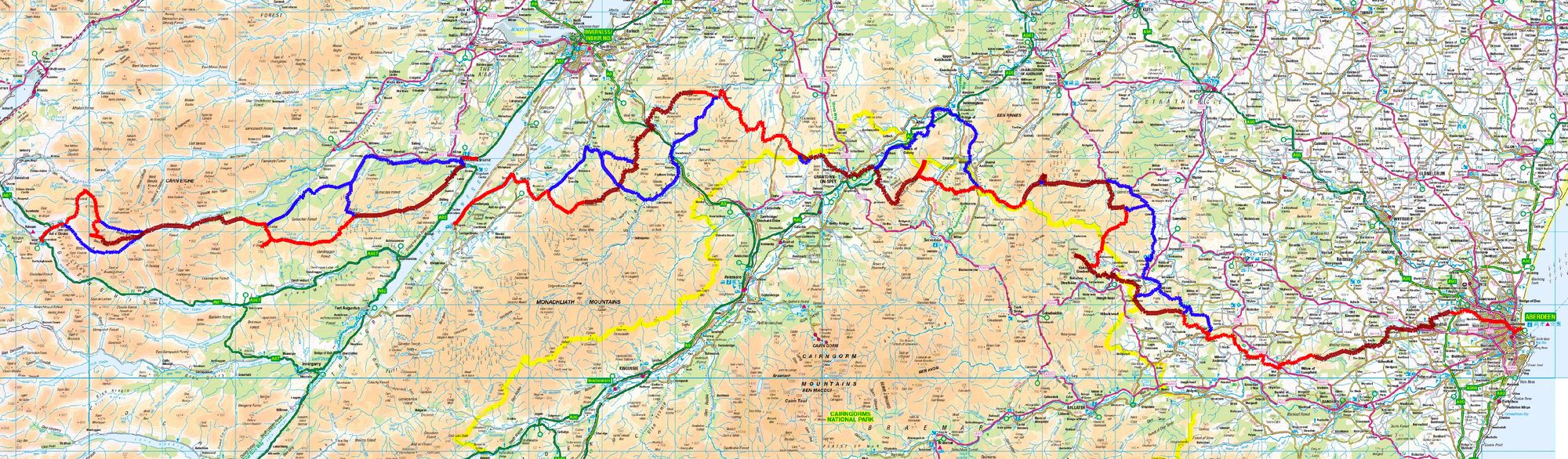
If enough of the route went to plan, my own list-ticking would get through the halfway point of the hill-bagging.co.uk's list of 231 Grahams (using the new 600m+ criteria) somewhere in the middle of the trip.
I went up to Shiel Bridge by train to Inverness and then - in the company of other TGOCers - on the bus, and stayed in the Shiel Bridge campsite.
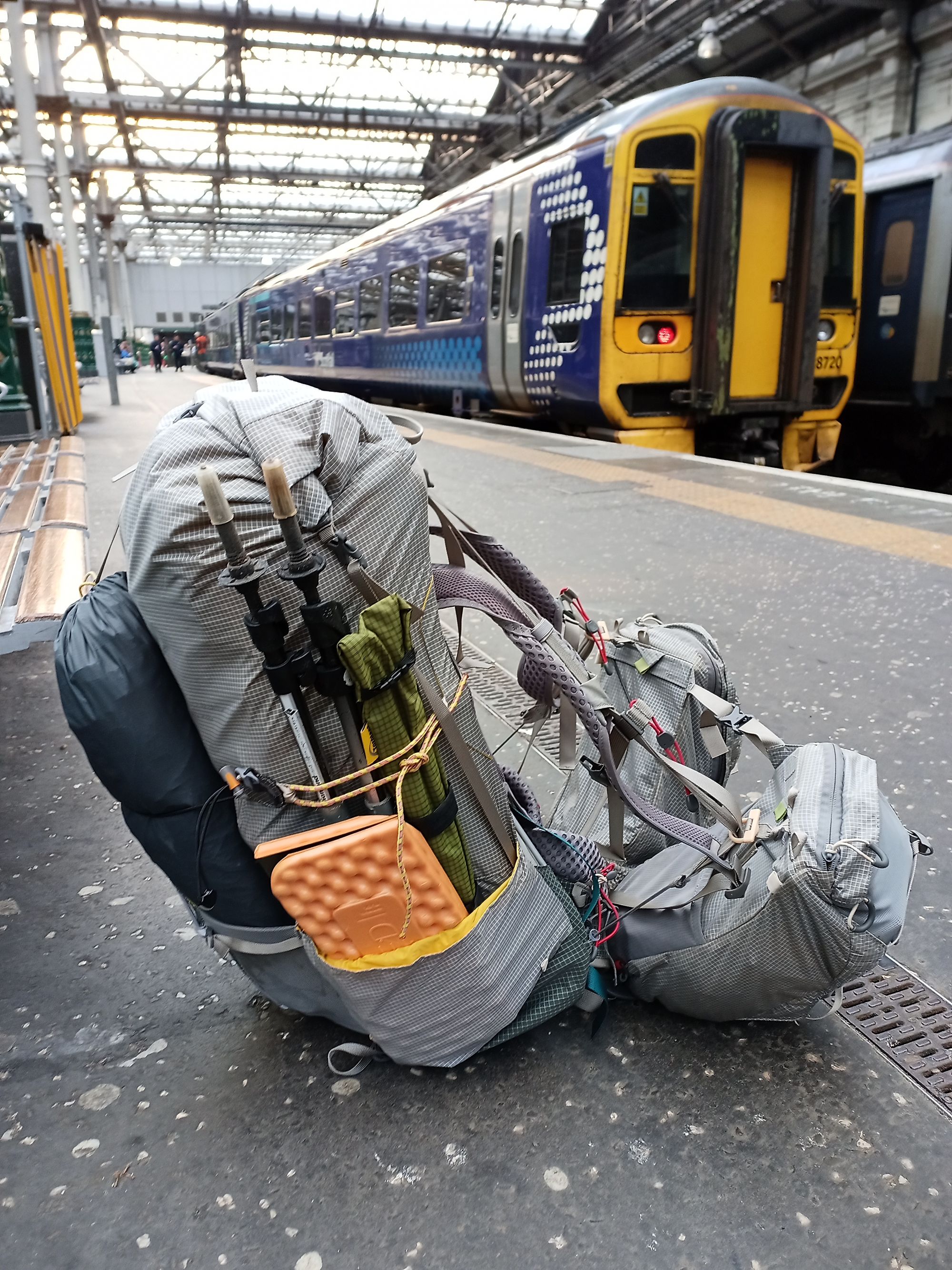
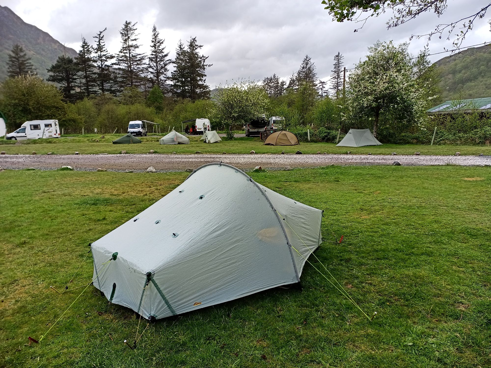
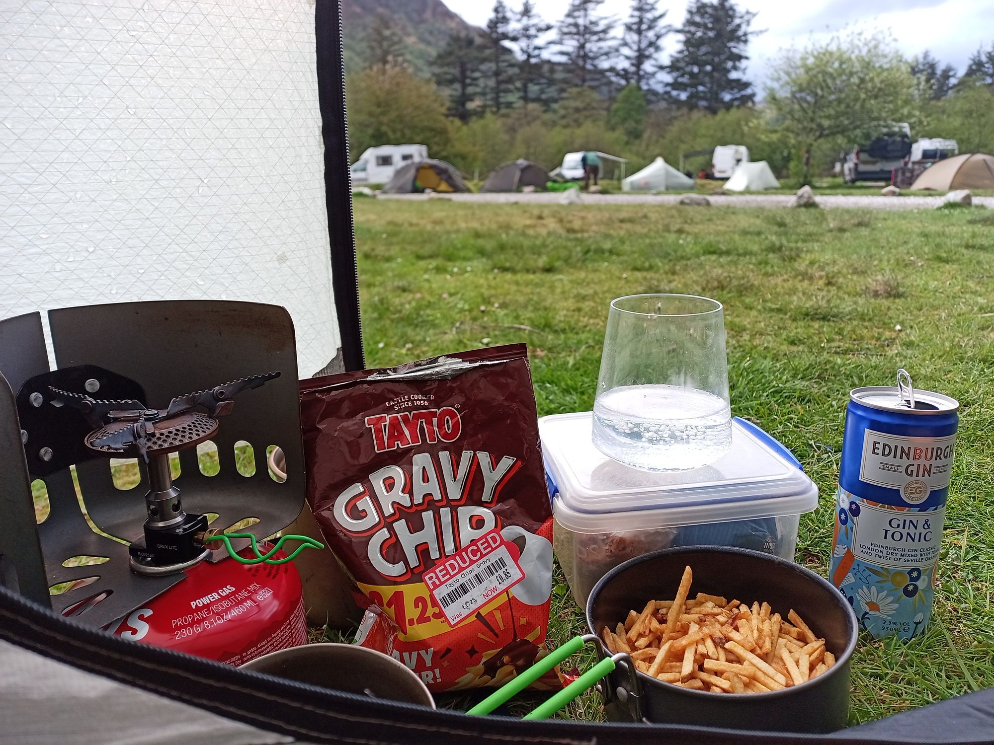
To Shiel Bridge campsite.
Day 1: Shiel Bridge - head of Loch Affric
Shiel Bridge - Morvich - Affric Kintail Way (passing Camban bothy & Alltbeithe SYHA) - Head of Loch Affric
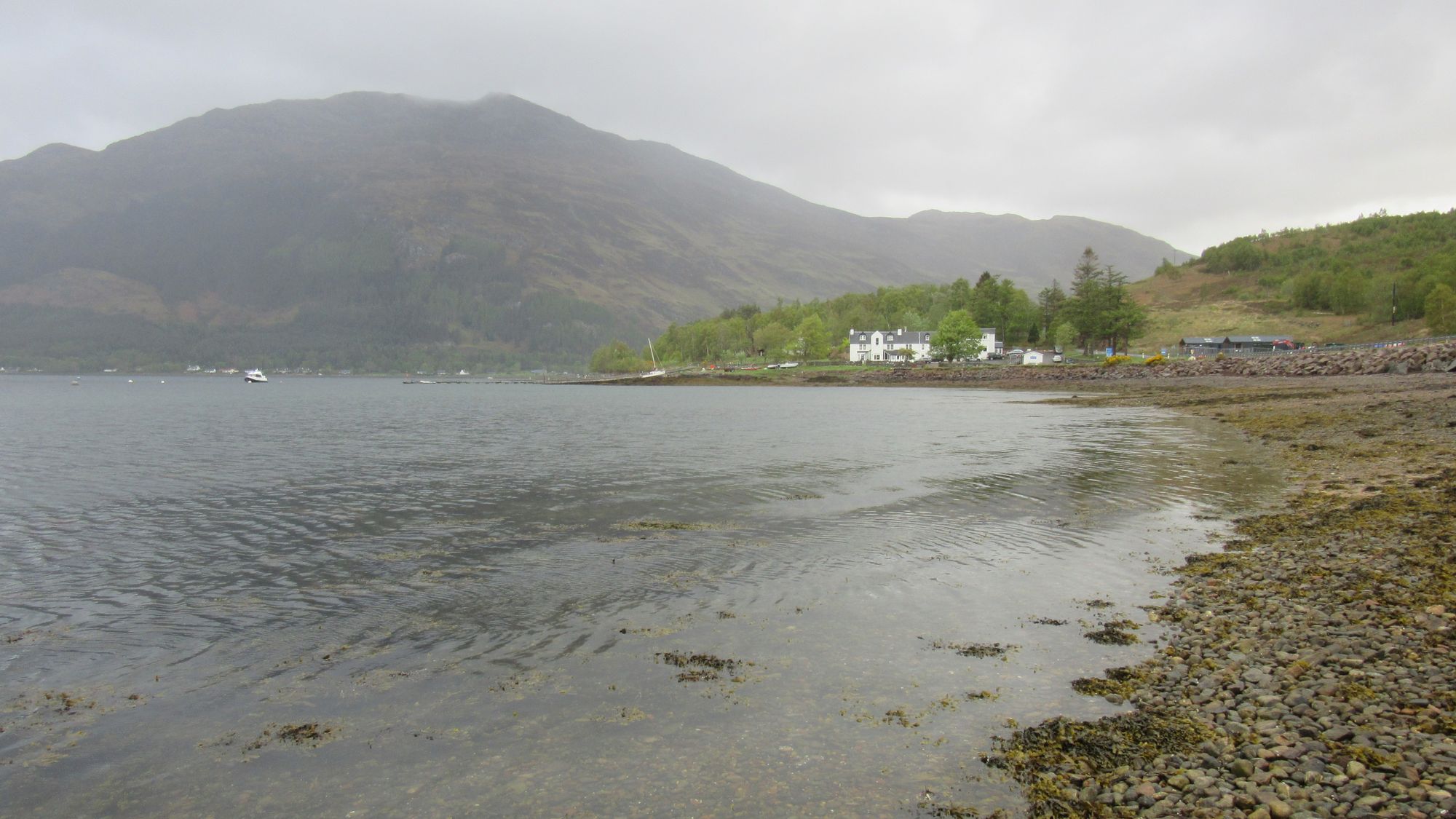
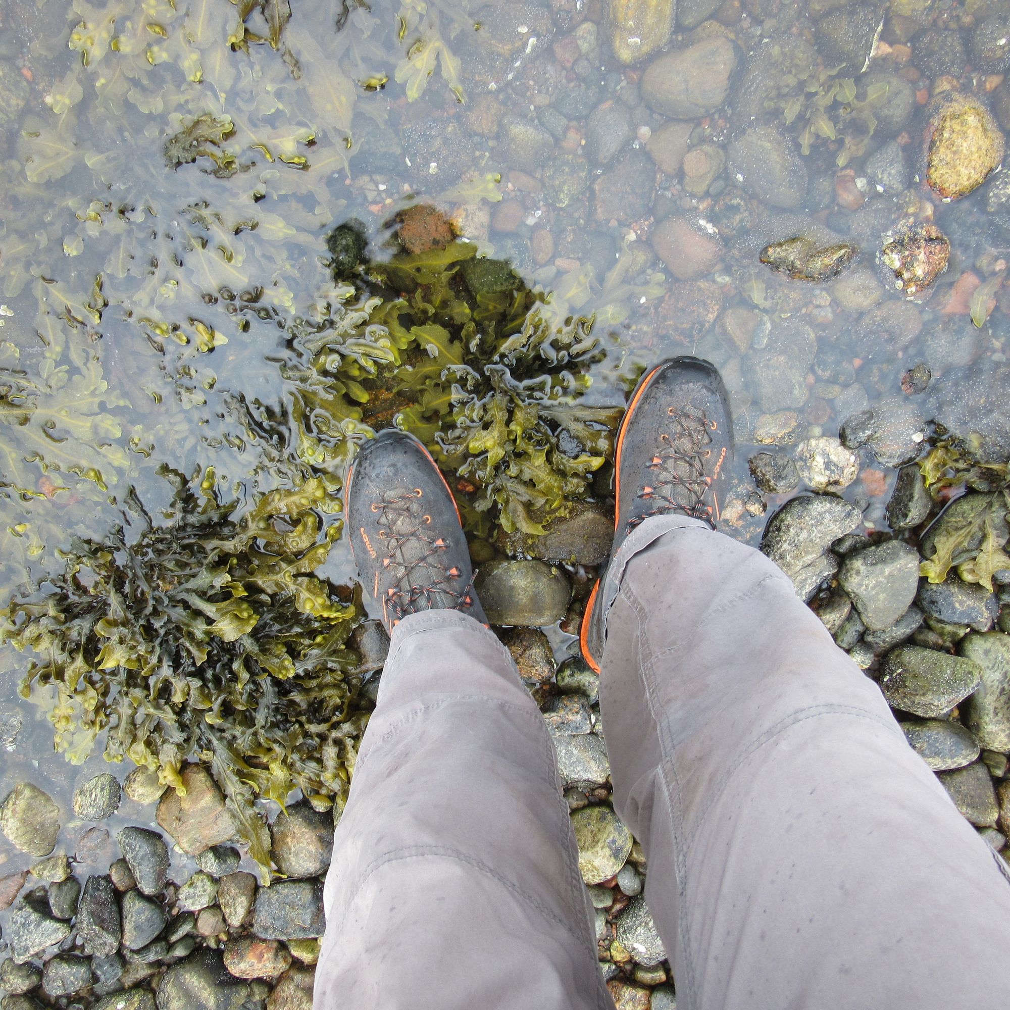
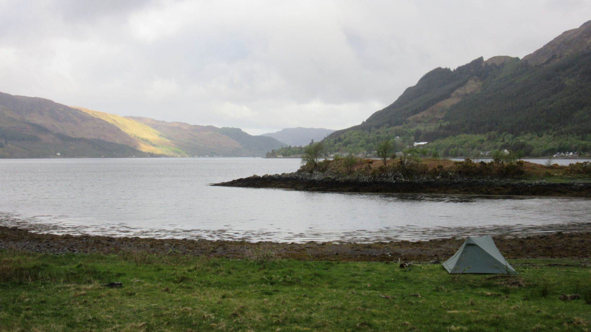
Starting off from the Kintail Lodge Hotel sign-out on Loch Duich.
My main route here had been an ambitious plan to bag the Graham Carnan Cruithneachd and then the two Munros of A’Ghlas-bheinn and Beinn Fhada, with a summit camp on Beinn Fhada. However the weather forecast was poor and with the waterproofs on soon after leaving Morvich and fast-moving cloud lowering onto the hills I reluctantly decided to save those hills for better weather - a Beinn Fhada summit camp in good weather would be particularly prized - and switched onto my FWA route along the Affric Kintail Way (AKW).
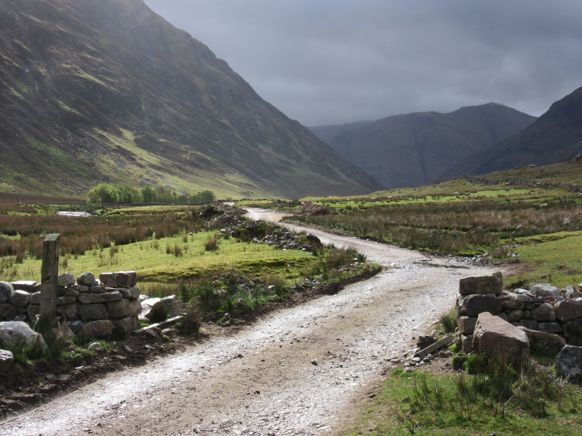
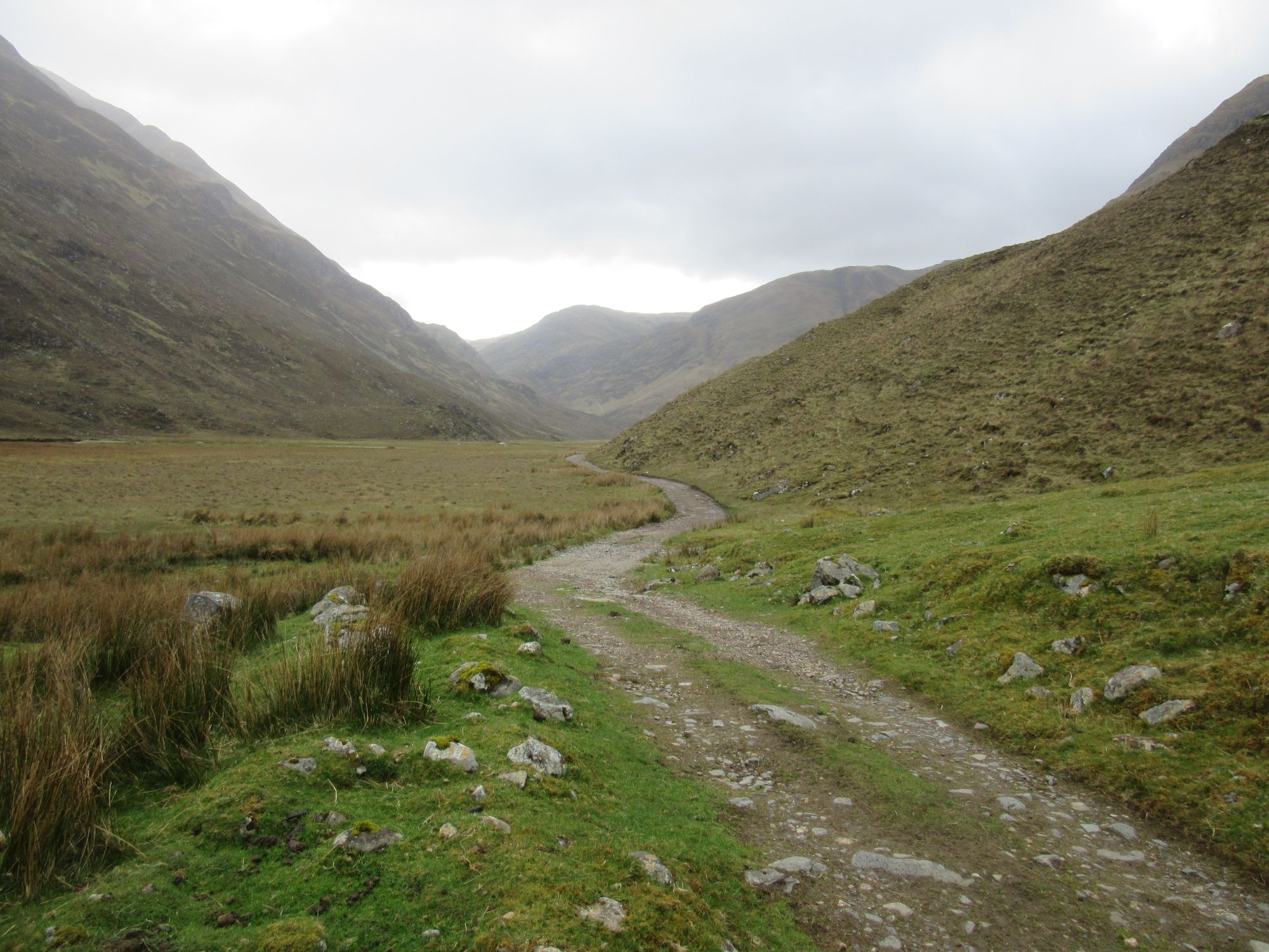
Onto the Affric Kintail Way.
There was considerable vehicle activity along the initial bit with (apparently) a site used for filming a forthcoming "Highlander" film being dismantled and transported out. Under heavy showers I soon met many AKWers heading westwards, including a couple of horse riders.
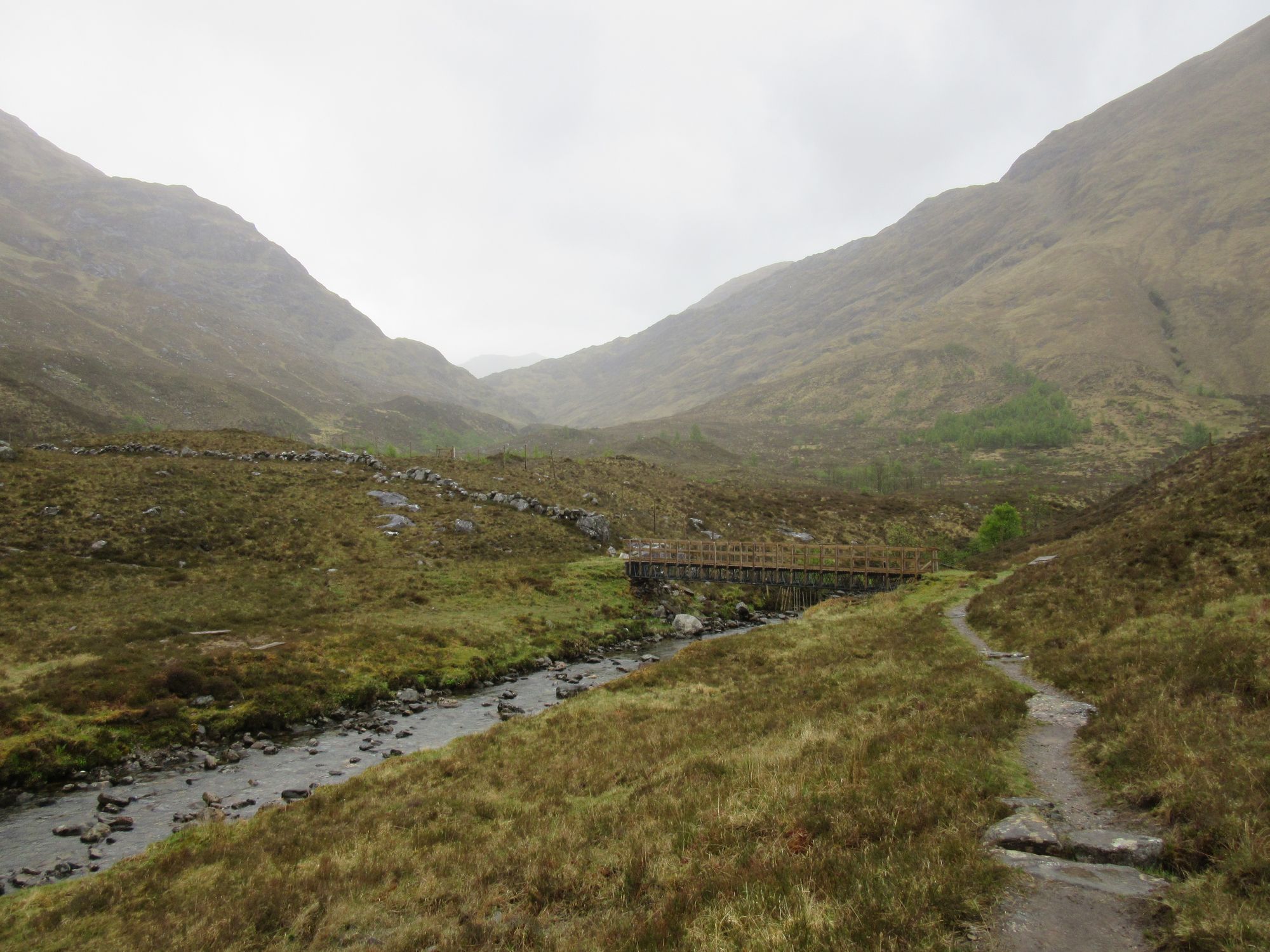
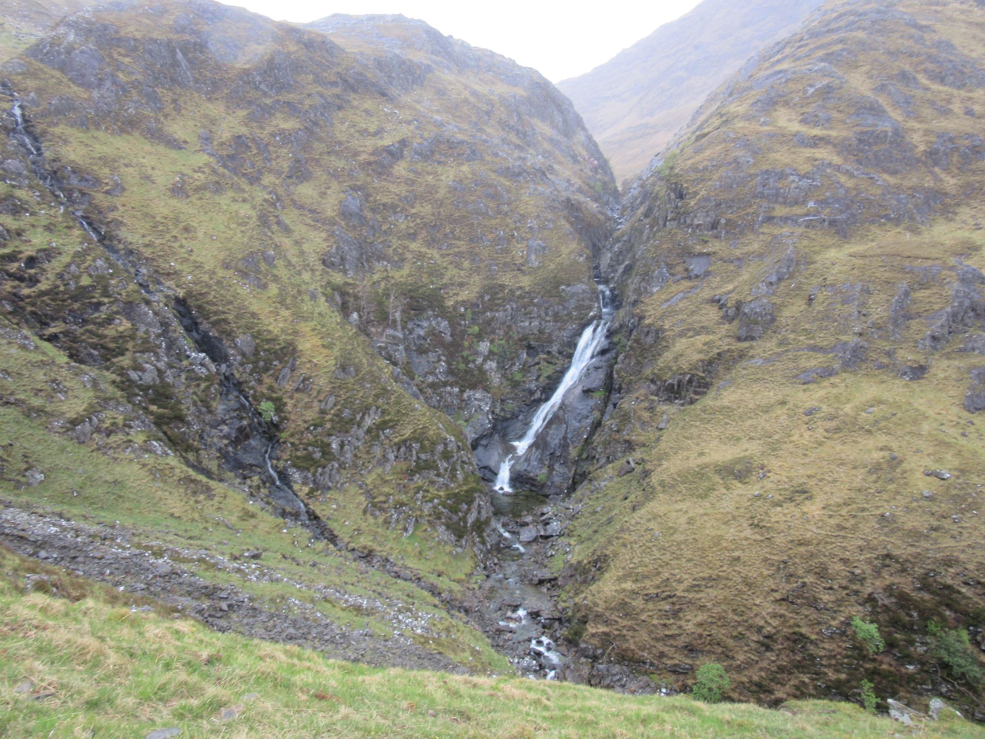
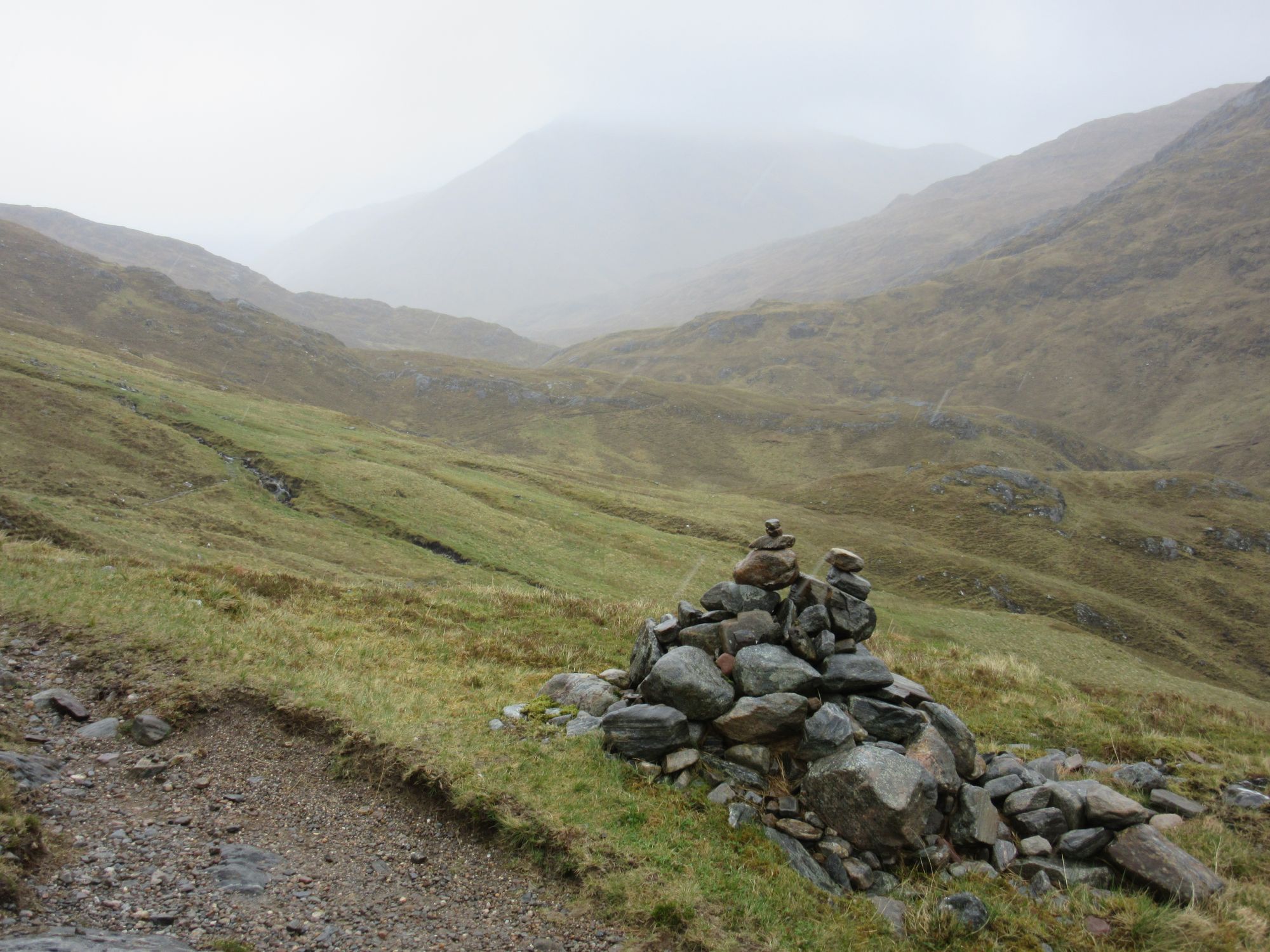
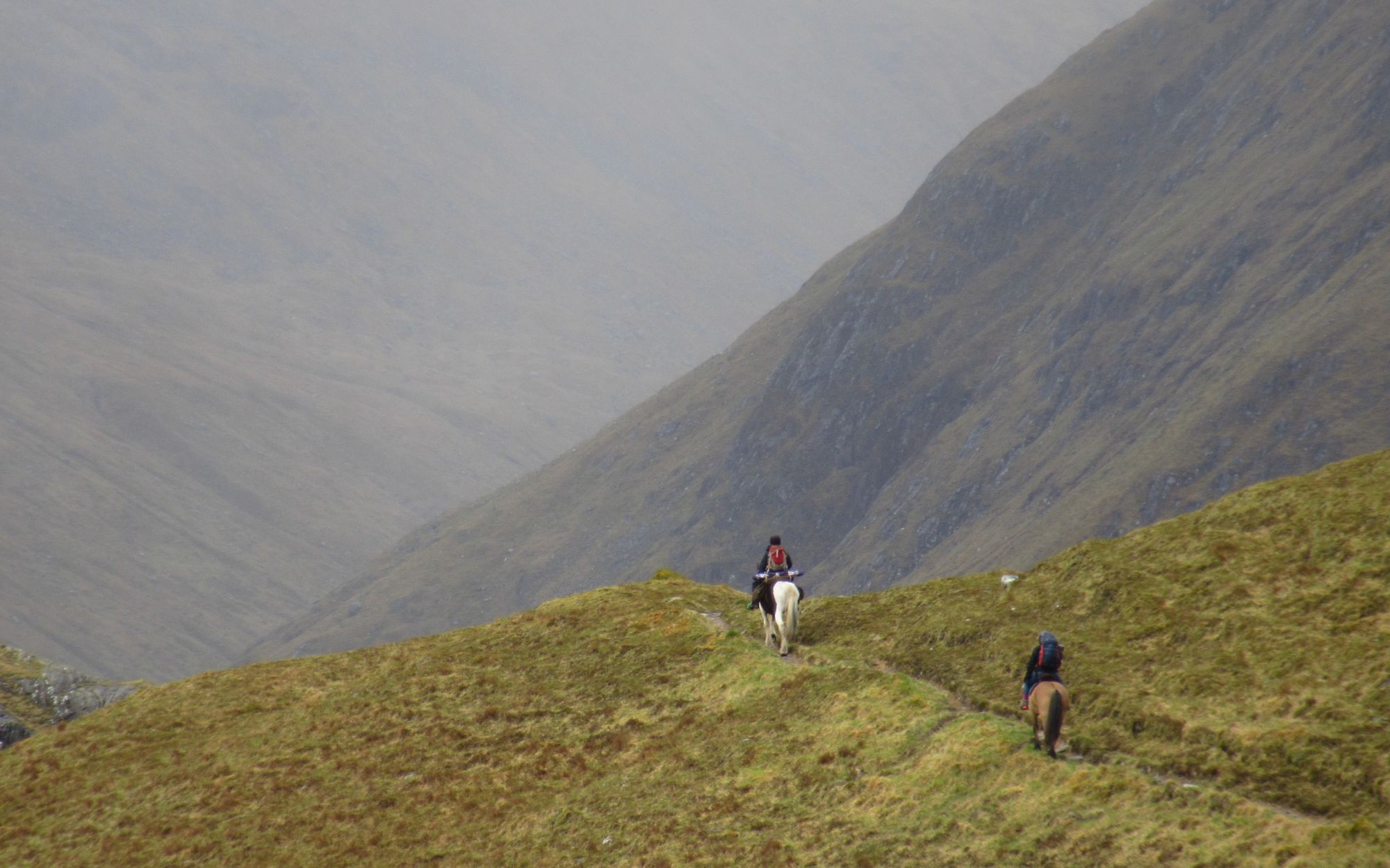
Along a soggy AKW.
The weather was improving by the time I reached Camban Bothy for a lunch stop.
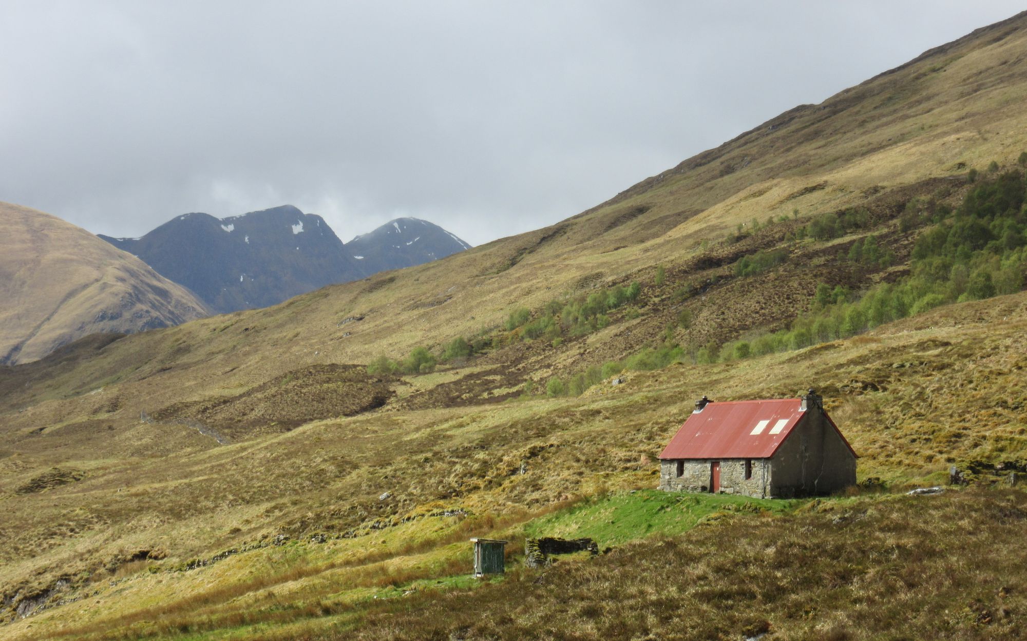
Looking back at Camban Bothy.
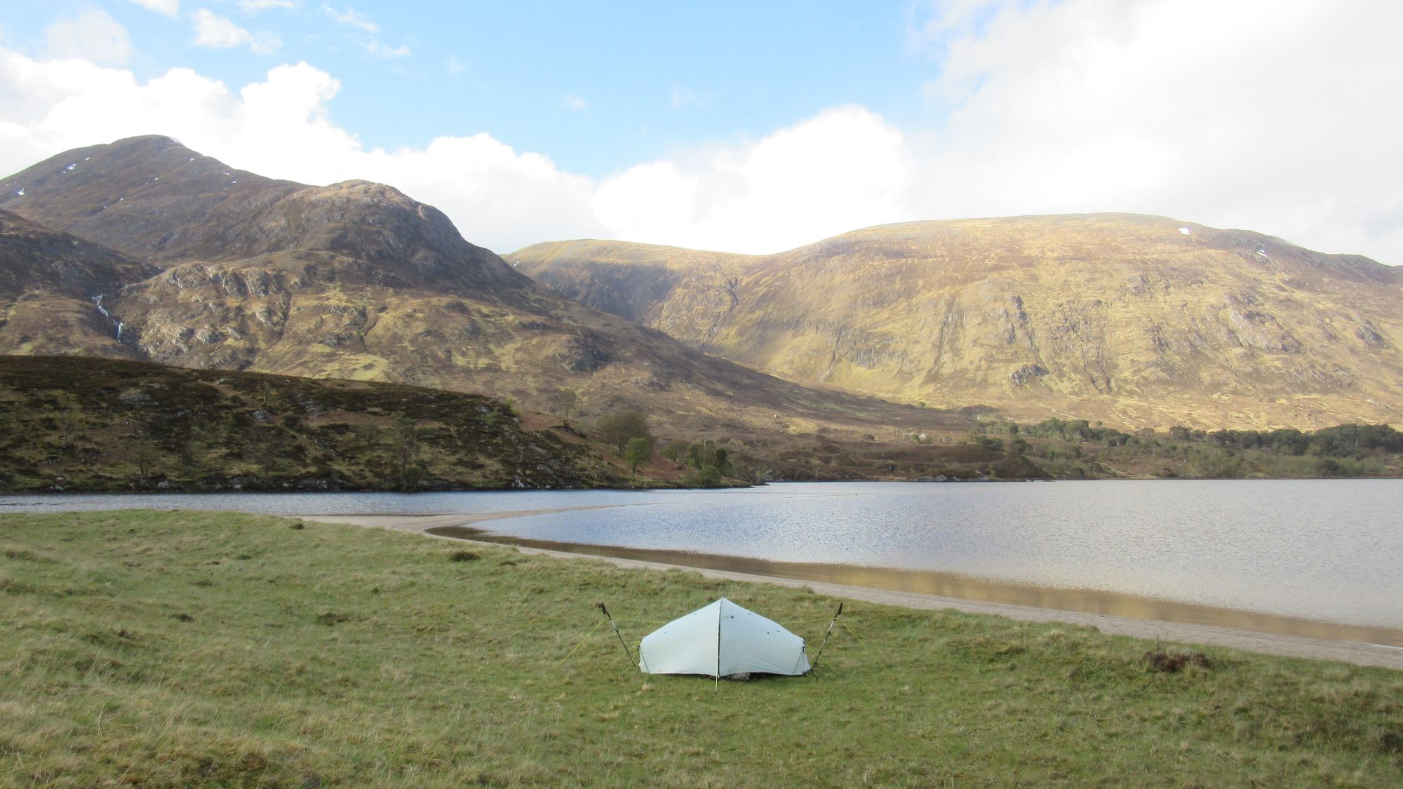
I passed by a busy looking Alltbeithe SYHA and later Strawberry Cottage, eventually deciding the "beach" at the west end of Loch Affric was a nice spot to call it a day. Quite a few other TGOCers and AKWers soon turned up.
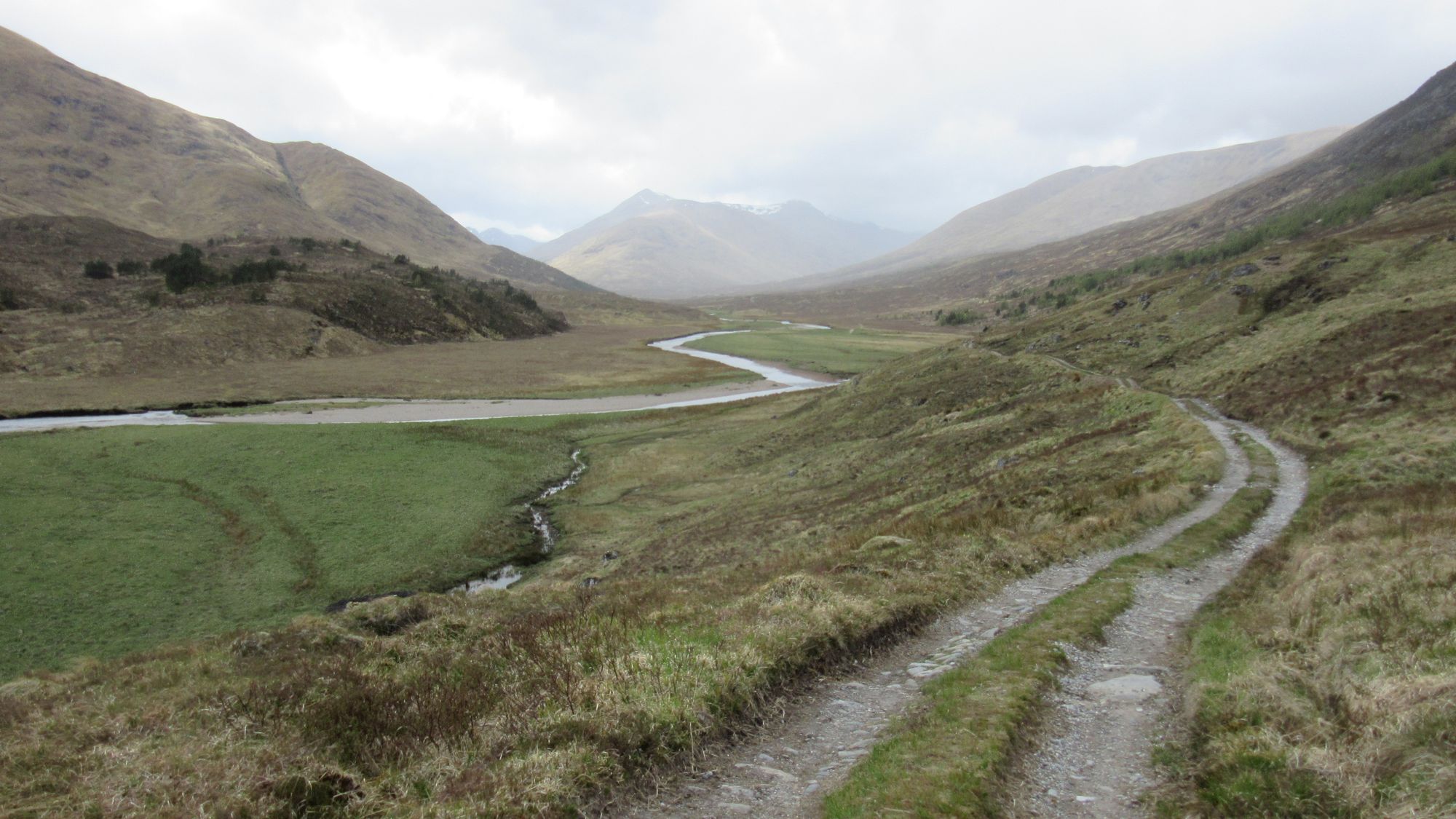
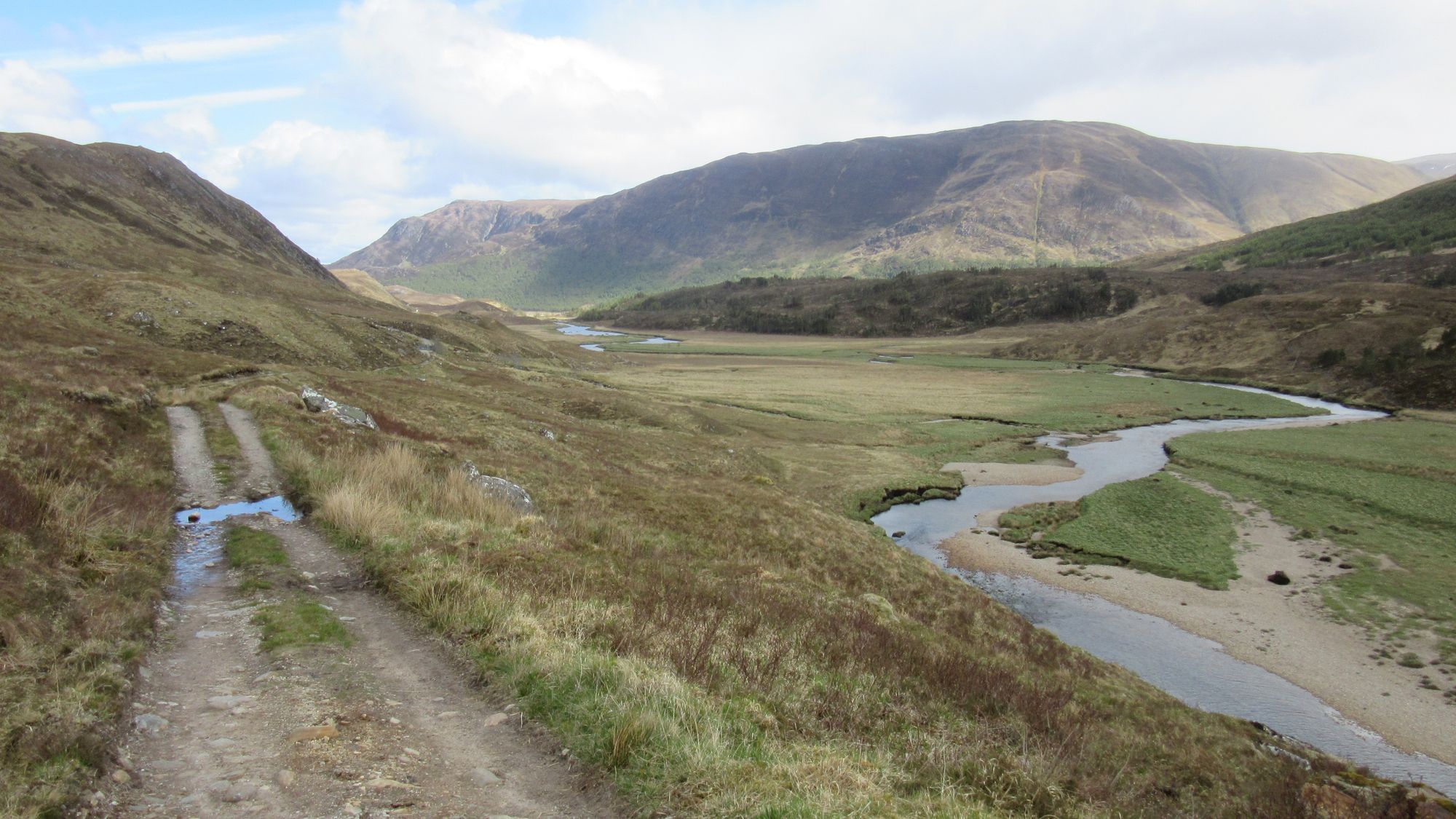
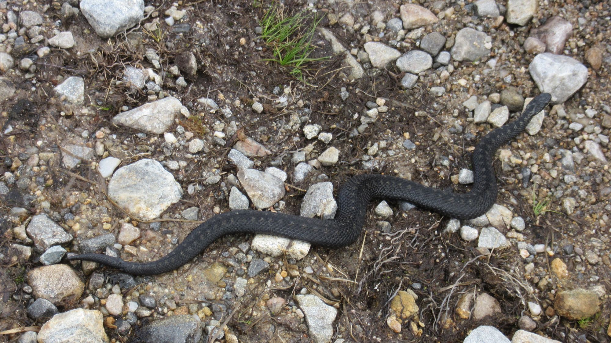
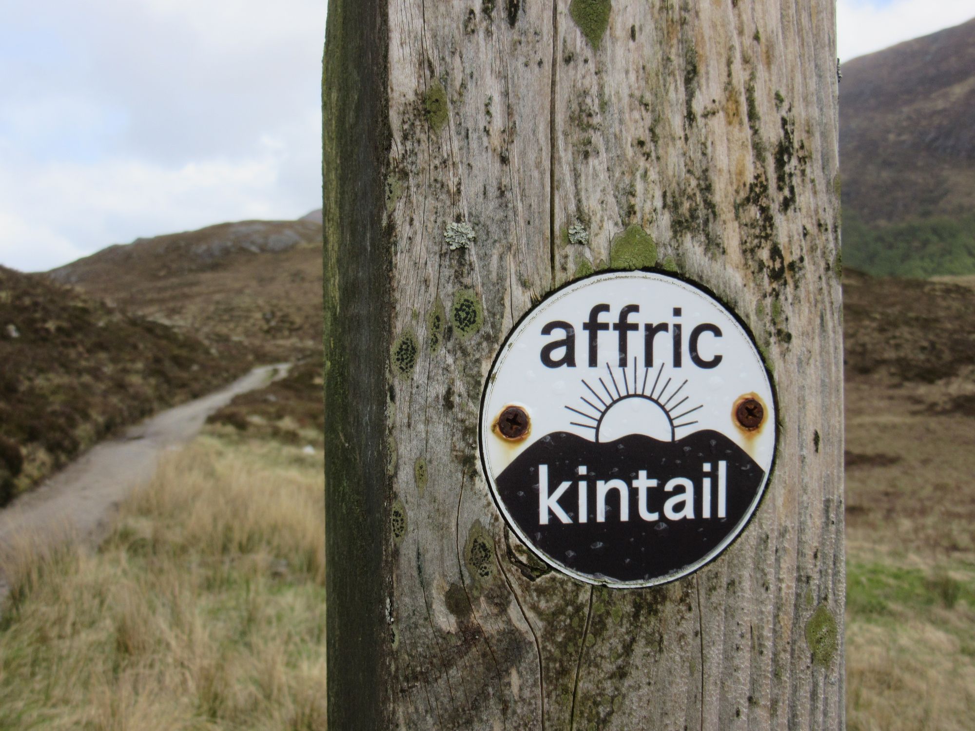
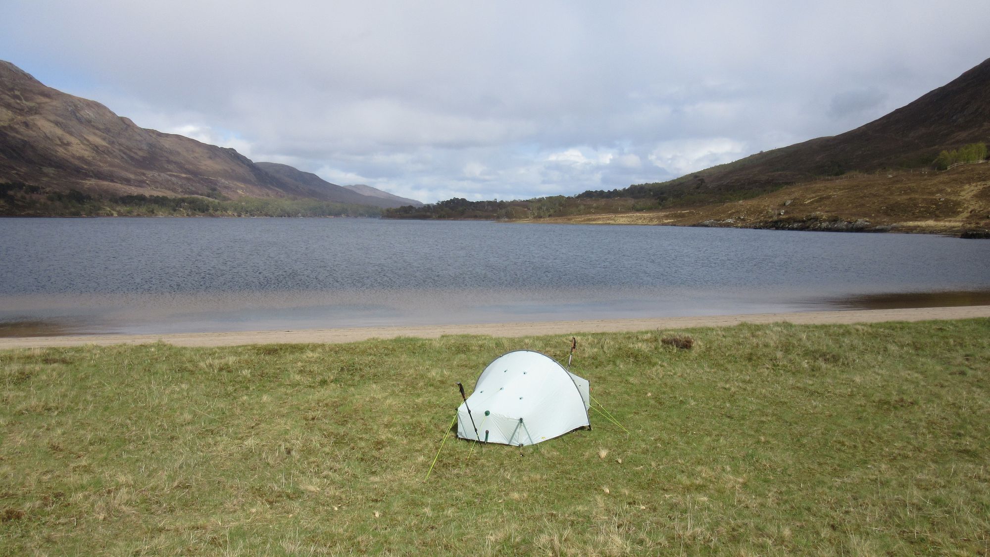
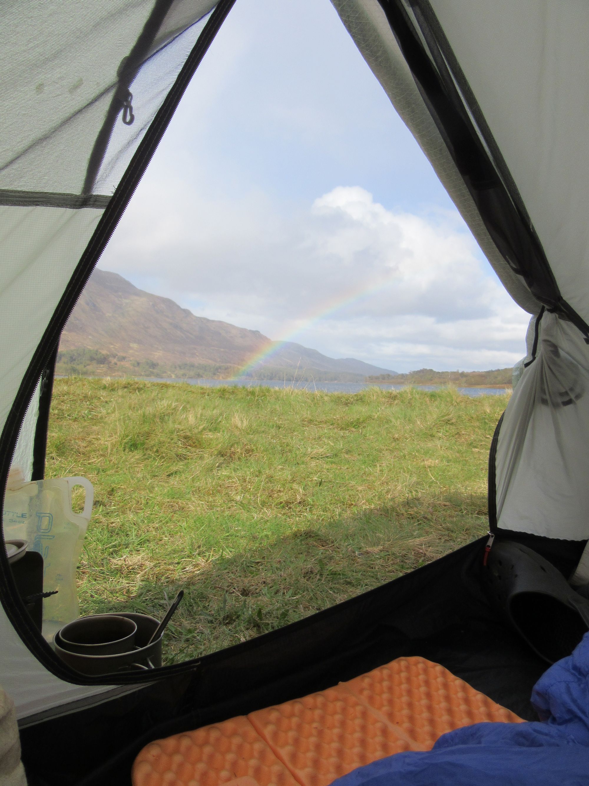
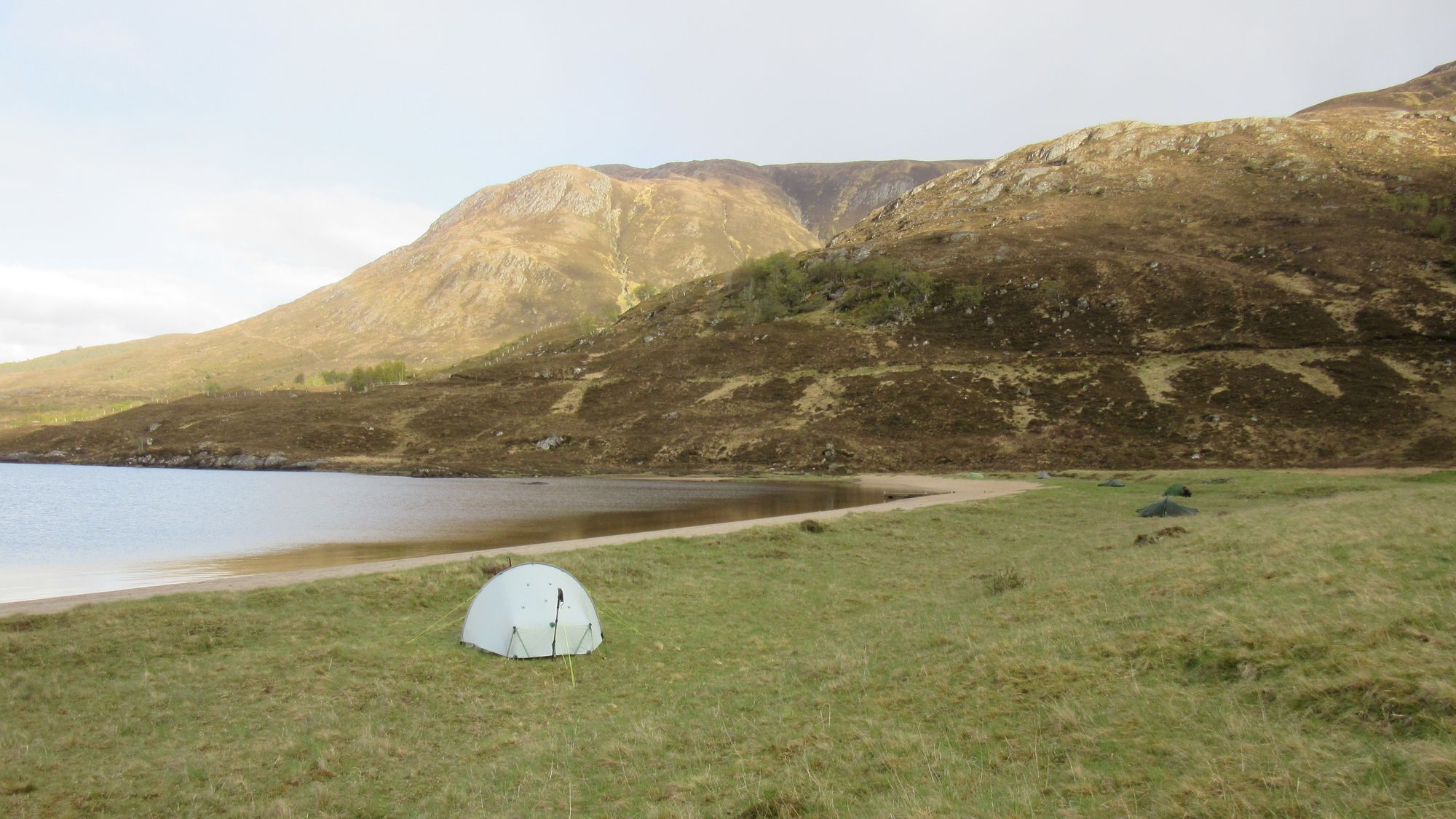
Along the AKW to camp atthe head of Loch Affric.
I was now about half a day ahead of schedule as the FWA specified on my TGOC "route sheet" had been more aligned with the Beinn Fhada plan, but it would have been too short a day to actually stop earlier. I'd maintain this lead until arriving in Drumnadrochit on the 4th day.
Day 2: Loch Affric to Carn Mhic an Toisich
Head of Loch Affric - Affric Kintail Way - leave AKW at Allt Garbh - Allt an Laghair loch - Cougie - Bealach Feith na Gamhna - out-and-back to Carn a’Chaochain (G;706m;#1) – Carn Mhic an Toisich (G;680m;#2)
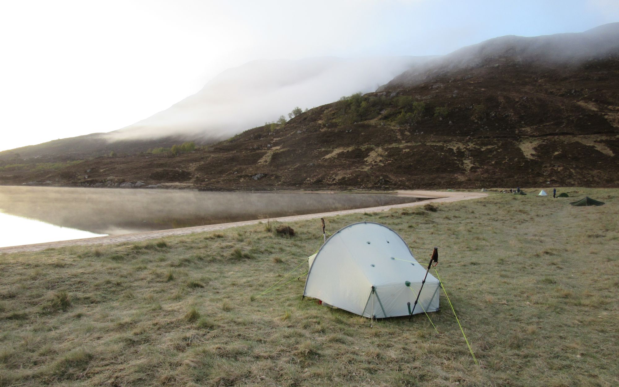
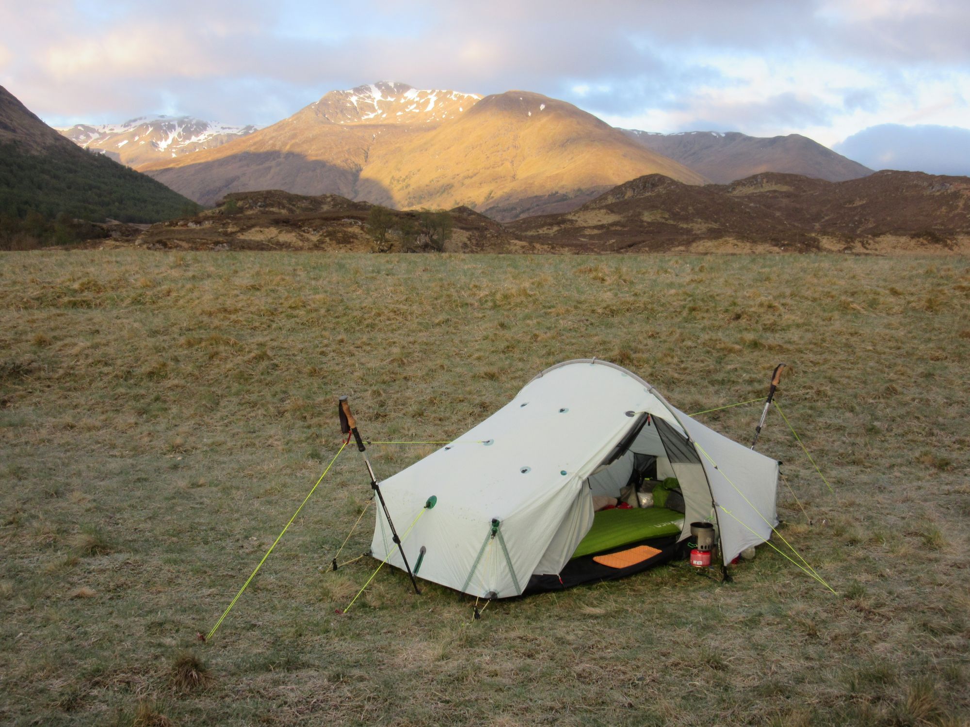
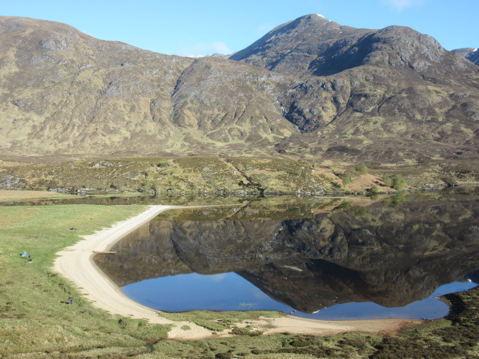
Morning besides Loch Affric.
In better weather than yesterday I continued eastwards on the AKW on the track south of Loch Affric before turning south to climb away from it on a path (boggy in places) and then track over to Cougie.
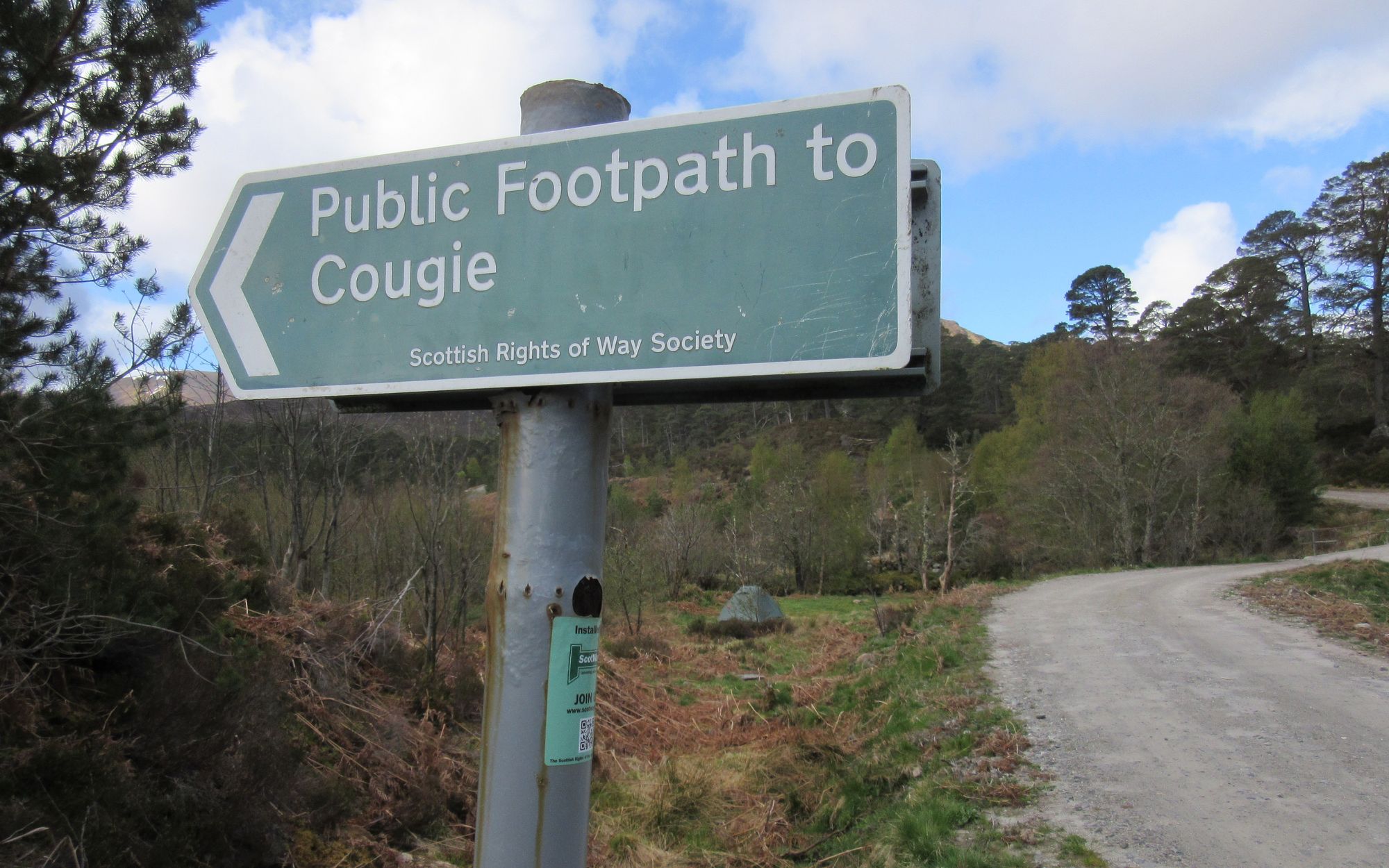
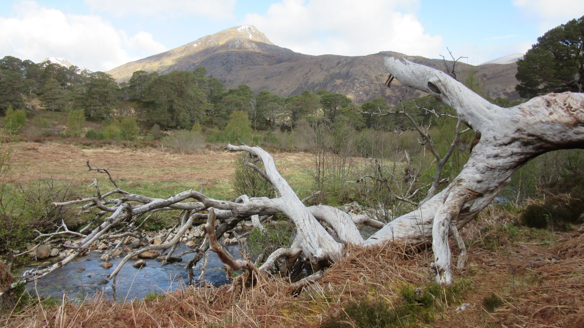
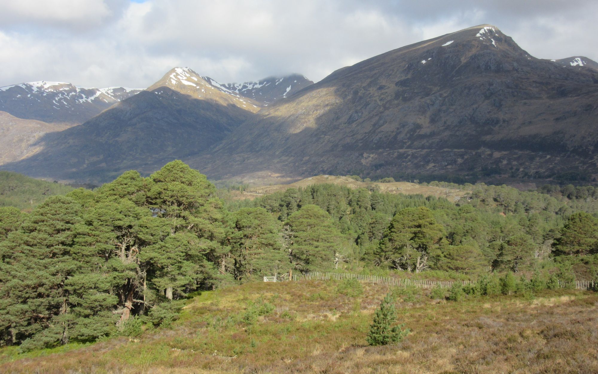
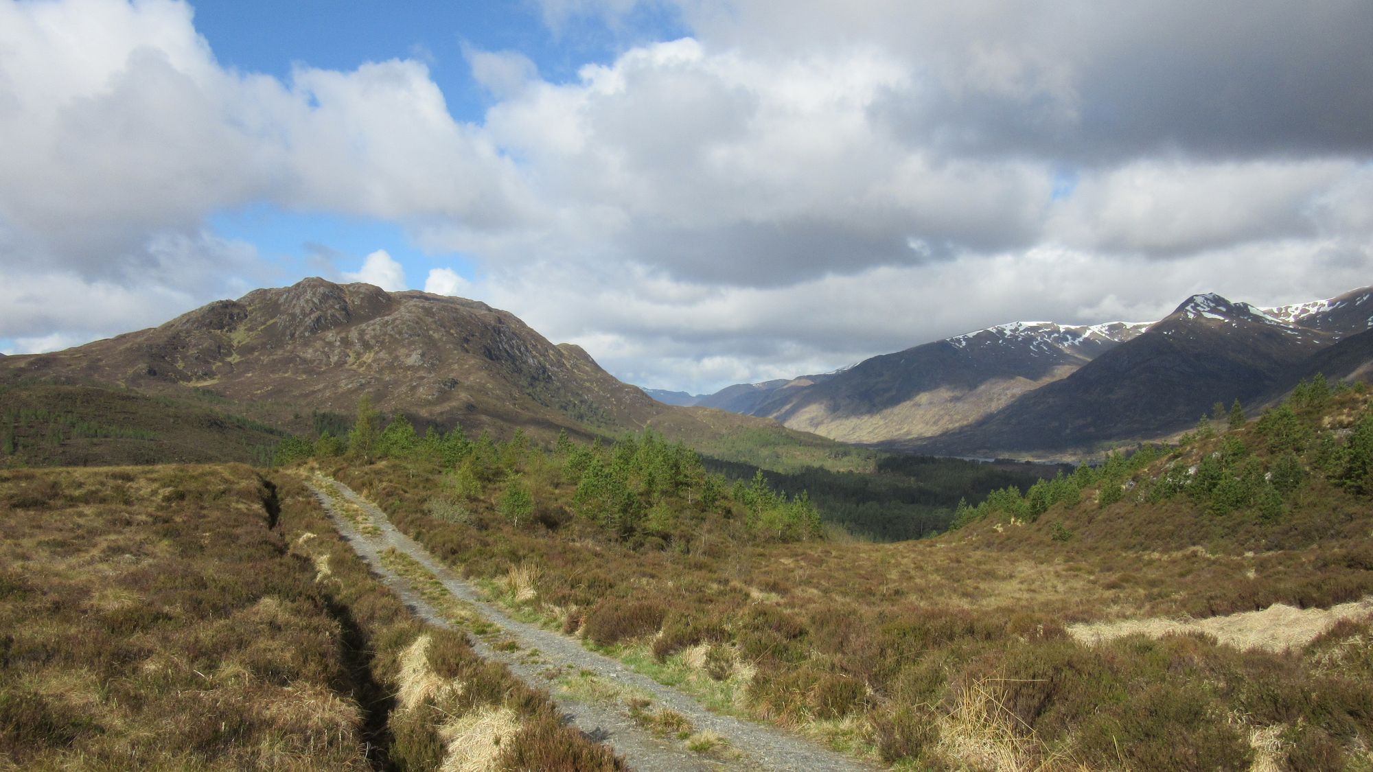
Along the way to Cougie.
Just outside of Cougie a small cairn besides the track marked the start of a path leading up to the Bealach Feith na Gamhna from where I headed up on and out-and-back visit to the first Graham of the trip: Carn a’Chaochain, a somewhat tedious business as the summit (not at the trig point) lay at the far south-west end and I was approaching from the north-east.
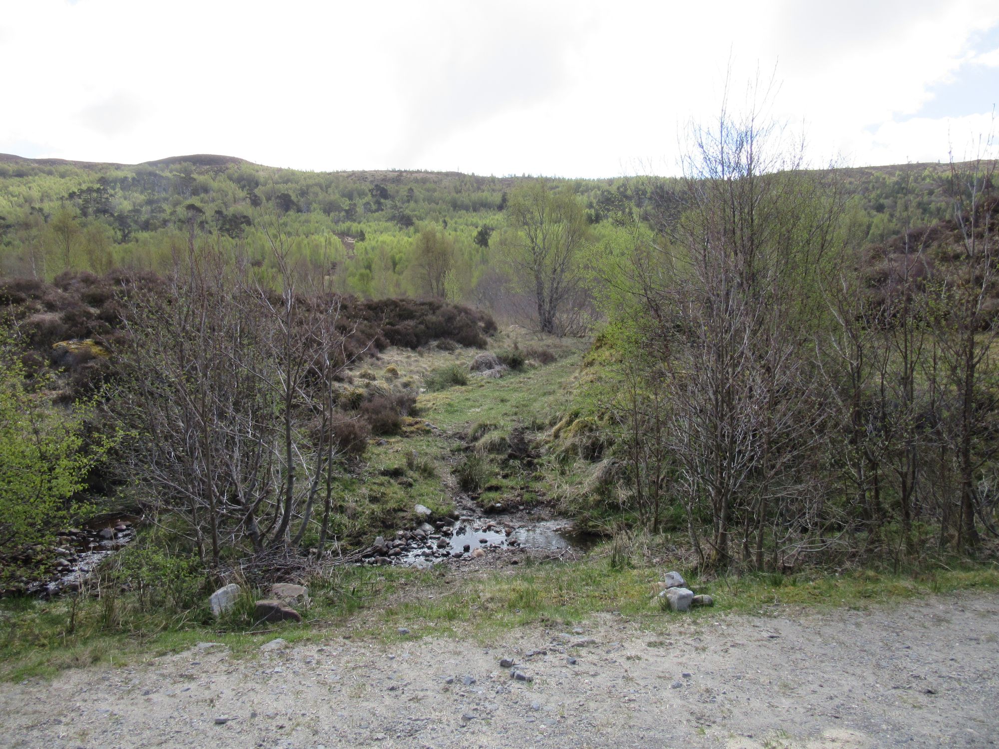
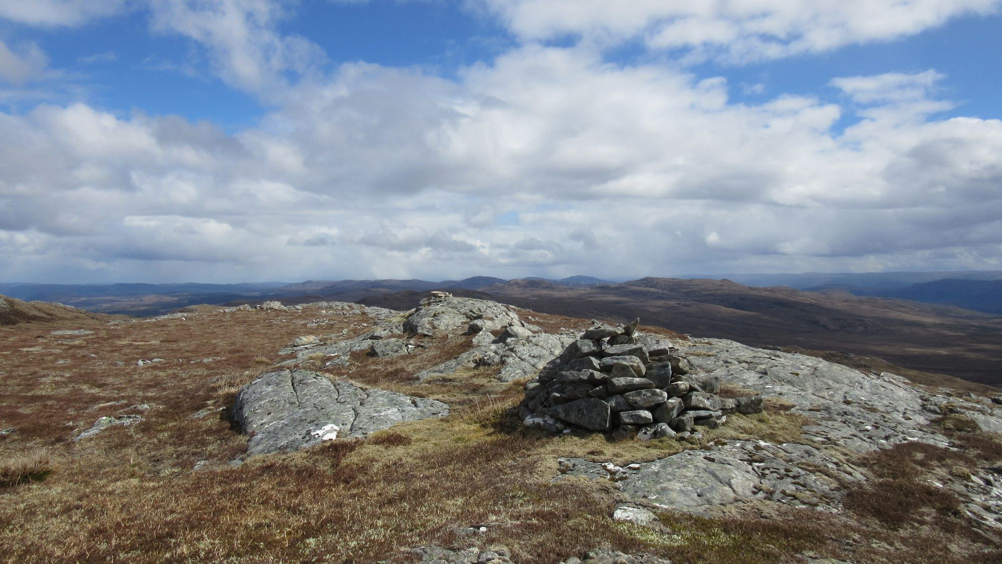
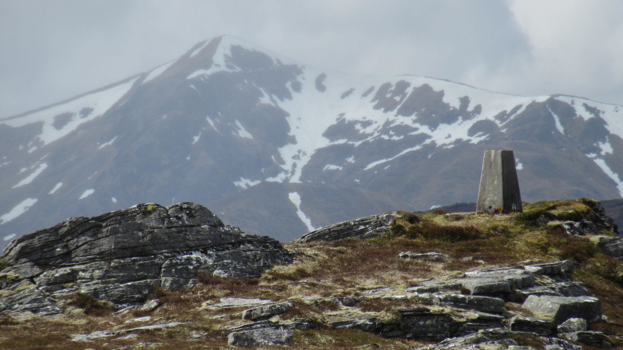
Carn a’Chaochain, first Graham of the trip visited.
Returning to the bealach, from there I continued eastwards past a couple of lochans to reach a line of pylons. I briefly followed their accompanying parallel track to help a little in gaining the summit of another Graham: Carn Mhic an Toisich where I made a camp.
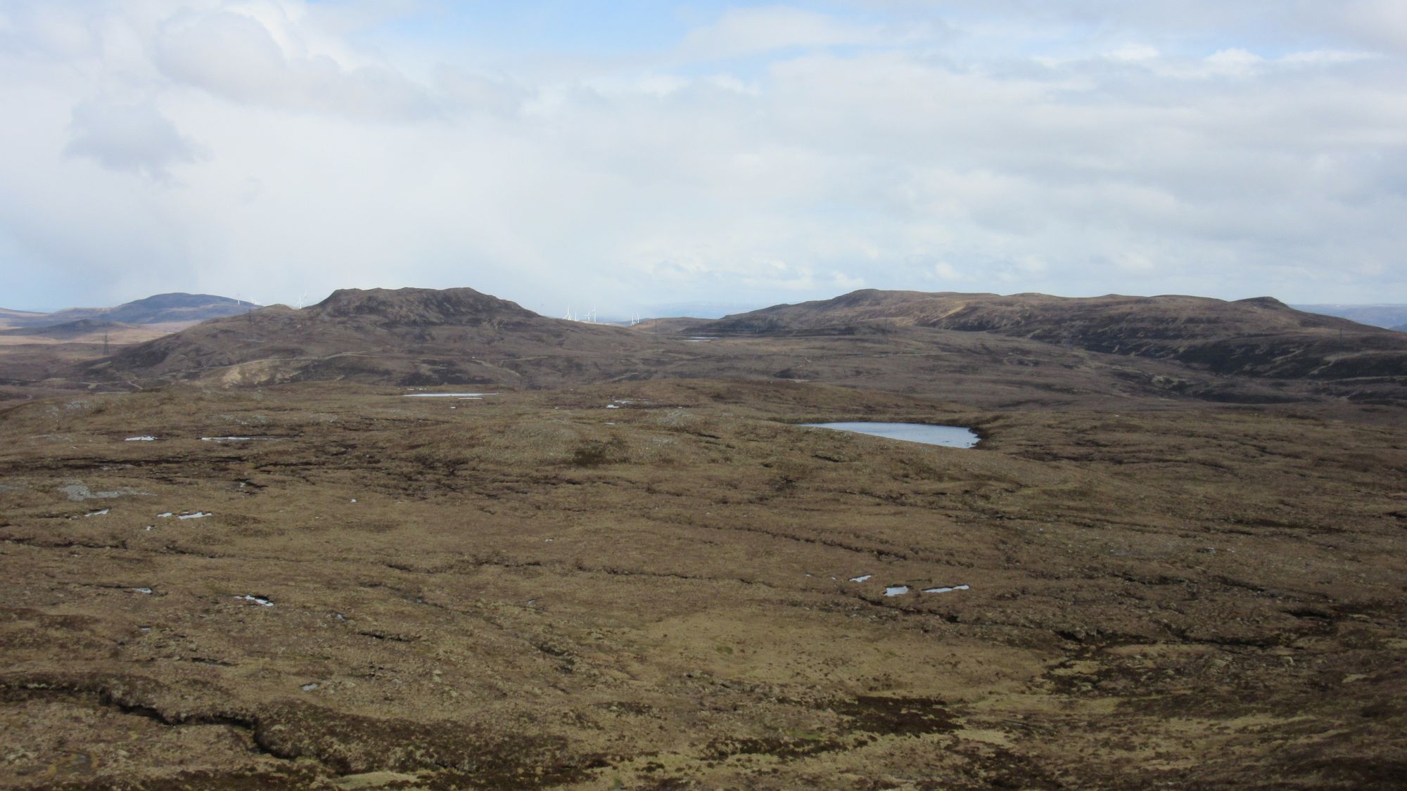
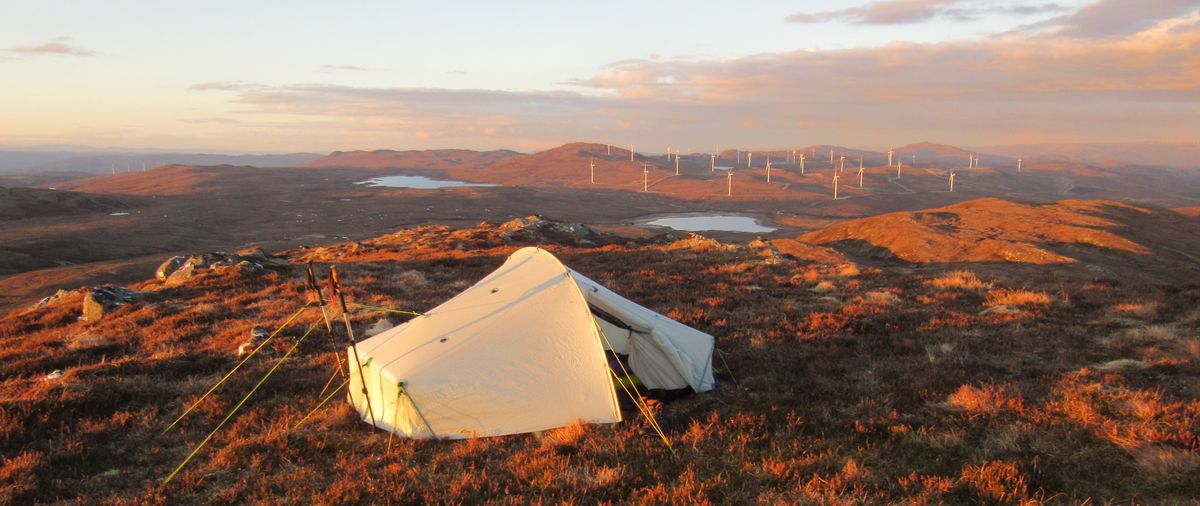
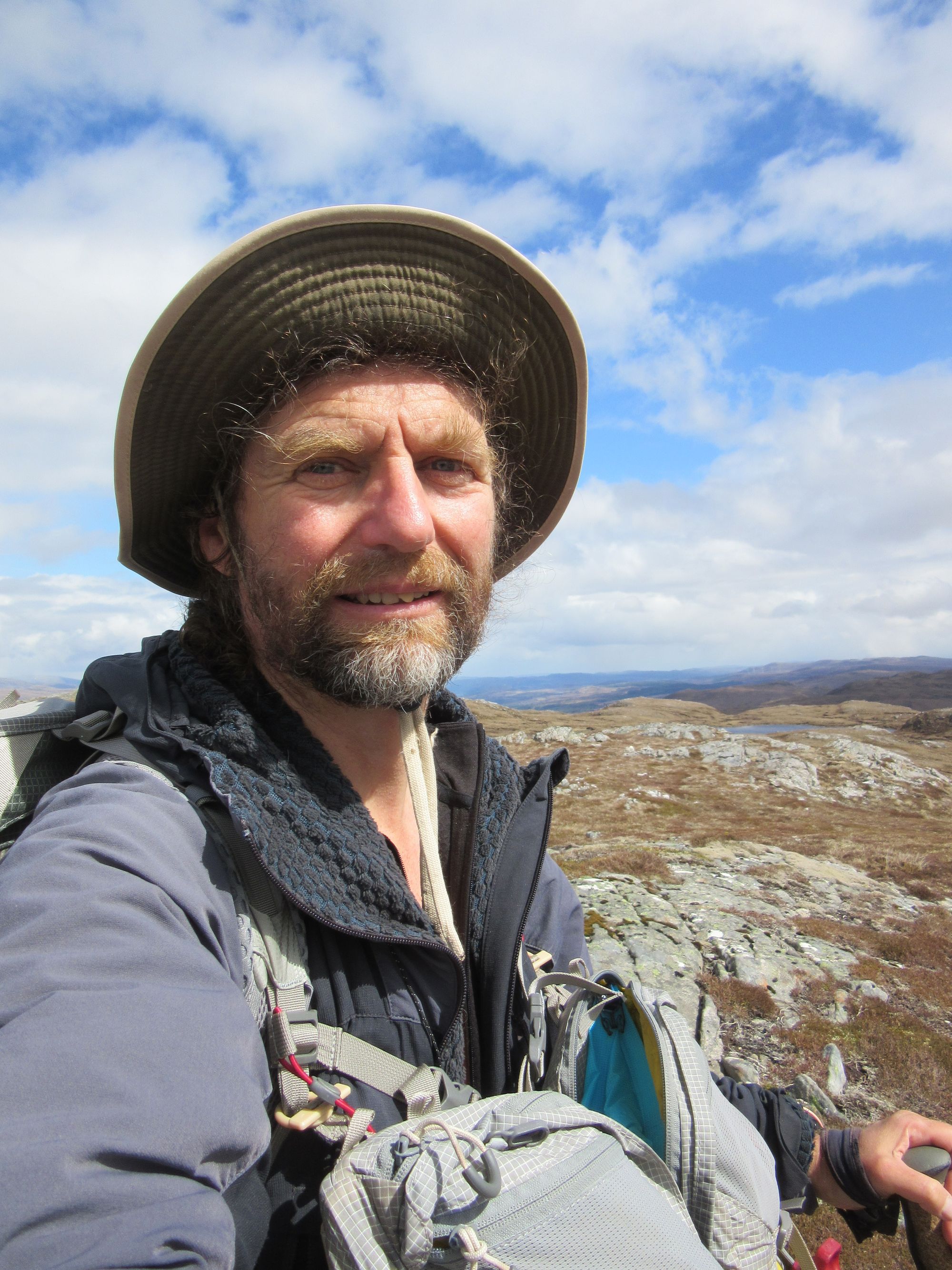
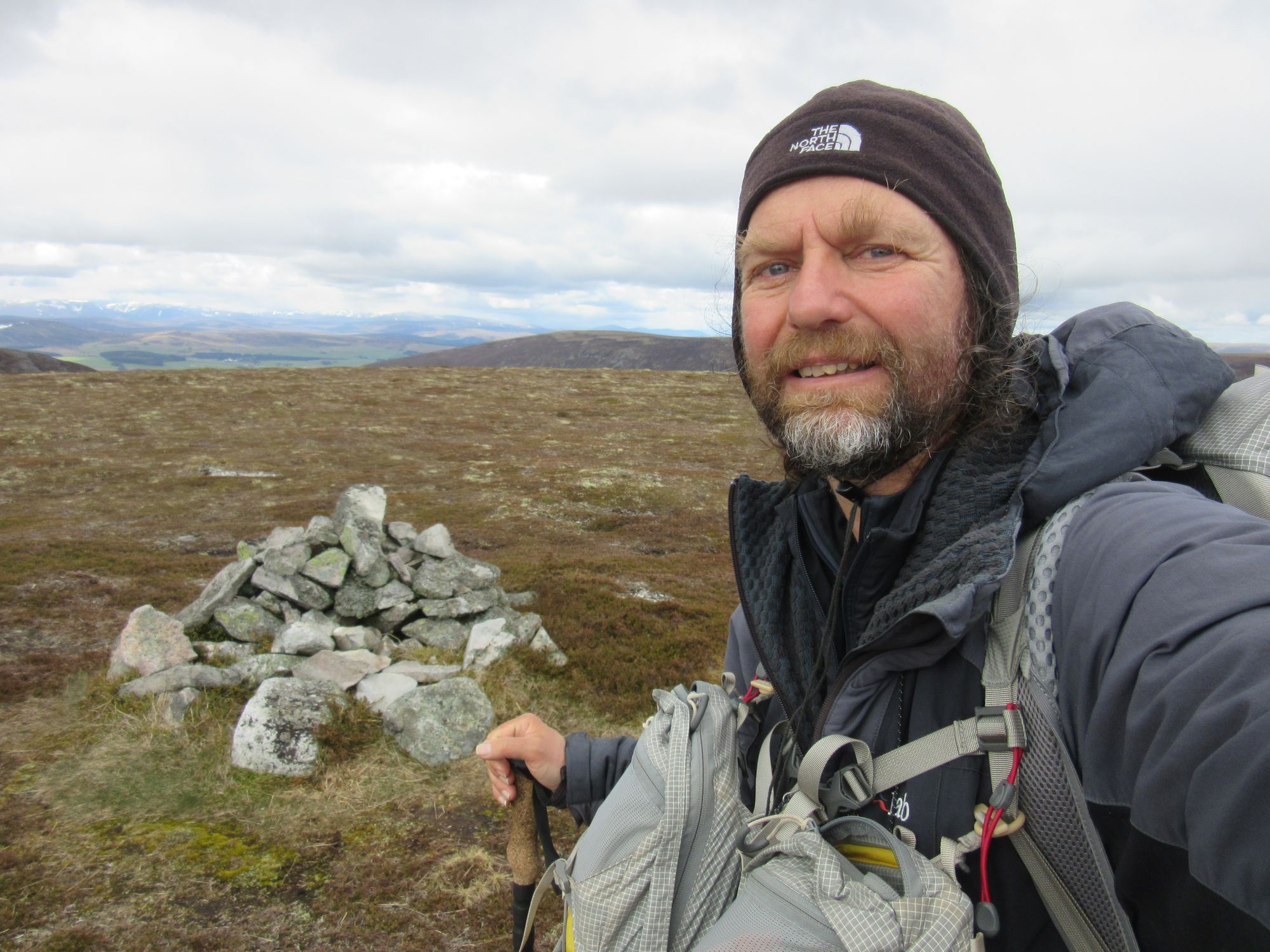
There was a cold wind, but it was probably best "golden hour" summit camp of the trip.
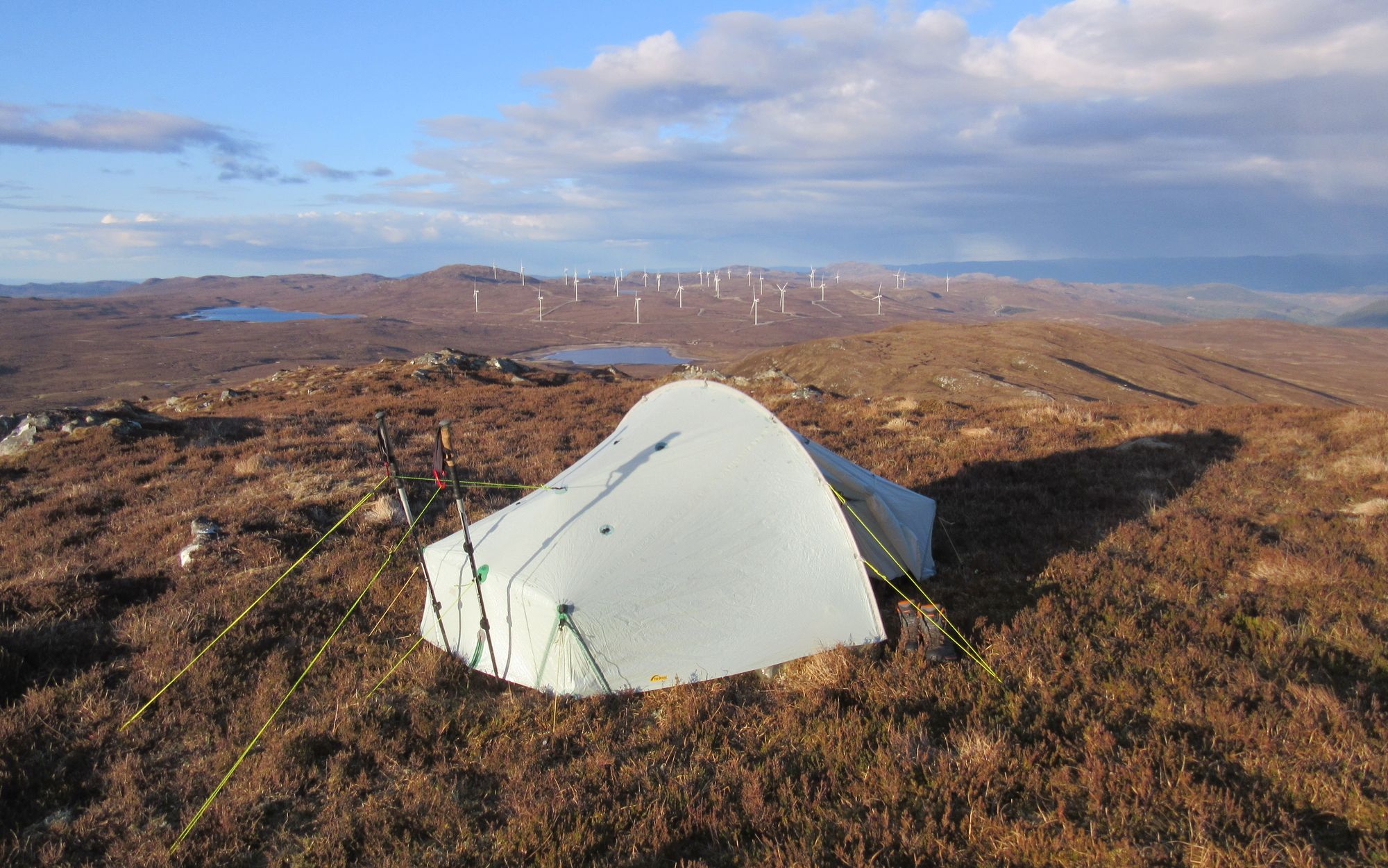
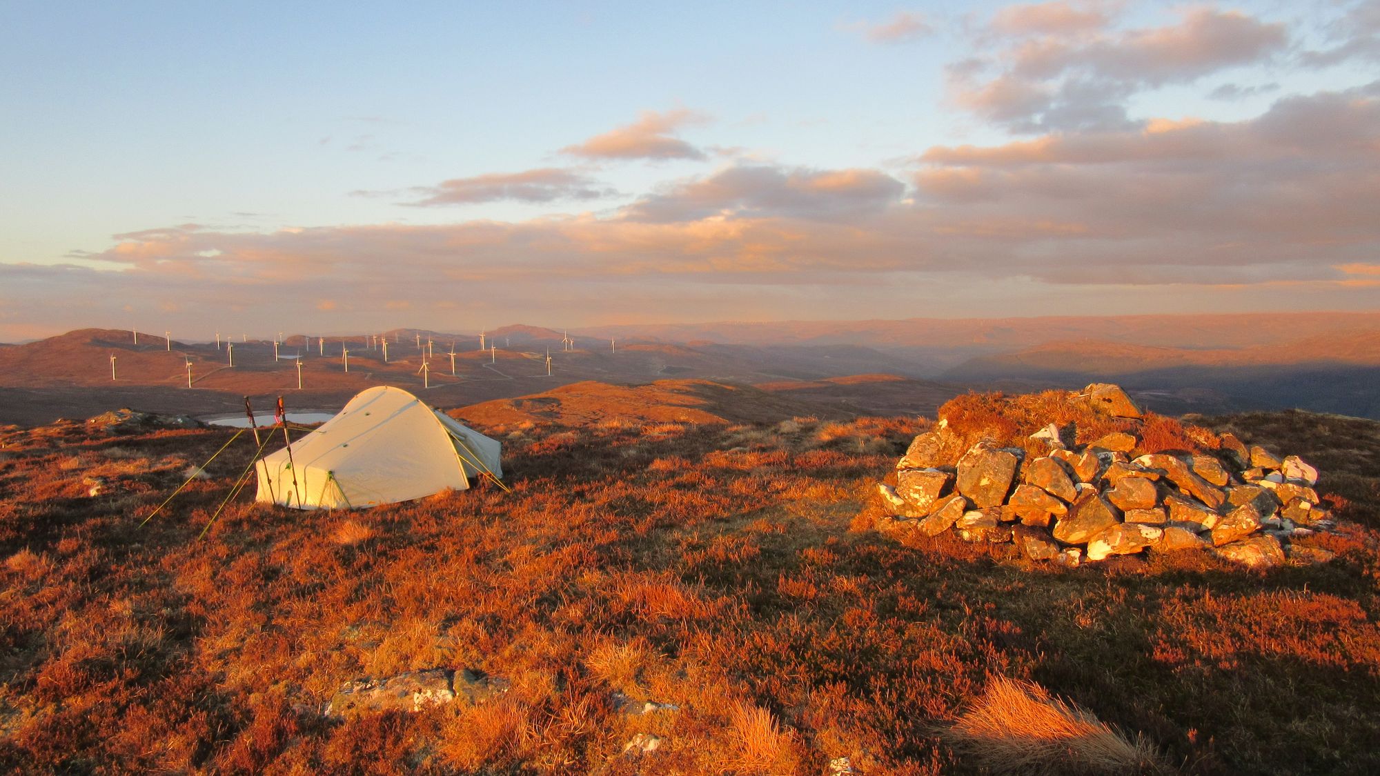
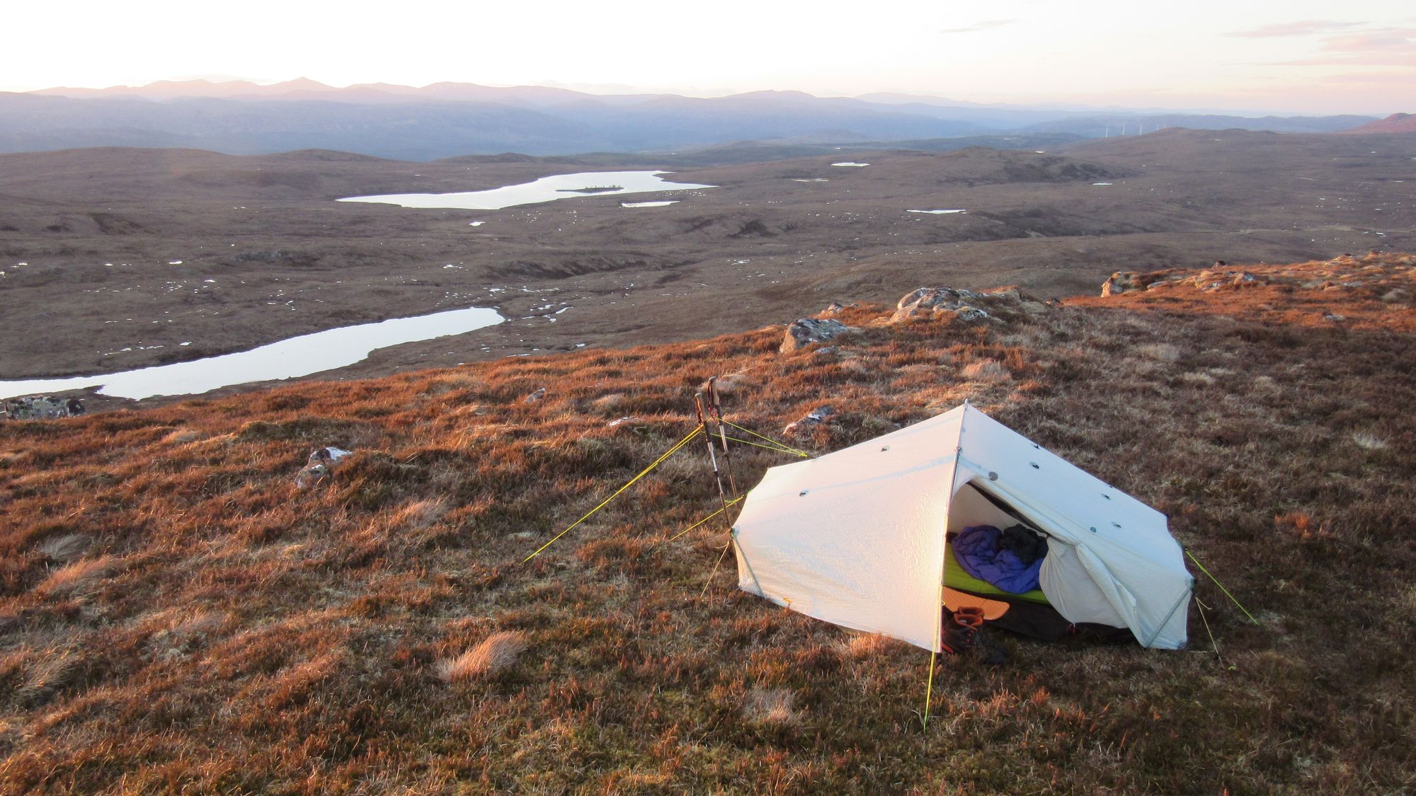
Camped on Carn Mhic an Toisich, second Graham of the trip..
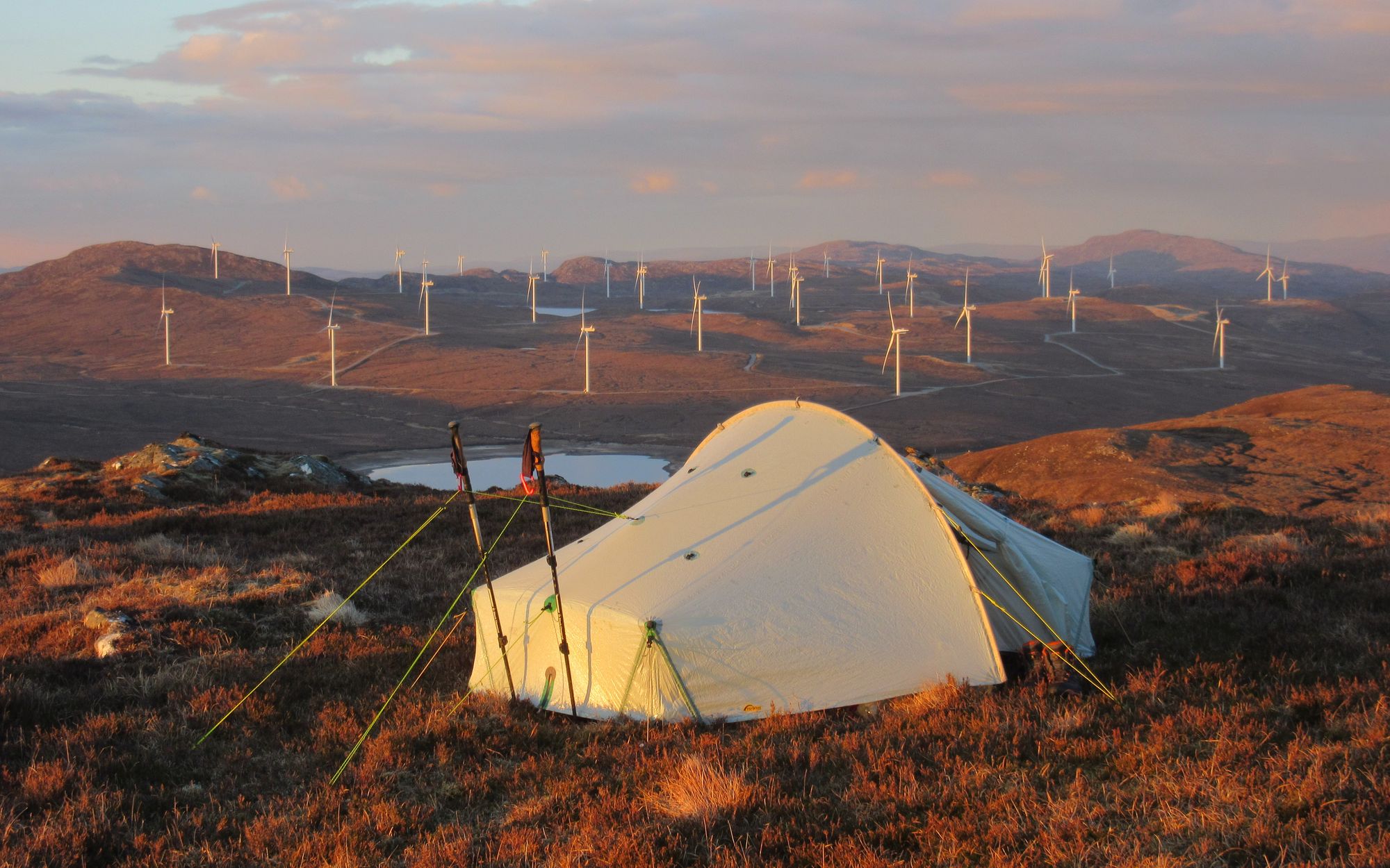
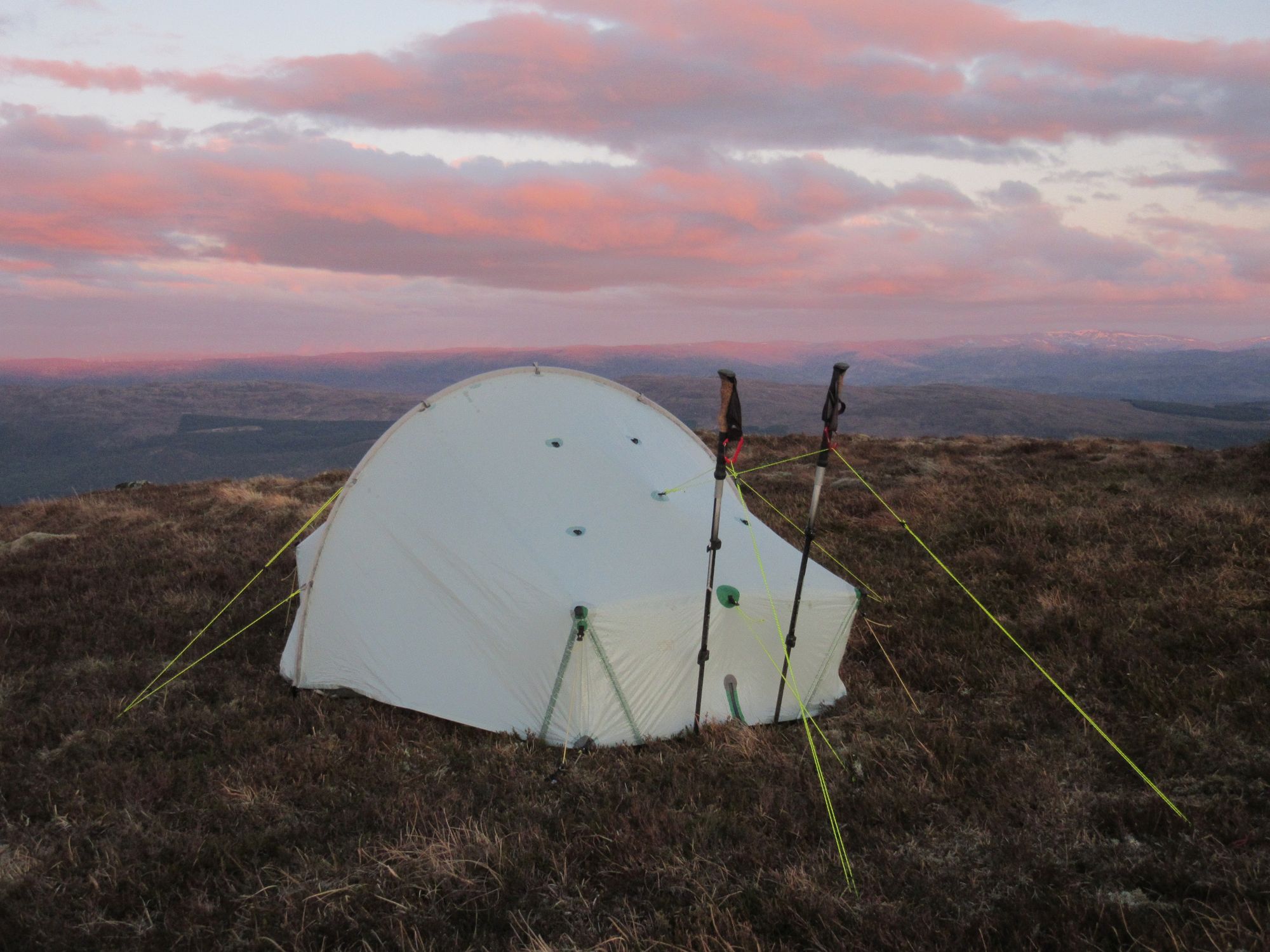
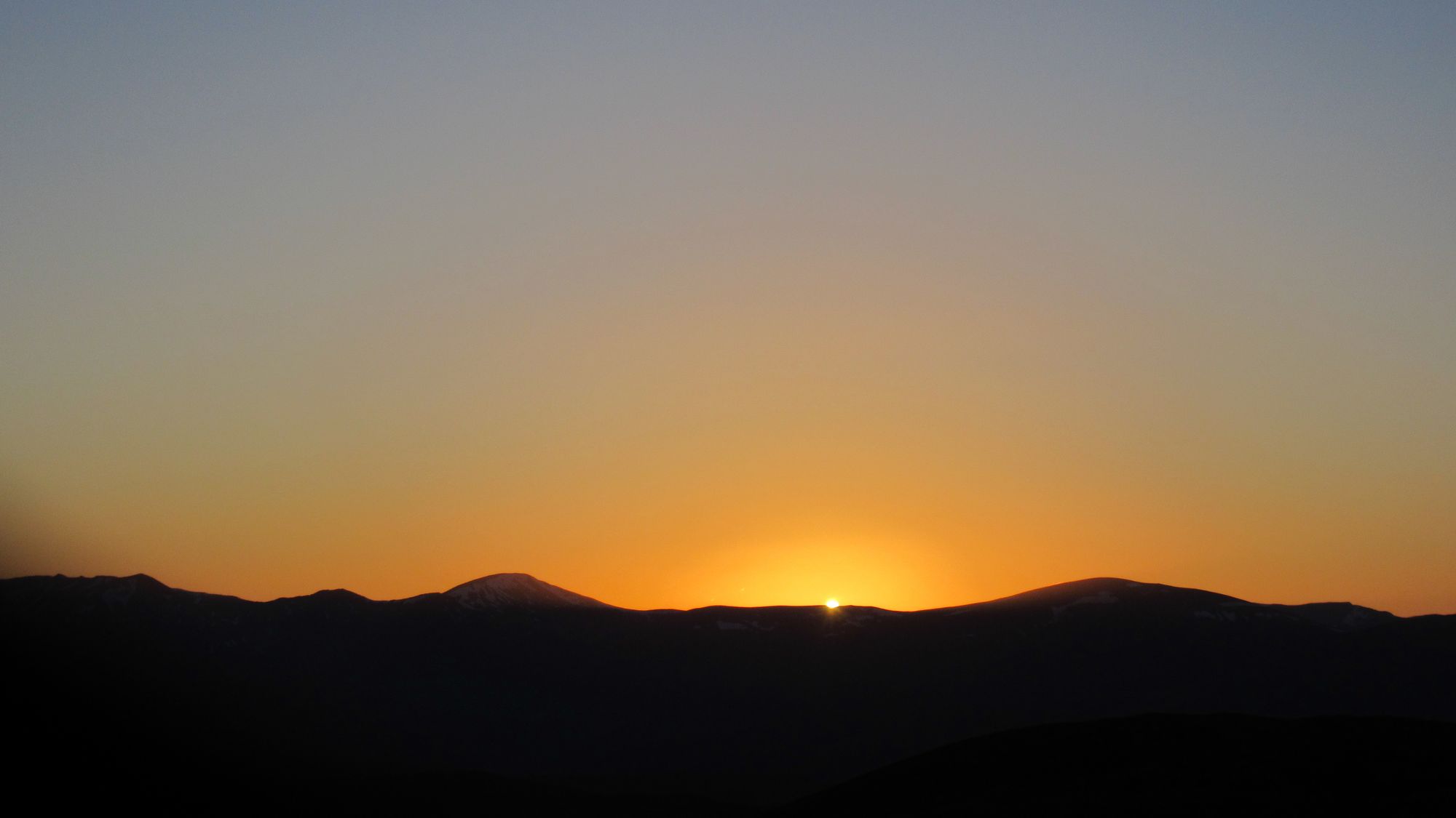
Dusk on Carn Mhic an Toisich.
Day 3: Carn Mhic an Toisich to NE of Glas-bheinn Mhor
Carn Mhic an Toisich - Loch Liath - Meall a’Chrathaich (G;679m;#3) - Meall a’Chrathaich – Carn Tarsuinn – Carn na Fiacail – Glas-bheinn Mhor (G;651m;#4) – Allt Glas Mhor
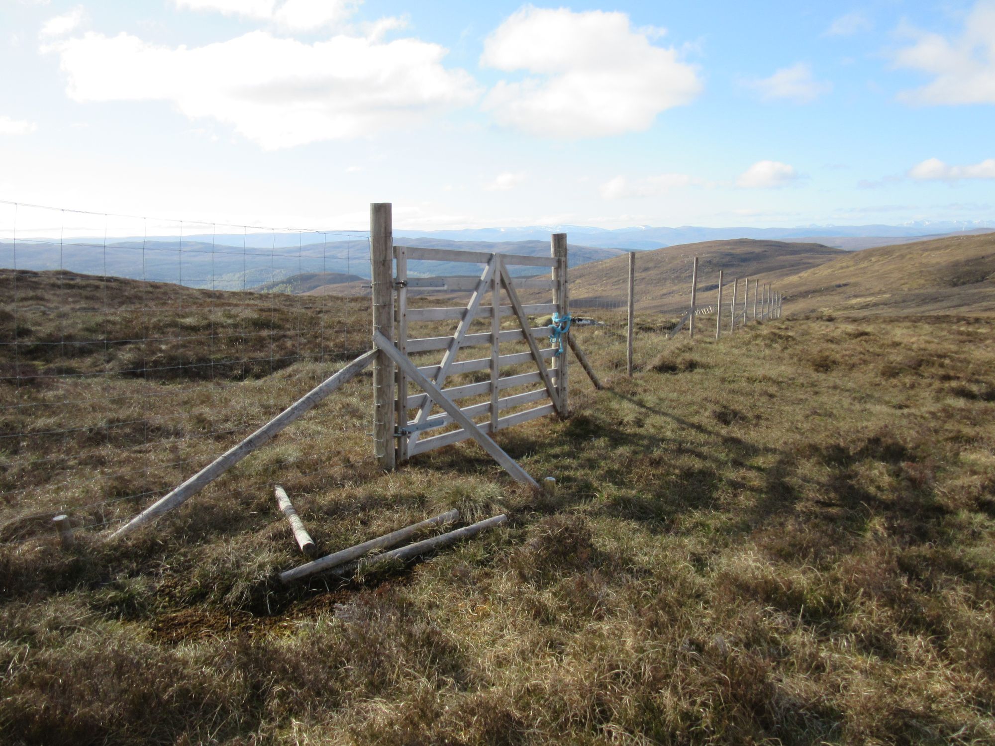
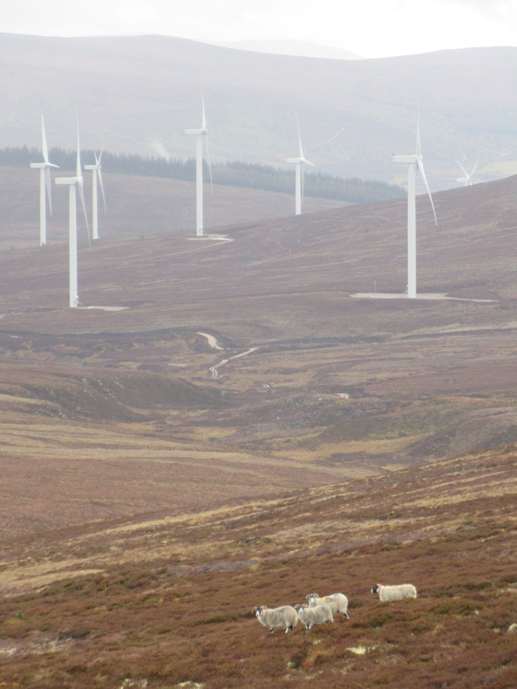
It had been cold enough for a bit of ice to form on the boggy patches on the summit, and the wind was bitingly cold. I came off the hill down through a fenced-off forest regeneration project - fortunately a gate and a ladder stile meant no fence climbing needed - and passed below the Loch Liath dam and onto a network of windfarm tracks taking me up to high on the slopes of Meall a’Chrathaich. Even from that hill's summit trig point the highest wind turbines' blades still reached well above me.
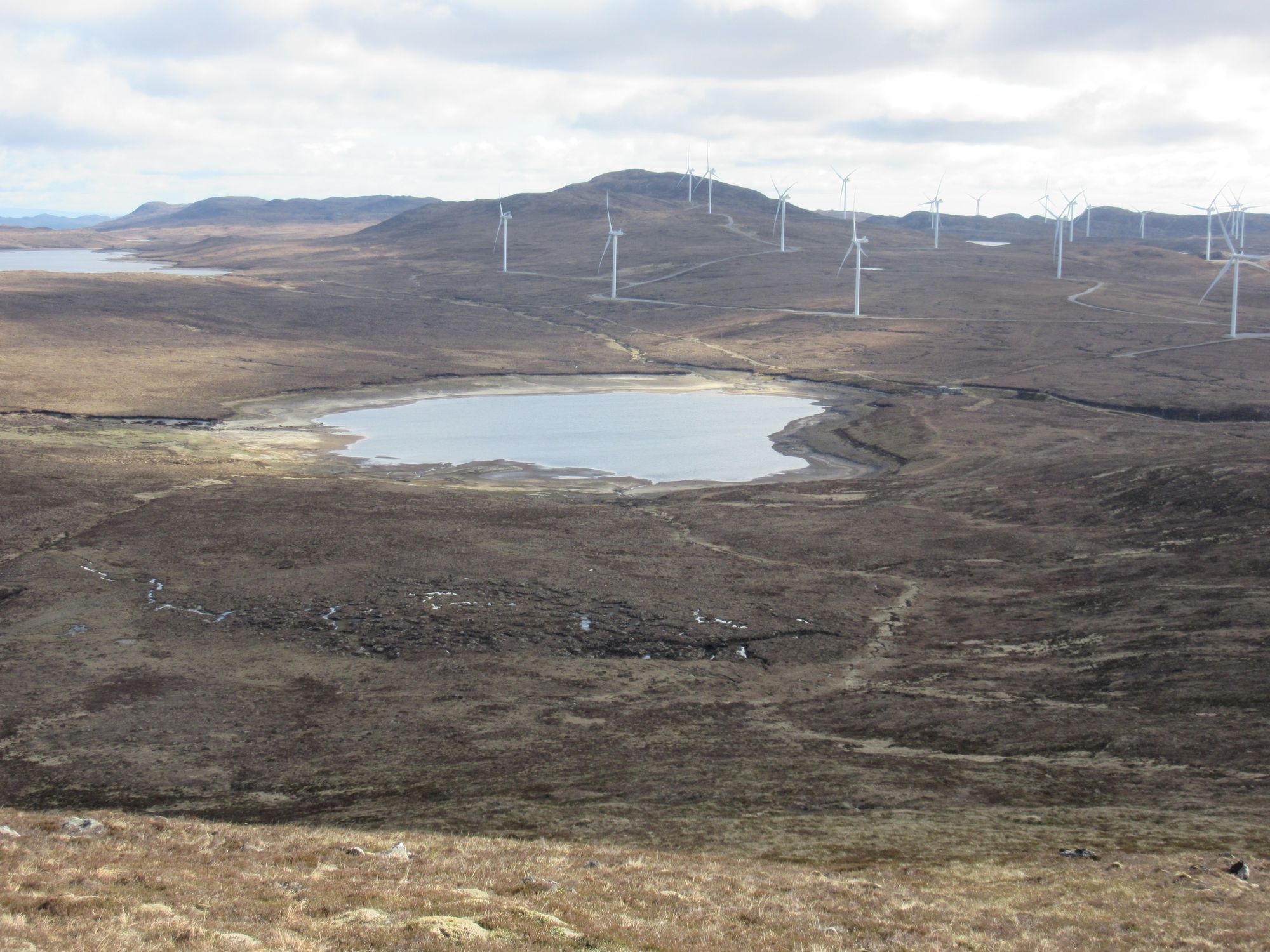
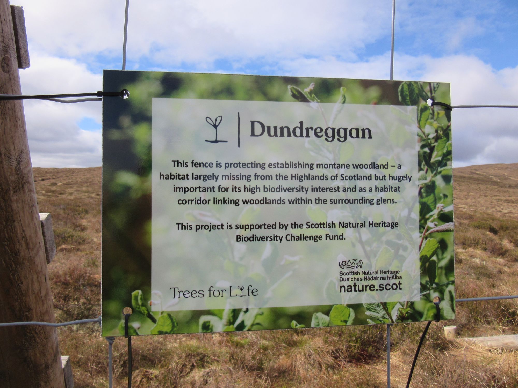
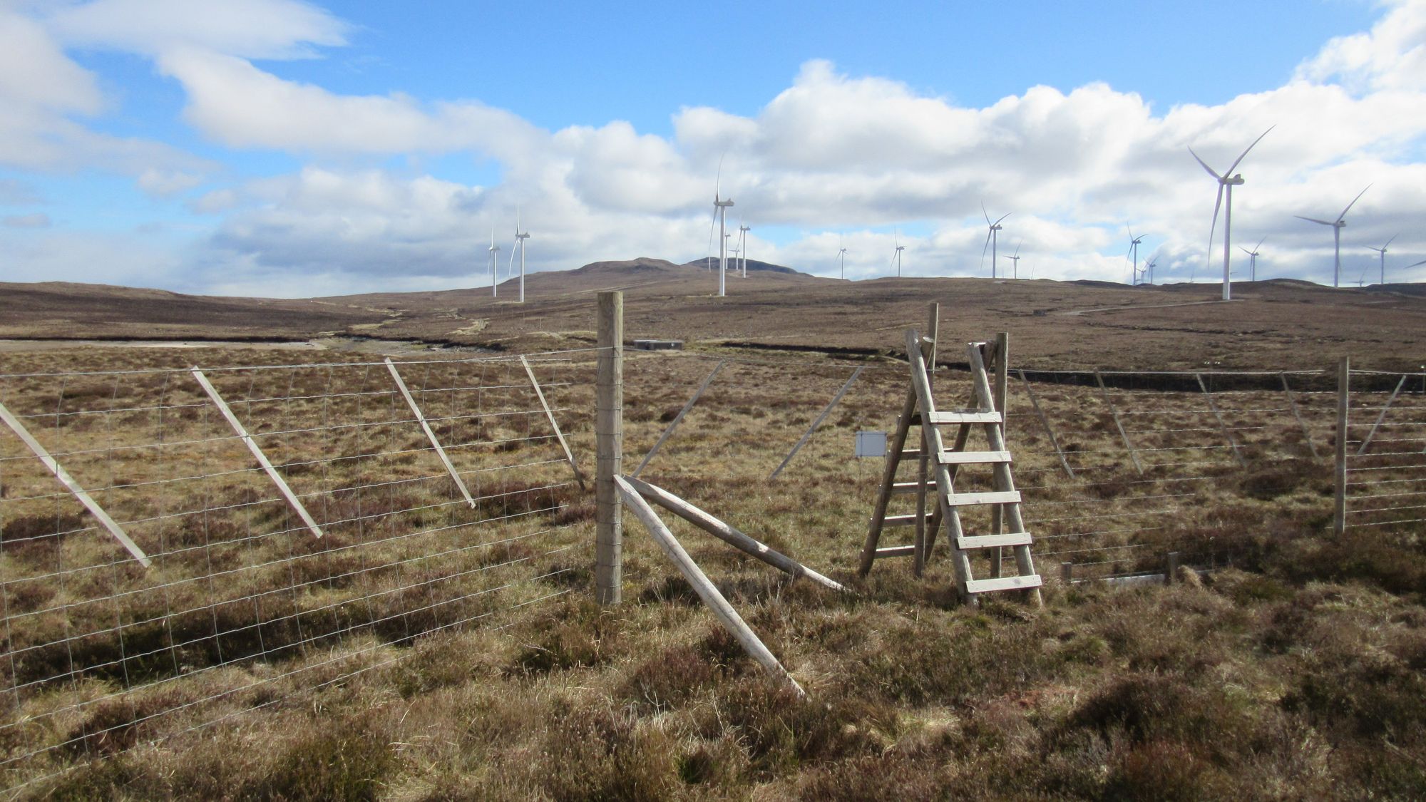
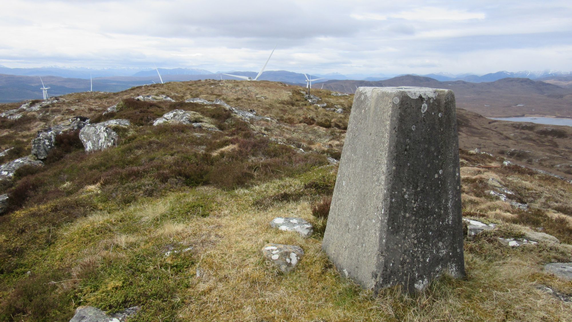
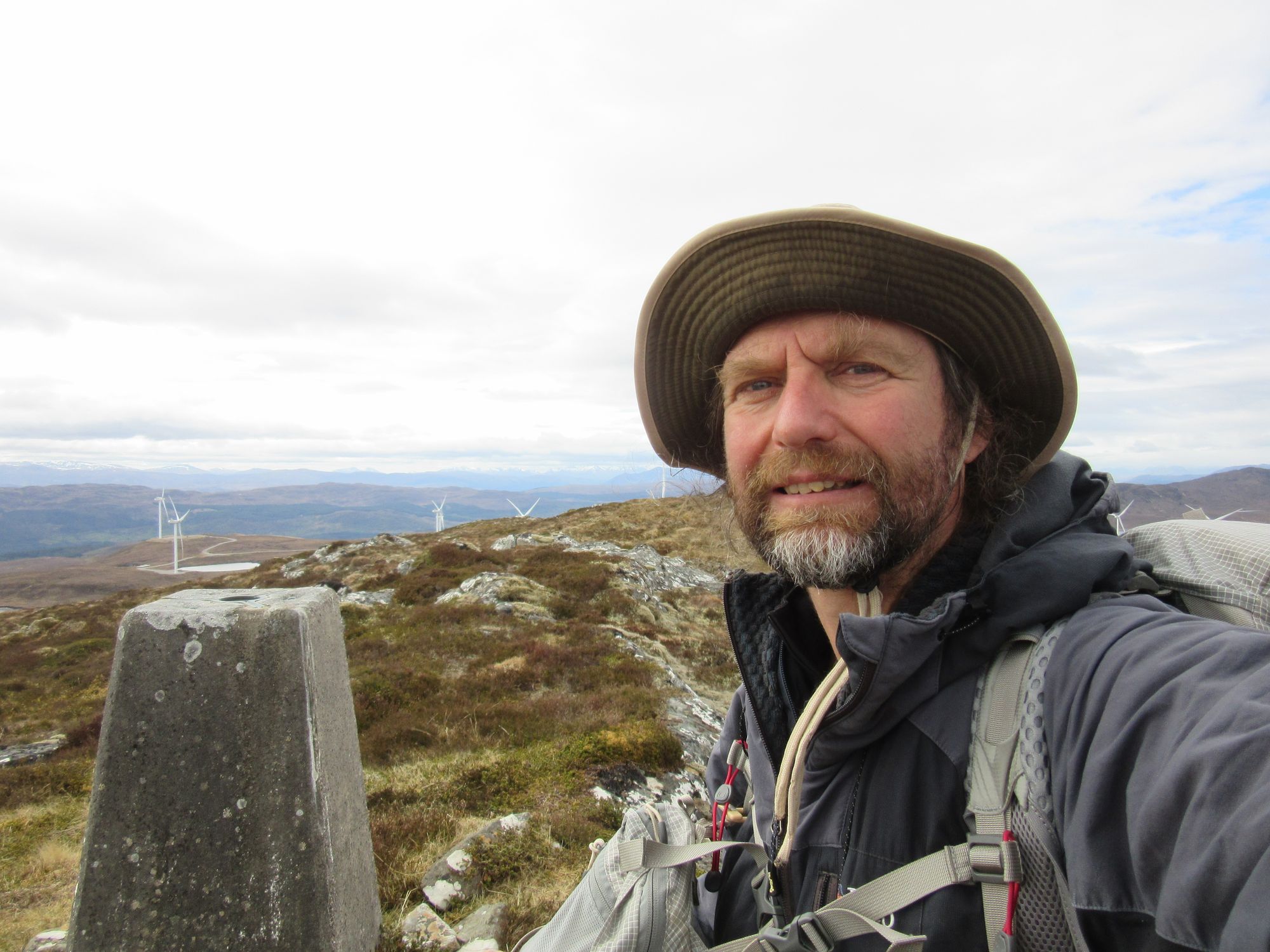
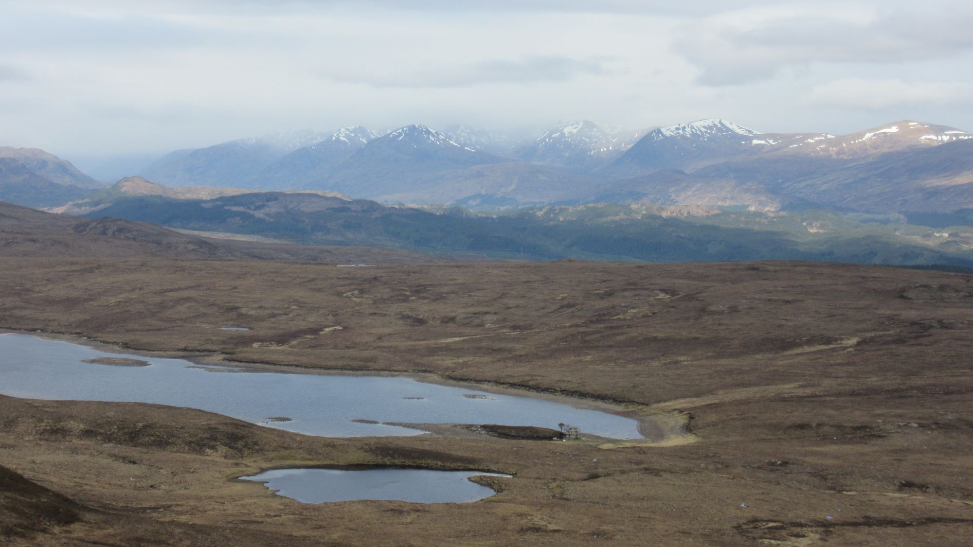
Carn Mhic an Toisich to Meall a’Chrathaich.
From there, it was a long section of rough, lumpy but interesting ground to the next hill. I sometimes followed contouring deer tracks, sometimes went over things. Despite the number of lochs in the area it seemed surprisingly dry underfoot; an experience I subsequently learned had apparently not been shared by other TGOCers who'd taken a lower-level route though this area.
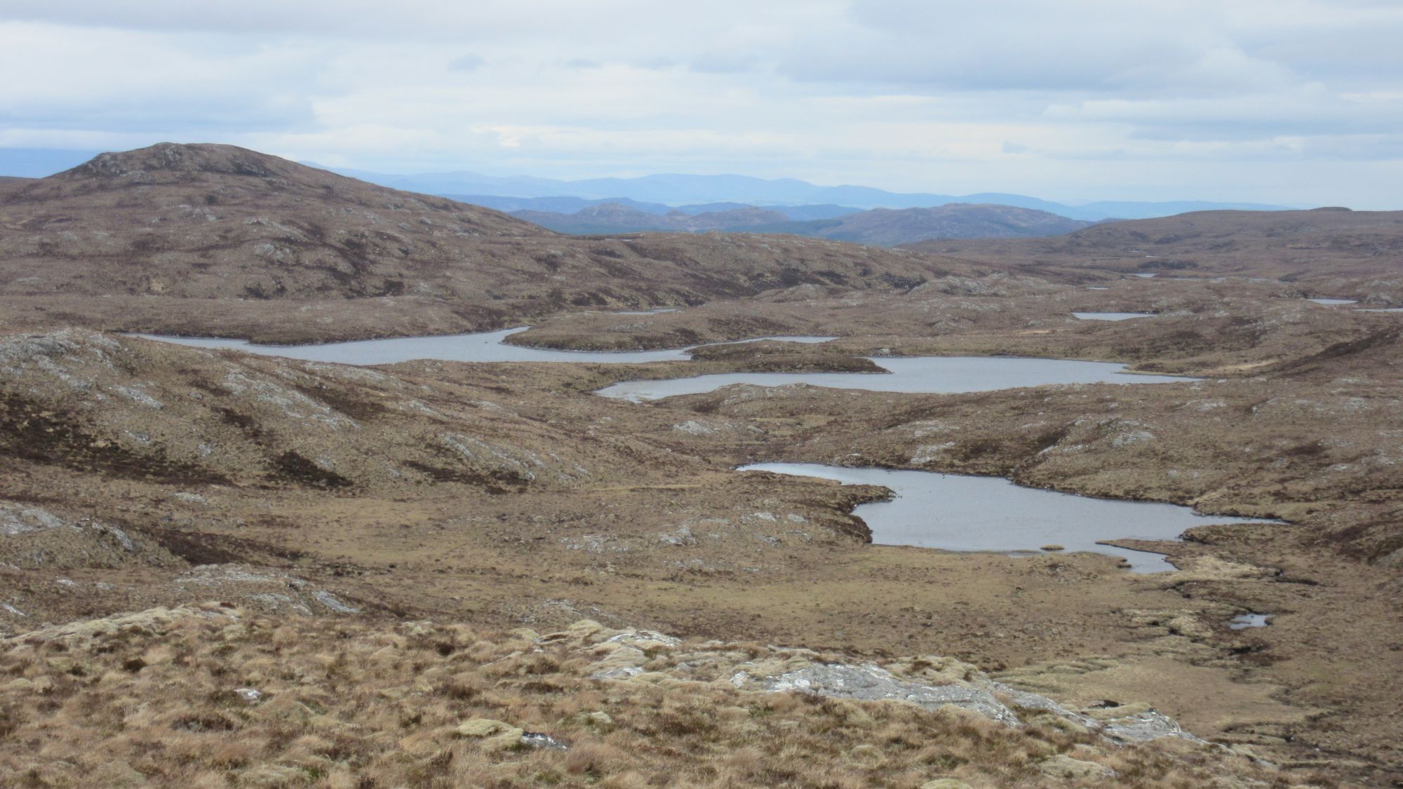
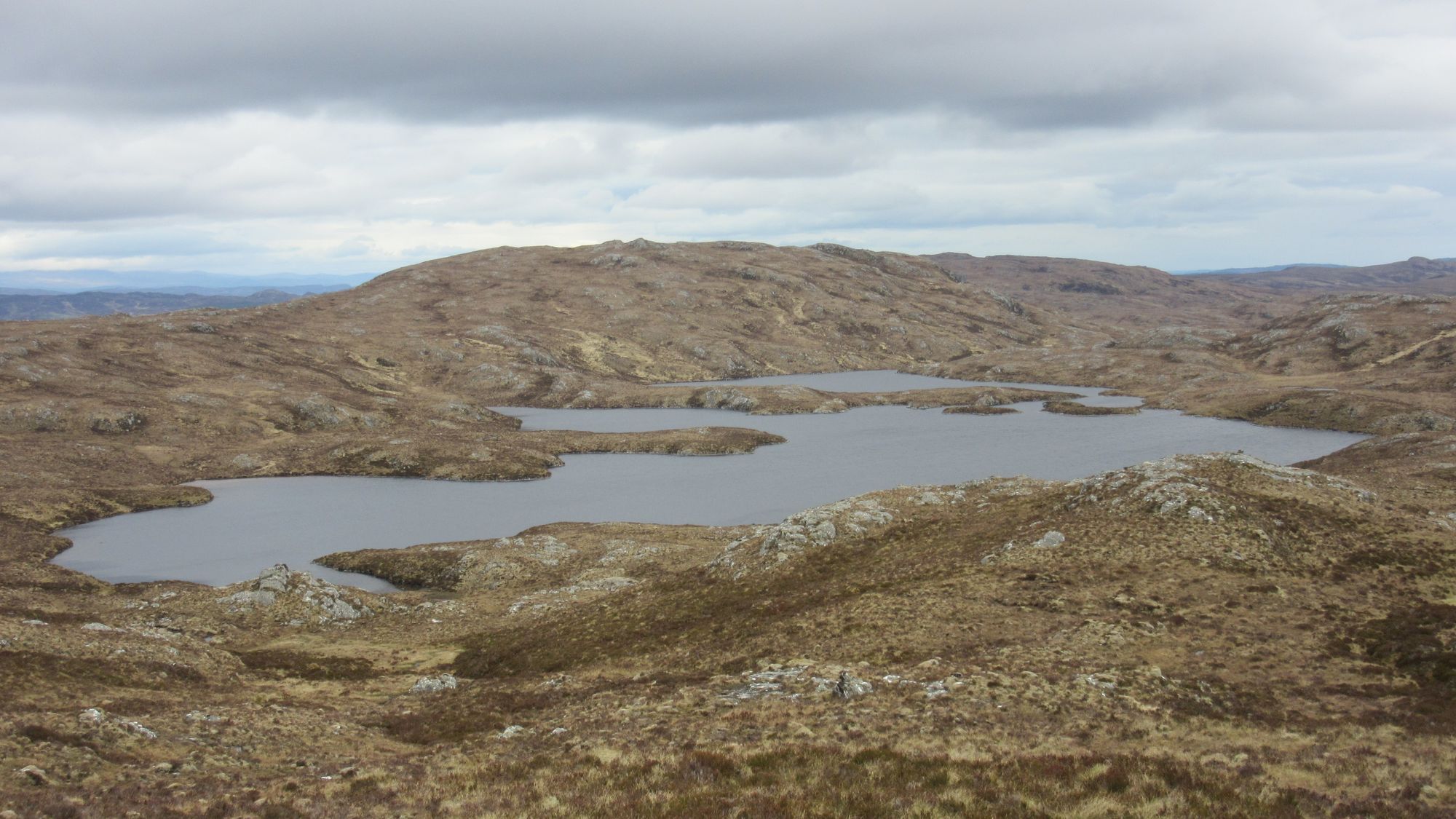
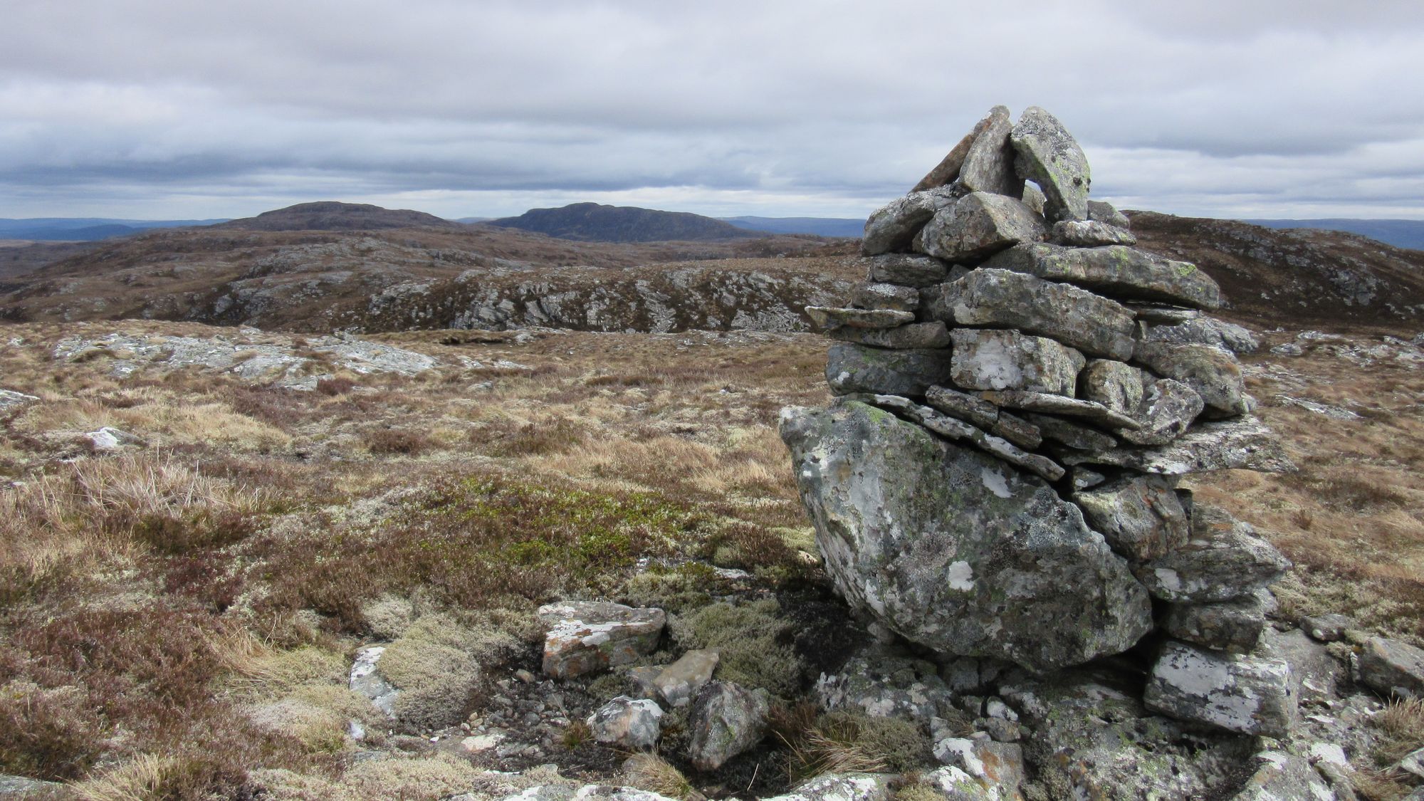
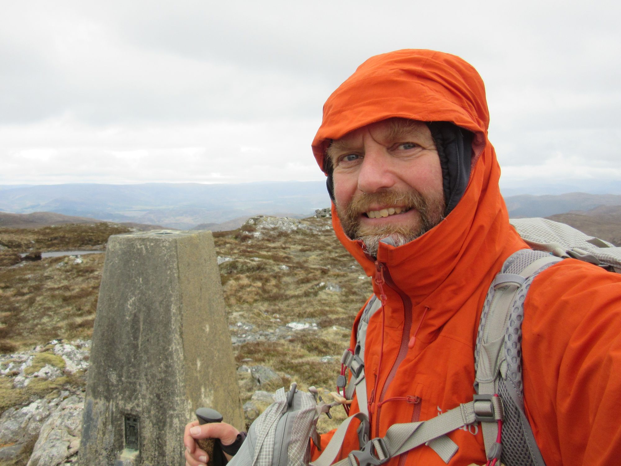
Meall a’Chrathaich to Glas-bheinn Mhor.
The rain started up as I approached Glas-bheinn Mhor, and it was too windy on top (and with no improvement forecast until the next day) to consider another summit camp. To the north east I could see a useful looking meadow on lower ground around the Allt Glas Mhor, so I descended to that - chasing some deer off it - and made a camp. It was a cold night again, with near continuous rain.
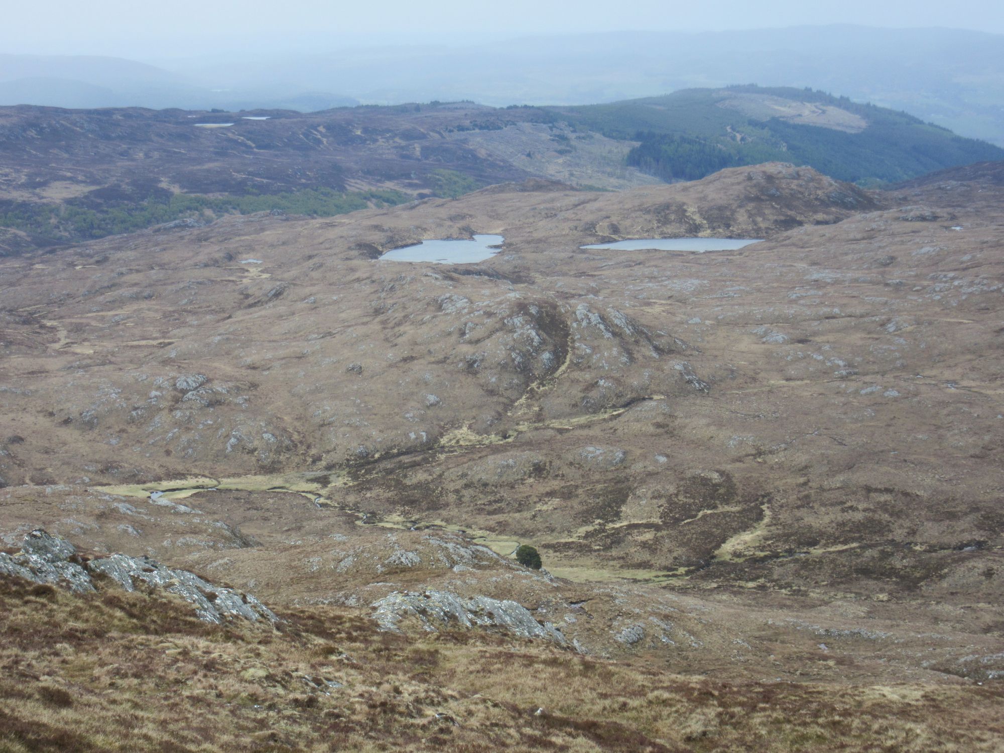
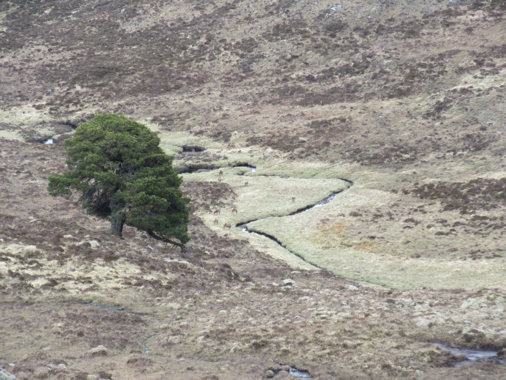
Down to camp below Glas-bheinn Mhor.
Day 4: Allt Glas Mhor to Drumnadrochit
Allt Glas Mhor - Glas-bheinn Beag - Loch Dubh - Dhivach Lodge - Drumnadrochit
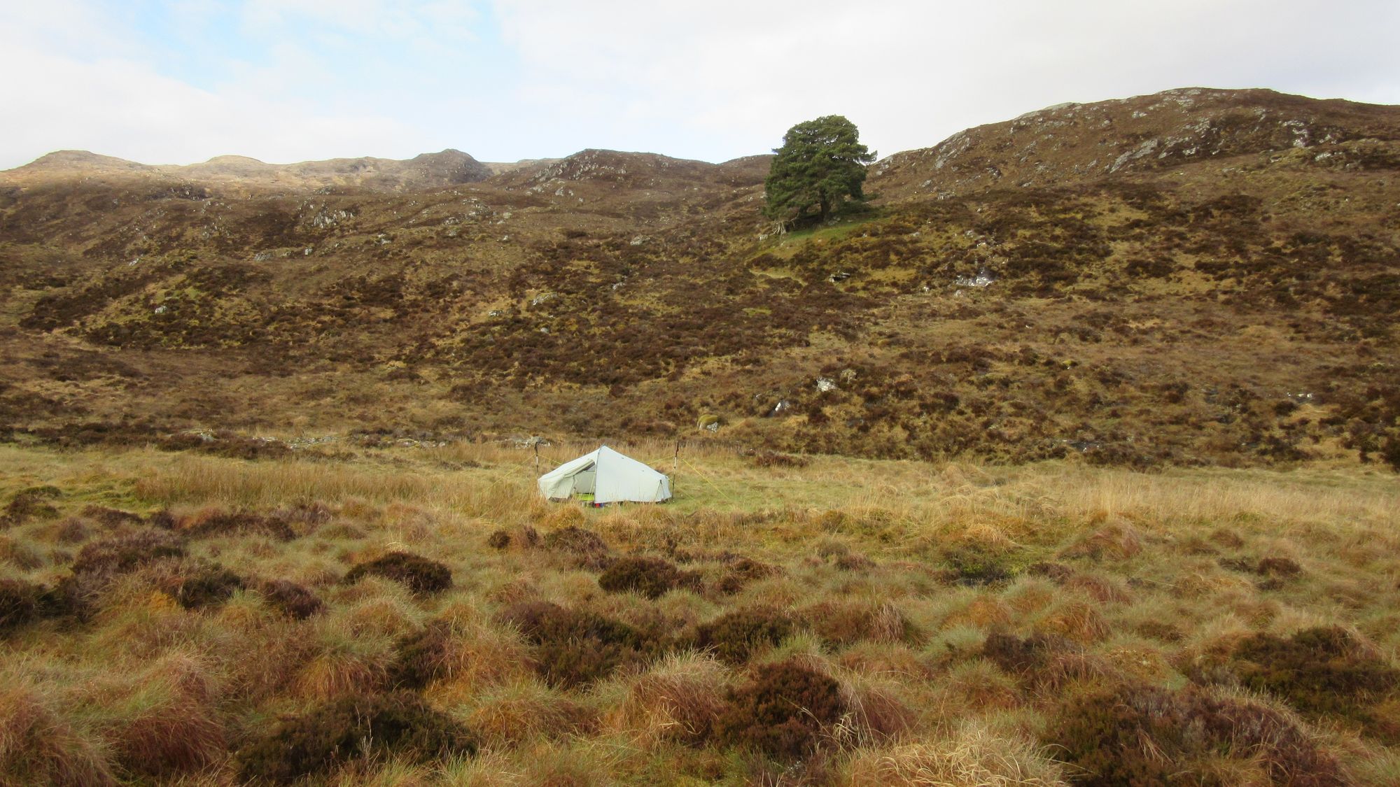
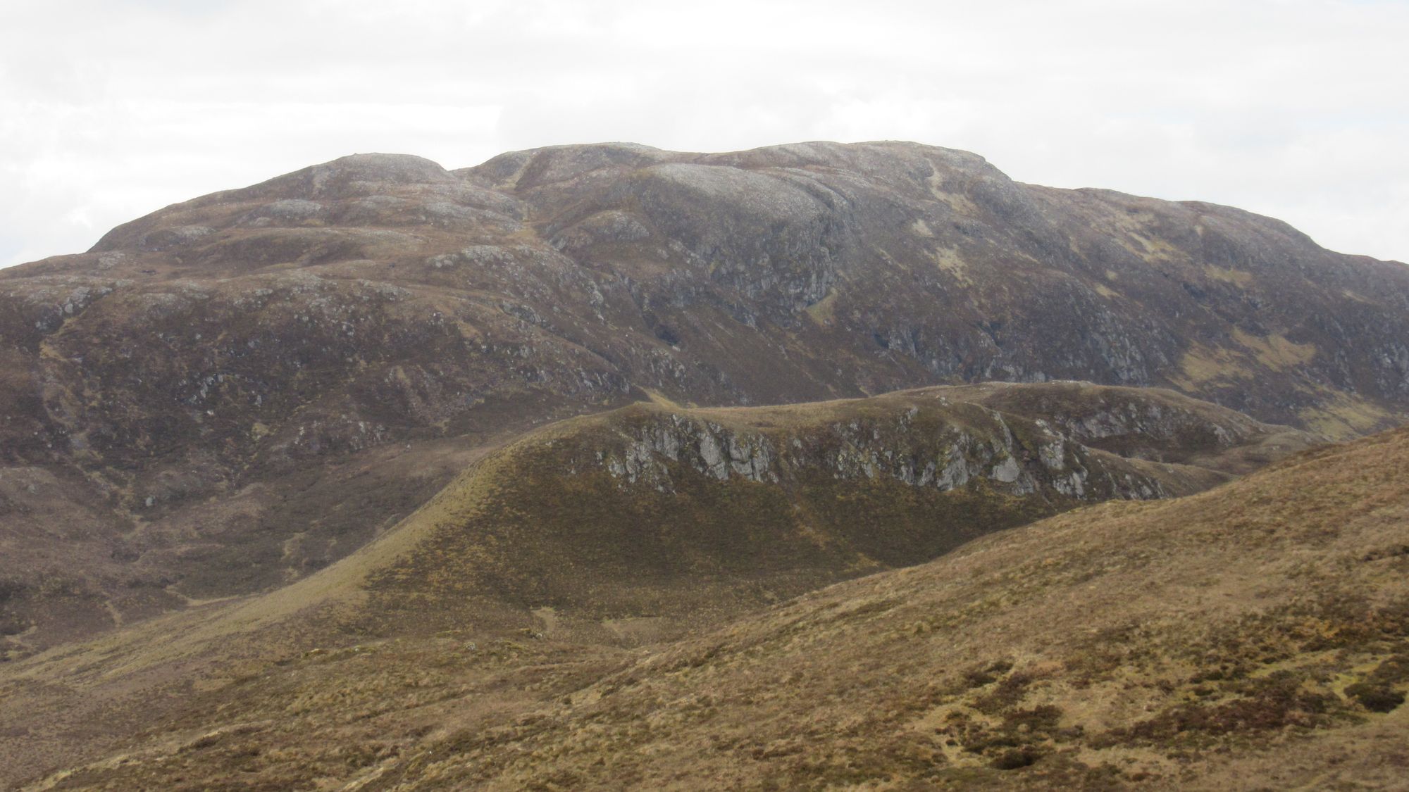
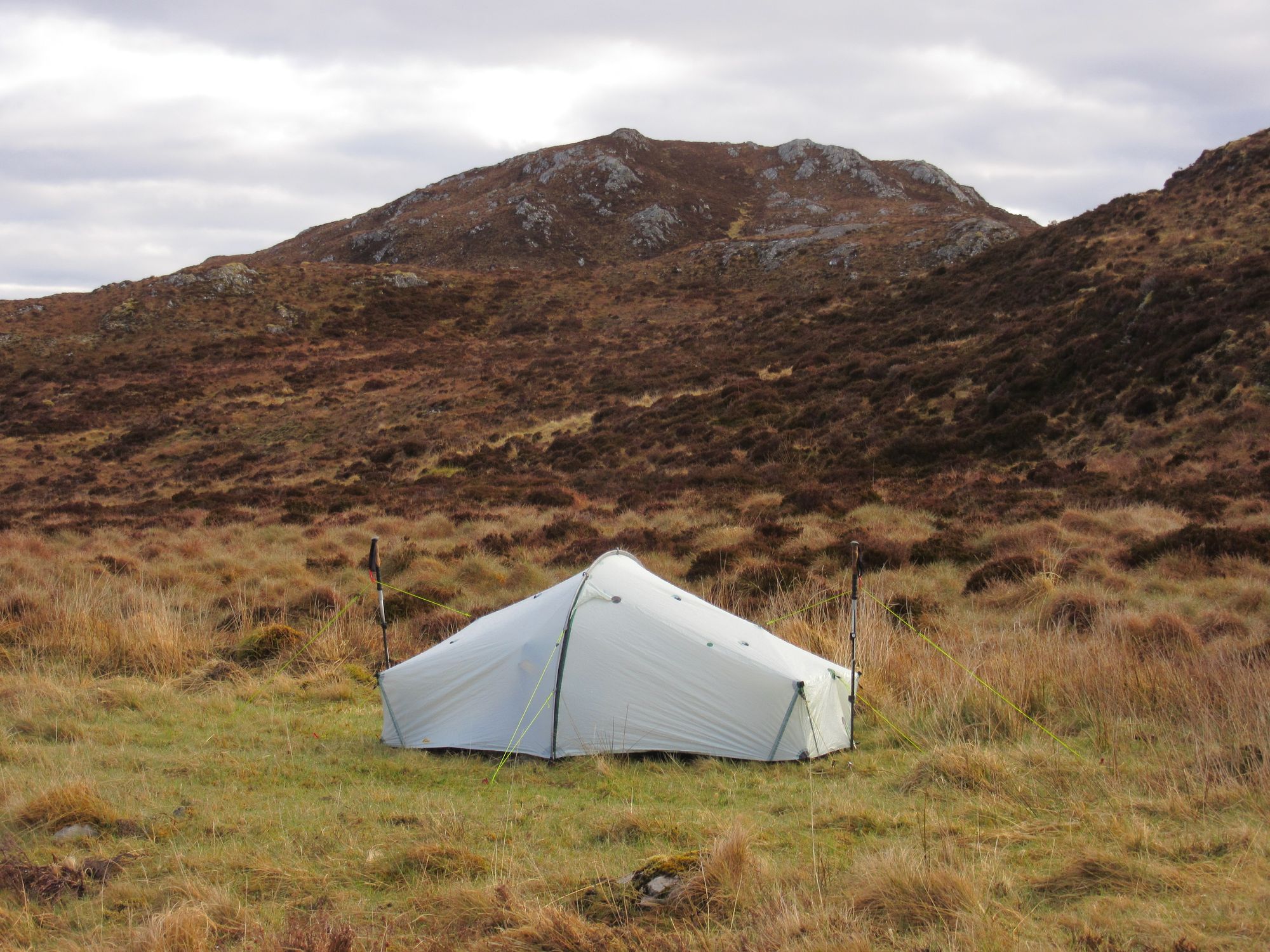
Below Glas-bheinn Mhor in the morning.
I packed up, shaking some frost off the tent, and headed over the remaining high ground. The neighbouring Graham of Meall Fuar-mhonaidh wasn't needed as it was the one hill in this area I had done previously. Picking up an ATV track at Loch Dubh led me down into Drumnadrochit nice and early; at this point I was still half a day ahead of my route sheet's schedule.
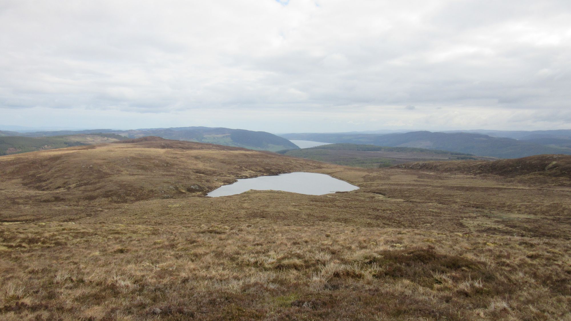
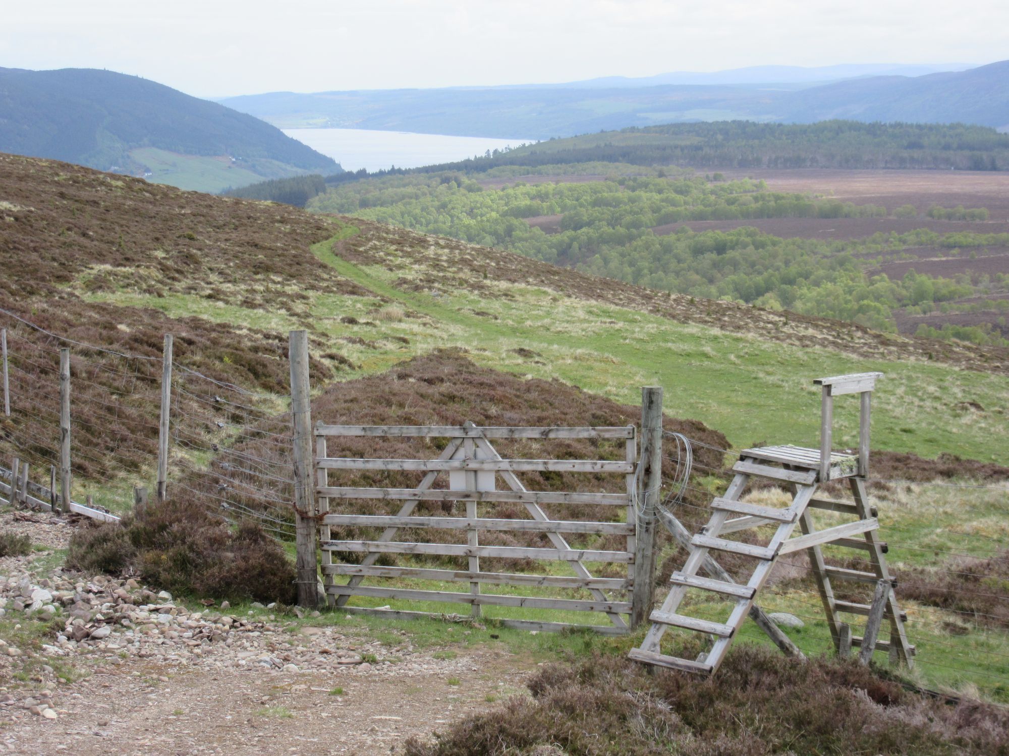
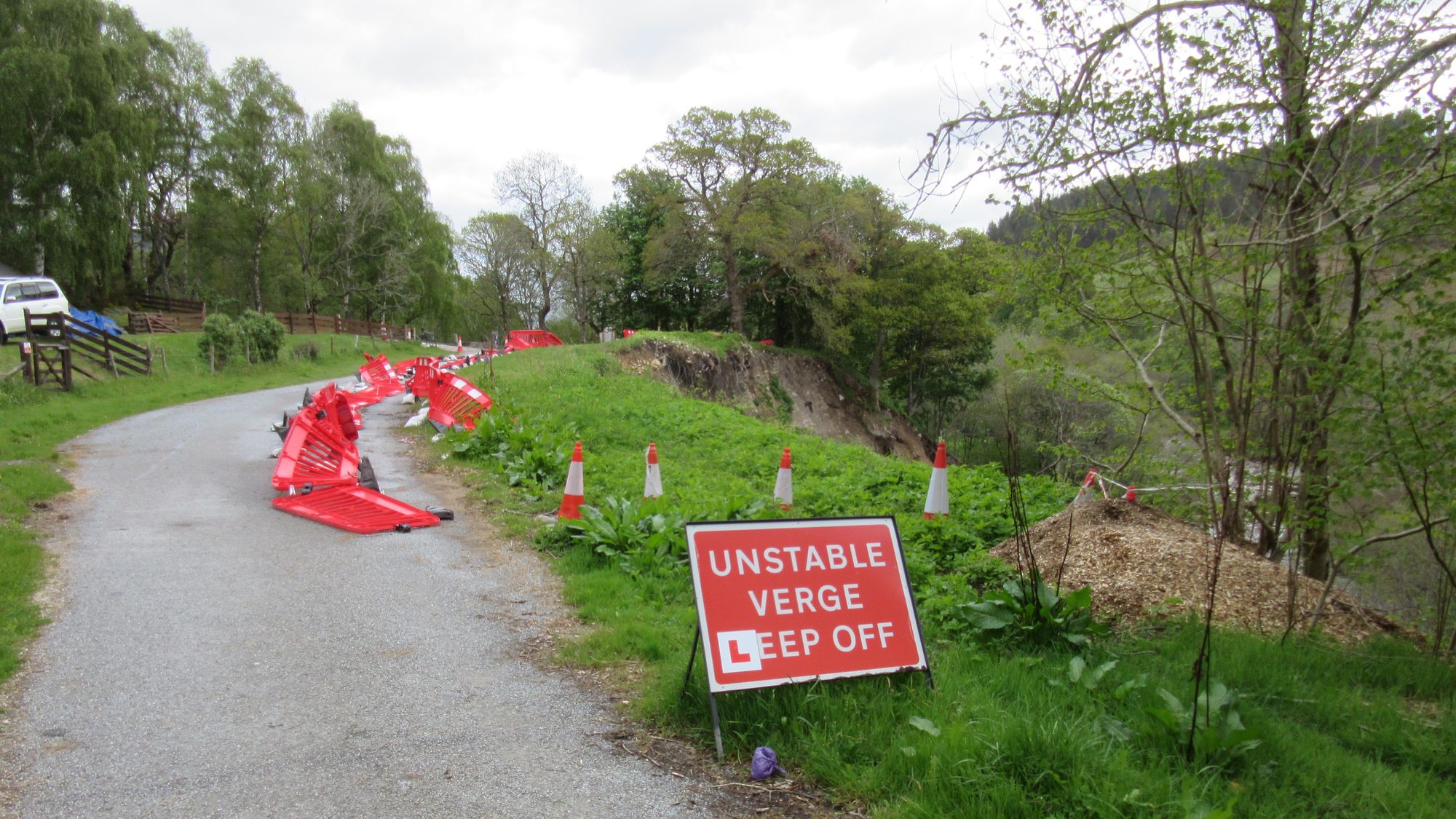
Down to Drumnadrochit. A road was closed due to a landslip, but it was still passable on foot.
I had a second breakfast (excellent) at "Cafe 82" and checked into my booked hotel as soon as I could at 14:00. I had a nice big room so I could do some laundry and spread it all along with my tent out to dry easily. I took stock of my remaining food and then did a shop at the Scotmid supermarket; I'd be three nights out again until the next re-supply opportunity at Grantown-on-Spey. This was also likely my only chance to properly recharge electronics, so everything was thoroughly topped-up.
Day 5: Drumnadrochit to above Loch Farr
Drumnadrochit - Temple Pier - (ferry) - Foyers Bay - Inverfarigaig - Torness - B851 - River Nairn (bridge) - north on B851 - Loch Farr
I was up at 6am to pack up (and roll up my now nice and dry tent), and converged with a stream of other TGOCers heading westwards out of town to the pier for the ferry the TGOC organisers had arranged for getting Challengers across Loch Ness.
There were two boats going: a fast rib taking around 6 people seemed the popular option, but I didn't fancy getting cold and wet so went for the slower boat carrying about 12 of us. Disembarking on the other side at Foyers Bay it was tempting to stop for coffee and cake... but I had a long day ahead - partly due to having planned my route on the basis that the pier further north at Inverfarigaig would still be being used - and headed off immediately, soon catching up with another 3 TGOCers who'd also been inclined to get moving.
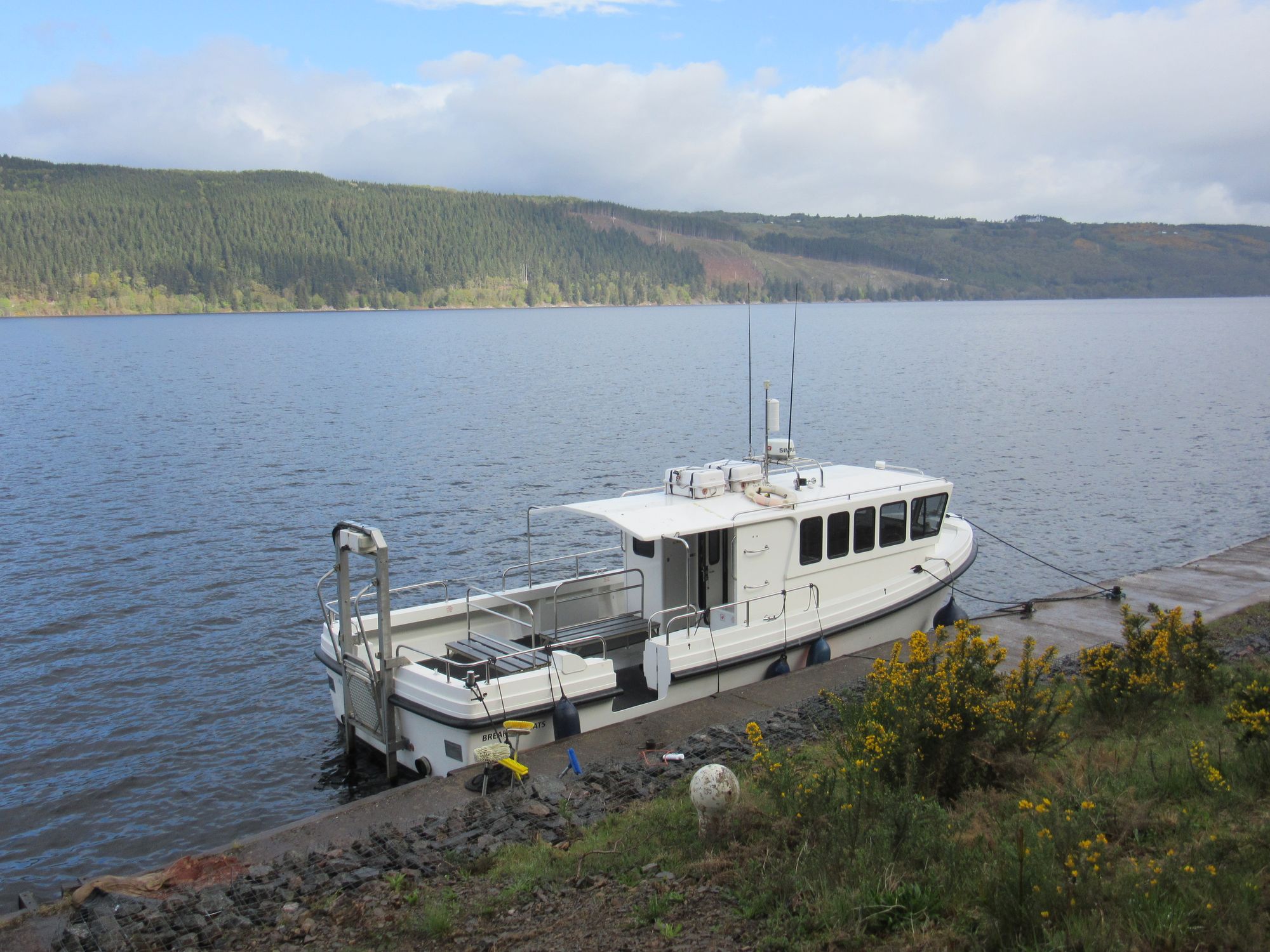
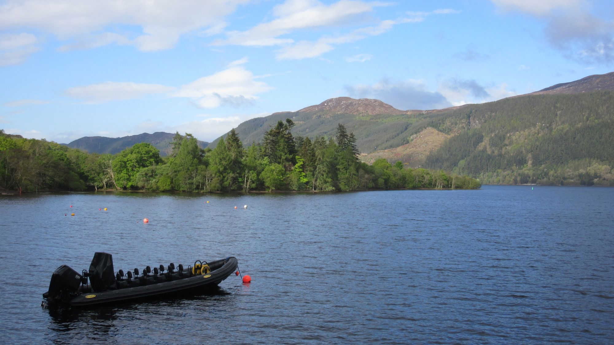
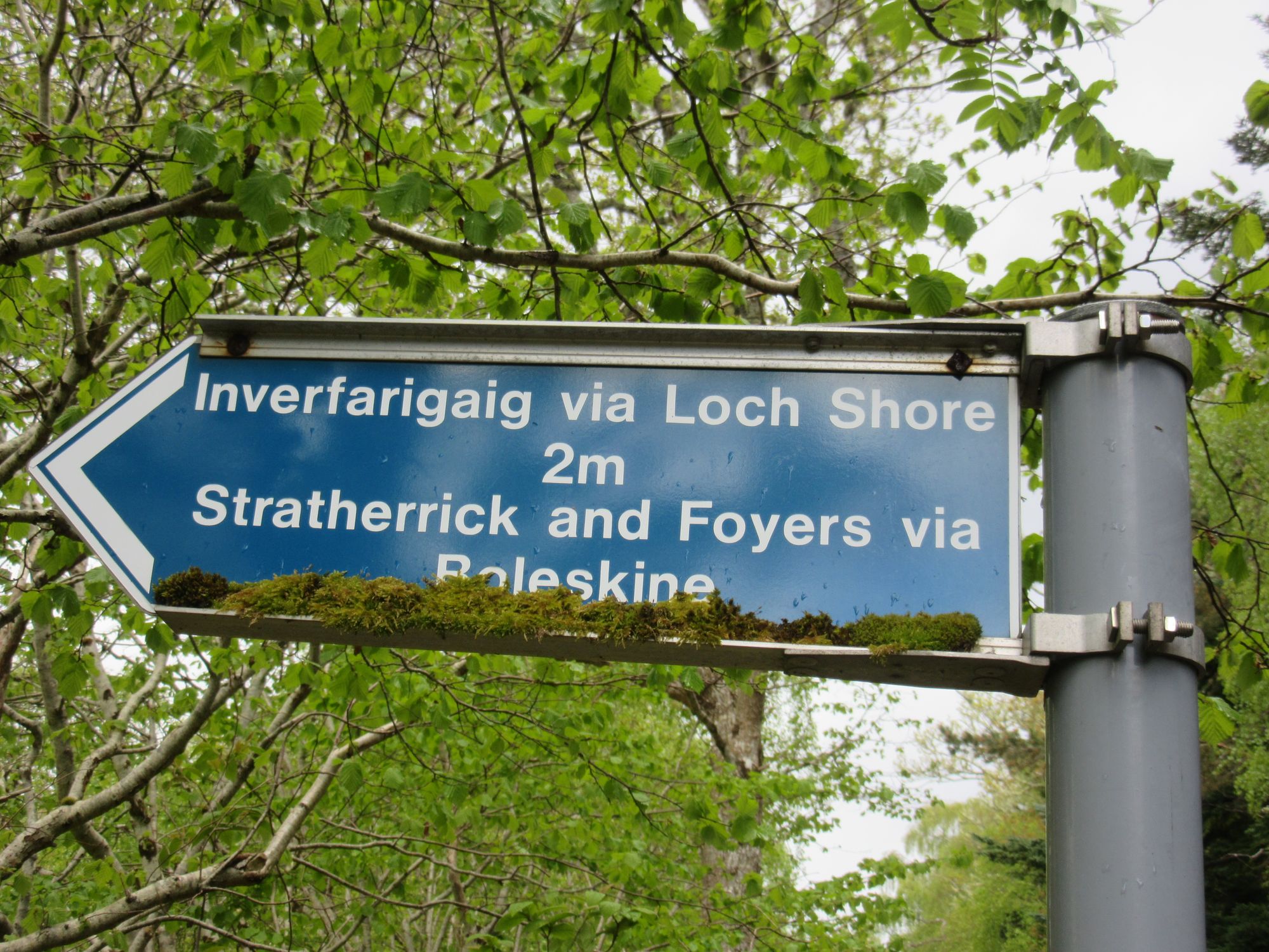
Disembarked at Foyers Bay.
Rain gear was repeatedly on and off with heavy showers alternating with bright sunshine; we eventually settled on leaving waterproof trousers on and just removing jackets to stay cool. One-by-one our routes diverged and we each headed off in different directions... although I did later meet one chap again who'd been around the north side of Loch Ruthven while I'd gone south of it.
The plan for my main route here had been to go eastwards over the high ground from where the B851 crosses the River Nairn, ideally with a summit camp on Carn na Saobhaidh. But with high winds forecast to continue that wasn't particularly appealing (and there were no "hill bagging" list-ticks for me to be had up there) so for the second time on this trip I switched to the FWA and continued northwards on the B851.
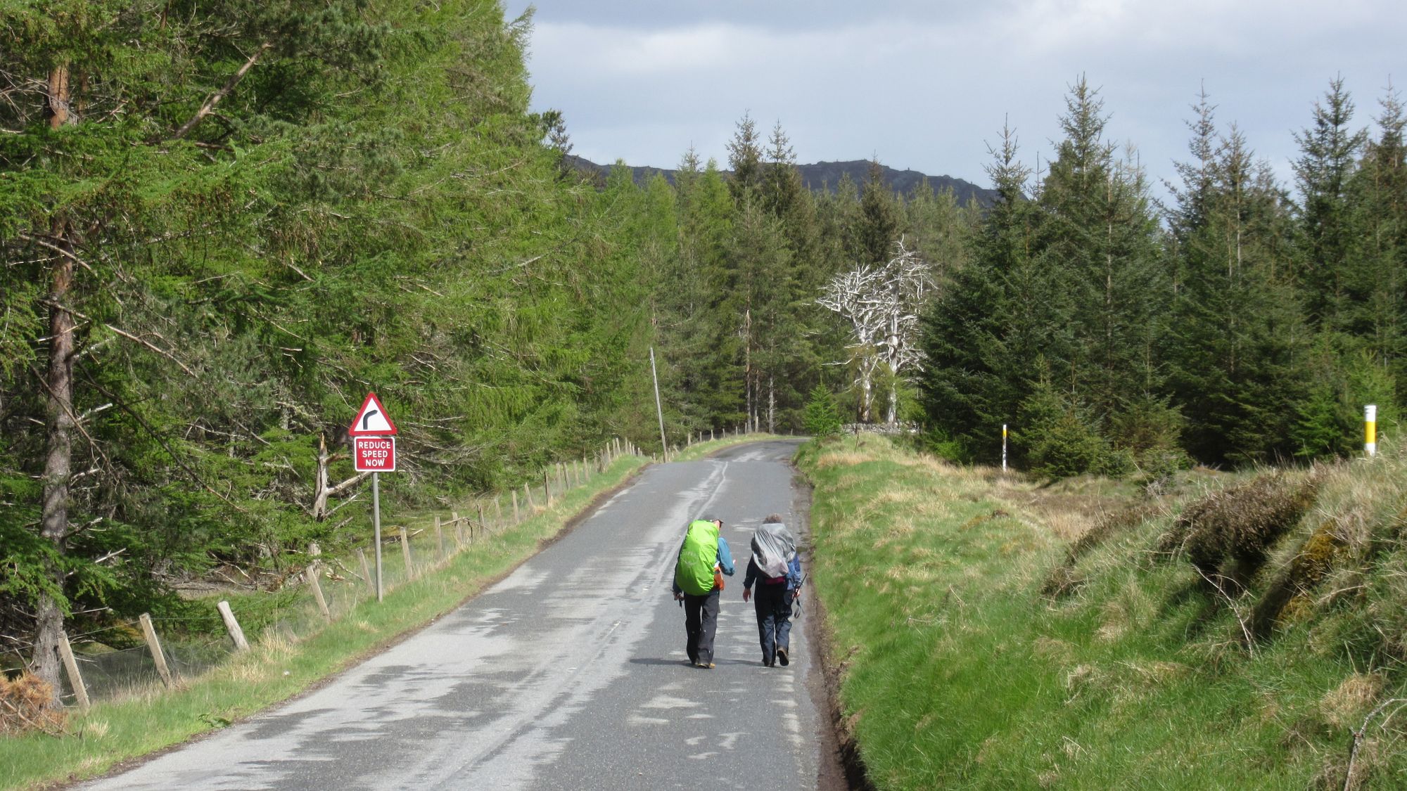
Quite a lot of road walking today.
The FWA plan had me sticking to the road as far as Woodside and a junction with another road leading east to Loch Farr. But a little north of Drumlea I decided to try and take a shortcut across through woodland; this turned out not to be ideal as an initially promising track ran into a felled area and the track turned into a swamp. A fence climb was at least avoided thanks to a useful hole. The area around Loch Farr turned out to be a rhododendron swamp and the most promising spot I thought I'd identified on geograph was now a fenced off area with a sauna for "events". The area around the ruined boat house might have worked, but being near the road it wasn't clean.
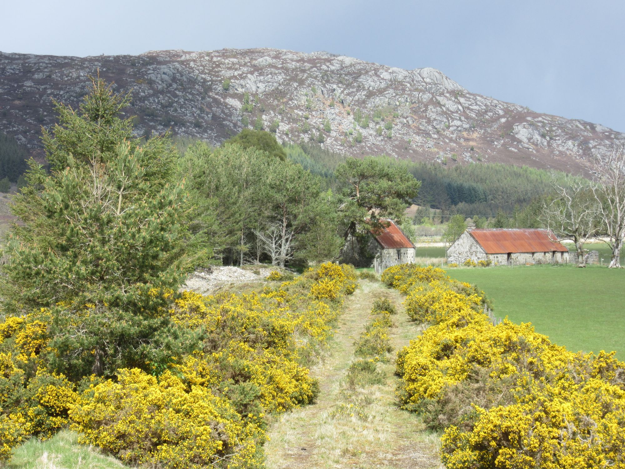
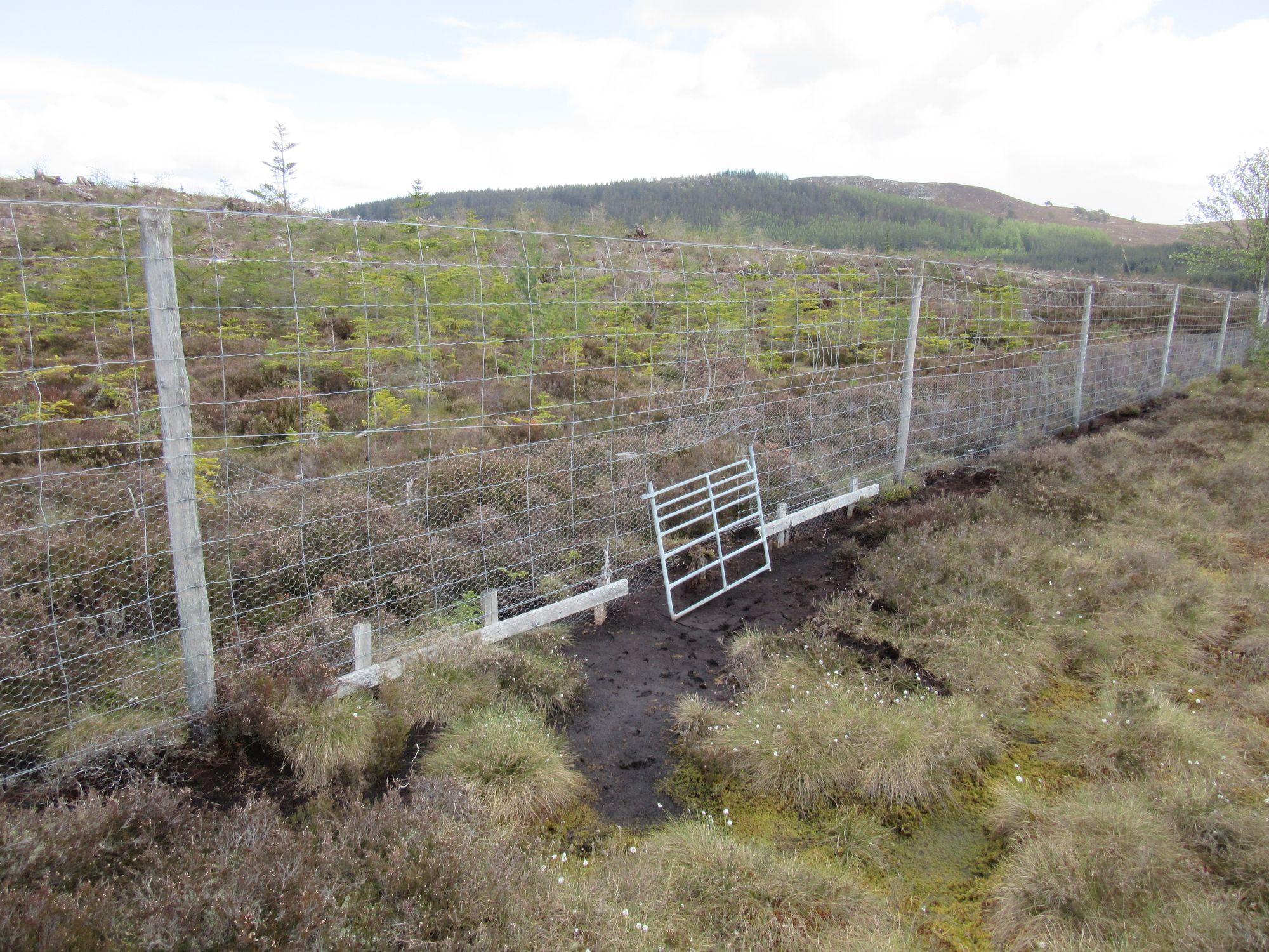
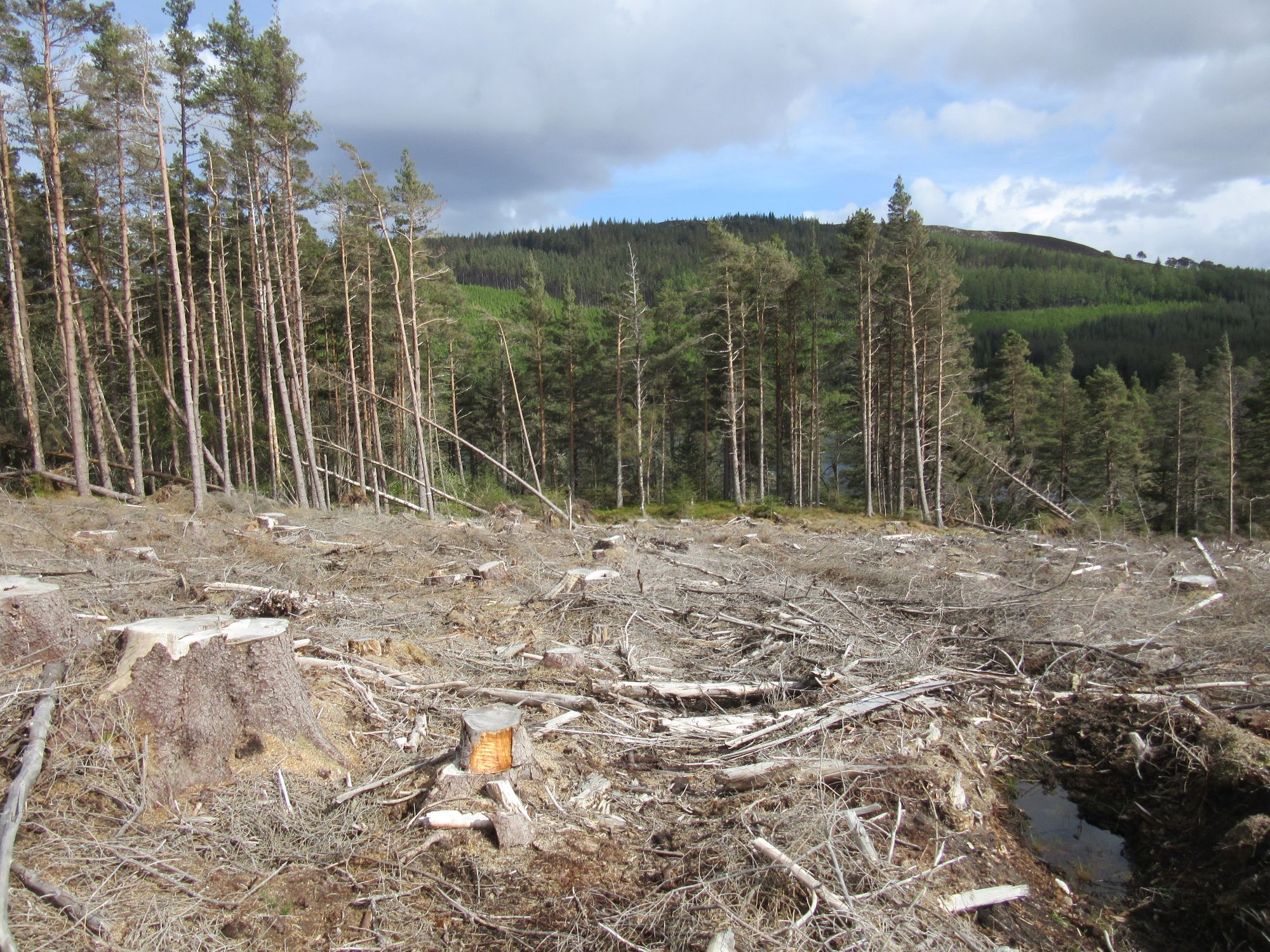
On the way to Loch Farr.
So I headed off along the road and up the hill, turning off to explore along the forest track running across the slopes above the loch. This turned out to have a couple of acceptable flat pitches along it. The mess around the old boat house had put me off drawing any water from the loch, but I was able to find some following the track (then path) south to where it crossed a small burn, before returning to a pitchable spot.
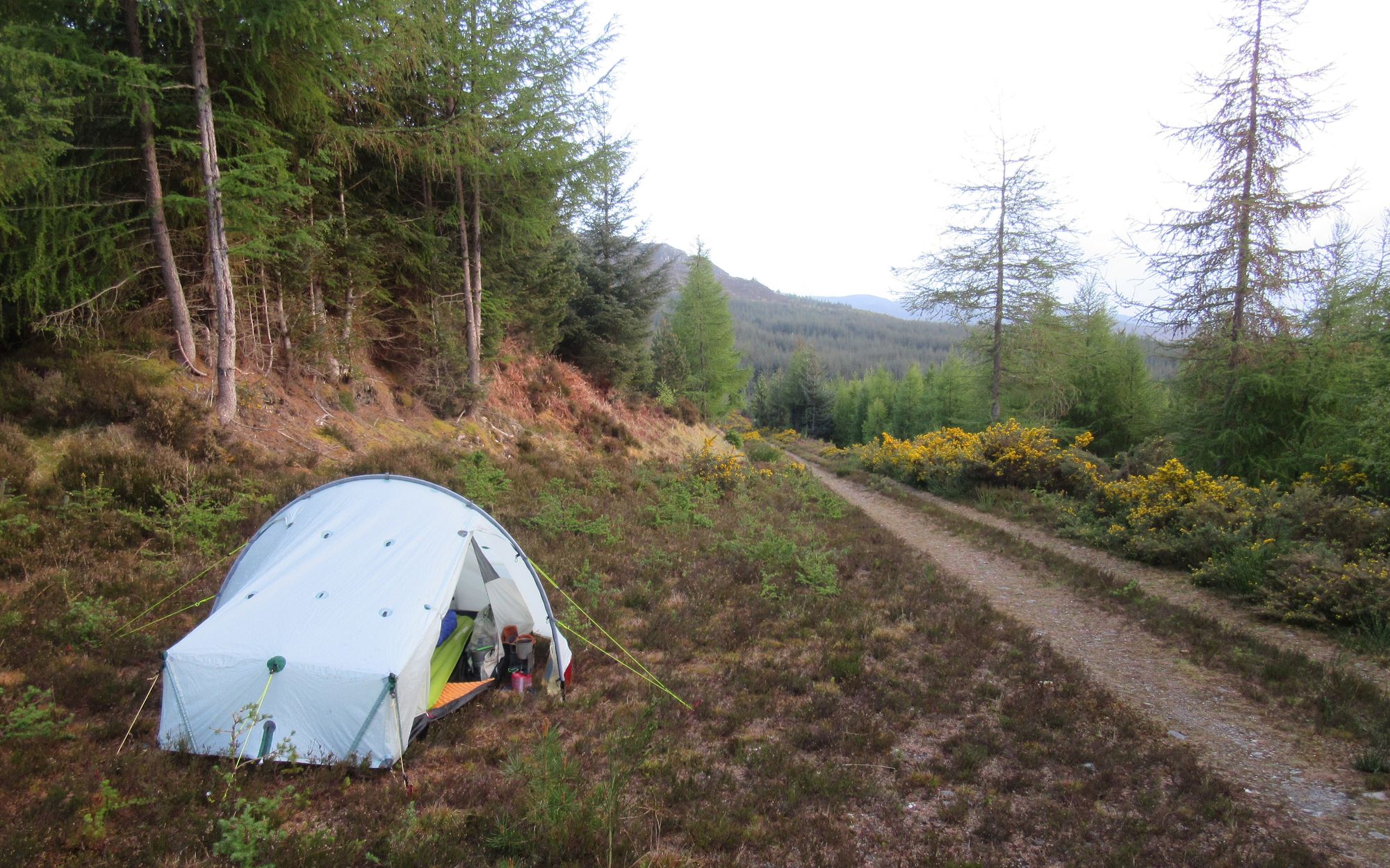
Day 6: Above Loch Farr to Moy Windfarm
Loch Farr - SE on minor road - windfarm tracks – Carn na h-Easgainn (G;616m;#5) – Moy – Moy windfarm
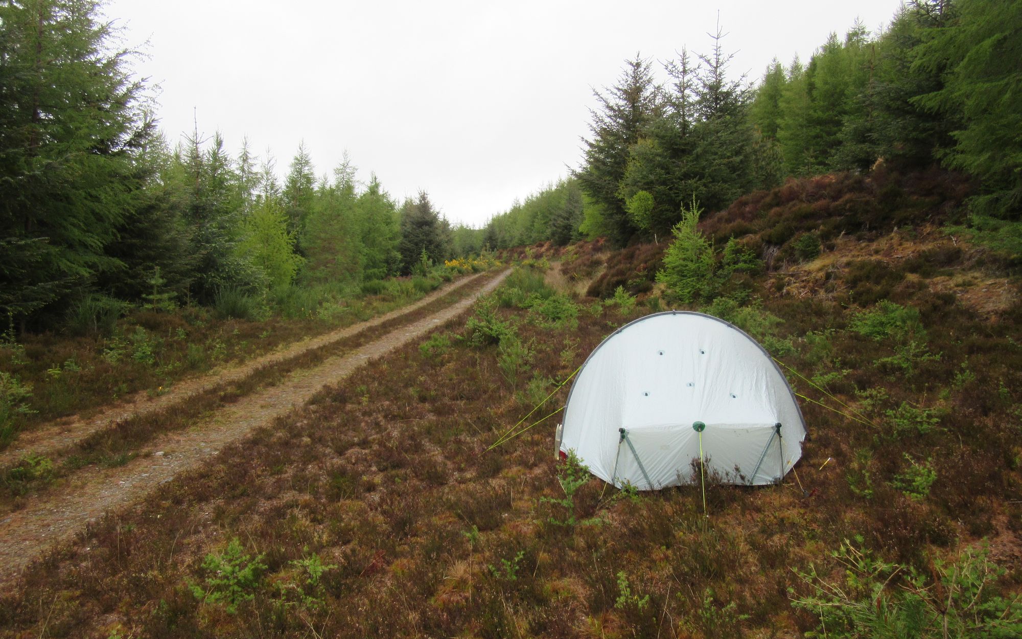
A showery day. I returned to the quiet minor road briefly before leaving it to climb to a windfarm via its access track. The tracks to the turbines all ran in the wrong direction by big loops so I took multiple short cuts across rough, wet and heathery ground before reaching the track which leads all the way to the summit of Carn na h-Easgainn, and also rejoining my planned main route. This was the one Graham of the trip which wasn't a new list-tick for me, as I'd done it a couple of times before by bike.
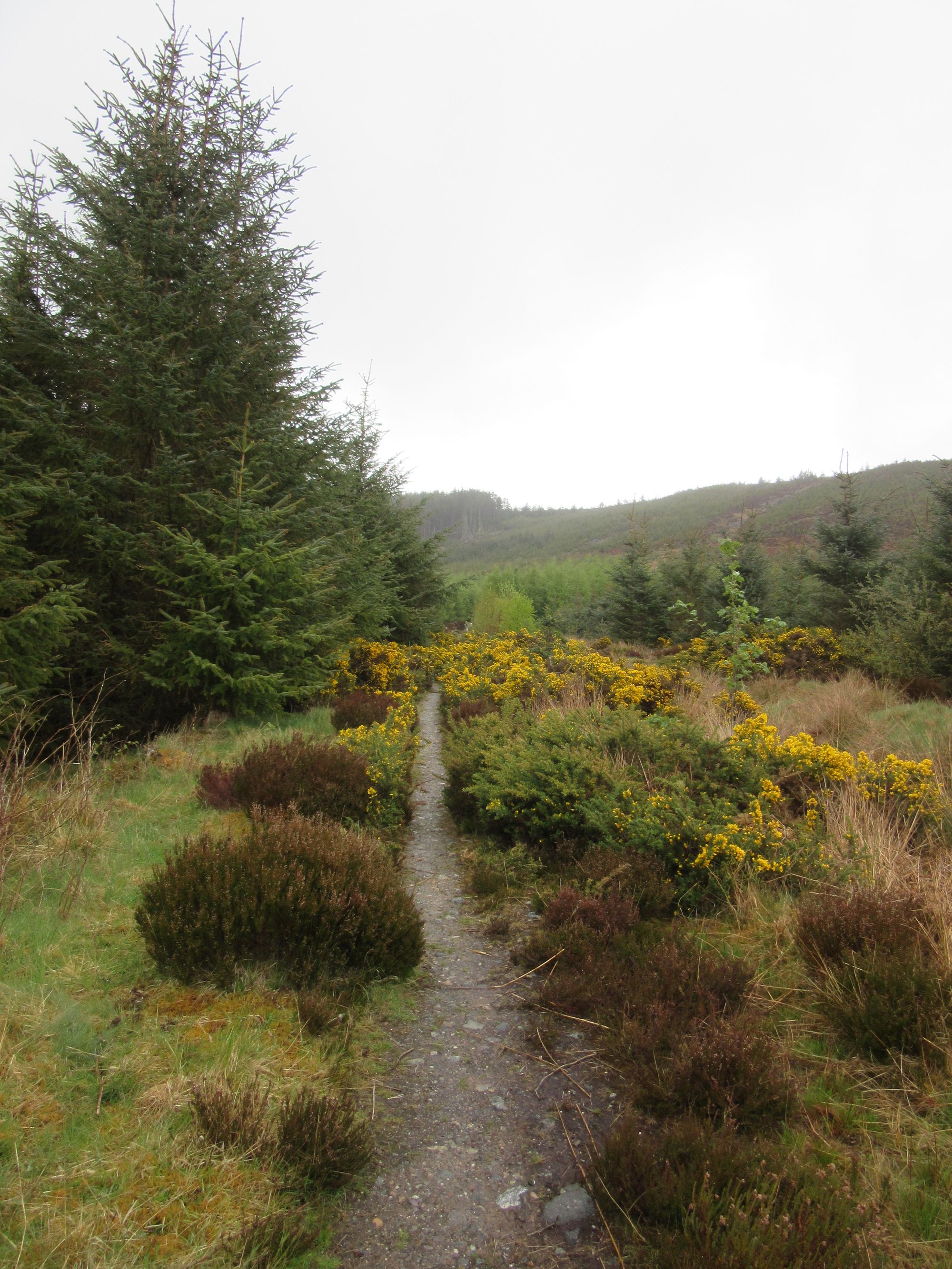
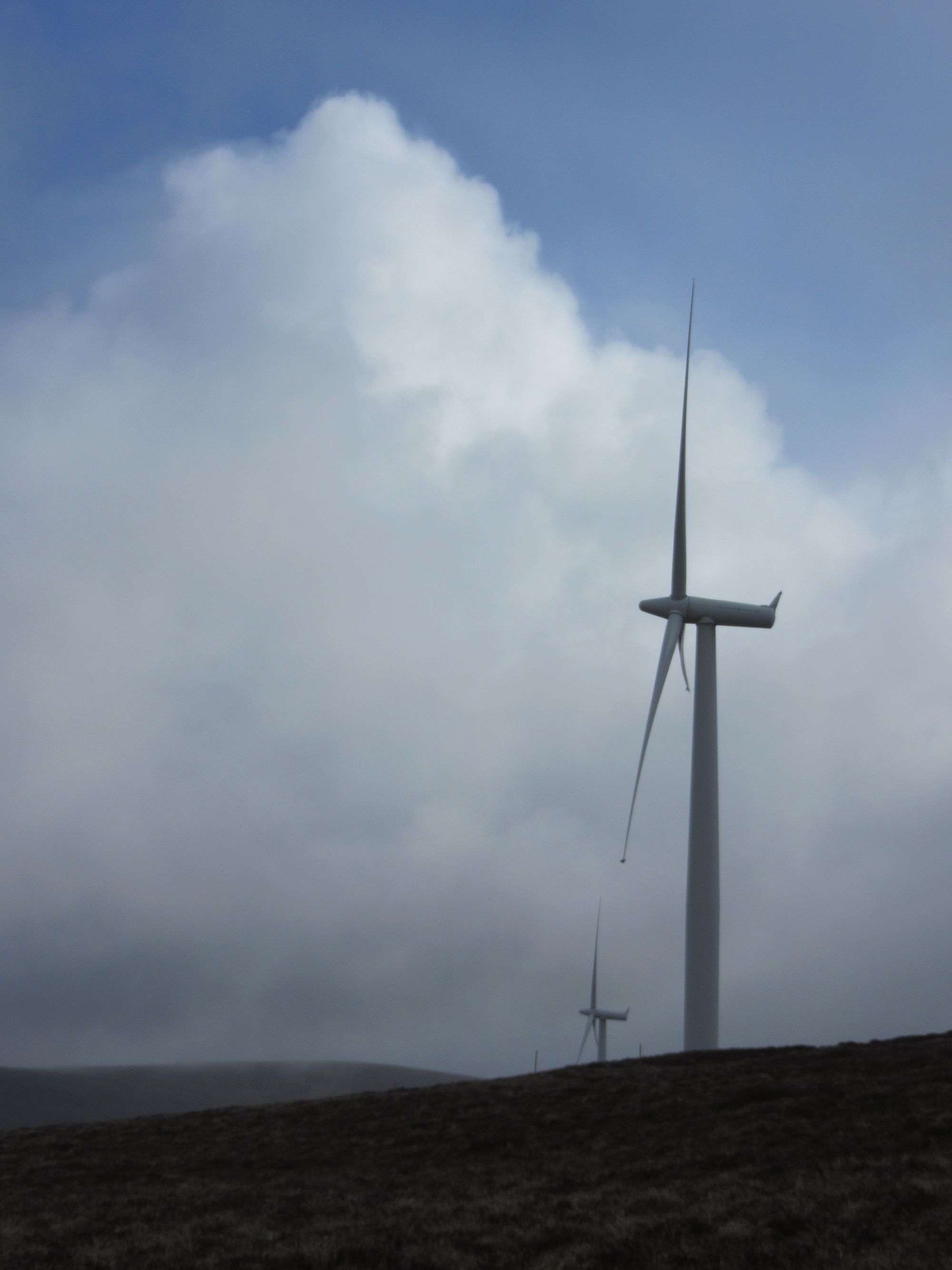
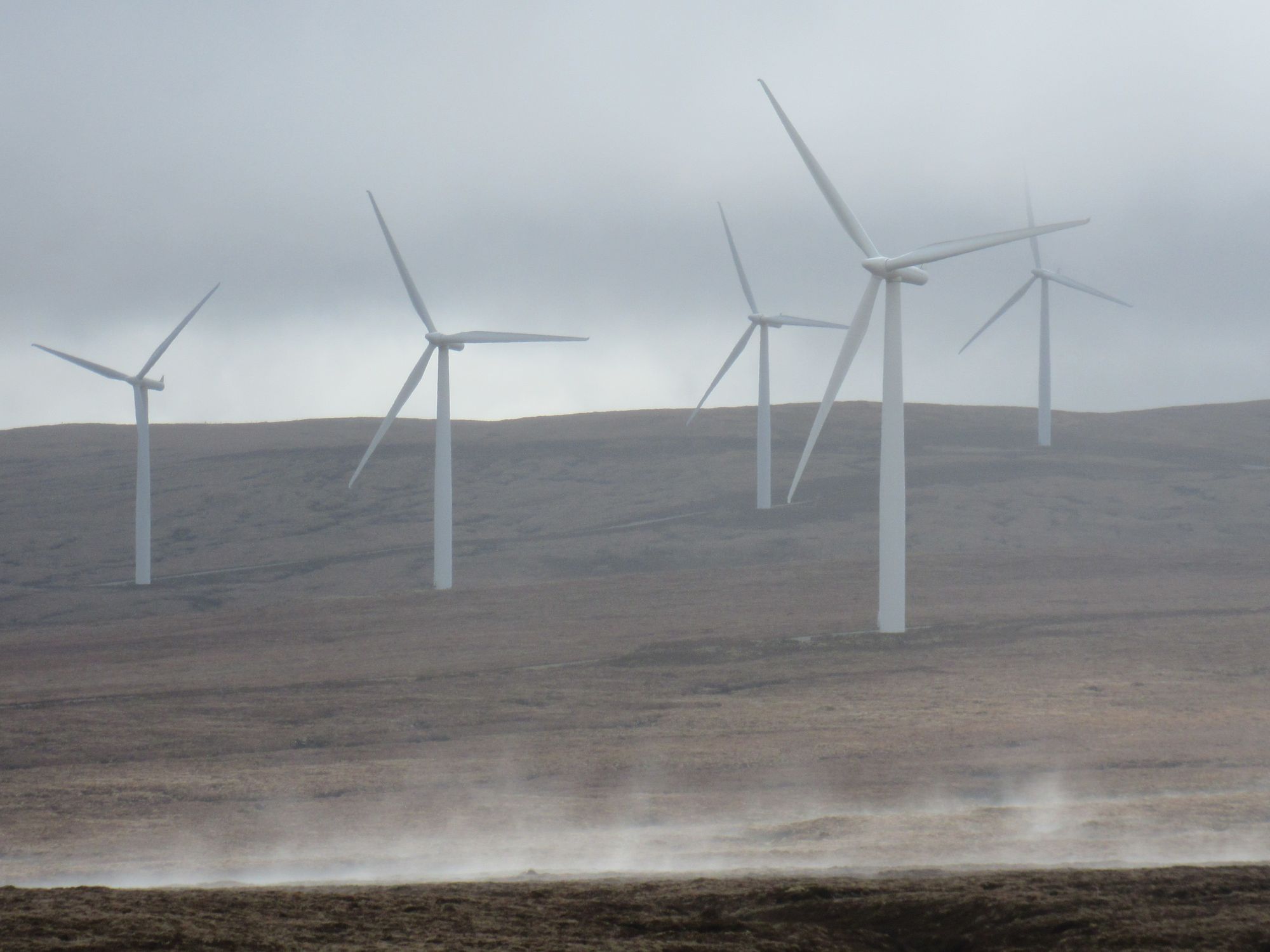
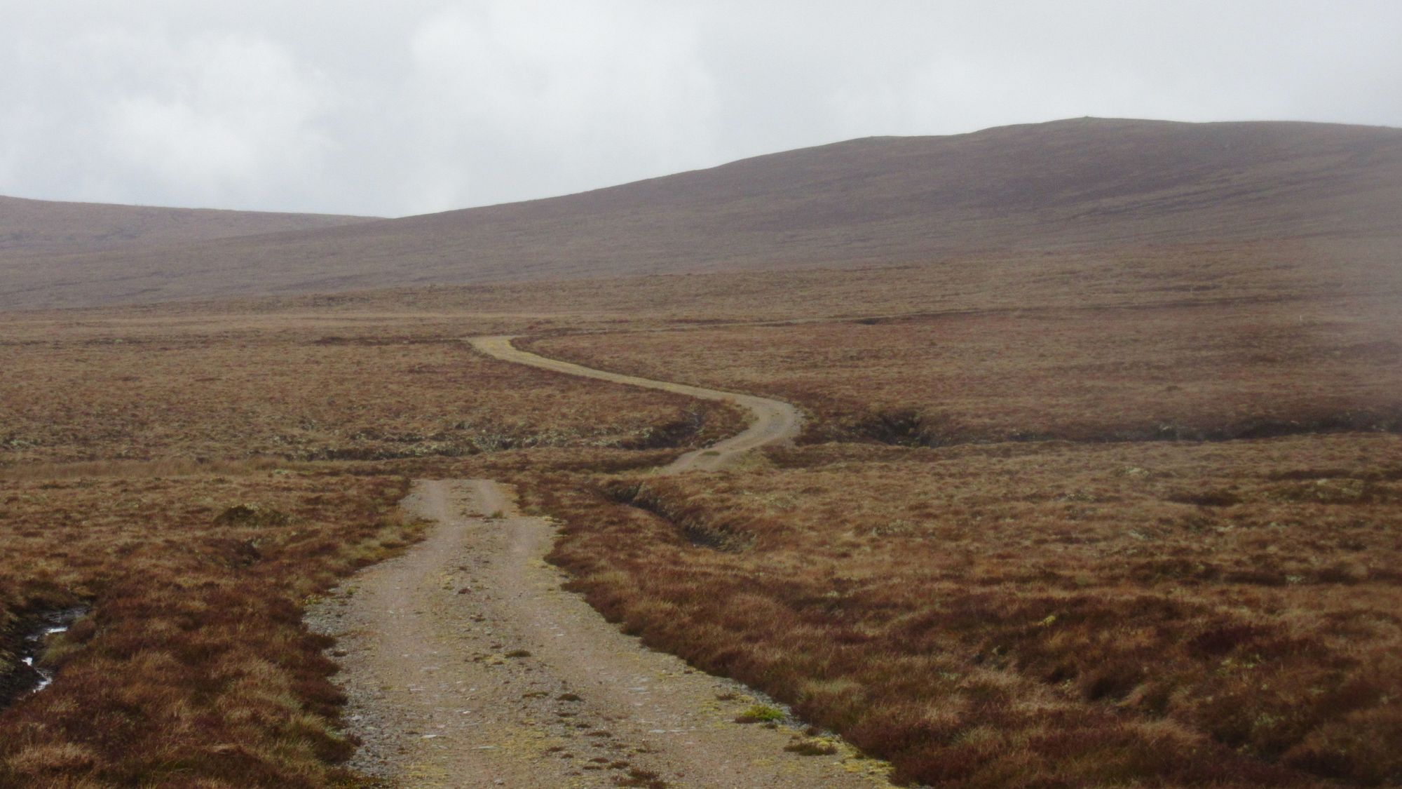
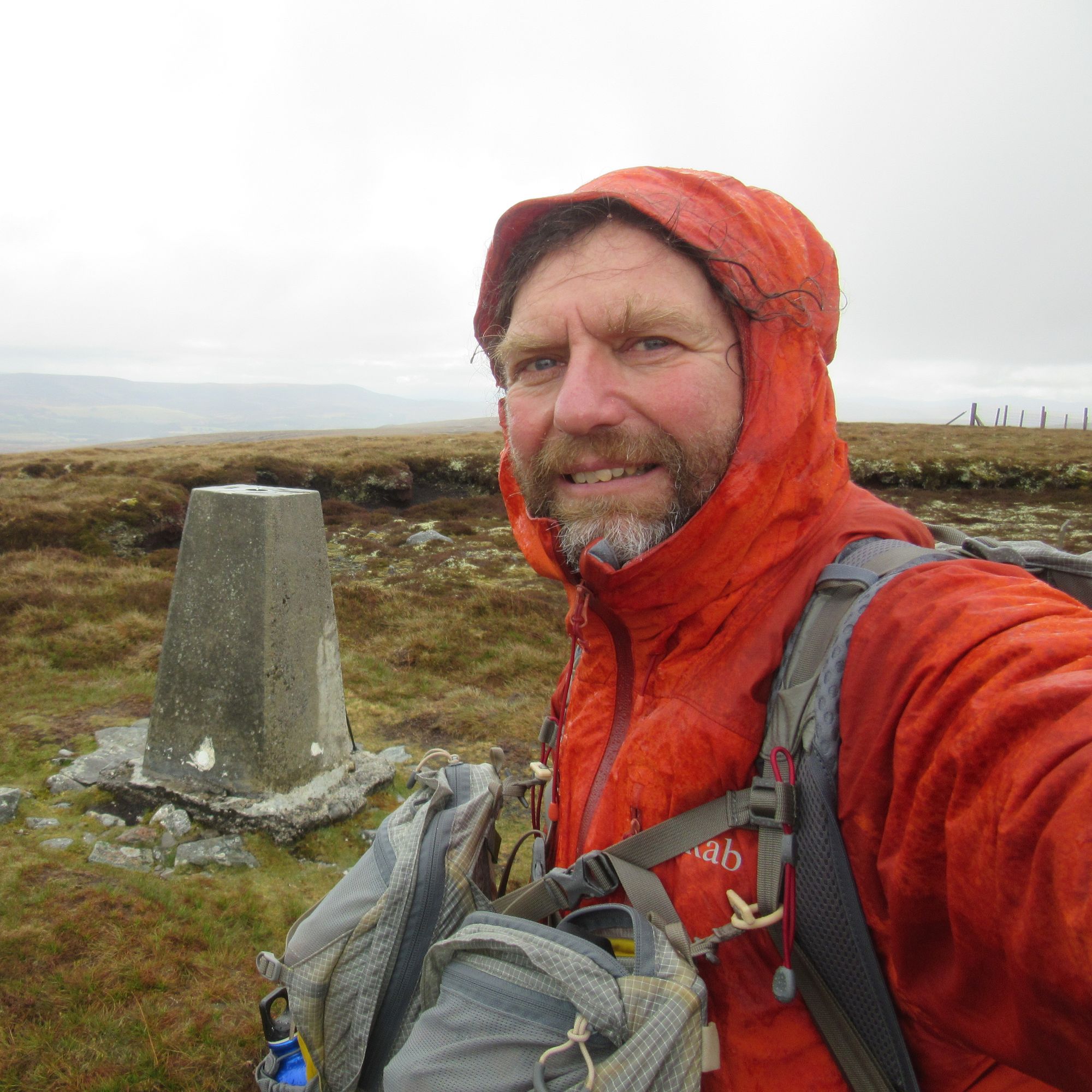
On the way to Carn na h-Easgainn.
Descending to Moy, I was slightly worried that all the A9 dualling construction work would make it difficult to cross the road, but a pedestrian route around the works was nicely signposted and there were no issues. After a bit more pavement walking on the quiet old road parallel to the A9 I turned off onto the windfarm access road north of Moy Hall, stopping for lunch beside the river.
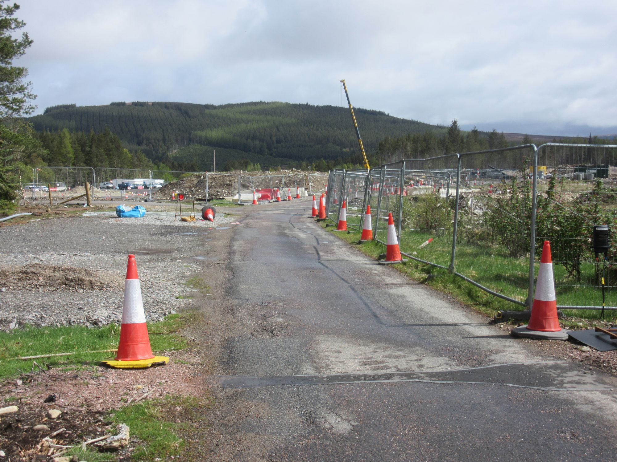
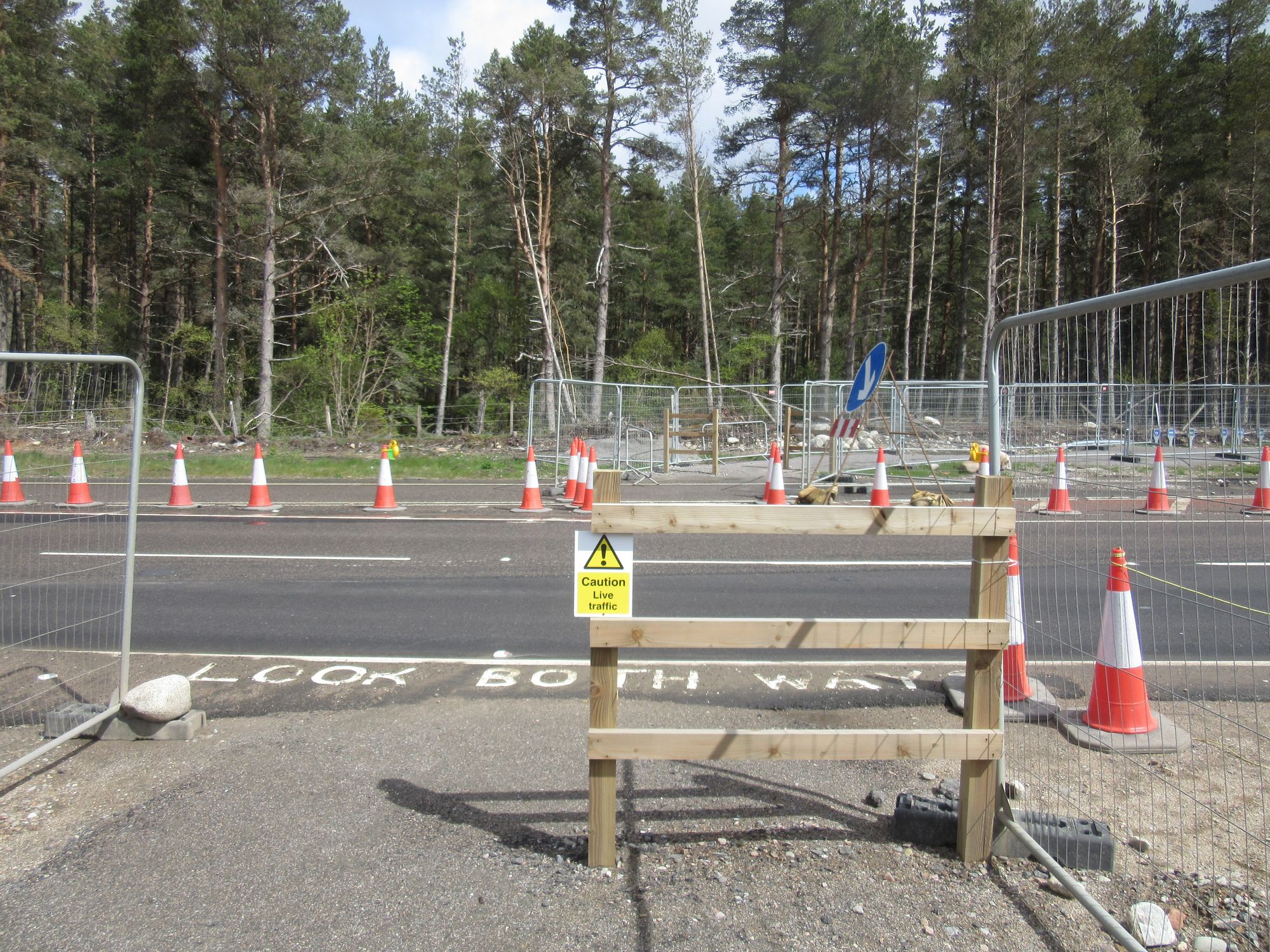
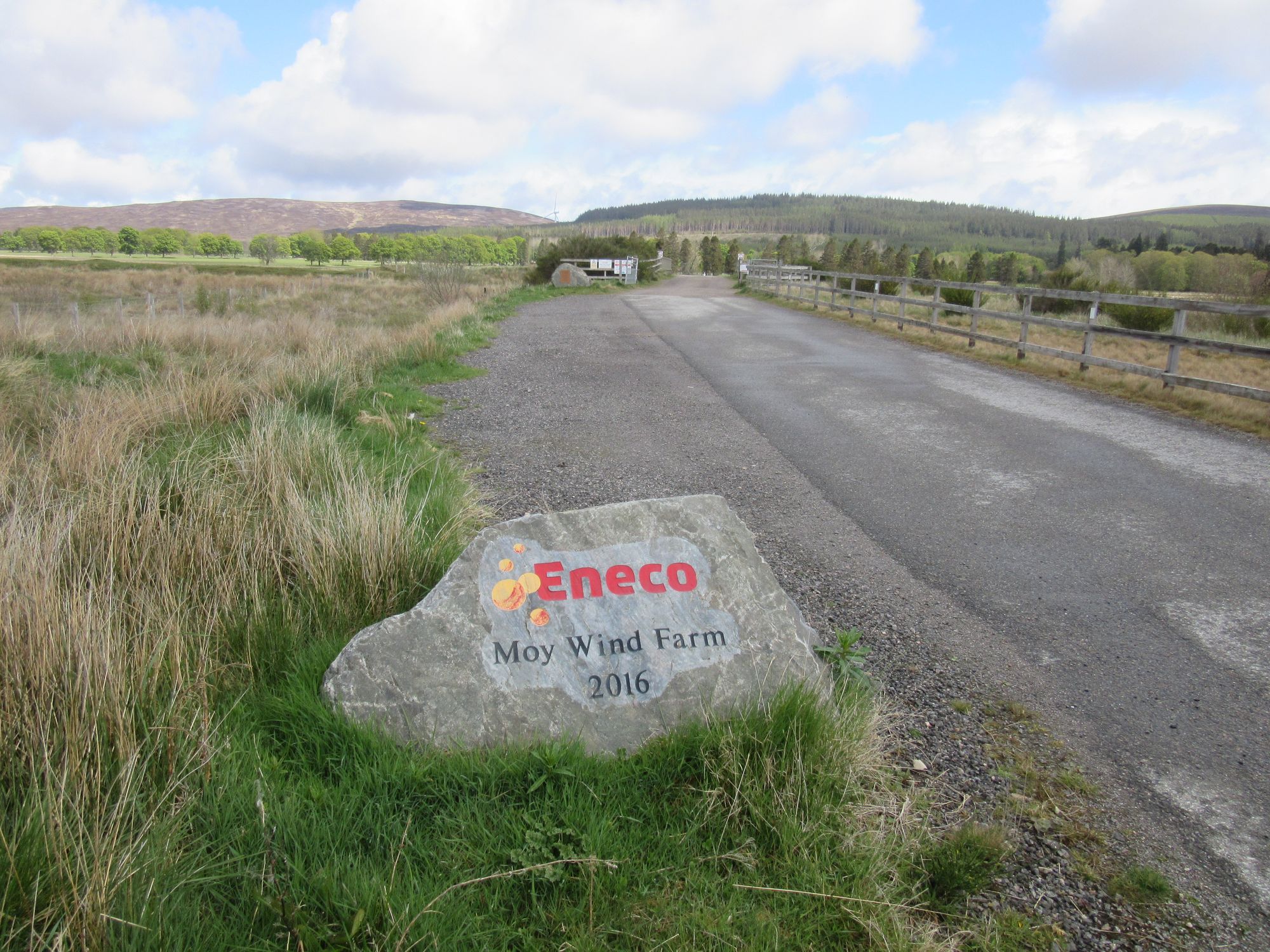
Across the A9 and then into Moy Wind Farm.
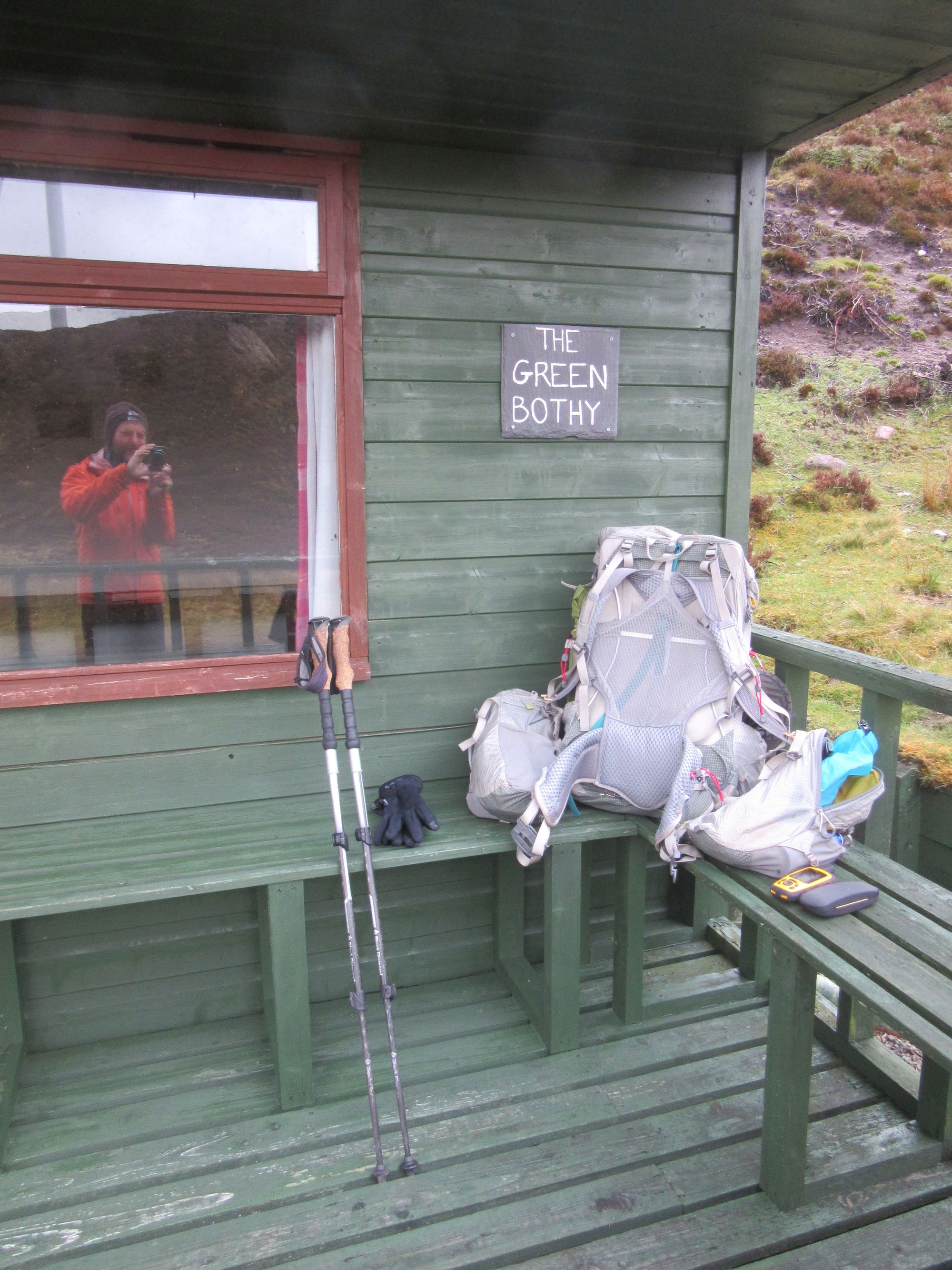
As the climbing through the lower reaches of the windfarm began, the rain set in. I'd been unsure where I'd end up today; a summit camp on the next Graham of the trip Carn nan Tri-tighearnan would have been ideal, but it was a thoroughly unappealing prospect in the current weather. I pressed on anyway, and higher up a little green shooting hut came into view and looked like it was worth a look if only for the possibility of pitching on the flat area around it. Despite a substantial padlock on the door it was not actually securing the bolt and the shed was unlocked, allowing me in to a simple but dry shelter. The torrential rain hammered on the metal roof but this was far preferable to being in the tent.
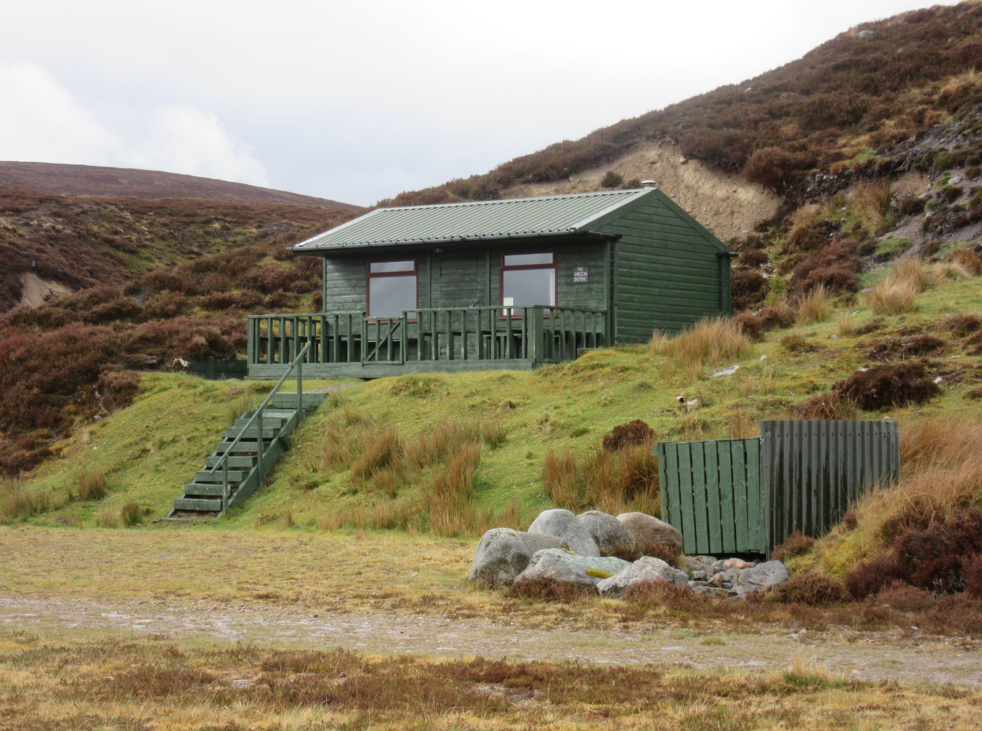
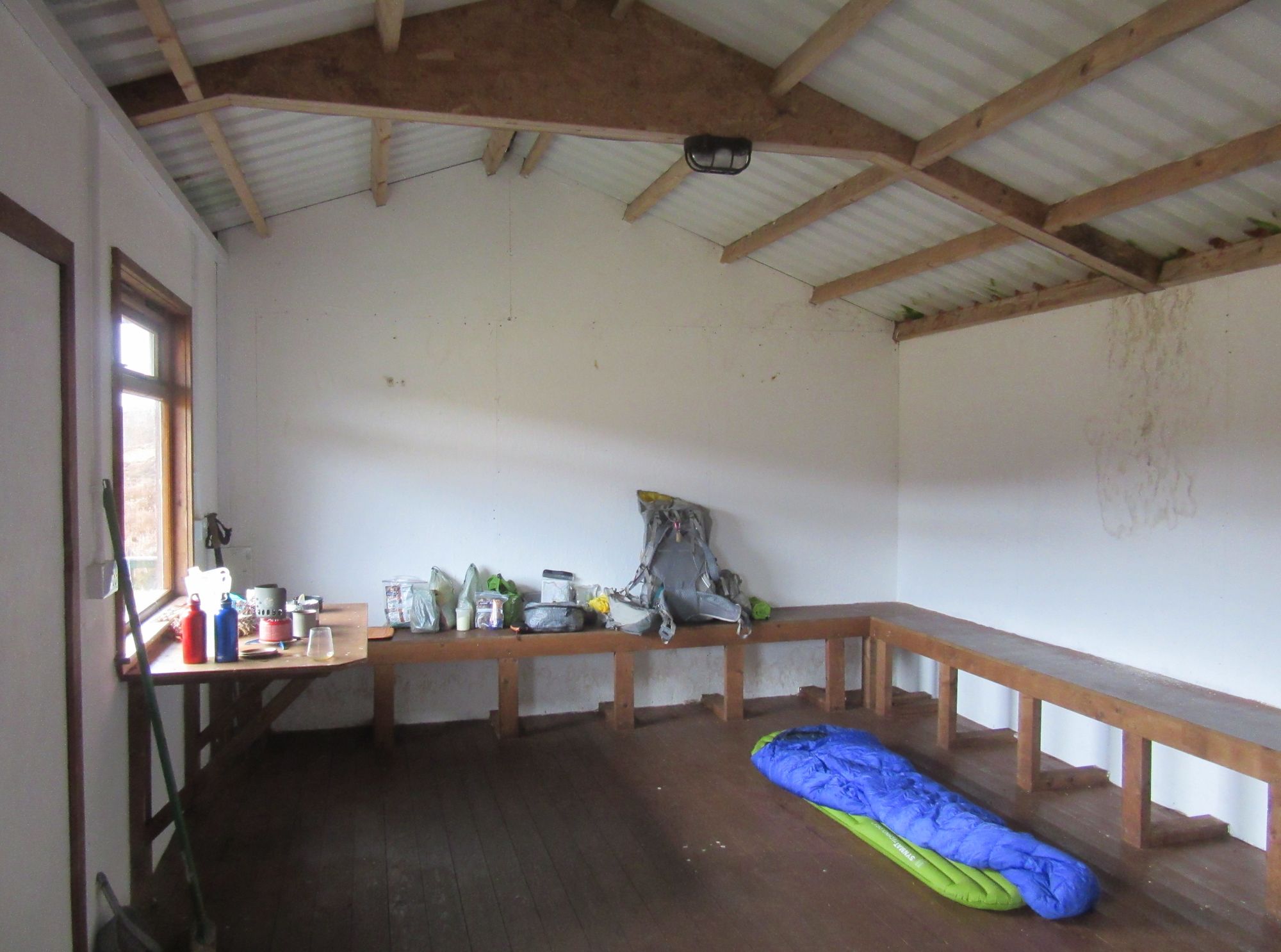
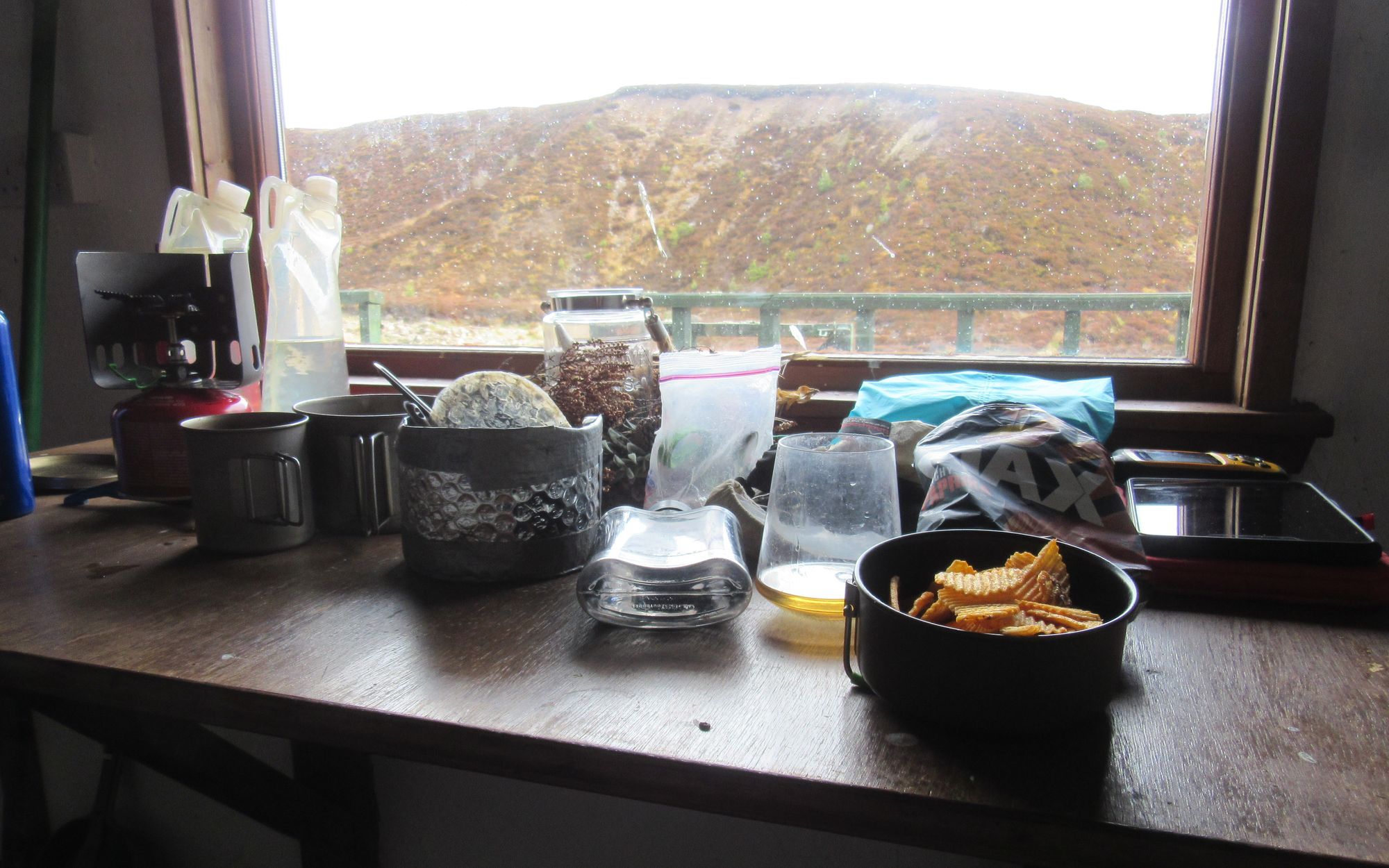
A welcome shelter from the rain.
Day 7: Moy Windfarm to NW of Grantown-on-Spey
Moy windfarm - Carn nan Tri-tighearnan (G;615m;#6) - Carn an Uillt Bhric – Tirfogrean (footbridge across River Findhorn) – Carn na Sguabaich – Badnonan – cross B9007 – Near Glentarroch/Lochan Dubh
The day started dry. Today I switched from the stony windfarm tracks to a greener old estate track to climb out of the rest of the windfarm, and when that stopped at a turning circle some rough heather bashing commenced. I managed to get to Carn nan Tri-tighearnan just before the rain properly set in again.
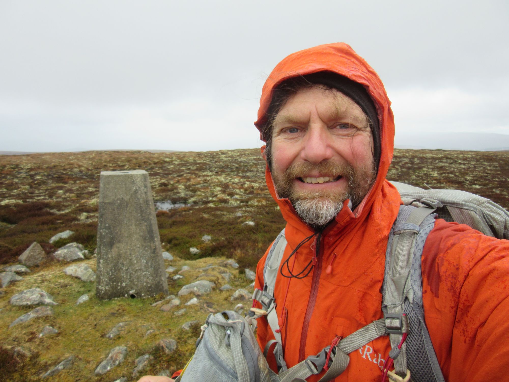
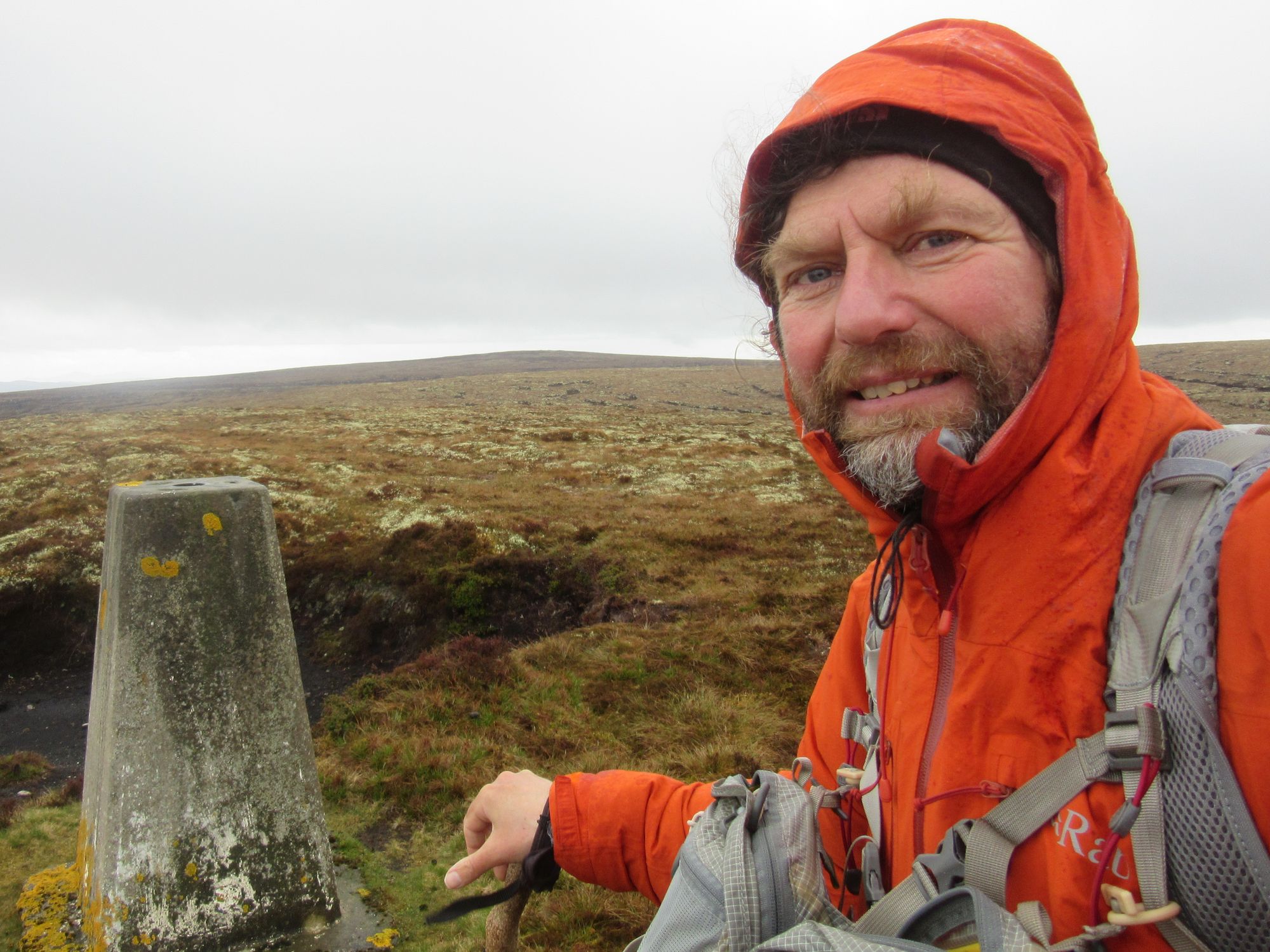
Up to Carn nan Tri-tighearnan, and over the halfway point of the Grahams!
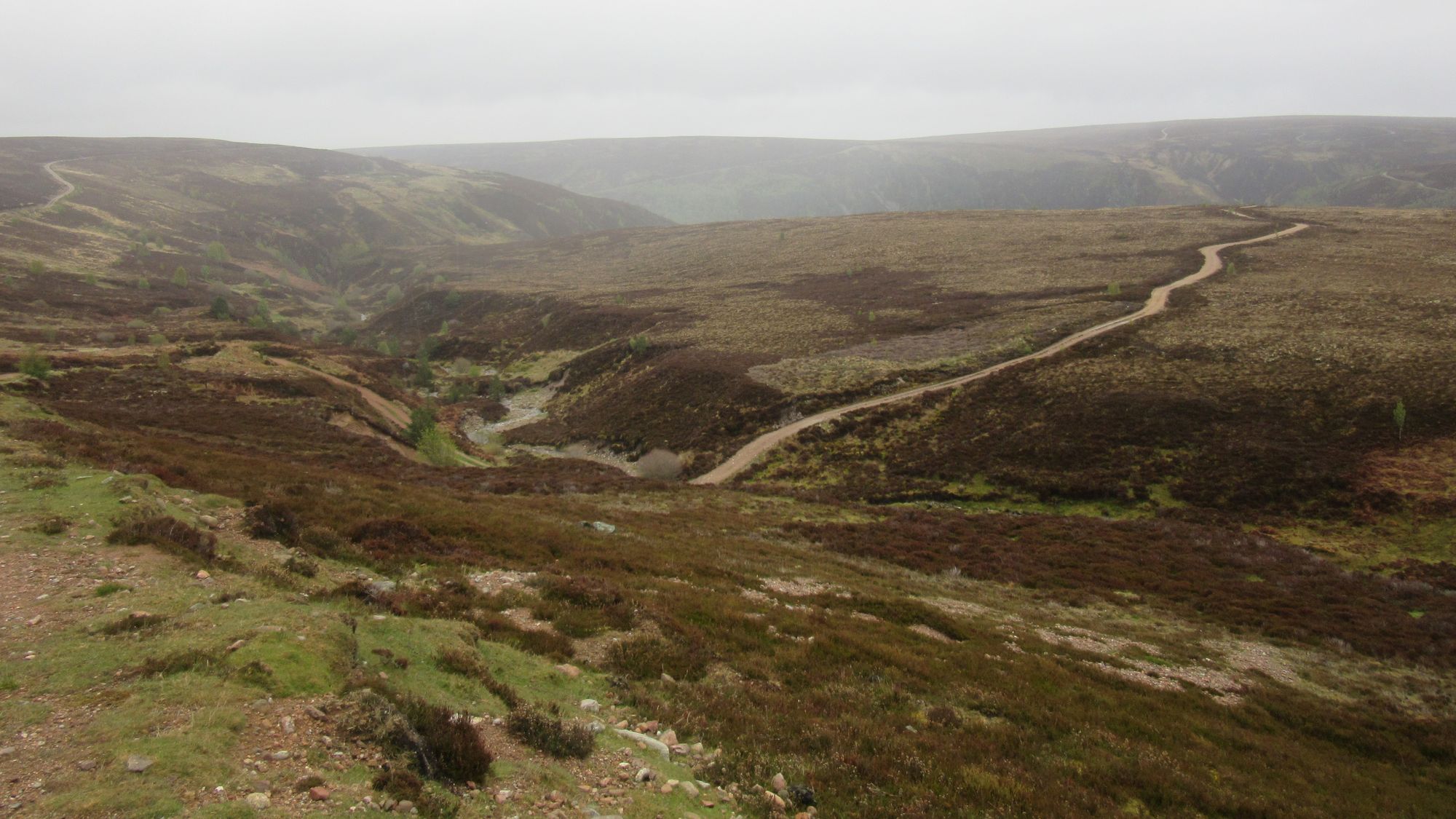
Beyond that, up on the summit plateau there were some epic peat hags, although fortunately mostly dry and solid enough that useful progress could sometimes be made along their channels.
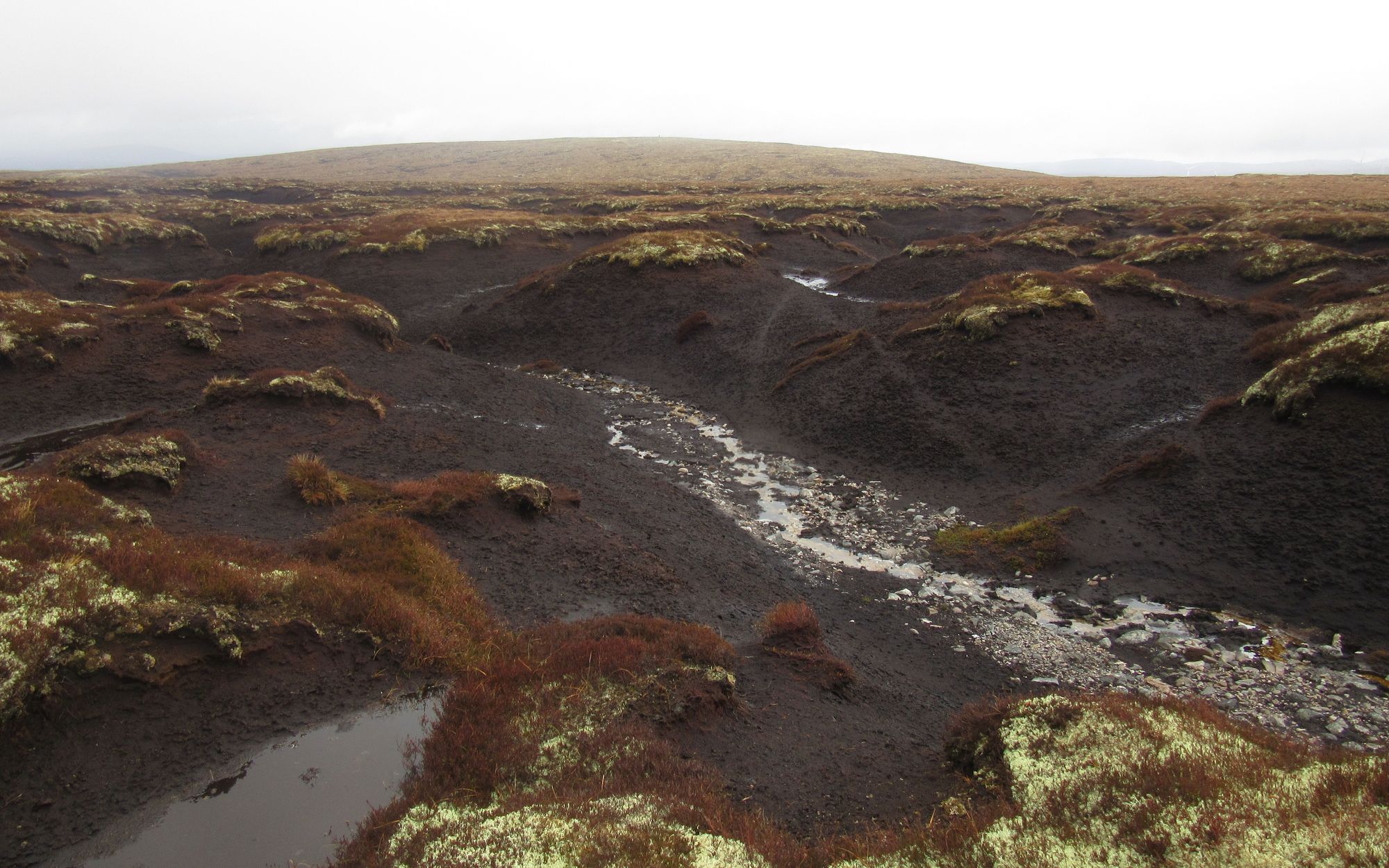
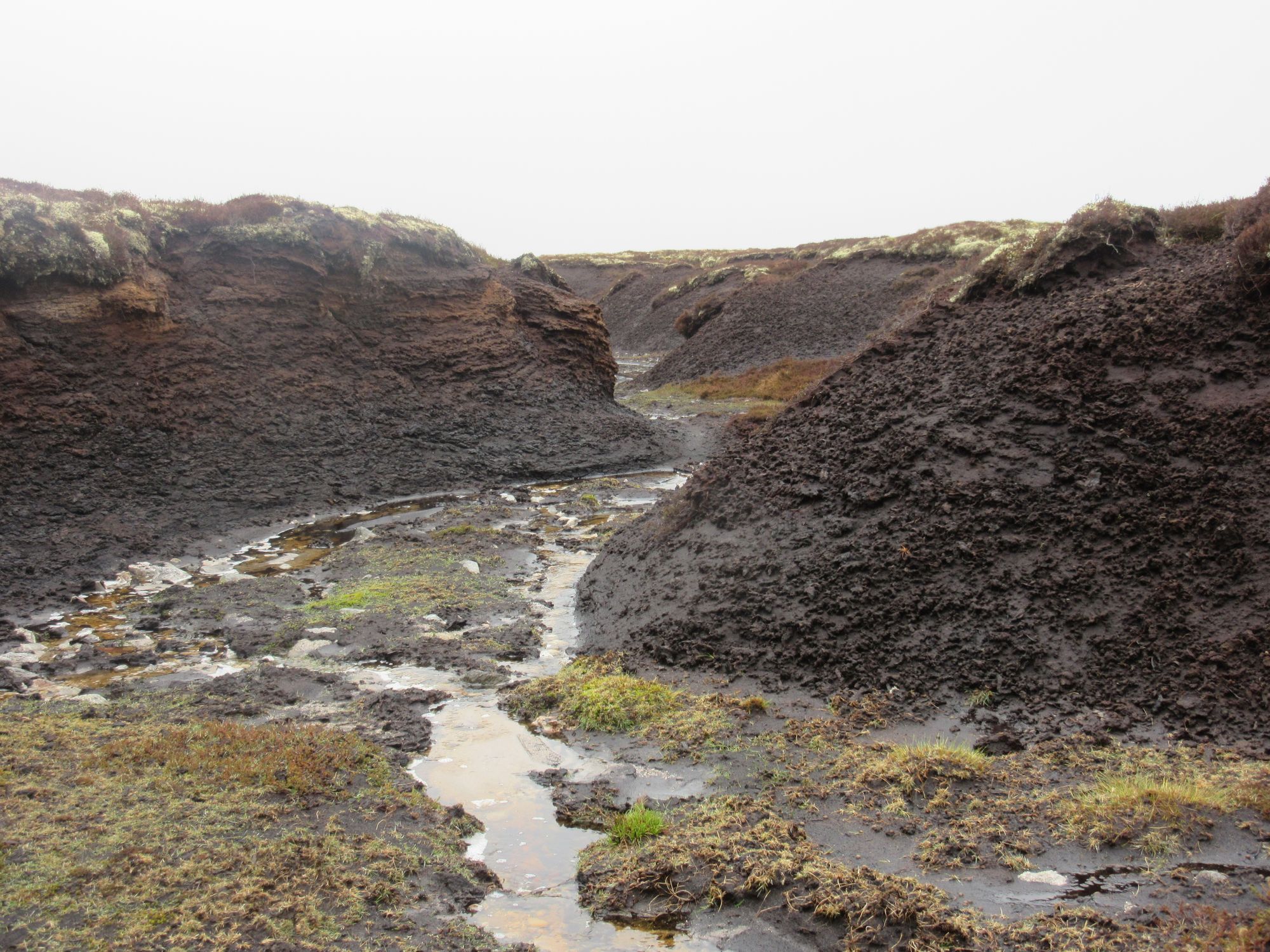
Epic peat hags on the way east from Carn nan Tri-tighearnan to another trig-point on Carn an Uillt Bhric.
Descending to cross the River Findhorn by the footbridge at Tirfogrean there was someone in waders fishing out in the river upstream. A passing worker on a quadbike asked if I was heading for one of the bothies and I had to admit I hadn't researched what there was in this part of the world, other than knowing there weren't any MBA-managed ones; he said I'd find them easily enough.
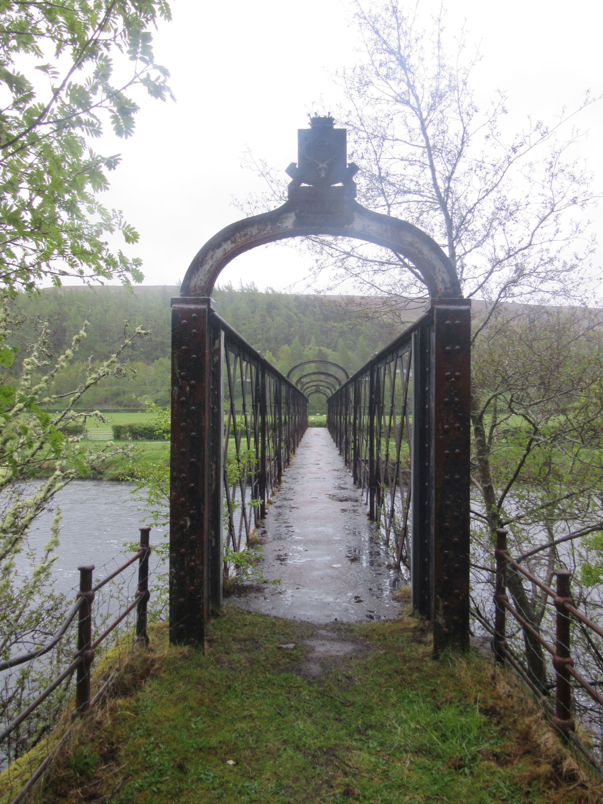
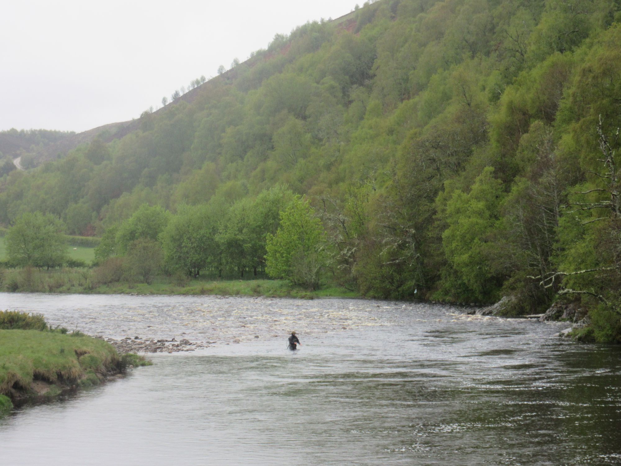
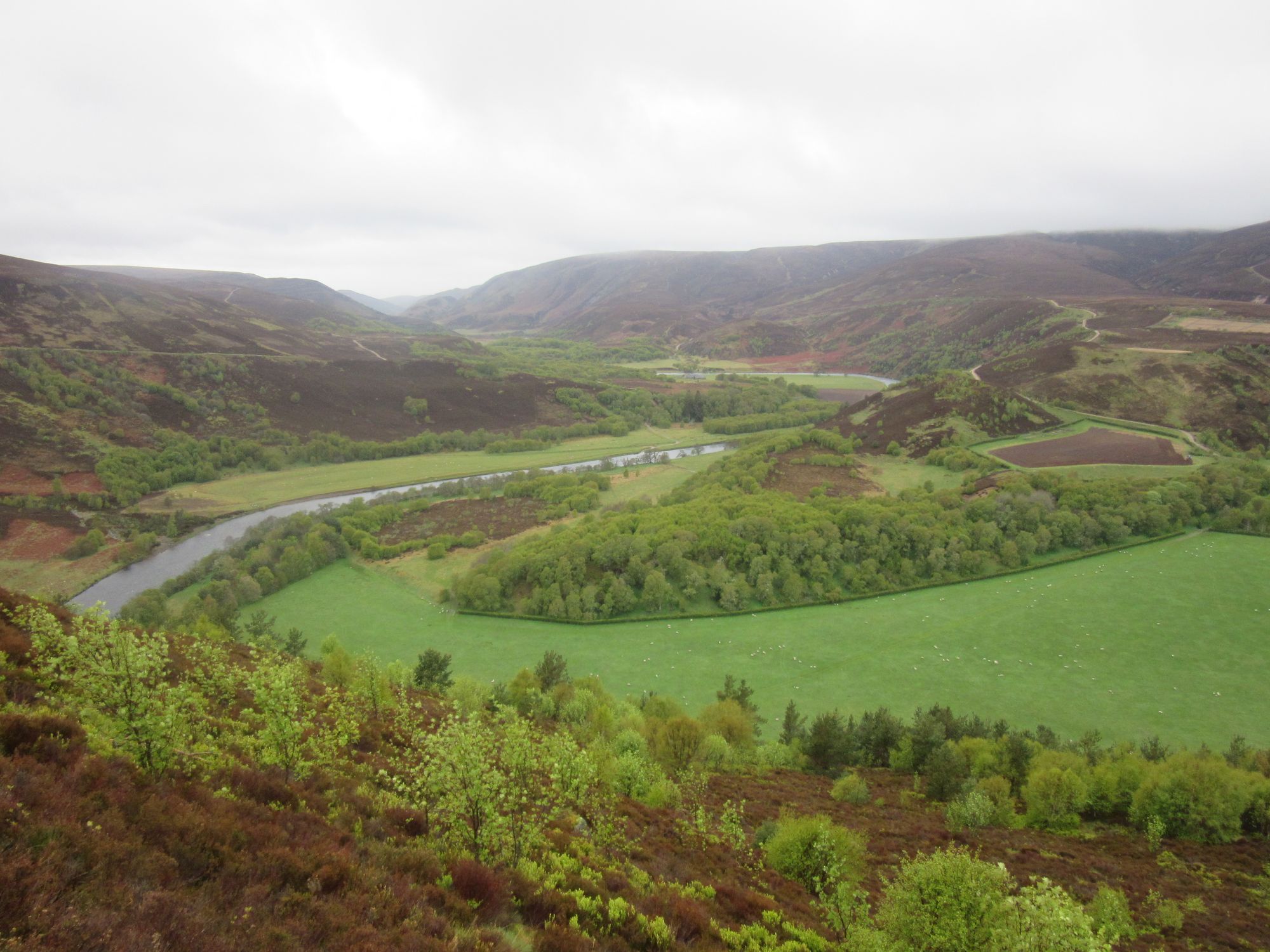
Across the River Findhorn.
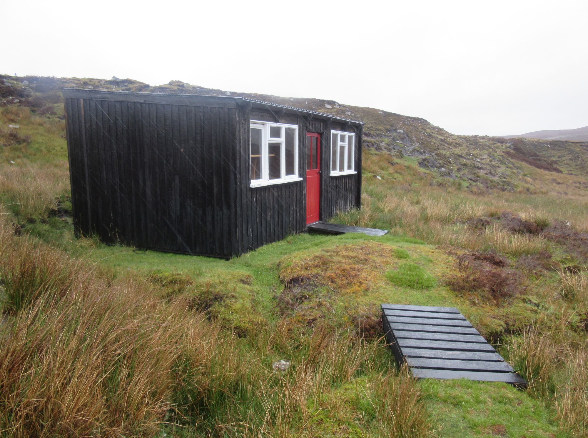
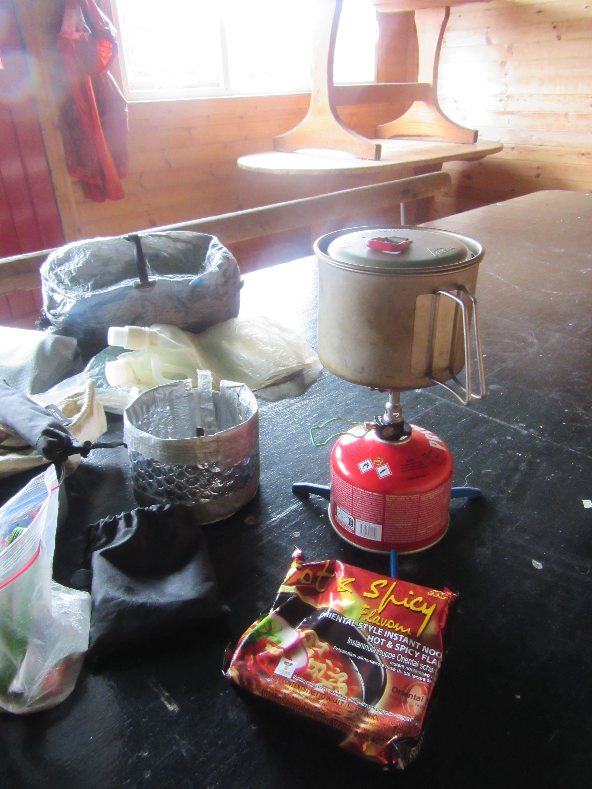
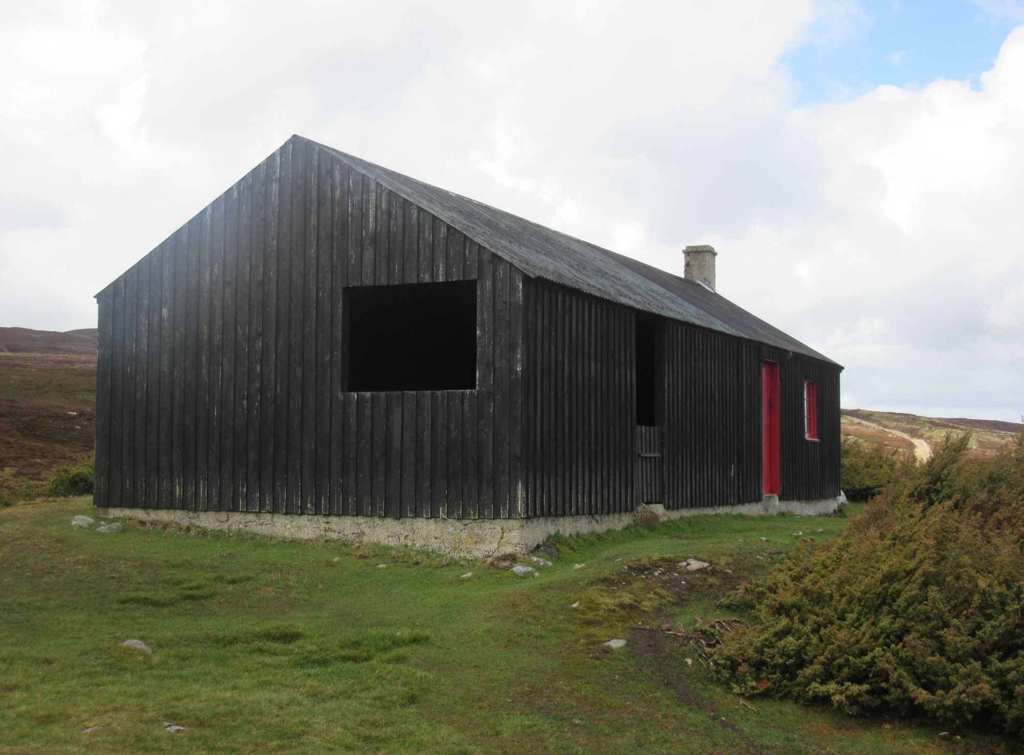
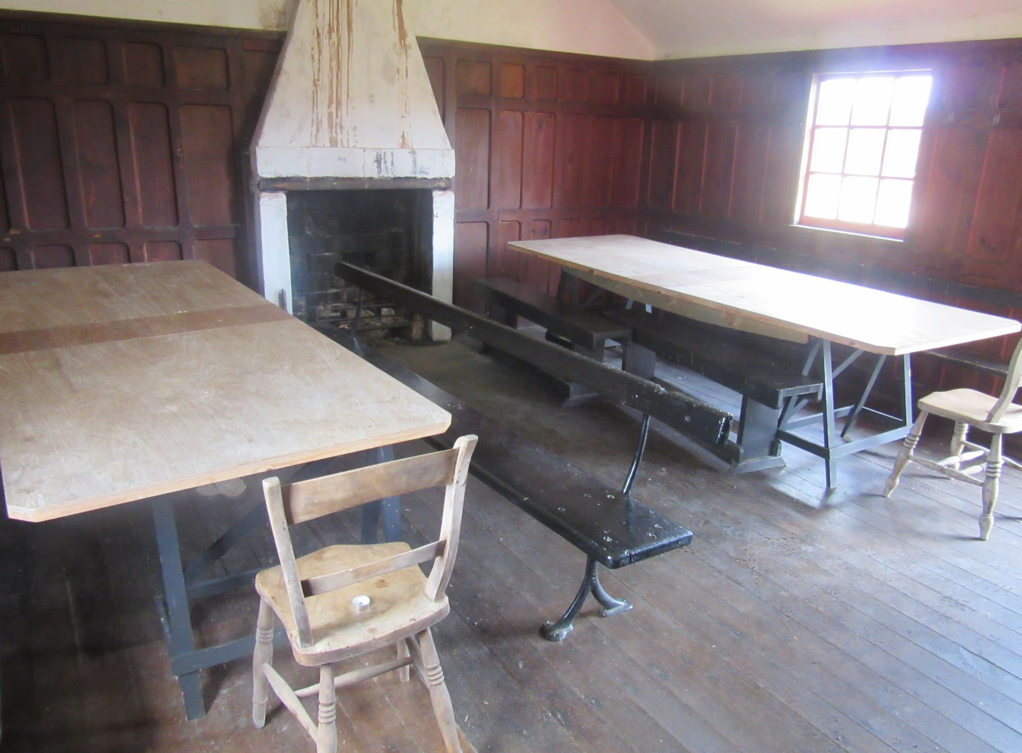
Climbing back onto the high ground still in continuous rain the first such bothy was soon reached, a little red-doored shed with a useful table, benches and chairs. This made a good lunch spot; it's rare that I get the stove out for lunch but this certainly felt like an occasion for it and some hot noodles were consumed.
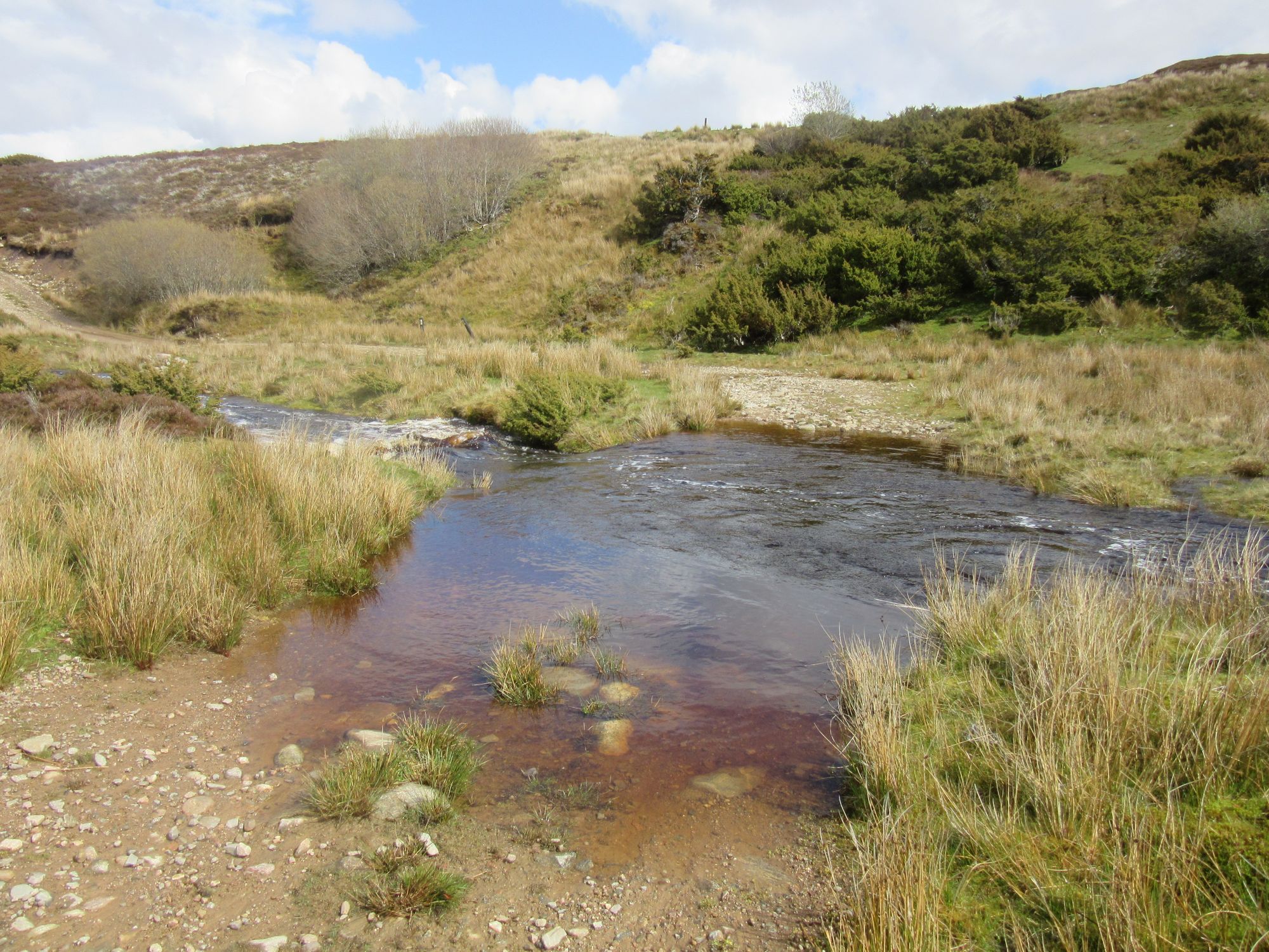
Another bothy - a more substantial building this time - a few kilometres on was too soon for another stop, but more of an issue was that the heavy rain meant the ford in the track I needed to continue on was looking impassible. I had to take to the heather and explore upstream, eventually managing to jump it above where it had split into smaller tributaries. Returning to the track, another ford a couple of kilometres further on presented similar challenges and after managing to cross that some way upstream I opted to stay higher up this time on the heather, letting the track come up to meet me further east before descending to cross the B9007.
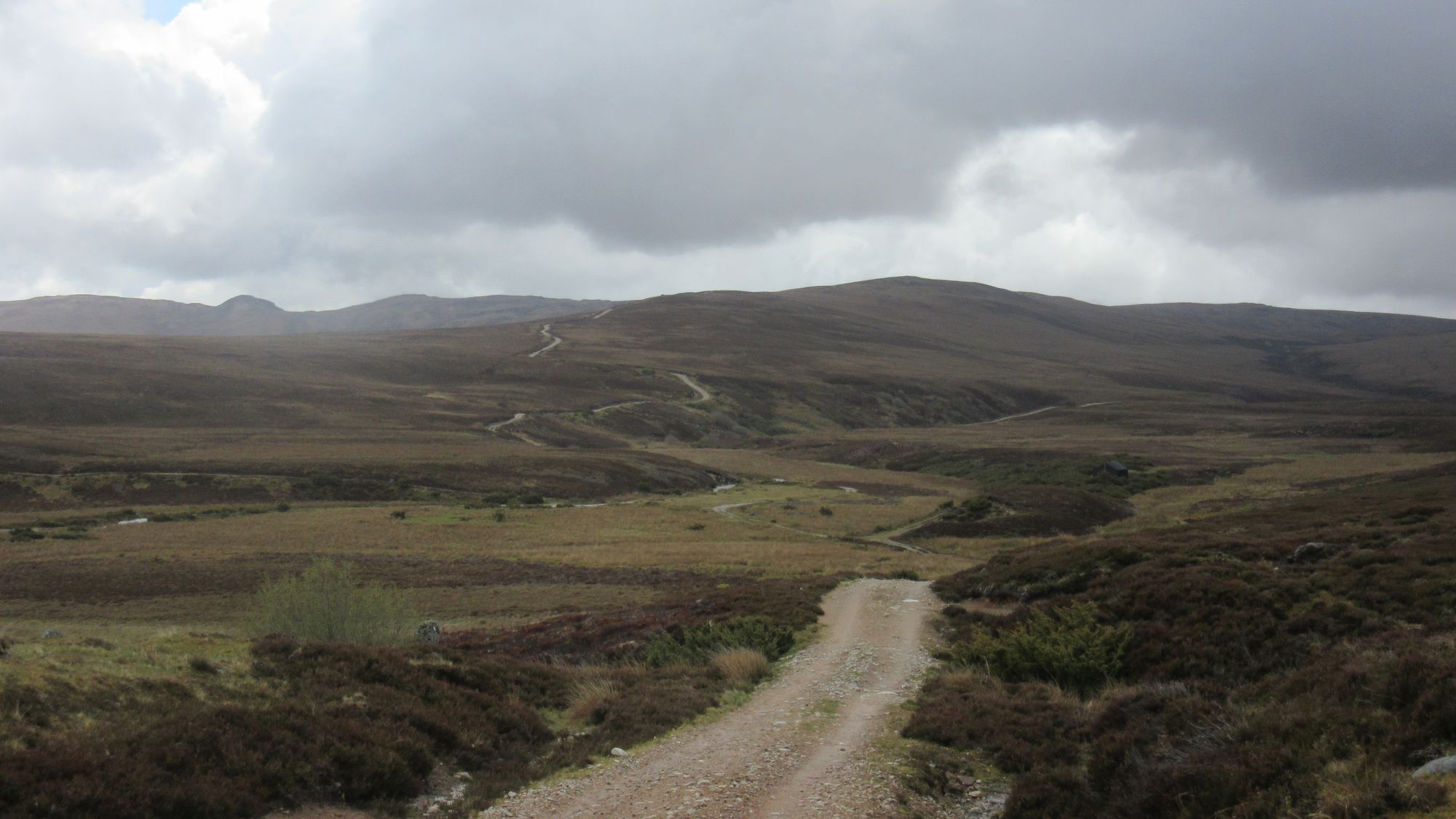
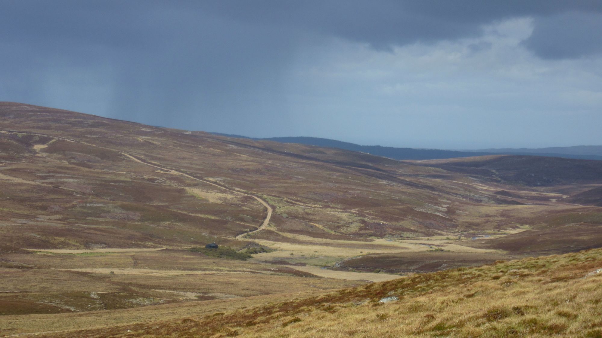
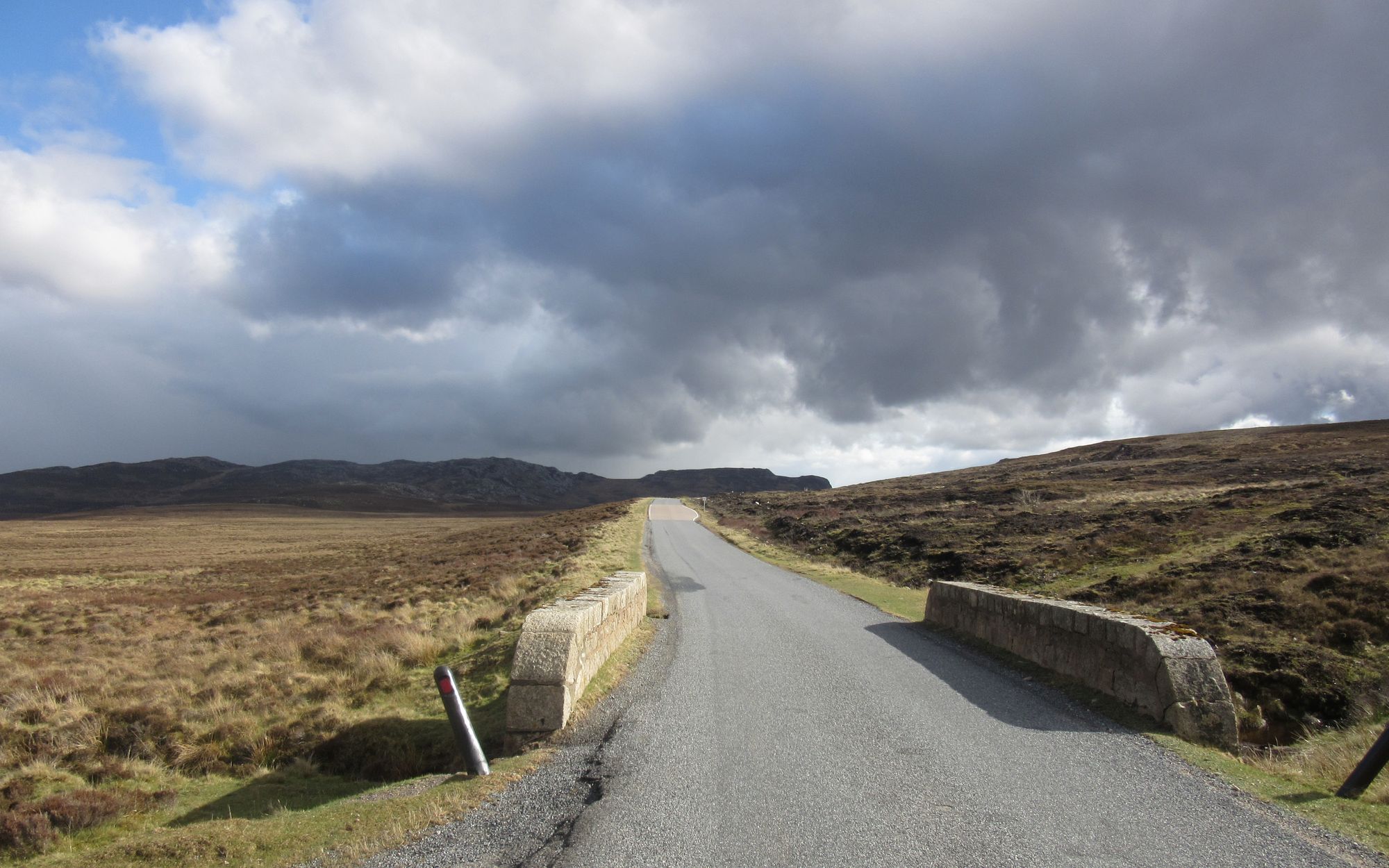
Eastwards across the moor.
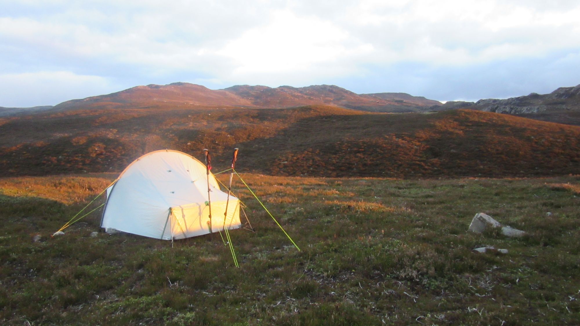
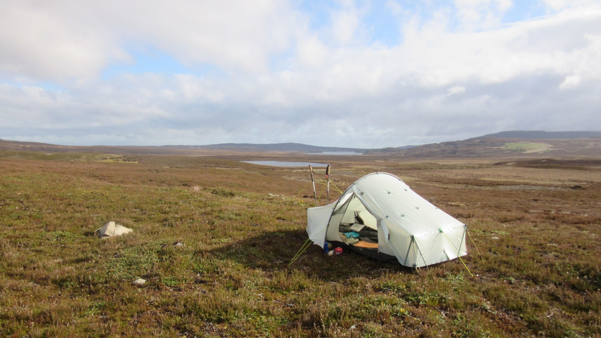
It was time to start thinking about where to stop, and it had been a very long day thanks to the combination of stopping earlier than the planned summit camp yesterday and the couple of detours due to some burns' spate conditions. Looking in at the abandoned building at Glentarroch revealed it to be a horrid guano-splattered open ruin; certainly not an acceptable bothying option. The surrounding meadows were too covered in sheep droppings to hold much appeal, but a little further east a heathery (and apparently sheep-repelling) mound to the south of Lochan Dubh turned out to be not too bushy and made a pleasant spot. Water was drawn from the Allt a'Choire Odhair Bhig, and filtered due to the presence of all the sheep.
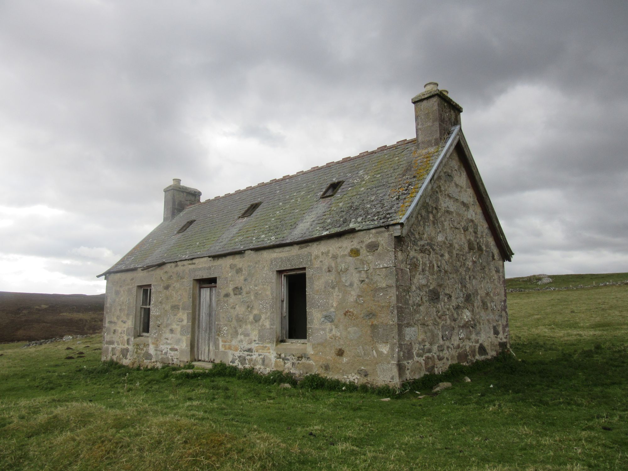
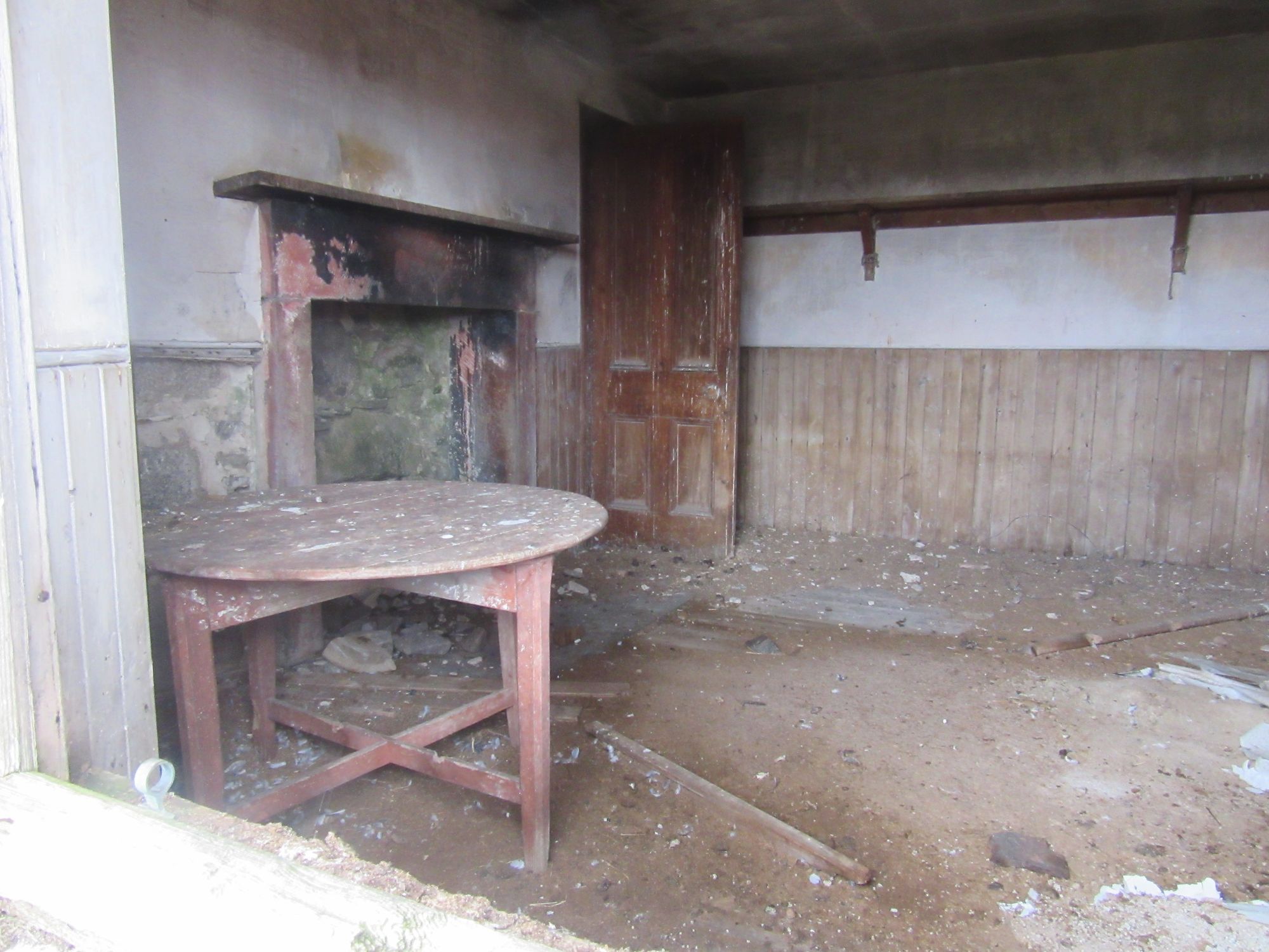
Past the derelict building at Glentarroch to find a camping spot.
Day 8: NW of Grantown-on-Spey to Cromdale Hills
Near Glentarroch/Lochan Dubh - Cam Sgriob - Grantown-on-Spey - Speyside Way - Cromdale - Lethendry - Hill of Lethendry - Creagan a’Chaise (G;722m;#7) - Coronation Cairn
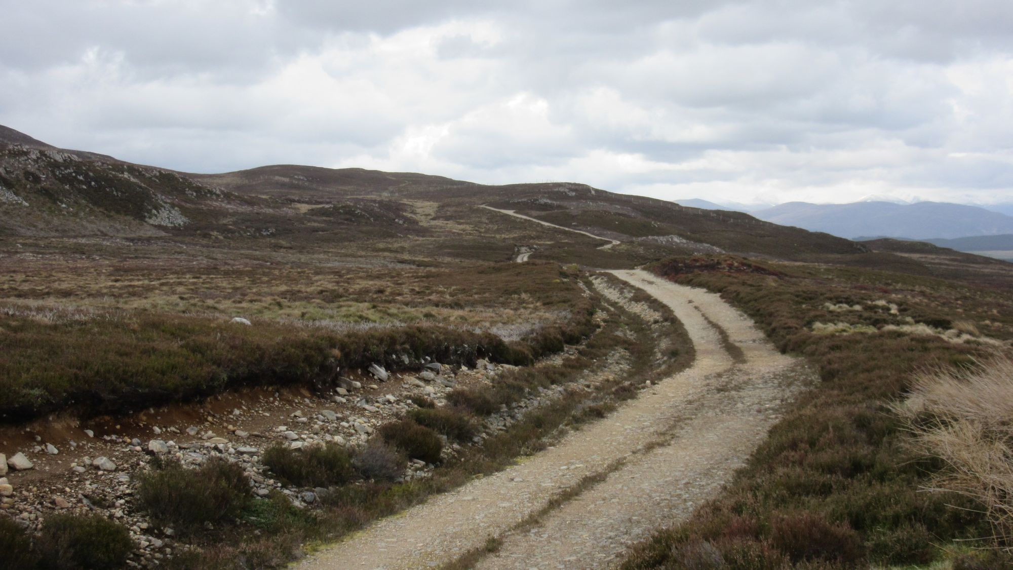
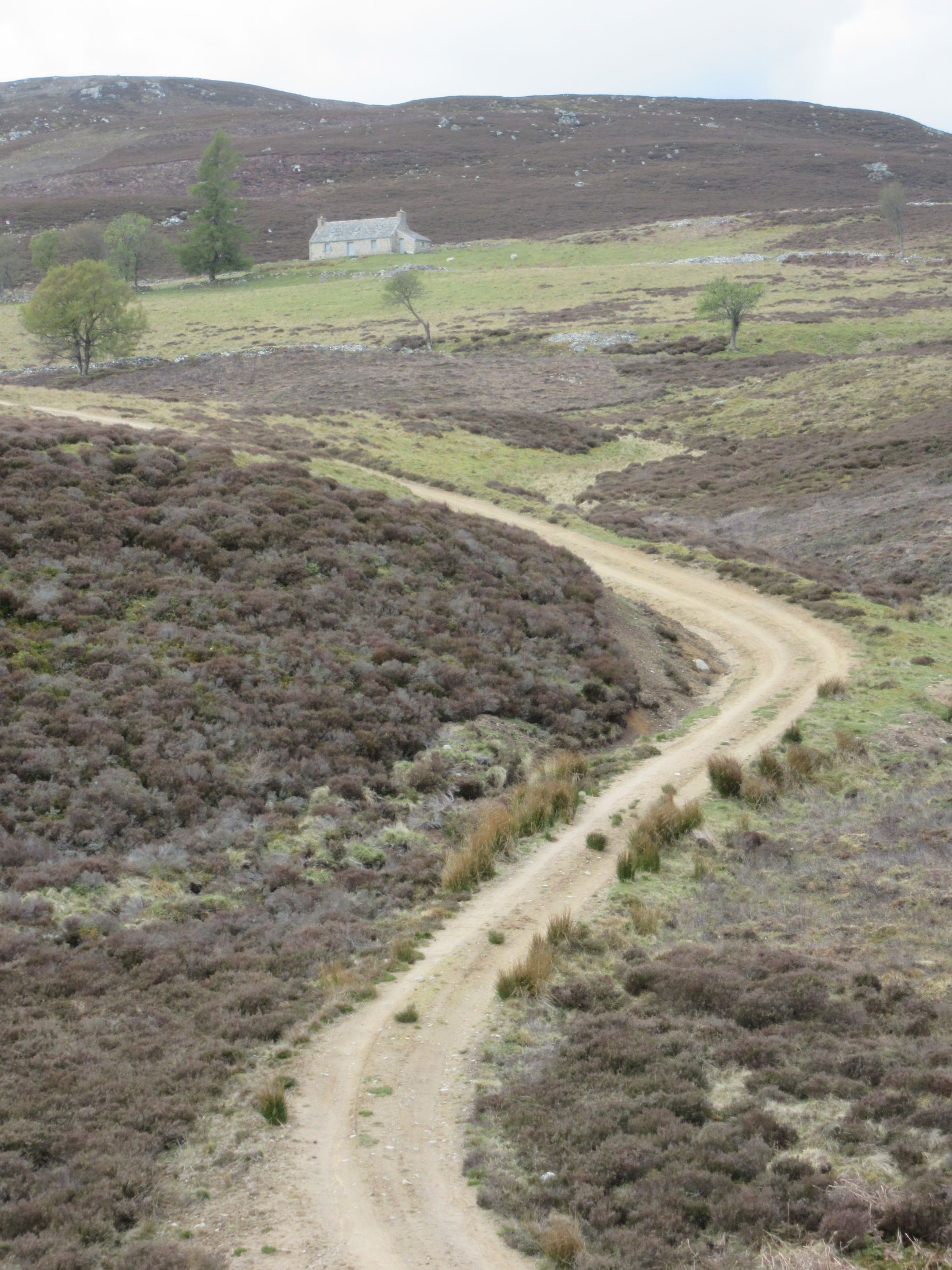
I finally crossed the lumpy line of hills I'd been running along the north side of yesterday, by skirting around Cam Sgriob on tracks to reach Wester Rynechkra. From there easy tracks led east and then south east to reach Grantown-on-Spey by lunchtime. Despite a lot of cloud it was possible to tell the main Cairngorm range to the south had quite a lot of snow on it.
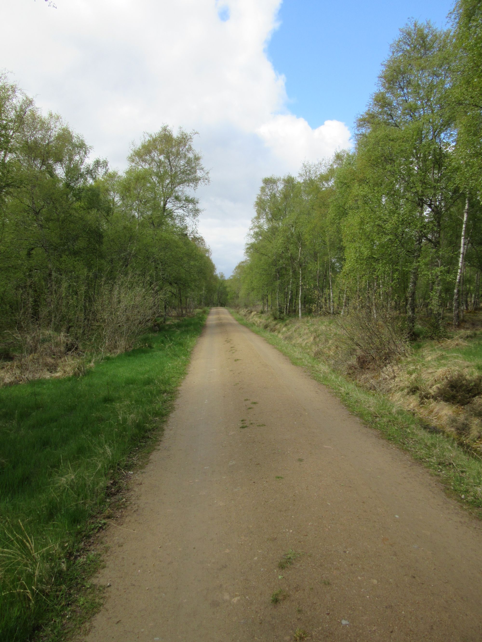
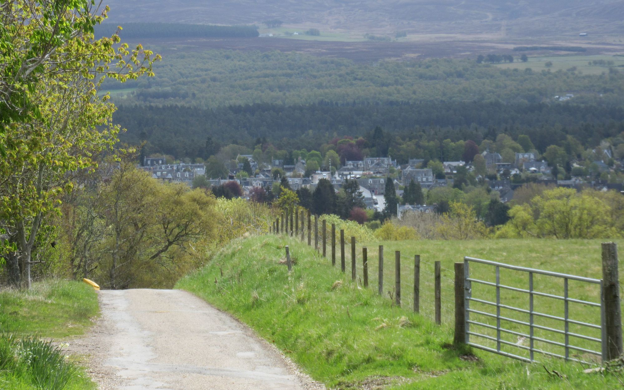
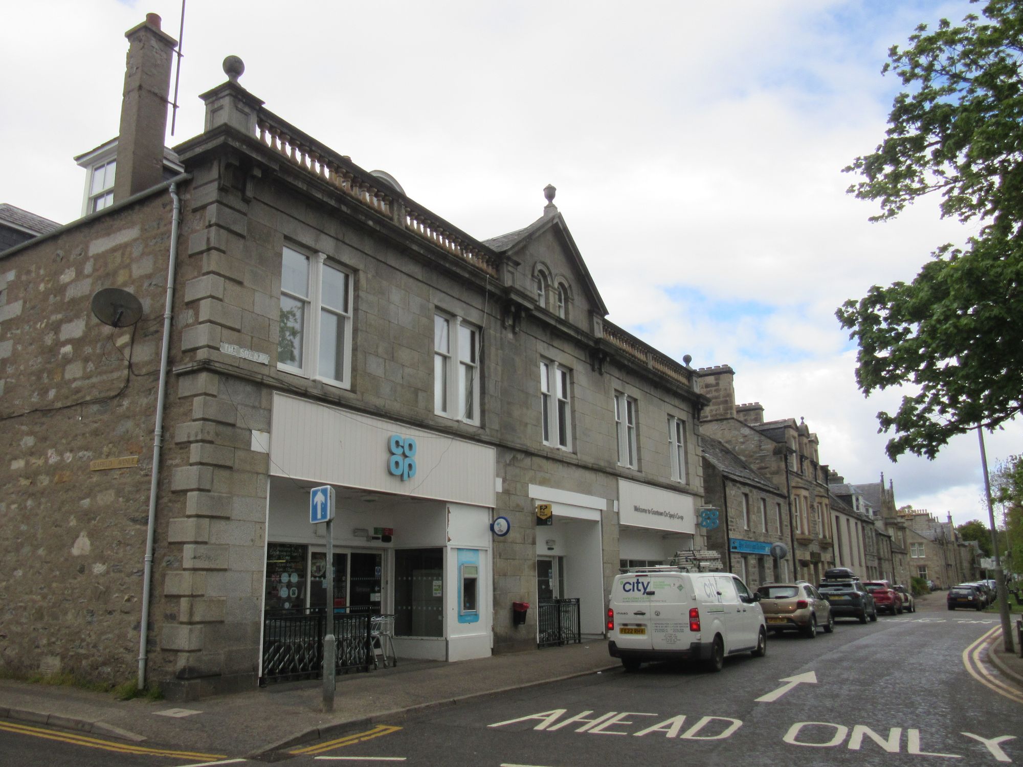
Into Grantown-on-Spey.
I had a minor panic when the hardware shop I'd expected to have EN-417 gas cannisters was out of stock (although still with plenty of other types of cannisters); fortunately the country pursuits store across the road did have them, and I was also pleased to pick up some thermal leggings to wear overnight as I was finding my sleeping bag wasn't quite as warm as I'd have liked for the unexpectedly cold nights. With equipment sorted, I devoured some fish and chips before doing a big shop at the CoOp; I'd be out for 4 nights before my next chance to resupply at Torphins.
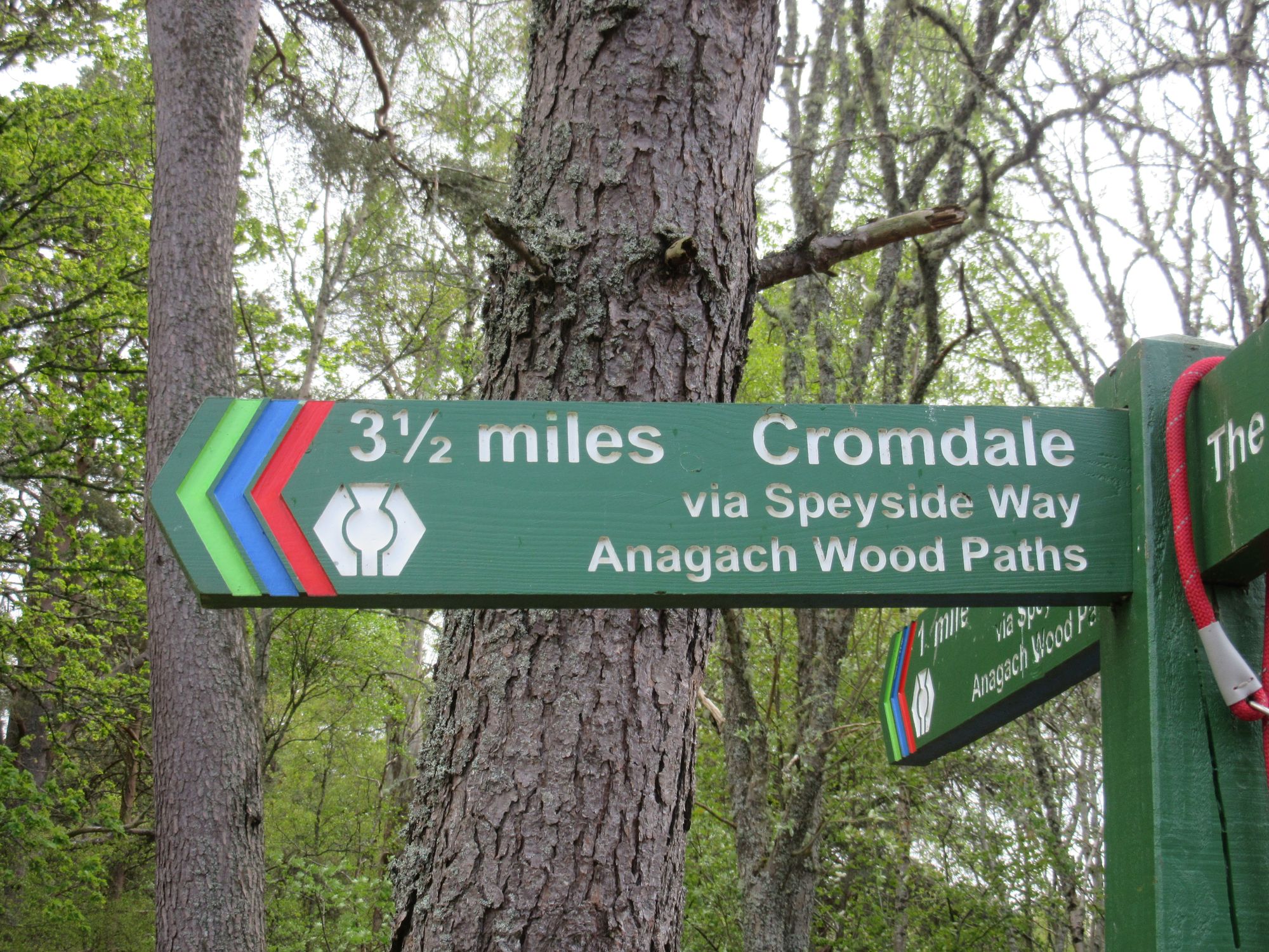
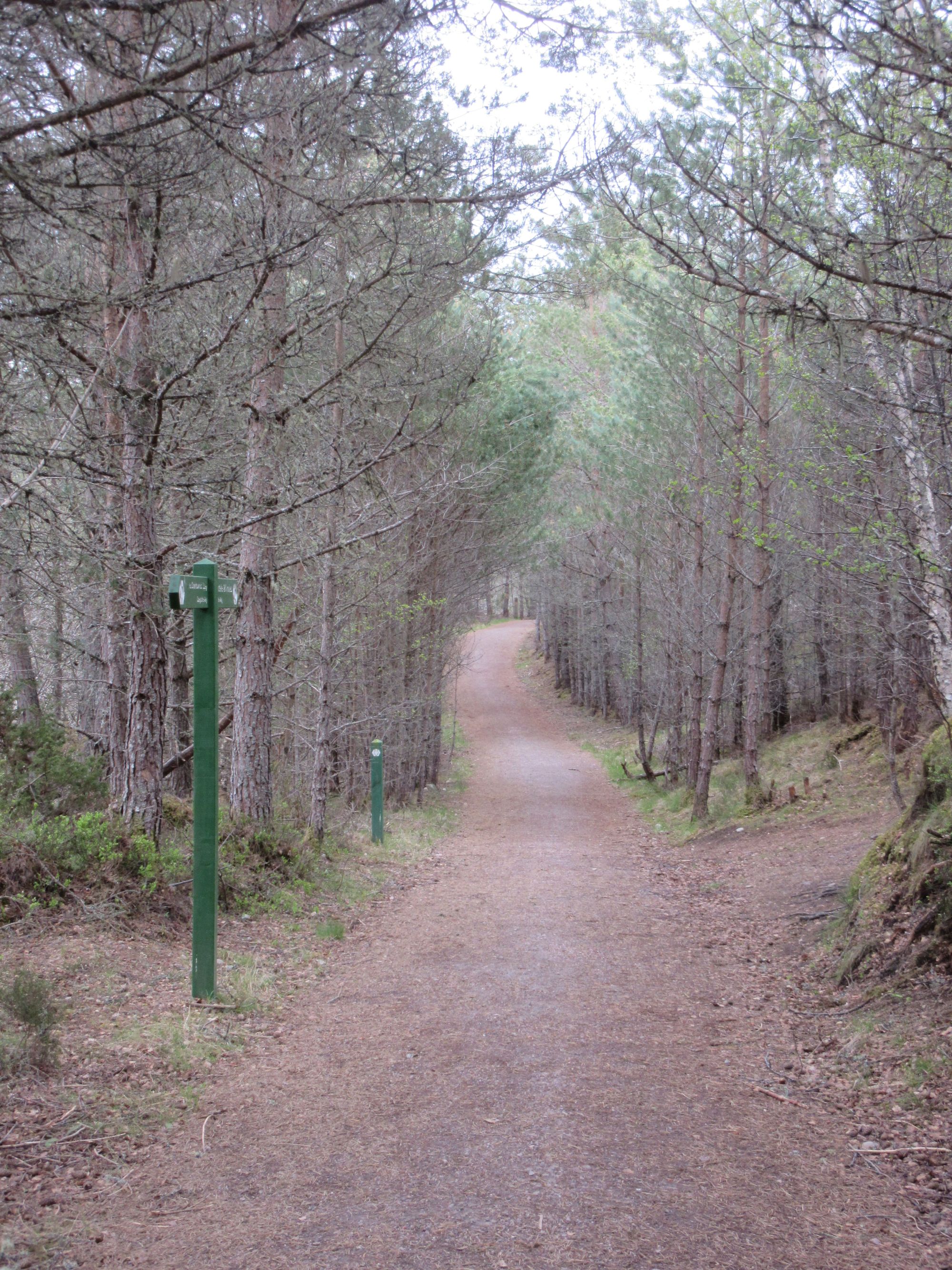
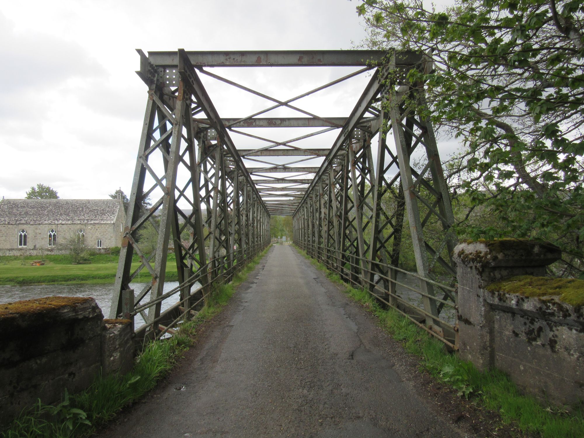
Along the Speyside Way to Cromdale.
From town I headed along the Speyside Way through woods and then across the river, leaving it to pass through Cromdale and then Lethendry farm. All the signage seemed to be leading me up to a ruined castle and a viewpoint on Lethendry Hill, but from there I was able to get across fields (evading some inquisitive cattle) to the track around the south side of Claggersnich Wood. Despite it being quite windy, I was hopeful a high camp might be feasible and drew water from the Allt na h-Eirigh before continuing up the track to the "Coronation Cairn" (1902) which sits on the Cromdale Hills between the two Graham summits.
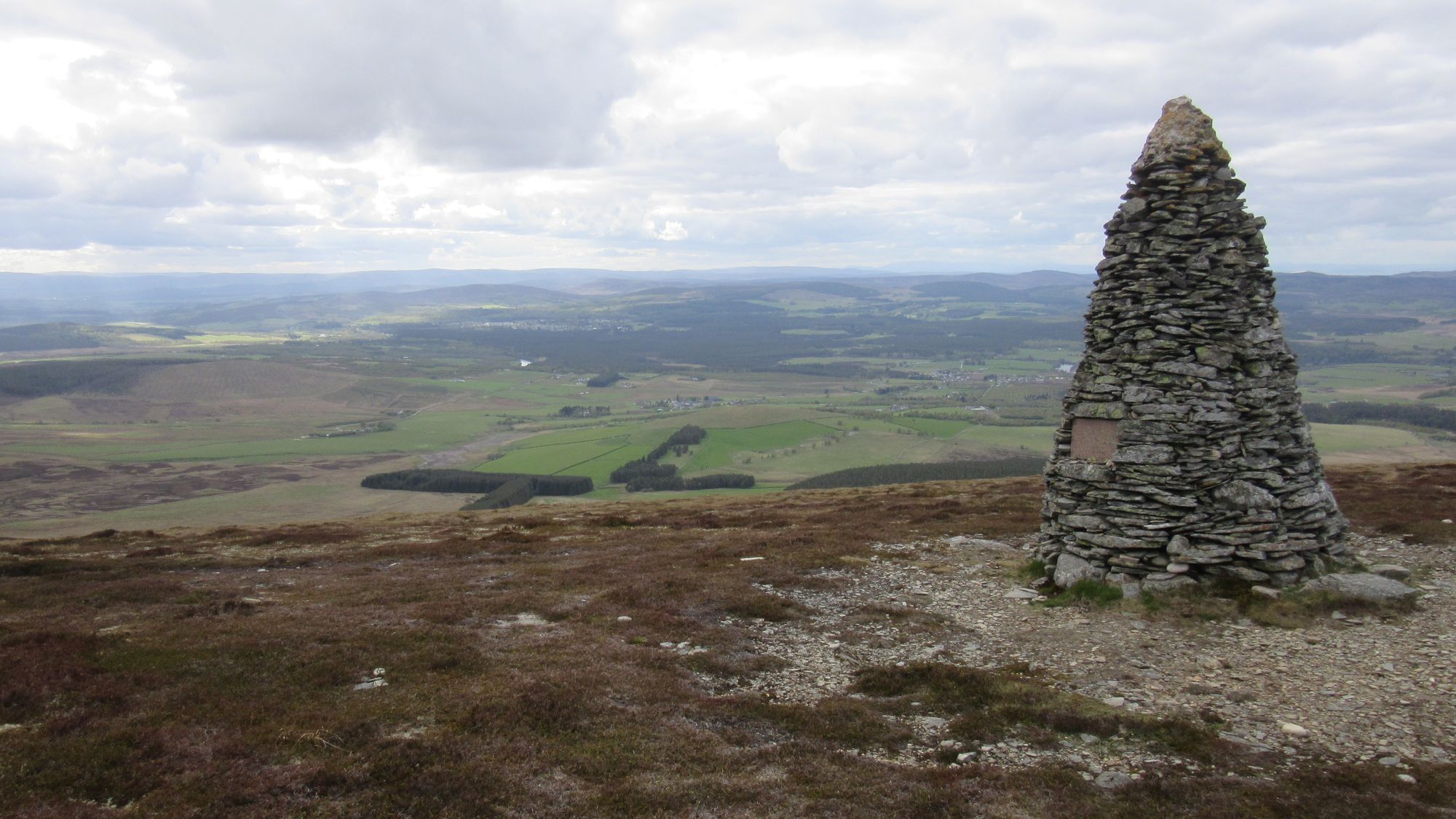
The "Coronation Cairn" on the Cromdale Hills.
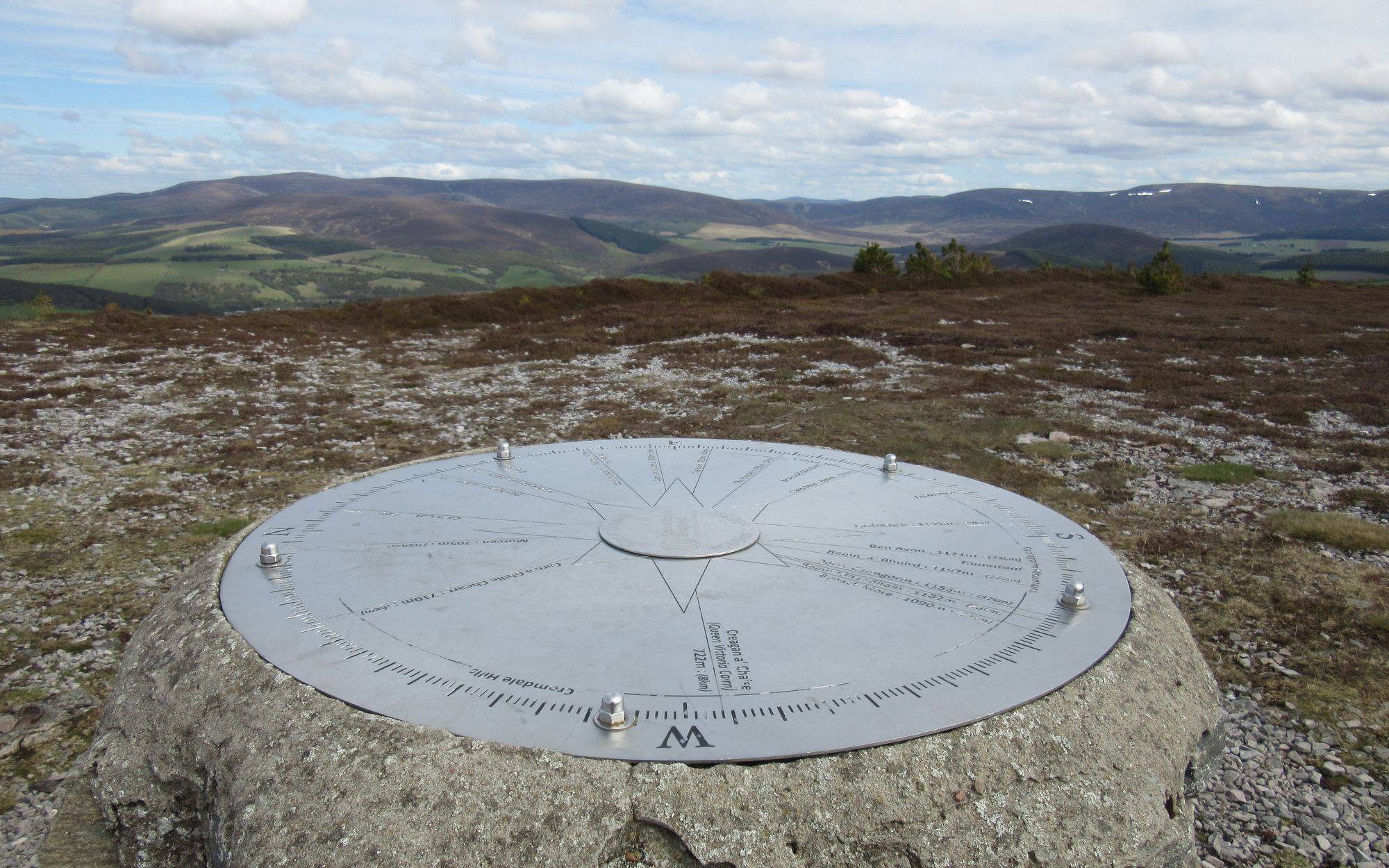
From there I headed along the ridge south-west to the nearest summit of Creagan a’Chaise. There were fine views of the snowy Cairngorms to the south but it was too windy for a summit camp so I returned to pitch on the lower ground back near the Coronation Cairn where the wind was more tolerable.
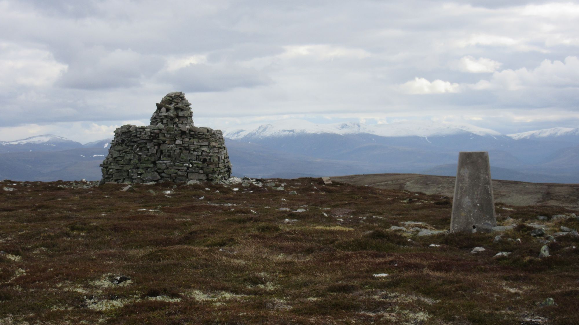
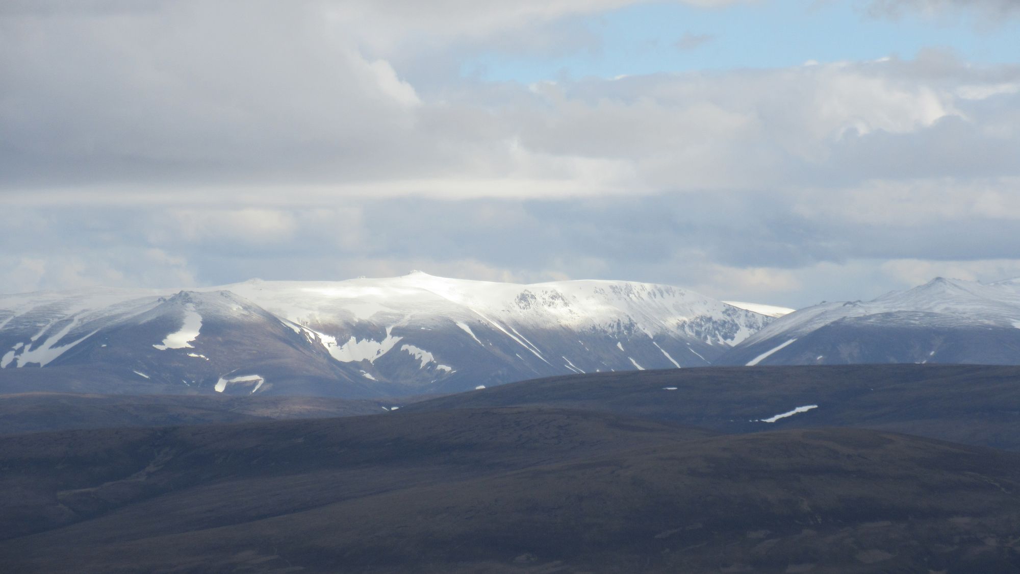
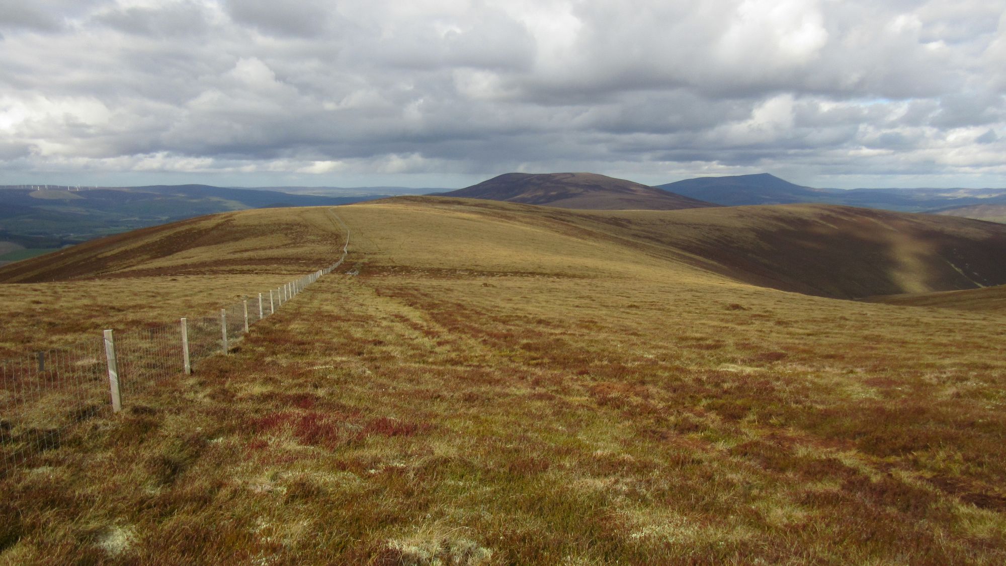
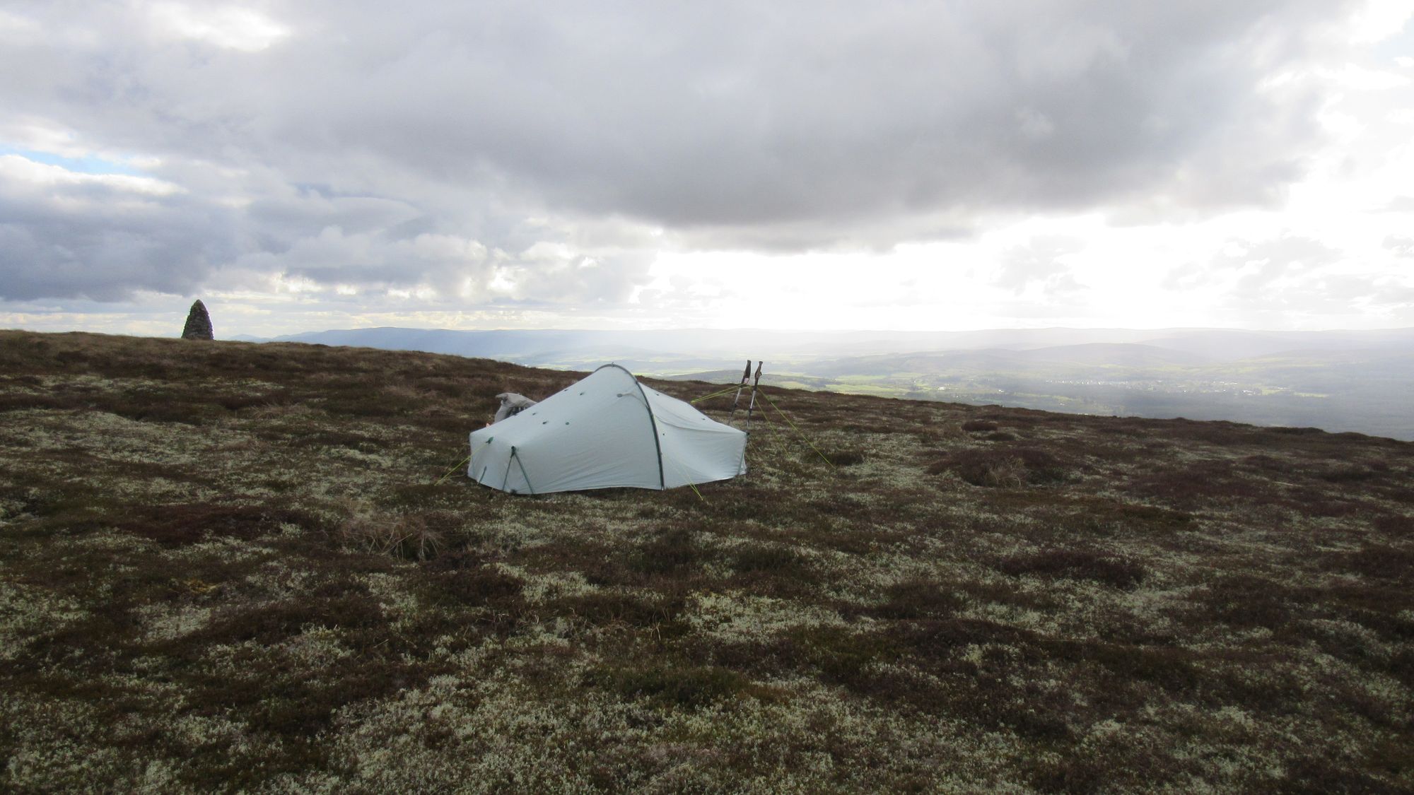
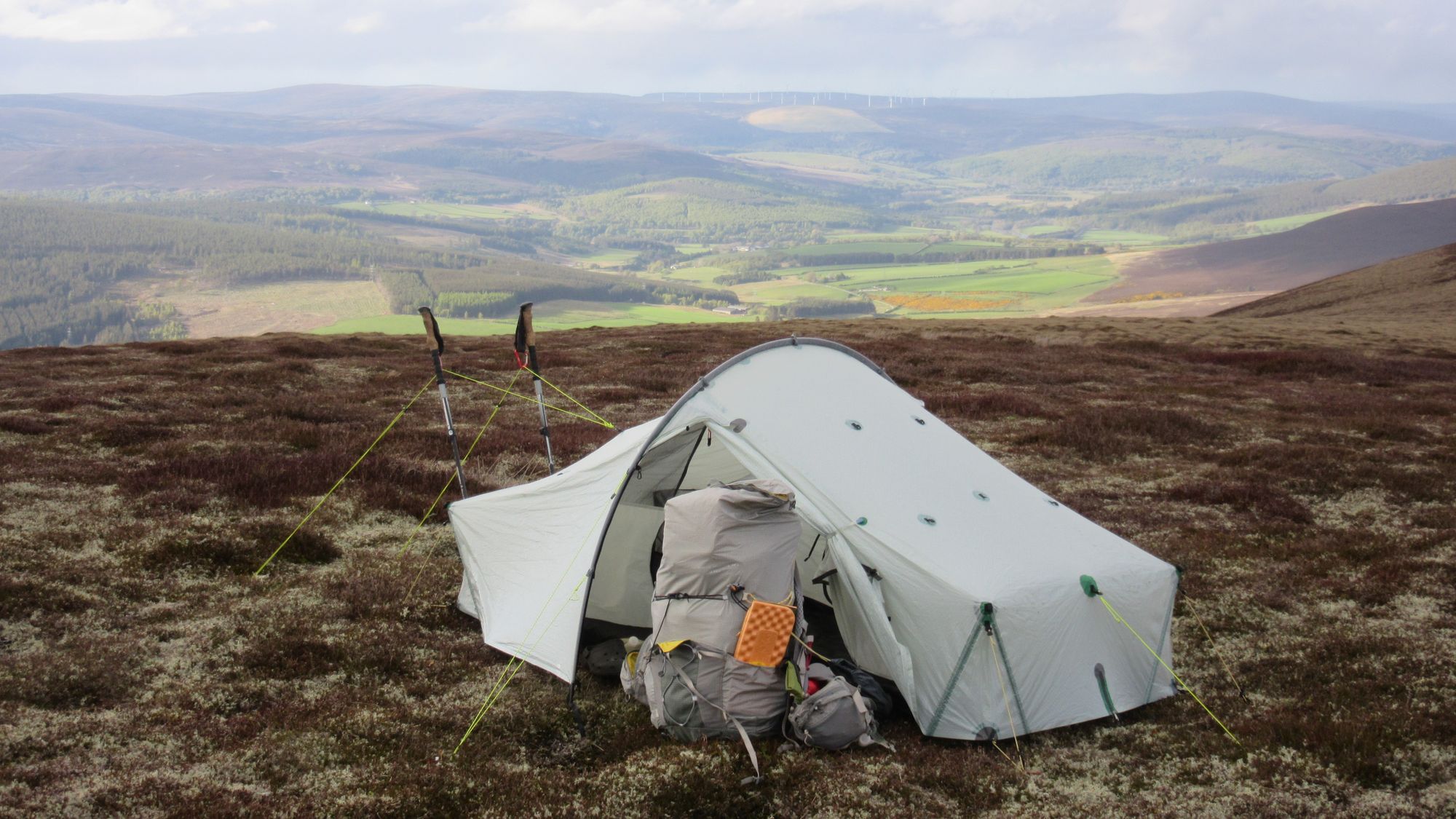
Out and back to Creagan a’Chaise, then a camp near the Coronation Cairn.
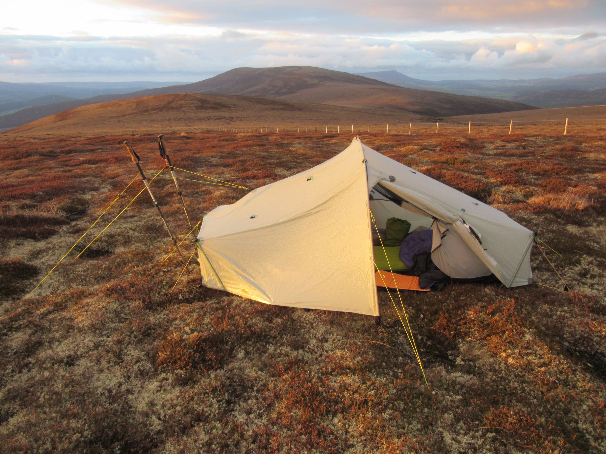
Day 9: Cromdale Hills to Knochkan
Coronation Cairn - Carn a Ghille Chearr (G;710m;#8) - backtrack and descend by path/track S of Knock Burn - Knock - B9136 - Ballenlish - Ardgieth - forest tracks - Carn Daimh (570m) - Westertown - Tomnavoulin – road N then track S of River Livet – Knochkan
I was woken by big fat flakes of snow splatting onto the tent but it only lasted a few minutes. After packing up I headed for the other Graham summit at the north-east end of the Cromdale Hills ridge, and then returned from that to a point where I could drop off down a faint path and then a track to Knock in Strath Avon.
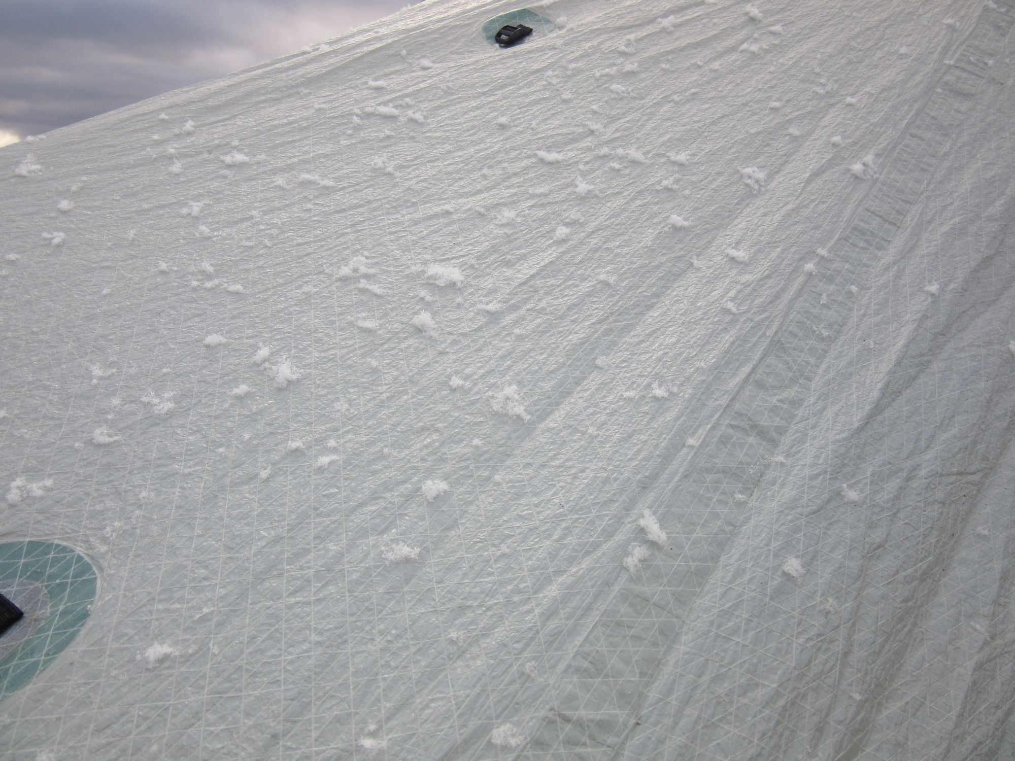
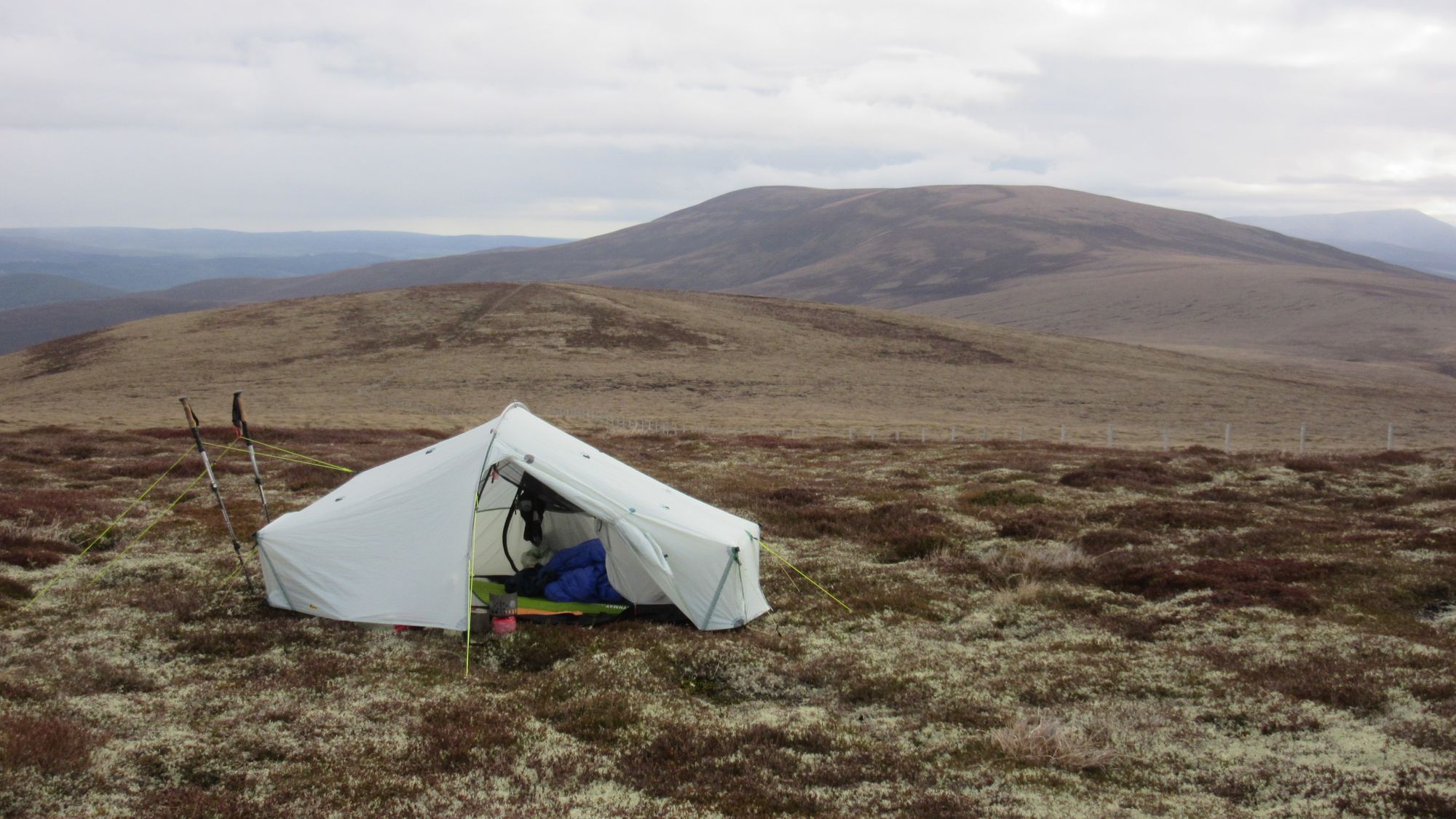
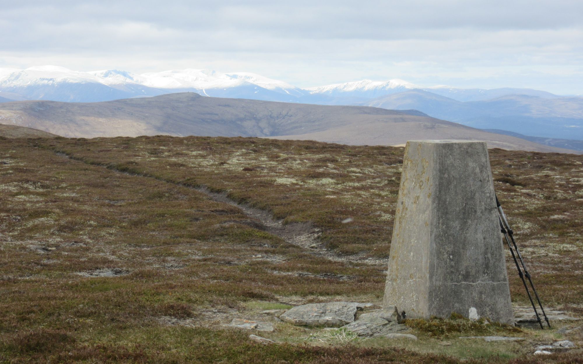
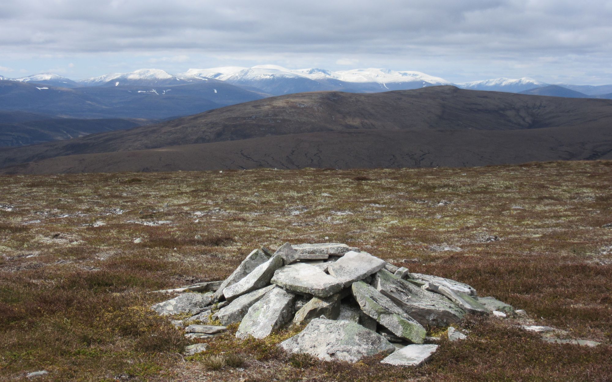
A visit to Carn a Ghille Chearr before descending off the Cromdale Hills.
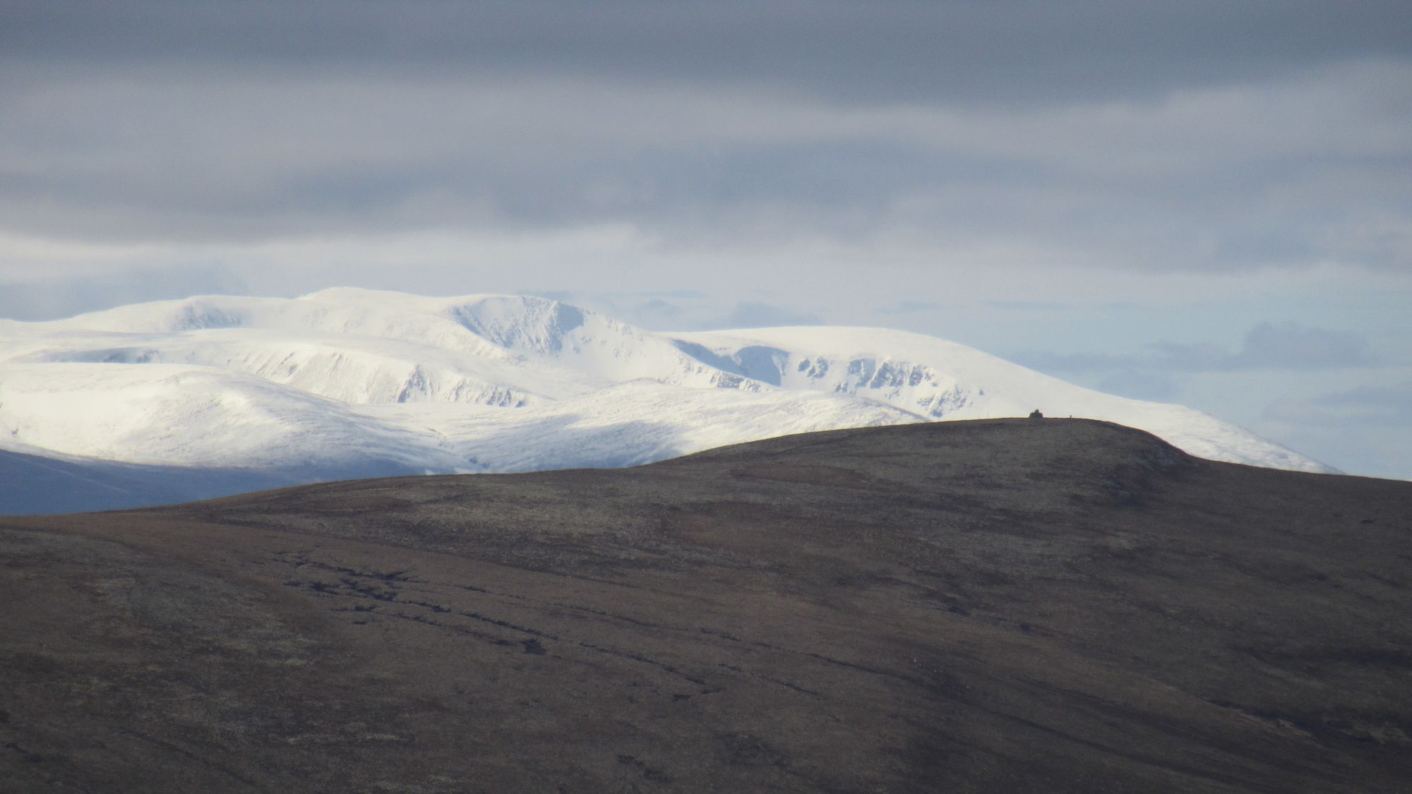
The main Cairngorm range to the south was looking quite a bit snowier!
Some signage from the Glenlivet Estate showed a recommended route into and through forestry popular with MTBers and up to the summit of Cairn Daimh (with a useful picnic table for a lunch stop), from where I headed down to Tomnavoulin and its distillery.
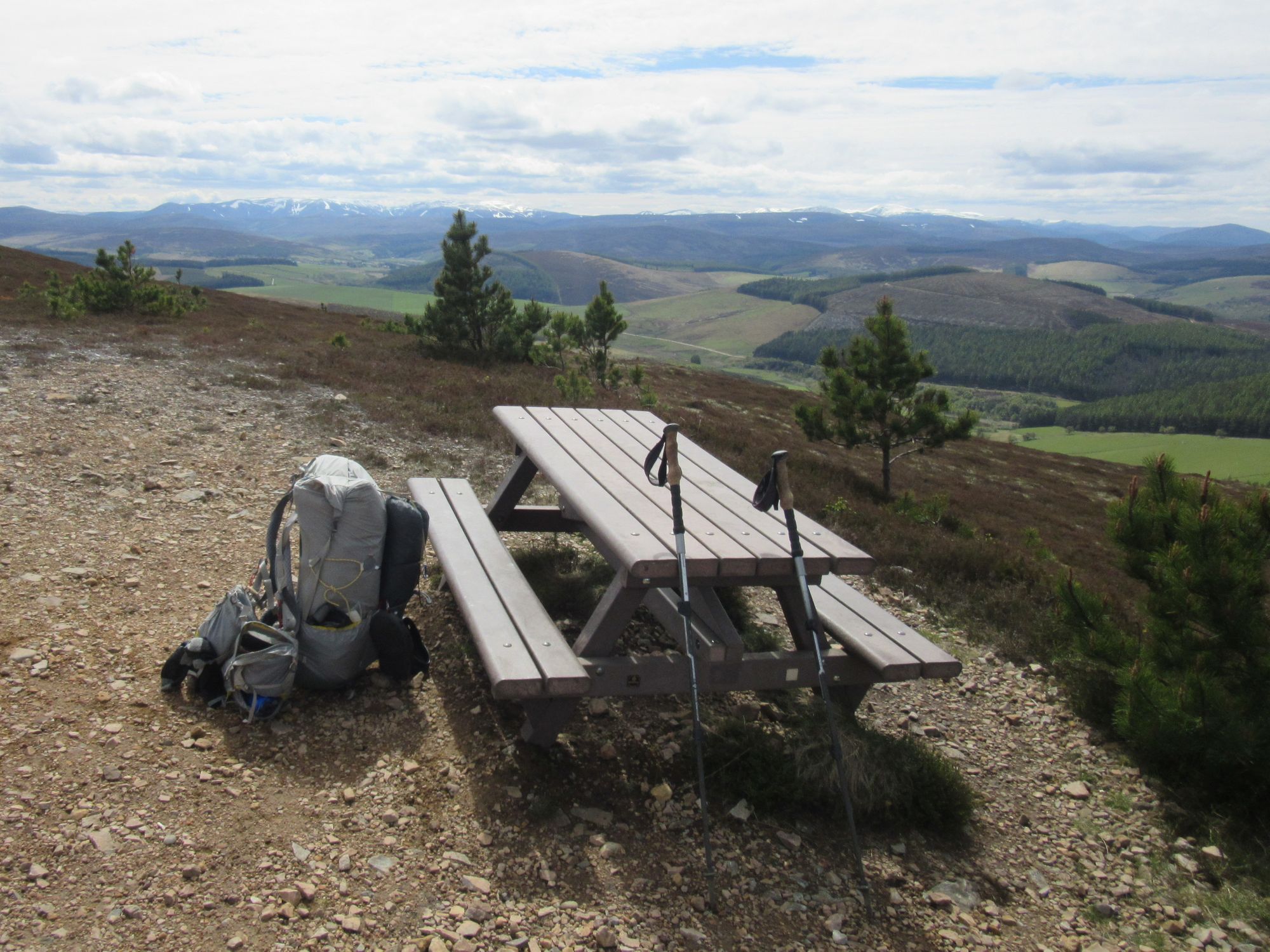
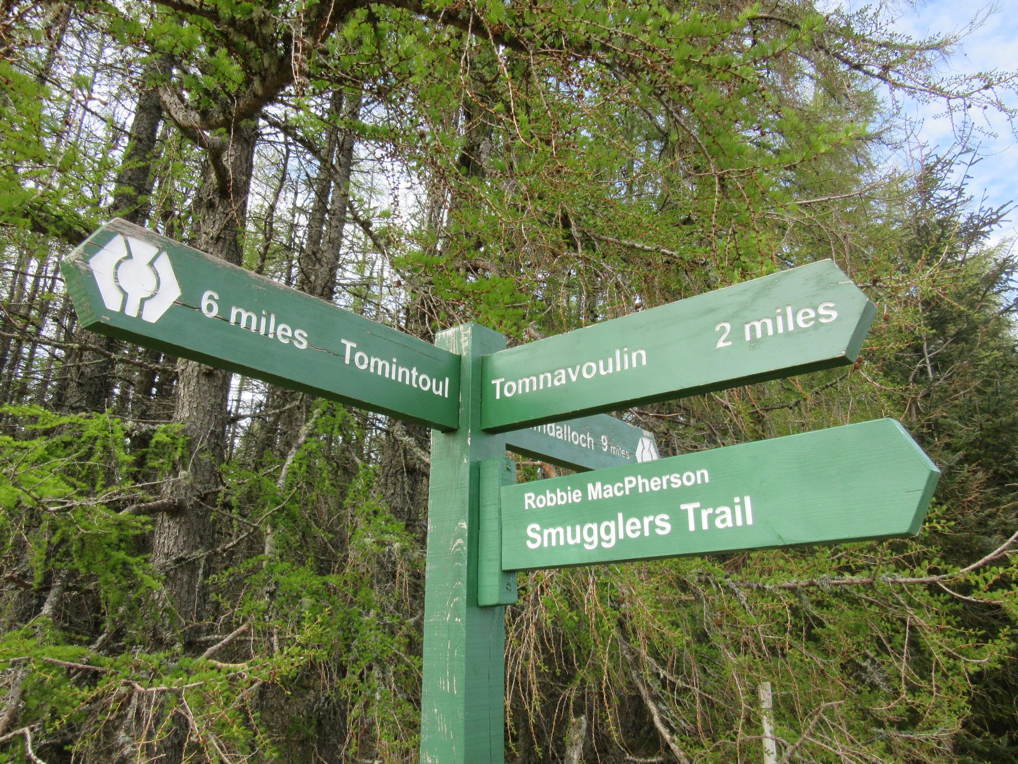
Over Cairn Daimh.
Some dull tarmac bashing followed on a road running along the north side of the River Livet, but eventually the road gave way to farmland tracks and in country feeling increasingly wild and remote I reached the buildings at Knochkan, which my route vetter had informed me might be useful as a basic shelter. This was a bit of an understatement as it was far more luxurious! Later some locals in a 4WD dropped in to check on the place and drop some firewood off which was much appreciated.
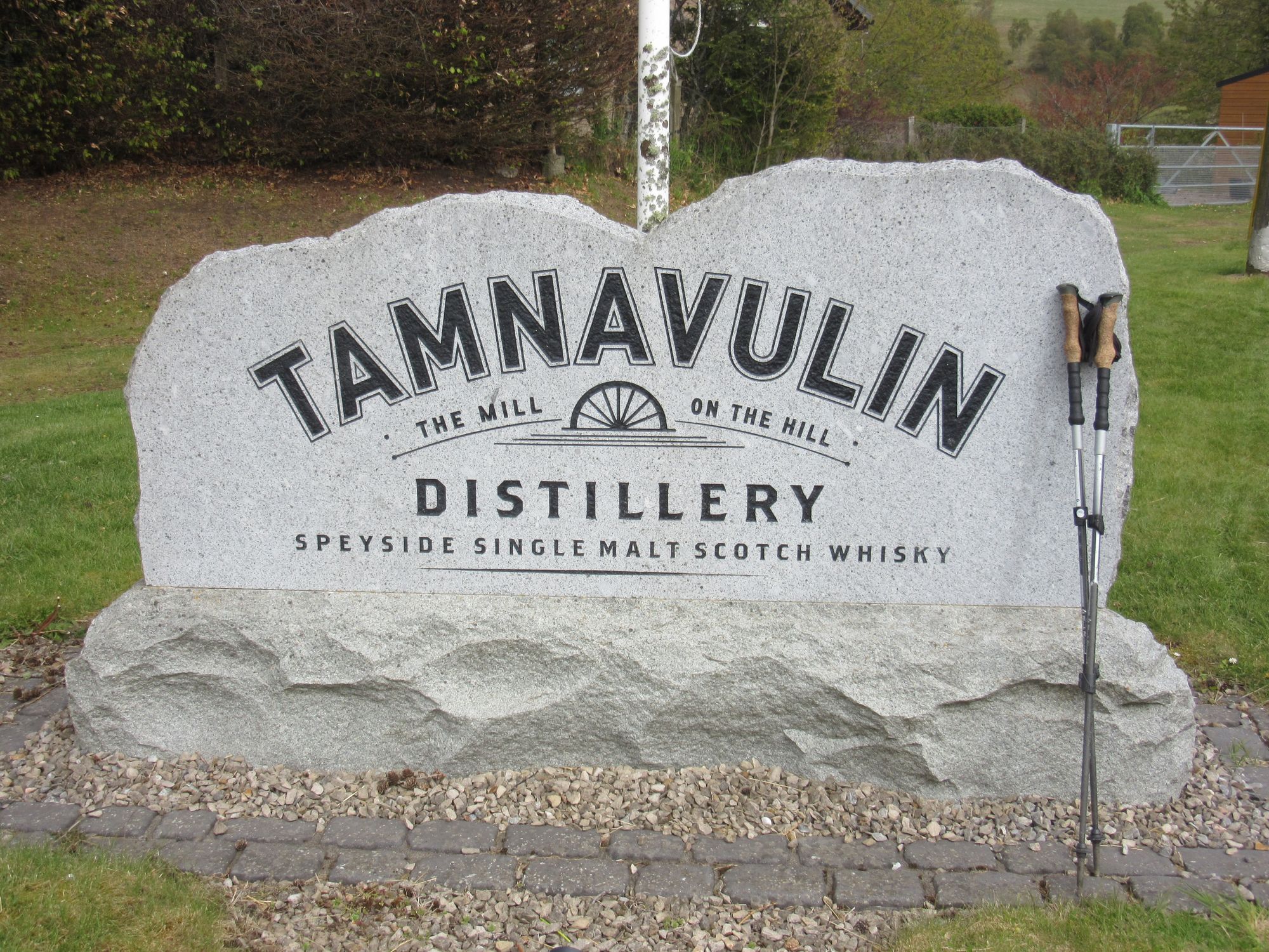
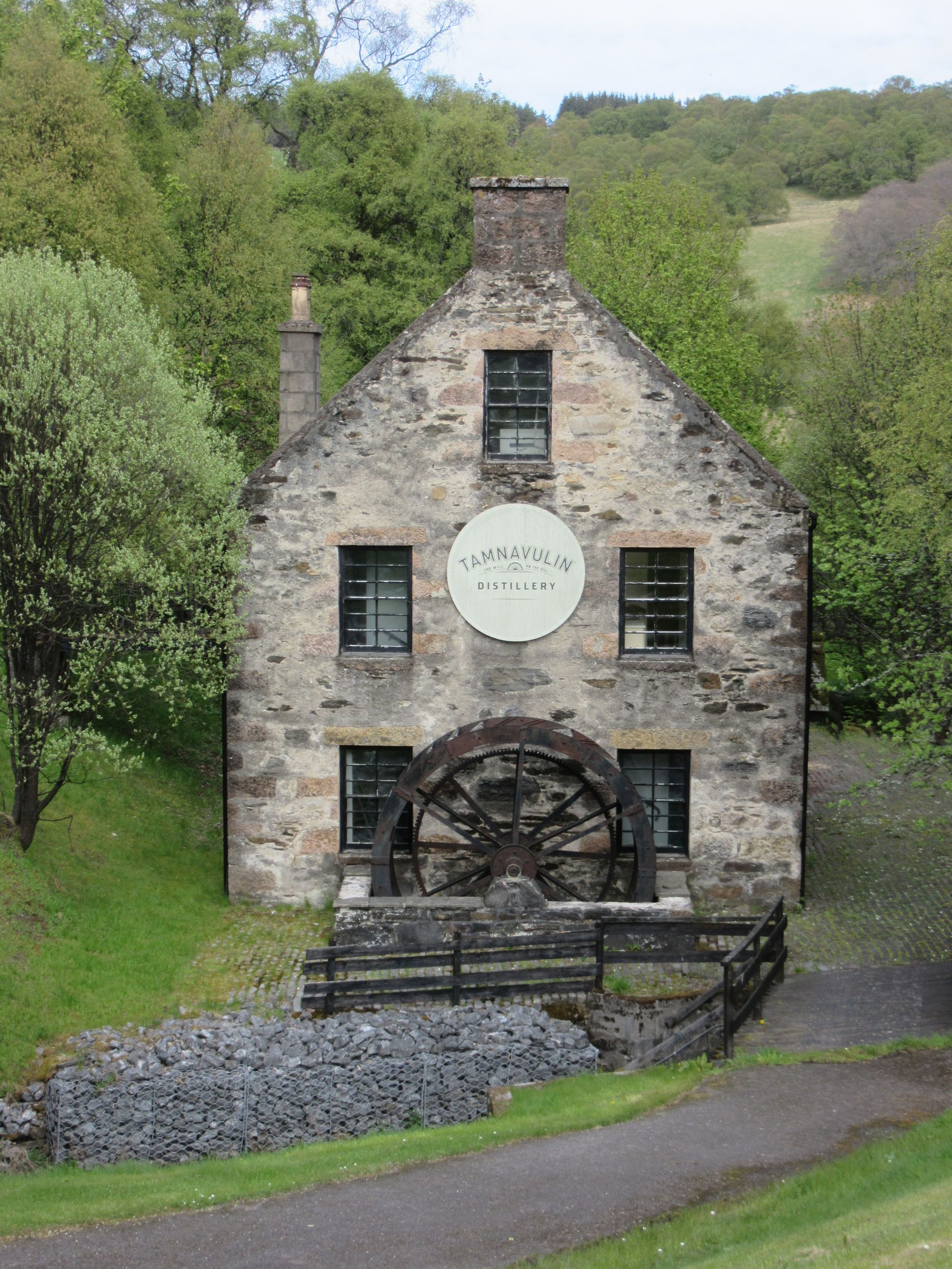
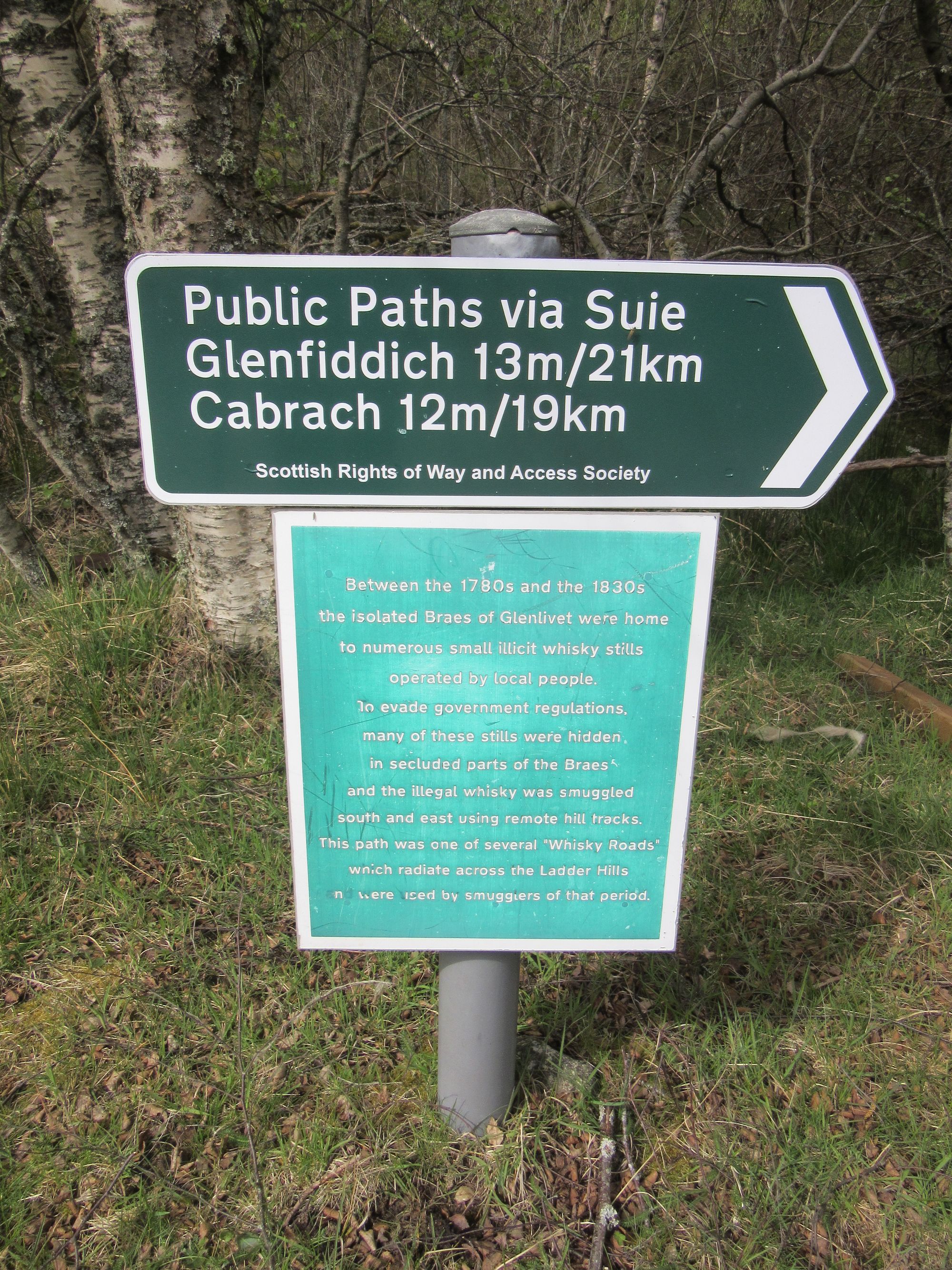
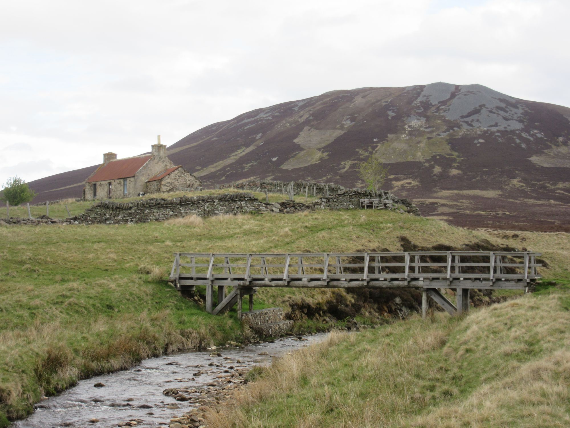
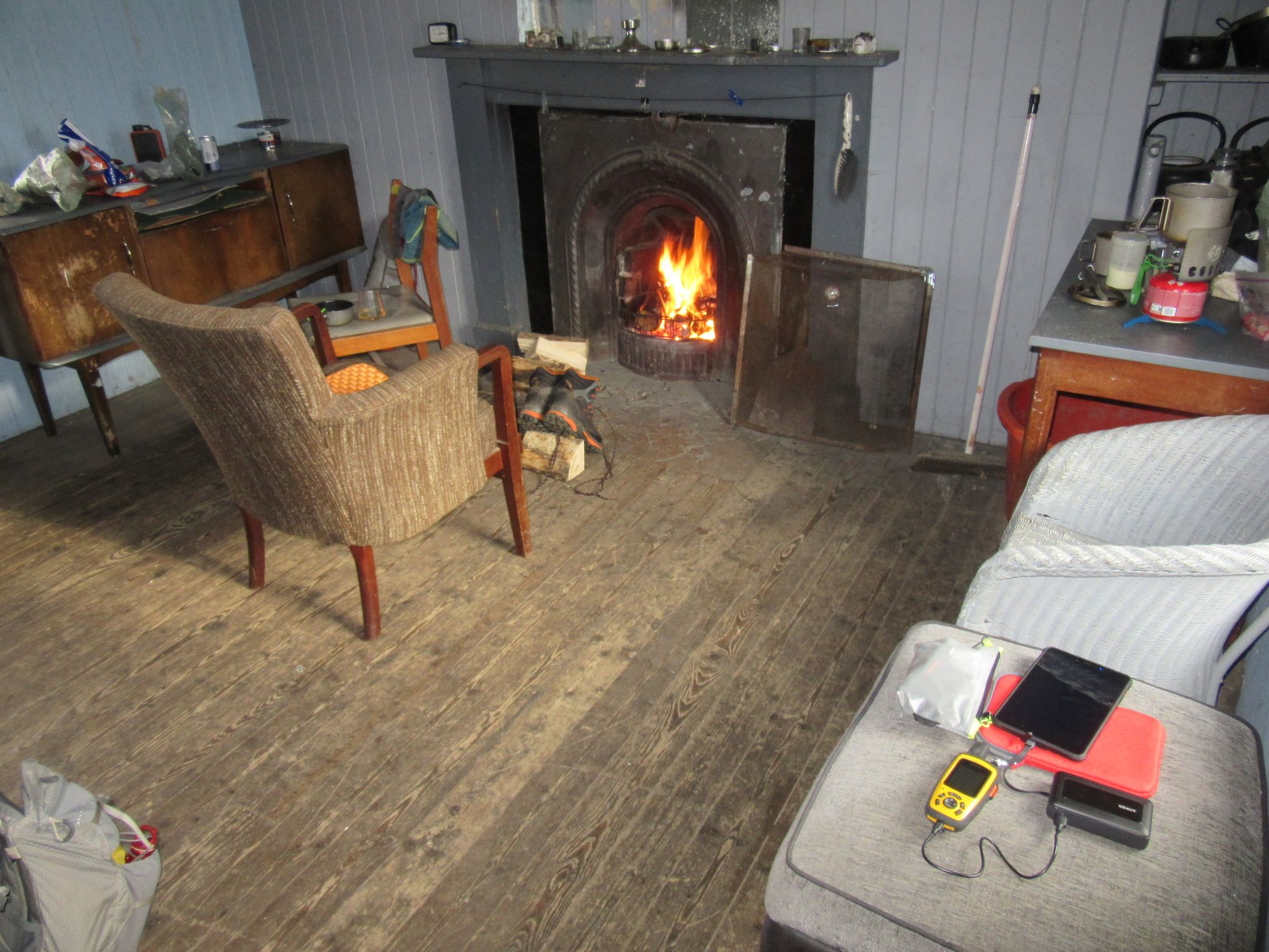
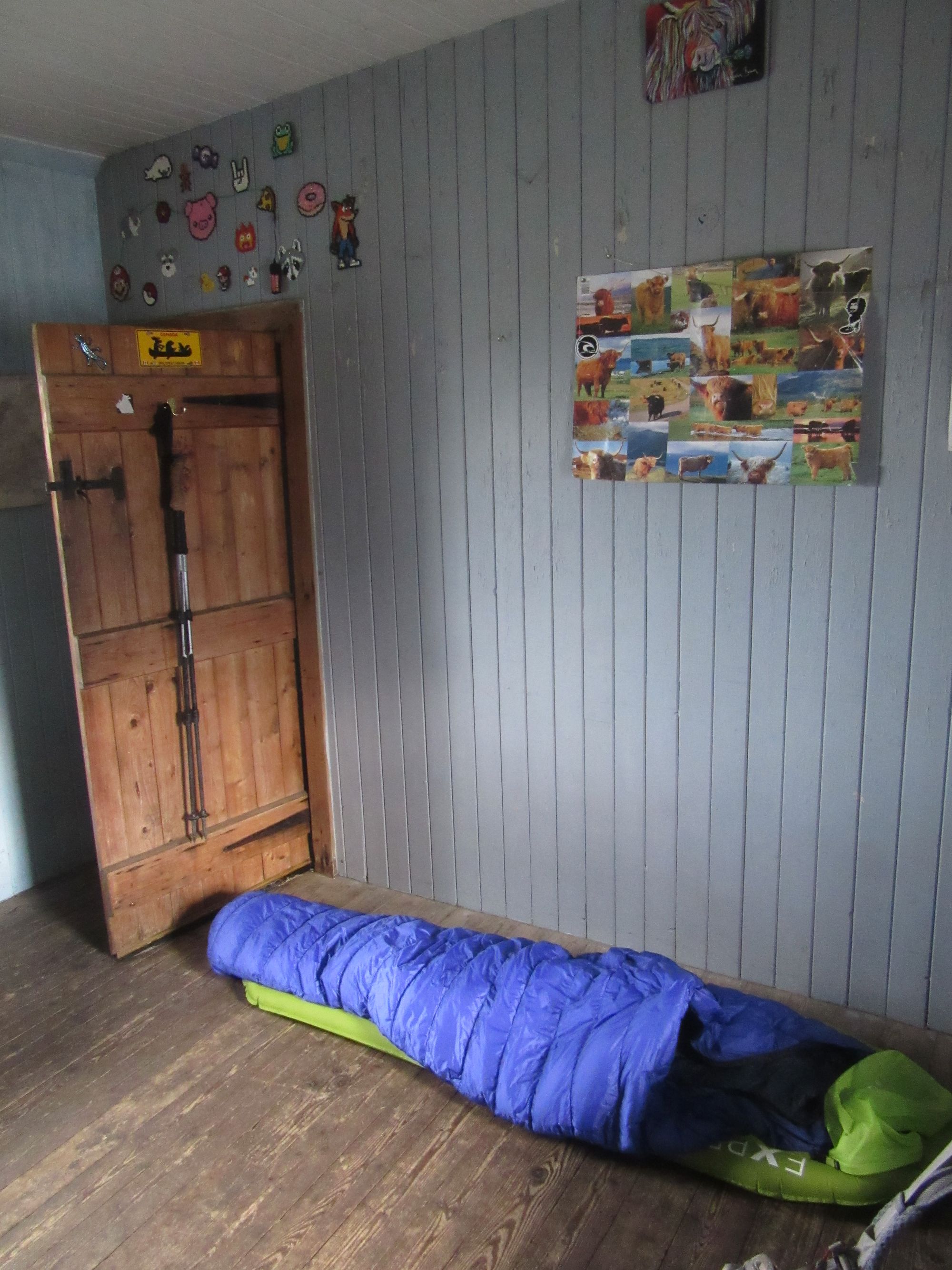
Tomnavoulin to Knochkan.
Day 10: Knochkan to W of The Buck
Knochkan - Cook’s Cairn (G;755m;#9) - Dead Wife’s Hillock - Cabrach - Burn of Smallsaughs
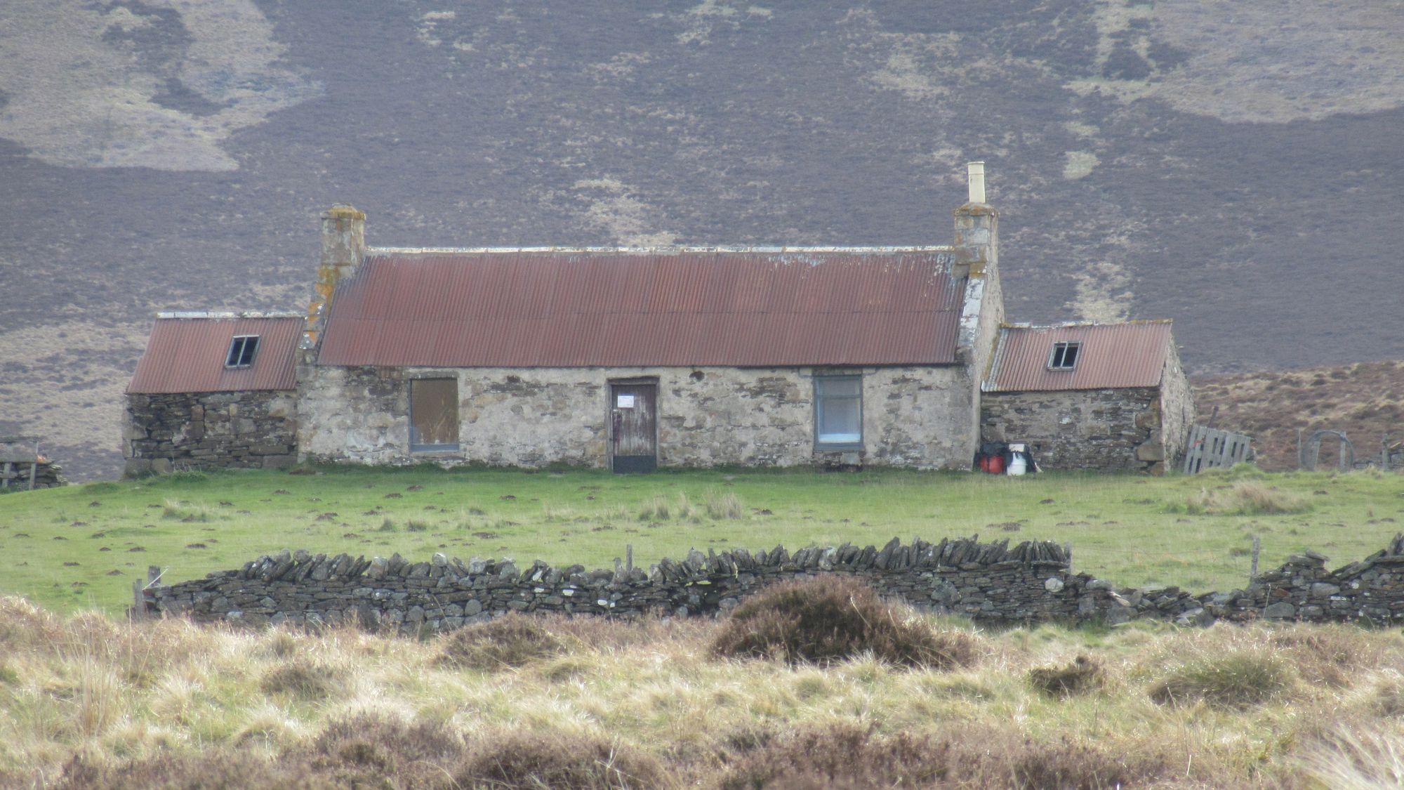
Unlike the previous bothy I'd stayed in, this one had working curtains on the windows and I didn't wake up until 7am. I passed the other buildings at Suie (those are in a far worse state than Knochkan) and climbed up tracks to Cook's Cairn.
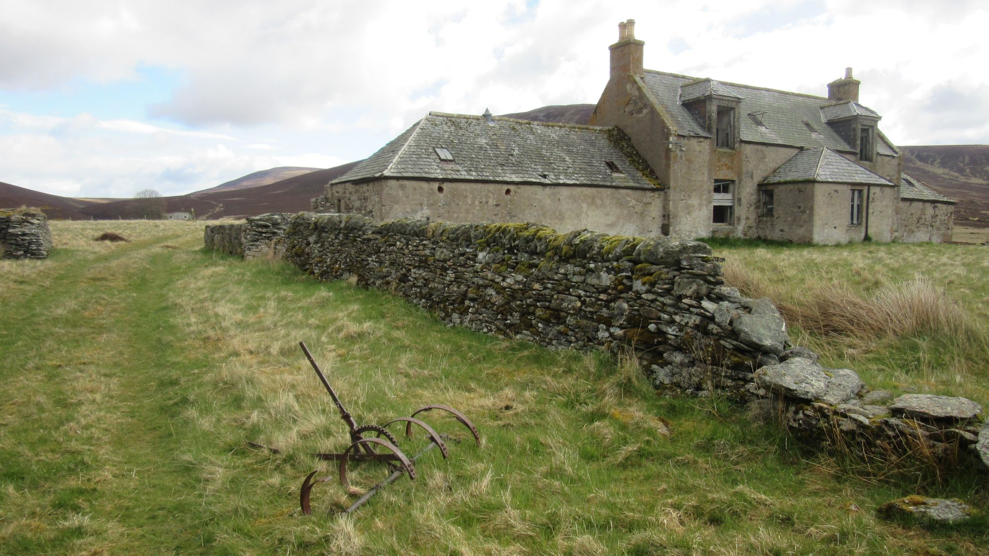
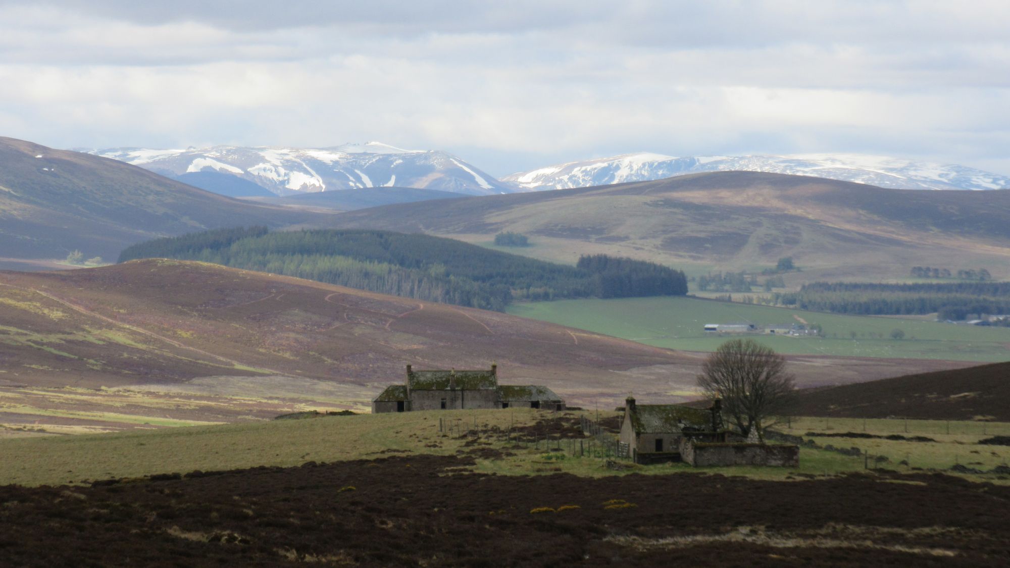
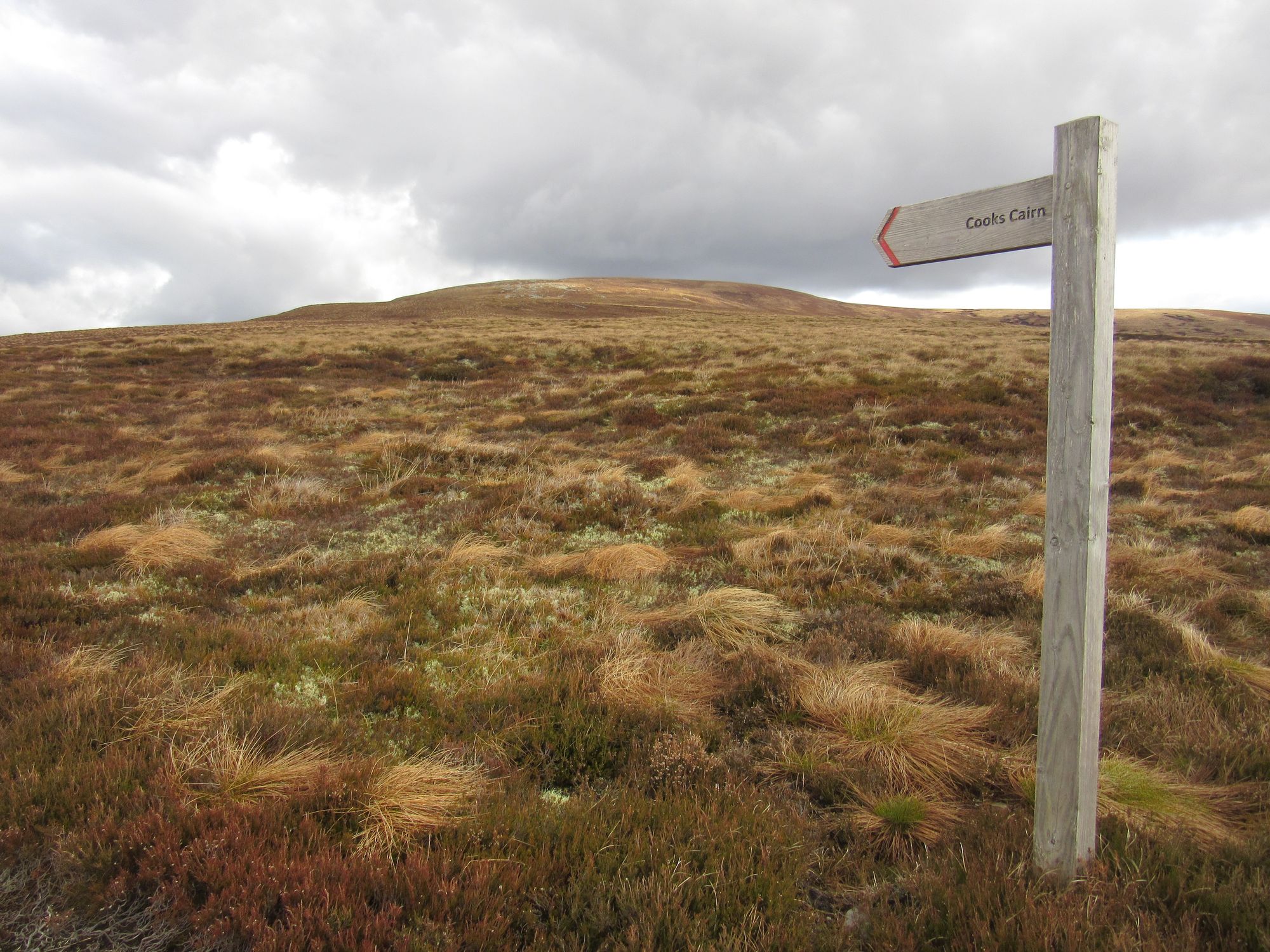
Climbing past the buildings at Suie to Cook's Cairn.
Descending through the windfarm (a huge herd of deer fleeing in front of me) led me down to cross the Black Water (easy) and then up over Dead Wife's Hillock (what a name!) and down to Aldivalloch and Aldunie.
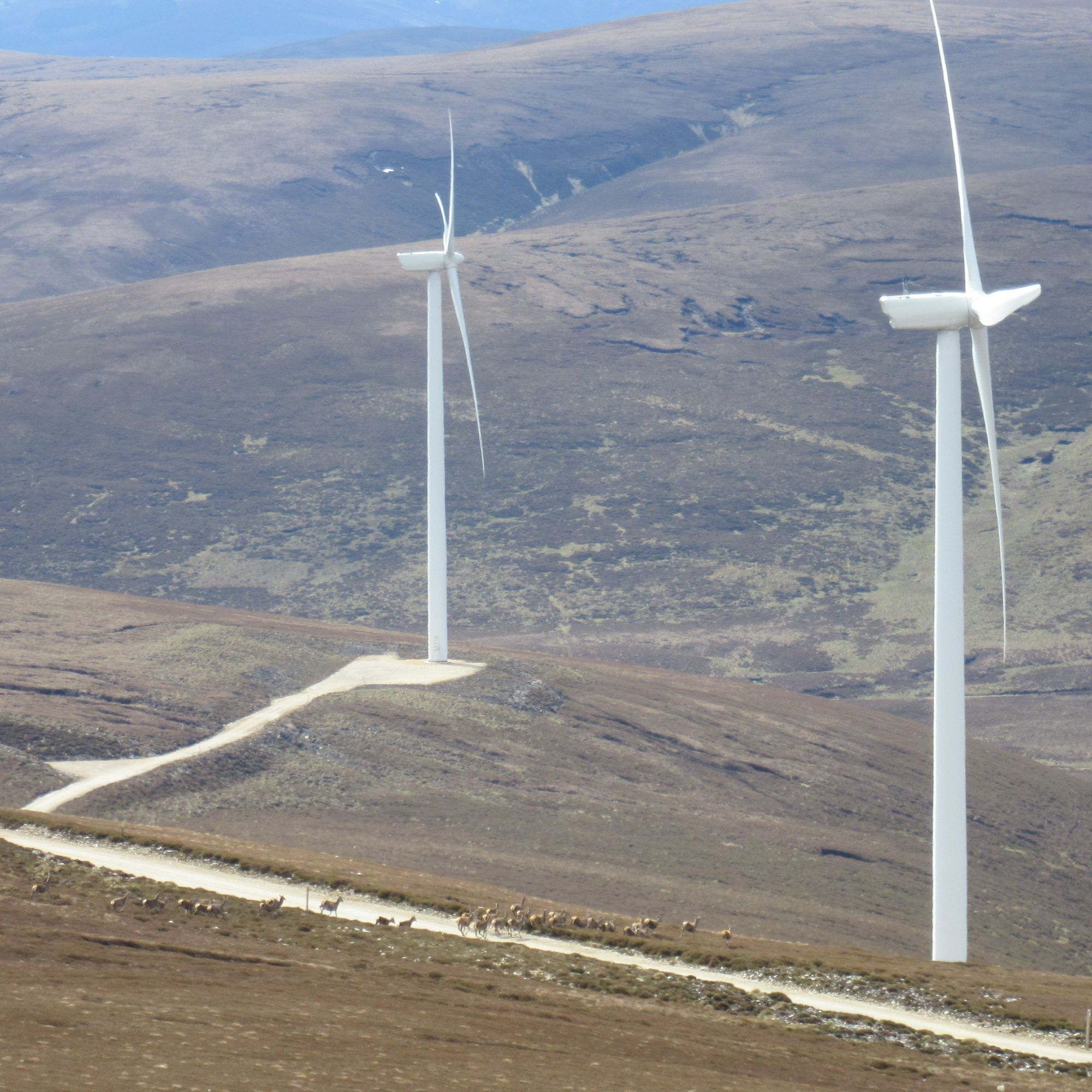
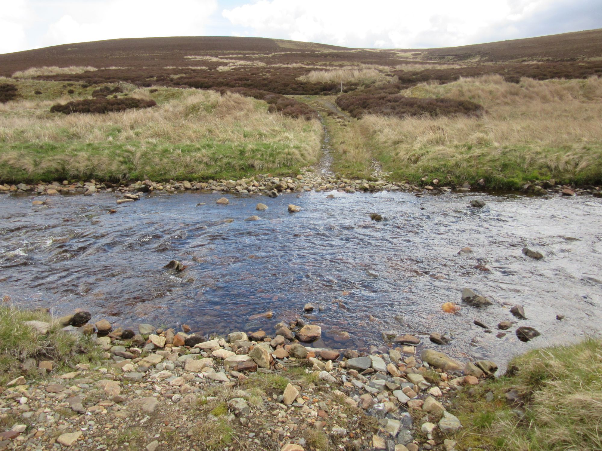
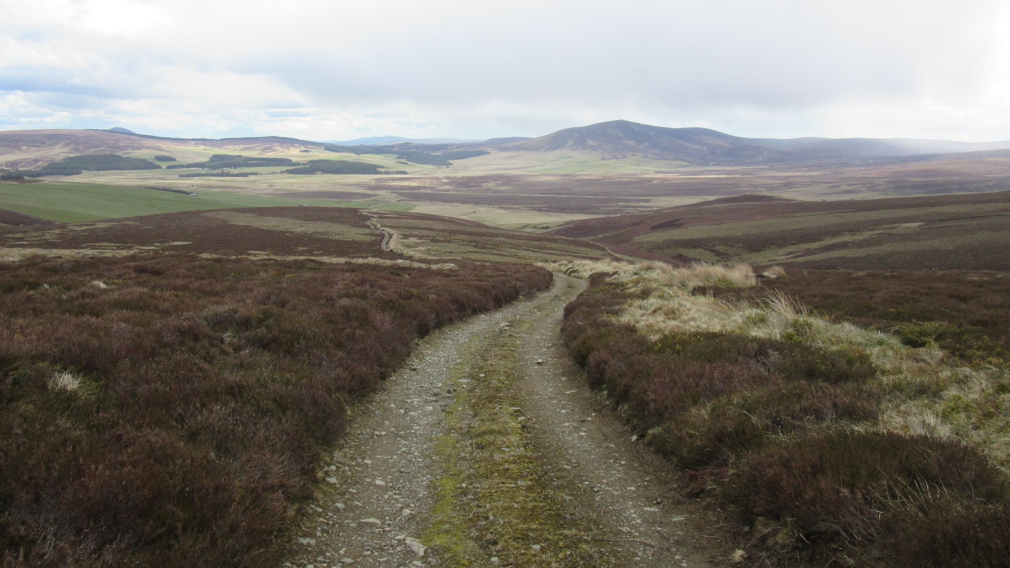
After Cook's Cairn, on the way to The Buck via The Cabrach.
I stopped on the step of the kirk at Cabrach for lunch; there, a single rumble of thunder was the only one I heard all day but was a reminder thunderstorms had been forecast.
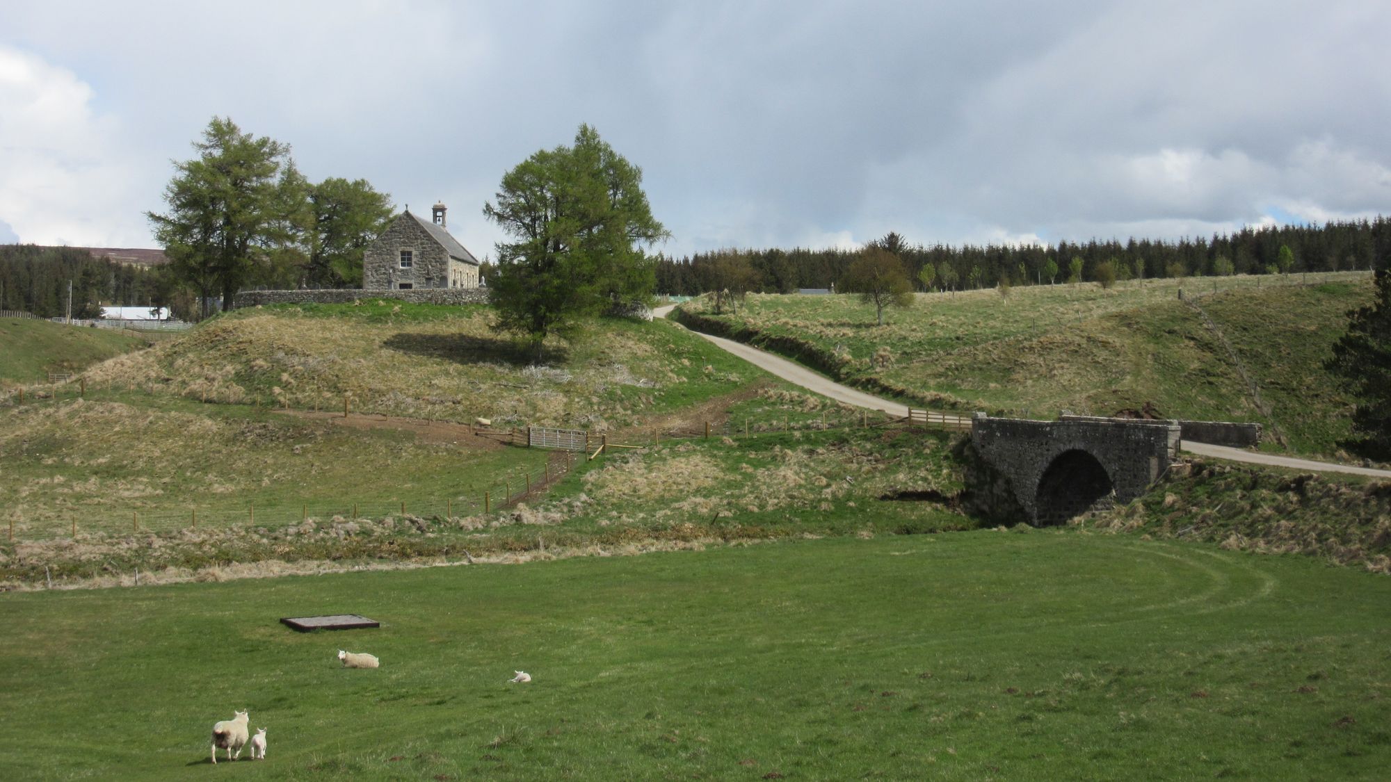
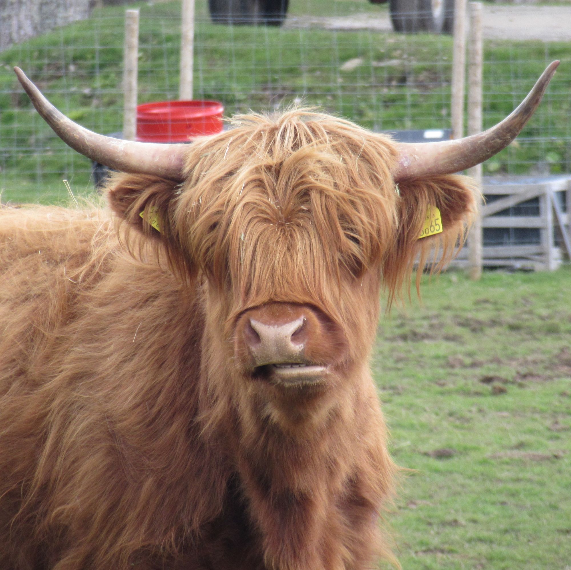
Through Cabrach.
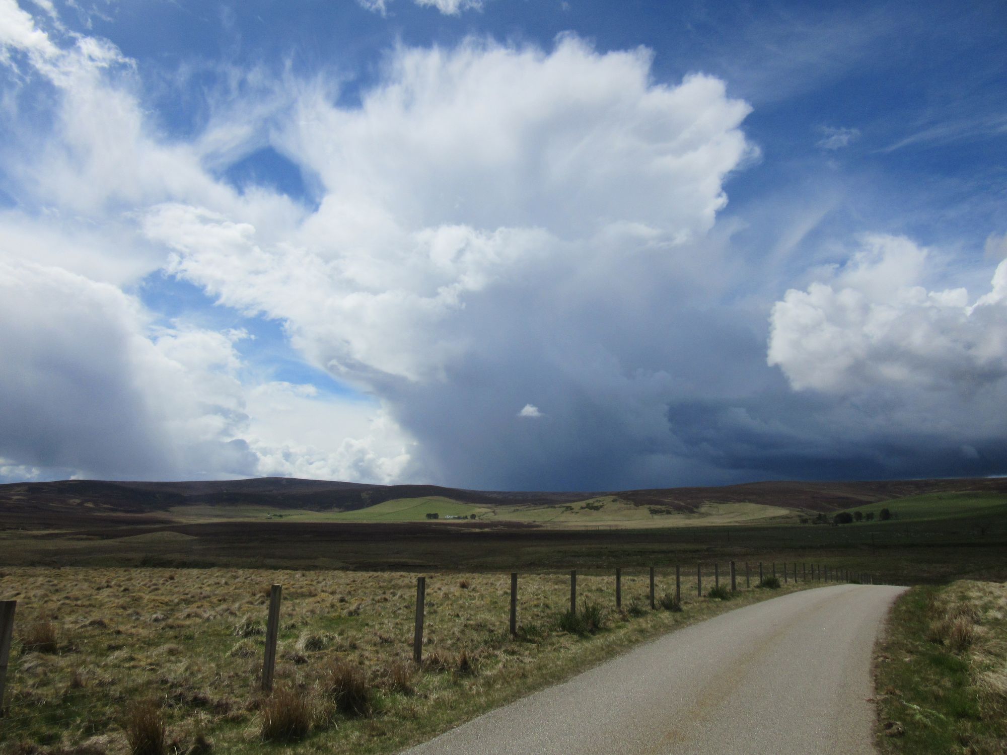
The tracks I'd hoped to take near Cabrach House had unwelcoming signage, so I skirted around it east on the A941 before cutting back south-west on a farm track which took me to Powneed and into well-grazed sheep country. Around the ruins at Bodibae the rain set in.
A summit camp on The Buck - the next Graham on the route - would have been ideal but with the thunderstorms forecast - and the rumble heard earlier and some menacing anvil-shaped clouds around - I wasn't going to chance it. The sheep country was so plastered in sheep droppings it wasn't particularly appealing to stop anywhere, but eventually the track led through a gate into moorland and a little later I found a nice pitch beside the Burn of Smallsaughs near where an ATV track breaks off to run up to the summit of The Buck.
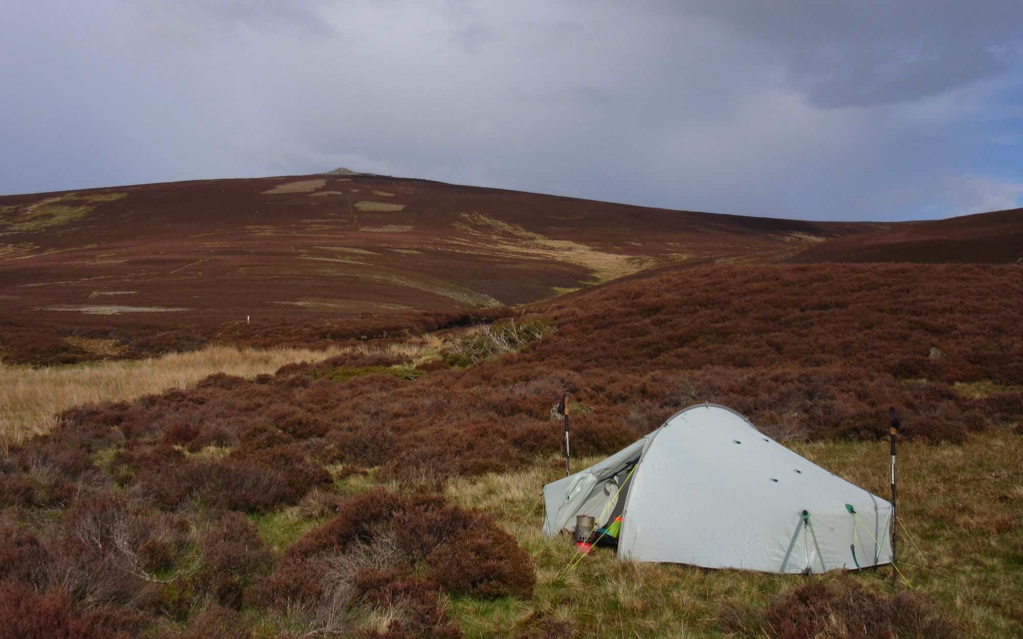
The weather improved, with just one more heavy deluge after I'd got the tent up.
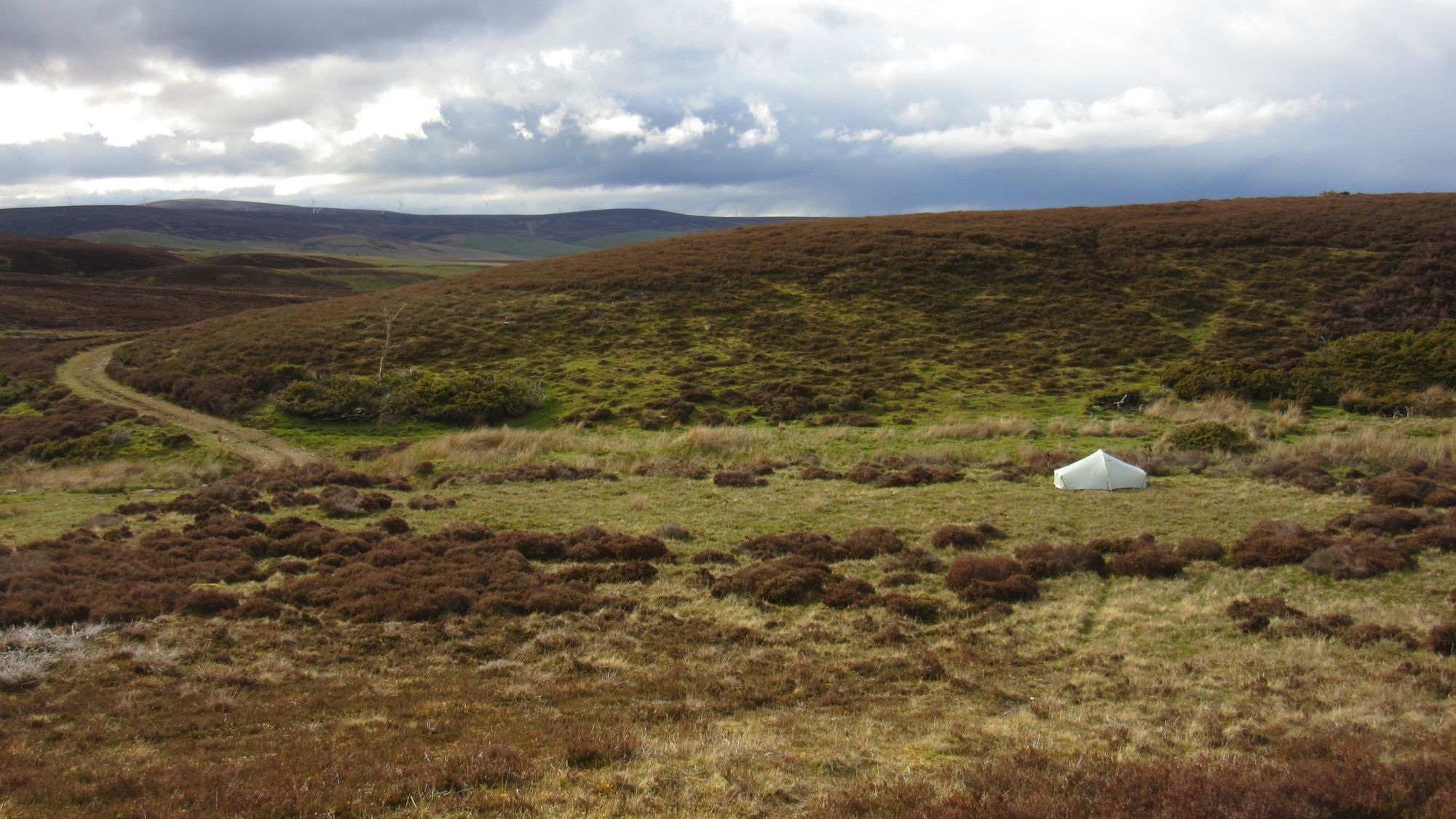
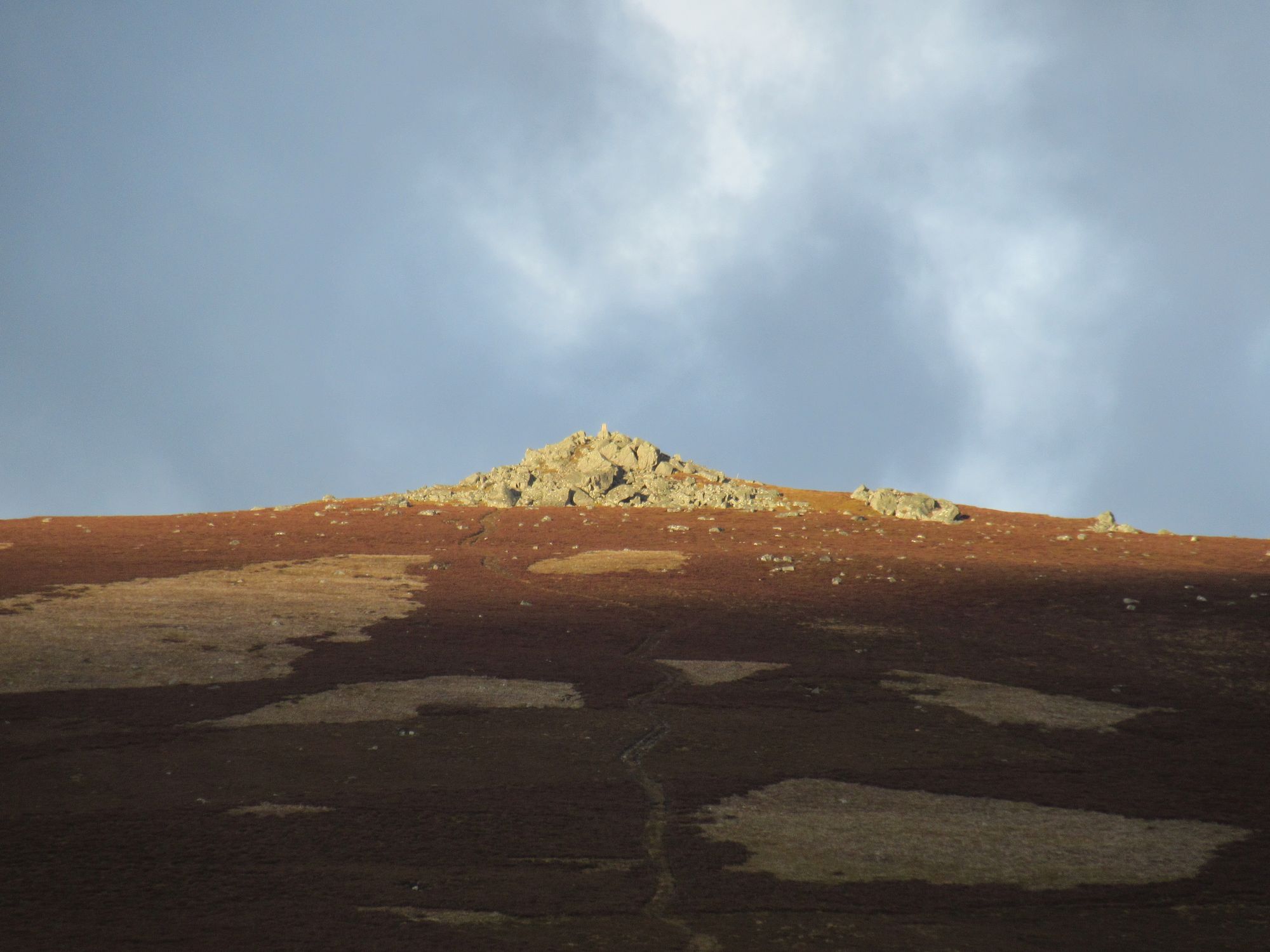
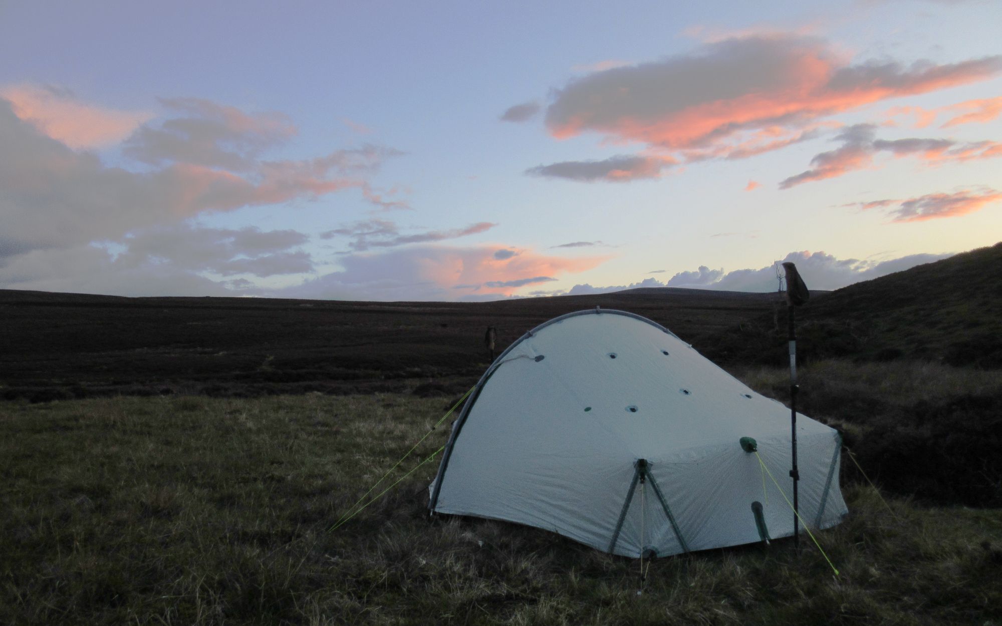
Camped below The Buck.
Day 11: The Buck to Ladylea Hill
Burn of Smallsaughs - The Buck (G;721m;#10) - Hill of Snowy Slack (596m) - Creag an Eunan (633m) - Clachmaddy Hill - Belnacraig - cross Water of Buchat on roadbridge NJ375161 - Clashenteple Hill (579m) - Ladylea Hill (G;609m;#11)
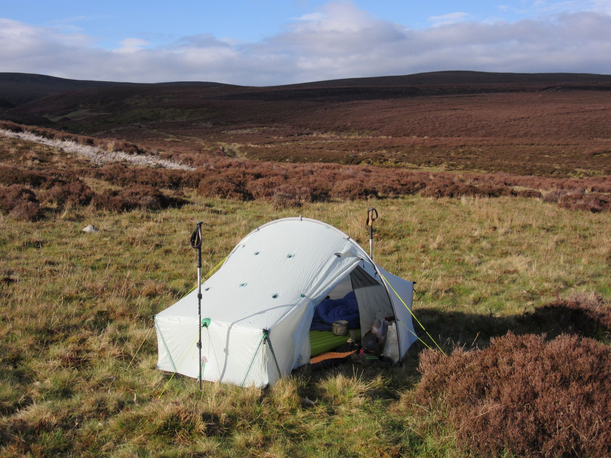
I did some laundry before heading up the ATV track providing a steep but easy route to the summit of The Buck. This wasn't actually as rocky on top as it looks from the direction I was approaching from and a near summit camp would have been quite possible if the chance of thunderstorms hadn't put me off.
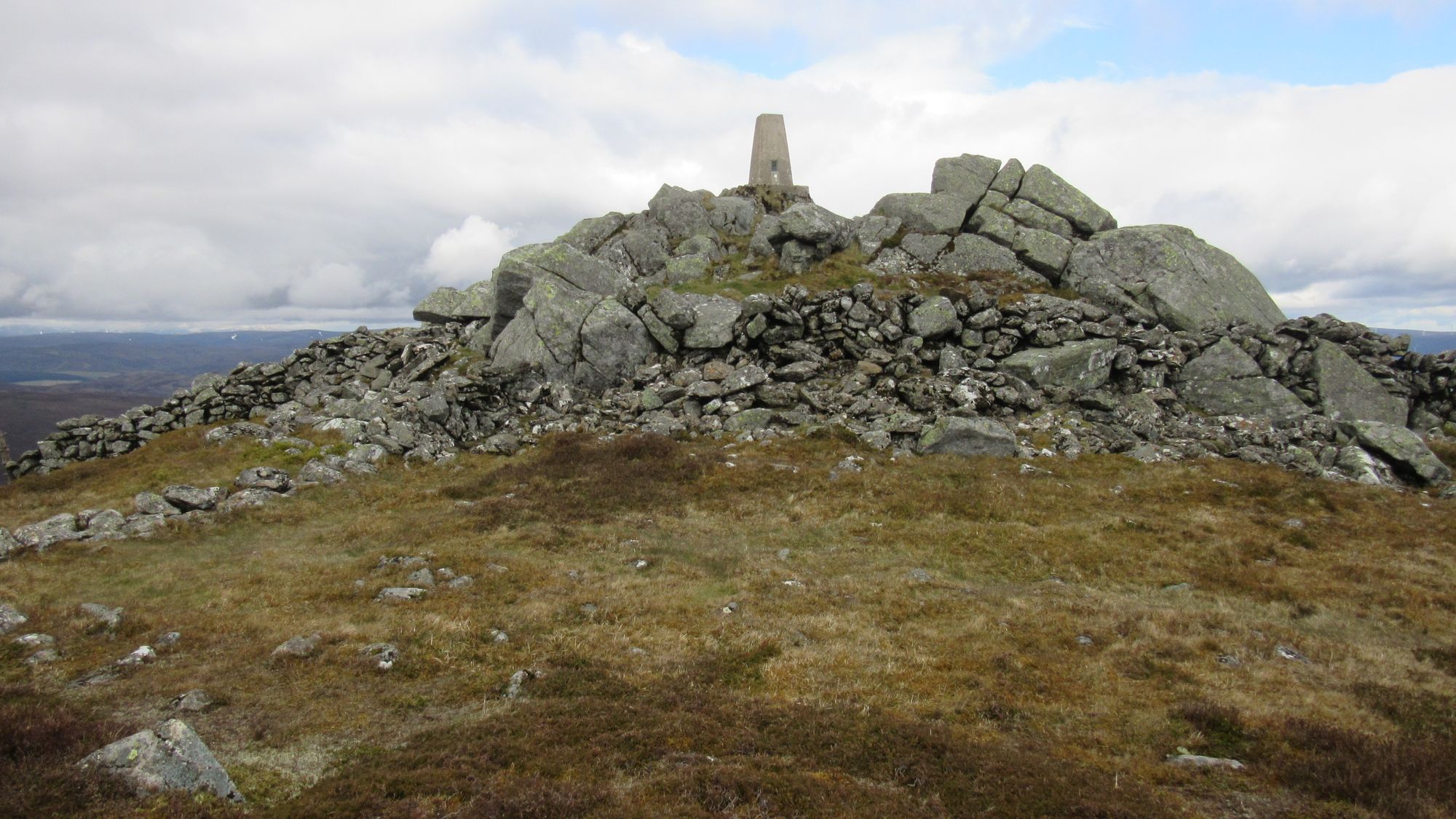
From camp up to The Buck.
Some tough heathery and sometimes boggy going across some high country commenced.
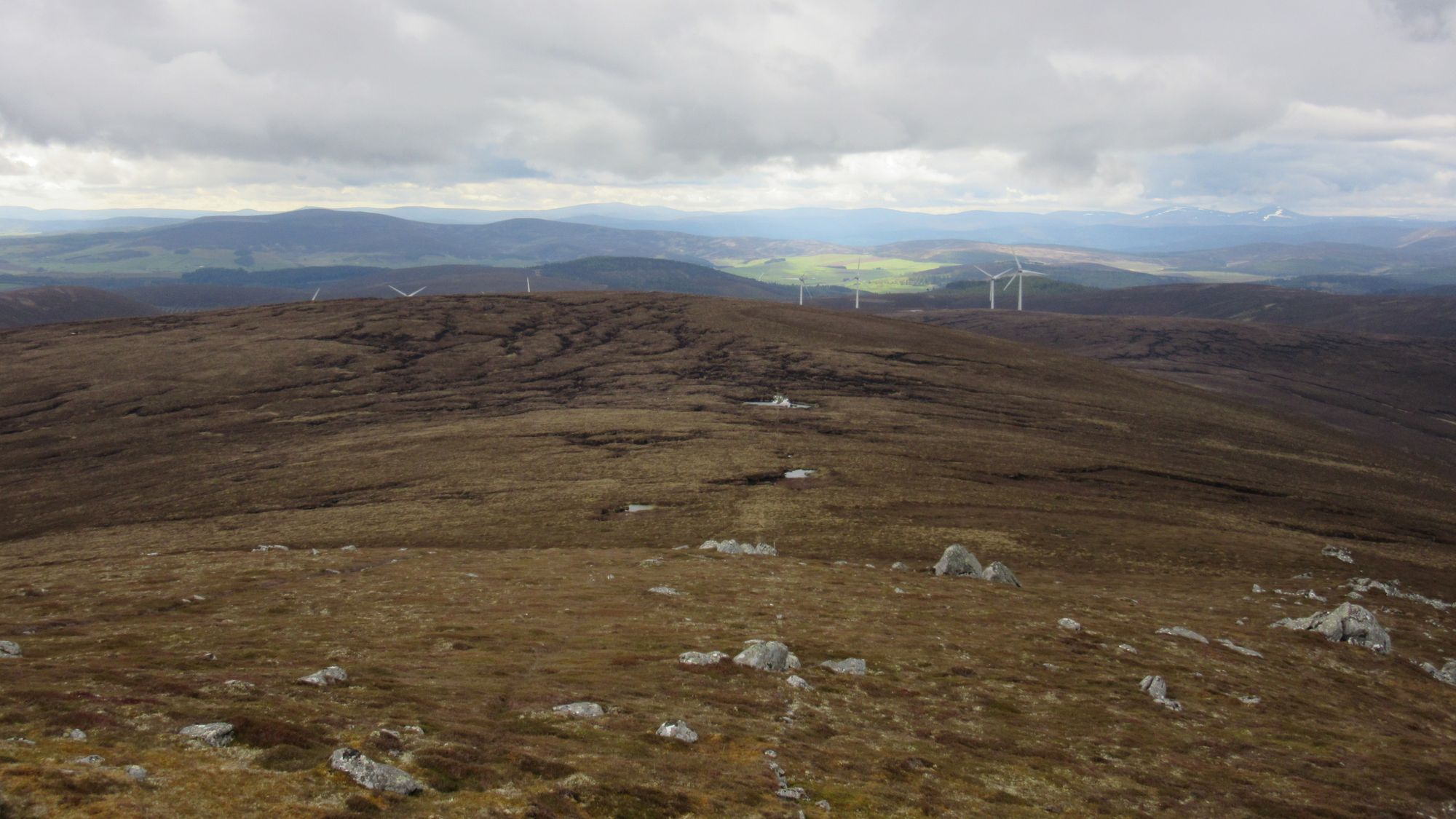
South from The Buck, towards the Hill of Snowy Slack.
After the curiously named Hill of Snowy Slack my route actually had me headed back westwards: Ladylea Hill was needed for my Grahams list-ticking and it was so close it would have been a shame to have not included it.
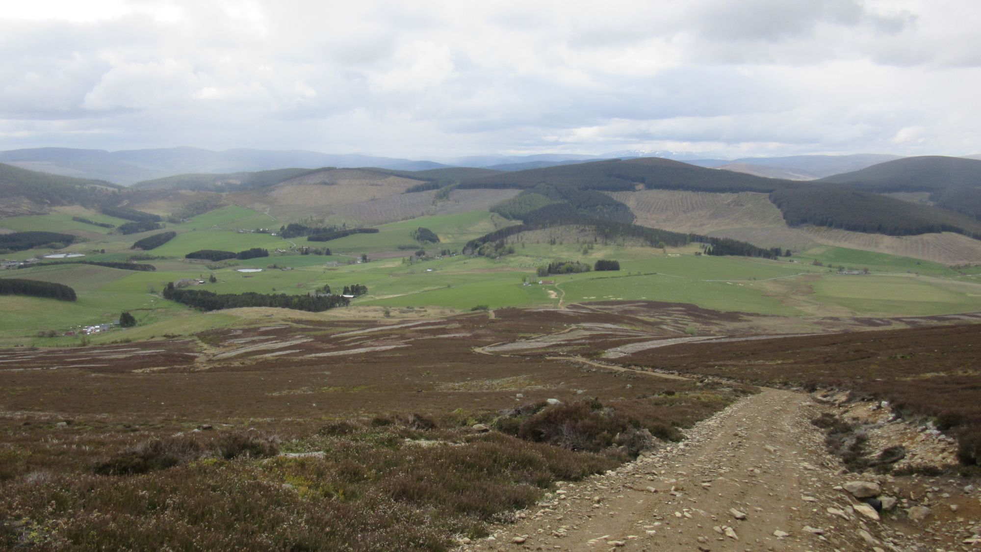
Descending to cross Glen Buchat.
I descended into Glen Buchat, passing through Belnacraig, stopping for lunch on the step of a village hall and crossing the Water of Buchat before climbing through forest tracks over Clashenteple Hill to access the summit of Ladylea Hill.
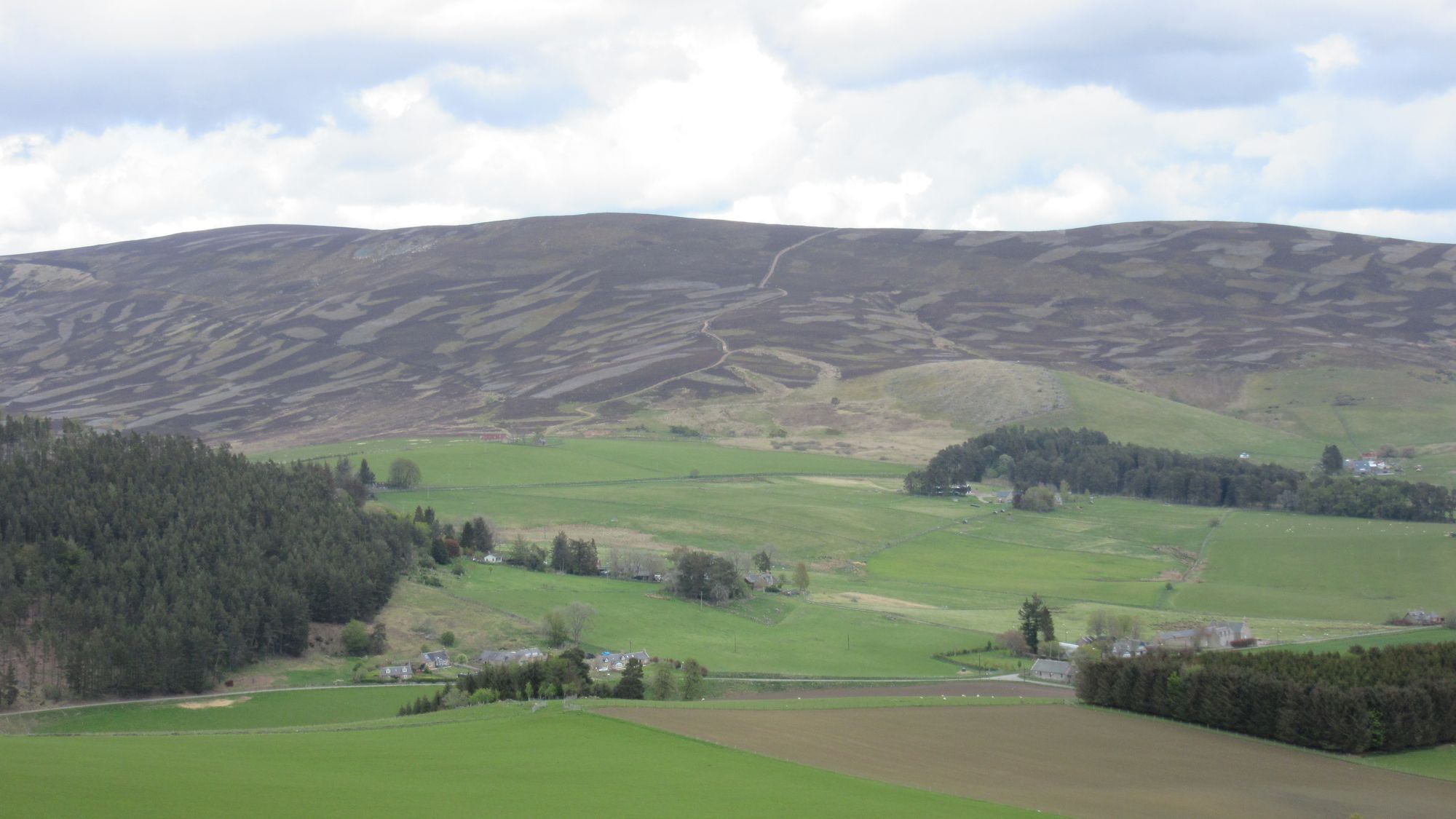
Looking back across Glen Buchat.
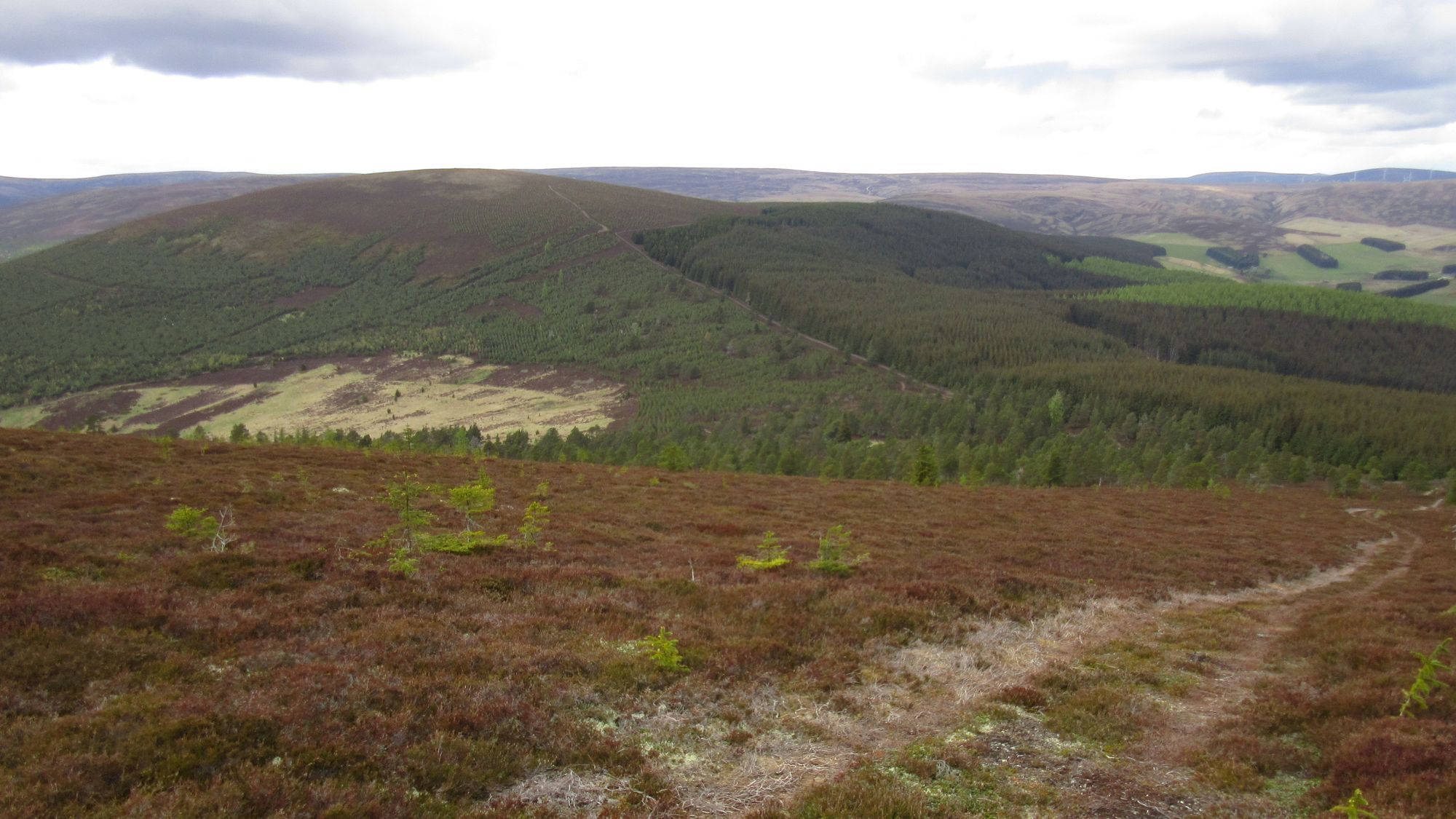
Crossing Clashenteple Hill to reach Ladylea Hill.
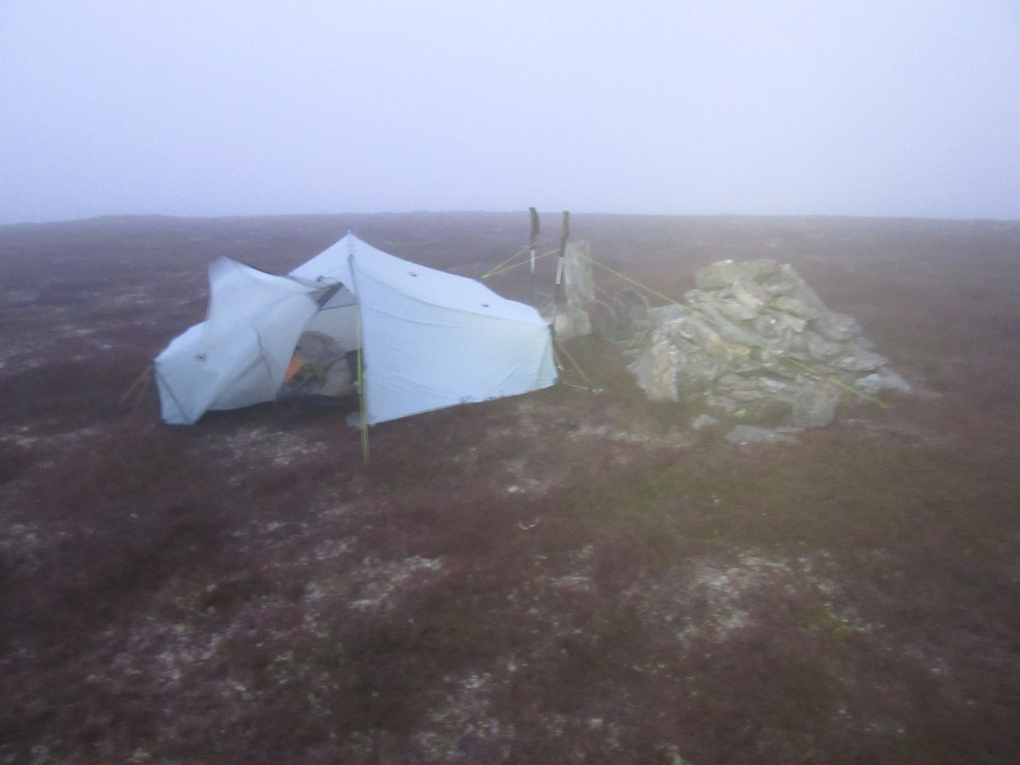
The short-cropped heather on the summit of Ladylea Hill was ideal for a pitch (unlike any of the surroundings I'd passed on the way there), but unfortunately it was very windy so I tucked the tent in as closely as possible behind the summit cairn to try and make the most of what little shelter was available.
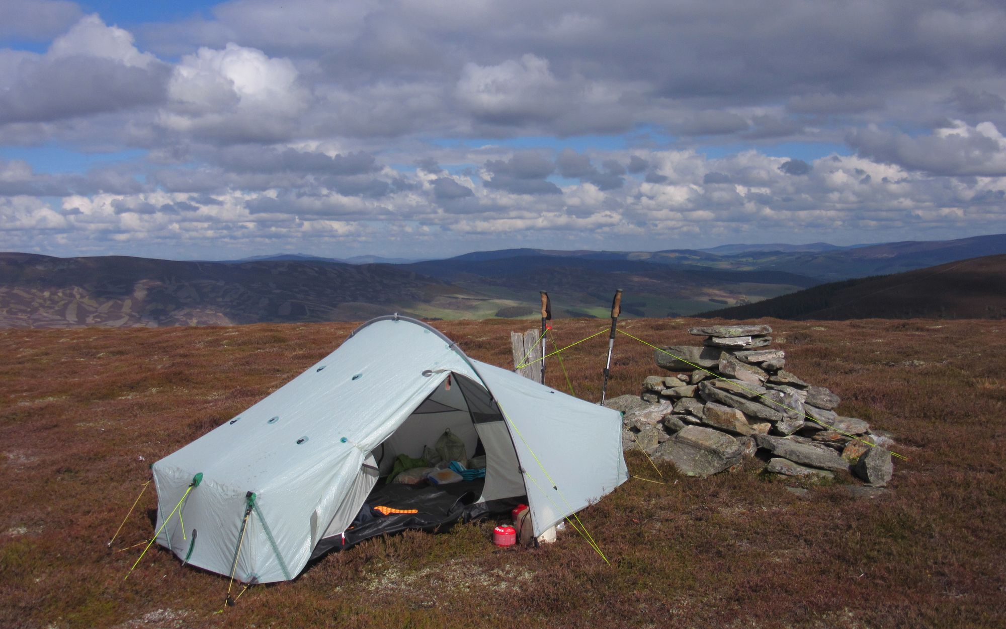
The laundry that had been dangling off my pack all day was hung out to benefit from a final blow dry in the wind. The forecast was for it to ease, but then pick up substantially again early in the morning, so after dinner I packed everything up and slept fully clothed in anticipation of having to make a swift departure.
Day 12: Ladylea Hill to NW of Pressendye
Ladylea Hill - Clashenteple Hill - Woods on Ben Newe/Hill of Greenstile - cross A97 - bridge over River Don at NJ397140 - Tom Beith - Lazy Well - Green Hill - Socach Burn NW of Pressendye
As I'd expected, rising wind woke me up at 4am, and as there was little prospect of getting further sleep I was packed up and moving again around 4:40 (with no breakfast or coffee). I retraced my steps over Clashenteple Hill and through the forestry before crossing a road at Westertown and Eastertown and skirting Ben Newe on forest tracks on its south flank. There was continuous mizzle, but the forest provided shelter from the wind.
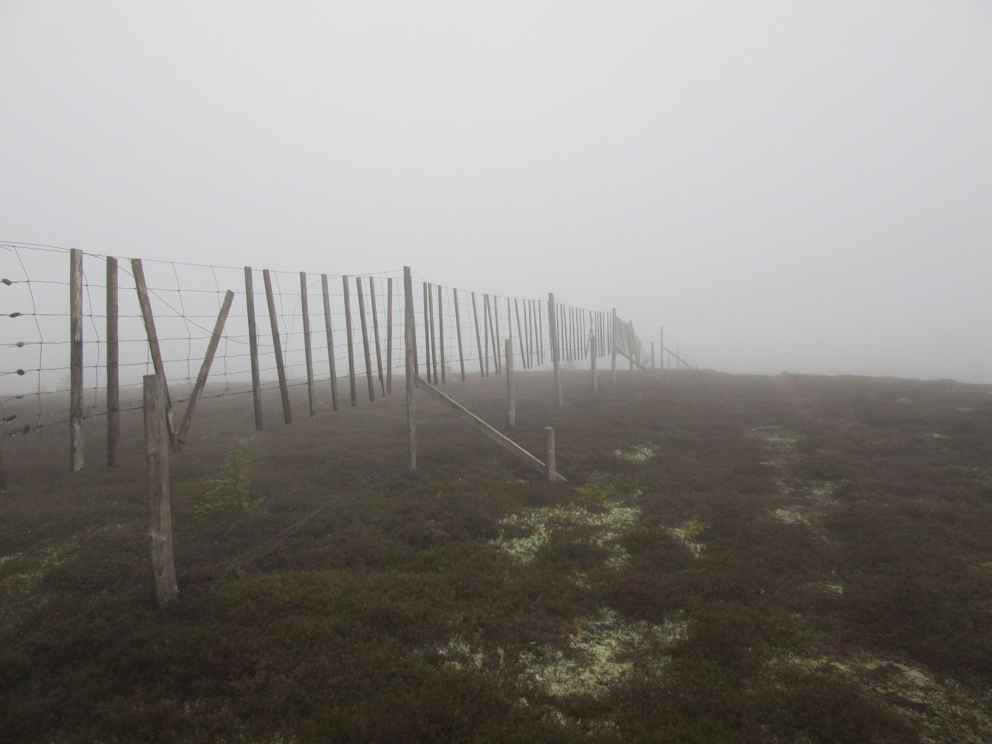
Bugging out from Ladylea Hill.
The more open rural country on the east side of the A97 and the River Don was more interesting, with Tom Beith being a fine little woodland-topped hill.
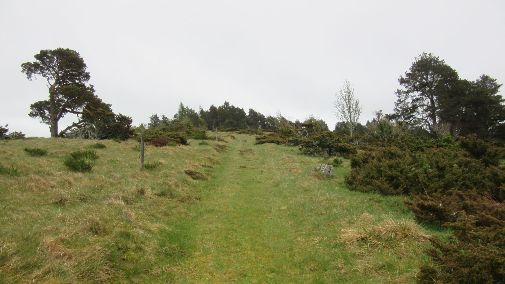
Ascending Tom Beith.
Another minor road was crossed beyond that, with a Scottish Rights of Way sign indicating the path to Lazy Well. A substantial bulldozed estate track followed (possibly running parallel to an older overgrown track which might have been the actual SROW line), traversing across the north side of Baderonoch Hill. At one point an open area where thousands of seagulls had congregated was passed.
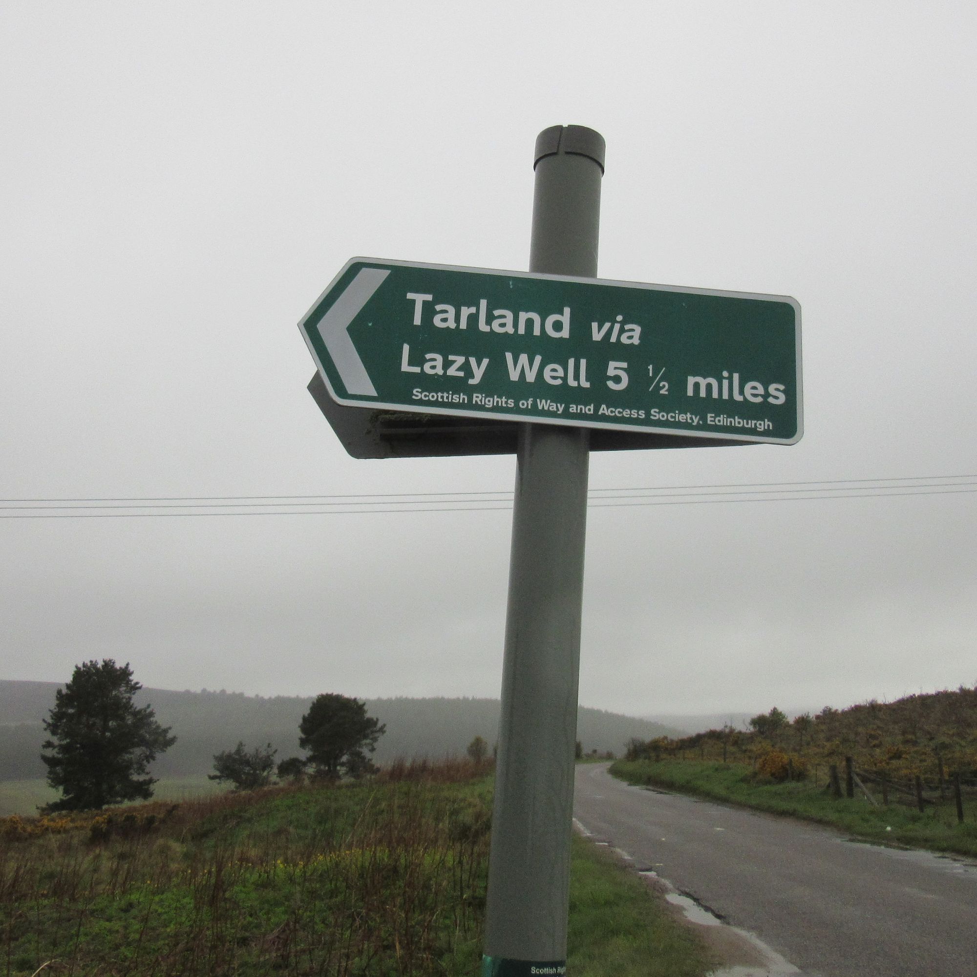
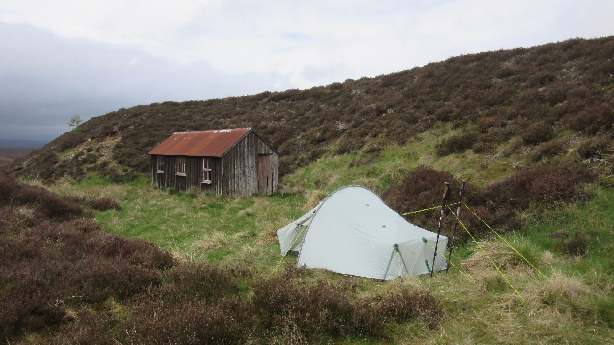
The best-case plan had been to summit camp on Pressendye but the weather - poor, and deteriorating as height was gained - wasn't making that an attractive prospect, so between Green Hill and Broom Hill I dropped off into the glen containing the Socach Burn. I got quite excited about the prospect of another bothy stop as a shed came into sight, but closer inspection revealed it to be in a dire, filthy state with doors off, windows out and a decaying sheep carcass in each of the two rooms. A shame as the roof seemed sound and there were tables and benches present.
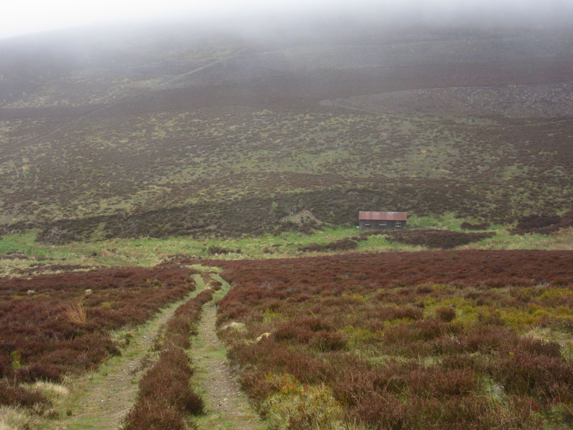
Decaying hut besides the Socach Burn.
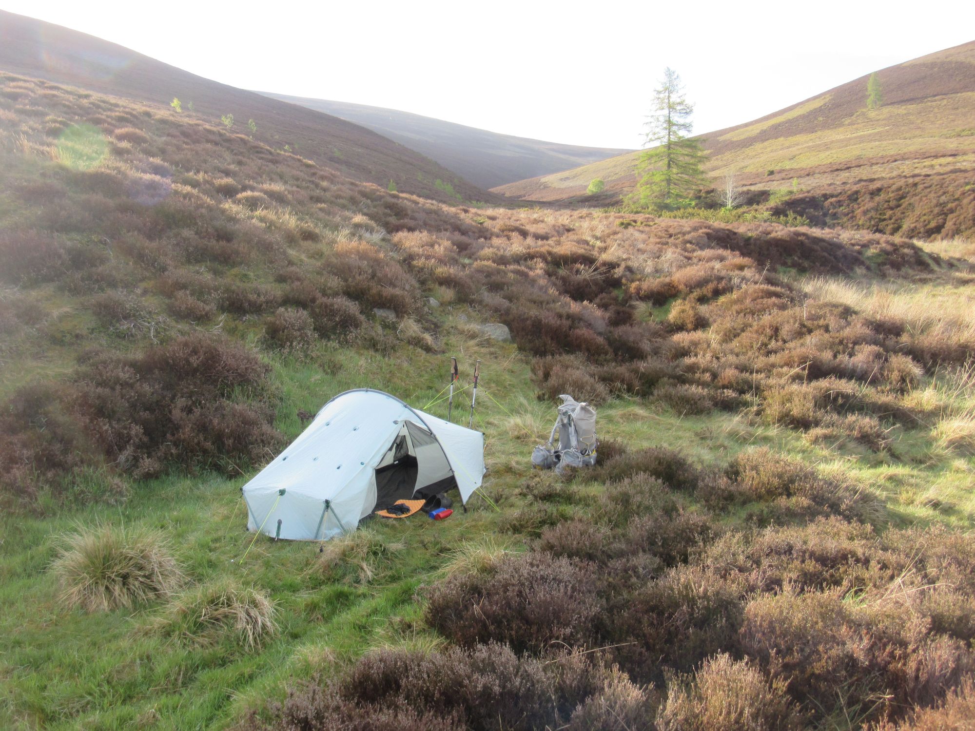
I explored up and down the glen but everywhere else seemed too boggy or too tussocky, so I set the tent up on what seemed to be the best pitch on offer: a bit of relatively flat ground outside the shed.
Thanks to the early start it was still only around lunchtime, so I cooked up some noodles and spent the rest of the afternoon listening to podcasts. Low cloud and rain persisted into the evening, but the wind did at least drop off.
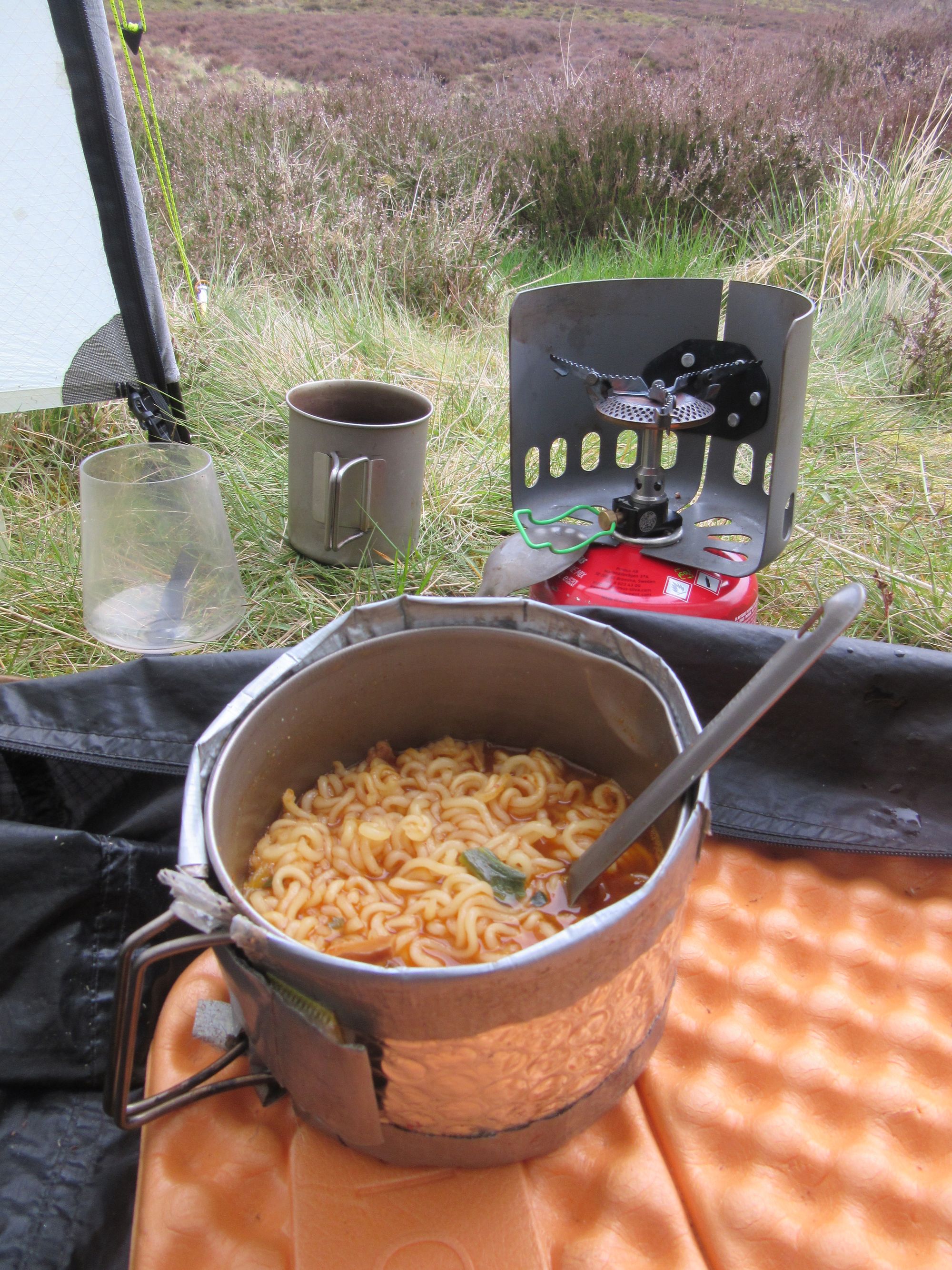
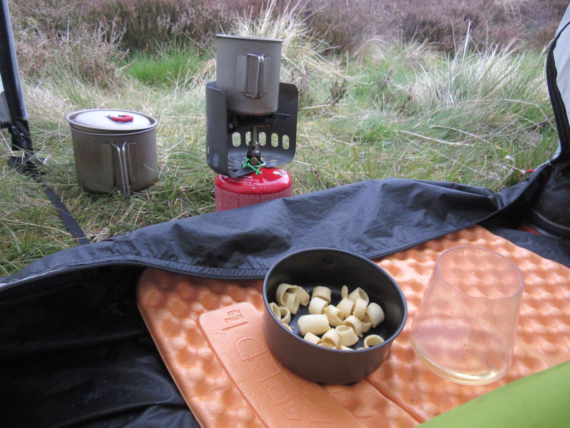
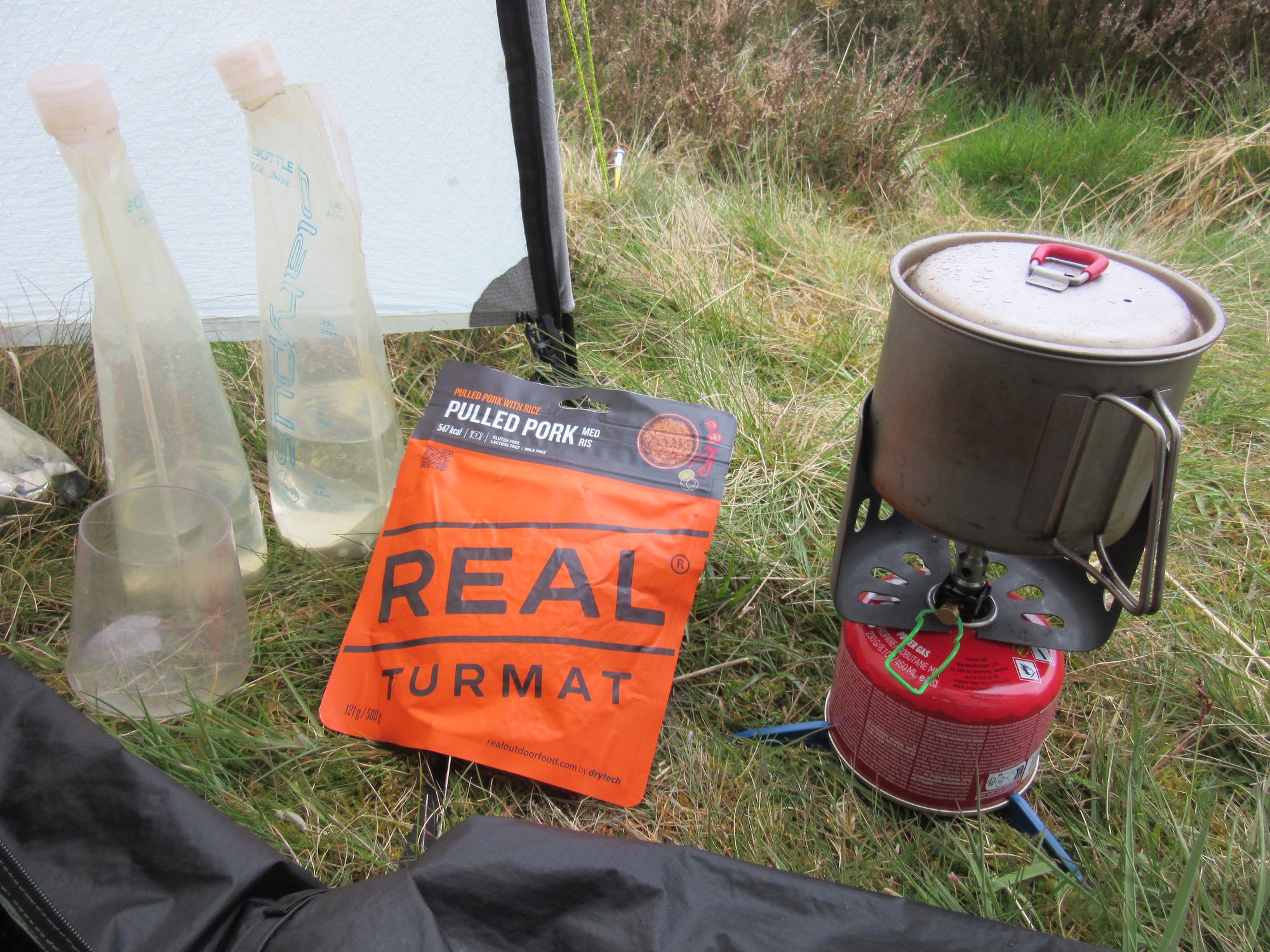
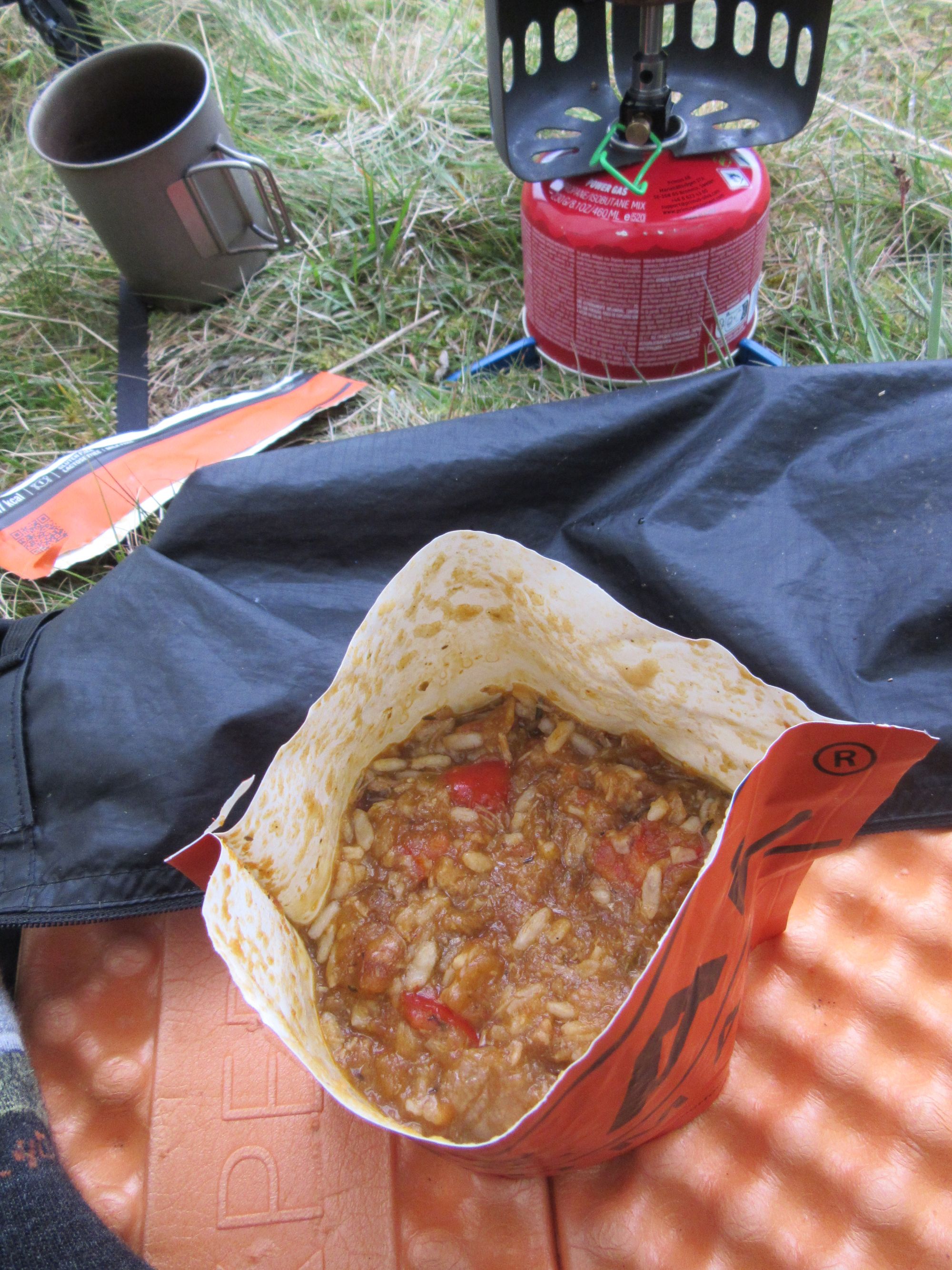
Provisions.
Day 13: Pressendye to Hill of Fare
Socach Burn NW of Pressendye - Pressendye (G;619m;#12) - B9119 near Slack – Craiglich - Corse Hill - Peel Ring of Lumphanan - woods around Stot Hill - Torphins - Braeside – Pt.471 Hill of Fare
The weather was much nicer this morning!
The final Graham of the trip was ascended; it was perhaps just as well that I had not tried to summit camp it as there seemed to be no obvious good pitches.
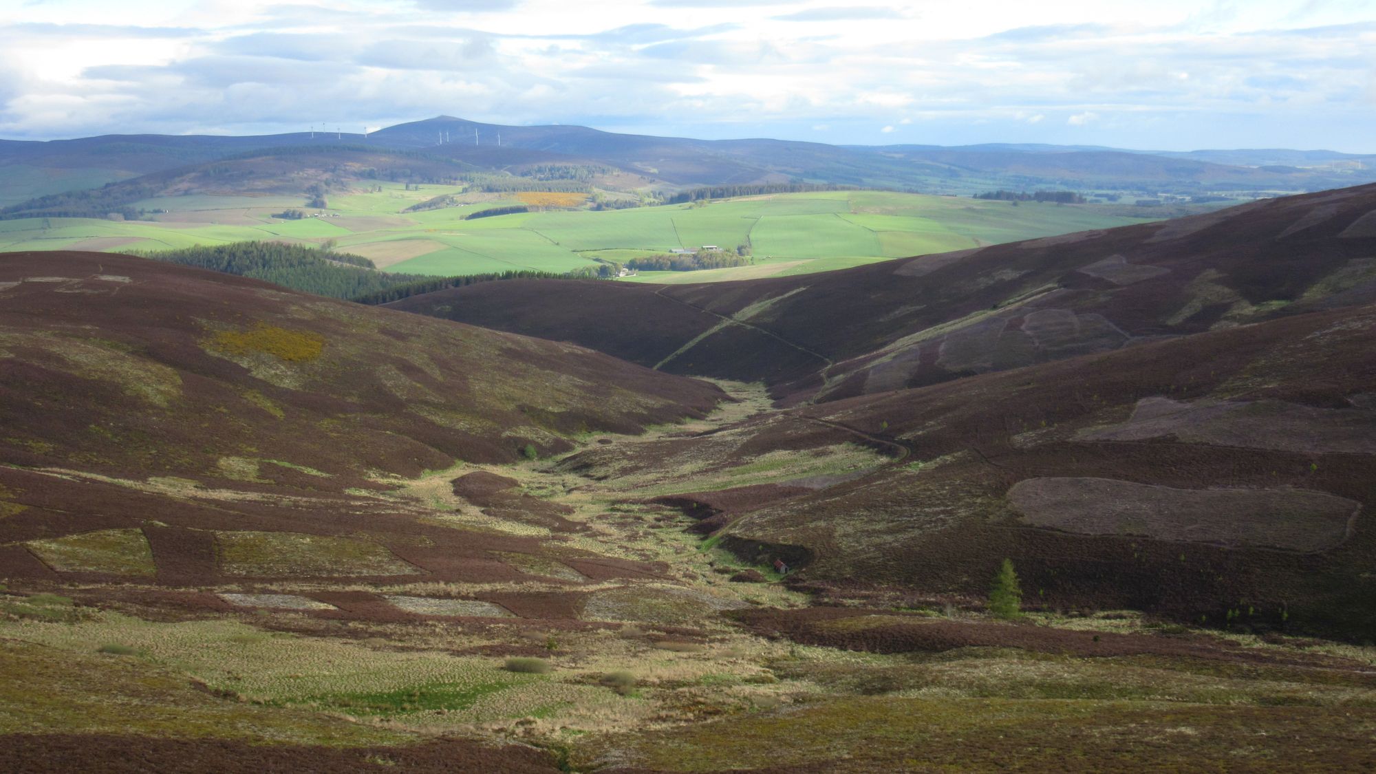
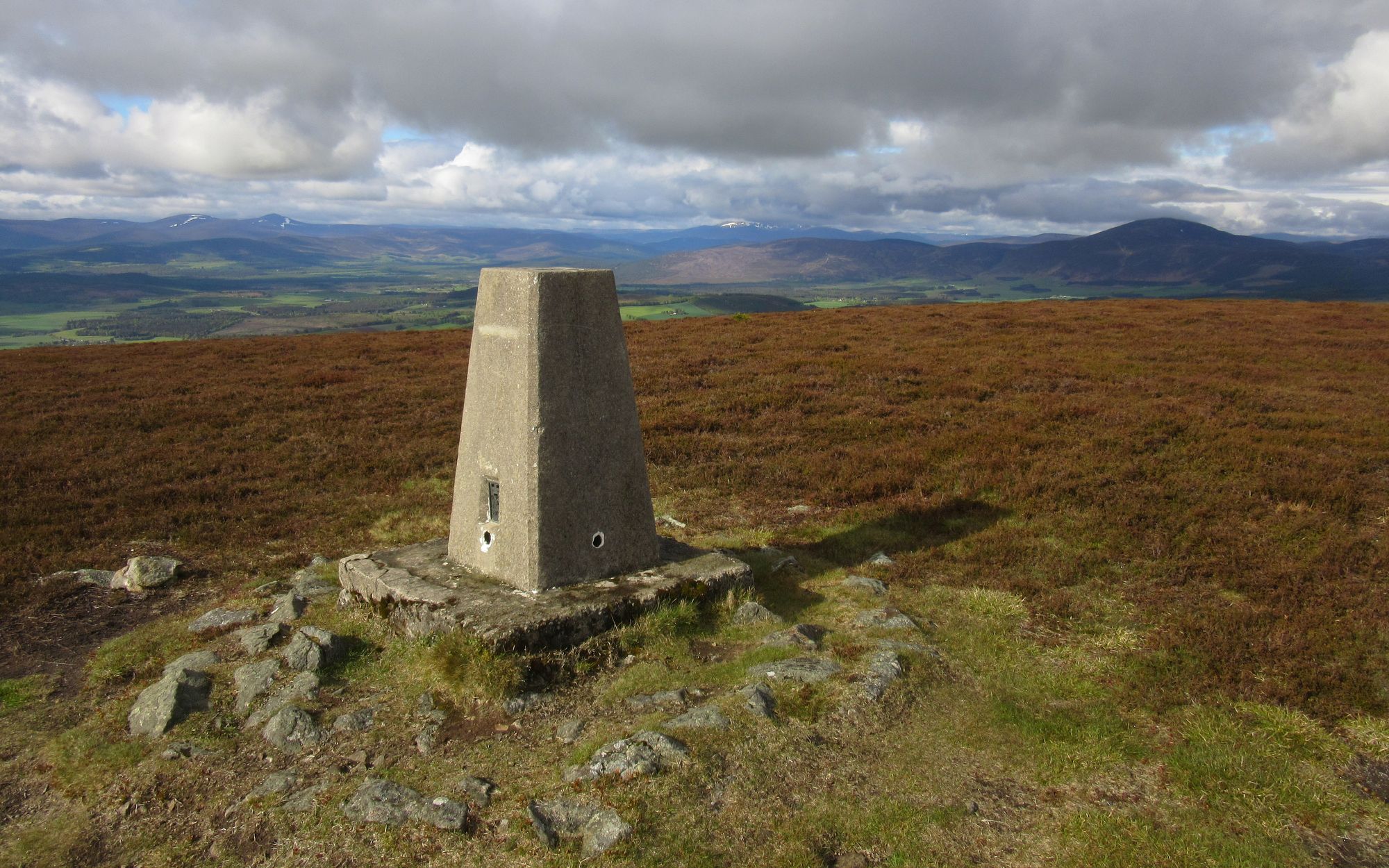
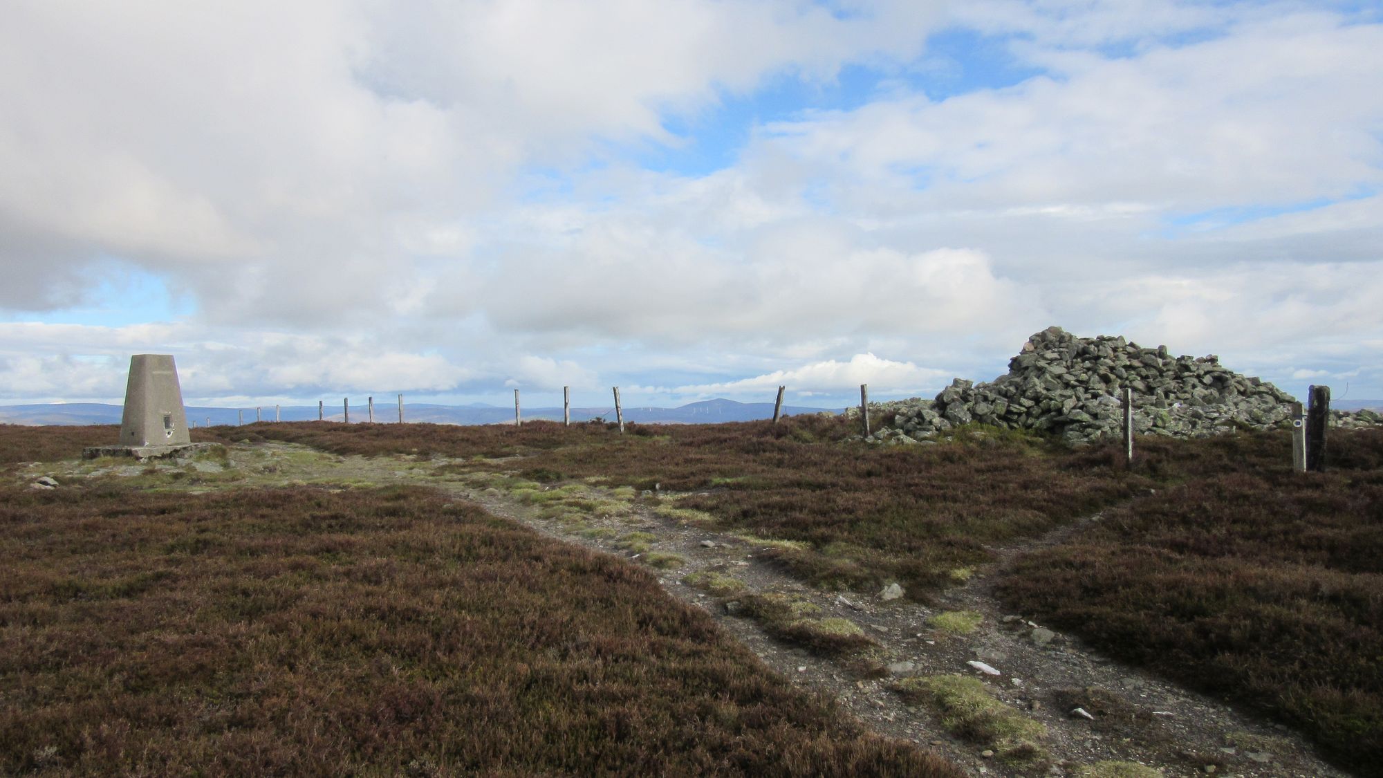
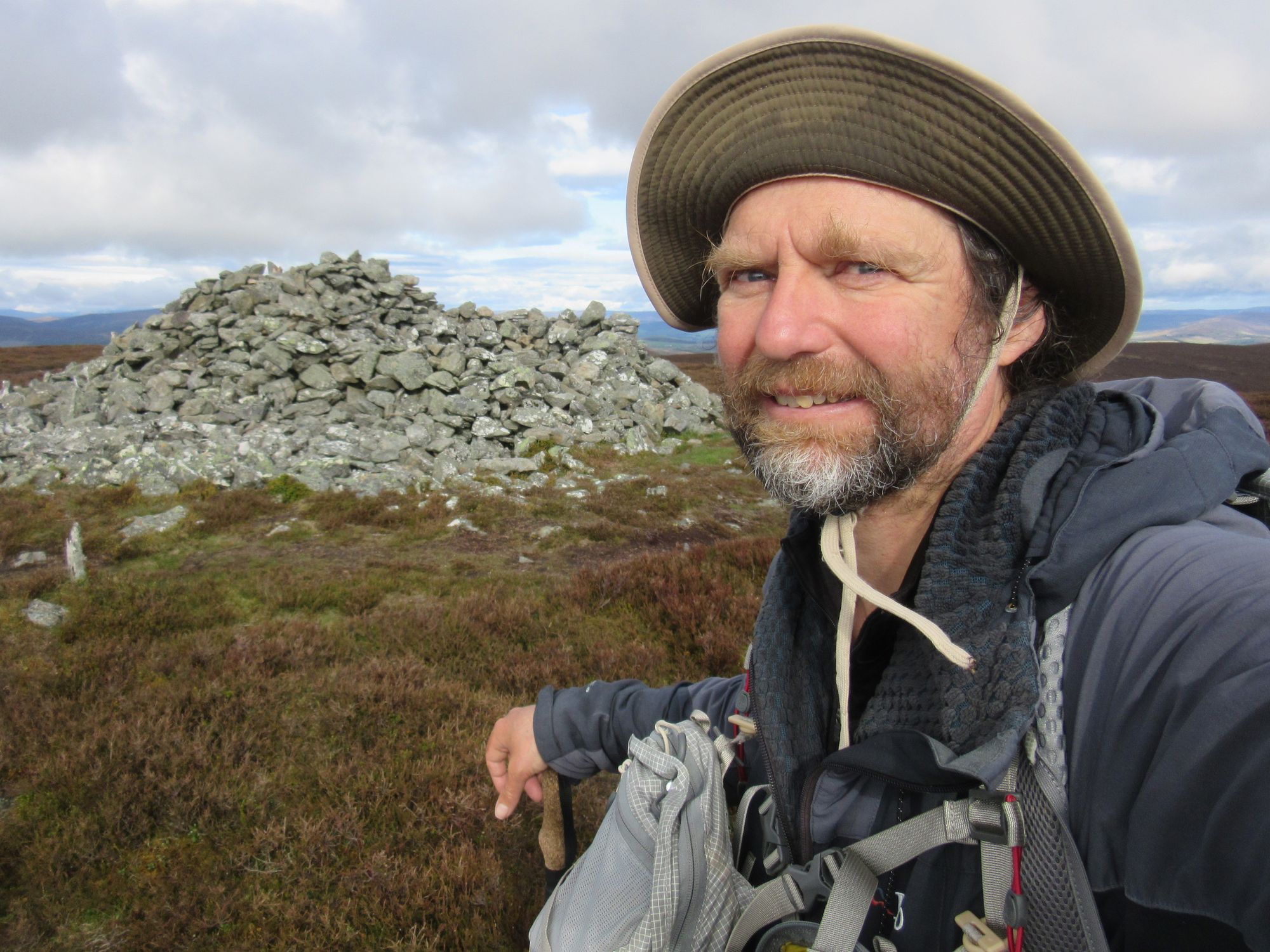
Up to Pressendye summit, the twelfth and final Graham of the trip.
Descent was through a mountain biking area, and then more tracks led me to a brief section on the B9119 before ascending Craiglich by forest tracks. The continuation eastwards over Corse Hill/Tirebagger was easier than the pathless maps suggested, and I got down through the woods - avoiding a felled section - onto the road to follow that to the circular earthwork of Peel of Lumphanan for a lunch stop.
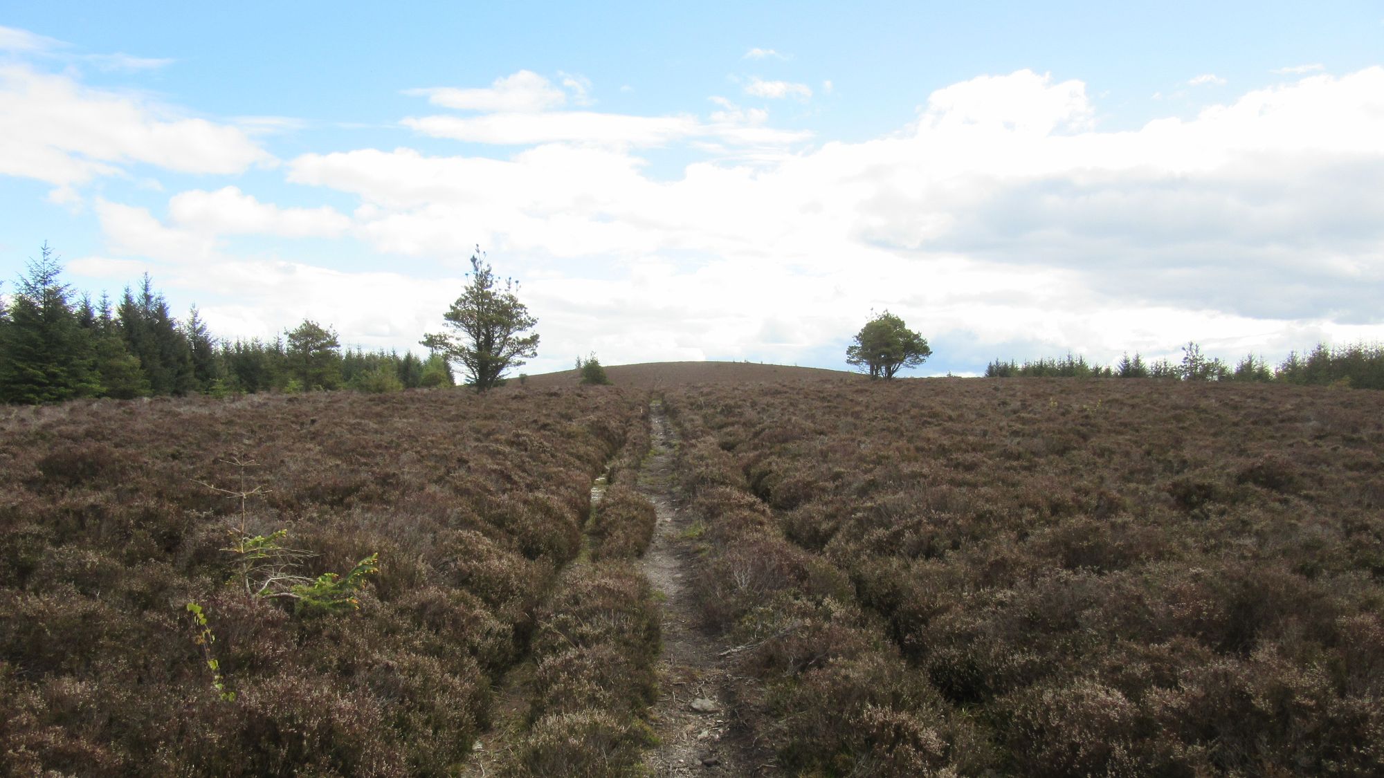
Across Corse Hill & Tirebagger.
Some more road walking and then tracks bought me to the woods around Stot Hill. This was tough going! The "Crofts" marked on the map are ruins, and the deeply rutted track was thoroughly overgrown and boggy and further east I ran into a messy felled section of forest.
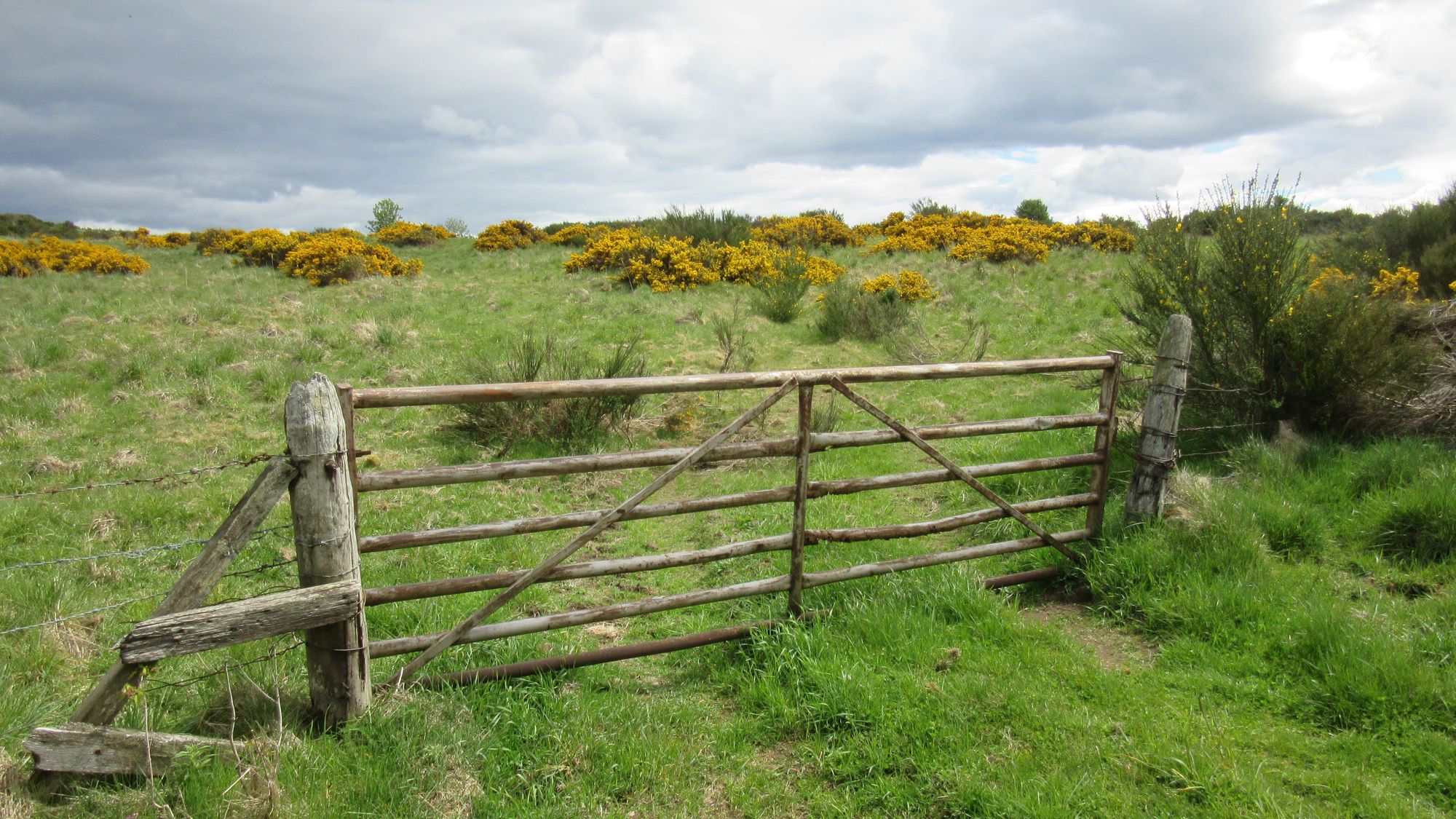
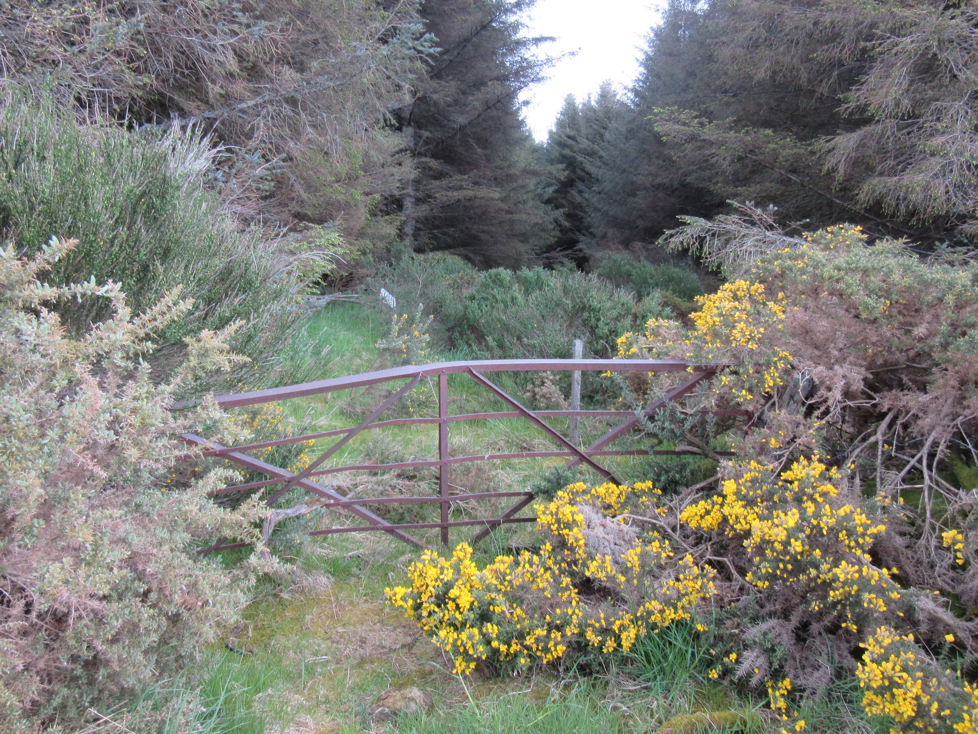
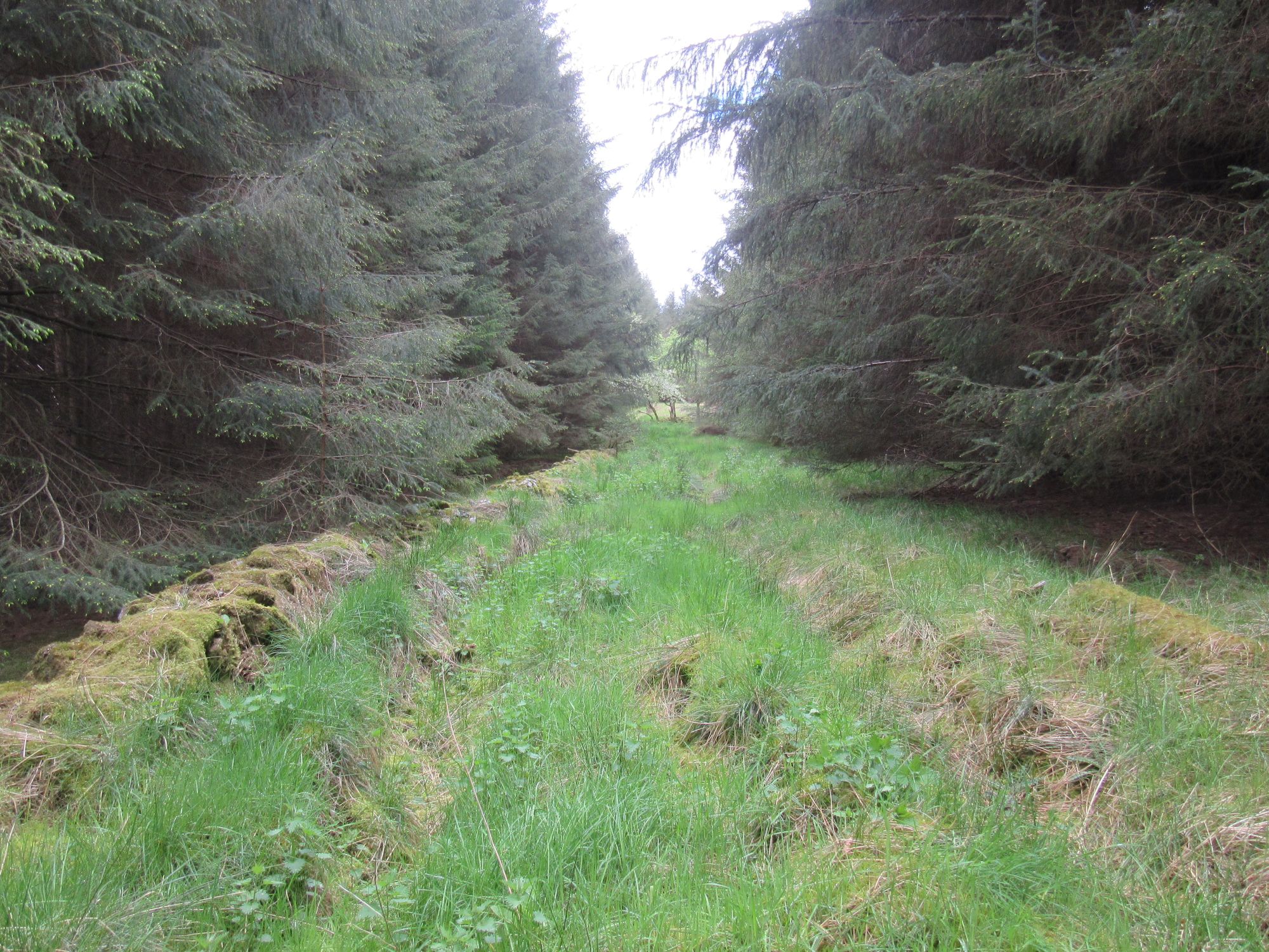
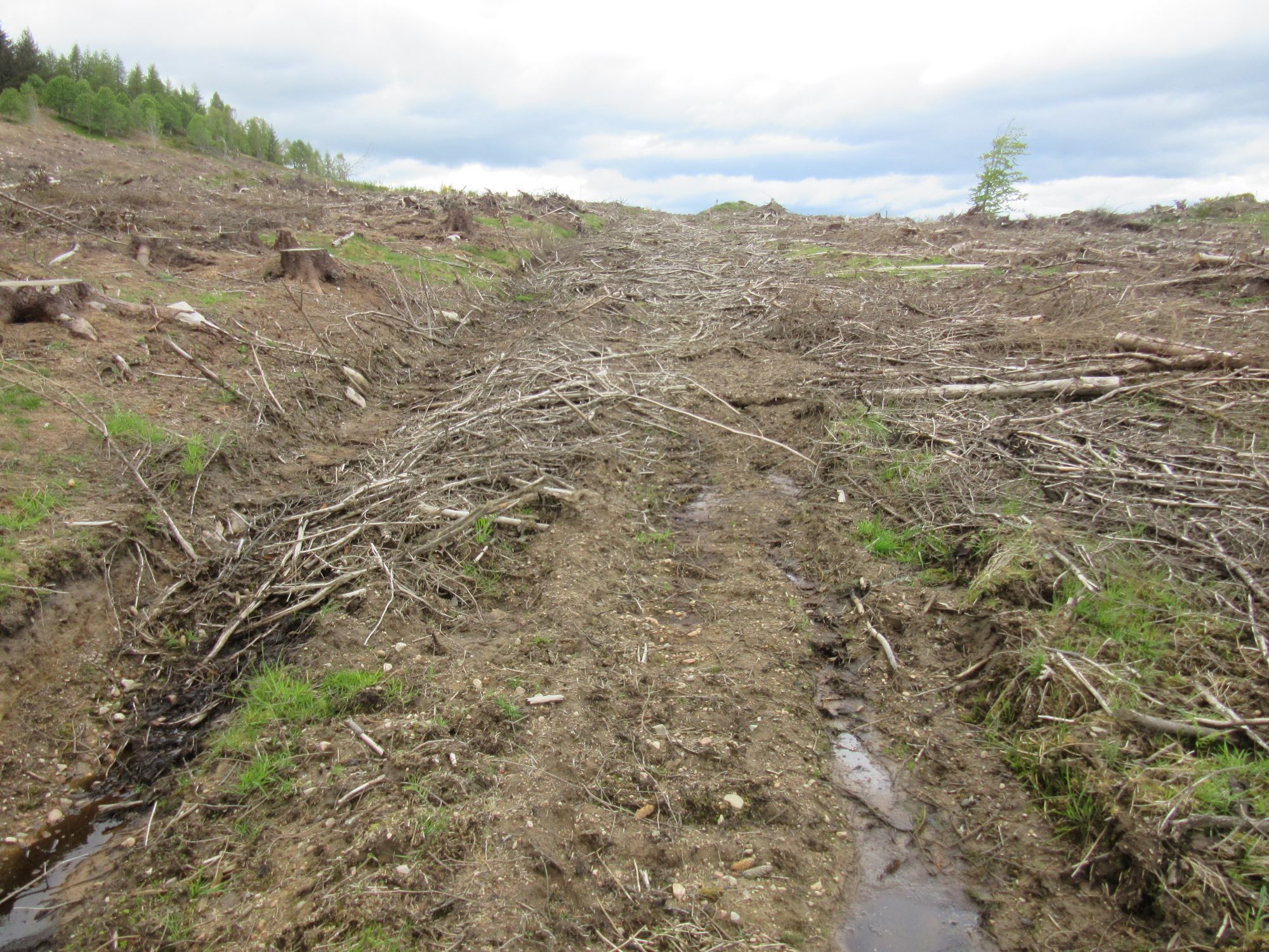
Increasing difficulties south of Stot Hill.
I eventually emerged onto a minor road, and was able to follow tracks running parallel to and south of the A980 into Torphins, and its curious supermarket in a church. I did not need to buy much as I'd have another opportunity to buy food in Westhill the next day.
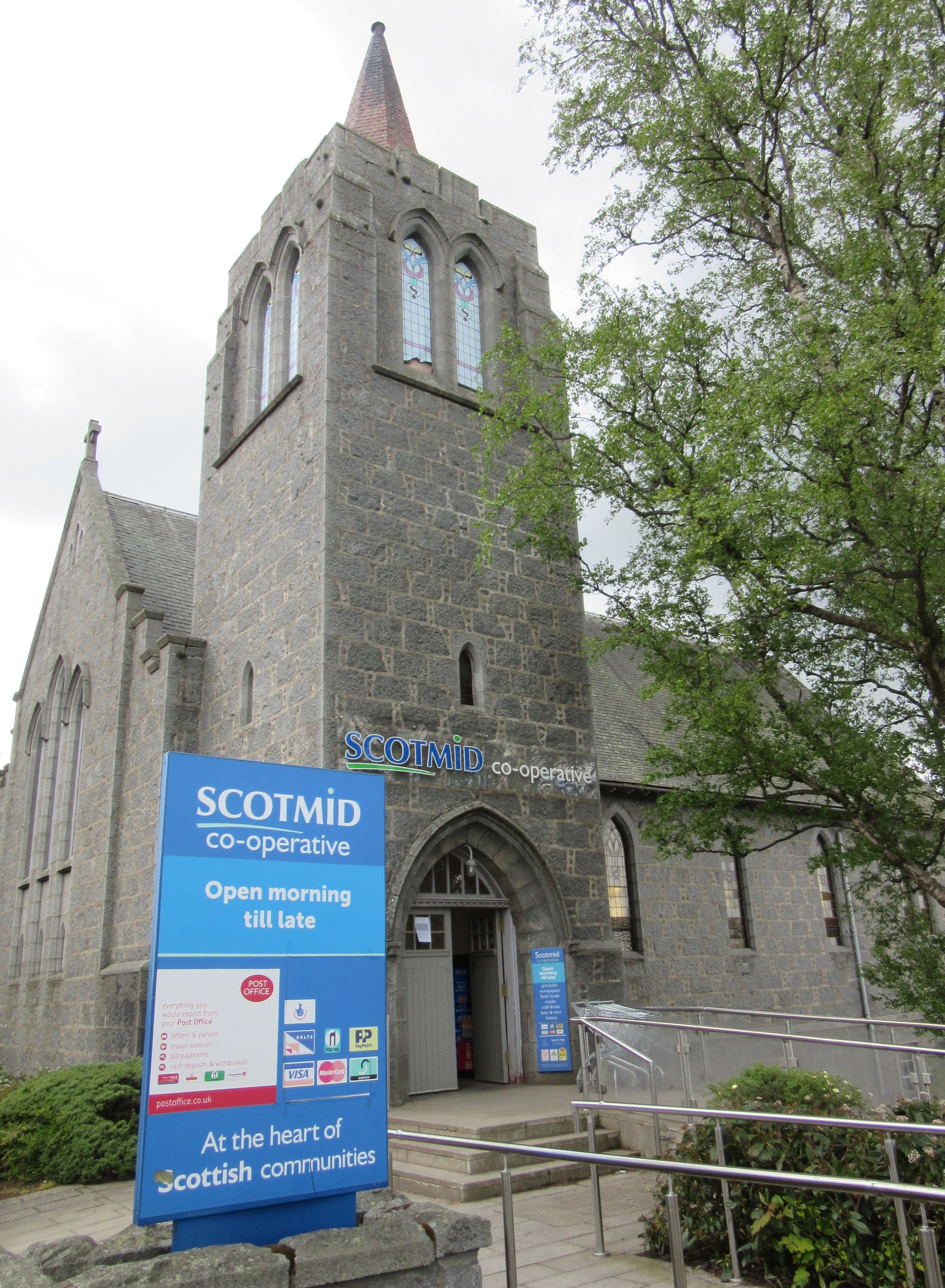
A few tedious kilometres northwards on the B993 followed, after which I turned off up the track to Dunswell. I'd hoped to find water for a camp here, but there was nothing but damp ground and the well shaft had an immovable concrete cap. I decided I had enough liquid refreshment for the evening and enough water for a couple of coffees in the morning anyway and pressed on.
There was a confusion of fences and paths above, but eventually I got onto the main path across Hill of Fare's heathery expanse. The high point seemed to be marked by a rock and cairn, with just enough clear space to pitch next to it. The skies were clear, but it was quite gusty.
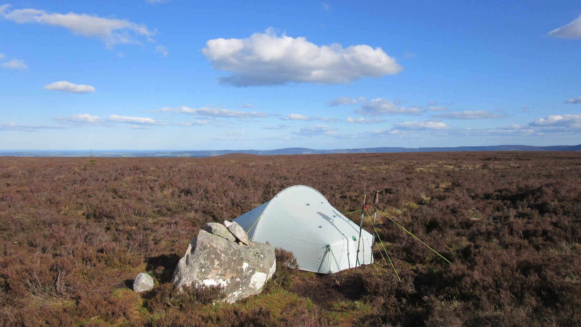
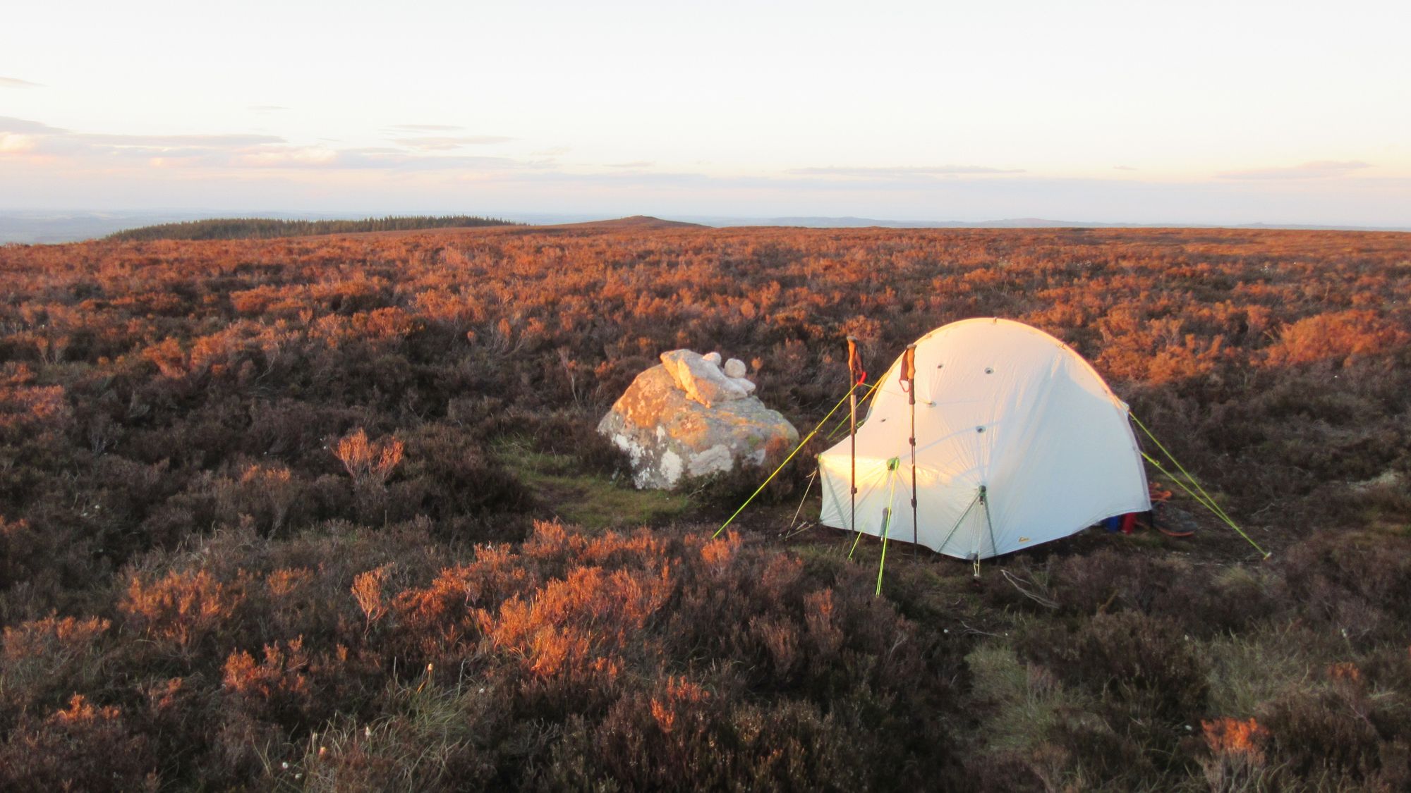
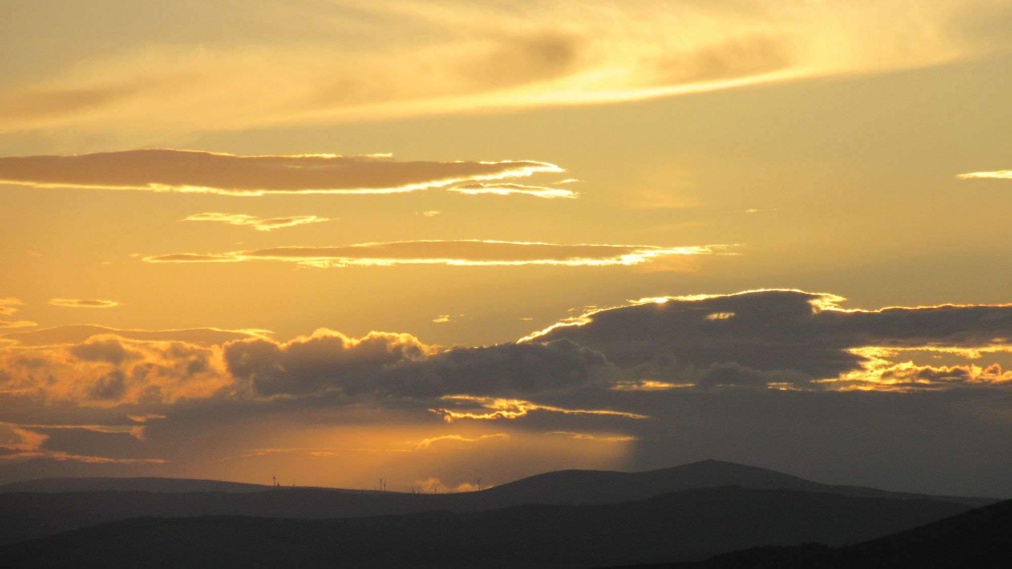
On Hill of Fare in the evening light.
Day 14: Hill of Fare to Brimmond Hill
Pt.471 on Hill of Fare - Greymore - cross B977 S of Echt - cross B9119 near Garrick - Westhill - Brimmond Hill
The cloud was down and the rain started soon after I woke up. I did indeed have just enough water for two coffees, and I munched all four of the butteries (a speciality of this part of the world) I'd bought in the supermarket yesterday.
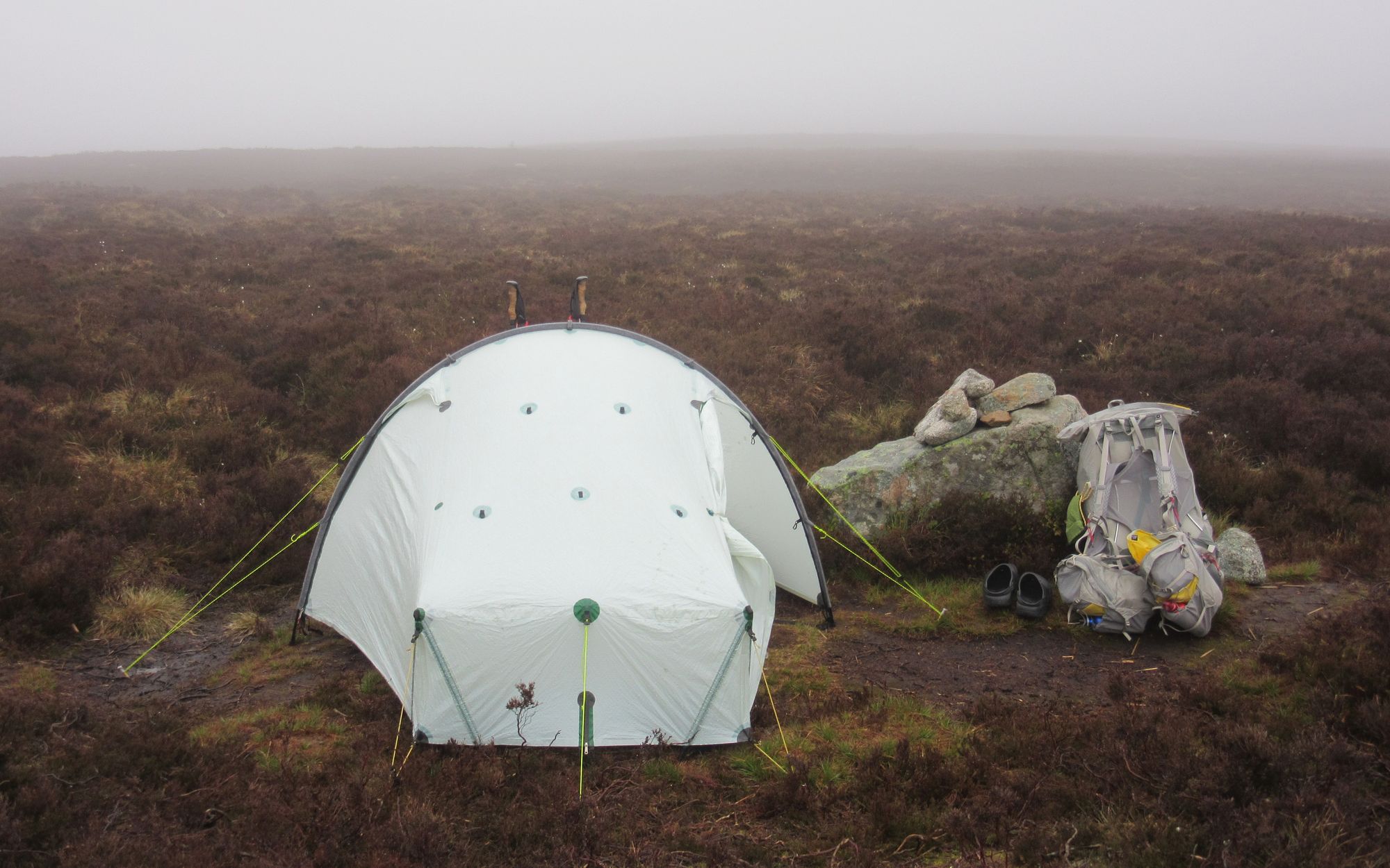
I followed a track eastwards across Hill of Fare and the other high moorland of which it's part, and down to more rural country at Hillbrae. Quiet roads and farm tracks (some of them overgrown) led me past a "Gas Compressor Station" and to pass south of Loch Skene and then to some more tedious road walking though Westhill.
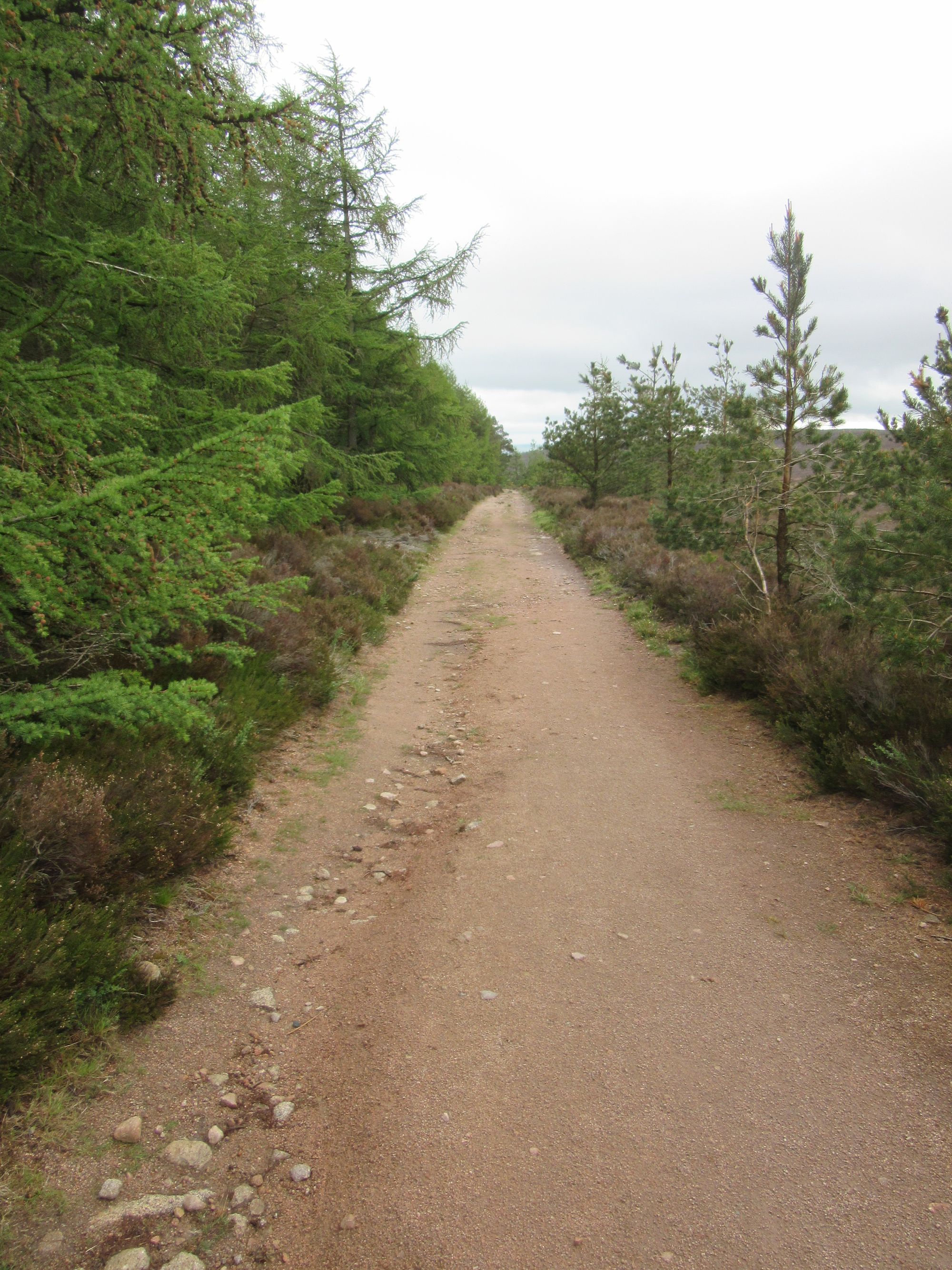
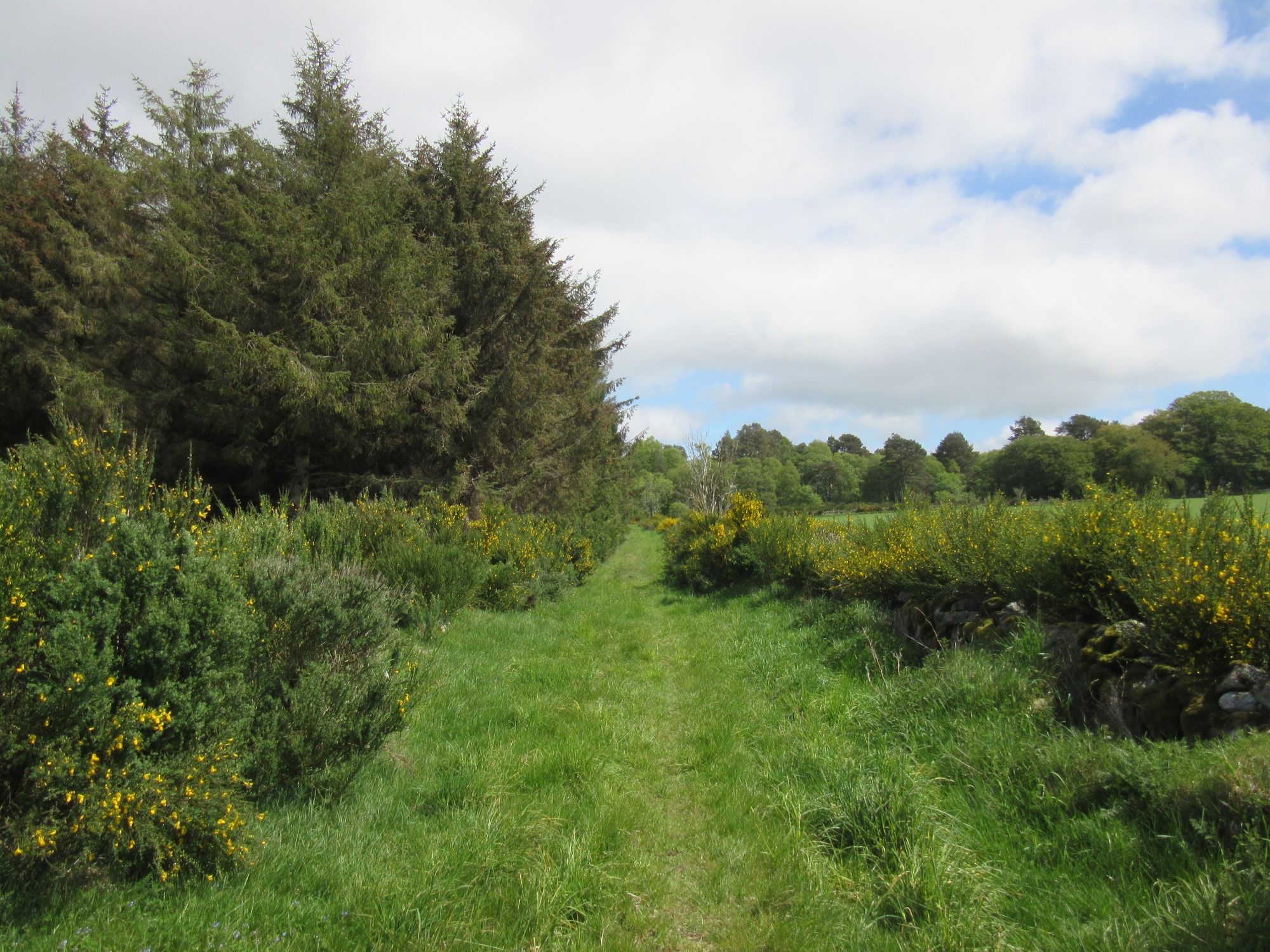
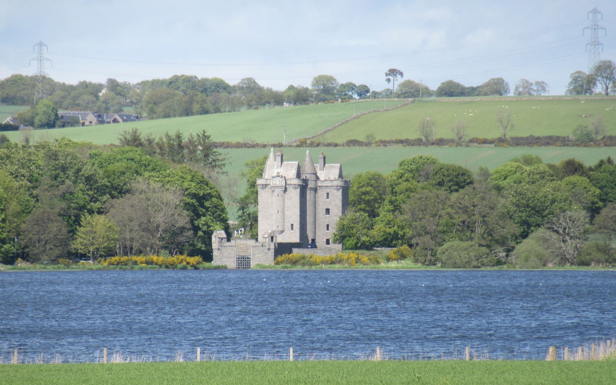
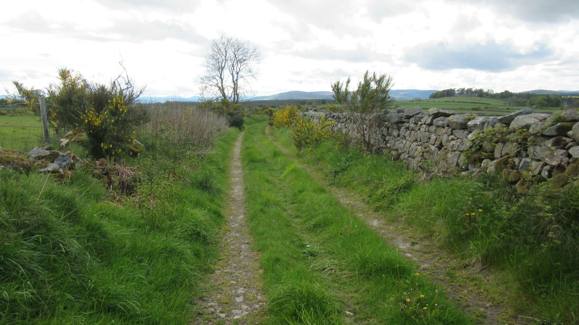
From Hill of Fare past Loch of Skene towards Westhill
At Westhill's shopping mall I had an excellent pizza and picked a few things up in a supermarket. Continuing out of town, finding a way from the minor road in the Northside/Easter Mains region through to Brimmond Hill seemed difficult, but Open Street Map mapping saved the day - as it often does near towns - indicating a little path through fields that wasn't on OS maps.
Approaching it, the summit of Brimmond Hill looked unappealing for a camp due to the large antenna; previous experience has been that around these it can be quite noisy due to whirring fans in the supporting equipment cabinets. However, before I reached it a little grassy patch just left of the path caught my eye and I decided that'd do. A little grinch doll hanging in a gorse bush next to the site suggested I wasn't the only person to have used it.
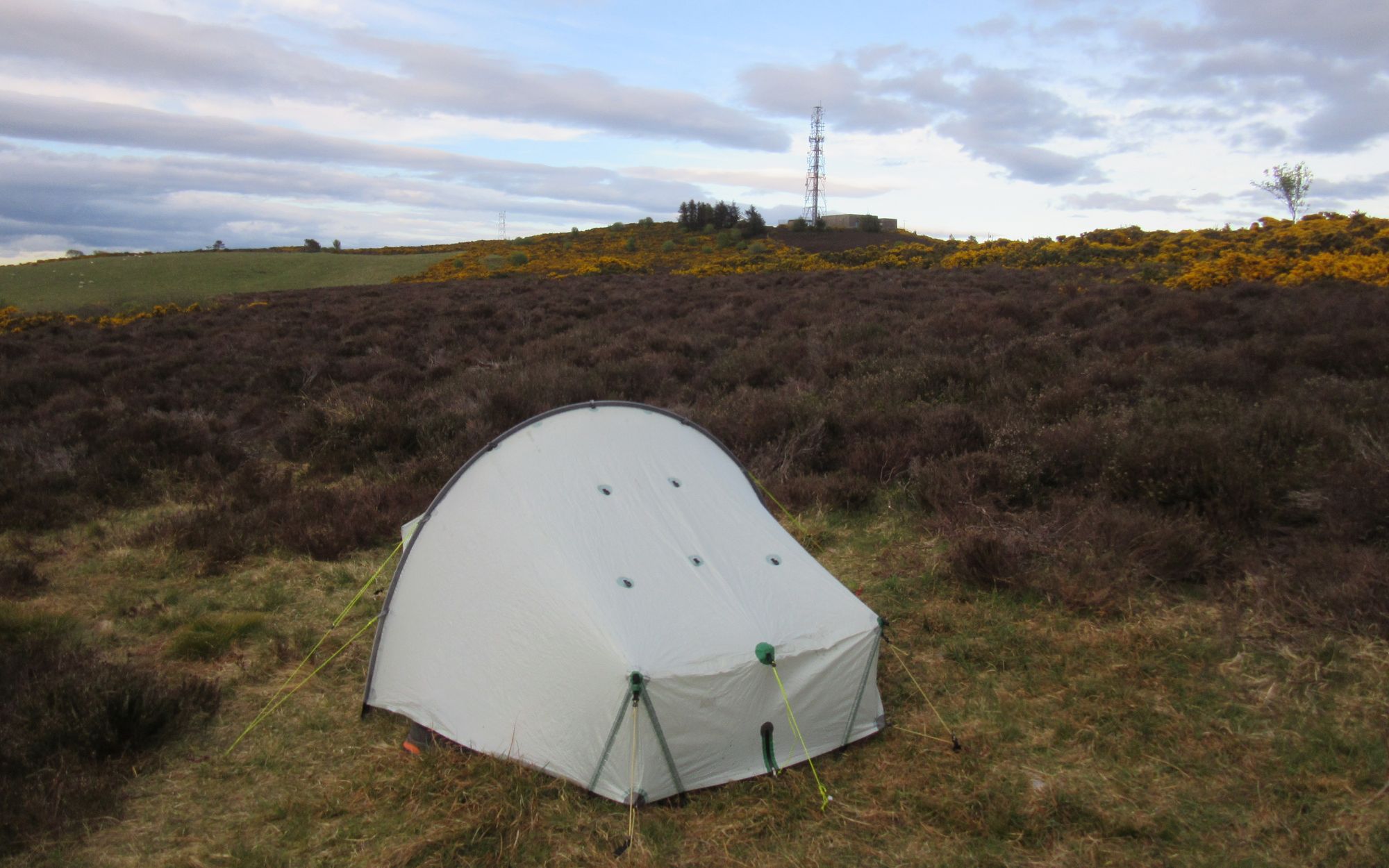
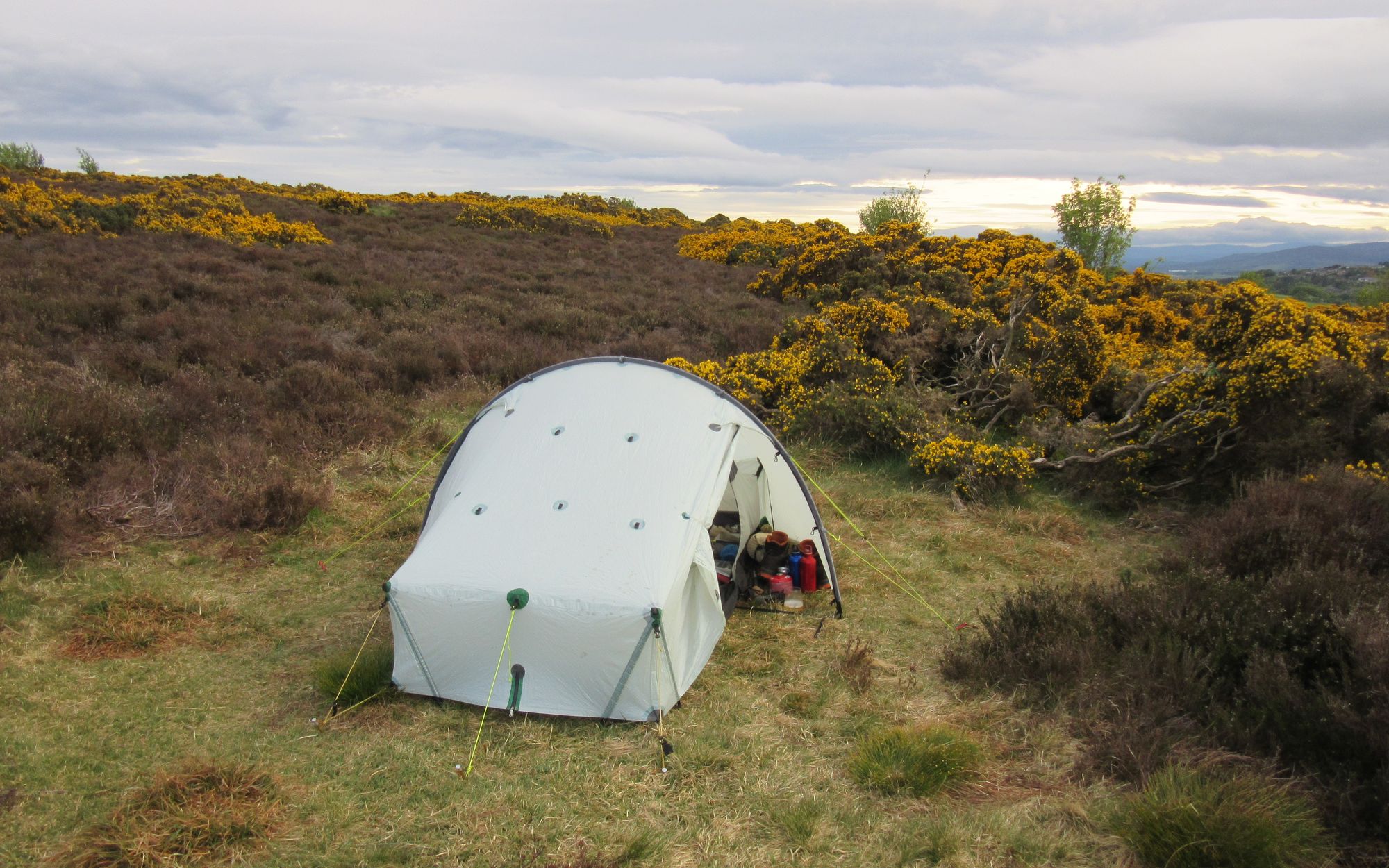
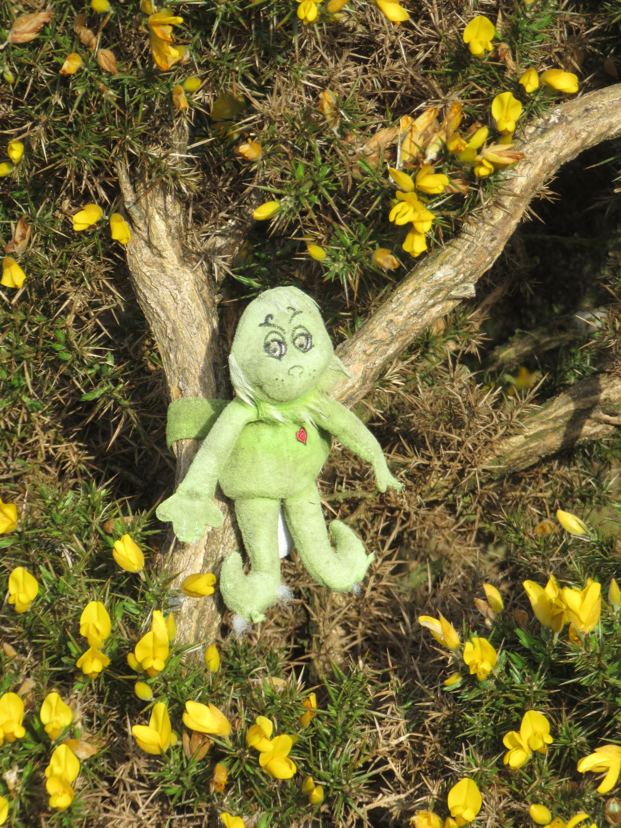
Camped on Brimmond Hill.
Day 15: Brimmond Hill to Aberdeen
Brimmond Hill - cross A90 via underpass - Aberdeen centre - Aberdeen beach front - train station (for Montrose and Park Hotel)
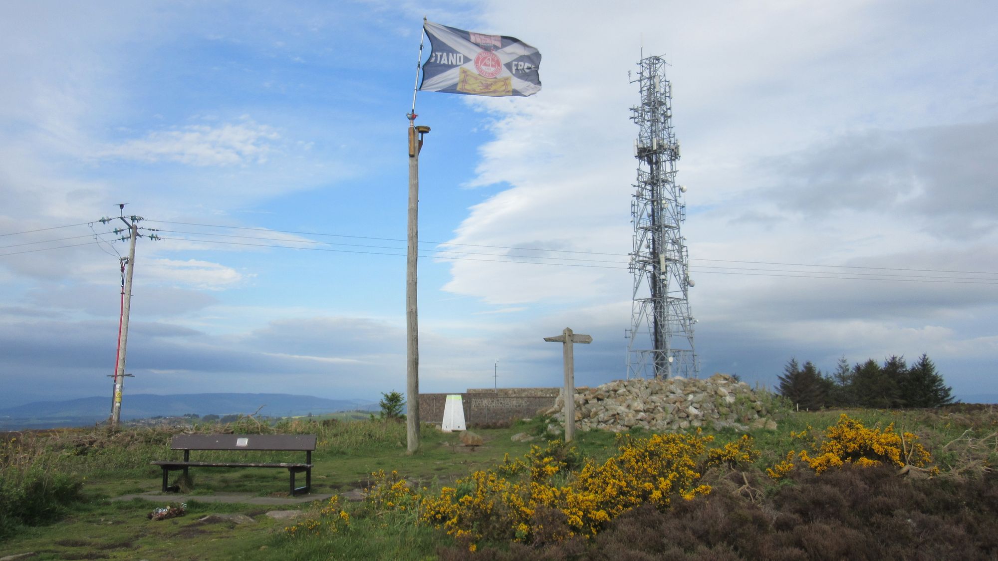
Brimmond Hill's cluttered summit.
Brimmond Hill was easily traversed and descended, and I passed under the A90 and made my way into Aberdeen via a mix of minor roads and tracks, at least until Northfield after which it was nothing but increasingly busy city streets.
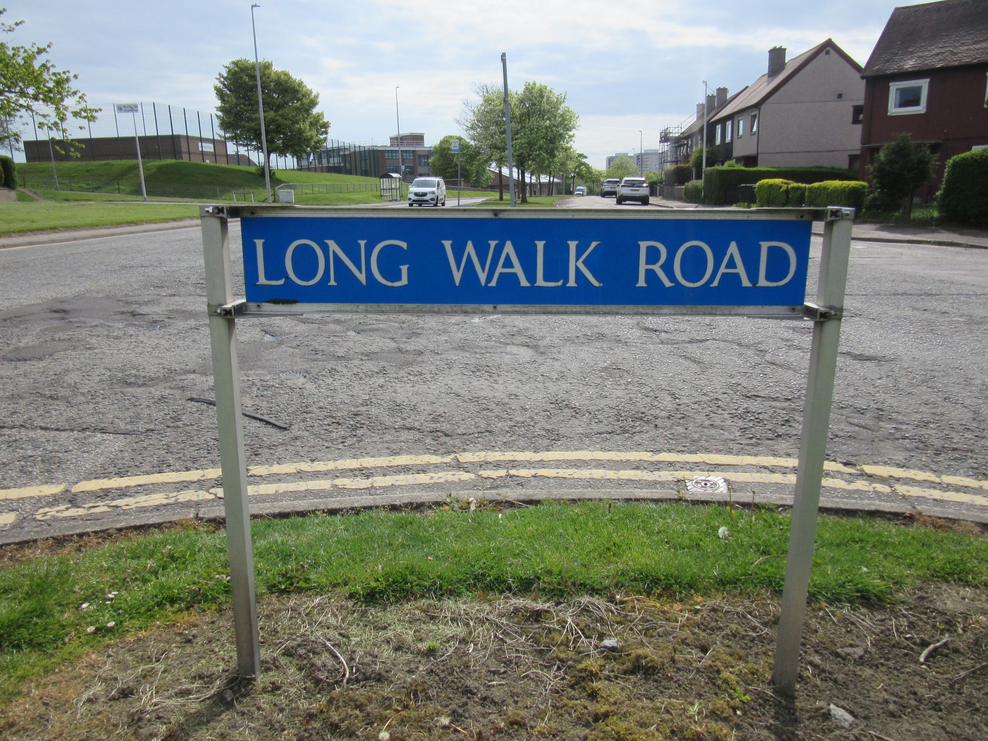
Appropriately named.
Approaching the beach at last, a final sting in the tail was that much of the entertainment complex along the front was under redevelopment and a bit of a detour around it all was needed. But I at last dipped my boots in the sea and enjoyed some fish and chips before heading back into town and the station to catch a train to Montrose and checking in with Challenge Control at the Park Hotel.
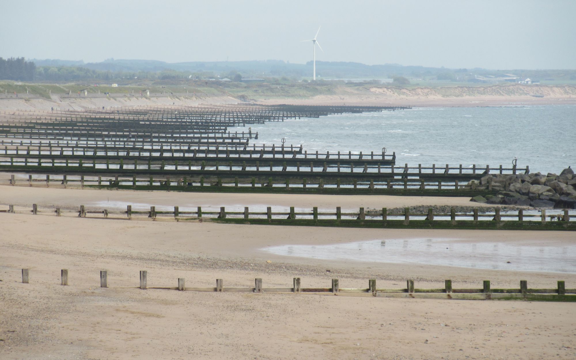
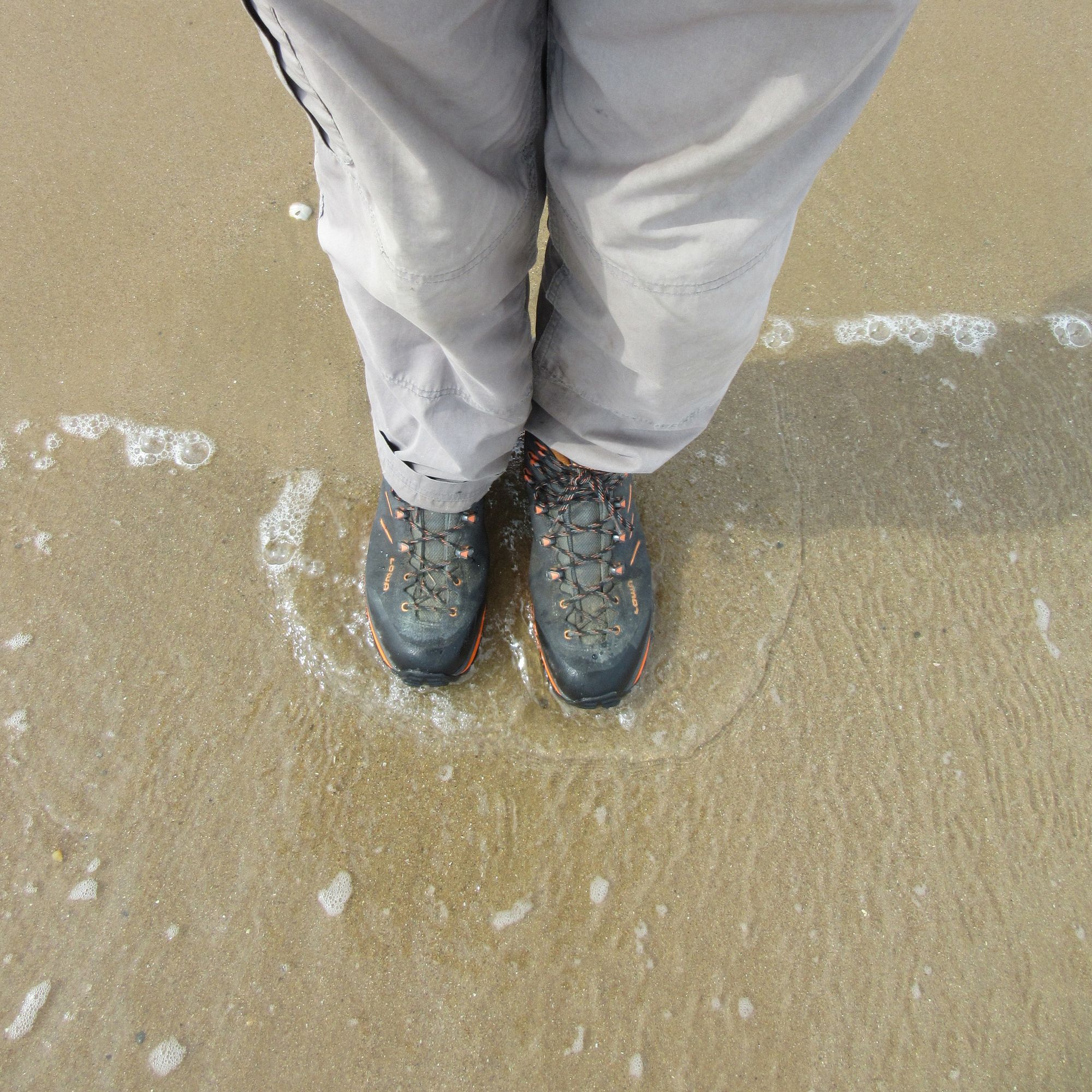
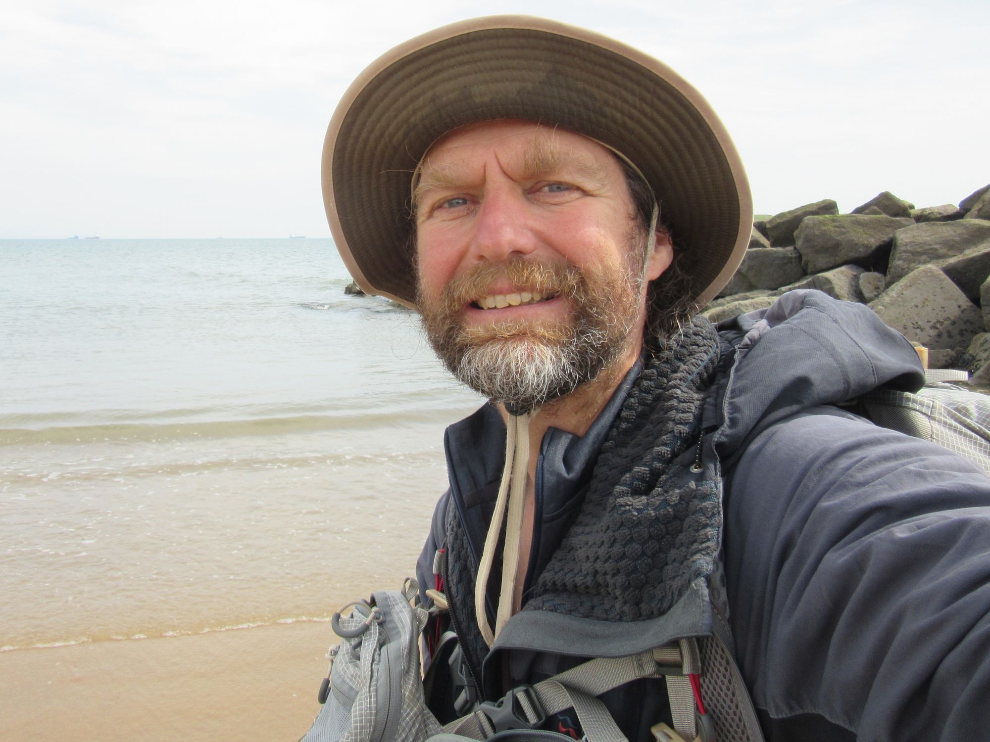
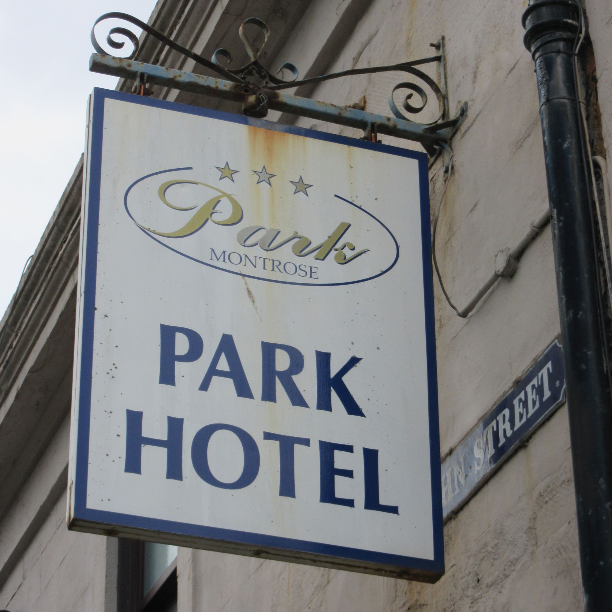
Journey's end of a third TGO Challenge.
Epilogue
Some numbers
Of 14 nights on the trail, I spent 11 of them wild camped, one night in a hotel (Drumnadrochit) and two (unplanned surprise) nights in a (non-MBA) bothy. The 11 wild camps made a useful contribution to my "60 for 60" project this year.
From a hill-bagging point of view, this trip was all about the Grahams: I visited 12, of which 11 of them were new-for-me list-ticks. I got past the halfway point (on the 231 600m+ "New Grahams" list) and the last one of the trip got me up to 122 of them done.
Distances and height gain actually done it's hard to be sure about because I ended up using FWAs and making other variations several times, but the original route plan had an average 23.6km/day and 848m/day ascent over the first 14 days of the trip (stripping out the final day as it tends to be shorter).
Equipment
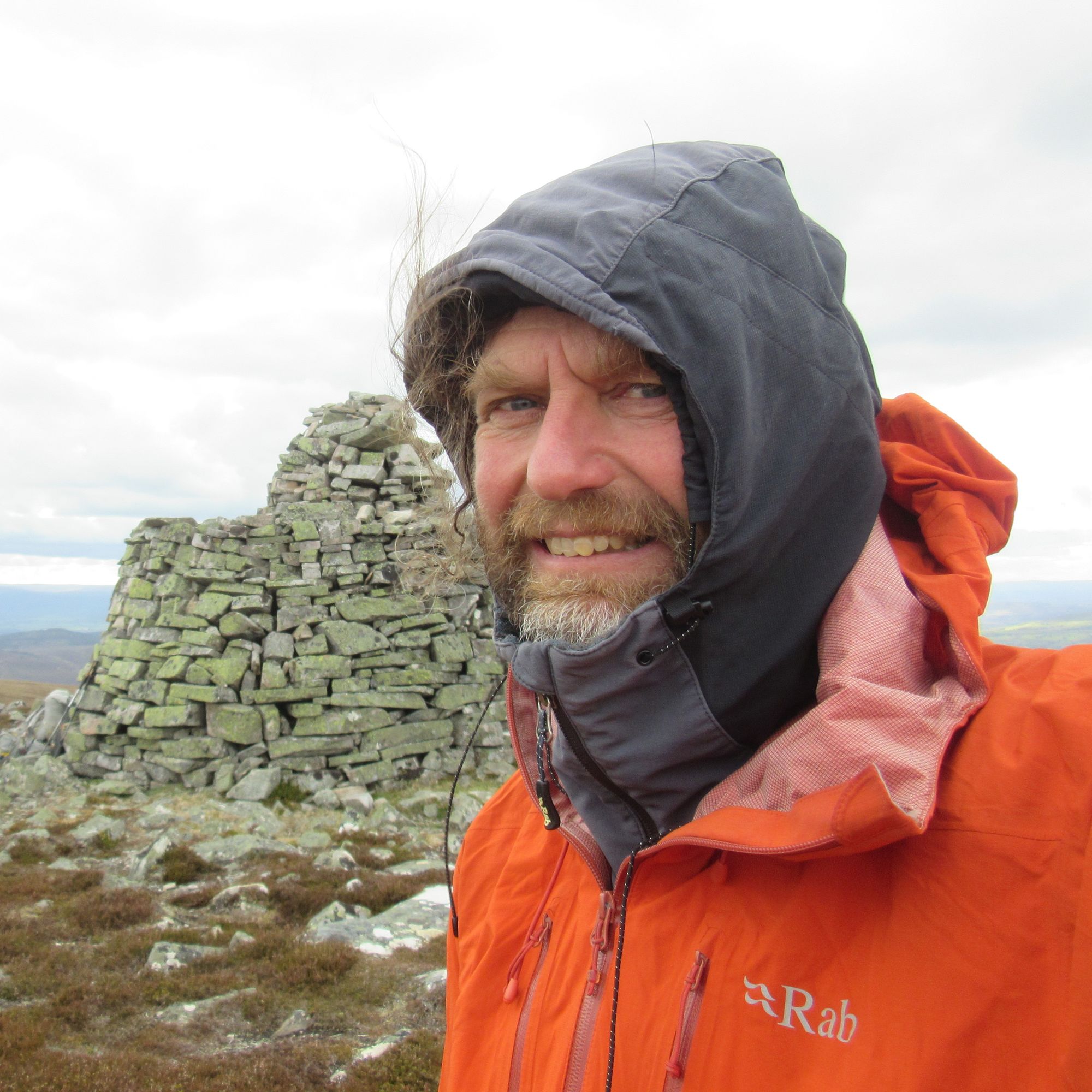
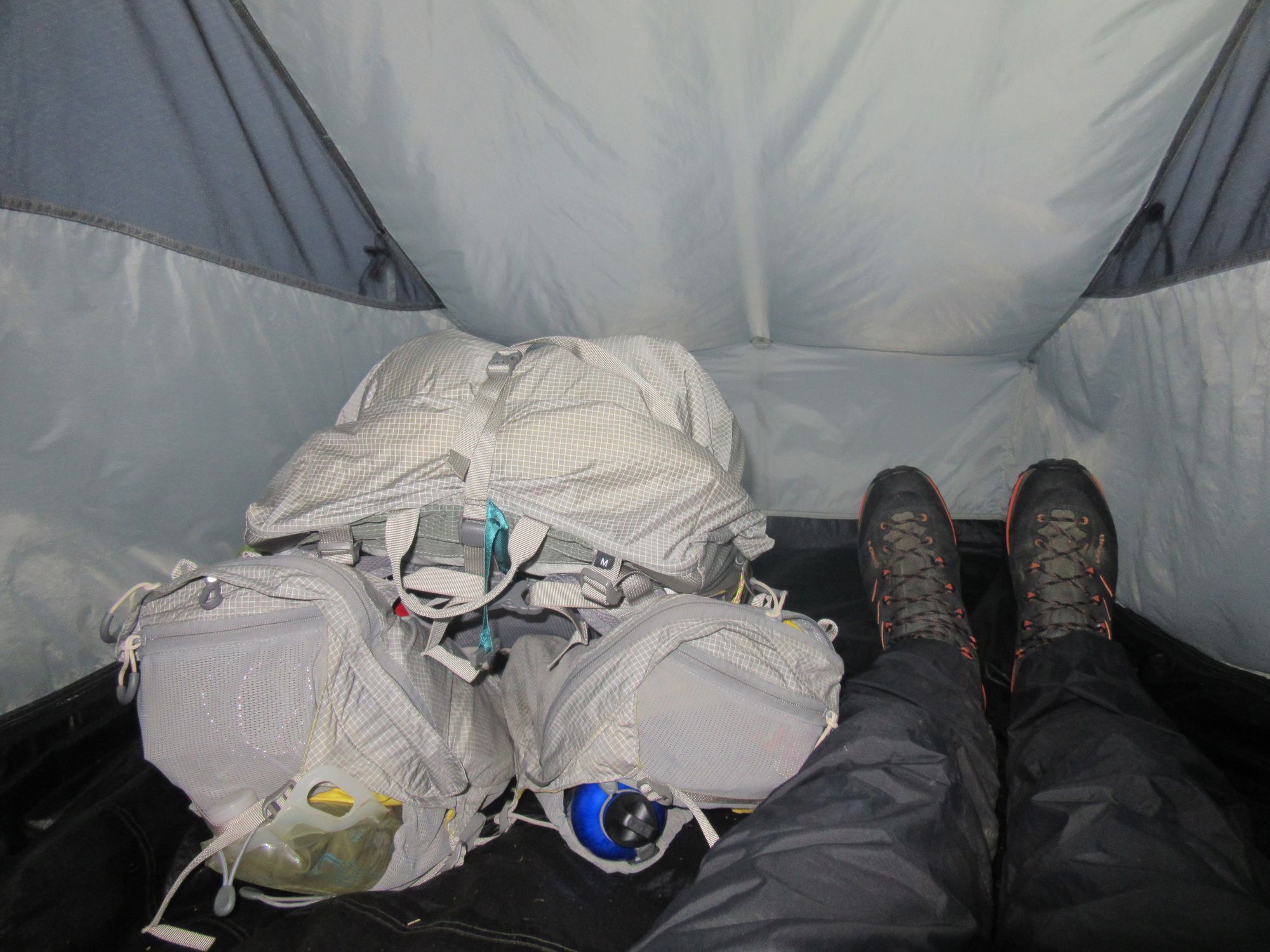
Much the same as in the previous two years. This year I used an Aarn Featherlite Freedom Pro pack which I'd got hold of since last year, replacing an older (non-"Pro") model which was now quite worn. Anticipating it'd be colder I also used a warmer (but heavier) soft-shell jacket (an old Rab Guide with gridded fleece lining); previous years I'd had an ancient Rab Phantom. Boots were "Lowa Randir GTX Mid"s replacing the heavy leather Scarpas used on my previous two Crossings.
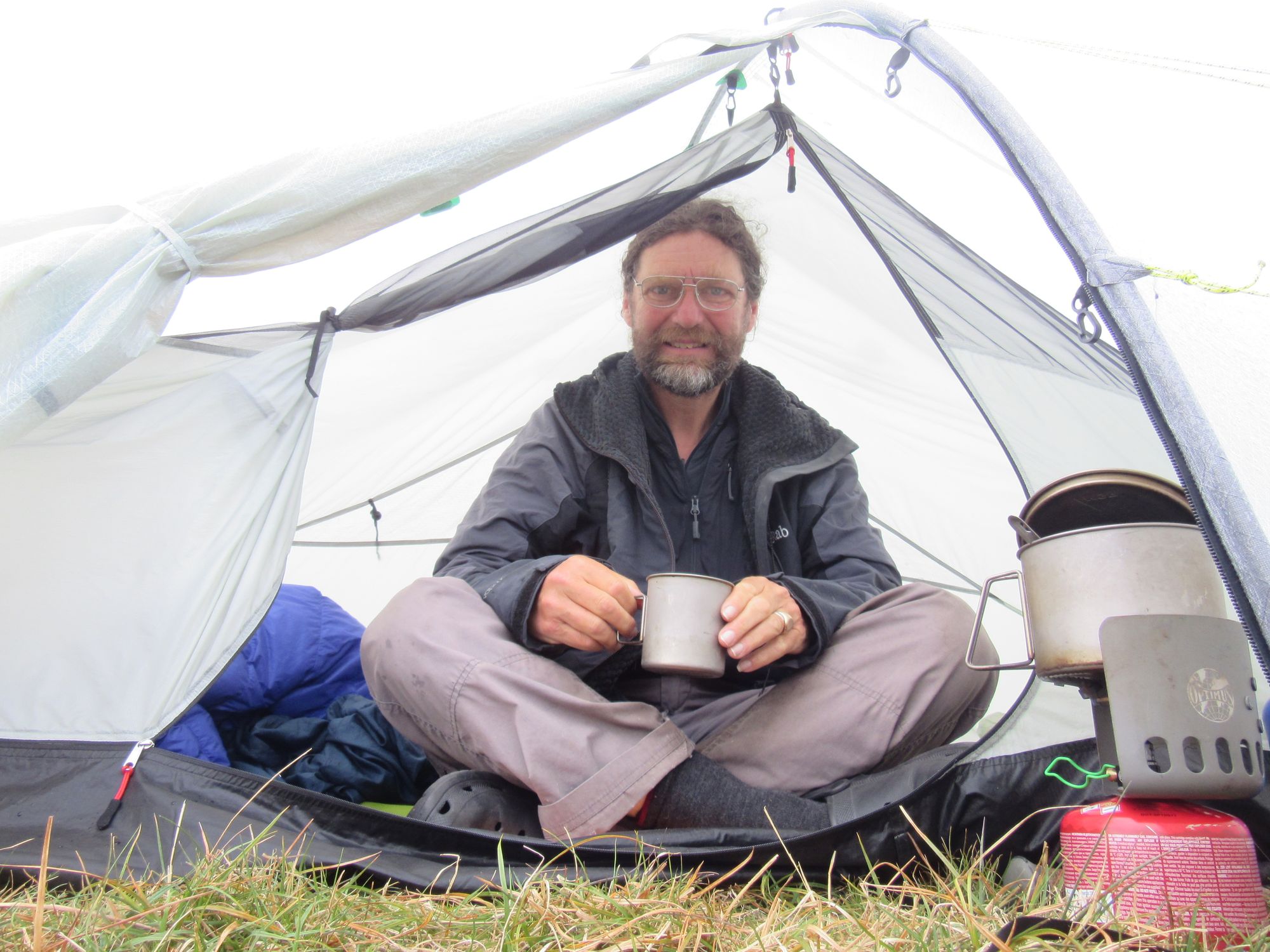
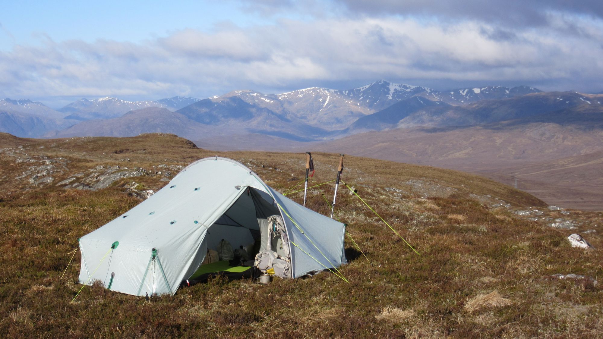
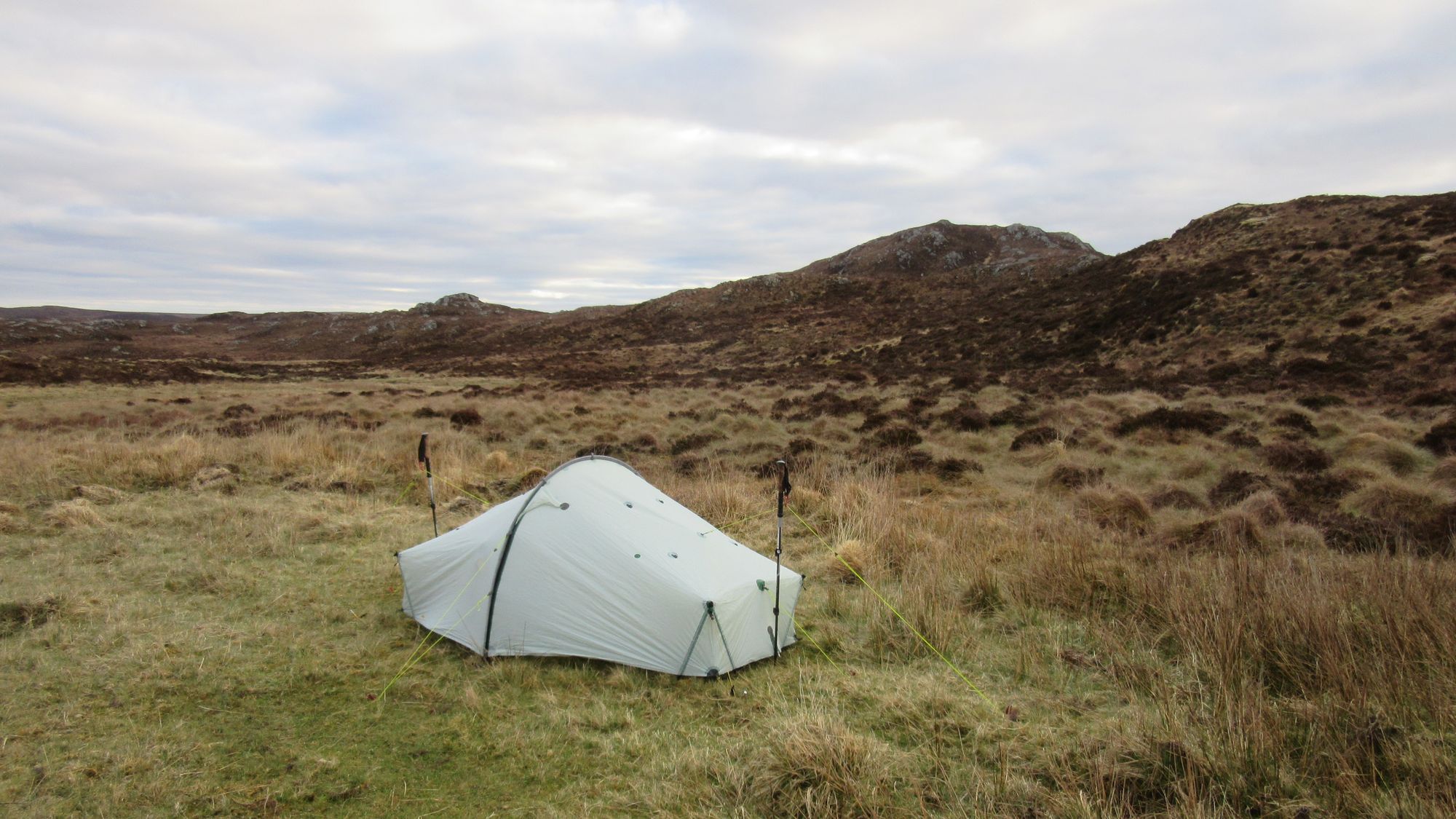
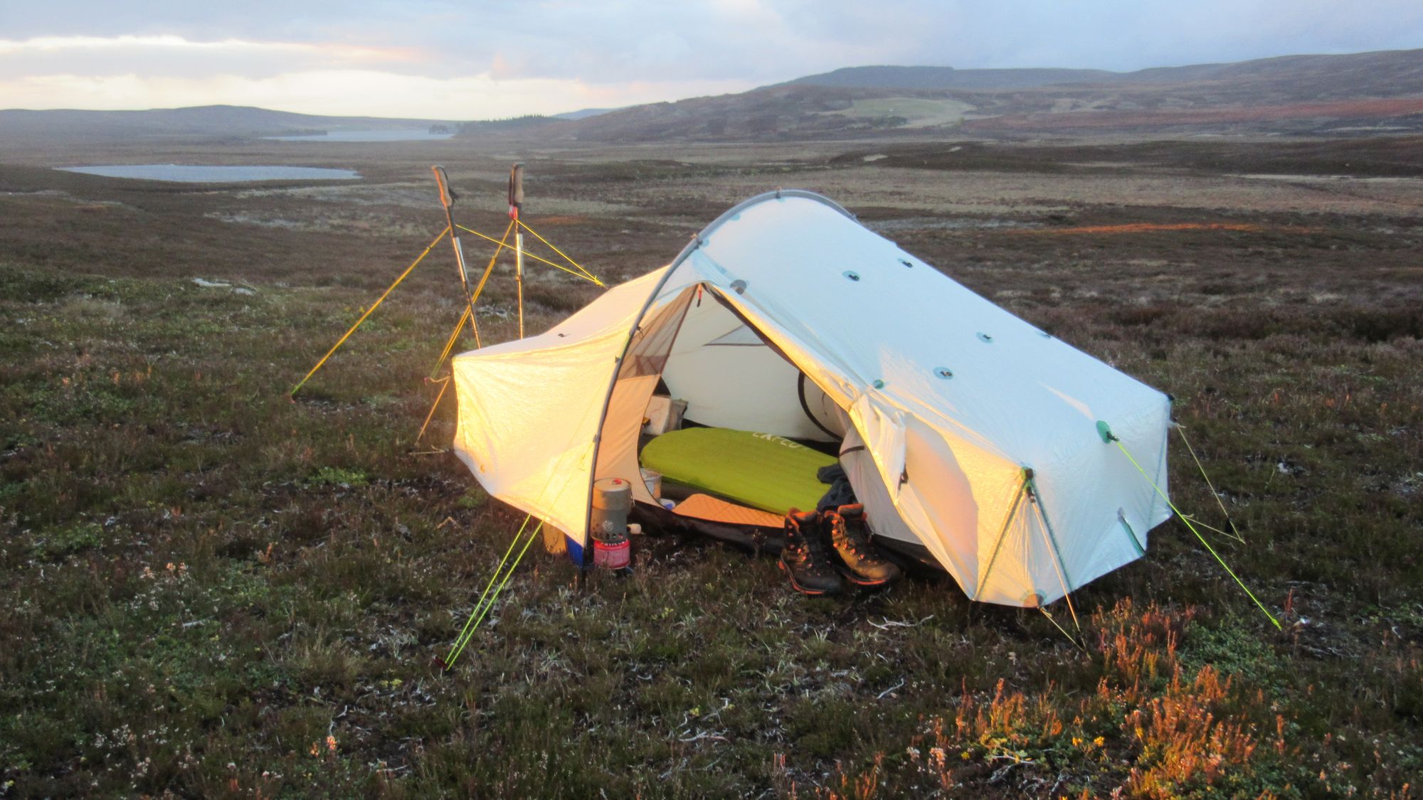
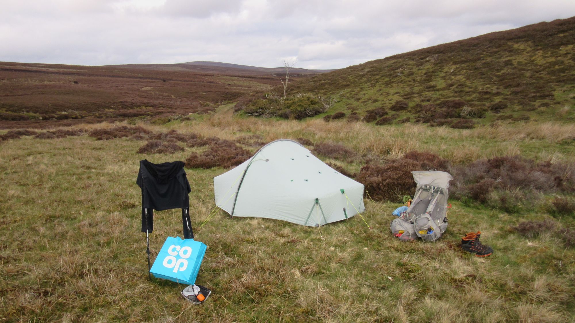
In the Tarptent Scarp Ultra tent I've used for three TGO Challenges now.
What would I have done differently?
This was my coldest, dampest Challenge so far. I managed to stay dry enough, but I was borderline too cold most nights despite my PhD bag supposedly being rated -5C. Once I got hold of some thermal leggings in Grantown-on-Spey it was much better sleeping with those on, so I wish I'd simply taken some in the first place.
The route was basically fine, although the reality was I ended up varying it quite a bit when taking a longer but more certain way on road or track looked more appealing than the direct cross-country route I'd plotted on the map.
Back again next year?
Oh yes. I already have a Portavadie to Arbroath route sketched out.