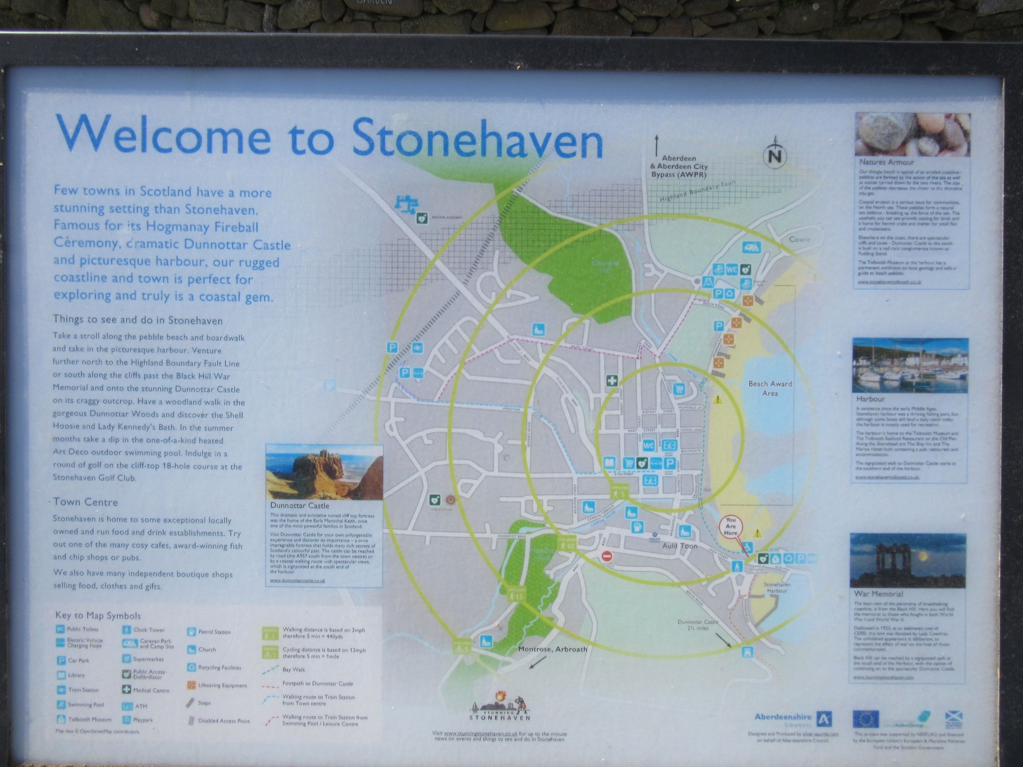
TGO Challenge 2025: Acharacle to Stonehaven via the 4000ers
"a worthy goal but one which has probably been attempted more often than achieved"
Preamble
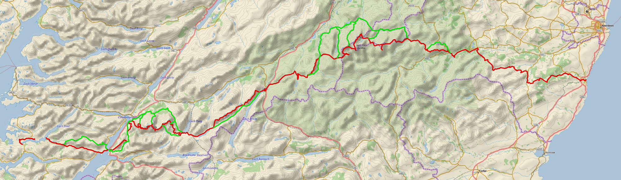
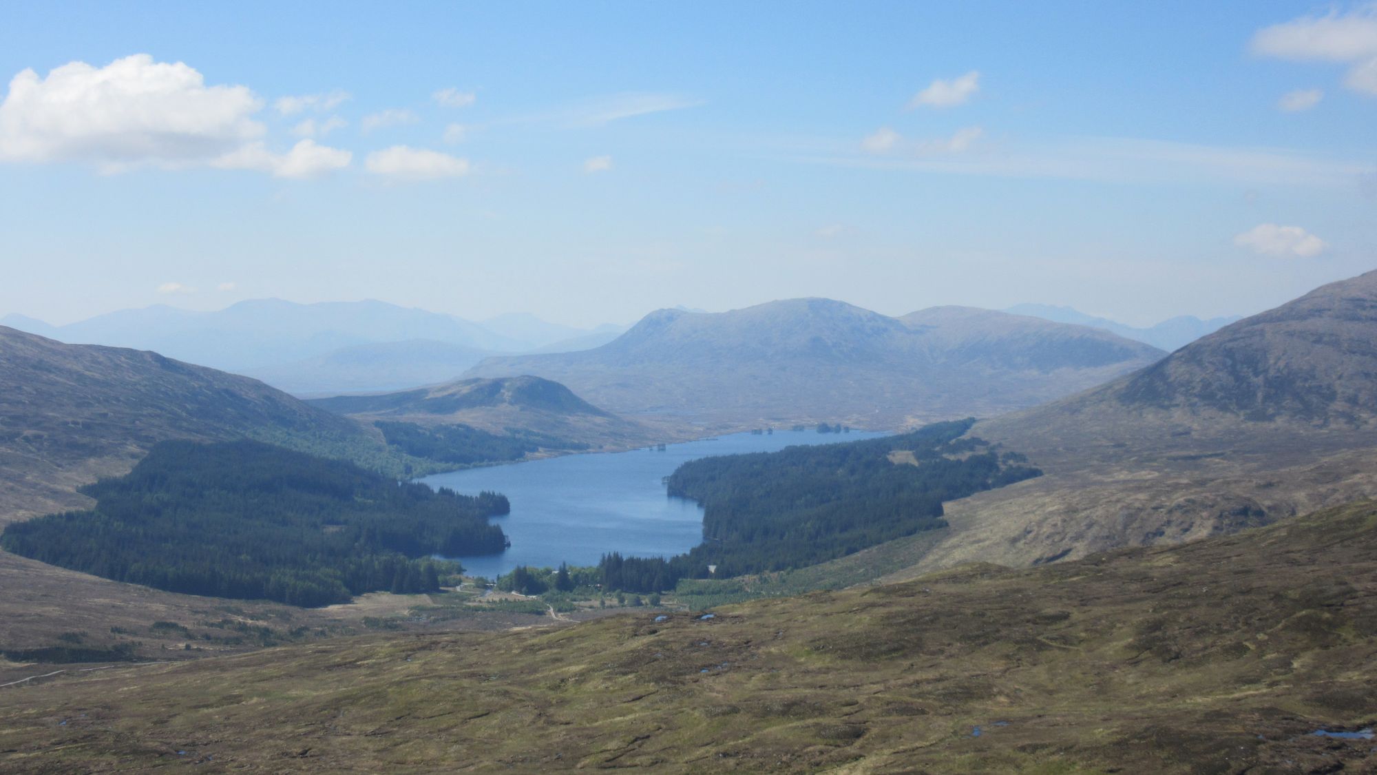
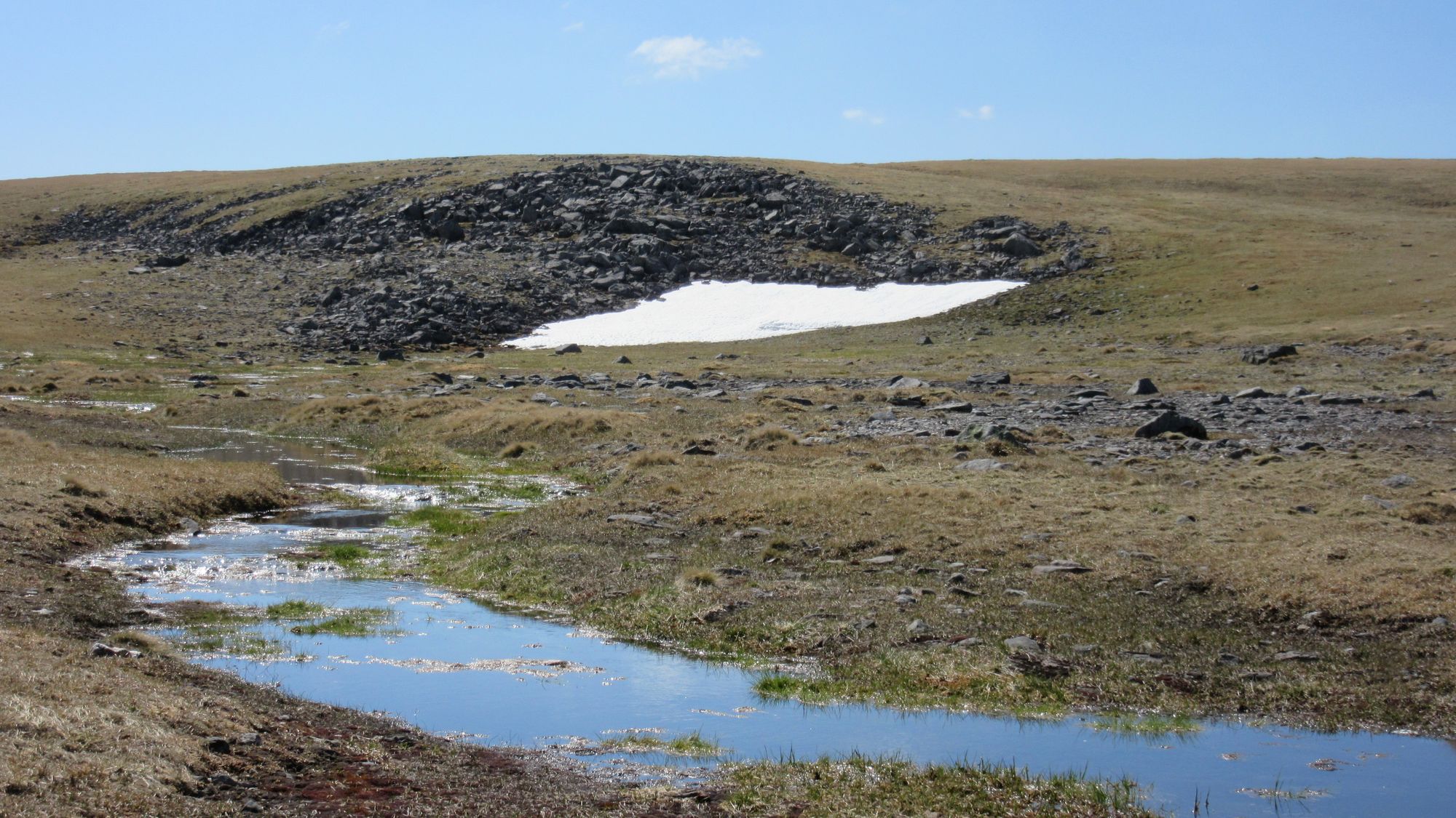
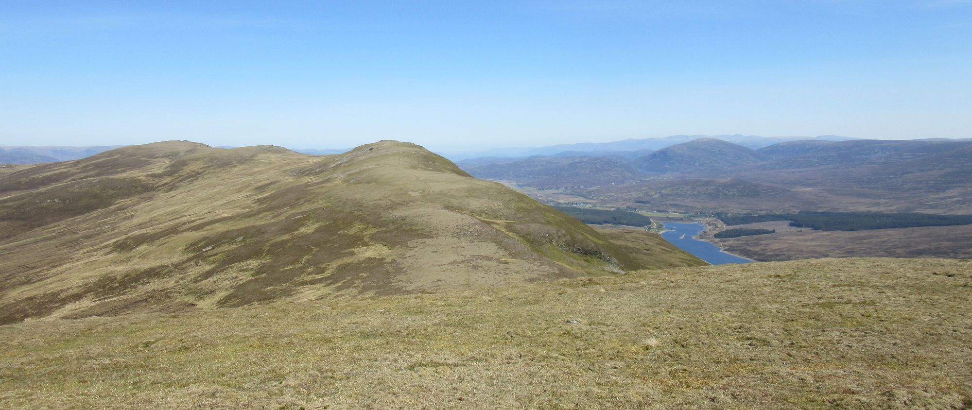
Someone warned me last year that The Challenge had addictive qualities, and after my first one in 2024 in brilliant weather I was keen to have another go. This time I wanted to scratch an itch to do a joined-up traverse of all nine of Scotland's 4000ft peaks; these sit in a cluster of four in the west (Ben Nevis, CMD & the two Aonachs) and five in the Cairngorms (Braeriach, Sgòr an Lochain Uaine, Cairn Toul, Ben Macdui & Cairn Gorm). A wish to revisit Ardgour - somewhere I have not been enough! - dictated the Acharacle start, and a desire to not repeat the last days of the previous year's route into Montrose had me select Stonehaven as an interesting-sounding finish. Taking those requirements together - along with me wanting to generally stay high and tick off a few more of my un-bagged Grahams (2000ft+ hills) along the way - pretty much dictated the rest of the route to be taken.
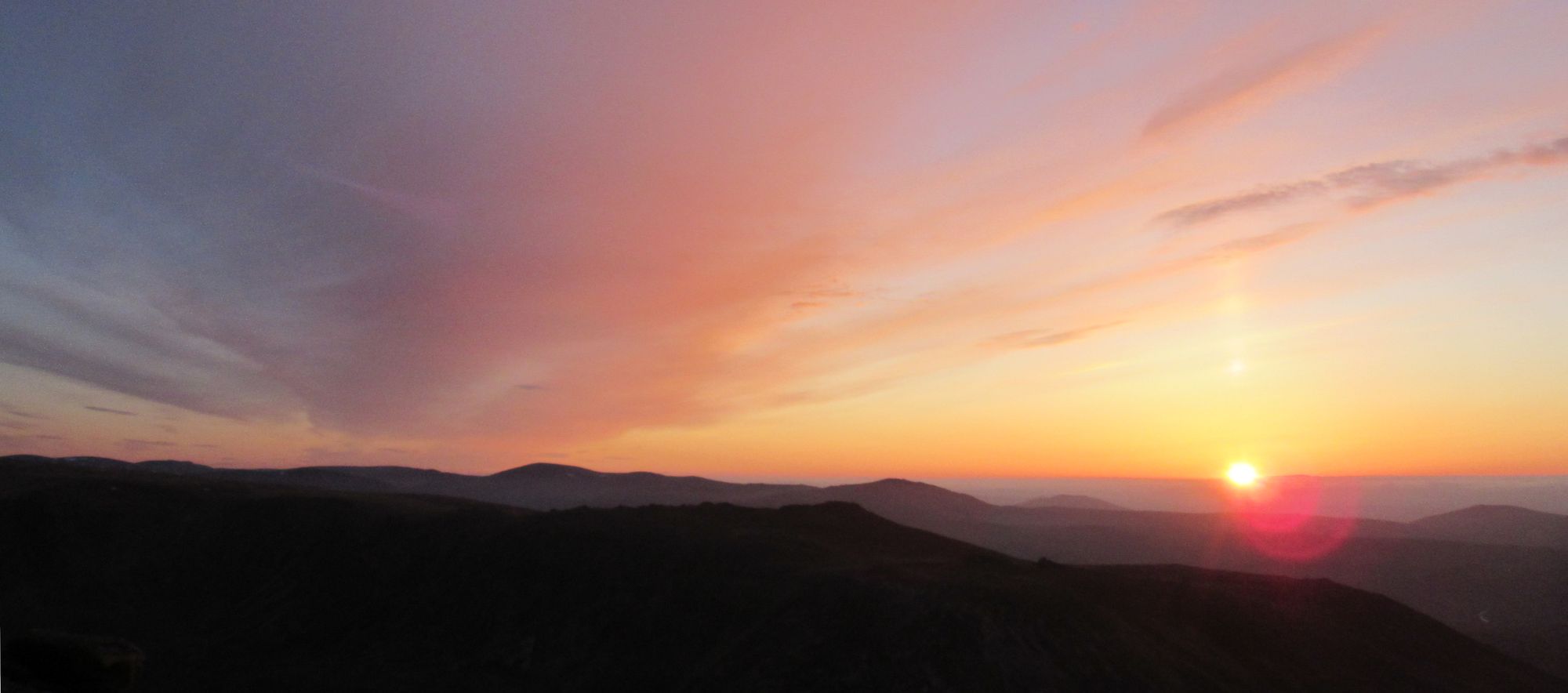
After last year's generally fantastic weather, I was not all that optimistic that such good conditions would be repeated: I suspected I might have used up all my TGOC "weather karma"! The success of the plan would surely depend on it not being sabotaged by foul weather on one or the other of the two critical periods traversing the highest ground. Colin - my TGOC route vetter again this year - was most encouraging about the plans but cautioned me that my objective was "a worthy goal but one which has probably been attempted more often than achieved"!
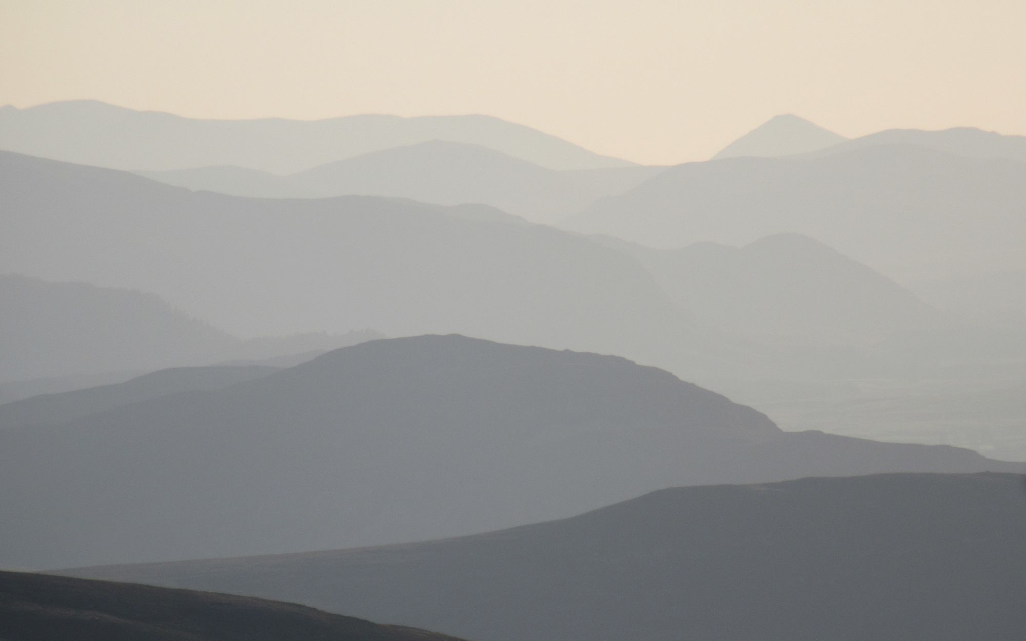
As it turned out, the weather was even better than last year - too hot even, according to some participants - and again I was able to stick to the main planned route throughout, with some minor variations.
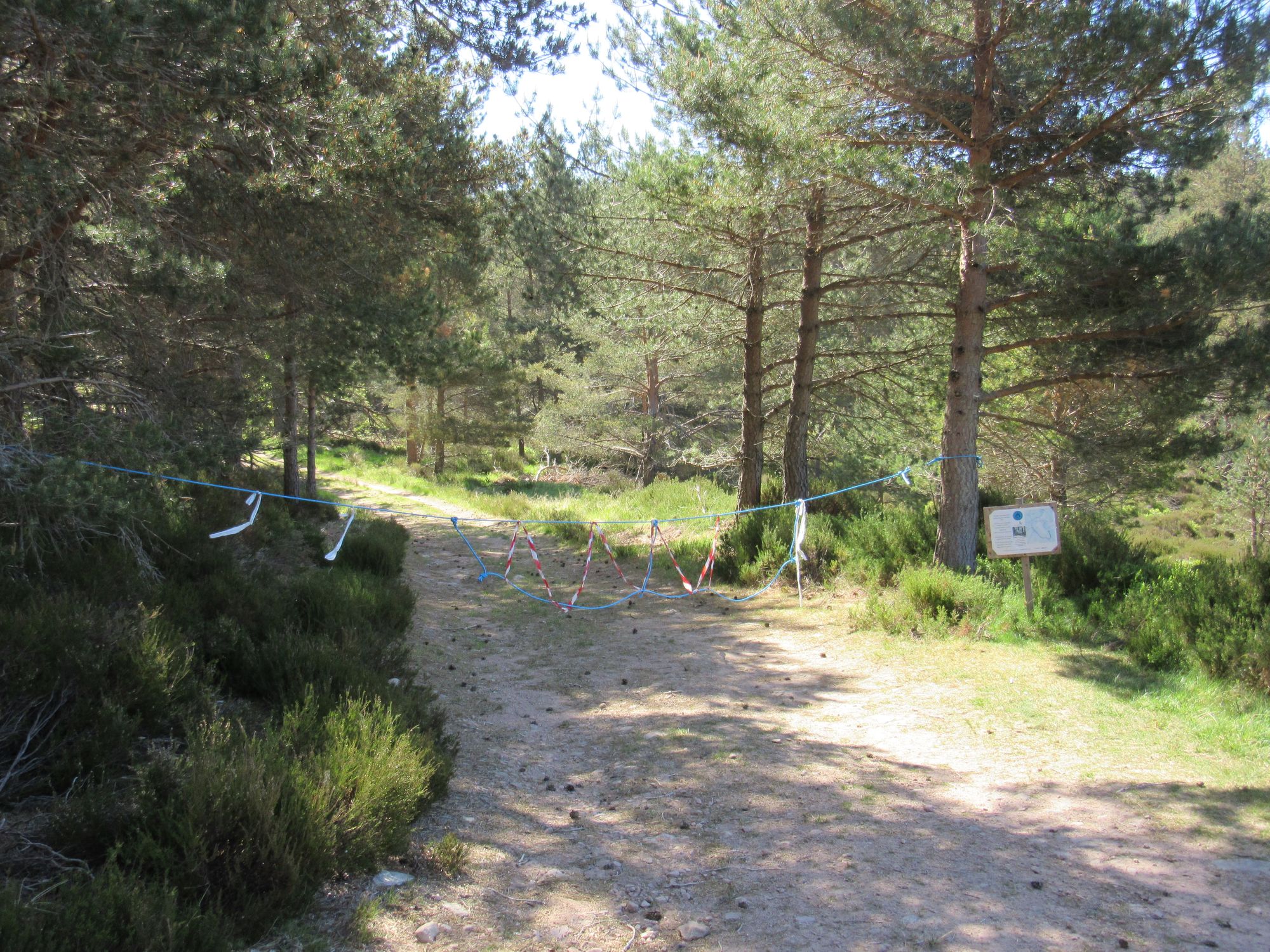
The route description at the start for each day below is adapted from my route sheet submission, but edited to be what actually happened (mainly related to stopping a little earlier or later than planned to enjoy a summit camping opportunity). G/C/M/MT indicates a Graham, Corbett, Munro or Munro Top. The normal TGOC convention is to limit route descriptions to locations listed on OS 1:50,000 mapping but in some cases (e.g "The Sneck" between Beinn a'Bhuird and Ben Avon) I have mentioned things only labelled on 1:25,000 maps.
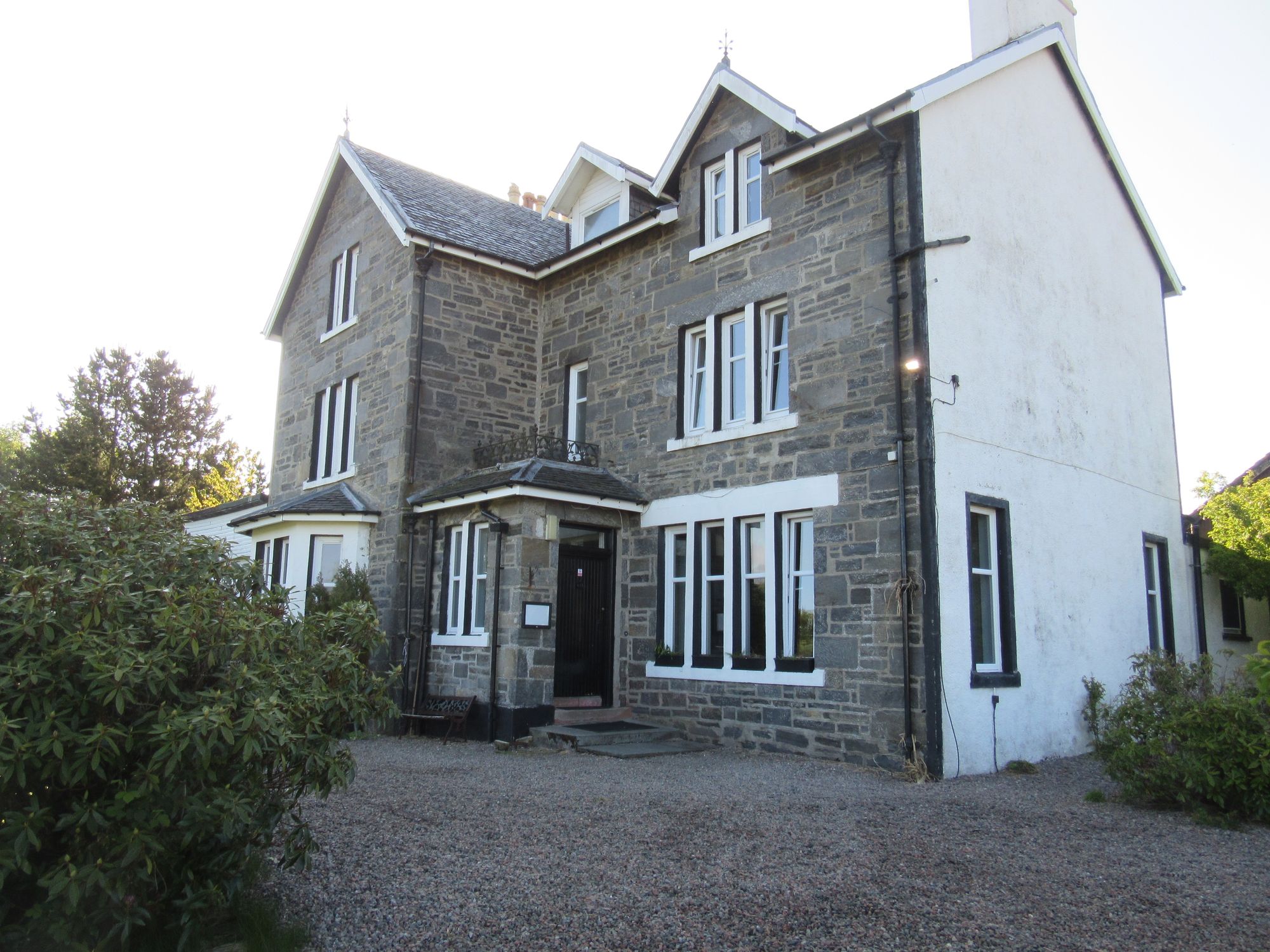
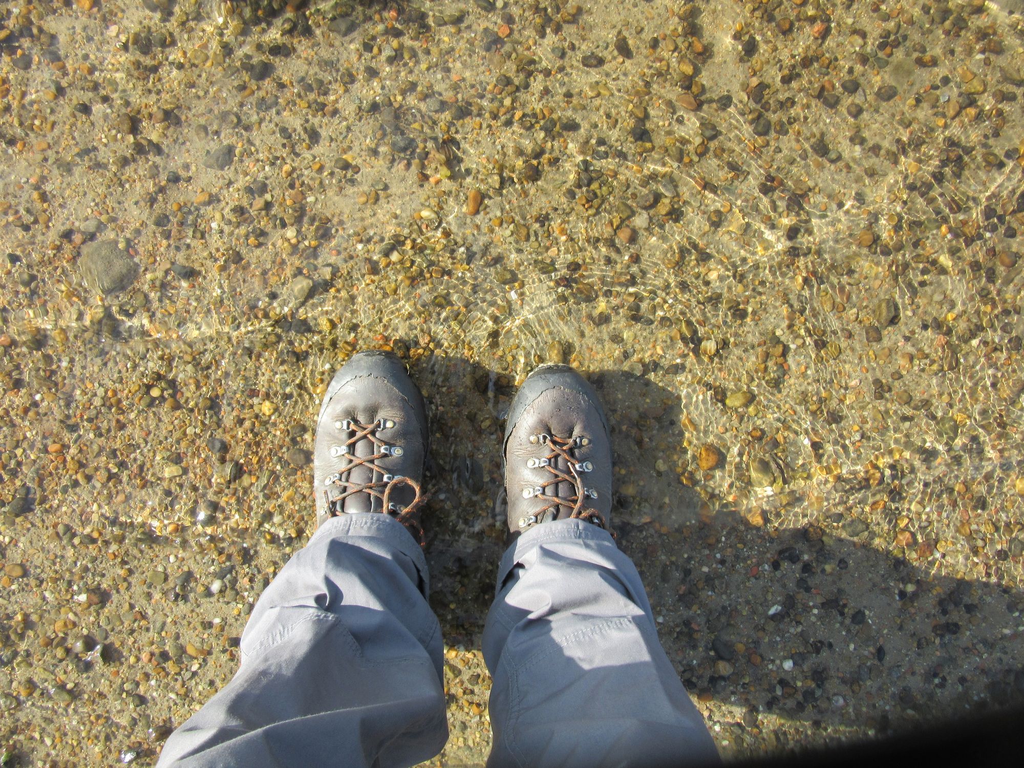
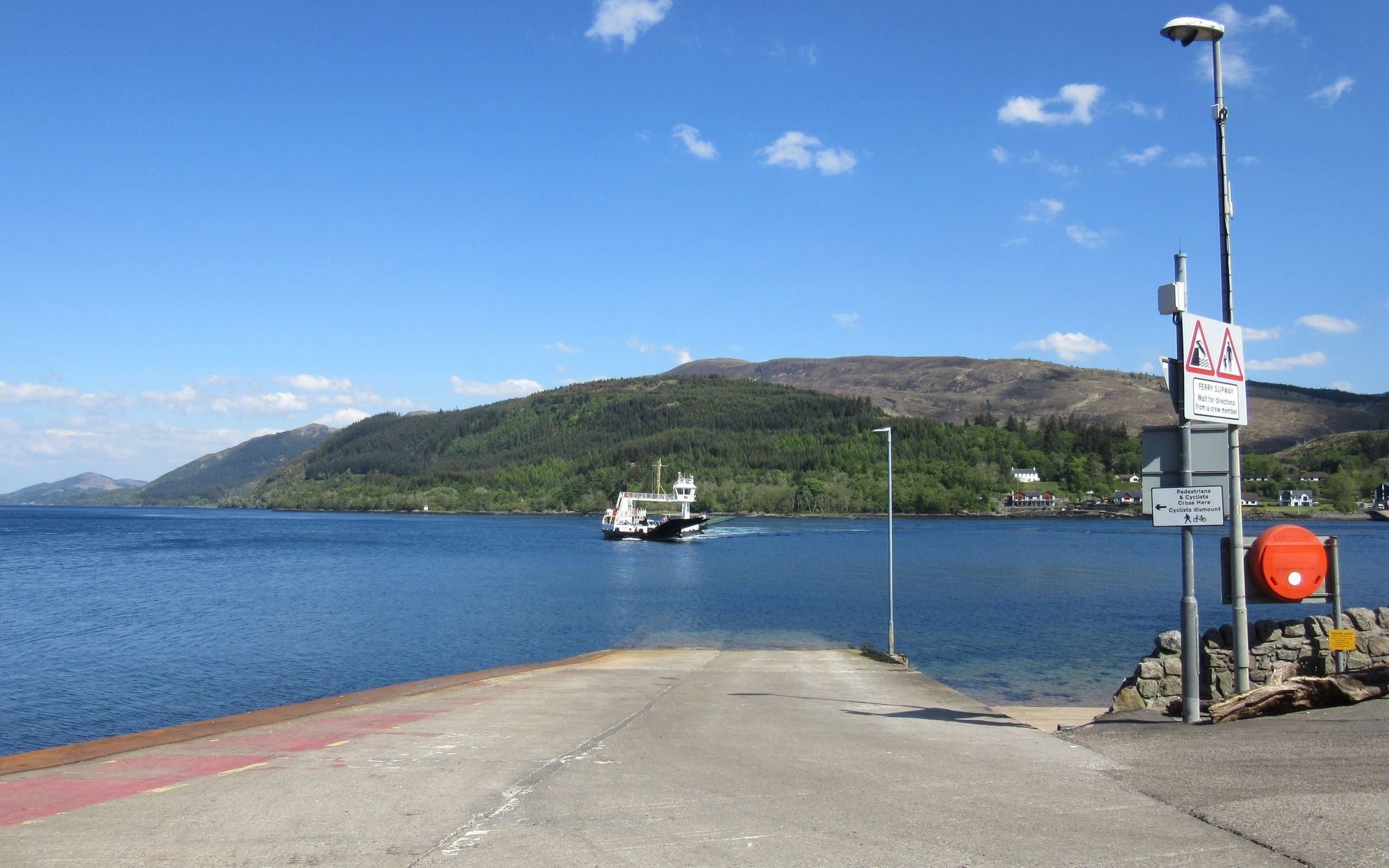
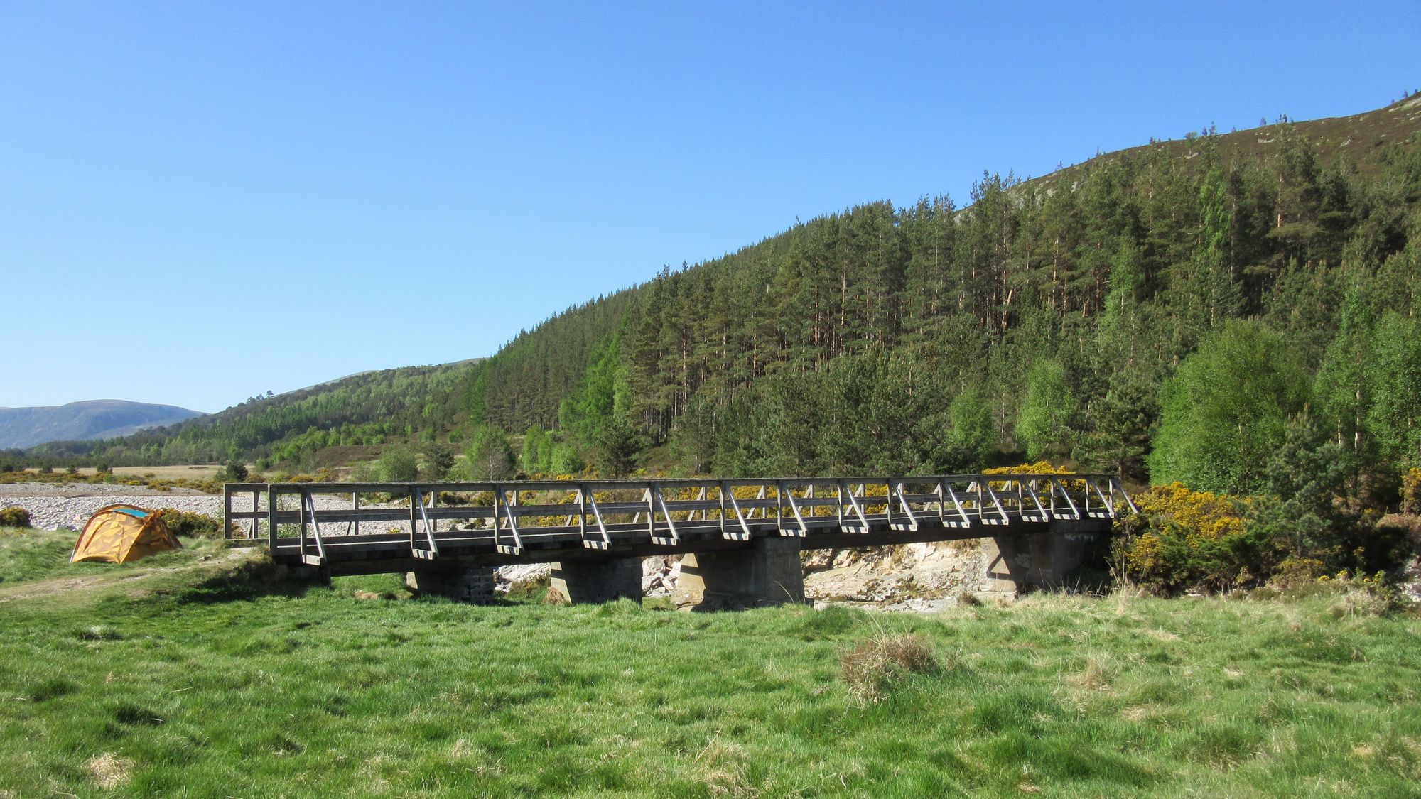
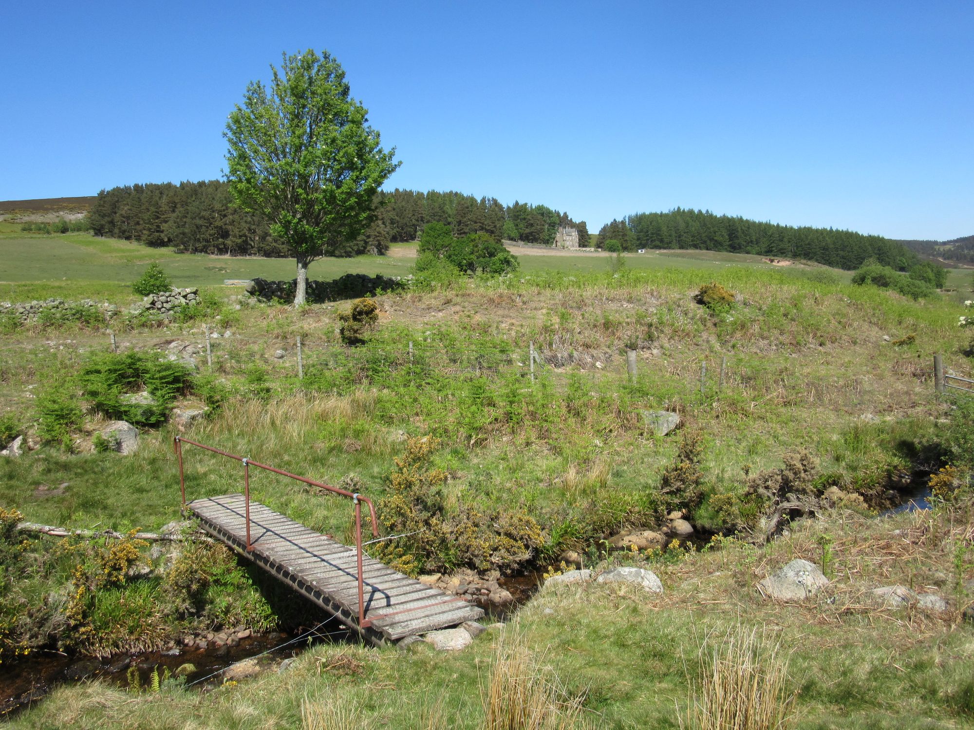
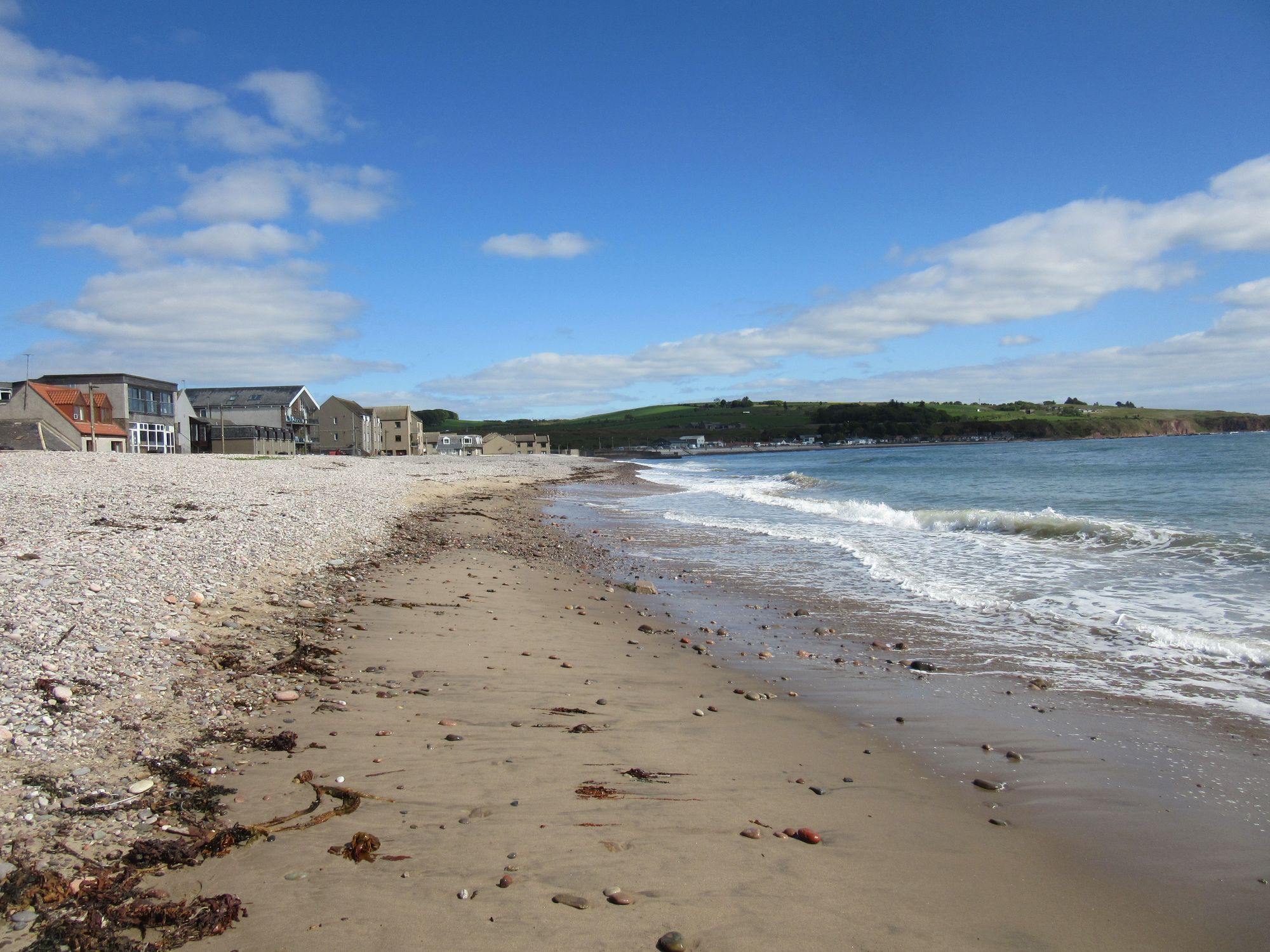
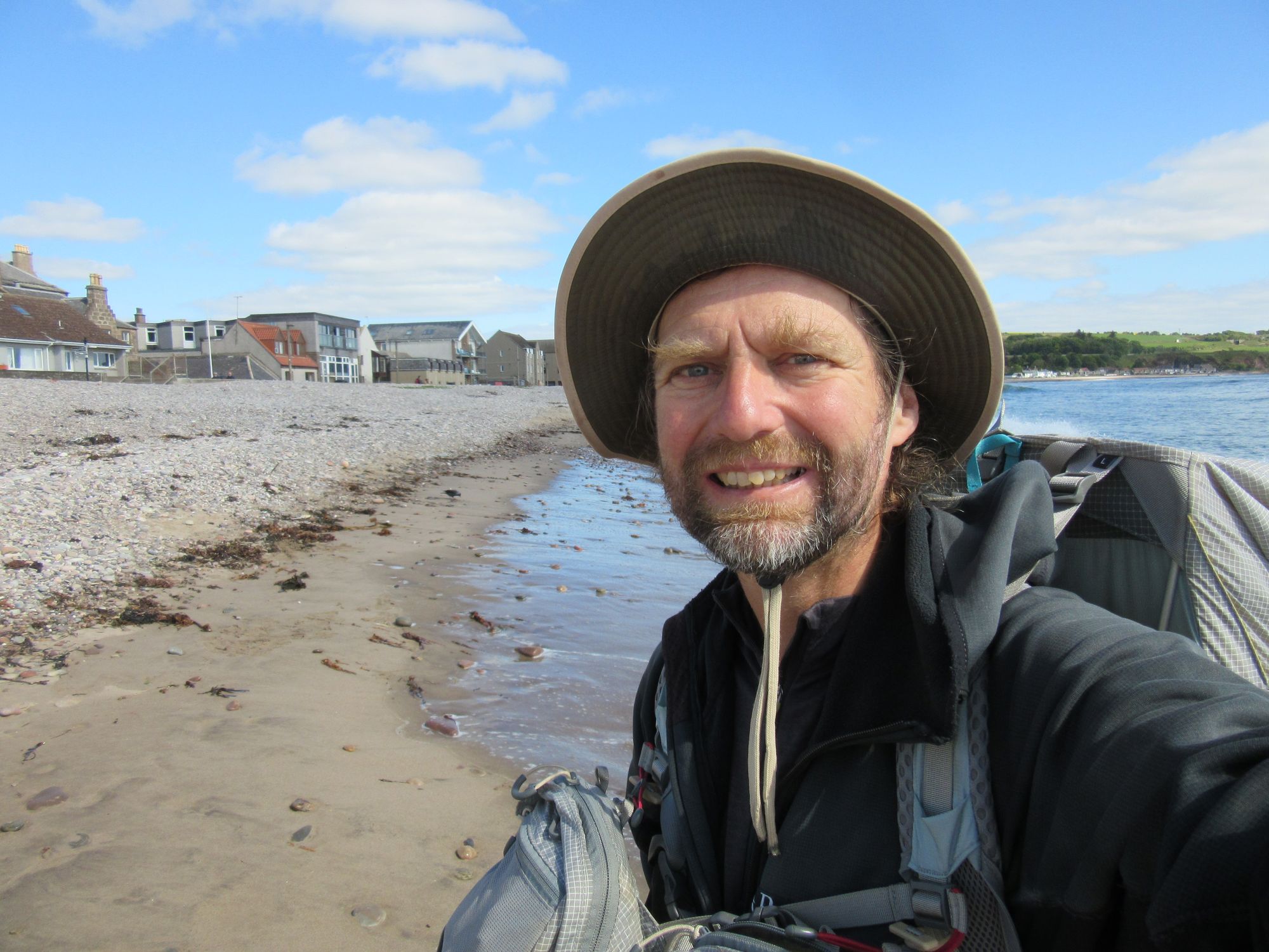
The day before my start date I reached Acharacle by train to Fort William and then the midday-ish bus via the Corran Ferry to arrive in the afternoon to stay in the Loch Shiel Hotel, which provided very pleasant last stay in civilised surroundings before pretty much two weeks of wild camps. A few other challengers were around, including a couple of fellow Aarn pack users who'd begun the day before at the Kilchoan start point further west. Since the TGOC is supposedly a coast-to-coast enterprise but Acharacle itself isn't on the coast, before dinner I wandered the few kilometres down to Kentra Bay to dip my boots in some sea; fortunately the tide was in else there would have been little but mud flats. The journey to the east coast could now begin!
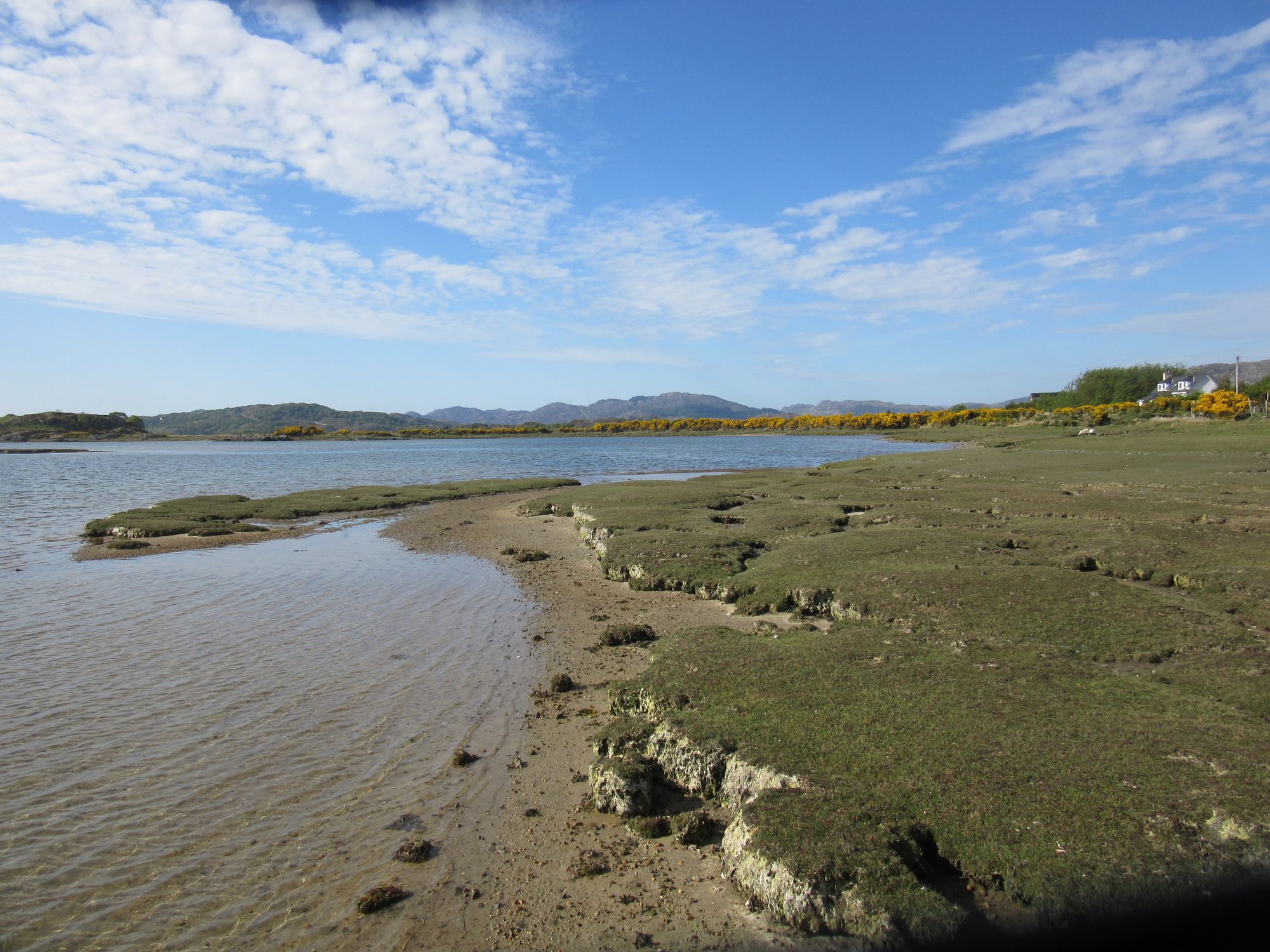
Loch Shiel Hotel and the "beach" at Kentra.
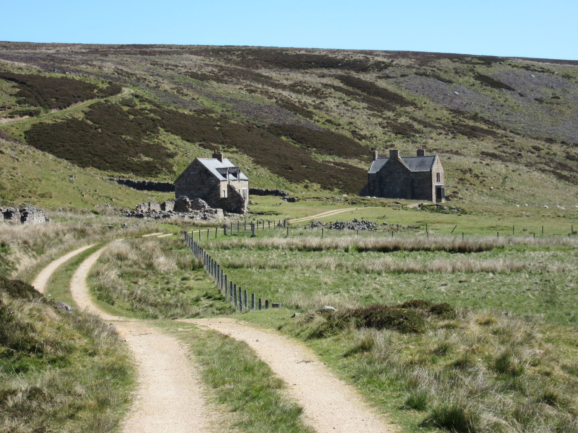
Day 1
Acharacle - N then E on A861 to Langal - Dalelia - ferry to Polloch - S then E on road S of Loch Doilet - antenna at Pt.342 - Druim Glas - Druim Garbh - Sgurr Dhomhnuill (888m, C).
After an excellent breakfast at the hotel, I hurried off to get the first bit of tedious road walking out of the way and arrived at the Dalelia jetty well before any trips were due to run. The boatman kindly did a first run as soon as there were two of us there, and it was on being dropped off in the wilds at Polloch on the other side of Loch Shiel that the trek felt it had properly started; a feeling that continued despite some more quiet road walking in this remote bit of Ardgour.
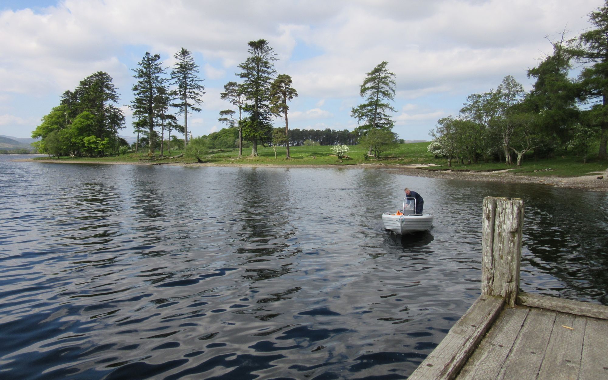
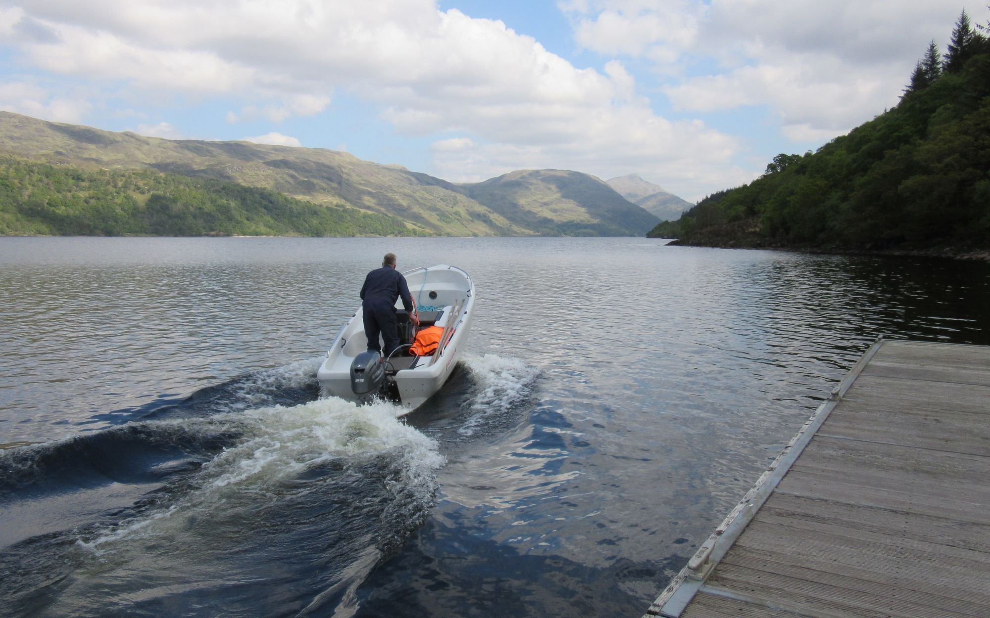
Picked up a Dalelia, dropped at Polloch.
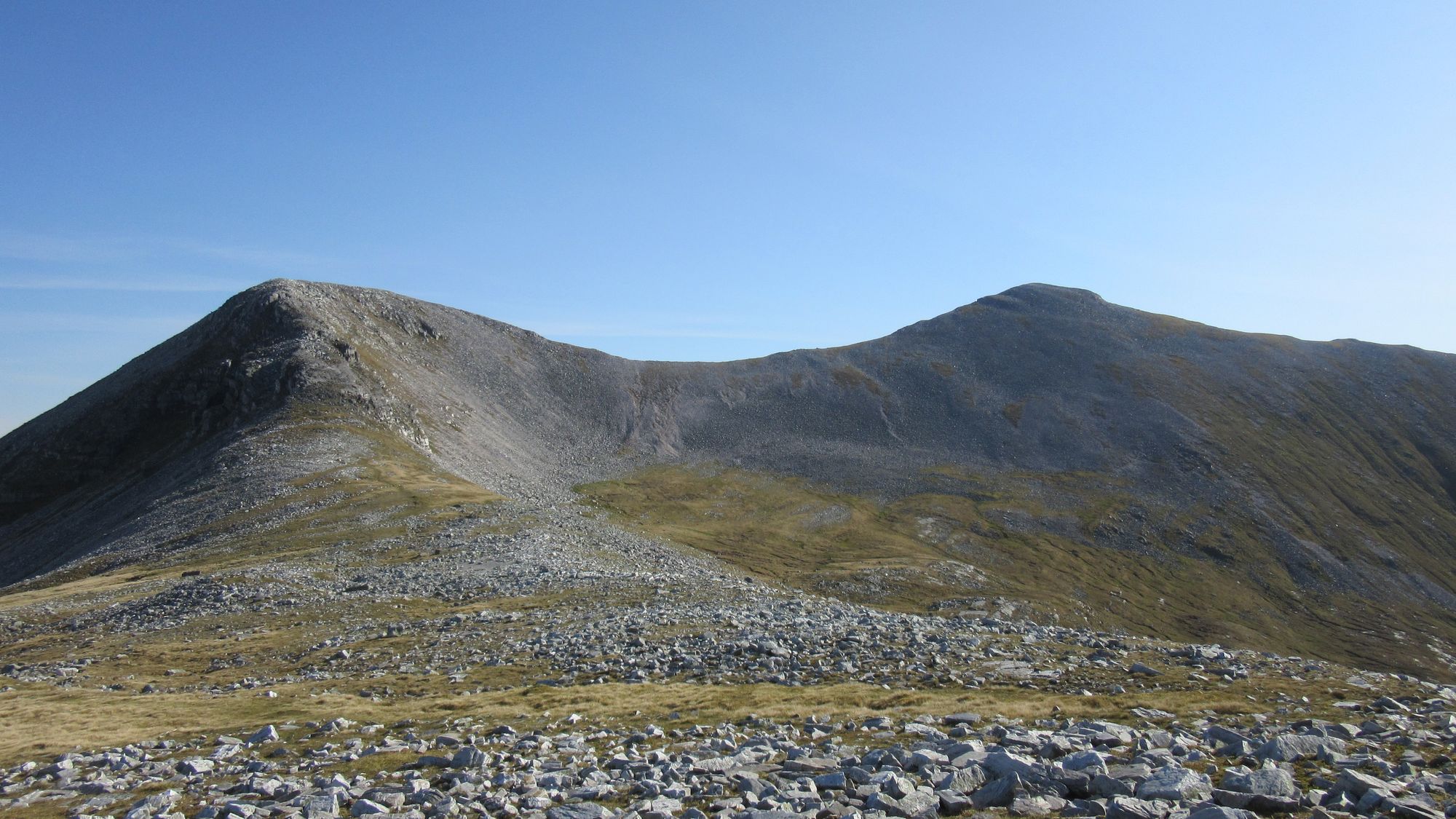
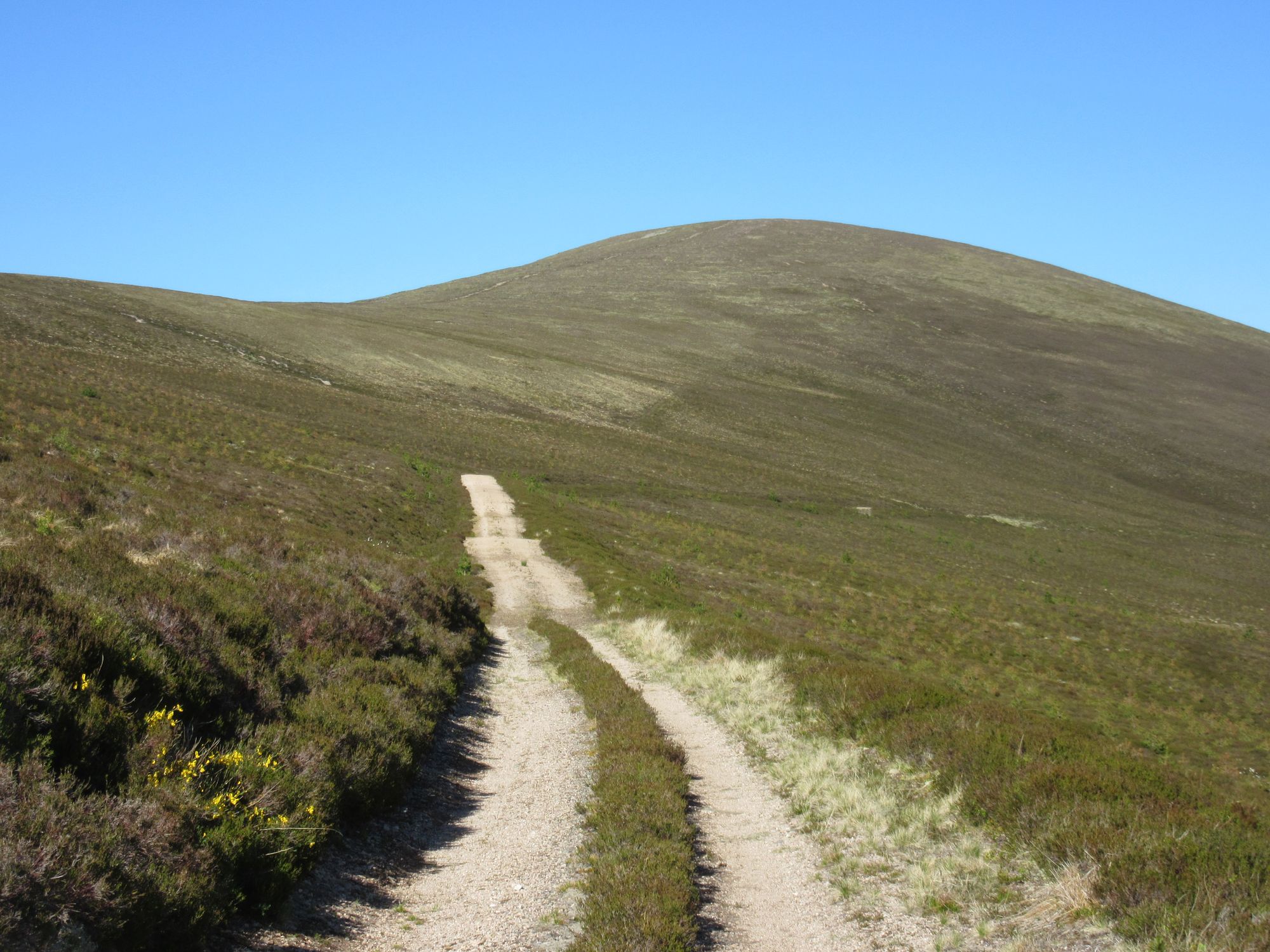
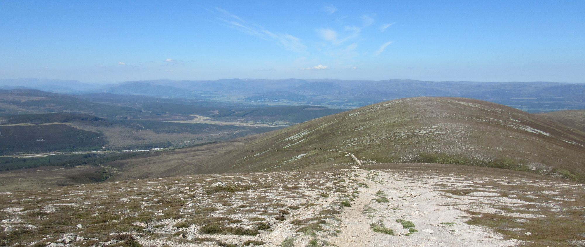
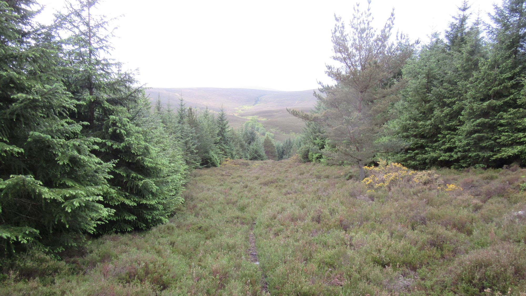
Leaving the road at the high point by an antenna I made my way along a roller-coaster of lumps and bumps towards Sgurr Dhomhnuill.
On the way to Sgurr Dhomhnuill.
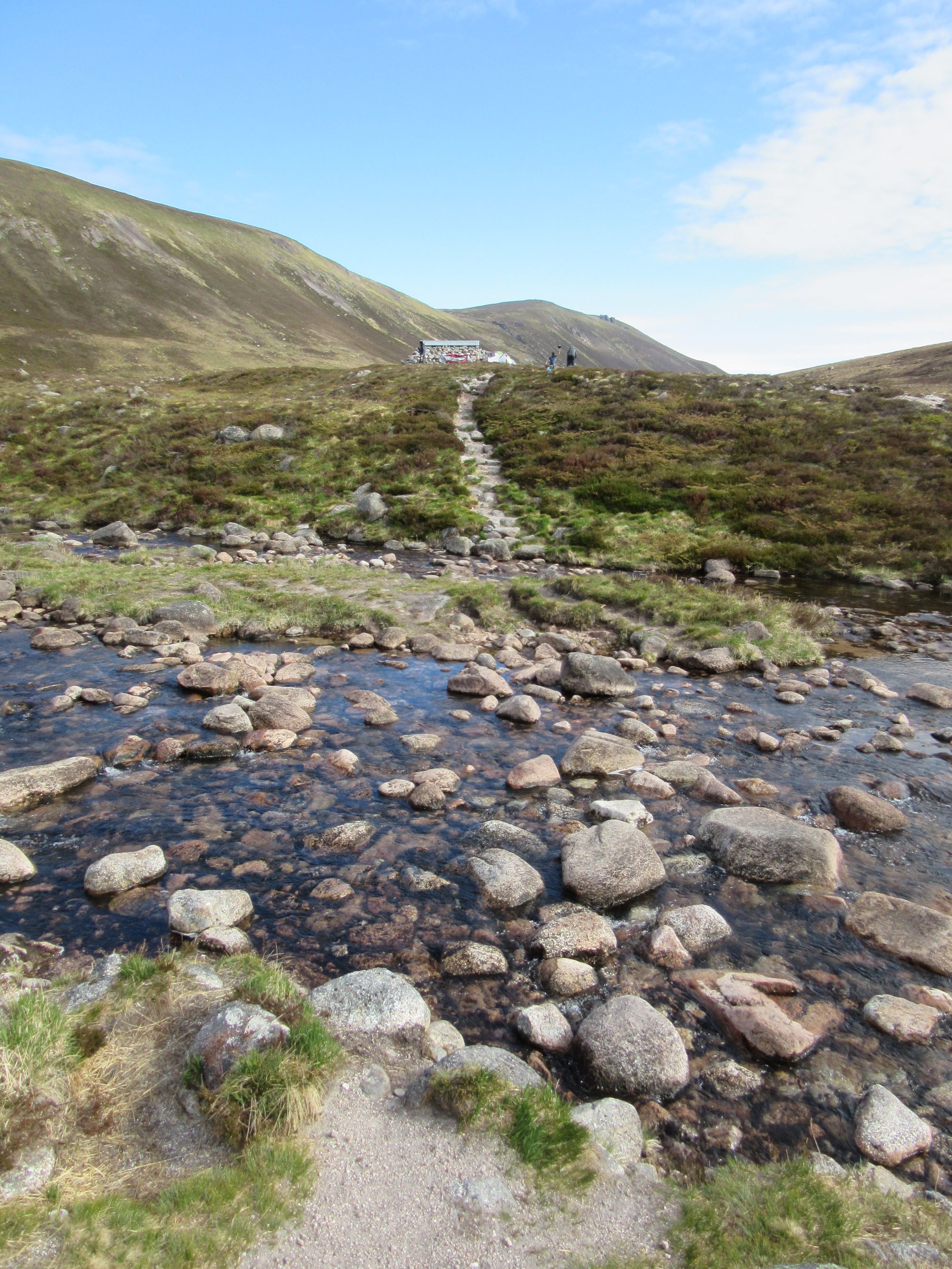
While conditions underfoot were dry, some water for a camp was obtained from the outflow of one of the many lochans passed and the hill's summit gained via a steep and rough climb to the bealach to its south, from where a good path runs up.
On the last lump before Sgurr Dhomhnuill.
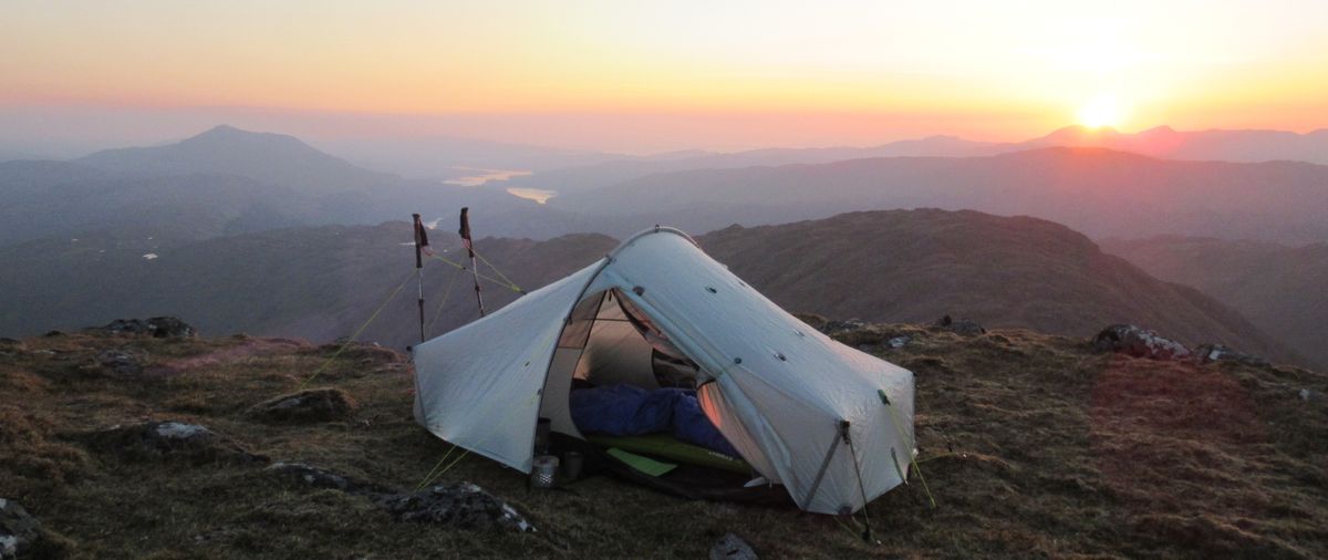
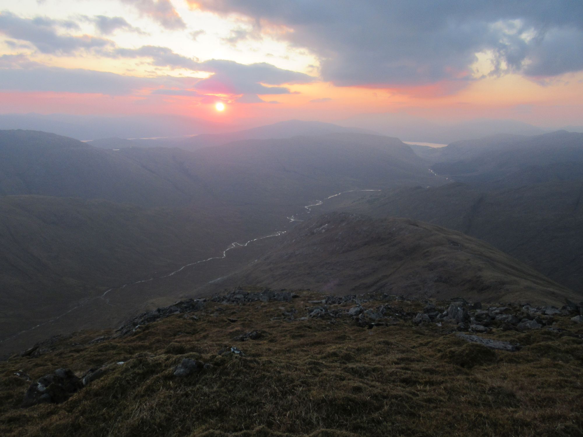
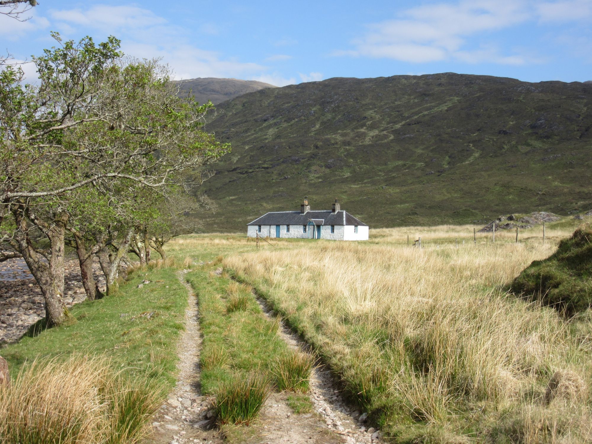
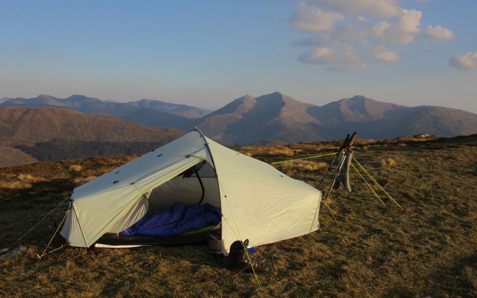
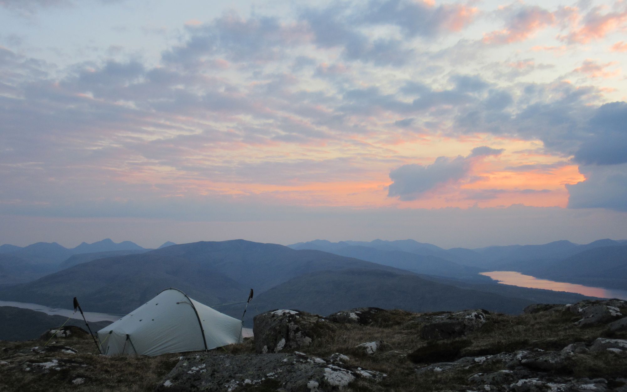
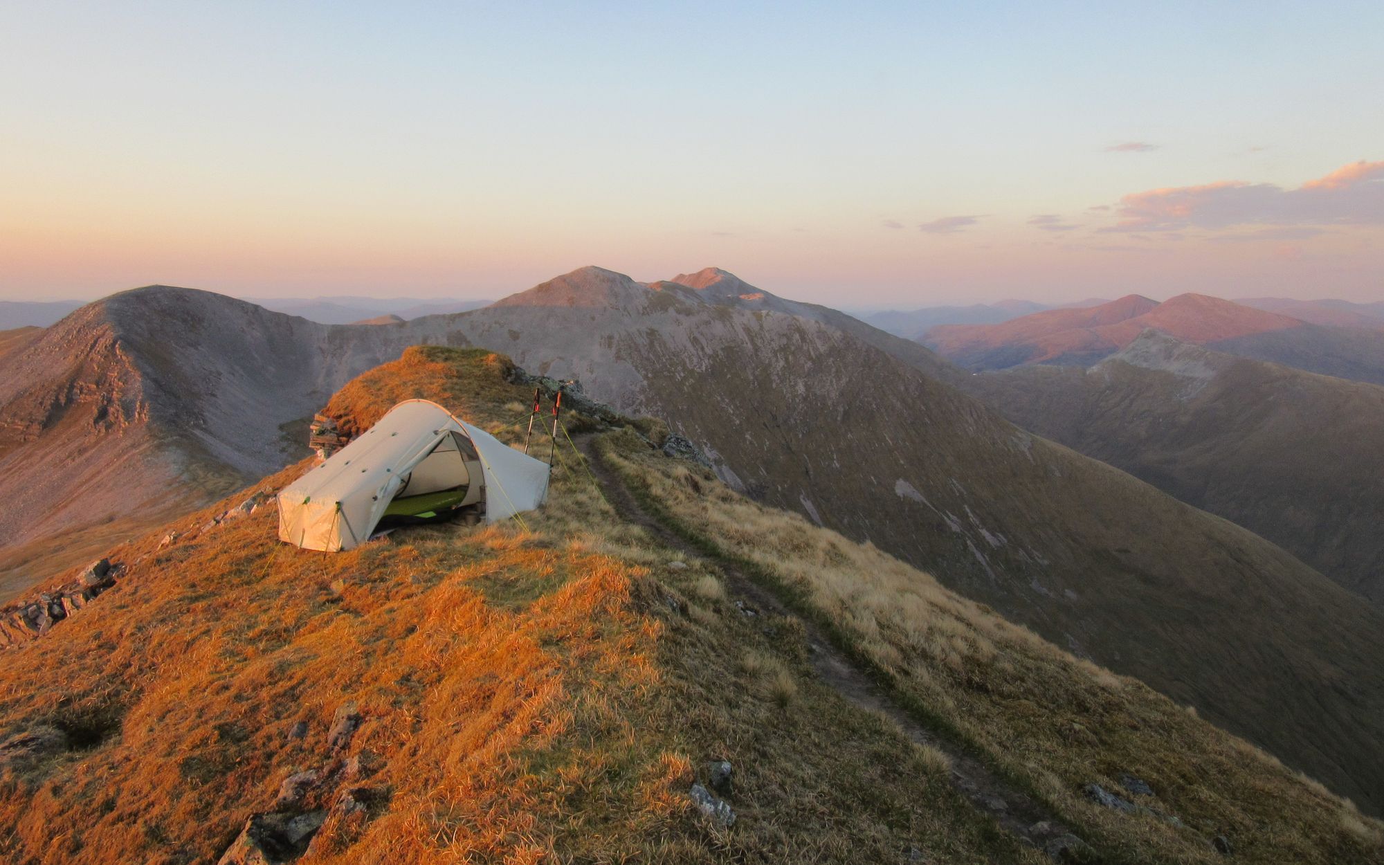
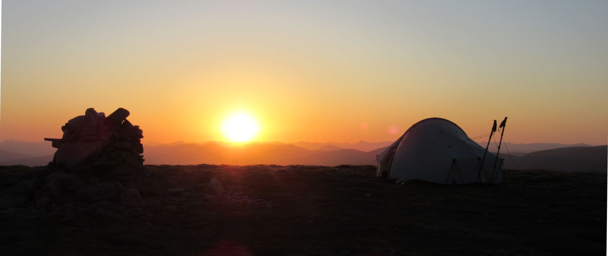
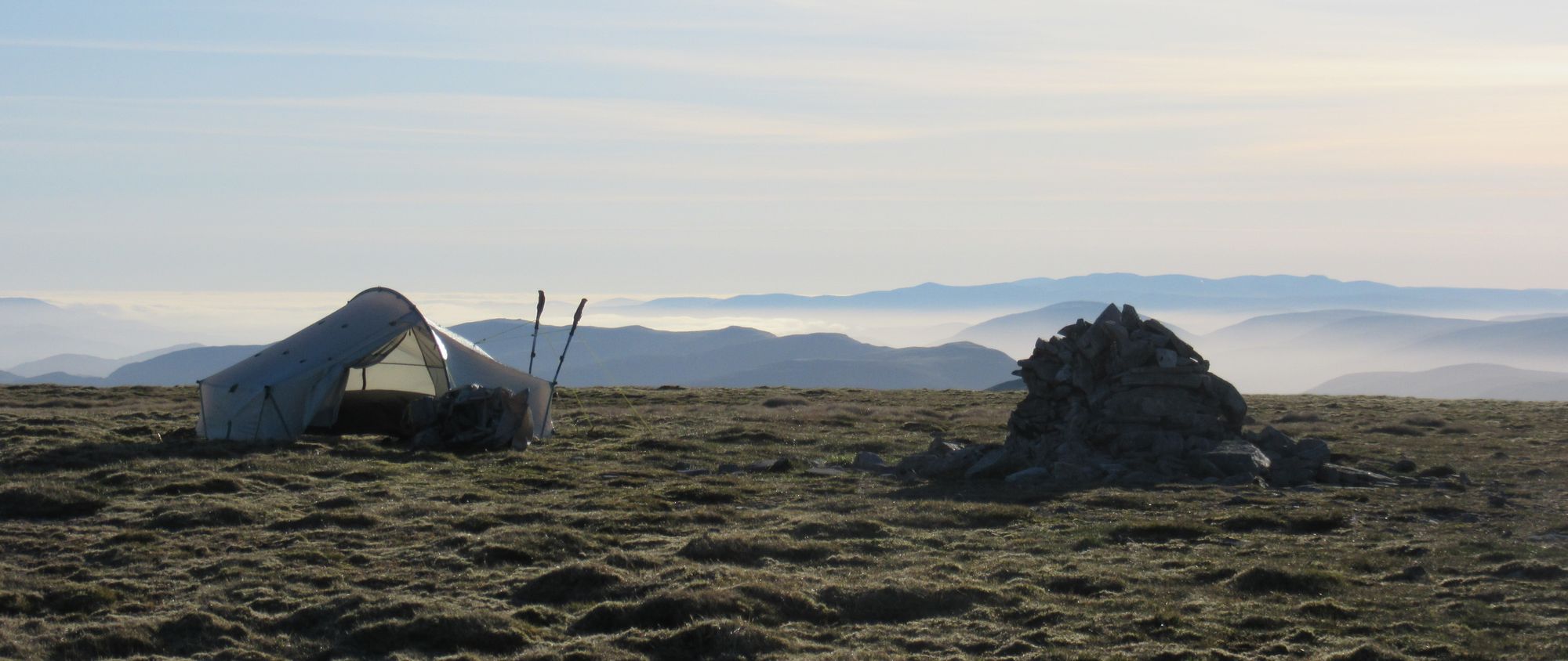
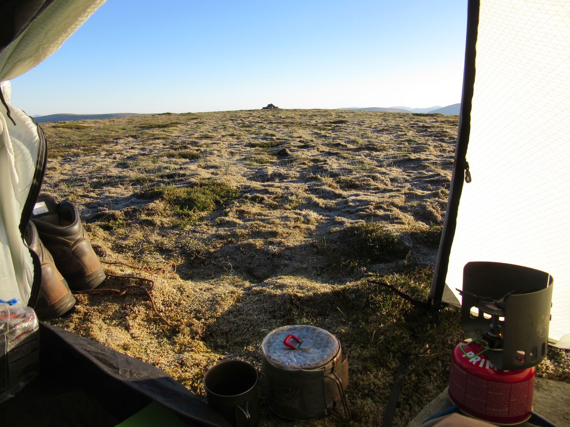
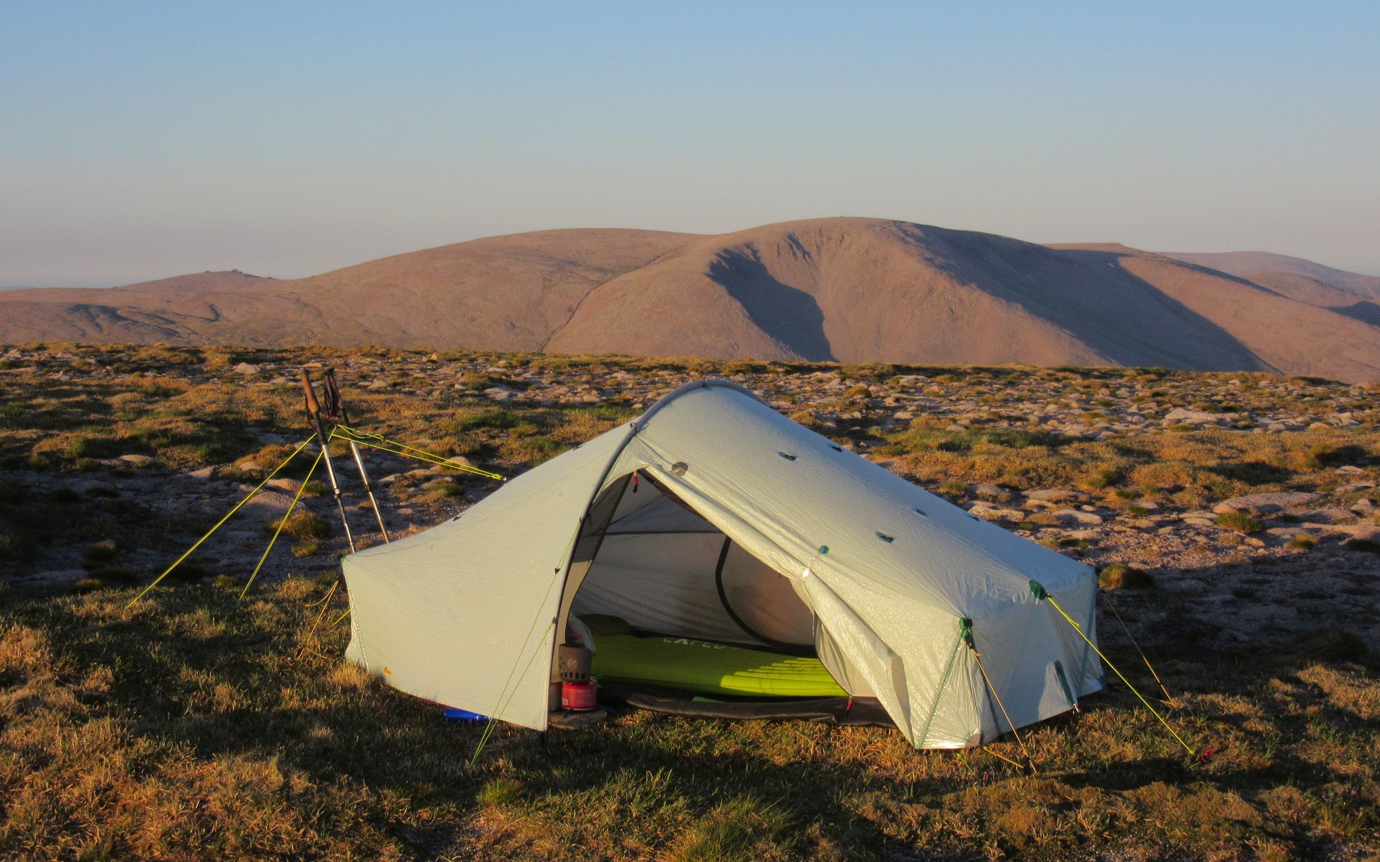
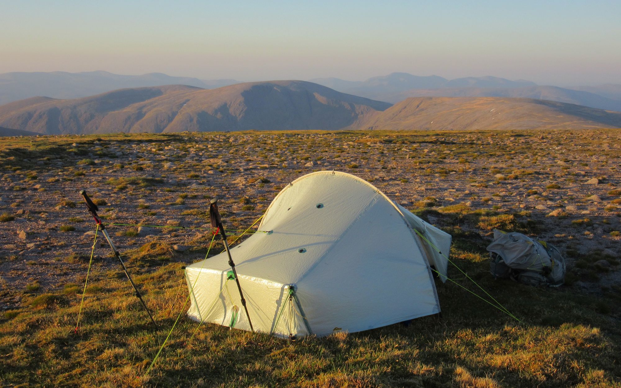
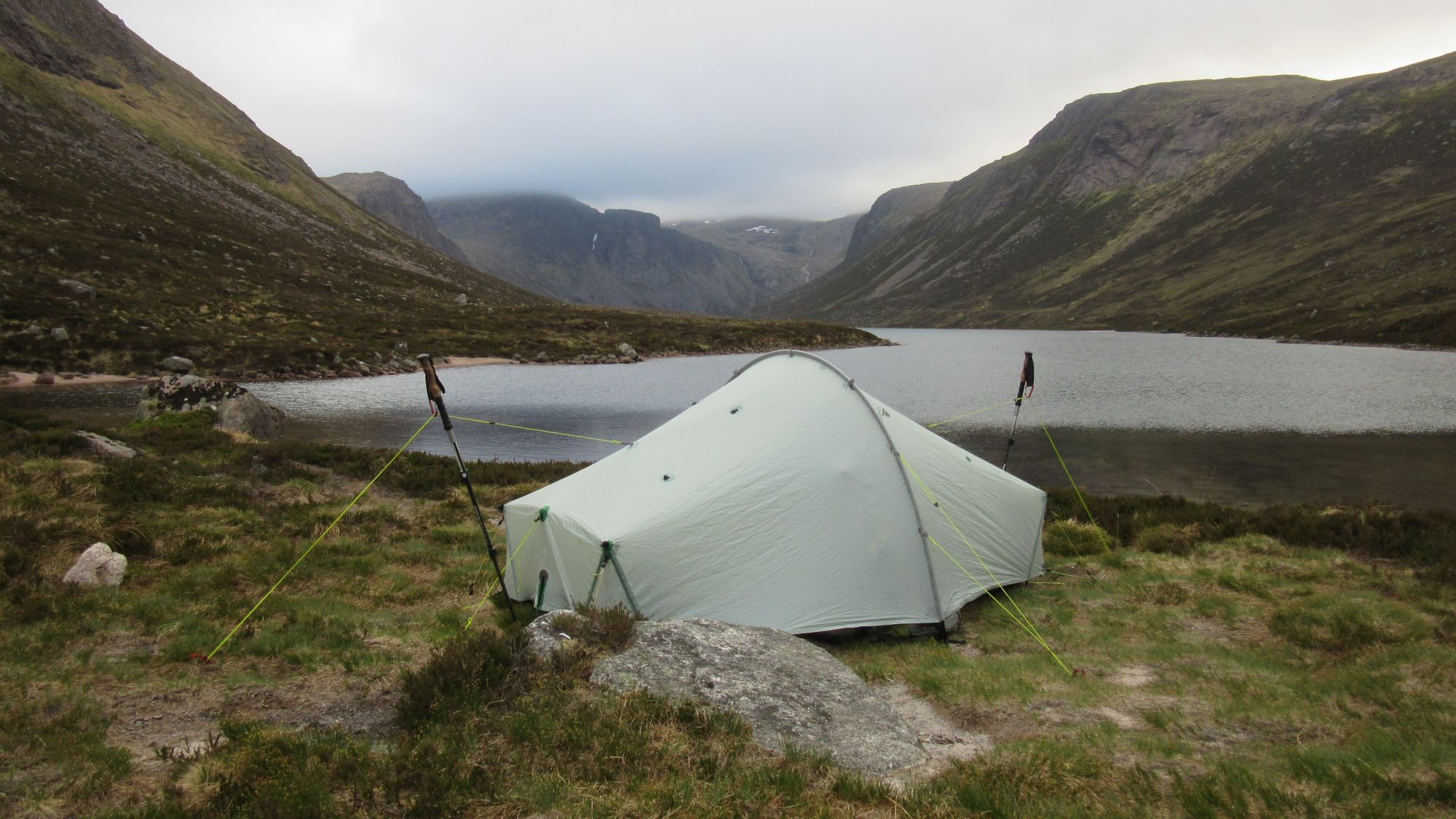
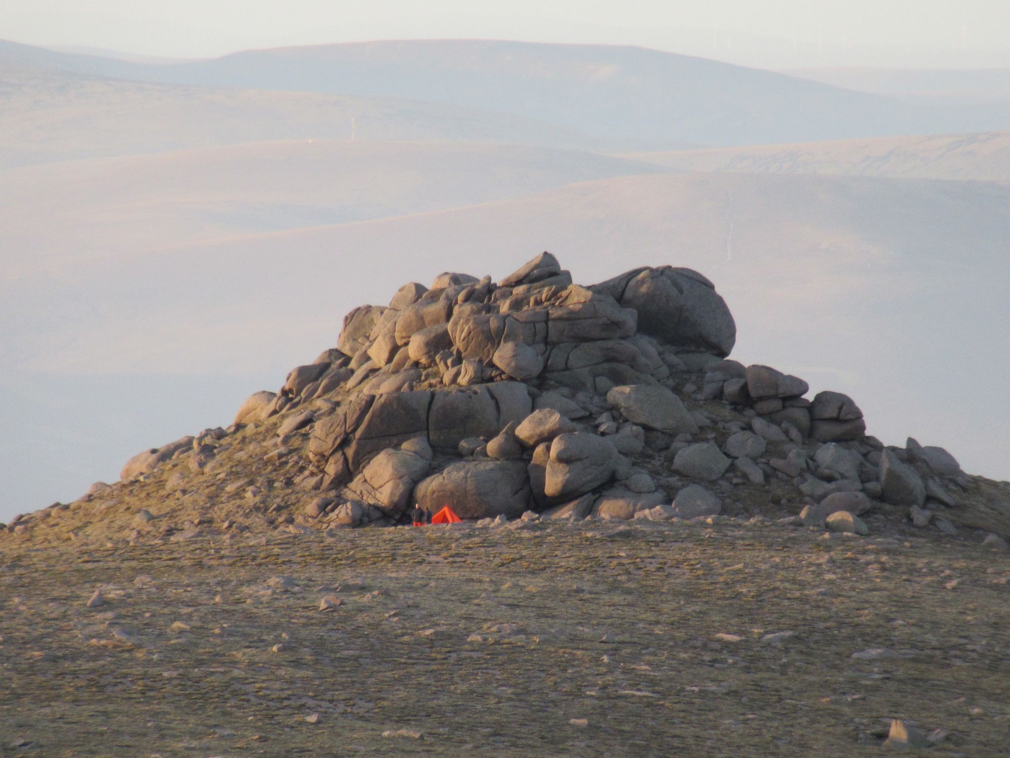
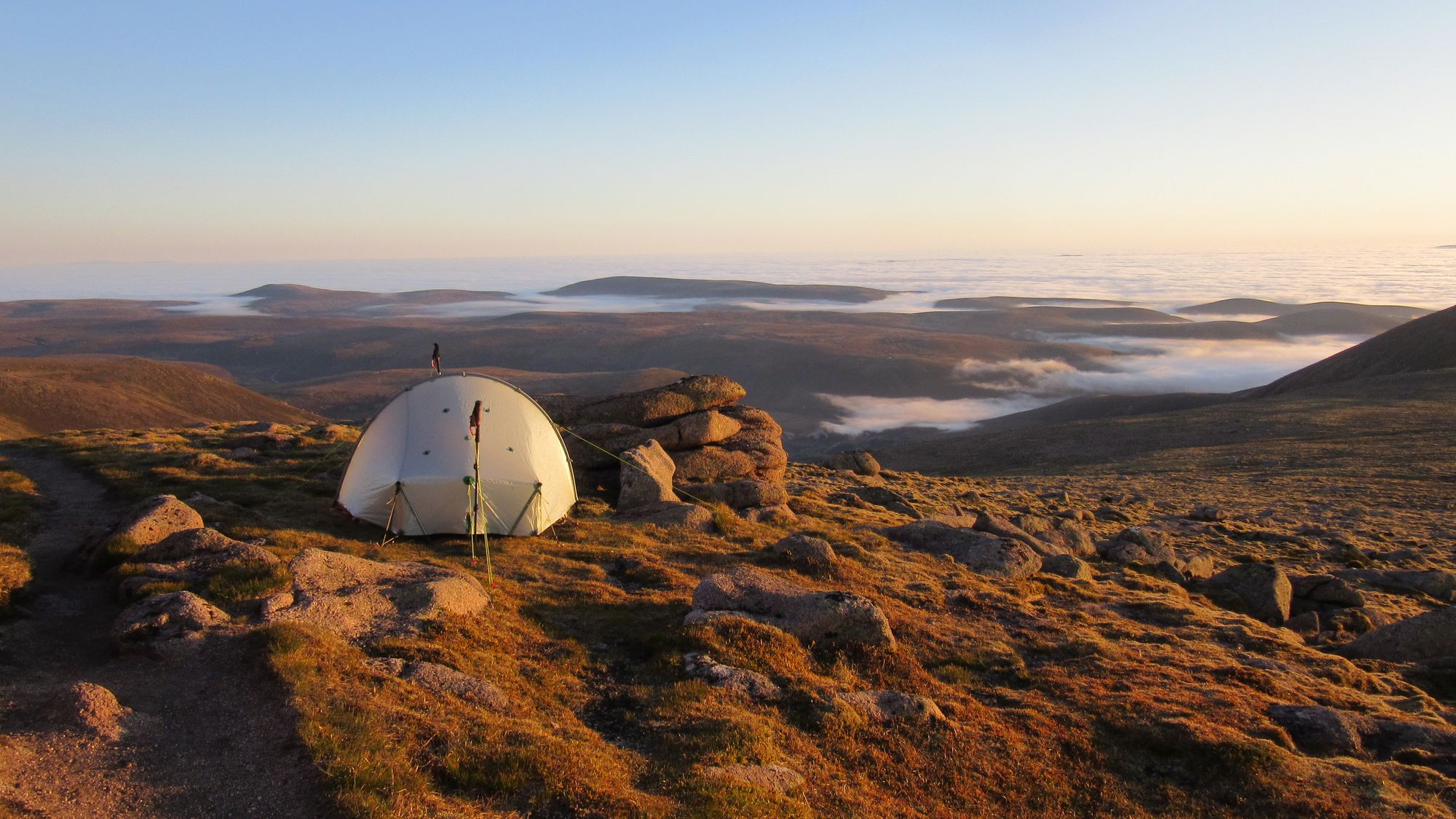
I'd remembered from a previous visit that it had some grassy pitches just to the north of the summit cairn, and the tent was up by 17:30; it's a spectacular spot.
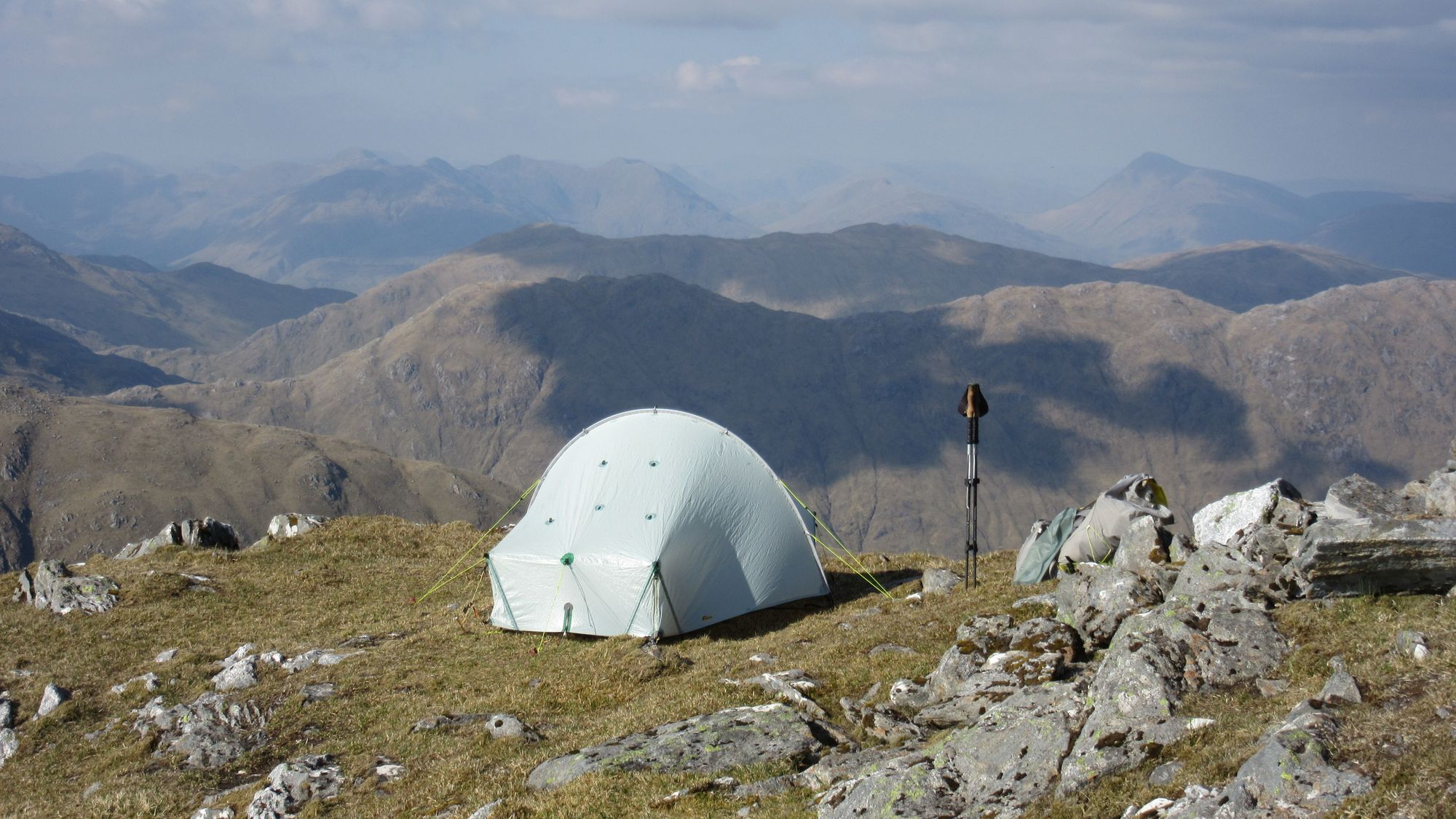
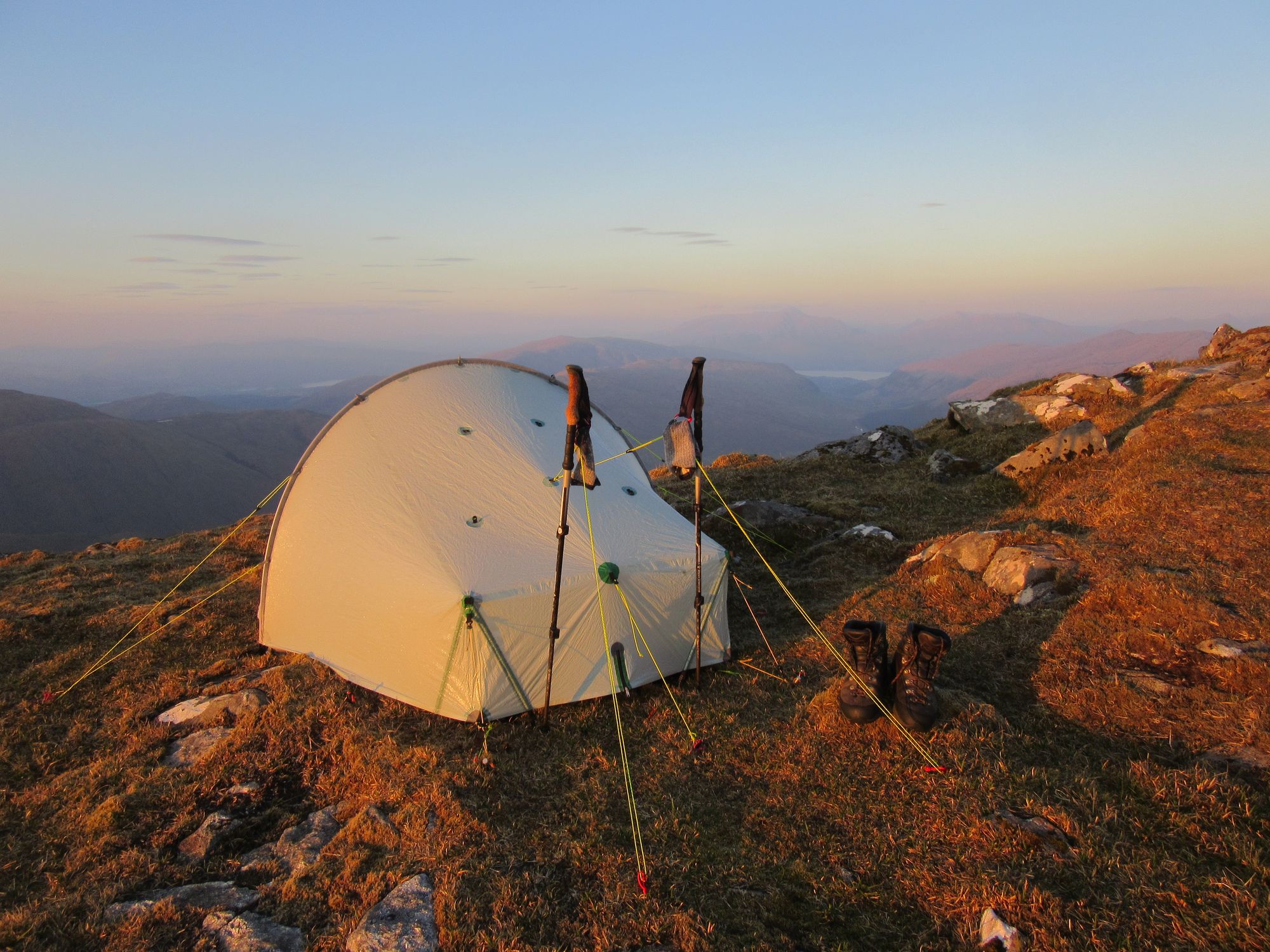
Sgurr Dhomhnuill summit camp views.
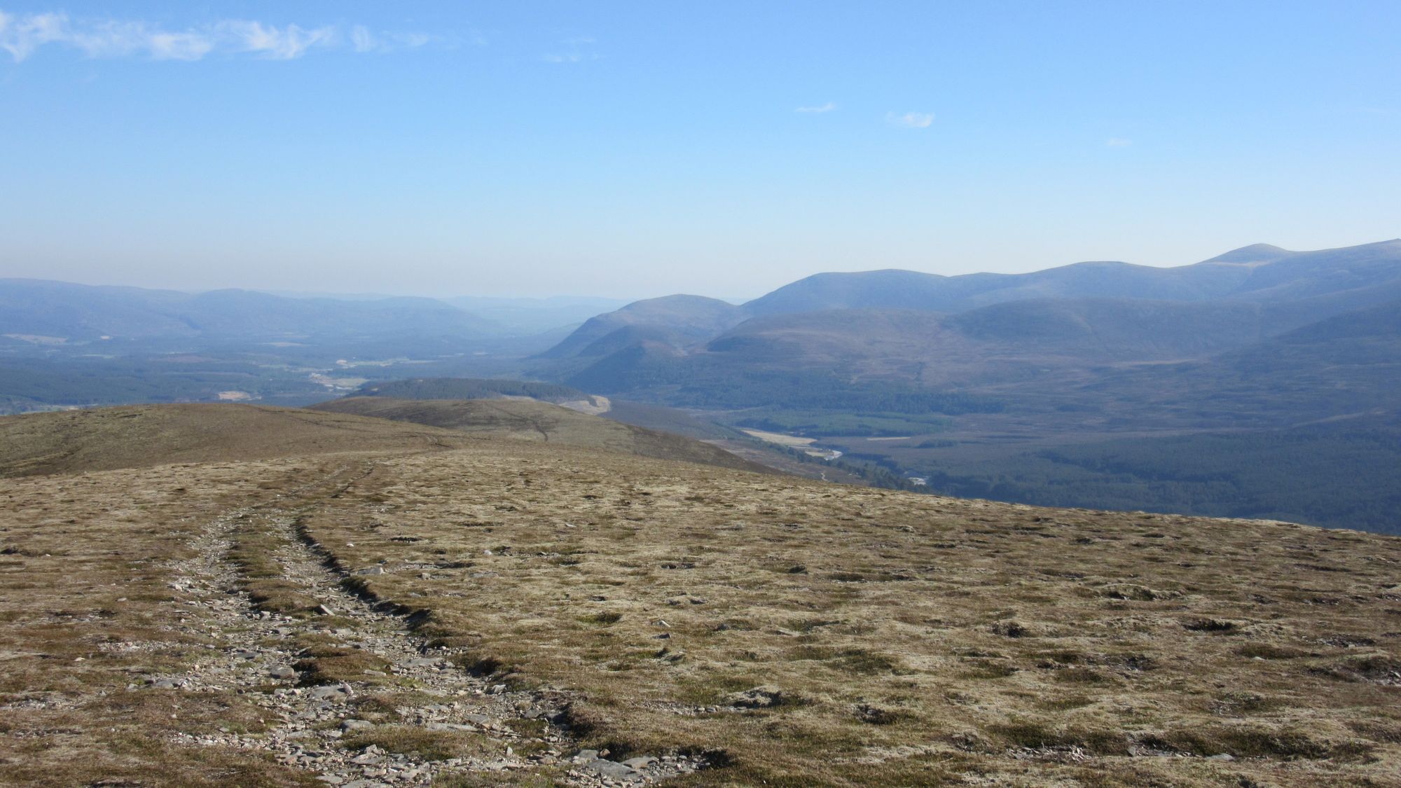
Day 2
Sgurr Dhomhnuill - Sail a'Bhuiridh - tracks to Tighnacomaire - bridge over River Scaddle at NM 945679 - forest track - leave at forest break - SE to Druim na Sgriodain (734m, G) - E to Sgurr na h-Eanchainne (730m) - N to Pt.596 - SE to Cille Mhaodain (burial ground) - S on A861 - Corran - ferry - Inchree - ascend SW ridge of Beinnn na Gucaig (616m, G).
Morning on Sgurr Dhomhnuill
A bit of a murky start to the day. Descending west off Sgurr Dhomhnuill I encountered 3 chaps and a dog in a large tunnel tent, there to do the hill, and later the other Acharacle starter I'd been with on the Dalelia ferry who'd taken a lower level route through the glen.
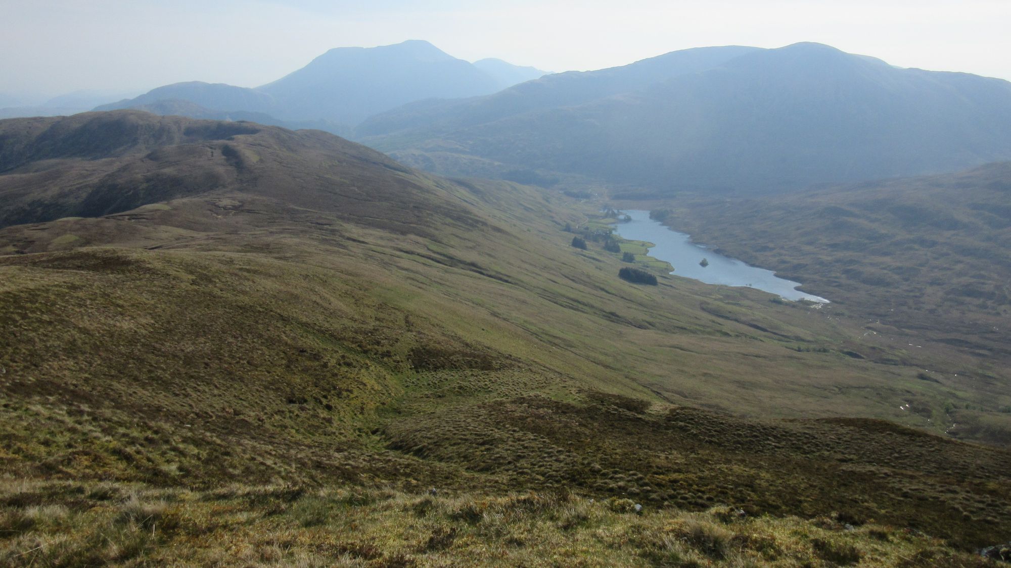
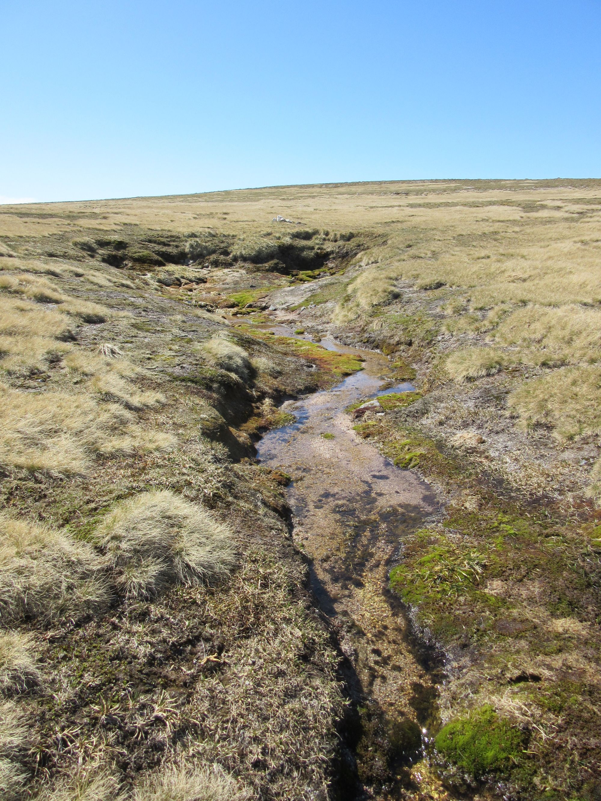
While I'd already done most of the Ardgour Grahams in the process of getting the Corbetts there done, I still needed Druim na Sgriodain so my route took me over that on the way to the coast; it's a huge sprawling mountain and quite a slog, although the loch-strewn area around the summit turns out to be very nice once reached.
Wandering through Ardgour to the summit of Druim na Sgriodain.
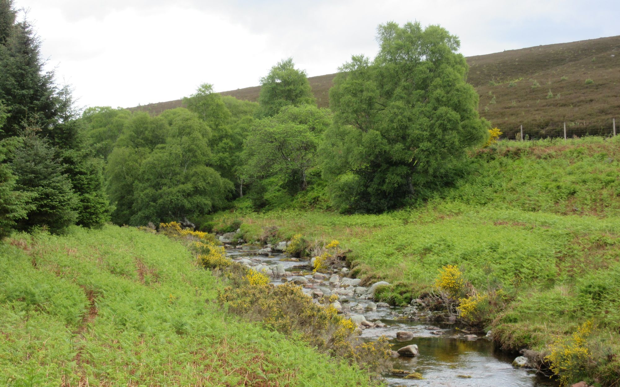
Descending, I was surprised to meet another Graham bagger; that's a pretty rare occurrence compared with the frequency with which you encounter folks on Munros! Finding my way down off the hill, I drifted too far south and found myself blocked by crags, but contouring north for a while soon revealed a way down to the burial ground and the coast road. It was very tempting to stop at the Ardgour Ales brewery as I passed by, but I needed to press on.
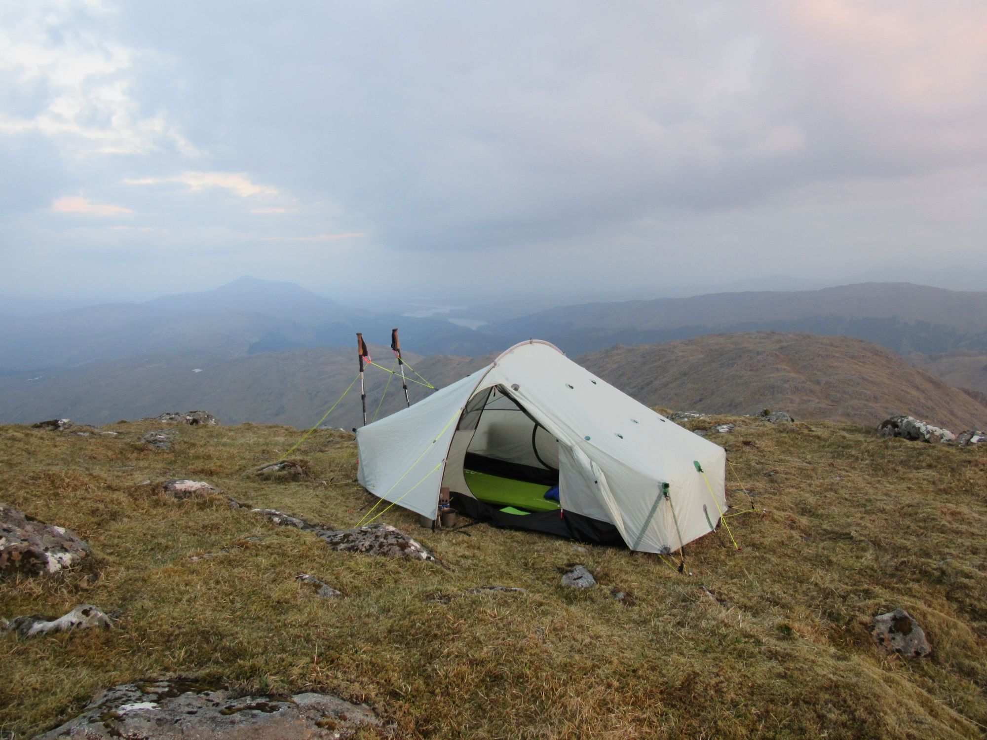
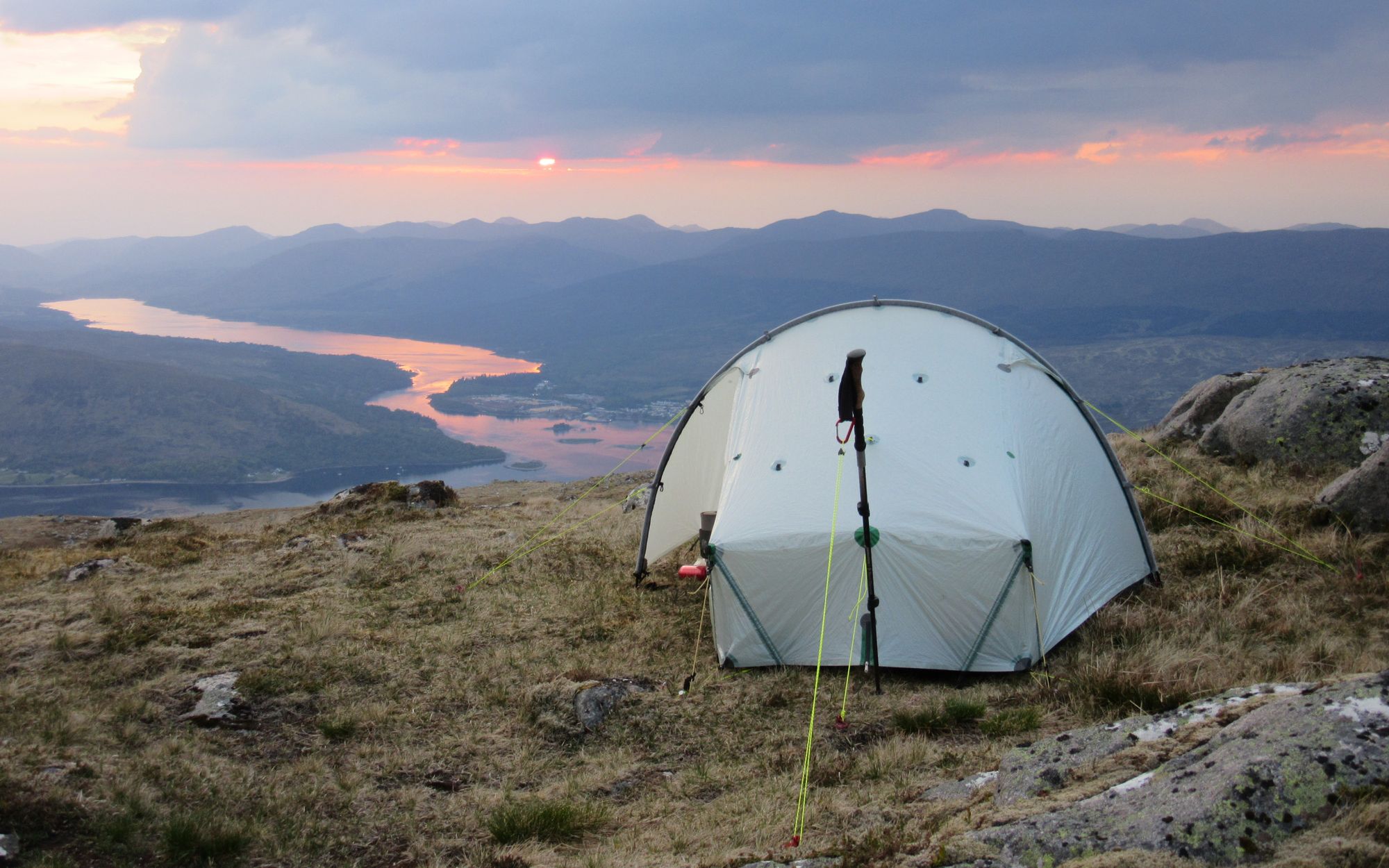
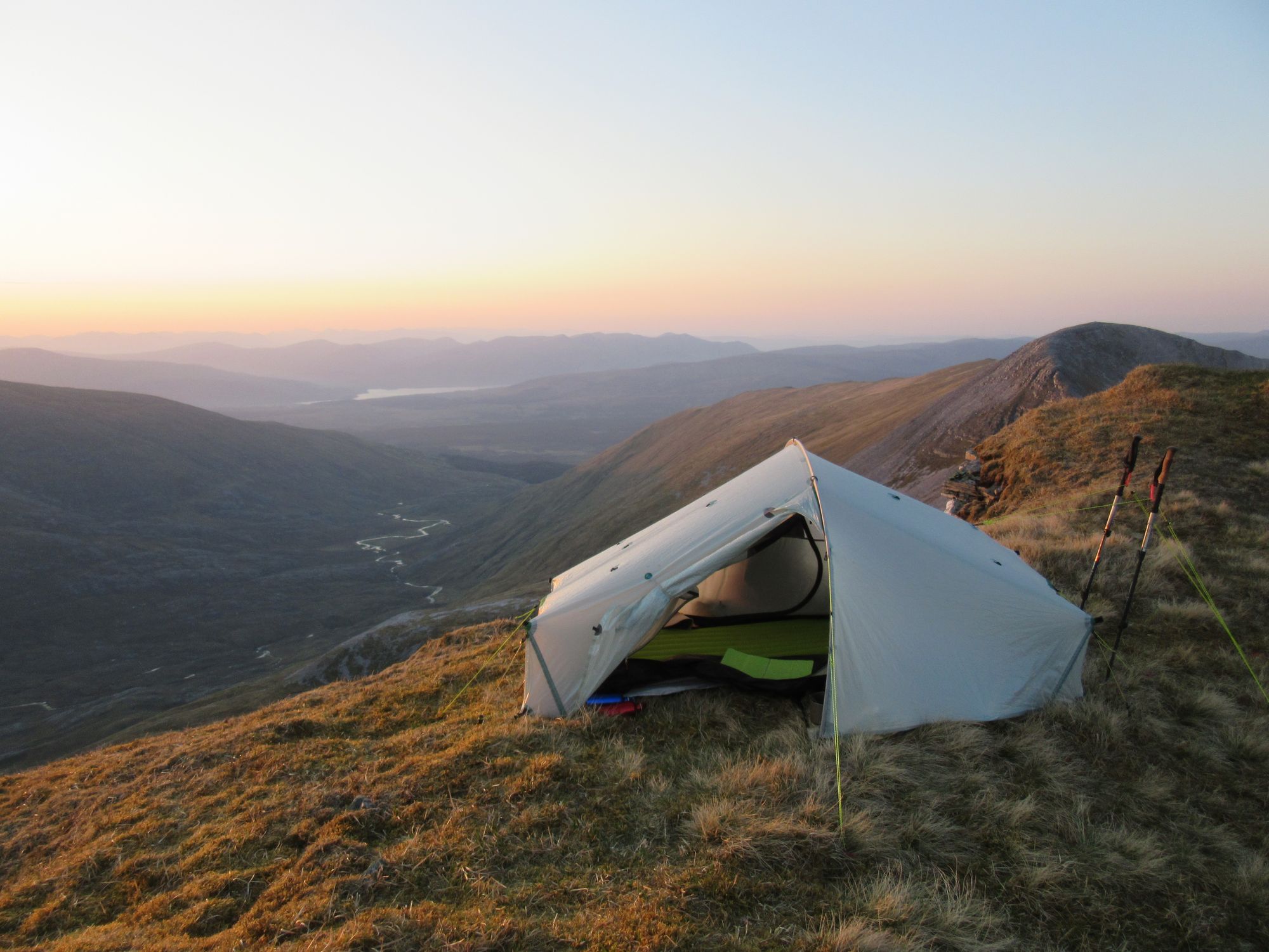
The Corran Ferry was taken (still free to foot-passengers then) and I climbed first on marked trails in the woods above Inchree and then out onto open moor where a faint path led me to the summit of Beinnn na Gucaig, another Graham I'd wanted to bag on this trip. It was windy but a summit camp was still feasible; the tent was up around 17:30 again and fine evening views of Ben Nevis, the Mamores and Loch Linnhe were to be had.
Camped on Beinnn na Gucaig.
Day 3
Beinnn na Gucaig - NE to Sron Gharbh - SE to Lochan Lunn Da Bhra outflow - road N to Blarmachfoldach - track junction NN096704 - NNE to Cow Hill - descend W to Fort William - Nevis Bridge - N side of River Nevis - Achintee House - path to Lochan Meall an t-Suidhe - Meall an t-Suidhe summit.
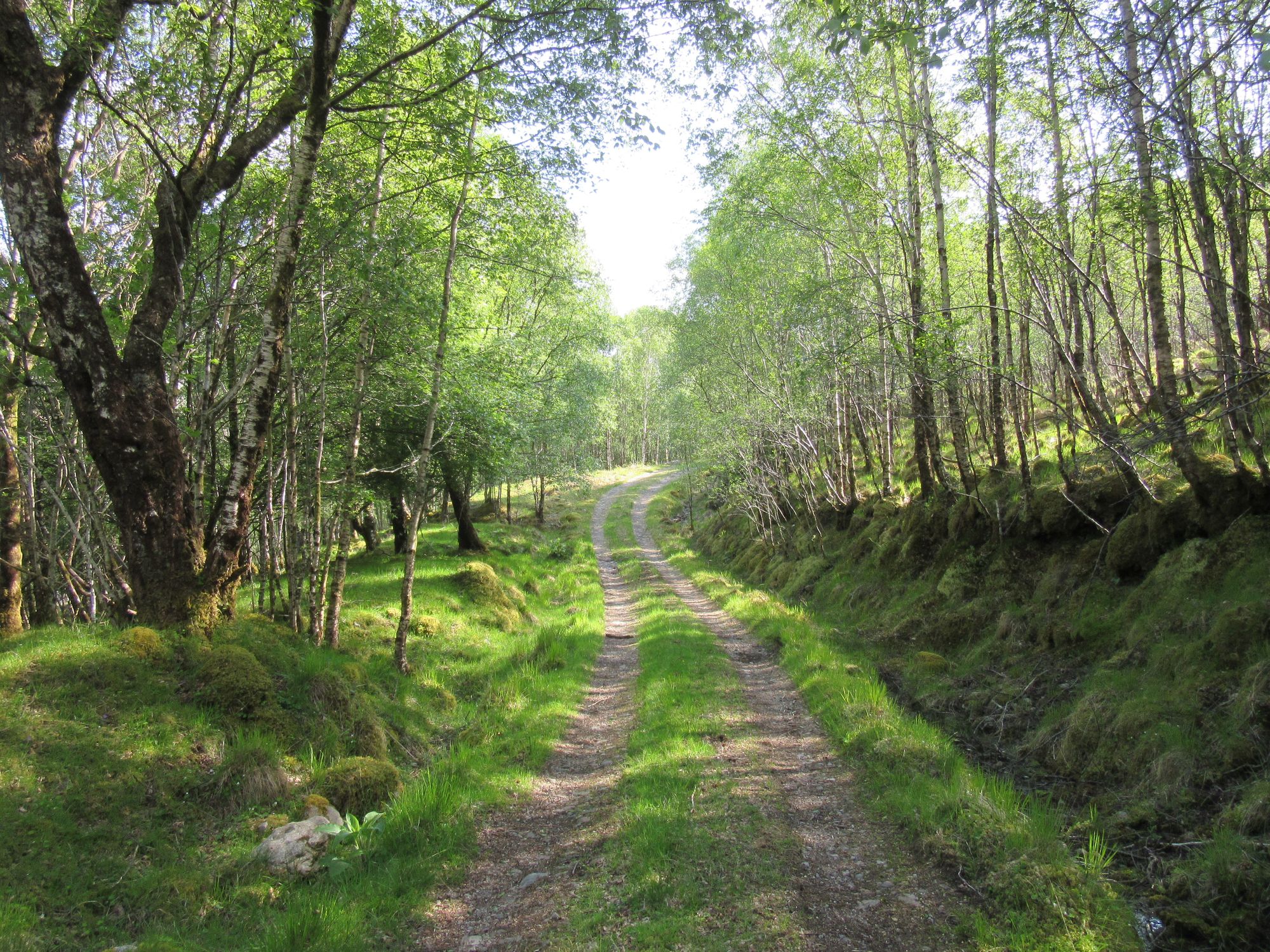
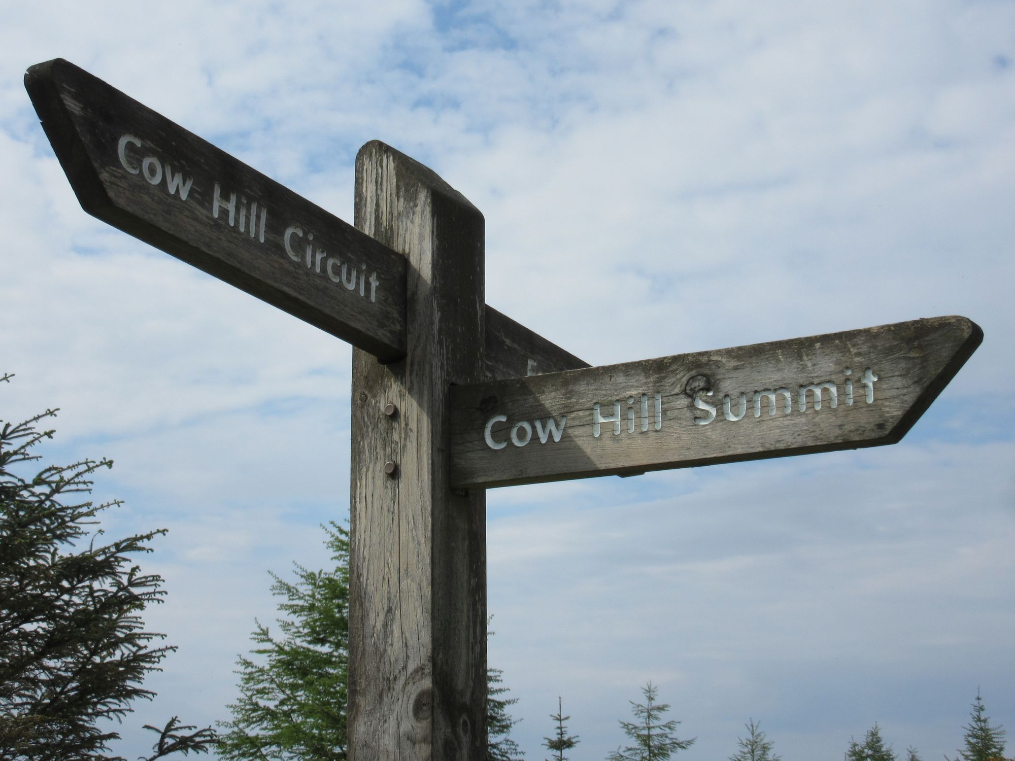
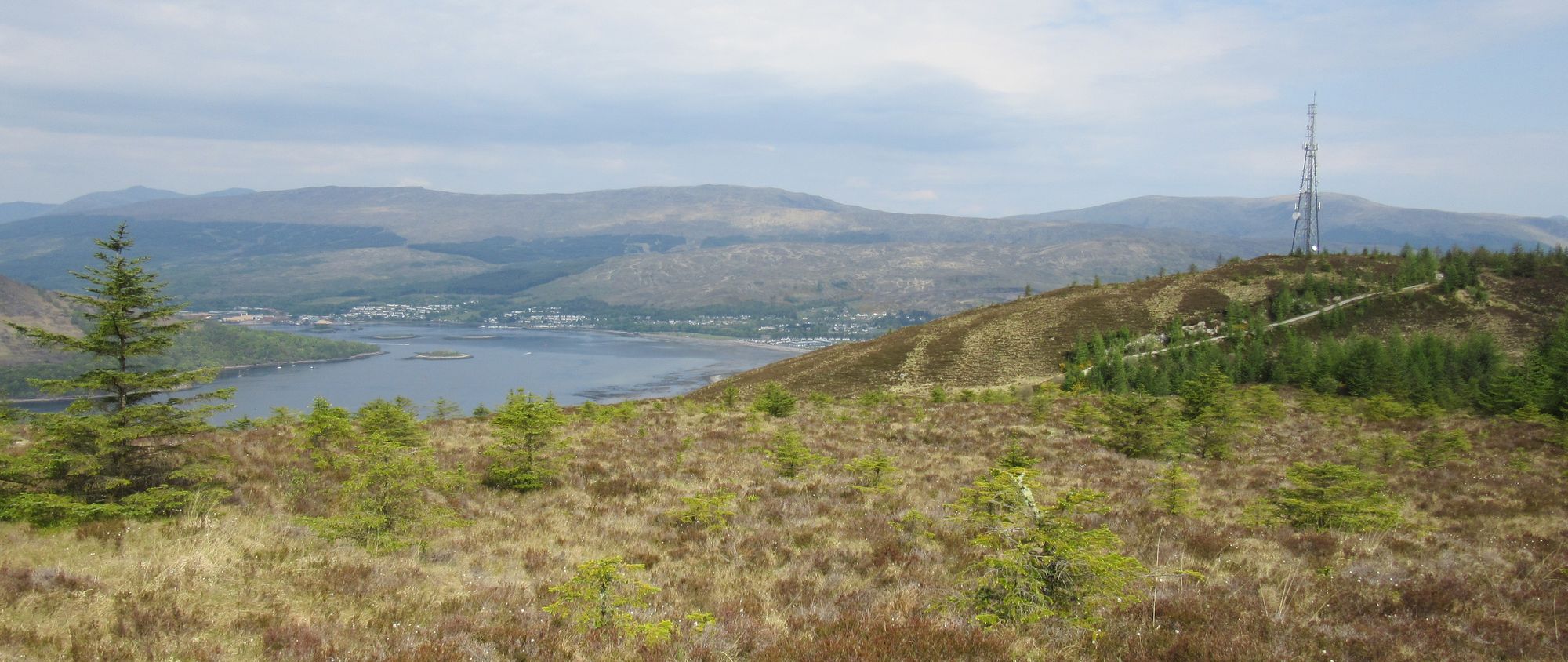
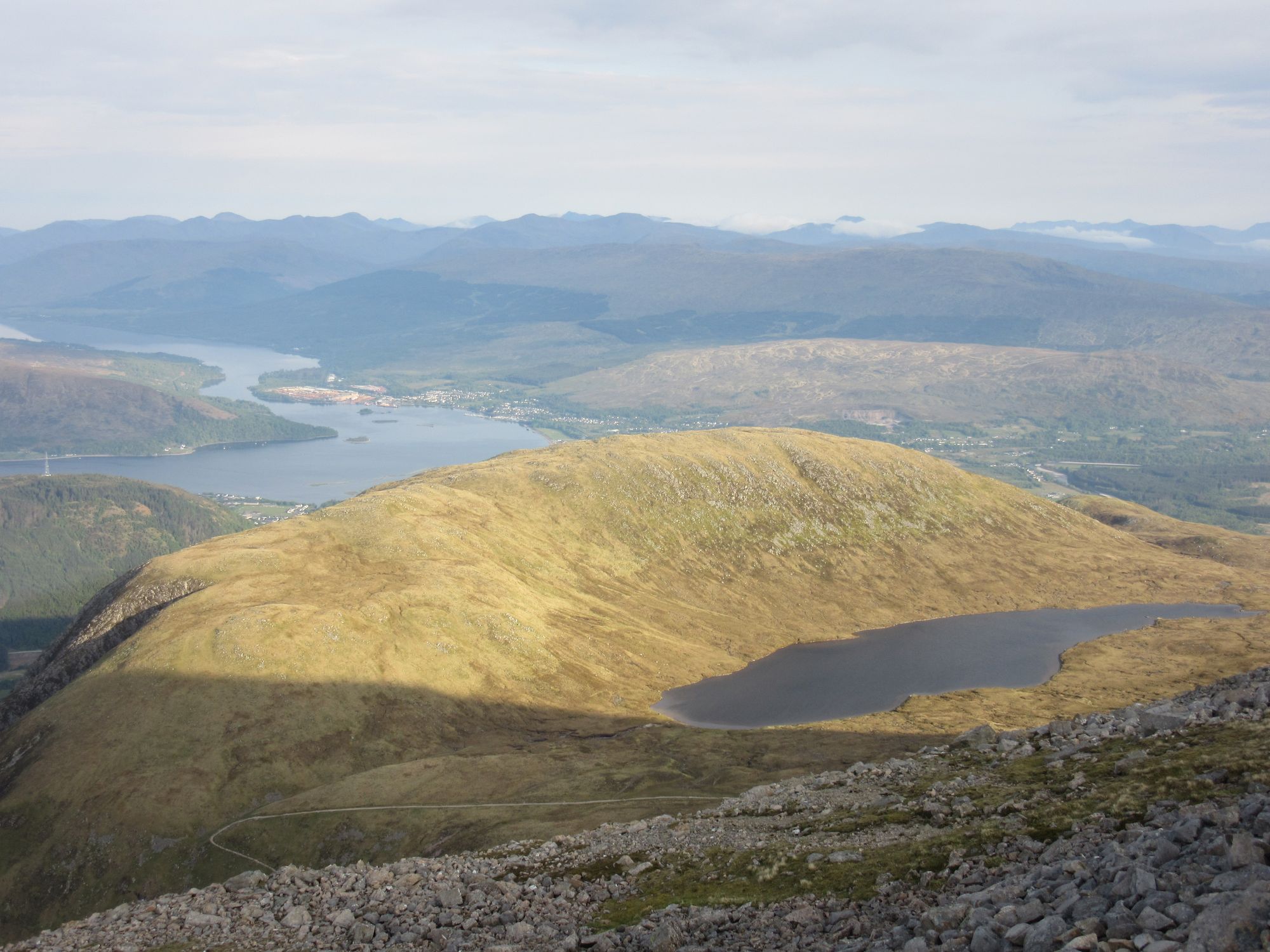
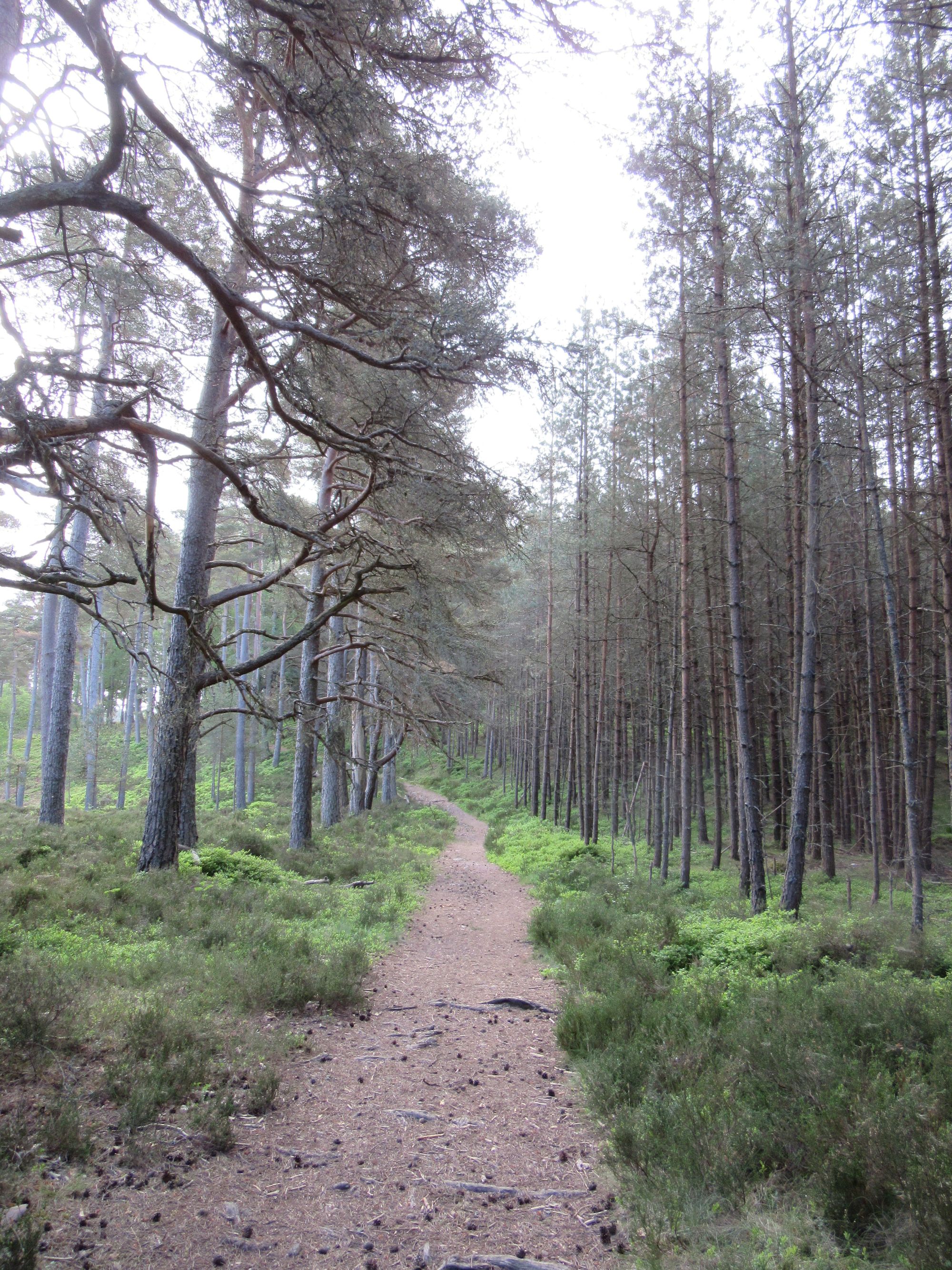
After a rough pathless descent off Beinnn na Gucaig to the farms by the loch, there was some more road walking until a little north of Blarmachfoldach where I turned off onto increasingly faint tracks and then paths to reach Fort William via Cow Hill (which I had never been up before).
Along the way to Fort William.
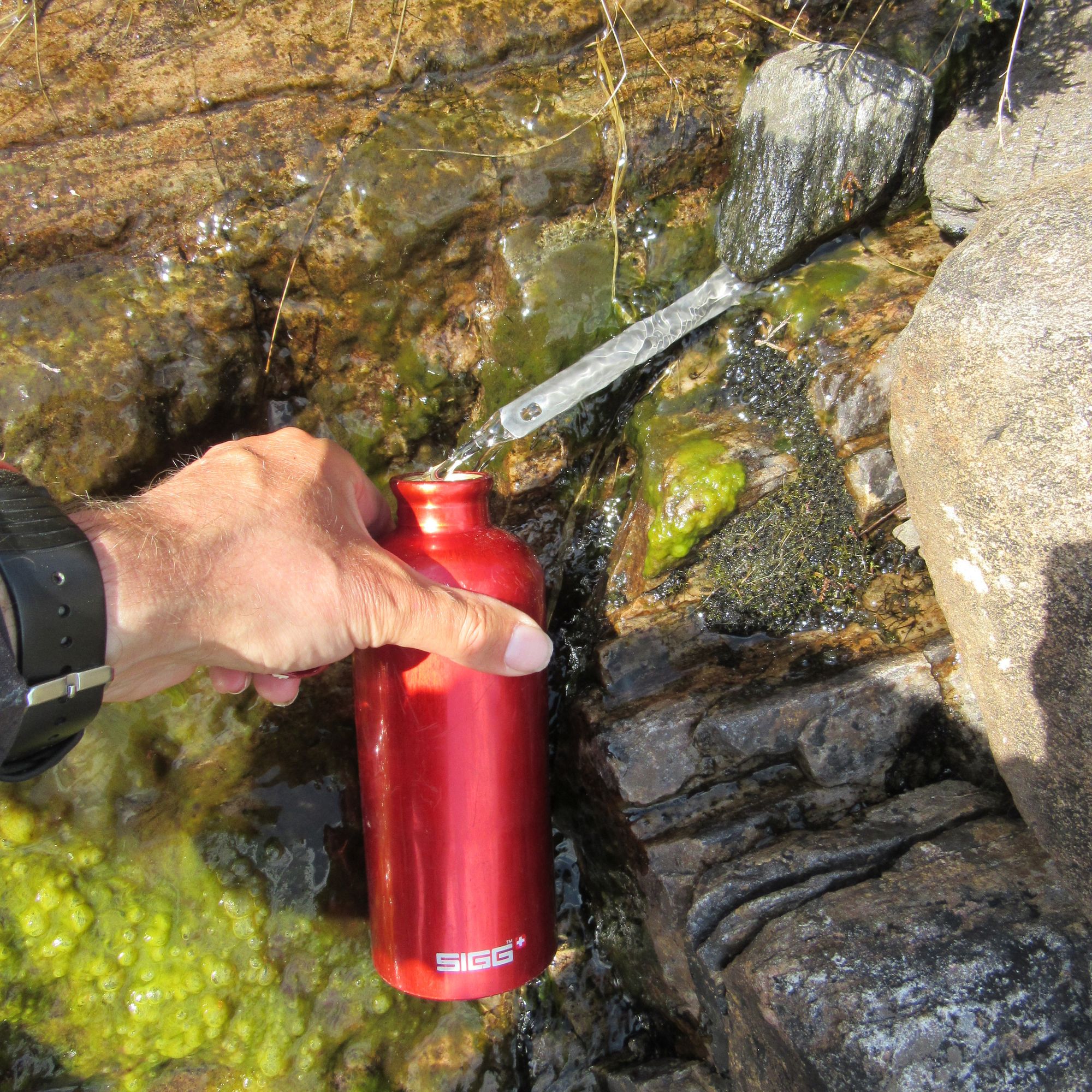
I spent some time refuelling (and recharging electronics) in the Black Isle Brewery and then hit the Morrisons for a resupply to last me until Dalwhinnie before heading out of town for a late start on the ascent of The Ben (resisting the distracting temptations of the Ben Nevis Inn at Achintee). Much as I'd like to summit-camp Ben Nevis, it's so rocky I suspect the most practical time to camp it is early enough in the year that it's still snow covered so I stuck to my plan of heading for the top of Meall an t-Suidhe, the lump next to the "halfway lochan". Water was drawn from a thin trickle flowing off the hillside (and filtered); I was relieved not to have to take it from the loch directly or anywhere more exposed to the crowds on The Ben.
Camped on Meall an t-Suidhe.
With a lot of cloud about the sunset was nothing special, and the wind dropped enough to permit a few early midges to make their presence known.
Day 4
Meall an t-Suidhe - pass N of Lochan Meall an t-Suidhe - S then E on zigzags - Ben Nevis (1344m, M) - Carn Mor Dearg (1220m, M) - bealach at NN186721 - W then N to Aonach Mor (1221m, M) - S to Aonach Beag (1234m, M) - Stob Coire Bhealaich (MT) - Sgurr Choinnich Beag - optional: out-and-back to Sgurr a'Bhuic (MT) - Sgurr Choinnich Beag (MT) - Sgurr Choinnich Mor (1094m, M).
I knew this was going to be a Big Day, and my body clock obliged by waking me up at 04:30 for an early start.
Dawn on Meall an t-Suidhe.
I headed down from Meall an t-Suidhe and around the west end of the lochan. Some sights beside the path on the zig-zag climb reinforced my suspicions of the likely water quality in the area!
Looking back down to Meall an t-Suidhe and Loch Linnhe as height is gained on Ben Nevis.
At the summit there were a few bleary-eyed folks who'd been in the shelter the night before (one party having lugged a tent up but then found it impossible to pitch it anywhere!) and some three-peaks challengers around.
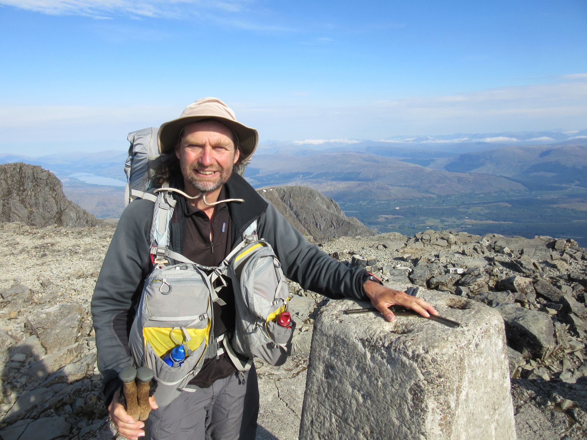
The traverse to Carn Mor Dearg via the CMD arete went well (the first time I have done it with a big backpacking pack) despite being quite breezy.
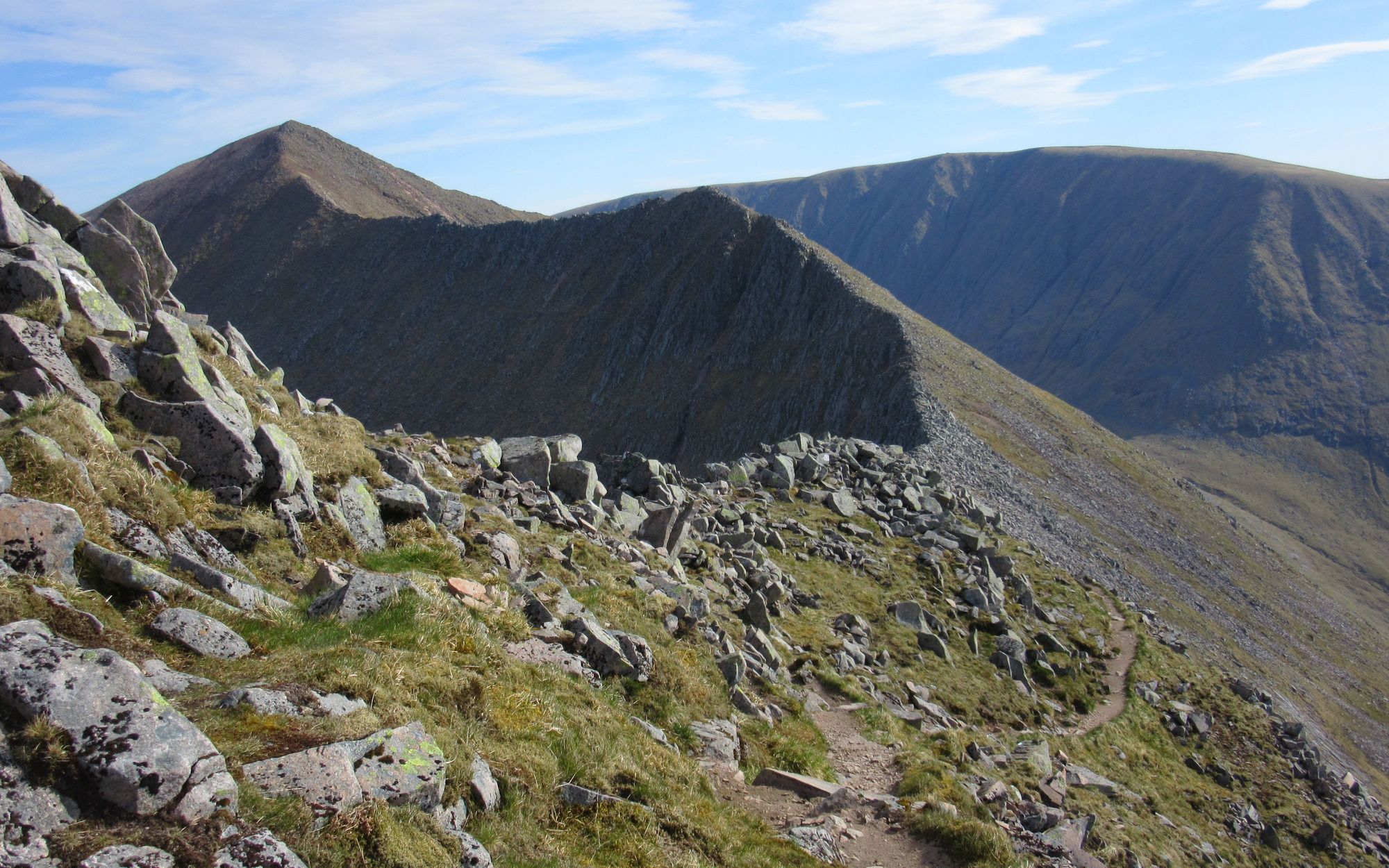
Approaching the CMD arete.
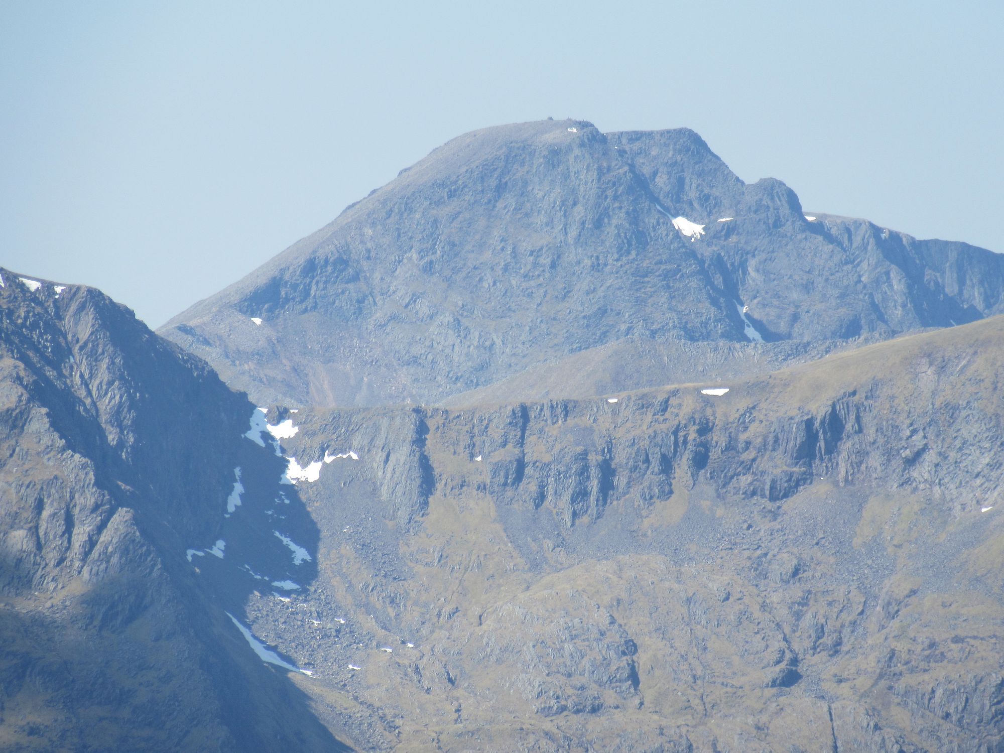
Looking back along the CMD arete to Ben Nevis summit.
Ben Nevis North Face.
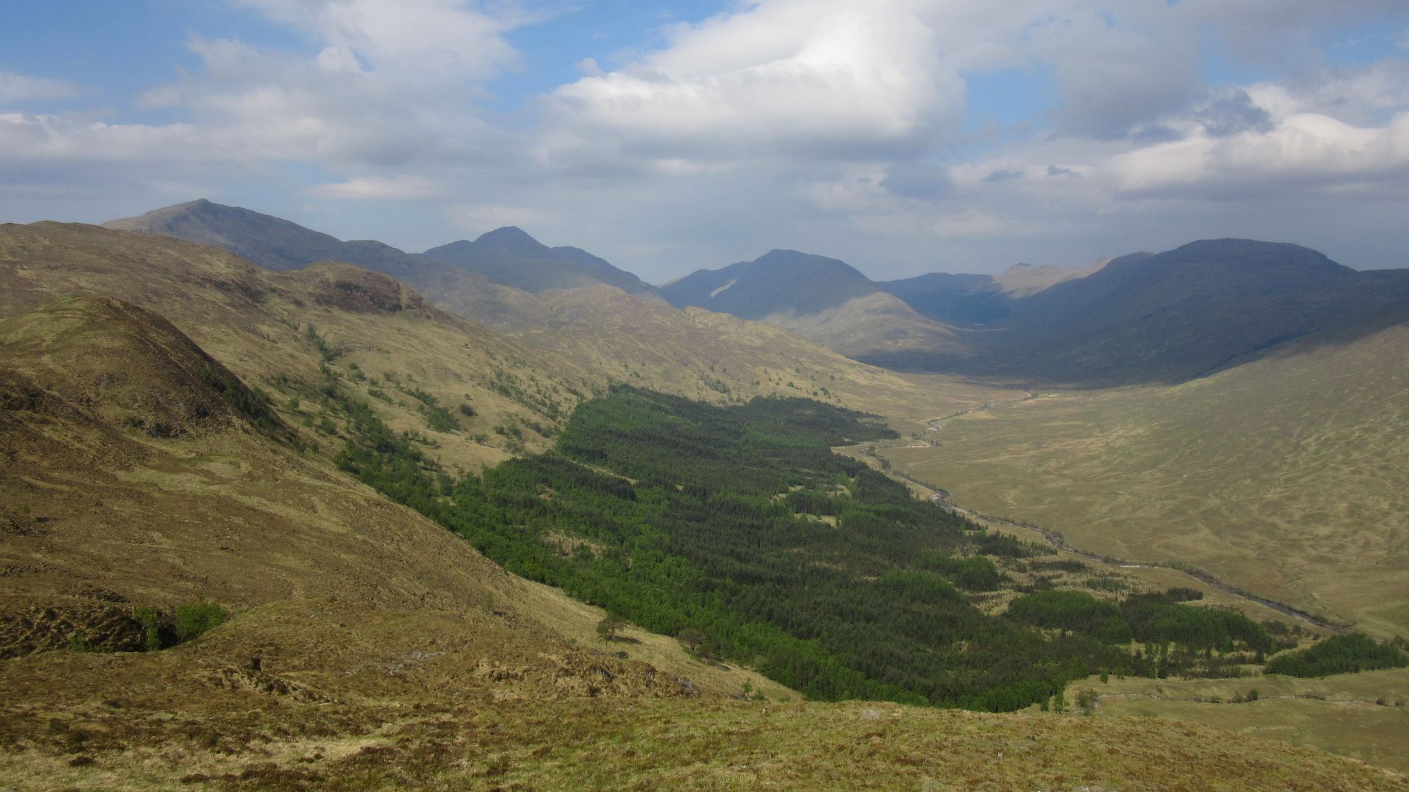
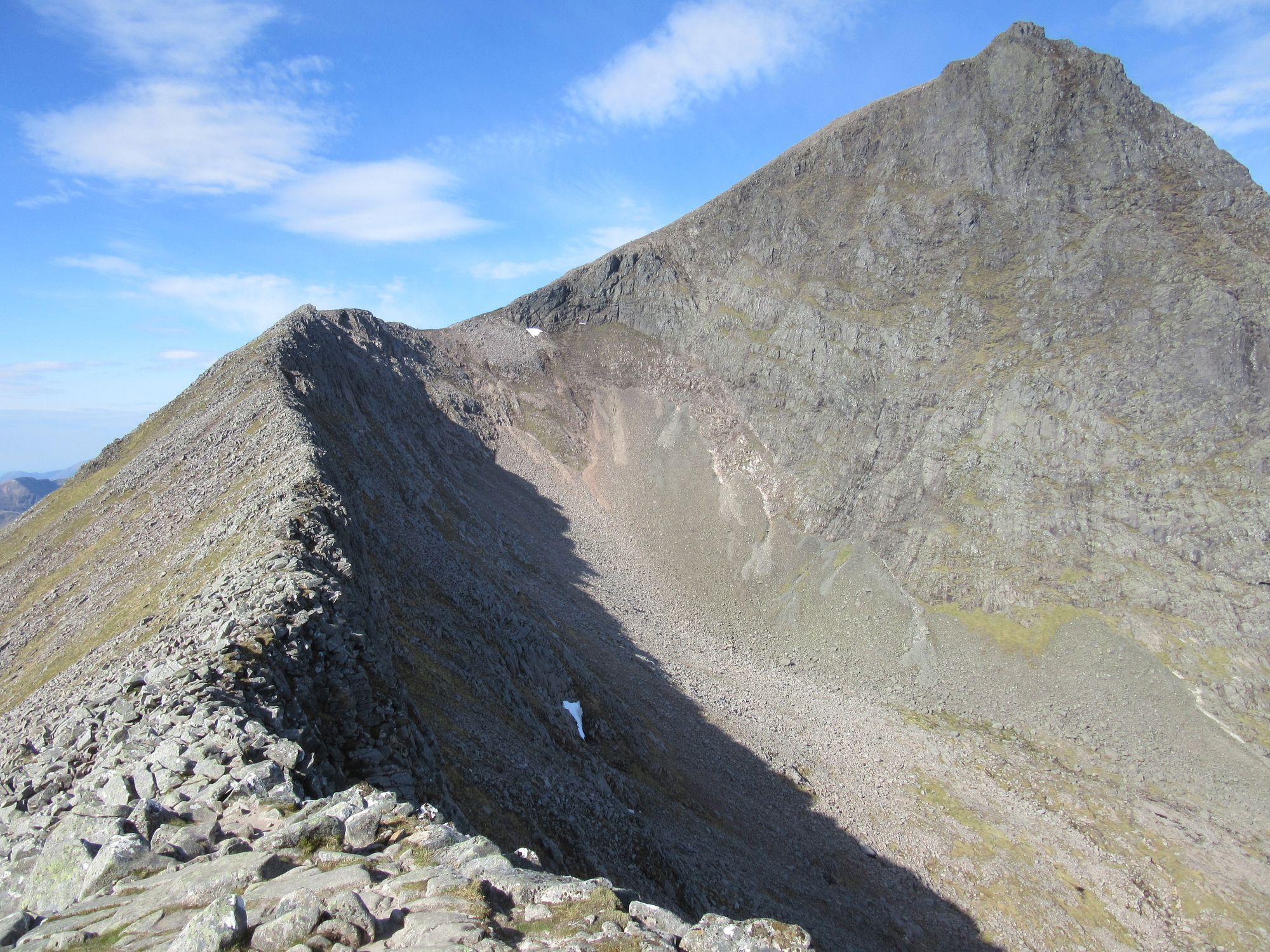
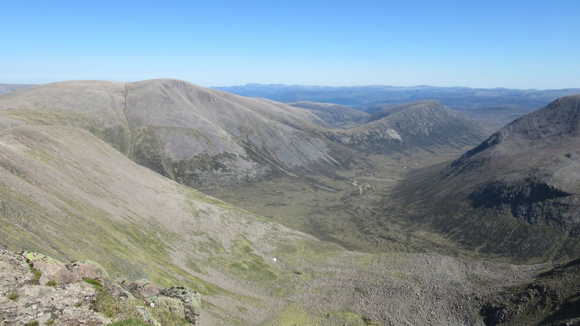
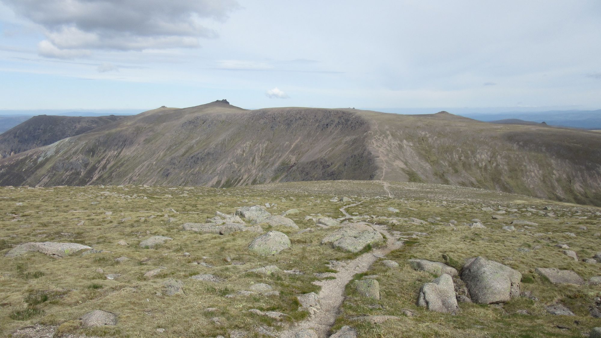
The descent from CMD to the bealach before the Aonachs was straightforward. I was expecting the route up from there to be more obvious (indeed I am sure I have done it once before years ago; I remember it being horribly eroded!), but I couldn't see anything like a path or an obvious natural line so I just slogged up the steep grass avoiding the craggy bits and it seemed to go well enough.
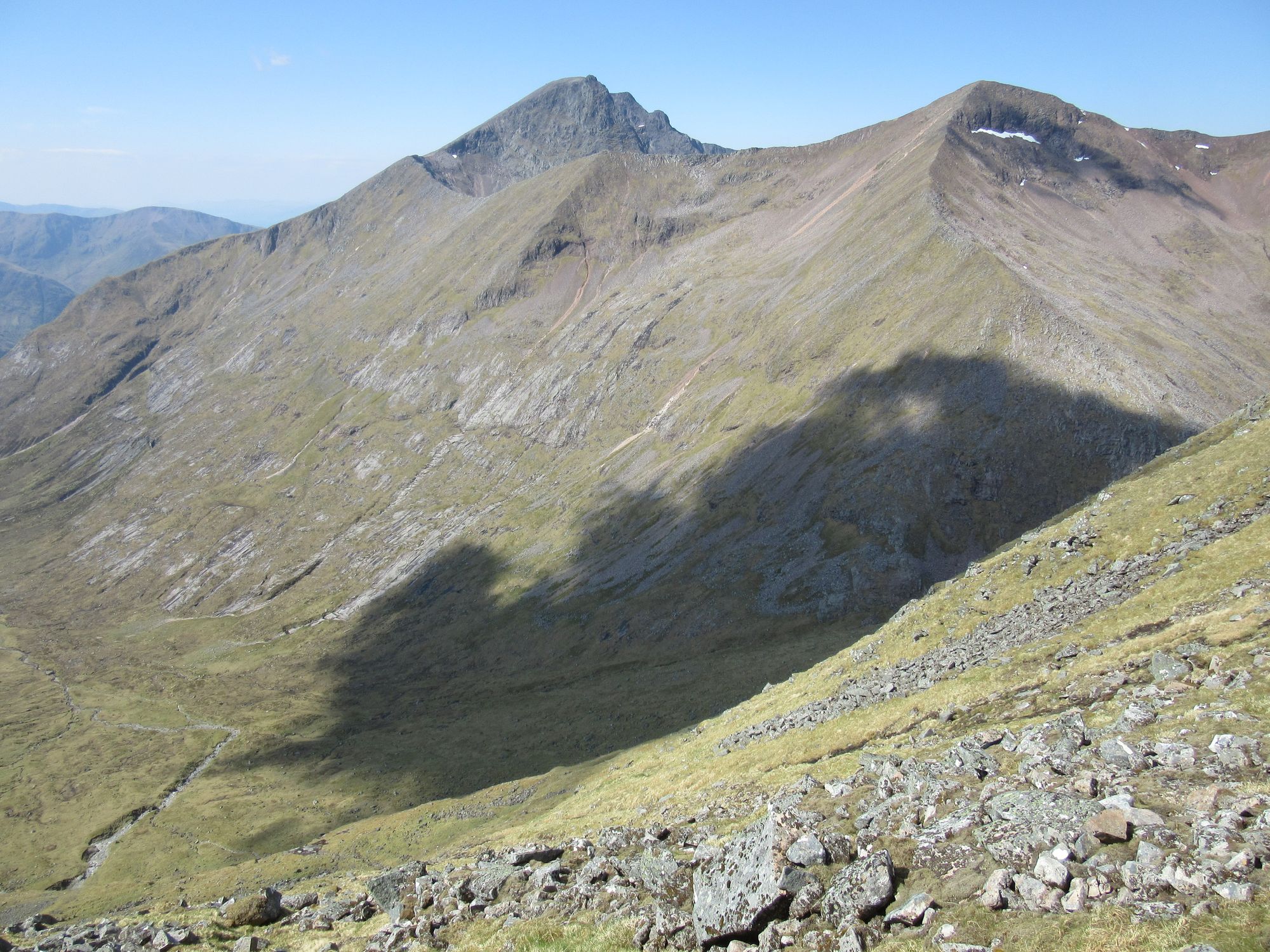
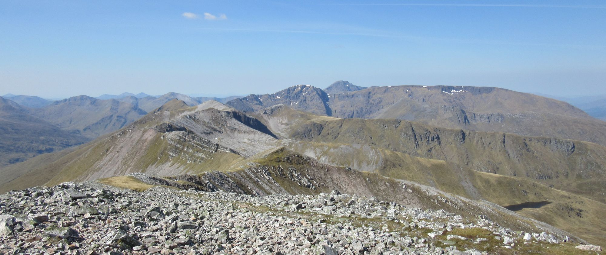
Views approaching and climbing away from the bealach between CMD and the Aonachs.
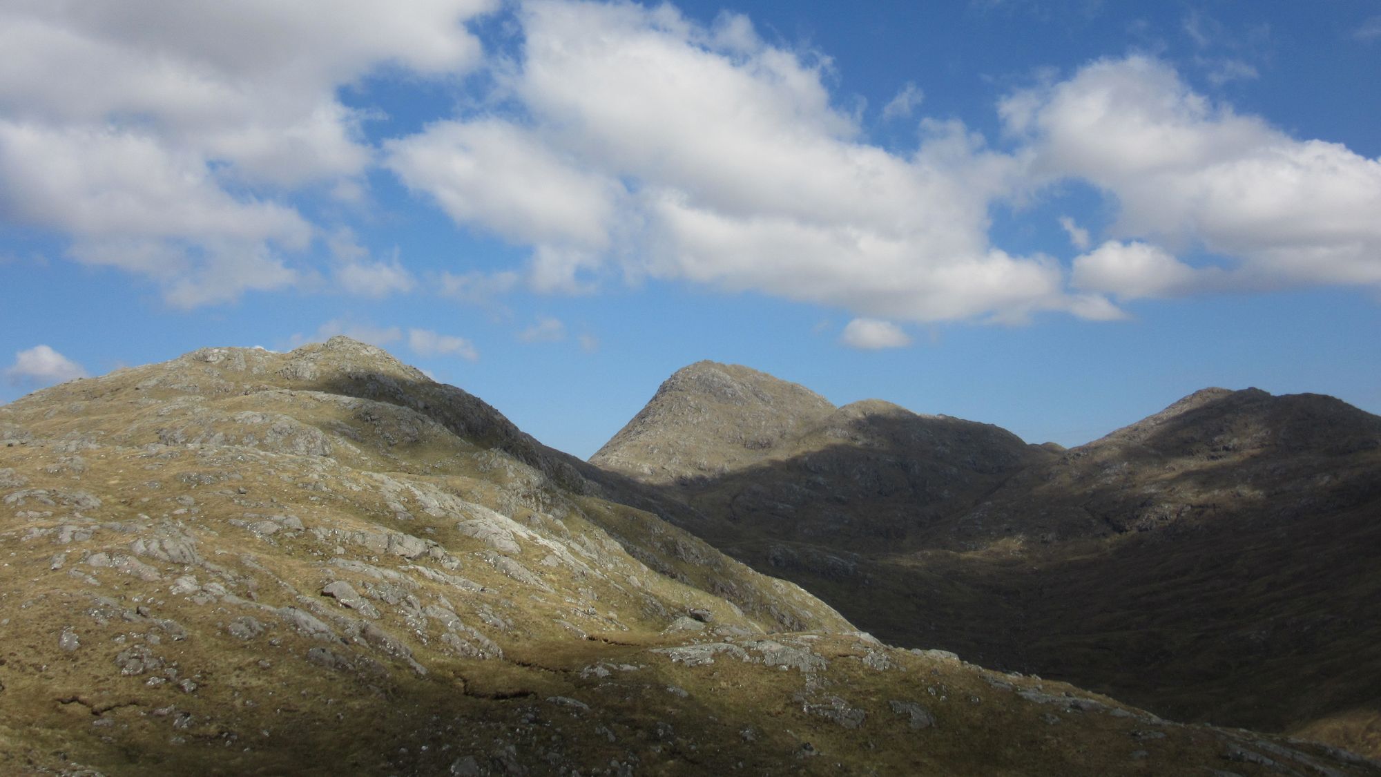
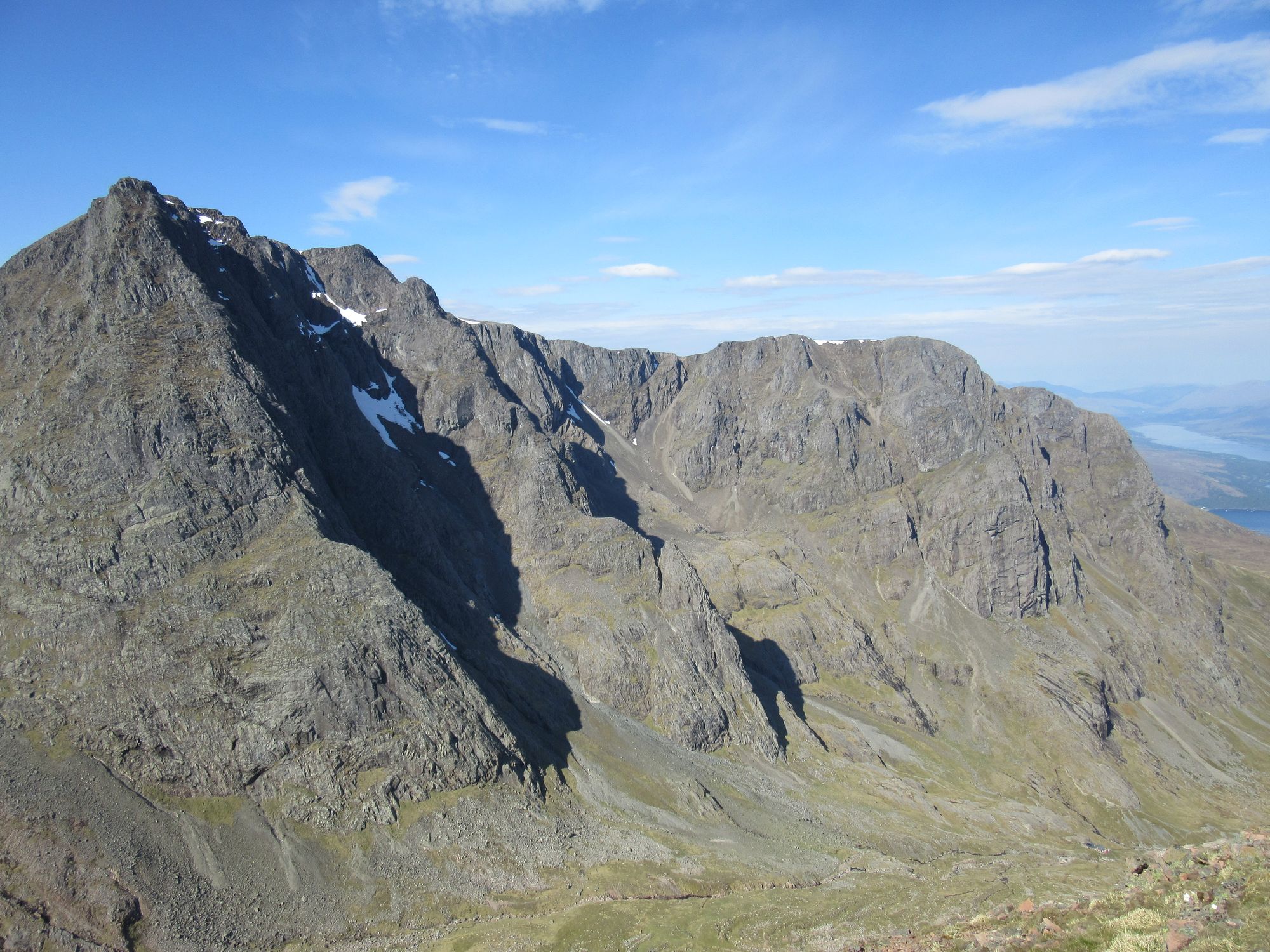
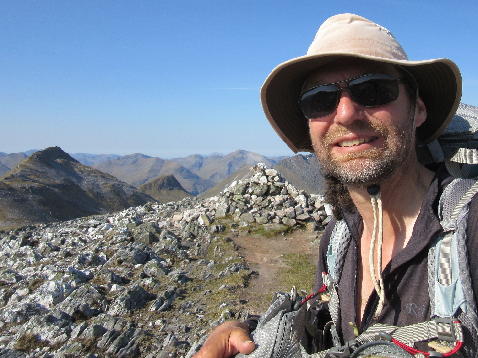
Pausing for lunch between the two Aonachs, I was delighted to meet a TGOC legend Roger B (14-time challenger in his mid-70s, and also on a 4000ers trip this year "to see if he could still do them"; I just hope I'm still going that strong at that age!) He'd been in the Ben summit shelter the night before.
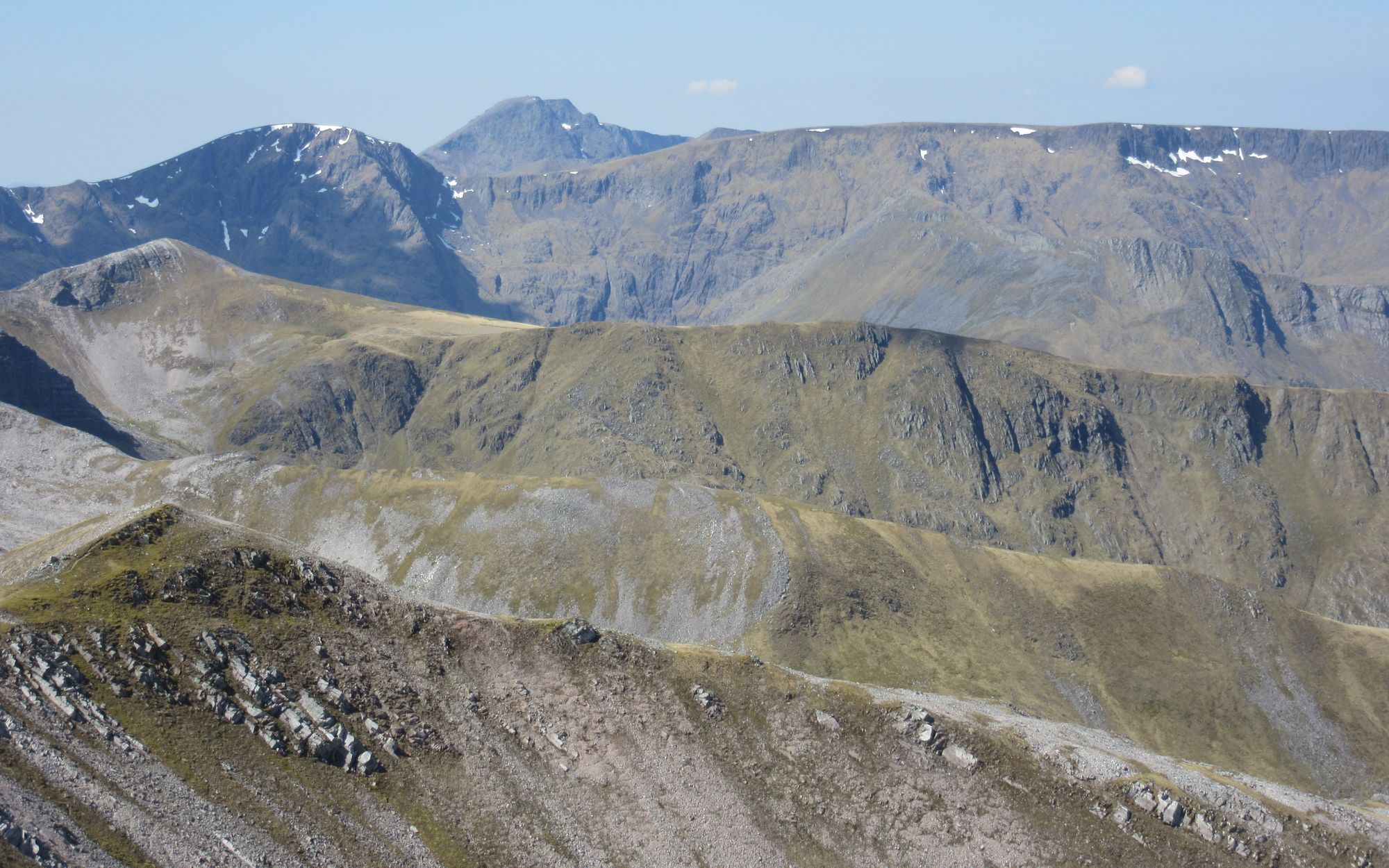
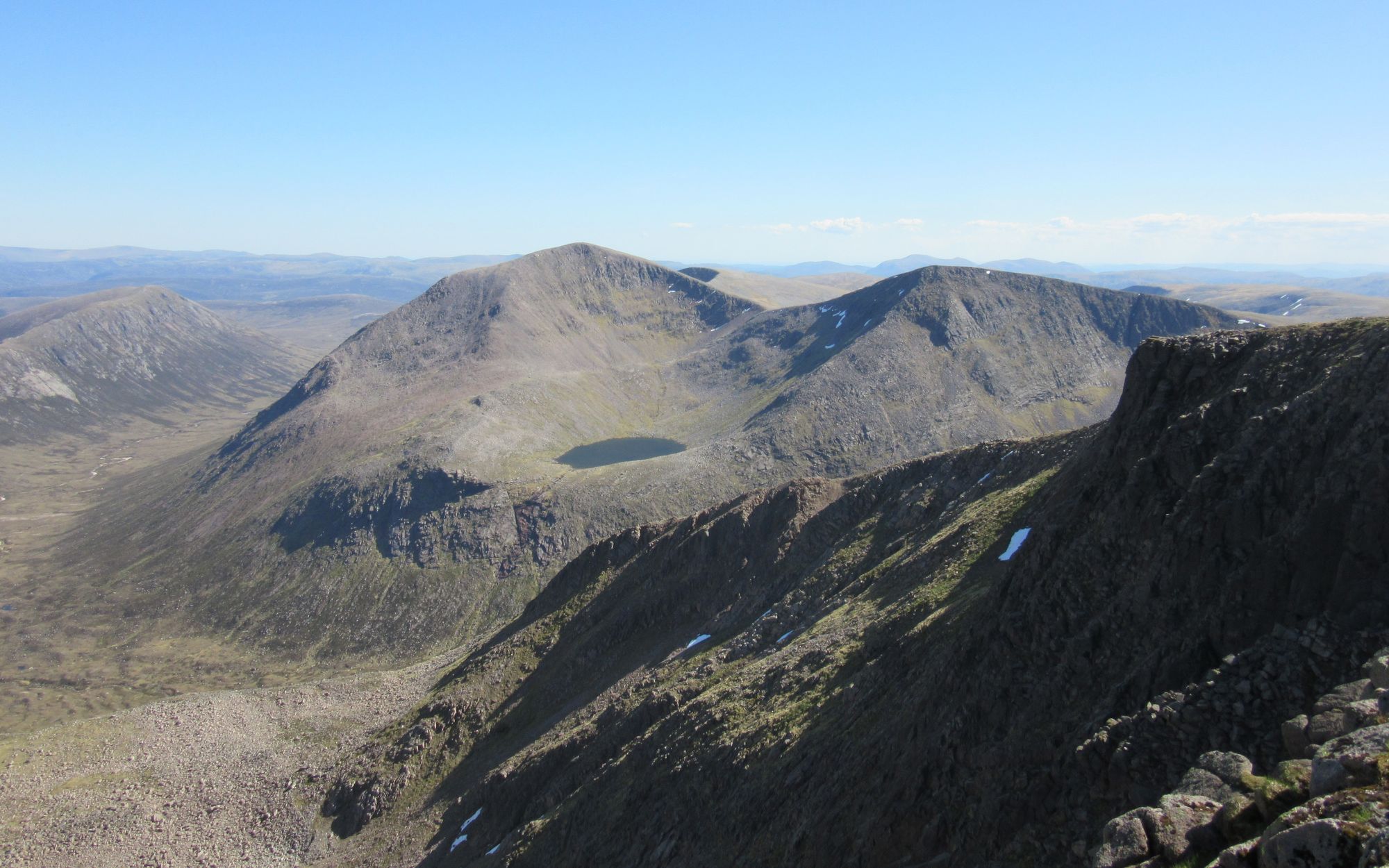
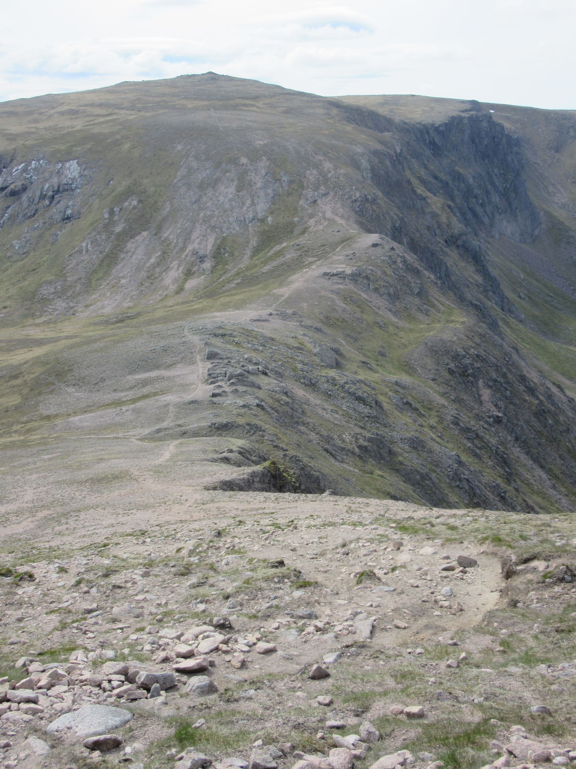
We continued on together over the couple of tops south-east of Aonach Beag and then the tricky brief steep descent into Coire a'Bhuic.
View east from Sgurr a'Bhic (the southernmost top of Aonach Beag).
In the corrie I was able to obtain some water for a camp and we parted ways with him descending to the glen while I continued on the high ground towards Sgurr Choinnich Beag.
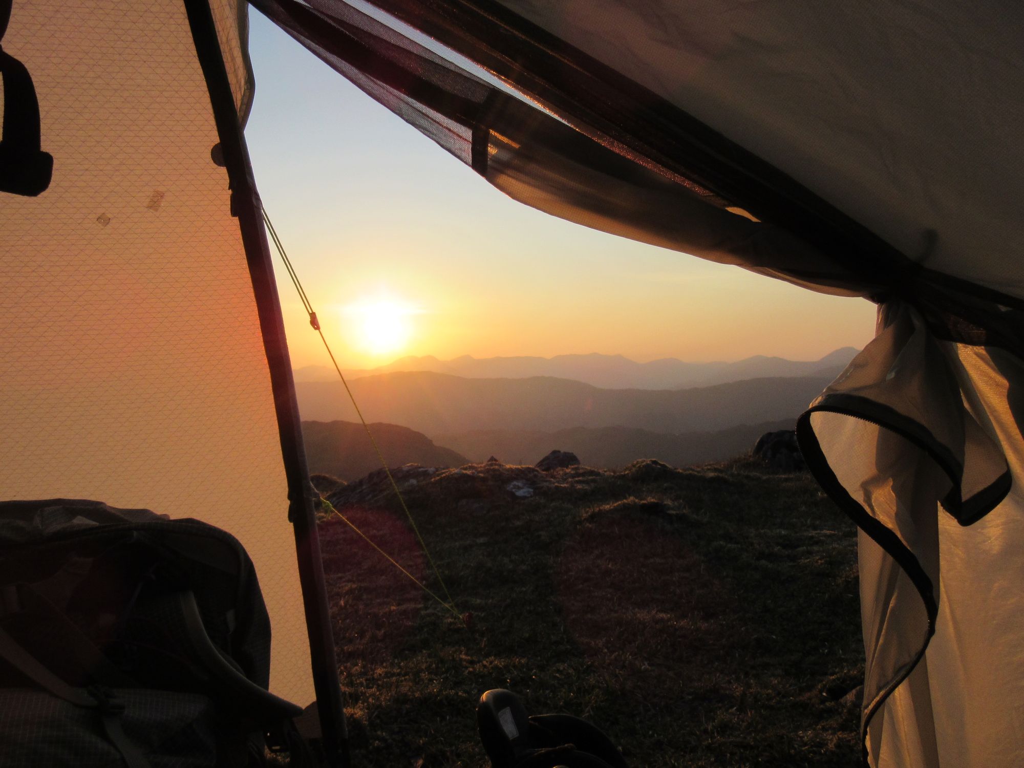
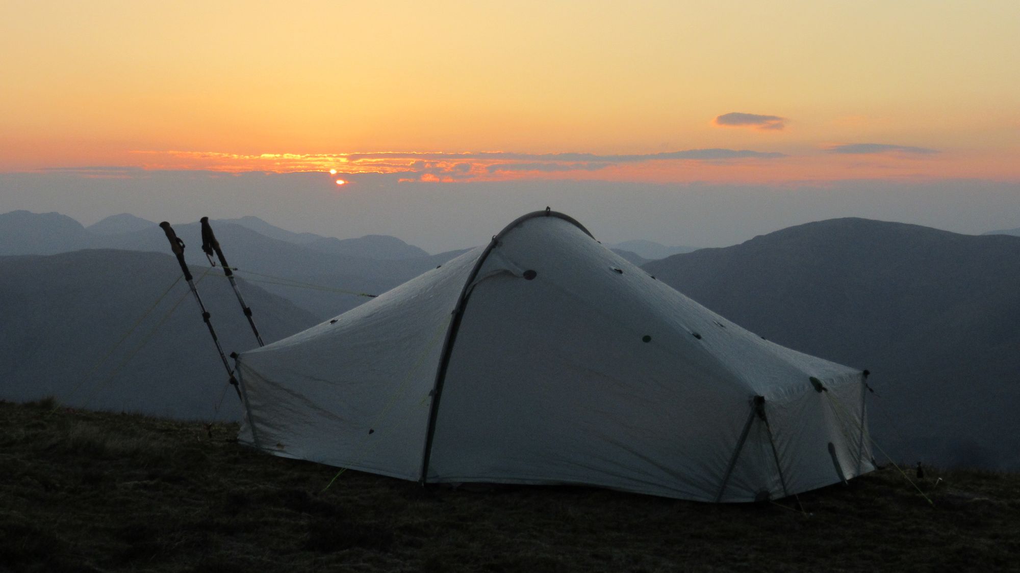
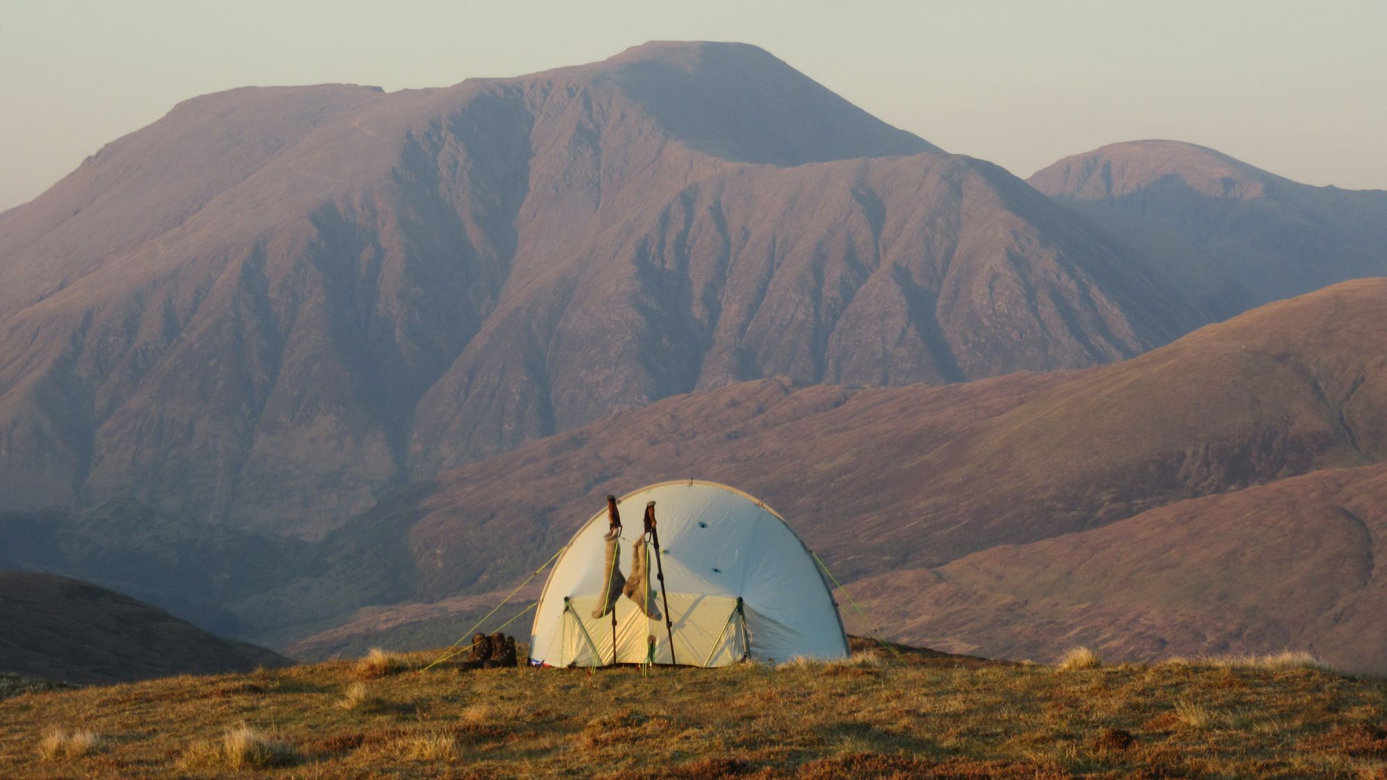
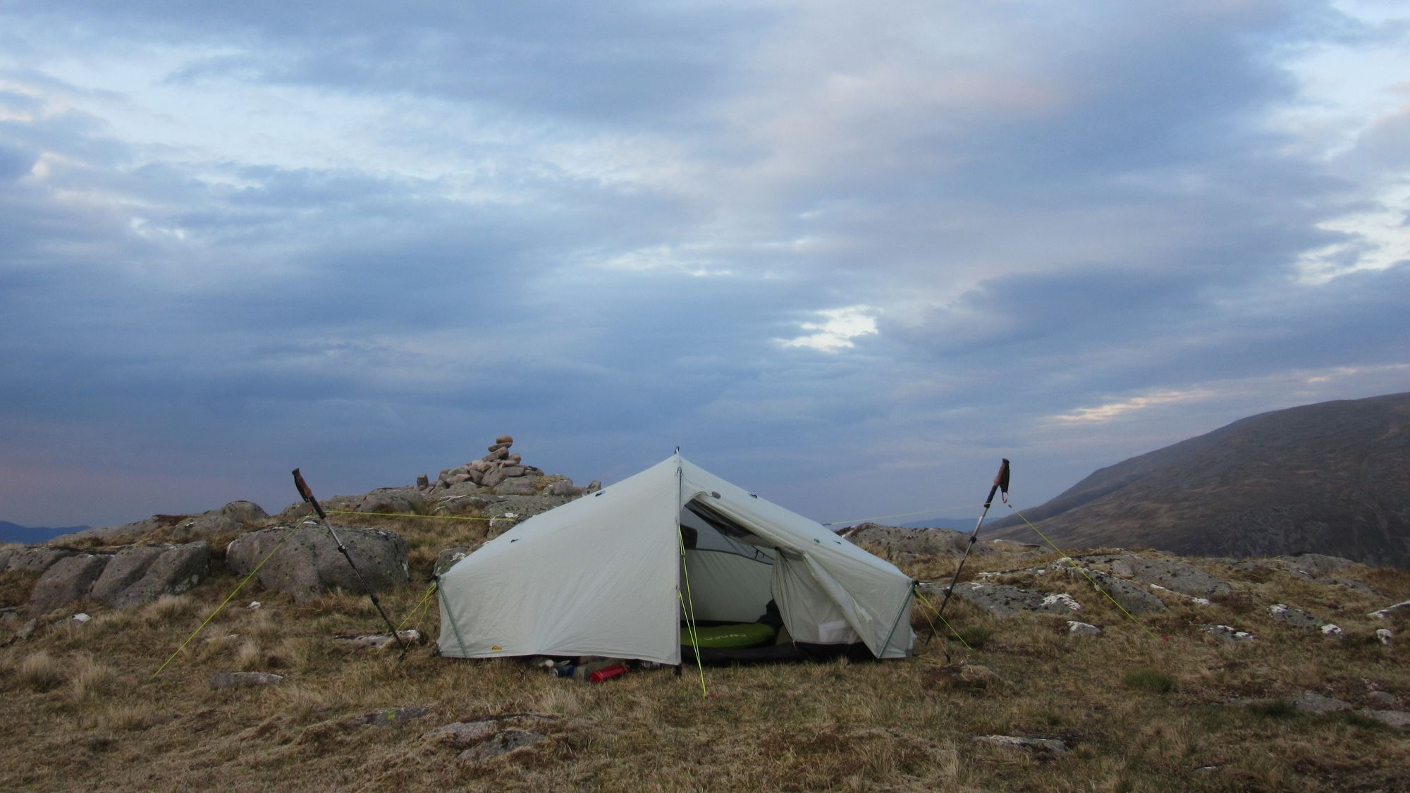
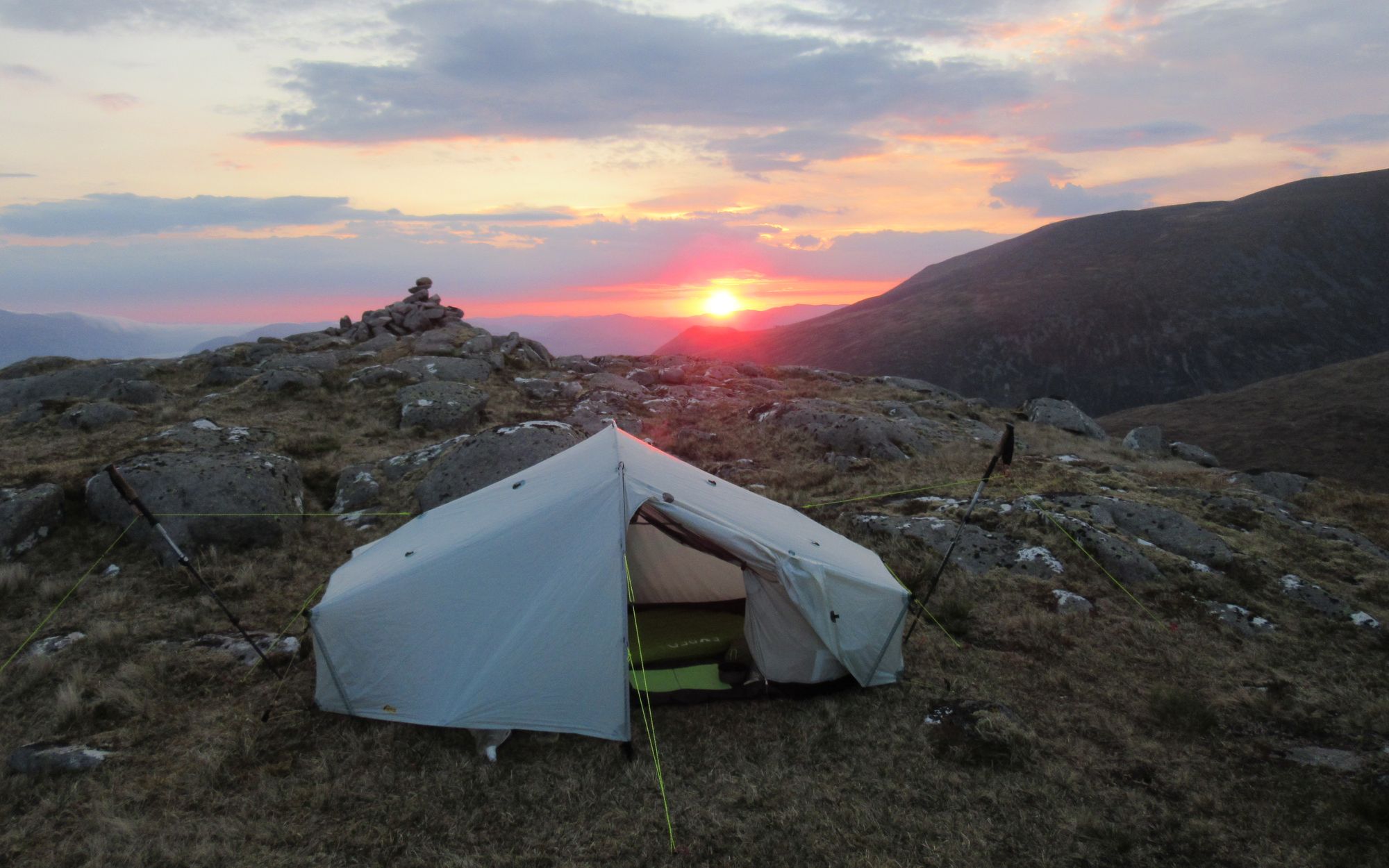
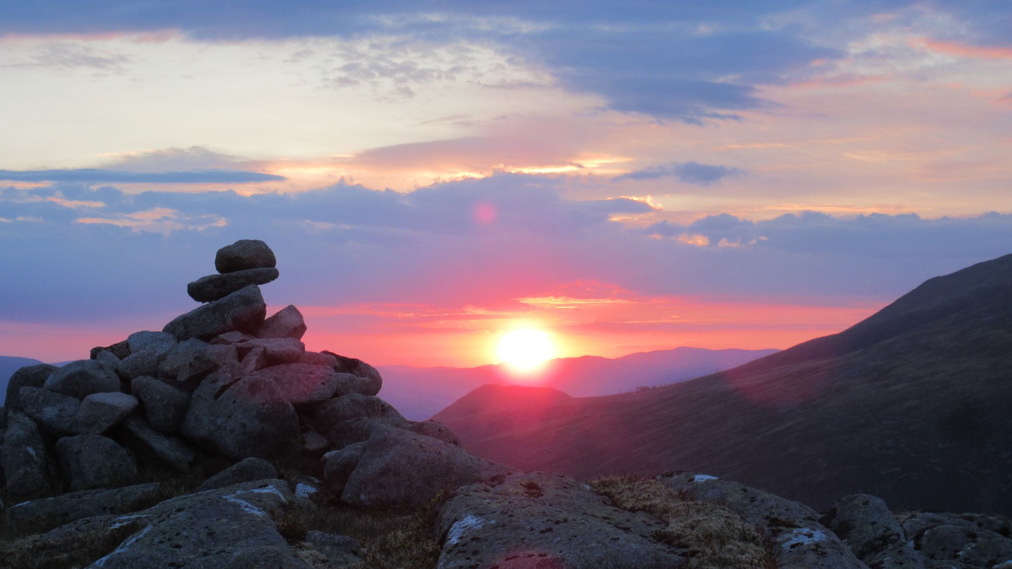
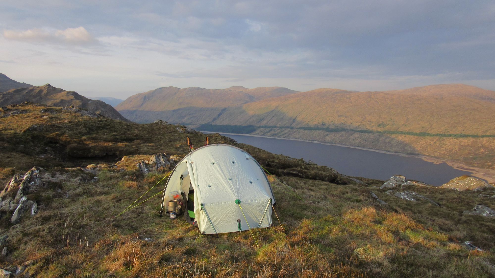
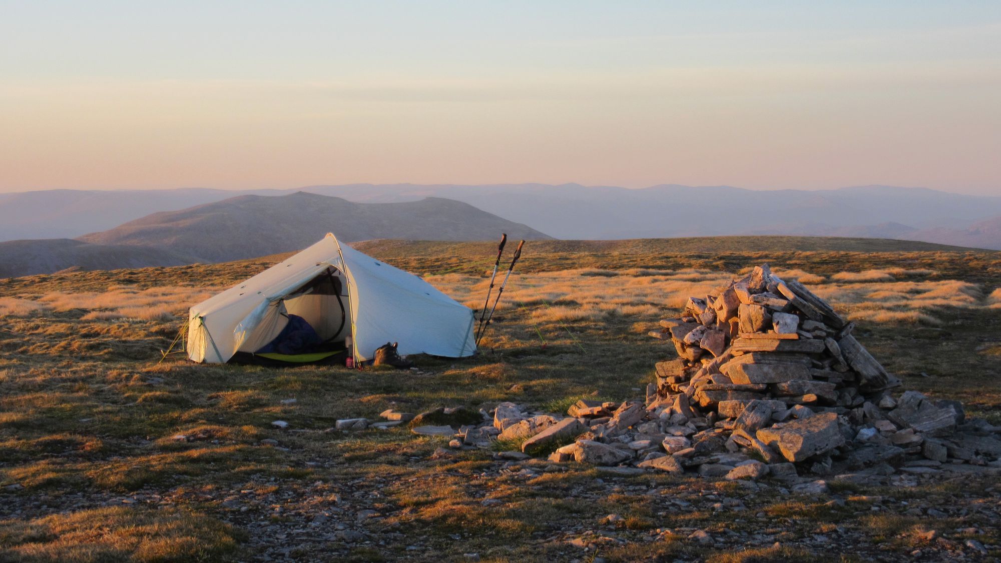
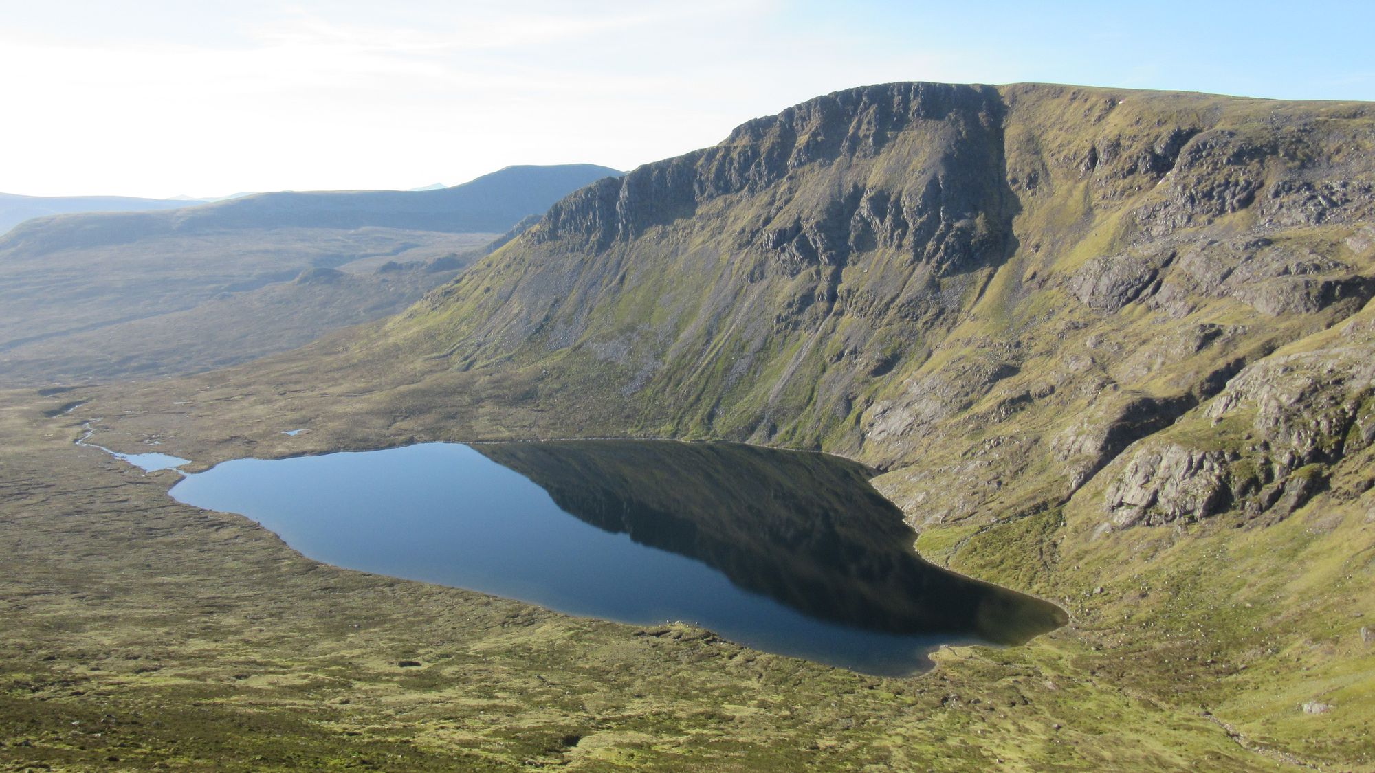
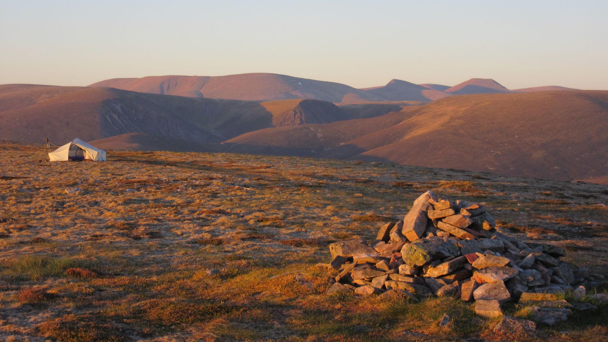
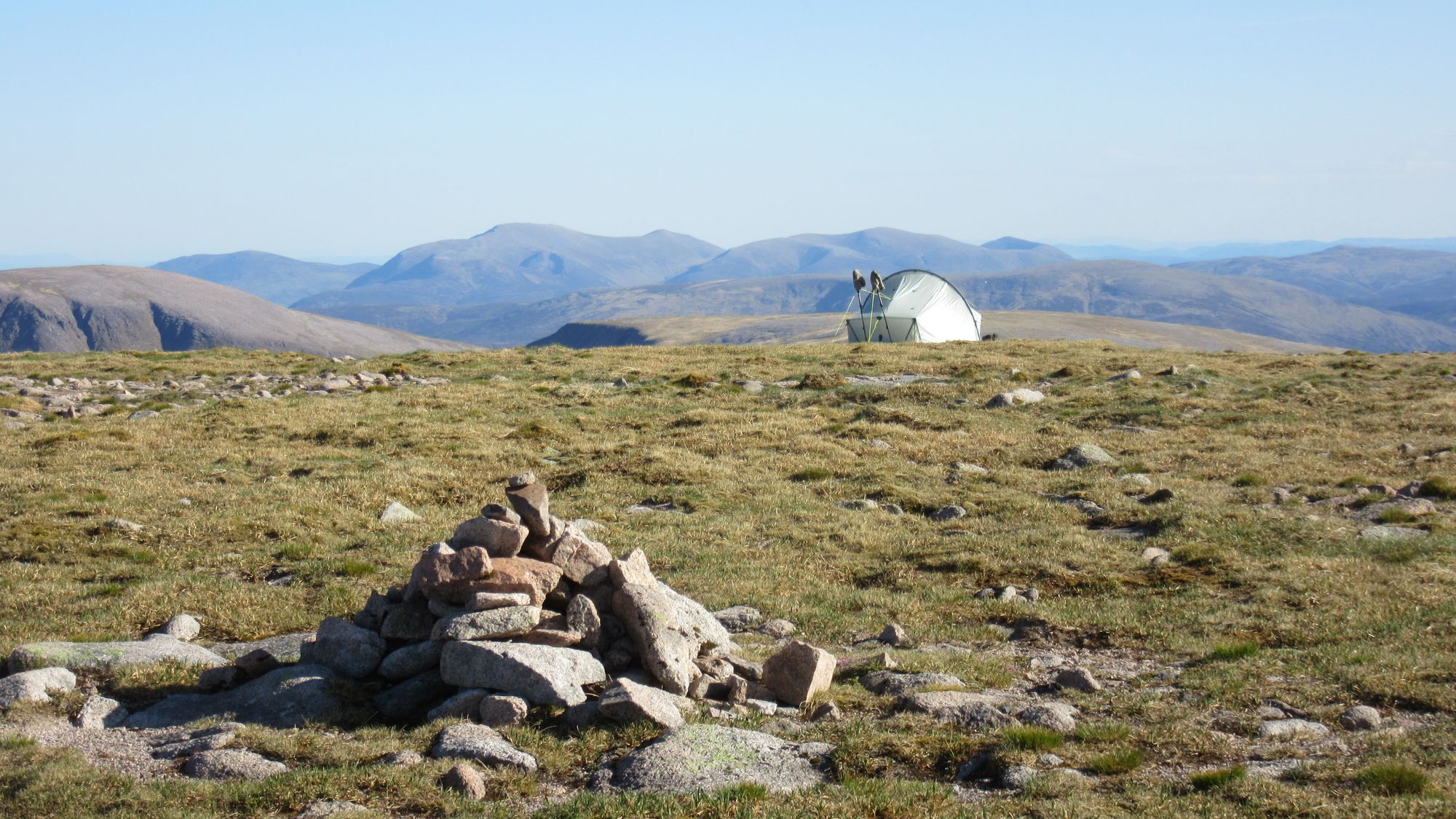
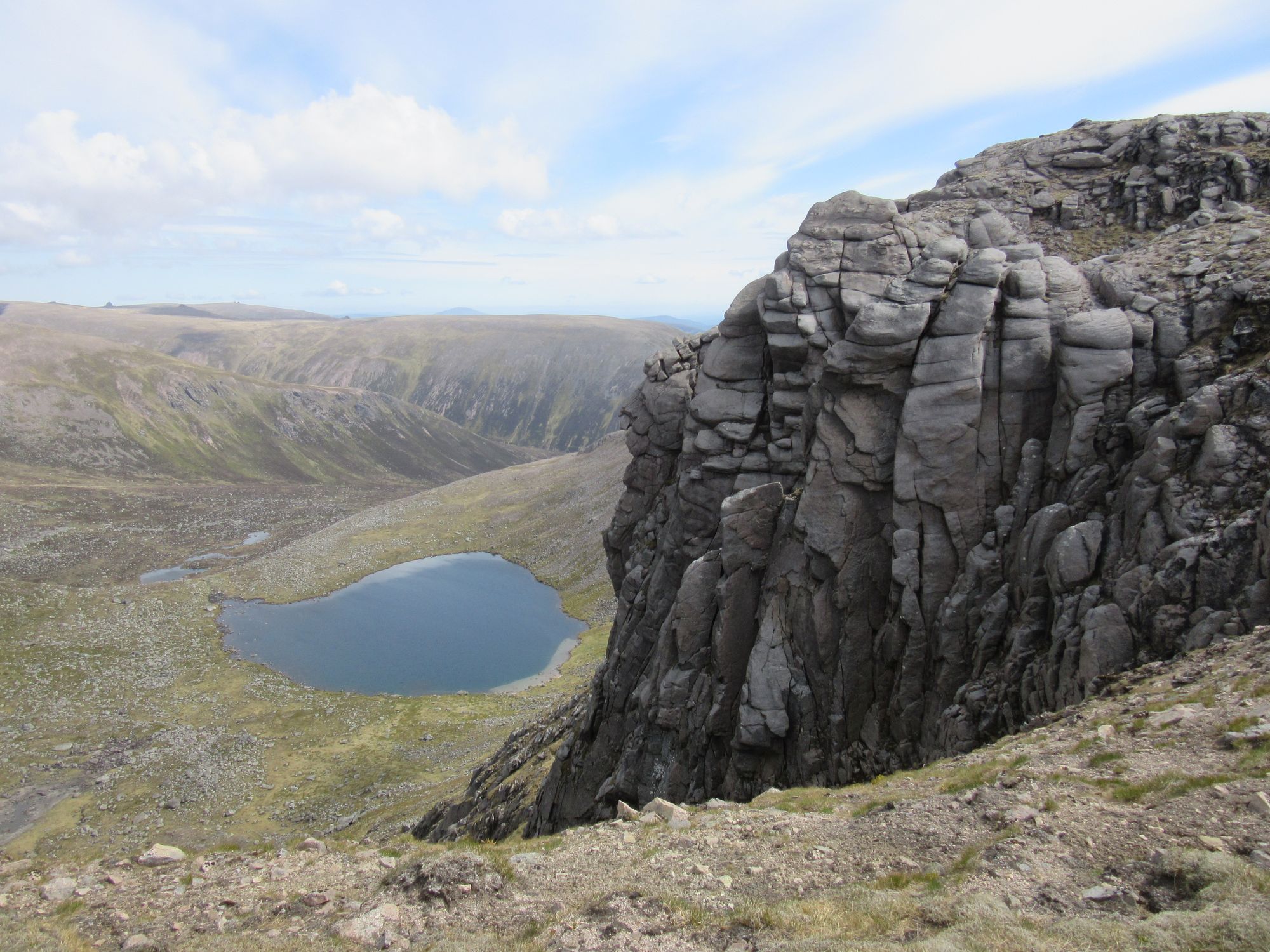
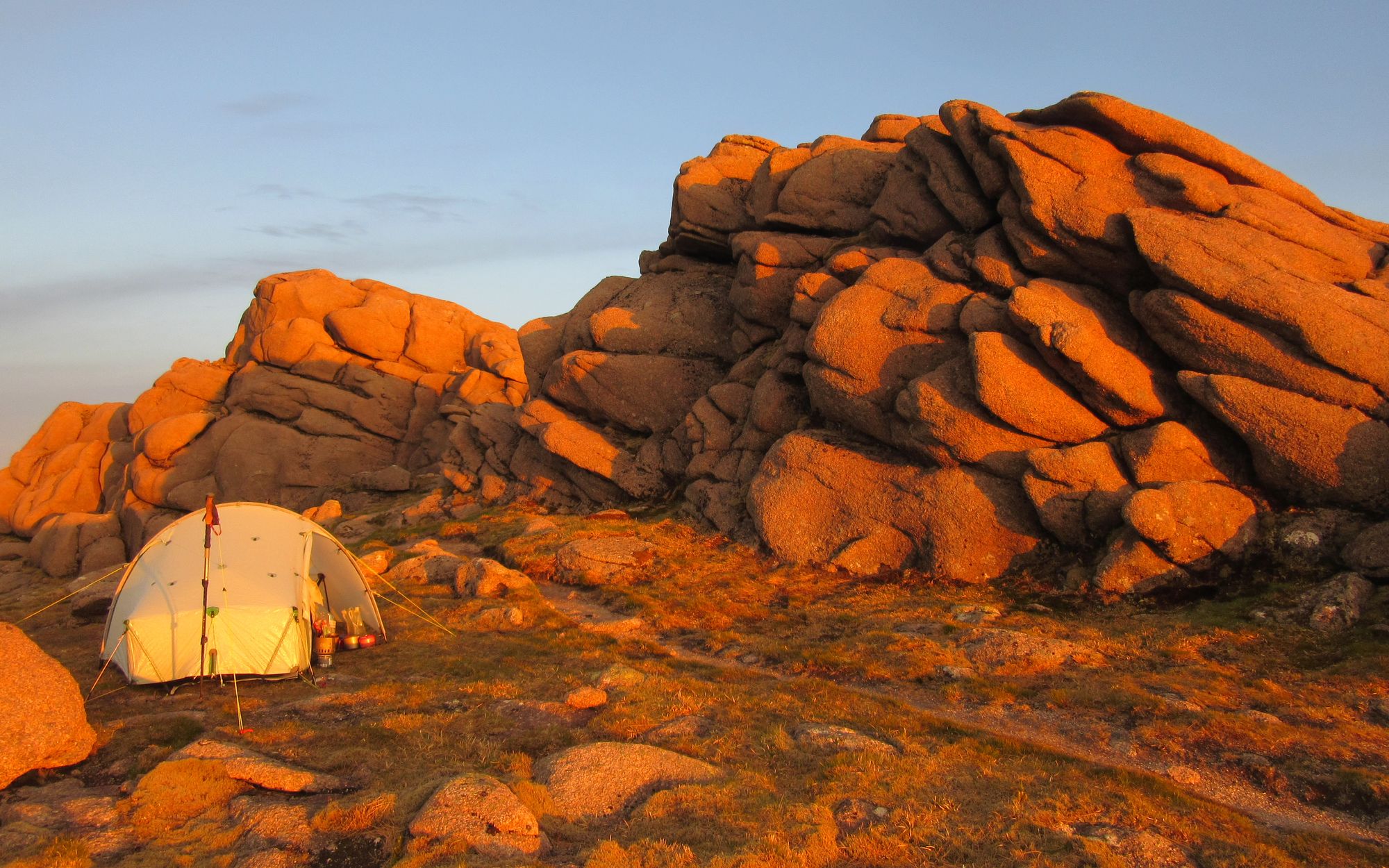
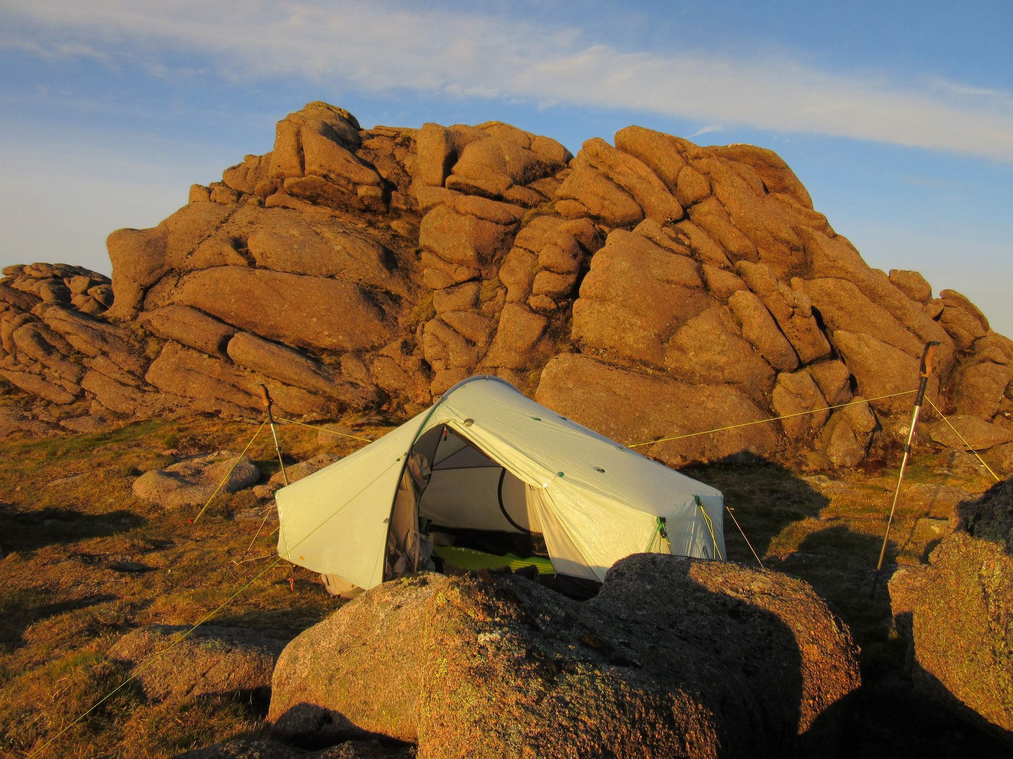
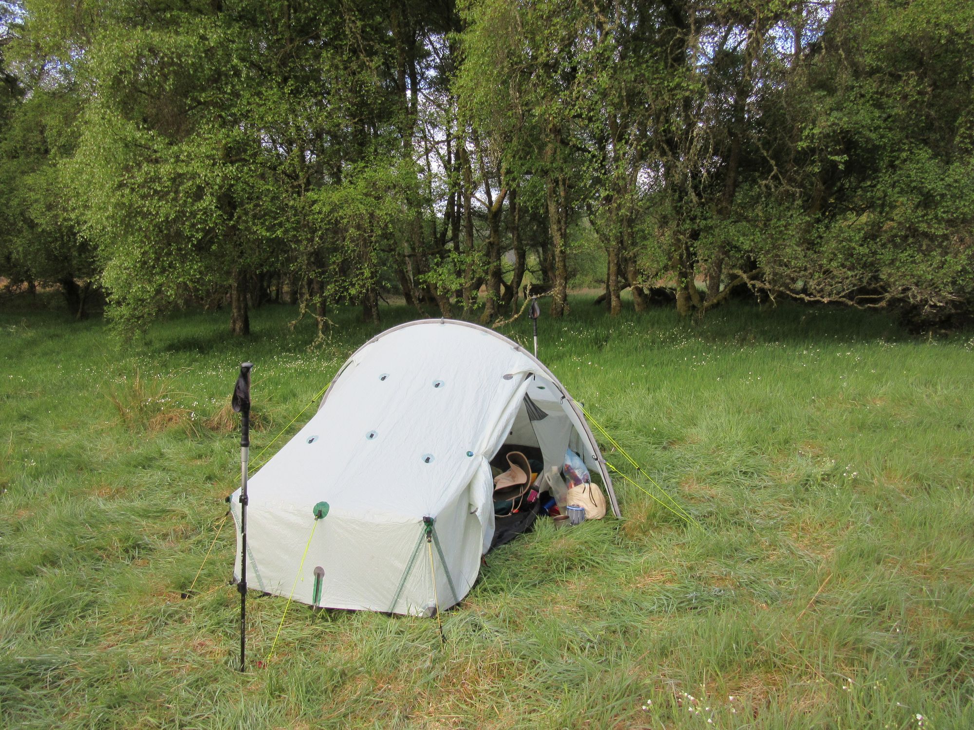
I was not entirely sure where it'd be feasible to camp in this part of the world, and my original plan had specified a stop at the bealach between Sgurr Choinnich Mor and Stob Coire Easain as it seemed a safer bet there'd be somewhere suitable there. But before reaching that, the summit of Sgurr Choinnich Beag offered a tempting grassy spot for a high camp; however I rejected it as any sunset views would have been blocked by the great wall of Aonach Mor to the west and I decided to press on to the next, higher peak. Sgurr Choinnich Mor's summit turned out to be impossible to camp on, but continuing to descend the knife-edged ridge off it I suddenly came across a just-big-enough grassy terrace, albeit with something of a cliff on the north side.
One of those pitches which makes you think "not a place for sleep-walkers!", and before getting the tent out I also got online to make a final double-check that a gale wasn't forecast to blow up overnight.
Sunset from Sgurr Choinnich Mor.
Day 5
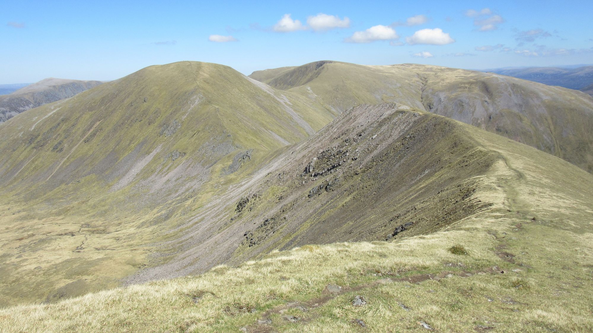
Sgurr Choinnich Mor - bealach S of Stob Coire Easain - Stob Coire Easain (MT) - Stob Coire an Laoigh (1116m, M) - Caisteal (MT) - Stob Coire Cath na Sine (MT) - Stob a'Choire Leith (MT) - Stob Choire Claurigh (1177m, M) - Stob Ban (977m, M) - E then S to Meall Mor - S to Beinn nan Each - E to Creag Ghuanach (621m, G).
I'd been along the Grey Corries a few times as a day-trip and it always seemed like quite a big undertaking with a long walk in and then later out to get back to the start. It seems a lot easier and goes a lot faster when you wake up at altitude right next door to it all!
Views heading along the Grey Corries.
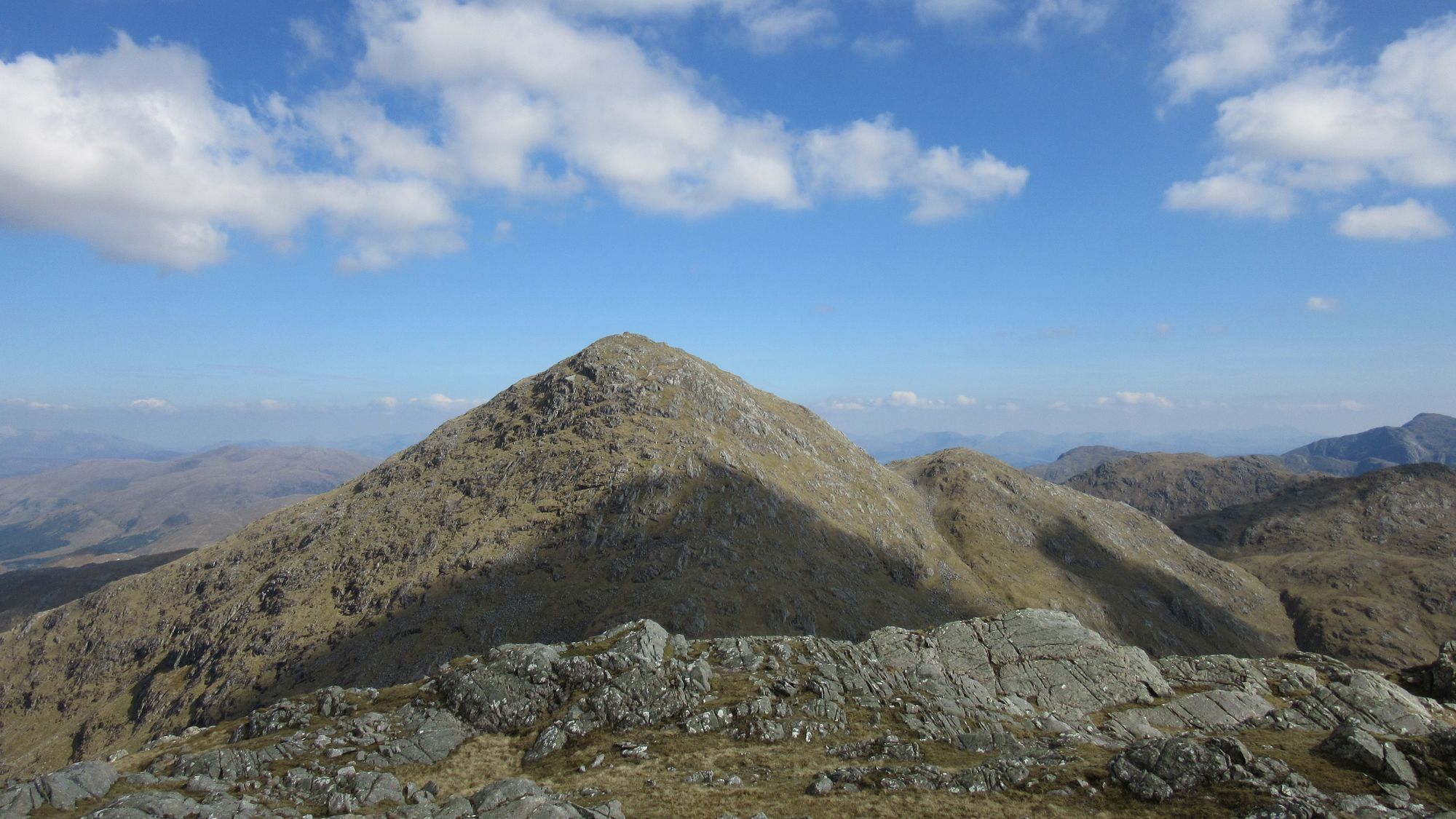
Looking back west towards Ben Nevis from Stob Choire Claurigh.
I lingered on the top of Stob Choire Claurigh for a while in the good weather before descending south to tackle Stob Ban's horrid scree slopes.
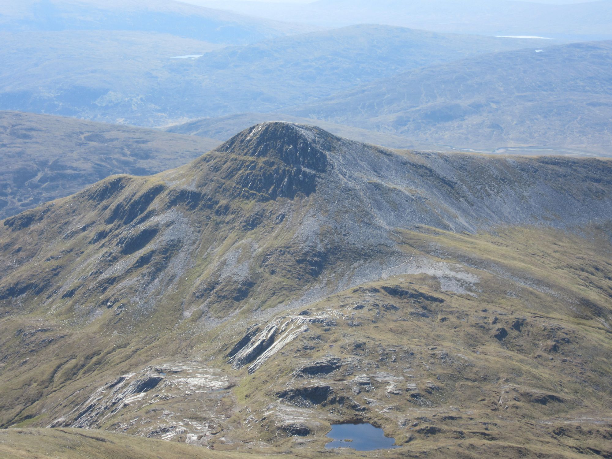
View across from Stob Choire Claurigh to Stob Ban.
From the summit of Stob Ban I followed the usual path down towards the Lairig Leacach for a while but then broke off south across some rough but dry country.
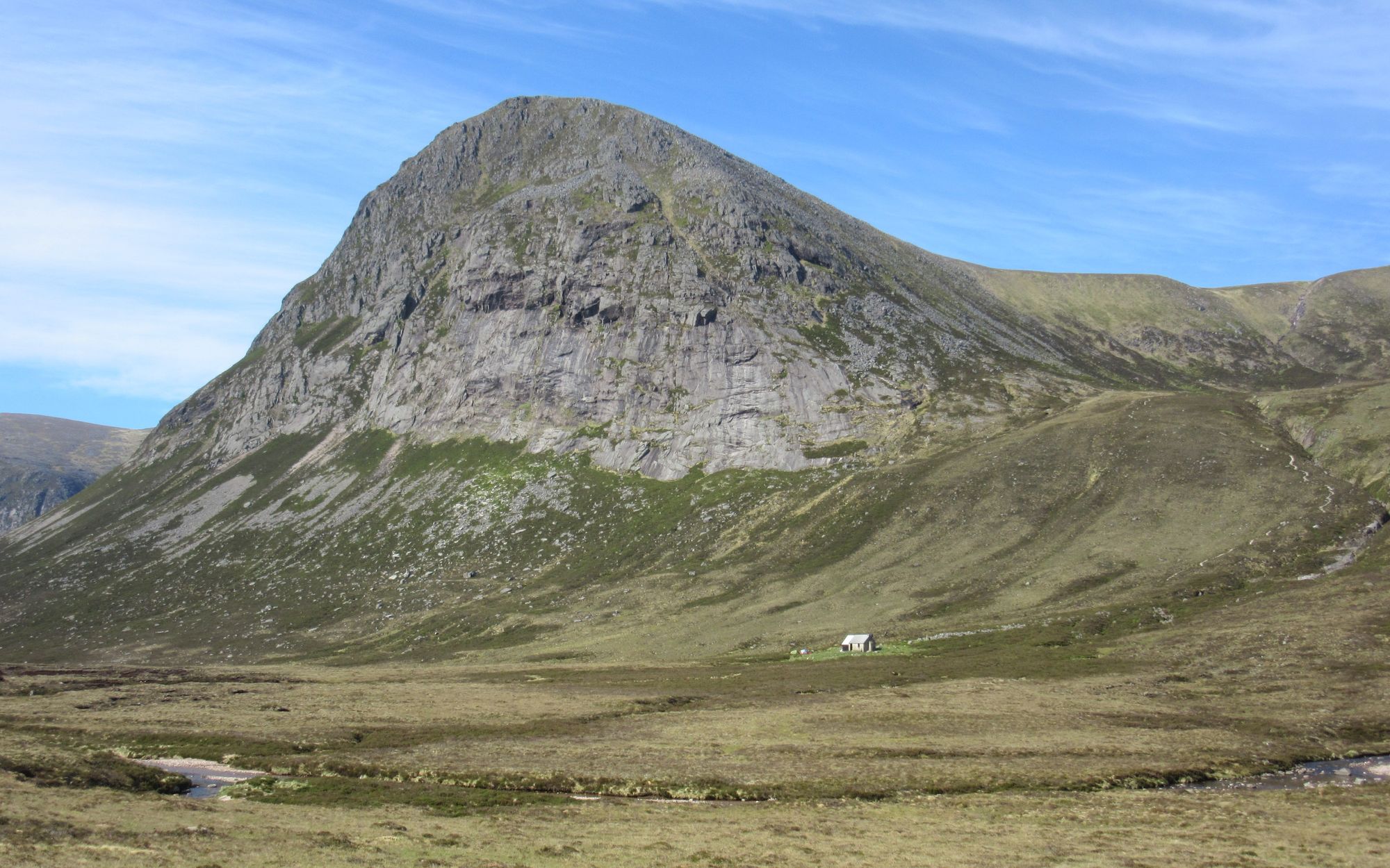
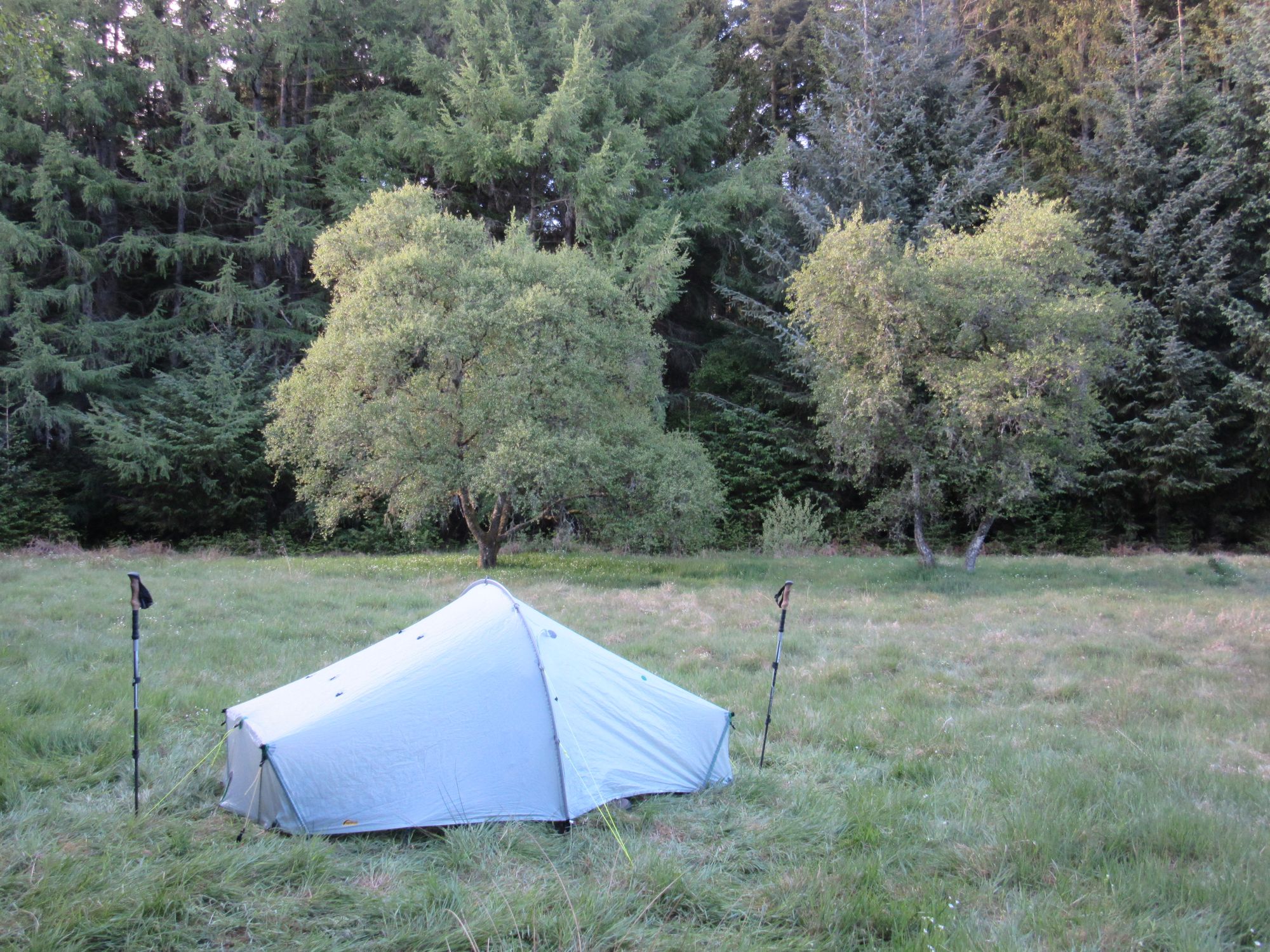
Crossing a couple of minor lumps, I made my the way to Creag Ghuanach where I camped by the small lochan on the summit.
Wandering a little away from the summit to above the hill's craggy eastern side I could see a couple of backpacker-looking tents - one of them another Scarp! - set up next to the derelict Creaguaineach Lodge; surely other TGOCers!
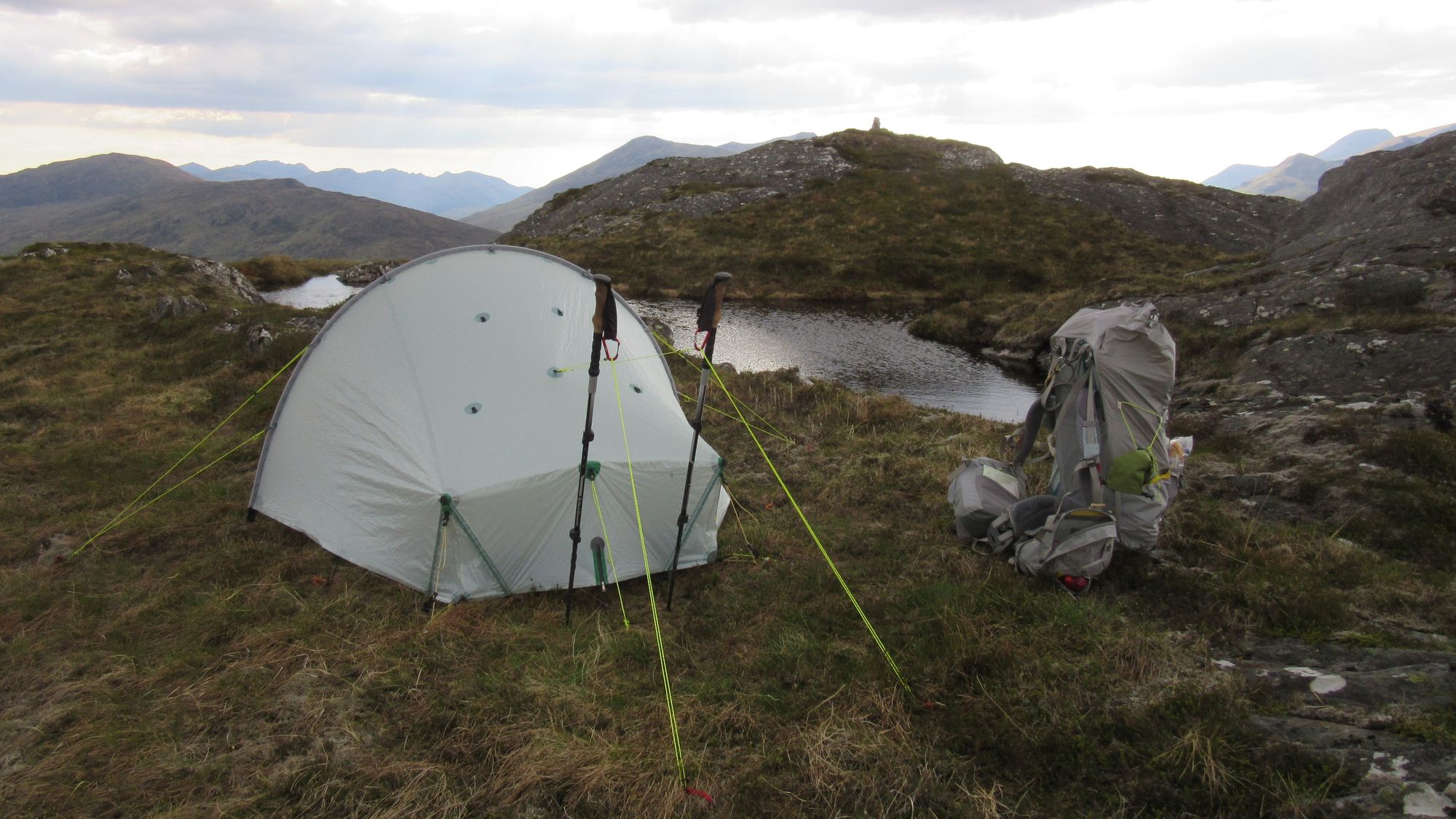
Creag Ghuanach summit camp scenes.
The sun went down behind the wall of the Grey Corries hills.
Day 6
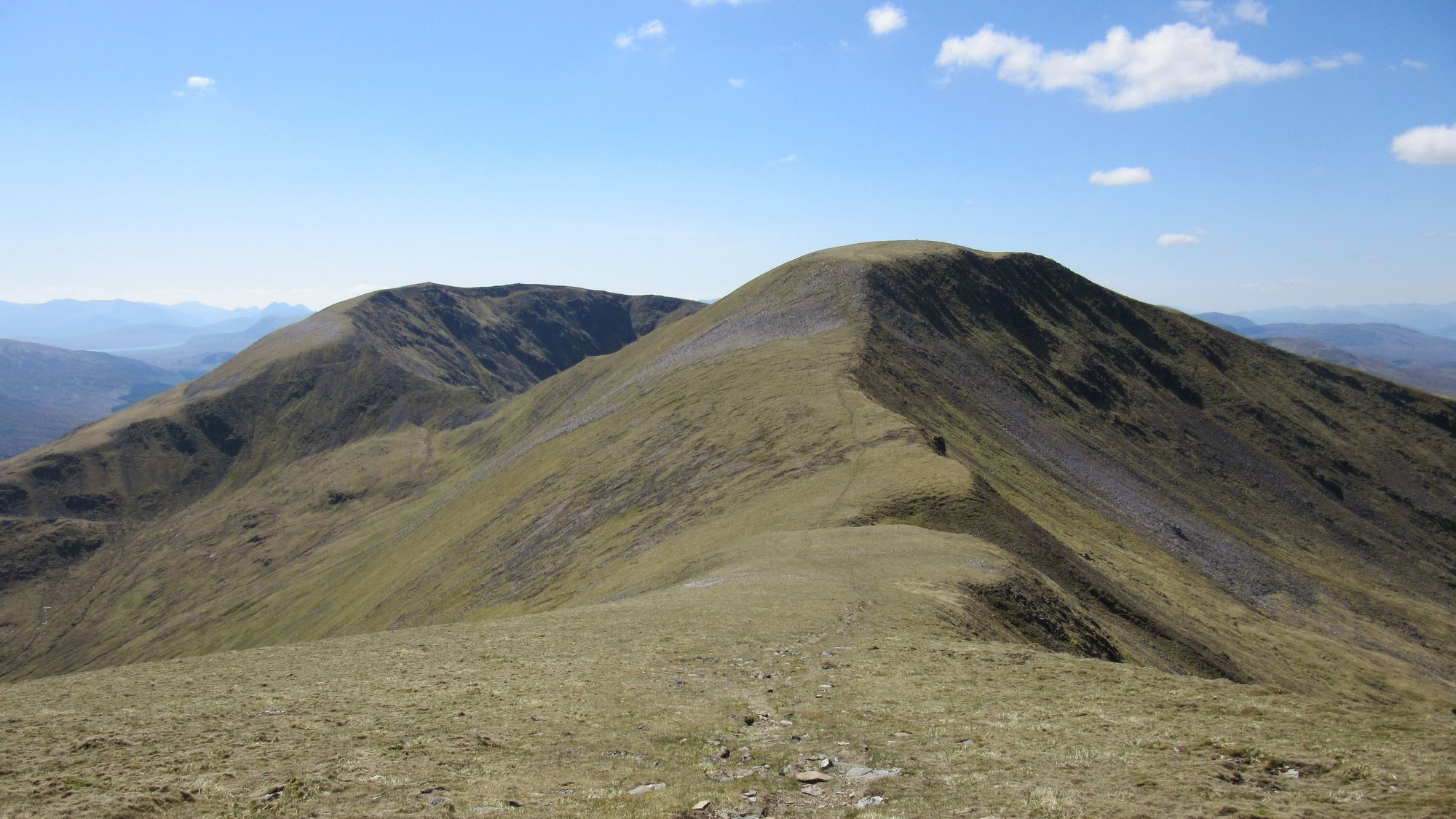
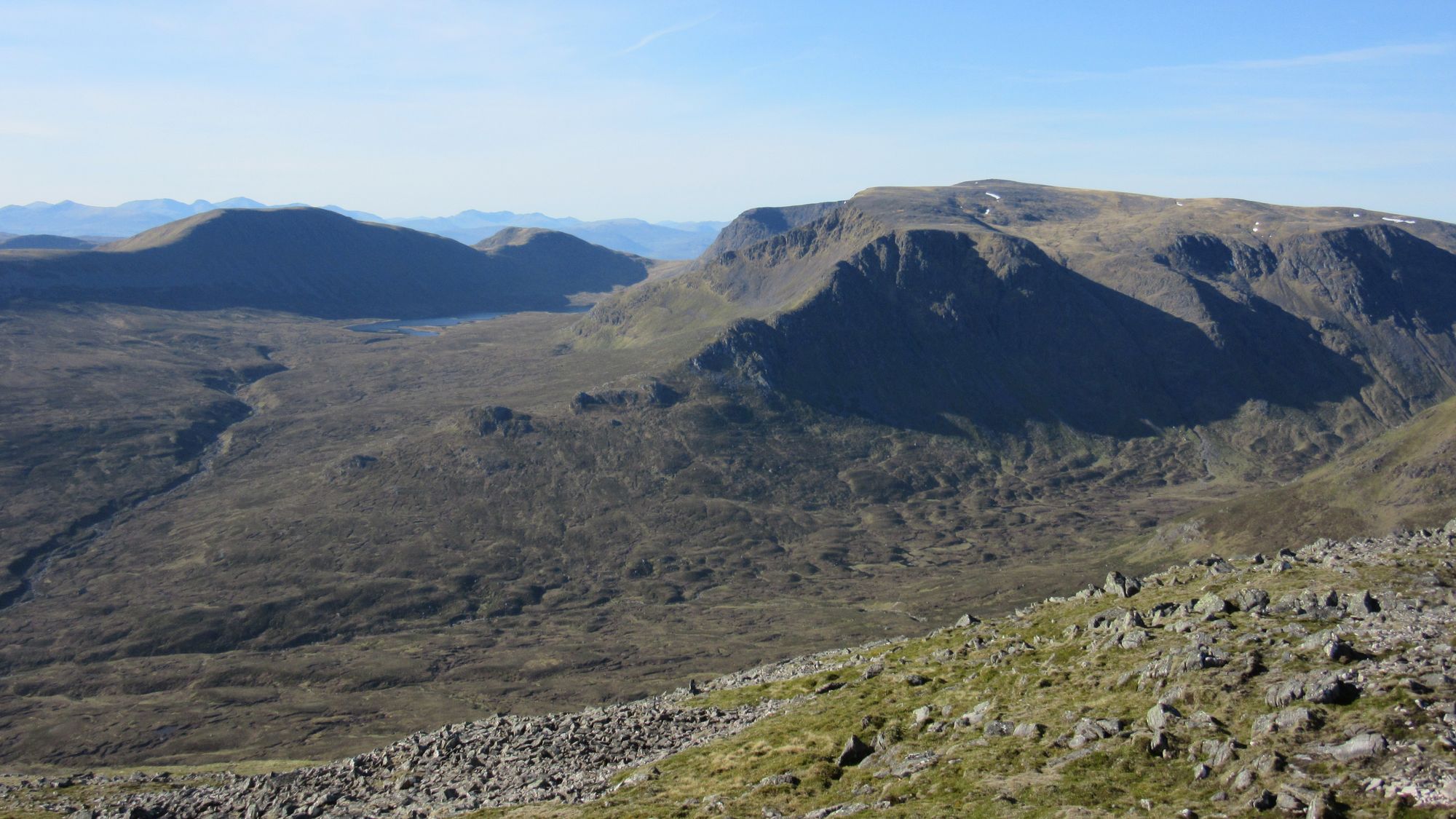
Creag Ghuanach - S towards Staoineag - path to Creaguaineach Lodge - track S of Loch Treig - track to W end Loch Ossian - track N side of Loch Ossian - Corrour Shooting Lodge - track N side Uisge Labhair - Meall Glas Choire (MT) - Beinn Eibhinn (1102m, M) - Aonach Beag (1116m, M) - Geal Charn (1132m, M)
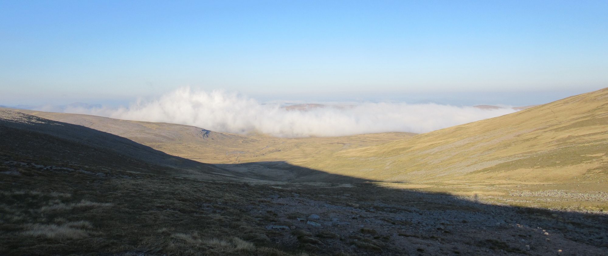
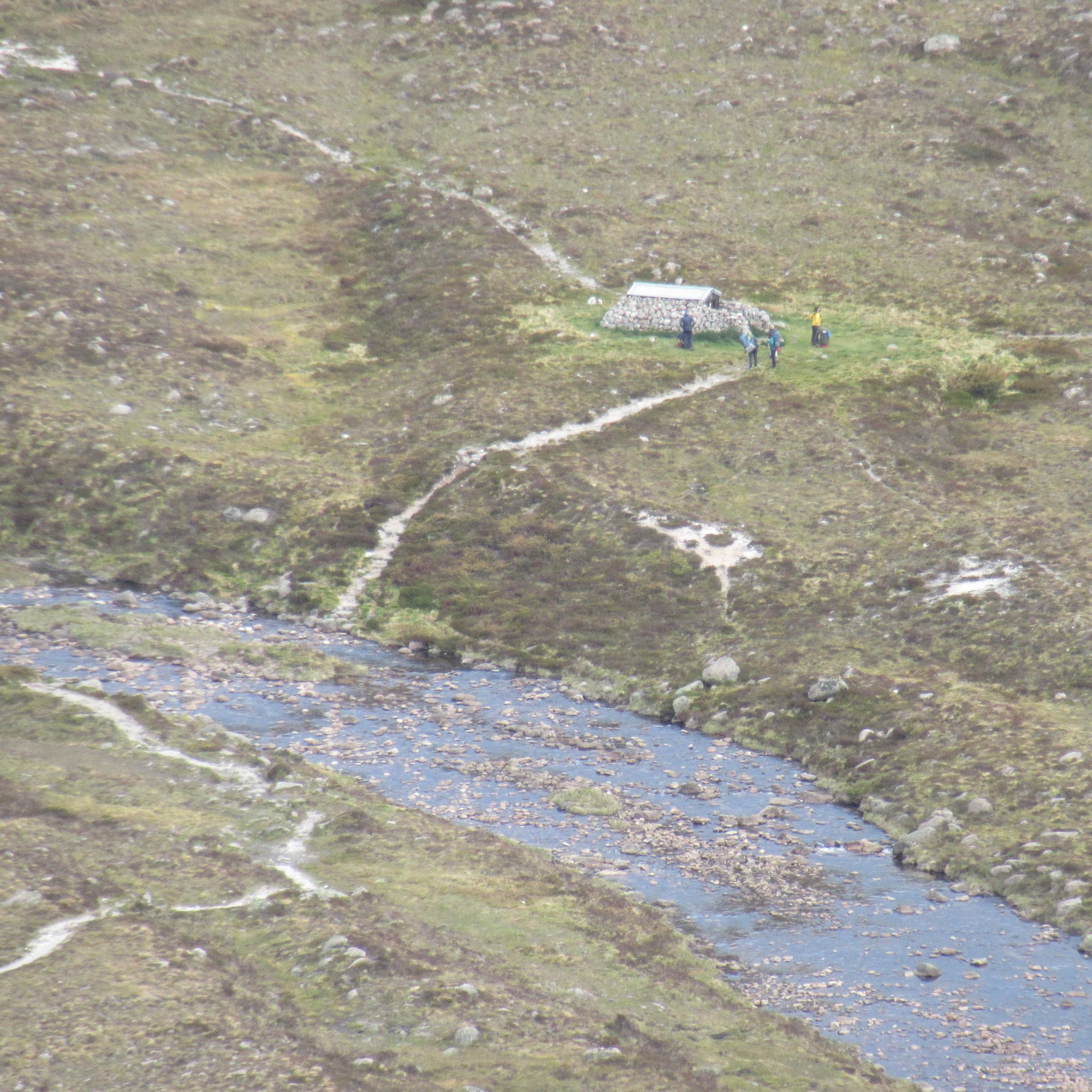
I woke up early to find I was in cloud, but soon came out of it descending towards Staoineag bothy where there were obviously a few people in residence. The track plod towards Corrour and then along the north side of Loch Ossian to the lodge went swiftly, with a brief pause to allow forestry operatives to drive a lorry out.
Passing Staoineag bothy, Creaguaineach Lodge, Loch Ossian SYHA and climbing away from Loch Ossian.
The fog on the hills all soon cleared and a little further east there was no reason not to stick to my main route's plan to go high again along the line of Munros north of the Bealach Dubh.
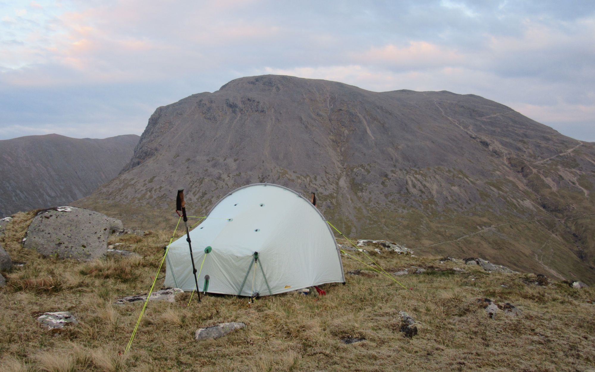
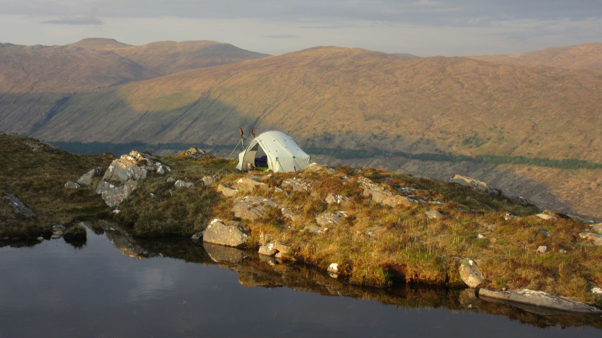
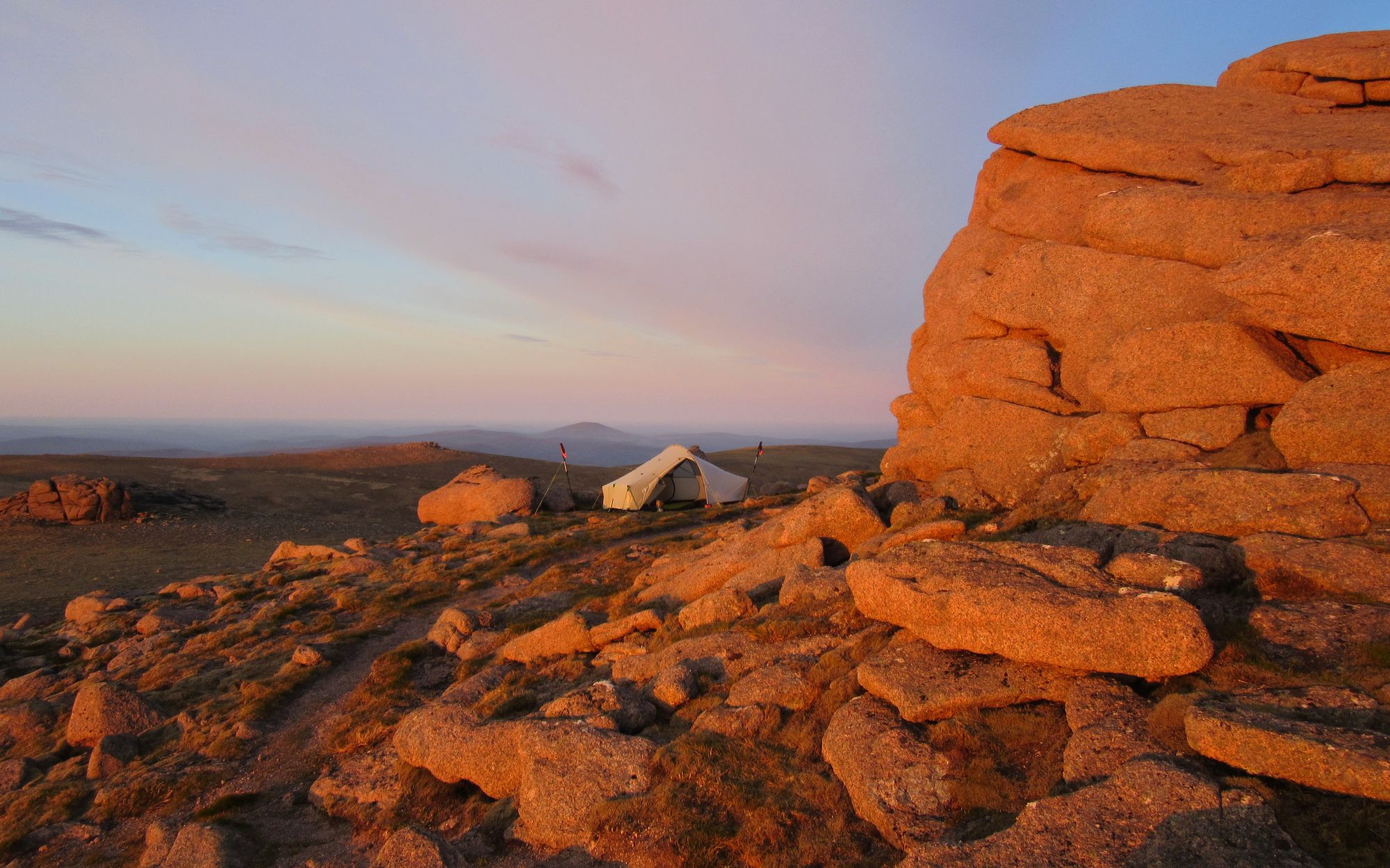
These are high-and-dry hills and rather than have to haul water over all of them my original plan had anticipated descending off Geal Charn towards Loch an Sgoir to find a camp with a water supply; my memory from a previous visit was that it was was fed a burn with some potentially good pitches next to it (albeit they'd loose the sun behind Geal Charn quite early), the burn flowing from a delightful cascade on the eastern cliffs of Geal Charn. However soon after the Geal Charn summit - while descending the gently sloping summit plateau towards the Aisre Ghobhainn which is the route off to the east - I came across a hollow with an enormous late-lying snow patch feeding a gushing burn which must have been the main supply for the aforementioned cascade.
Geal Charn views... and water!
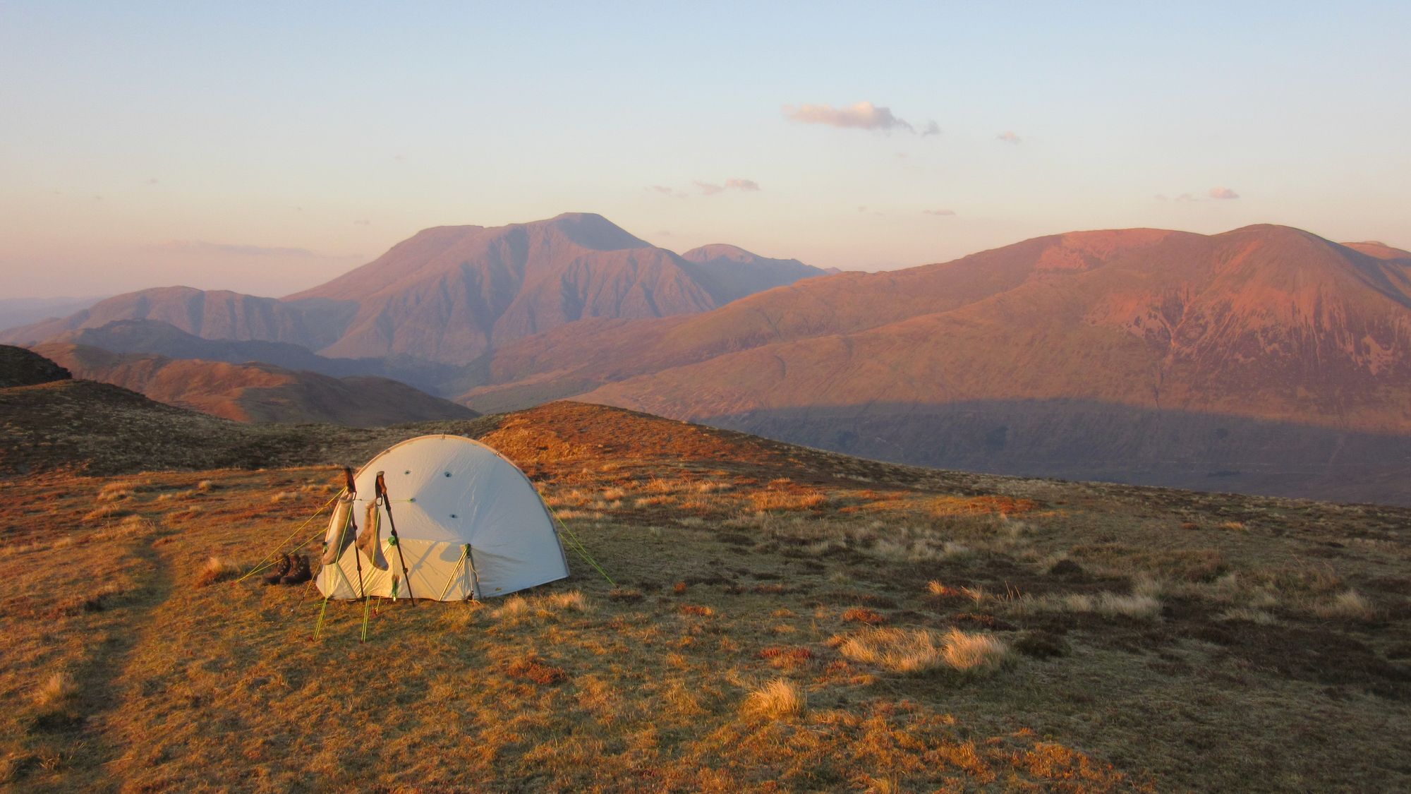
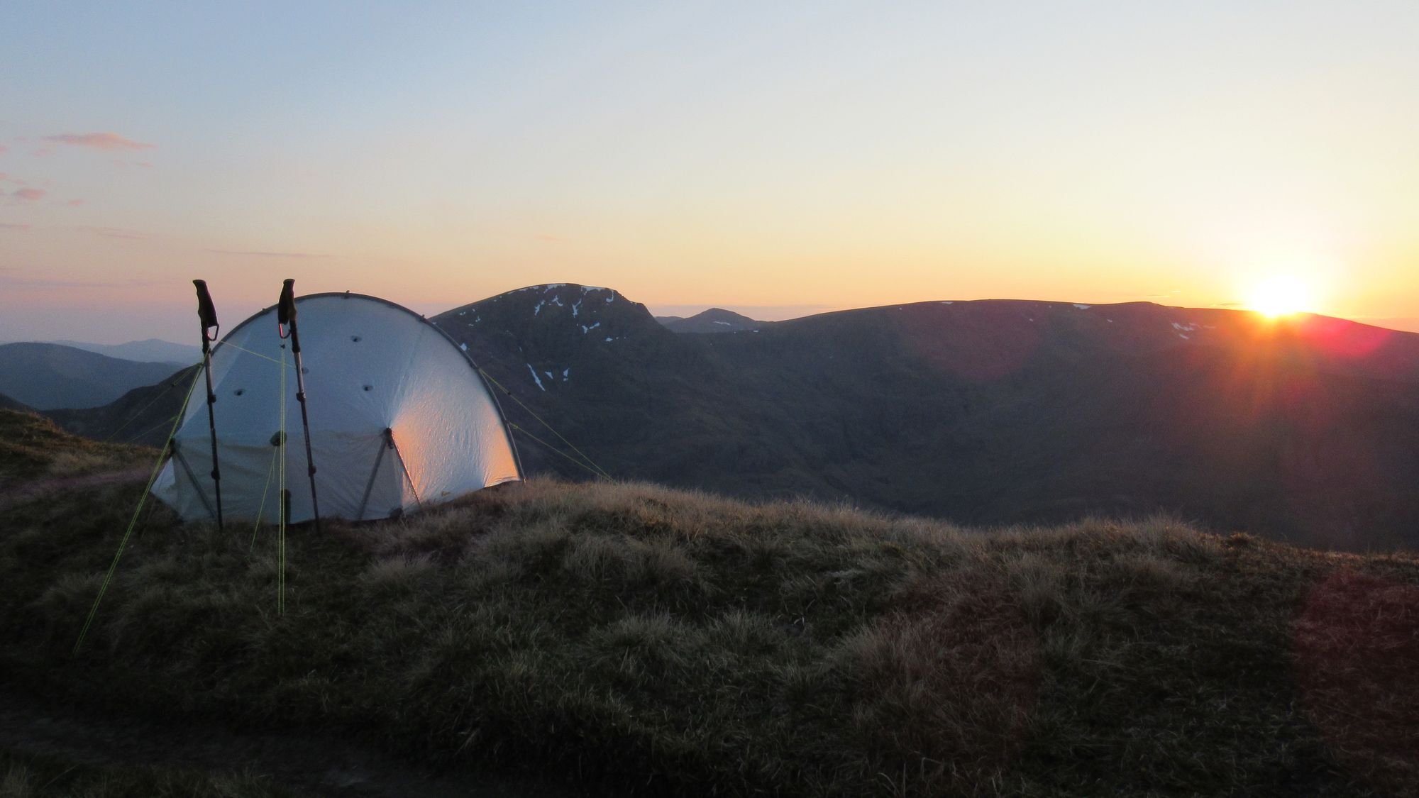
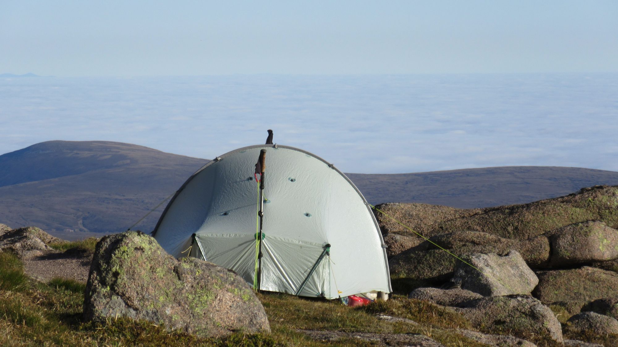
With such an abundance of water there was no excuse to not do another summit camp so I filled my platypus bottles and headed straight back to pitch my tent near the summit cairn.
Sunset on Geal Charn.
Day 7
Geal Charn - descend via Aisre Ghobhainn (named on 1:25K OS map only) - Diollaid a'Chairn (MT) - Carn Dearg (1034m, M) - Pt.827 - track S of Loch Pattack then E - NNE through gap in trees - Meall Cruaidh - Pt.901 - The Fara/Pt.911m (C) - ESE descent via firebreak to An Tochailt - track to Dalwhinnie (use railway underpass, not the closed rail crossing at station)
I descended off Geal Charn by the steep and narrow Aisre Ghobhainn spur at its east end - meeting a few deer and some ascending Munro baggers who'd been camped outside the (closed) Culra bothy - and continued on to traverse Carn Dearg.
Descending east off Geal Charn summit towards Carn Dearg.
Looking back up the Aisre Ghobhainn descent route off Geal Charn; cascades in the gullies on the left.
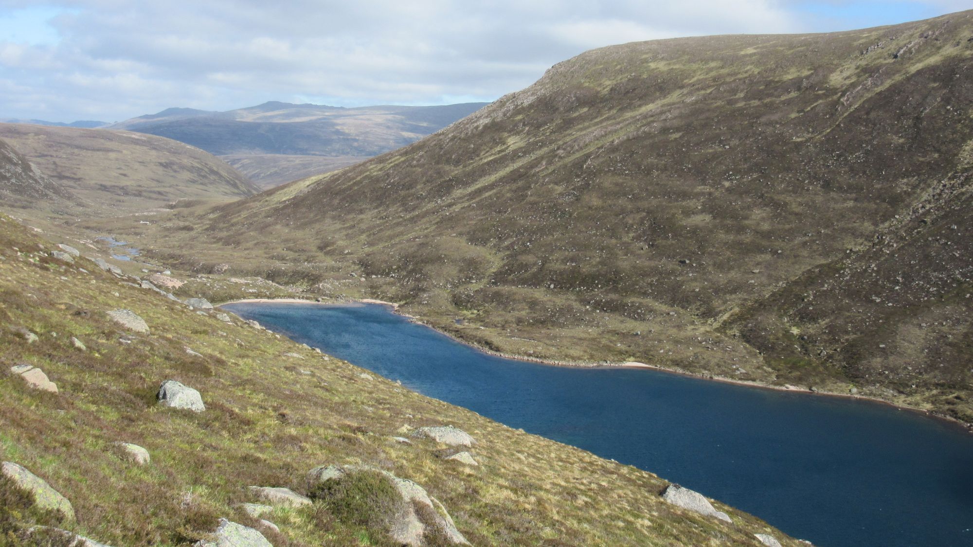
Loch an Sgoir, tucked into an eastern corrie of Geal Charn.
I continued down the north-east ridge off Carn Dearg to meet the track towards Loch Pattack.
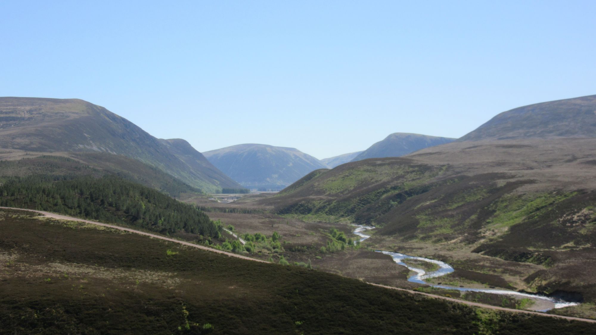
Views from Carn Dearg to Ben Alder and Beinn Bheoil, and to Loch Pattack and The Fara.
The weather was fantastic, so I stuck to the plan of reaching Dalwhinnie by a traverse of The Fara; I've done that before and it's much nicer than the long tedious plod on the estate track besides Loch Ericht.
View back from The Fara towards Ben Alder (centre); Loch Ericht on the left of it, Geal Charn on the right.
Cruising along The Fara; much nicer than the track beside Loch Ericht!
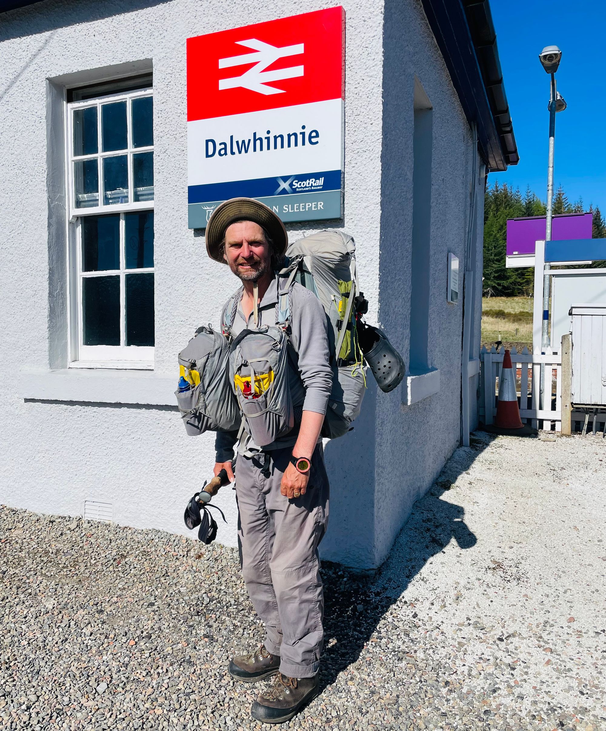
It was pretty hot, and by the time I reached Dalwhinnie I was ready for an ice-cream and a cold drink from the garage, and then more sustenance from the Apiary Cafe before checking into the excellent Dalwhinnie Old School Hostel where I'd booked a room and my wife was arriving by train bringing supplies.
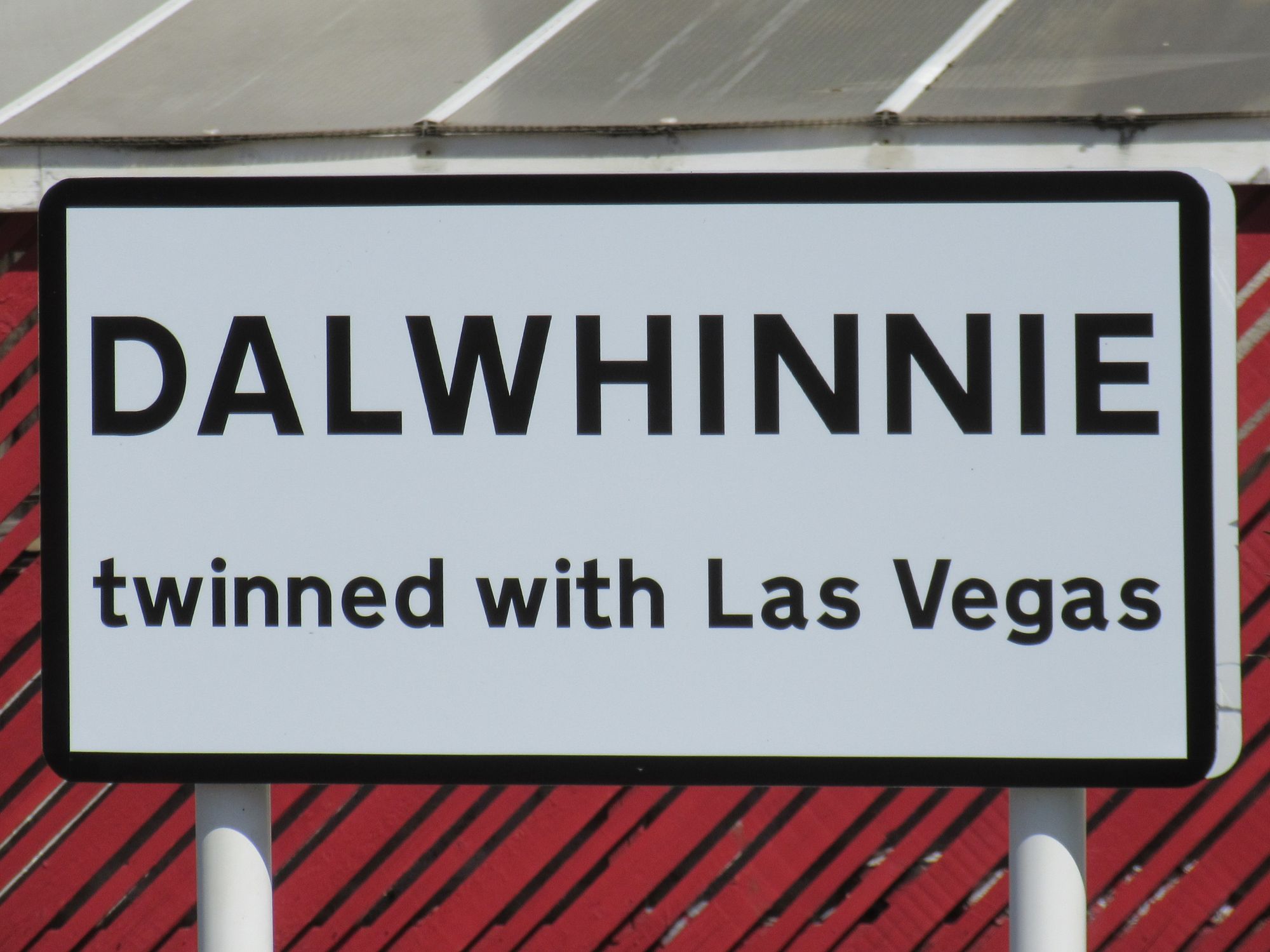
Dalwhinnie!
There were several other TGOCers in residence, including the chap I'd started with in Acharacle. Most of them headed off to take advantage of the Apiary's late opening for Challengers (normally both of Dalwhinnie's eateries - the Apiary and the Deerstalker - close too early for an evening meal) but my wife had bought up abundant supplies and we made good use of the hostel kitchen and it was a nice change not be eating backpacking food.
Day 8
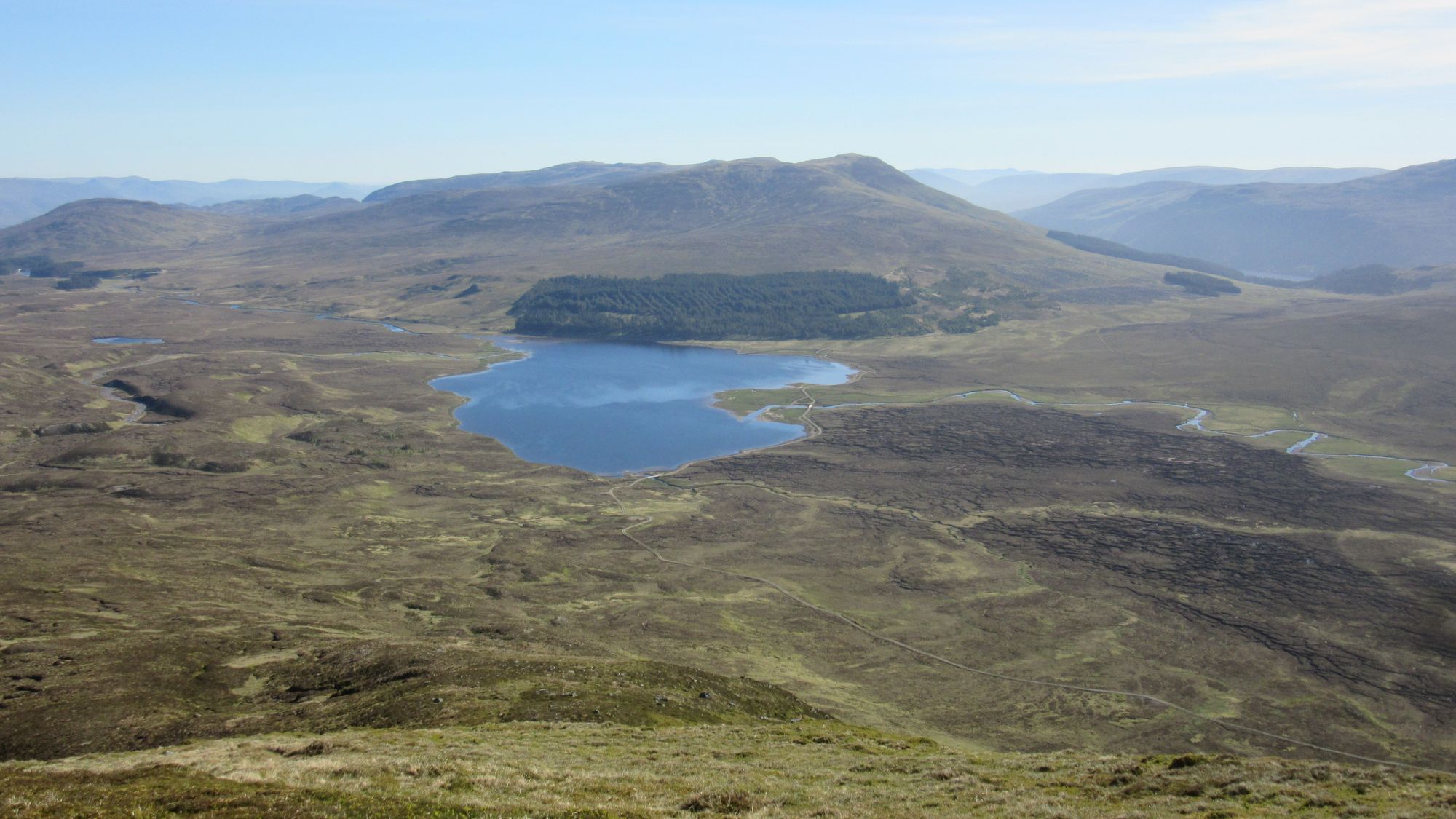
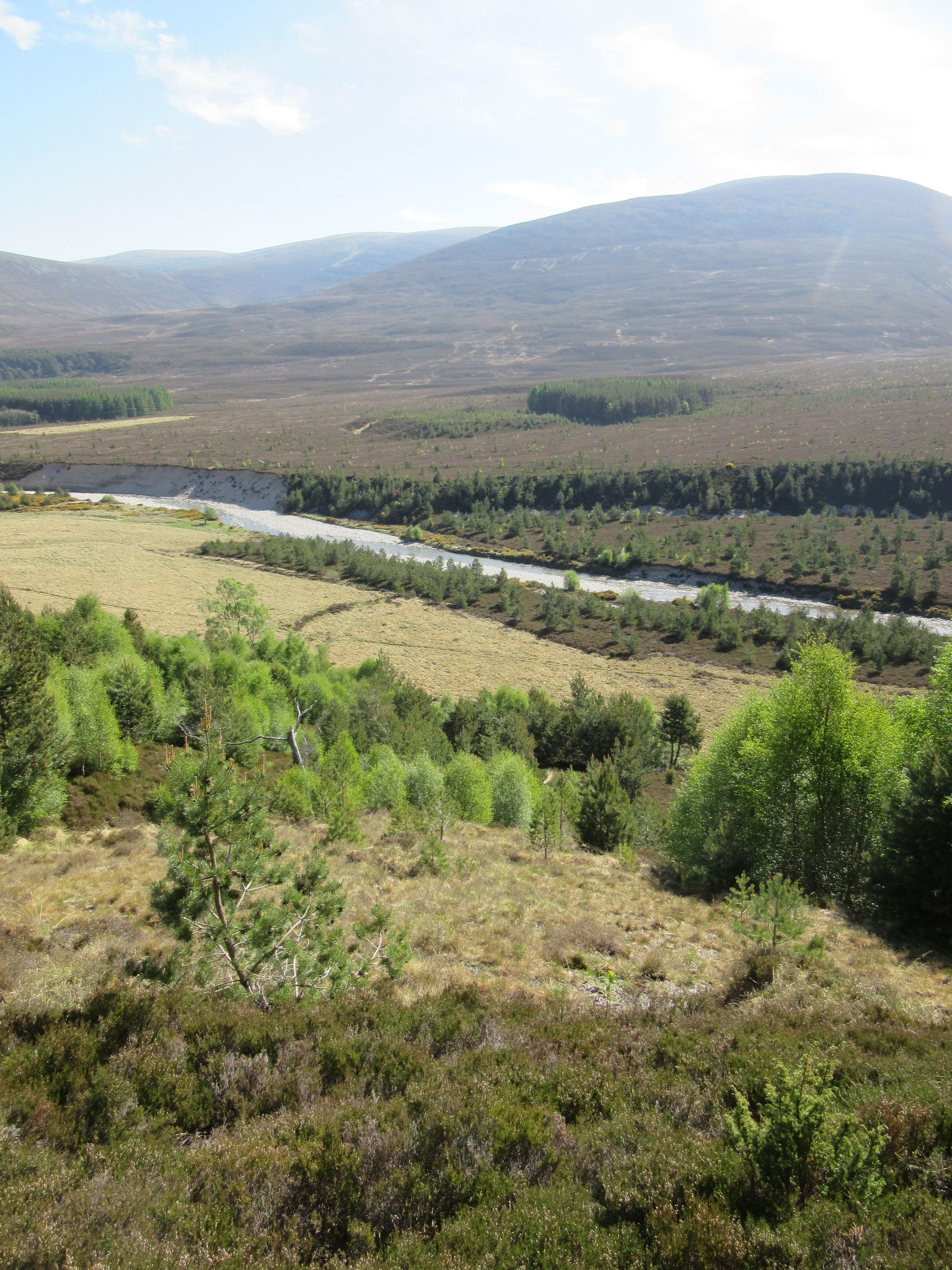
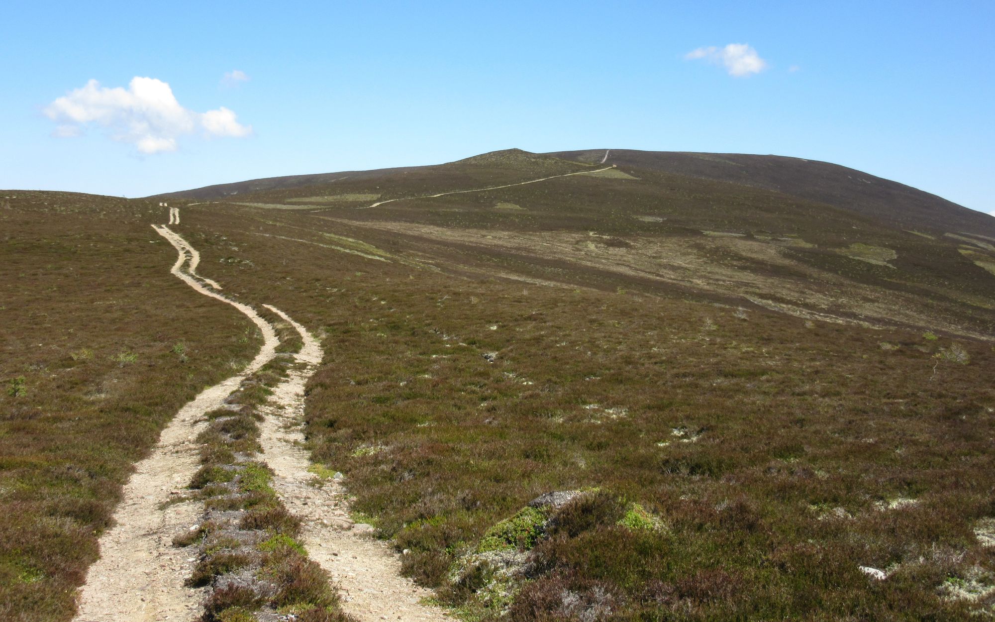
Dalwhinnie - bridge over River Truim at S end of town - track NE besides Aqueduct and under A9 - track past Loch Cuaich - leave track to follow Feith na Braclaich - bealach S of Clach-mheall Dubh - River Tromie neart Bhran Cottage - S besides River Tromie to find a crossing point, worst case dam at N end of Loch an t-Seilich - N on track to cross bridge over Allt Bhran at NN763902 - path ESE to confluence of Allt na Cuilce and Allt Coire Bhran, S of forest SW of Carn Dearg - N then E on track on S flank of Carn Dearg - Carn Dearg Mor (857m, C).
I saw my wife off on the train back south around 10ish and made a late start on the next leg eastwards, following tracks past the various hydro installations and Loch Cuaich and then onto a rough path or sheep track that soon faded away. One deer fence climb was required at a decaying gate secured with a rusted padlock. I continued to follow faint traces of an ATV track over rough ground parallel to the Allt na Feinnich. At times it was tempting to escape by slogging up the heather slopes to find a proper track marked on the map as descending from Carn Thomais; if conditions underfoot were wetter I probably would have done.
Heading east from Dalwhinnie.
Eventually I did converge with that track and it led me towards the river crossing at Bhran Cottage. Some years ago there was a bridge here, but it was destroyed one winter; some salvaged metal bridge sections - some quite mangled - are stacked near the building and I had my lunch sitting on them. With no bridge, the choices are a detour south to cross at a dam, adding 4-5km to routes continuing eastwards, or to wade across at the ford. Fortunately with the dry conditions fording it was not particularly difficult, although definitely a boots off (Croc-alikes on) and trousers rolled up above knees affair.
Ford at Bhran Cottage.
After pausing for lunch, a track took me another couple of km eastwards to an isolated house and another bridge. OS mapping shows a path continuing on the north side of the Allt Bhran, and a track on the south side. The track looked dull, dusty, hot and unappealing, so I stuck with my planned route using the path (as did another Challenger who's route briefly converged with mine here). It started off well enough, and was clearly once the access to some old decaying grouse butts, but it soon ran into an extensive area of freshly planted forestry (of which there seems to be a lot going on in Glen Tromie) and disappeared.
Should have stayed on that track!
As attempting to follow the contouring line of the path marked on the map became increasingly hard work I gave up and floundered my way down to the banks of the Allt Bhran and was gratified to find a hint of a path there outside the planted area. Although squeezed against the hillside by river meanders in a few places, that eventually took me to where I rejoined the track coming back across from the other side of the river. I've no idea what became of the other Challenger, but I did subsequently learn I wasn't the only one who'd had a nightmare here. Stick with the track south of the river if you head this way!
Anticipating a later start and a shorter day, my plan had originally been to camp here by the river but with the excellent weather it seemed a shame not to press on for another summit camp. I headed on a bit further via tracks, grabbed some water at a burn crossing and after passing more fresh forest planting followed ATV tracks to the summit of Carn Dearg Mor.
On the way to Carn Dearg Mor.
It was the windiest camp yet and the ground was not particularly cooperative for securing tent pegs (everywhere seemed to be either too mossy or too rocky) so I resorted to piling rocks on top of some poor stake placements.
Carn Dearg Mor summit camp
Day 9
Carn Dearg Mor - Carn Dearg Beag - path NNE - descend NE across Coire Chrion-alltain - Glen Feshie - N on track to bridge over River Feshie NN850964 - track NE then E besides Allt Fhearnagan - track to S of Carn Ban Mor - Loch nan Cnapan - flanks of Carn na Criche - Wells of Dee - Braeriach (1296m, M) - Carn na Criche (MT)
The wind had completely dropped off overnight and it was very still in the morning. I continued over Carn Dearg Beag through more newly planted forest to meet tracks above Glen Feshie, from where I needed to get to the bridge which is a choke point for Challengers coming through this area. The easy but long way would have been to stick to a track descending south towards Glenfeshie Lodge and then dogleg back north up along Glen Feshie to the bridge, but a far more direct route descending via Coire Chrion-alltain was too tempting a short-cut to resist. This turned out to be a bit of a bushwhacking nightmare in scrubby woodland and I eventually emerged on the track looking like I'd been dragged through a hedge... which is pretty much what it had been necessary to do to get down. From there I headed north a little more and crossed the Feshie by the bridge; there was no sign of other Challengers, but it was too early for the wave of folks likely to be coming from Newtonmore/Kingussie to have got there yet.
Leaving Carn Dearg Mor via Carn Dearg Beag and then crossing Glen Feshie.
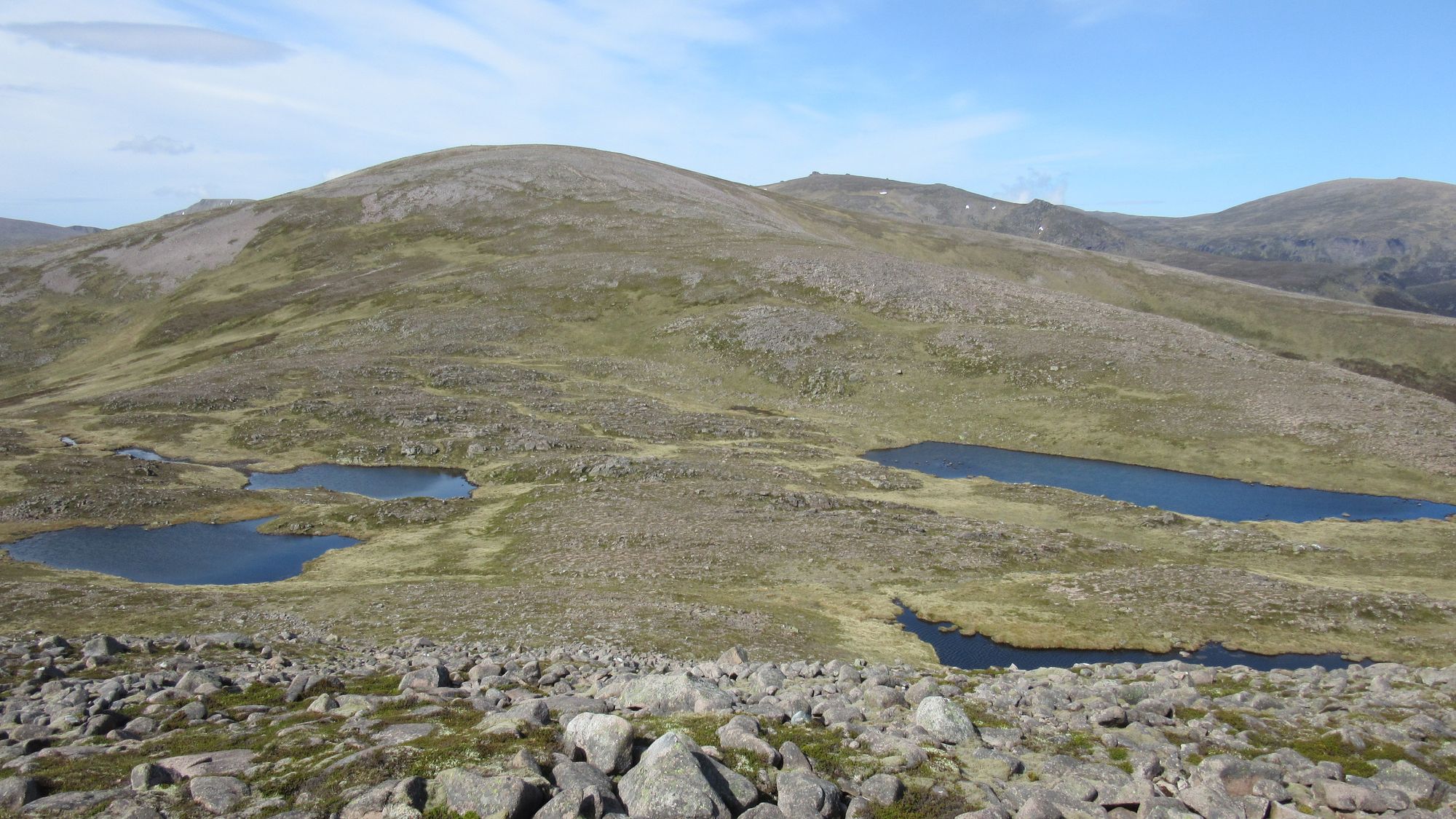
I continued eastwards, climbing out of Glen Feshie on paths initially through the woods then onto the open high ground south of Sgur Gaoith (already in the bag for my second Munro round, so I felt no need to make a detour to it; and in any case I was far more focused on the five Cairngorm 4000fters which would be soon be reached). A few km further east I reached the loch-strewn area around Loch nan Cnapan.
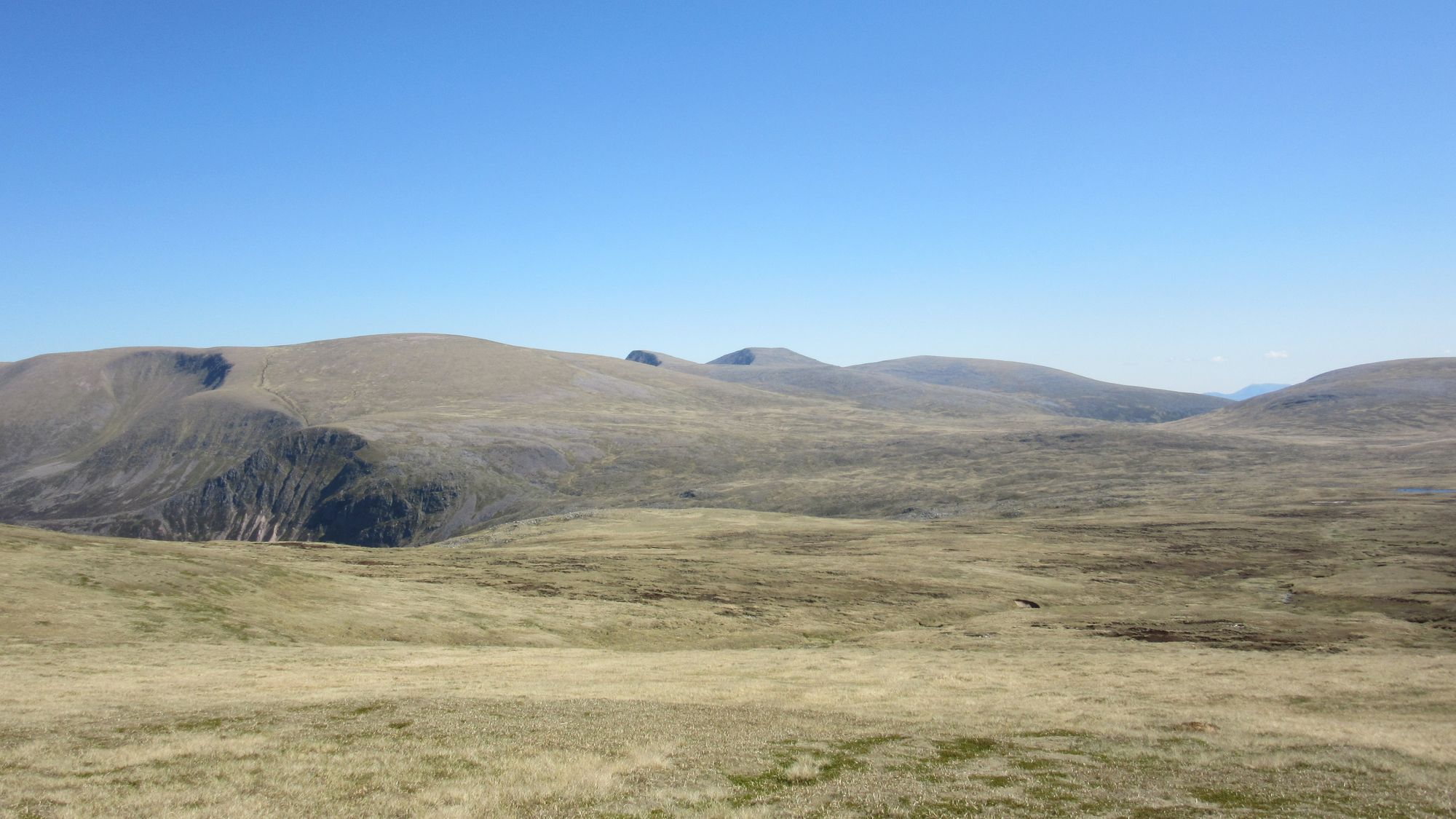
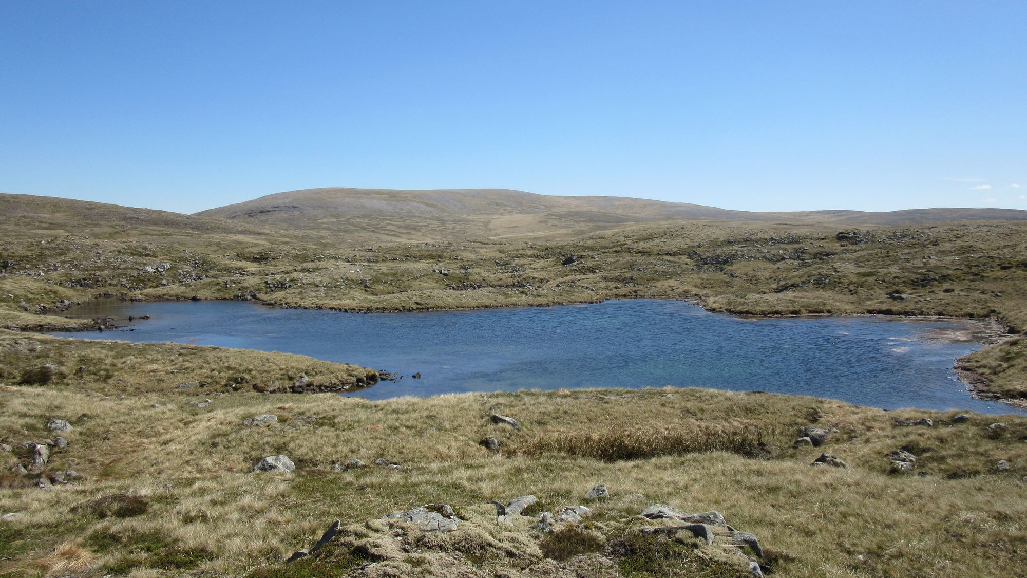
Climbing onto and crossing the plateau.
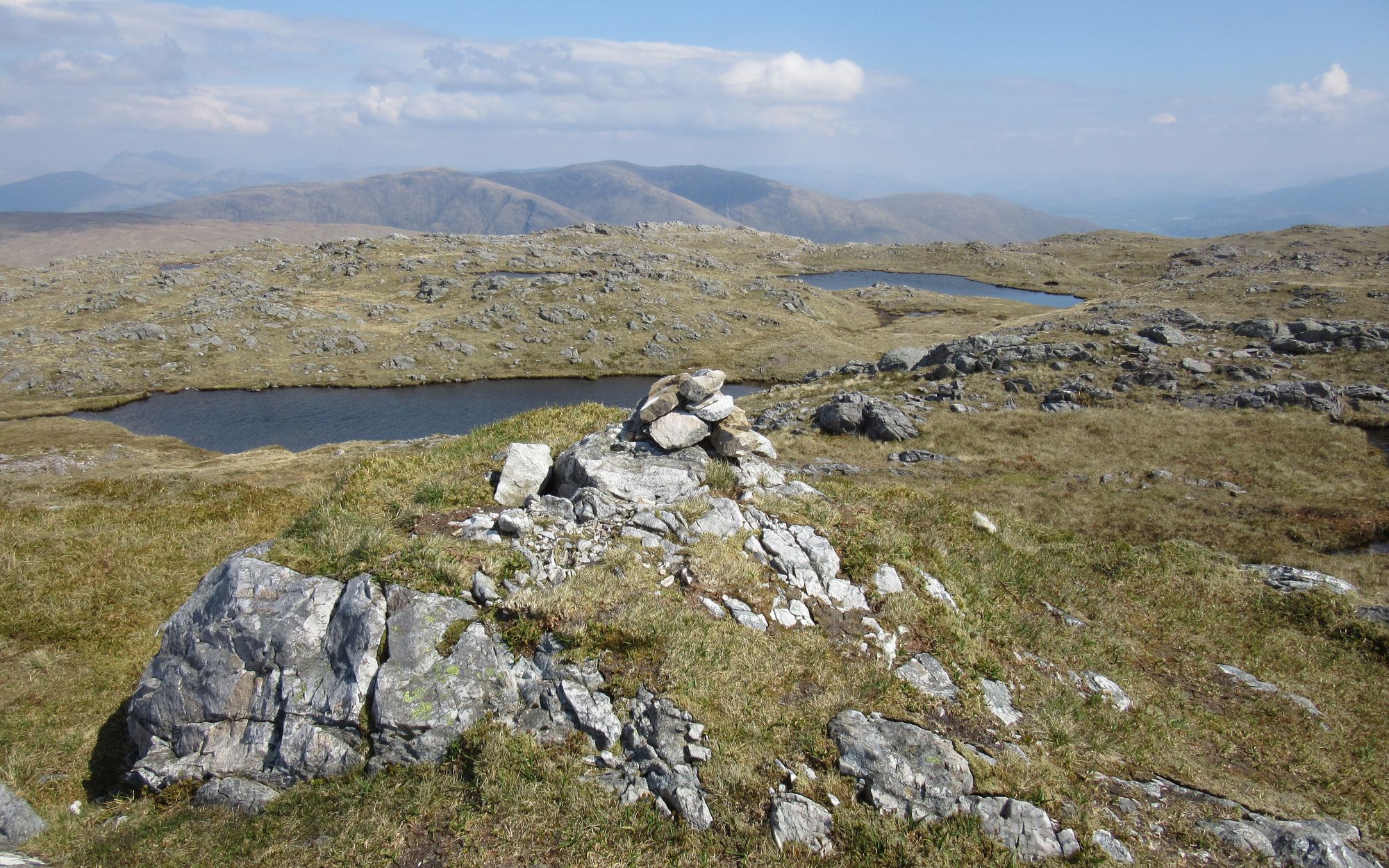
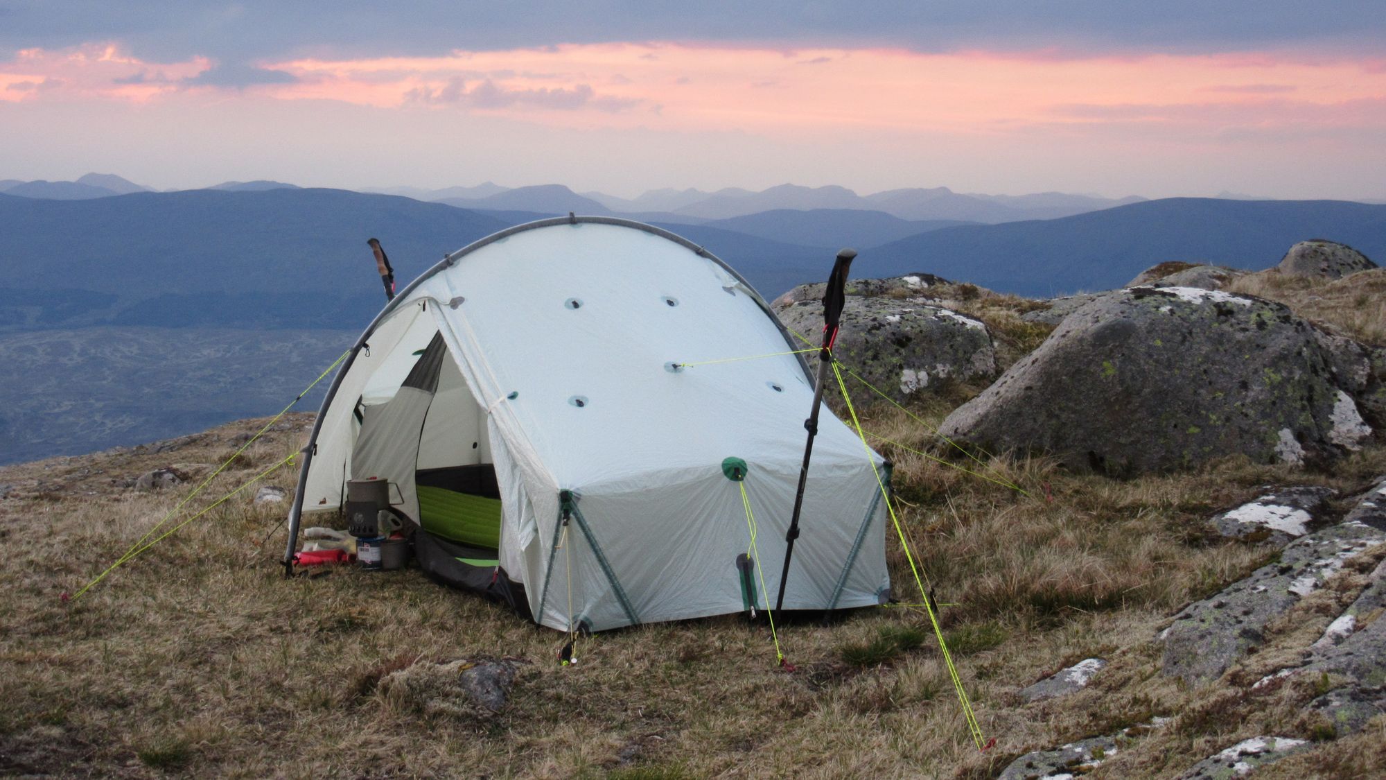
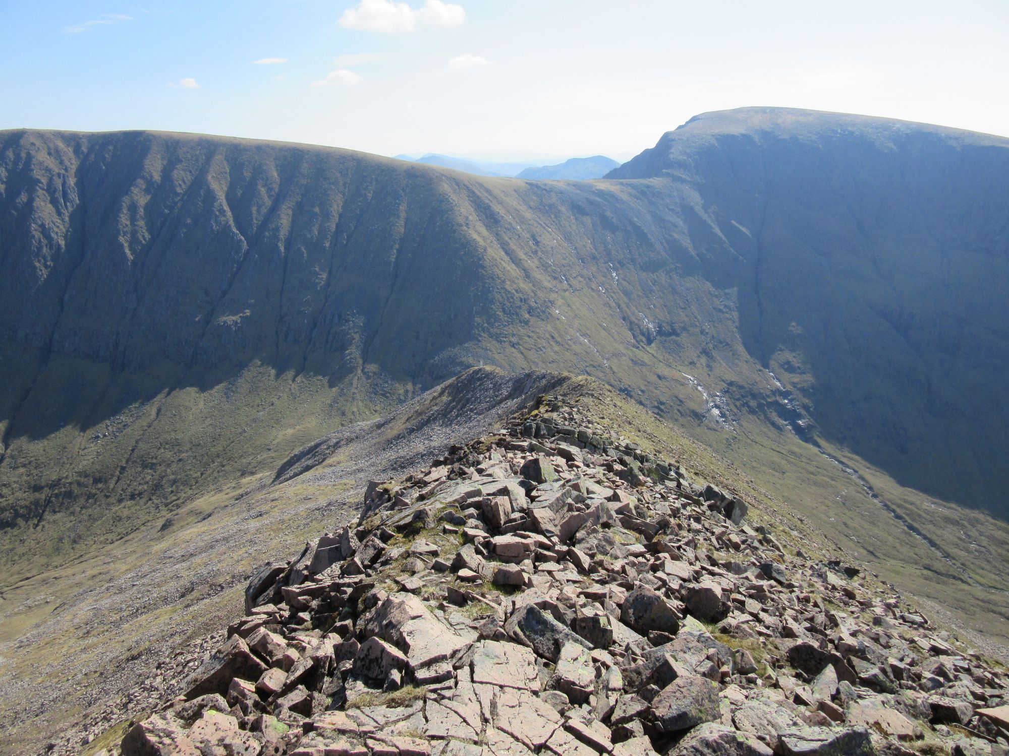
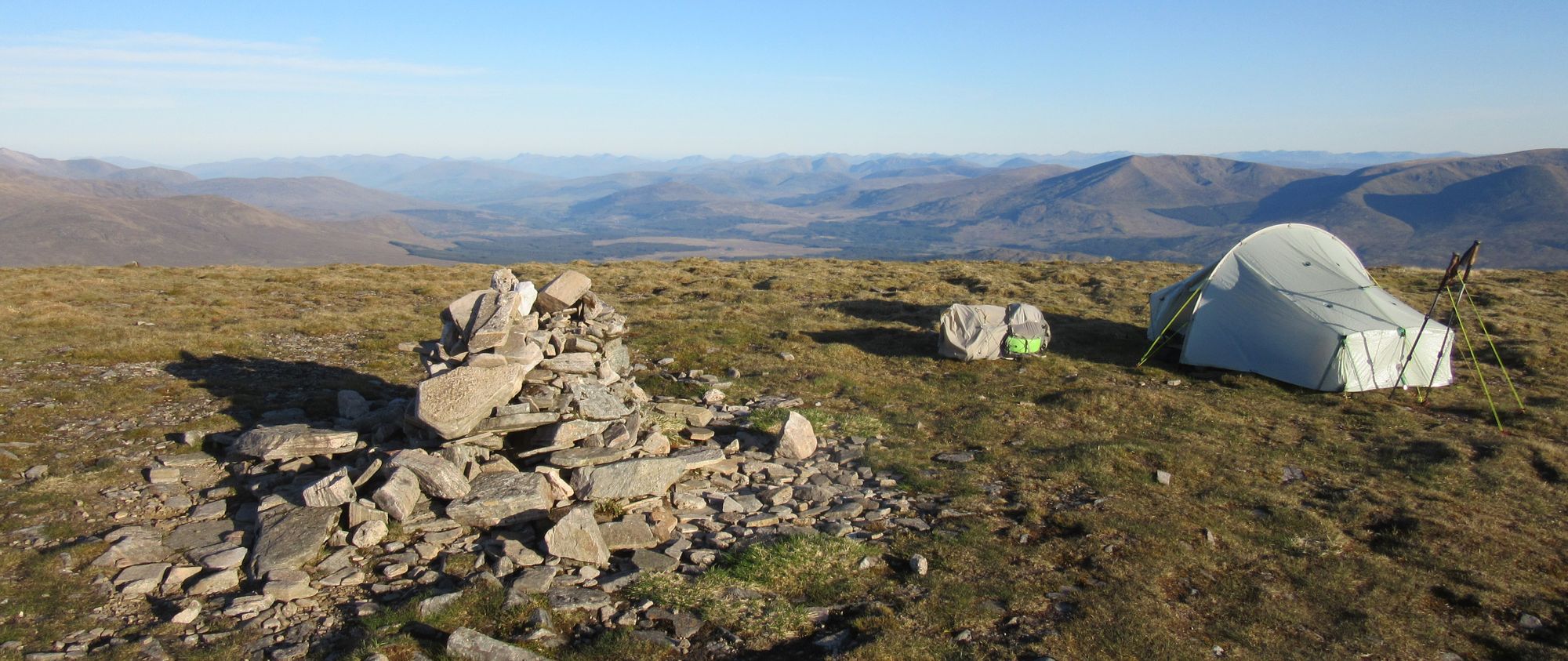
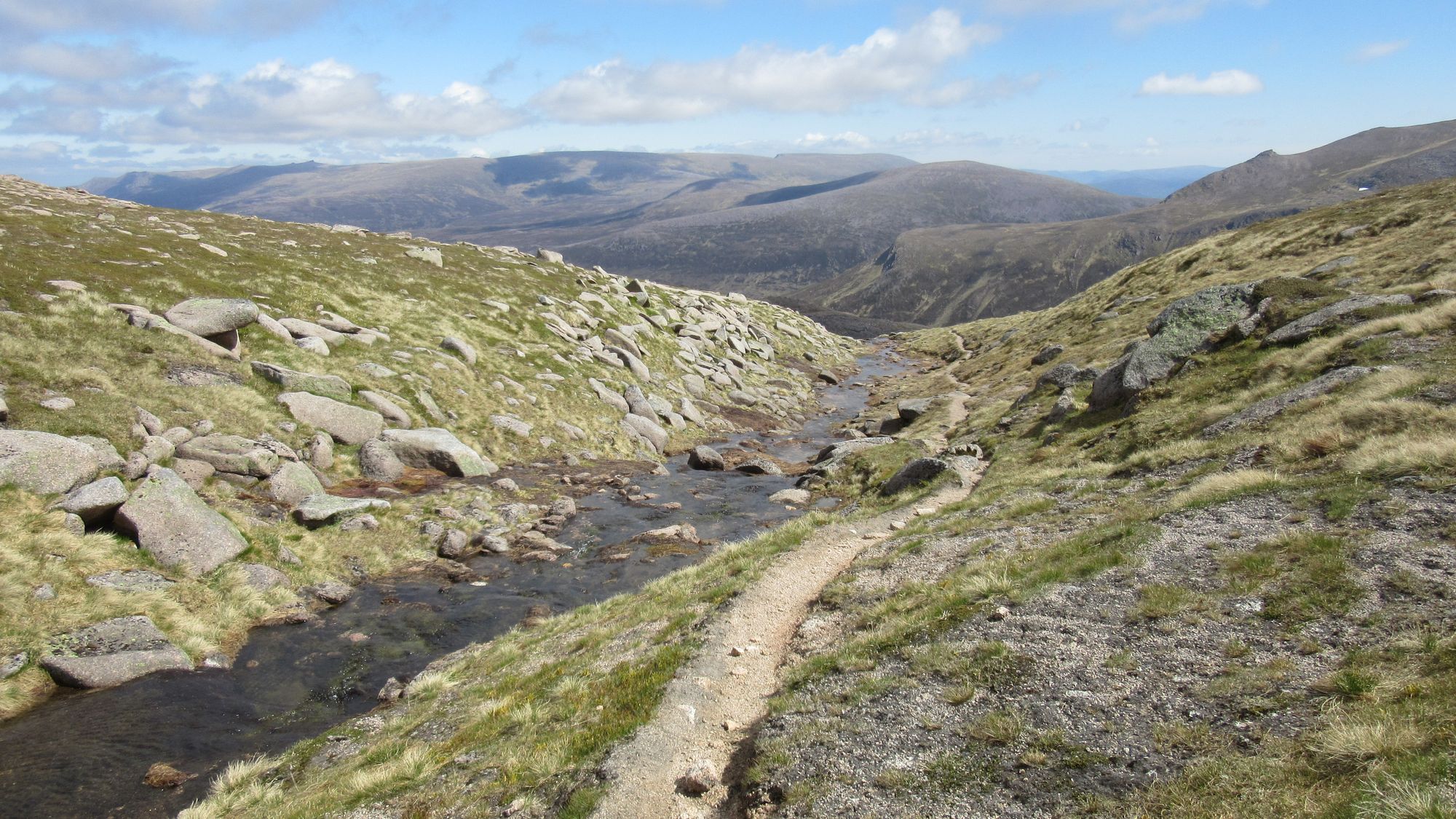
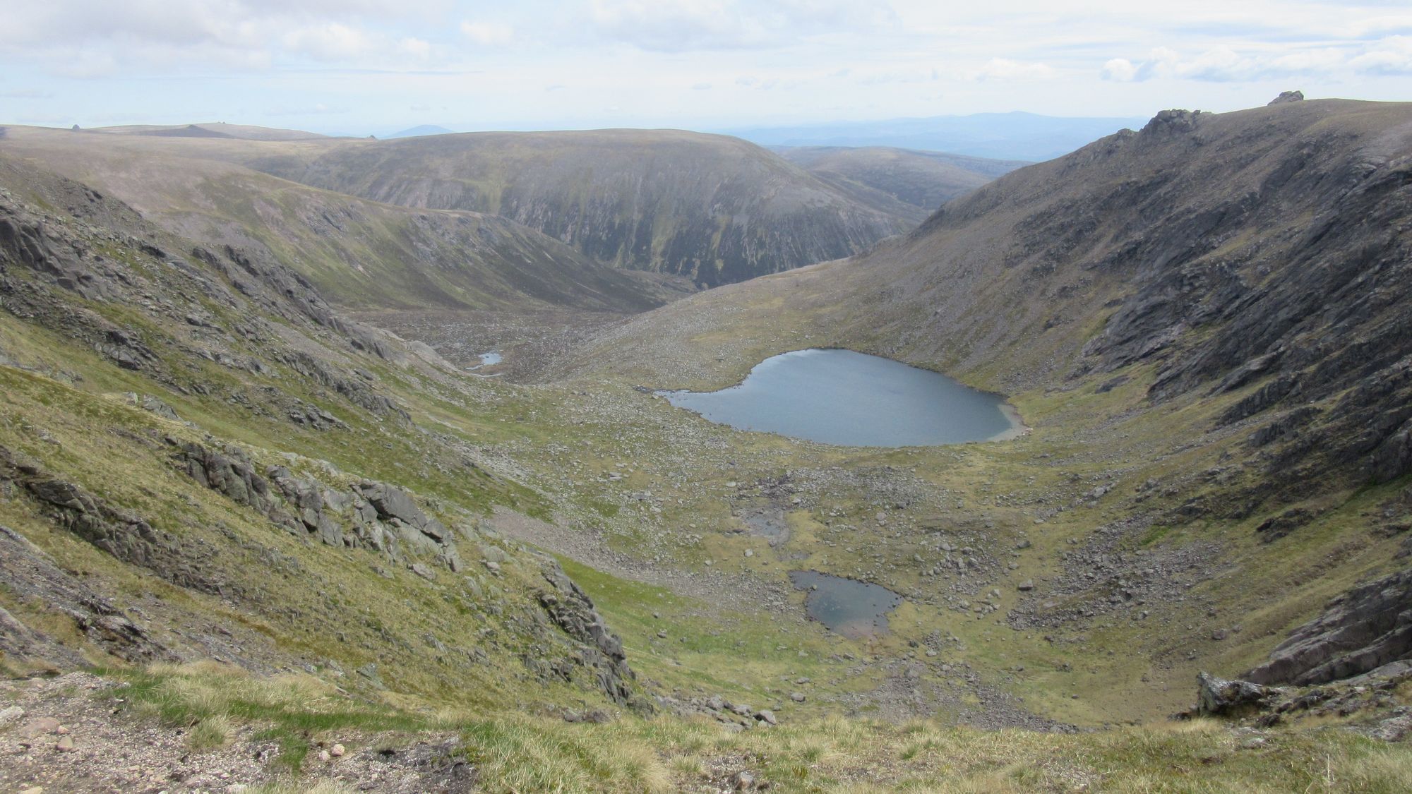
My original submitted route plan had specified a camp at Loch nan Cnapan, followed next day by a traverse of the hills west of the Lairig Ghru from south to north, a descent by the "Duke's Path" from Braeriach (which I had done before) and an ascent of Ben Macdui by a spur parallel to the Allt a'Choire Mhoir (apparently possible, but terrain new to me). However having gotten further ahead yesterday than planned, it was still early and I was keen to make a dent in what was going to be a Big Day tomorrow. So instead I decided to change plans and do these hills north to south and cross to Macdui using the descent to Corrour bothy and then the Taylors' Burn path up, both of them familiar ground, and this would also mean I could draw water for a high camp from the Wells of Dee rather than have to carry it up. Accordingly, I headed northwards to climb the slopes of Carn na Criche bypassing its summit (for now) to visit the Wells and grab some water before continuing to Braeriach.
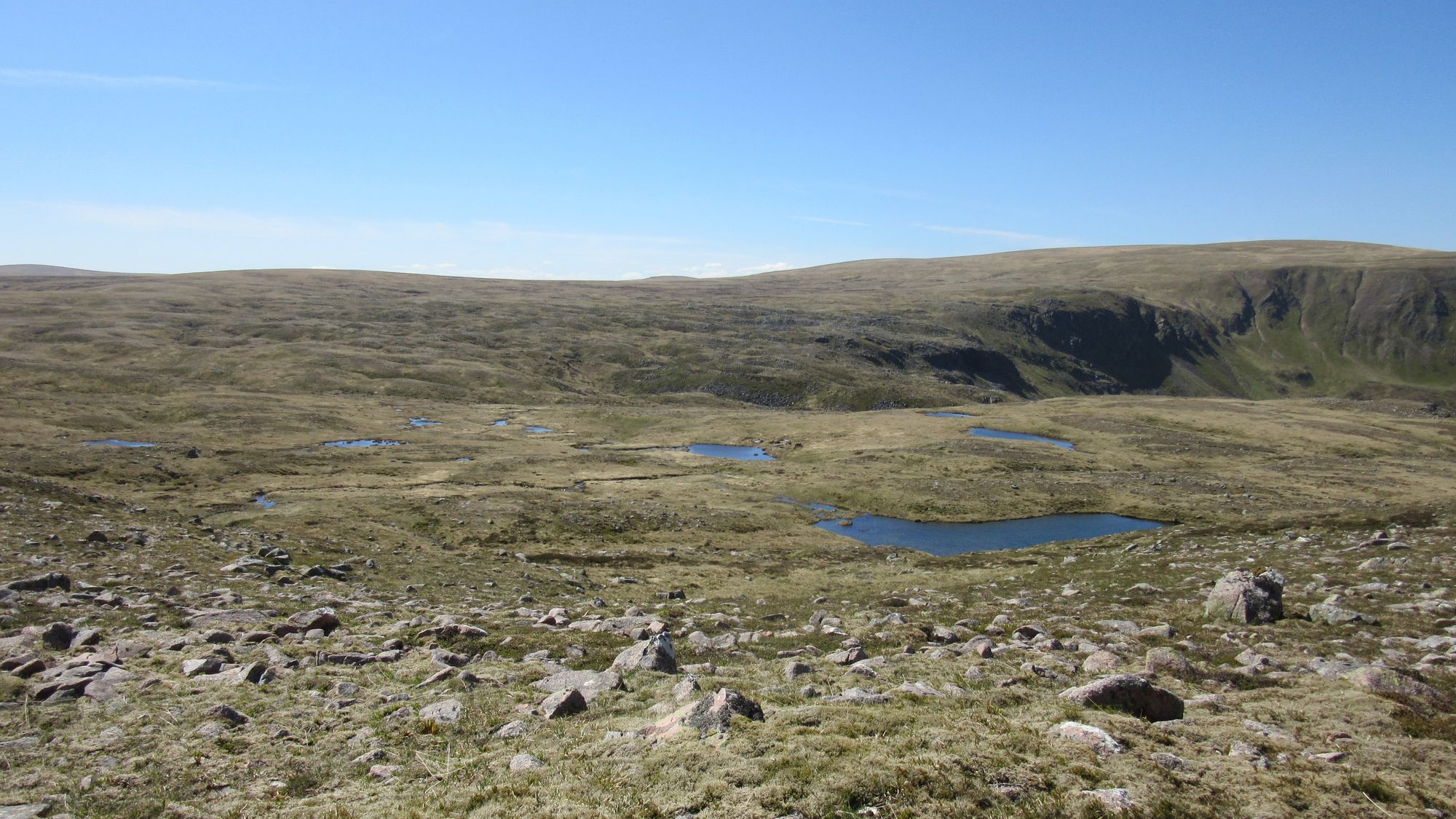
Looking back from the flanks of Carn na Criche and passing the Wells of Dee.
Braeriach was quite busy with people (including a guided party doing the Cairngorm 4000ers over two days and some wild swimming folks who's objective seemed to be to tick off swims in high and remote lochs).
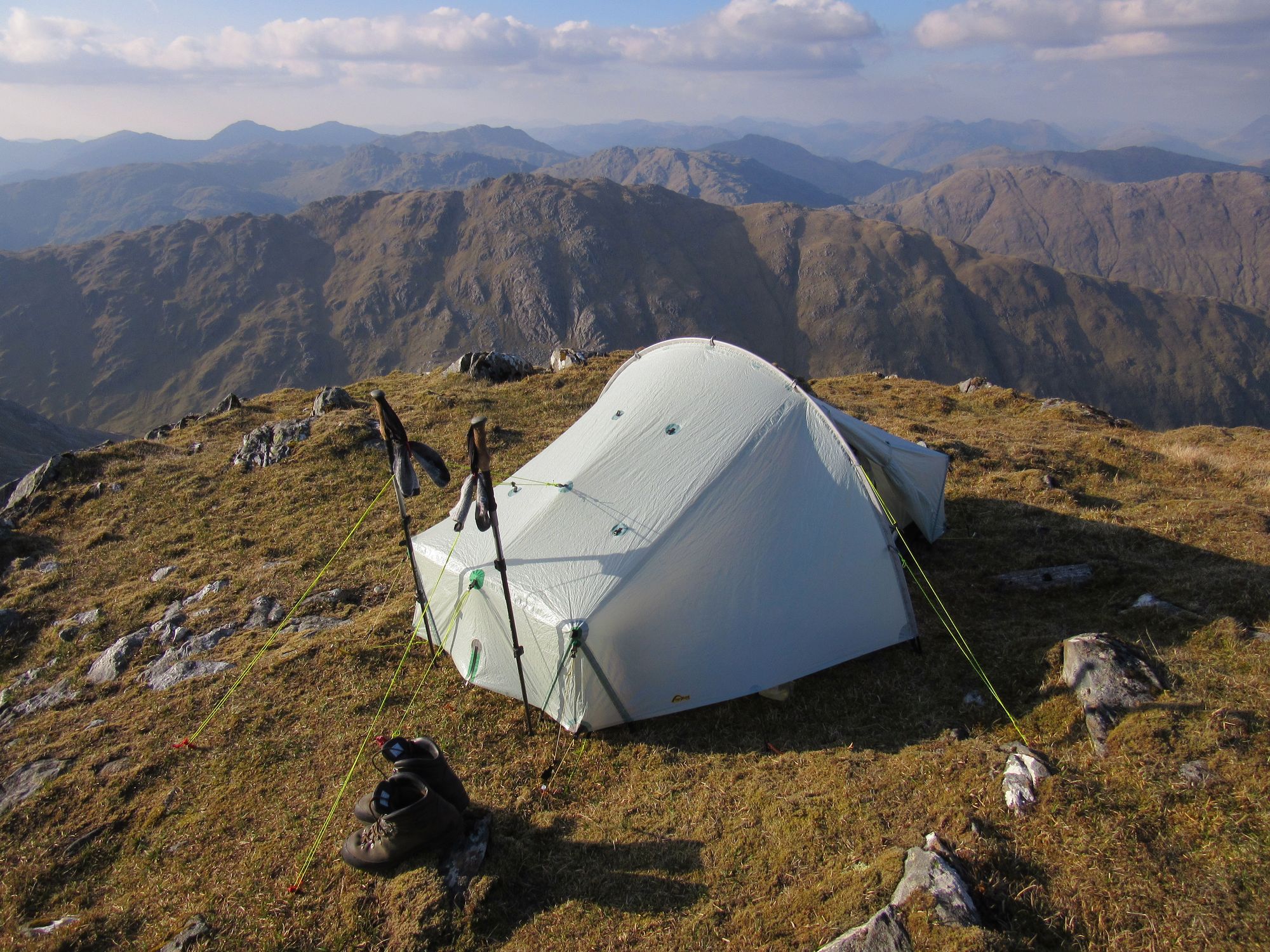
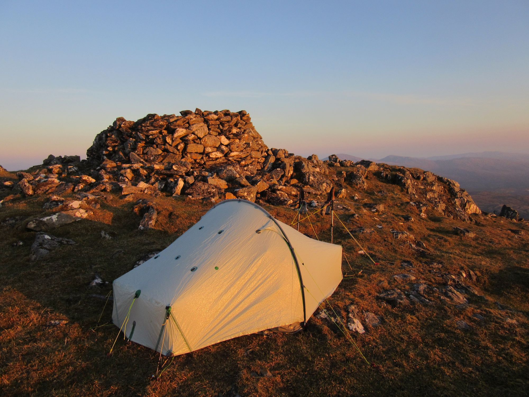
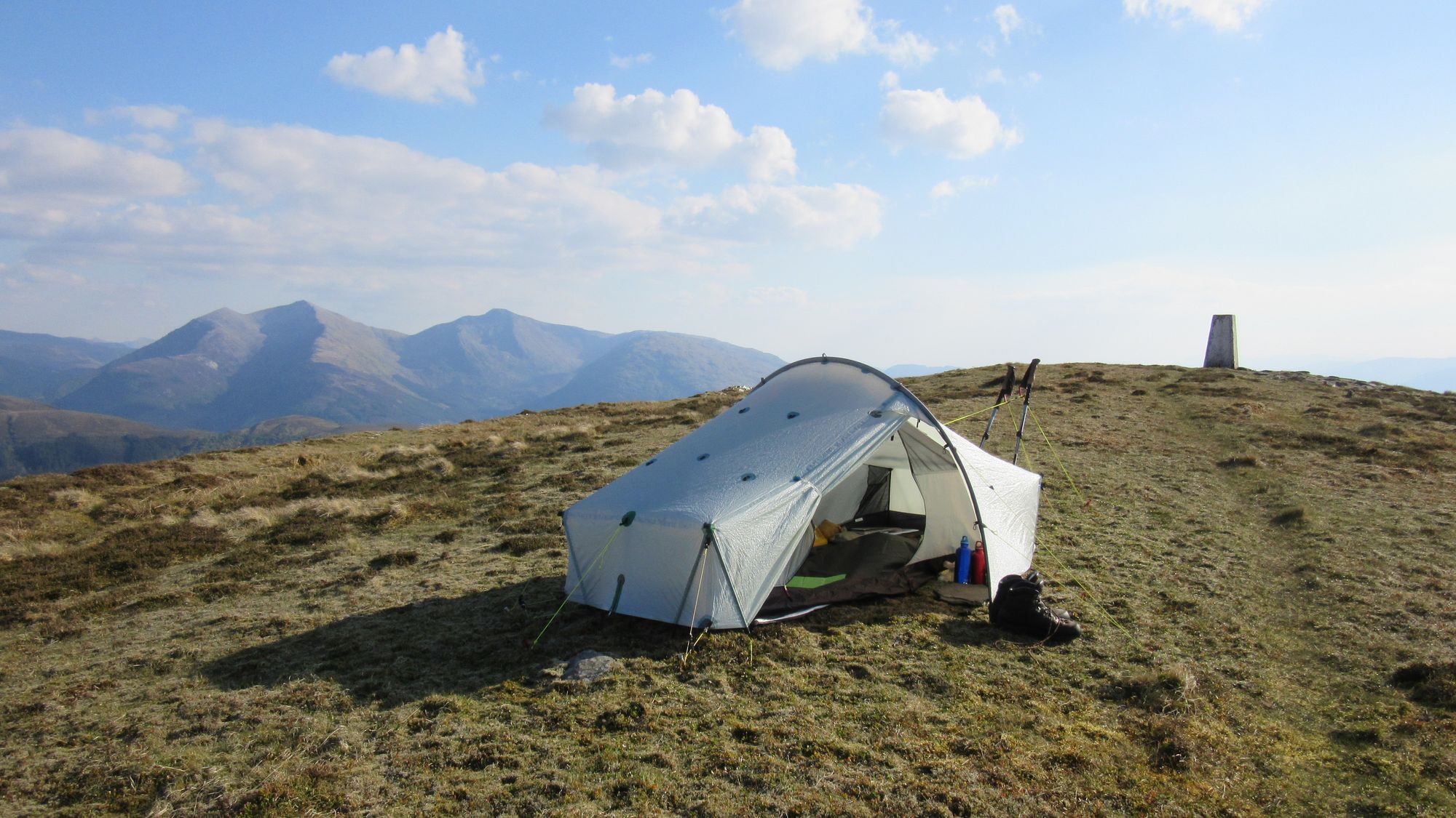
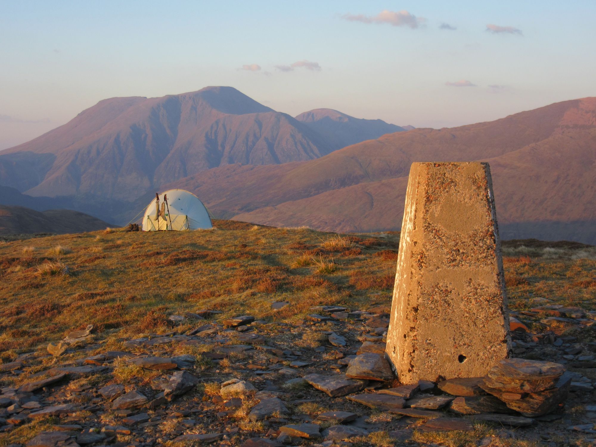
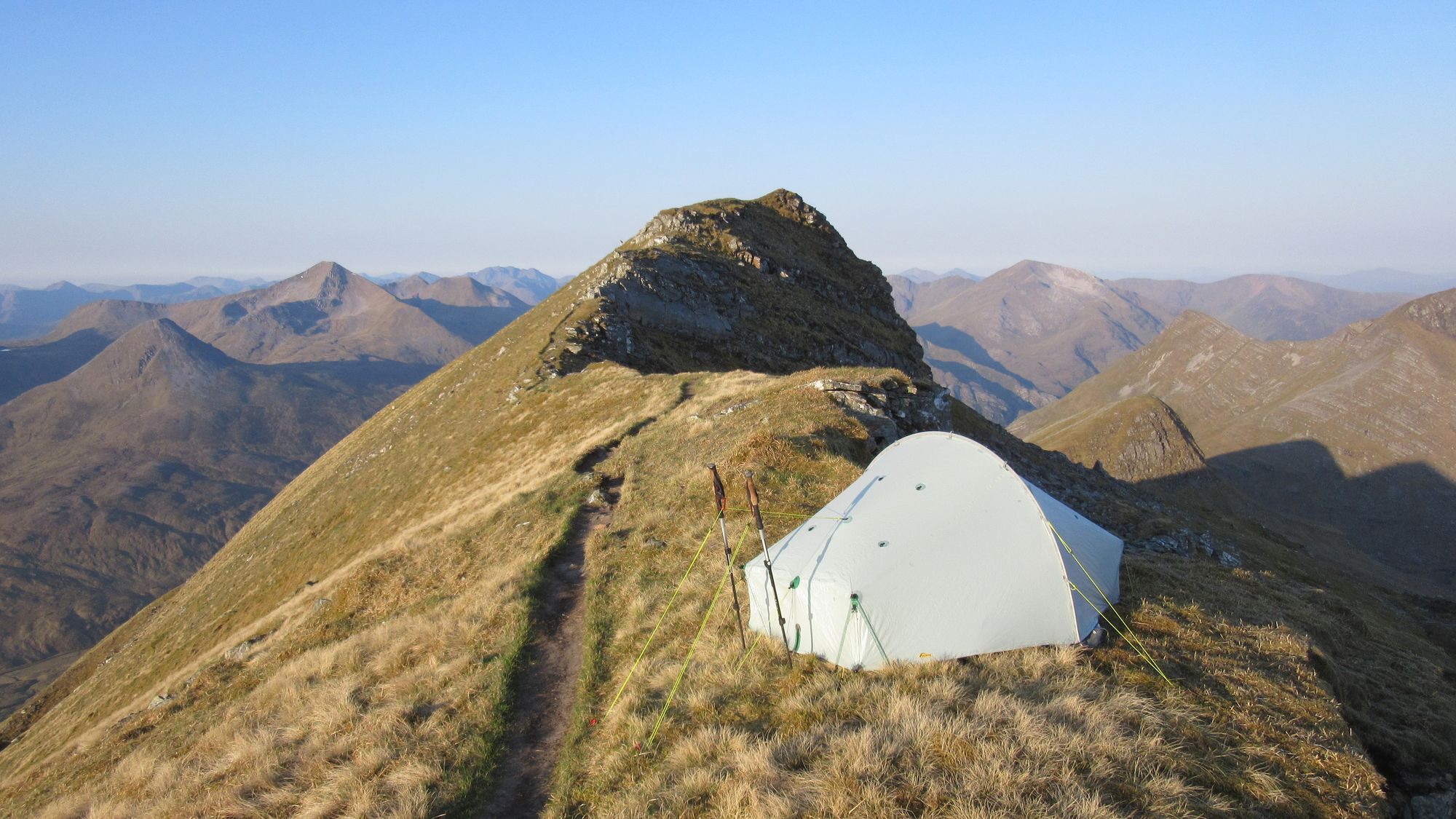
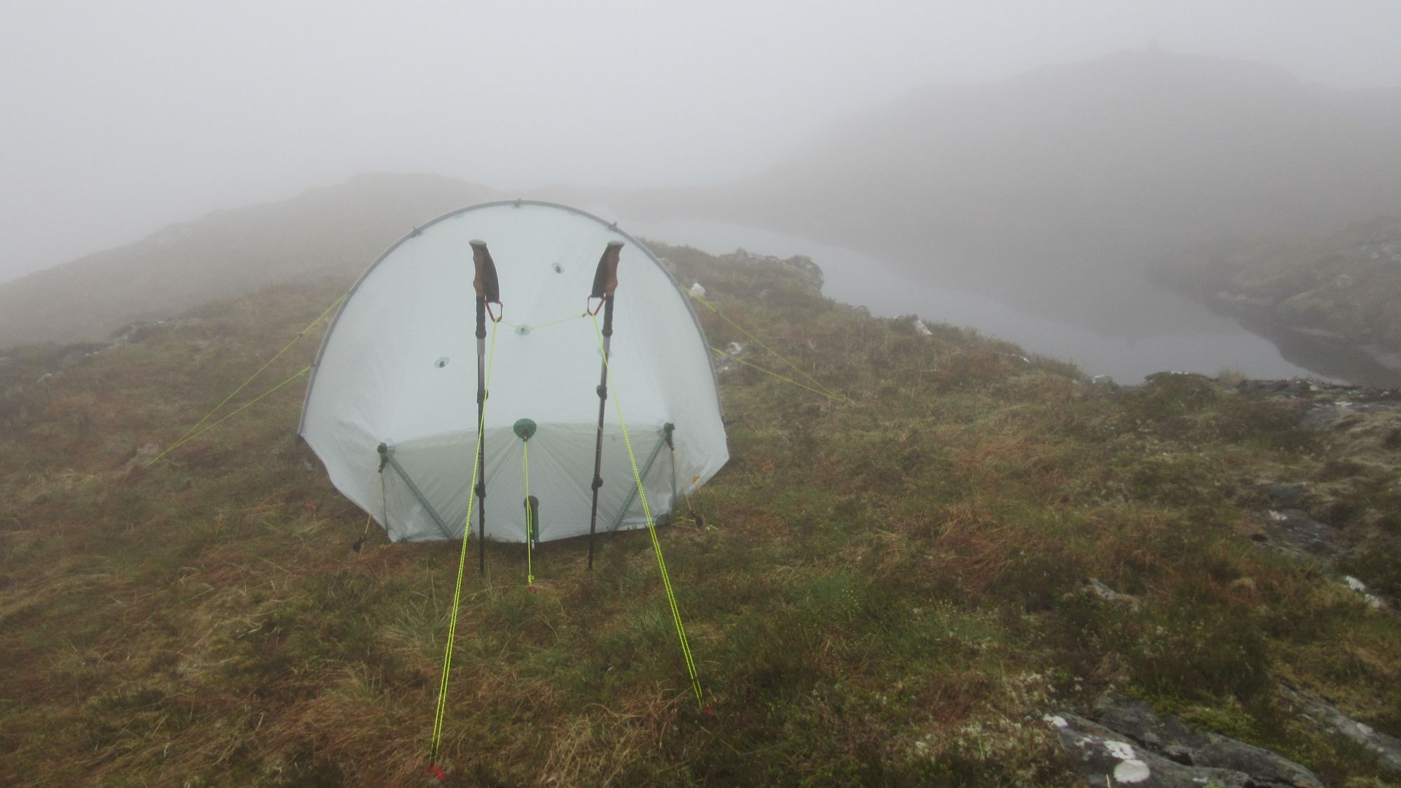
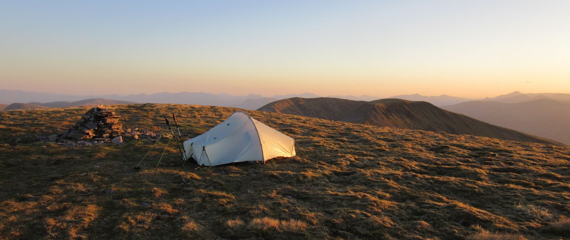
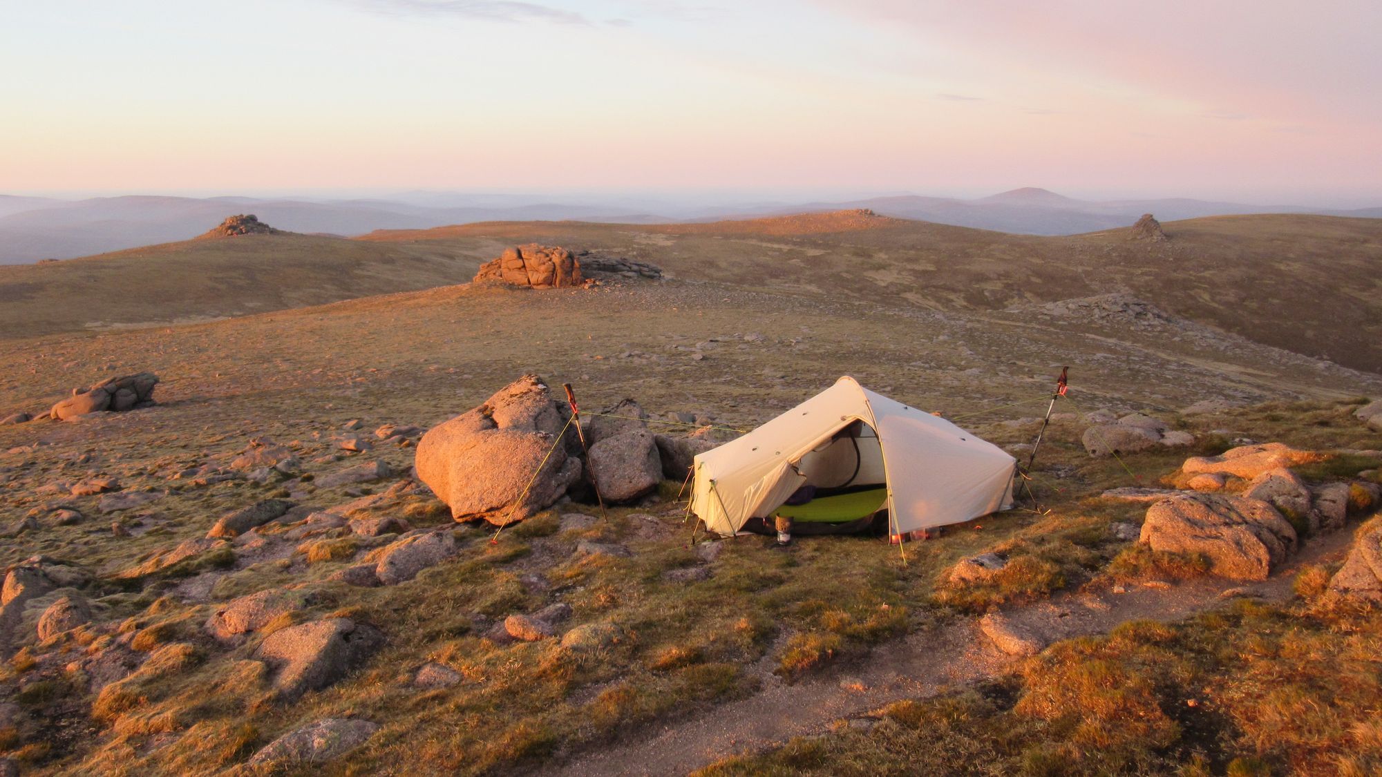
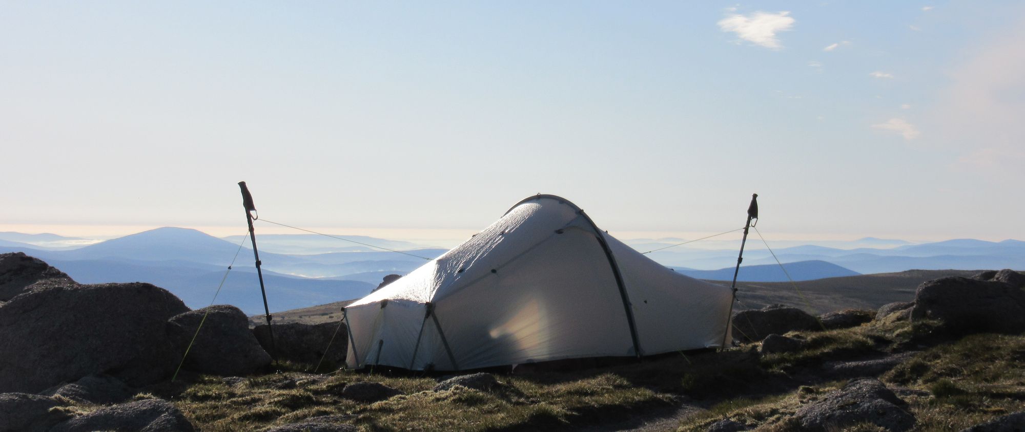
While I have summit-camped Braeriach before, good pitches for a non-freestanding tent are in short supply and it was very windy; I decided to continue on a bit further in the hope I'd find something better or the wind would drop (as it often does as the sun gets lower). Heading south now, over on Carn na Criche's broad summit area I easily found a good pitch and although it was still windy it was nothing my tent couldn't handle.
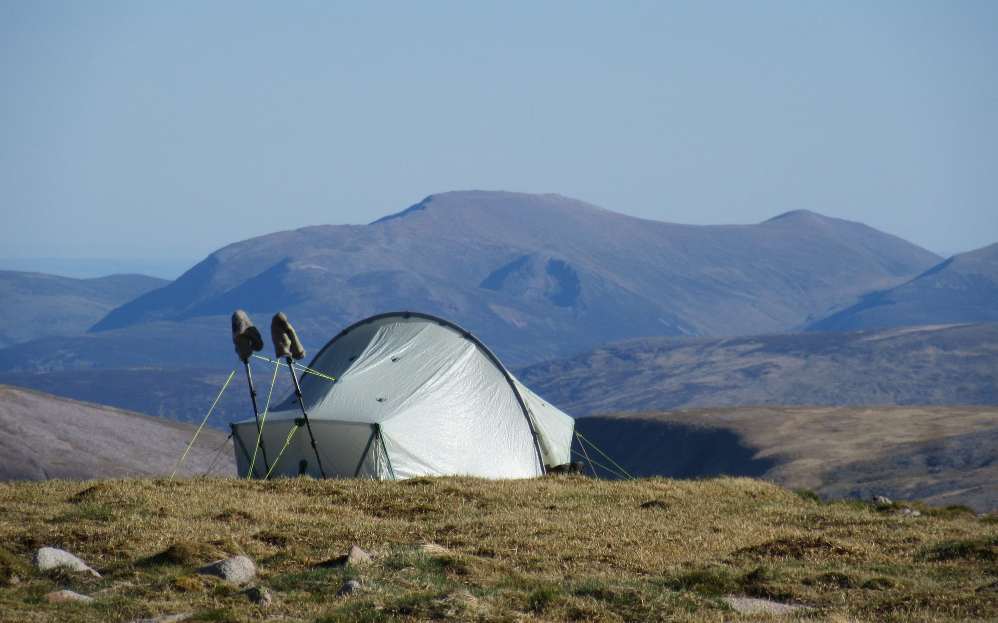
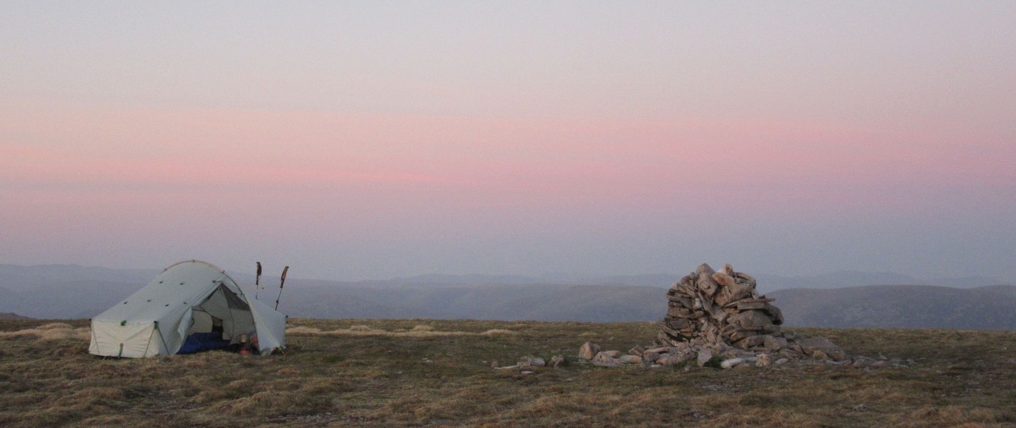
Carn na Criche summit camp scenes.
Later another Challenger passed by, but they went off towards the Wells of Dee in search of more sheltered ground.
Day 10
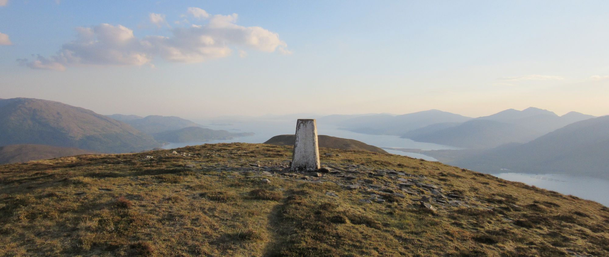
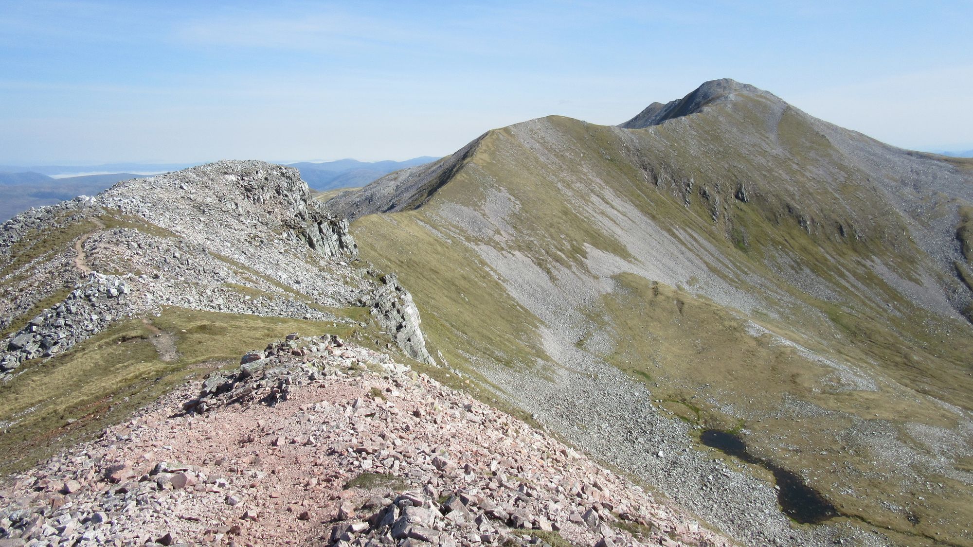
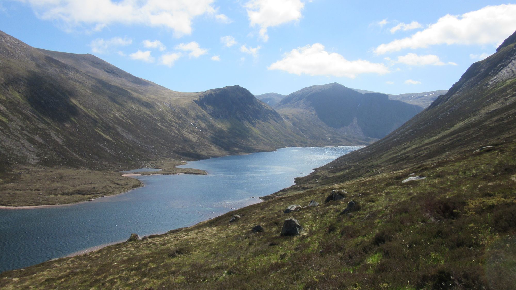
Carn na Criche (MT) - Sgor an Lochan Uaine (1258m, M) - Cairn Toul (1291m, M) - Coire Odhar - descend to cross Lairig Ghru at Corrour bothy - ascend via "Taylors' Burn" route - Ben Macdui (1309m, M) - path NNW to Lochan Buidhe - path ENE to Stob Coire an t-Sneachda (MT) - NE to Cairn Gorm (1245m, M) - Cnap Coire na Spreidhe (MT) - path E then SSE to The Saddle - Loch A'an outflow.
The wind seemed to have increased overnight and shifted; I found one corner peg had ripped out in the morning but the gritty loose Cairngorm soil does not grip particularly securely. Should have piled some rocks on the pegs!
I was on the move by six. This was the only time on the trip I wore my waterproof jacket, and it was as an extra layer of wind-proofing against the gale rather than for rain protection. The next two 4000fter Munros were swiftly traversed - I did not need to include an out-and-back to The Devil's Point - and I descended by the path from Coire Odhar down to Corrour bothy.
Over the Munros west of the Lairig Ghru and down past a busy Currour bothy.
The bothy and surroundings seemed to be mobbed with folks, including two guided Cairngorm 4000fters groups (each group going round in an opposite direction; I'd met one party on Braeriach the previous day). From there I headed up the Taylors' Burn route to a blustery Ben Macdui summit, and then north for a relatively sheltered lunch next to Lochan Buidhe.
From Currour bothy over a busy and blustery Ben Macdui summit to Lochan Buidhe.
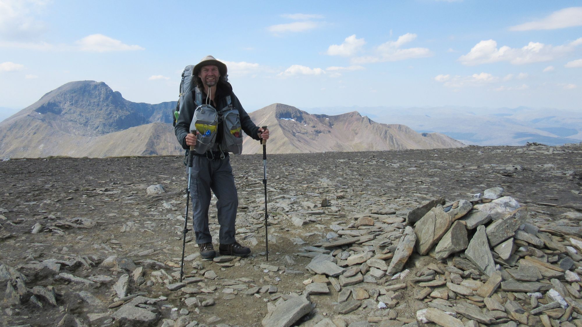
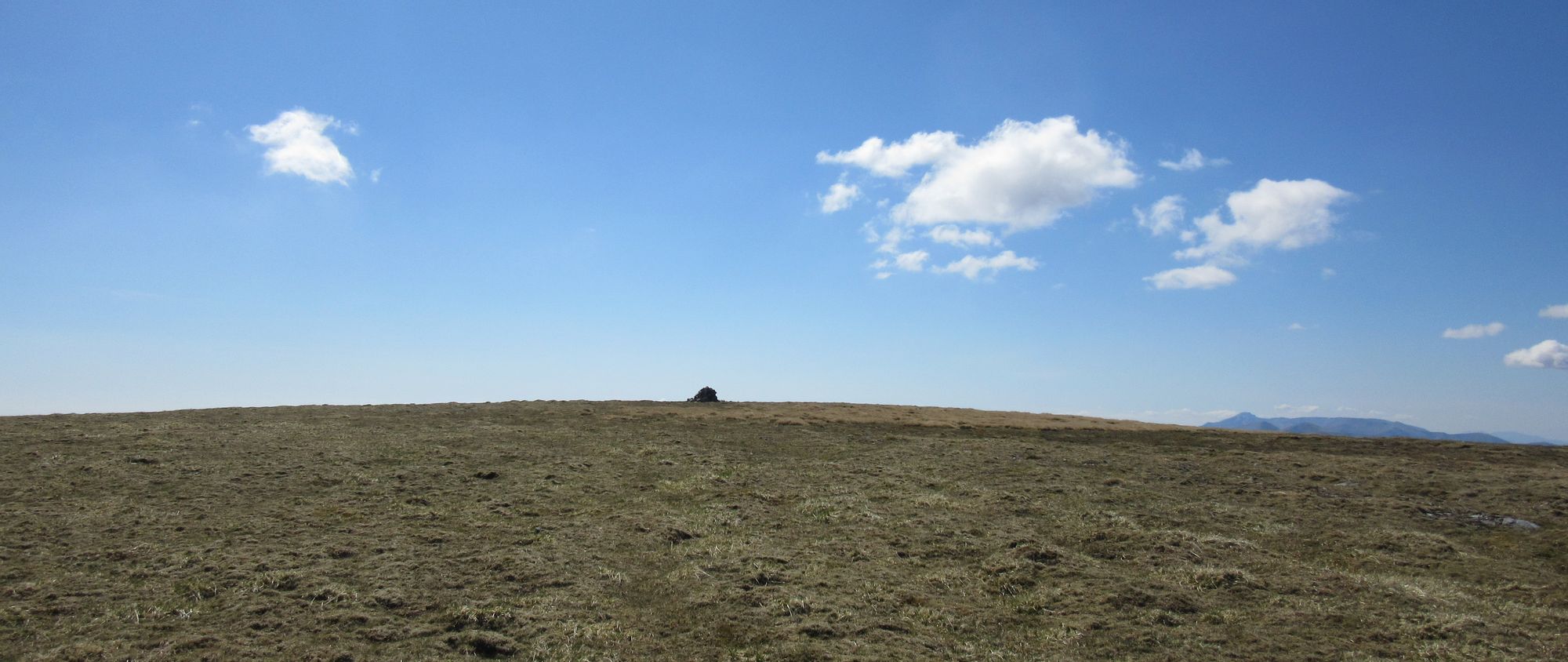
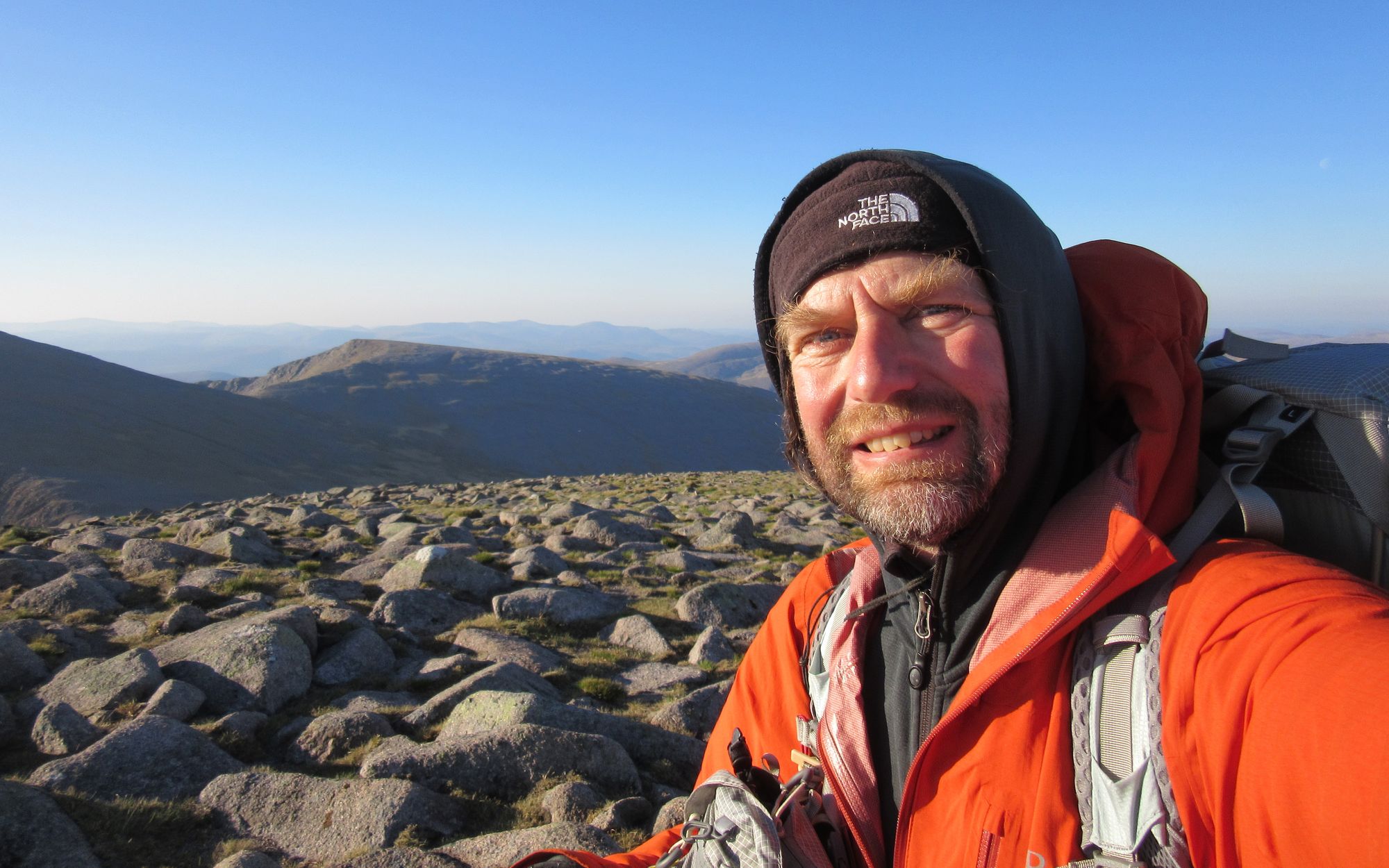
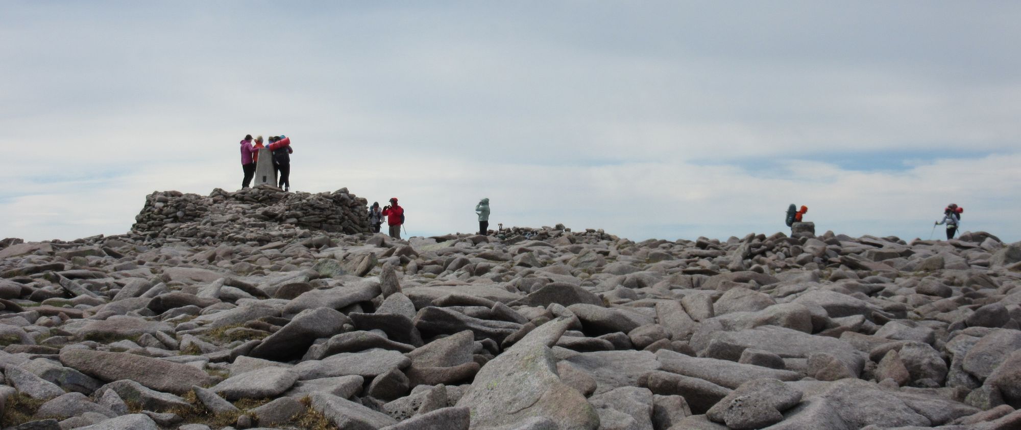
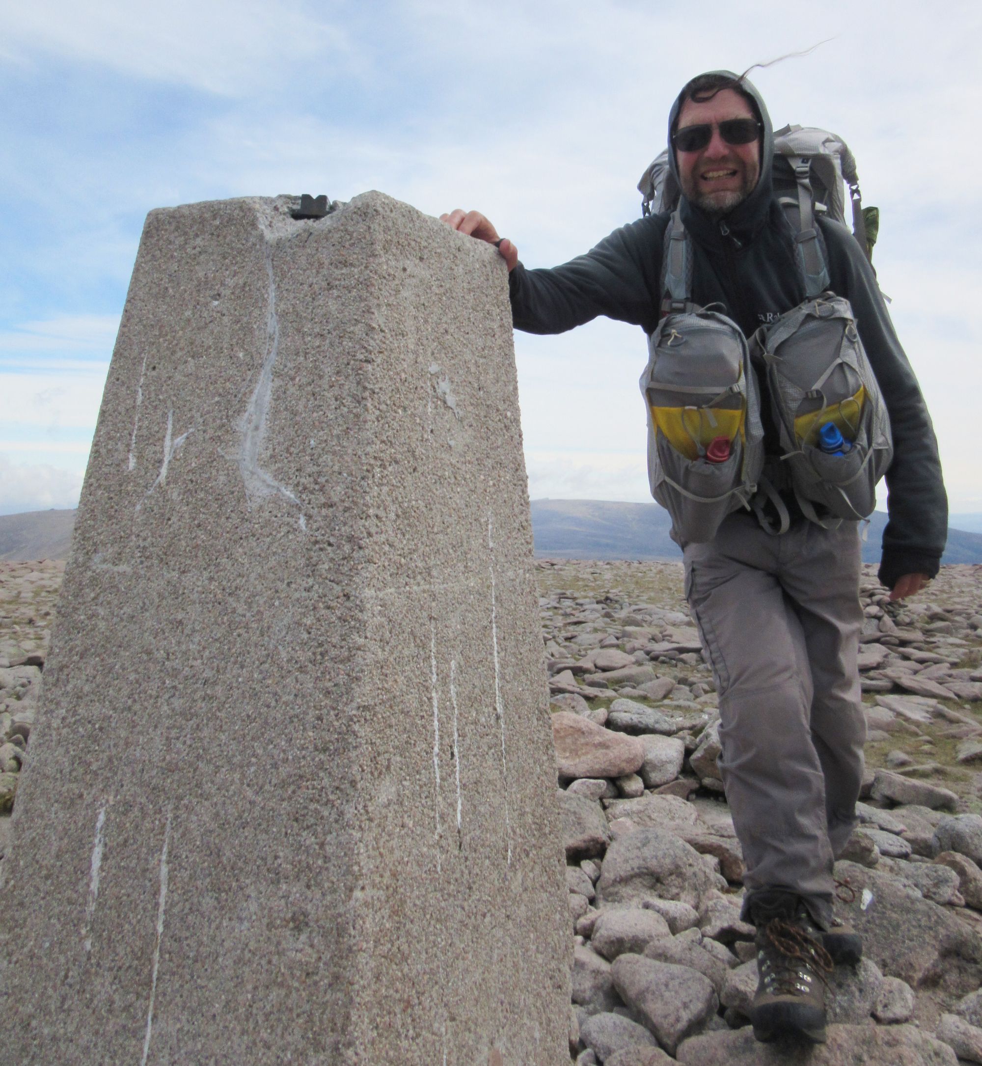
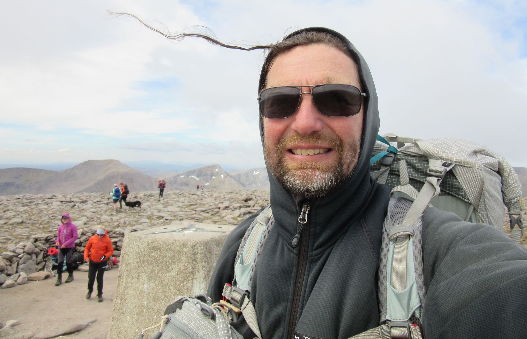
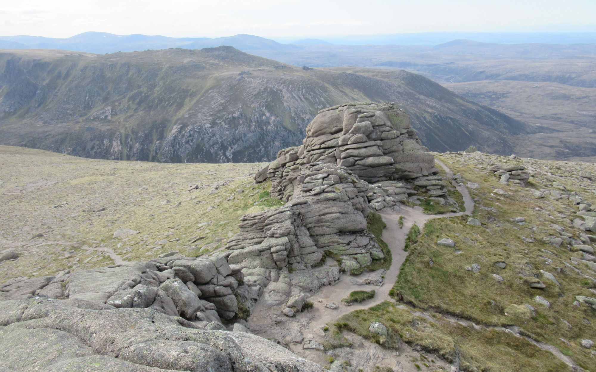
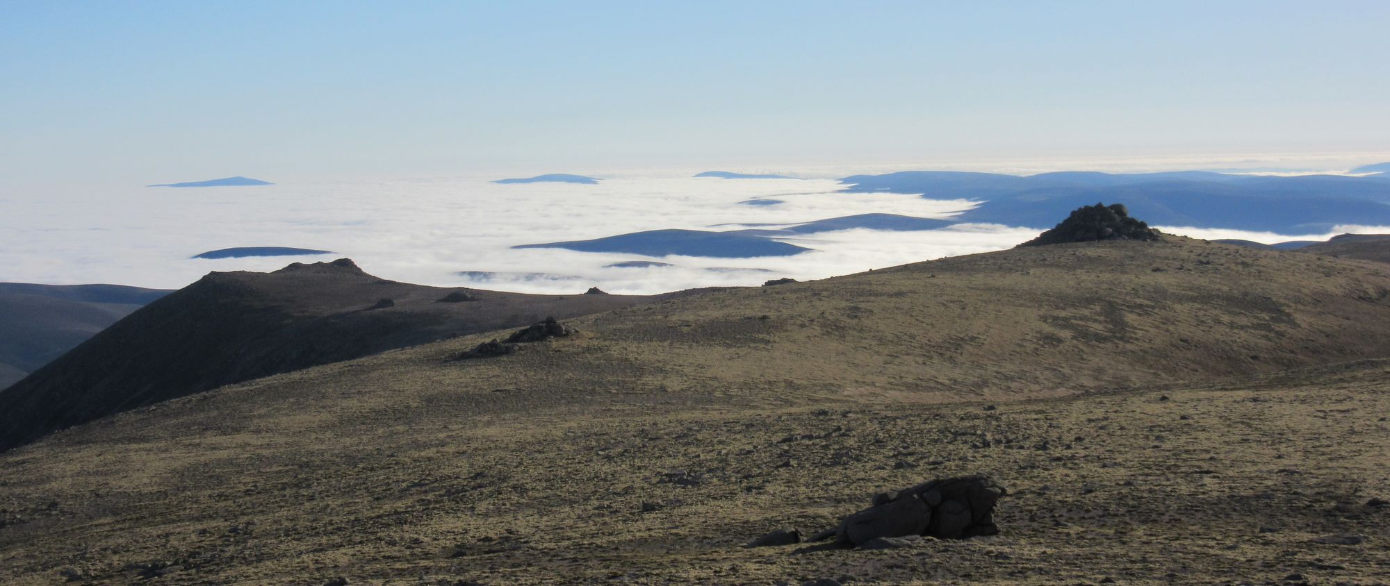
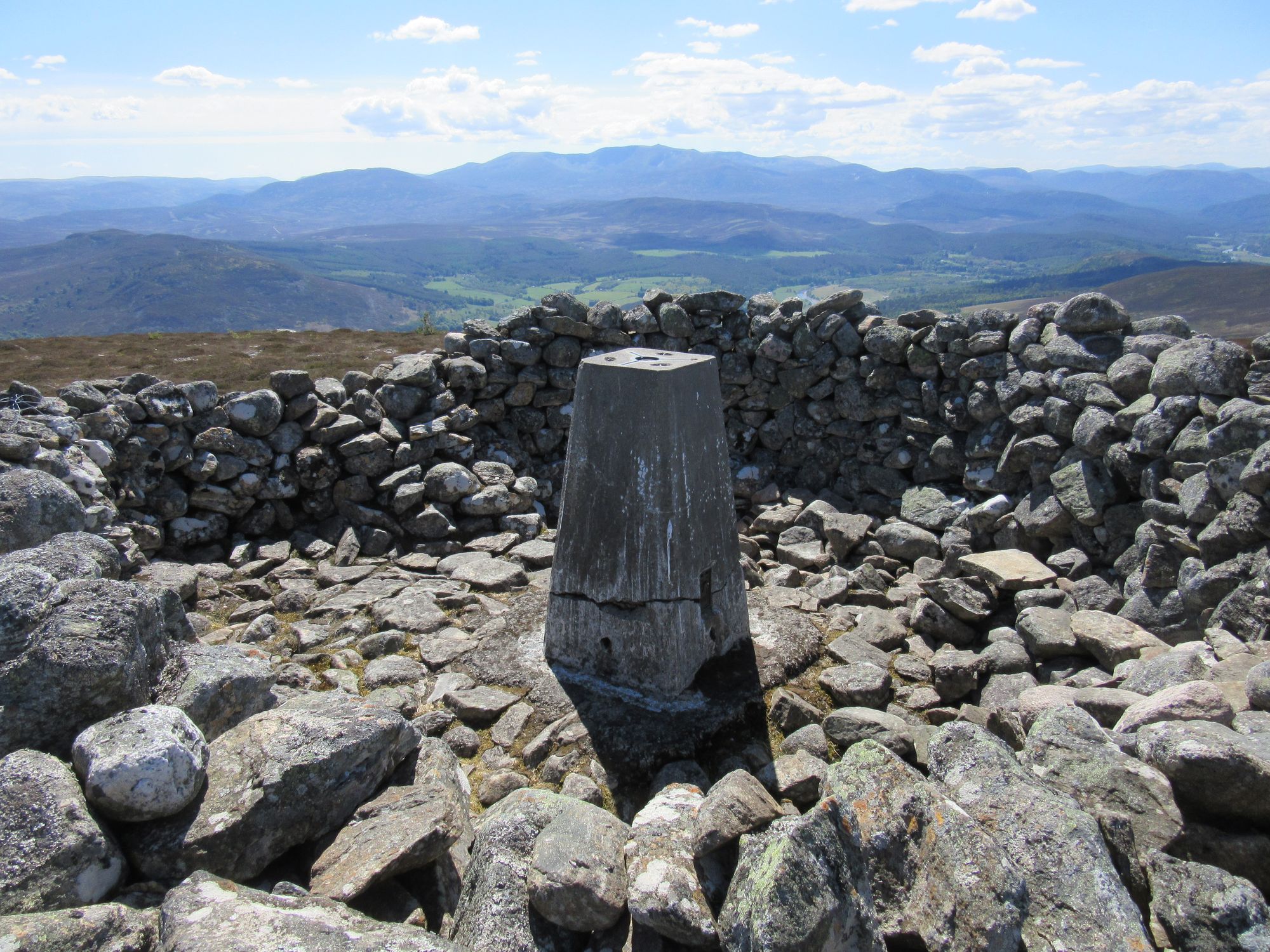
Then it was off over Cairn Gorm via Stob Coire an t-Sneachda, and out to the Munro Top of Cnap Coire na Spreidhe (a new bagging tick for me).
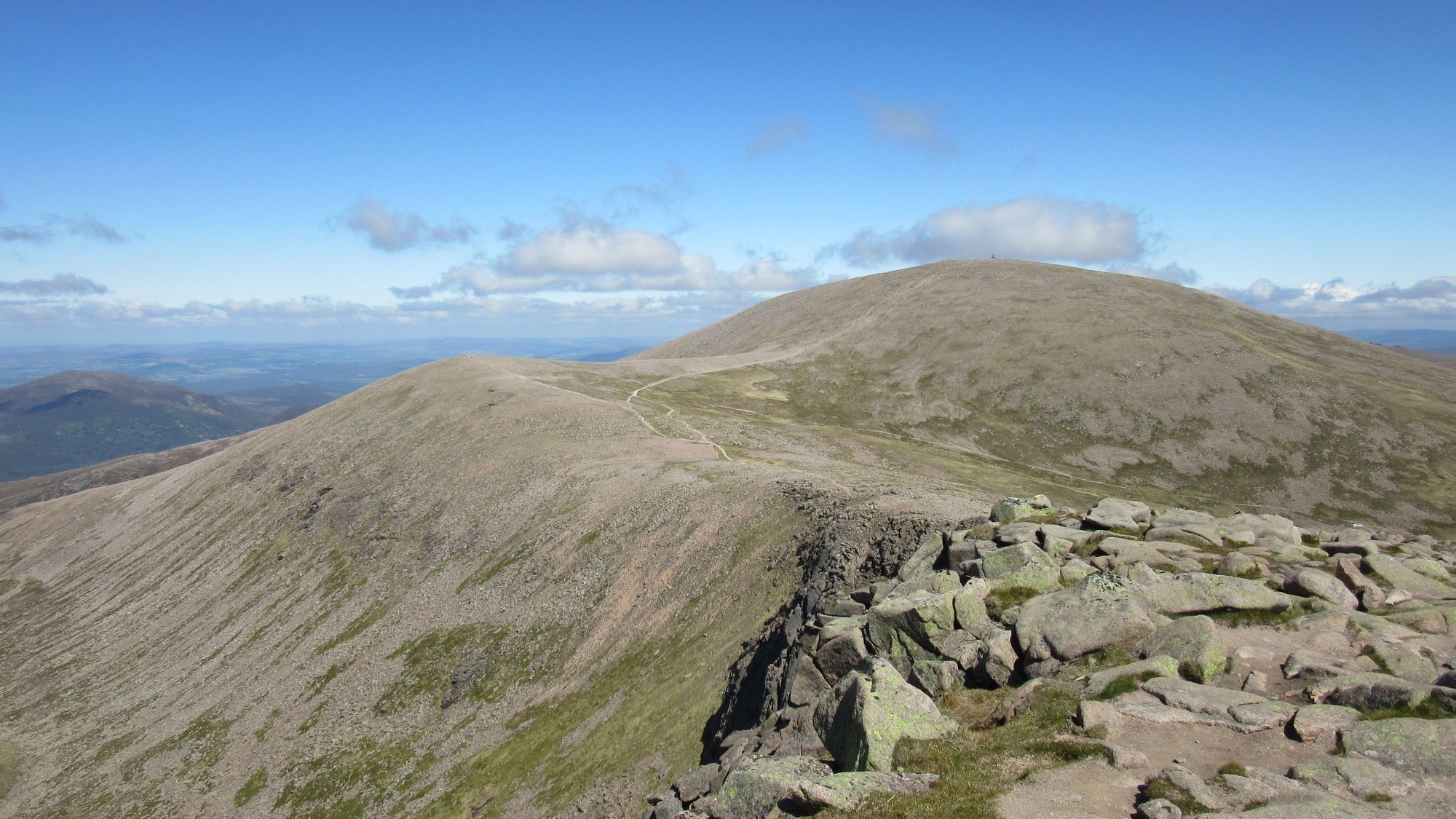
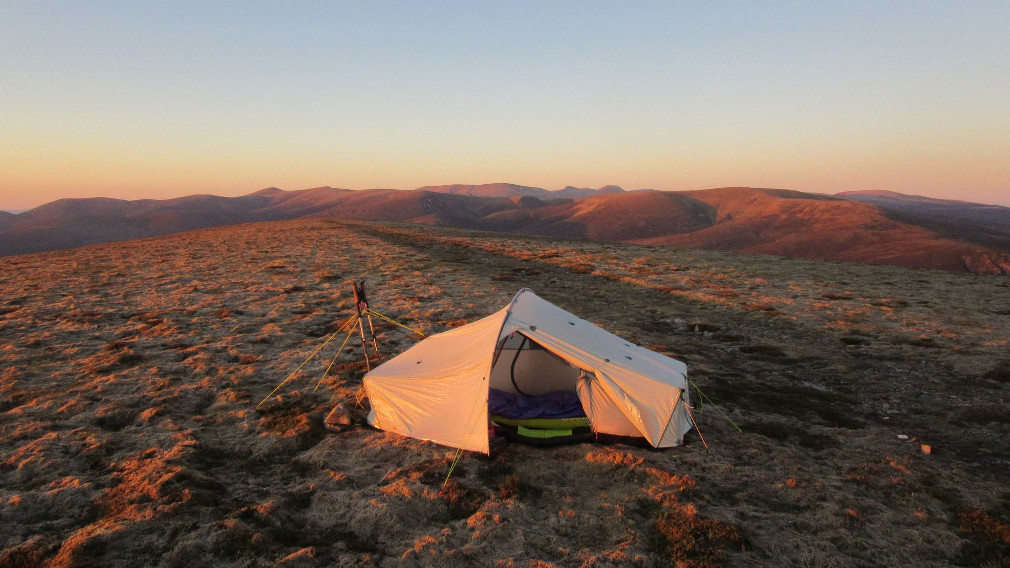
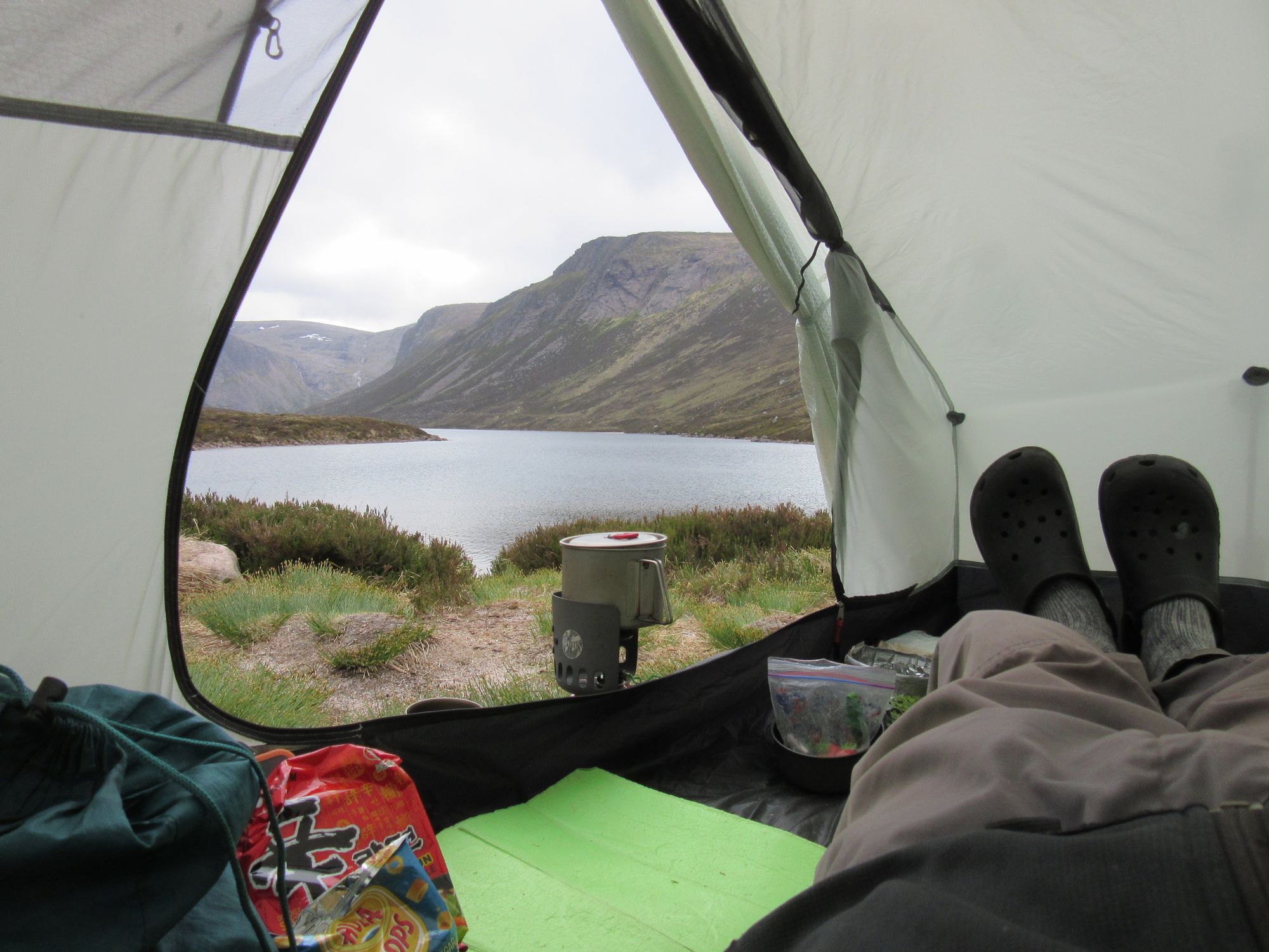
On the way to Cairn Gorm... and that's all nine 4000ers visited on this route!
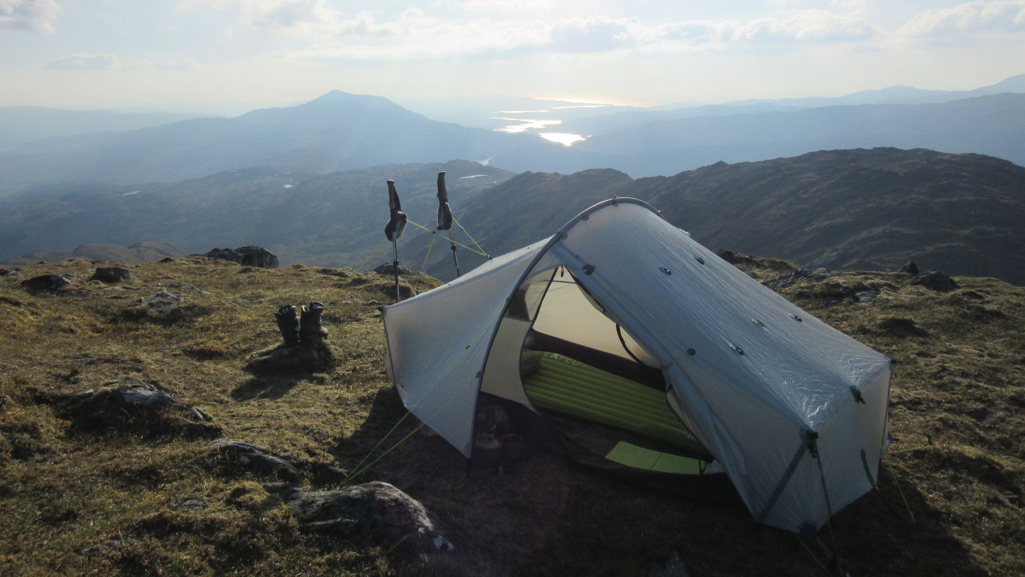
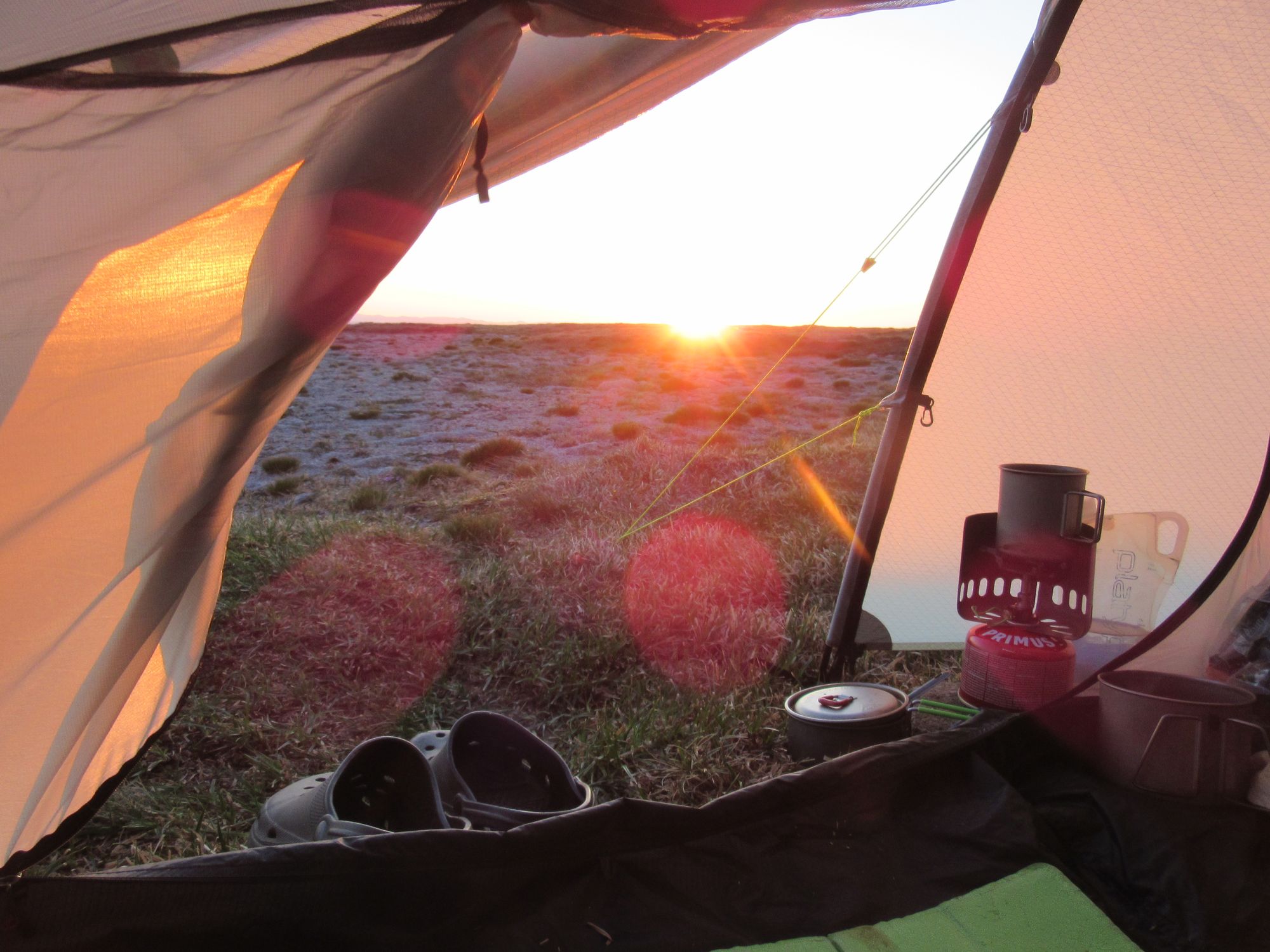
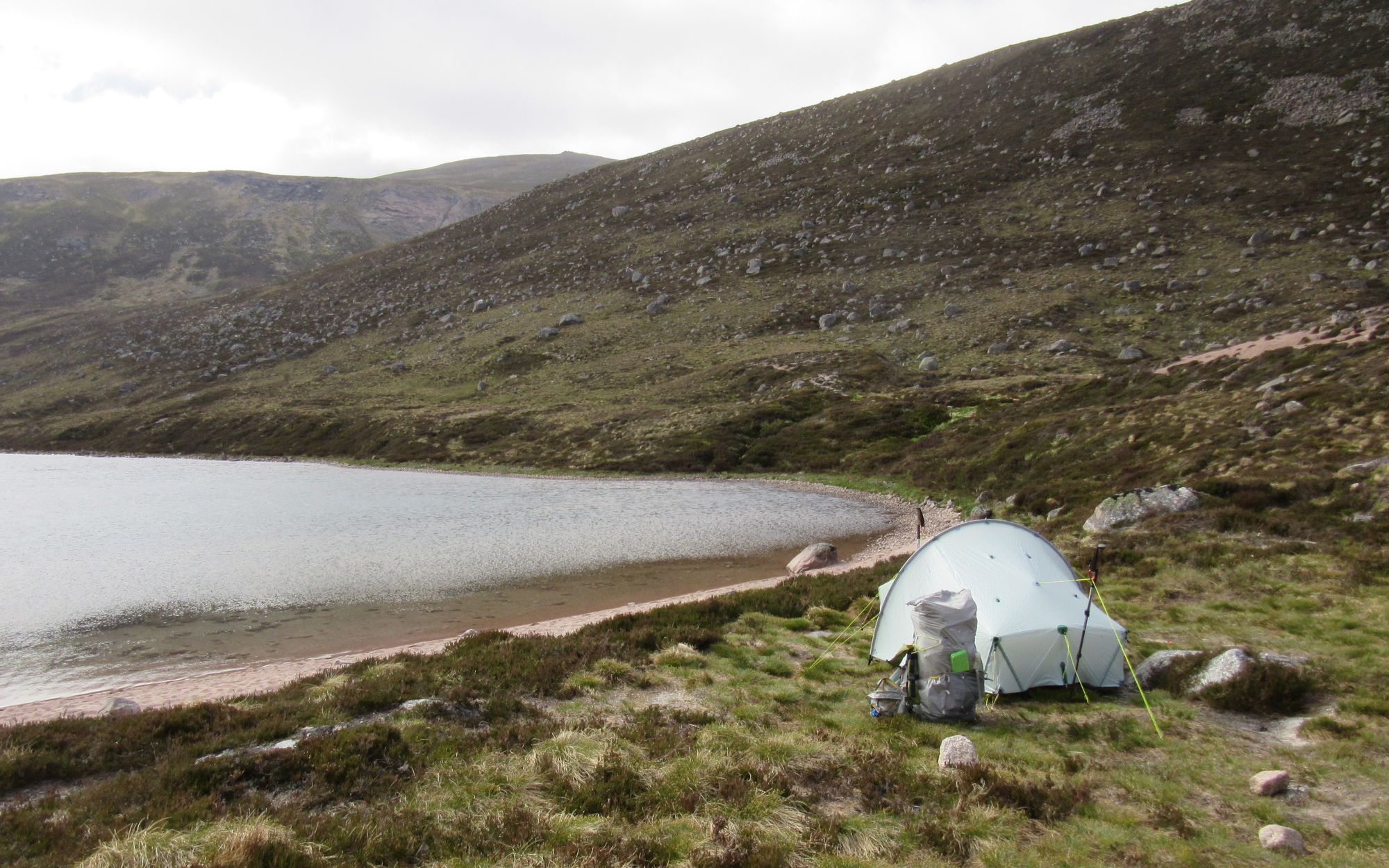
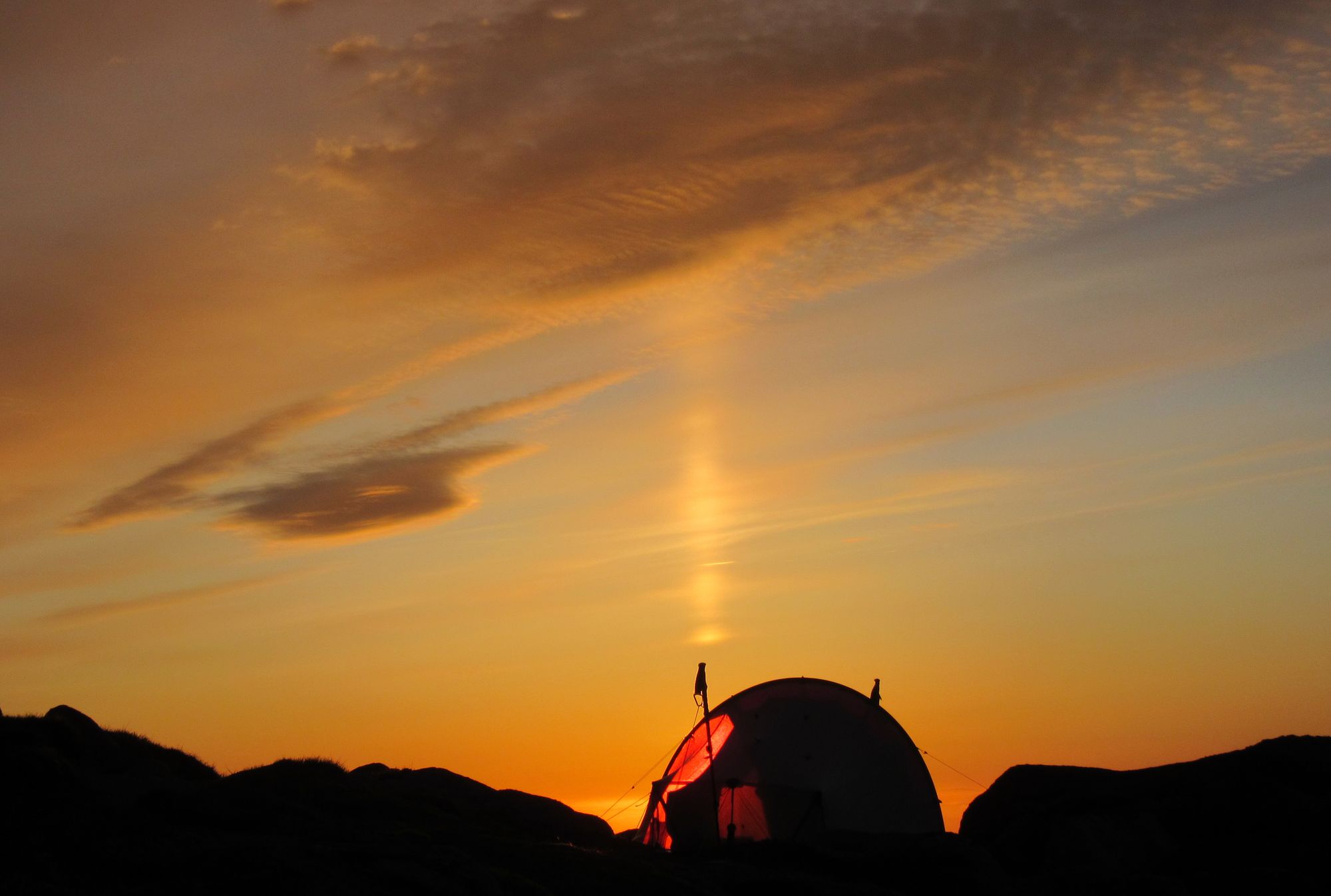
It'd have been tempting to camp here; the wind had eased and I had spotted water available not far away in the burn that flows off Cairn Gorm via Ciste Mhearad. However it was so rocky there was nowhere to pitch, so instead I decided to continue my route on down via The Saddle to the Loch A'an outflow and see what all the fuss was about there.
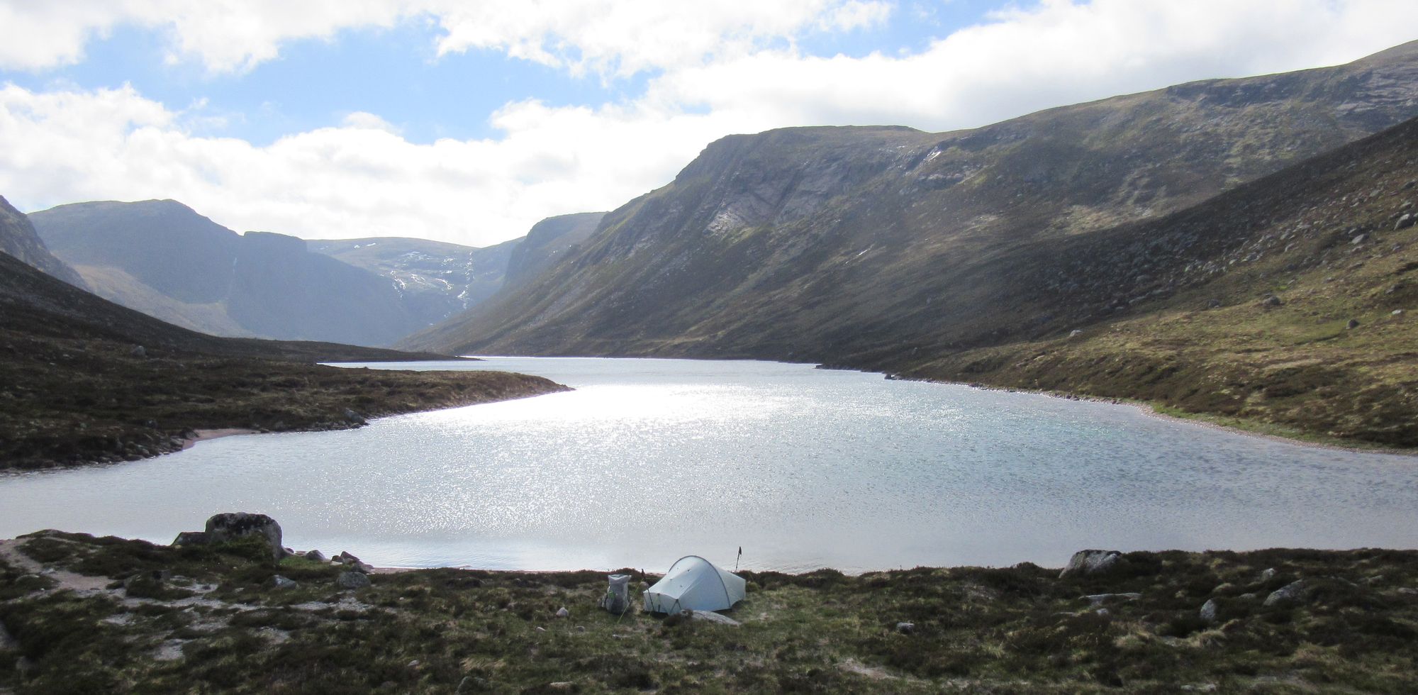
Descending from Cairn Gorm to camp at the east end of Loch A'an.
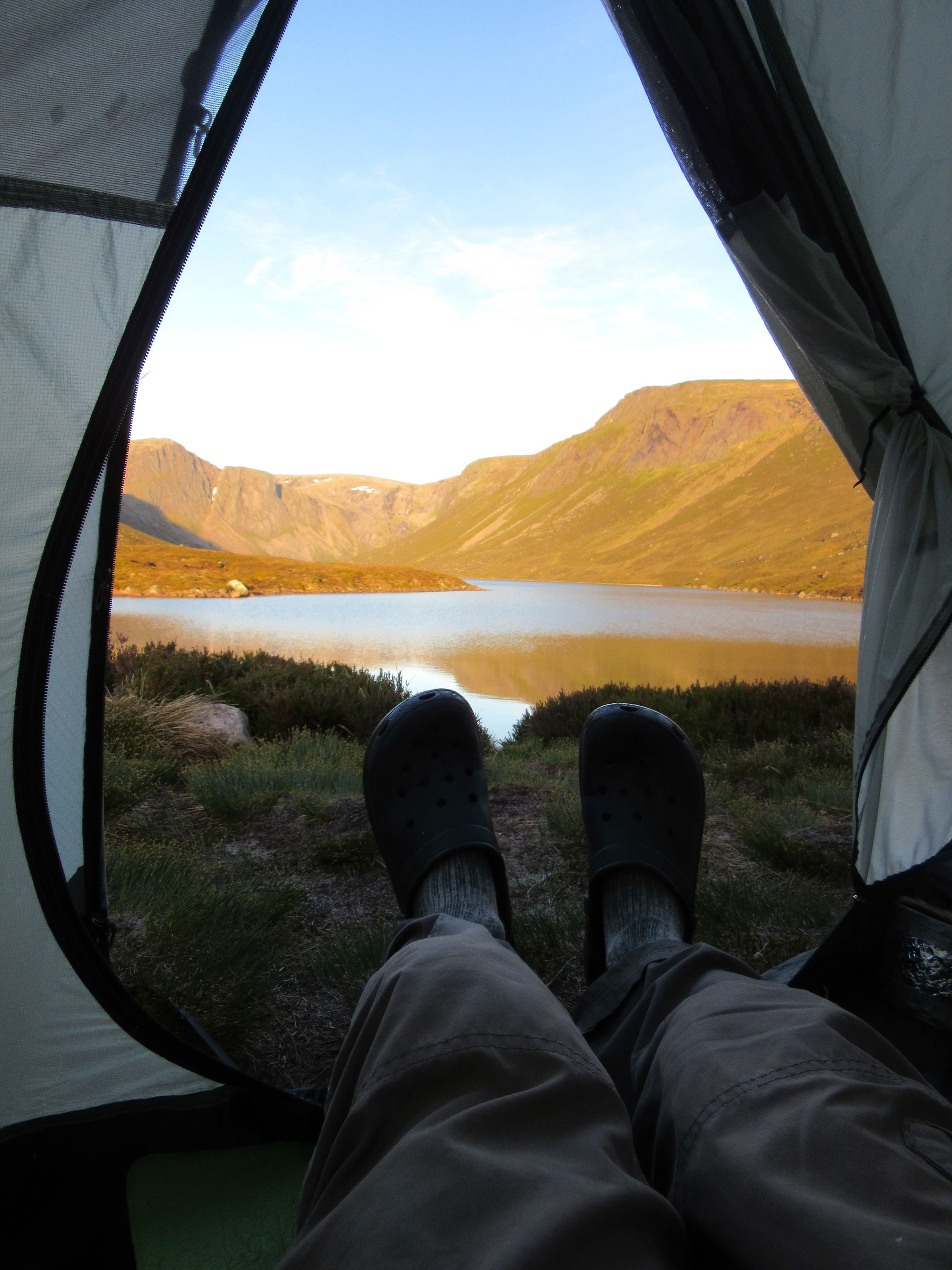
It is indeed a very nice spot! I was amazed to find there was no-one else around and I had the prime position on a grassy terrace behind the small beach to myself.
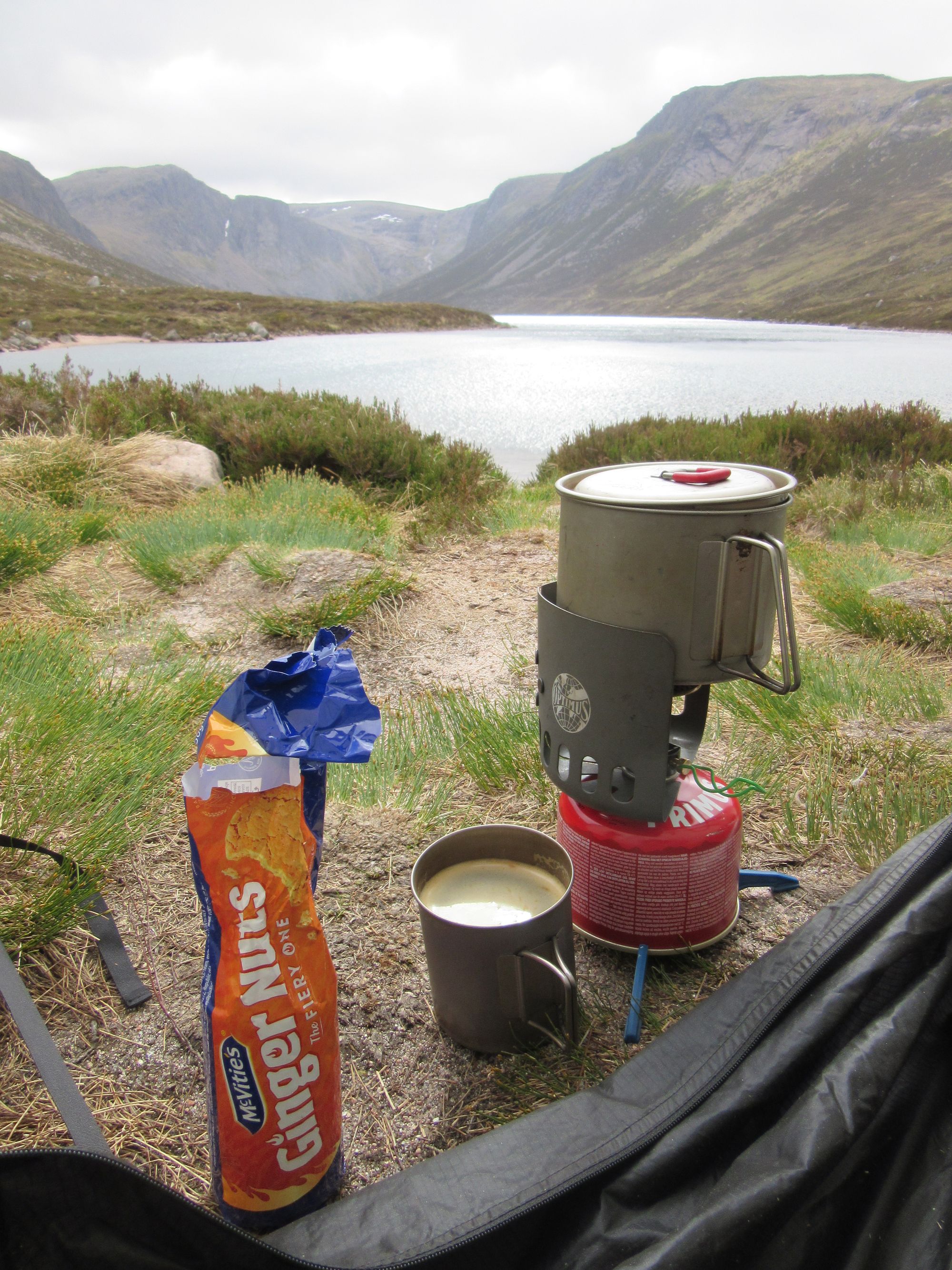
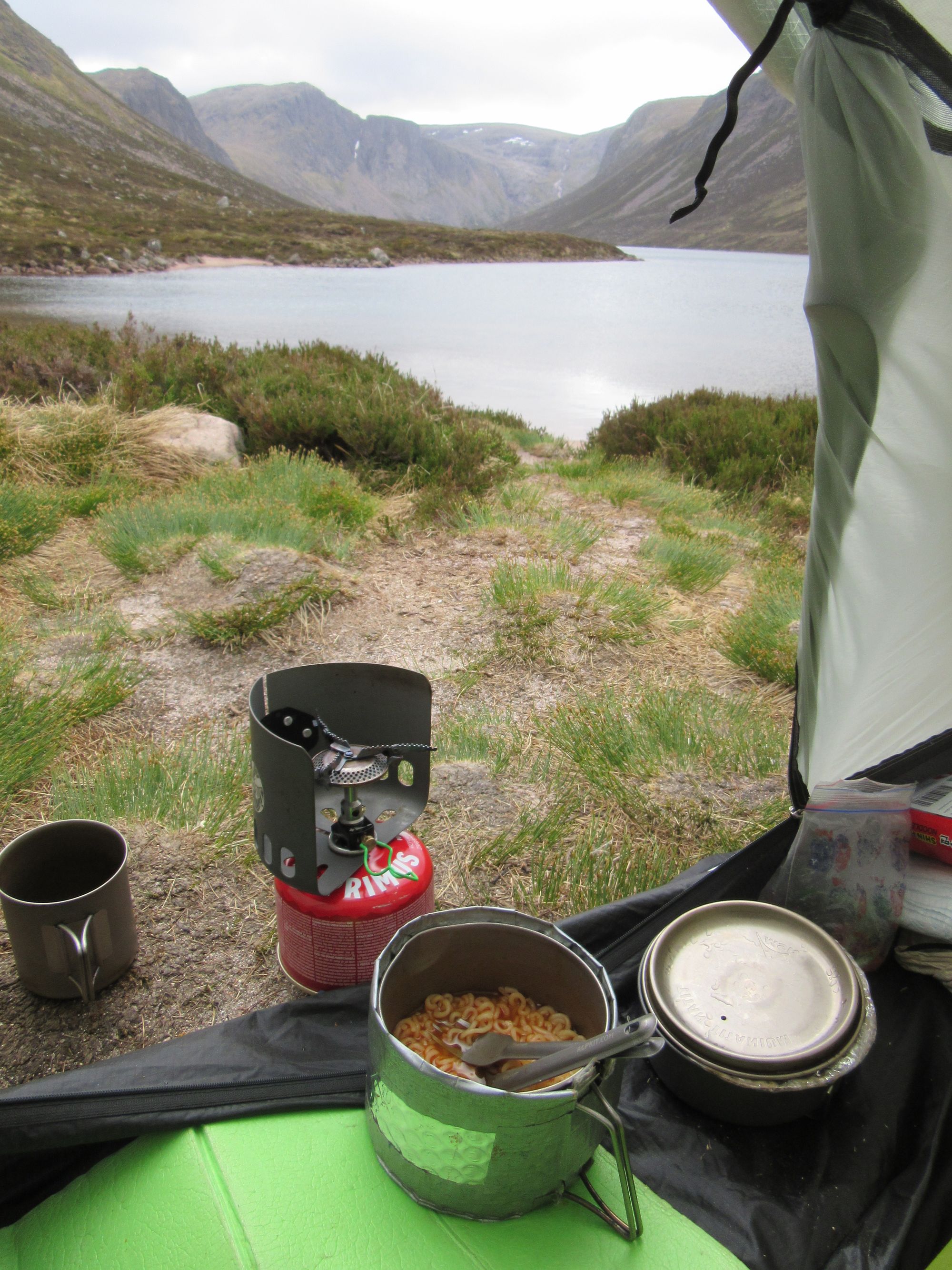
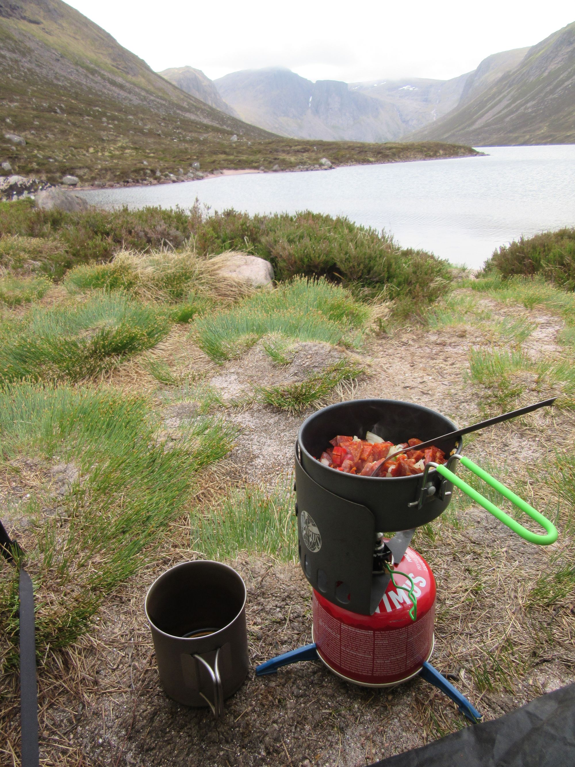
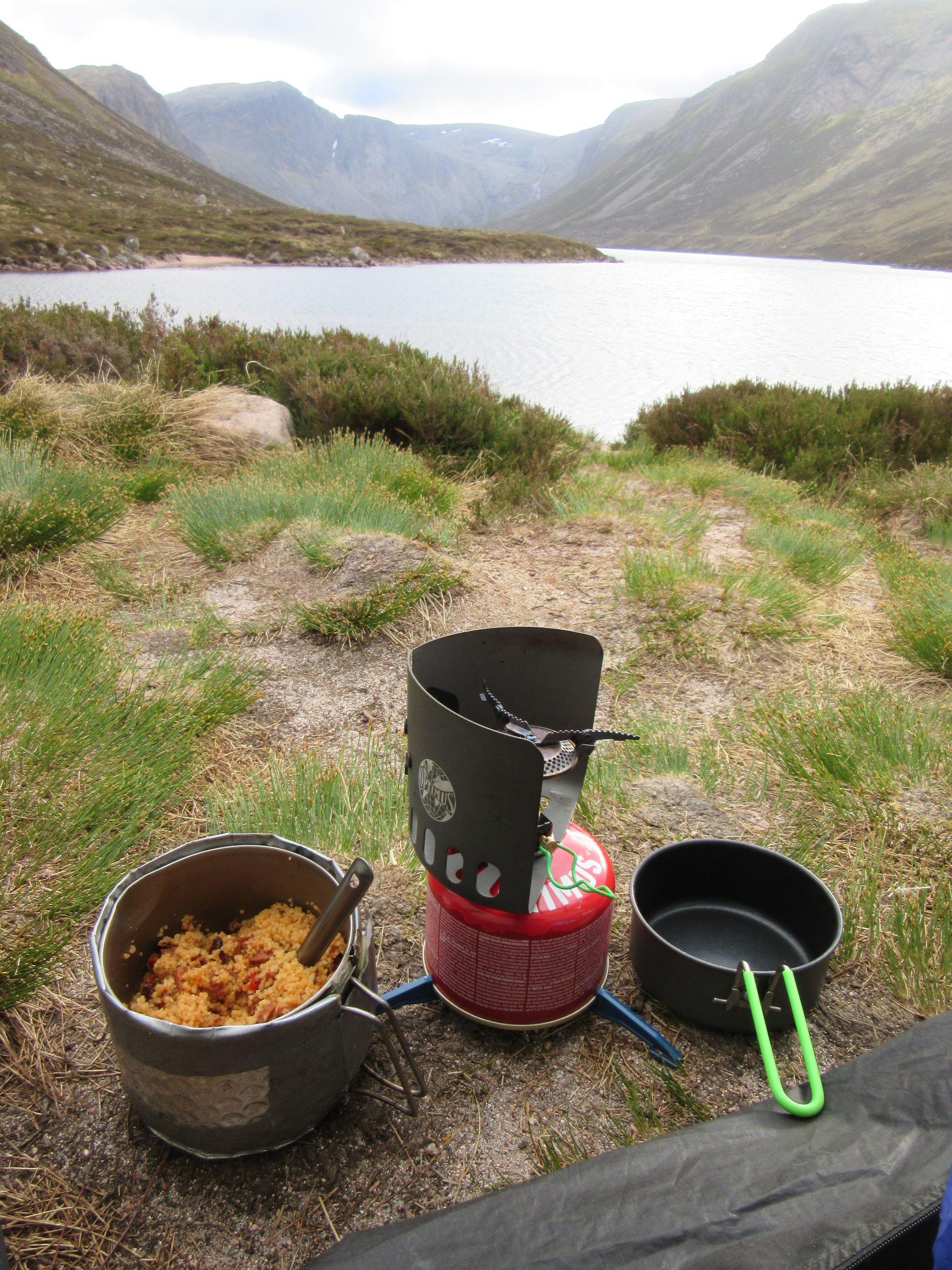
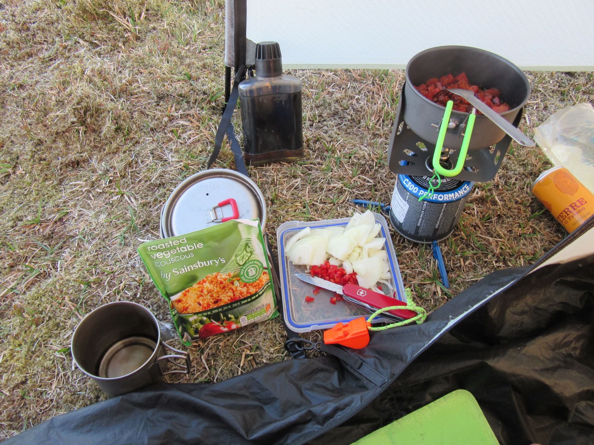
Refuelling after a big day!
Cloud eventually came down onto the hills and there was some light rain so it'd have been a poor evening for a high camp anyway. Later a few more folks turned up and camped further away down the south side of the Loch. I slept well!
Day 11
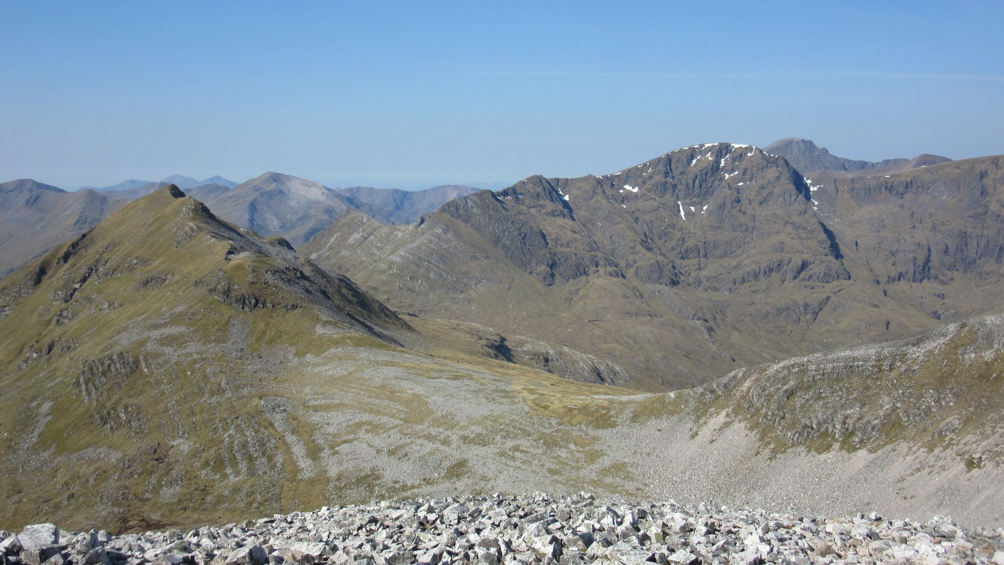
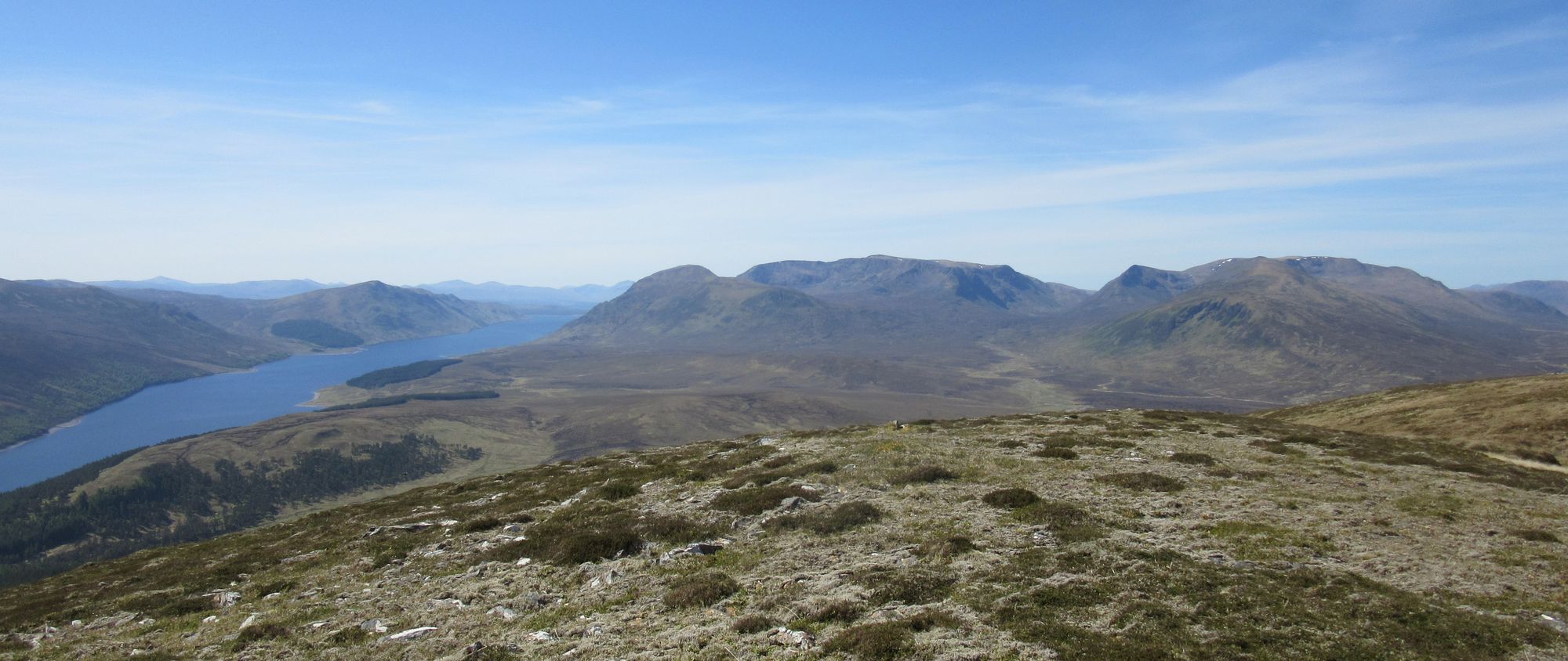
Loch Avon outflow - Fords of Avon - Beinn a'Chaorainn (1082m, M) - Beinn a'Chaorainn Bheag (MT) - S then E to North Top of Beinn A'Bhuird (1197m, M) - out and back to South Top (MT) - Cnap a'Chleirich (MT) - The Sneck - Leabaidh an Daimh Bhuidhe (1171m, M) of Ben Avon.
With blue skies and sunshine this morning it was hard to get moving from the idyllic waterfront spot, but the journey had to be continued.
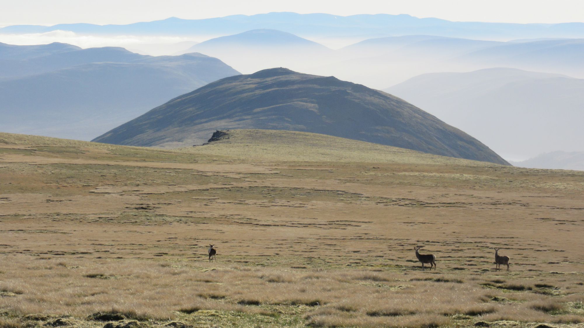
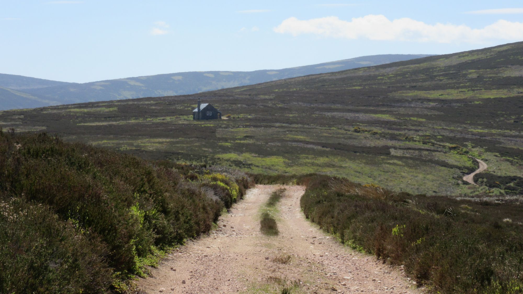
It was mobbed with campers around the Fords of Avon refuge, although none of them seemed to be TGOCers. With the ground conditions being so dry I easily crossed the ford with boots on and slogged up the heathery slopes of Beinn a'Chaorainn and then onto its neighbouring Top.
Looking back at the Fords of Avon crossing and refuge (an easy crossing in the dry conditions) and Beinn a'Chaorainn summit.
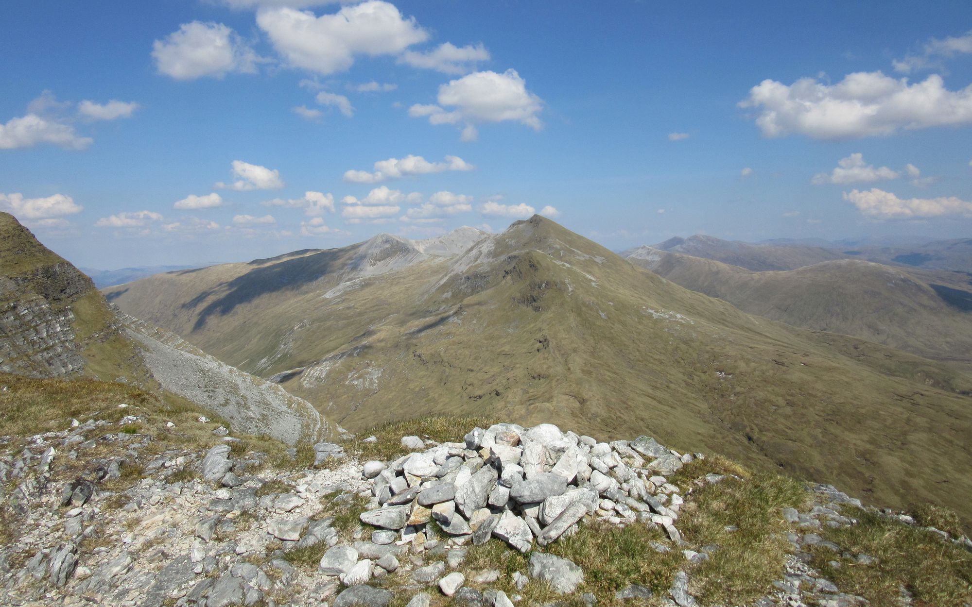
Beinn a'Bhuird's North Top soon followed, although I went out-and-back to the South Top first (both the small cairn which marks the actual Top, and the large cairn which everyone seems to think is it... some other visitors to it today included!)
Along the way from Beinn a'Chaorainn to Beinn a'Bhuird's tops.
Beinn a'Bhuird is surprisingly good for water at its eastern end around Cnap a'Chleirich and I loaded up with camp supplies from a spring before crossing The Sneck onto Ben Avon. The climb from The Sneck is a bit nasty and eroded (my diary's notes for the day say "Worst path of the trip?") but then fast progress was made towards Ben Avon's summit tor of Leabaidh an Daimh Bhuidhe.
On the way to Ben Avon's summit tor via The Sneck.
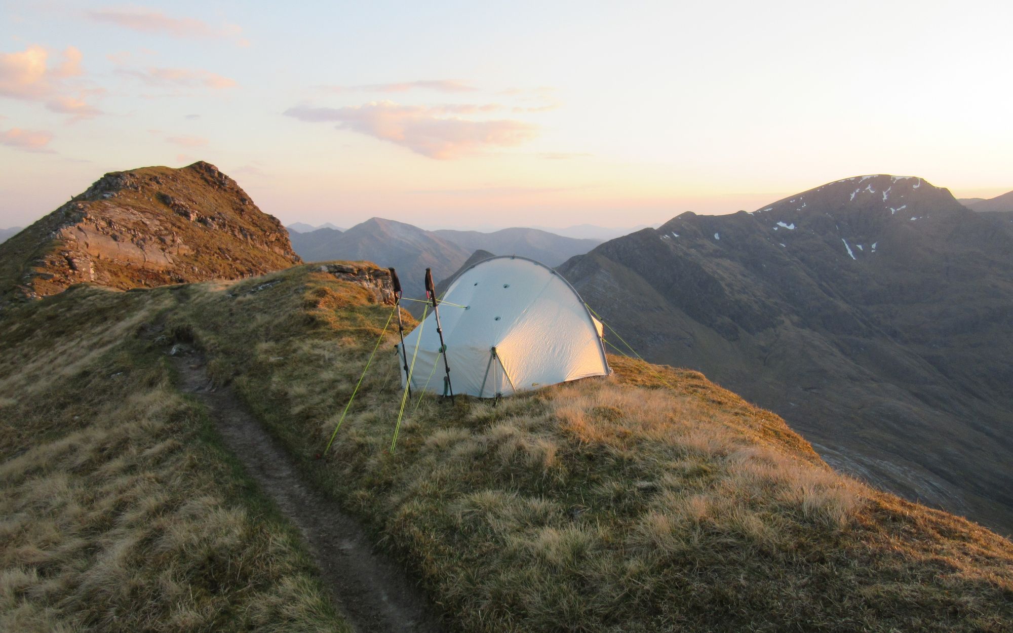
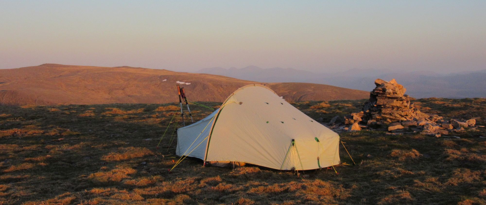
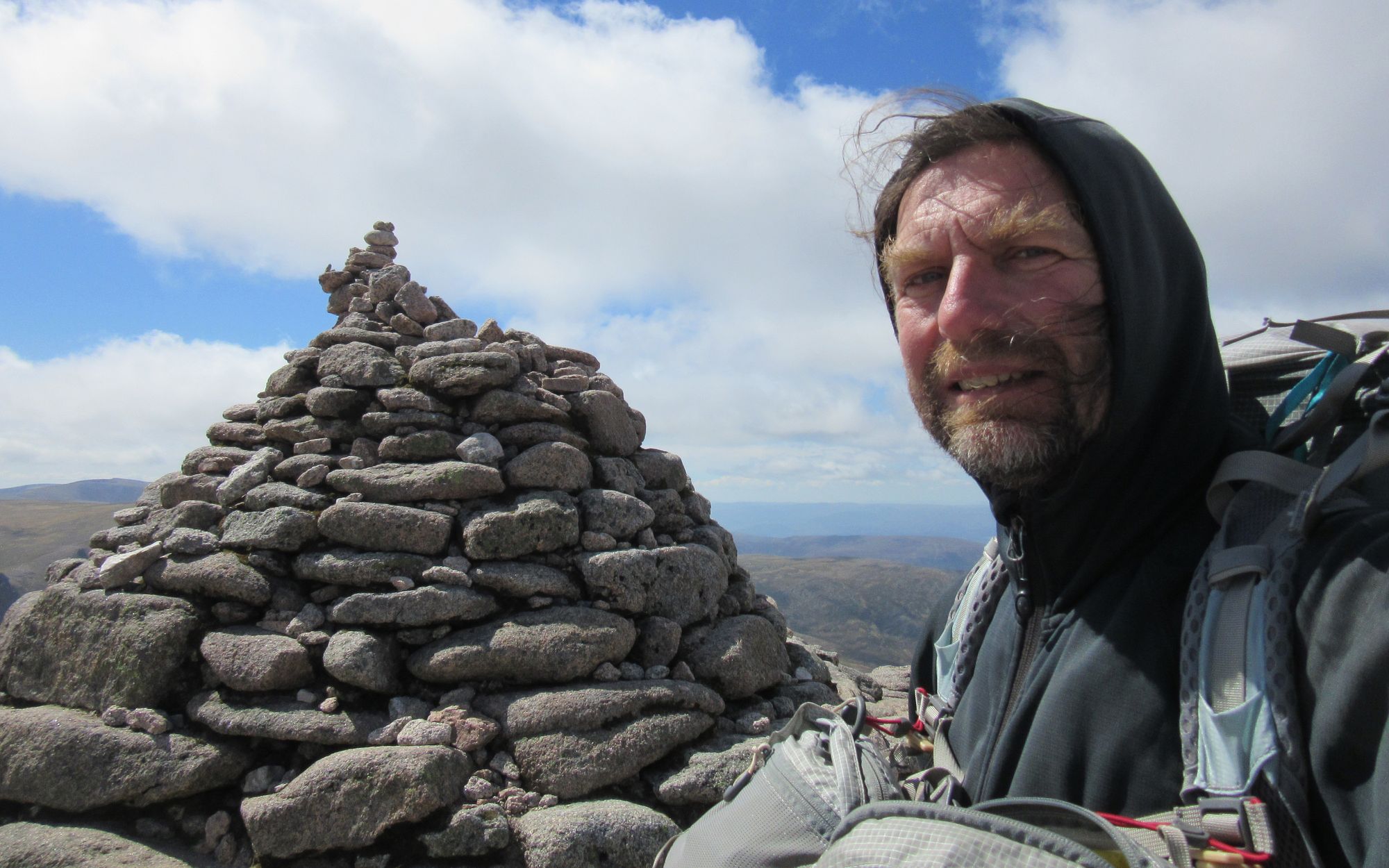
After a scramble to the top of the rocks to bag the hill for my second round of Munros, I then had to ponder where to camp: the summit rocks sit on top of steep grassy slopes and the obvious solution is to go further away on the plateau to where it flattens out, but I was able to find a big enough grassy flat patch on the eastern side which still offered a view of what promised to be a nice sunset. Over at another tor to the northeast there were a couple of chaps from Tomintoul (and their dog) out bivvying.
Camped on Ben Avon.
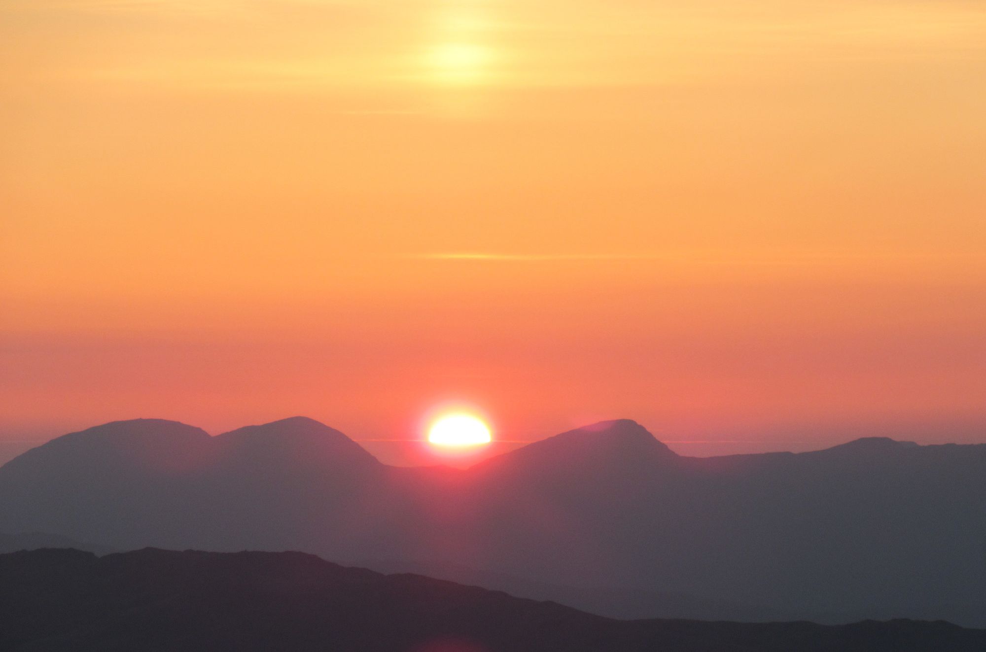
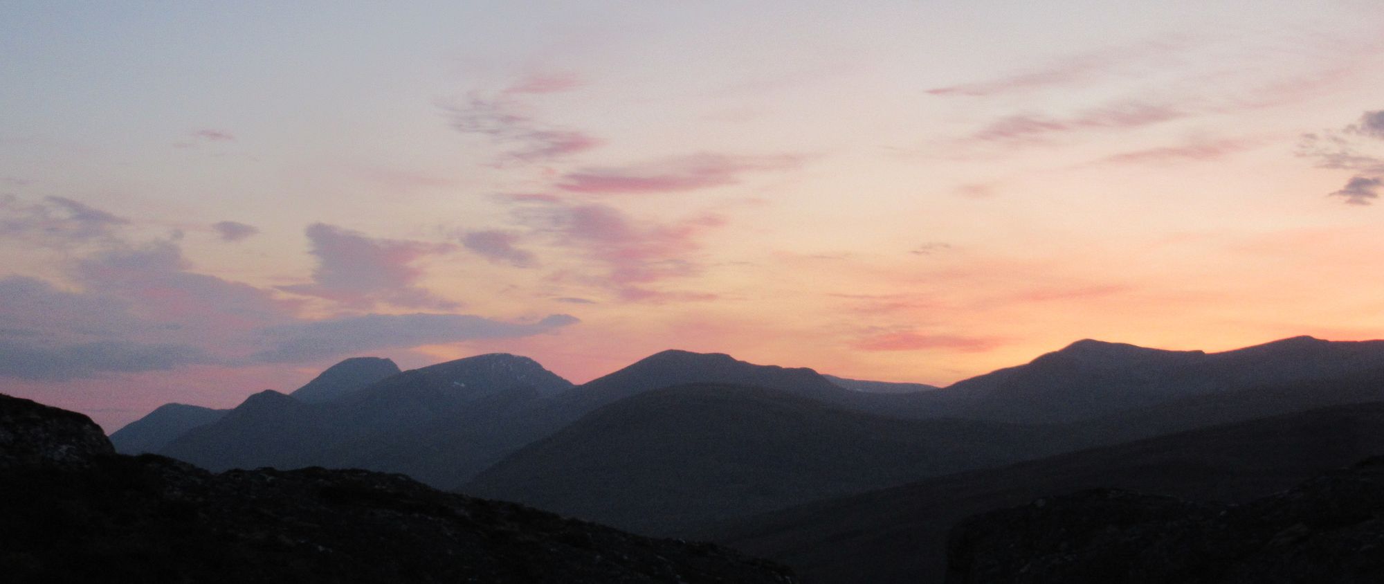
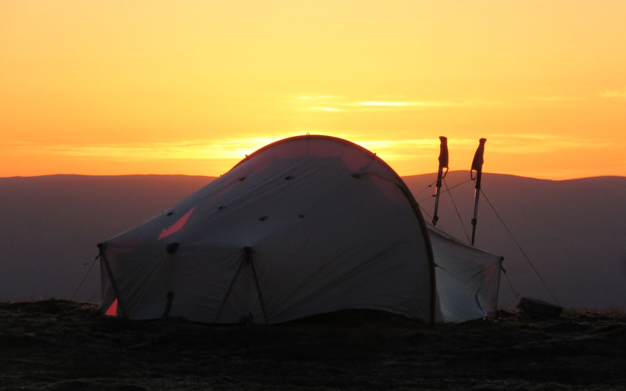
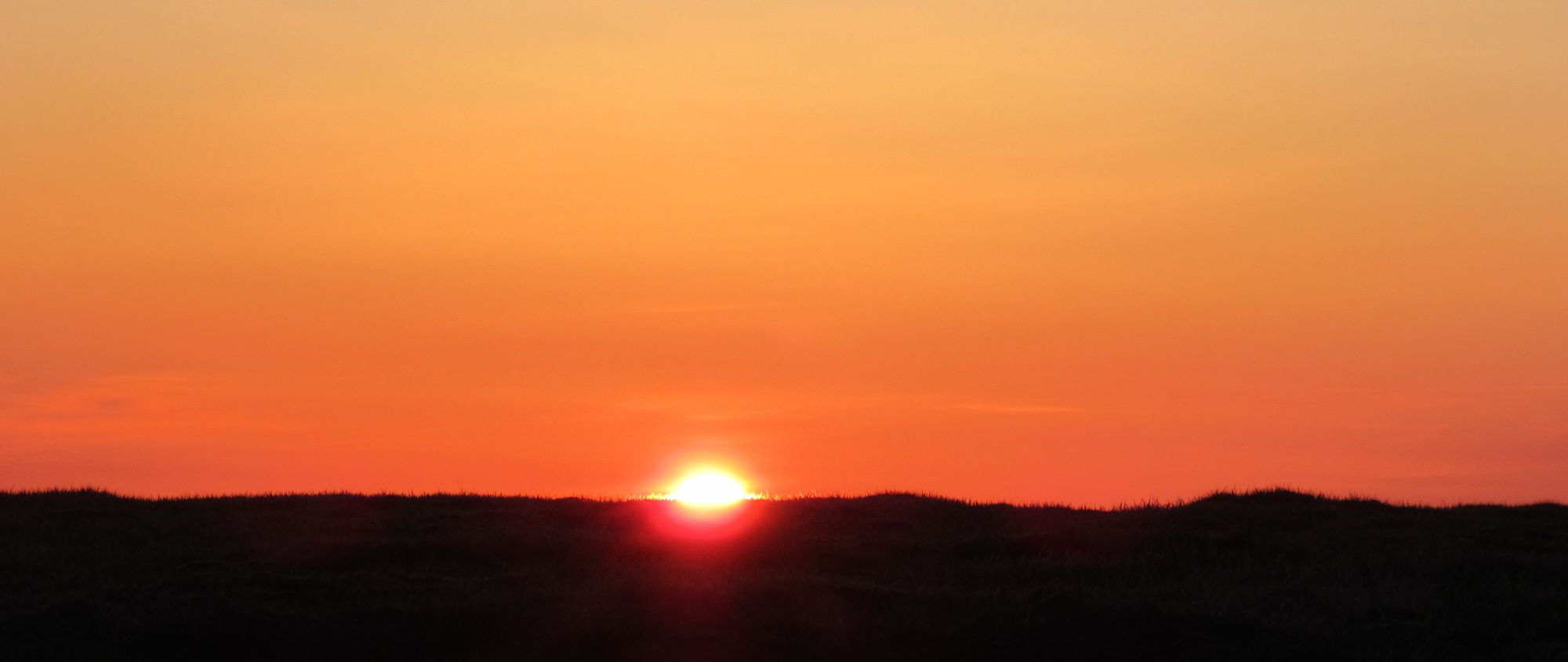
Sunset on Ben Avon.
Day 12
Leabaidh an Daimh Bhuidhe (Ben Avon) - Carn Drochaid - tracks E besides River Gairn - bridge near Daldownie - SE to Blairglass - S to B976, briefly N on road - track to Pt.568 - E to Geatlaig Hill (743m, G) - track to Carn Dearg - leave track to descend to forest path/track to Culsh - S on A939 - E on off-road route parallel to A93 on S side - Ballater.
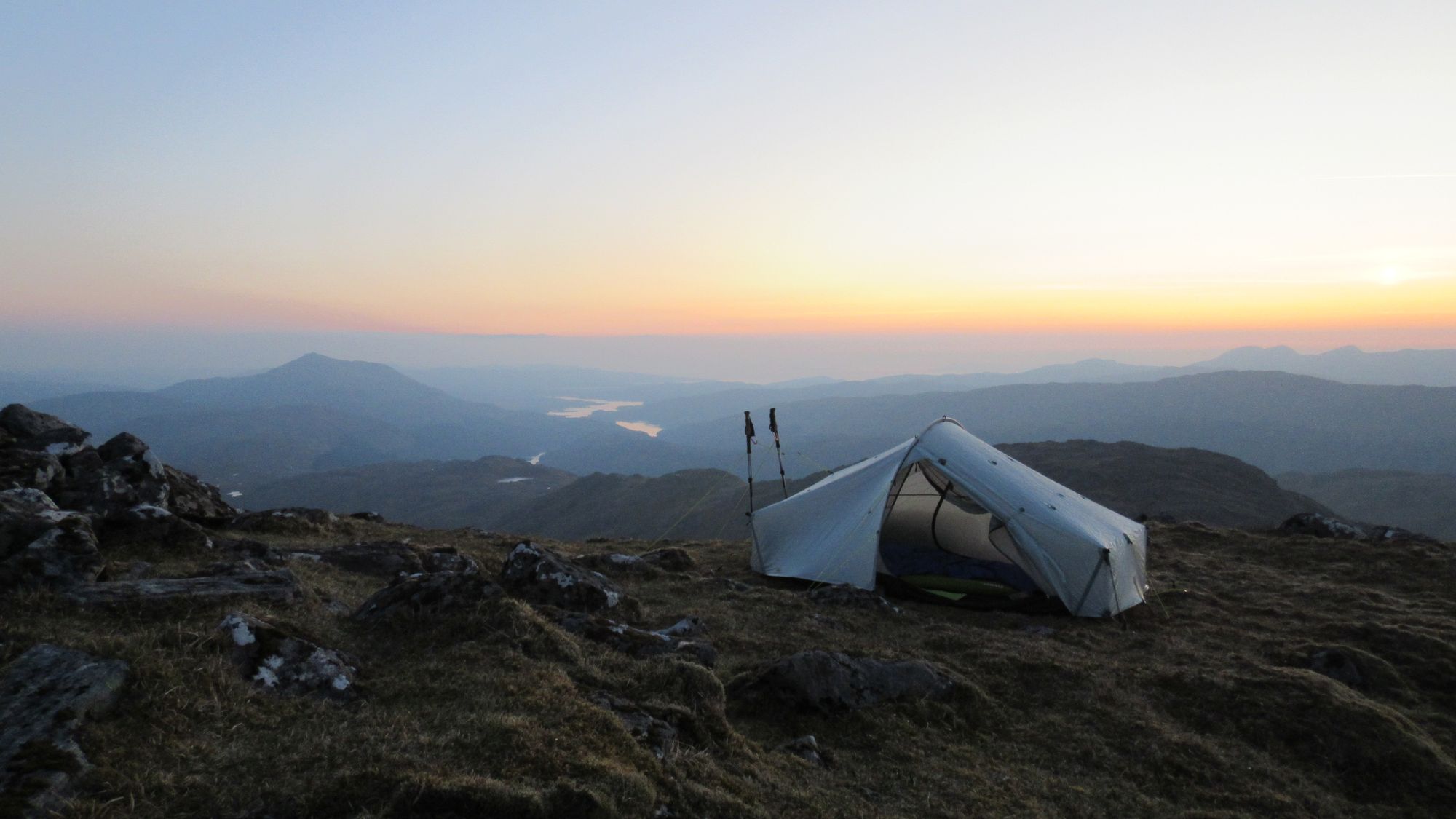
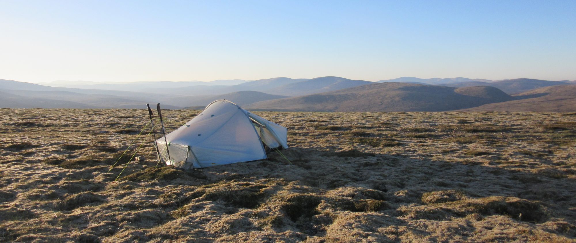
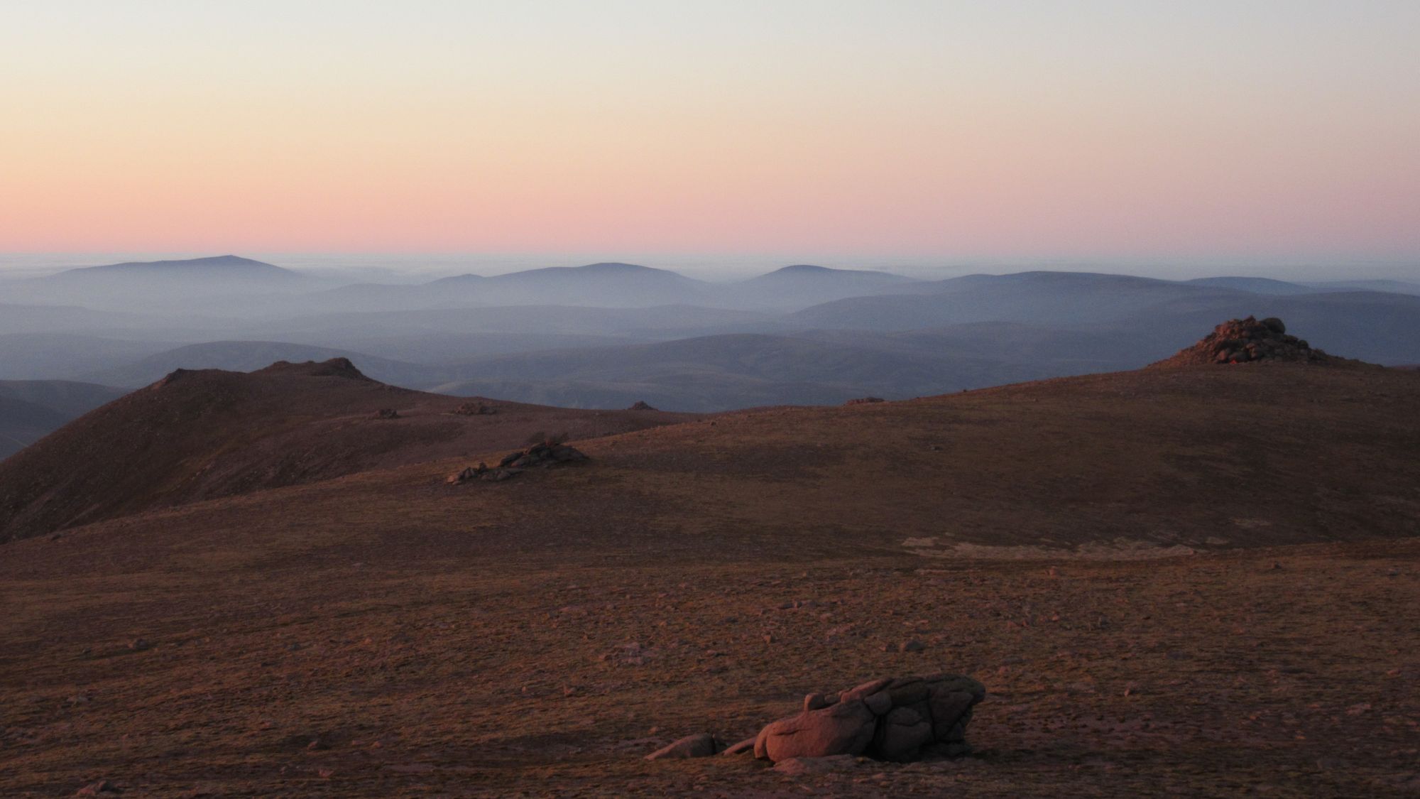
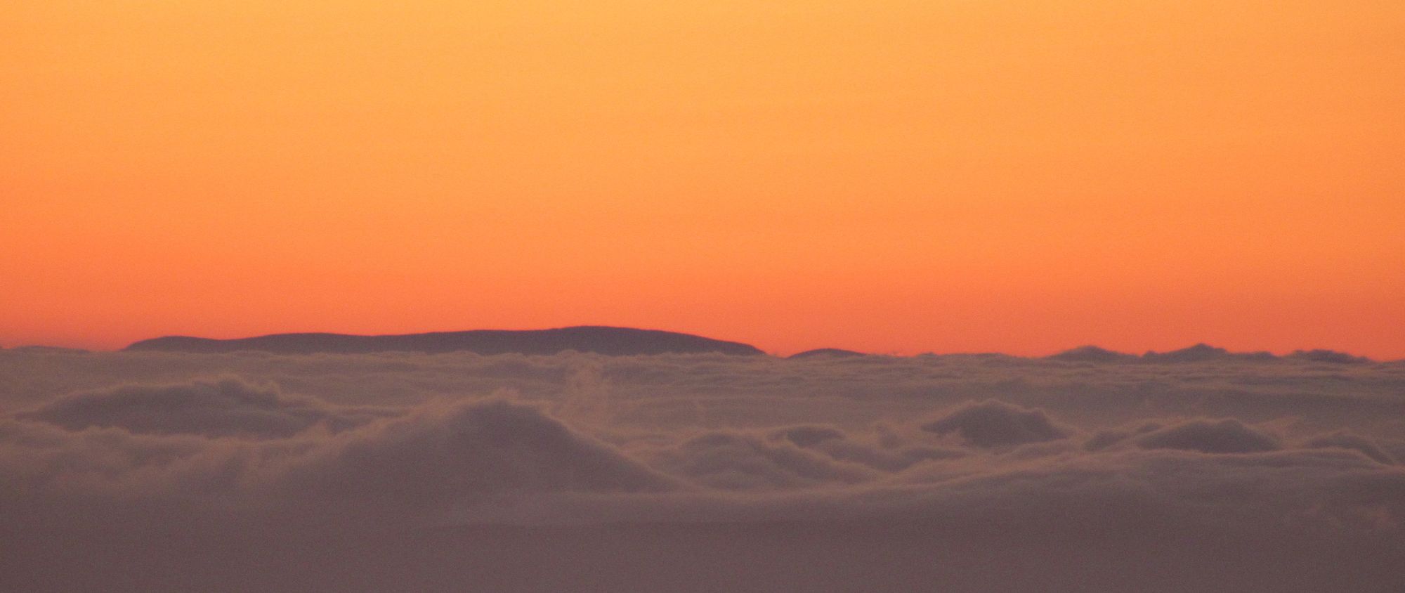
The calm bright morning saw the first real inversion conditions of the trip, although the nearest cloud was quite far away due to the sprawling expanse of Ben Avon's summit area.
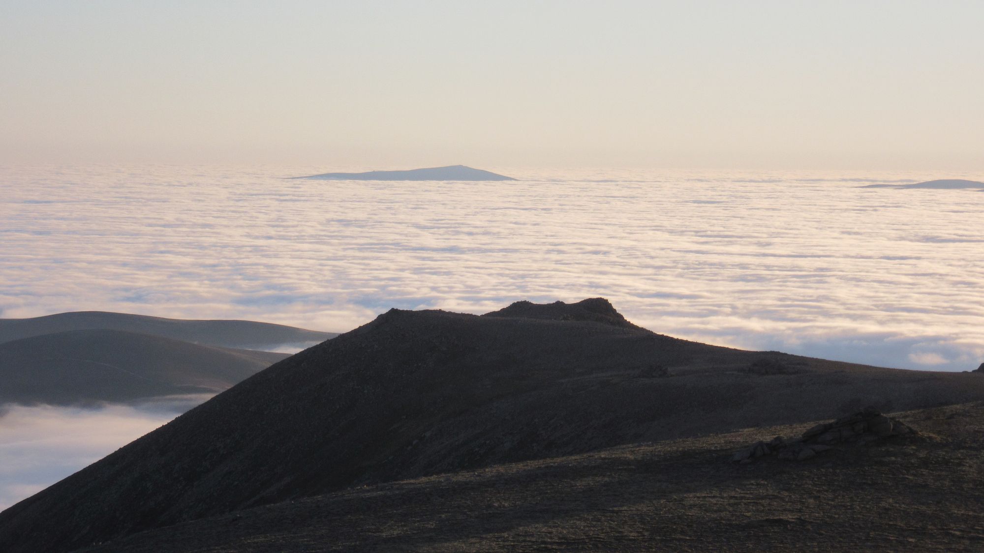
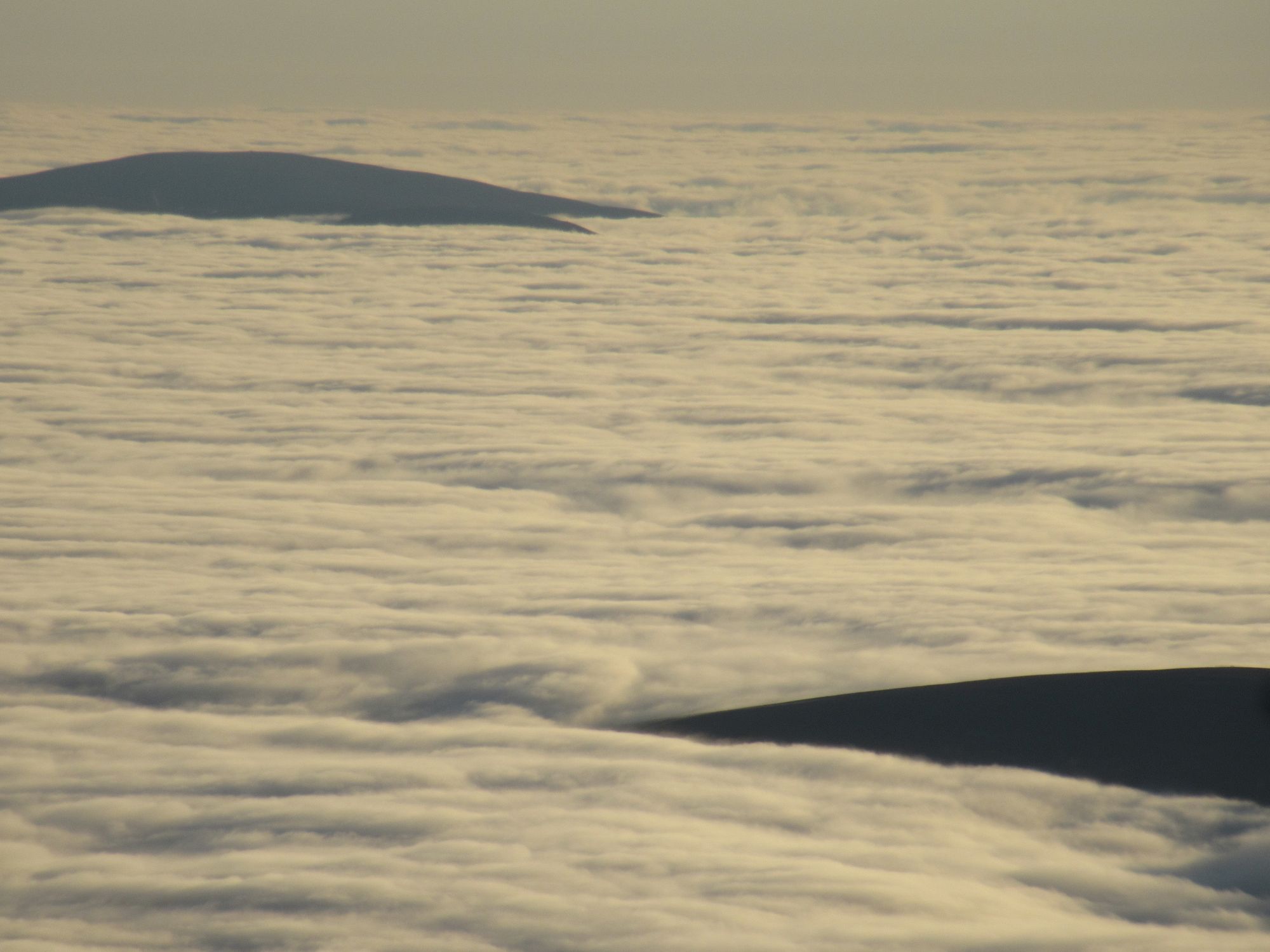
Above the clouds on Ben Avon.
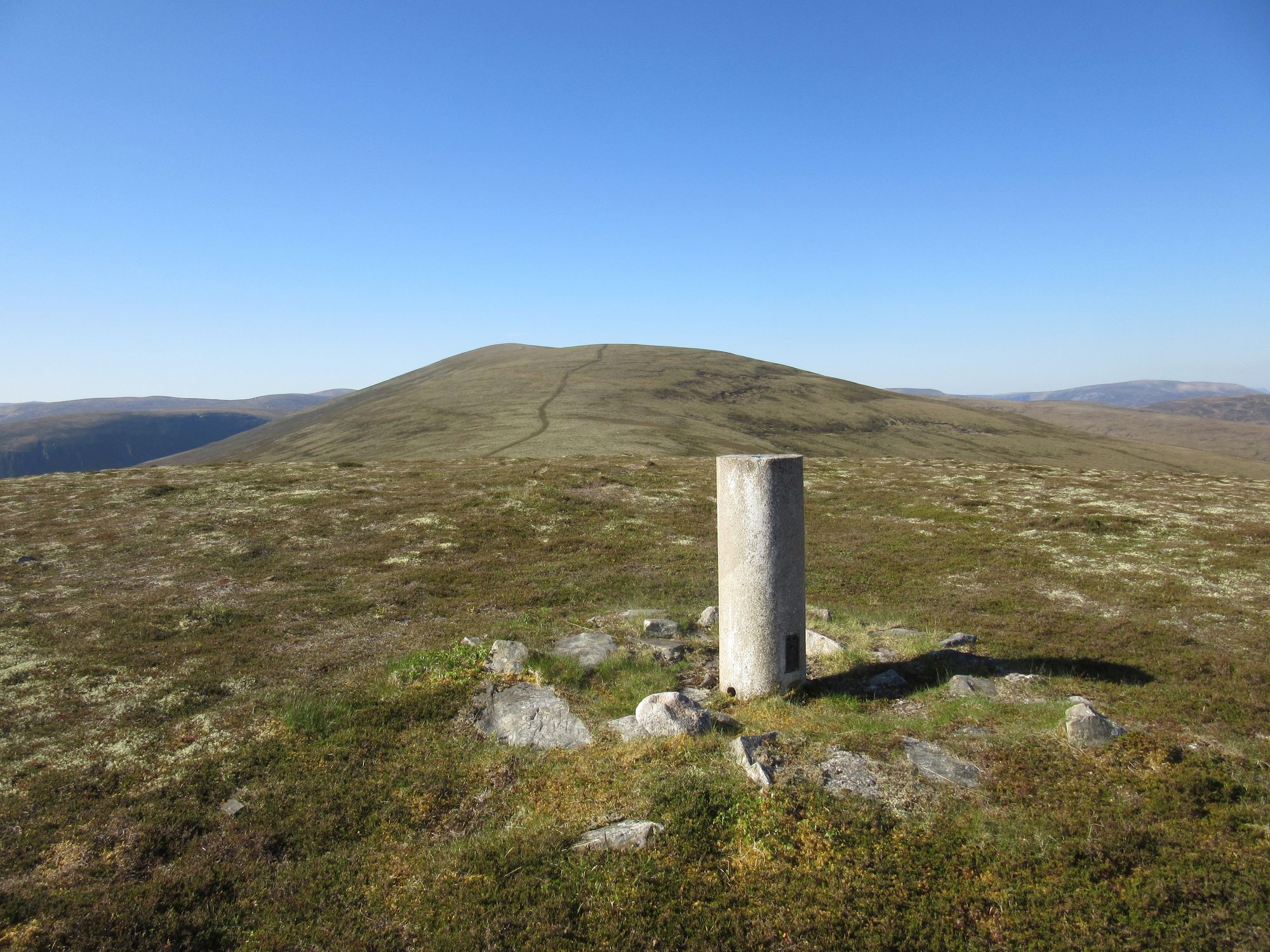
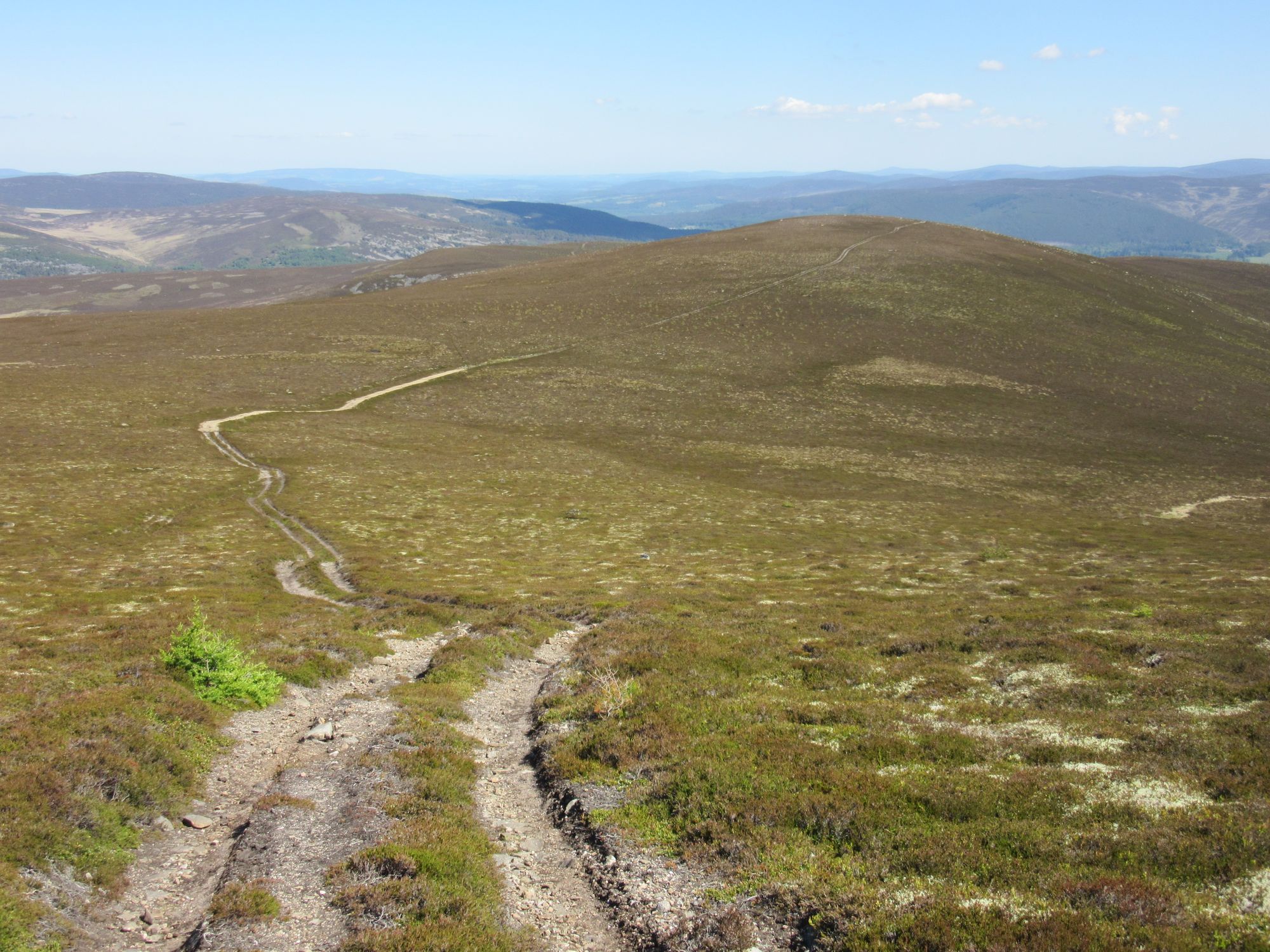
I paid the bivouackers a visit then descended off over Carn Drochaid to reach the River Gairn at a ford where some stepping stones made for an easy crossing. There followed a long hot plod east on the track beside the river until I eventually left it shortly after the bridge at Daldownie to follow another track to the B976 on the north side of Geatlaig Hill. I followed the road to the high point, then went uphill over heather for a short distance to pick up a track which wound its way up to the summit trig point. In the route-planning stages I'd half wondered about this hill's summit camping possibilities; it turned out it's pretty awful: nothing but a carpet of thick heather, and the last flowing water seen had been miles back at the River Gairn.
The long hot dry plod to a heathery Geatlaig Hill.
From there I followed a faint path - in places being reclaimed by the heather - down to Culsh on the A939. A bit of quiet road walking took me to the busier A93 but then after the bridge over the River Gairn a footpath let me get into Ballater away from the road.
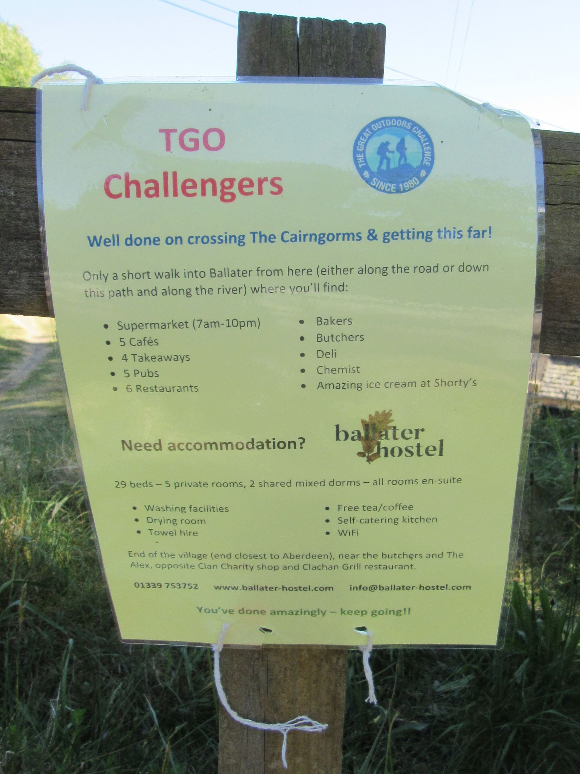
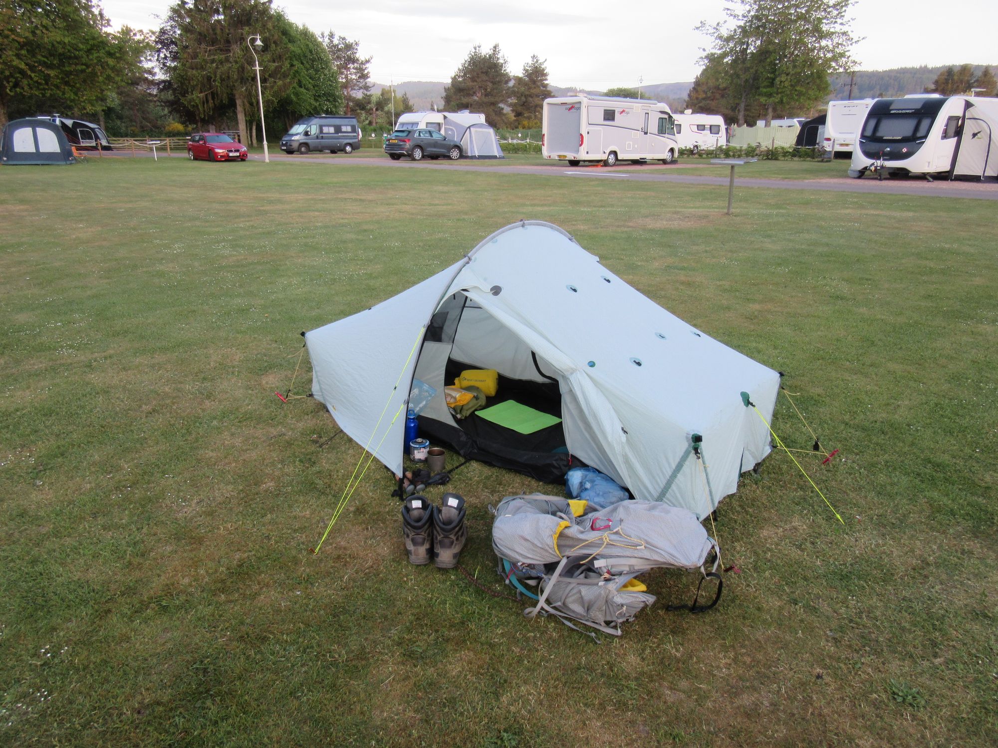
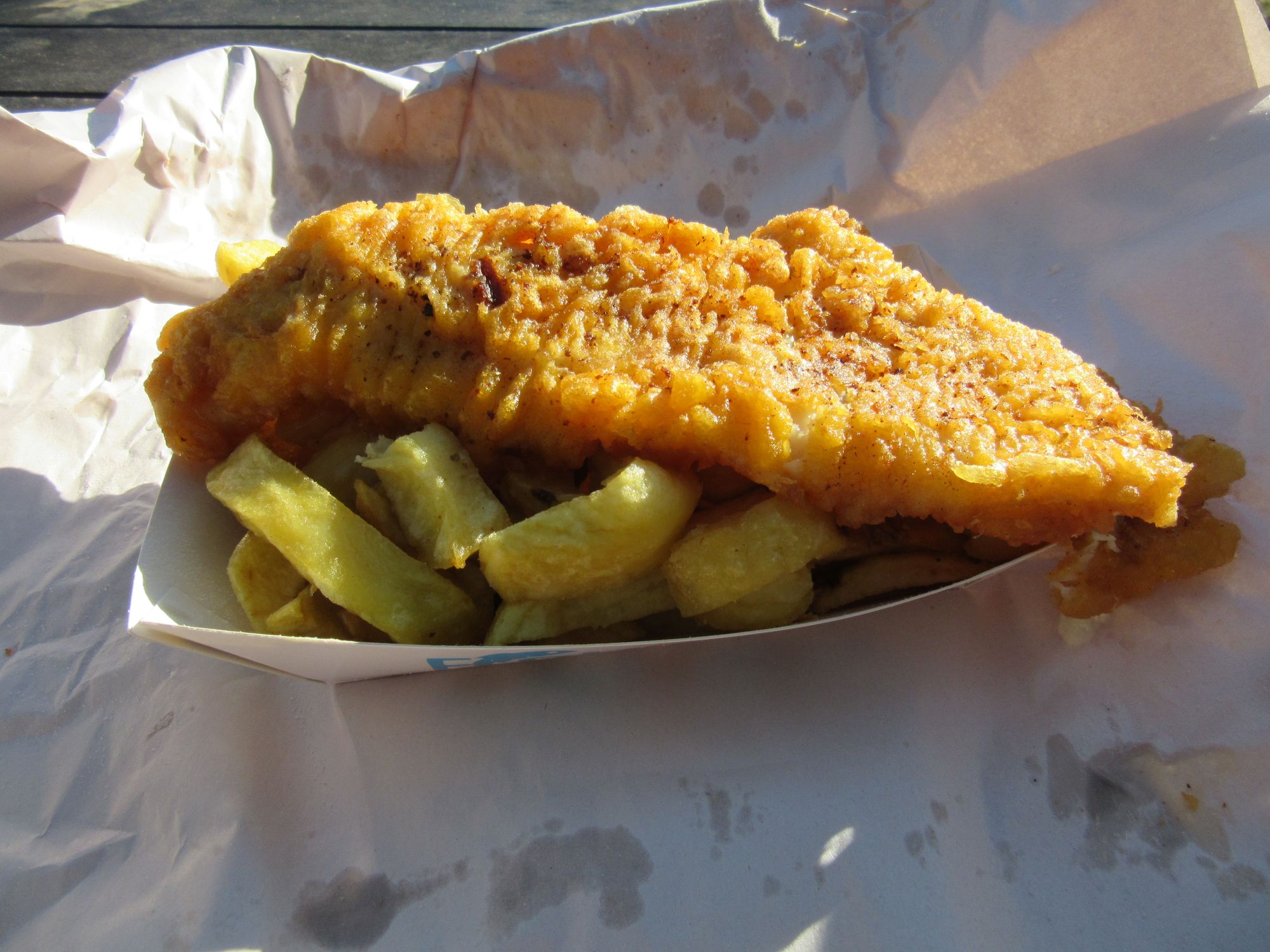
I'd expected to find some TGOCers at the campsite as Ballater is well known to be a hotspot, but there was no-one around. It seemed I'd lingered too long in the mountains and I was a day behind the main pack of Challengers who were by now all over in Tarfside munching bacon butties. My solo backpacking tent sat alone on the camping area surrounded by a ring of campervans and caravans. I was glad of the excellent showers! Fish-and-chip supper.
Into Ballater.
Day 13
Ballater - E on Deeside Way to Dinnet - cross River Dee on B9158 - briefly W on B976 - minor road to Netherton then S to Newton - path SE to Glen Tanar - bridge NO477956 - Firnmouth Road S then E around Baudy Meg - SE over Pt.466 to Fungle Road - track S to/around Birse Castle/Ballochan - E on track on N side of Water of Feugh.
From Ballater, it was now a straightforward march to the coast. To beat the heat I made an 06:00 start to plod along the Deeside Way to reach Dinnet in less than three hours.
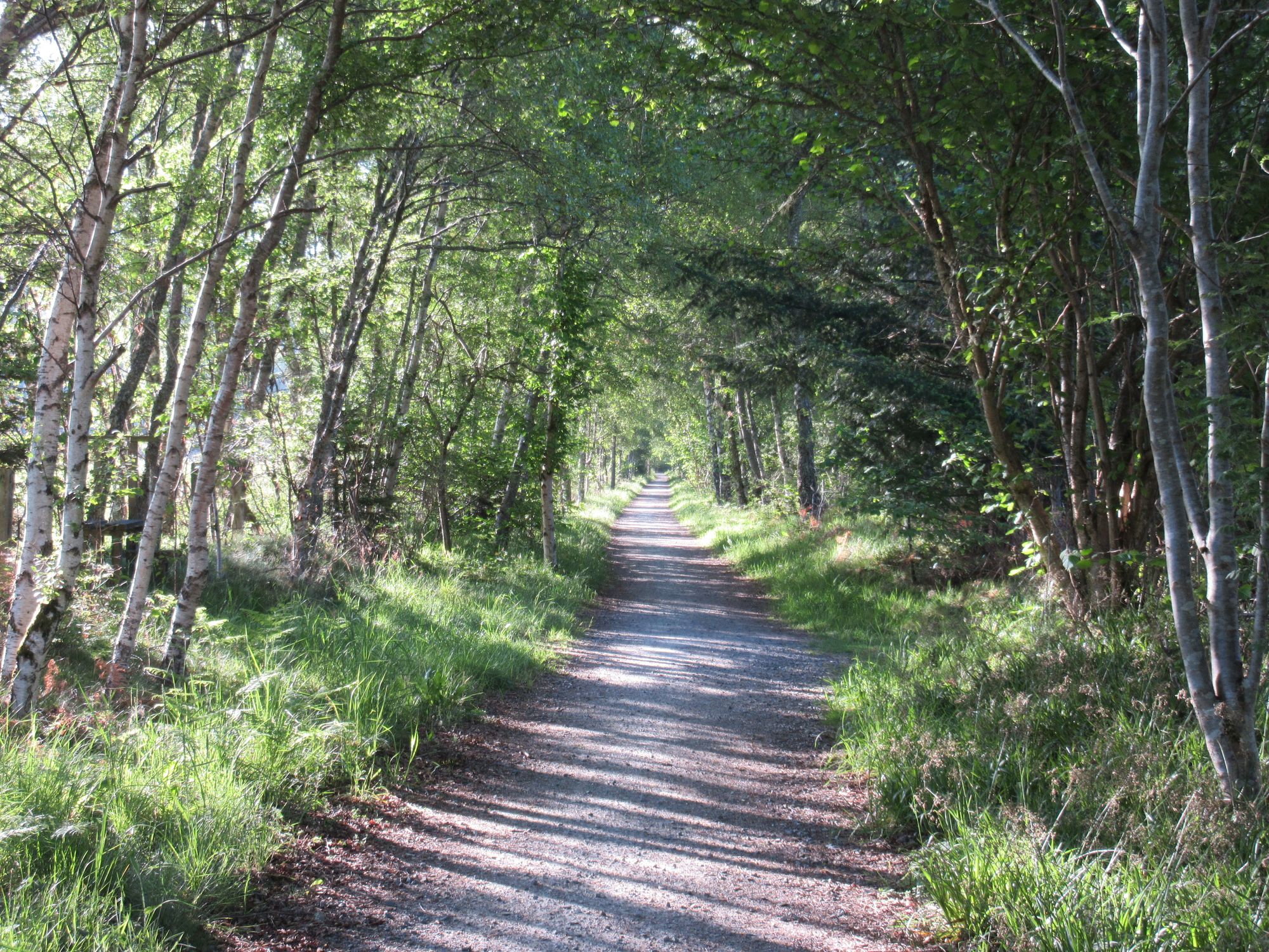
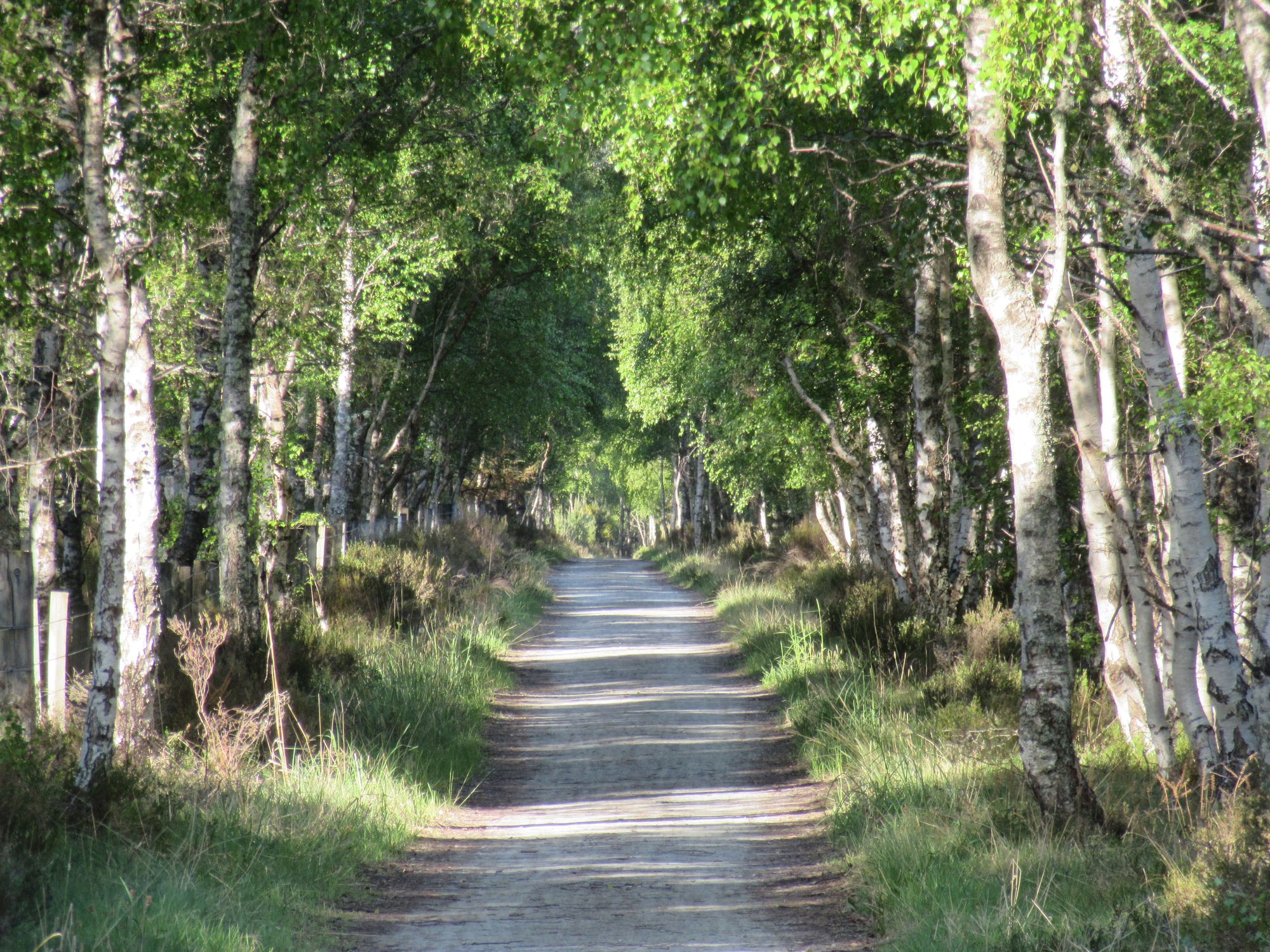
Along the Deeside Way.
From there I turned southeast and made my way along farm tracks to Glen Tanar where a ranger ambushed me and briefed me about the "aggressive Capercaille" issue in the area. He was also keen I avoid nesting Ospreys on the north slopes of Baudy Meg - where I'd intended to take the track - and pointed me towards the Firnmouth Road passing to the west and south of that hill instead; that turned out to be a good idea as it gave me more walking in shade in the woods on an increasingly hot day. A couple of side-tracks leading off into the Capercaille danger zone were well taped-off with warning notices!
Into Glen Tanar.
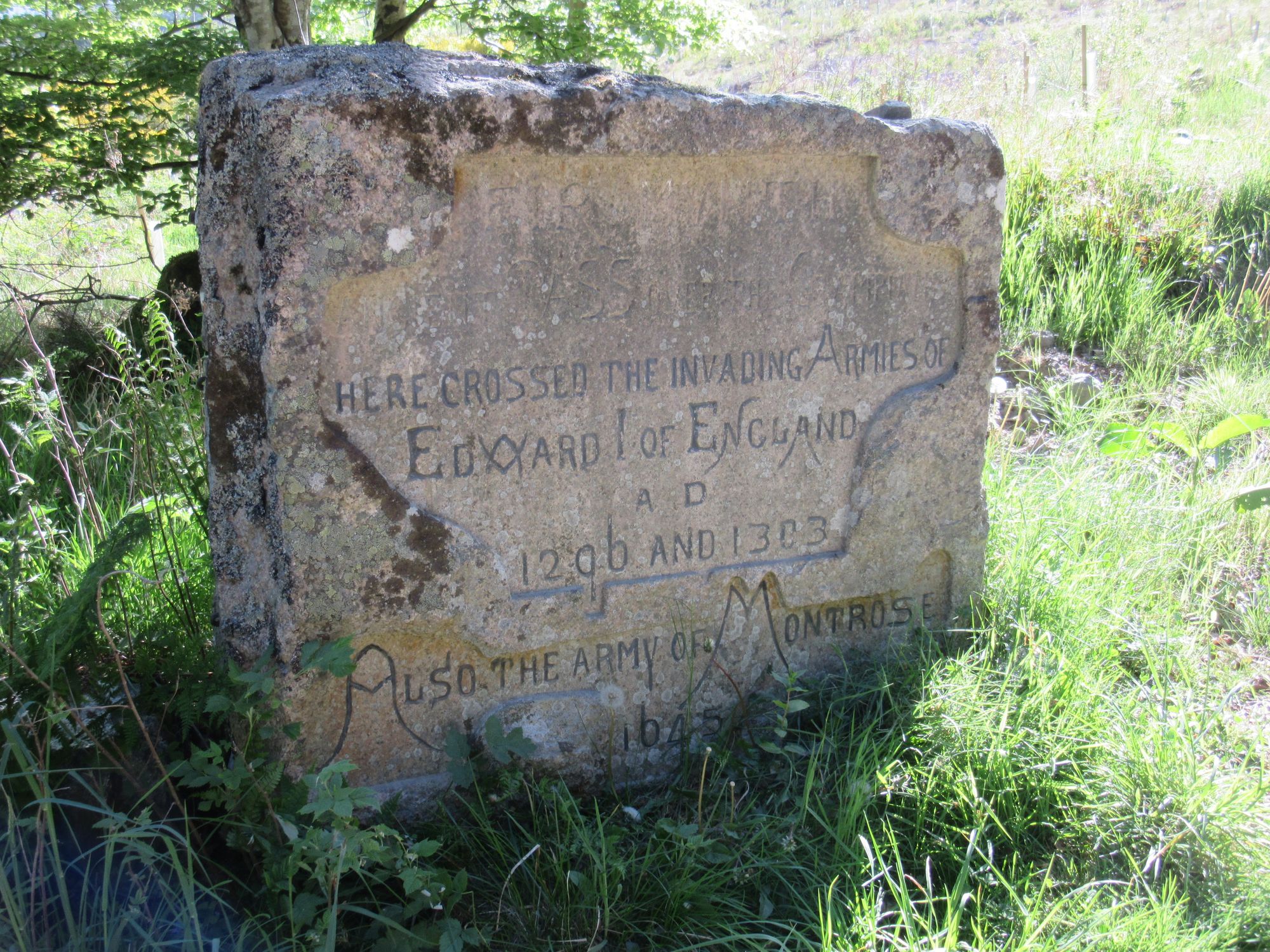
Emerging from the Glen Tanar Forest onto the high ground, I soon left the track and headed off cross-country over some rough and ridiculously thick heathery country to reach the Fungle Road at Black Moss. Along the way I encountered a couple of curious ball-on-pyramid memorials, apparently commemorating a long-range stag shot. I took a closer look at them hoping they might have a bit of a path trodden to them, but no... the going was just as tough!
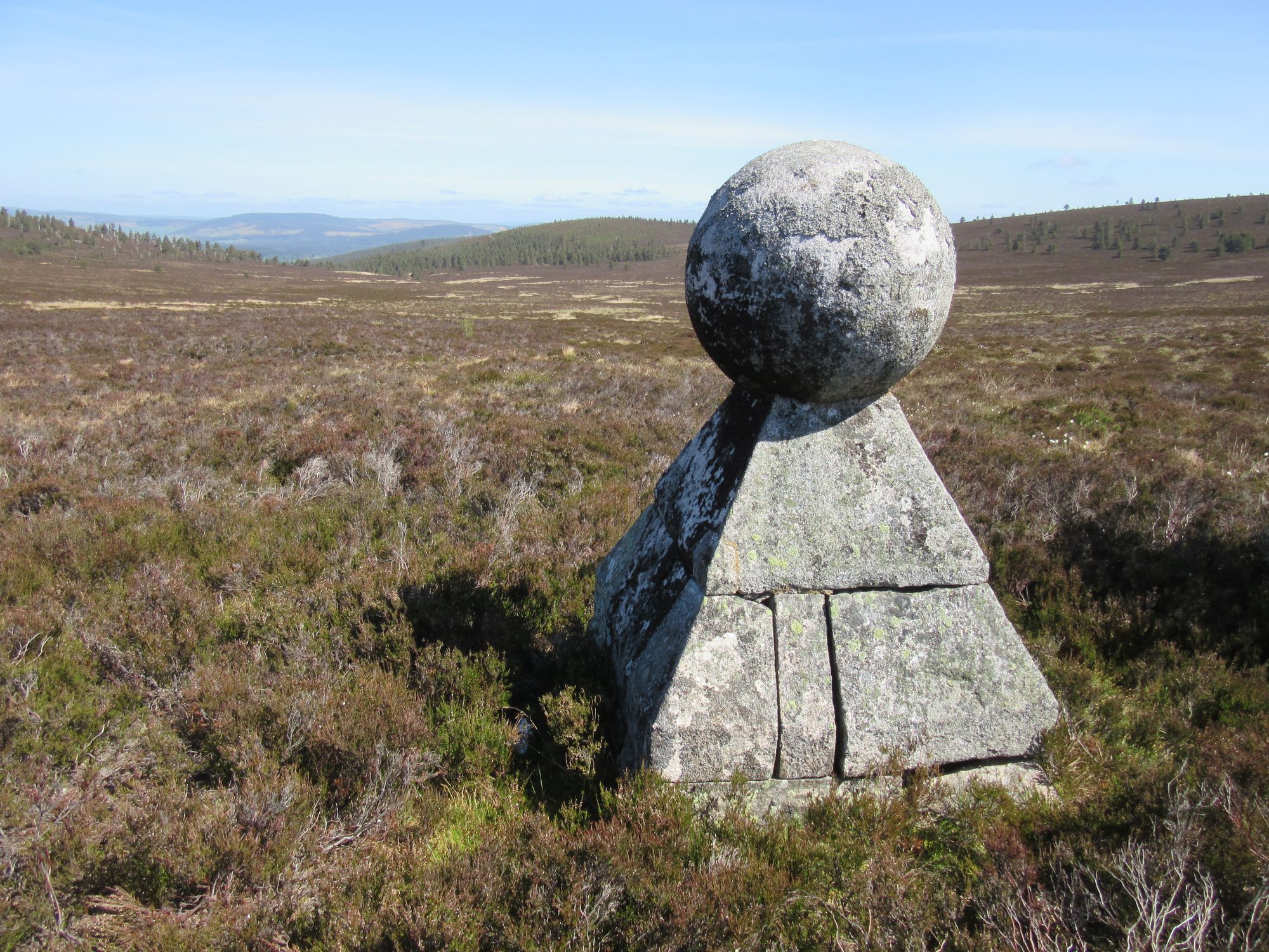
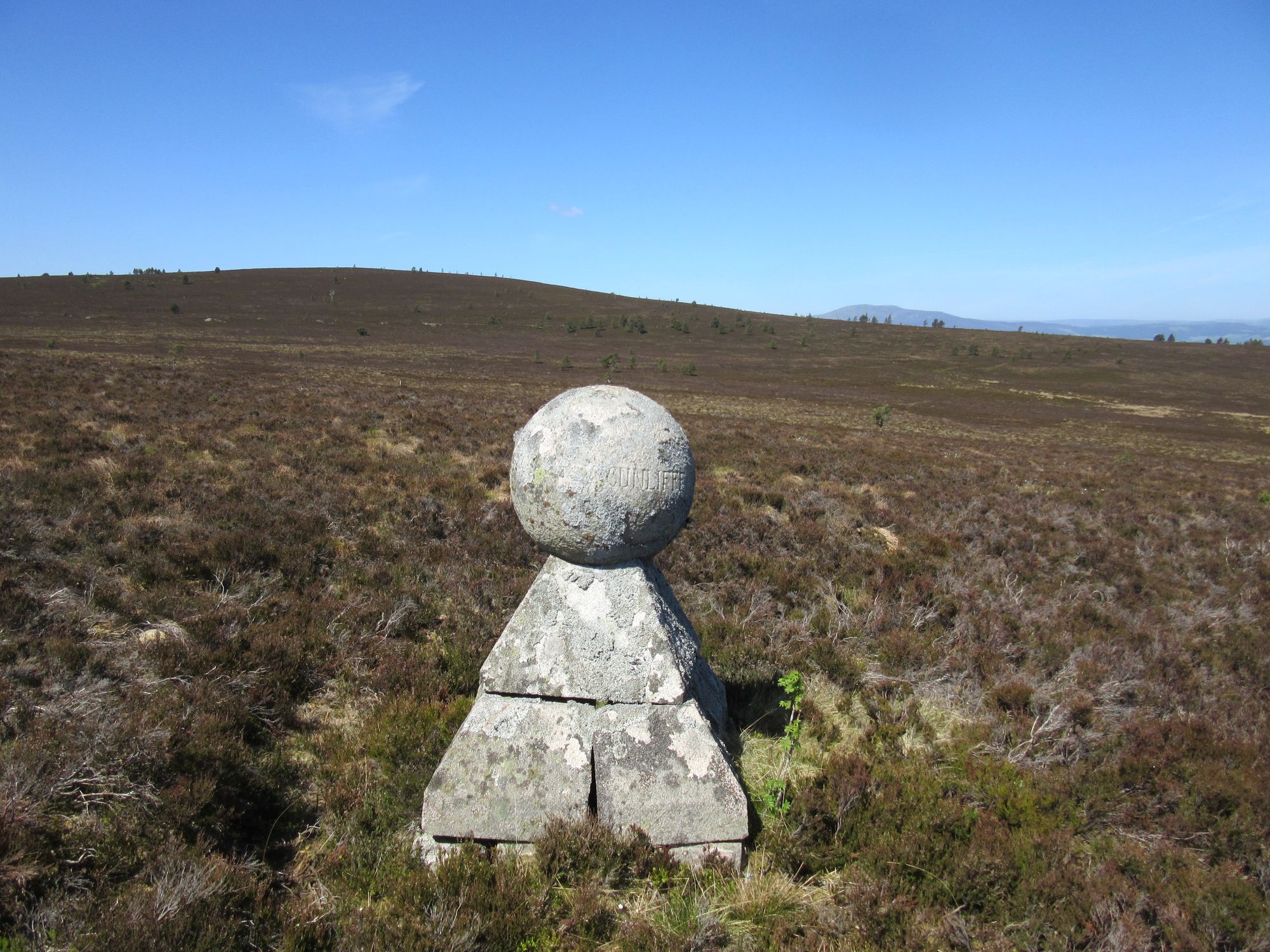
The "Haunted Stag" commemorative orbs.
The Glen Tanar ranger had been quite disparaging about a neighbouring estate's heather burning practices, but when I eventually reached some shorter growth I was very glad of the easier going! I followed the Fungle Road down to Birse Castle and took the signed path skirting the grounds to reach the road besides the Water of Feugh.
Along the Fungle Road and around Birse Castle.
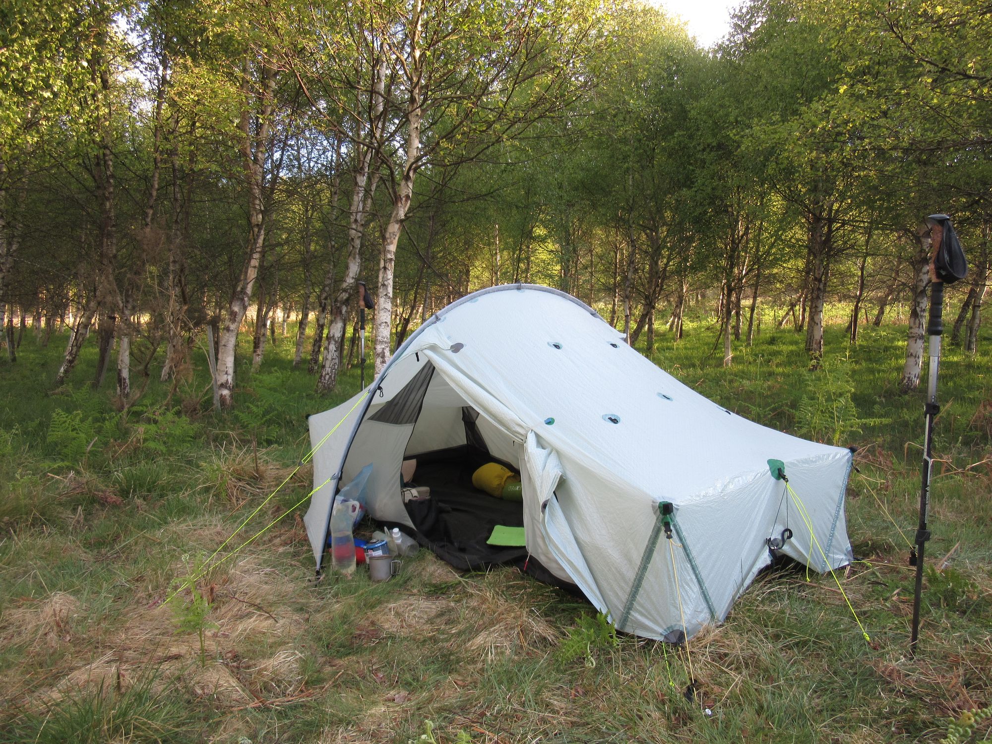
I followed that for a while, looking for a promising camping spot. The north side of the burn where the road was didn't have much to offer but I eventually spotted a woodland on the other side that looked interesting. The burn was crossed fairly easily with a bit of rock-hopping and I found a level spot out of sight of the road amongst what looked like a relatively young birch plantation (I vaguely remember there might have been a decaying sign identifying it as a millennium project).
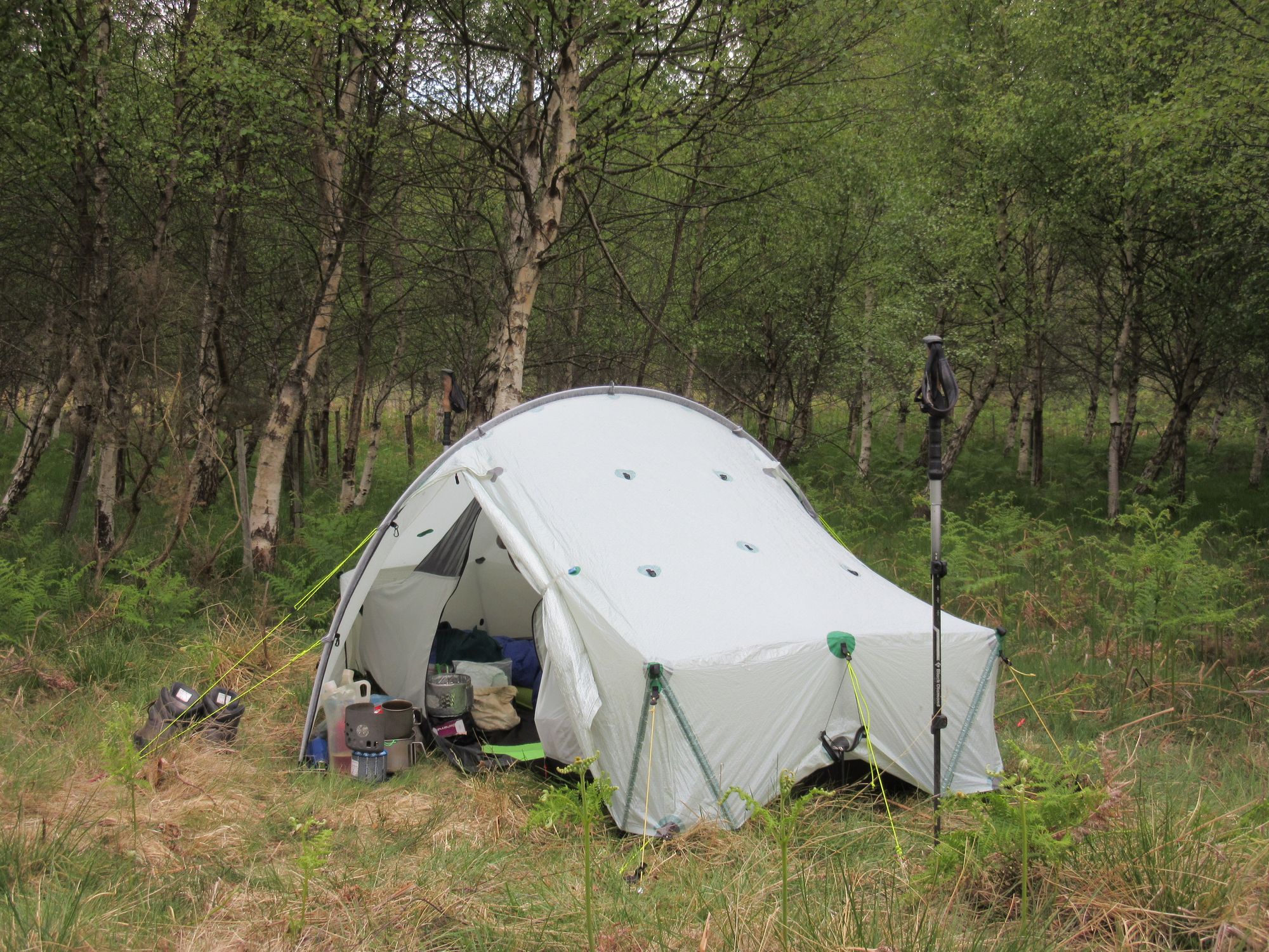
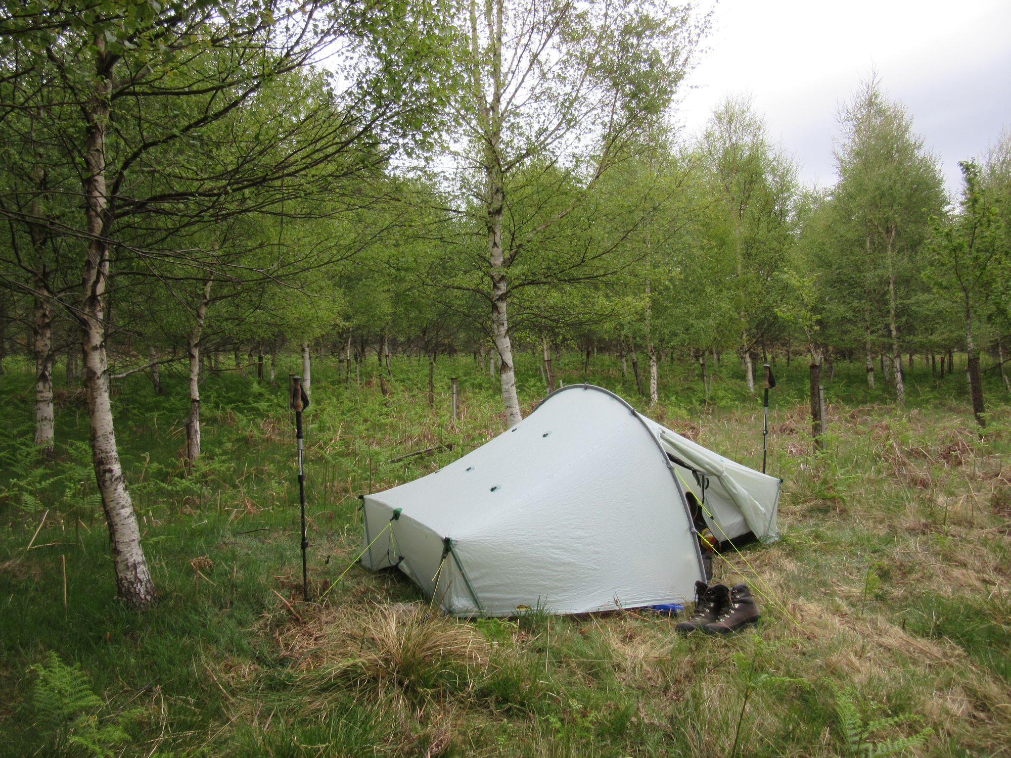
Camped in a wood along the Water of Feugh.
It was cloudy, so I did not feel I was missing anything by not camping higher. It was also the first significant midge I'd had; not too bad, but I did cook dinner with the fly zipped closed.
Day 14
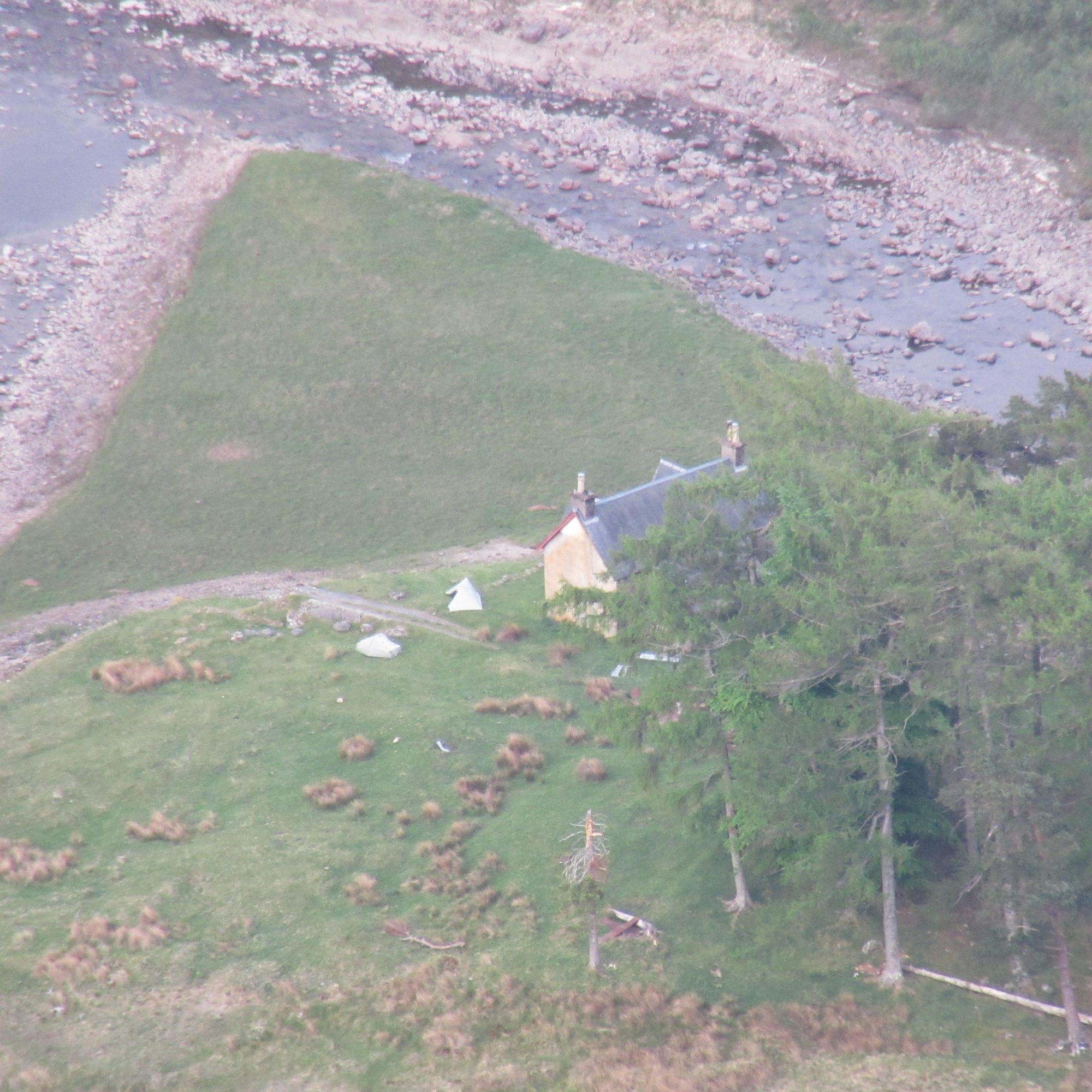
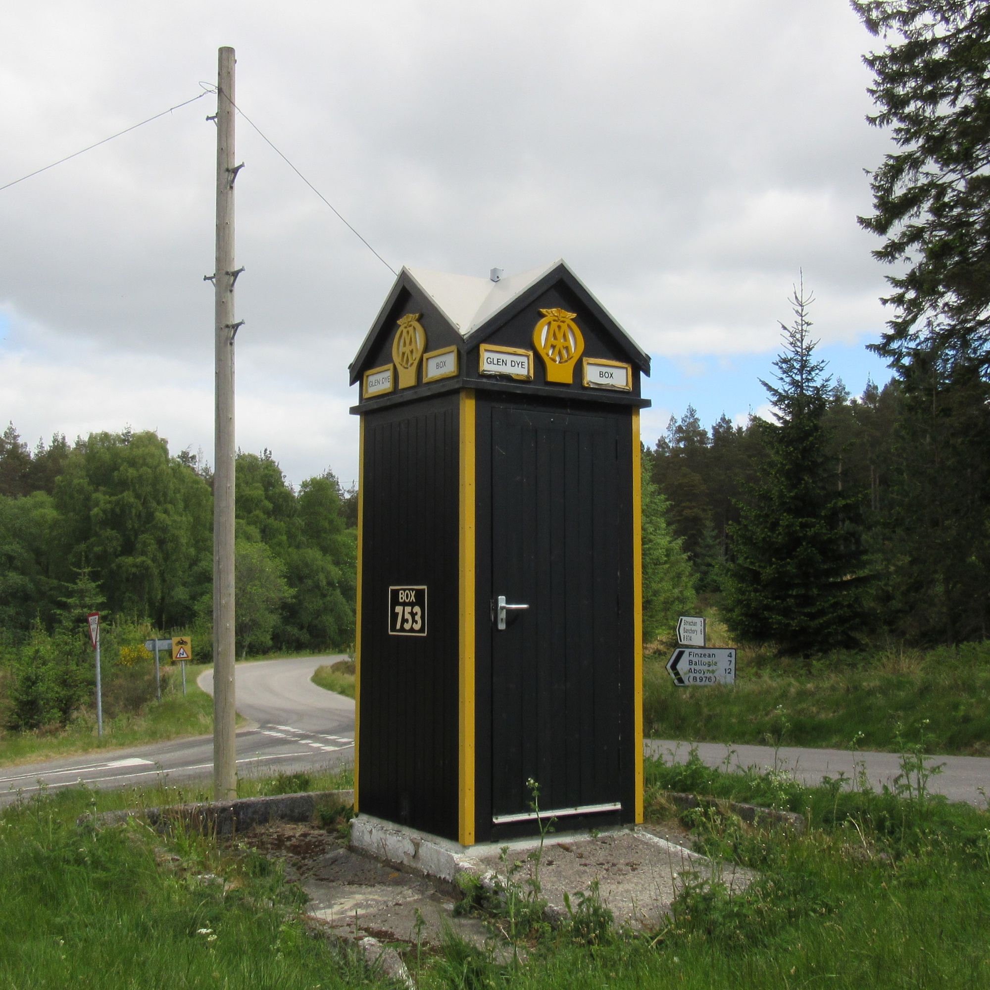
Beside Water of Feugh - track/road E Finzean Sawmill - SE to Wester Clune, Tillyorn and past Bogmore - Water of Aven (ford) - E to The Drummels - S then E track N side of Burn of Greendams - briefly minor road S to meet B974 - S on B974 to ~1km past Bridge of Dye - E on forest track over Garlot Hill to forest edge - path to windfarm tracks - South Dennetys - Mid Hill - E to forest tracks W of Leachie Hill - N then W in Fetteresso Forest to near Stonehouse.
A last long penultimate day to get near enough Stonehouse that the last day would be a short amble into town and give me plenty of time to get a bus or a train to Montrose.
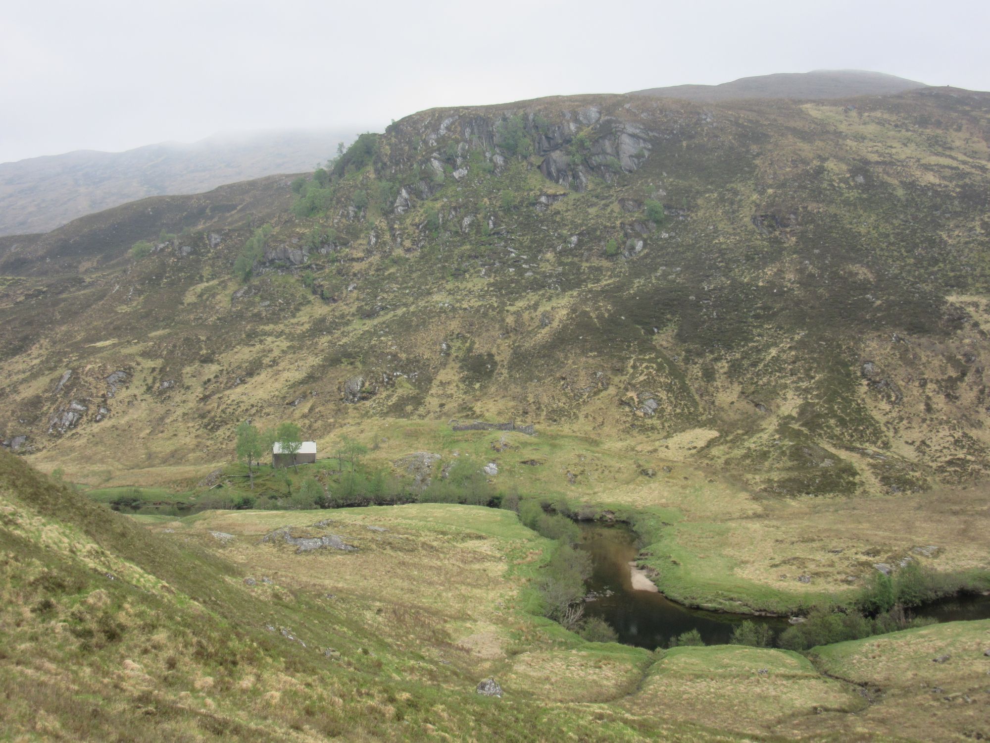
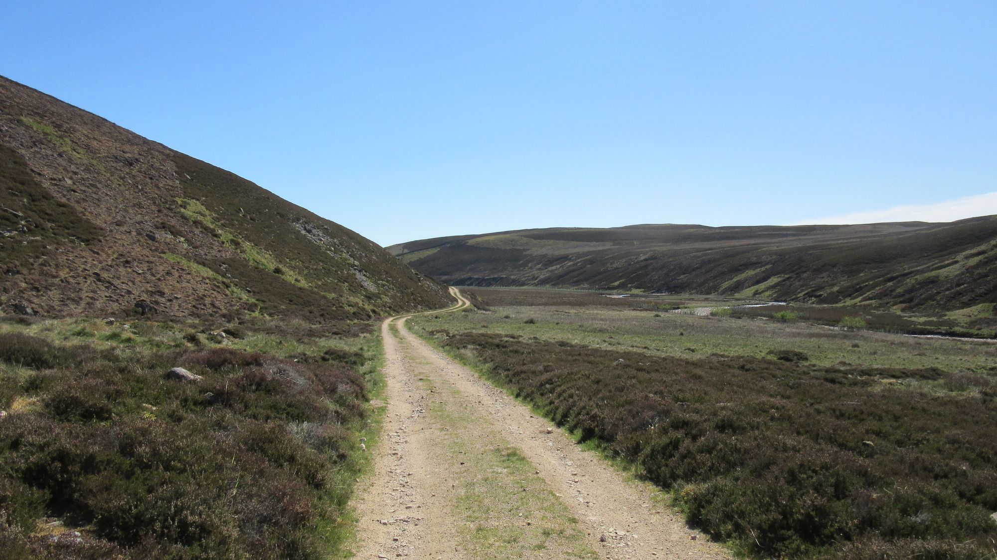
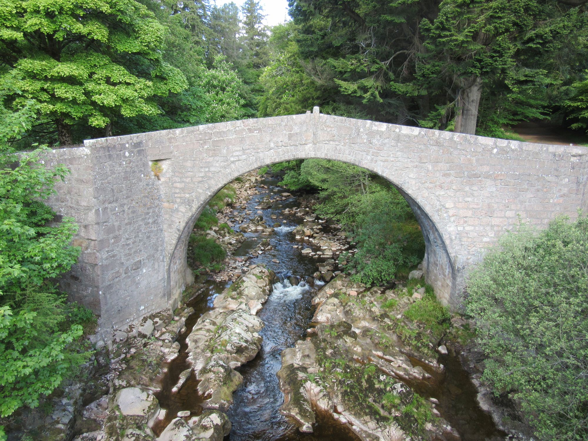
I returned to the road across the Water of Feugh and wandered along east to the "Bucket Mill", which I should not have been surprised to learn was once a place where buckets were manufactured. Further east, leaving the road for farm tracks I made my way up to and through the south end of the Wood of Easter Clune; a little light drizzle was the nearest to rain I'd had while walking on the route, and it wasn't worth getting the waterproof out for. From there I descended to cross the Water of Aven at some stepping stones (would probably be a much more formidable obstacle in wetter conditions; I'd had my final bit of Foul Weather Alternative route planned here in case it was likely to be in spate). Tracks through forest then led me to the B974 and some road walking took me to the Bridge of Dye, where I met - crossing it in the opposite direction - a Canadian Challenger I'd previously met at Dalwhinnie Hostel.
Along the way to the Bridge of Dye.
A little to the south of the bridge I turned onto a track into the vast expanse of the Fetteresso Forest.
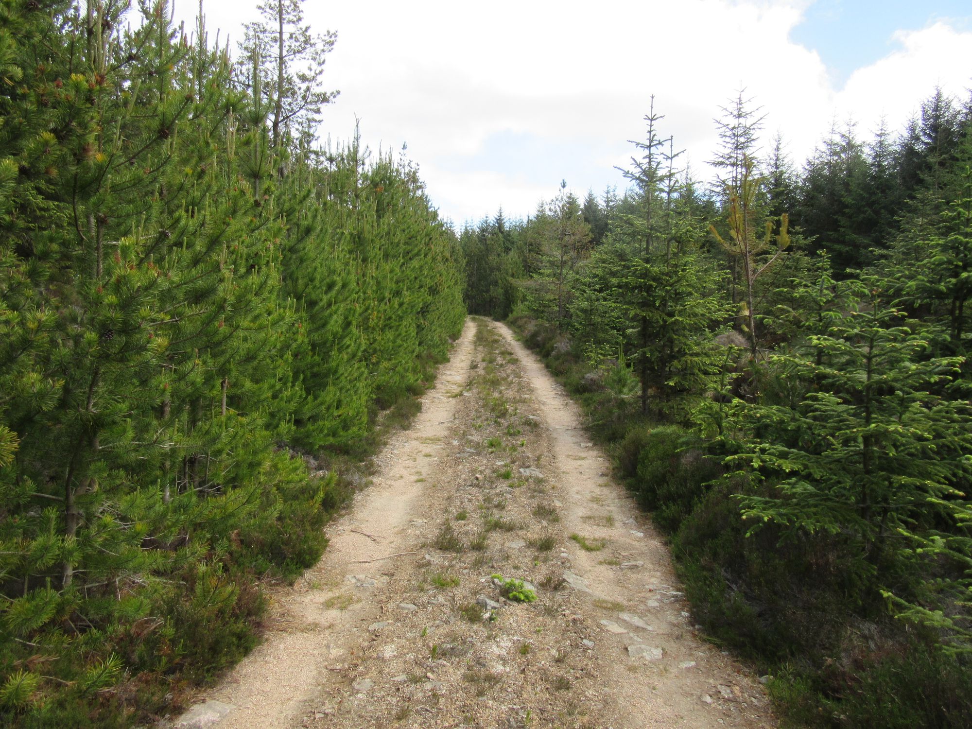
Fetteresso Forest. Quite a lot of this sort of thing.
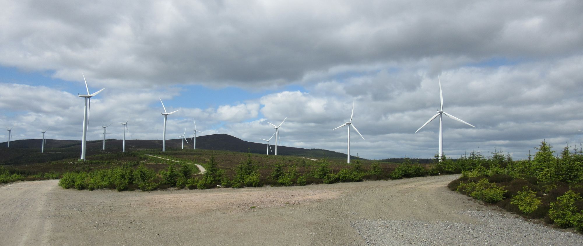
The high ground with the wind farm was crossed and I followed the wind farm access track (some vans coming and going; it looked like one of the turbines was getting a lot of attention) down to a junction where I caught up with another couple of Challengers. There was some consternation here as forestry operations on the slopes above us to the north had barred the continuing track with "no unauthorised access" signs and barriers. With no obvious alternative except forest bushwhacking or what looked like a huge detour using other tracks, we decided the Scotways' Right of Way sign was the only "authorisation" we needed and pressed on regardless. Fortunately the supposedly out-of-bounds bit of track was short and the right-of-way soon diverged to follow the Cowie Water.
What's all this nonsense then?
I camped in a large clearing just west of Stonehouse which is recommended in a TGOCer's "Fetteresso Forest Guide" as one of the few decent places to camp in the area. The noisy forest operations continued nearby until 07:30.
Consuming the last of the supplies.
Day 15
NO767877 - track/road E to Snob Cott - bridge at NO806883 - E on minor road past Chyne Hill to Kirktown of Fetteresso - Stonehaven Harbour - Station for train to Montrose.
The forestry operatives were back at work well before 06:00 so there was no excuse to not get moving early. I continued east to gain a minor road at Mergie, and followed quiet roads and some tracks near Fetteresso Castle into Stonehaven. At one point a passing van driver stopped to ask why there were so many people around carrying big backpacks; maybe they'll be a new recruit for the event!
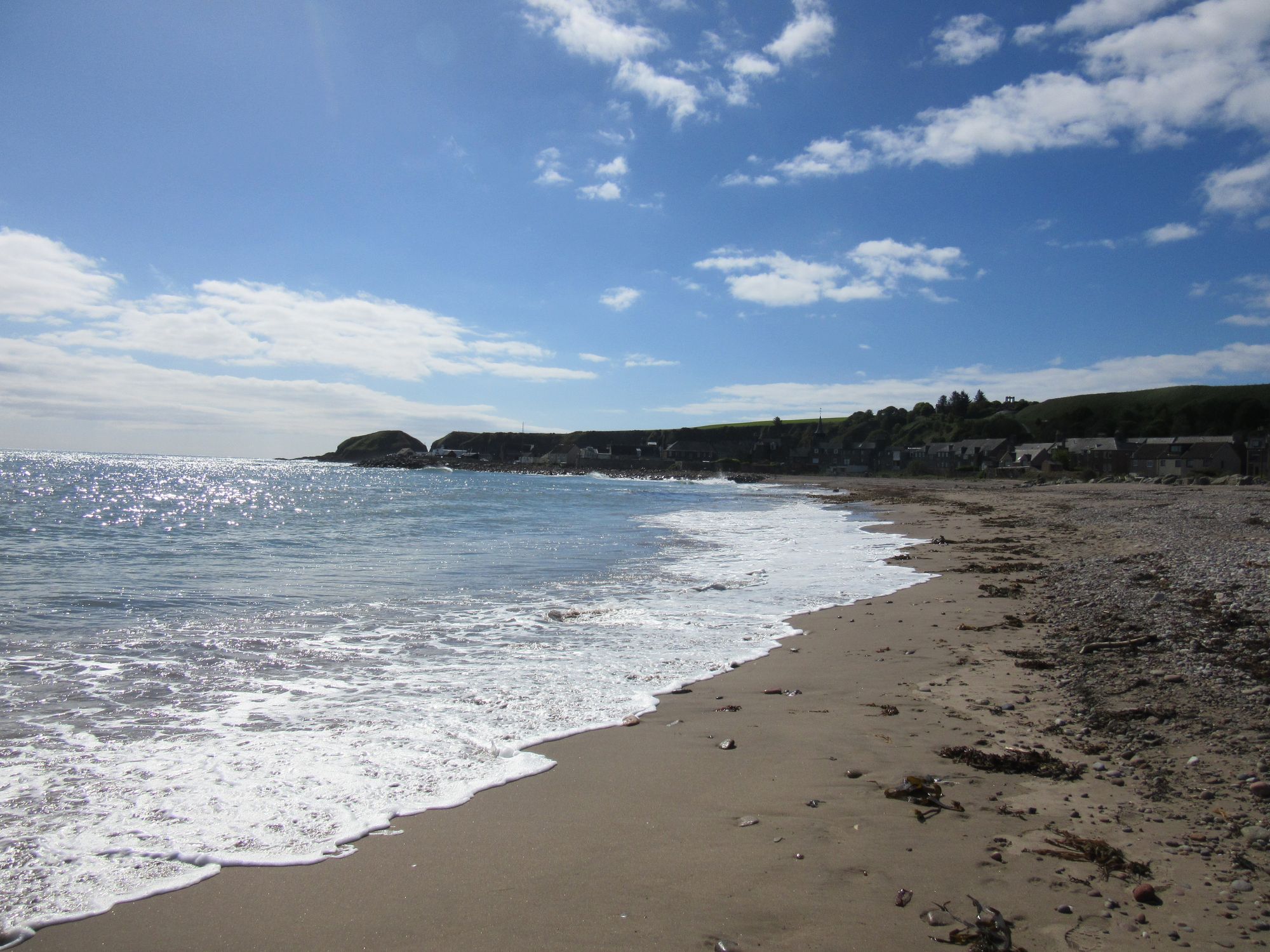
Tracks and roads into Stonehaven.
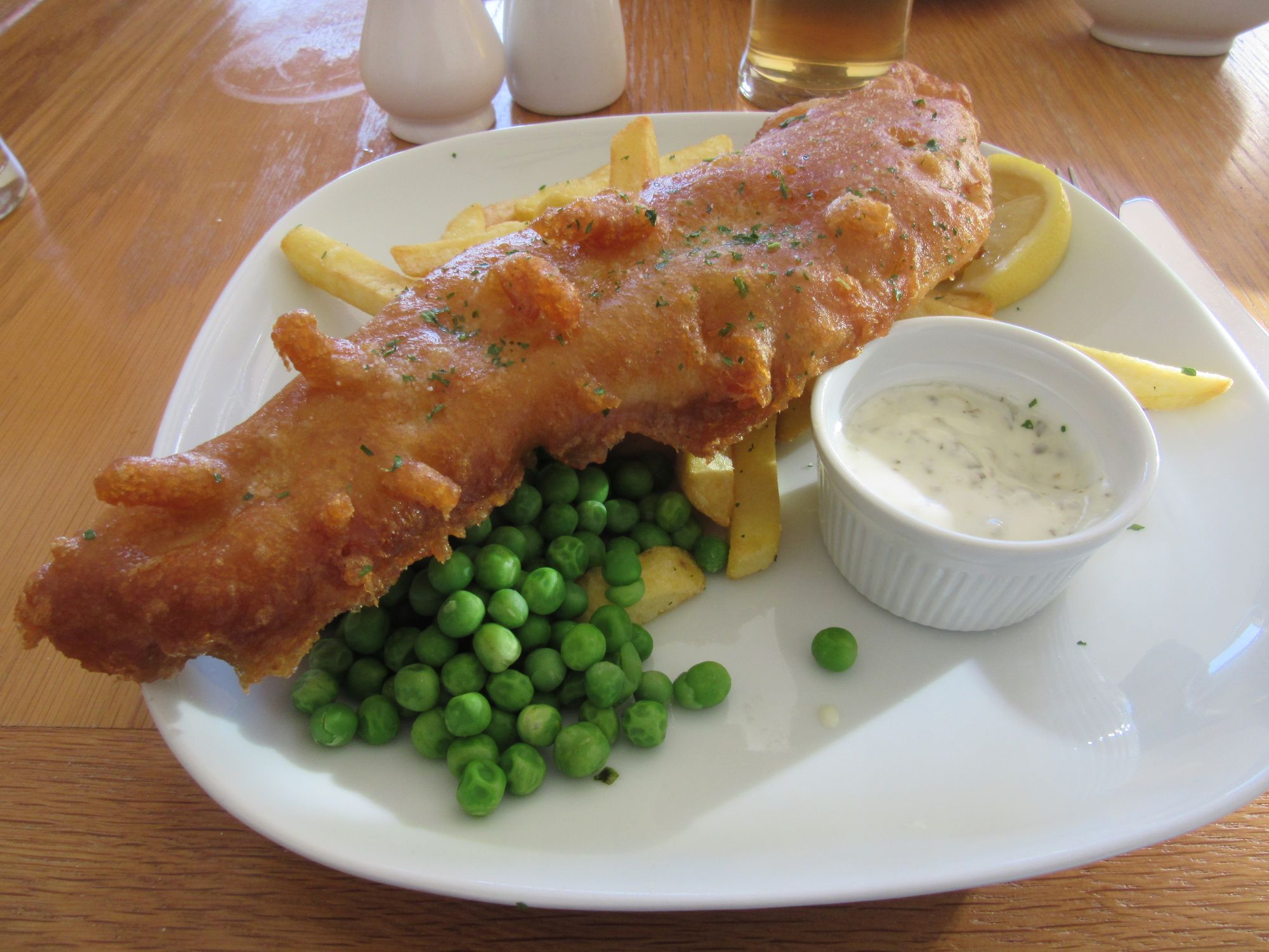
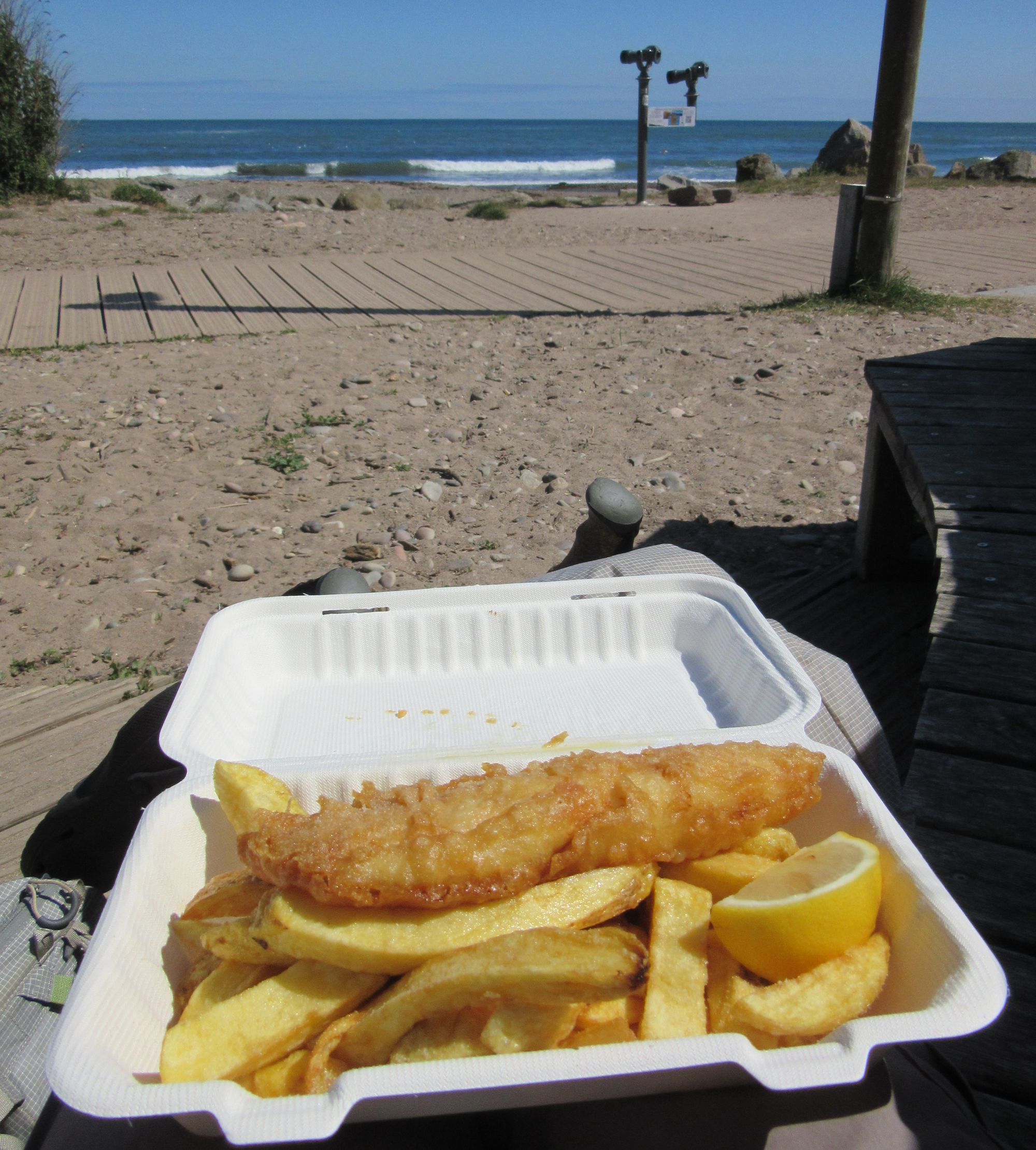
Fish and chips at the beach, a chat with some other Challengers also arriving to dip their boots in the sea and then I got on a bus to Montrose to sign in with Challenge Control.
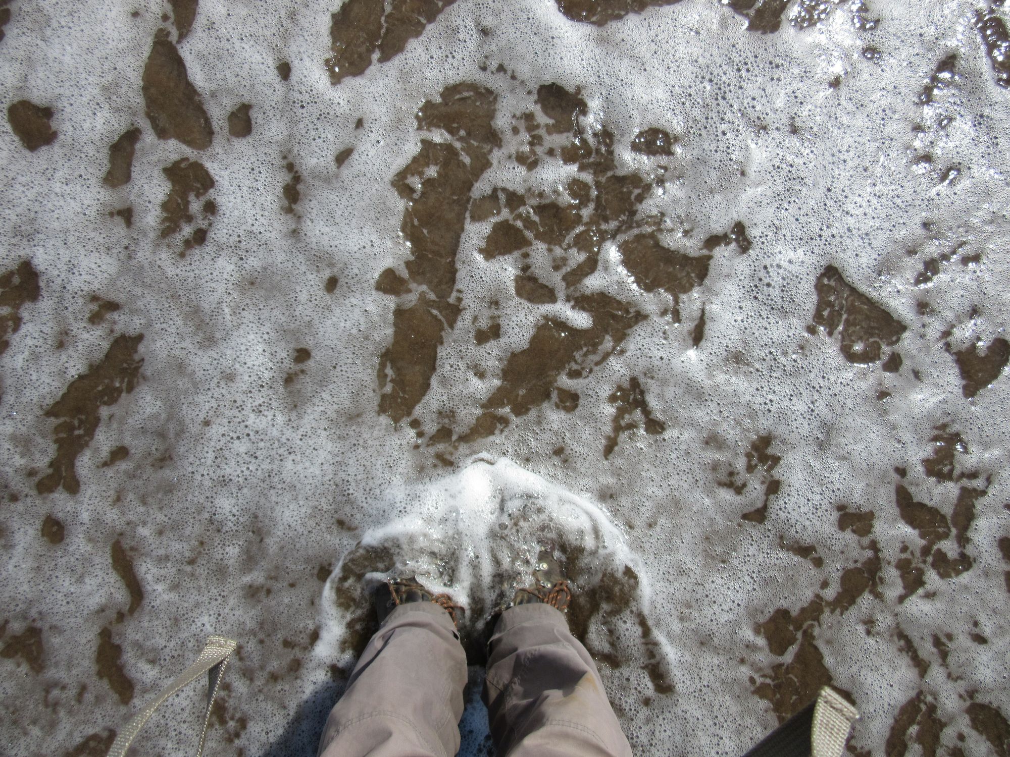
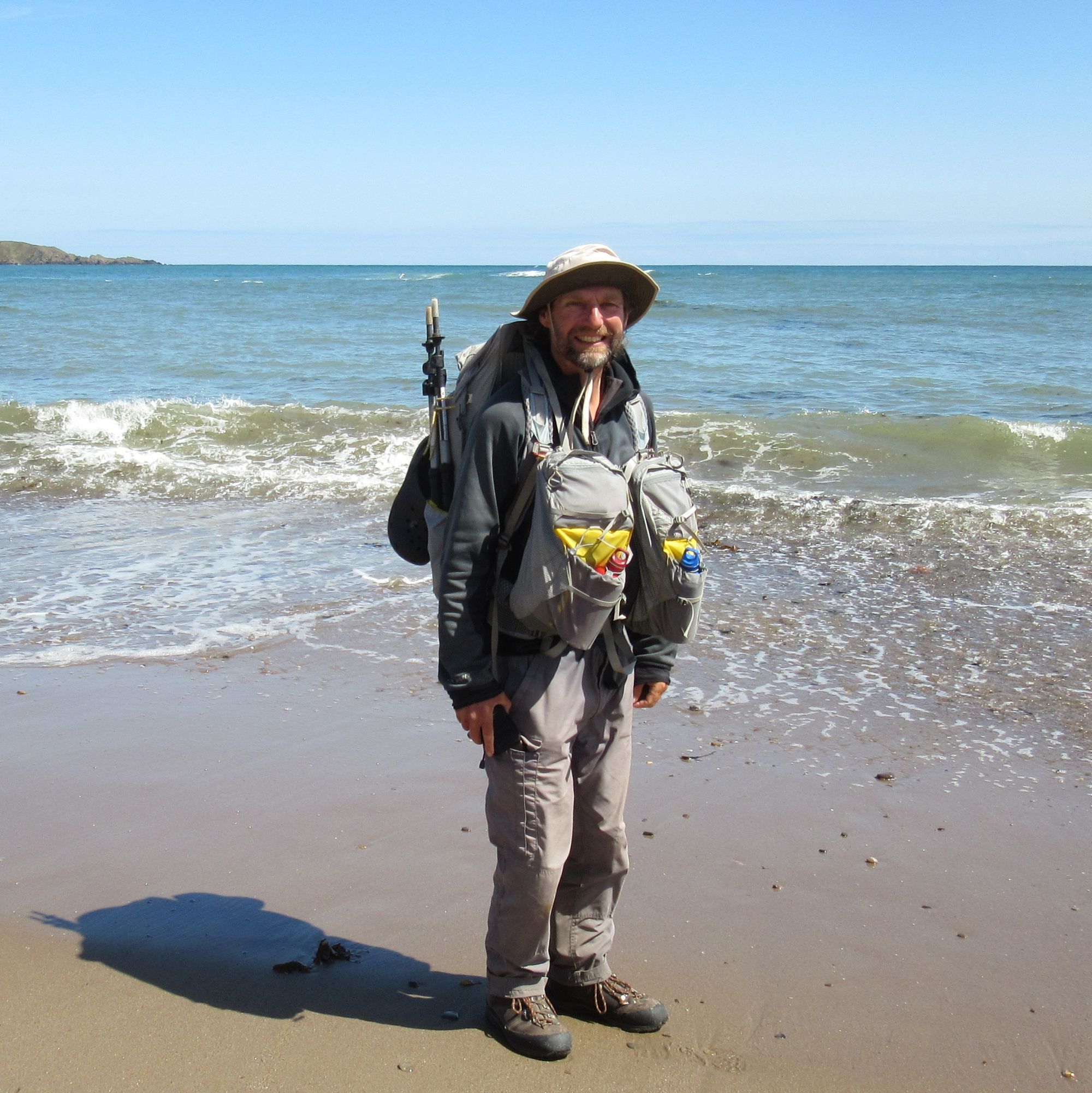
And here we are at last! Into the sea at Stonehaven, refuel, then a bus to Montrose to sign in with Challenge Control.
Epilogue
Some numbers
Of 14 nights on the trail, I spent 12 of them wild camped, one night in a hostel (Dalwhinnie) and one night in a campsite (Ballater).
Of the 12 wild camps, 9 of them I'd consider summit camps: Sgurr Dhomhnuill (888m, C), Beinnn na Gucaig (616m, G), Meall an t-Suidhe (711m), Sgurr Choinnich Mor (1094m, M), Creag Ghuanach (621m, G), Geal Charn (1132m, M), Carn Dearg Mor (857m, C), Carn na Criche (1265m, MT), Leabaidh an Daimh Bhuidhe (Ben Avon; 1171m, M). The other three were lower level, although the one by Loch Avon still at around 730m.
Total "bagging" haul for the trip was 20 Munros (and numerous associated Tops), 3 Corbetts and 4 Grahams.
Total distance for the main route on my route sheet was 348km, an average of 23km/day over 15 days. Total ascent was 16100m, an average of 1070m/day over 15 days. The longest days were the last two full days where I did 29 & 33km. Unsurprisingly the days with the biggest ascent totals were those going over the 4000ers: 2050m ascent on the Lochaber ones, and 1660m in the Cairngorms (the latter ended up being defused slightly by starting it from a higher camp than planned, although crossing the Lairig Ghru at a lower point offset much of the gain).
Equipment
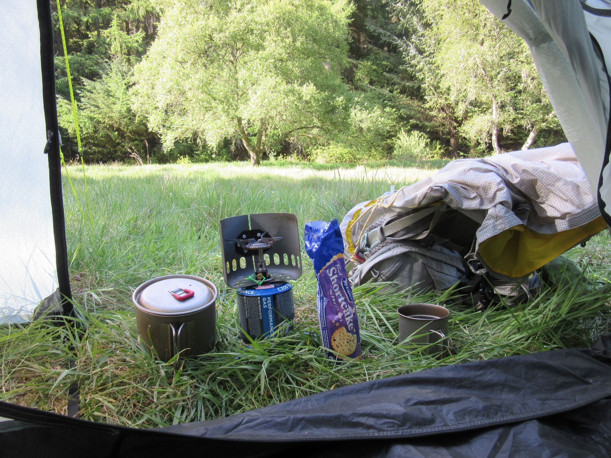
This was much the same as last year. Main items were:
- Tarptent Scarp Ultra. The Ultra TNT material is a bit weird, but its stiffness results in an incredibly robust tent for summit camping in exposed windy conditions.
- Exped Ultra 3R M Mummy air mat with pump bag and repair kit.
- PHDesigns "triobag" - an experimental product in 2018 and not offered again since, so far as I know.
- Aarn "Natural Balance Pro" pack with "expedition" balance pockets. Last year I used an older Aarn "Featherlite Freedom" pack, but I'd since got hold of this larger model for winter and/or trips with the dog where a bit more space is useful. It's such an improvement - just multiple minor details rather than anything significant - over the older pack that I just had to use it on the TGOC; I found the extra space was useful for swallowing all of my bulky Ultra tent, my Crocs and space-gobbling things like a multipack of Hula Hoops from Fort William Morrisons.
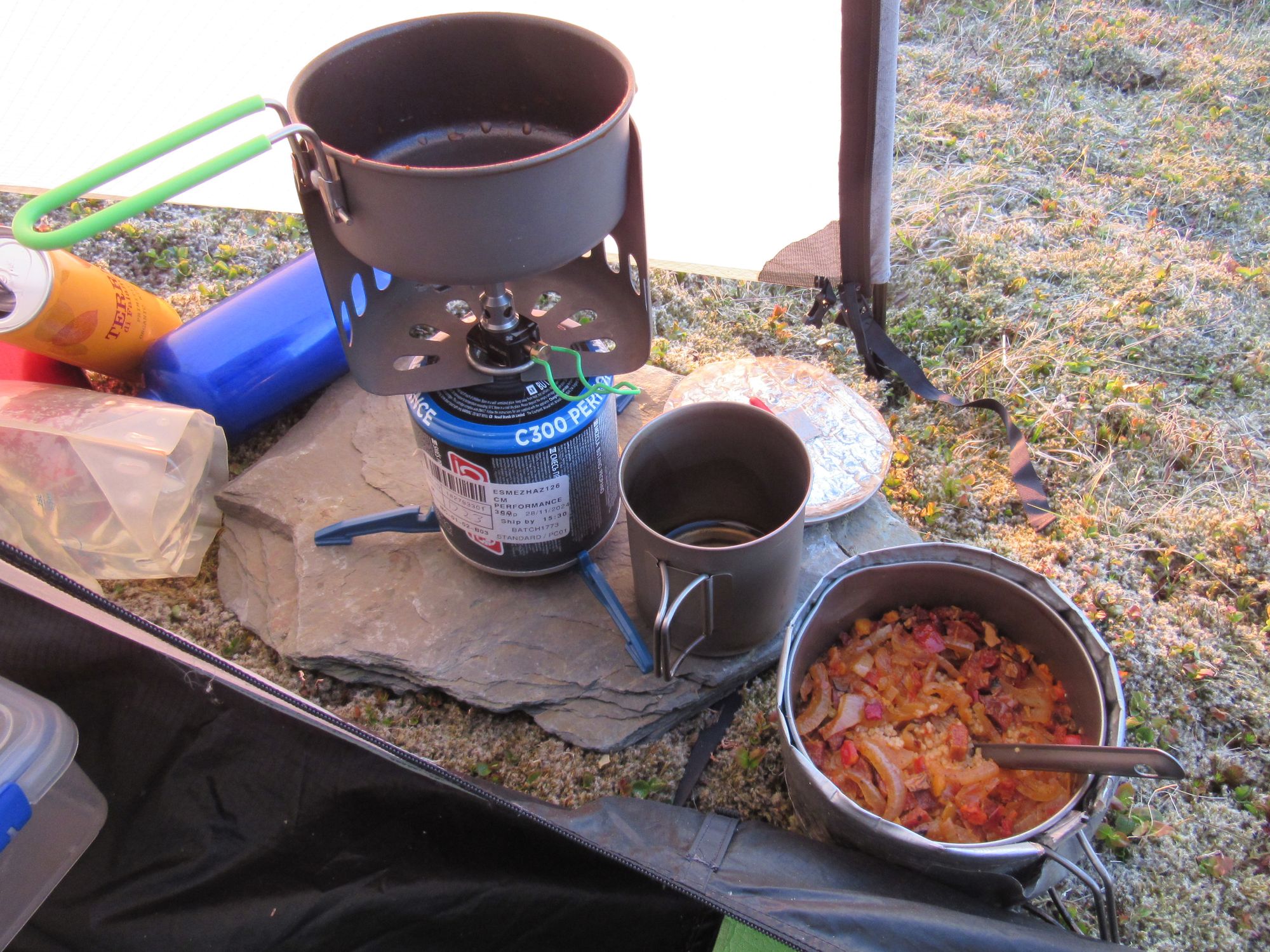
- Optimus Crux stove, MSR "Titan" pot and mug and a small Optimus non-stick frying pan and Optimus wind-shield. (The frying pan is an addition since last year; I've gotten more into cooking stuff rather than eating freeze-dried and a non-stick pan is better than having food burnt onto the bottom of the titanium pot; I also switched to the Crux stove from a Pocket Rocket because the wider burner spreads the heat over a pan base better).
- Alpkit "Hippo" water filter. I don't normally bother with a water filter on trips in Scotland where I'm at altitude and away from livestock and civilization, but as that wasn't the case for all of this trip I did take an Alpkit "Hippo" water filter along and used it in a few places.
What would I have done differently?
Very pleased with how this route worked out. The last few days in the east did seem a bit of out of keeping with what had gone before though; a more truly high level line across Scotland would have been better if it incorporated the natural line of hills I'd followed east from Mount Keen last year, but obviously I didn't want to do the same again. I'd rejected a lot of ideas in the planning stage which all seemed to need just one more day than the fifteen allowed by The Challenge, at least without introducing some unacceptably long (to me) days elsewhere. That included some route ideas trying to break the big multi-4000er crossing days into more than one day; I just couldn't make them work though. In the end along-the-way adaptations like those made at Braeriach and Carn na Criche worked out well though.
Back again next year?
Oh yes! But I'll probably try to explore some more new-to-me territory than do another Munro bagging epic. And I'm anticipating that my luck with the weather so far must surely run out at some point!