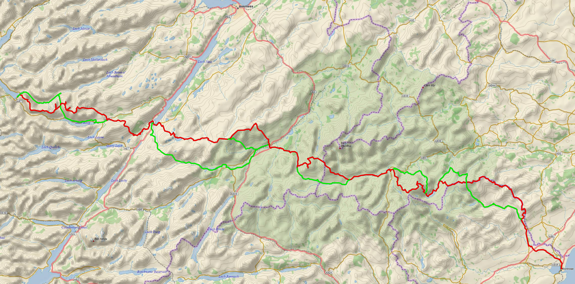
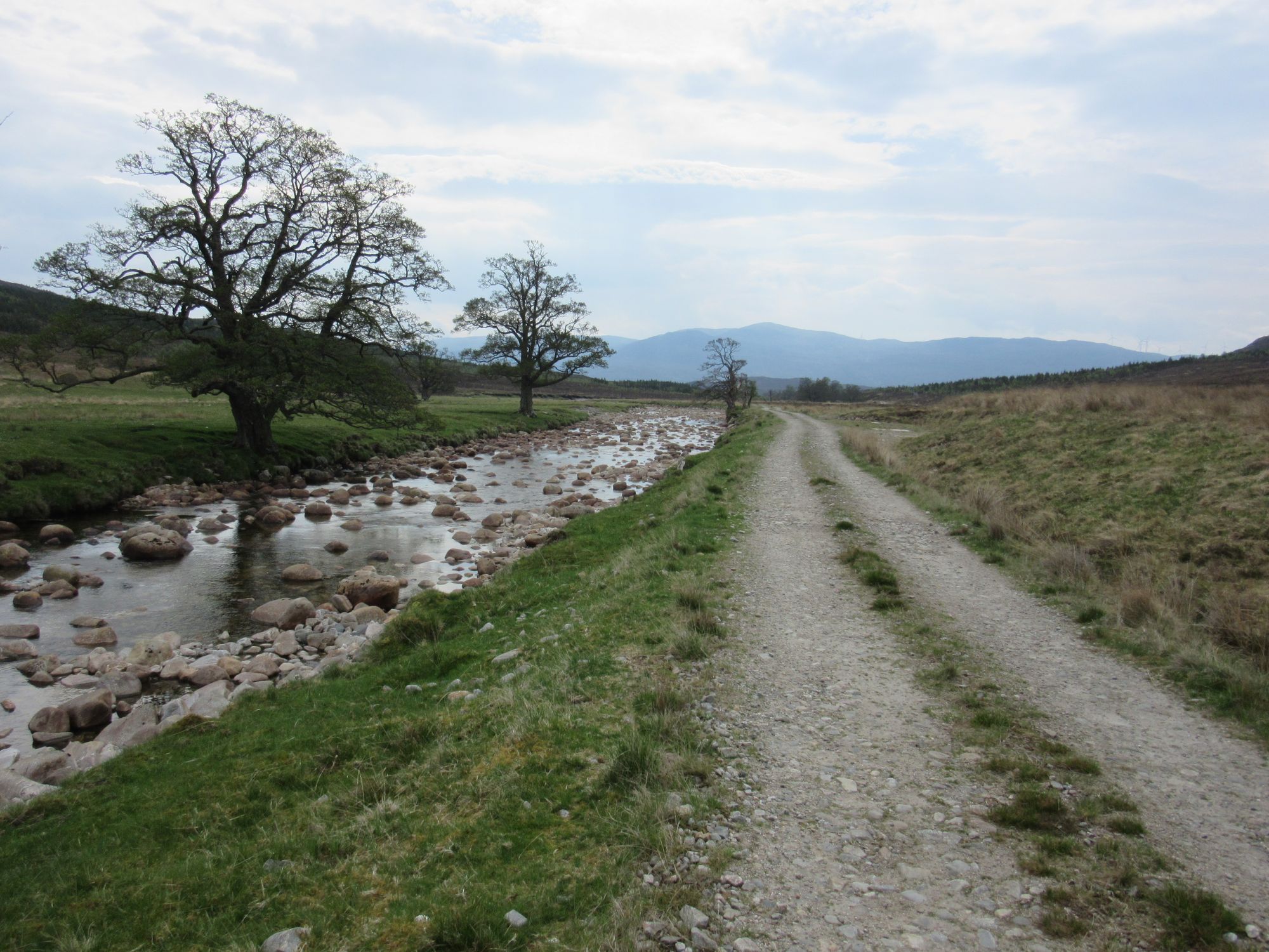
TGO Challenge 2024: Shiel Bridge to Montrose
Of the fourteen nights on the trail, I spent eleven camped out: ten of them summit camps including seven on Munros and one on a Corbett. Total "bagging" haul was eighteen Munros, fourteen Munro tops and one Corbett.
Preamble
I think I first became aware of "The Challenge" after moving up to Scotland in 2003; we were quite taken by the novelty of the bothies back then, and inspecting bothy log books would often turn up comments such as "Big TGO crowd in tonight" for the appropriate dates in May, although we never ran into any at first hand. At the time I was a bit puzzled by the idea: if you wanted to walk across Scotland, surely you'd just walk across Scotland and why did it need an organized event? However two decades rolled by and despite doing a lot of multi-day Munro and Corbett bagging backpacking trips in Scotland and other trips abroad I still hadn't walked across Scotland. On returning from a second Pyrenean Haute Route crossing in 2023 I decided it was high time this omission was fixed, and that "The Challenge" would be ideal for providing a much-needed hard deadline for planning and doing it!
The route planning was an interesting exercise. My first thoughts were that I'd simply join up high-level traverses of some of my favourite mountain areas, but it quickly became clear that the constraints imposed by the need for FWA (Foul Weather Alternative) fallback plans and the logistics of resupplying didn't make it quite so easy. It also bought it home to me just how much of Scotland isn't so mountainous: there's quite a lot of less well known wild land needing a route planning across it to connect the more familiar spiky bits.
My HRP experiences had previously gotten me interested in whether there were any particularly "recognized" high-level coast-to-coast routes across Scotland. The term "Scottish Haute Route" seemed to have been largely appropriated by Scottish ski-tourers and a few long walks connecting the Cairngorms to Lochaber, but I subsequently - when I was already well into planning my own route - stumbled on a route described as "Scotland Over The Top" which I think makes a not unreasonable claim to be "a very good candidate to be the definitive Scottish coast to coast route". I was intrigued to see my own nascent route idea picking out a similar line to that in places. But on the whole I heeded advice - for a first crossing - not to delve into other TGOers' write-ups of their own routes as I wanted this to be all my own creation.
I eventually settled on a perhaps over-ambitious plan taking in 18 Munros, 14 Munro tops and a Corbett, many of which would make a useful contribution to progressing my second Munro round. Between Shiel Bridge and Montrose start and end points, civilization was touched at Fort Augustus, Kingussie, Braemar and Edzell. Encouraging input from an experienced TGOC route vetter was invaluable for clarifying details of some of the connecting sections I was unfamiliar with and for planning escape routes.
The day-by-day descriptions below are adapted from my route sheet to be the staging I actually did: the generally superb weather meant I often cut days short or extended them a bit to make the most of summit camp opportunities, and there were some minor variations from the planned route. I've maintained the TGOC route-sheet convention of listing points of significant elevation (>2000ft) in bold. (M), (MT) & (C) annotations indicate Munros, Munro Tops and Corbetts.
Day 1
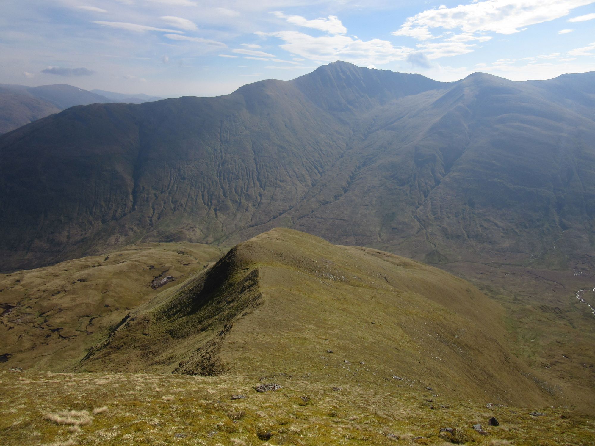
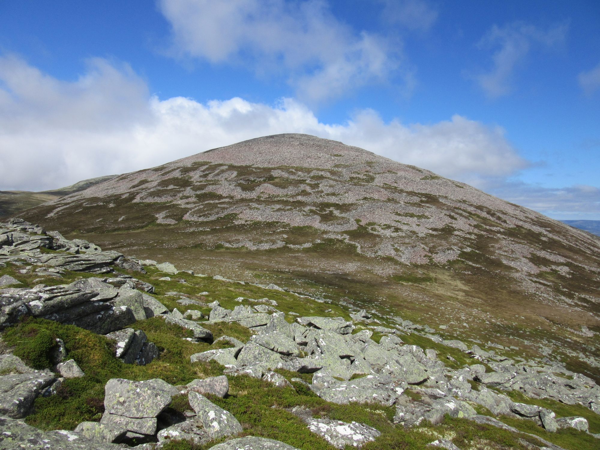
Kintail Lodge Hotel – Allt a’Chruinn – Beinn Bhuidhe – Sgurr nan Saighead (MT) – Sgurr Fhuaran (M) – Sgurr na Carnach (M) – Sgurr na Ciste Duibhe (M) – Sgurr nan Spainteach (MT) – Bealach Lapain – Saileag (M) – Sgurr a’Bhealaich Dheirg (M) – Aonach Meadhoin (M)
A warm and initially overcast day. I dipped my boots in Loch Duich on way to Kintail Lodge Hotel to sign the "Start Register" and then went along the road a bit to Allt a'Chruinn before heading inland and up the Five Sisters, although lowest and westernmost Sgùrr na Moraich was bypassed as this was already going to be a huge day for ascent (2315m on the route sheet).
It was hot! I was glad to get a bit of a breeze once some altitude was gained.
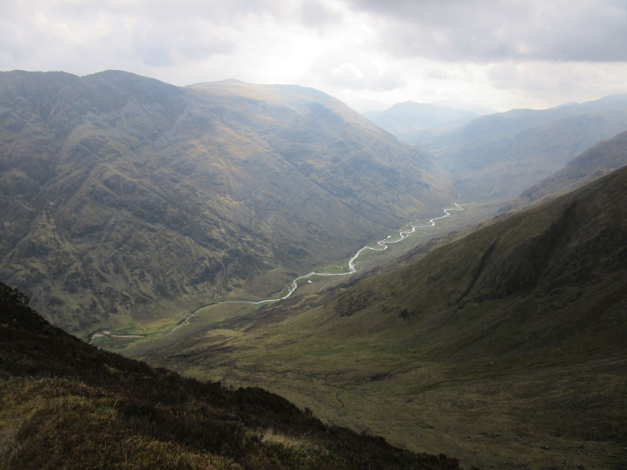
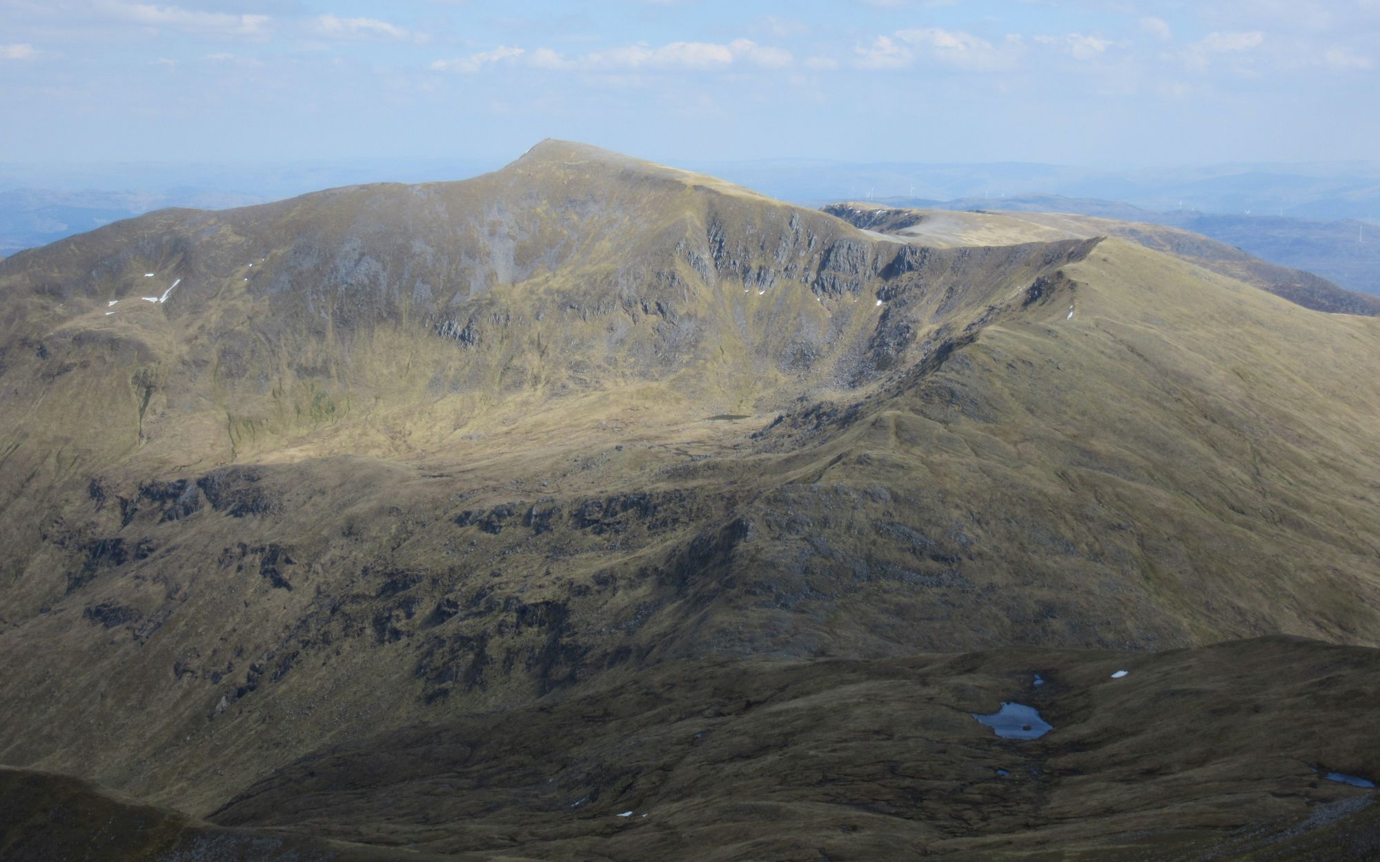
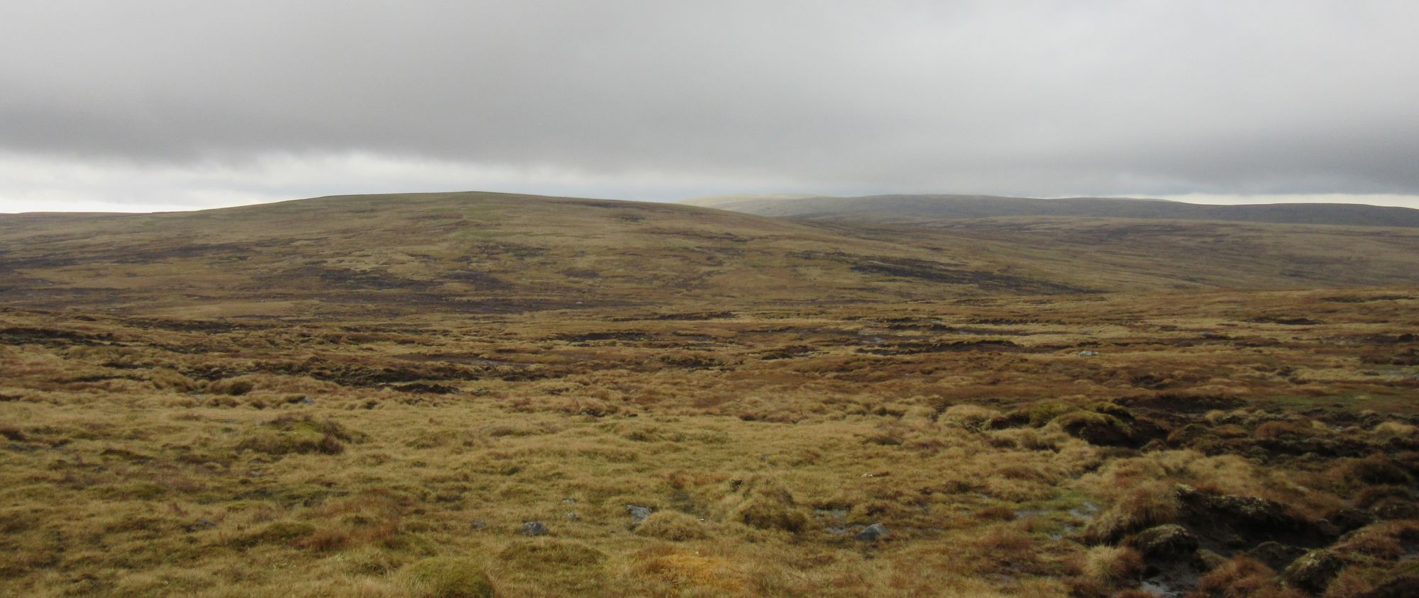
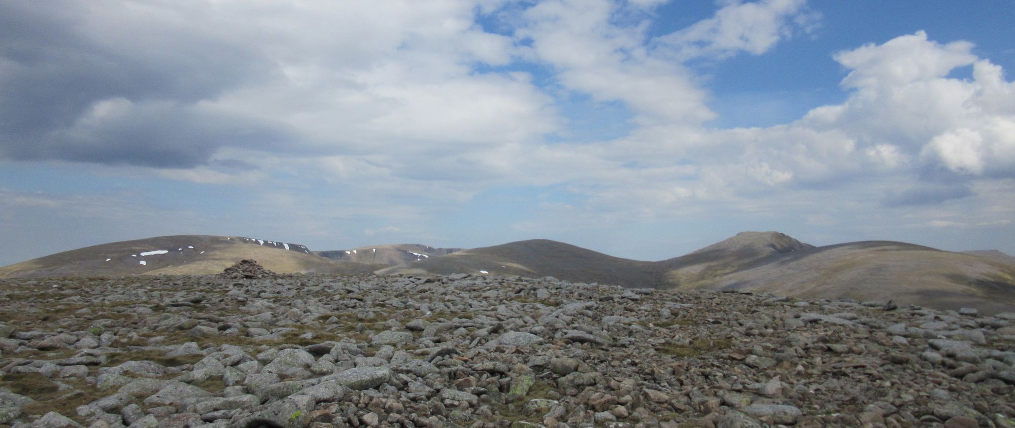
The superb roller-coaster ridge walking over four of the Sisters and then the neighbouring "Brothers" ridge went well, with the best visibility I've had on most of these hills.
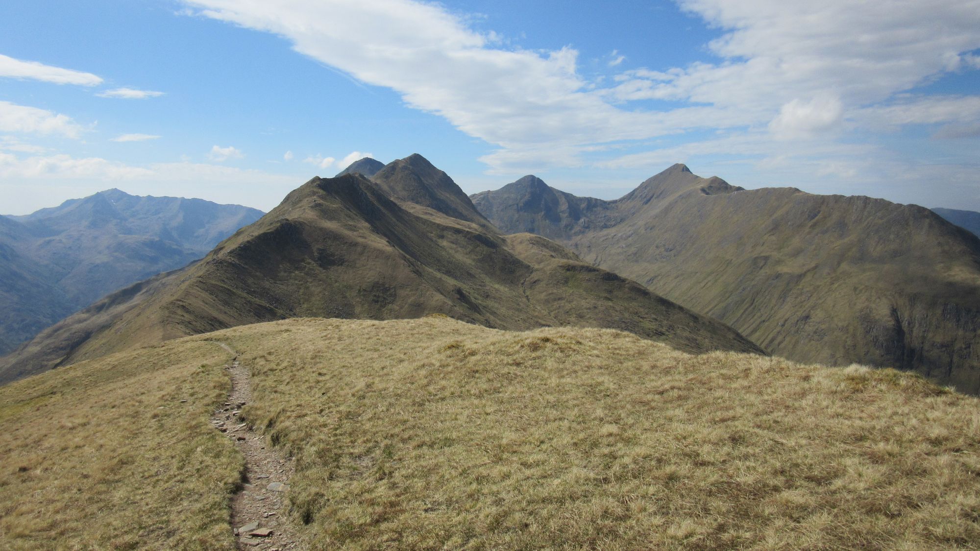
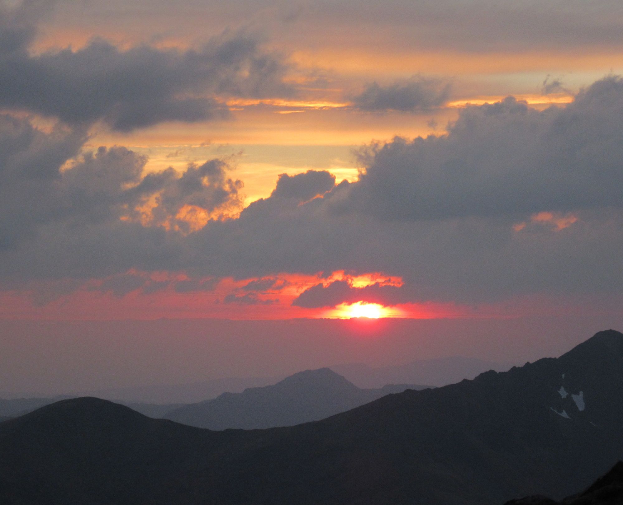
Views along the Five Sisters / Three Brothers ridge, all looking back to the west.
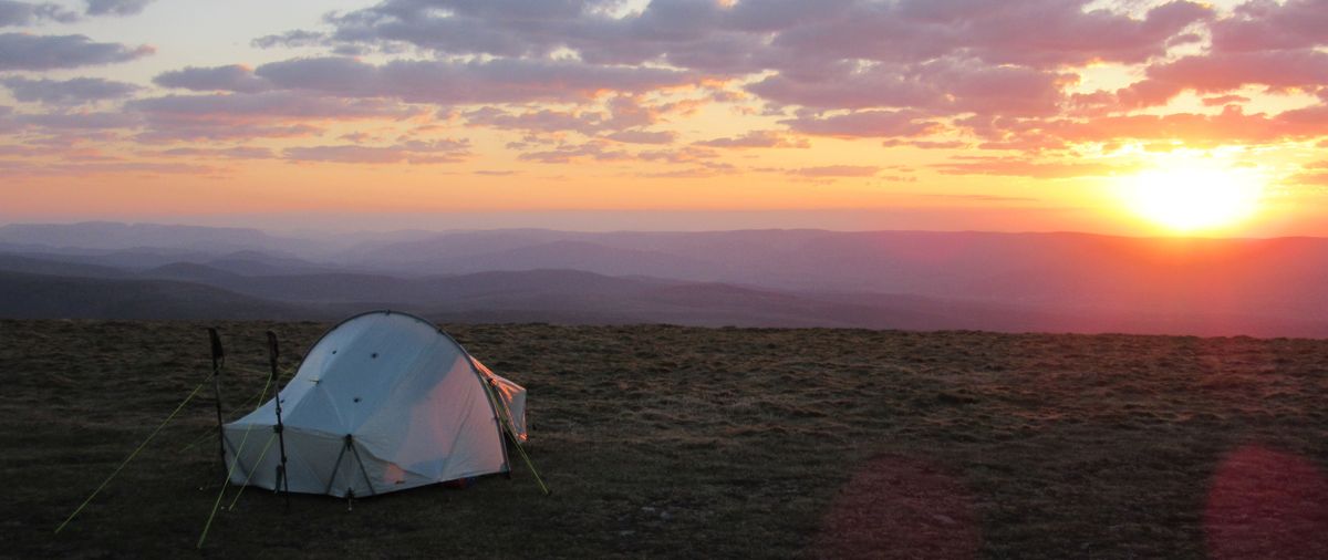
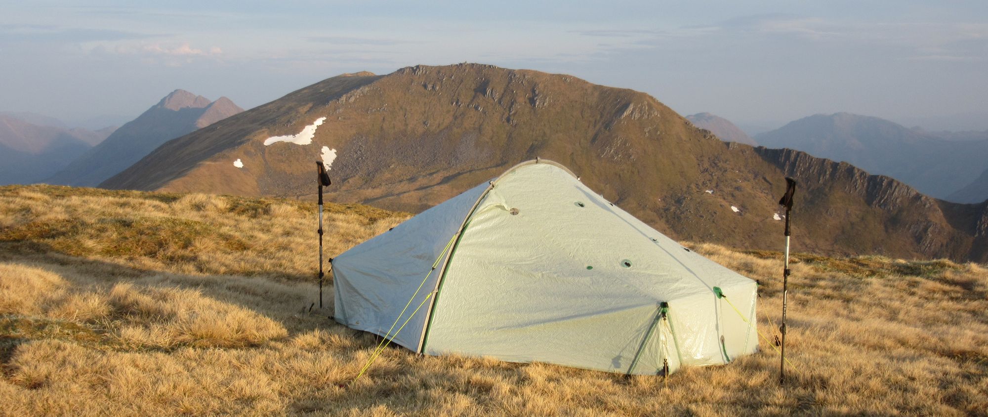
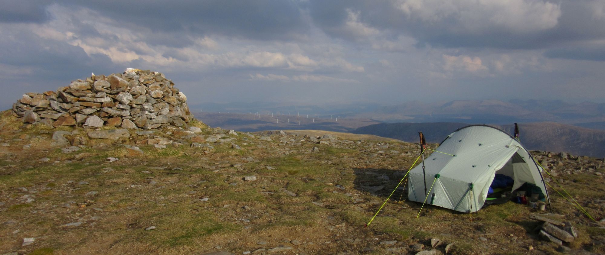
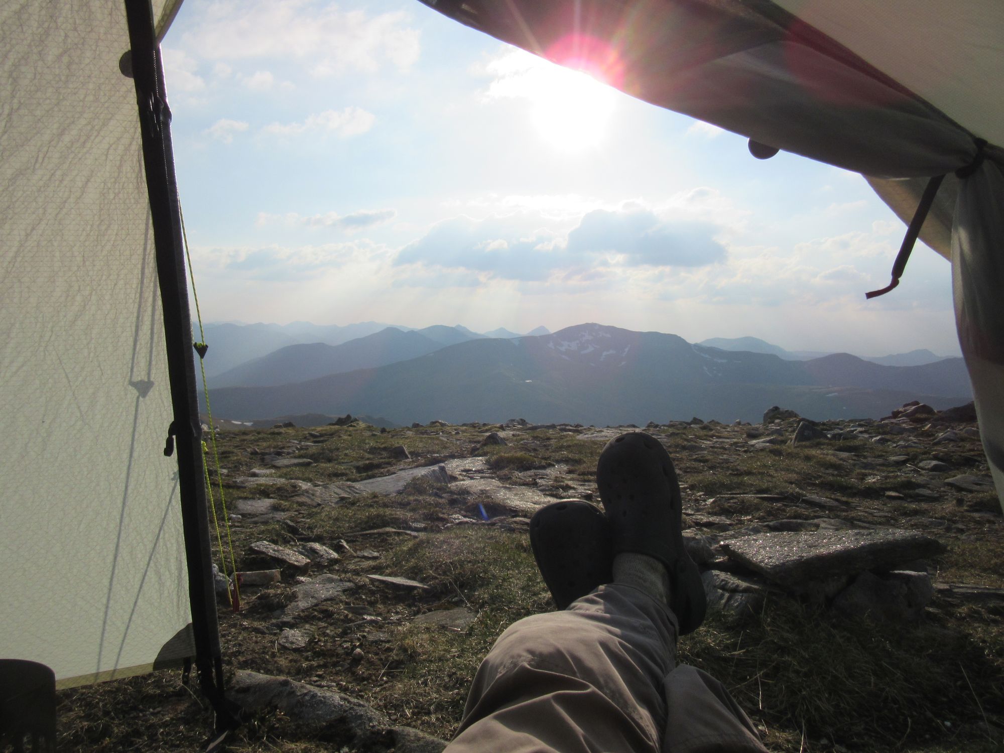
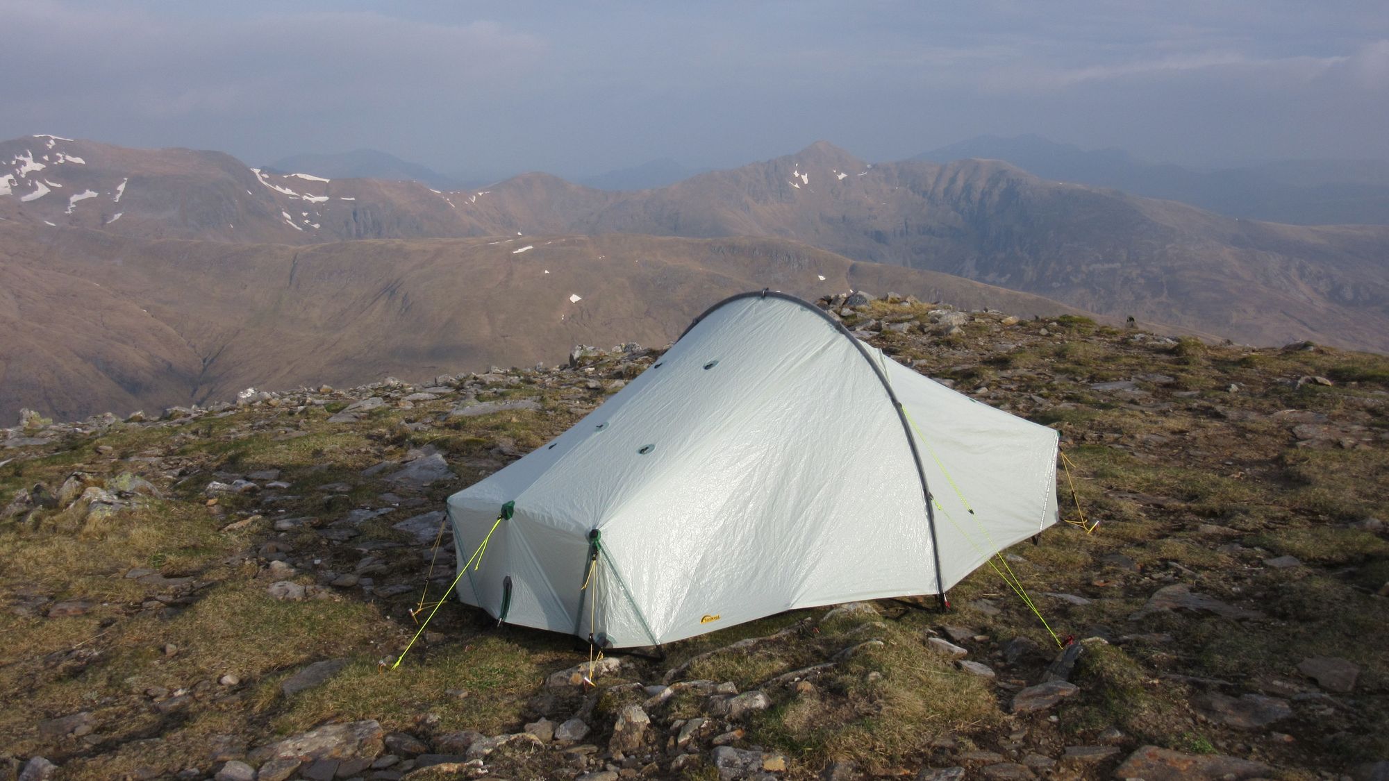
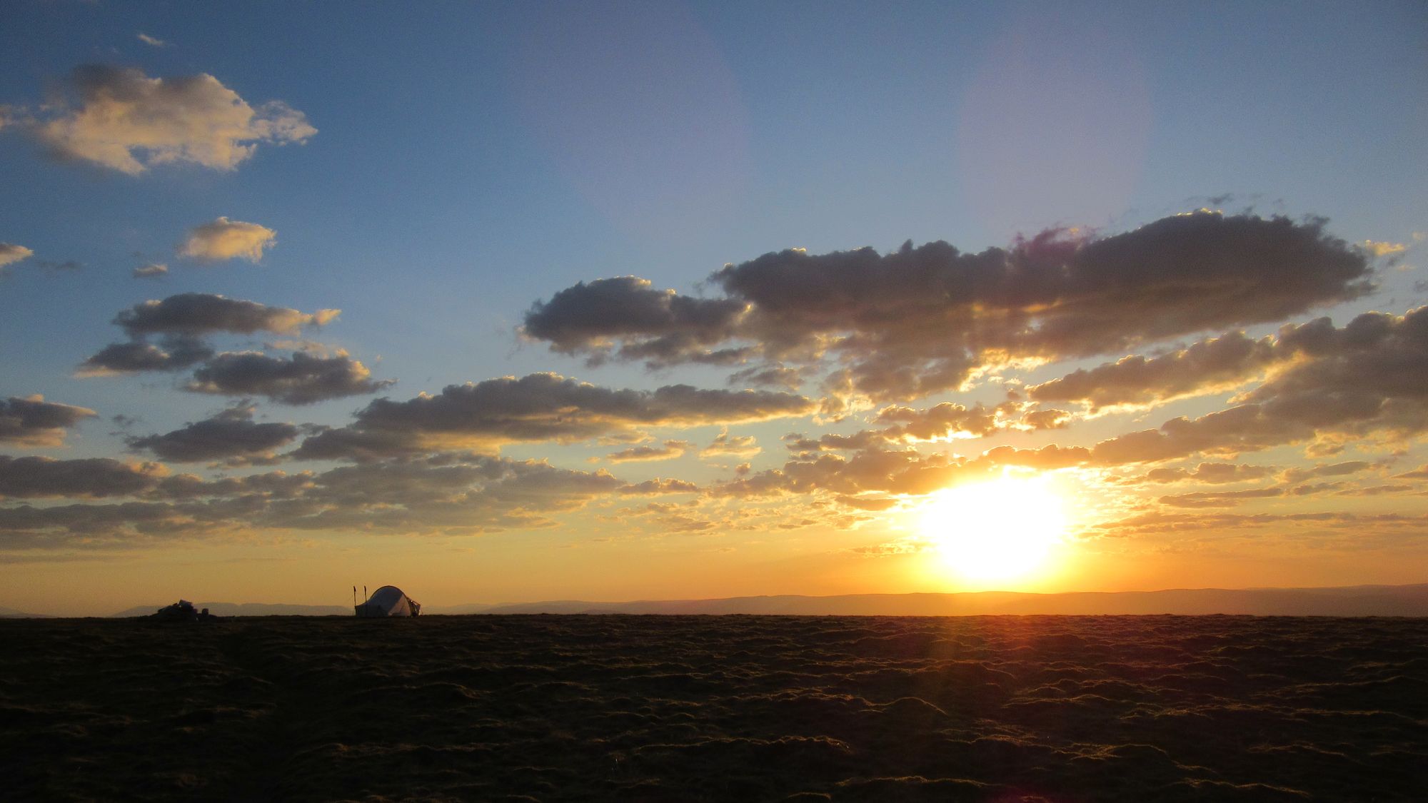
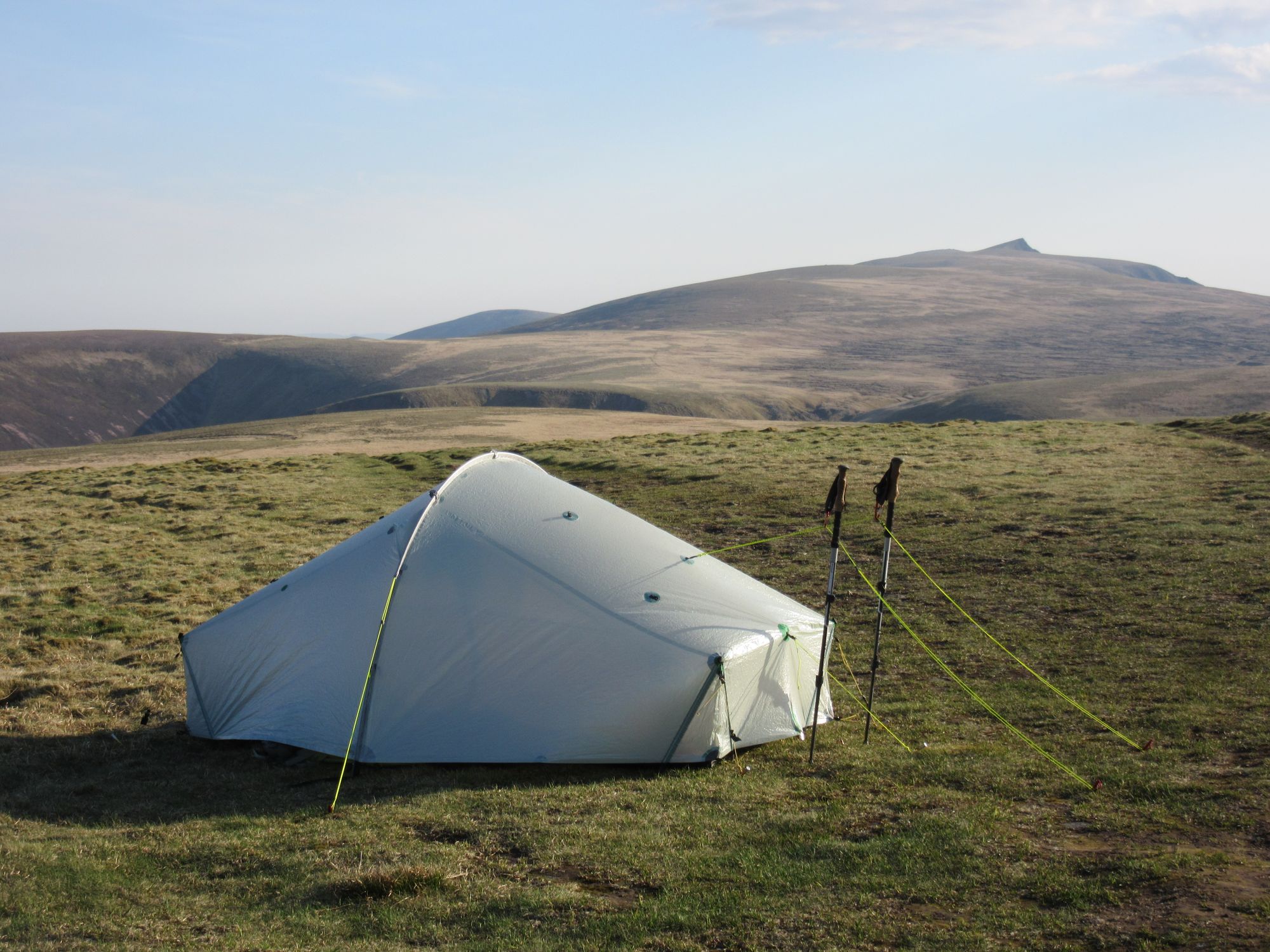
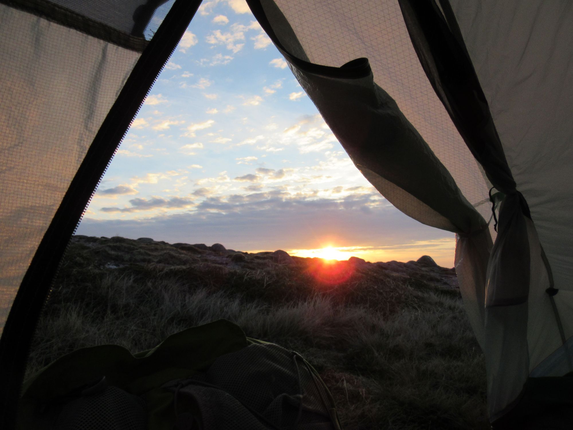
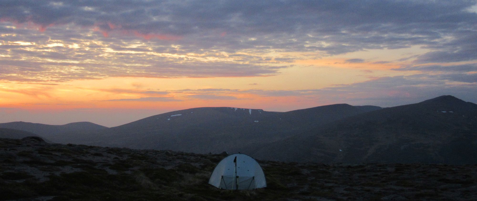
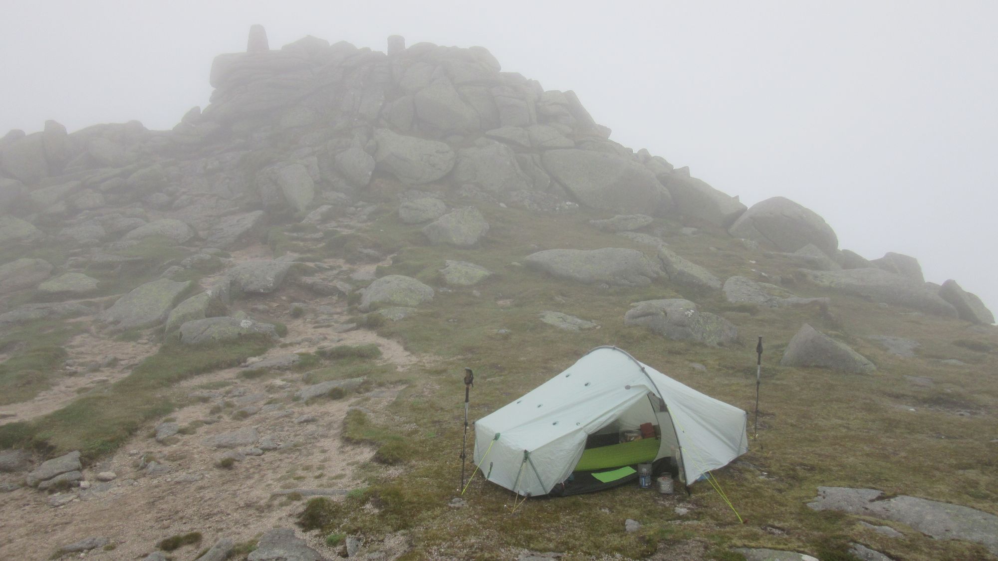
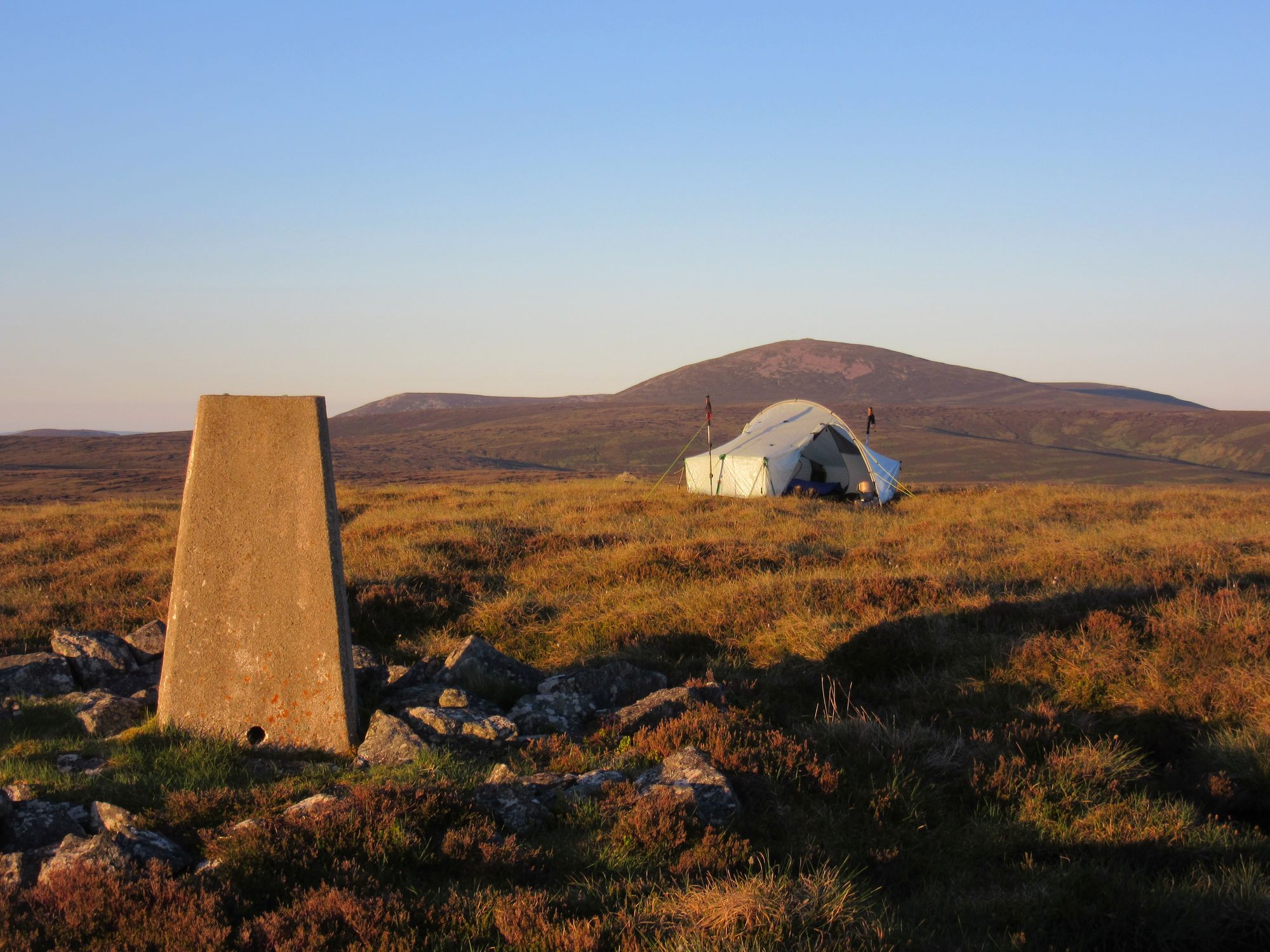
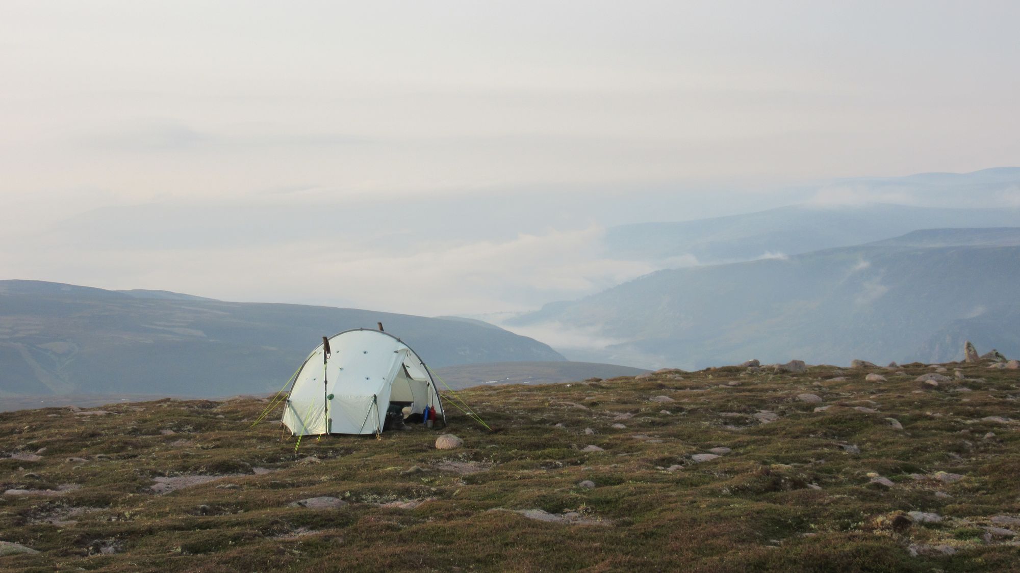
The original plan specified a camp at Bealach a'Choinich which I expected to have water and be a bit more sheltered than the ridge, but conditions on Aonach Meadhoin a little before there were so perfect that it would have been criminal not to summit camp and I found usable water below a snow patch in the bealach just before it.
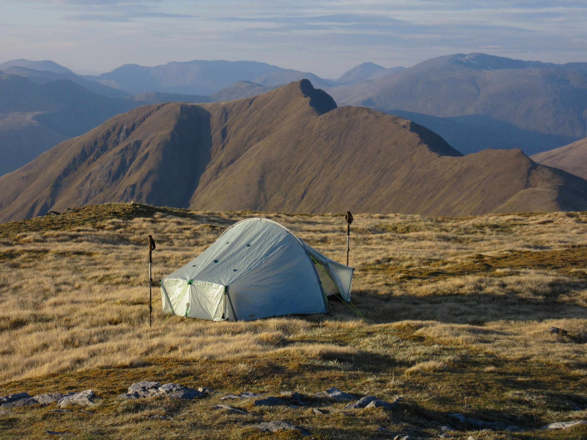
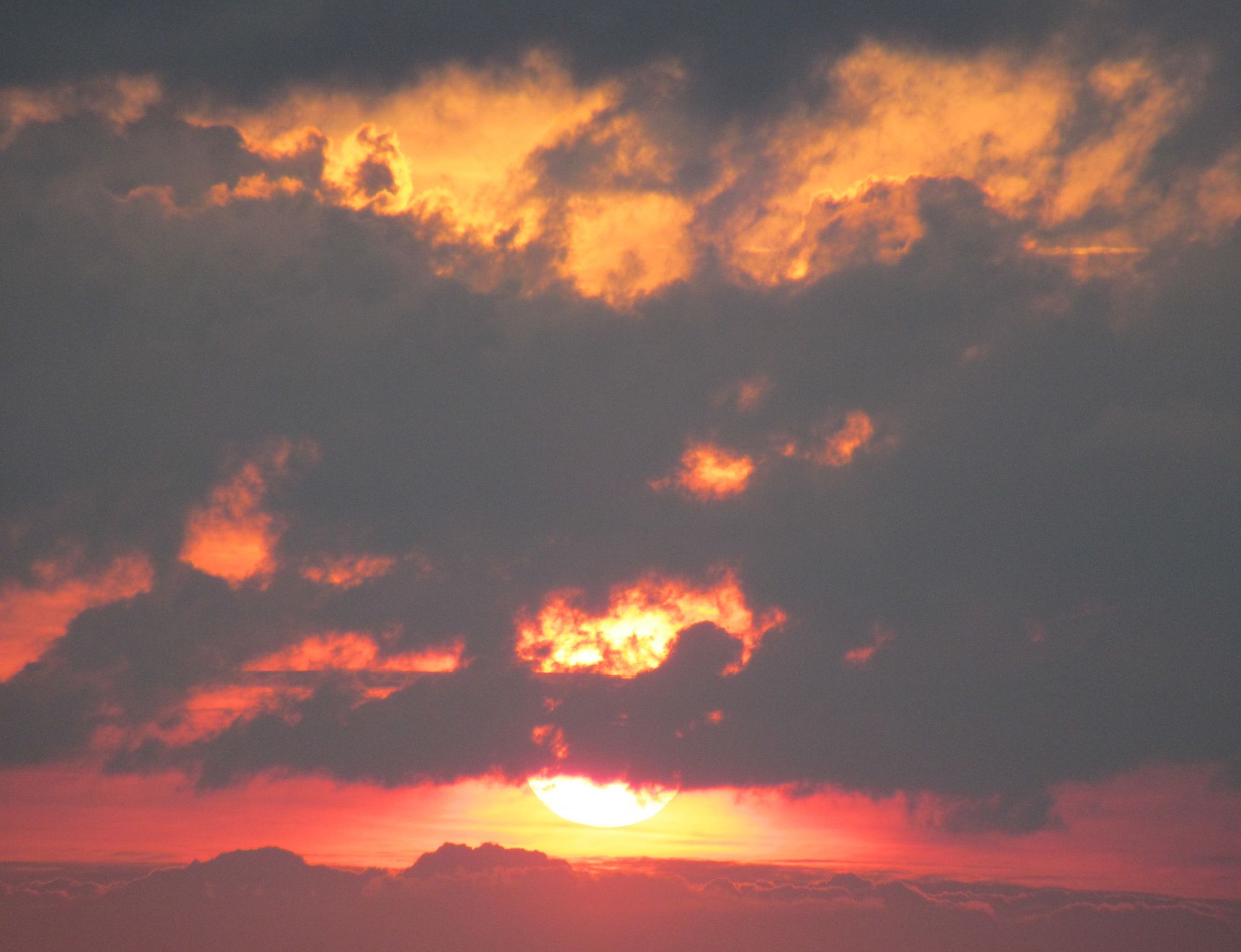
Aonach Meadhoin summit camp scenes.
I was aware there was a remarkably high aurora alert in force for that night and set the alarm on my watch for 1am. But it completely failed to wake me! Apparently I missed quite a show!
Day 2
Aonach Meadhoin (M) – Sgurr an Fhuarail (MT) – Bealach a’Choinich – Ciste Dubh (M) – Bealach a’Choinich – NH076160 (connect FWA) – Coire Odhar – Mullach Fraoch-choire (M) – Stob Coire na Craileig (MT) – A’Chraileag (M) – A’Chioch (MT) – Bealach Choire a’Chait – Drochaid an Tuill Easaich (MT) – Sgurr nan Conhbhairean (M)
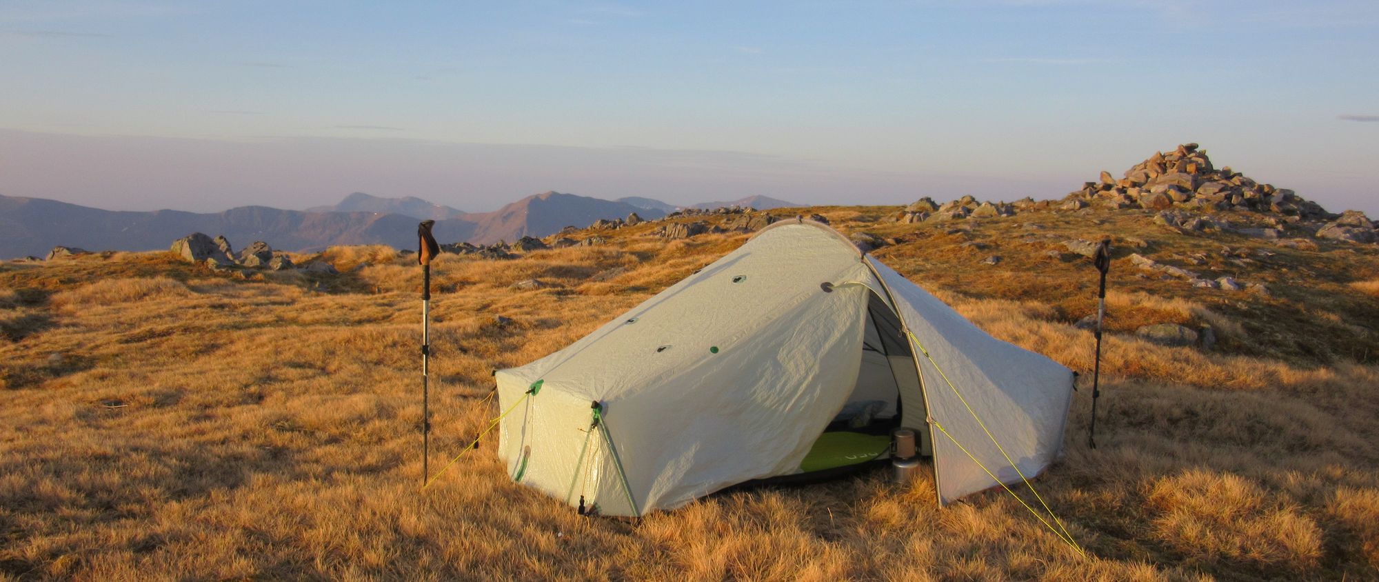
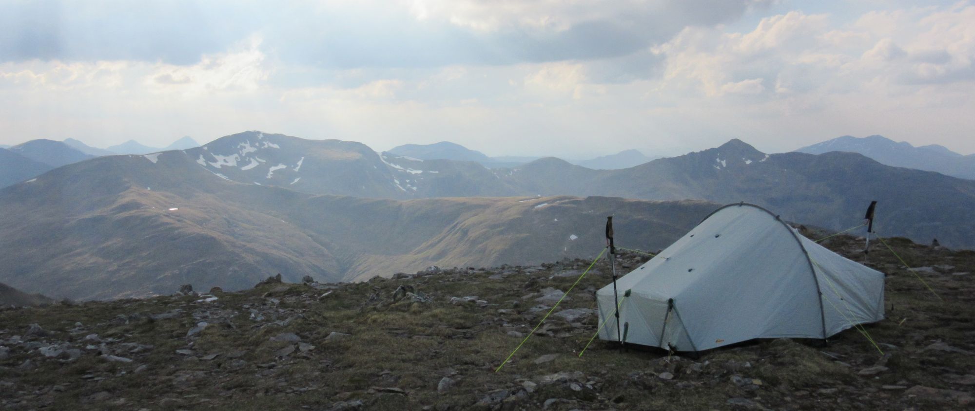
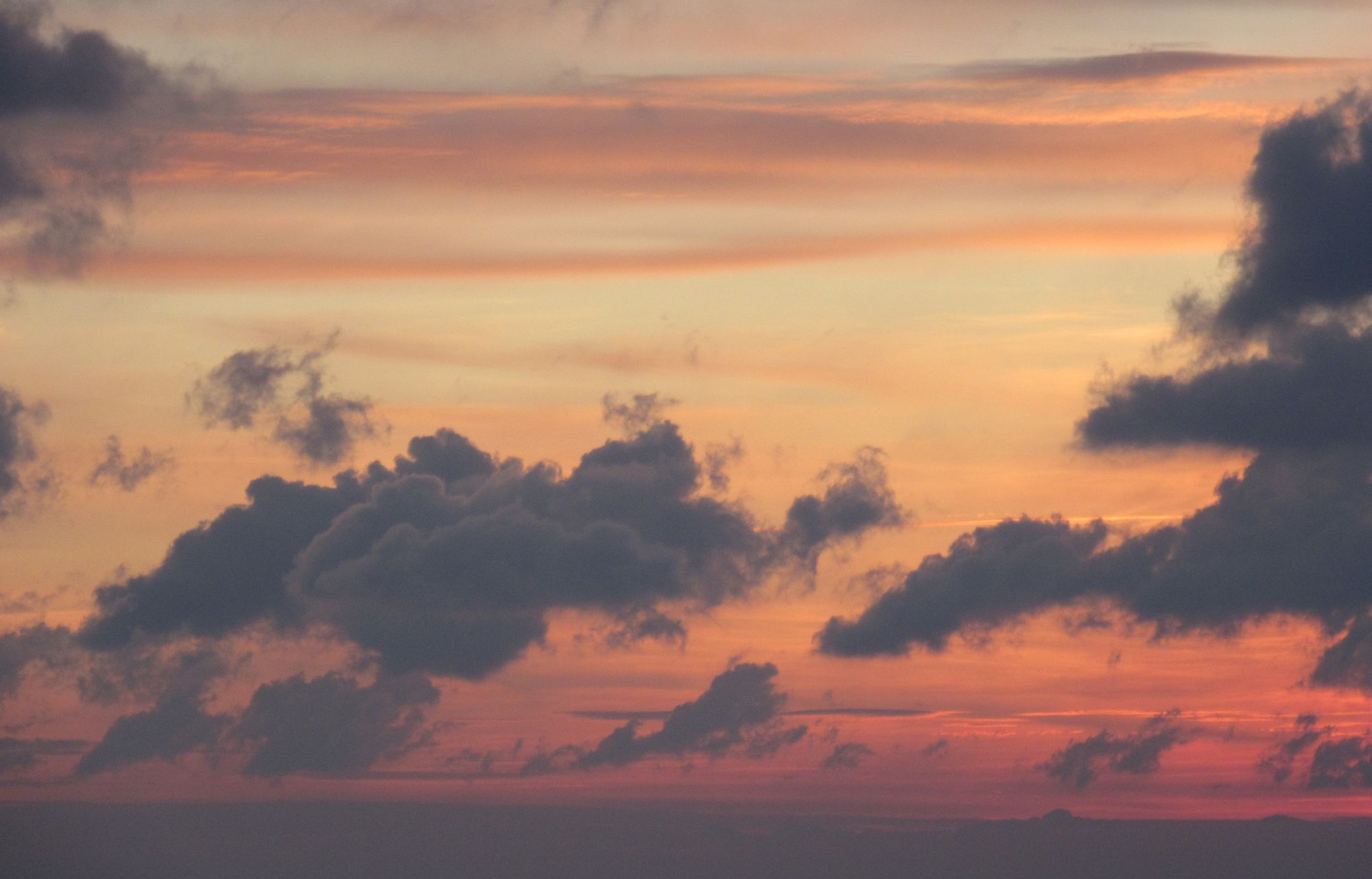
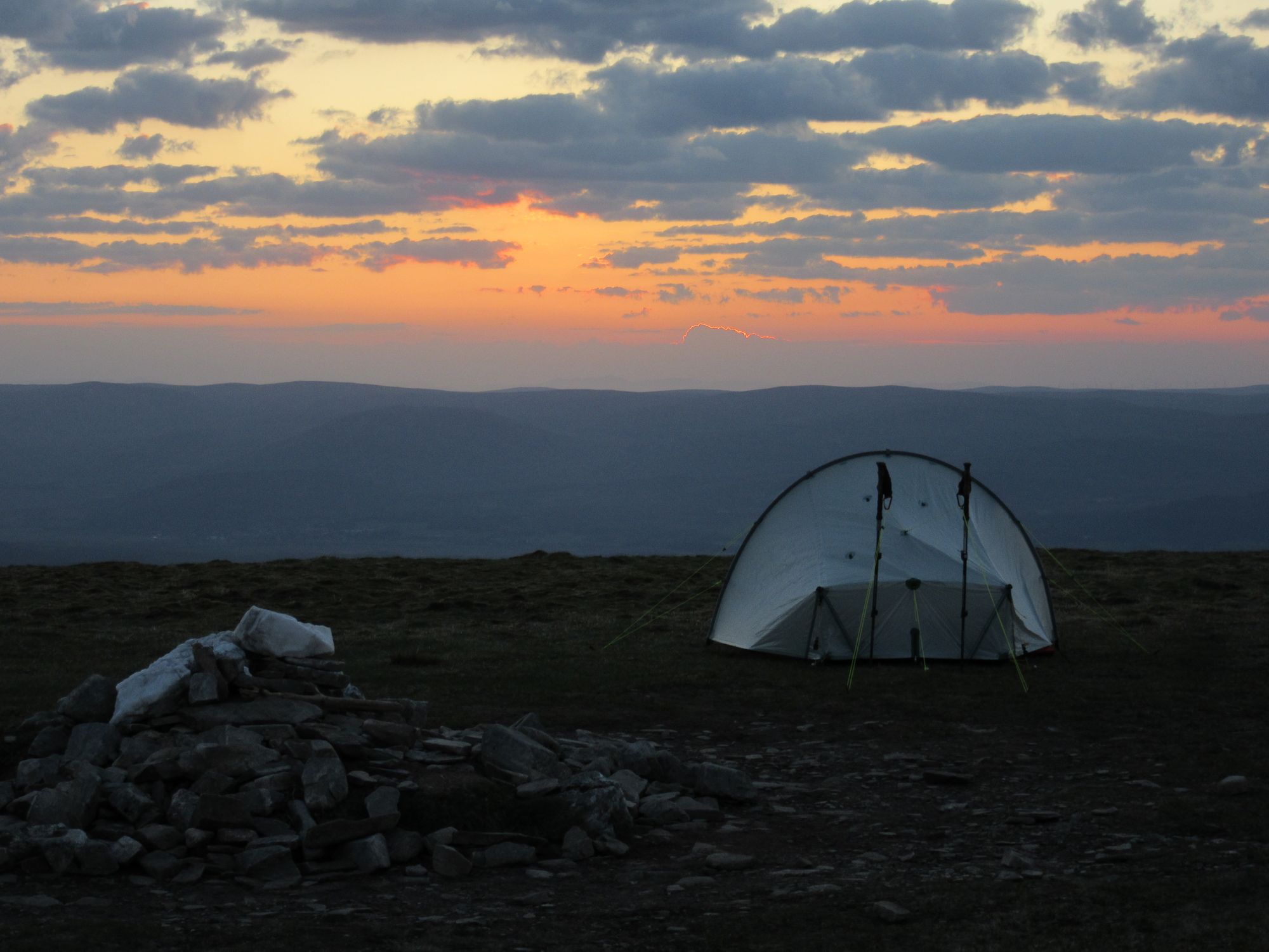
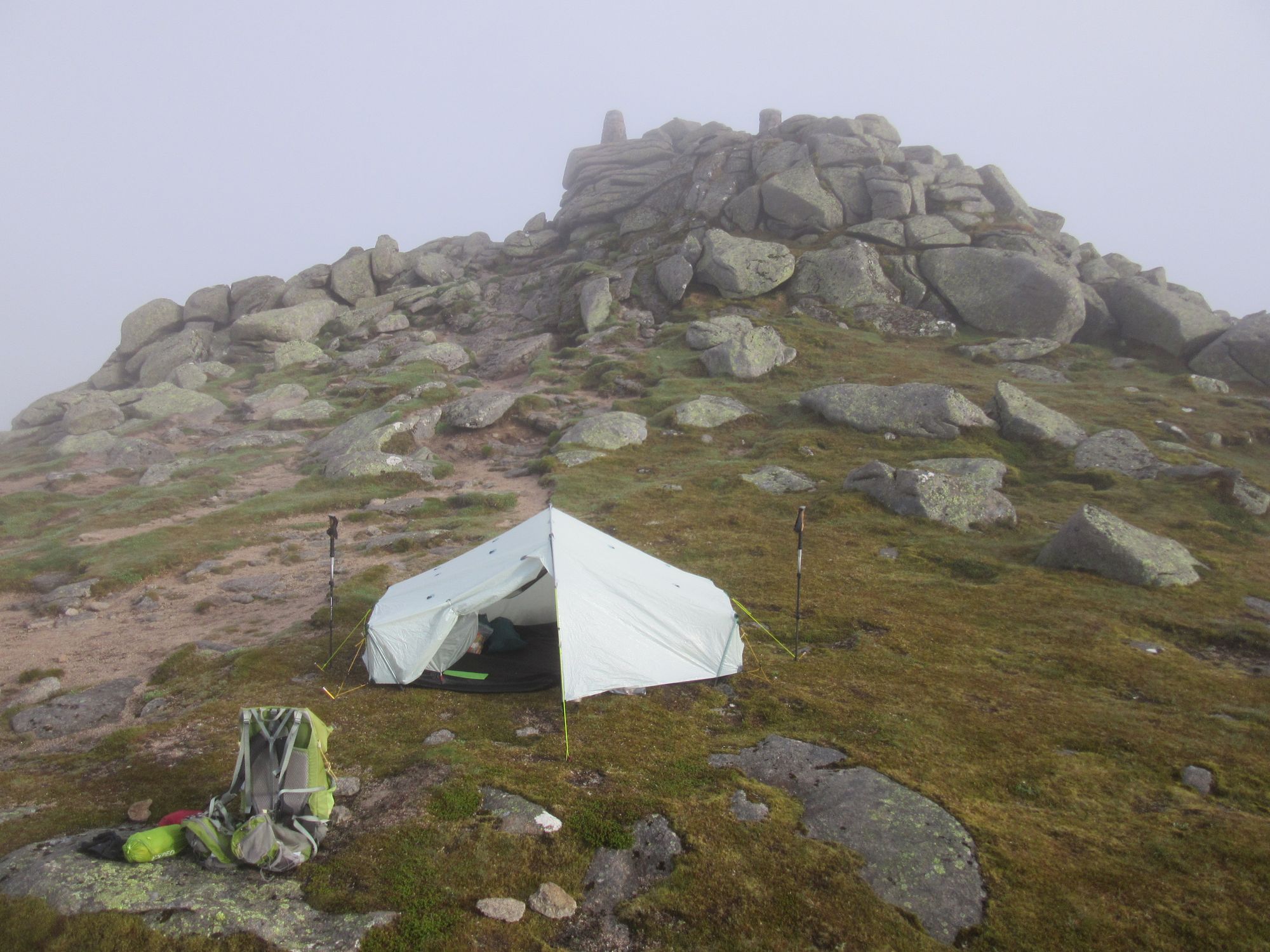
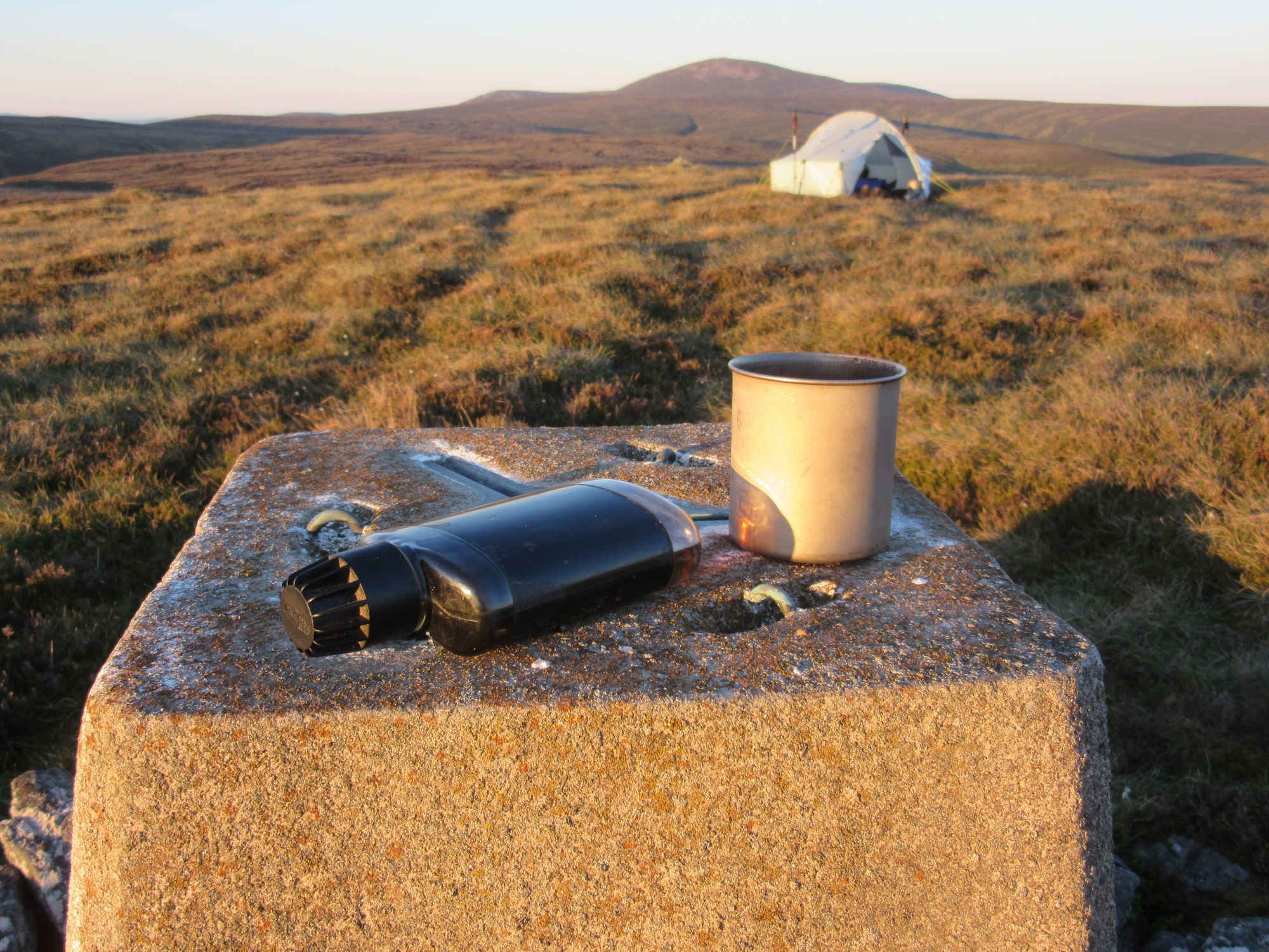
Aonach Meadhoin summit camp in the morning light.
This was another big day for ascent according to the plan (1820m total). Weather was again superb, although it became increasingly blustery as the day progressed.
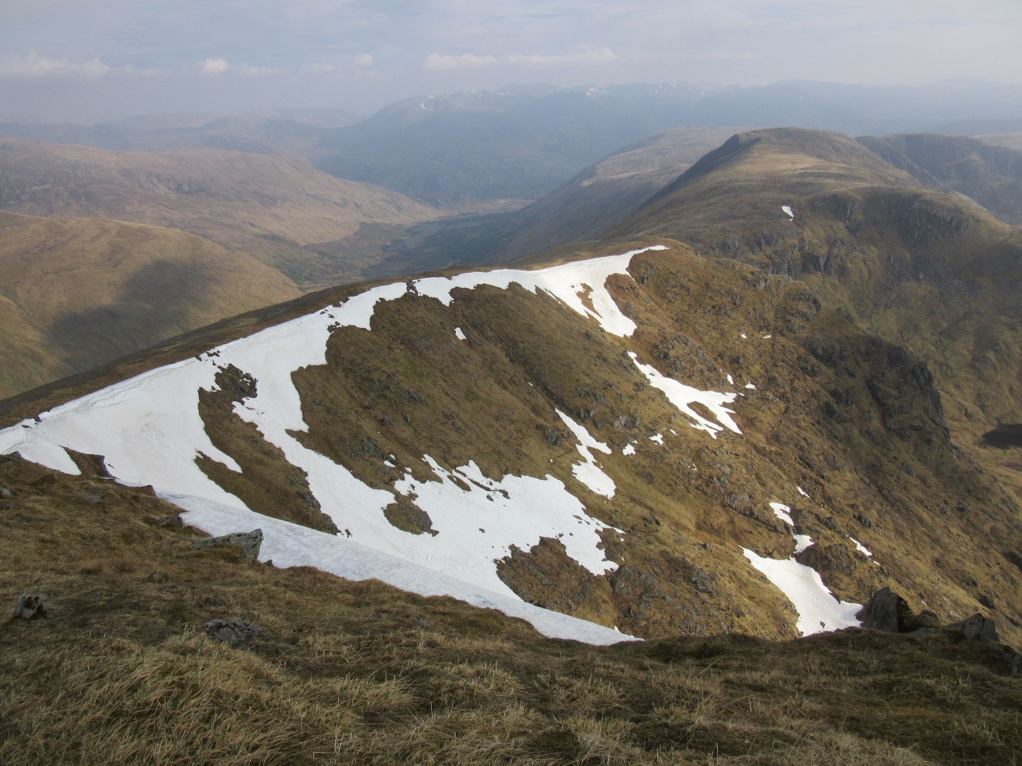
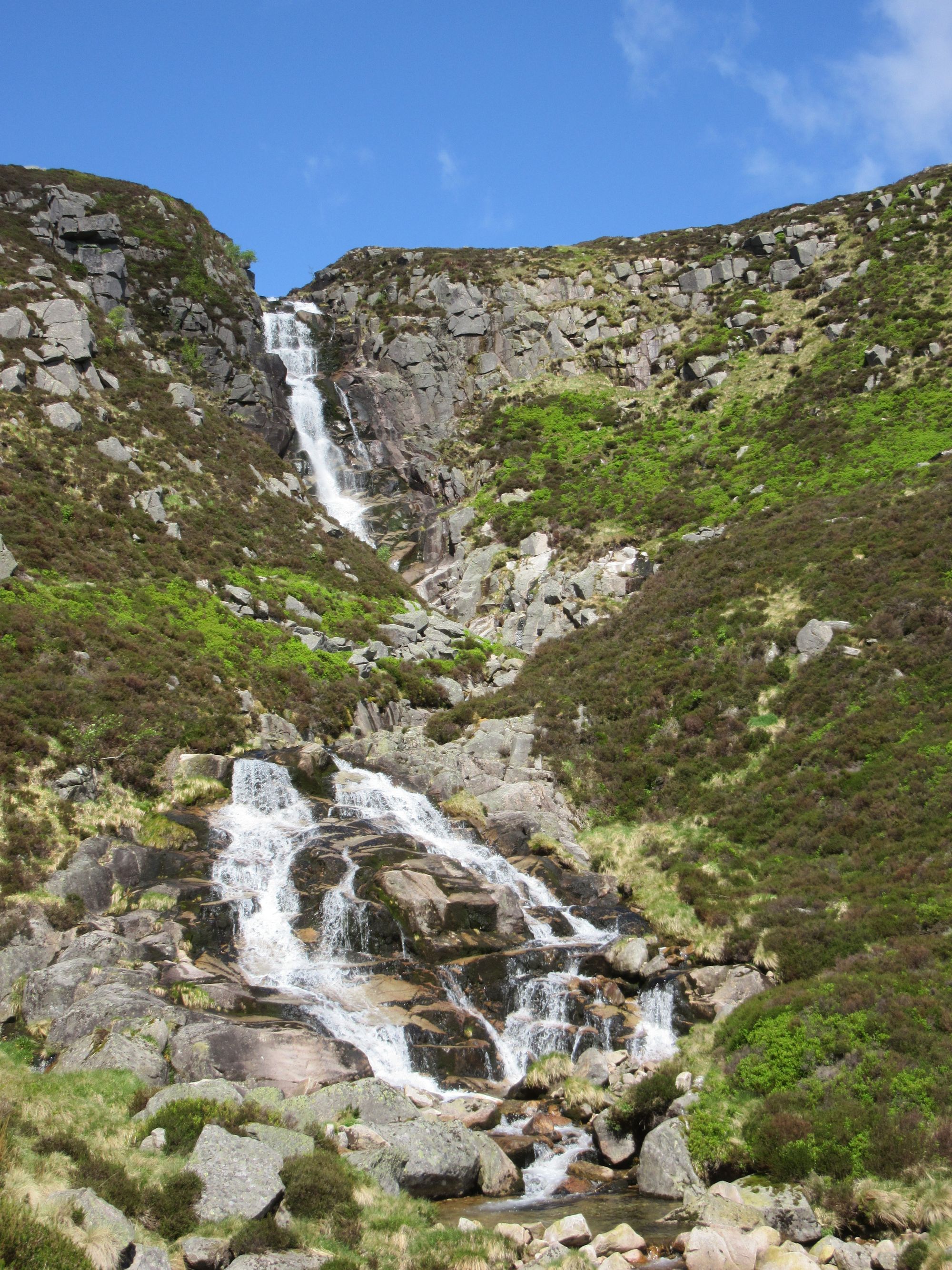
Ciste Dubh I had only visited once before, and I remembered it being a lot more rocky and cliff-bound that it actually is. The original intention had been to do it as a pack-free out-and-back from a Bealach a’Choinich camp, but instead I traversed it and descended steep grassy slopes to 400m at Bealach Allt a'Chaorainn Mhoir to cross the glen separating it from the hills to the east.
Approach towards, summit of, and descent from Ciste Dhubh.
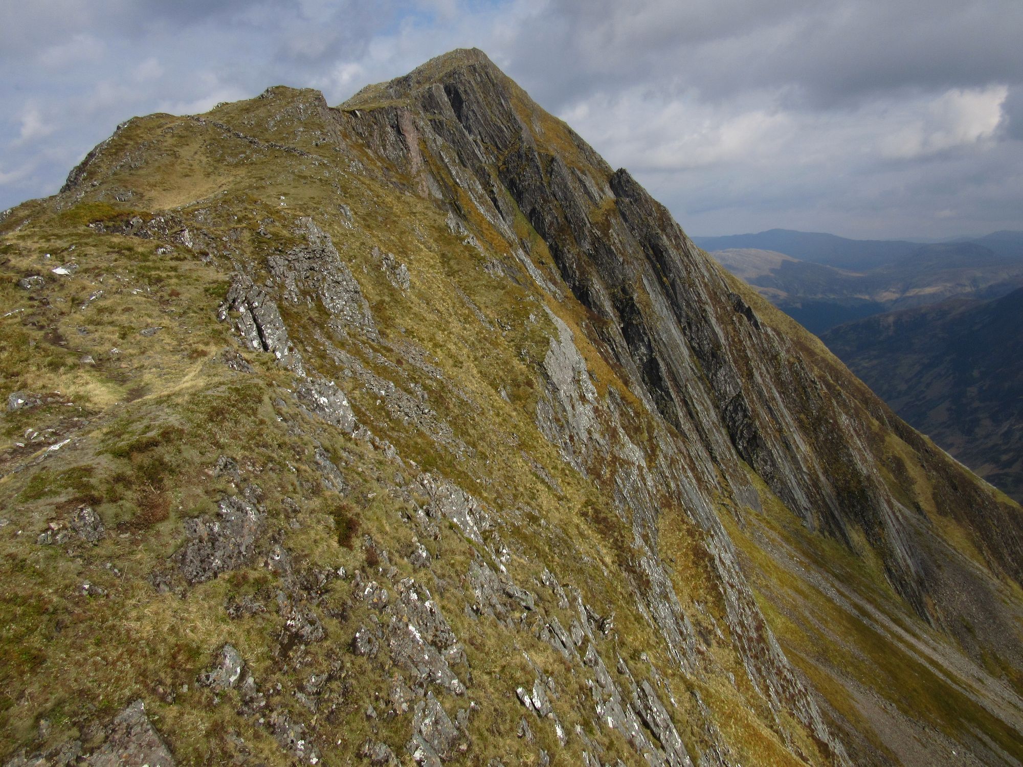
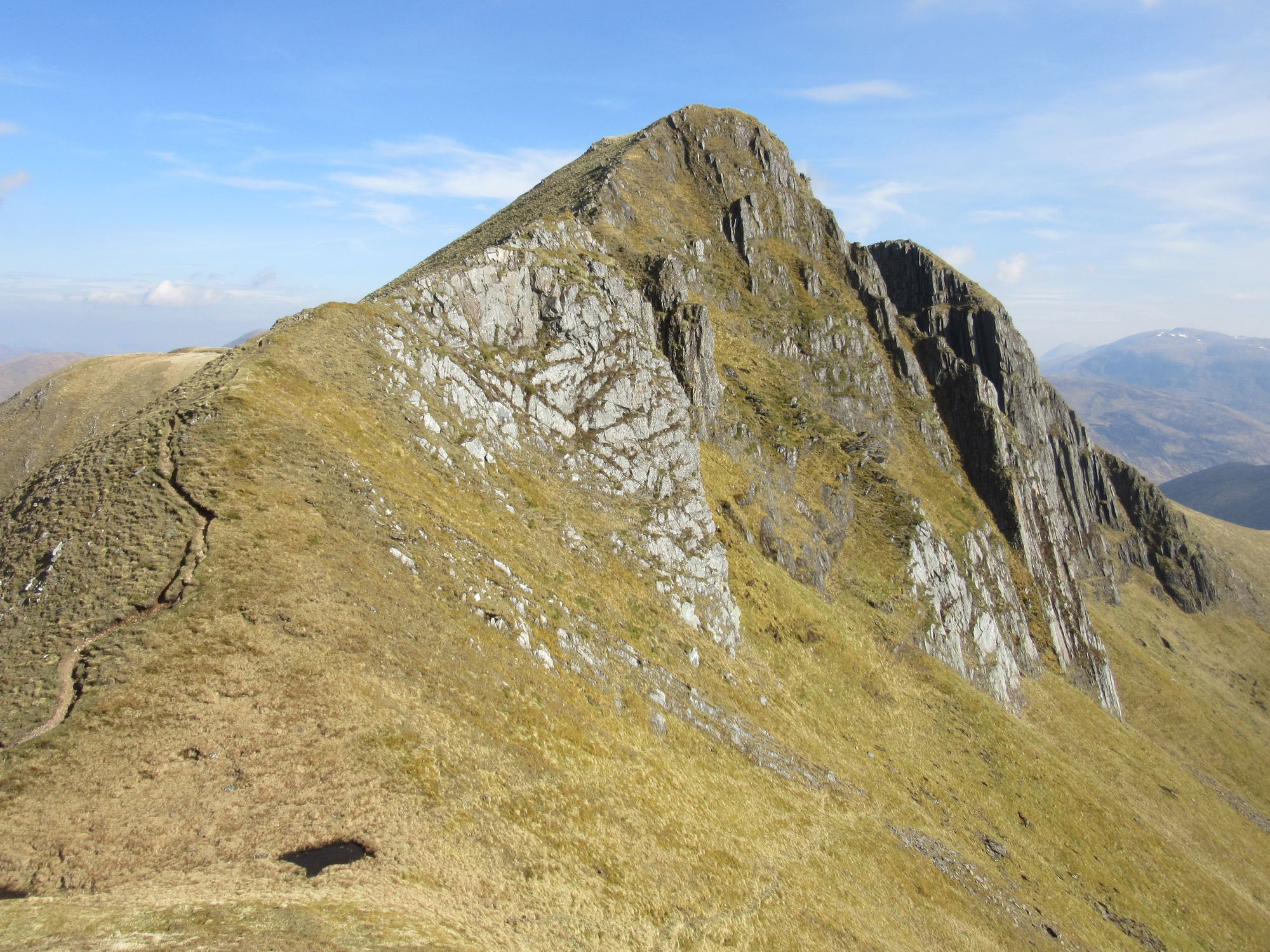
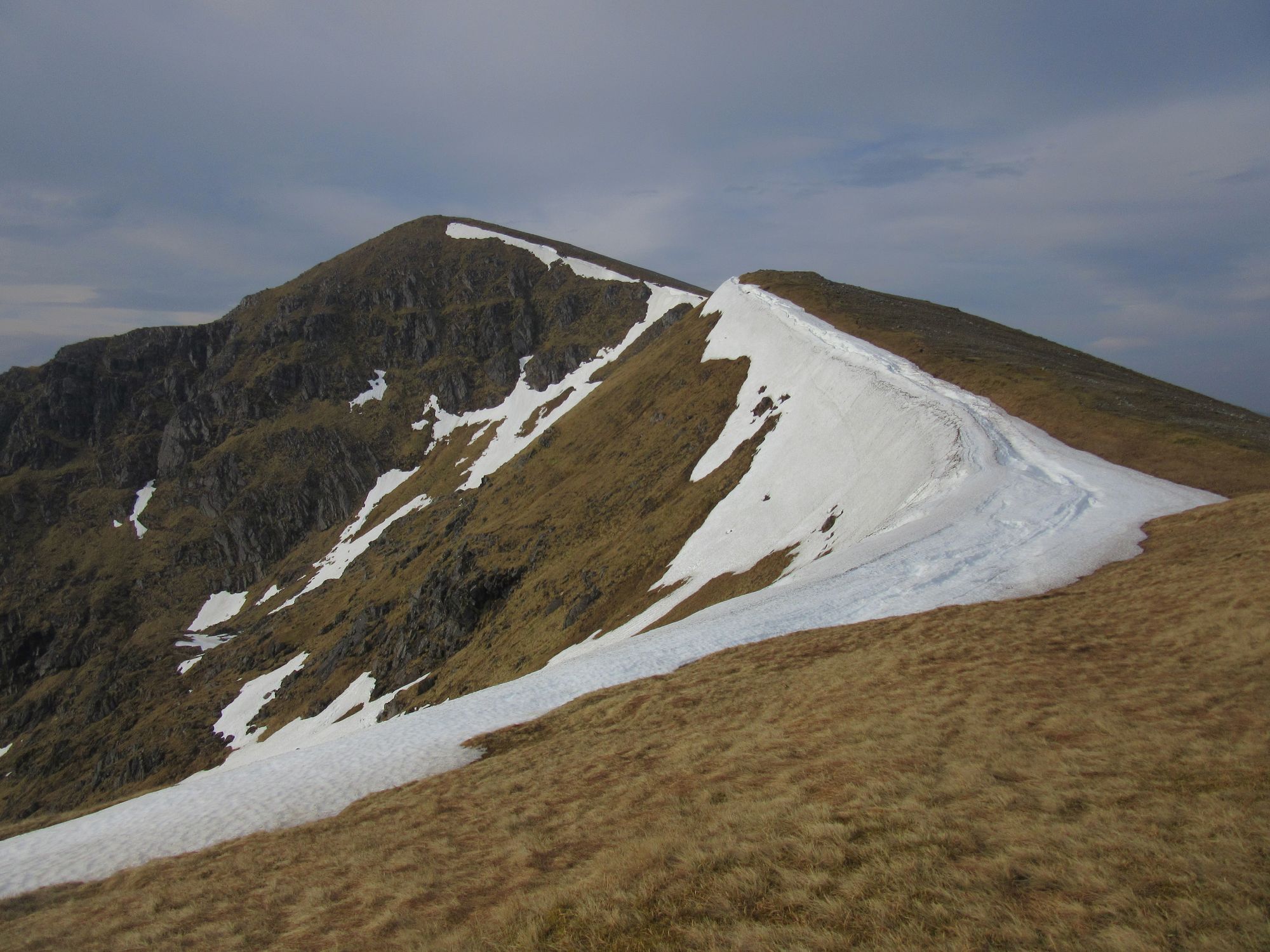
I slogged up Coire Odhar and onto another roller-coaster ridge walk. The out-and-back visit to Mullach Fraoch-choire was perhaps the most tricky summit of the whole crossing with an awkward step. After A'Chralaig, the Munro top of A’Chioch also demanded an out-and-back excursion.
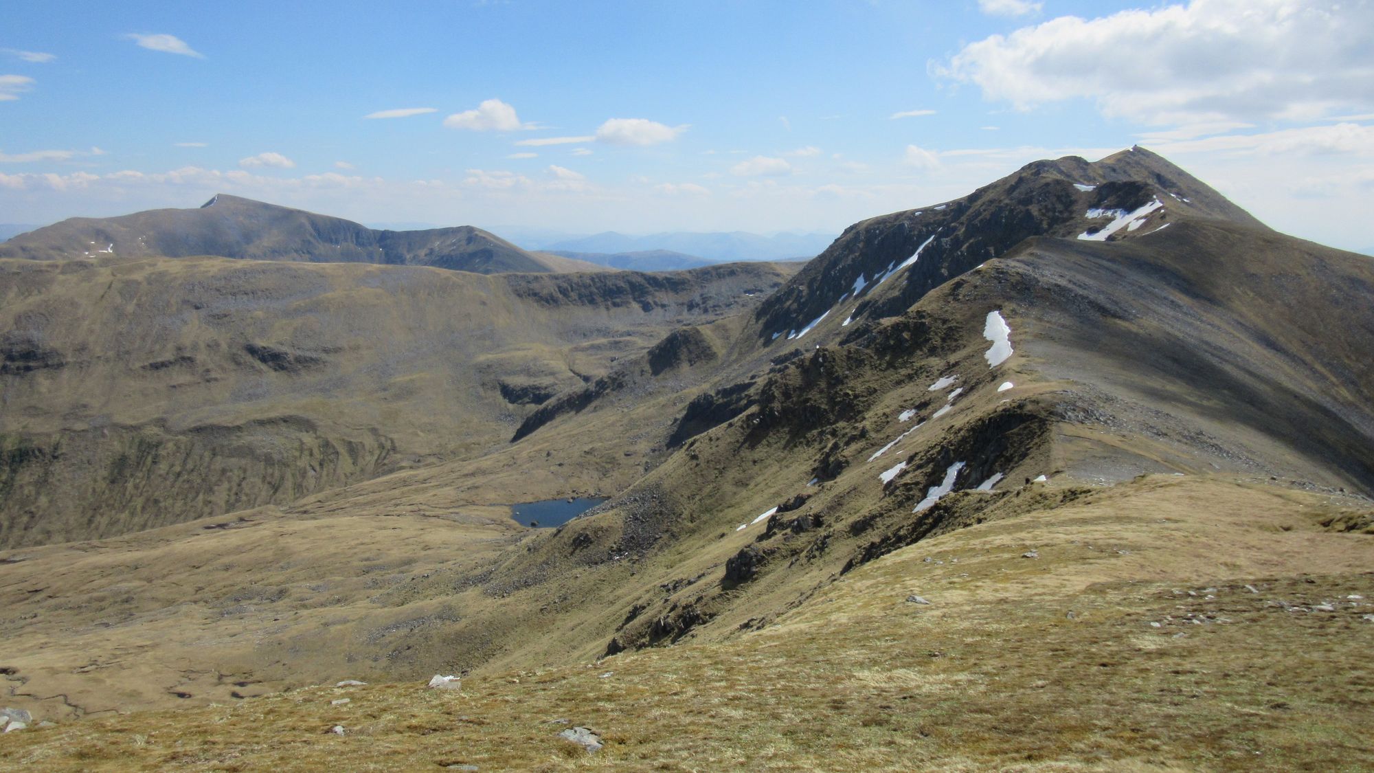
Looking ahead to A'Chralaig on the return from Mullach Fraoch-choire.
Looking back to Mullach Fraoch-choire, on the way to A'Chralaig.
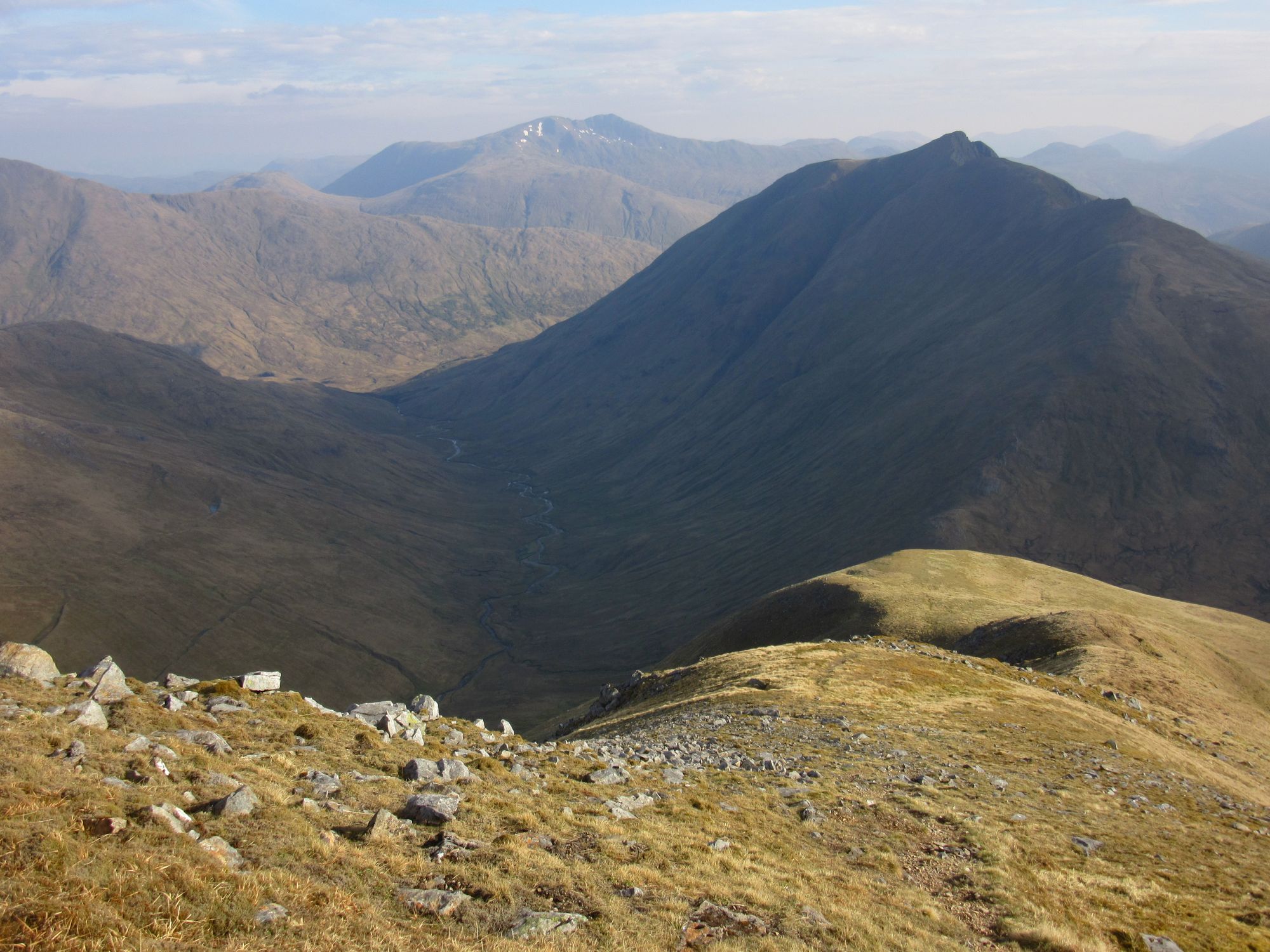
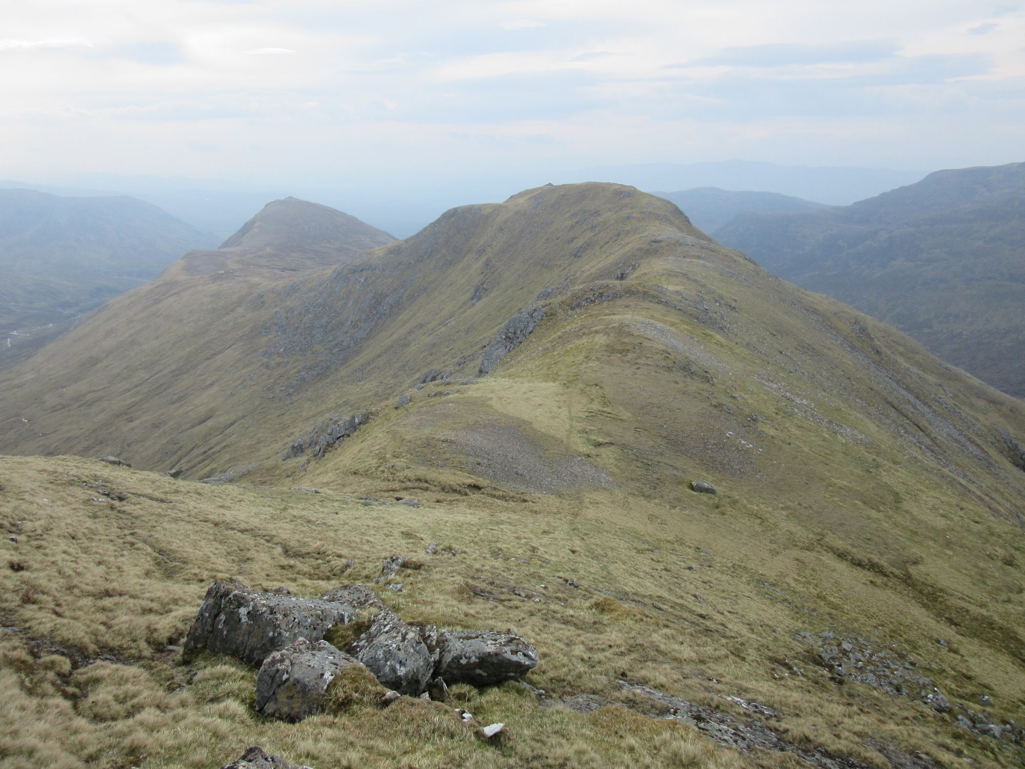
On A'Chralaig, looking back west over everything gone over so far and ahead towards Sgurr nan Conhbhairean.
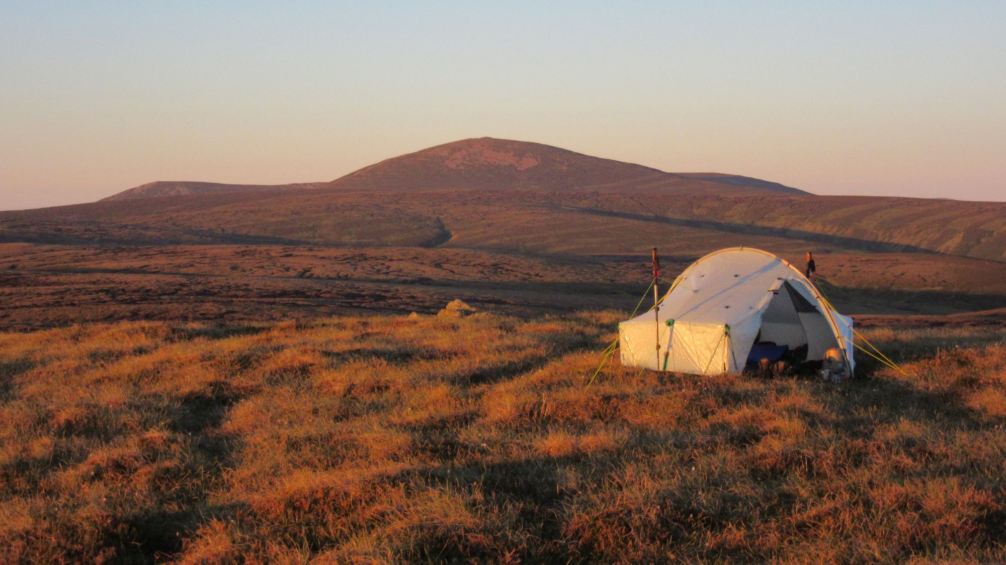
Despite the increasing wind, I thought there was still a chance of a summit camp and so on the return from A’Chioch I loaded up with abundant water from the burns east of A'Chralaig and headed on over another top to the summit of Sgurr nan Conhbhairean.
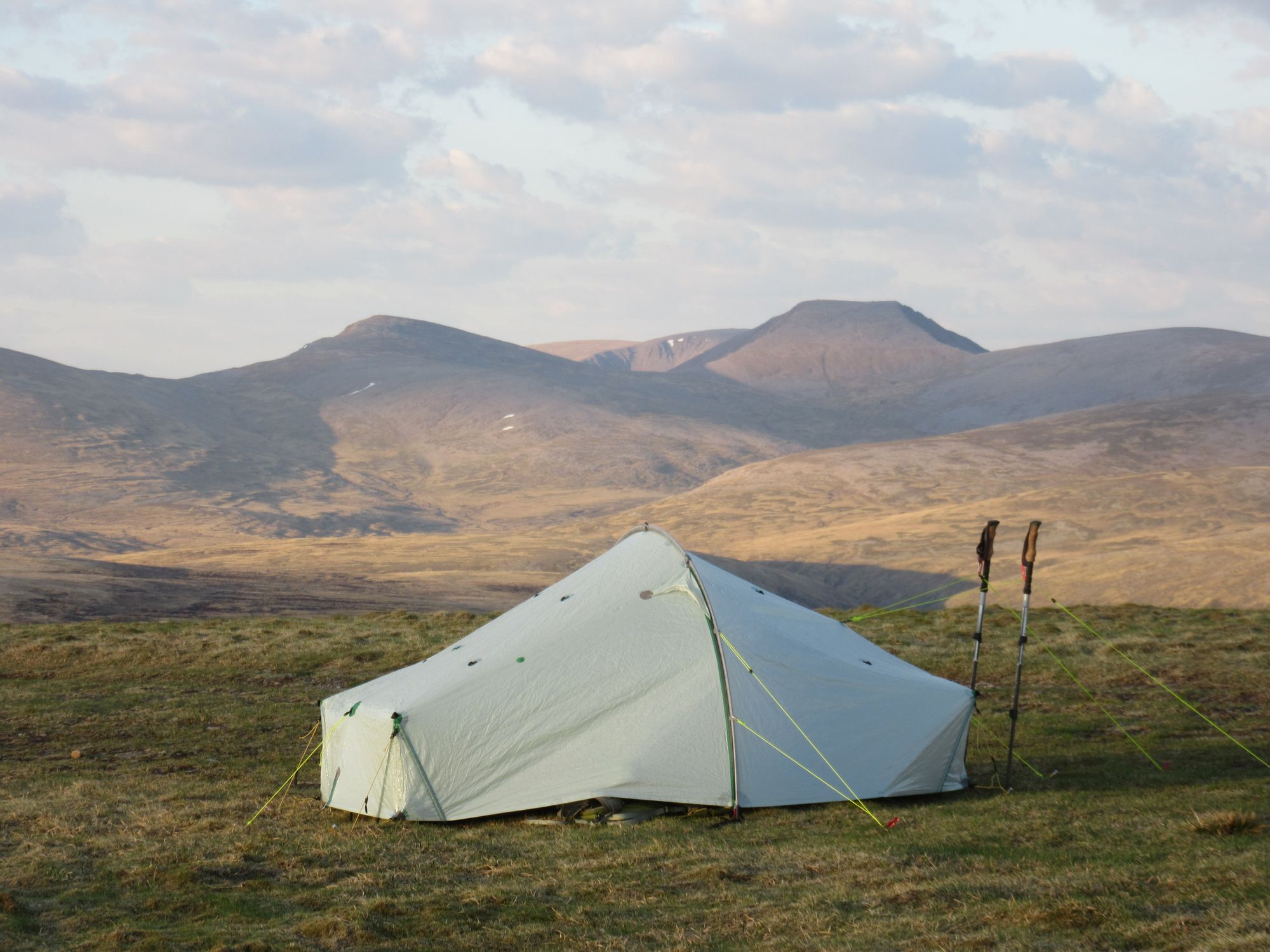
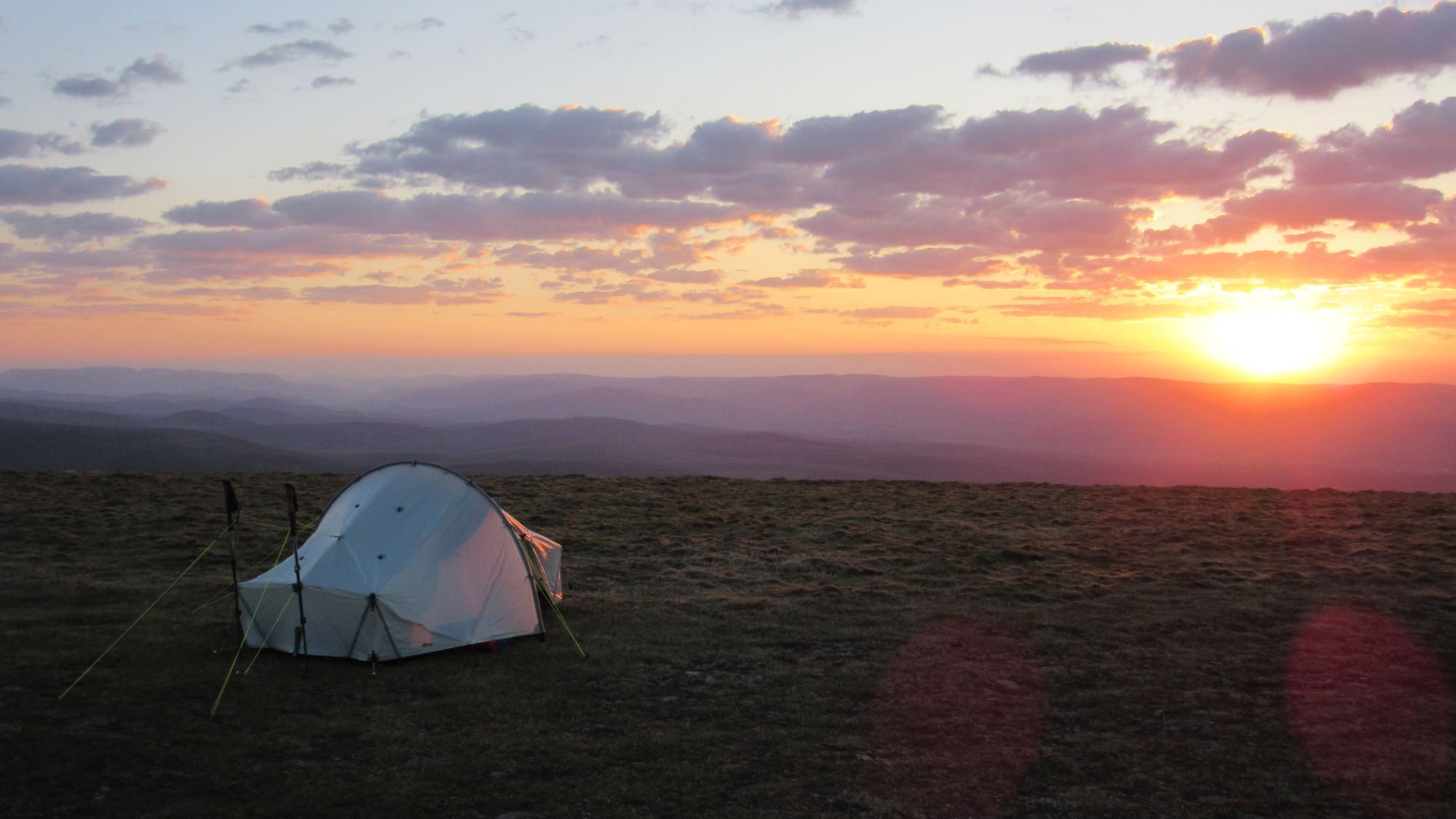
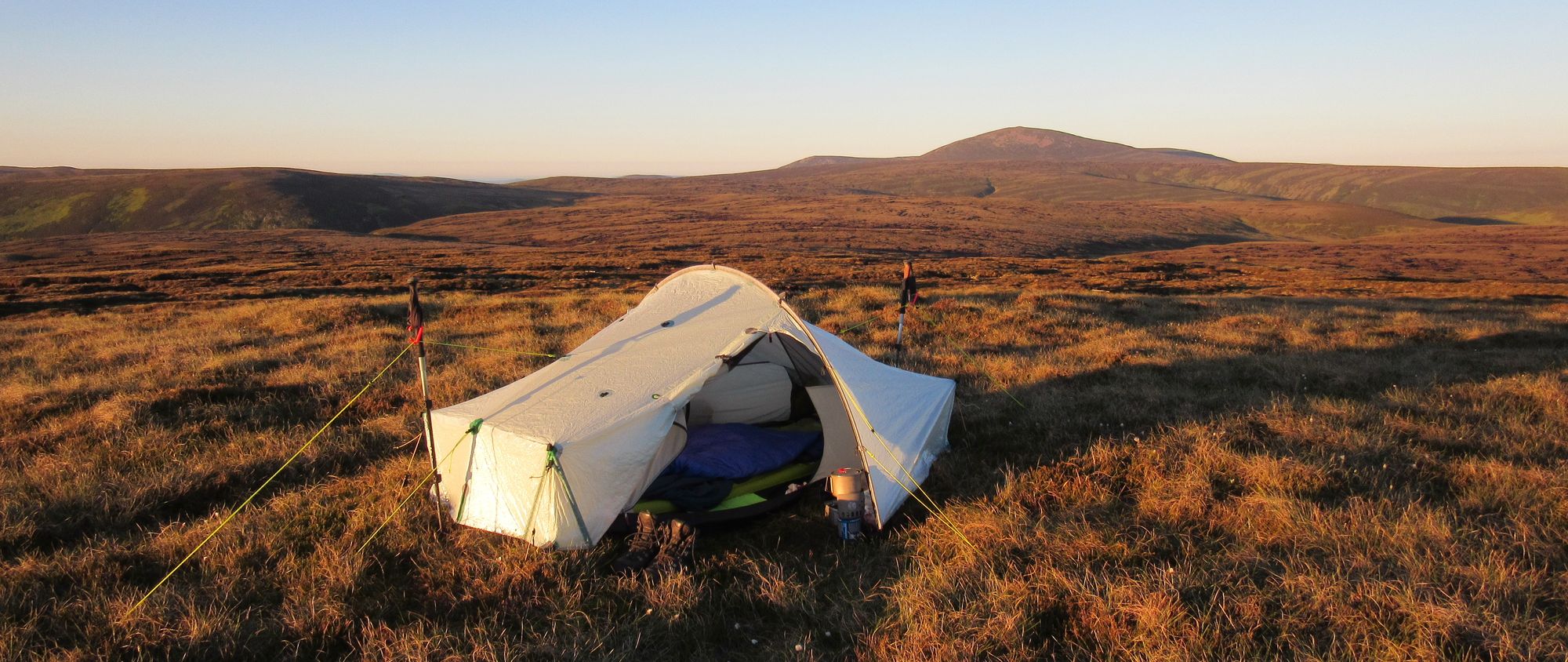
The original plan - if conditions didn't permit a high camp - had been to press on down to Coire Dho where shelter and water could surely be found, but again a summit camp opportunity was irresistible. This one was quite rocky, but just enough grass could be found for a tent pitch and it seemed to be a curiously calm and sheltered patch considering the buffeting I'd gotten approaching it. I'd noticed that before on a previous visit: it's as if the steep slopes around it somehow deflect any wind over the top of the small plateau-like summit area.
Sgurr nan Conhbhairean summit camp scenes.
Aurora activity was still supposed to be very high, so I set the alarm for 1am again. This time it did wake me up, but the sky was completely cloudy when I looked out.
Day 3
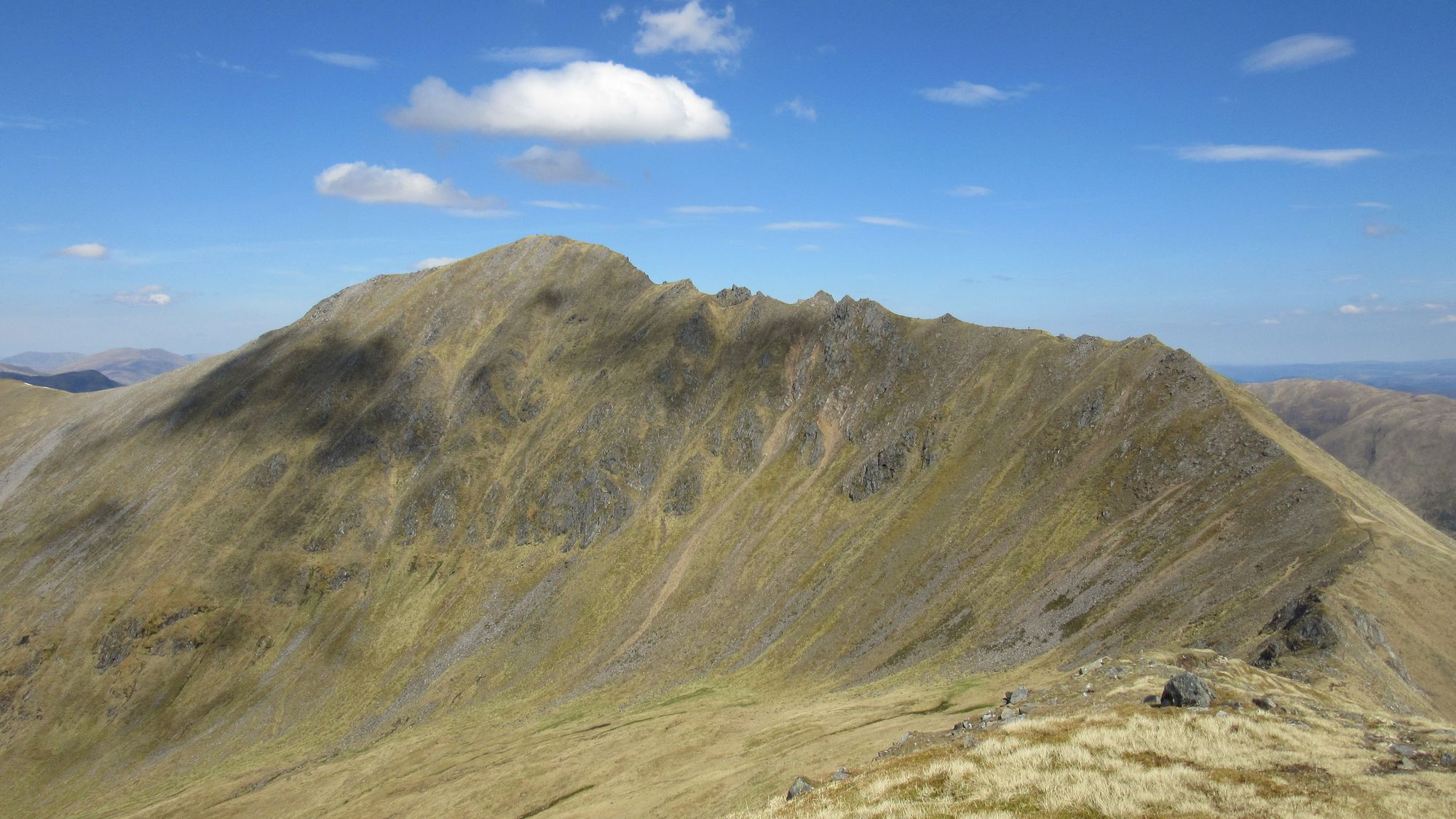
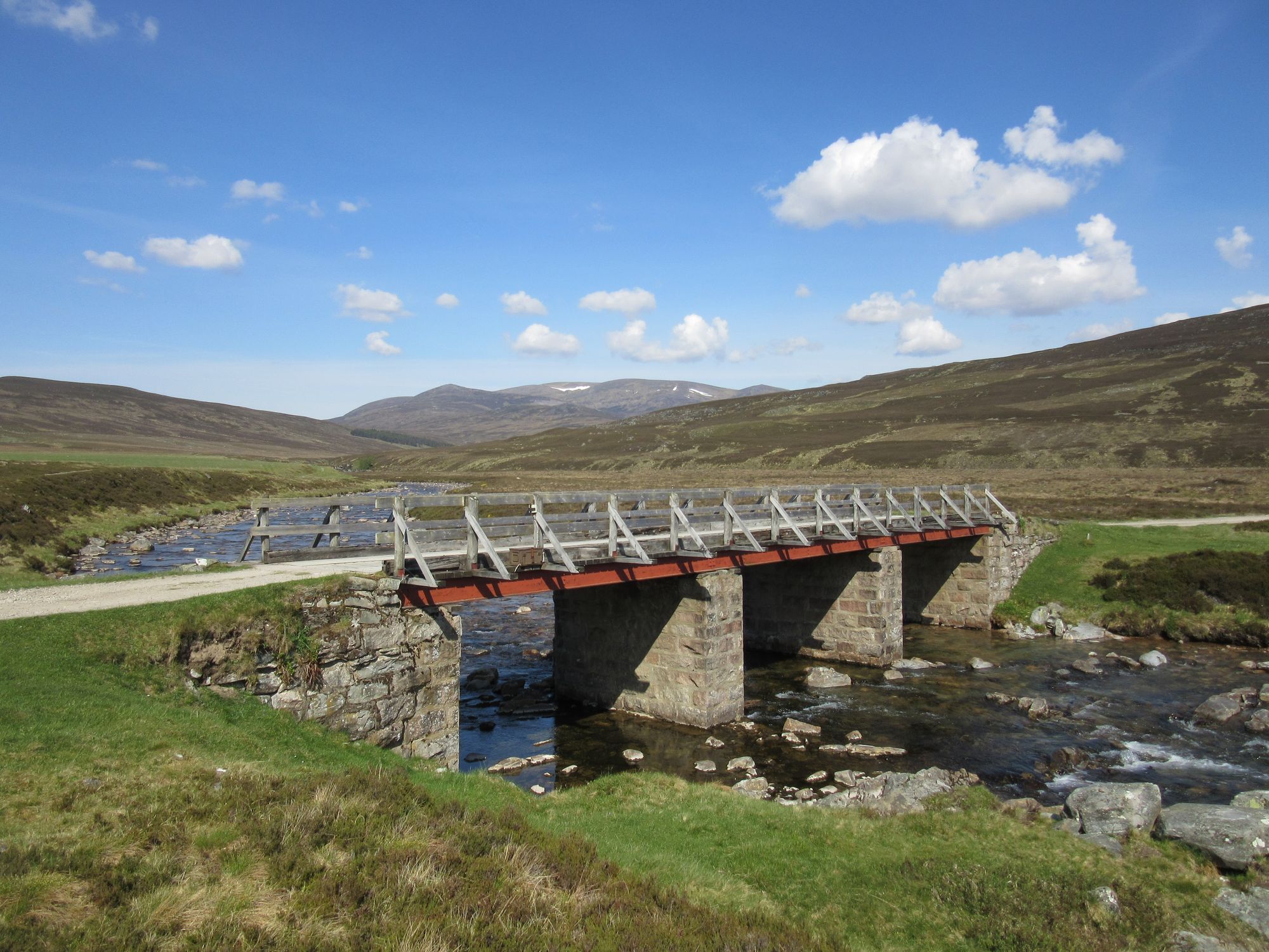
Sgurr nan Conhbhairean (M) – Sail Chaorainn (M) – Carn a’Mhadaidh-ruaidh – An Reithe – Coire Dho (confluence of burns forming River Doe) – Track besides River Doe – Ceannacroc Lodge – Ceannacroc Bridge – A887 – Power Station – <redacted>
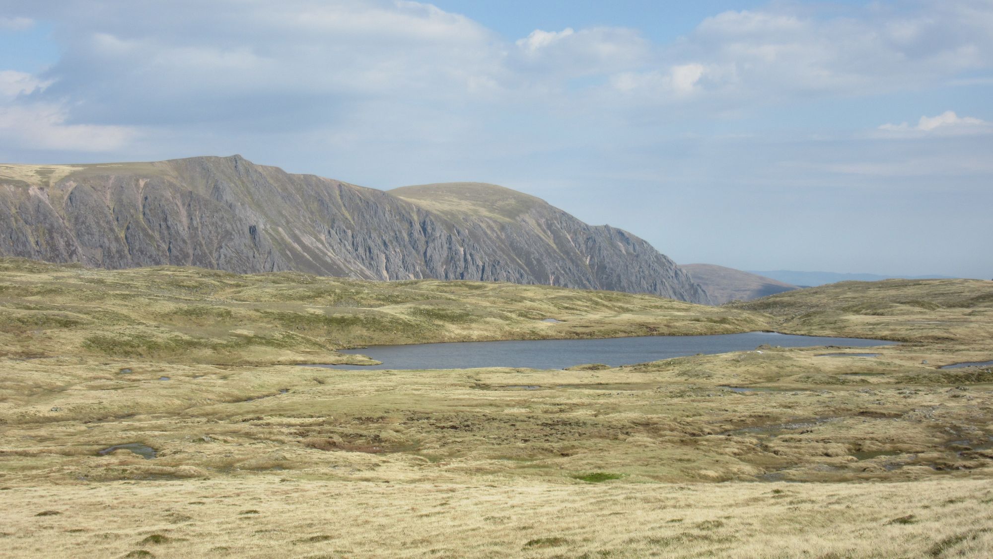
Morning on Sgurr nan Conhbhairean and the view to Sail Chaorainn.
The weather seemed less inspiring today, with rain and possibly thunder forecast for later. Munros and tops in this area were already in the bag for my second round, so my plan took me north to Sail Chaorainn and then a slight backtrack to descend down the spur of An Reithe to Coire Dho and along the track besides the river to Ceannacroc Lodge.
Descending from Sgurr nan Conhbhairean and Sail Chaorainn to Ceannacroc Lodge.
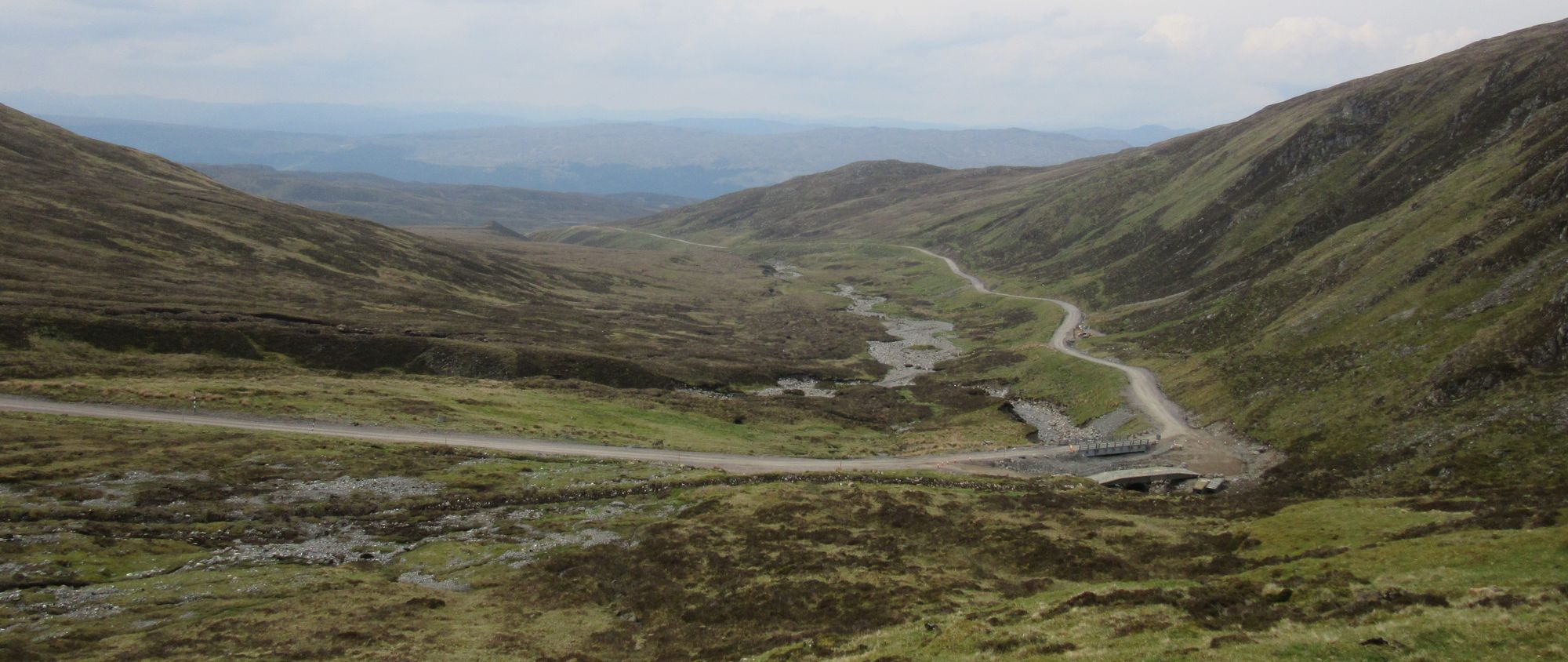
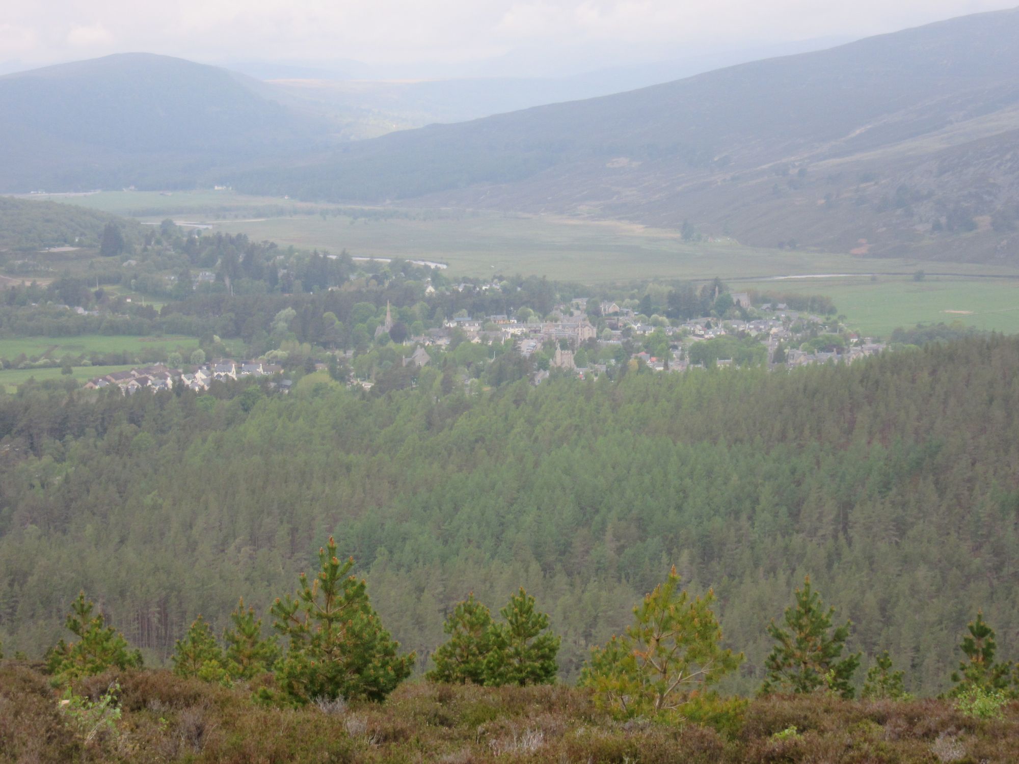
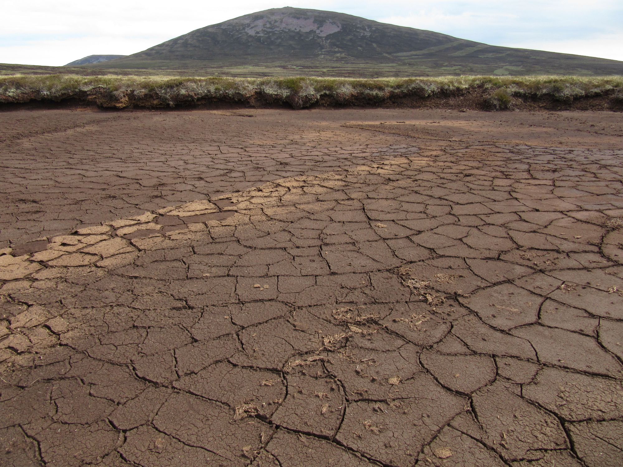
After the River Moriston was crossed at the old bridge, I was reluctant to walk along the A887 for the stretch needed and instead decided to explore east along the old track besides the river... unfortunately it simply ends abruptly and there was some awkward squeezing through a gap in a deer fence and then a climb over a barb-wire fence to escape to the A-road. What's more, I was now further east than I needed to be by not much less distance than if I'd simply got onto the road as I'd planned.
A short road walk (fortunately with wide verges) took me to the windfarm power station, from where I could access wind-farm tracks traversing the slopes of Meall Dubh. I will not go into details as I understand the estate prefers to keep the specific location unidentified online, but after a bit of a wander through the wind farm, some hellishly rough moorland - plus a gate climb and two deer fence climbs - I arrived at a rather nice bothy (a non-MBA one) just in time to avoid the heavy showers which persisted all evening with occasional rumbles of thunder heard.
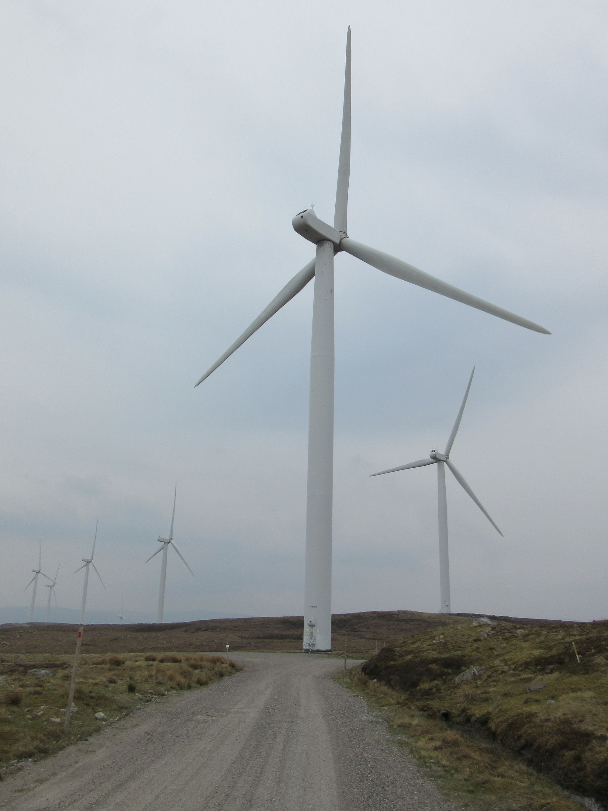
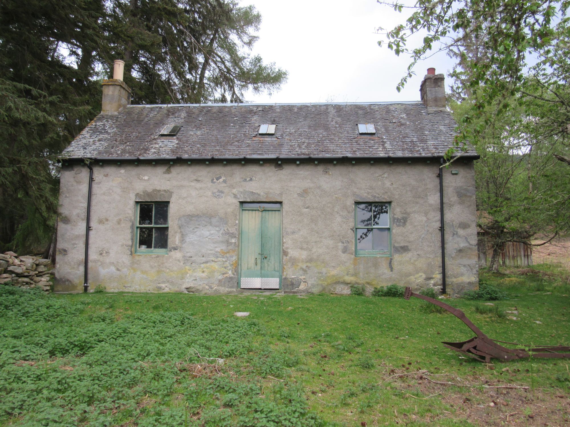
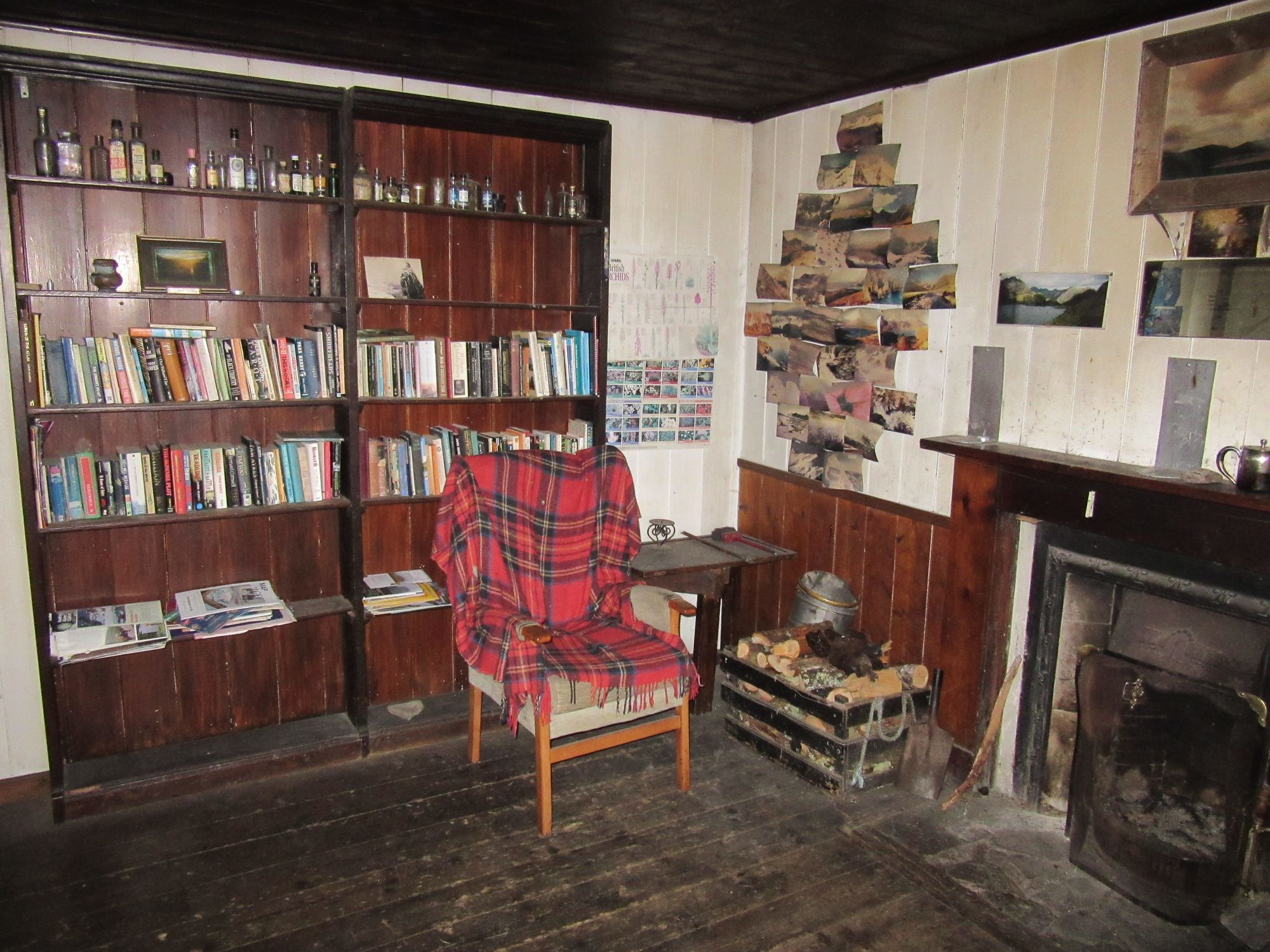
Through a wind farm to a bothy with a library.
This bothy is particularly notable for the upstairs landing being papered with old newspapers from the 1940s.
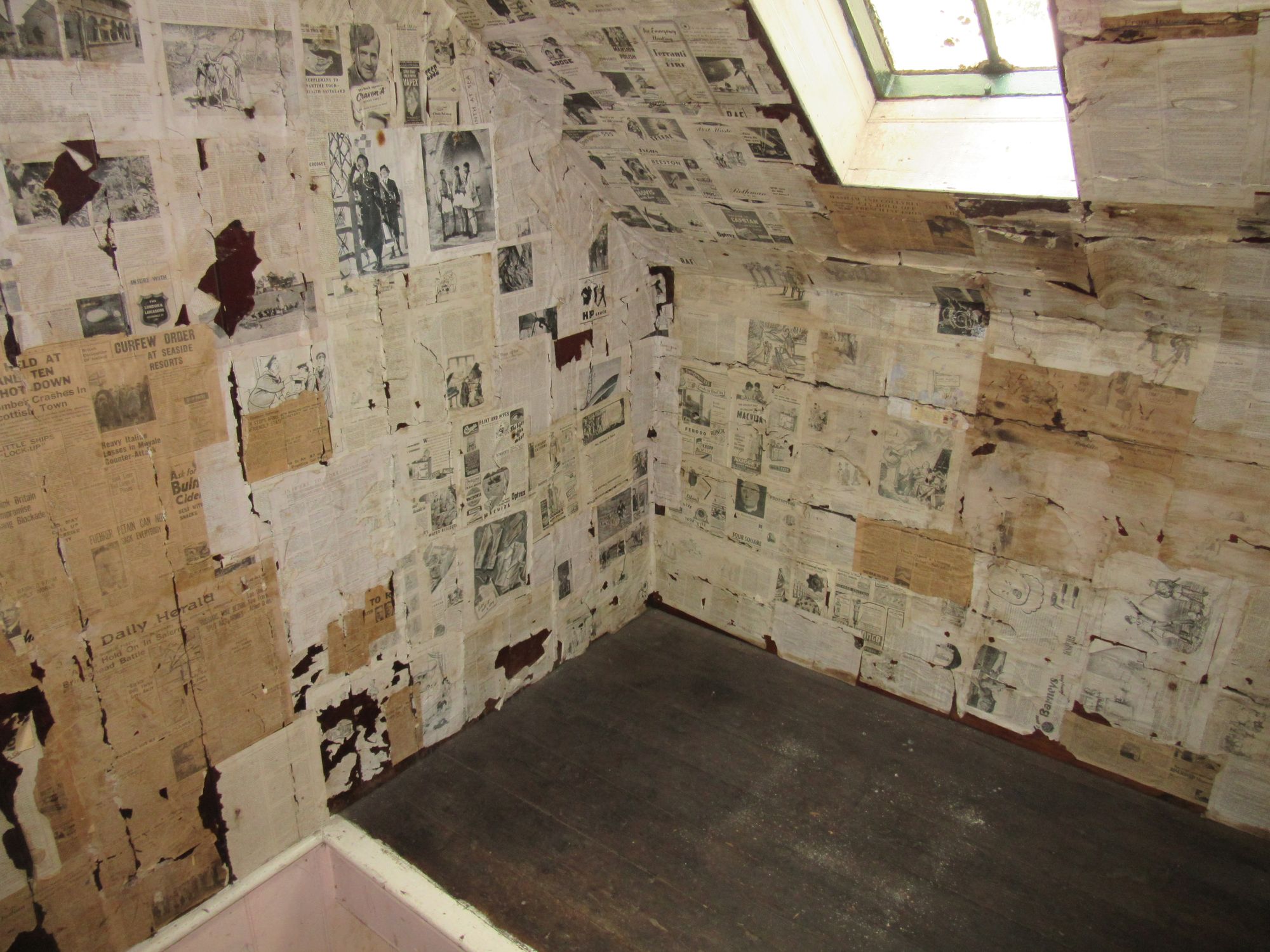
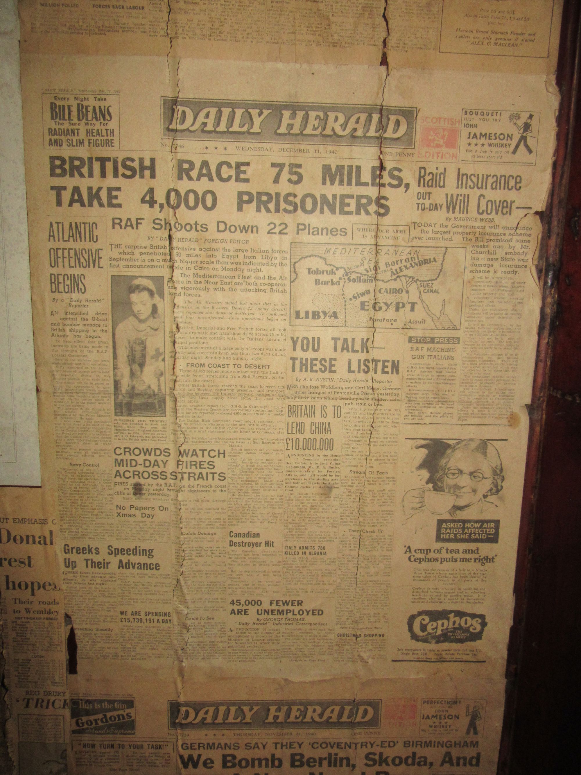
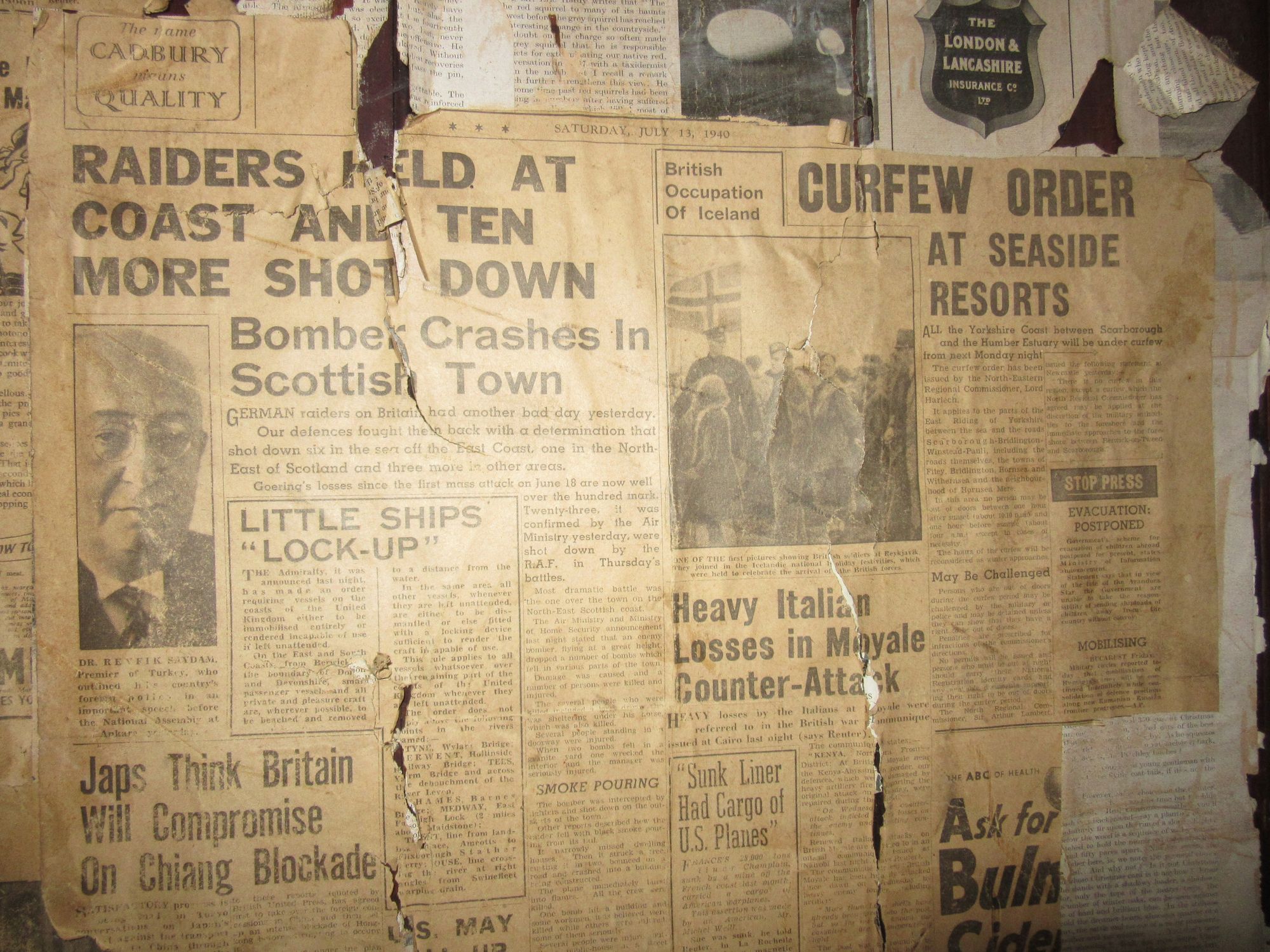
Time warp bothy decor.
Day 4
<redacted> – Fort Augustus – B862 – track at NH401090 – track up Glen Doe to Coire Doe – Lochan na Stairne – track to N of reservoir – W on windfarm tracks
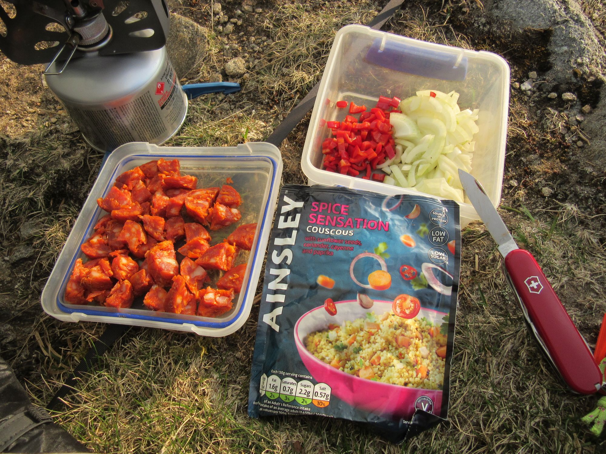
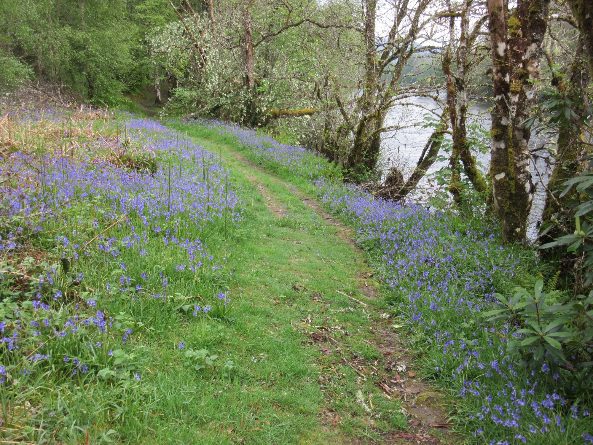
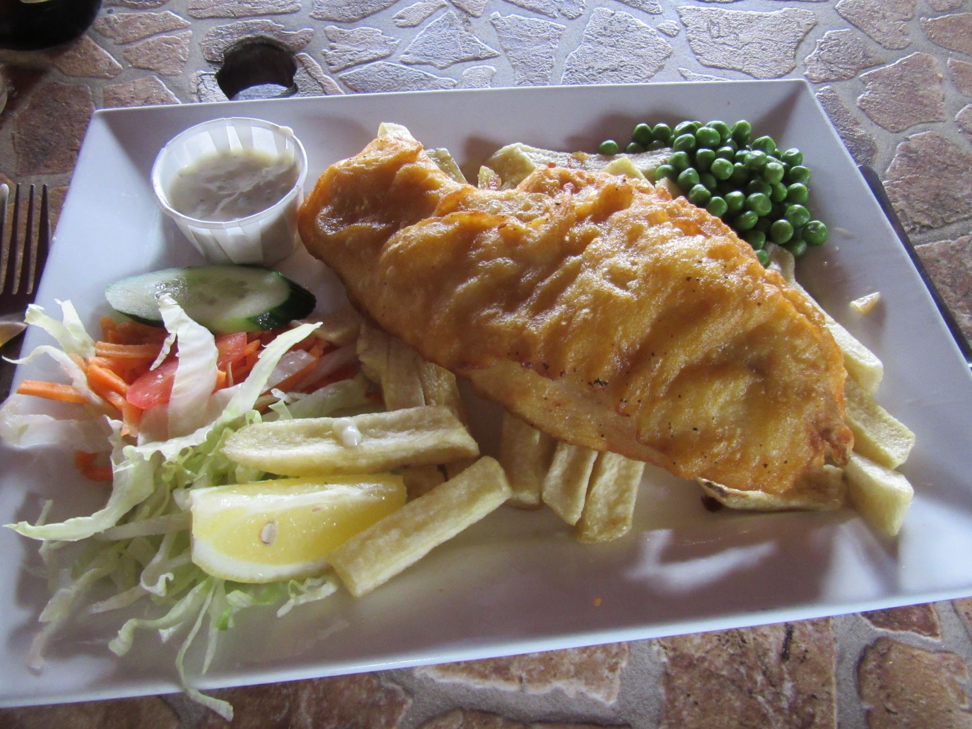
From the bothy, I made my way through bluebell woods (with much evidence of winter storm damage) into a busy Fort Augustus. There were quite a few people with big backpacks around, but none of them seemed to be TGOers! Gorged on coffee-and-cake and then fish-and-chips, and picked up a gas can from the "Tarff Trading" store just in case my resupply plan in Kingussie in a couple of days fell through (a Covid scare was brewing back home!)
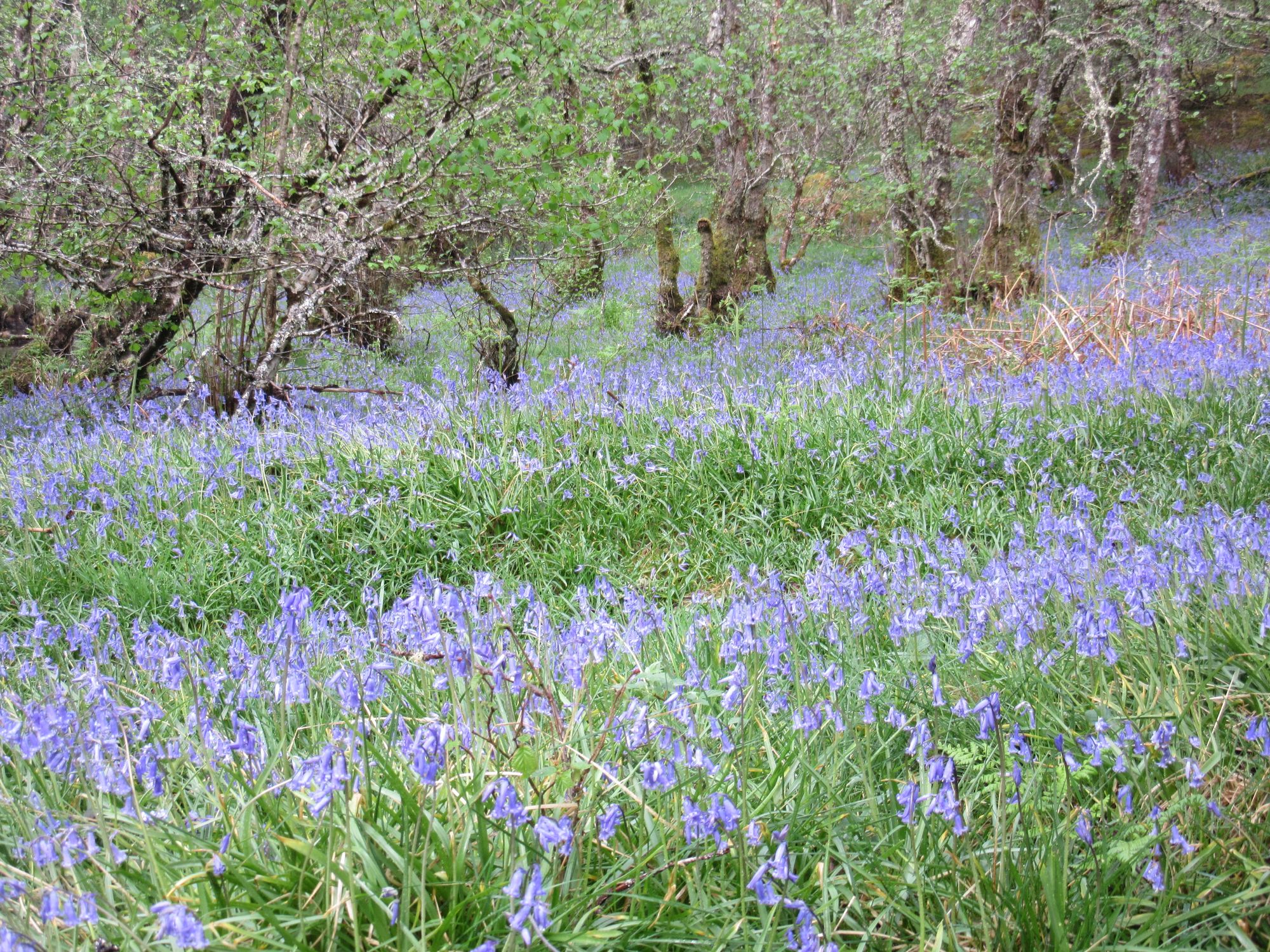
Through the woods to Fort Augustus.
From Fort Augustus I skirted the south end of Loch Ness and found a new-looking path (The South Loch Ness Trail?) besides the B862 usefully avoiding what I'd expected to be some road walking.
Leaving Fort Augustus.
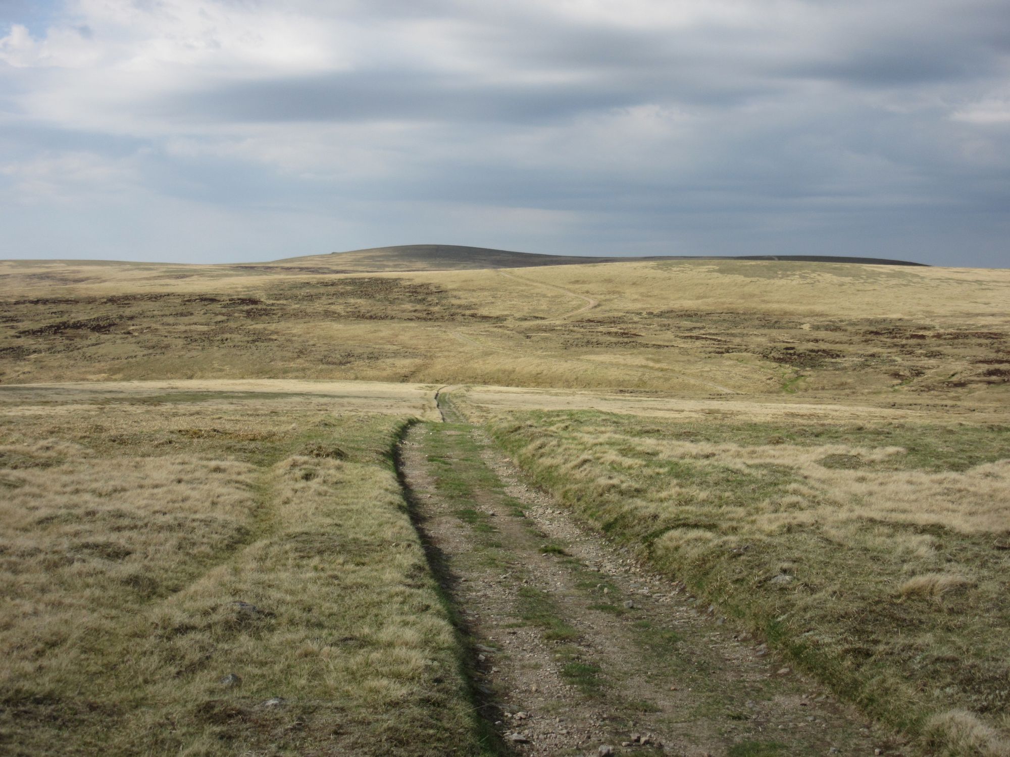
Turning off that, it was a long plod into the middle of the Glen Doe wind farm. I met some other day-walkers on the access track who said they'd been turned back "by a man in an SSE van" on the grounds "it was an active construction site" or something like that; this would have been a major setback (or at least forced a diversion onto far rougher terrain) so I simply pressed on. There did seem to be a major exodus of vehicles and trucks - around 15:00-15:30 was clearly "knocking off time" - but no-one did anything but wave at me.
The long march up the Glendoe access track and past Lochan na Stairne.
My original plan had been to camp by Lochan na Stairne, but if walking through the windfarm during working hours was going to be an issue I decided I'd best carrry on and make some progress through it while it was quiet.
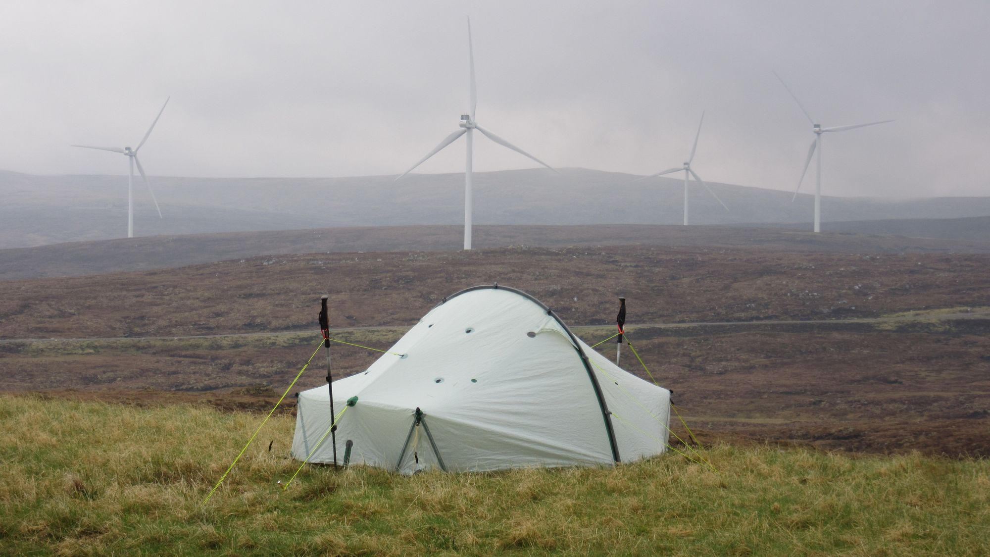
Clearing the highest point on the track finally revealed the reservoir and the wind farm (and also a curious metallic-looking structure in the distance I subsequently learned was the Glendoe Eagle sculpture). The scale of the landscape is vast; it was still at least another hour's walking until I was even anywhere near the first wind turbine!
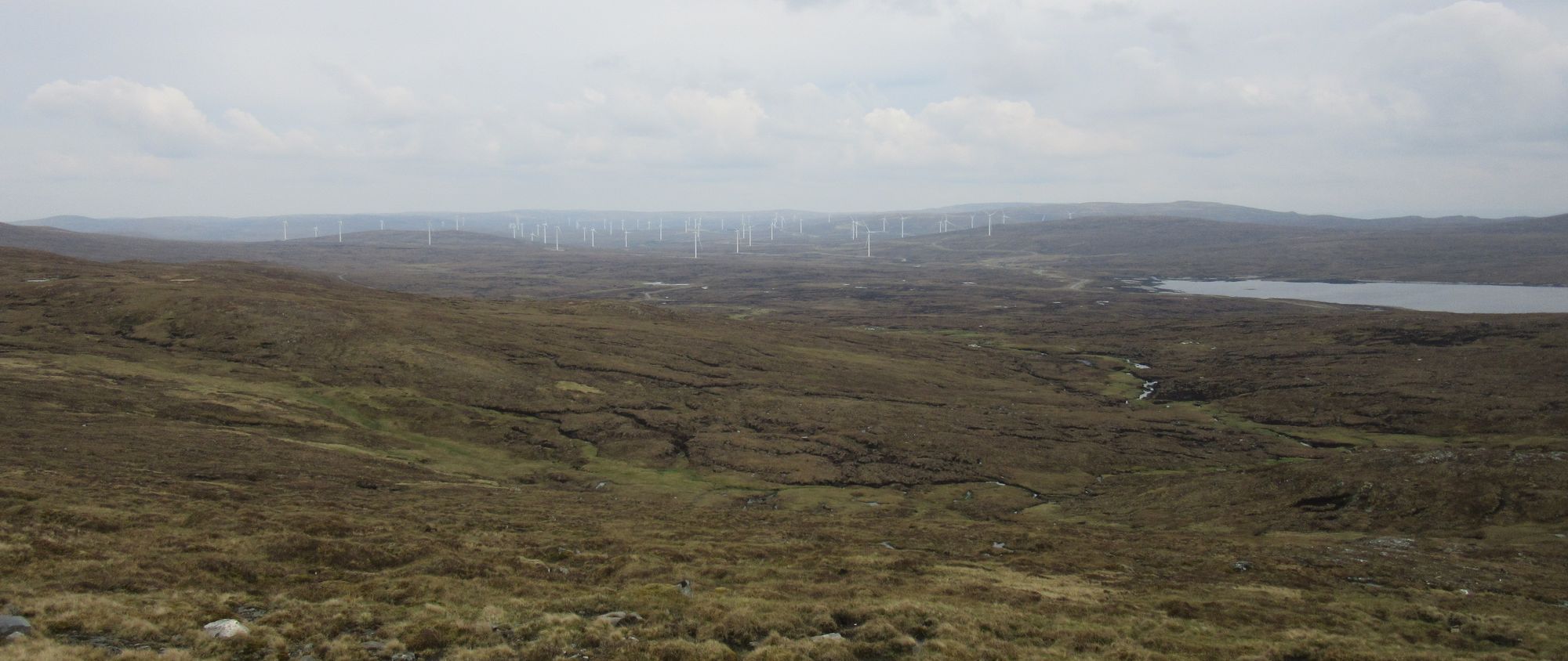
The wind farm and reservoir comes into view.
With rain brewing, I eventually stopped a little east of the huge building in the centre of the wind farm, figuring that as I was now more than half-way across I was unlikely to get chased out by someone wanting to send me back the way I'd come. Grassy earth embankments besides the windfarm tracks provided a better drier pitch than any of the boggy mire further away.
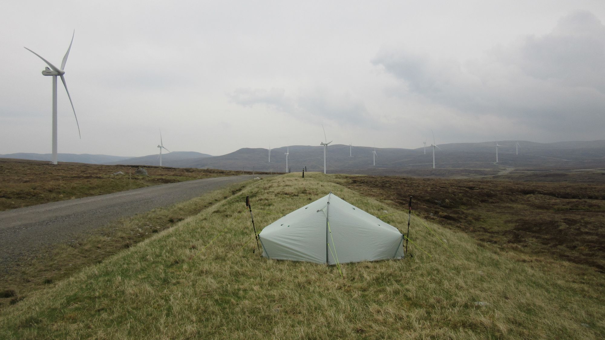
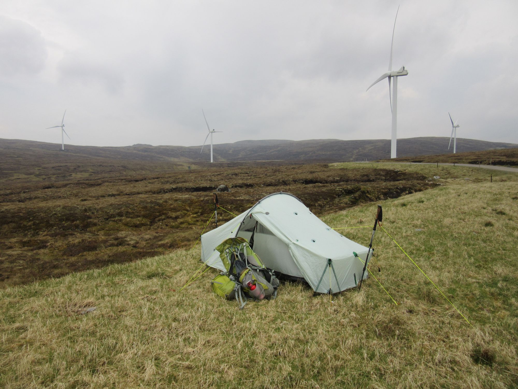
Mid Glendoe wind-farm cap (with some brown Monadhliath burn water).
Day 5
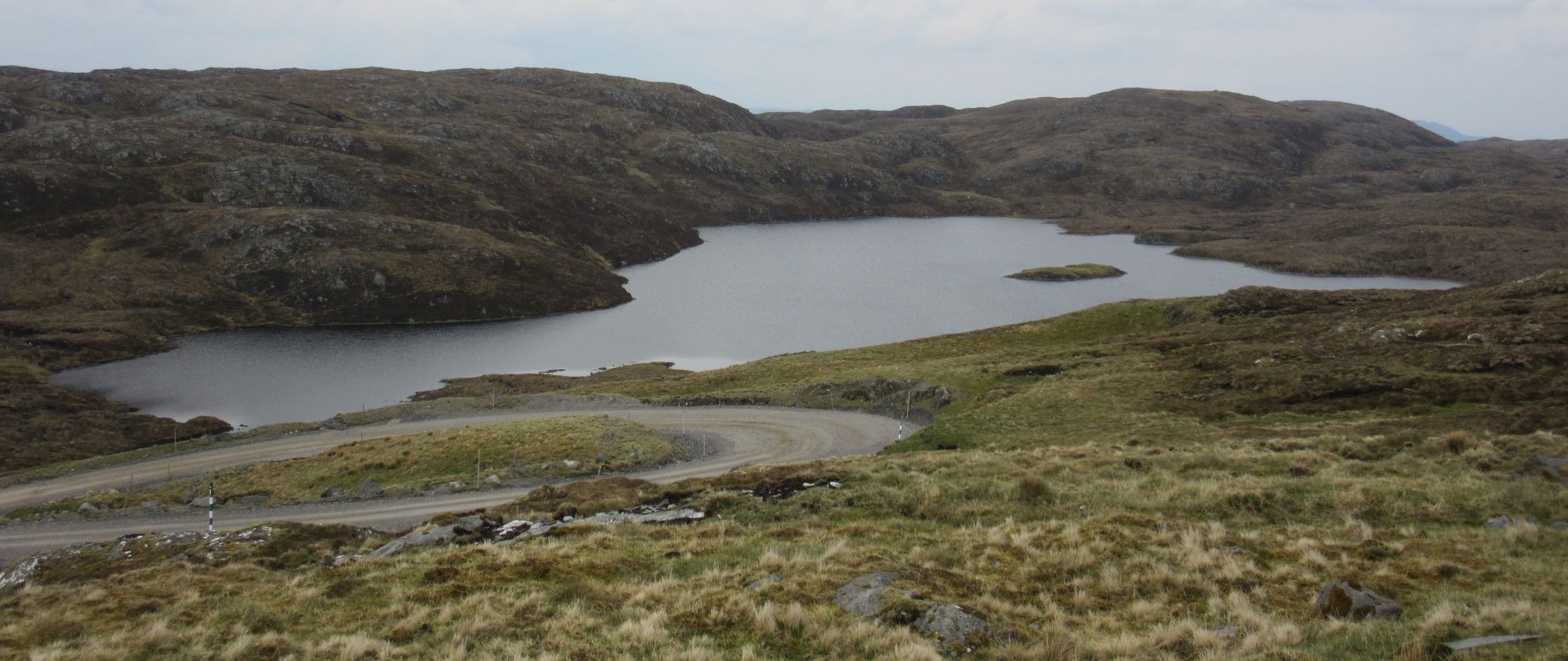
Windfarm tracks then trackless to Carn na Criche – Cairn Ewen–Carn Odhar na Criche – Beinn Odhar – Sneachdach Slinnean – Carn Ban (MT) – Carn Dearg (M) – Carn Ballach (MT) – Meall a’Bhothain – Carn Sgulain (M)
A murky, bluster day with the threat of rain or drizzle always in the air, although it never quite properly arrived.
Camped in Glendoe wind farm in the morning.
I finally escaped from the windfarm's track network onto the open moorland and headed for higher ground. A lone distant figure with a large-ish pack striding eastwards must surely have been another TGOC-er, but they seemed to be taking a compass-bearing direct line while I was navigating from lump-to-lump, and they soon disappeared off ahead of me.
Across the Monadhliath.
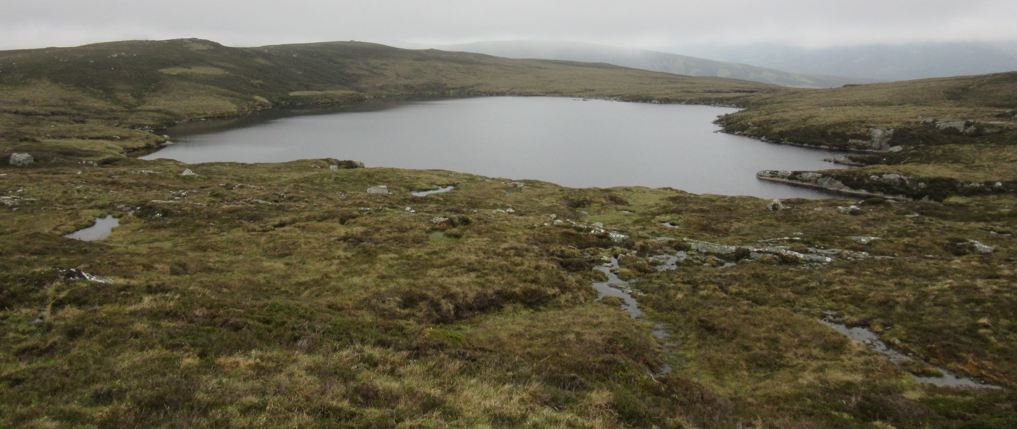
I eventually arrived at the lochan of Sneachdach Slinnean; this was my planned stop for this night on my route sheet, but having pushed on further than planned through the wind farm yesterday I was now around half a day ahead of schedule and it was still far too early to stop.
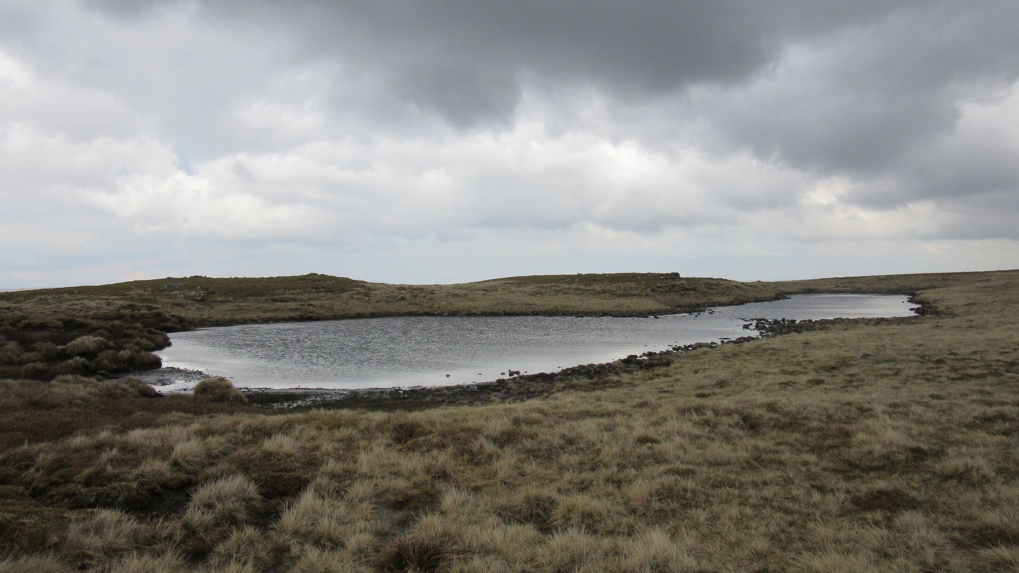
Sneachdach Slinnean.
From there the Munro of Carn Dearg was an easy out-and-back bag, and then it was the standard Monadhliath Munros' "follow the line of fence-posts" thing along the ridge.
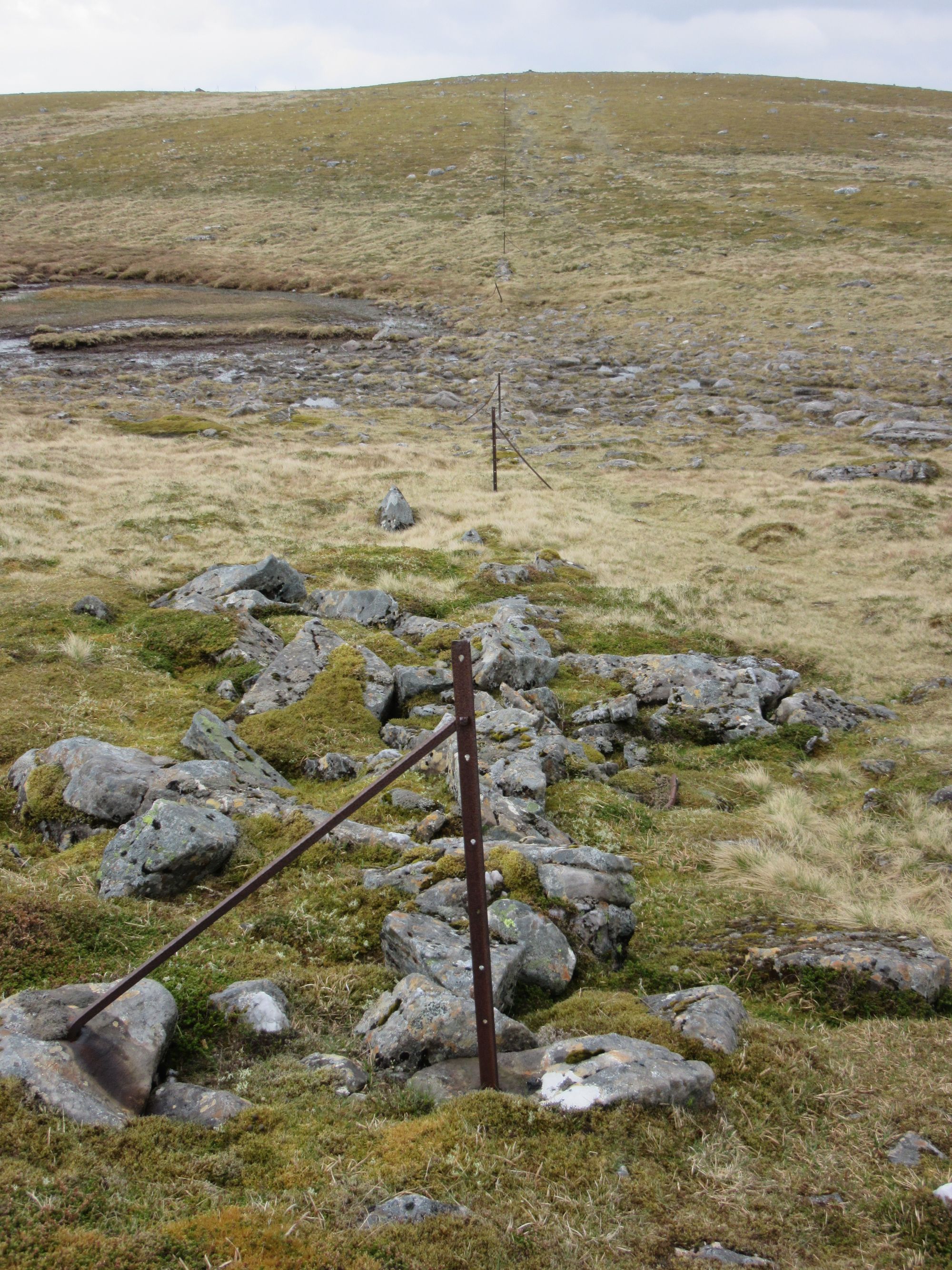
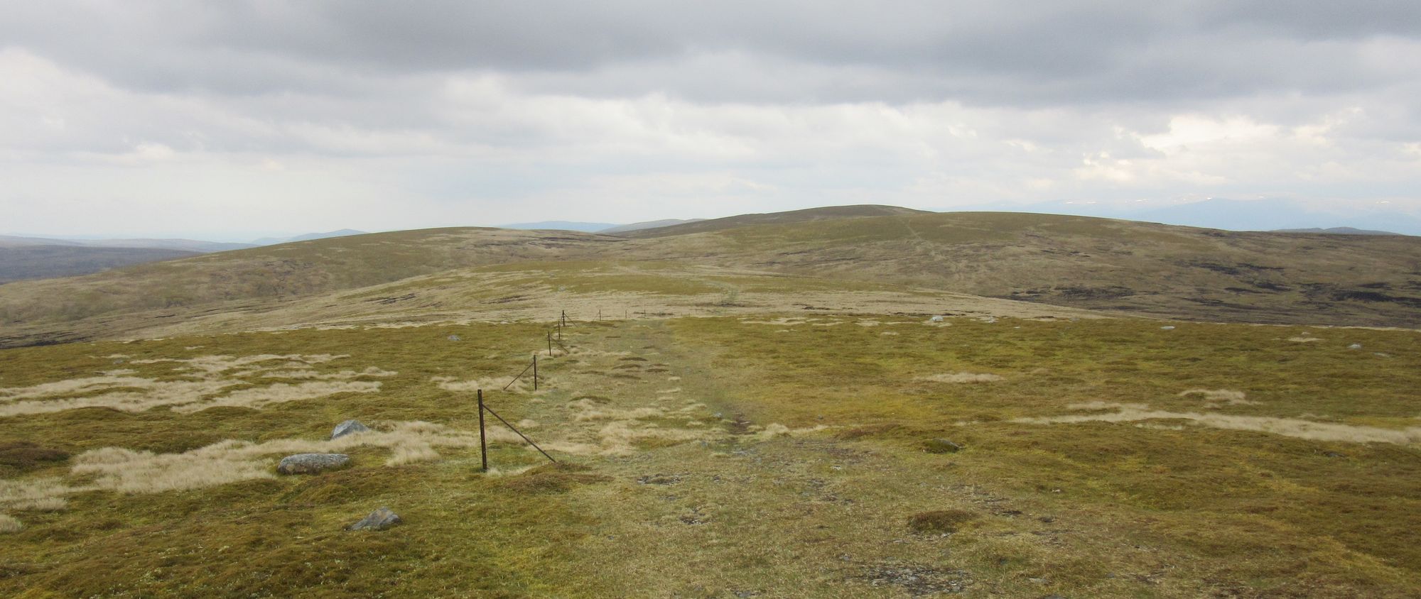
Following the fence posts.
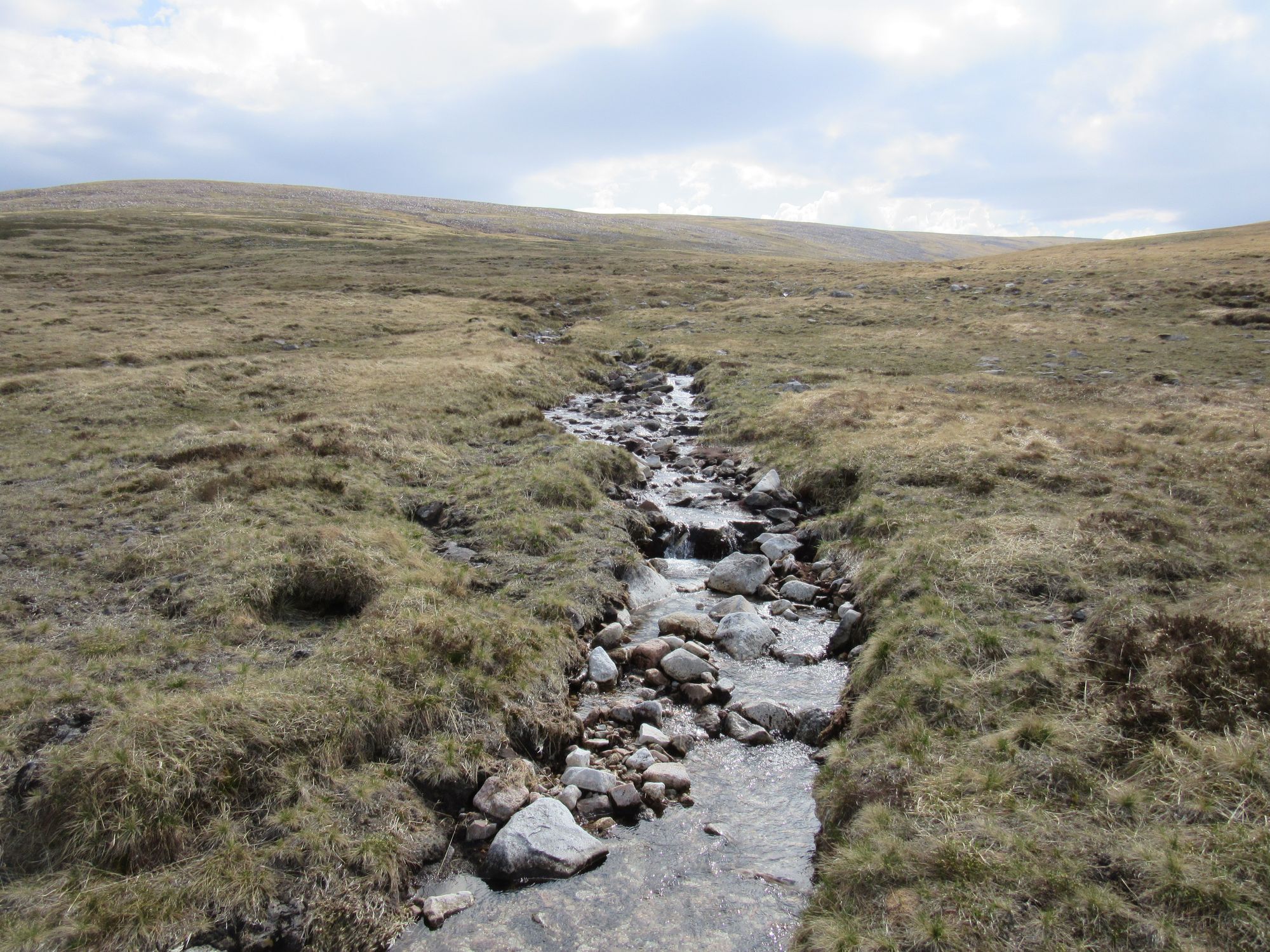
Some useful (and not brown peat-stained!) water was acquired from a gully full of melting snow.
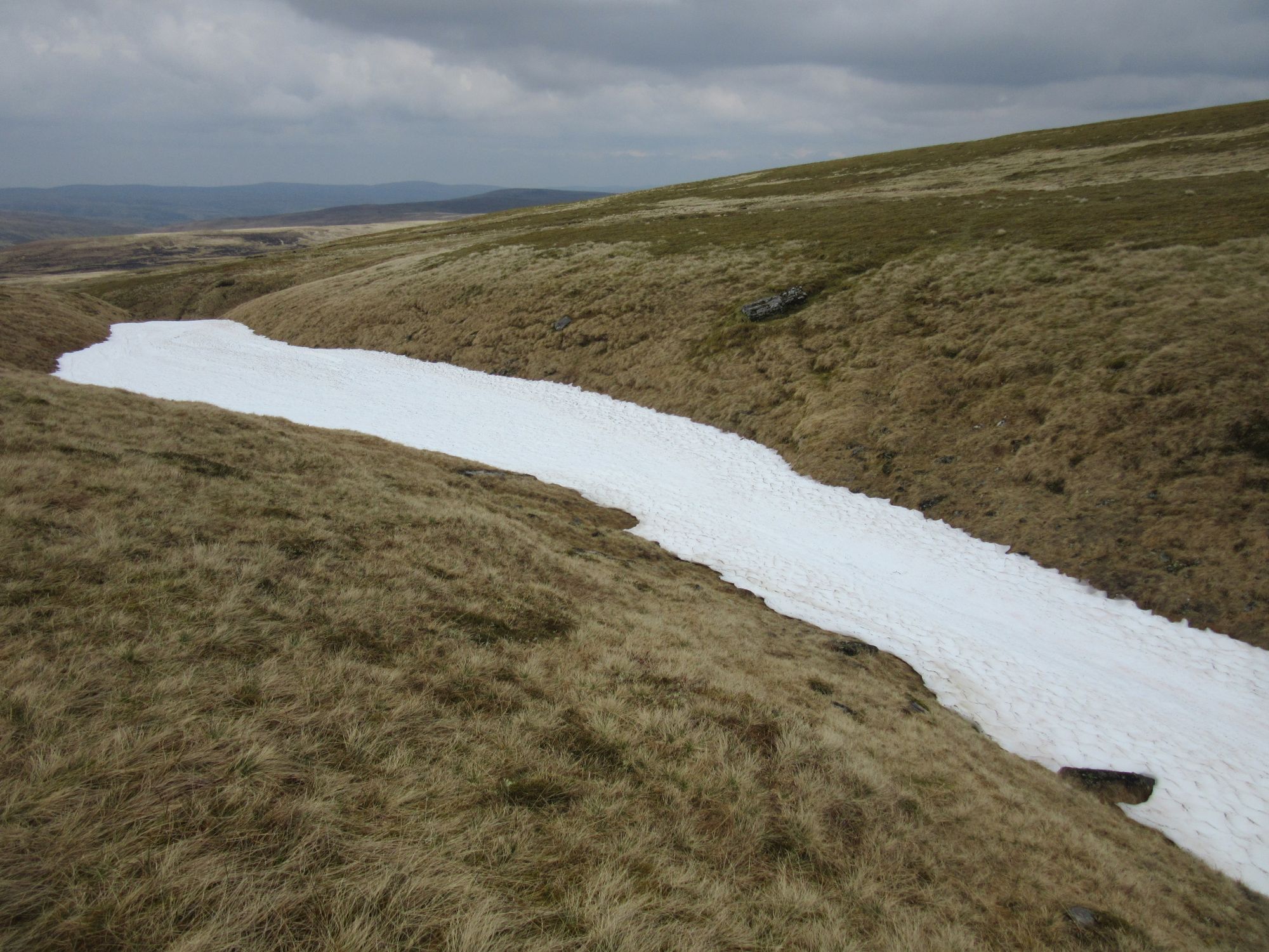
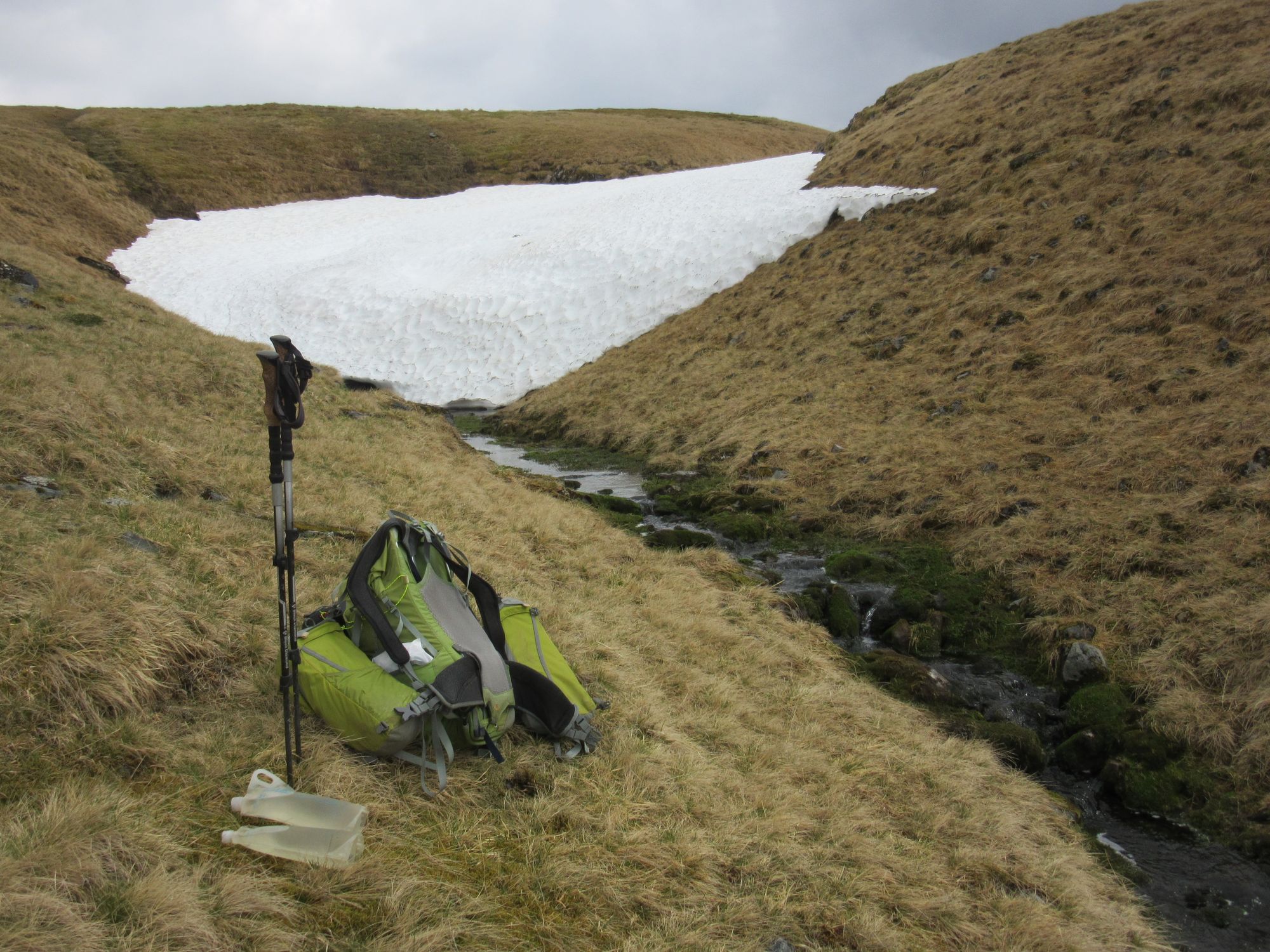
Snowmelt water.
My route was taking me to Kingussie tomorrow night rather than Newtonmore, so I ignored A'Chailleach - the other Munro in the area - and stayed with the high ground onto Carn Sgulain where conditions - although breezy - seemed reasonable for a summit camp. I soon found myself in the clag as the cloud lowered.
Carn Sgulain summit camp under lowering clouds.
Day 6
Carn Sgulain (M) – Am Bodach – Meall na Gearra – join track beside Allt Mor – Pitmain Lodge – Kingussie.
I found myself completely in the cloud this morning. Shortly after leaving camp - with the intention of continuing the line along the high ground eastwards over Am Bodach - I got the compass out, and a little later was puzzled to find myself headed back towards the summit of Carn Sgulain and my campsite! The dreaded "reverse polarity" had struck!
I subsequently - on return from the trip - fixed the compass by following the instructions in the YouTube video here (and using a magnet from a dismantled hard drive too, as shown in the video).
Fortunately I always carry a spare compass (stored separately) and that - OK, and a check of the electronic mapping - let me get back on route in the clouds, although they soon cleared away.
Across the high ground between Am Bodach and Carn a'Bhothain Mholaich.
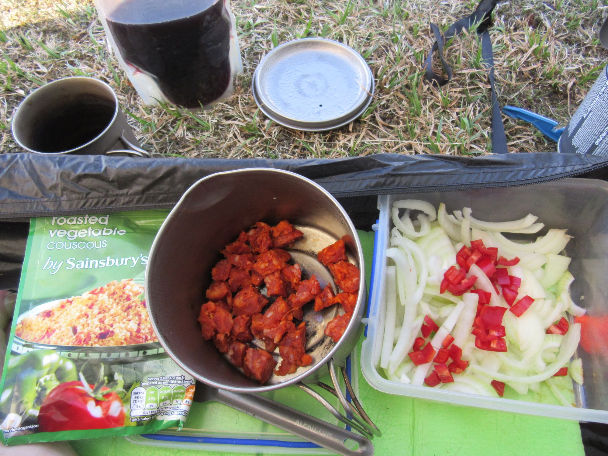
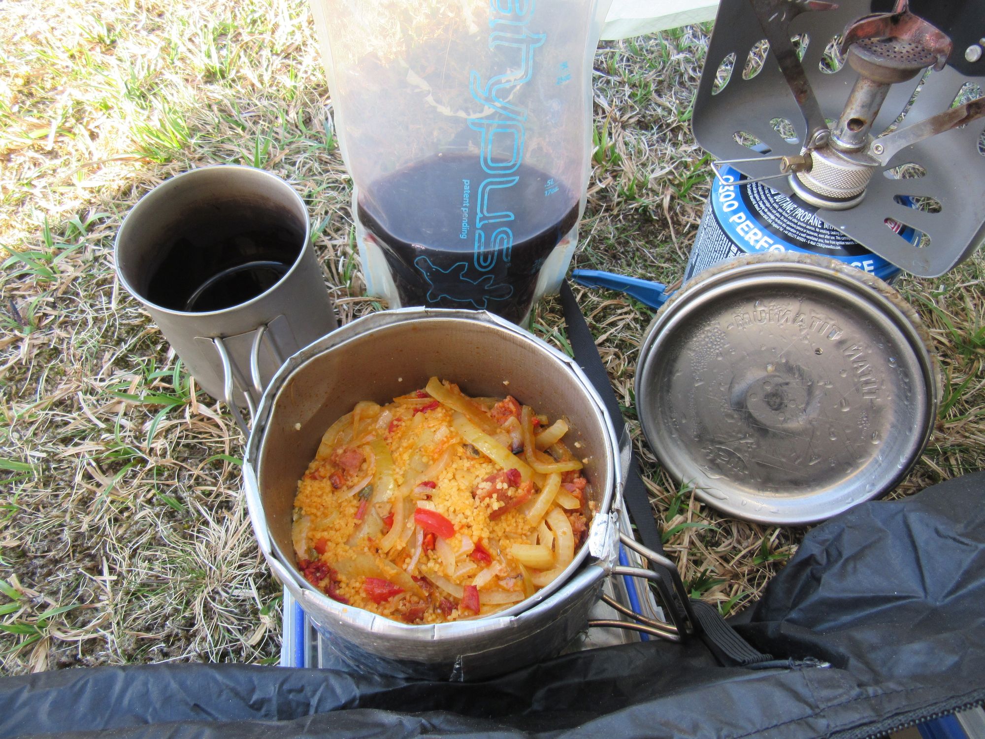
Reaching the estate track before Carn an Fhreiceadain, I headed down past Pitmain Lodge into Kingussie to meet my wife and our dog in town. We stayed in one of The Seelies apartments for the night, which was very pleasant. I loaded the pack up with provisions again, and switched some equipment around.
Day 7
Kingussie – Speyside Way – Tromie Bridge – Drumguish – Baileguish – bridge NN826979 – Glen Feshie – bridge NN850964 – track towards Ruigh Aiteachain bothy – turn off E before bothy up track N side Allt Coire Chaoil – Mullach Clach a’Bhlair (M)
Much better weather today. And many TGOC folks around; the most I'd met since the start. Some who'd also stayed in Kingussie yesterday and others who'd come up from Newtonmore this morning.
I made a late start out of town eastwards towards Glen Feshie and the Cairngorms. It was hot enough for some hardcore TGOCers to be swimming at the Feshie bridge; they did not persuade me in!
East towards Glen Feshie and the Cairngorms.
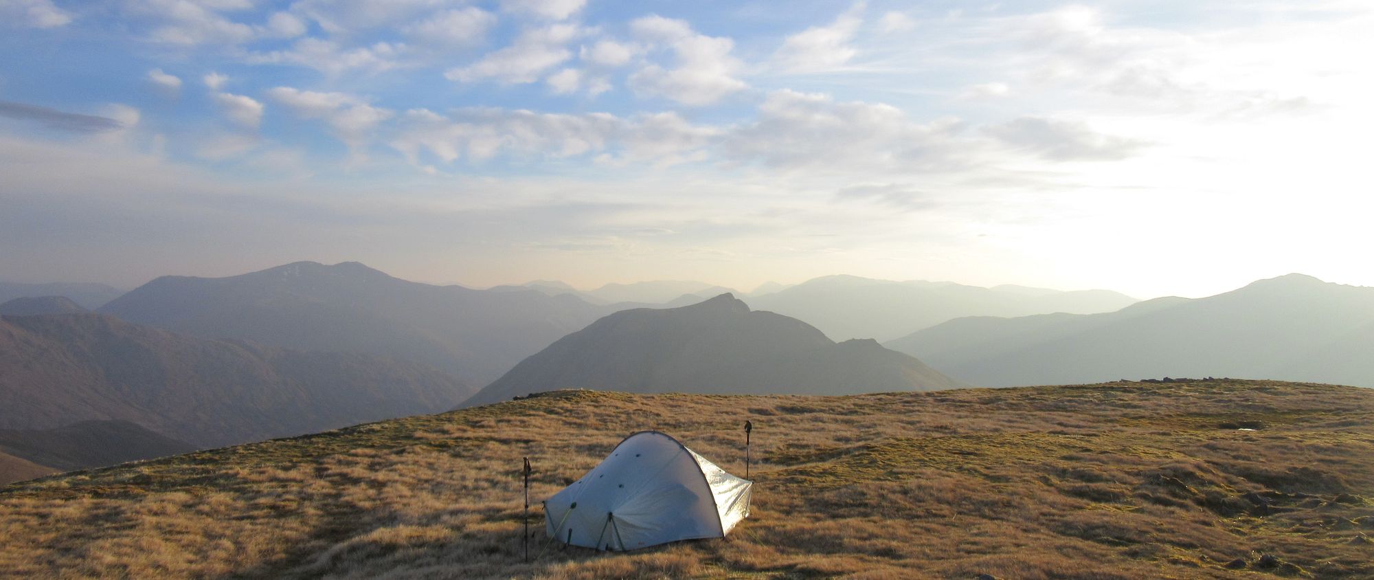
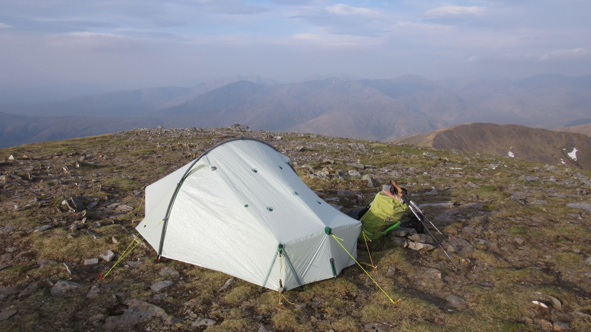
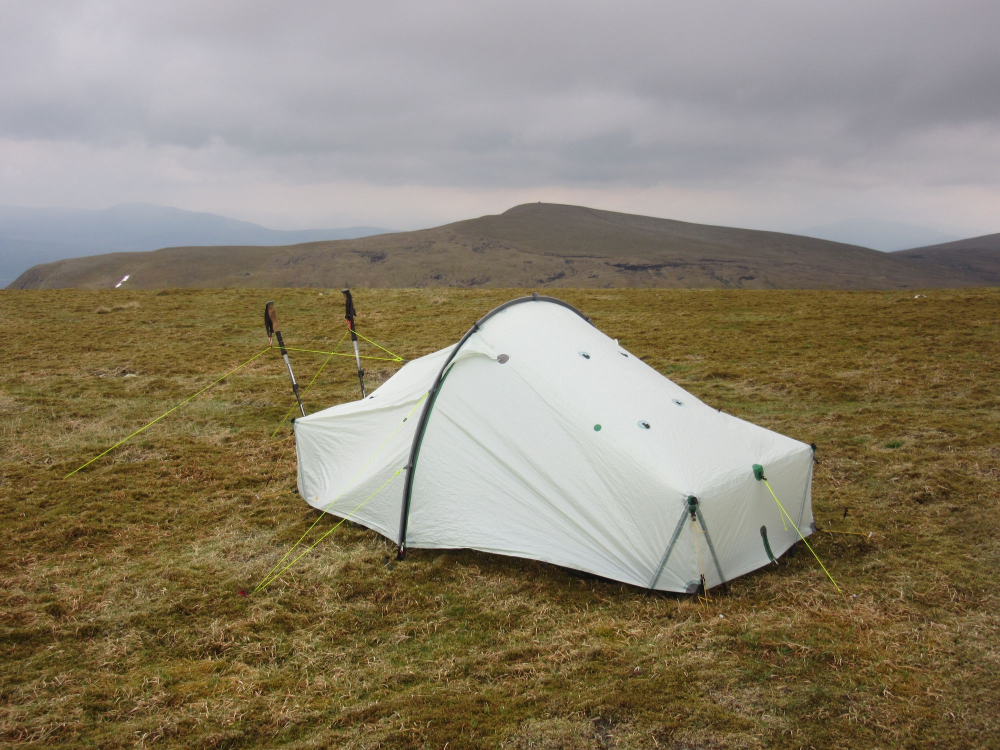
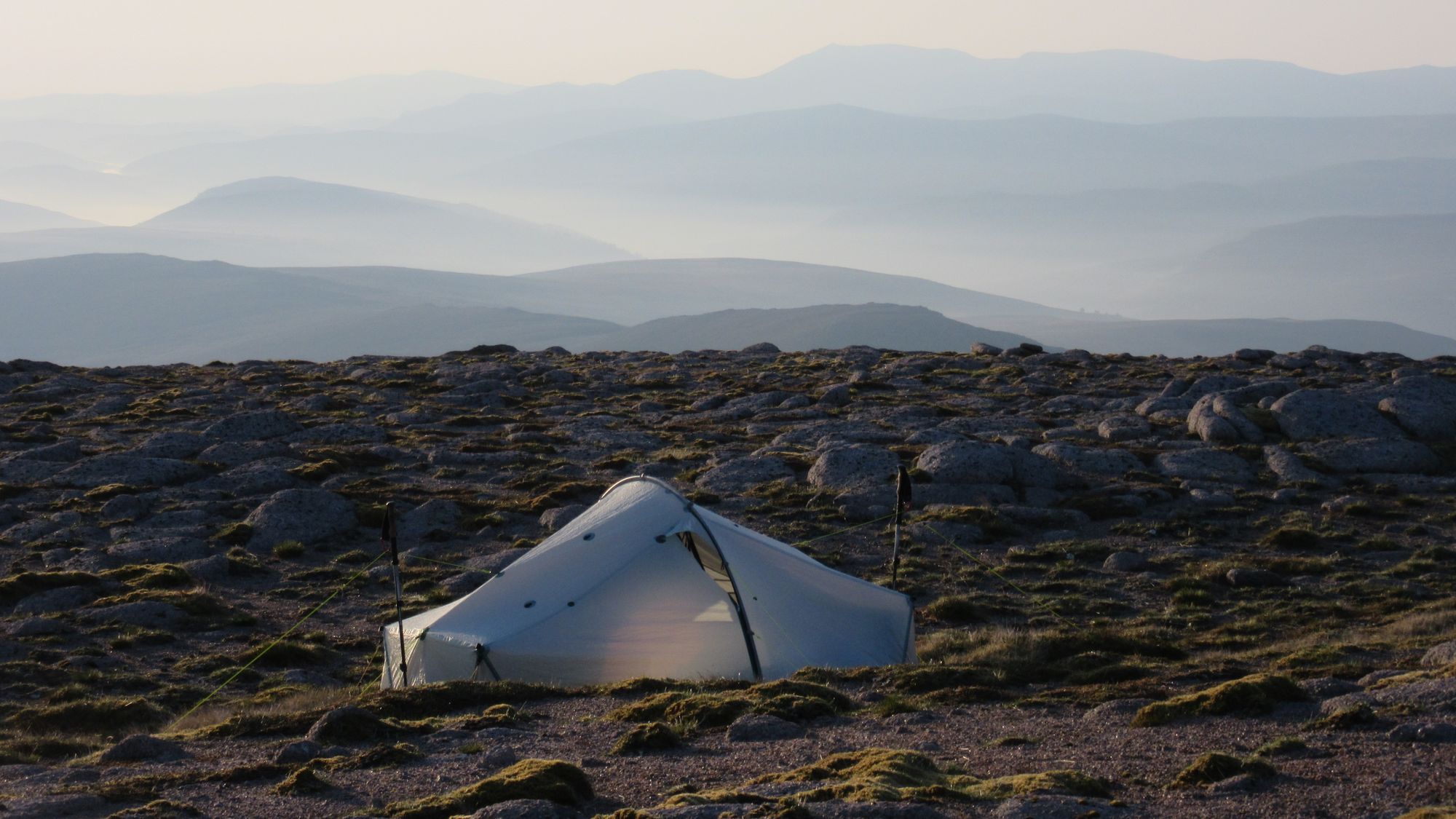
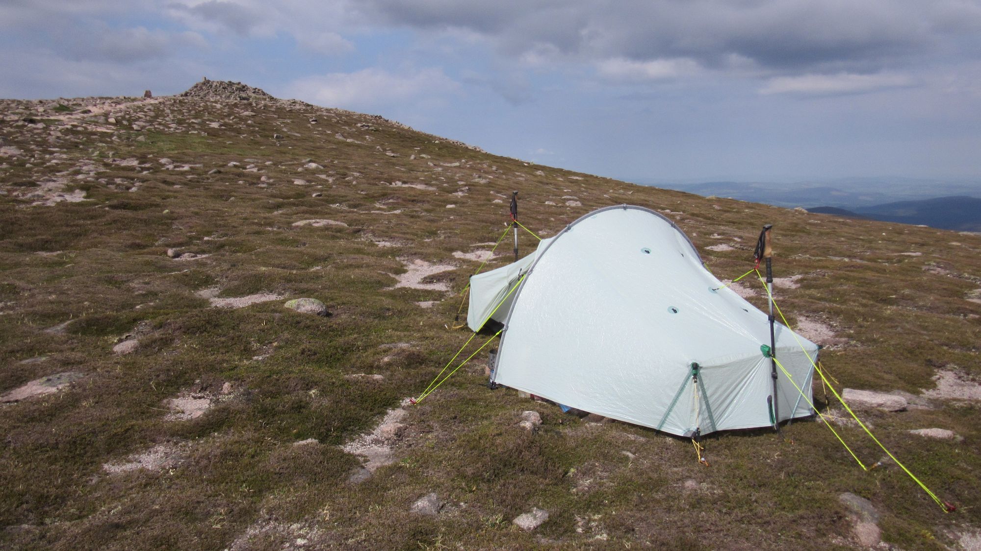
Most TGOC folks on this stretch seemed to be headed a little further south down Glen Feshie to Ruigh Aiteachain (an MBA bothy) - but I turned off at the track climbing to Mullach Clach a’Bhlair as conditions seemed ripe for a summit camp. It turned out it was quite windy up there, but the tent coped well.
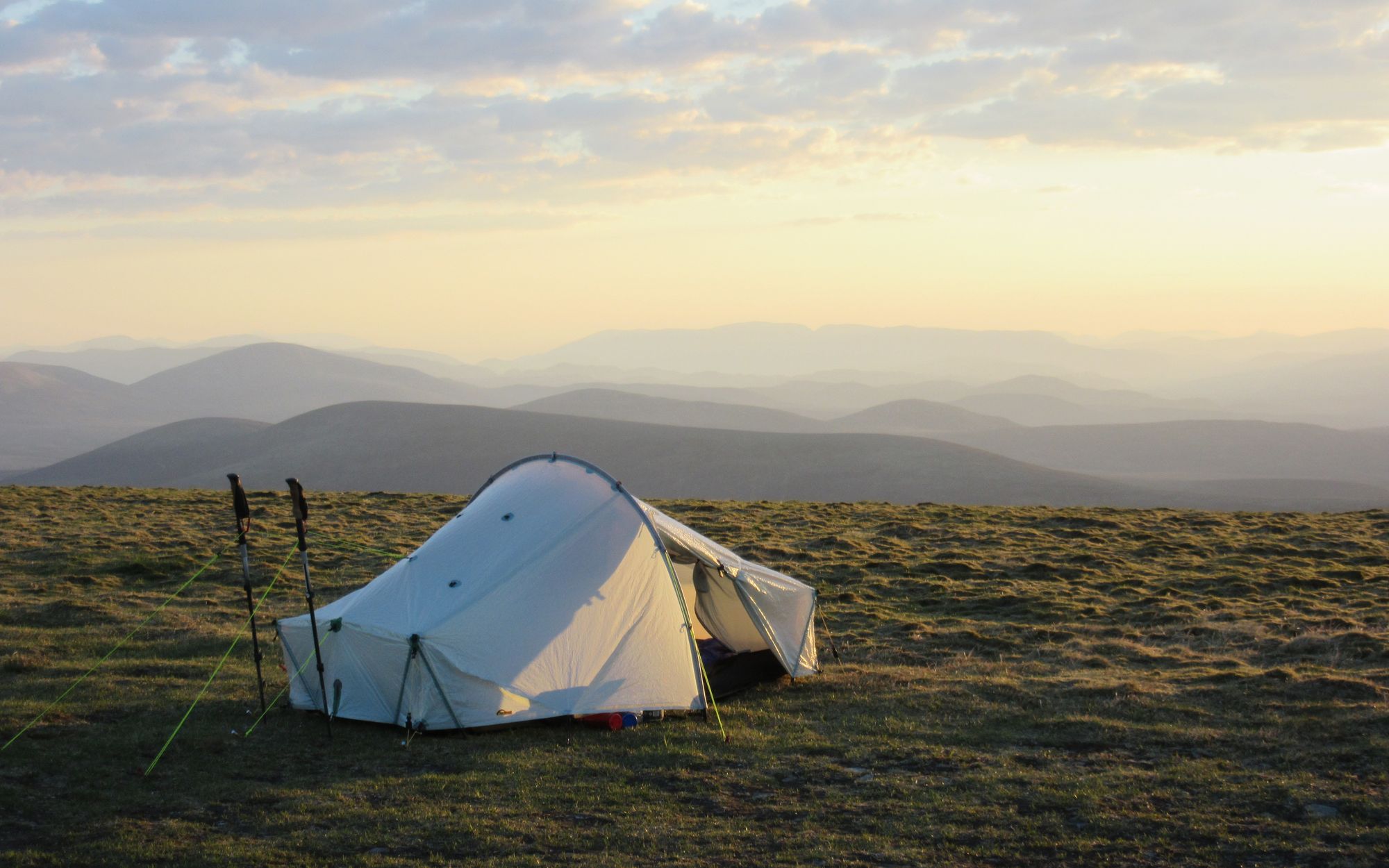
Mullach Clach a’Bhlair summit camp views.
Day 8
Mullach Clach a’Bhlair (M) – track via Pt.953, Moine Mhor, Pt.957, Allt Sgairnich –Tom Dubh (MT) – Monadh Mor (M) – Beinn Bhrotain (M)
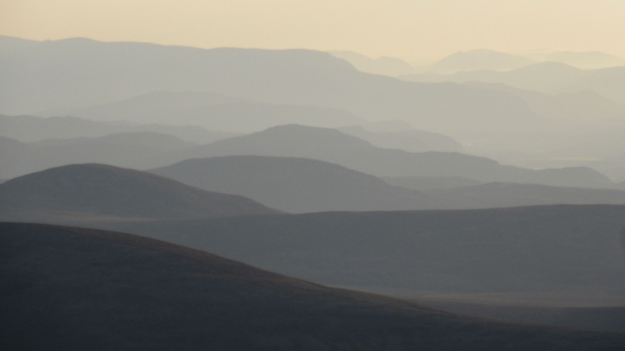
Morning on Mullach Clach a'Bhlair; view towards Sgor Gaoith.
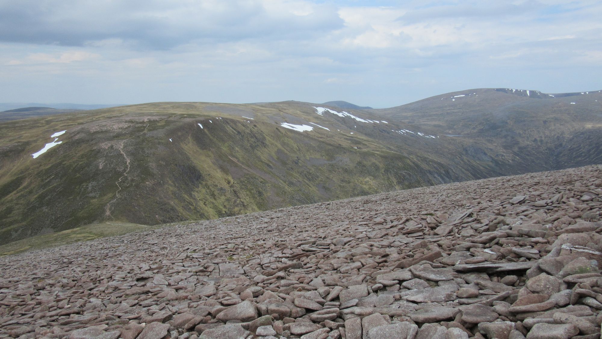
Another fine but still quite breezy day. I was surprised by an early morning visit from a walker with a dog. I made my way along tracks to Tom Dubh and then on to the slopes of Monadh Mor. Some other folks with big packs could be seen paralleling my path a little further north, and later on the trip I met some TGOers who'd been camped up towards Sgor Gaoith that night.
Over the Cairngorm plateau on the way to Monadh Mor.
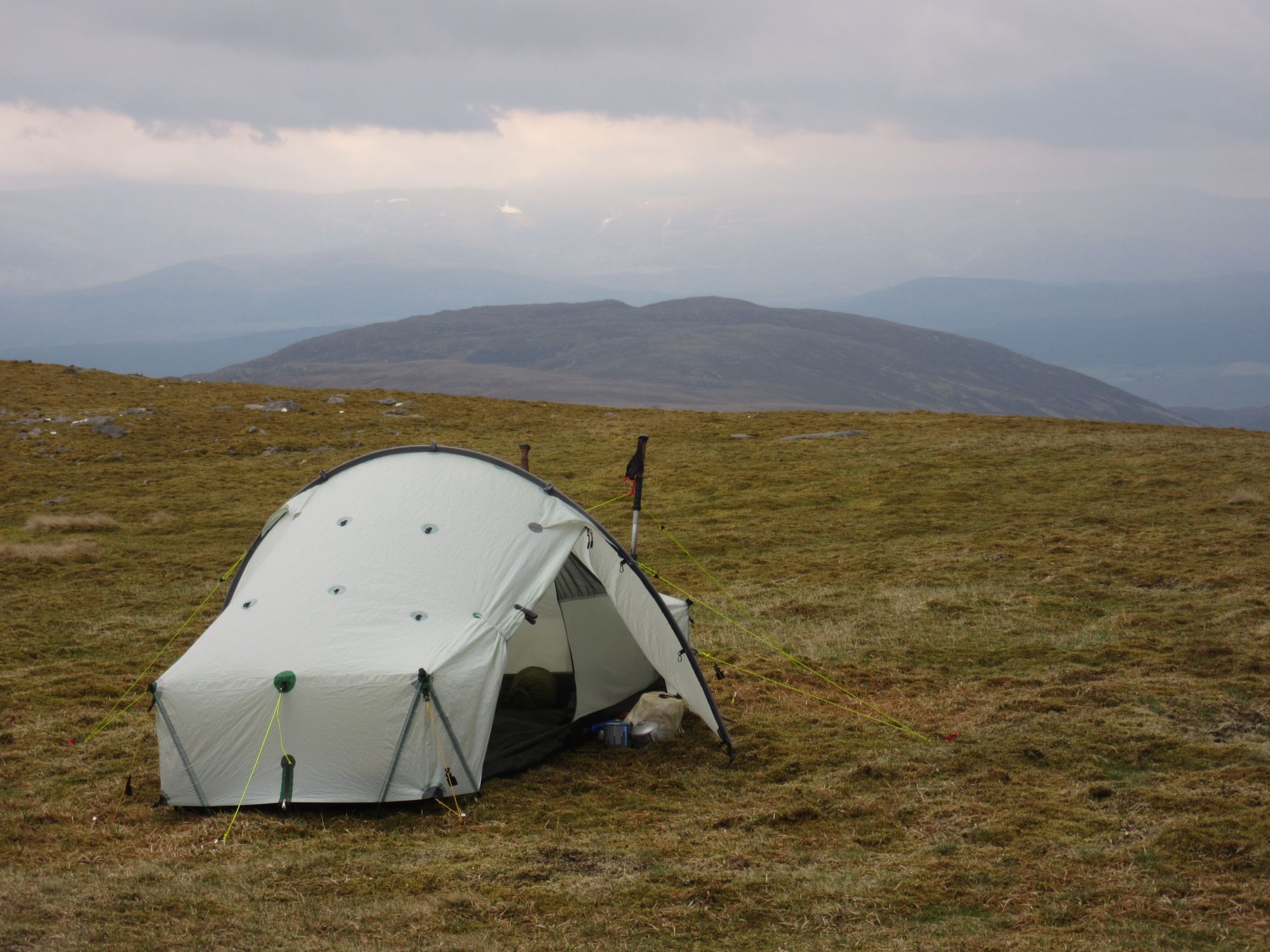
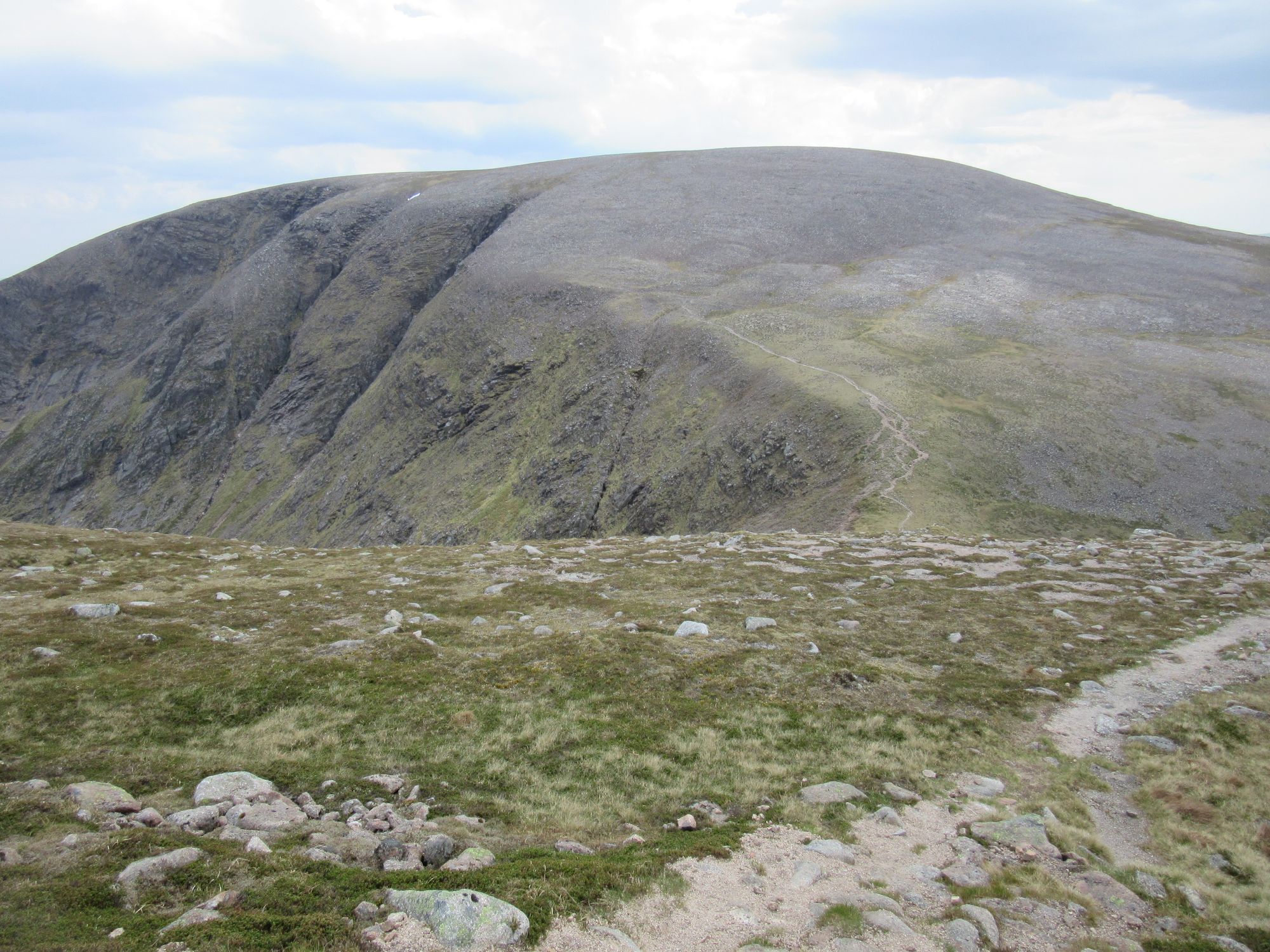
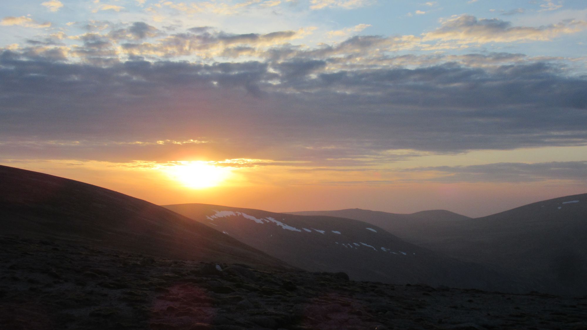
Crossing to Beinn Bhrotain I met another chap up there out on a day trip from Edinburgh. My own plan had me stopping down at White Bridge (or the new Red House bothy would have been an option in terrible weather), but yet again the conditions seemed ideal for a high camp if a little more sheltered spot could be found. Beinn Bhrotain's summit was far too rocky and exposed (although the wind did drop off significantly later) but my route vetter had recommended a visit to the adjacent not-a-top lump to the east and I took a look.
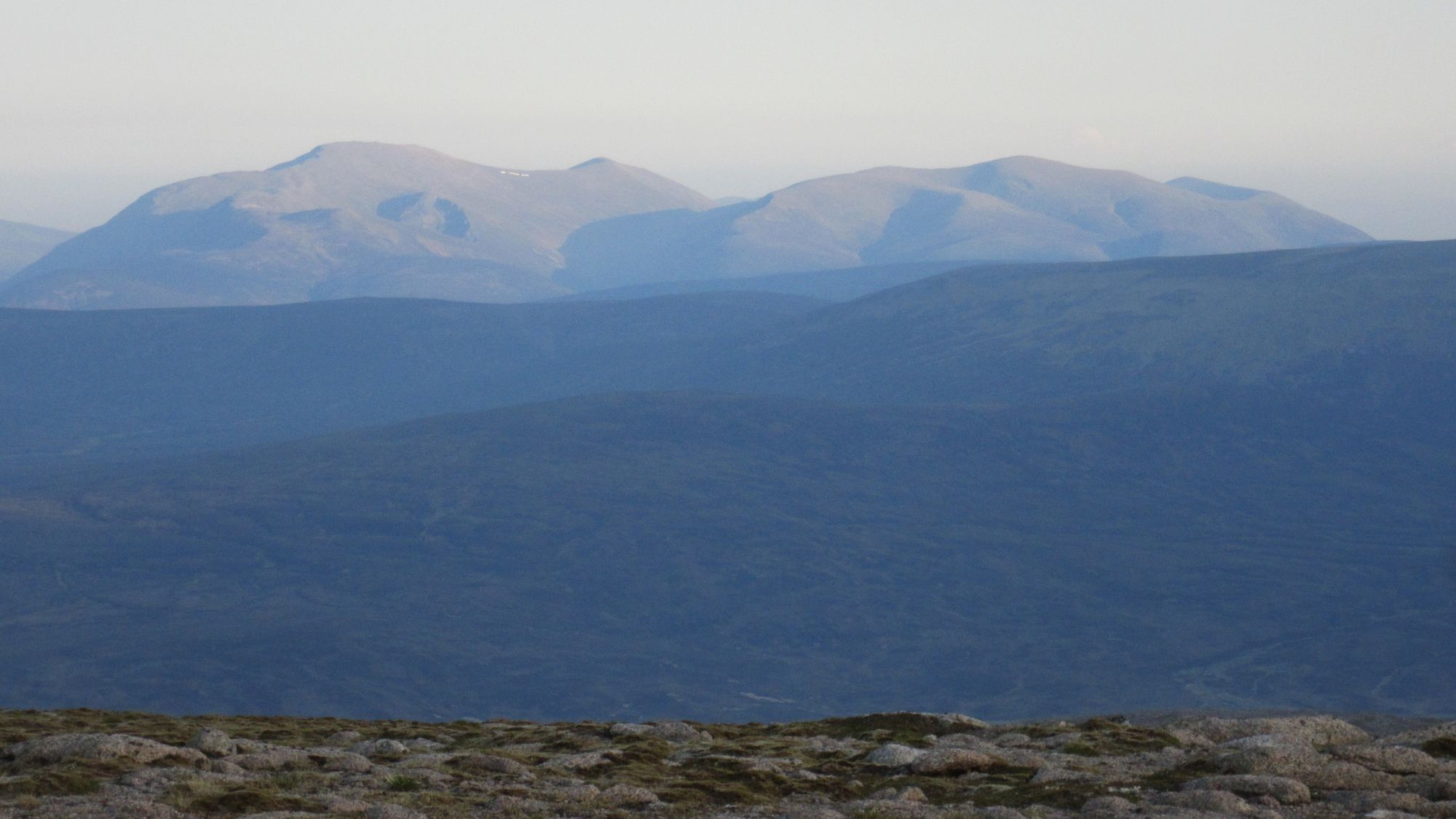
Views on the way from Monadh Mor to Beinn Bhrotain.
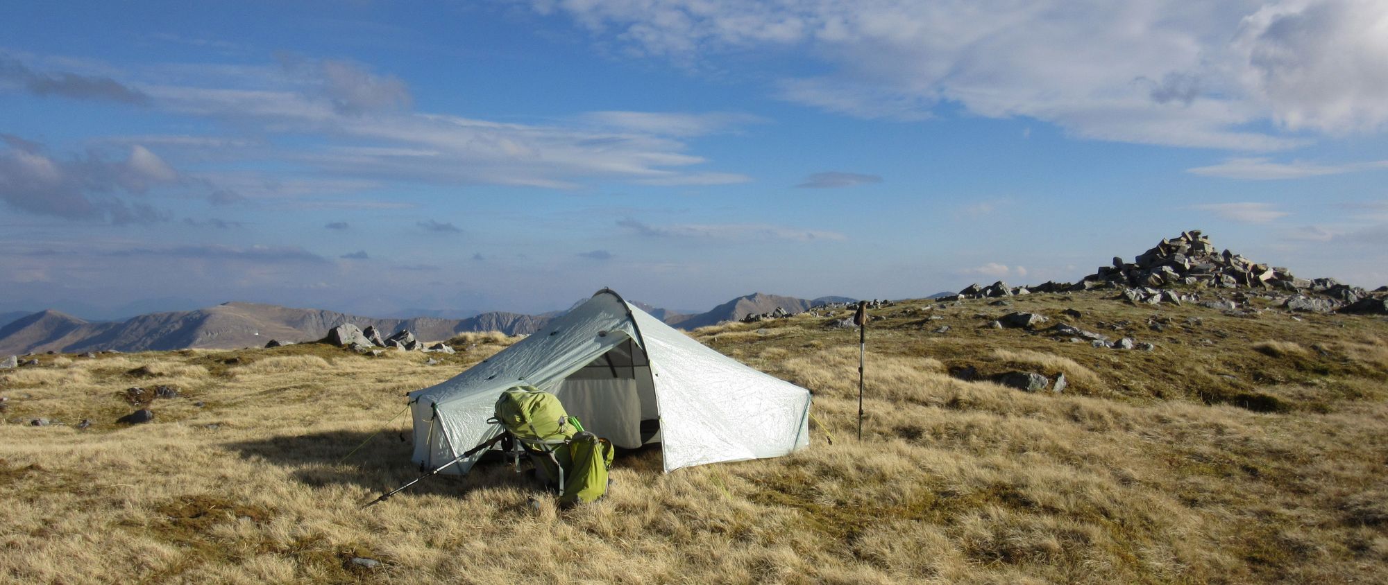
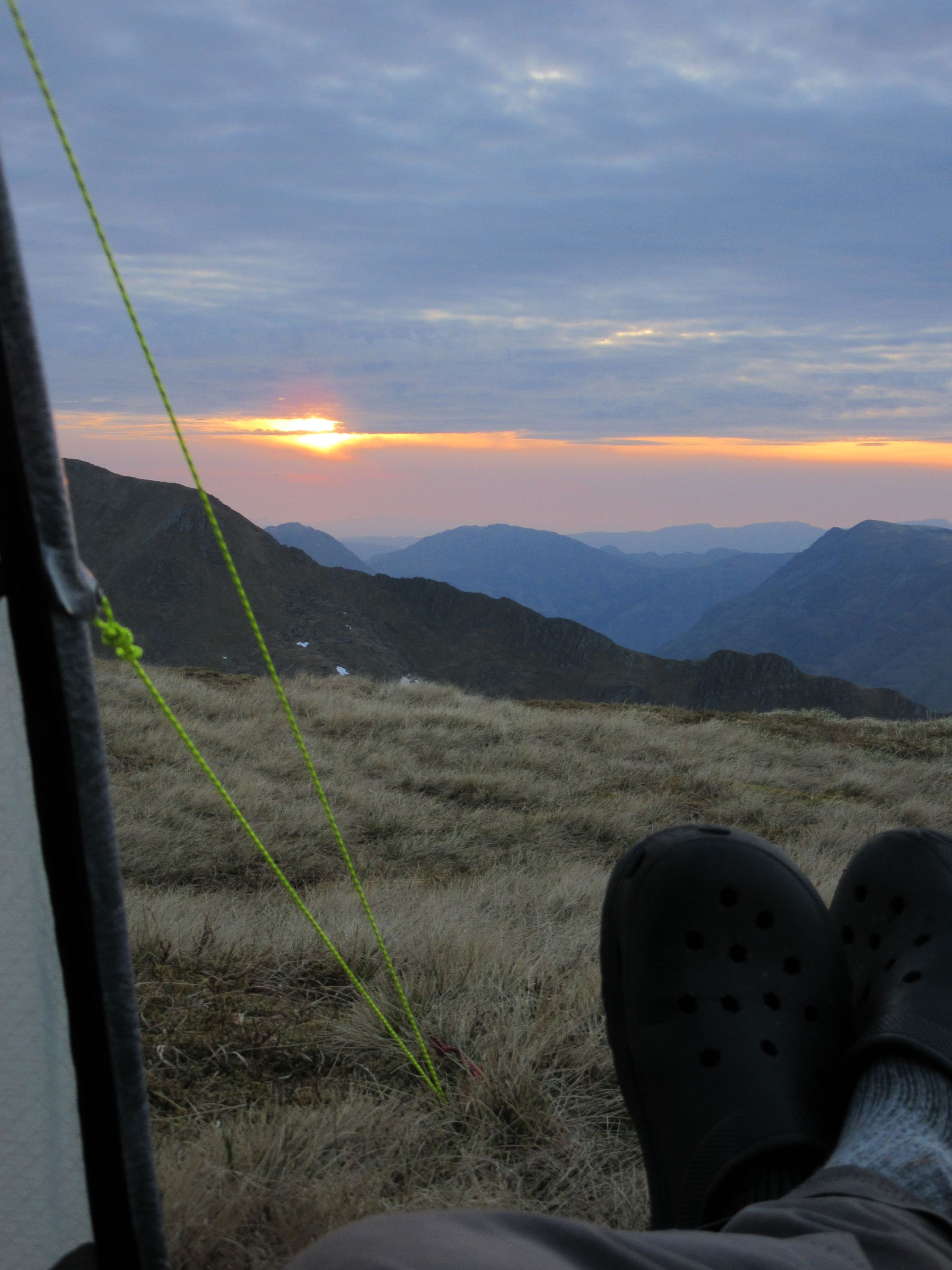
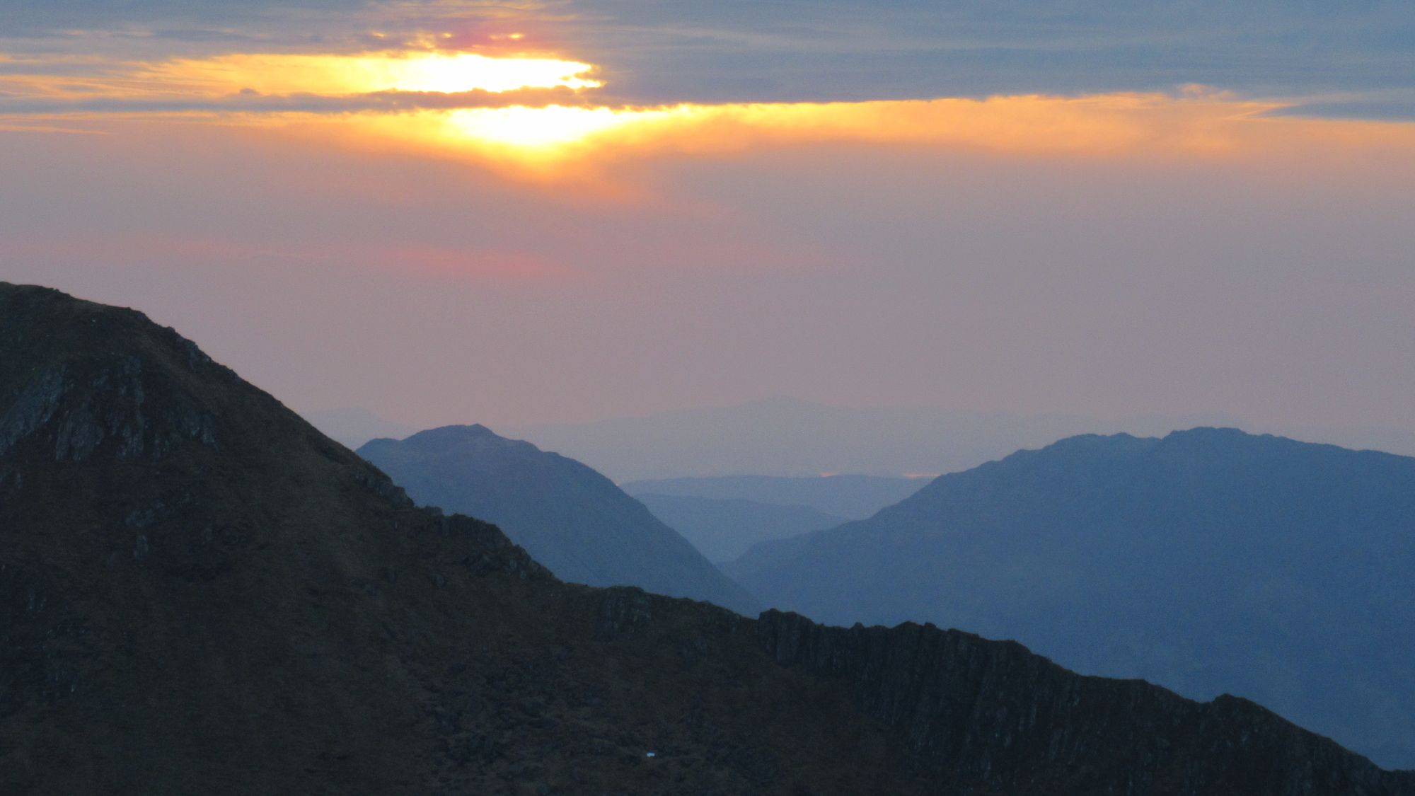
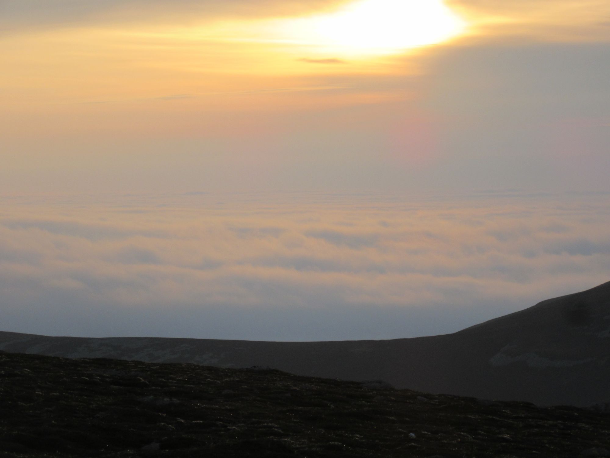
There's an intervening dip that was nice and grassy in the bottom, but with restricted views it was unappealing. I continued on over what's marked as Pt.1108 on OS maps and found a pitch on a grassy terrace just big enough for the tent and with fine views of the panorama to the north and also in the direction of sunset.
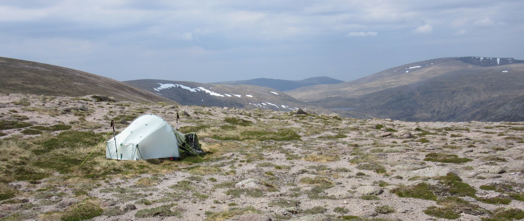
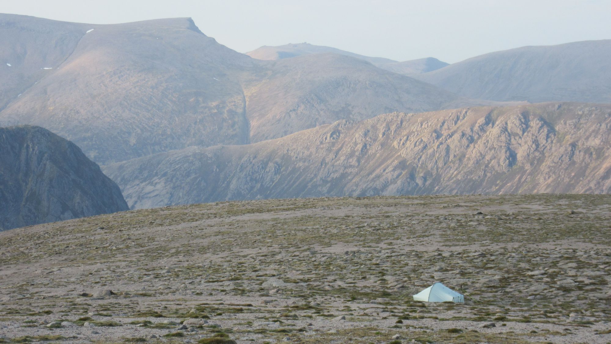
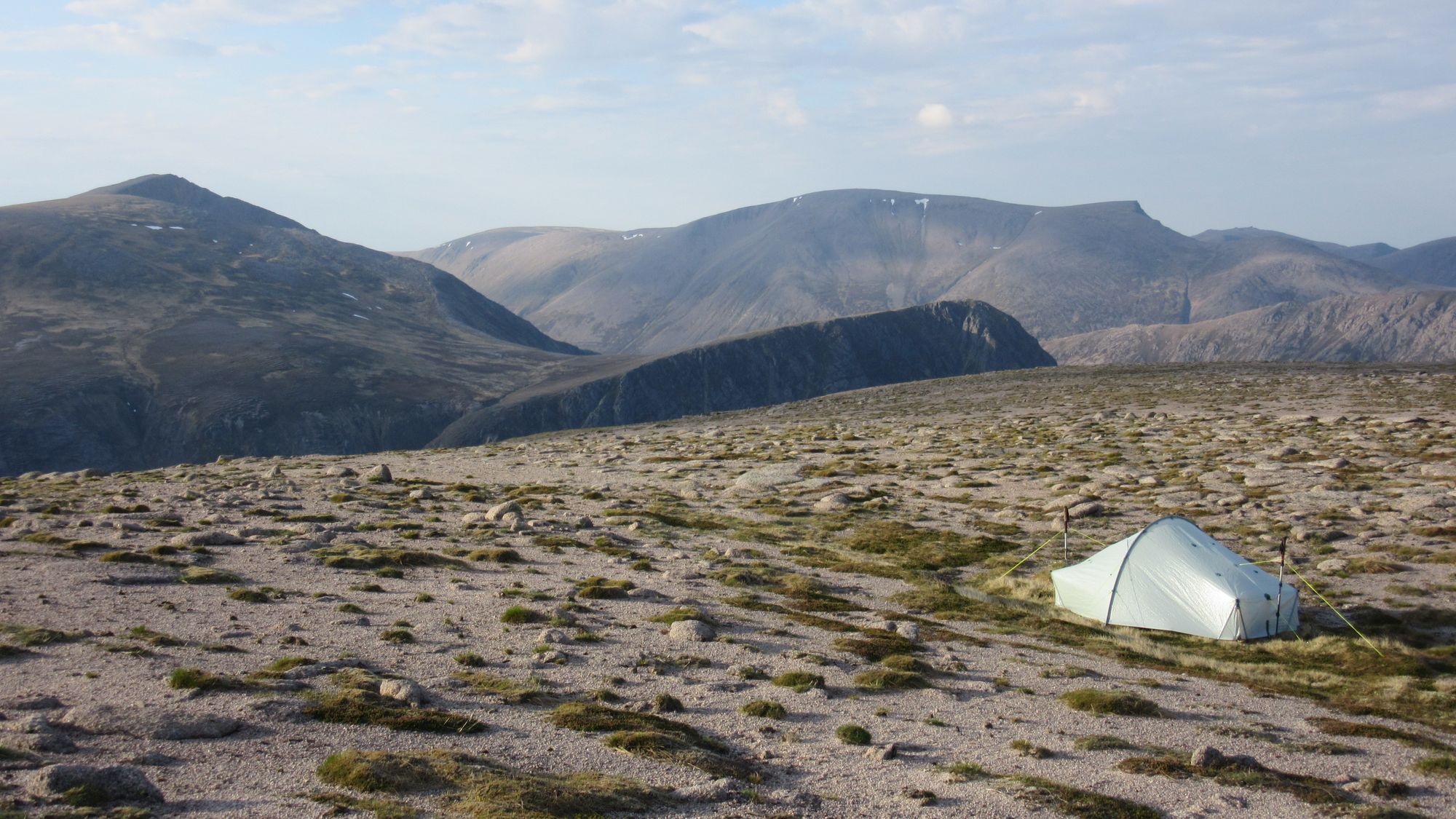
Beinn Bhrotain high camp.
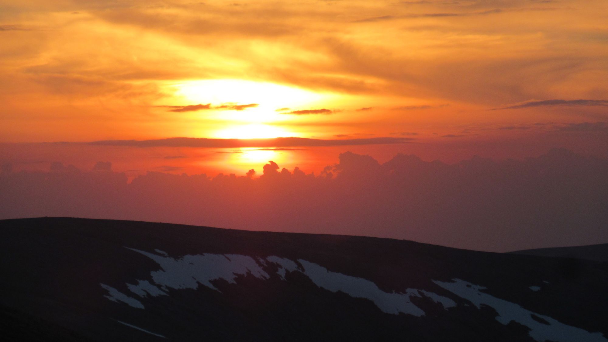
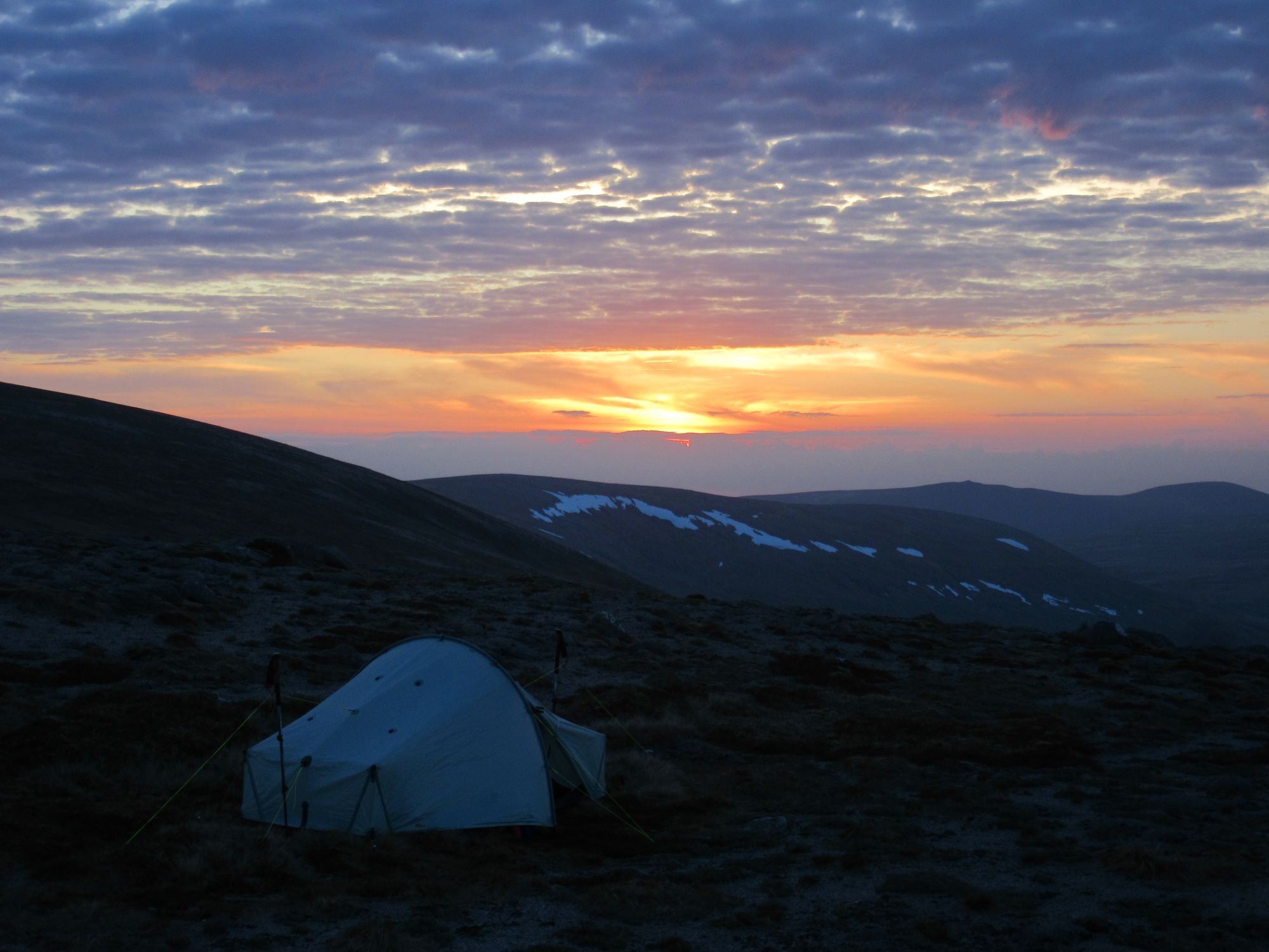
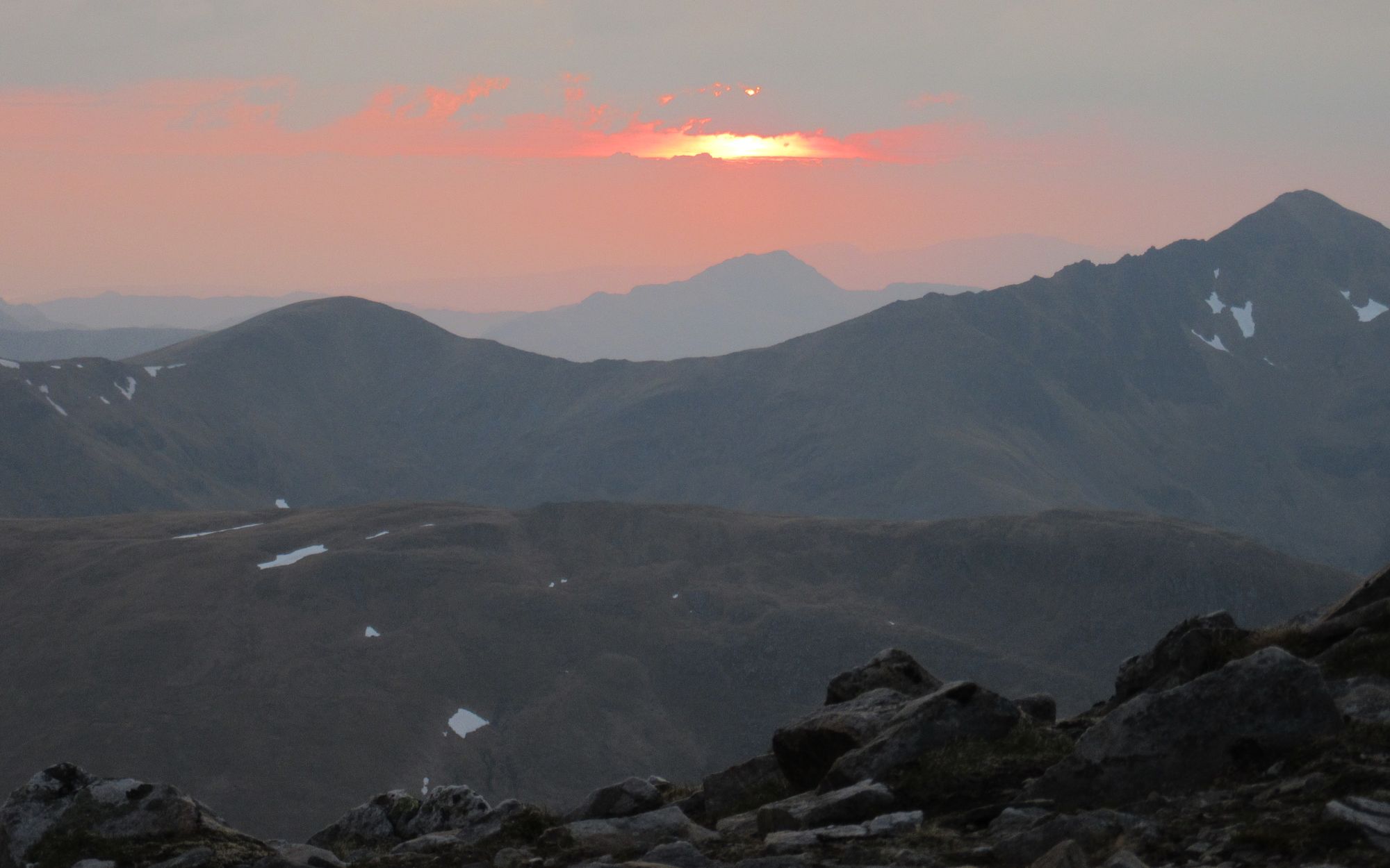
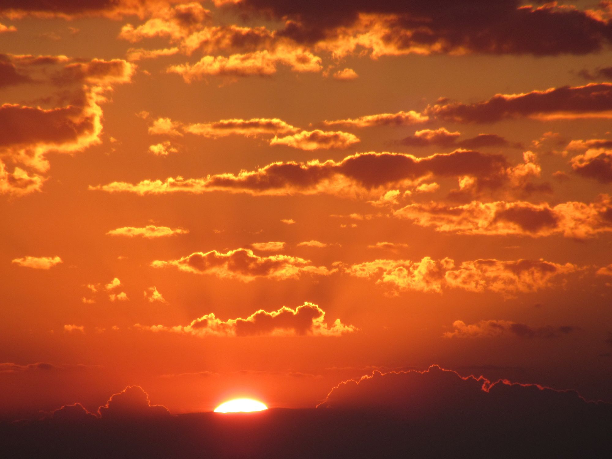
Beinn Bhrotain high camp sunset.
Day 9
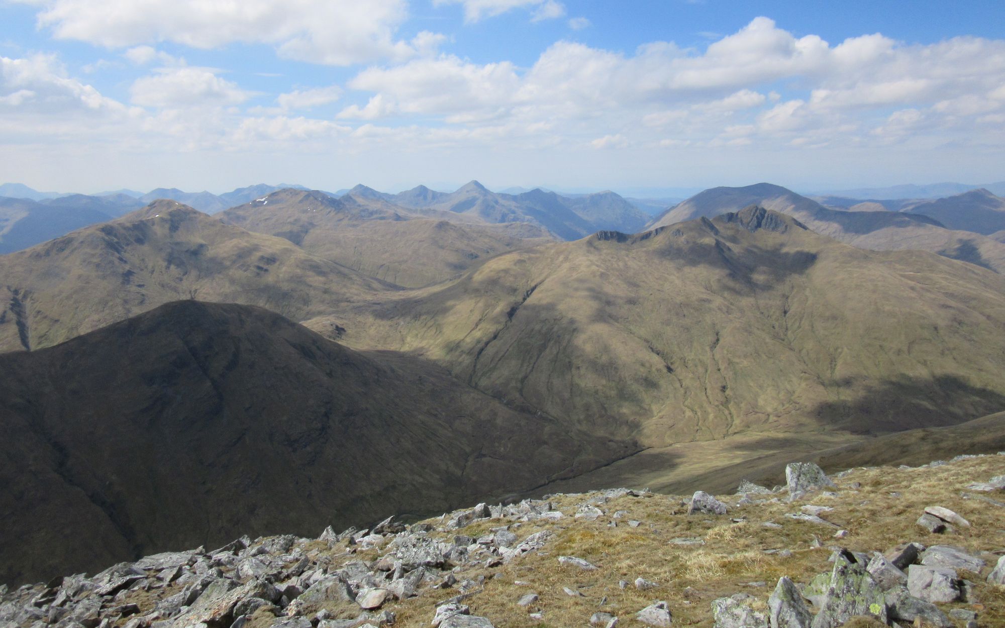
Beinn Bhrotain (M) – Carn Cloich-mhullin (MT) – descend WSW to Chest of Dee & White Bridge – Linn of Dee – Mar Lodge – Victoria Bridge – road E to NO118897 – forest track to Tomintoul – Auchendryne – Braemar.
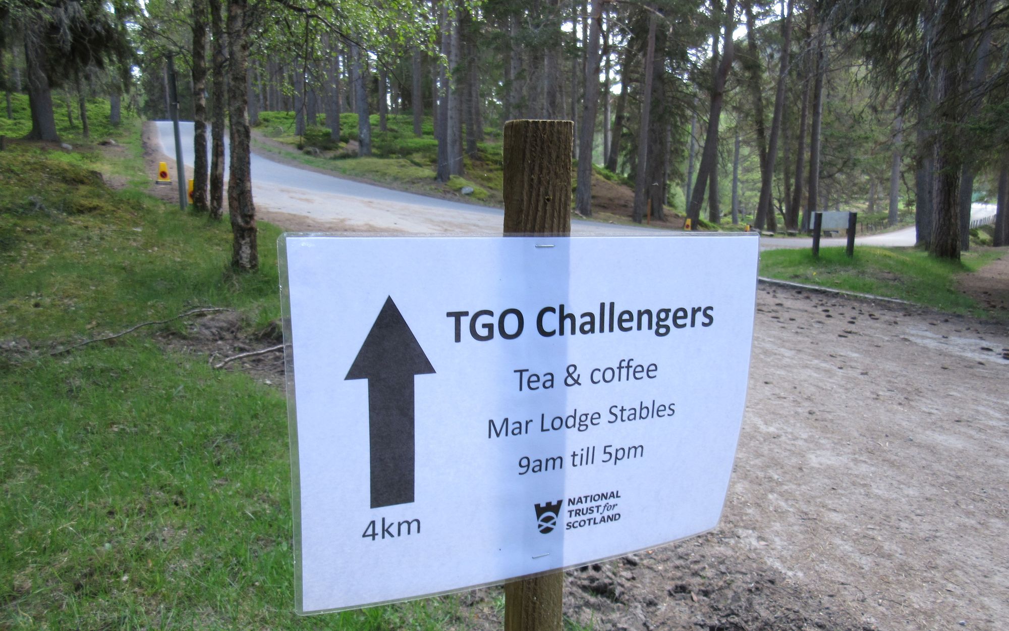
Yet another fine day, although rain and possibly thunderstorms were forecast for later. I headed back to Beinn Bhrotain summit and then down towards White Bridge. Quite a few daytrippers headed up, with it being a Saturday, and there were more folks out and about in the glen. I eventually caught up with a mass of TGOCers at the much appreciated Mar Lodge refreshments stop.
On the way to Braemar via White Bridge and Mar Lodge.
From there, there was some more tarmac bashing until a turn-off into the woods through which a more interesting approach to Braemar could be made. I arrived in town to the sound of thunder in the distance, and a motley crew of already well-refreshed TGOCers welcomed me under the awnings of the Fife Arms just at the deluge began.
I picked up a resupply parcel at the busy Braemar campsite, where I was staying in one of the pods. Fish-and-chip dinner outside later (thankfully the rain had stopped) and then on to the public bar of the Invercauld Arms ("the pub the locals go to", apparently). TGOCers everywhere!
Day 10
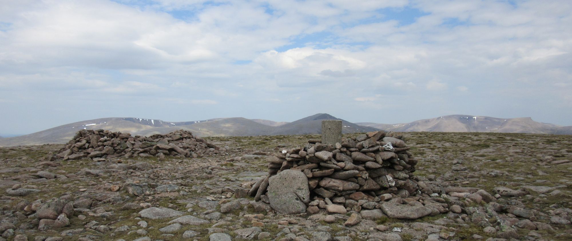
Braemar – Lion’s Face – Carn nan Sgliat – Carn nan Leachda – Pt.795 – Loch Phadruig – Meall an t-Slugain – Creag an Loch – lochan at NO195845 – Lochan E of Creag an Loch – path S of Carn an Sagairt Mor and E to Cac Carn Mor – Cac Carn Beag (M)
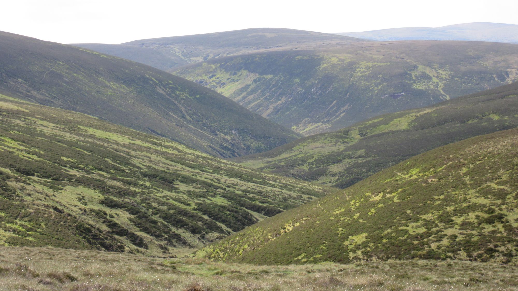
A late start as every other TGOCer in town had obviously had the same idea of going to the Bothy Cafe for an (excellent) big breakfast. Most seemed to be planning on heading towards Lochcallater Lodge which apparently has a tradition of offering some fine hospitality for TGOCers over the couple of nights most would be passing through this part of world. However I wanted to get further on and my planned route took me over something I was curious about: the high ground running south from the "Lion's Face" and east of Glen Callater.
Leaving Braemar and over the high ground east of Loch Callater on a murky day.
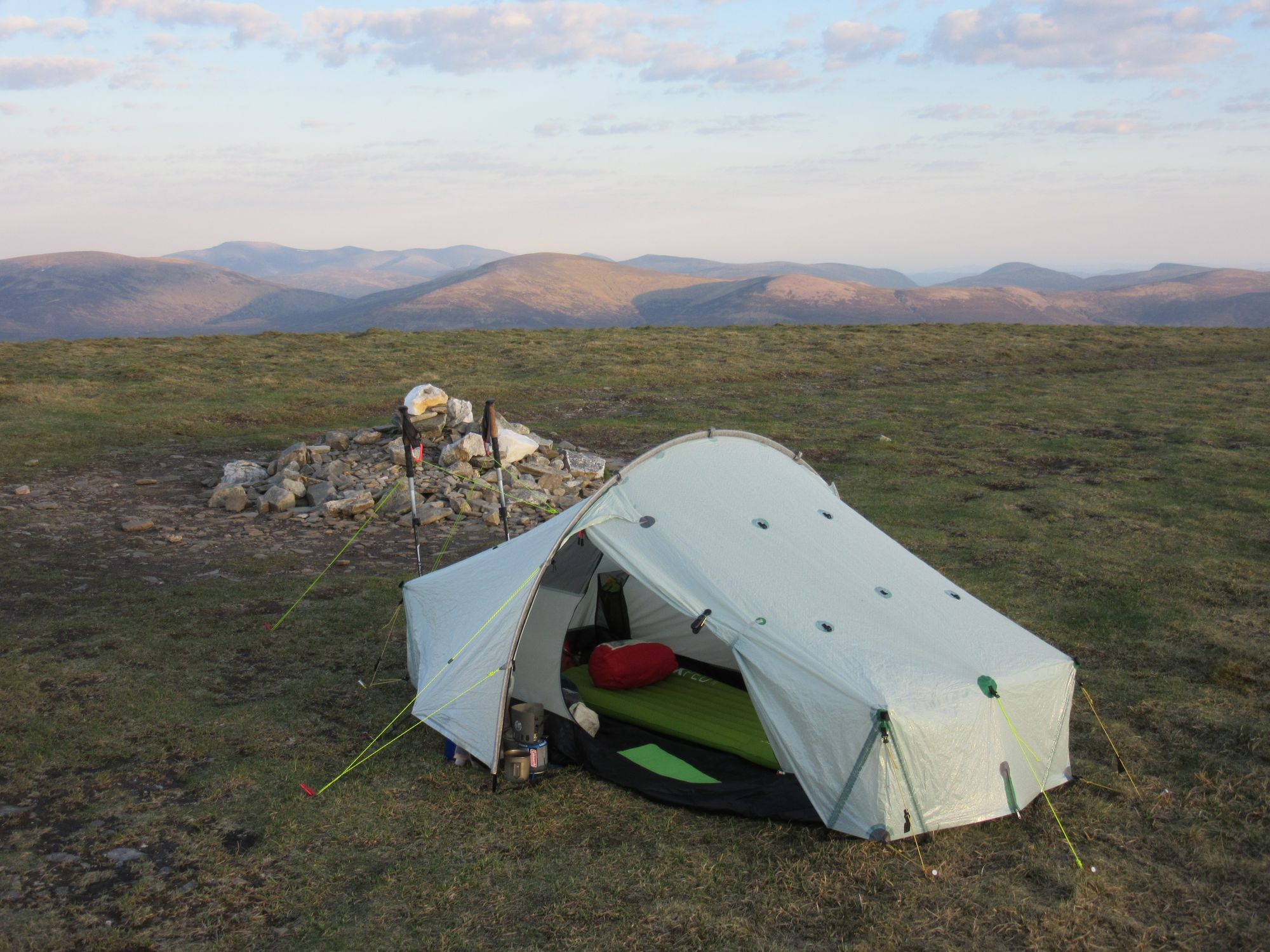
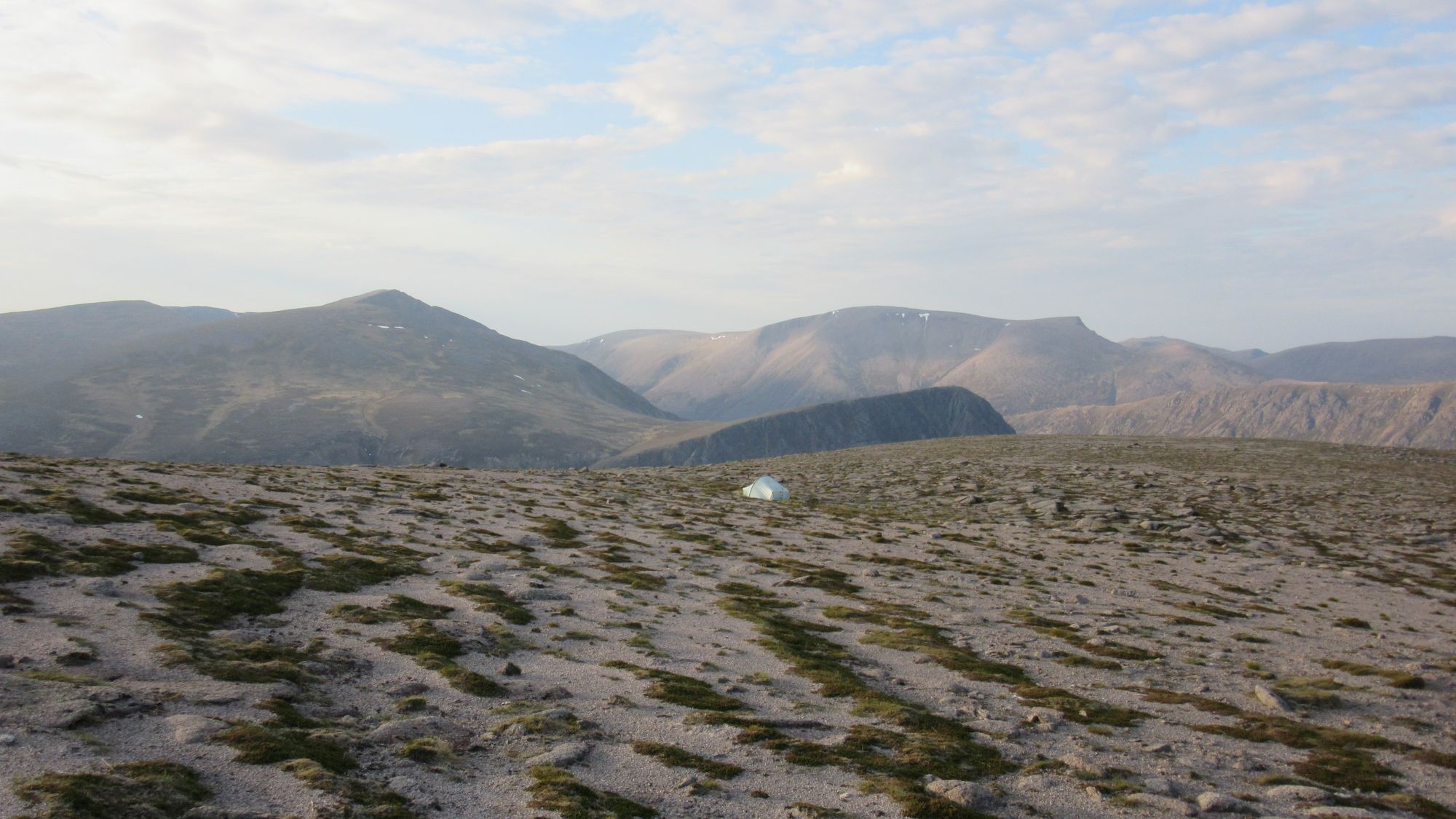
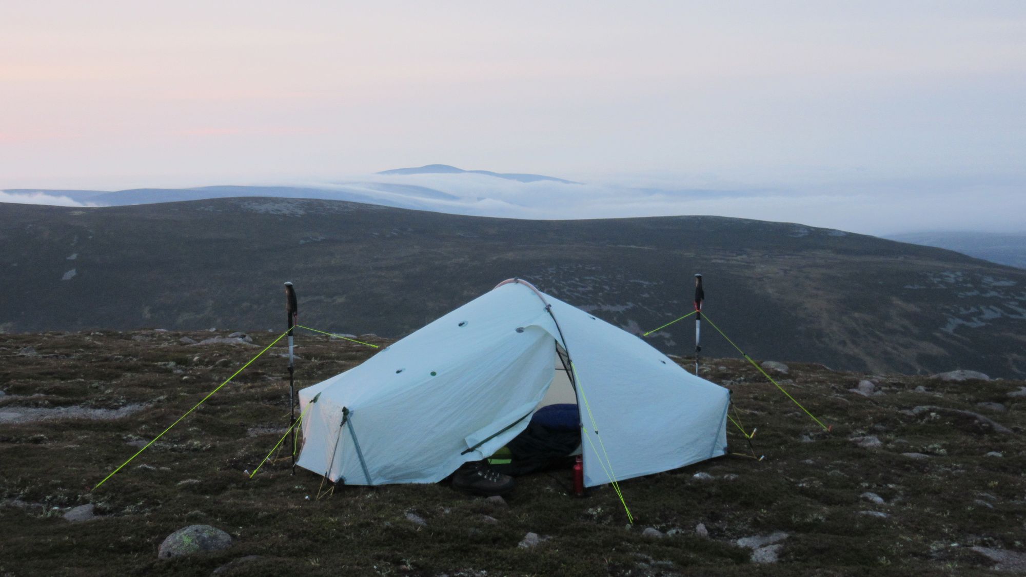
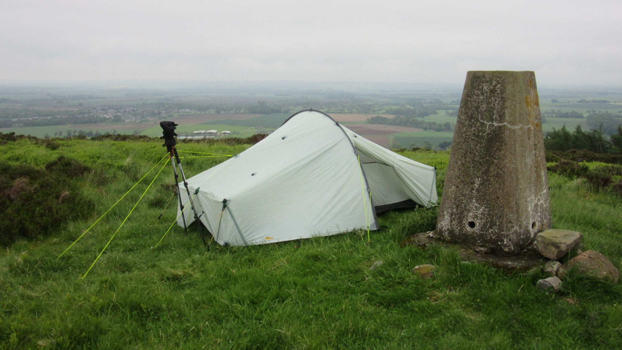
An increasingly faint path eventually petered out completely, and there were a couple of steep and rough heathery climbs to negotiate. But eventually I reached the main path coming up from Loch Callater and climbed up into the cloud. All the Munros in this area apart from Lochnagar and its tops were "in the bag" for my second round, so there were no distractions from just enjoying the trail weaving across the high ground. The cloud remained thick but there was minimal wind and I camped on a patch of grass next to the summit tor of Cac Carn Beag.
Day 11
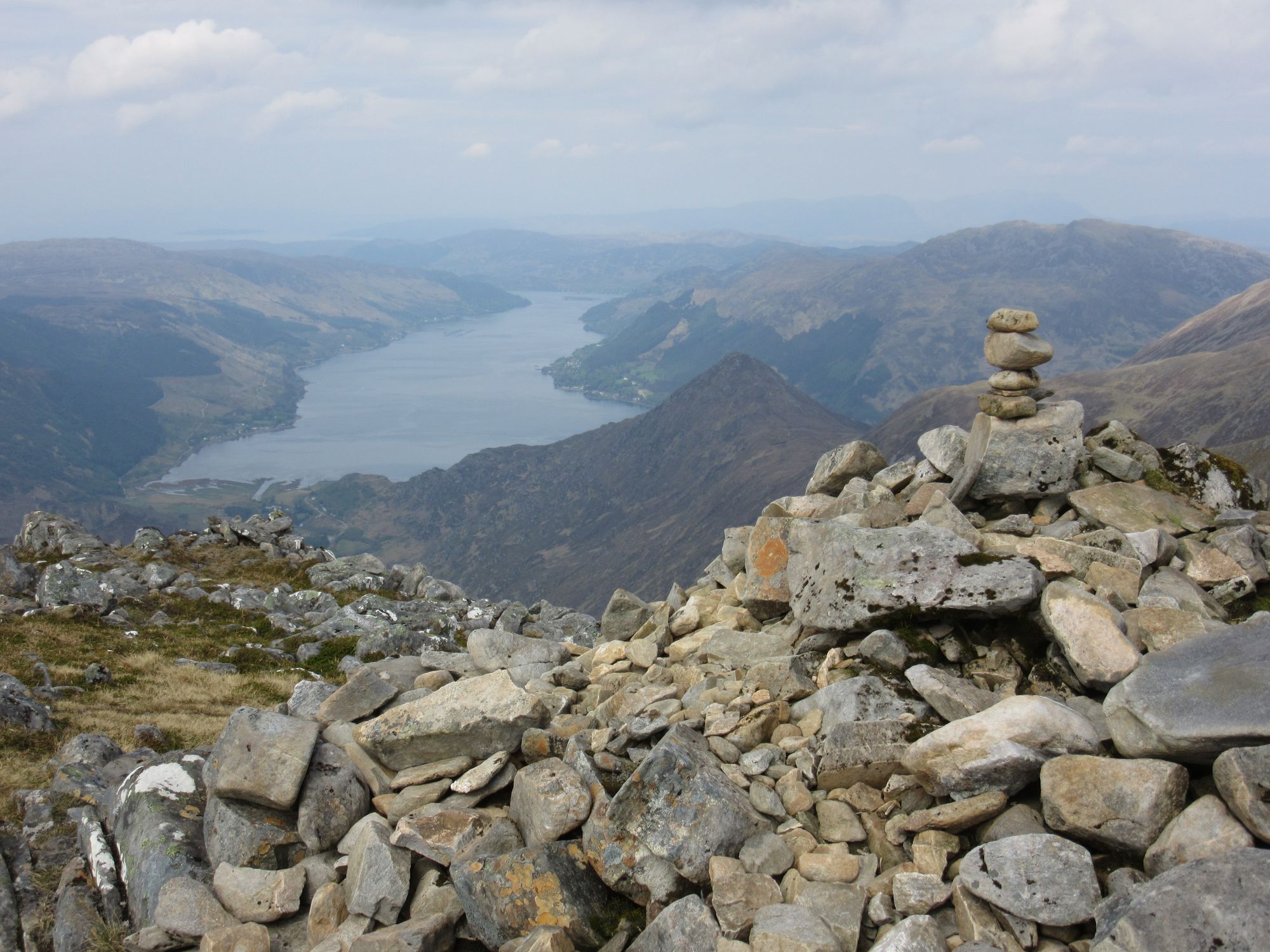
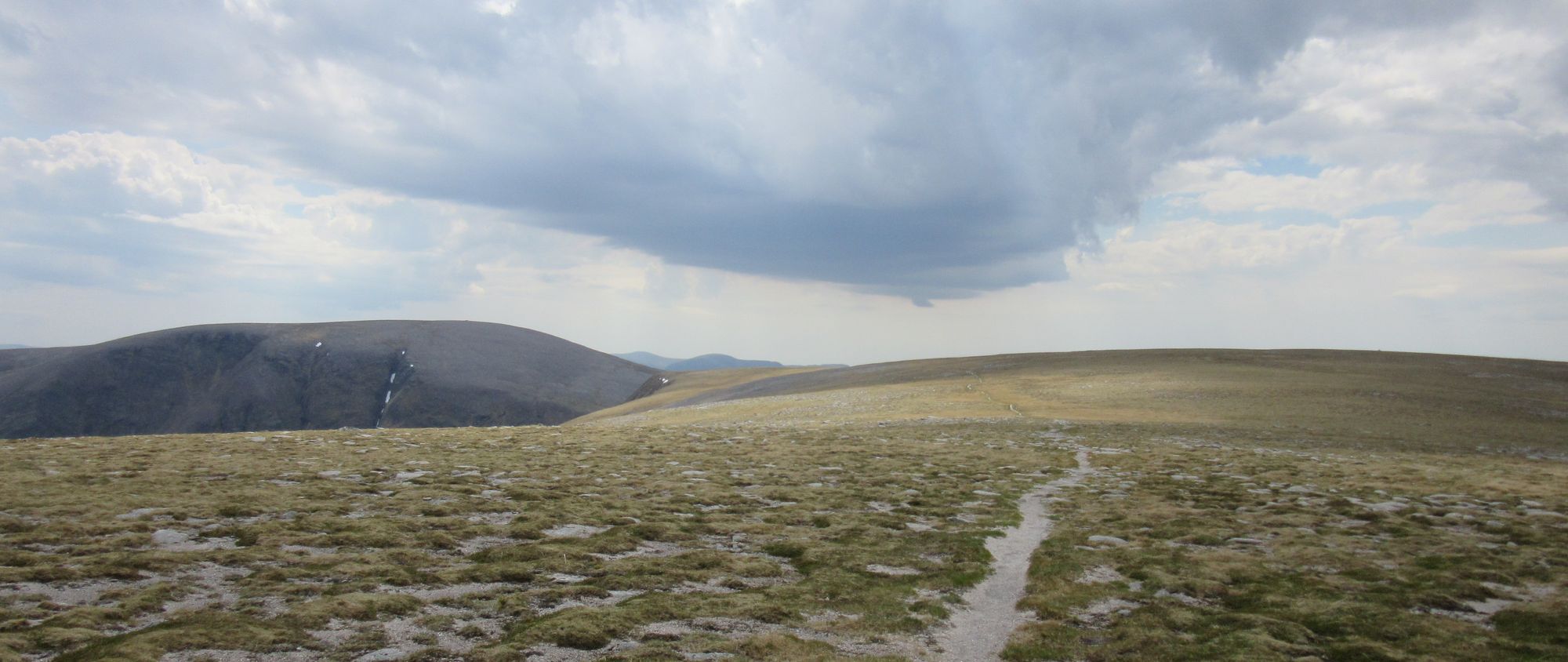
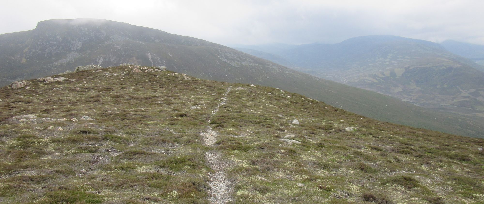
Cac Carn Beag (M) – Meall Coire na Saobhaidhe (MT) – Coire na Saobhaidhe – cross Lochnagar outflow – Meikle Pap (MT) – Cuidhe Crom (MT) – Little Pap (MT) – descend SW to Glas Allt path – Glas-allt Shiel bothy–track NW – Boat House – path/track to Spittal of Glenmuick – N on road to track joining W of The Cairns – up to track high point – Hunt Hill – Faseilach
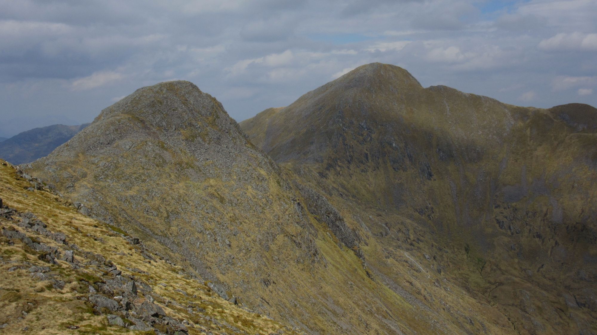
Lochnagar has four tops I needed to bag, and they are spread around a bit awkwardly. The cloud started to clear as I headed north from the summit to Meall Coire na Saobhaidhe and then east across the outflow of the eponymous loch. I had been in the corrie before - in winter for climbing - but not on this side of the loch; the boulder field is horrendous! From there I climbed to the Meikle Pap, and then up "The Ladder" stone steps which are the usual route to the summit, except that instead of returning to that I turned off eastwards for the tops of Cuidhe Crom and Little Pap (more boulder rock-hopping required on descent from Cuidhe Crom!).
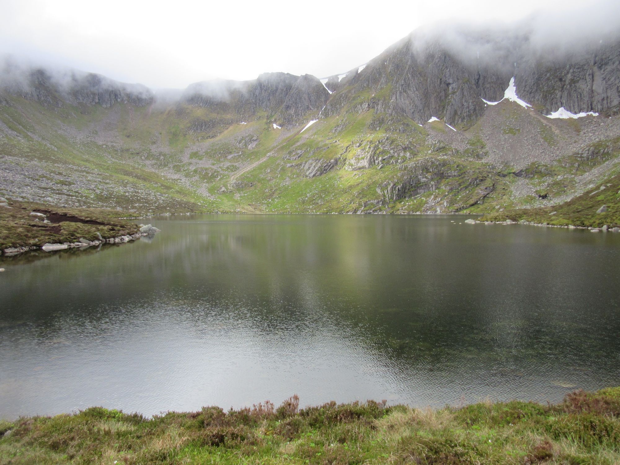
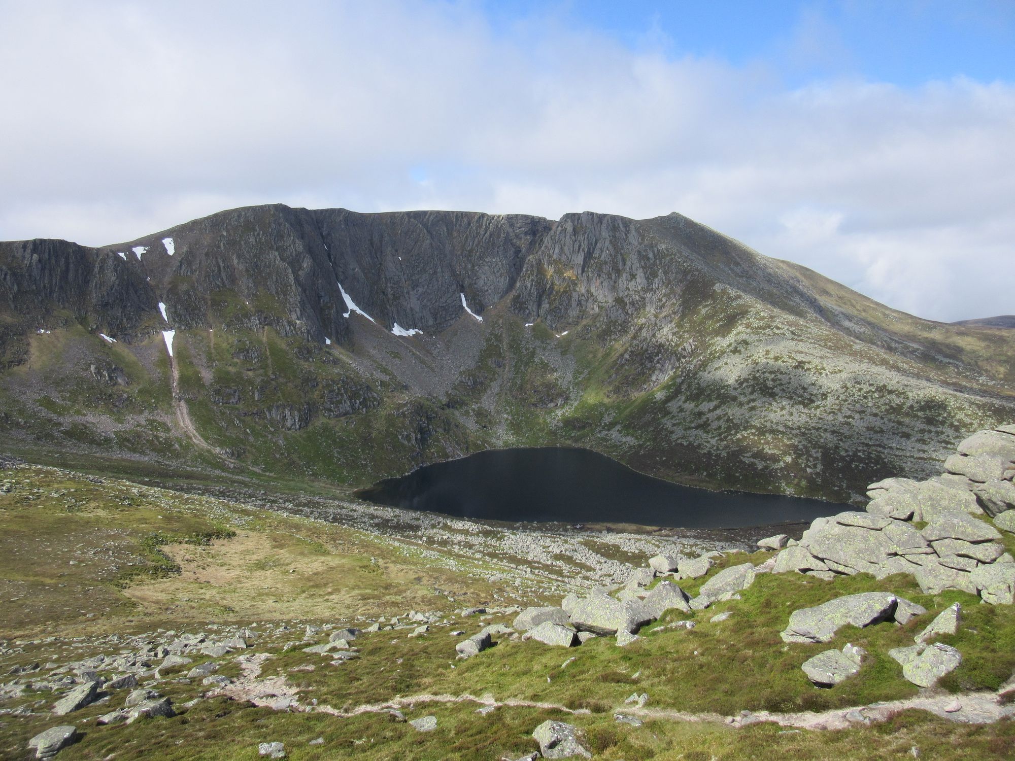
Views while hoovering up "tops" on Lochnagar and descending off via the Glas-allt path.
With all the tops ticked, I headed down towards the path to Glas-allt-Shiel bothy. That was the designated stop for the night on my route sheet, but it was still early and the good weather demanded another high camp. I skipped calling in at the bothy and headed north on the track besides the loch to Spittal of Glen Muick. Some TGOCers who'd been at the Lochcallater shindig the night before were encountered, apparently still recovering from very sore heads!
I headed a couple of miles north up the road before turning east on a track climbing the flanks of Hunt Hill. Leaving the track at its high point I went up over rough heather and tussock onto Hunt Hill and then onto Faseilach where I managed to find a reasonably dry patch amongst the quite boggy terrain.
Faseilach summit camp.
Day 12
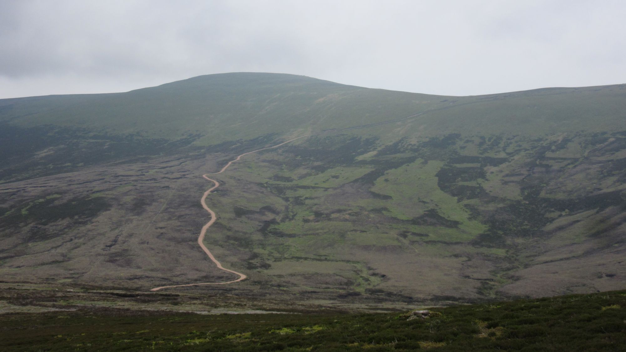
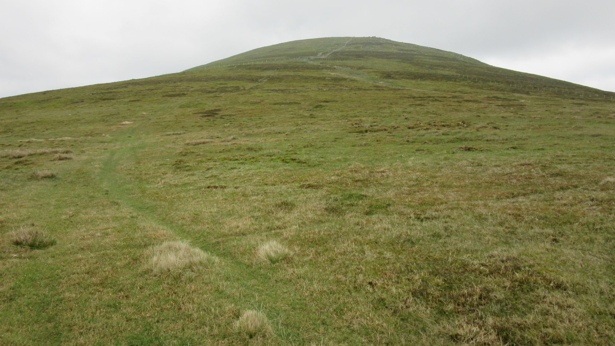
Faseilach – follow crest/watershed west via Pt.664 to Head of Black Burn – Mount Keen (M)
My plan for today was to reach Mount Keen by traversing over the high ground west of it. It looks like an appealing "natural line" from Faseilach on the map, although somewhat less so when the vast and obviously rough expanse is viewed from Mount Keen! It also gets a mention in Ralph Storer's "Ultimate" guidebook: "For a real walk on the wild side, consider approaching Mount Keen across the Mounth from the west". My route vetter's cautionary words on this section are pure poetry, so I will quote them here:
I’m going to do my best to deter you from your planned route of today but my success will depend on how determined you might be to face a truly tough outing. Can I offer a cautionary note on your intention to visit Fasheilach, which is a collector’s piece but for quite the wrong reasons. I questioned my sanity when I traversed this hill on a dreich afternoon, finding the lonely trig point to be an oasis of relative comfort amidst a sea of surrounding peat. Think of the Pennines at their worst and you won’t be disappointed; a zoom view on aerial imagery gives a stark impression of the nature of the terrain. On my descent from the trig, I found myself in constant tiring clambers between one set of channels and the next. Just occasionally, I’d find one of the conduits headed in the right direction but any relief was fleeting and I emerged from the labyrinth quite spent. Look at the aerial imagery in more detail and you’ll realise that this very unforgiving terrain persists to the base of Mount Keen. Truly a route which I’d recommend to folk who might wish me ill. Tackle it if you must but don’t say that you weren’t warned. Personally, I’d wimp out on your FWA to Glen Tanar and go up to the Munro from there.
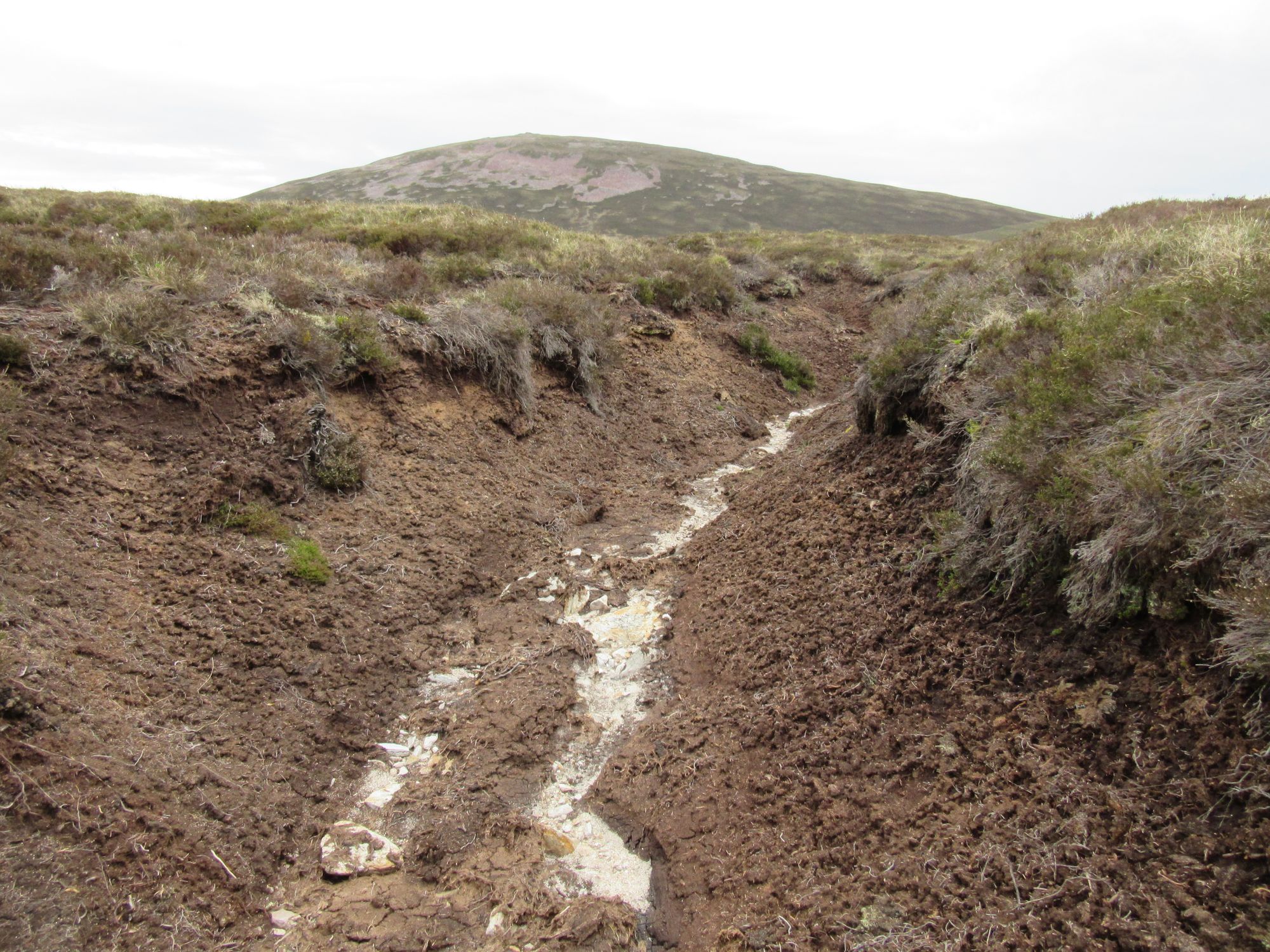
So this was the stage of the trip I'd been most dreading what I might find! The going was indeed so rough that I quickly abandoned any thought of following the indistinct crest along the highest ground and instead opted for a direct beeline towards Mount Keen. Fortunately it seemed to be remarkably dry: peat hags were firm and provided swift progress when their channels ran in the right direction. If it had been much wetter I'd have probably been cursing myself for not heeding my vetter's warning to take my Glen Tanar FWA route instead .
At one point I startled a grouse from under my feet; nothing unusual about that in Scotland, but this one had been sitting on some eggs, which I'd never seen before. I moved on swiftly. I also flushed out a small owl a little later, and a hare hopped ahead of me along one of the peat-hag trenches.
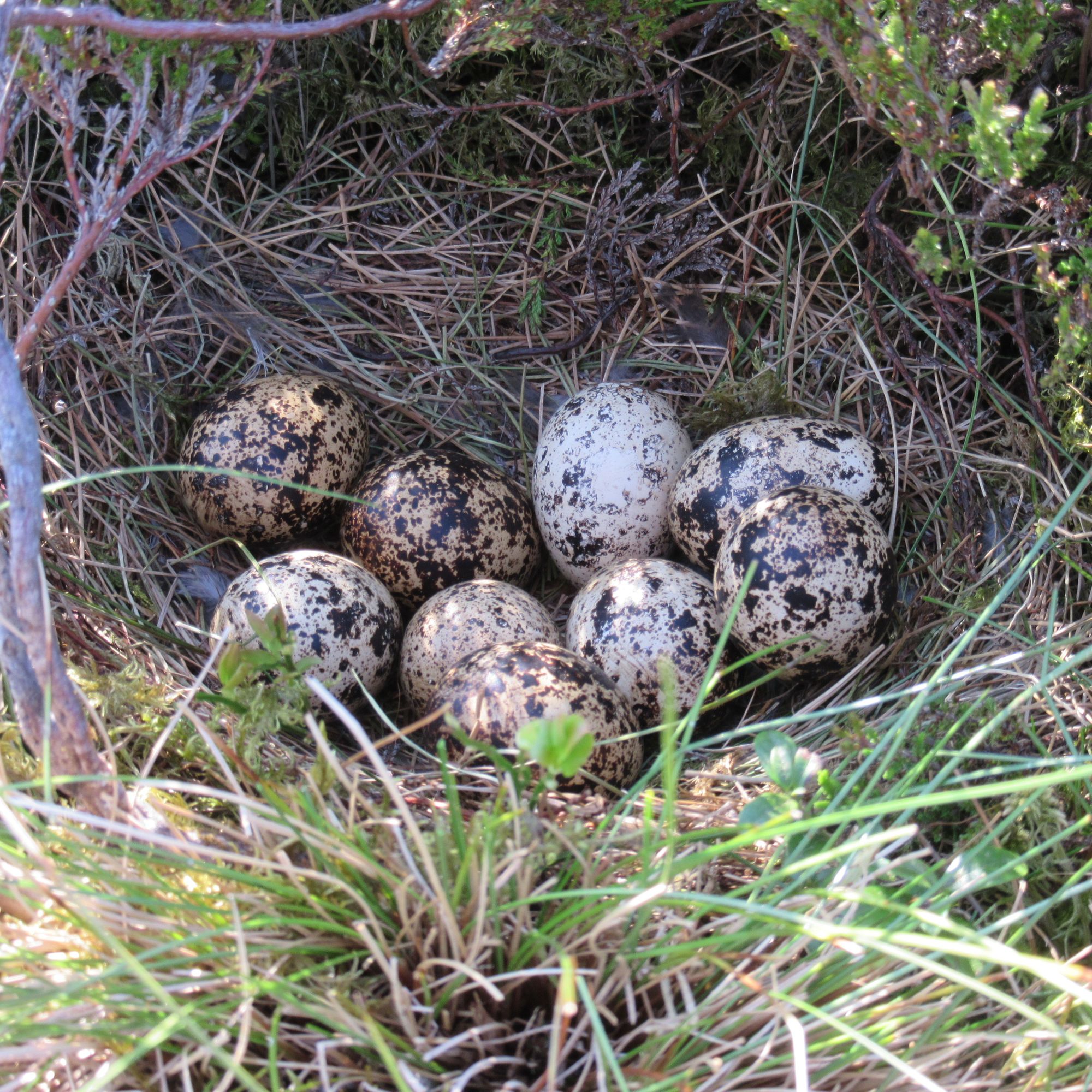
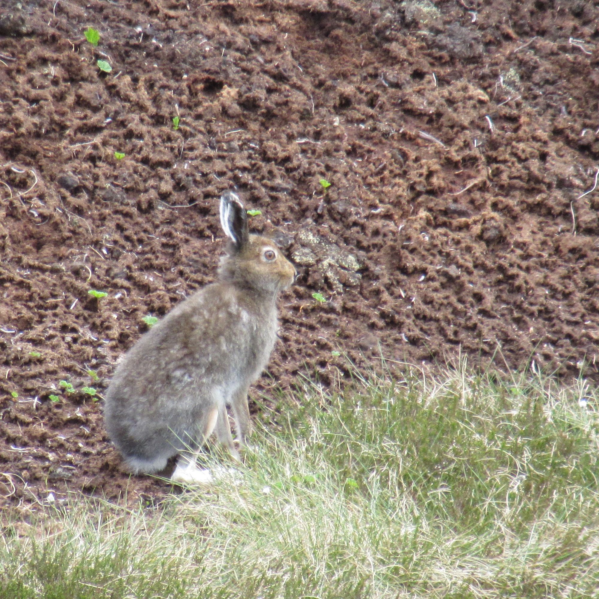
Sights on the way to Mount Keen.
In the distance I could see what I took to be another walker, but they seemed to be pacing backwards and forwards repeatedly over much the same ground each time. Had they dropped their phone or some other valuable? It turned out it was someone doing a wildlife survey.
I finally escaped the rough going onto the slightly easier slopes and then path up Mount Keen. There were four other TGOers having lunch on top before heading on to Tarfside, and later in the afternoon another small party who'd made a late start from Ballater went past. Mount Keen is not particularly friendly to would-be summit campers, but descending a little found me a not-too-stony and just-about-flat-enough pitch for the tent.
Day 13
Mount Keen (M) – Braid Cairn – Hill of Gairney – Cock Cairn – Hill of Cat – Tampie – Mudlee Bracks – Hill of Cammie – Mount Battock (C)
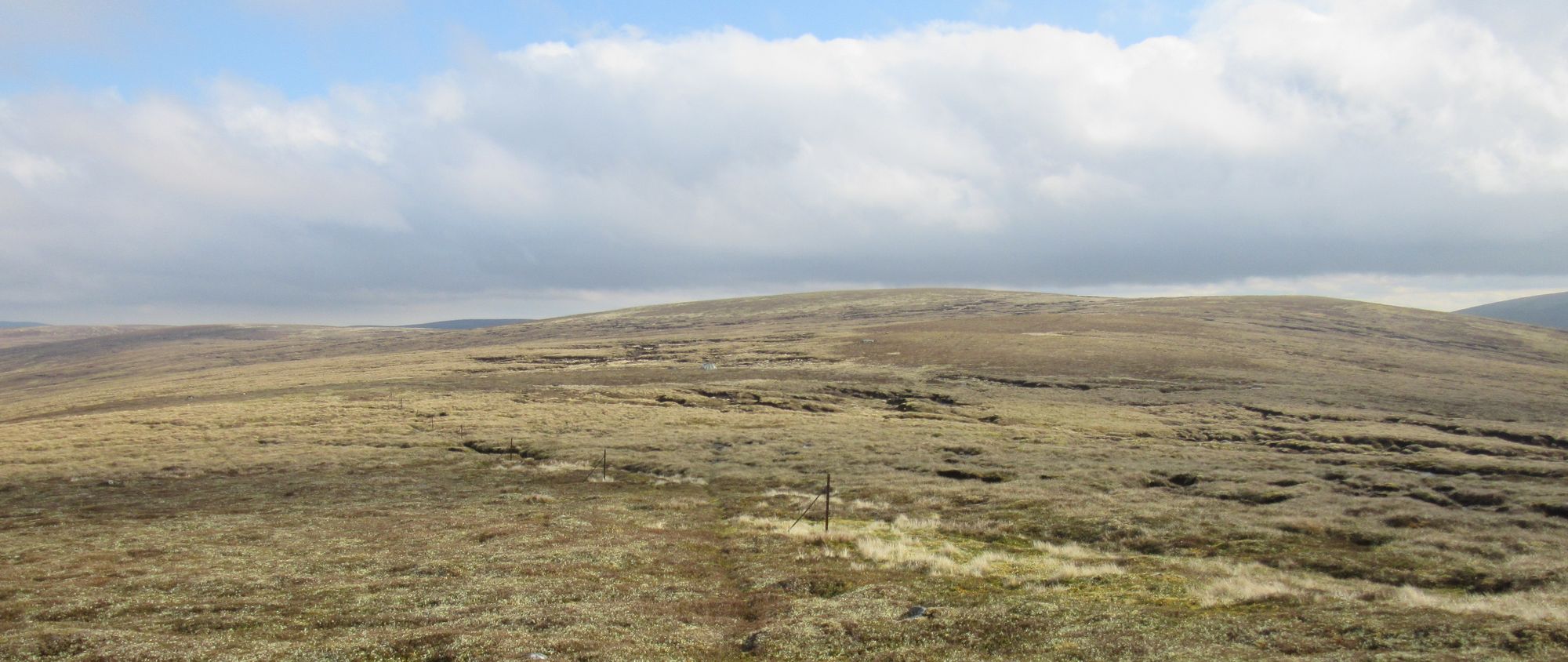
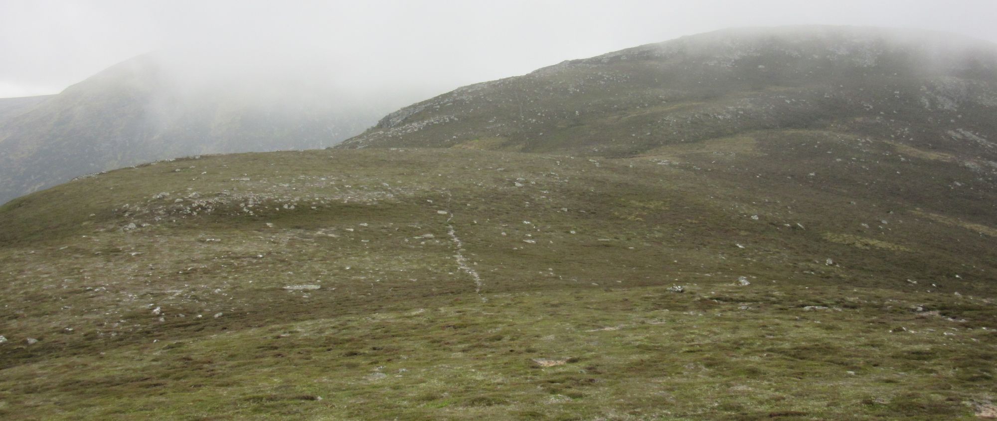
There was some fog in the glens this morning, but a layer of high cloud foiled any chance of more spectacular inversion conditions.
Mount Keen camp in the morning.
Again, the plan was to follow the obvious "natural line" along the watershed between Glen Tanar to the north and Glen Esk to the south to get to Mount Battock. Apart from the last one (a Corbett) this was all new-to-me ground and there was some urgency as a storm was expected and the Met Office had an "Amber Weather Warning For Rain" in place for later in the day and overnight. The route was an ups-and-downs mix of tracks, faint paths and heather bashing with the cloud coming and going.
Along the way to Mount Battock.
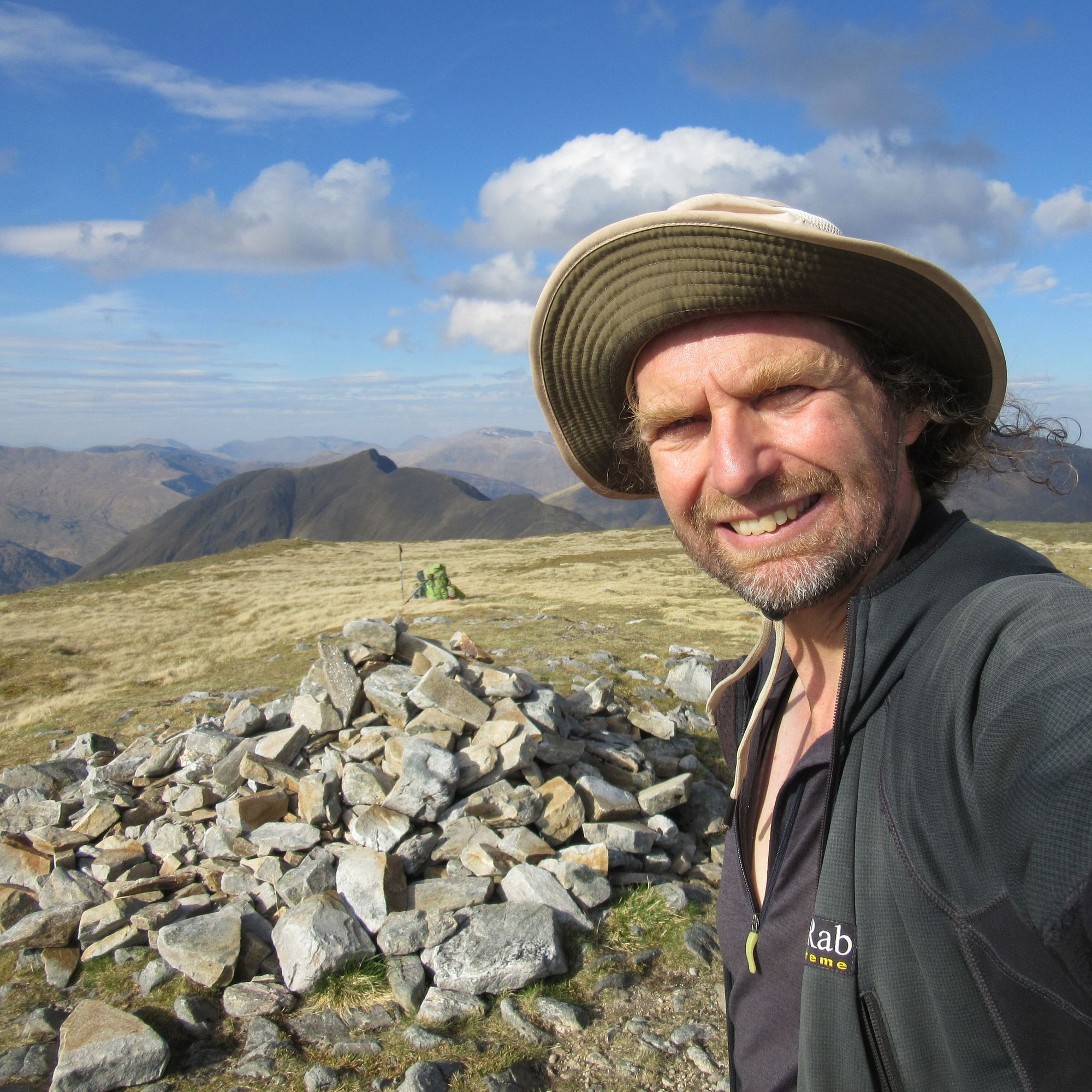
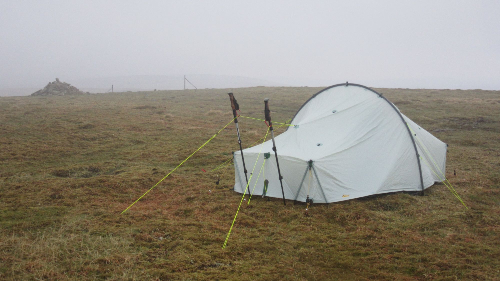
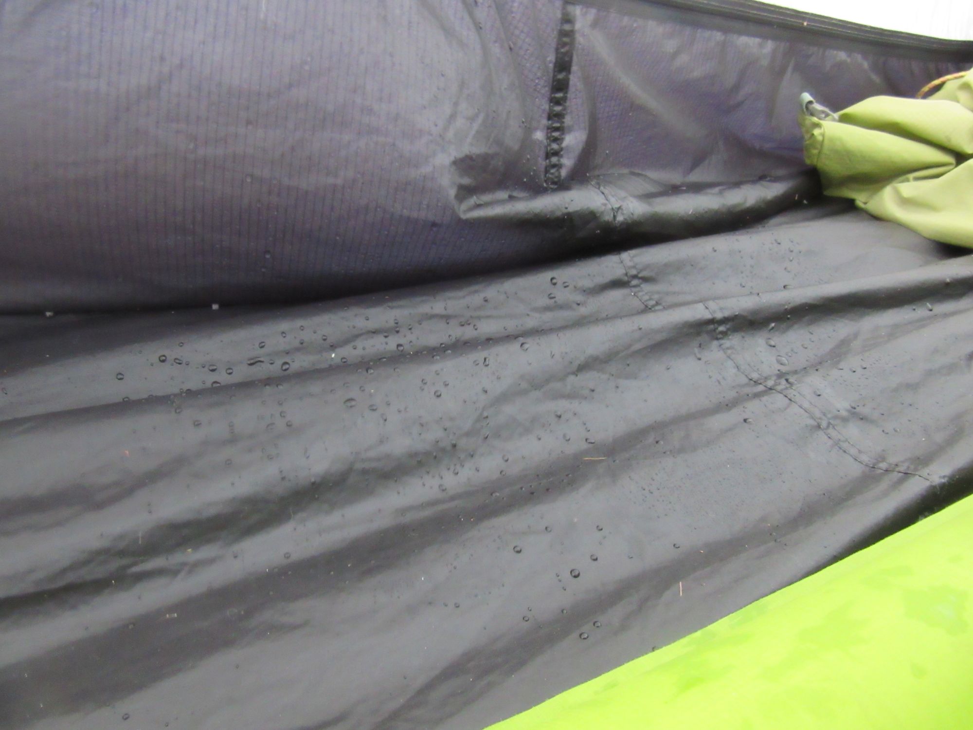
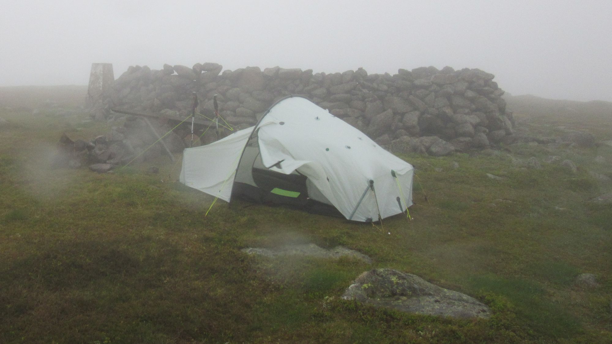
On Mount Battock's summit the weather was still fine but I had to make a decision what to do next as the storm was clearly approaching. Dropping off in search of more shelter was unappealing as the ground seemed to be sloping and/or rough and boggy in all directions and I didn't want to go a long way down as I planned to continue along the high ground the next day. But I'd been very impressed with the tent's performance in wind so far, and decided to tough it out.
The summit had a substantial pile-of-stones windbreak on top of it, but unfortunately the wind was forecast to swing round from north-east to north and the south side of the windbreak was too stony to pitch a tent. I tucked in as close as I could get to the west side and moved some rocks to make a low wall providing a bit more protection from the north, then took cover in the tent as the rain came in.
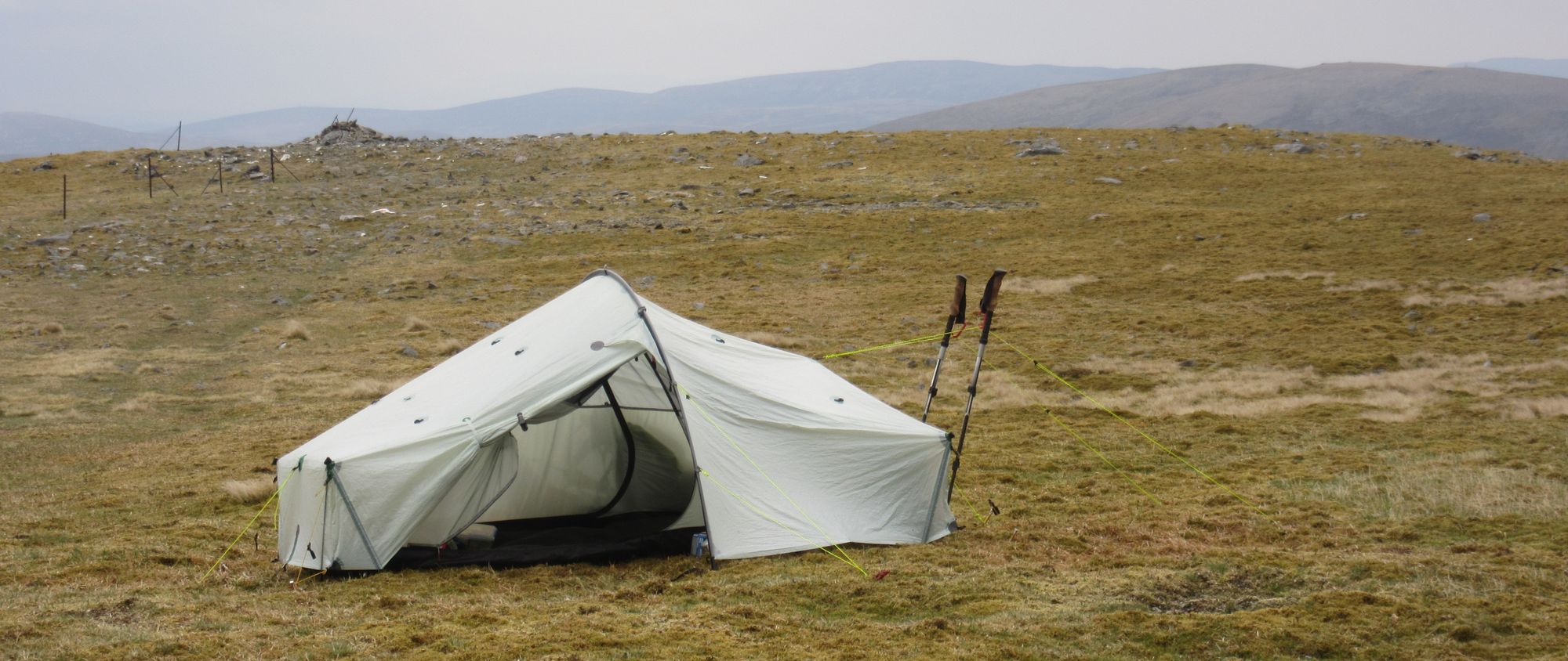
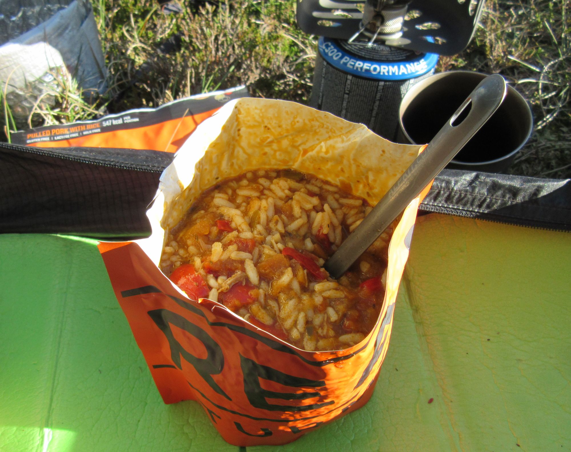
A wild night ensued! Rated at 140,000mm (seriously!) hydrostatic head there was no risk of the "Ultra TNT" material being anything but completely waterproof, but there were still a few drips into the inner as the tent vestibules were full of an aerosol of spray being blown under the fly (and through the vents?) and water then dripped off the fly's zippers and through the mesh in the upper parts of the inner's walls and doors. I used a bit of spare elastic cord from my repair kit between the inner's door zips to usefully cinch the inner's walls inwards a bit to stop drips off the fly falling straight through the mesh and that helped keep the inside dry. I managed to make some coffee on the stove in the vestibule before the worst of the weather hit, but later cooking was out of the question; fortunately I was behind on lunch and snack consumption and had a surplus of things to munch on. I made one excursion to tighten the guylines at 21:00 and then fell asleep for the rest of the night apart from a brief interval at 1:30 when a spell of stronger wind woke me up for a little while.
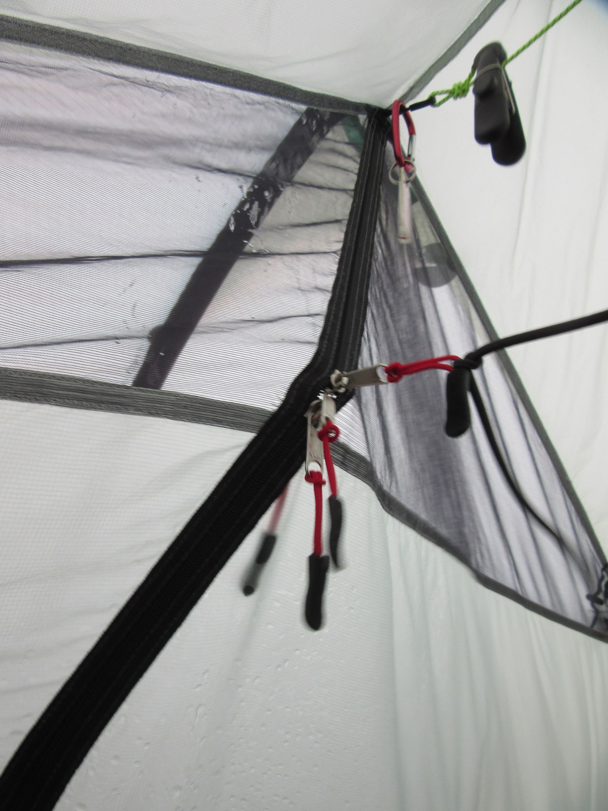
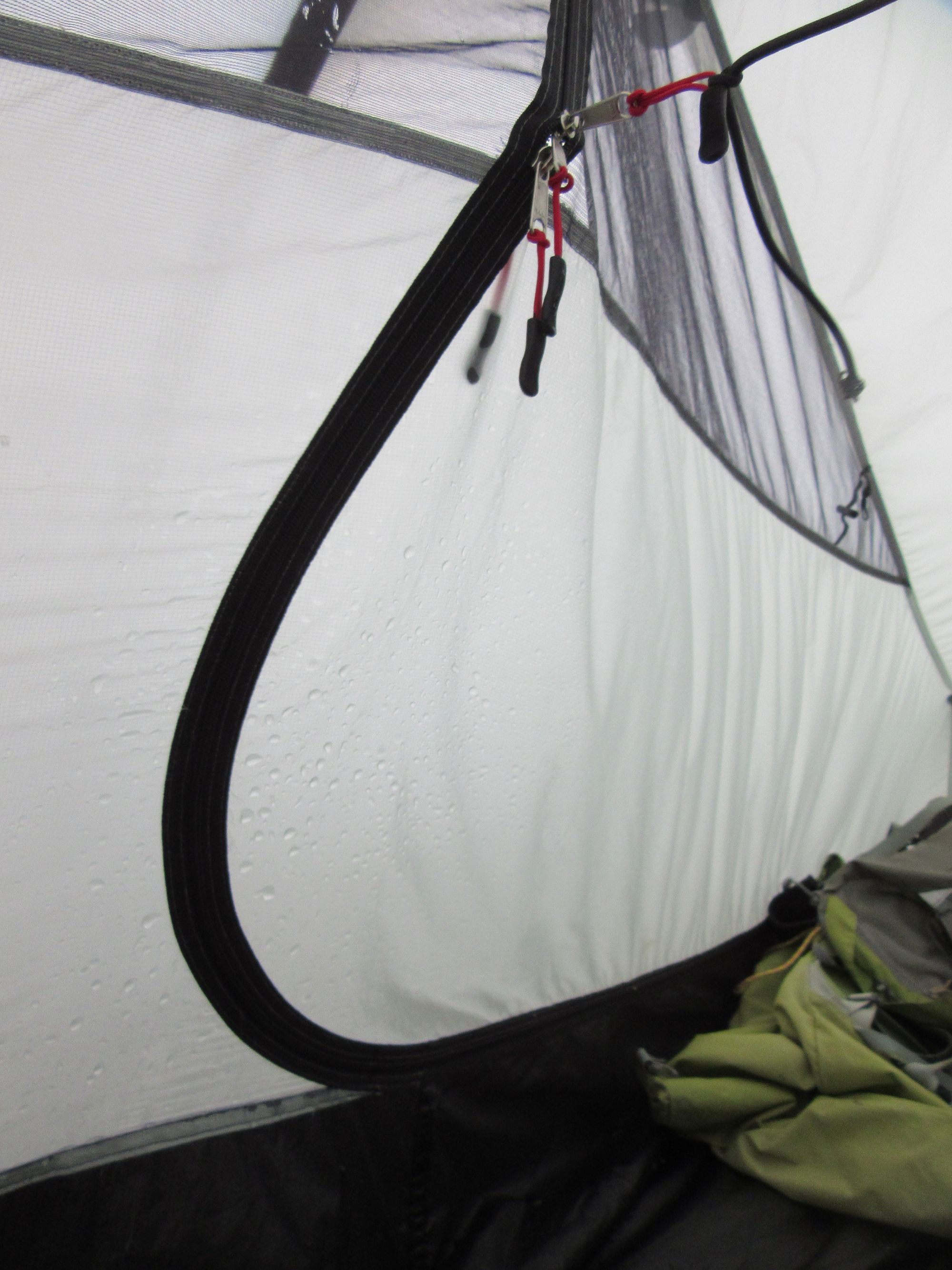
Getting splattered, and taking countermeasures.
Day 14
Mount Battock (C) – Hill of Saughs – Hill of Fingray – Shank of Mondair – Murmannoch – Craigancash – Sturdy Hill – descend tracks W of Burn of Corfinnoch – Auchmull – road to Twr – riverside path to meet B966 and bridge – B966 to Edzell – Hill of Edzell
Still wet and wild on Mount Battock in the morning.
Pretty unpleasant conditions today; I made a coffee and munched some biscuits for breakfast and then packed up and headed off. It seemed much rougher going along the crest than yesterday: very wet and with often only a hint of a path until I hit some tracks around the telecom mast on Sturdy Hill. There seemed to be some new tracks here not on the OS map, which confused me and I actually got led down to Mains of Balfour rather than Auchmull by the planned route listed above. By the time I realized the mistake it made more sense to carry on than to reverse course or try and go cross-country to get to the originally intended track.
From there it was easy road and riverside walking into Edzell in time for a nice lunch at Sinclair's Larder, where I ran into a few more TGOers.
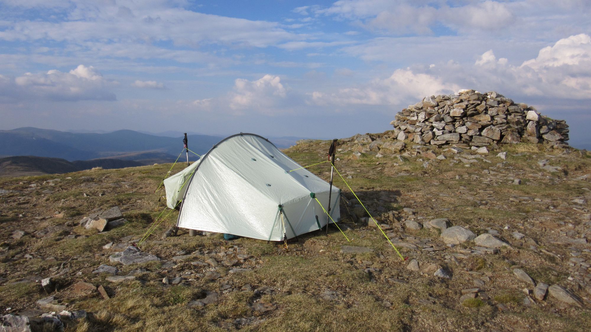
Most people seemed to be heading for a nearby campsite, but after such a superb run of high camps I was determined to get one more in before the finish. Hill of Edzell looming over the town was the obvious location to inspect and turned out to have a nice little grassy patch next to the trig point.
Day 15
Hill of Edzell – Edzell – S on B966 to Inchbare – at Smiddyhill SE on minor road ot Hill of Stracathro – E then SE to Hillside – S on A937 to Montrose
The final day into Montrose!
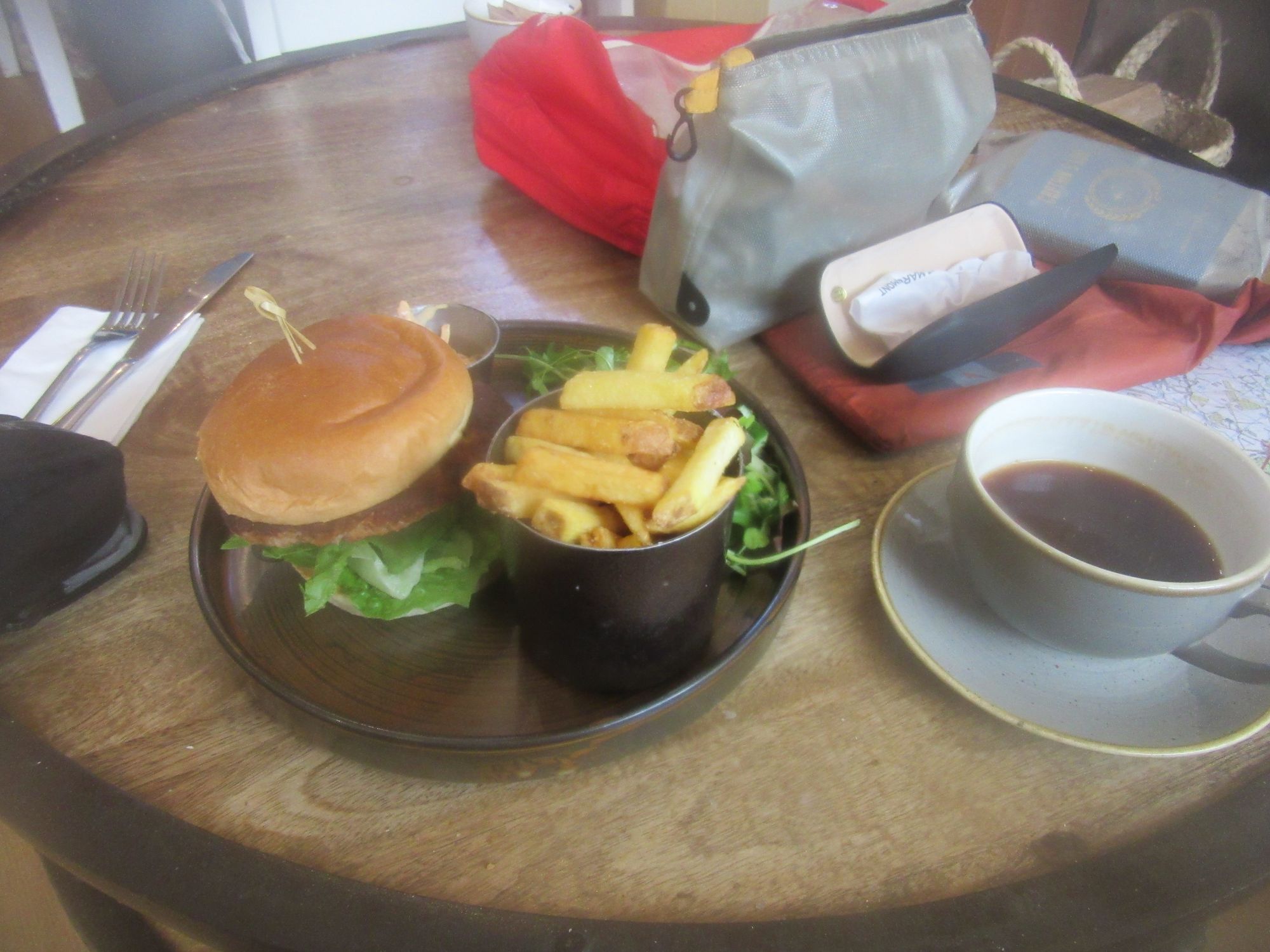
This was mostly a lot of tedious tarmac bashing. Along the way some TGOC veterans had mentioned the Charleton Farm cafe as an essential final day stop, and at Hillside I diverted from the planned route - a straight plod into town beside the A-road - to pay a visit. Lots of TGOCers present!
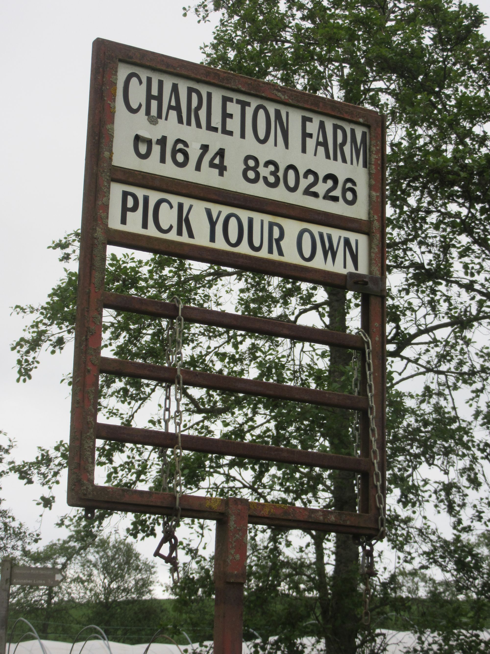
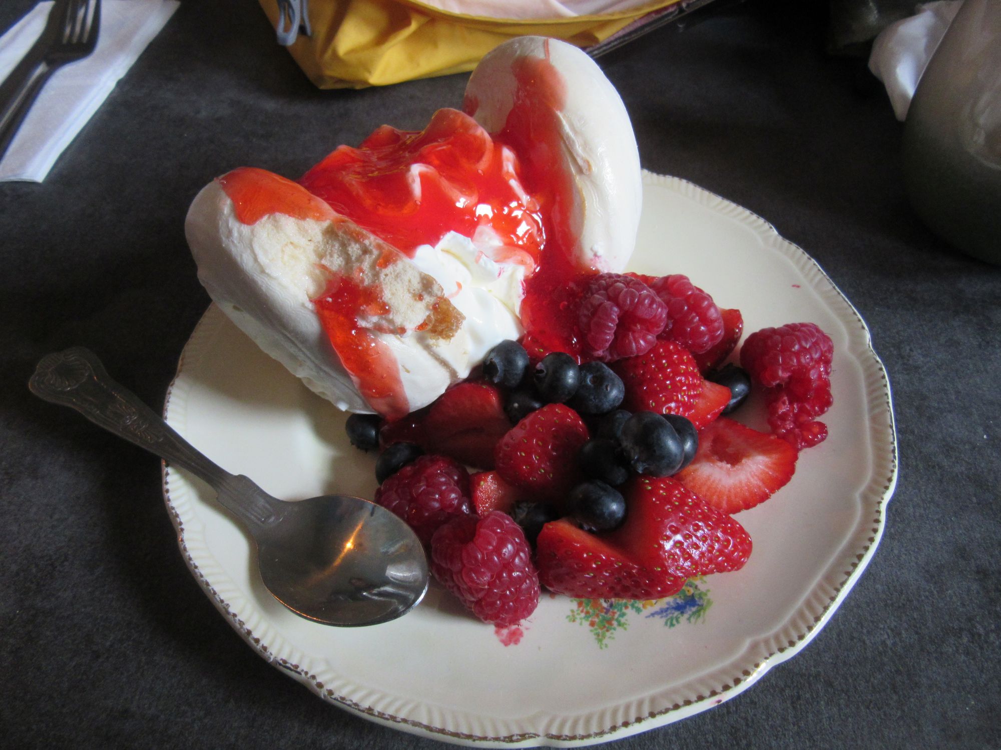
Charleton Fruit Farm cafe.
From there, the obvious line was to continue directly eastwards to the coast, where boots were dipped in the North Sea.
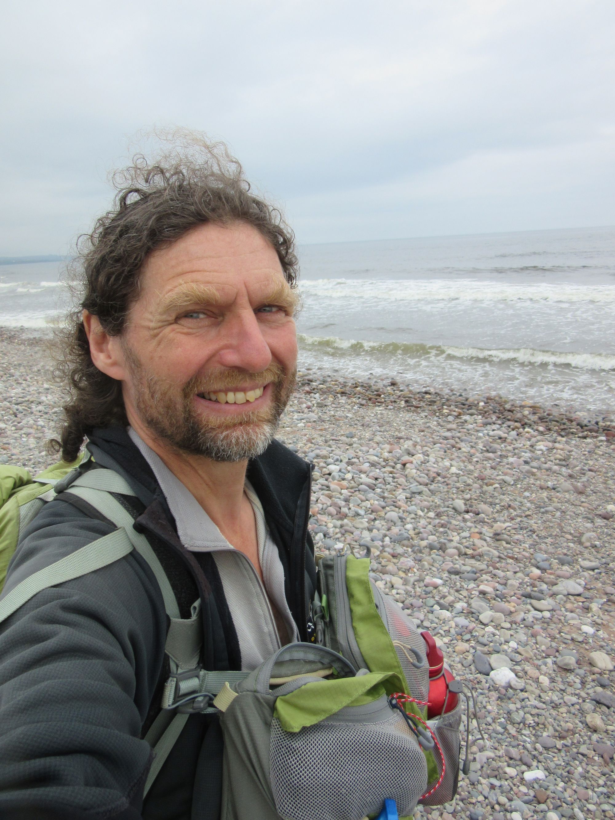
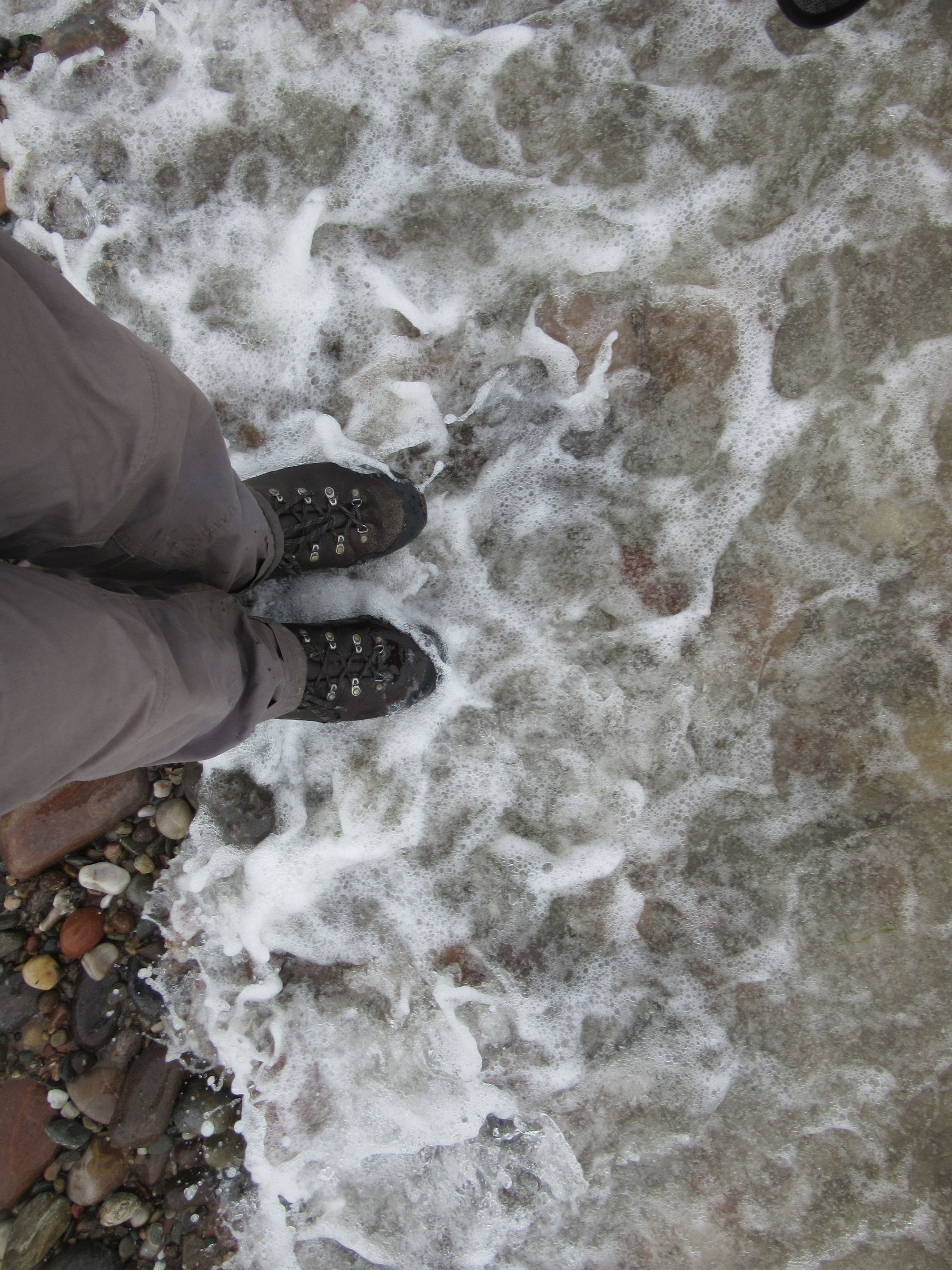
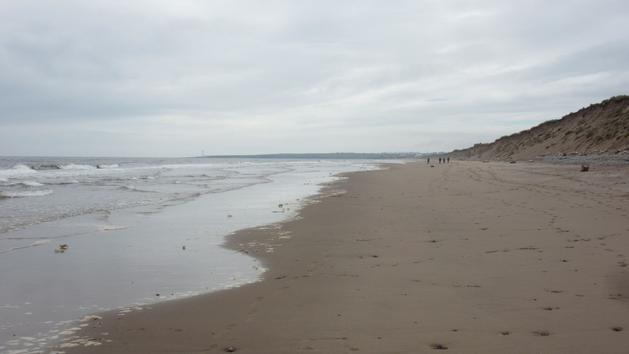
All the way across Scotland: on the beach at Montrose Bay.
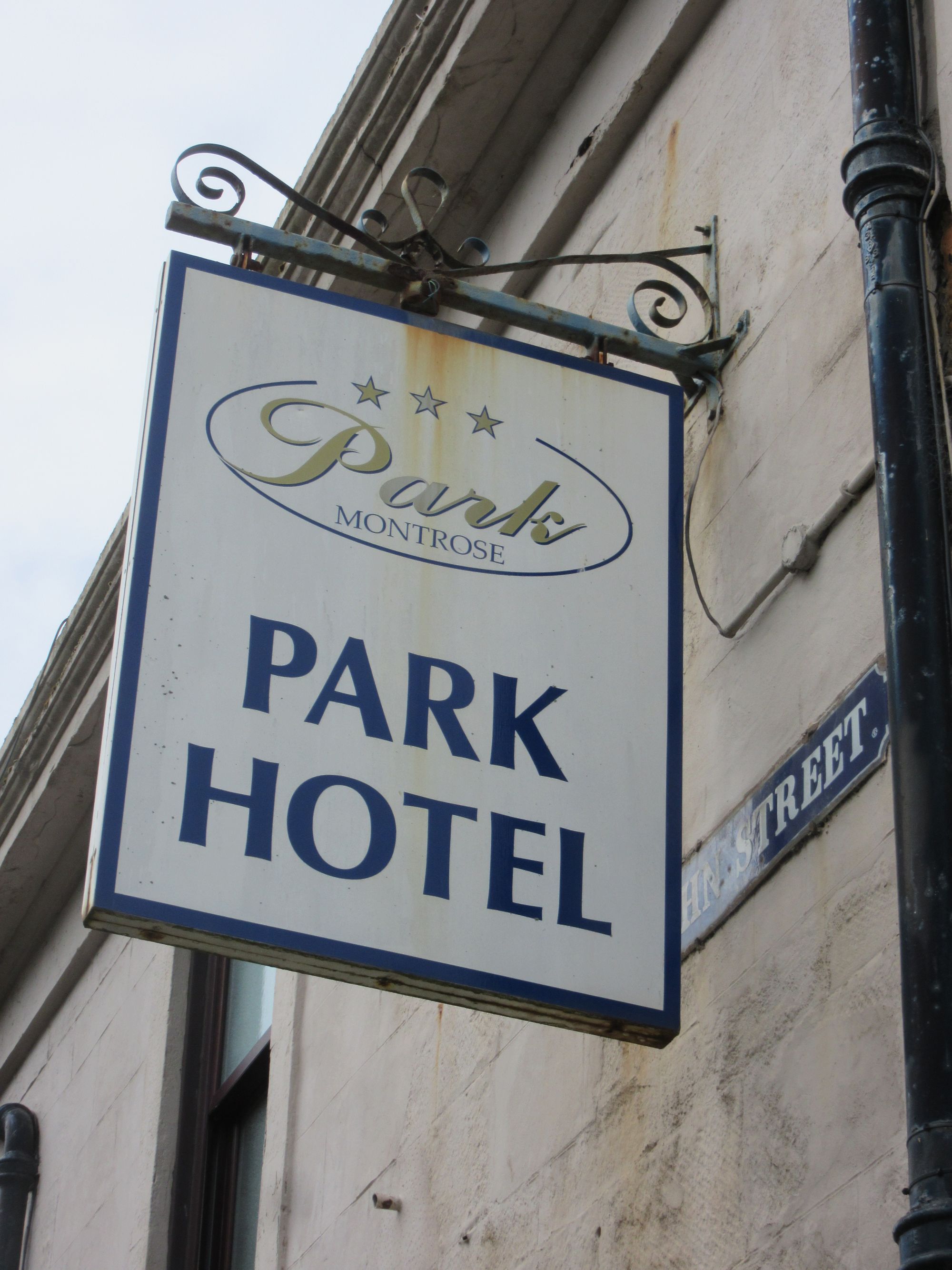
A march down the beach (shingle then sand) bought me into Montrose and to the Park Hotel and a check-in with "Finish Control" at the end.
What an epic trip! And overall, so lucky with the weather!
As I'd started on the second of the start days and used the full fifteen days allowed, this was the last of this Challenge's series of dinners. It was busy! I was especially pleased to meet my route-vetter Colin who'd been so encouraging in his comments.
Epilogue
Some numbers
Of the fourteen nights out on the trail, I spent eleven camped out: ten of them summit camps, including seven on Munros and one on a Corbett. The other three were in a (non-MBA) bothy, an "aparthotel" in Kingussie and a "pod" in Braemar campsite.
Total "bagging" haul was (as per the original plan) eighteen Munros, fourteen Munro tops (many of them useful additions to my second round of Munros) and one Corbett.
According to the numbers I'd entered on my route sheet, the average distance per day was 19.5km. (Or 18.1km for the FWA days, but I never needed to use any of them). Ascent varied enormously, with 2315m & 1820m for the first couple of days, but then in the 100m-1000m range for the rest of the trip.
Equipment
Main bits of gear were:
- Tarptent Scarp - originally a silnylon model which I'd been using in Scotland for a few years now, but I upgraded the fly to the new "Ultra" material earlier this year in time for the TGOC.
- Exped Ultra 3R M Mummy air mat with pump bag and repair kit.
- PHDesigns "triobag" - an experimental product in 2018 and not offered again since, so far as I know.
- Aarn "Featherlite Freedom" pack. Started the trip with "expedition" balance pockets fitted, but then switched them for the regular pockets at Kingussie.
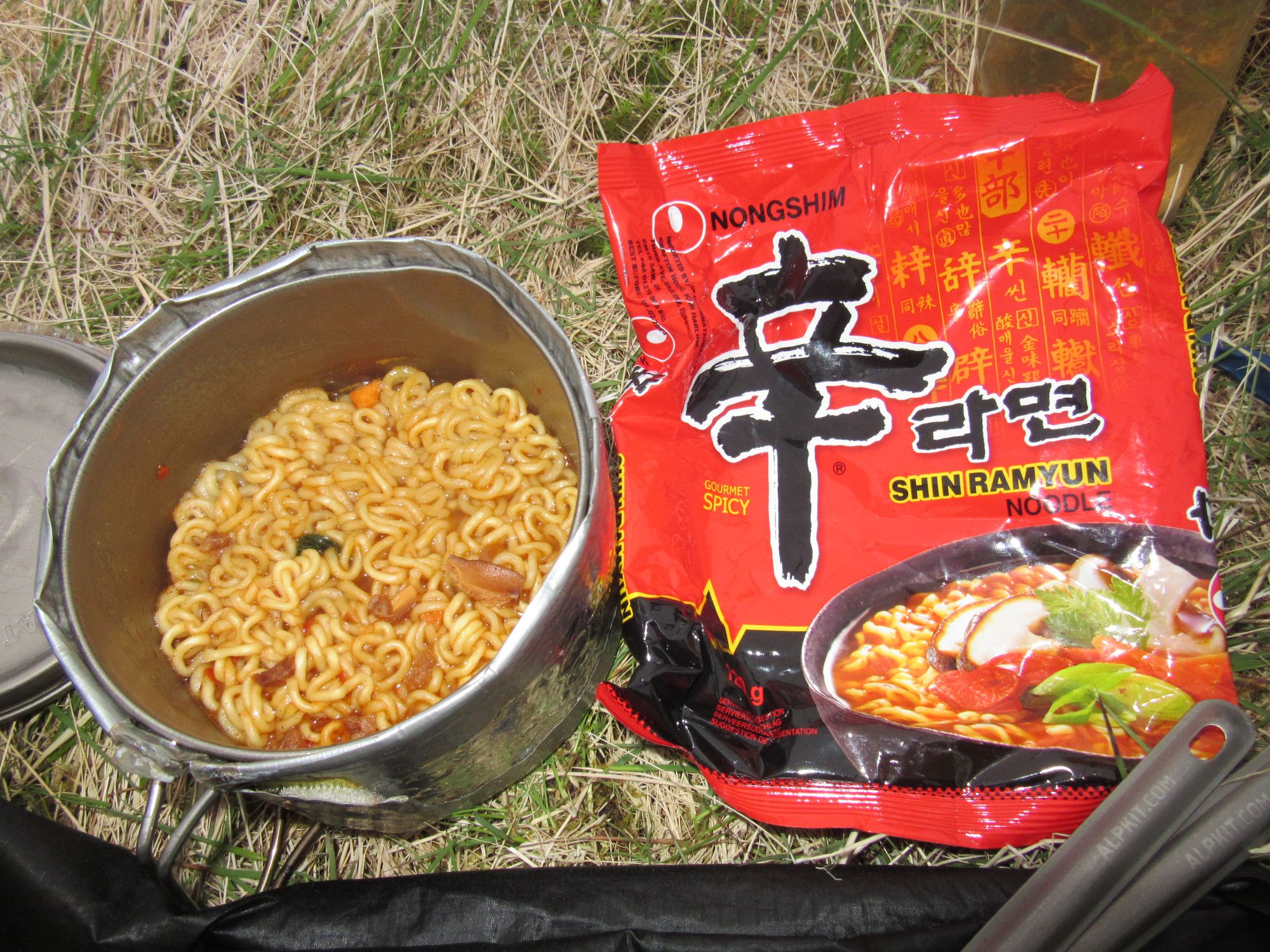
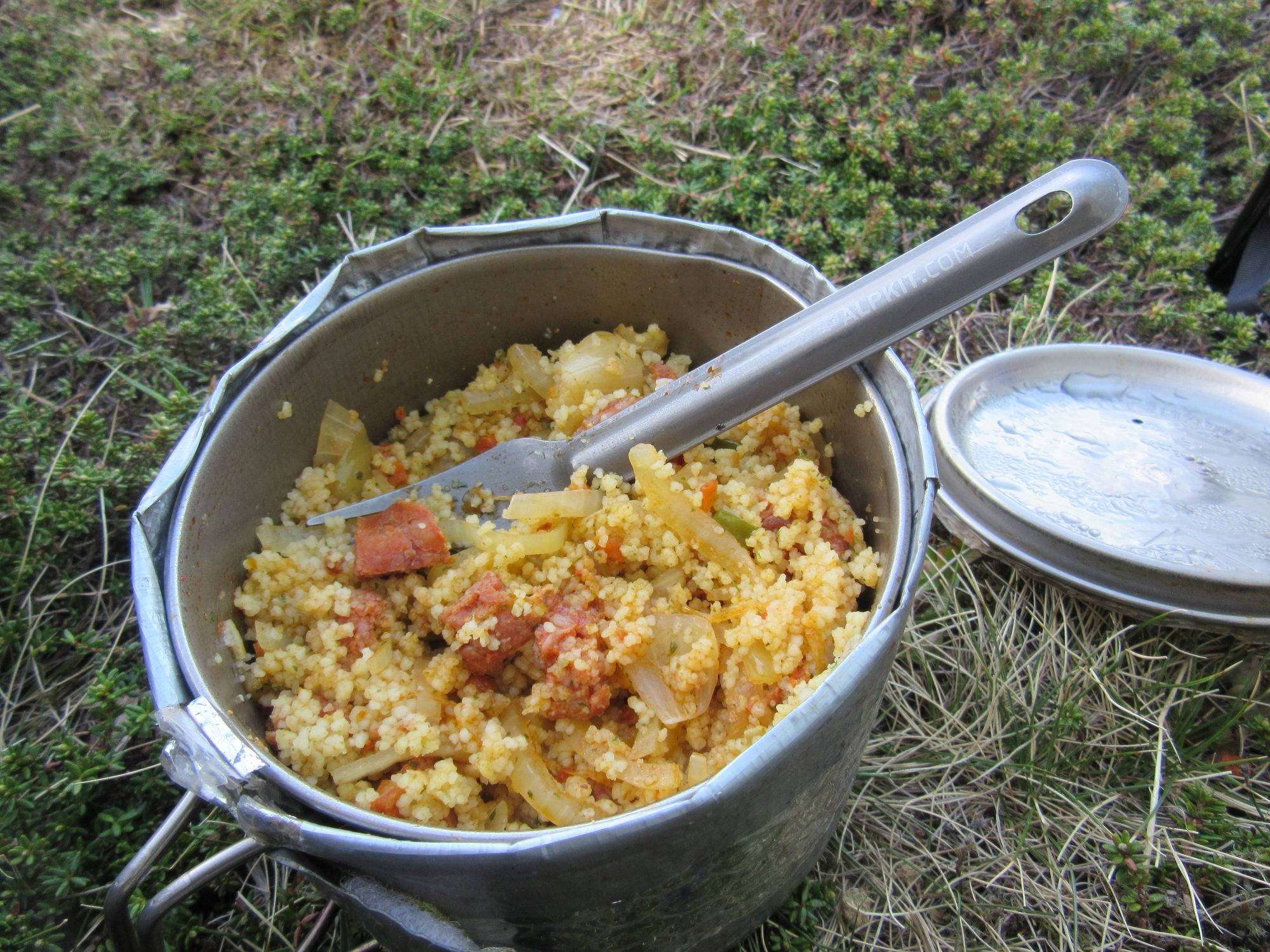
- MSR Pocket Rocket and an MSR "Titan" pot and mug.
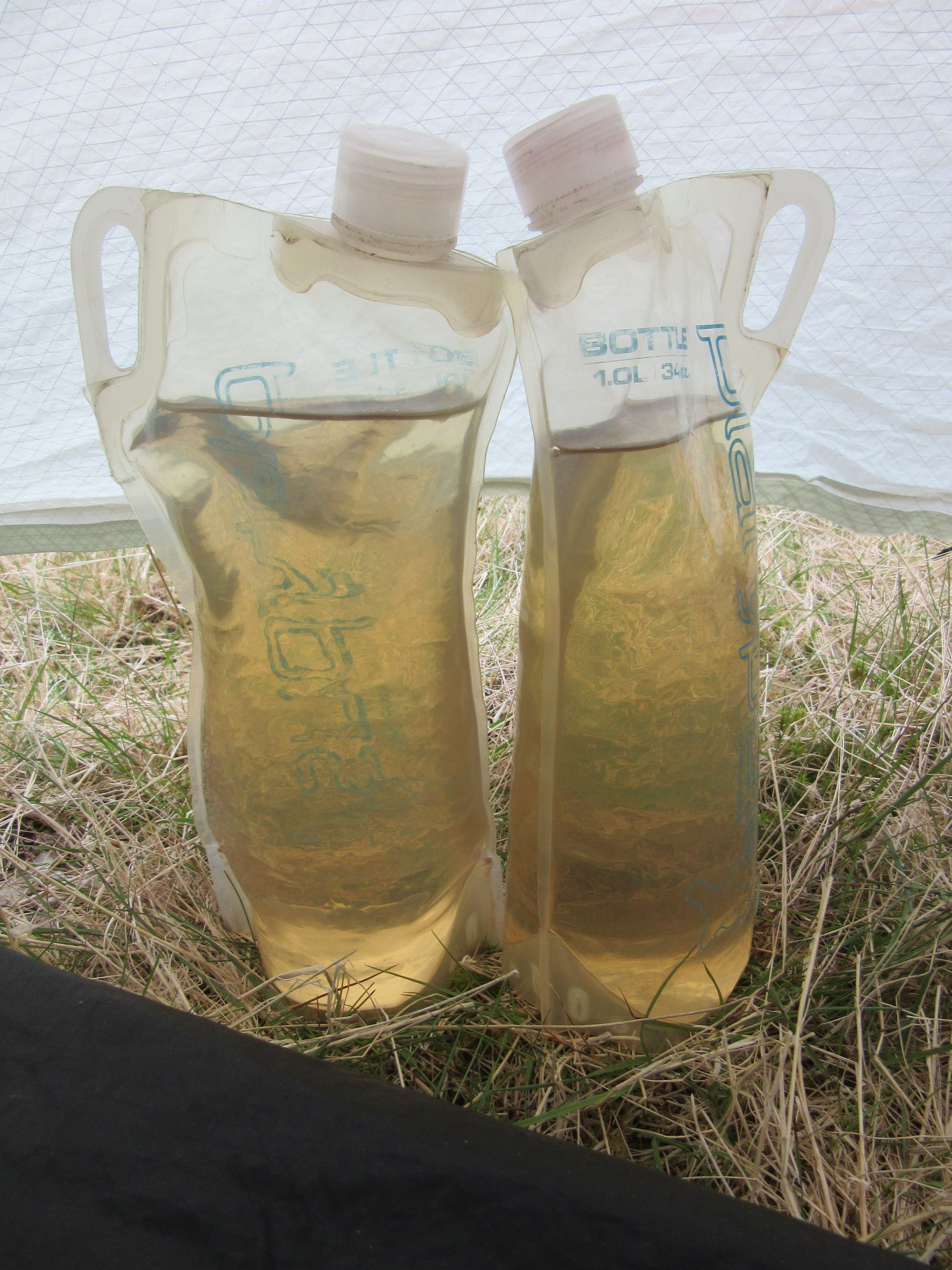
I don't normally bother with a water filter on trips in Scotland where I'm at altitude and away from livestock and civilization, but as that wasn't the case for all of this trip I did take an Alpkit "Hippo" water filter along. In the end I never used it.
What should I have done differently?
No regrets about the route taken, but if someone forced me to do much the same route again I'd probably:
- Take a more sporting line across the Monadhliath rather than the rather tedious tracks through the Glendoe wind farm.
- Not try and repeat the Faseilach - Mount Keen section. I think I got lucky with the dry conditions this time. But now having "been there, done that" I don't think I'd push my luck with it again!
- Find a route to the east coast with less road walking on the final day. Stonehaven seems to be a popular TGOC end point with this in mind.
Back again next year?
Oh yes! A high-level route connecting Ben Nevis with Ben Macdui (and ideally including all the Scottish 4000ers) perhaps?