HRP 2023 east-to-west: stage 5 - Lescun to Hendaye
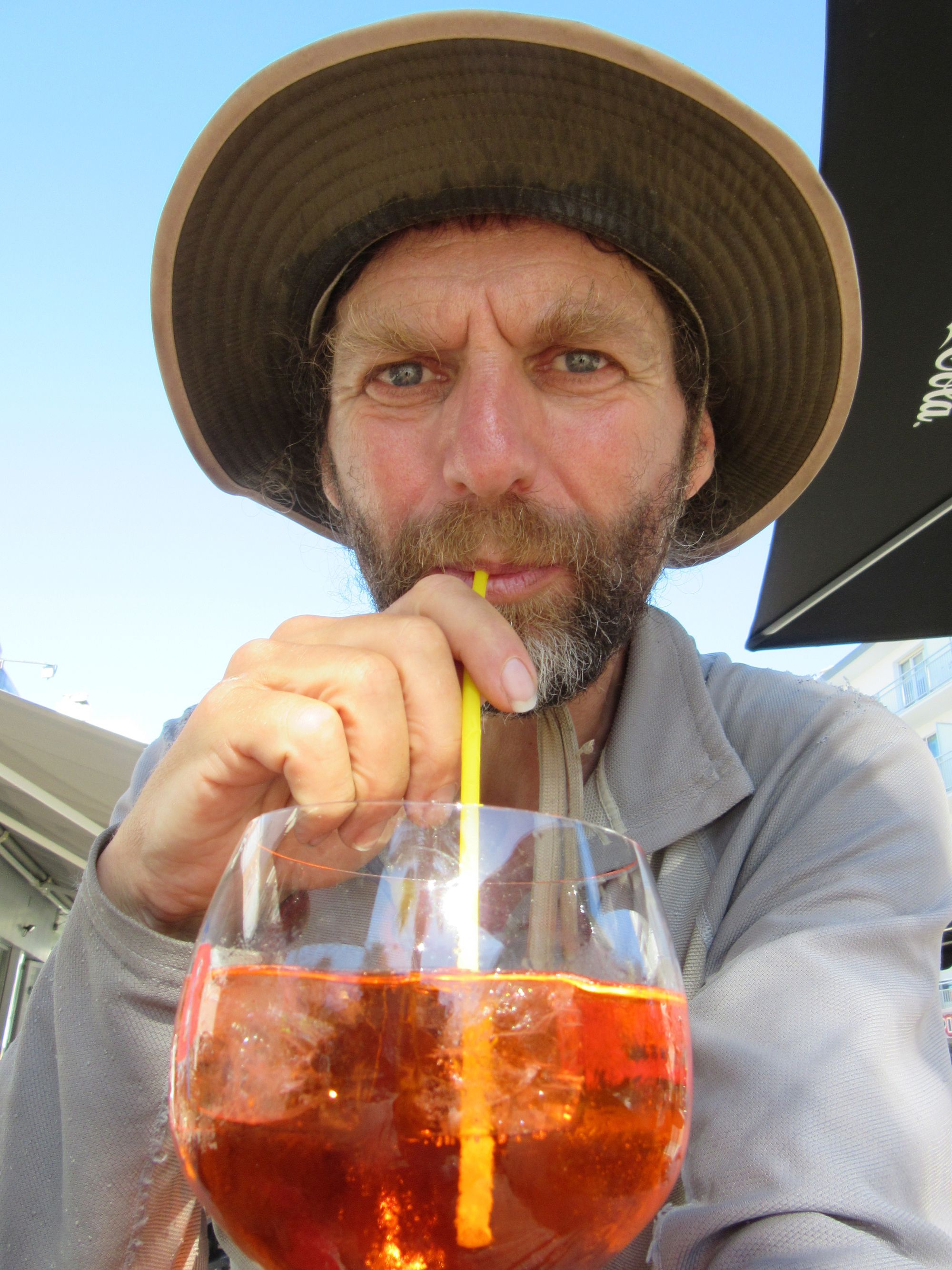
I let some Atlantic waves wash over my dusty boots and slurped an Aperol Spritz in the Bar de la Plage.
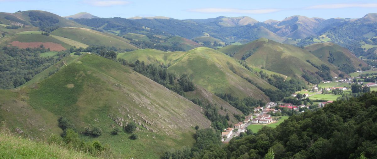
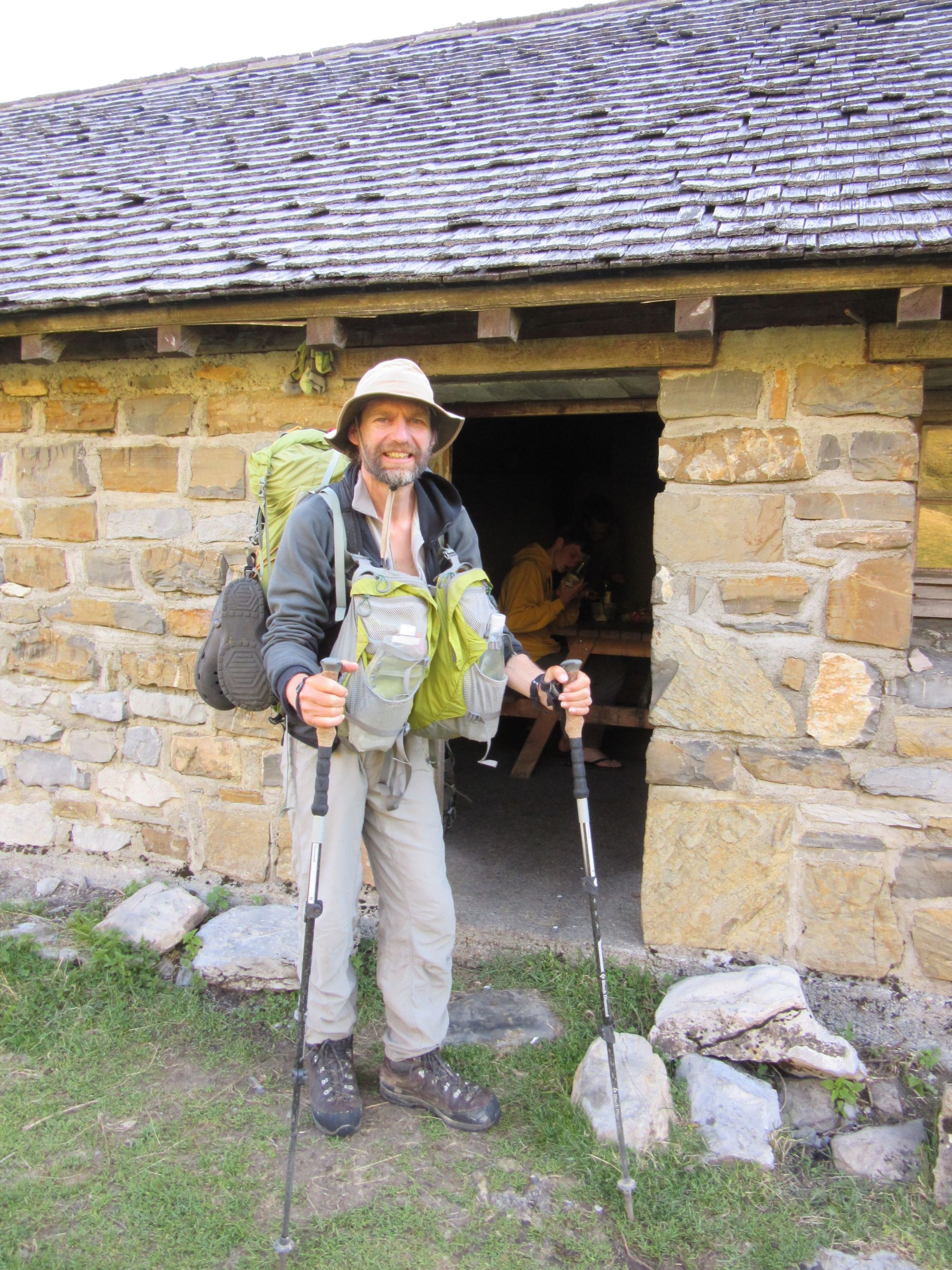
Day 33b: Lescun to Source de Marmitou
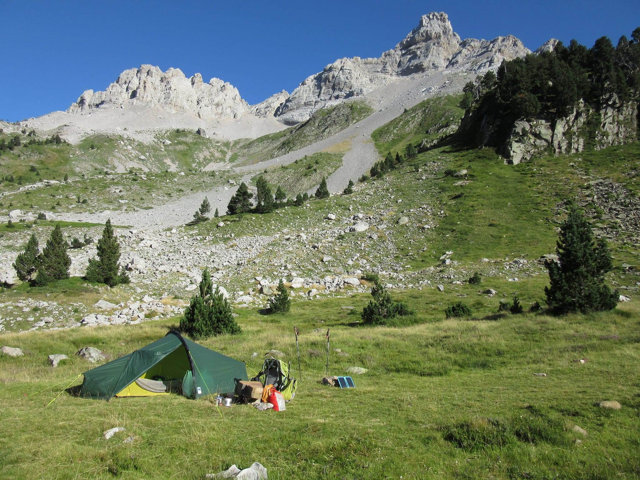
Left Lescun after lunch and the shop and slogged up to Source de Marmitou, which - along with the Barroude lakes - was on my camping must-do hit-list for this trip.
A couple of other parties subsequently appeared (not HRPers) and seemed a little miffed to find someone was already on the spot they'd clearly had in mind (follow the cairns up towards the source and there's a nice flat non-stony grassy patch with a fire ring). "Are you staying here?" one of them asked hopefully (hmmm... let's see... tent up, laundry hanging out to dry, second pot of tea on the brew... what do you think?)
Day 34: Source de Marmitou to Cabane d'Ardane
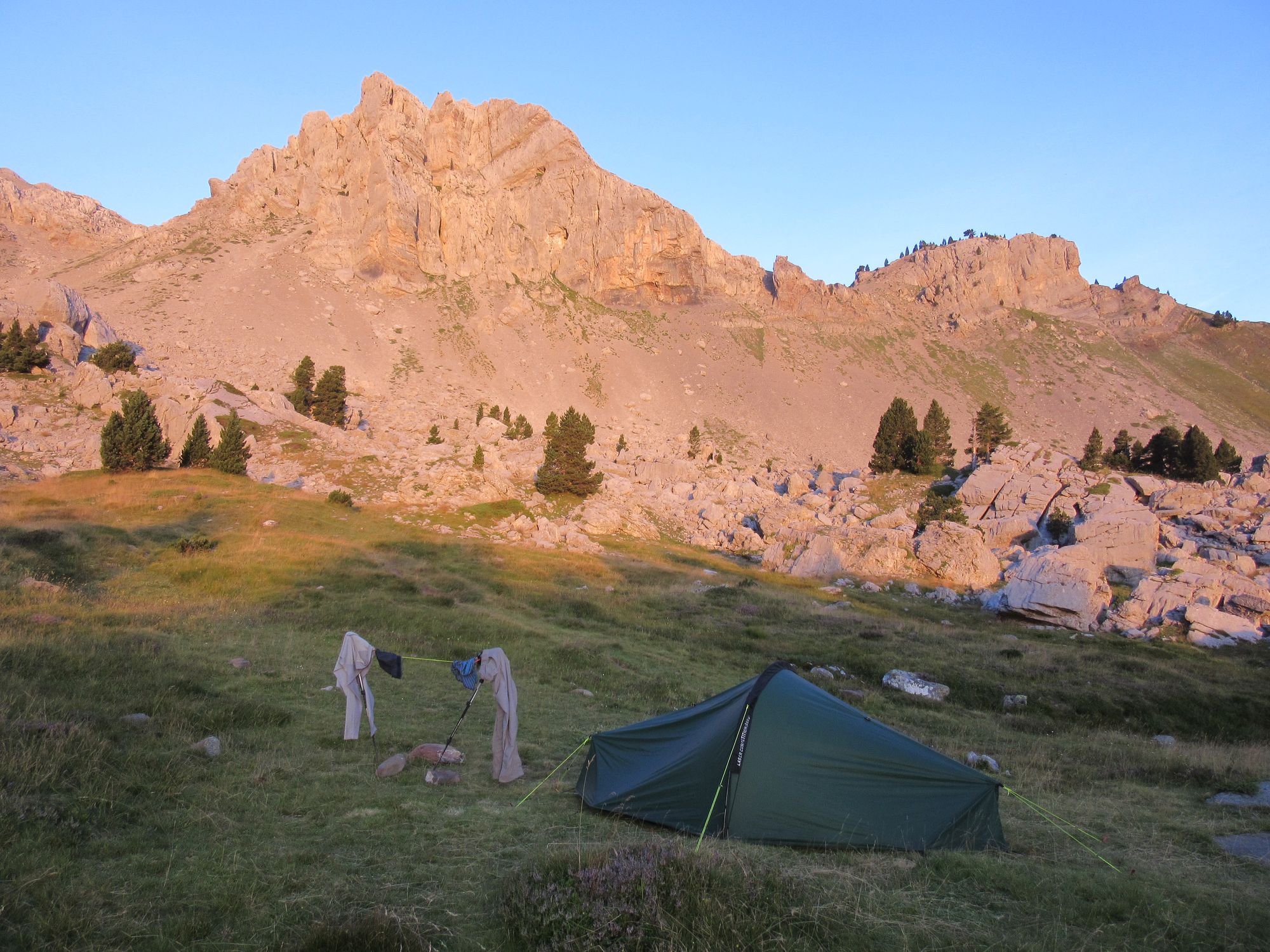
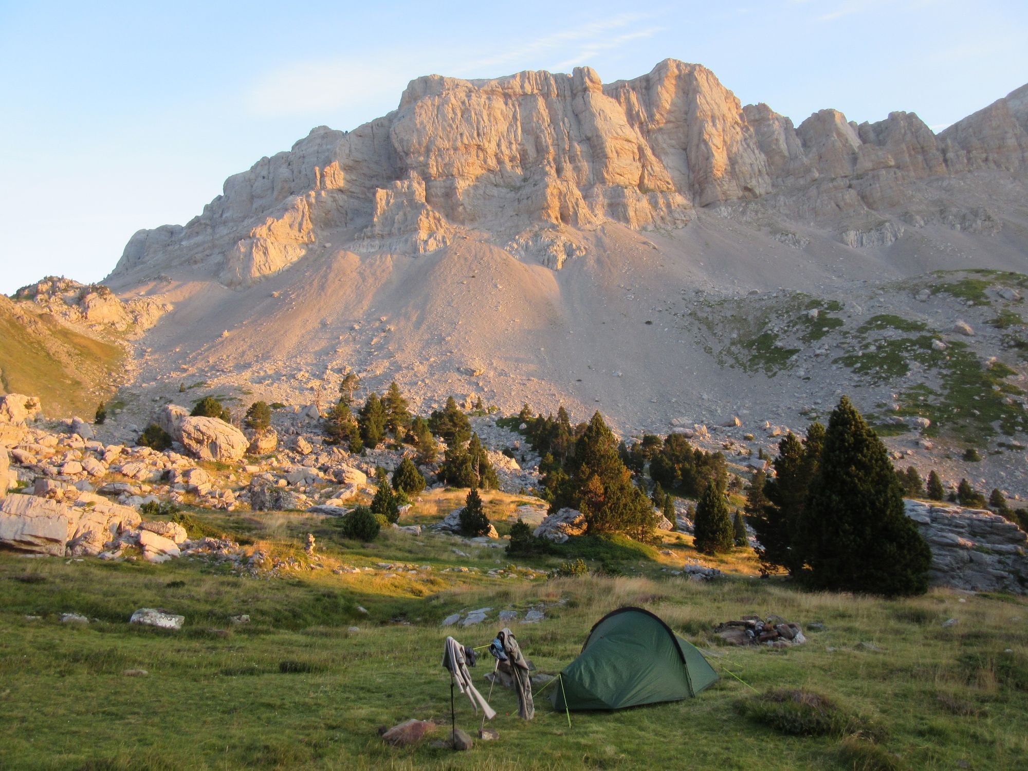
Camped at Source de Marmitou at sunrise.
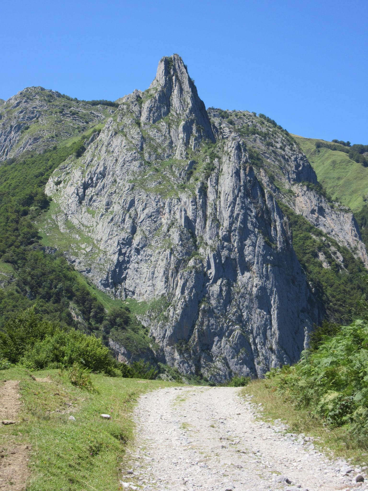
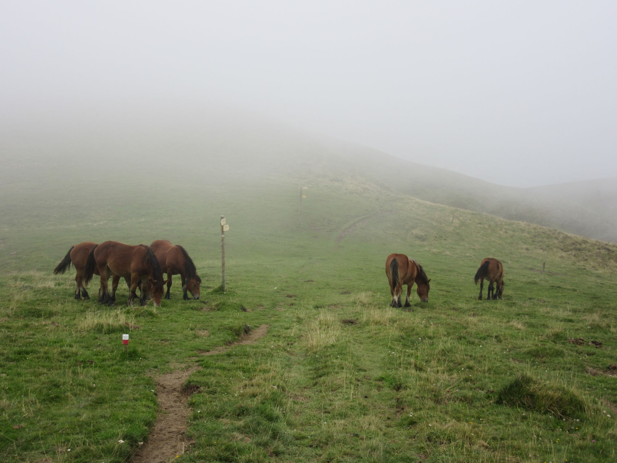
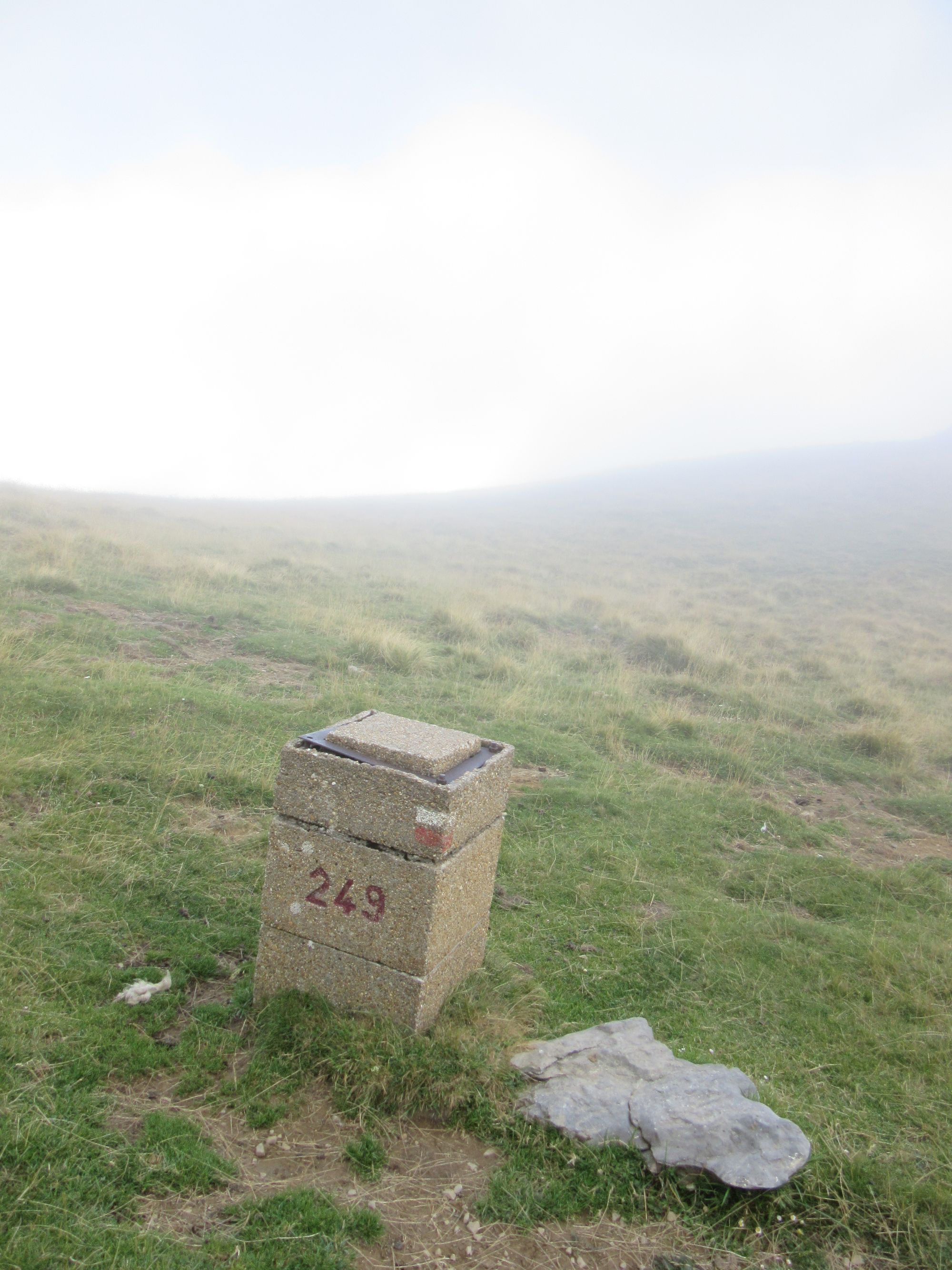
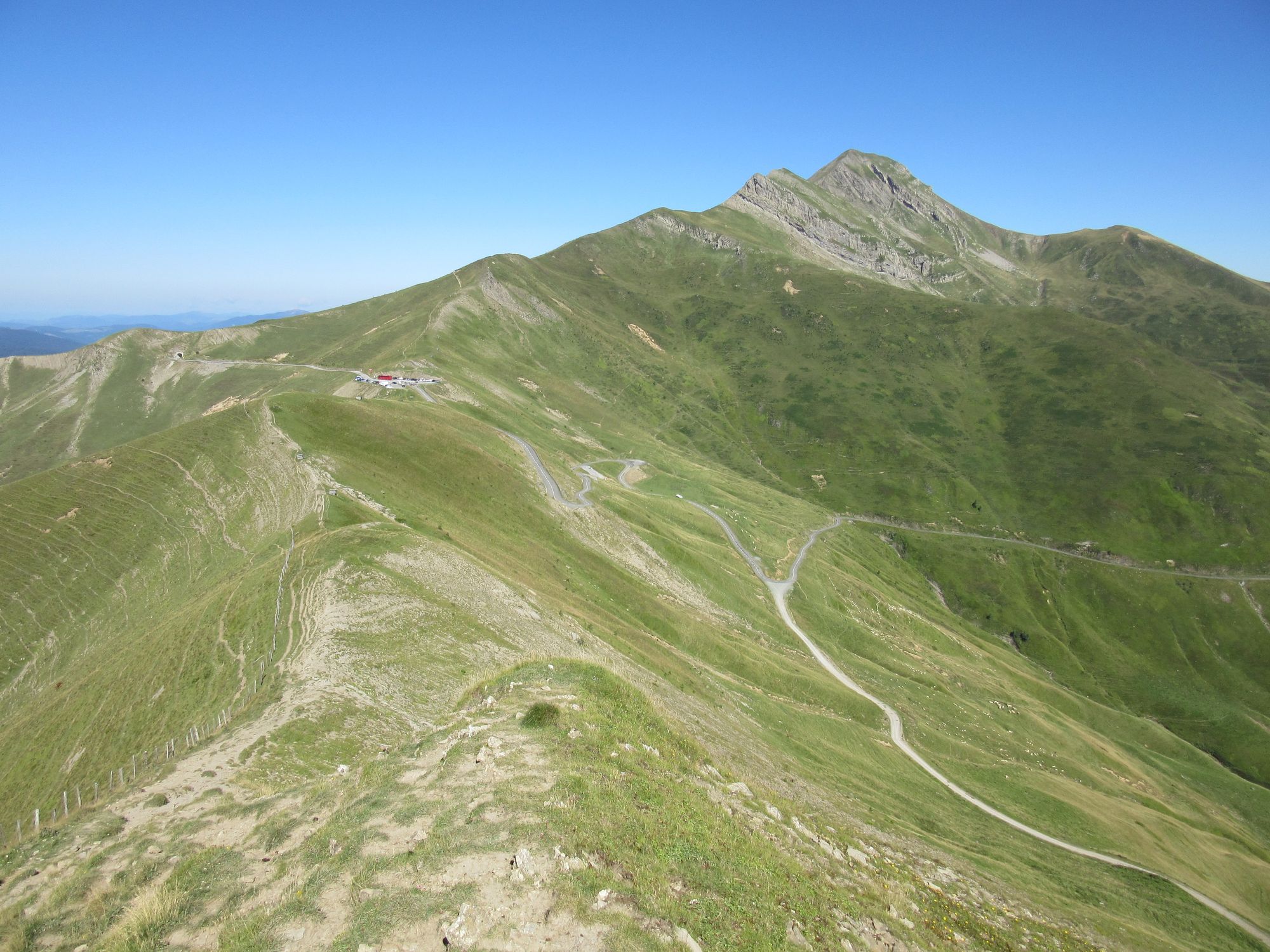
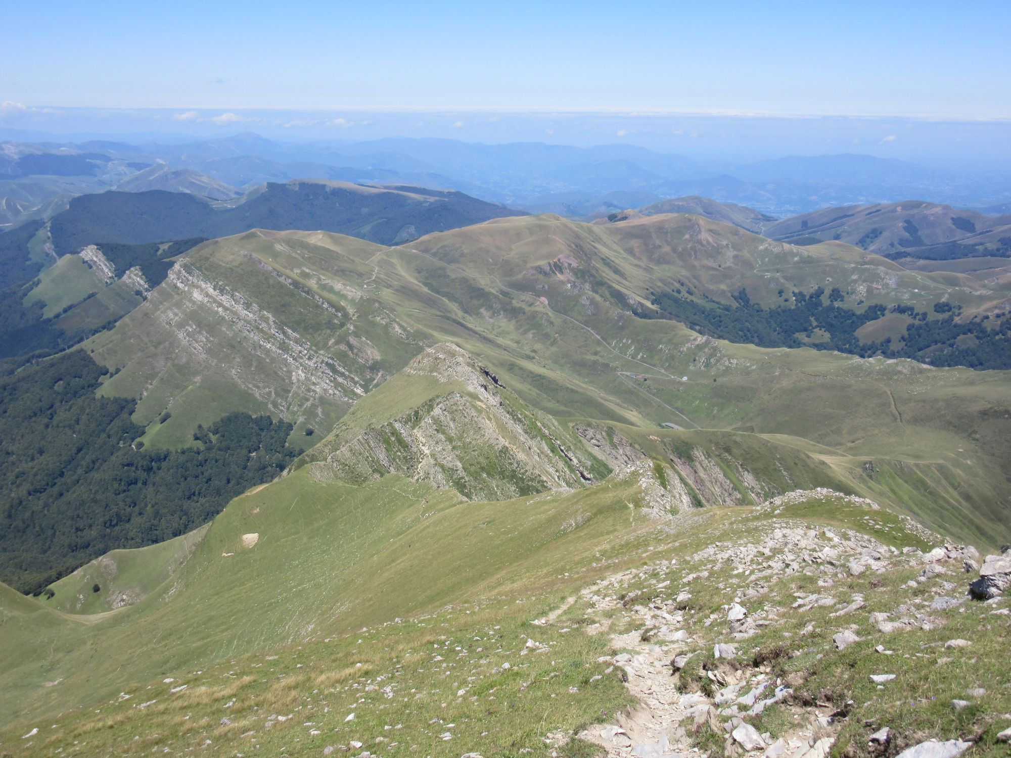
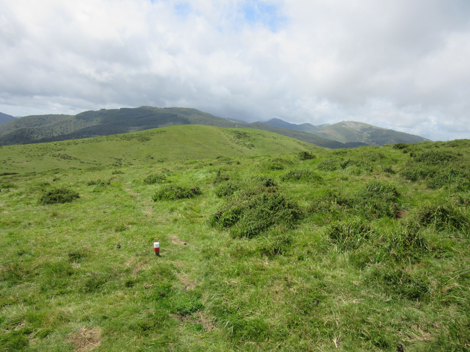
From Source de Marmitou, climbed over the Col d'Anaye as the cloud lowered and drizzle started. There was no shortage of red-and-white route marks; at one point I could see and count the next nine ahead, despite reduced visibility in the cloud.
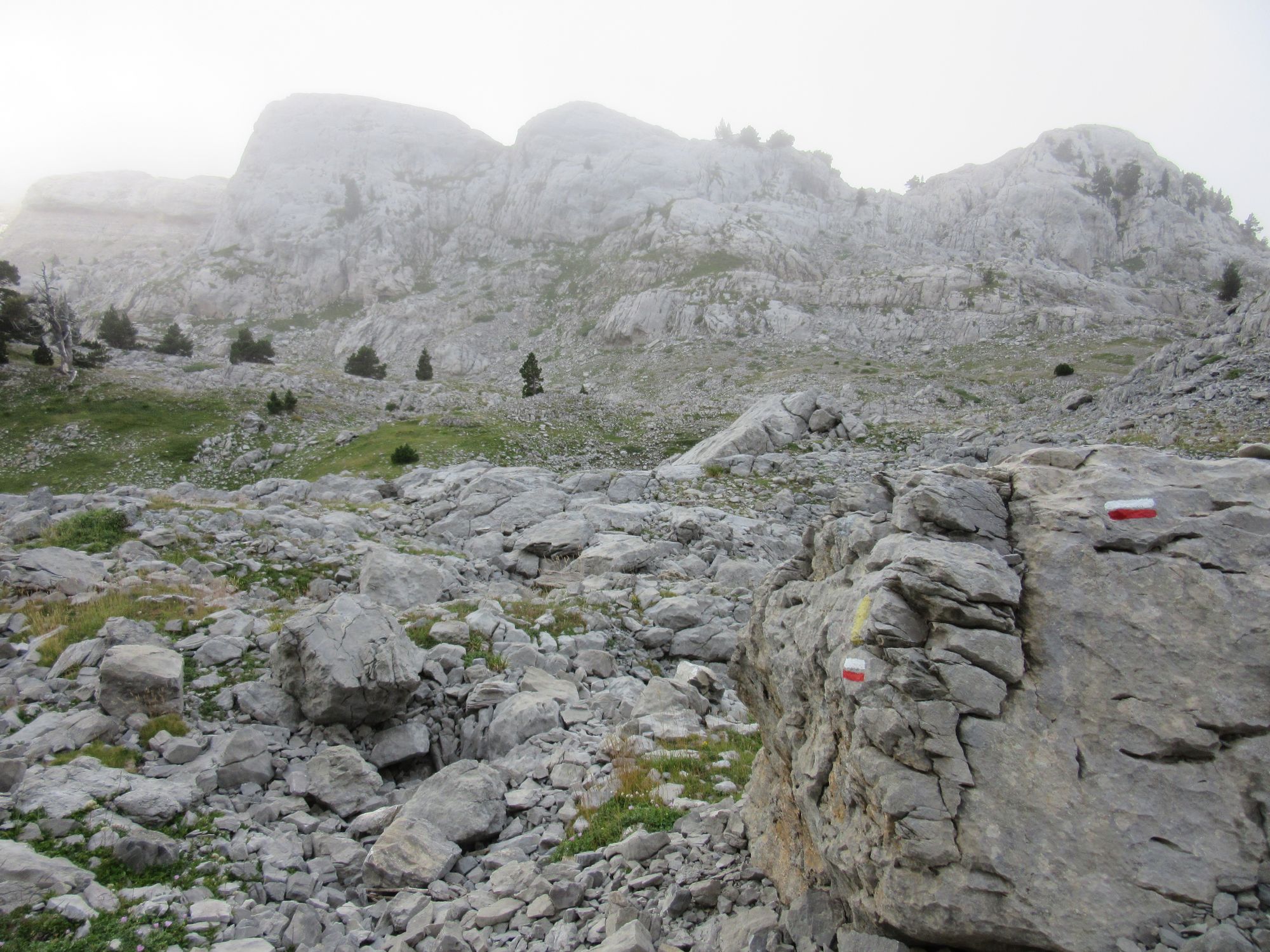
The well waymarked route through the karst landscape.
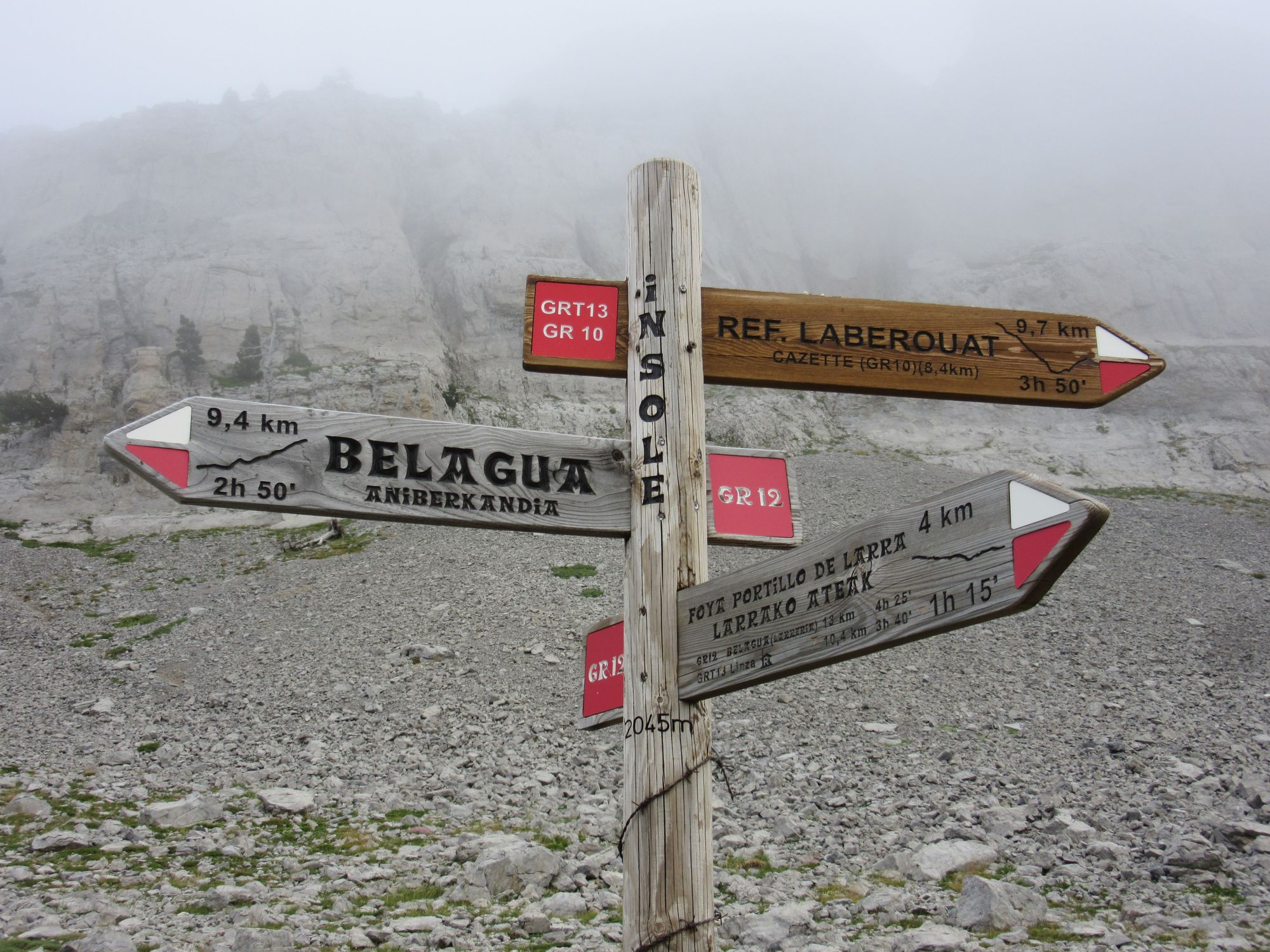
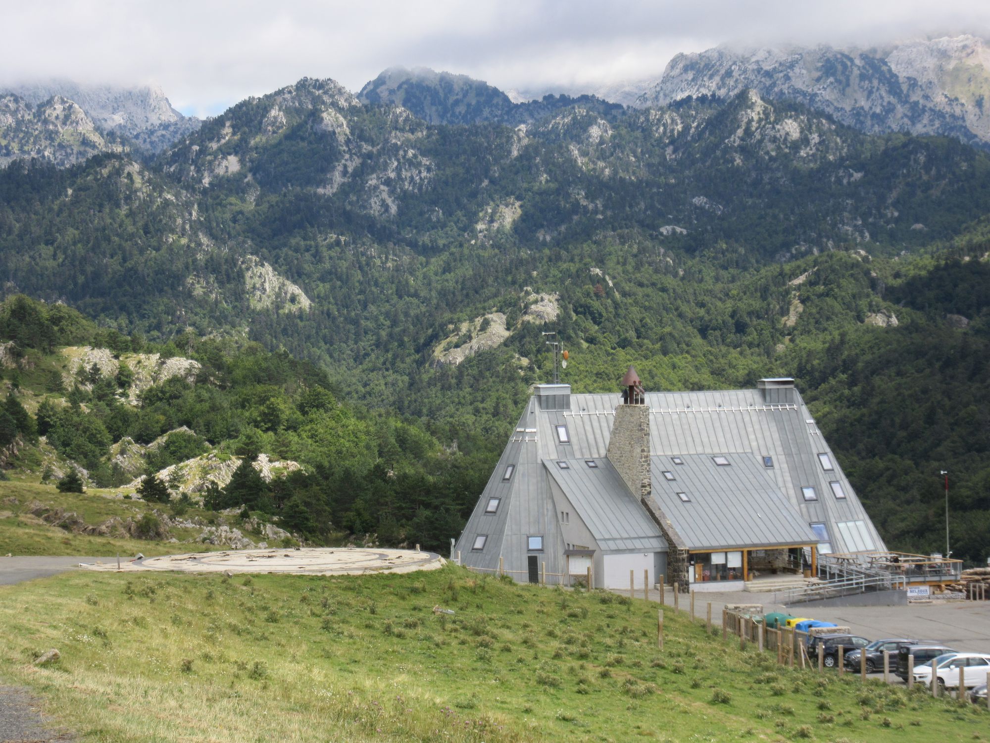
Walked to Belagua in the rain and had a long lunch and made the most of a recharge opportunity as the solar panel was stowed well away today.
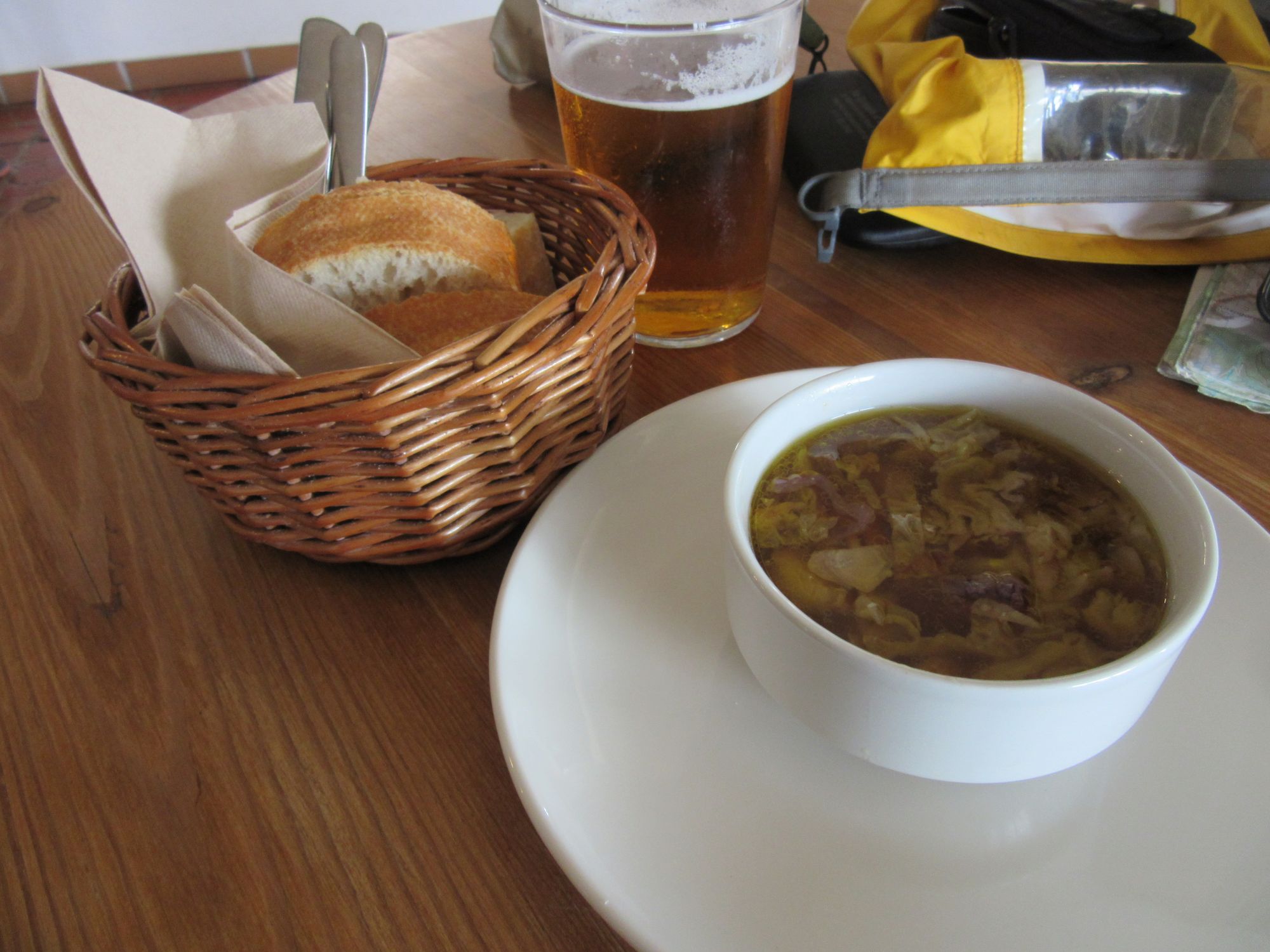
Belagua Refuge lunch.
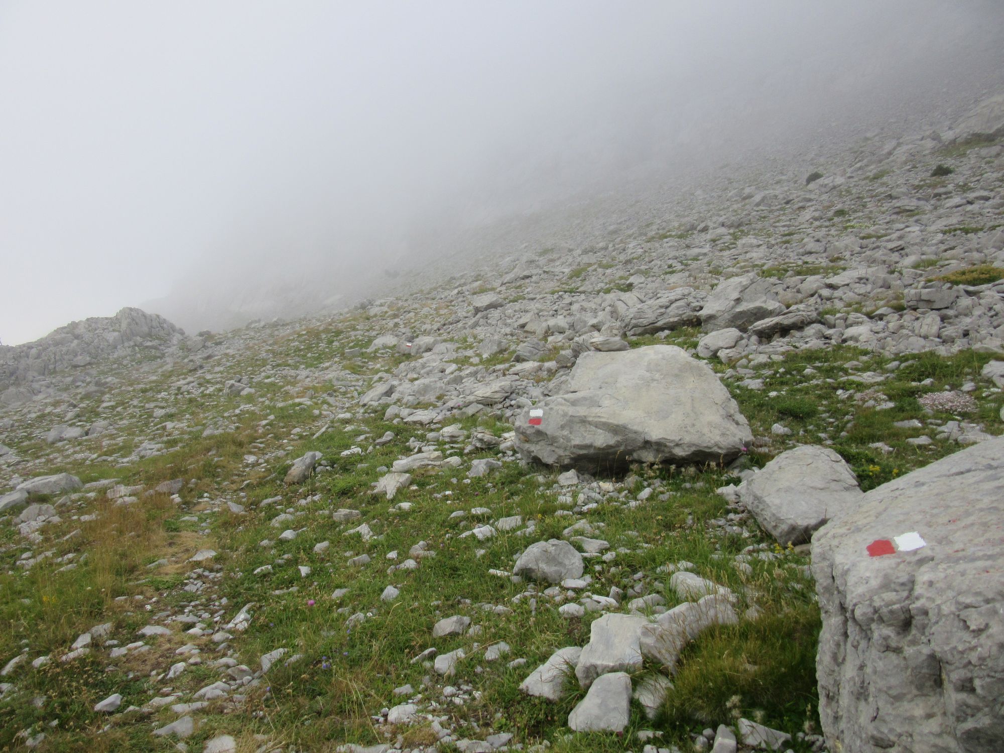
The weather looked like it was improving as I left but it soon reverted to clag and drizzle, although with occasional glimpses of sun, blue sky and green valleys. It got even better later, and I would have been tempted to camp... if I'd had more water on me, but there's just none up on the ridge except for one gully with some very muddy and thoroughly animal-messed puddles.
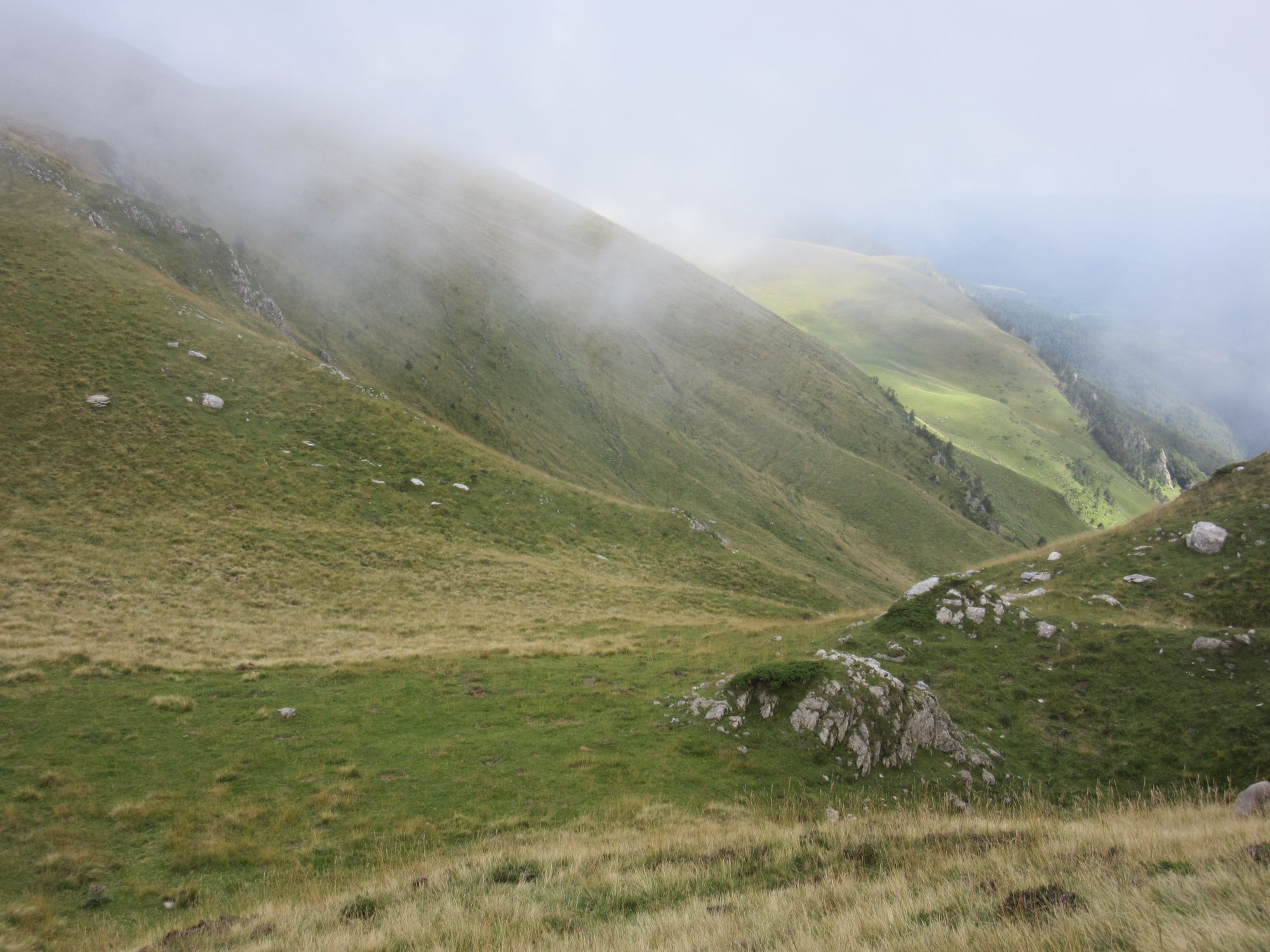
Up in the cloud on the way to Cabane d'Ardane.
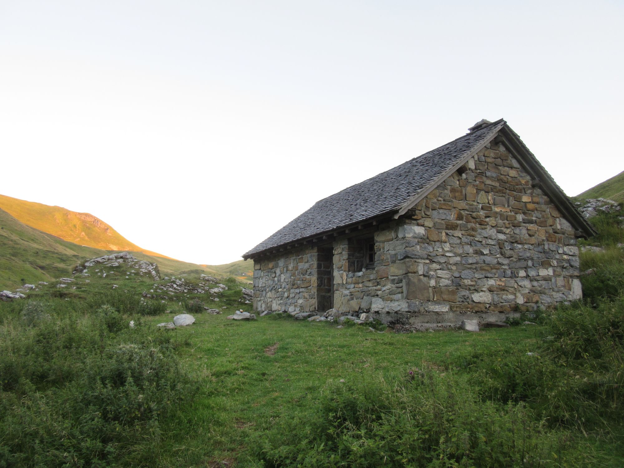
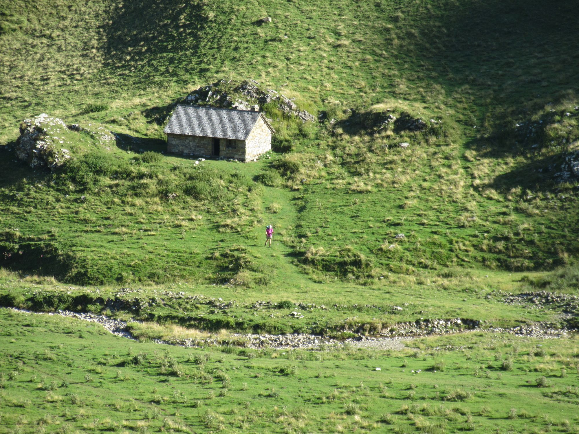
I went down towards Cabane d'Ardane in search of water, but by the time I found any I was so near the Cabane I just went in there anyway. It was empty when I arrived but I was later joined by a German family of 3 (west-to-east HRPers), and the French east-to-west chap I'd already bumped into a couple of times before.
Day 35: Cabane d'Ardane to Crete de Heguichouria
Despite all of us in the hut agreeing we were setting alarms for 6, somehow we all overslept until 7! Opened the door to beautiful clear blue skies.
Leaving Cabane d'Ardane.
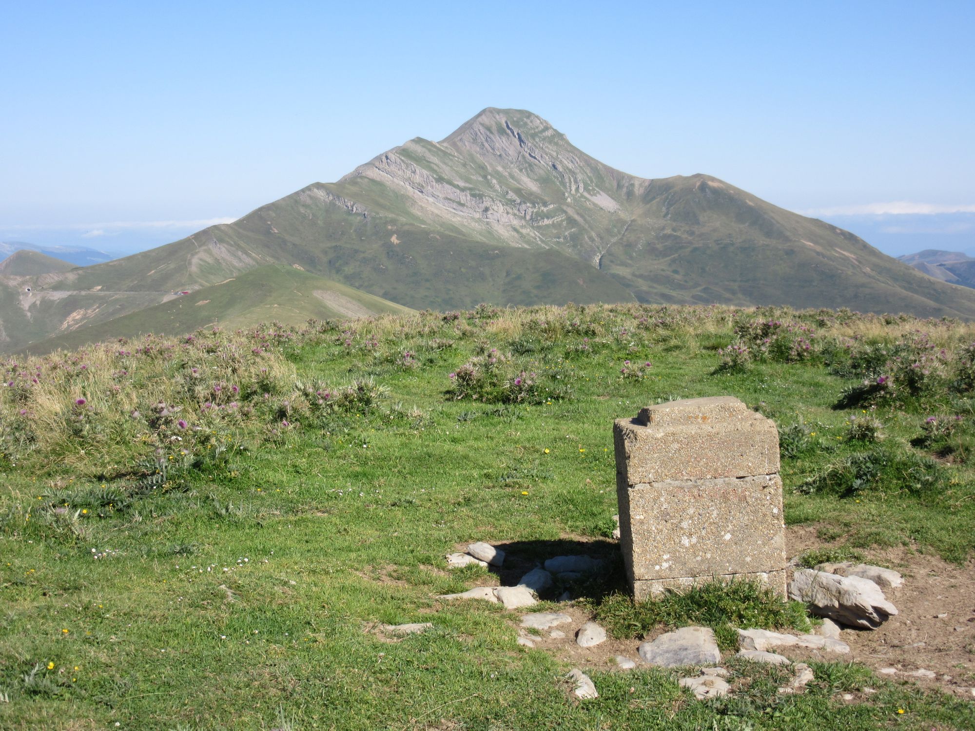
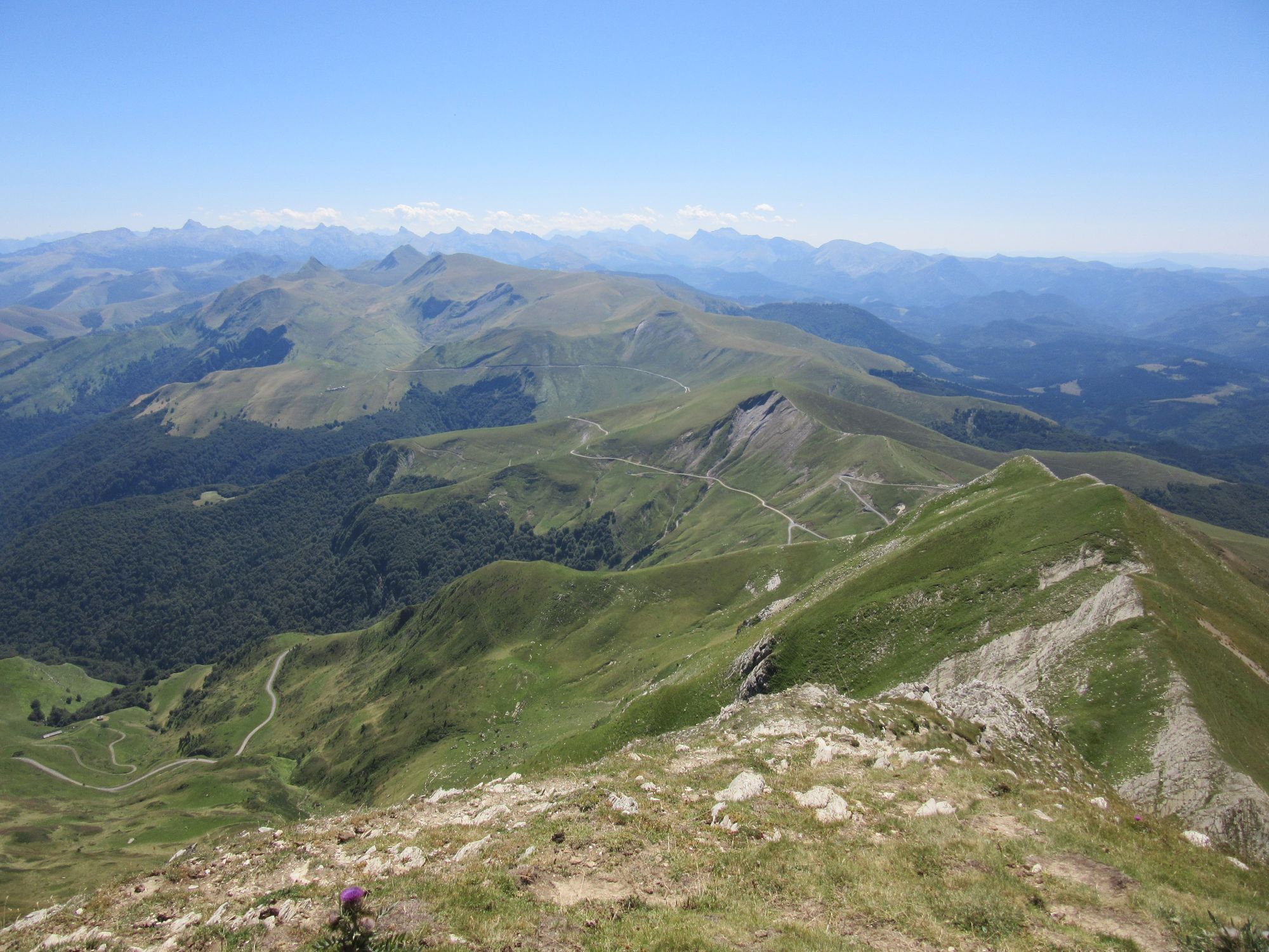
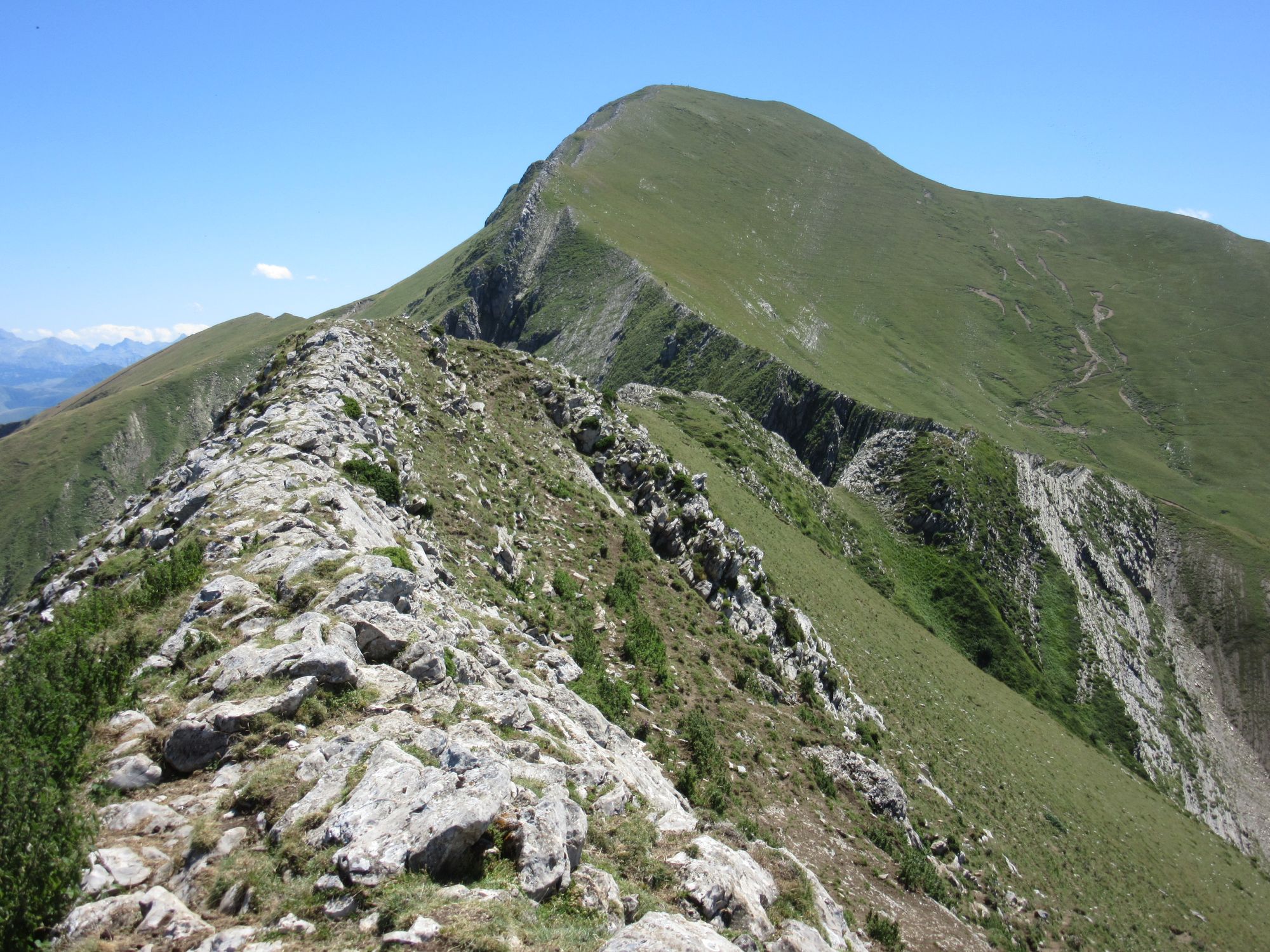
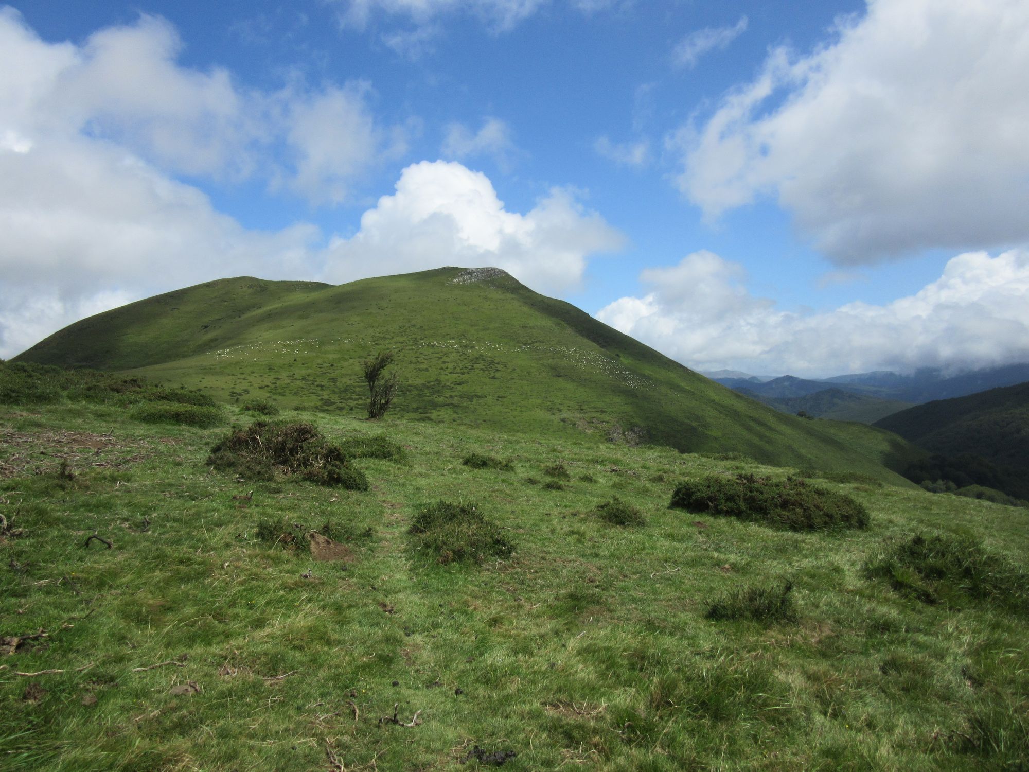
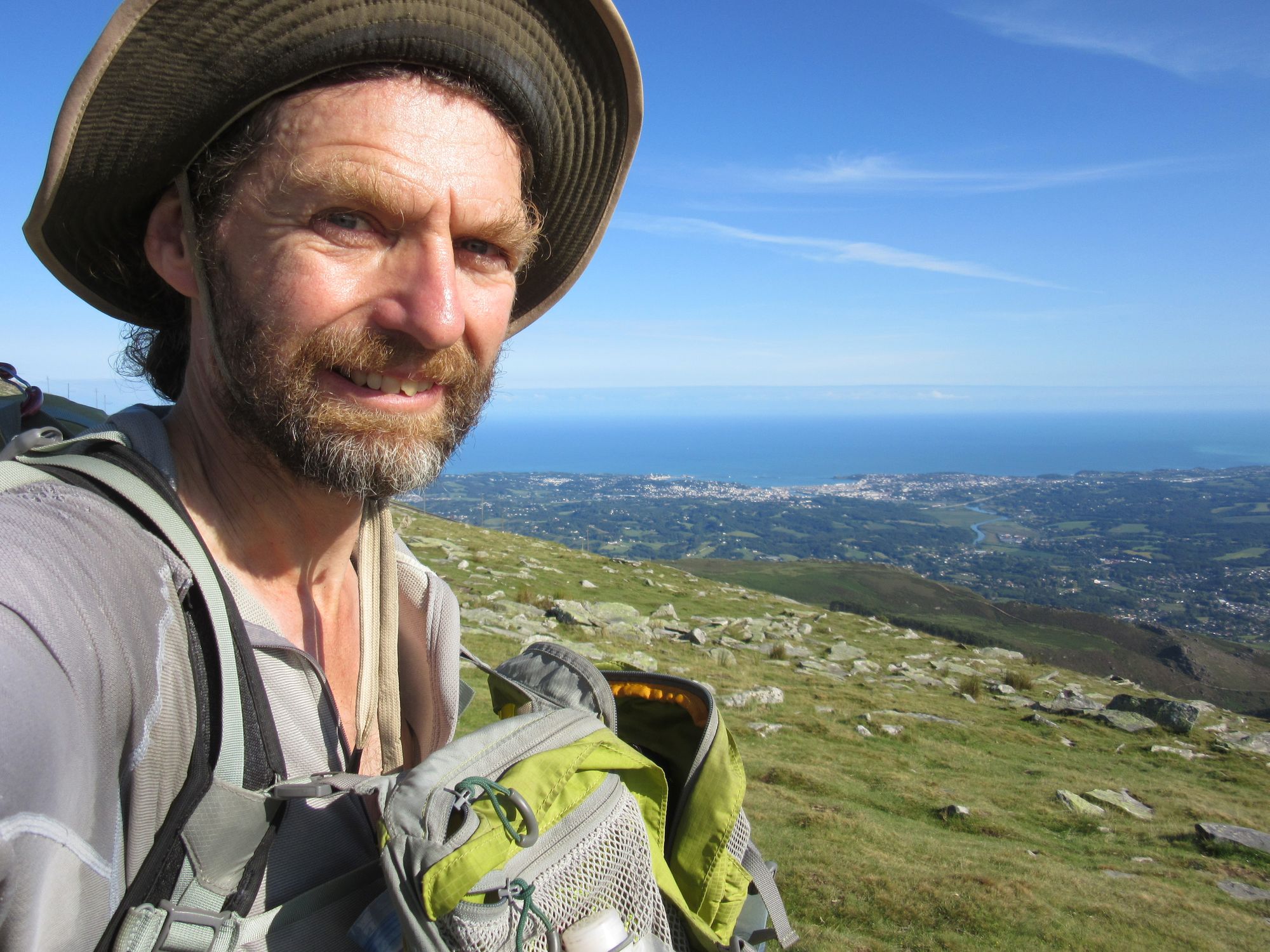
A delicious cool brisk tailwind propelled me over the lumps and bumps and up a busy Pic d'Orhy (goodbye 2000m+, that's it for this trip). I did much of this section (except the Pic) in cloud in 2018 and it was nice to get a look at what was very mysterious back then.

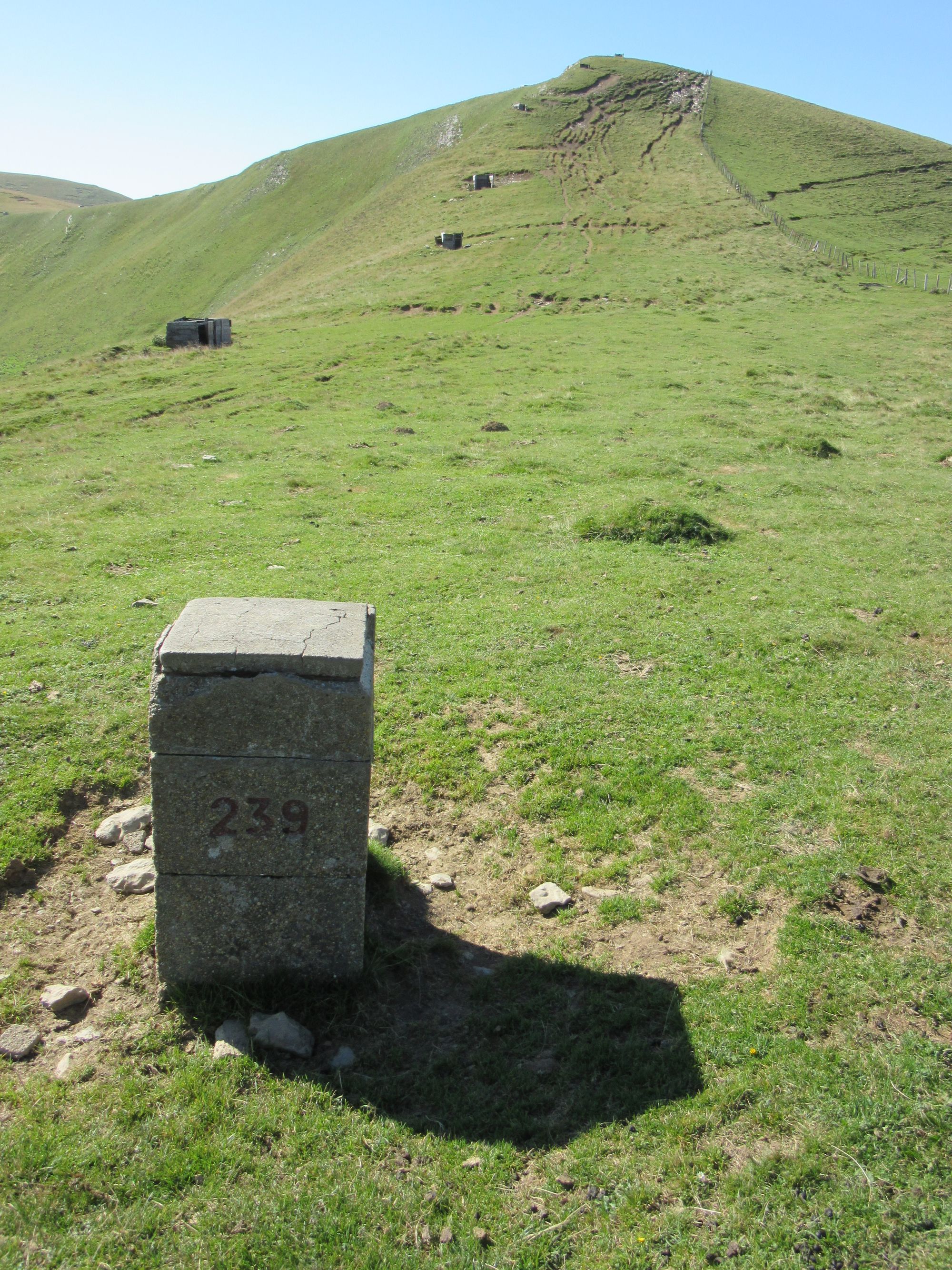
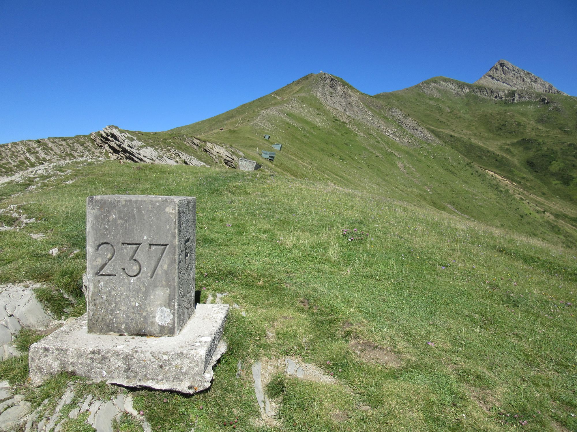
Following border markers along the ridge to to the Port de Larrau road crossing and Pic d'Orhy.
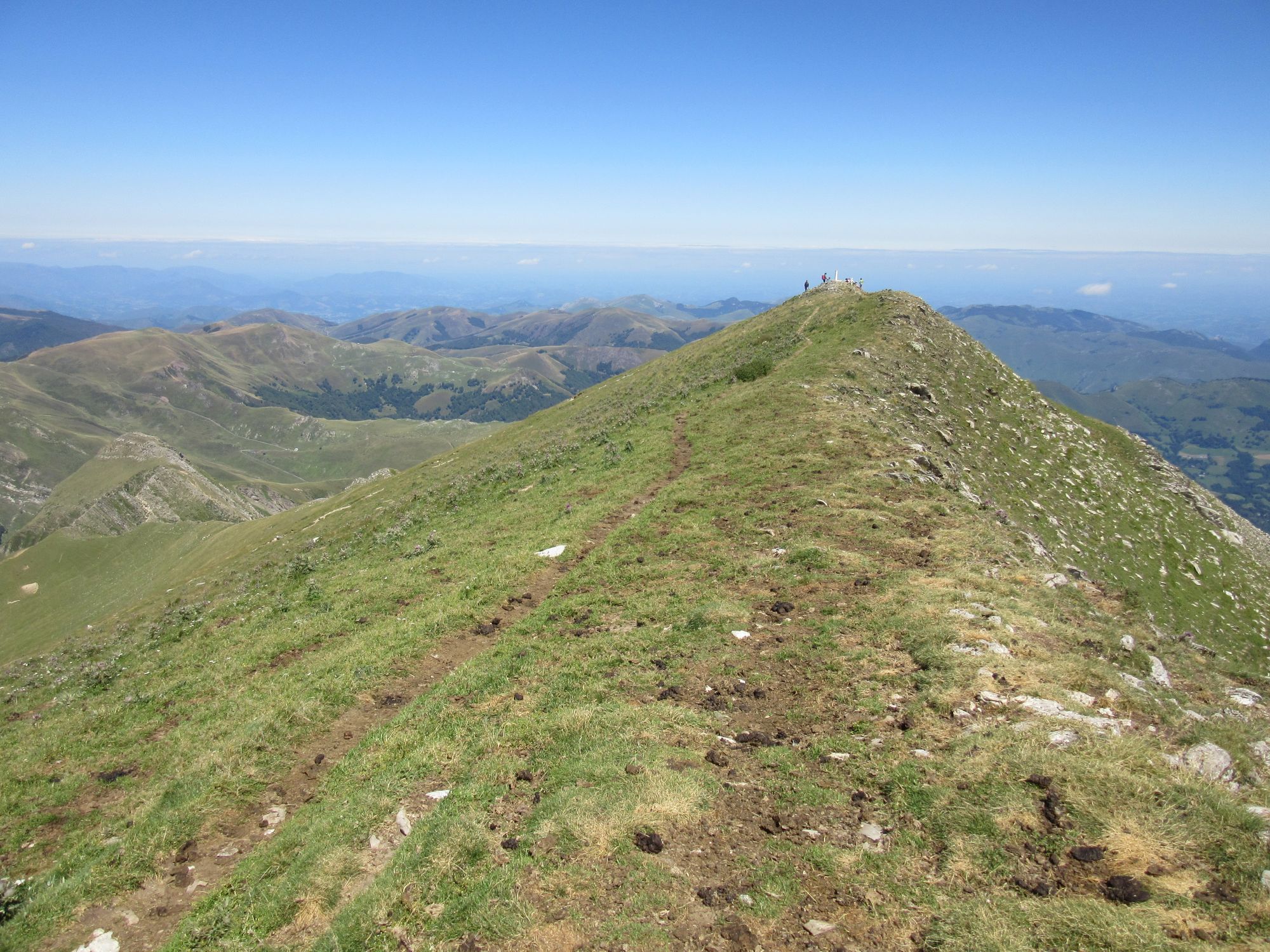
On Pic d'Orhy summit. View back west, and ahead east to Crête du Zazpignan and Crete de Millagate.
Had a long lunch stop on the Crete de Millagate (one of the "hunters"' emplacements had a nice bench in it) then along the traverse to Col Mehatze as the cloud returned. The fog rather confused me and I ended up following a yellow-blazed path down to somewhere on the D19 east of the Col Bagargui rather than straight down to it, and I had to walk up the road to the Col.
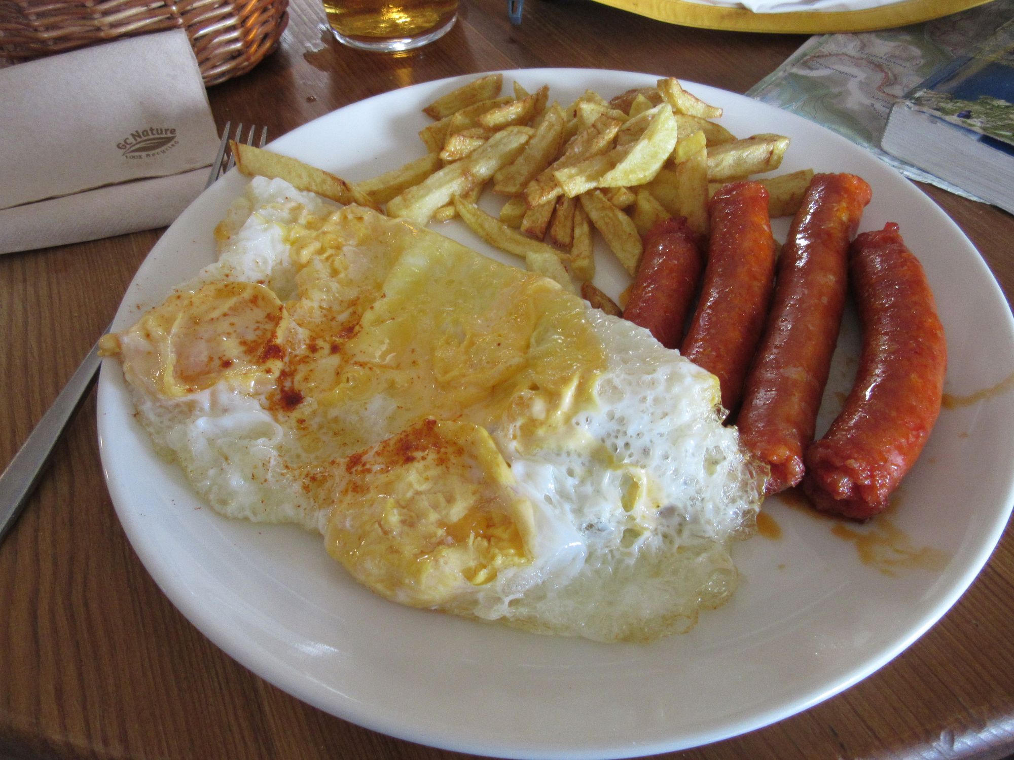
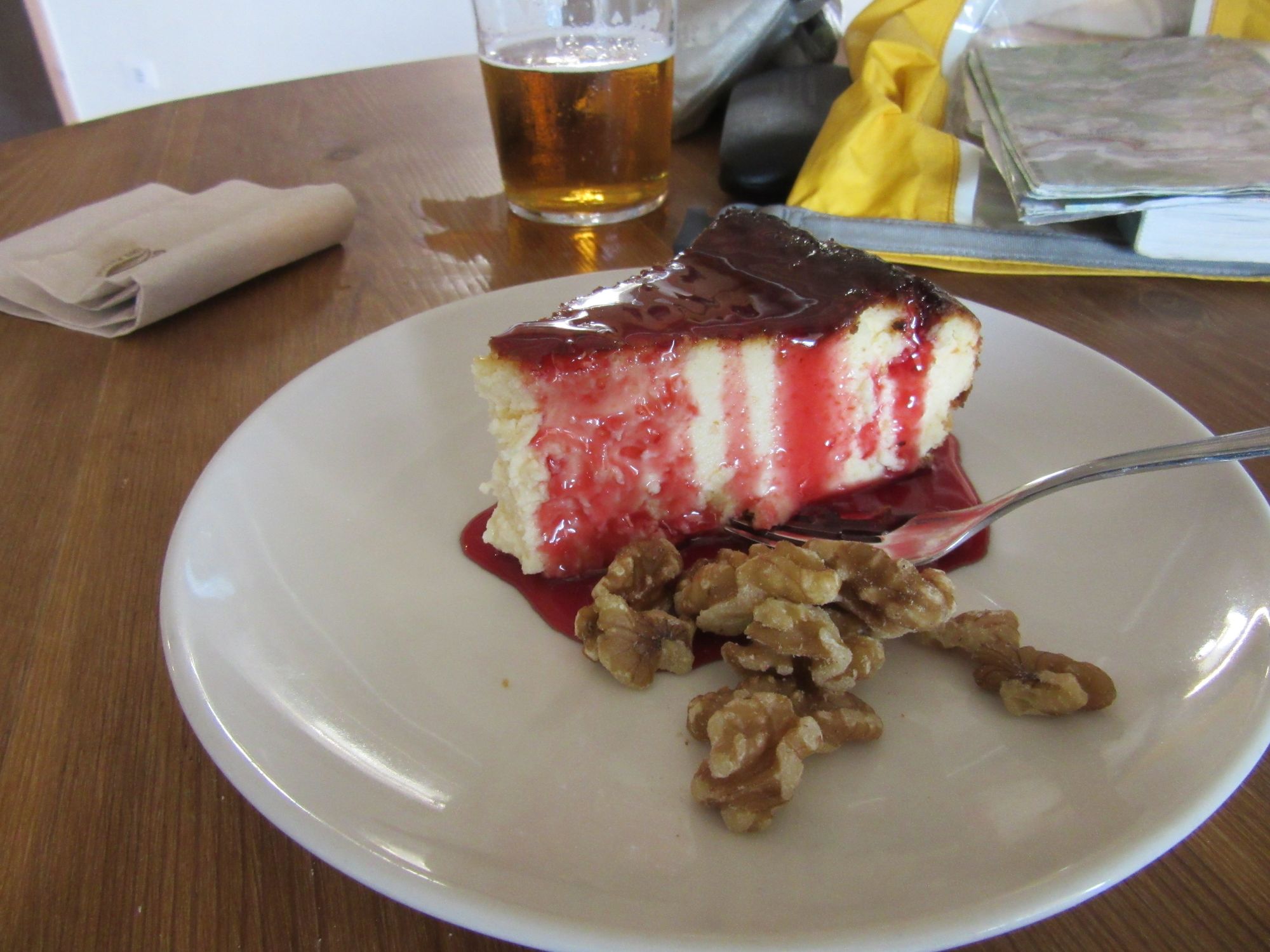
I'd had a very nice lunch in the Restaurant d'Iraty in 2018, but this evening it seemed to be more of an entertainment venue - some sort of touristy "folk night". Certainly there were some unusual instruments in use, including much use of cow bells. The menu was restricted however: assiettes of charcuterie (my pick) or cheese, and a few deserts. (The "flan" - called something fancier on the menu - was absolutely top notch!) The cultural fun more than compensated for the lack of menu choice though. There was some sort of events calendar on the door; I got the impression there's something or other going on most evenings, presumably with a similarly limited menu... HRPers wanting hot food should probably aim to hit the place lunchtime rather than the evening.
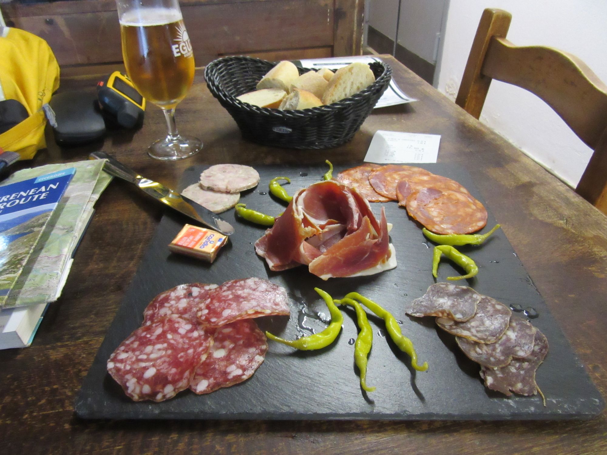
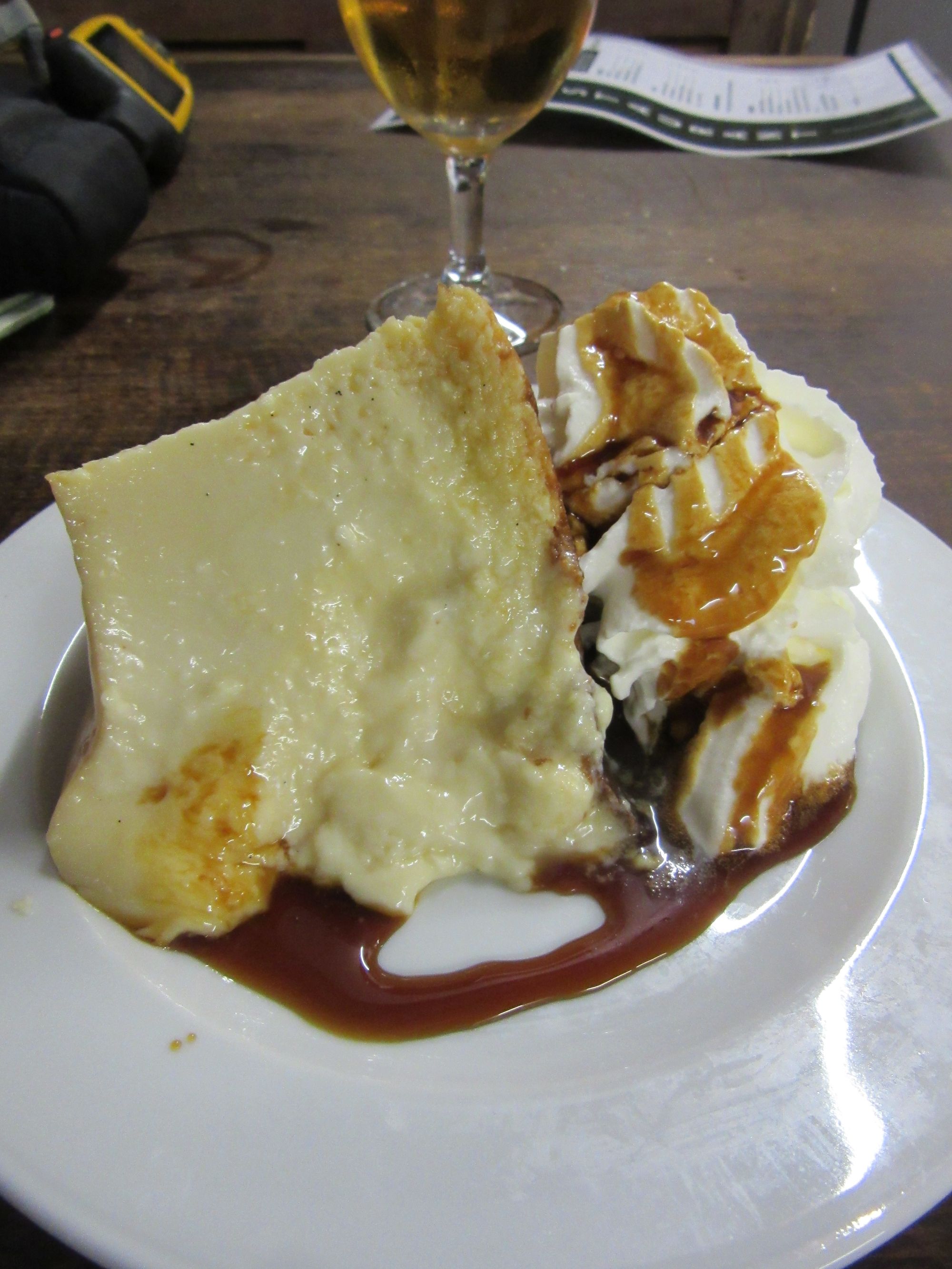
Restaurant d'Iraty evening menu. Best flan ever!
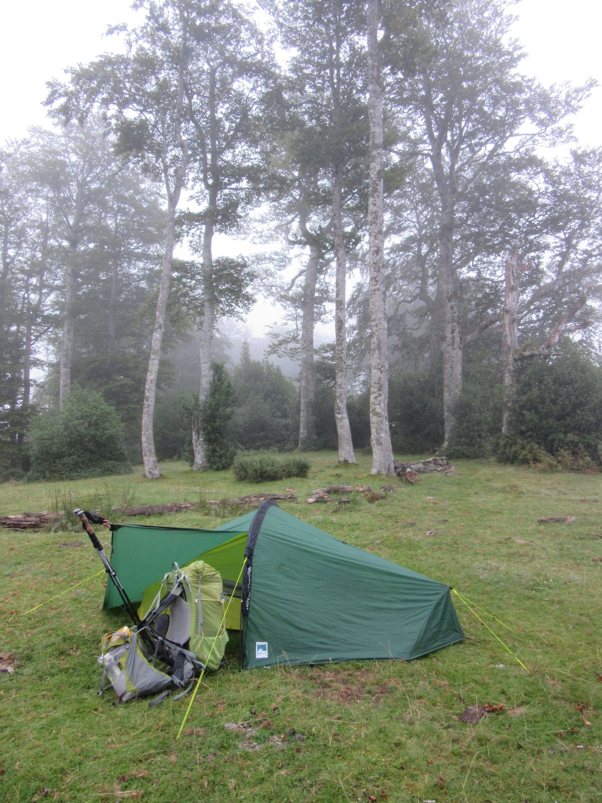
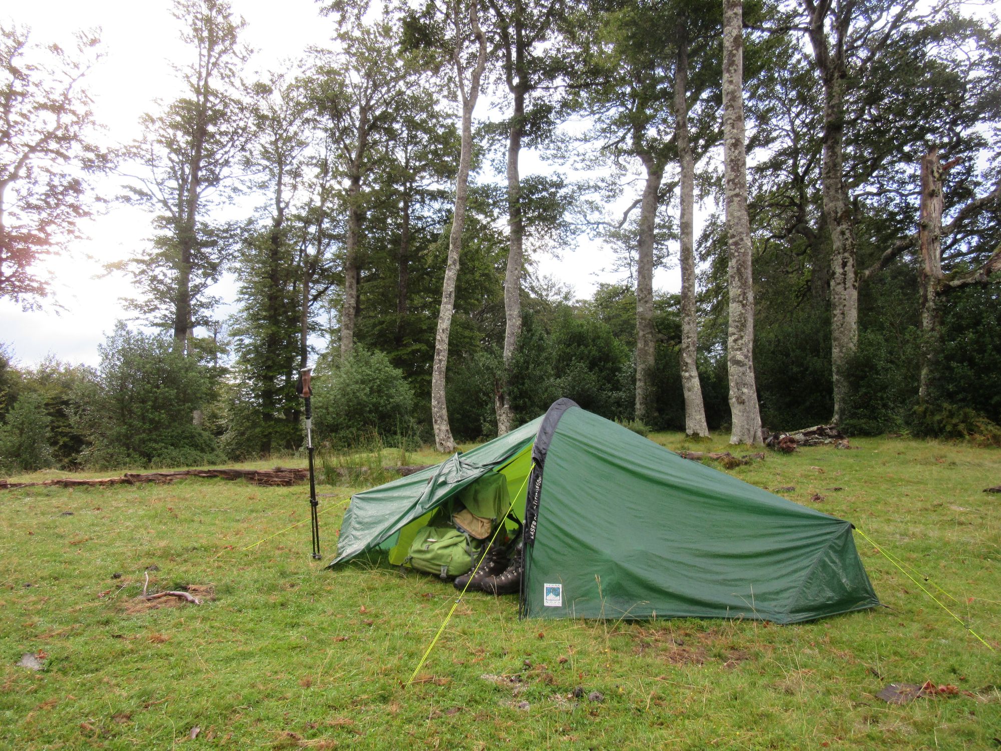
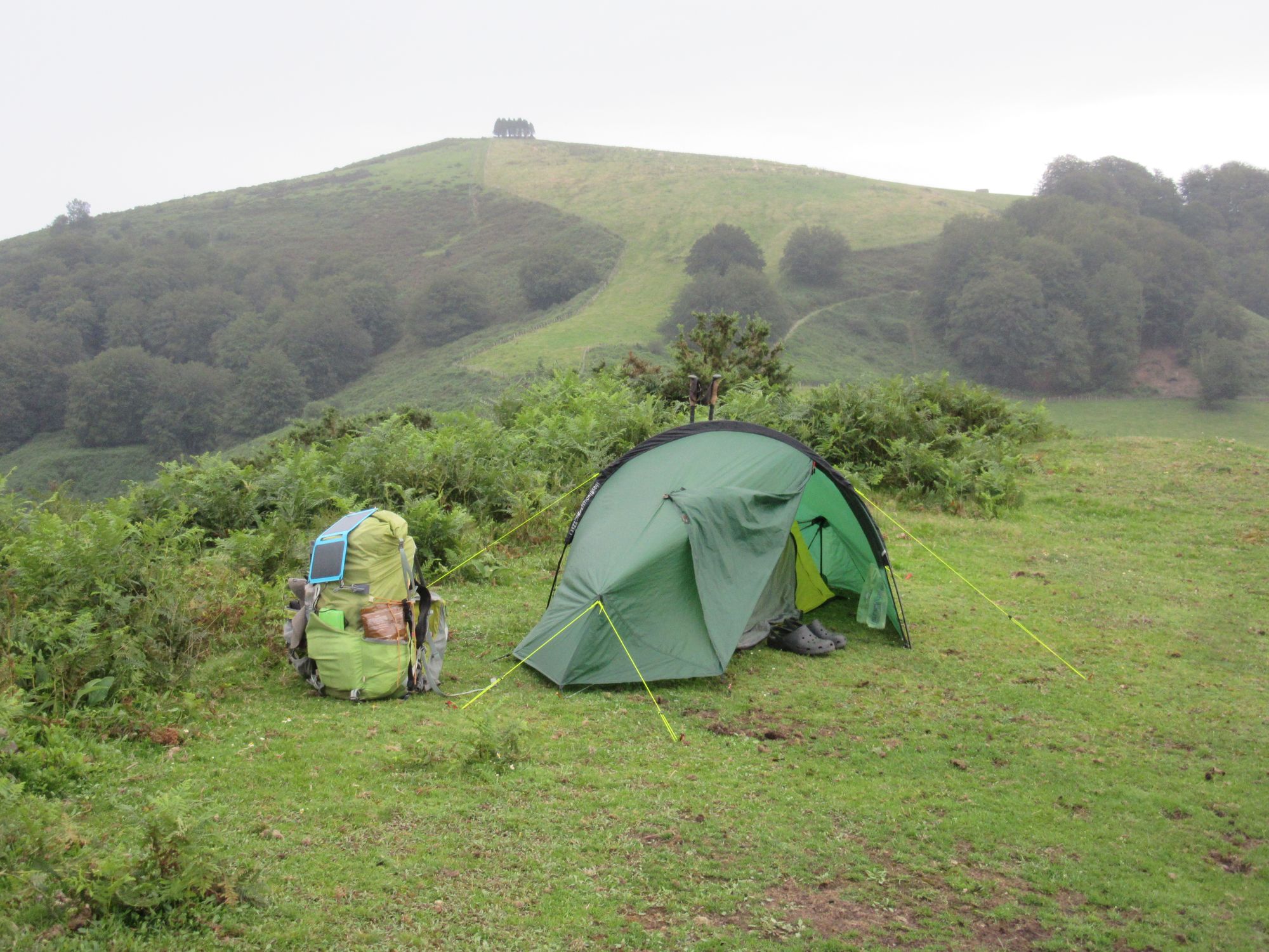
As the event seemed to wind up (and sunset crept nearer), I eventually had to admit it was time to hit the trail again. I loaded up with a couple more litres of water and headed out into the fog (to find it was now persistent drizzle - full waterproofs on!) and then not that long afterwards I threw the tent on the ground as the drizzle turned to rain somewhere on the Crete de Heguichouria. I was a little past the couple of chalets at the high point; there are some tree-screened grassy patches in the edge of the forest just before the descent to rejoin the D19 starts.
Day 36: Crete de Heguichouria to Refuge d'Azpegi
Woke to continuous rain. A brief pause tempted me out to pack the tent up, but it didn't last.
Crossed the D19 and reached the D18. Stopped in at Refuge Aterbea to use the facilities... oldschool squat holes! I didn't investigate the showers but apparently they were functional as someone was using one of them.
Chalet Pedro was just flipping their sign to "open" as I walked past (10:00) but a glance at their menu board convinced me this was a fancy high-end place and not really "second breakfast" territory. There do seem to be a couple of other restaurant/bar options on this road now north of Chalet Pedro, one between joining and leaving it, the other visible a bit further north than where the trail comes in from the east. Neither looked open when I passed by.
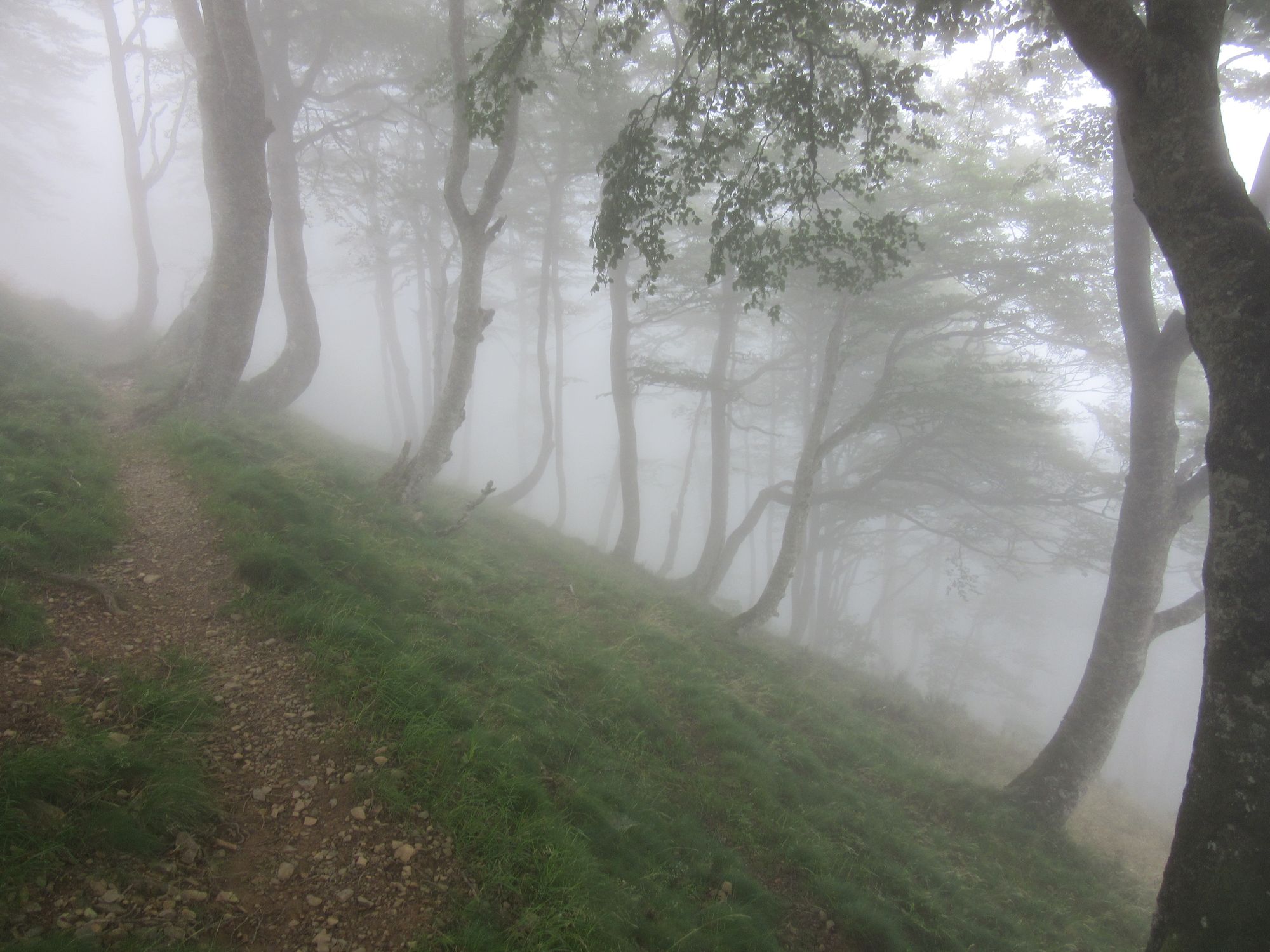
I climbed up into the cloud and - rather than the more roundabout guidebook route via Plateau d'Okabe - took the obvious shortcut directly over Okabe; there was a faint path up, but on the west side it was quite steep and pathless (so far as I could tell) so going around it is probably more appealing going west-to-east I think. I got down to Col Curutche in greatly worsening conditions (wind, rain, visibility) and decided the only sensible thing to do was to divert onto something better waymarked (ie the GR12) rather than attempt the next fairly wild HRP section, especially as I'm going backwards vs. the guidebook and the now heavy rain made me reluctant to get any electronics out or even to take my flimsy paper map out of its case to refold it to the next section needed.
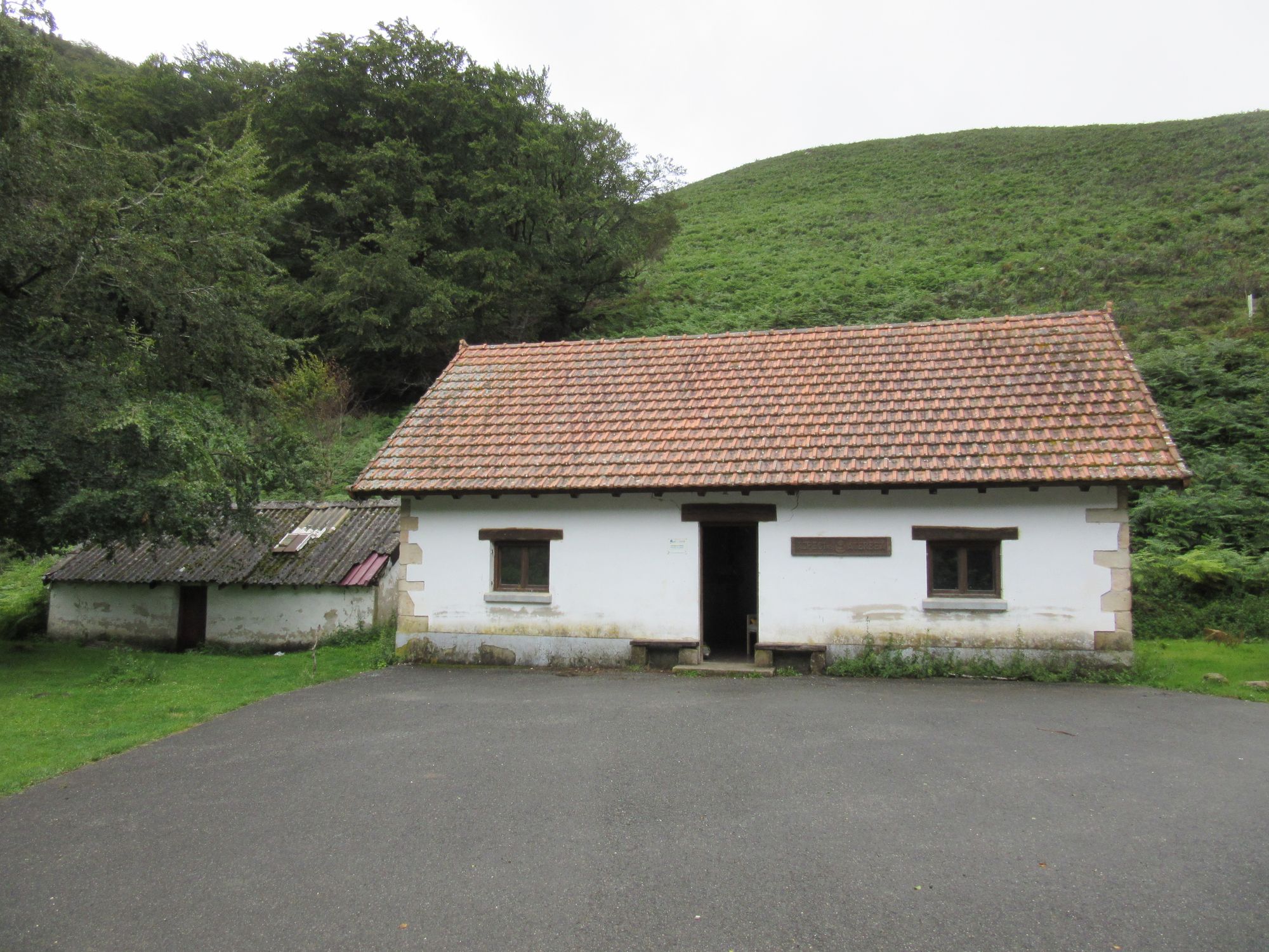
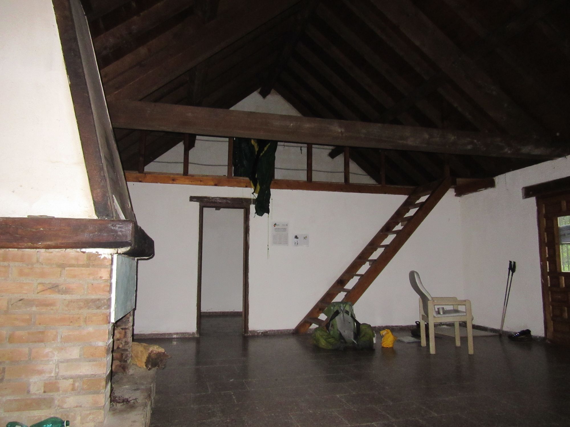
There started to be occasional pauses in the rain and even the odd burst of sun as I plodded along the GR12 without much navigation difficulty. Extremely slippery mud was the main challenge in places! I eventually got to the cavernous but rather austere Refuge d'Azpegi. It did at least have a couple of comfy armchairs but would be greatly improved with a table and benches.
Switched onto the GR12.
Refuge d'Azpegi.already
One other hiker was in already: an HRP "fastpacker" who'd got here from Hendaye in two days. But the next morning they announced they were giving up and going home and "done with long distance". This was their second HRP attempt: on their previous one they got to Parzan in ten days before throwing in the towel... "mindgame" issues apparently.
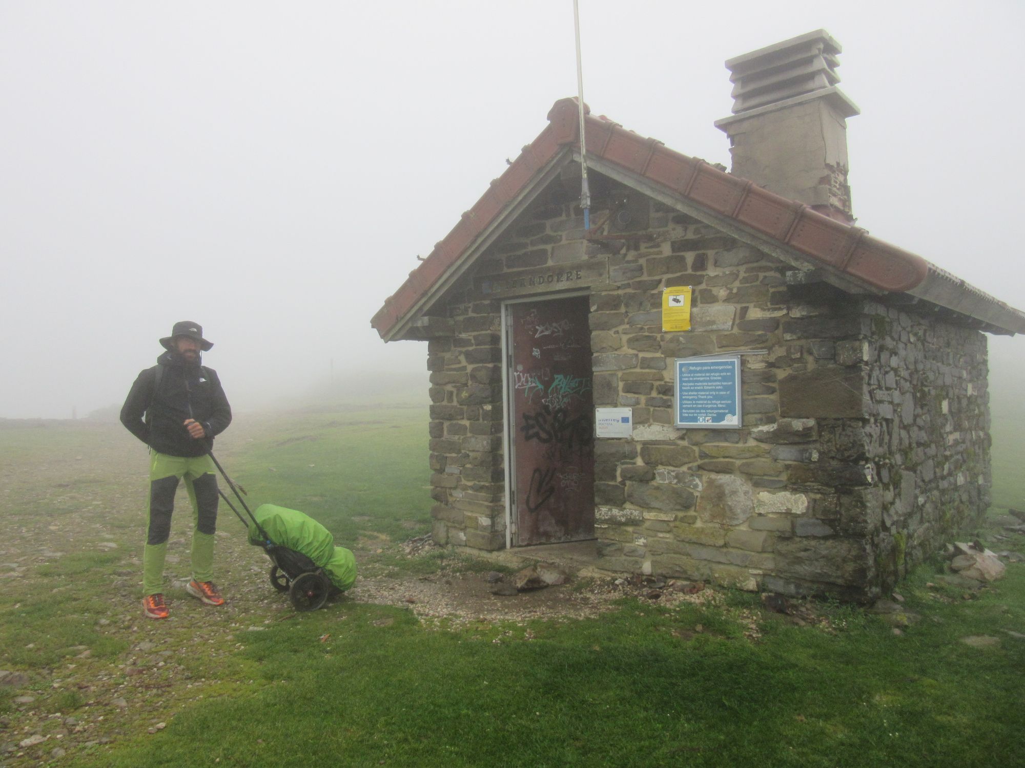
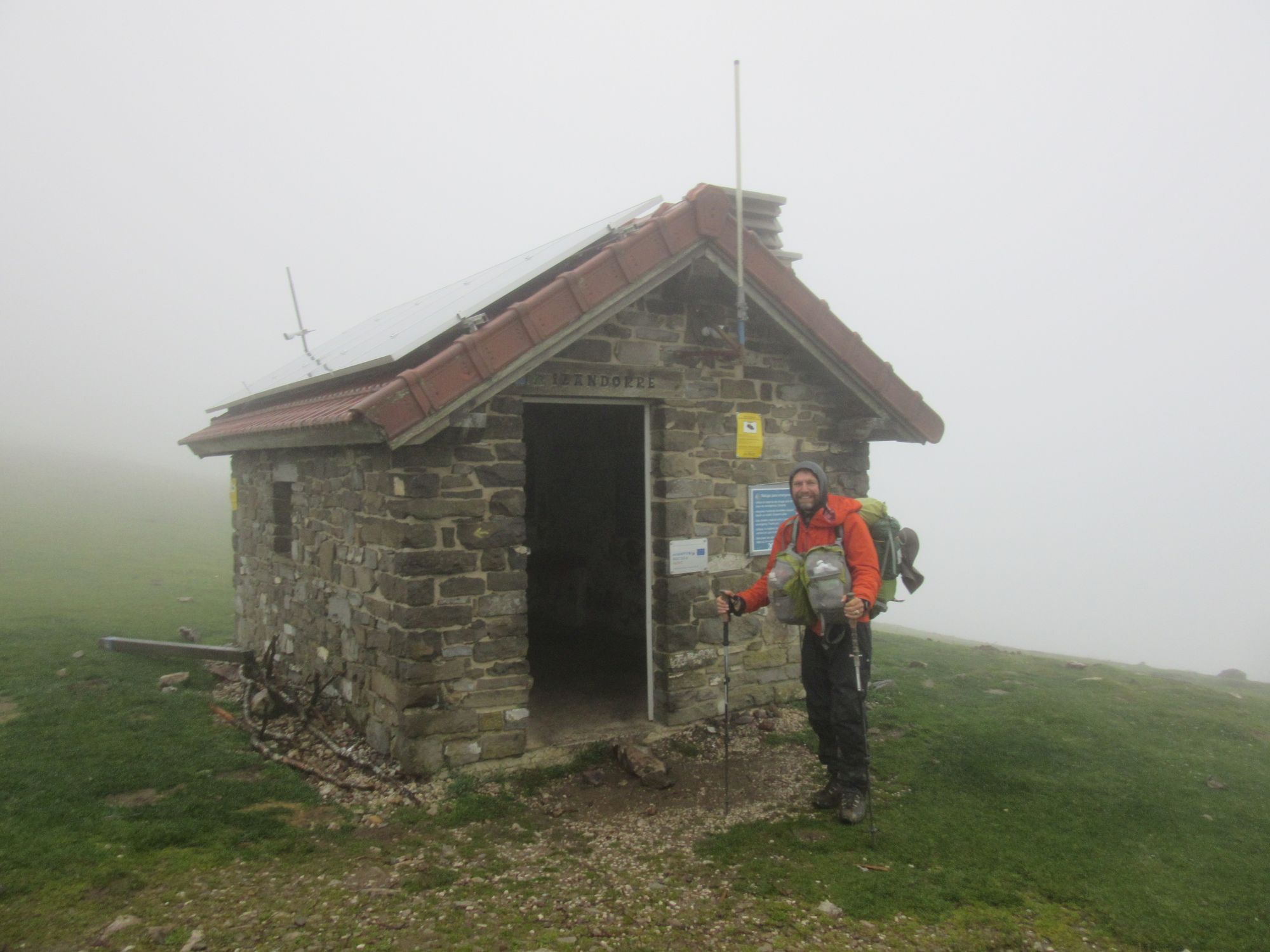
Day 37: Refuge d'Azpegi to Refugio Izandorre
It was raining outside Refuge d'Azpegi in the morning. It rained and rained varying only in degree until after midday, when brief bursts of sun started to feature between heavy showers. By now the steady stream of curious motorists poking their heads in was starting to grate, and I figured it was time to move on somewhere - anywhere - else.
It was easy enough to follow the red-and-white markers along the ridge, mostly in the cloud but with occasional glimpses of green valleys below. It was quite blustery. I didn't go that far, just to tiny little Refugio Izandorre. It seemed unlikely I'd have any chance of getting the tent up on the high ground west of the Col de Roncesvalles, so it seemed a sensible place to stop.
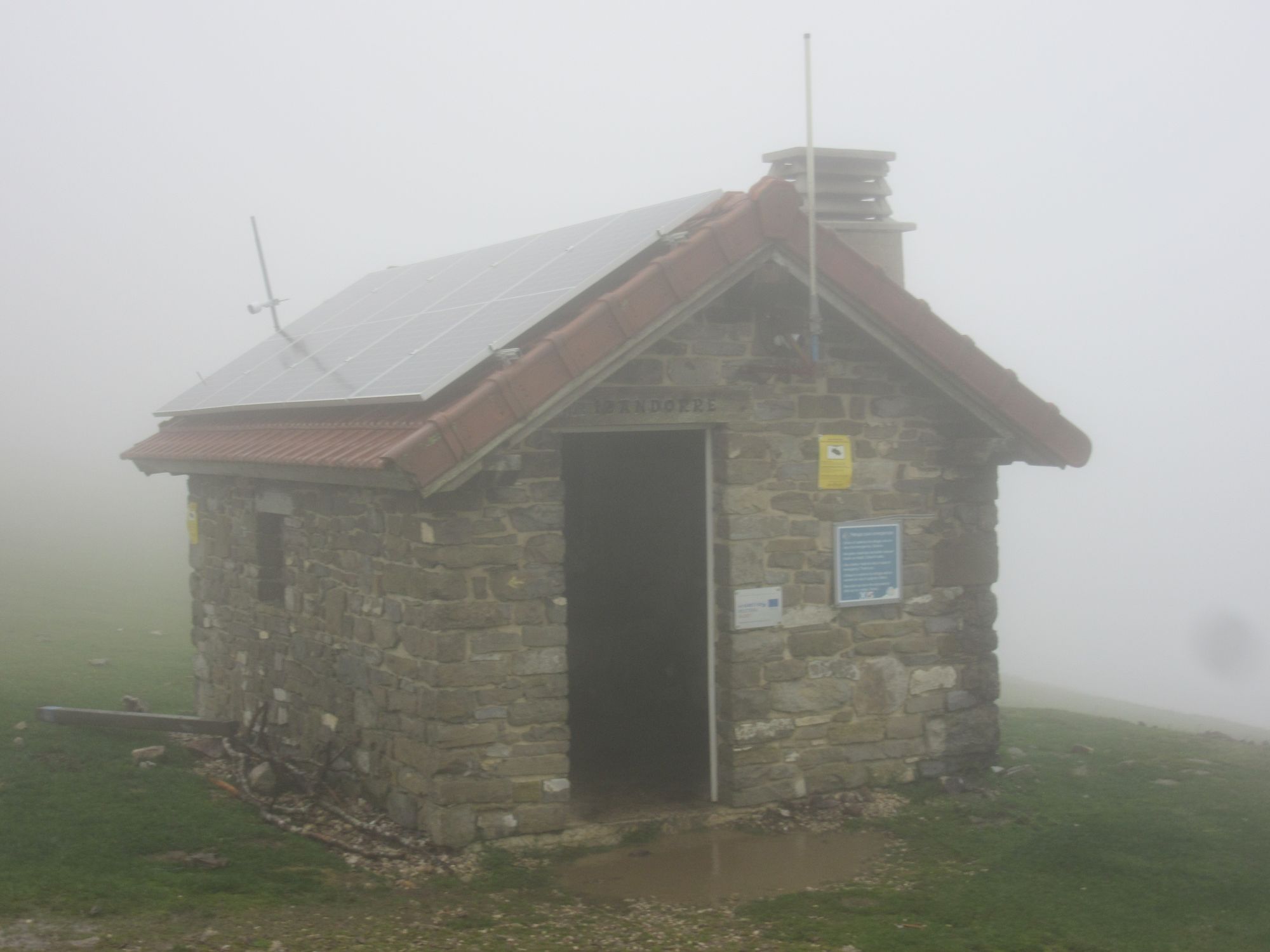
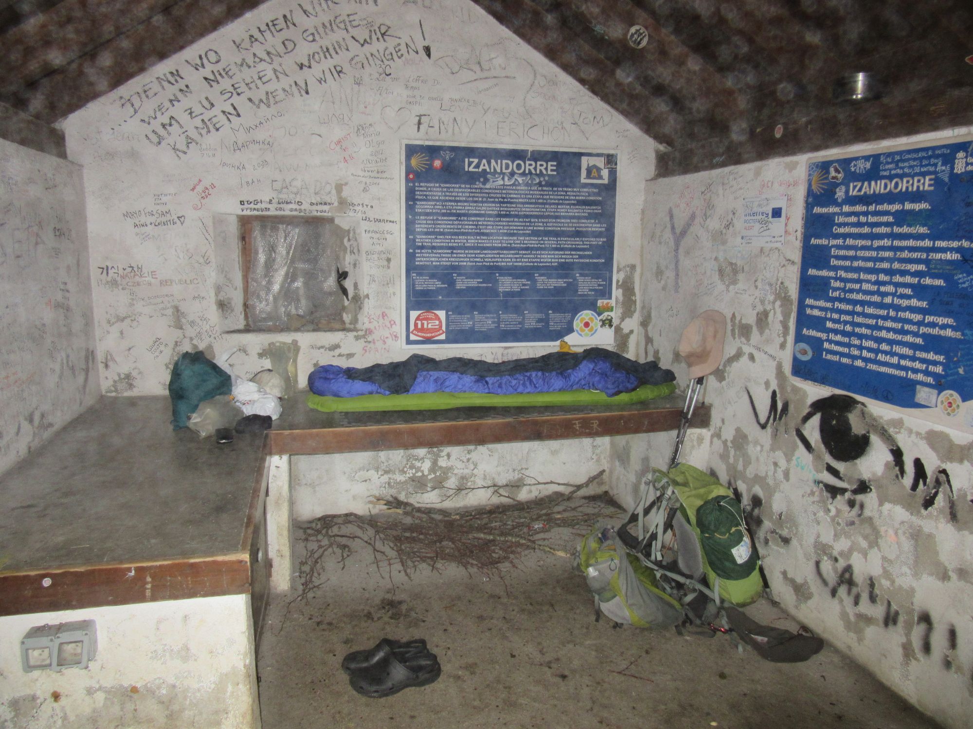
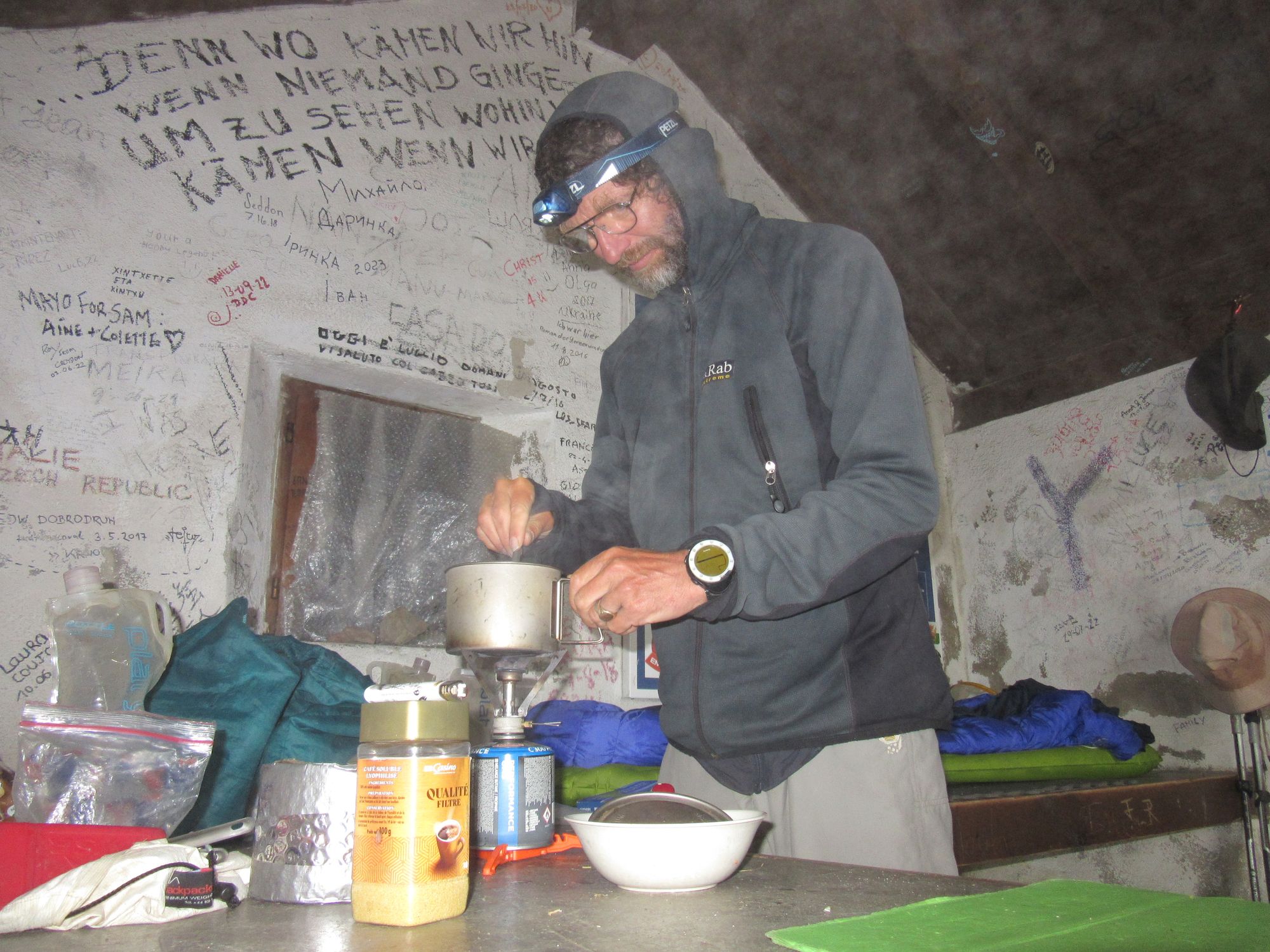
Refugio Izandorre.
The Camino de Santiago crosses the Pyrenees (and the HRP) here and there were a few pilgrims about, although apparently there were a lot more of them further north waiting for better weather before attempting a crossing. There was a bit of a drama in the Refugio with a girl wearing flip-flops and carrying her "no good" boots in a polythene bag telling other pilgrims she couldn't possibly do another hour down to Roncesvalles. The other pilgrims called the emergency services on 112, but as soon as the girl realized a likely to be expensive for her rescue was being organized - and not simply a taxi ride - she suddenly found the strength to carry on. They all left together.
There was a useful water point 400m back (for me) east along the pilgrim way: a big green water trough and a gushing pipe below it; someone had left a bottle of shampoo or shower-gel by the pipe! I thought the last poncho-clad pilgrim had gone past around half-past-seven, but at nine one towing a sort of rucksack-on-wheels appeared and stayed. He was on day sixty-something of his trek, started in Brussels. And a bit later a west-to-east HRPer turned up too.
Day 38: Refugio Izandorre to above Arizkun
The wind and rain seemed to have abated, although the clag was still present.
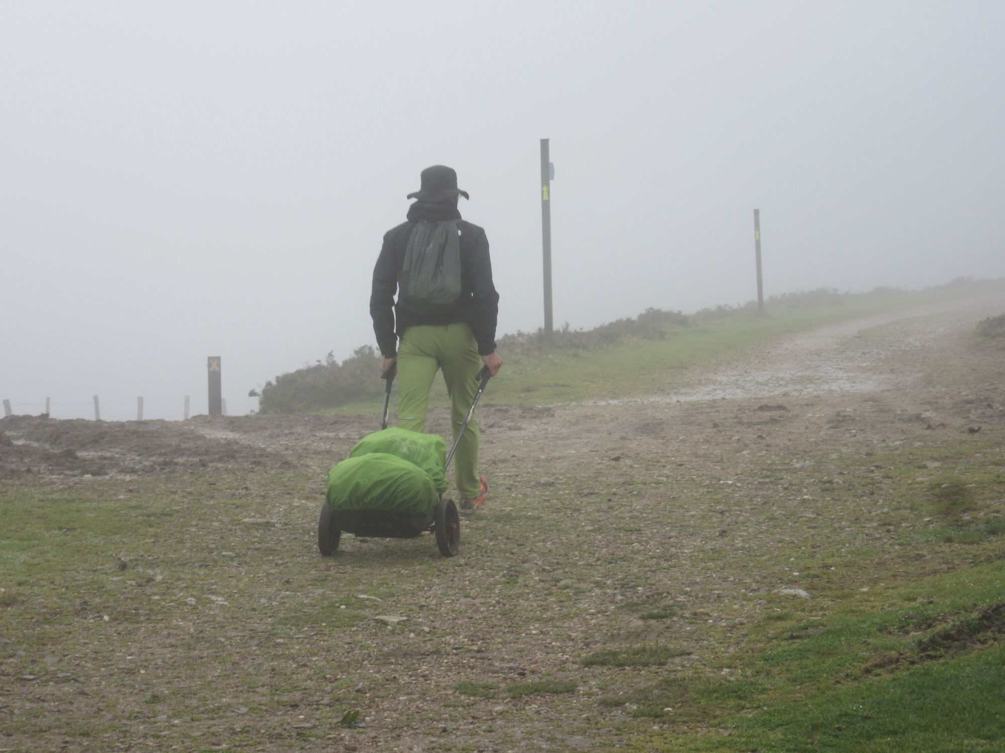
Leaving Refugio Izandorre.
I followed the GR12 a bit too far past the Col de Lindux, due to getting too distracted by the epic mud to be paying due attention to turn-offs. But I managed to rejoin the HRP route at Col de Burdincurutcheta.
Soon afterwards, I acquired a collie dog escort from a walker going the other way. I thought it was their dog, gave it a pat and a behind-the-ears scratch and that was it... it followed me as far as Errola. Presumably from one of the farms along that stretch, but I'd been getting worried it was going to follow me into Aldudes and I was going to have to try and hand it over to someone as a stray (there was no collar/tag on it). Perhaps it makes a habit of accompanying HRPers through its patch?
I managed to restrain myself in the Aldudes shop. The main things I wanted was some bread and another Camembert (if your tent smells of Camembert... then you can't smell your damp socks!) I also decided that this close to the end I'd earned myself another bottom-shelf red decanted into a Platypus bottle.
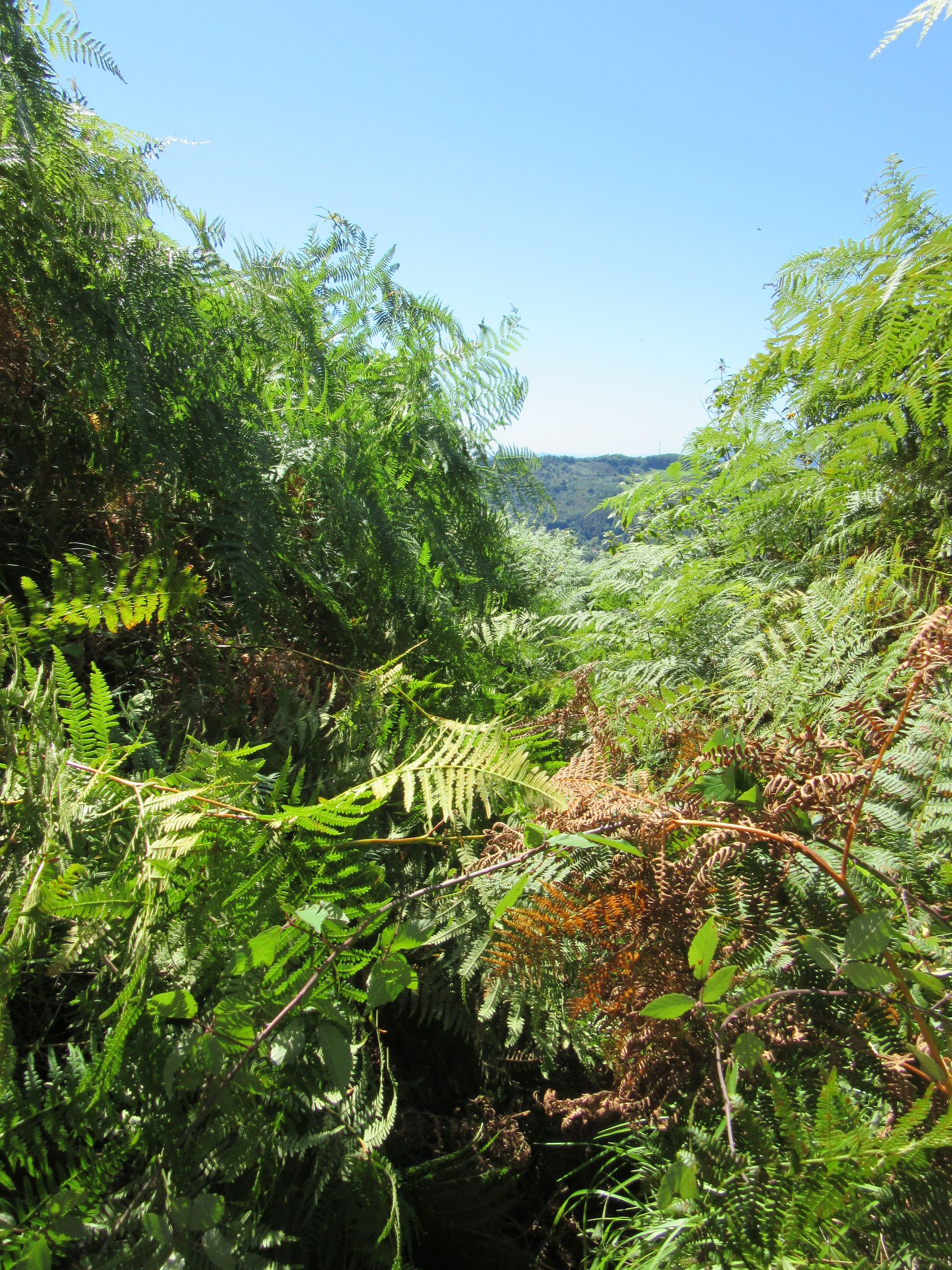
From there I hauled on up over the cols. I didn't worry too much about the exact route - I followed GRT5 for a short while - and over Burga. North of the summit it was pretty horribly overgrown; better to stay in the open forest as much as possible rather than get into thick bracken and brambles and gorse.
I wasn't too sure where I was going to end up but the increasingly apparent rain across the Arizkun valley and a handy overflowing waterspout on a concrete reservoir just above "Day 3's" "1.50 col" convinced me to camp on the lump on the other side of the Col. I'd also camped here for the second night of my 2018 west-to-east. I got the tent up just as the rain got properly started.
Camped above Arizkun.
I'd met quite a few HRPers today, including a couple of them who recognized me from the Facebook group. I was able to help out a chap with a stove who'd lost his lighter (I had 2 mini-sized spares and thought I was pretty safe to give one away now).
There were wafts of music coming up from Arizkun... some folks coming the other way mentioned there was some sort of festival going on down there. It continued all night with a final blowout surge in volume around 6 in the morning. If I'd been any nearer I doubt I'd have got much sleep.
Day 39: above Arizkun to Abri Kondendiagako Lepoa (below La Rhune)
Down into Arizkun, which did indeed show evidence of a party last night although with a surprisingly small stage considering the amount of sound being put out. Then a long haul up to Col Bagacheta in occasional drizzle. From there, following the GR11 made the reverse-to-guidebook routefinding a bit simpler, but then it was back on the HRP at Col de Nabarlatz.
Col de Lizarrieta seems to now have several busy establishments... it was tempting to stop, but I wanted to press on with the end so close now. There were a few tents up at Col de Lizuniaga, another possible stop... but a couple of eastbound folks had mentioned the old "wooden/barn cabin for hunters" under La Rhune had been refurbished and that part of the building was now an open refuge, and in any case I remembered the area around it as looking like a good bivouac spot (back in 2018 the hut was closed, and in a pretty tatty state I think).
I arrived to find the improved building includes a very nice tidy bright 4-place refuge (bunks, 2 up 2 down), with a big porch area protected from animals by a picket fence. A Dutch couple were also there, but with this being their first night on the trail they were trying out their shiny new Durston tent. A big pot-filling final couscous and chorizo and half an onion meal was washed down with the last of the Aldudes red. A mouse cooly strolled past like it owned the place; all remaining food was hung up!
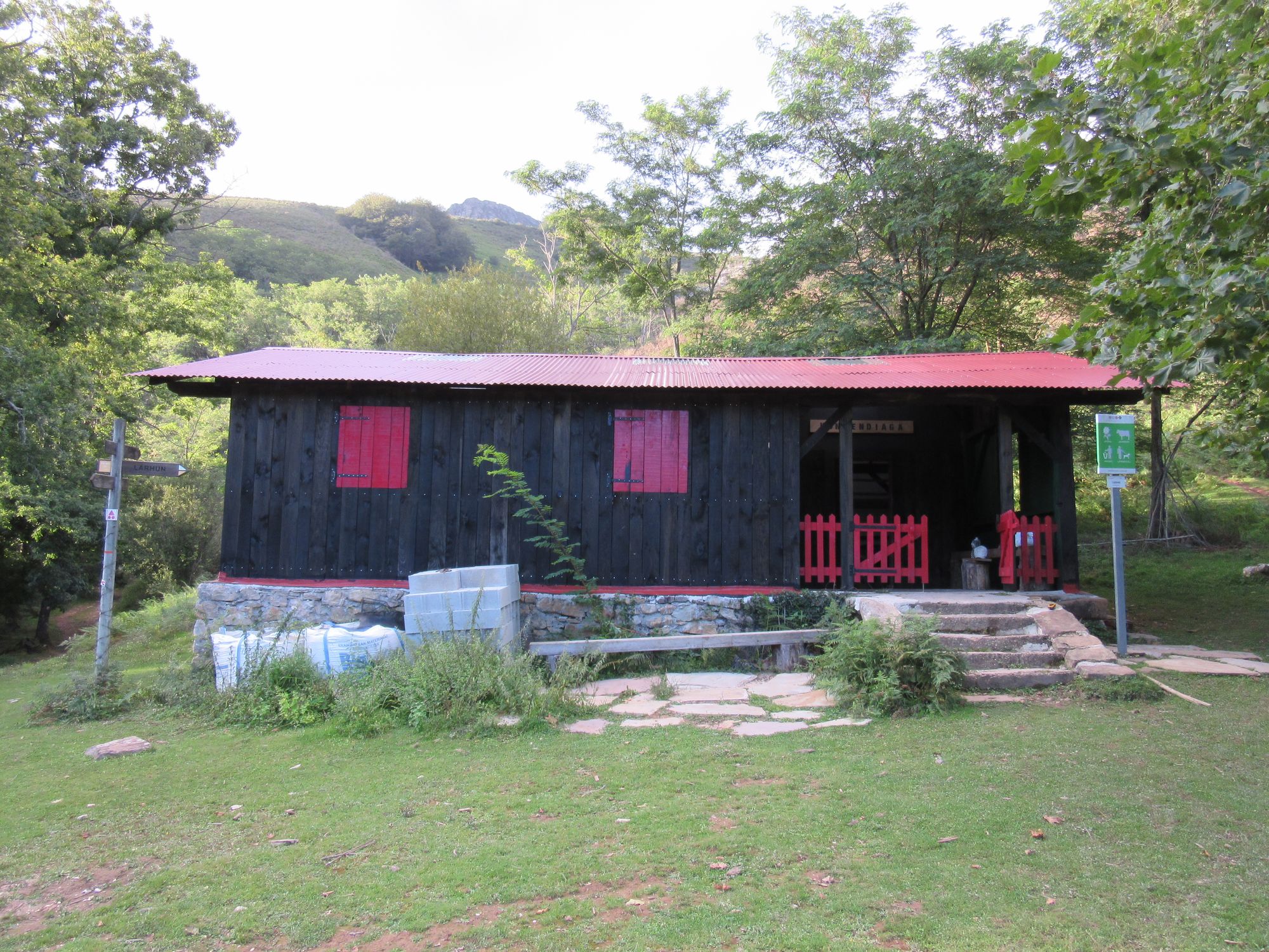
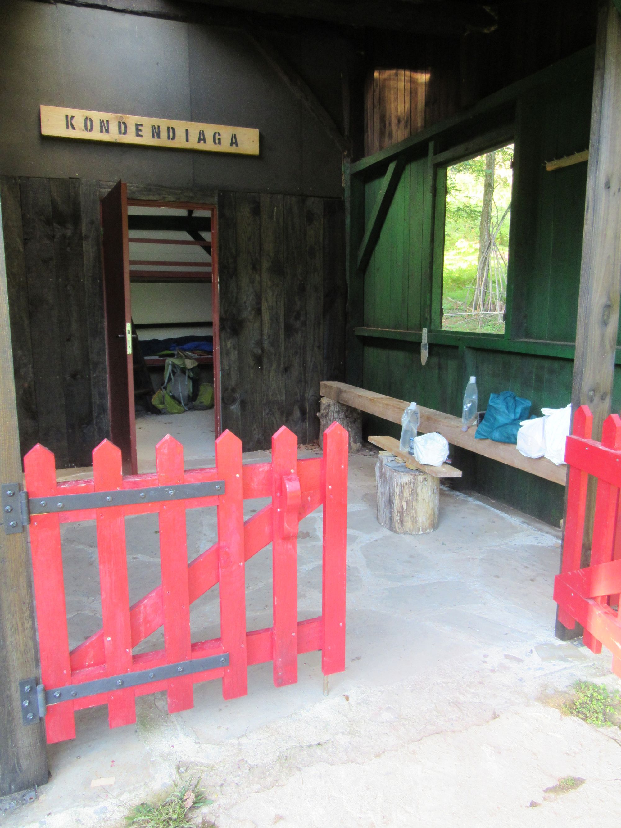
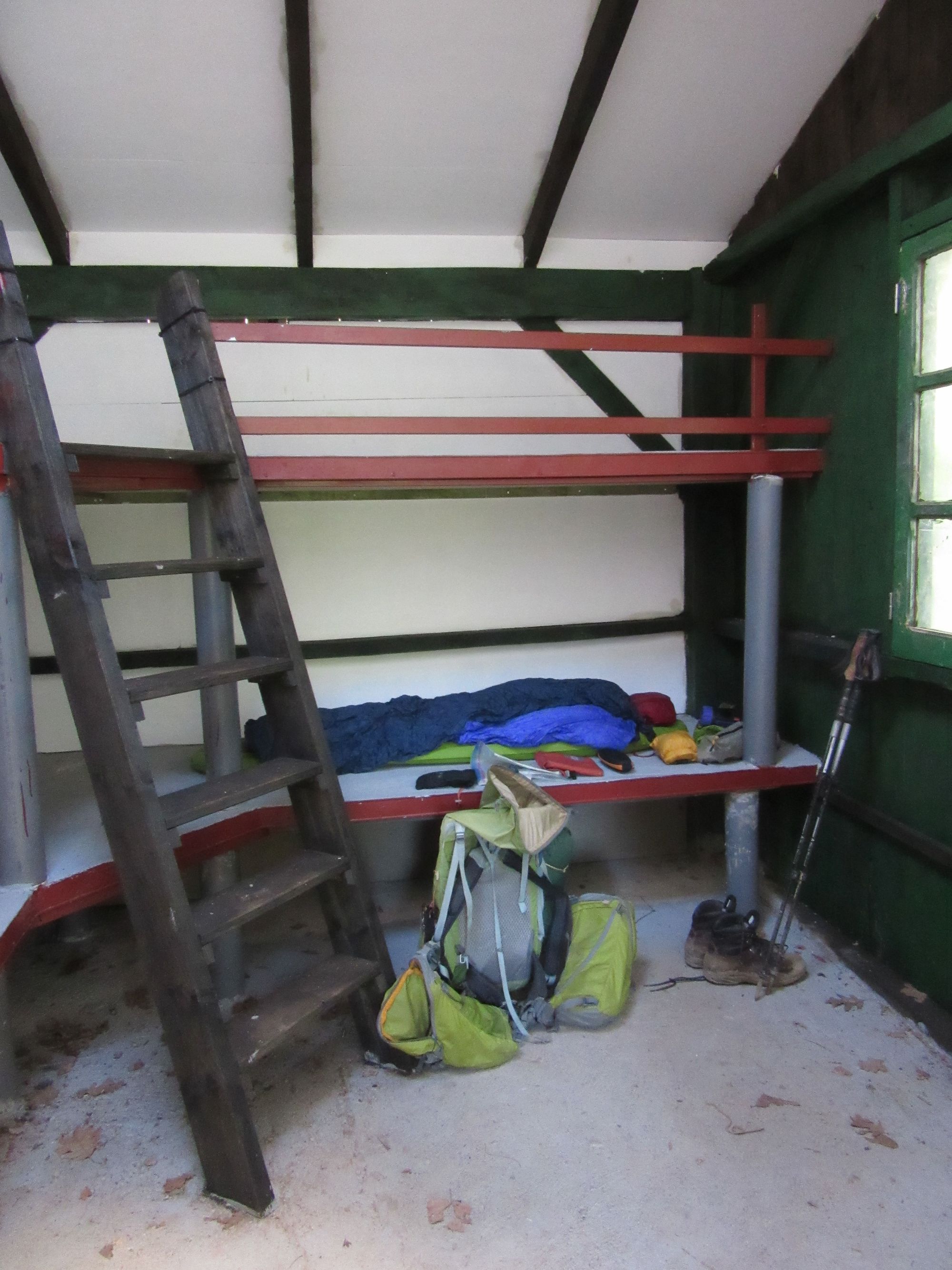
The refurbished open refuge at Abri Kondendiagako Lepoa below La Rhune.
Day 40: Abri Kondendiagako Lepoa (below La Rhune) to Hendaye
Made a swift ascent of the remaining 600m to the La Rhune summit. A clear view of the west coast, finally!
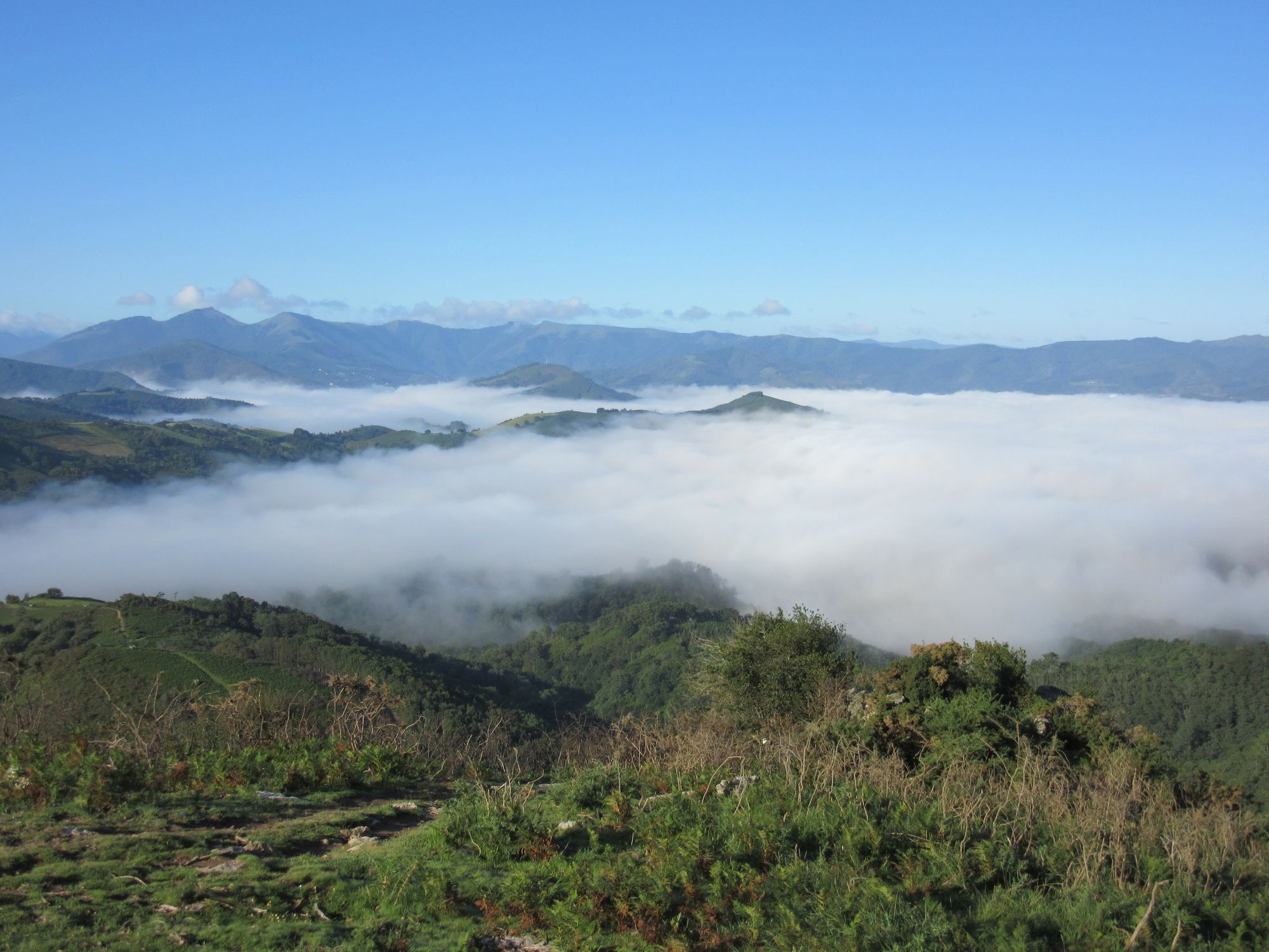
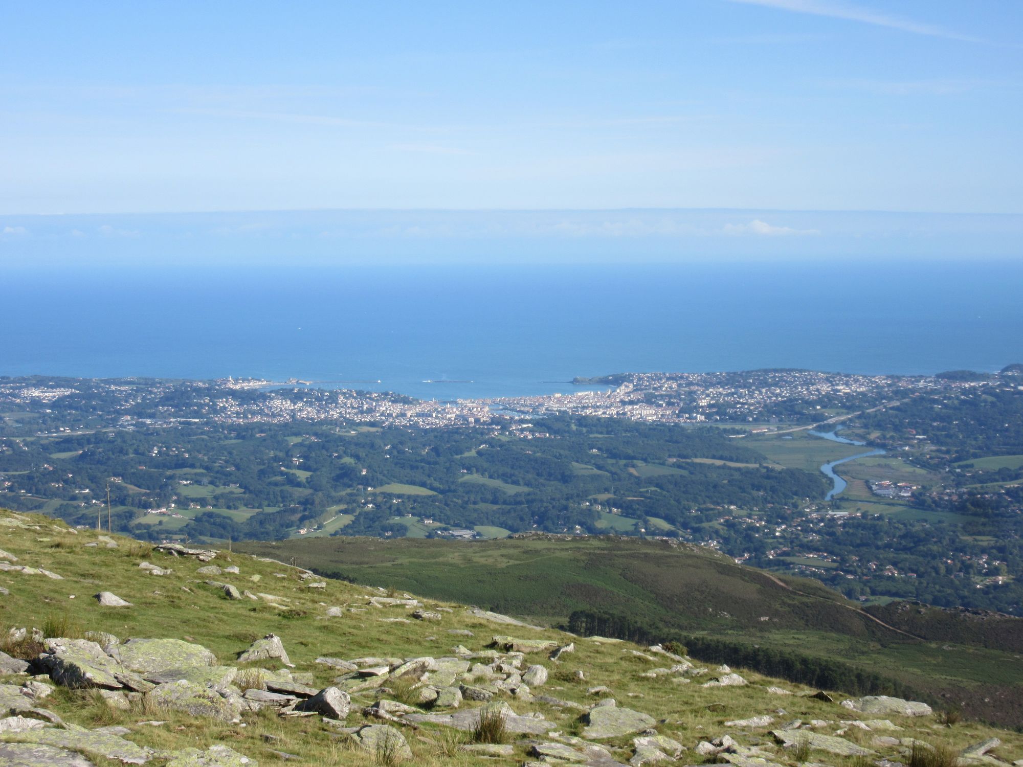
Climbing above valley fog on La Rhune, and a first view of the sea (the town is Saint-Jean-de-Luz, not Hendaye).
I went to the summit complex this time - I'd bypassed it in 2018 - it was mobbed! I hadn't actually realized there was a train running up here! For an east-to-west HRPer, it's basically the much the same OMG! impact as west-to-east folks get to experience in Le Perthus. Had a brief stop amongst the crowds for a refuge-priced coke & Basque cake, then onwards to Col d'Ibardin for lunch.
There, I went to the same place I did in 2018... "Chez Suzette", the first canopy-covered place on the left as you approach from the west. Had an excellent steak and chips, and a superb frangipane pancake.
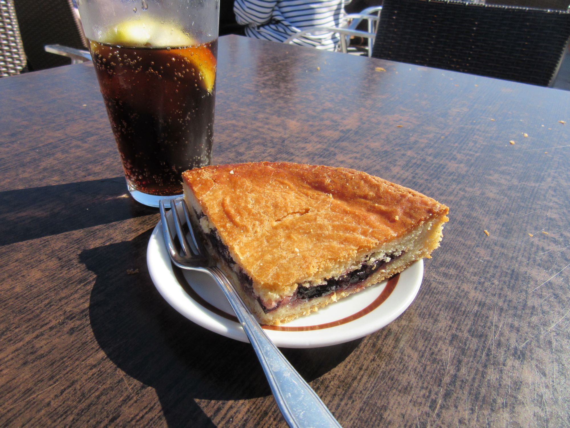
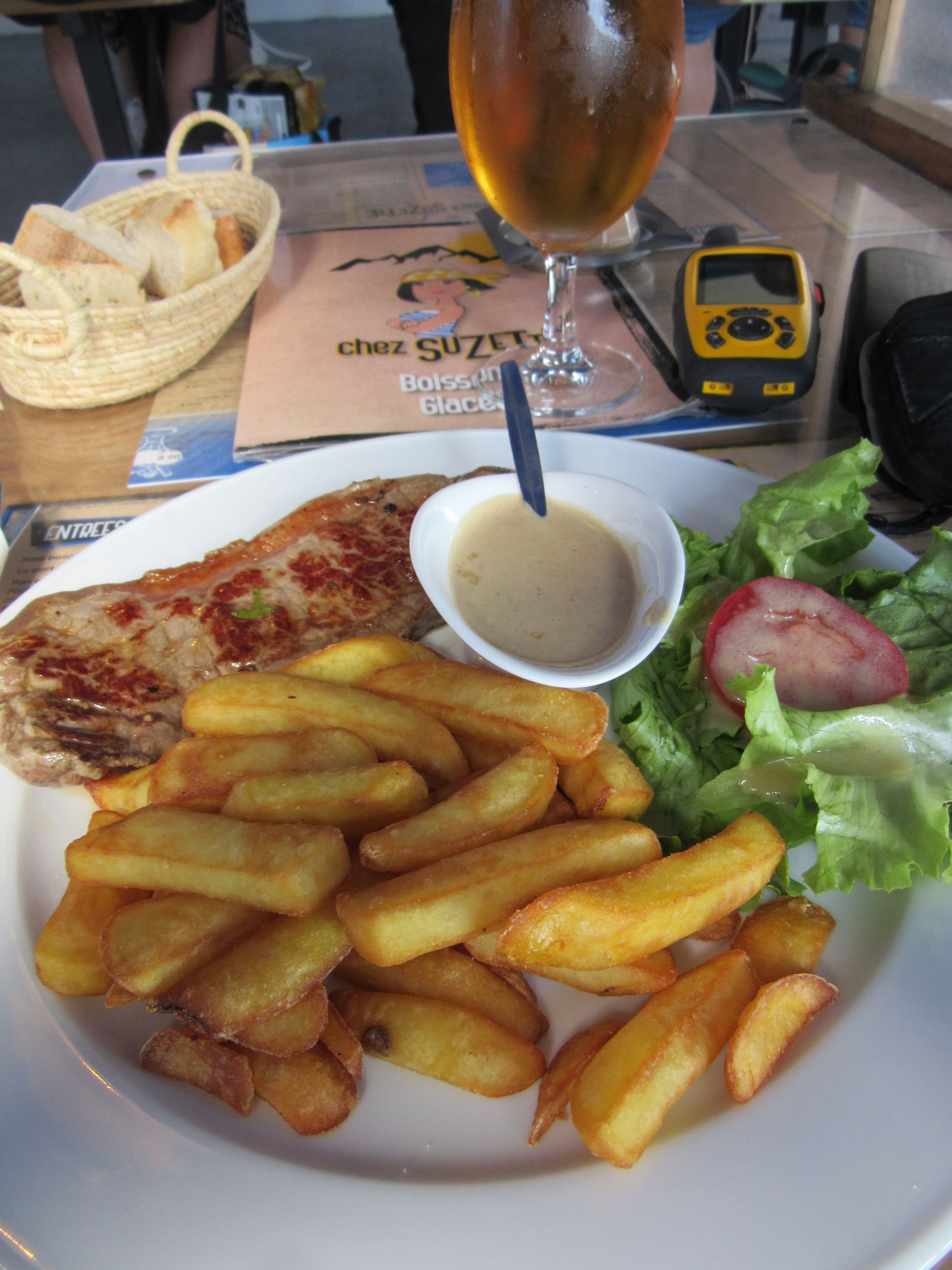
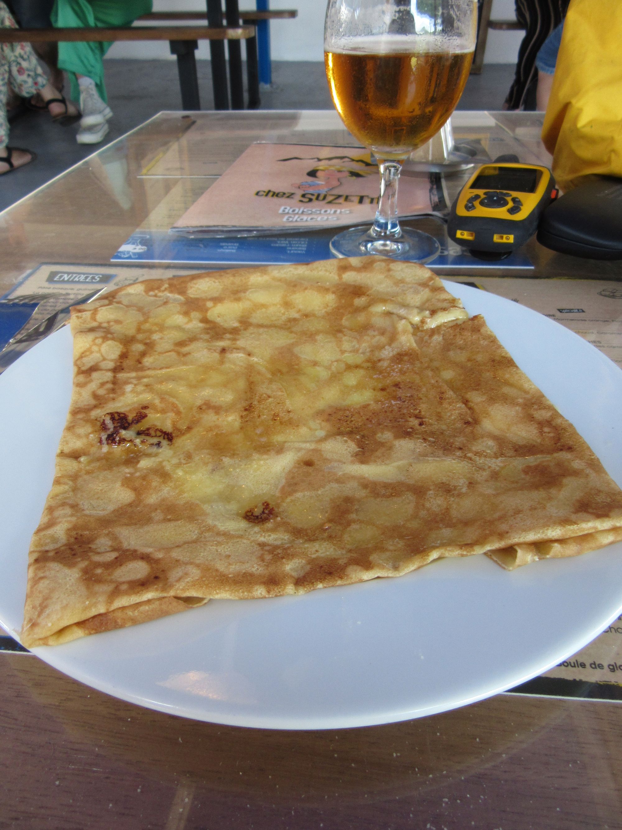
La Rhune cake, and Col d'Ibardin's "Chez Suzette" steak and frangipane pancake.
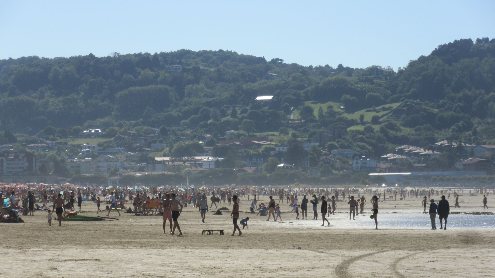
And then the march into Hendaye, into a blizzard of GR10ers coming the other way. There was a brief final departure from the GR10 for the traverse "on the slopes of the Choldokogagna" (there's certainly a path, but horrendously overgrown with bracken and brambles) and then back on the GR10 into Hendaye.
When I'd left on my west-to-east HRP early one morning in 2018, it was grey and drizzly and the beach was deserted. Now... a sunny afternoon in peak holiday season... so many people!
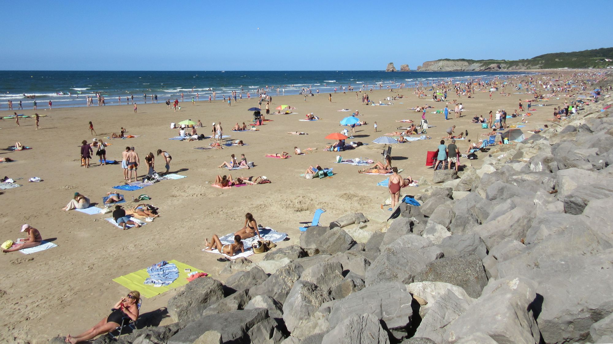
I let some Atlantic waves wash over my dusty boots and slurped an Aperol Spritz (2018's completion drink too) in the Bar de la Plage. And then fled over the border to the accommodation I'd arranged in Irun.
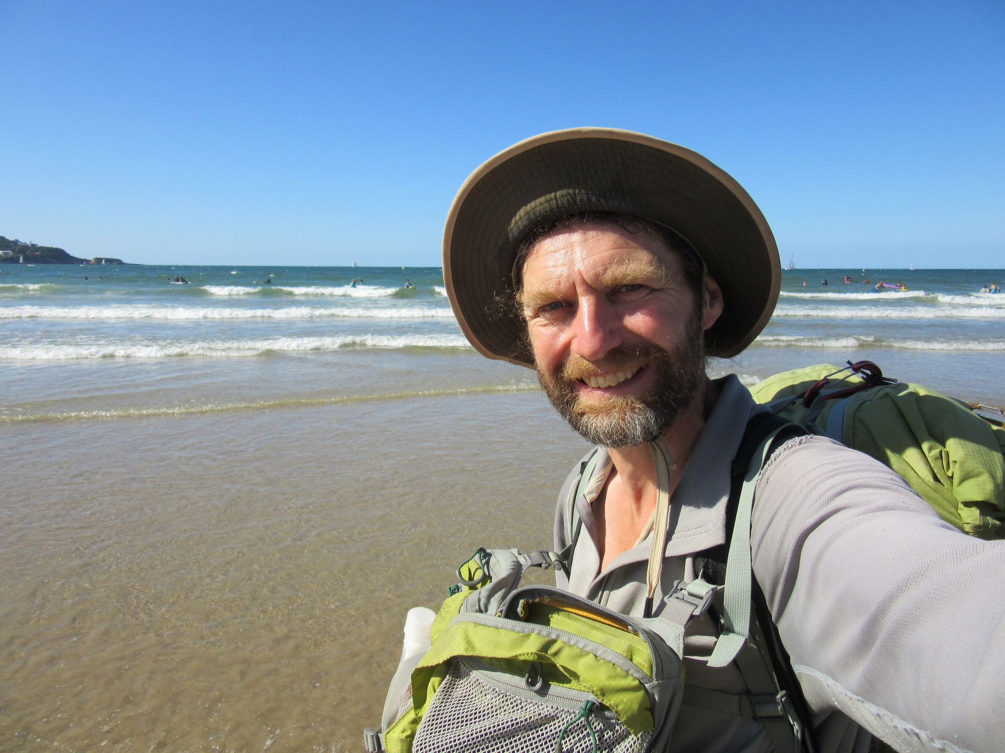
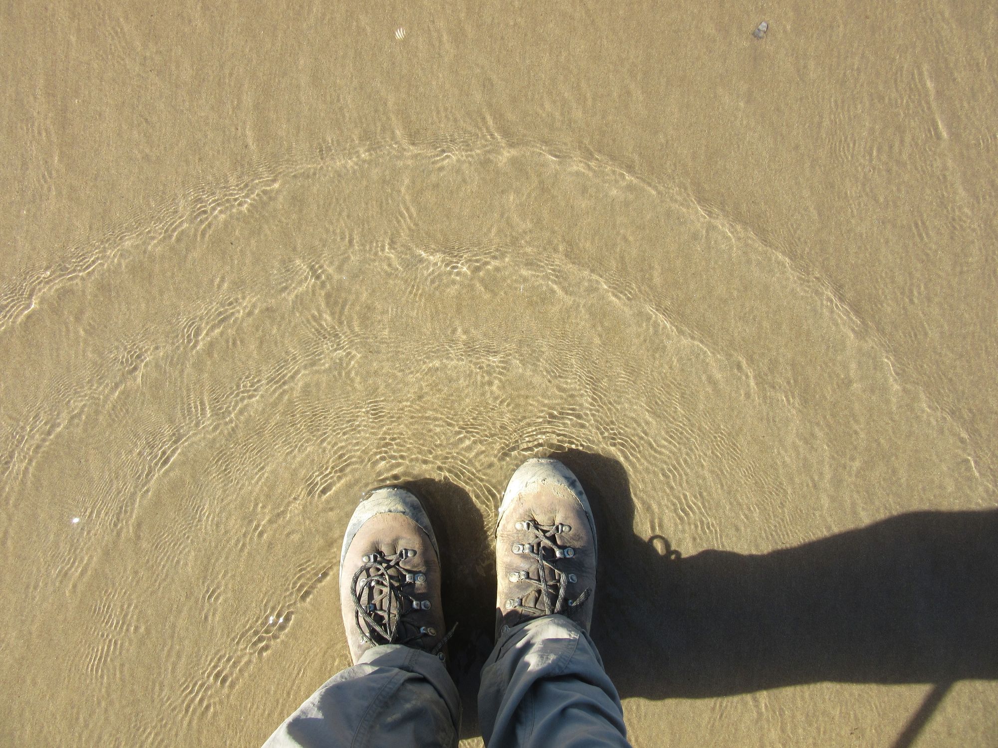
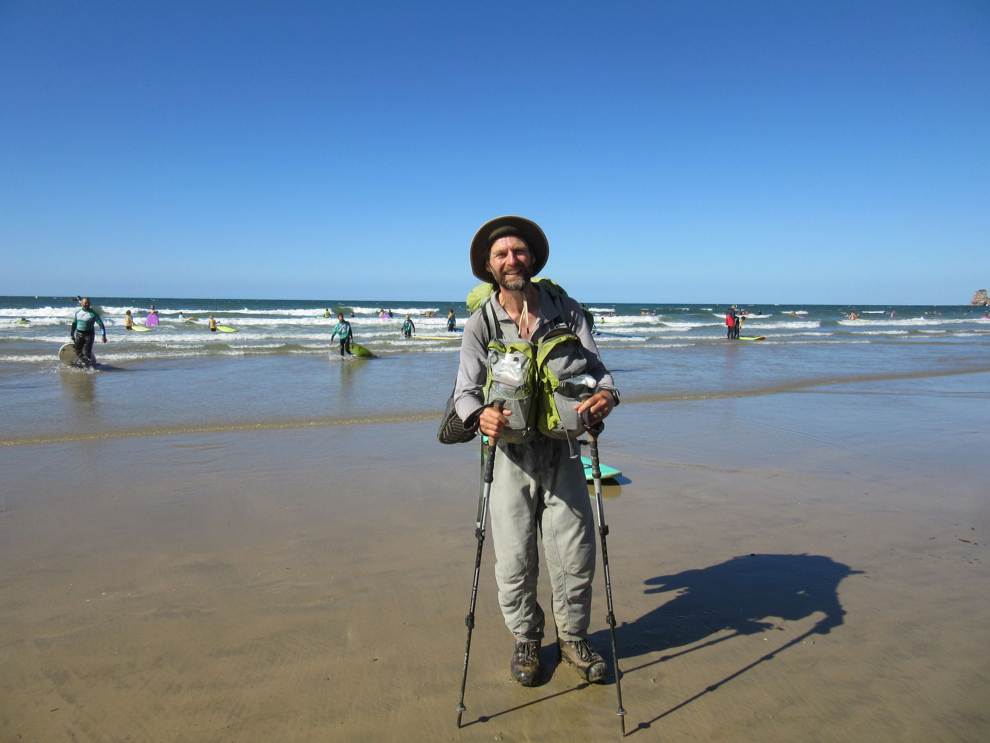
Journey's end at Hendaye beach.
And so concludes a fantastic 39 nights and 40 days on the HRP. 28 nights in the tent, 8 in an unmanned refuge, 2 in a gite/pension, 1 in a cave.
See my HRP page for more general information and links to the write-ups of other stages.