HRP 2023 east-to-west: stage 4 - Gavarnie to Lescun
A toast to Sir Henry Russell and his most excellent accommodation.
Day 27: Gavarnie to "Grottes Bellevue"
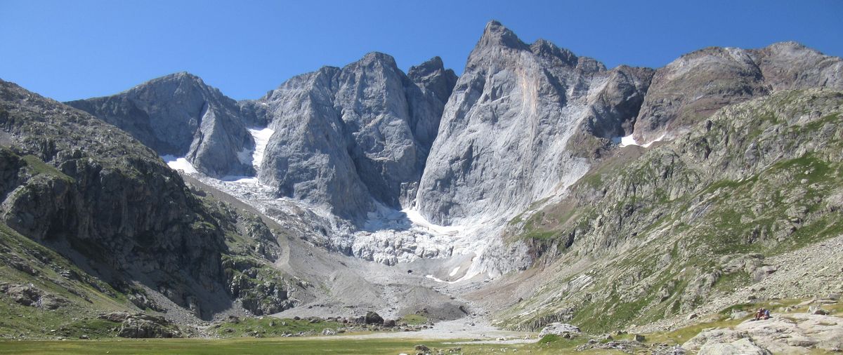
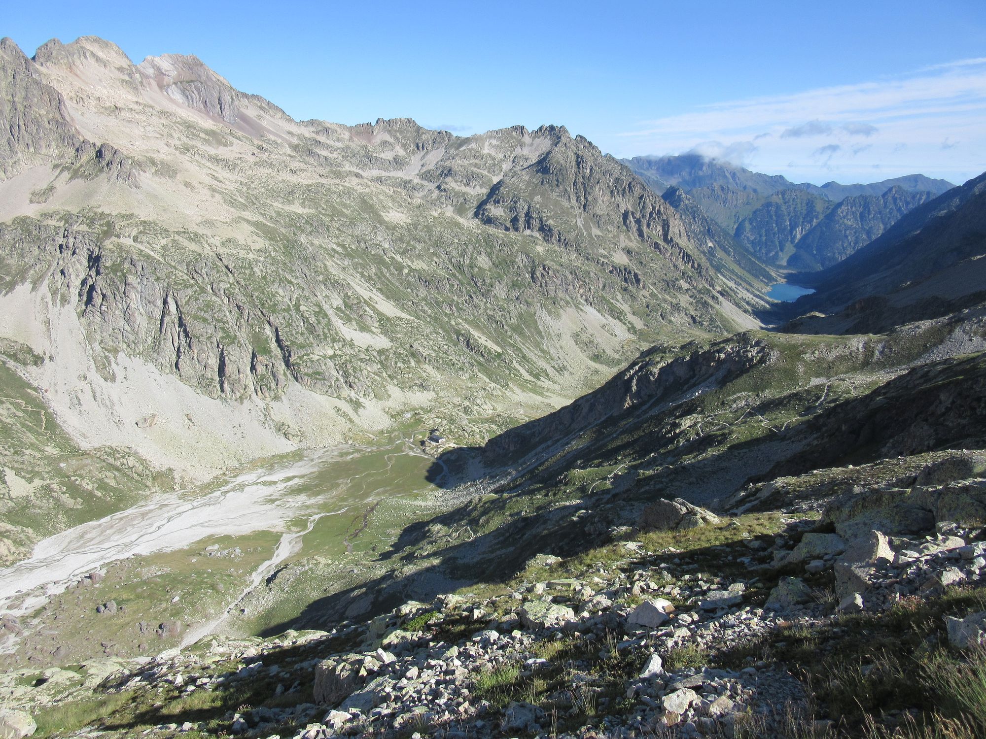
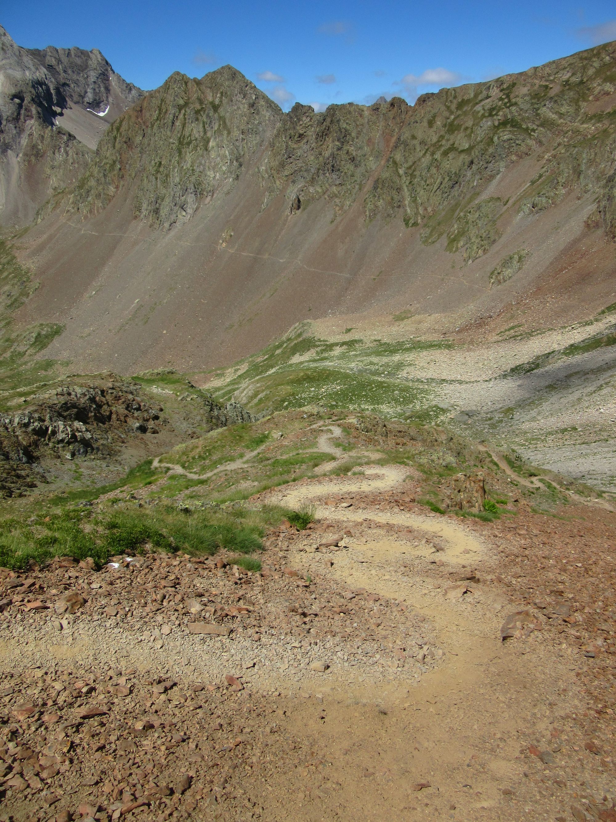
It was about eleven o'clock before I got out of town, after faffing around posting crampons and done-with paper maps into the post-Brexit nightmare of France-UK customs forms and shipping, finding the Gavarnie cash-machine (Google maps is completely wrong about where it is) and buying some bread and cheese. But then I made swift progress up to and then along the undulating path running along the side of the Ossoue valley. Stopped for lunch at the Barrage d'Ossoue as it started to cloud over.
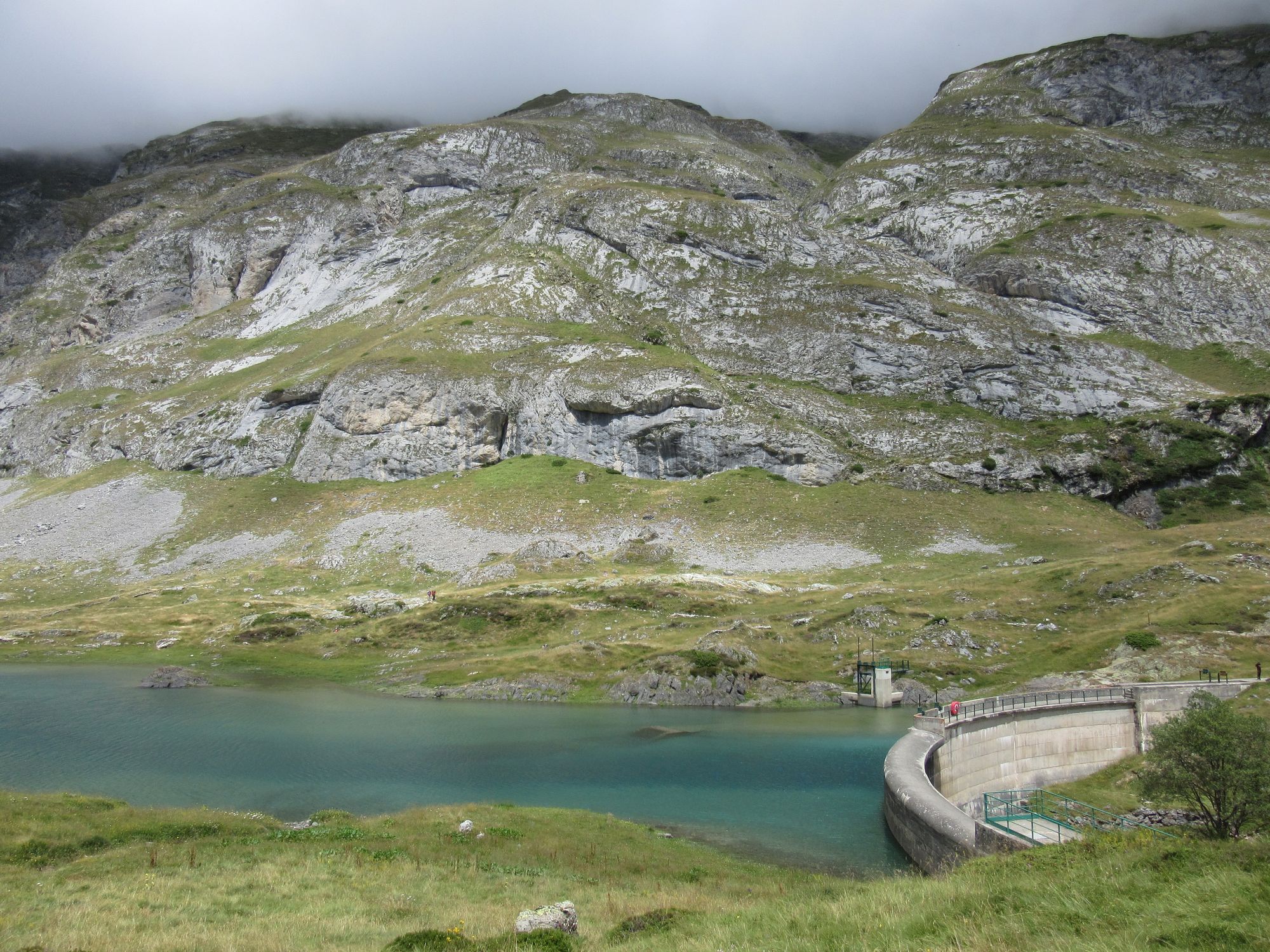
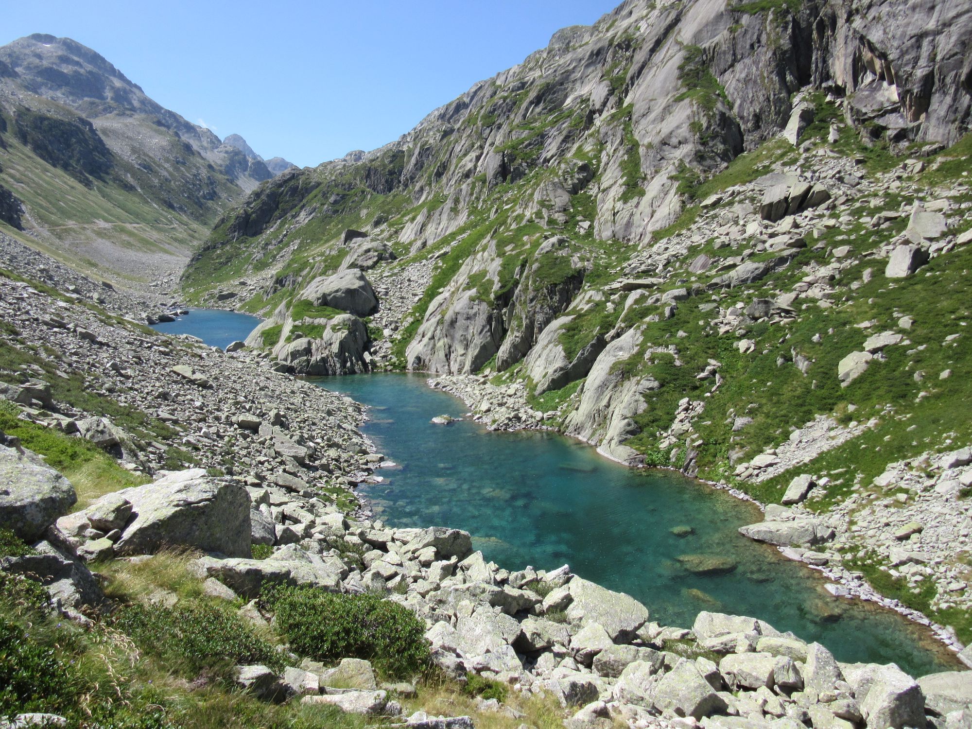
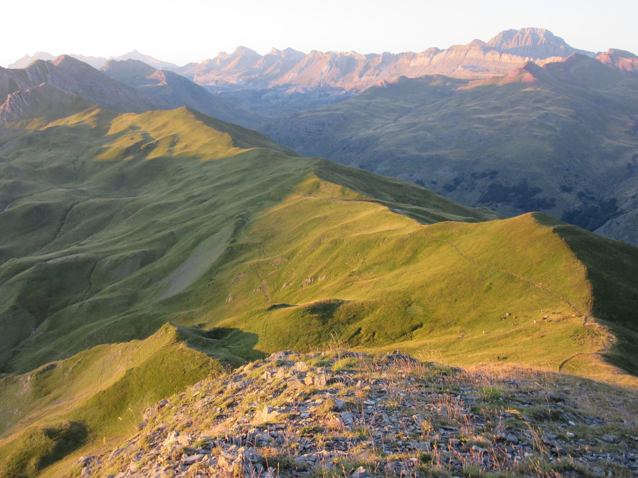
Vallée d'Ossoue.
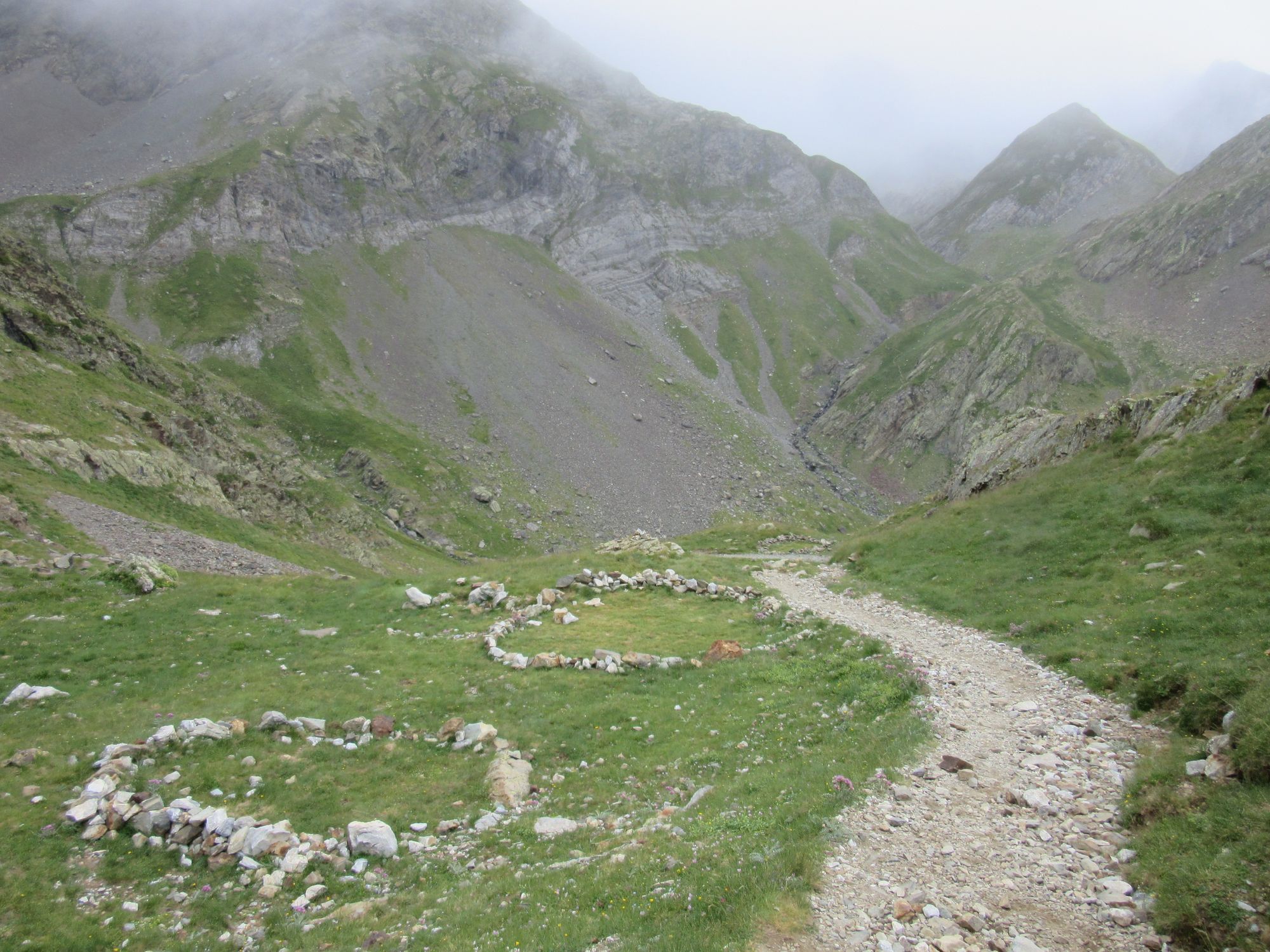
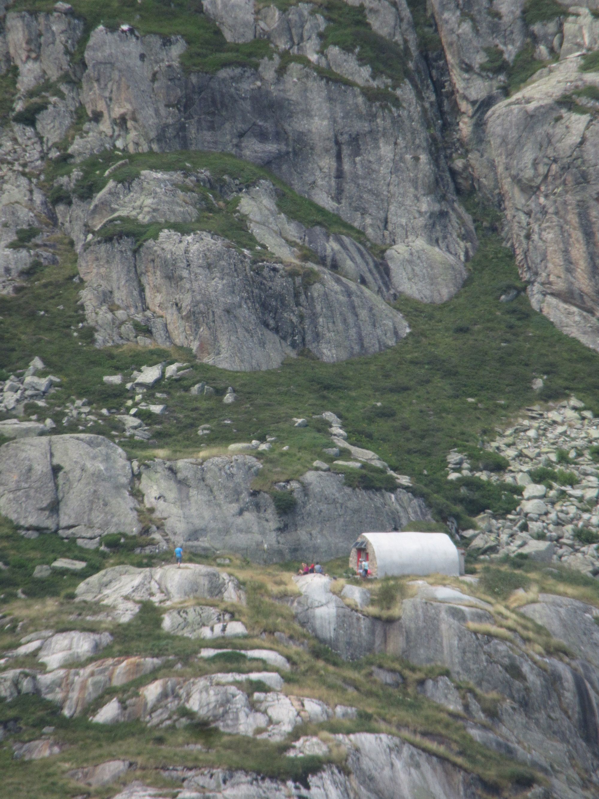
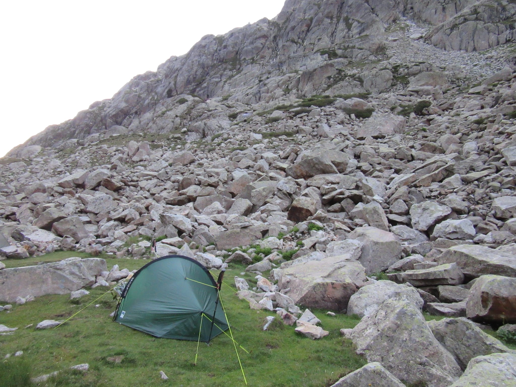
Then the waterproofs went on for only the third time this trip as intermittent light drizzle started up. I had no real plan for where I was likely to end up today... worst case scenario might have been heading all the way over to Refuge des Oulettes de Gaube and its approved bivouac zones, but I was hopeful "something will turn up!" before then... and indeed started wondering if the "Grottes Bellevue" might be a possibility! As it turned out, there is little to appeal in the way of tent pitches for much of the climb (unless you like slopes, rocks and thistles) but around 50m below the Russell caves there was some promising looking flat grassy ground with bivouac stone circles (I didn't investigate whether the ground was peg-friendly though).
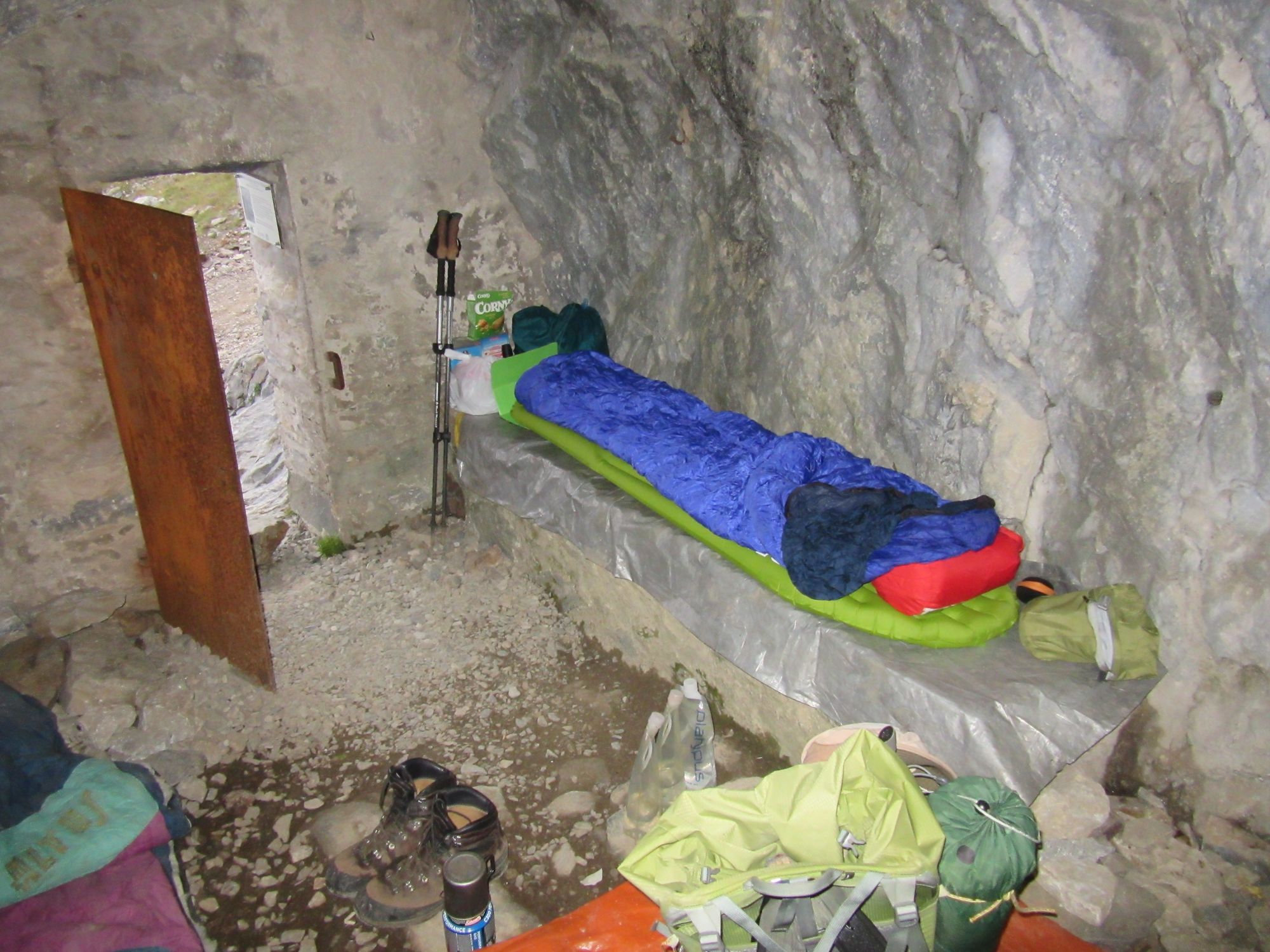
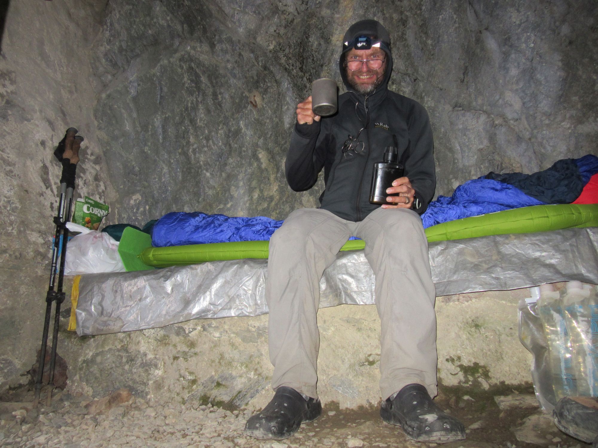
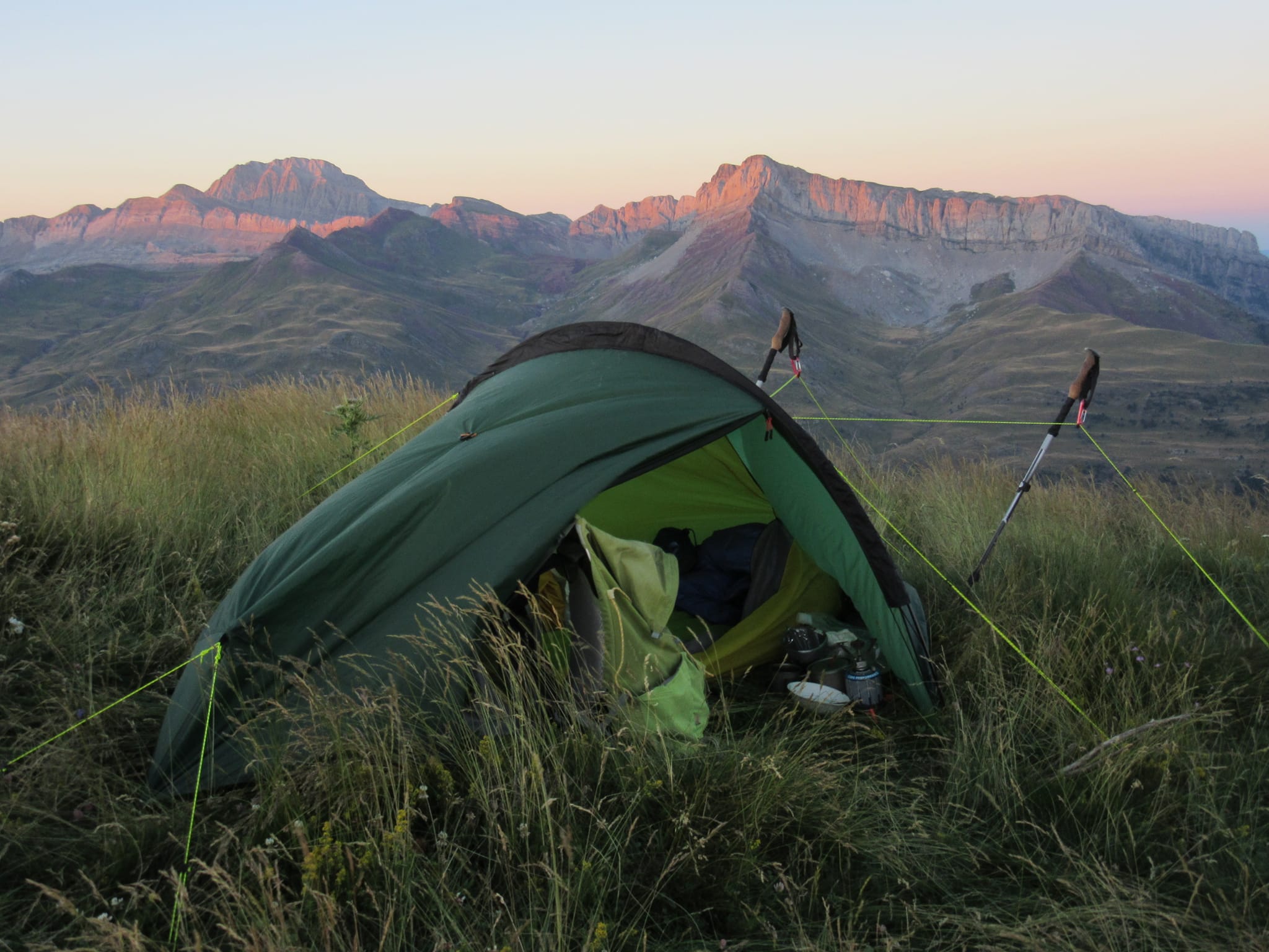
However the left-hand (facing them) Bellevue cave - next to the "sundial" - was so appealing with its little single-mat sized platform and dry interior that just had to be the place, and a very comfortable night was spent there (sleeping bag was used in its warmest "-5C" mode though!)
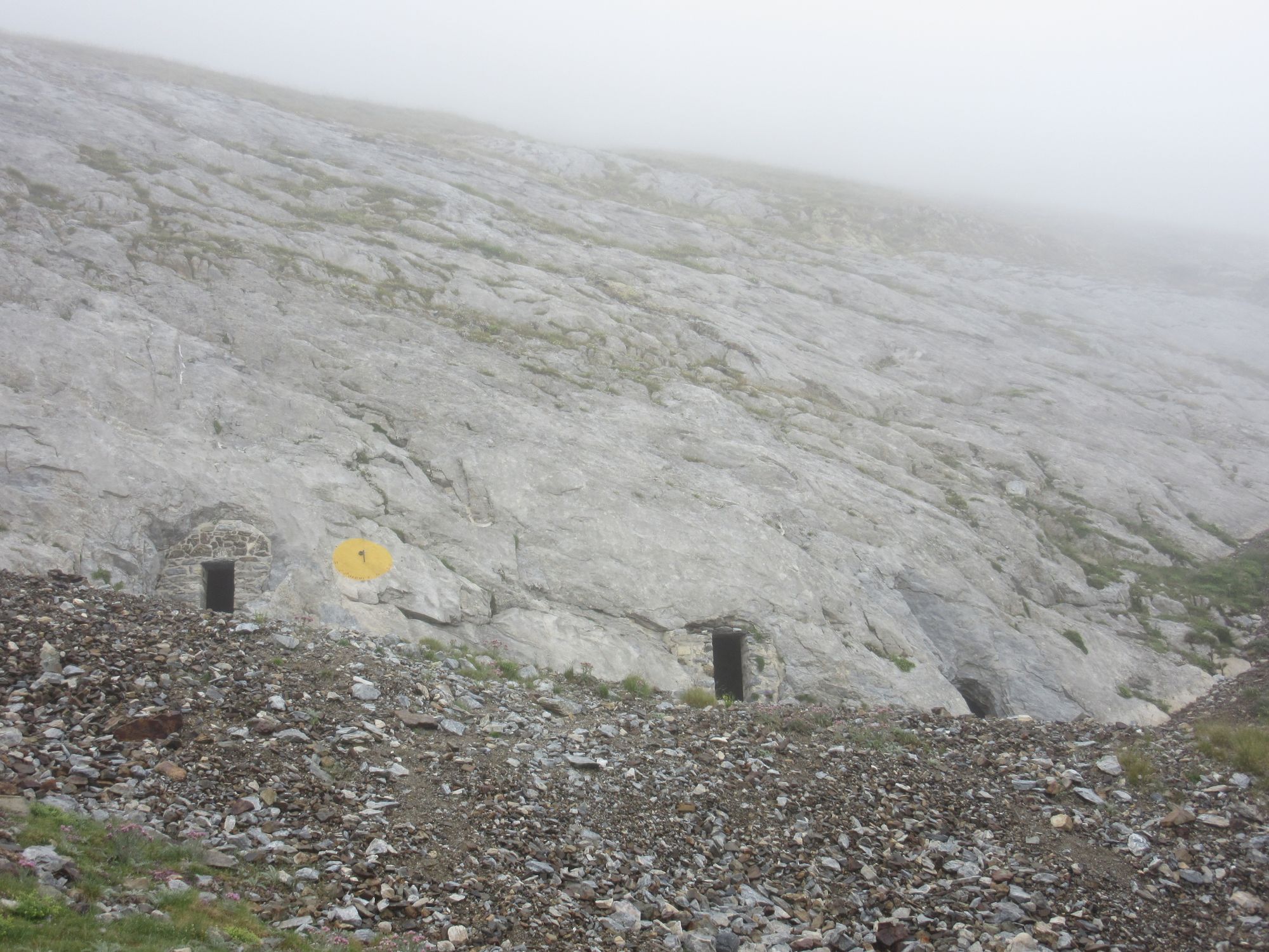
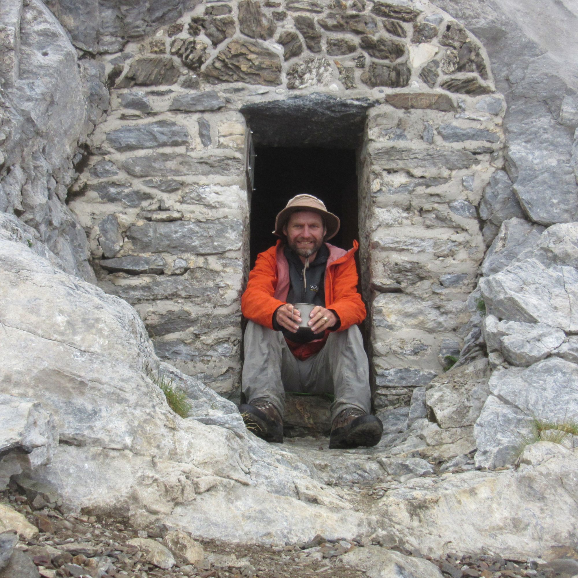
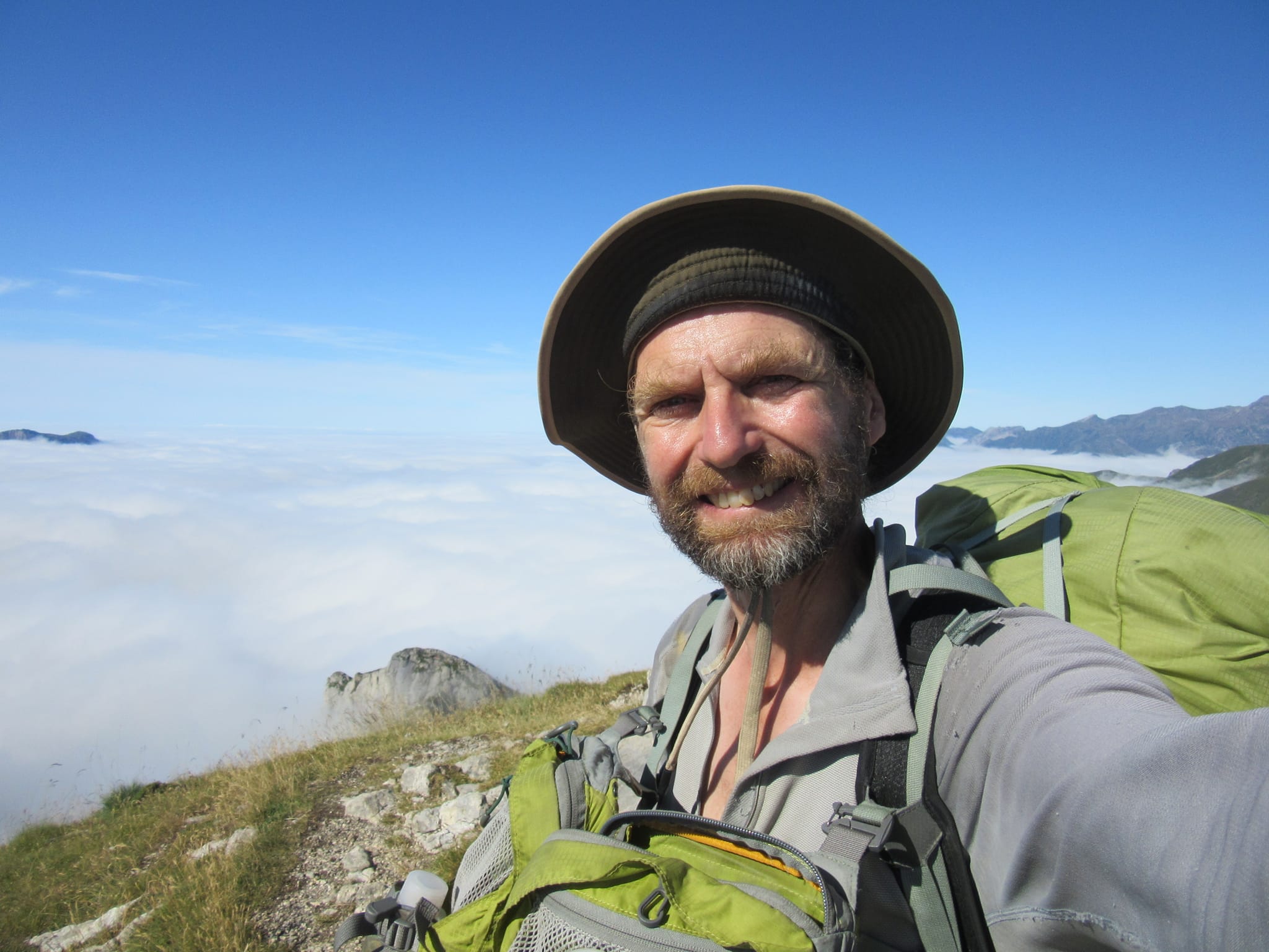
The "Grottes Bellevue" and a toast to Sir Henry Russell and his most excellent accommodation.
Any fears I had that the caves would turn out to have been used as toilets seemed to be unfounded... there's an information plaque and enough plastic sheeting on the floor, some old sleeping bags and even a broom to make it clear this is more "emergency shelter" territory than somewhere to have a covert dump. It's the little platform which really makes it work though (and it's only big enough for one); I think I'd have preferred to be outside in my tent than on the lumpy rocky stony floors of any of the caves.
Day 28: "Grottes Bellevue" to Grand Lac de Cambales
I startled a few early morning ascenders with a "Bonjour!" from the cave entrance. The Refuge de Bayssellance wasn't very far above so I didn't stop there and got to Refuge des Oulettes de Gaube about eleven. No omelettes were on offer until after midday, so I made do with coffee and cake.
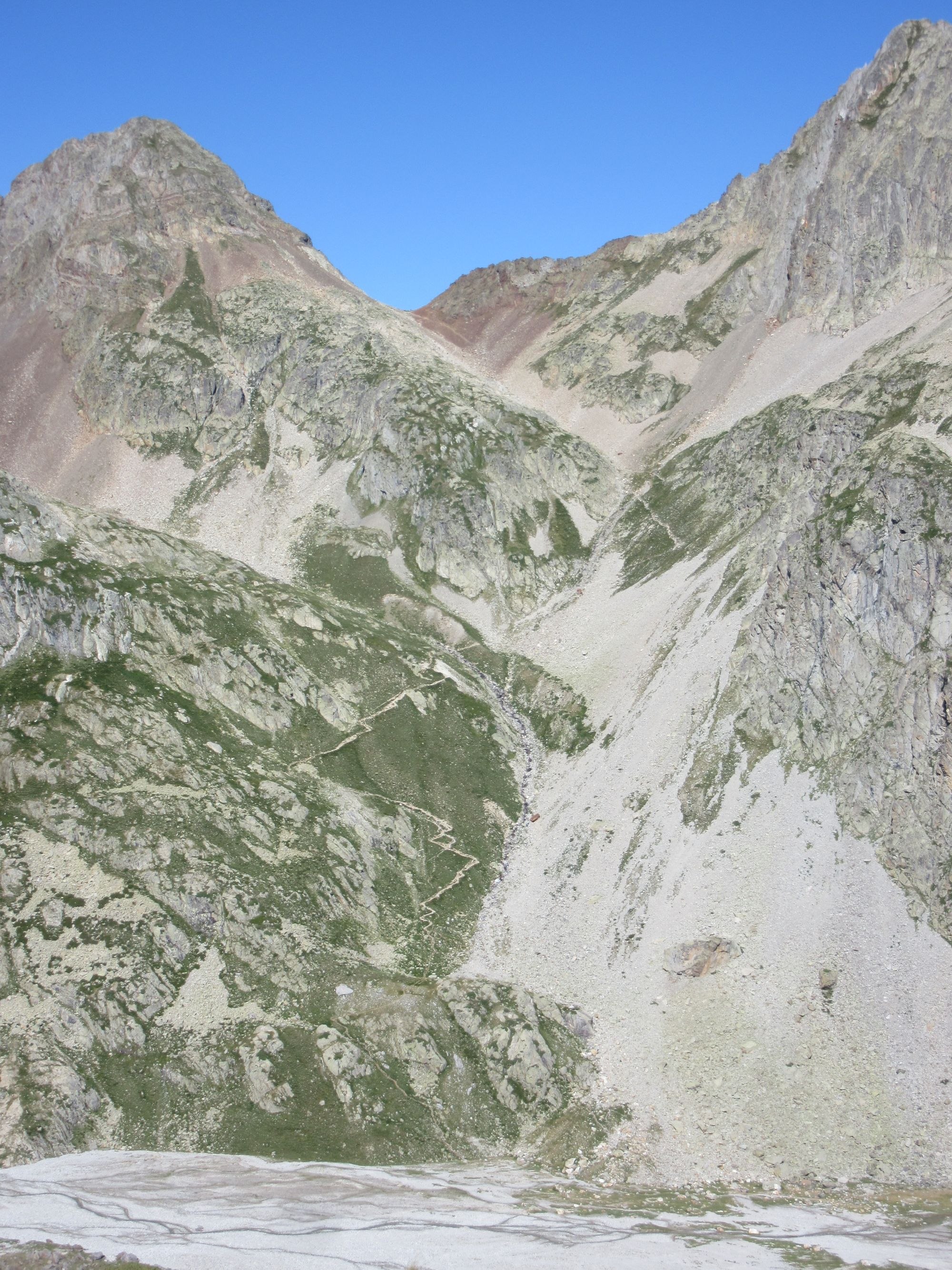
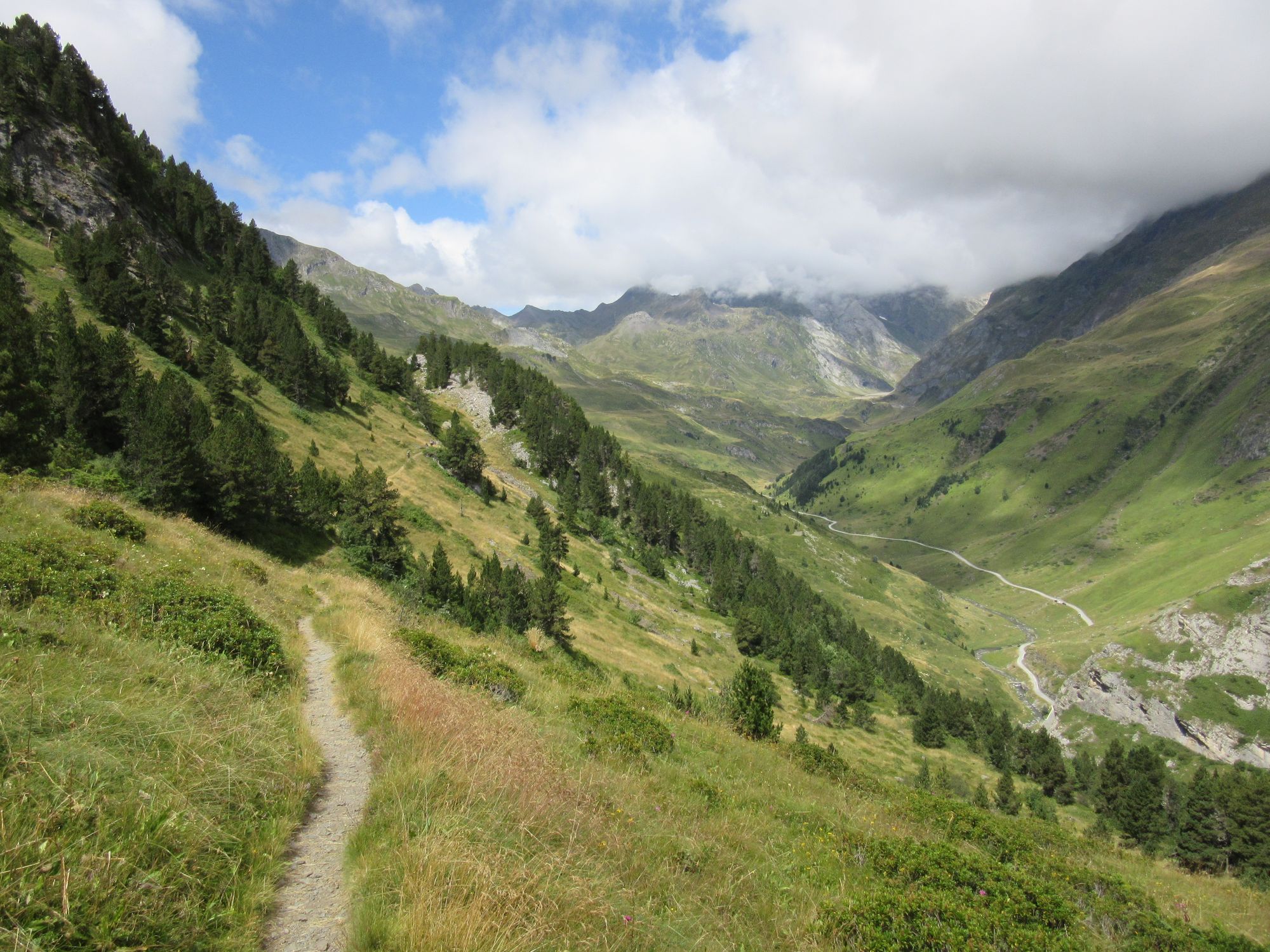
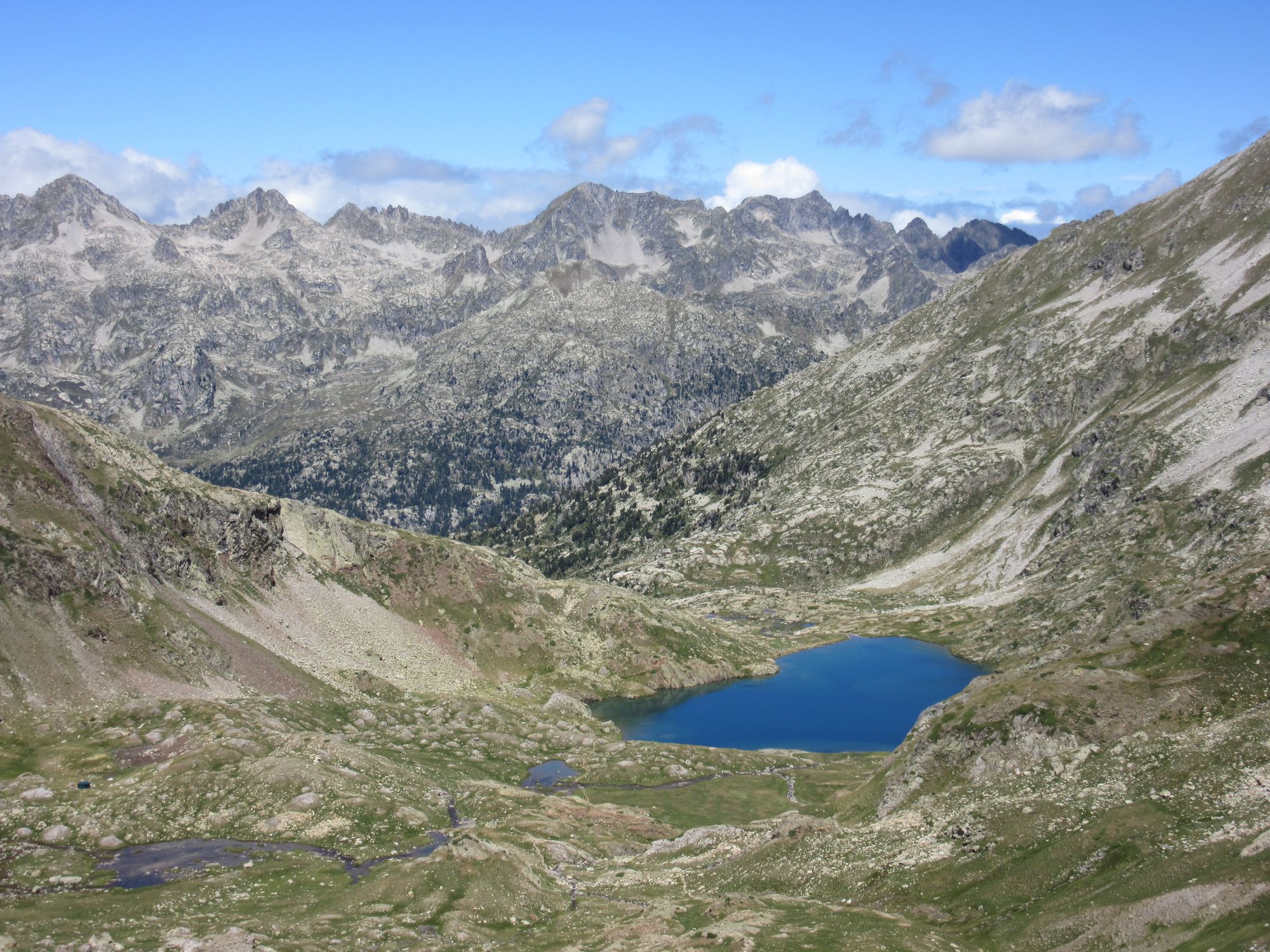
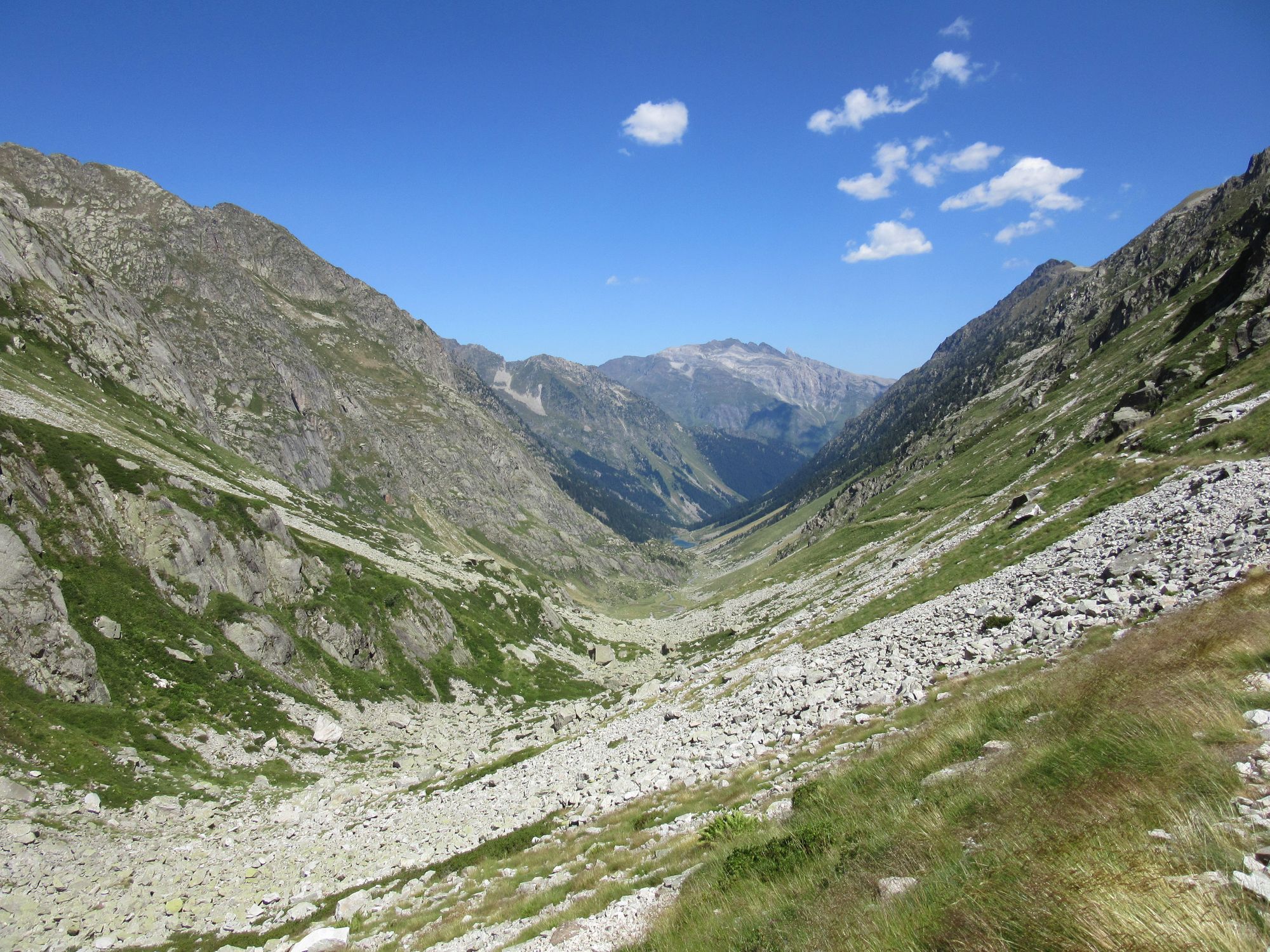
Vignemale country: from Refuge de Bayssellance over Hourquette d'Ossoue and down to Refuge des Oulettes de Gaube.
Then over the next couple of cols (Col des Mulets - reached via the zigzag path in the above gallery - and then Col d'Arratile).
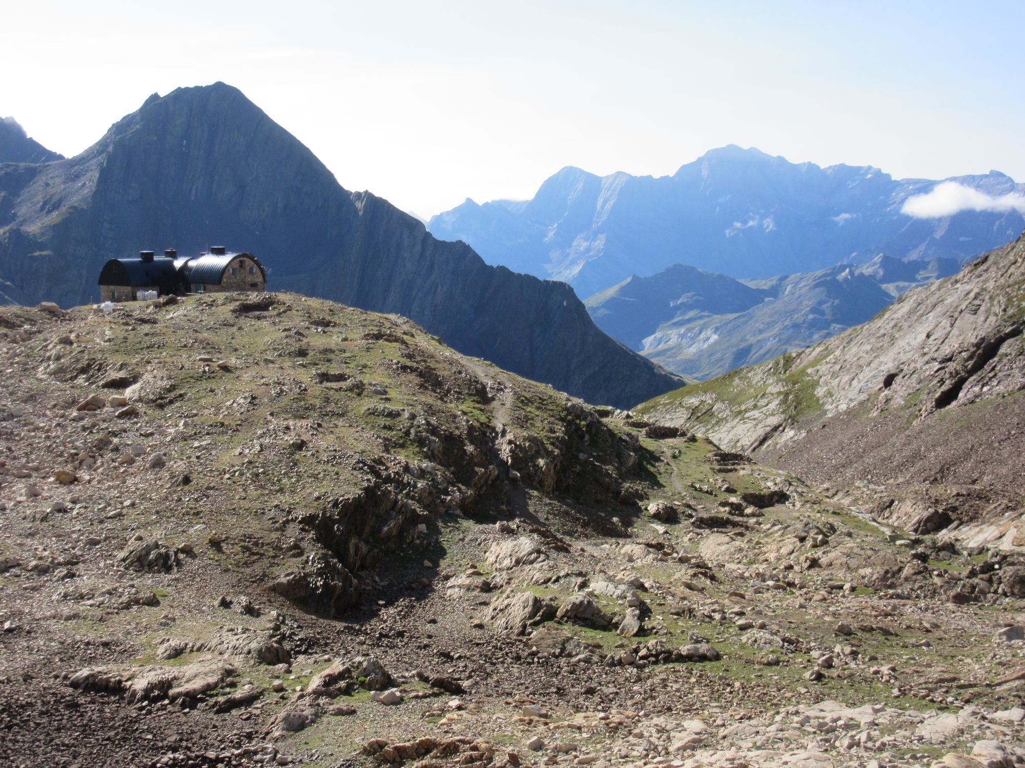
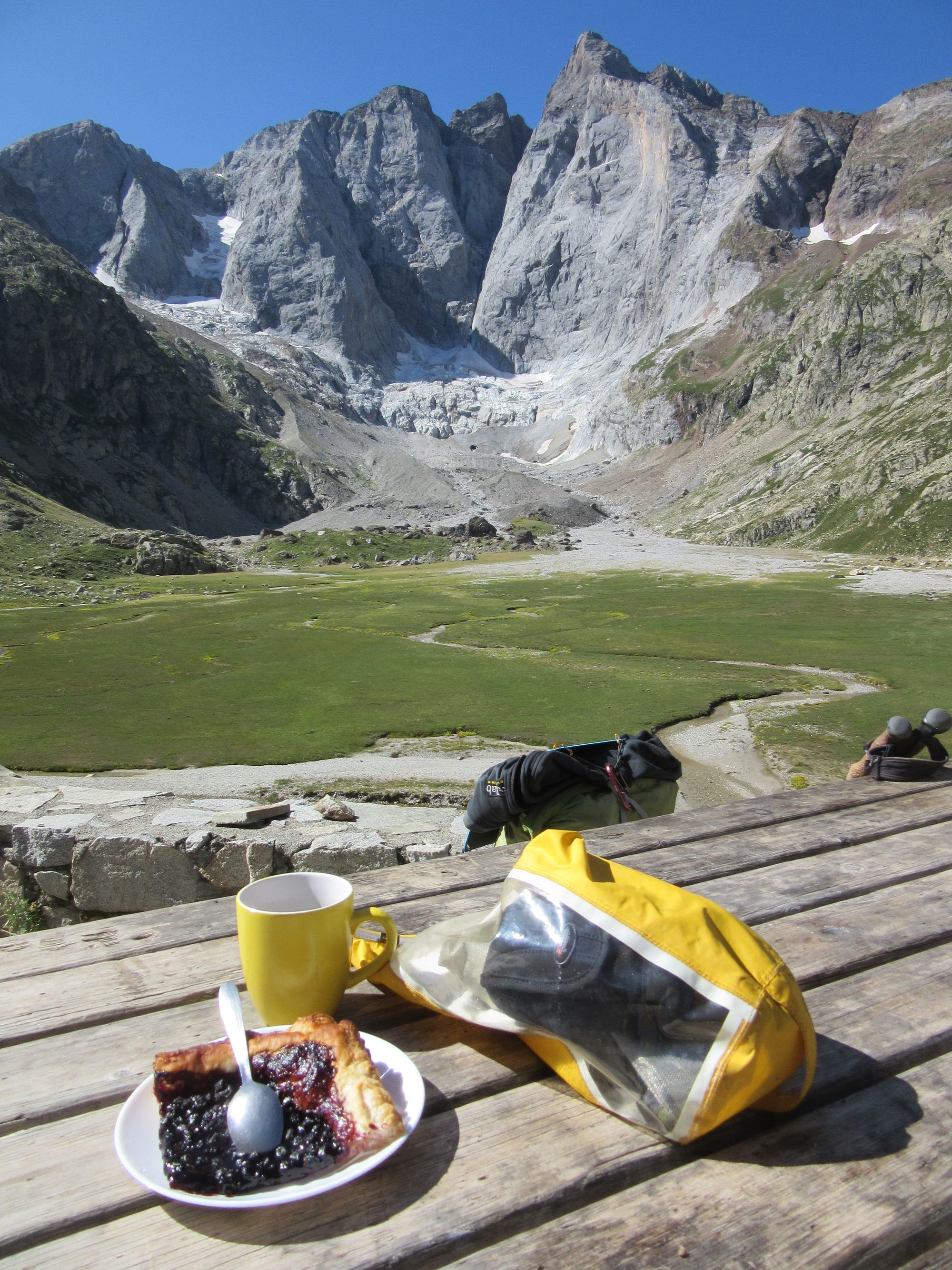
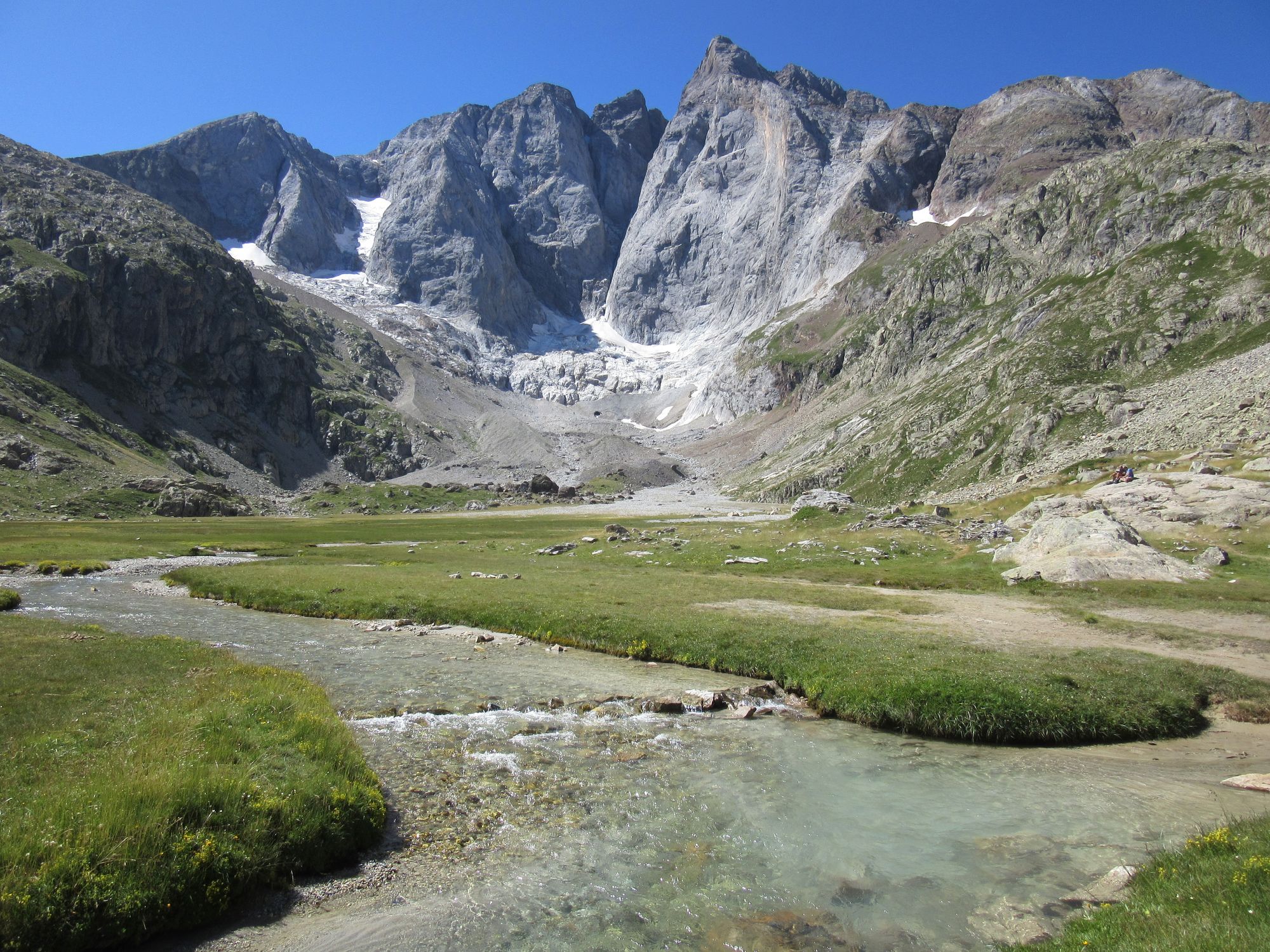
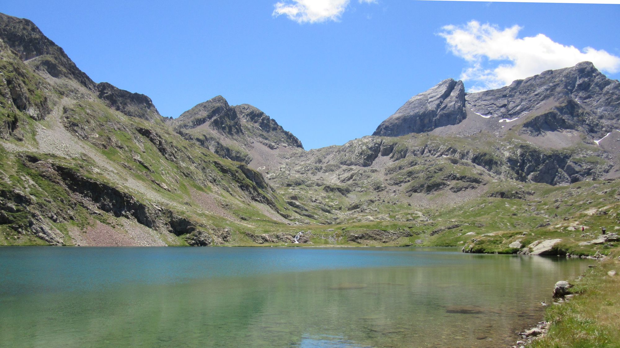
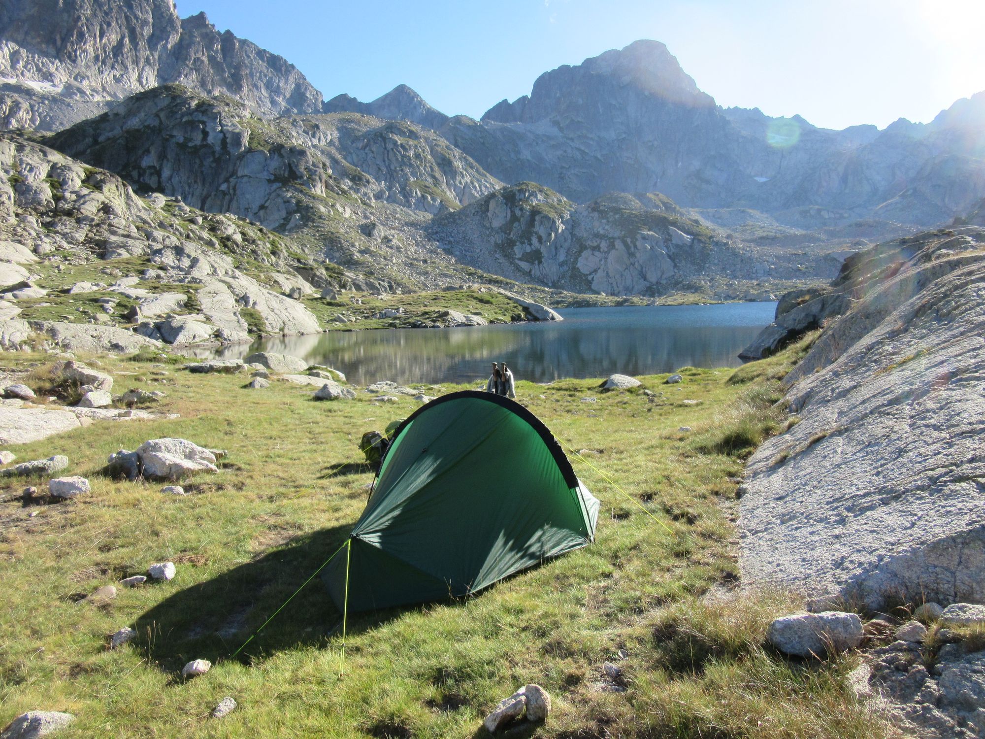
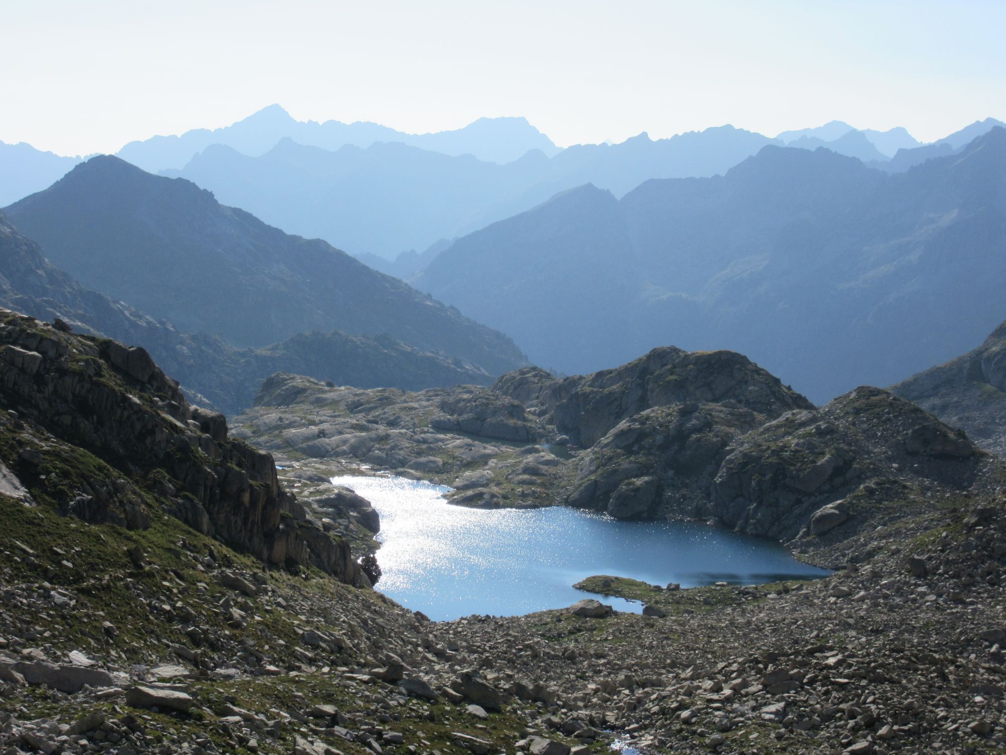
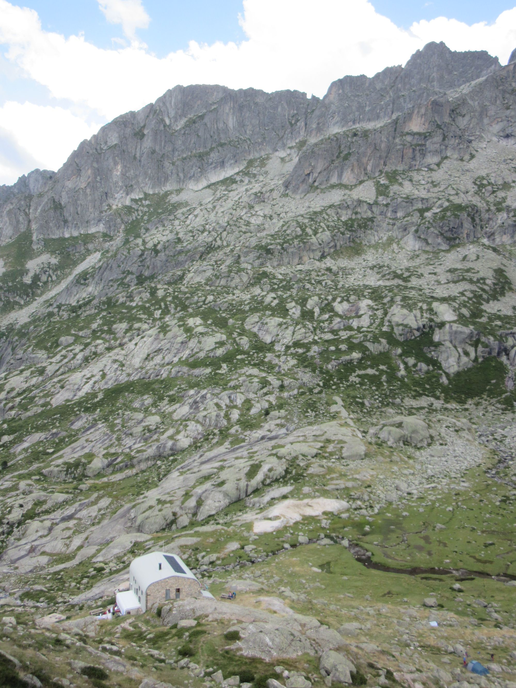
Stopped for lunch near the outflow of Lac d'Arratille (at the same spot where I'd camped on 2018's west-to-east) and then continued on down through all the nice granite slabs and water and pines country to the enormous Refuge Wallon... where I found (around four-ish) I was too late for omelettes! Made do with a beer and scored 0.5l of vin rouge in a Platypus bottle for later.
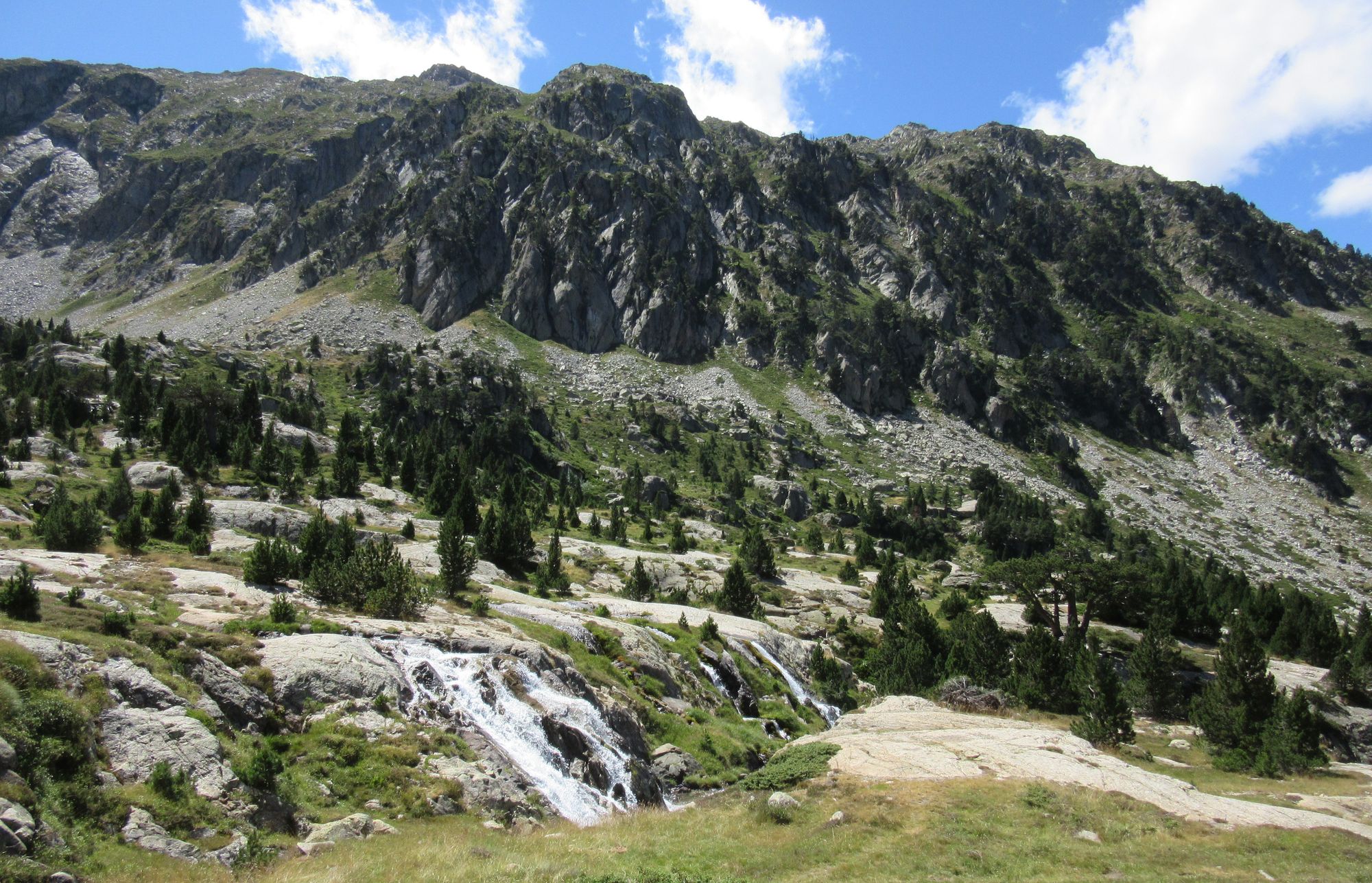
Granite, water and pines in the country around Refuge Wallon.
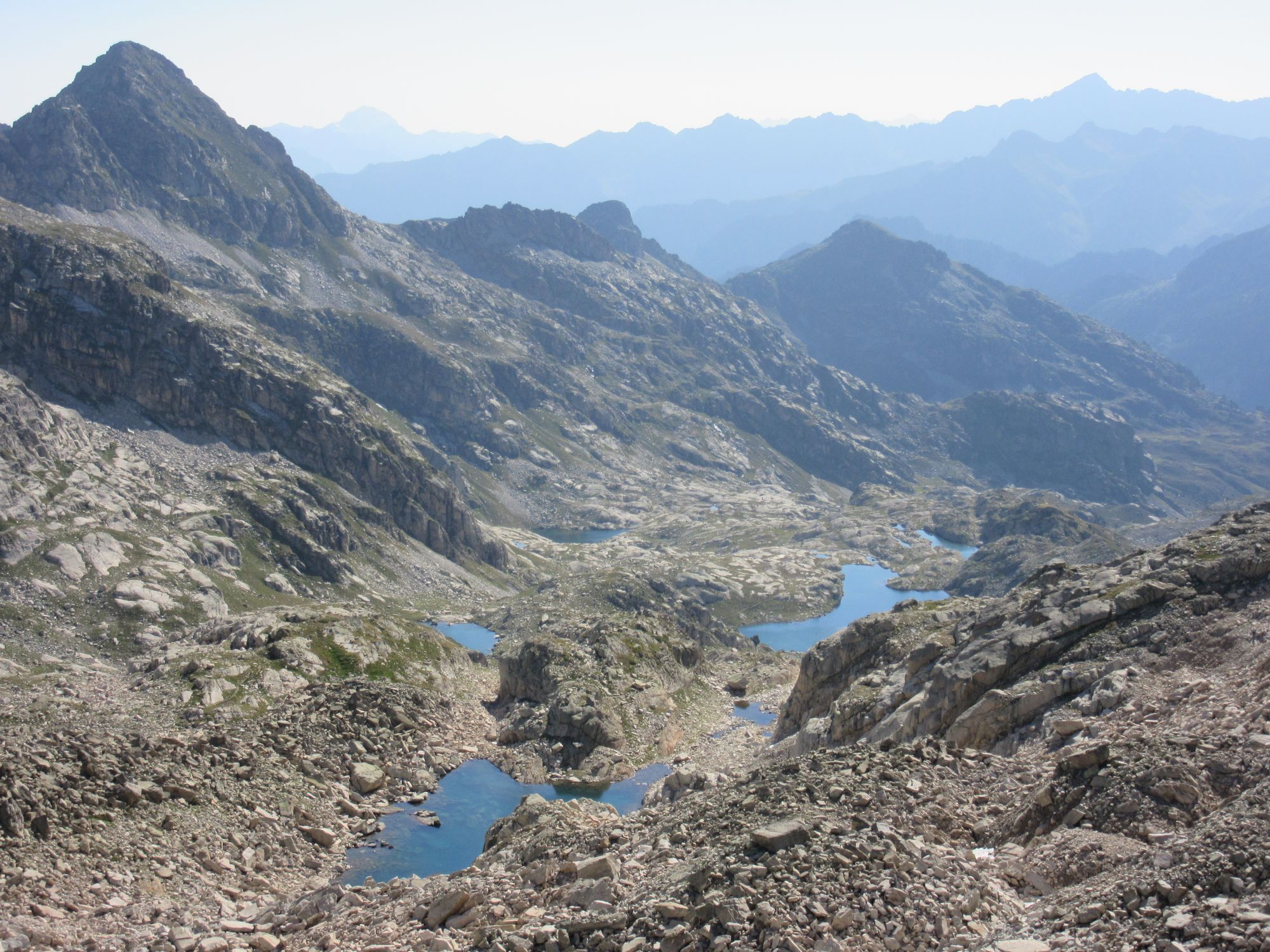
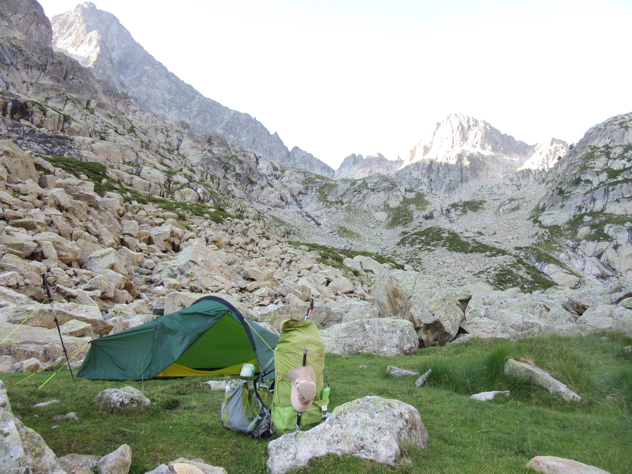
Then it was onwards and upwards towards Col de Cambales. I had a vague memory there are some nice pitches besides the river... and there were, but they were under firm control of the cows so I kept going up to Grand Lac de Cambales and found a bit of flat ground near its outflow. There were a few other campers around.
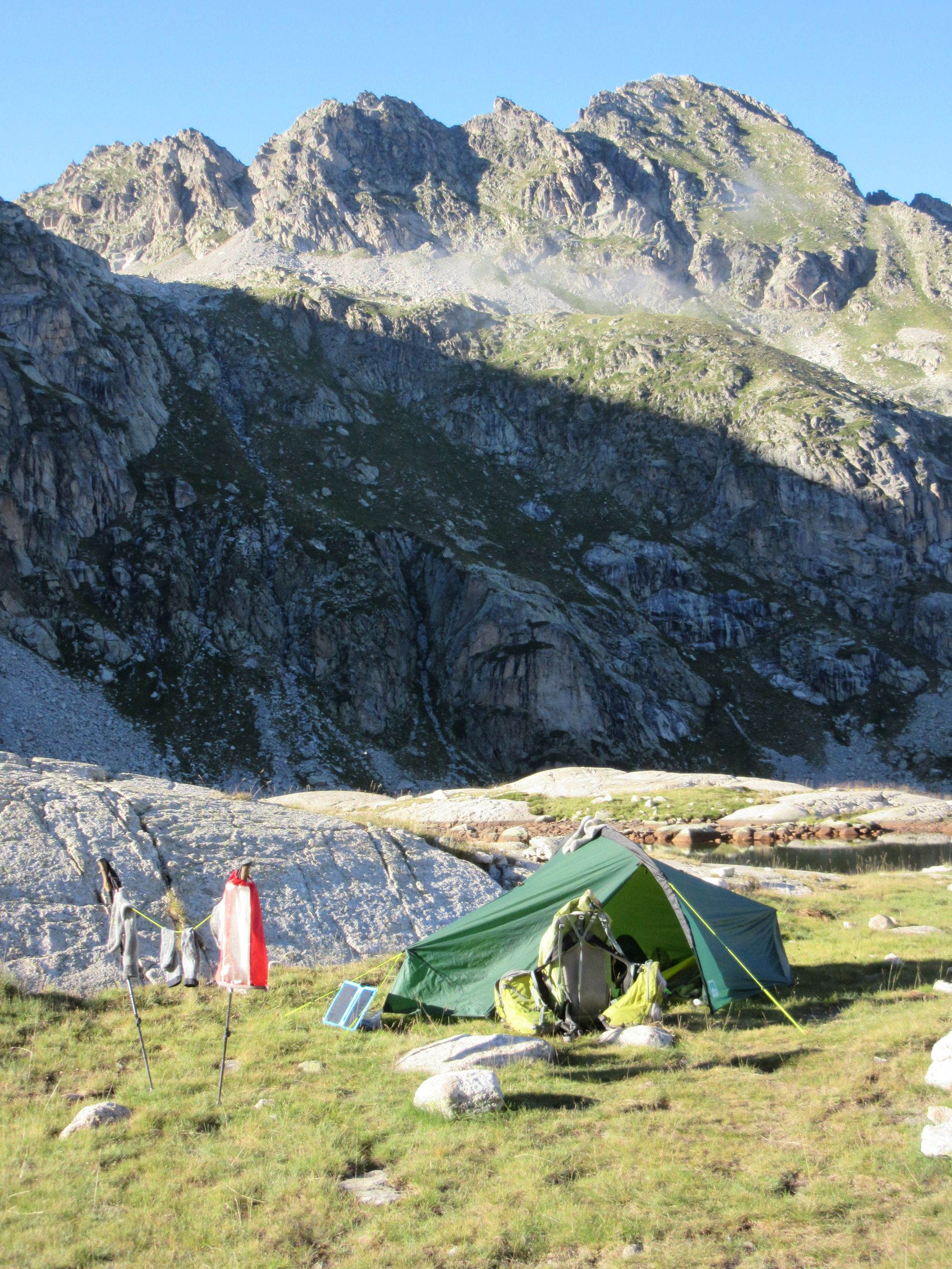
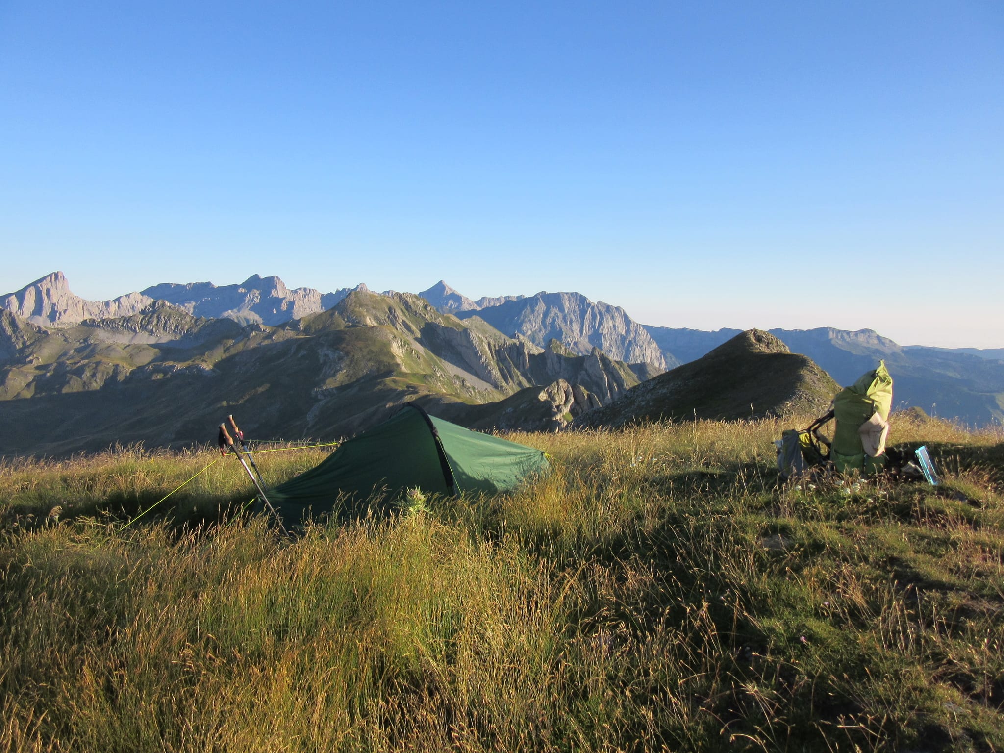
Camped at Grand Lac de Cambales.
Day 29: Grand Lac de Cambales to Lacs de Batcrabere
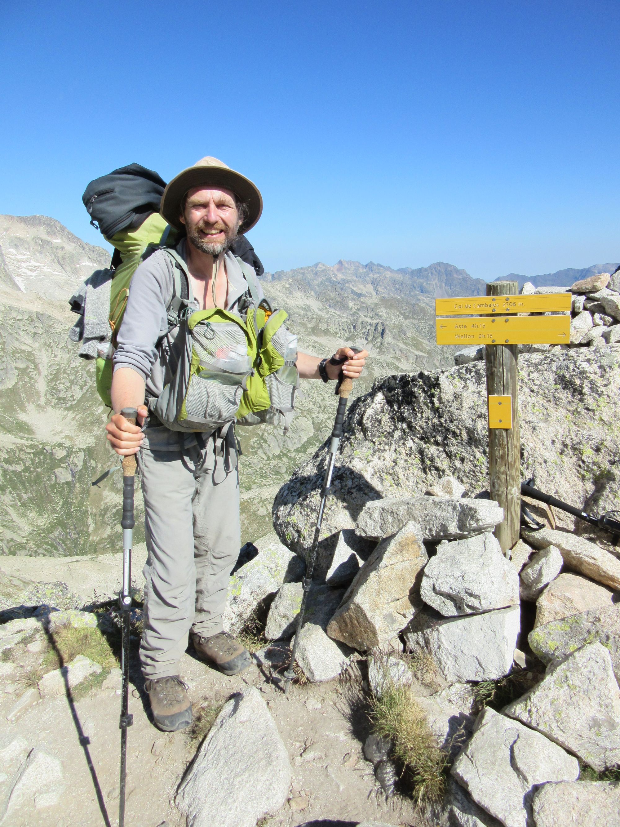
Broke camp and headed up to Col de Cambales. On the approach, a chap a little way behind me had to turn tail and run as a salvo of rocks rattled down towards him. There was the sound of sheep bells above.
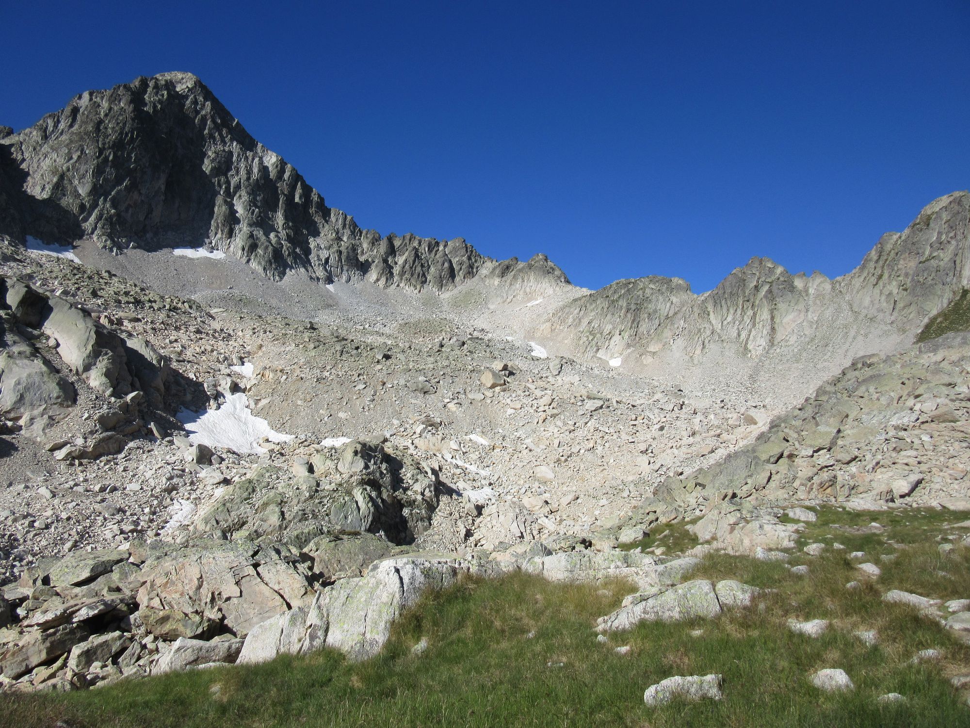
Climbing above the lakes to Col de Cambales.
From the Col, it was a long descent to the Pla de Doumblas and then up to Refuge de Larribet.
Descending towards Pla de Doumblas, Refuge Ledormeur visible on the other side of the valley.
Arrived at Refuge de Larribet about 15:45. Unsurprisingly it was too late for an omelette, only cold "assiettes" were available but I reckoned I was carrying more than enough supplies so just had a second lunch from those instead.
Carried on up to the Lacs de Batcrabere to camp. Decent pitches were in short supply amongst all the bouldery moraines so I had little choice but to plonk myself next to a French couple occupying the prime real estate who were clearly pretty miffed that someone had dared to intrude on their romantic idyll. They gathered up all their stuff and fled behind some rocks. Or maybe I just looked and smelled like such a scary vagabond. It was all moot as within minutes of me getting the tent up a massive thunderstorm broke and and thunder, wind and rain (and occasionally chunky hailstones) continued for the next 4 hours or so. Water levels of some little nearby streams started to rise alarmingly; the nearest one grew into a puddle lapping up against the back of the tent, but got no higher fortunately. But by the morning the wind had dried everything out and you wouldn't have known anything had happened.
Camped in the moraines around the Lacs de Batcrabere.
Day 30: Lacs de Batcrabere to Lac de Pombie
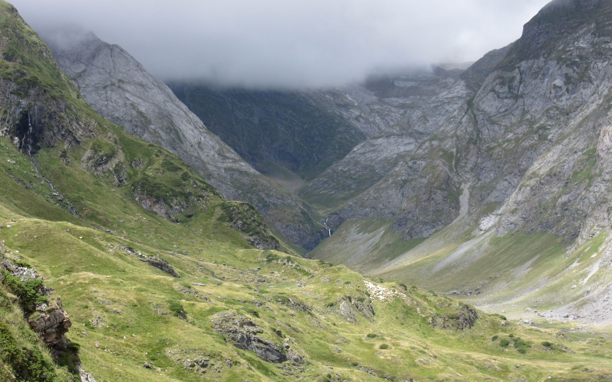
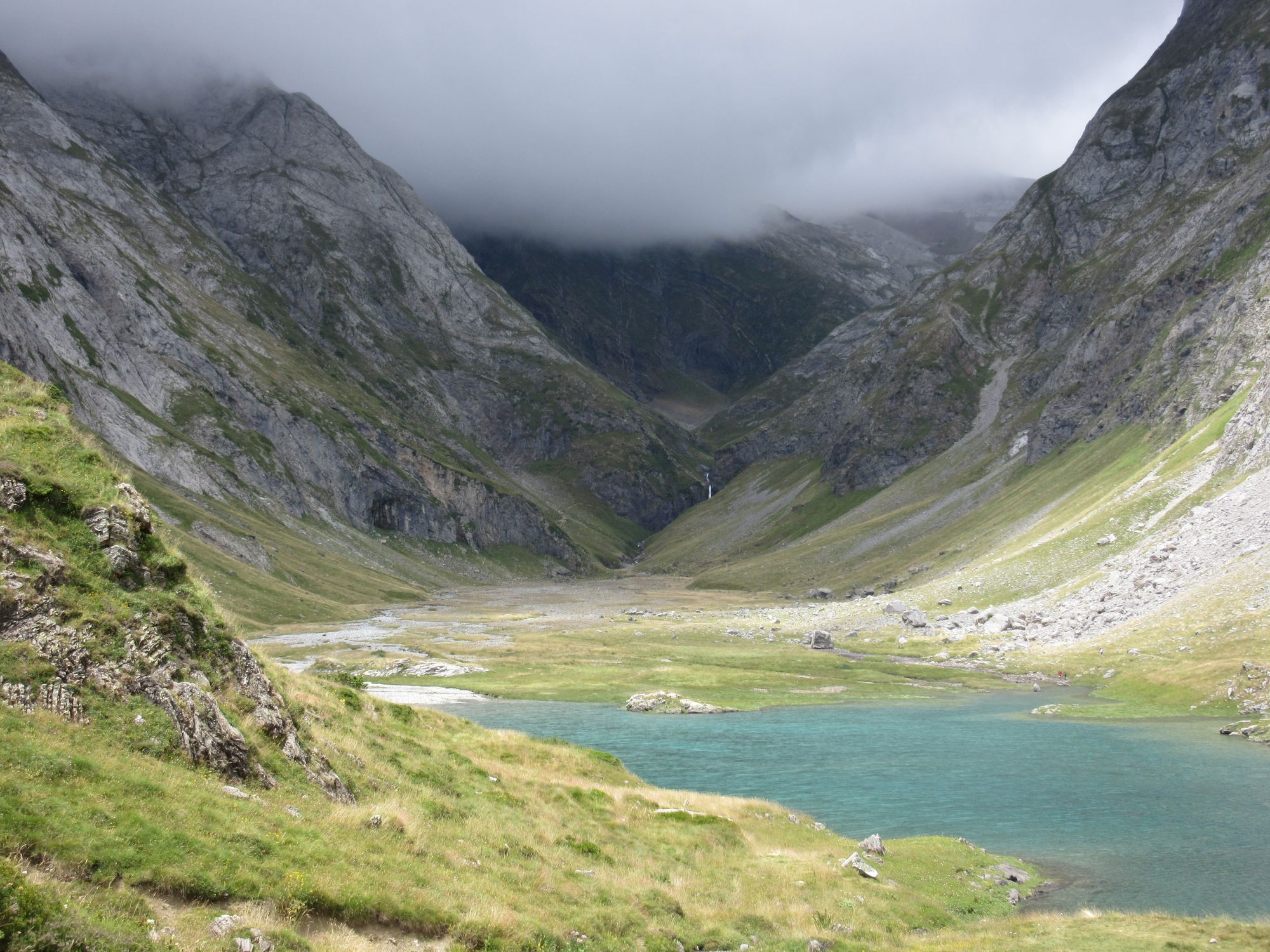
Over Port du Lavedan (not as easy in this direction) and Col du Palas.
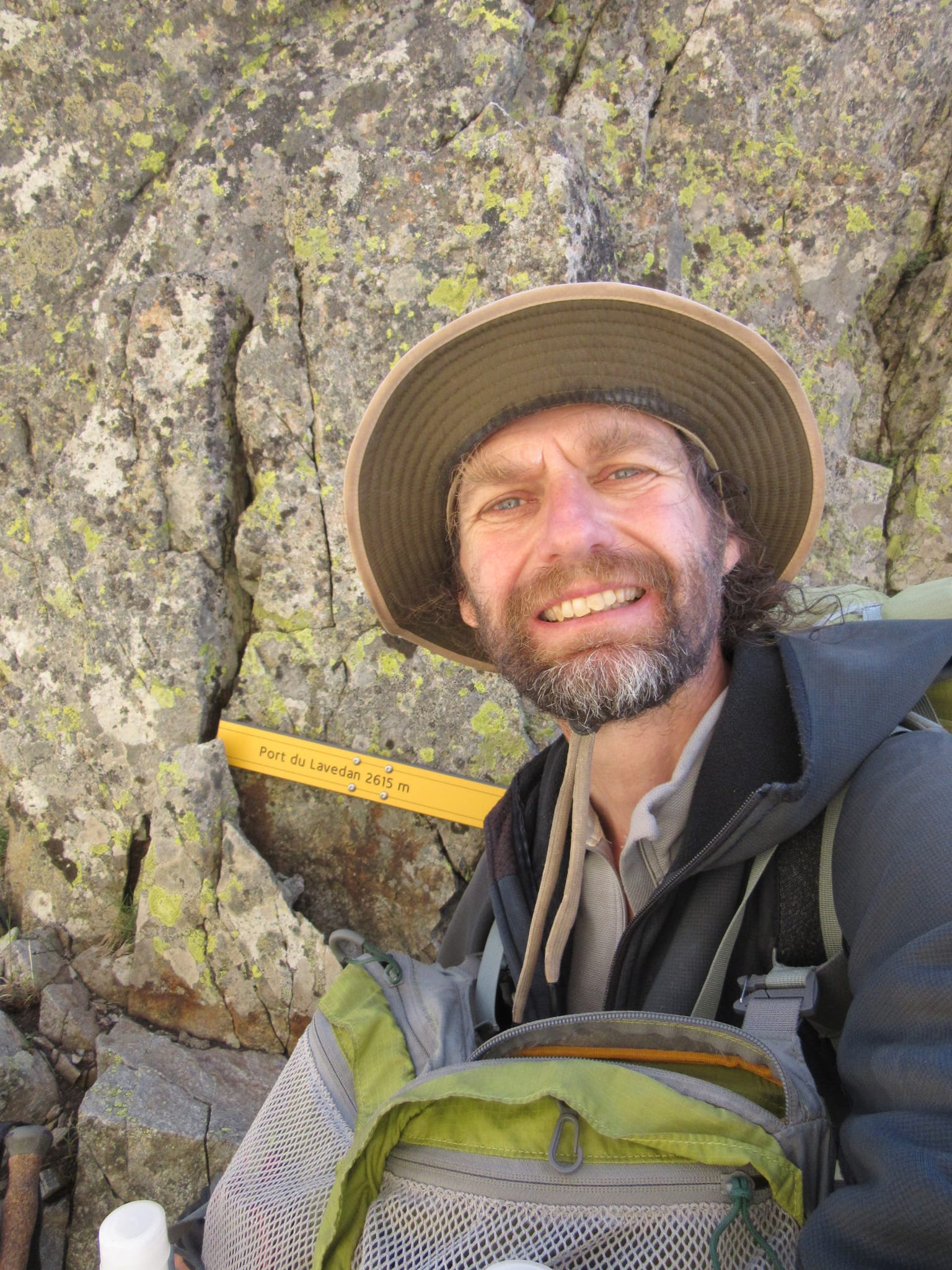
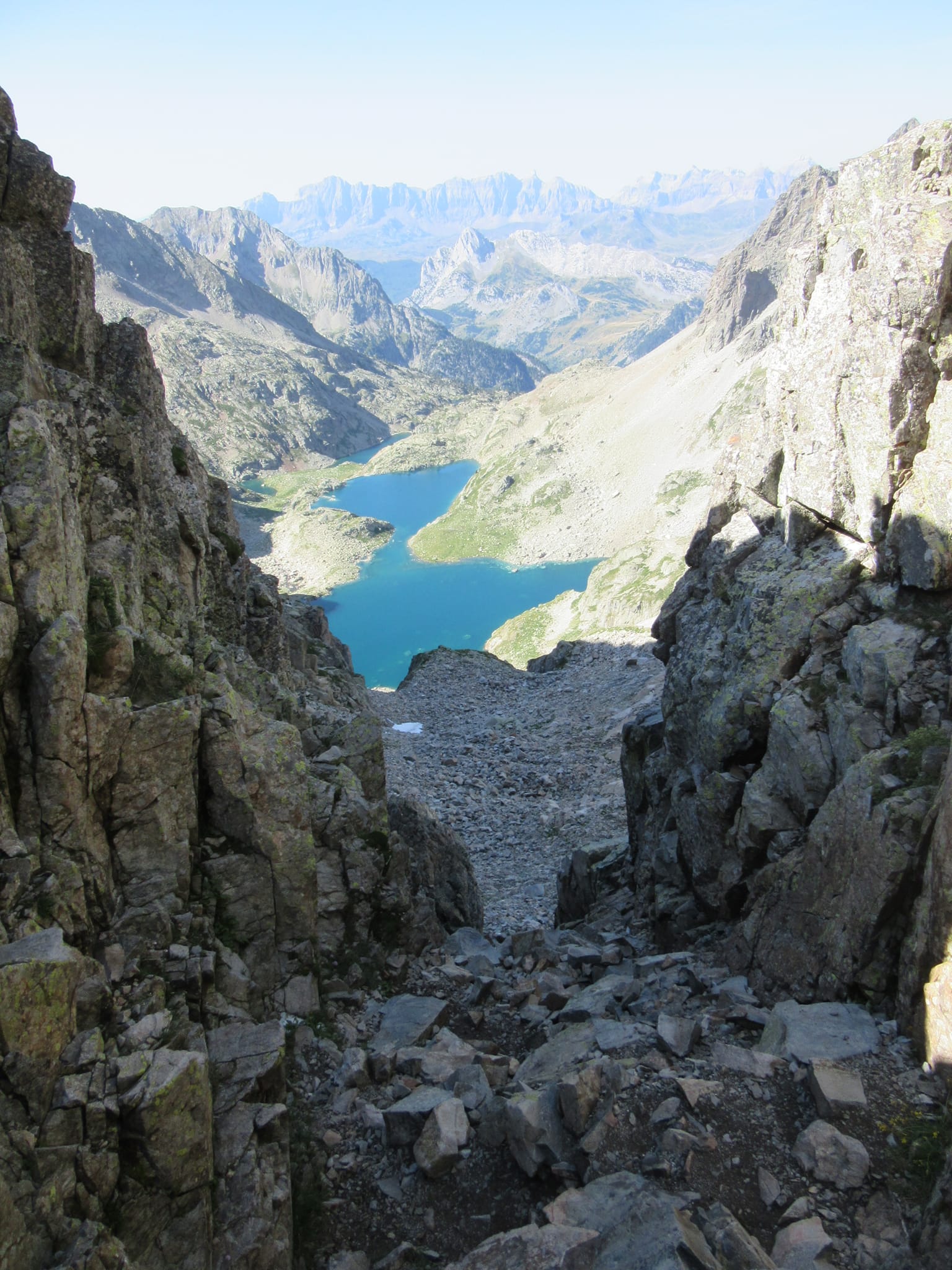
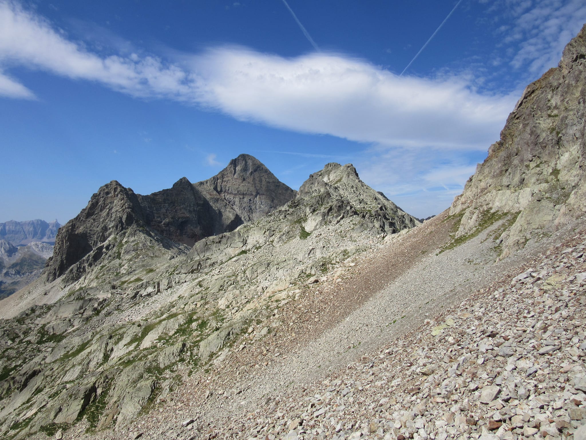
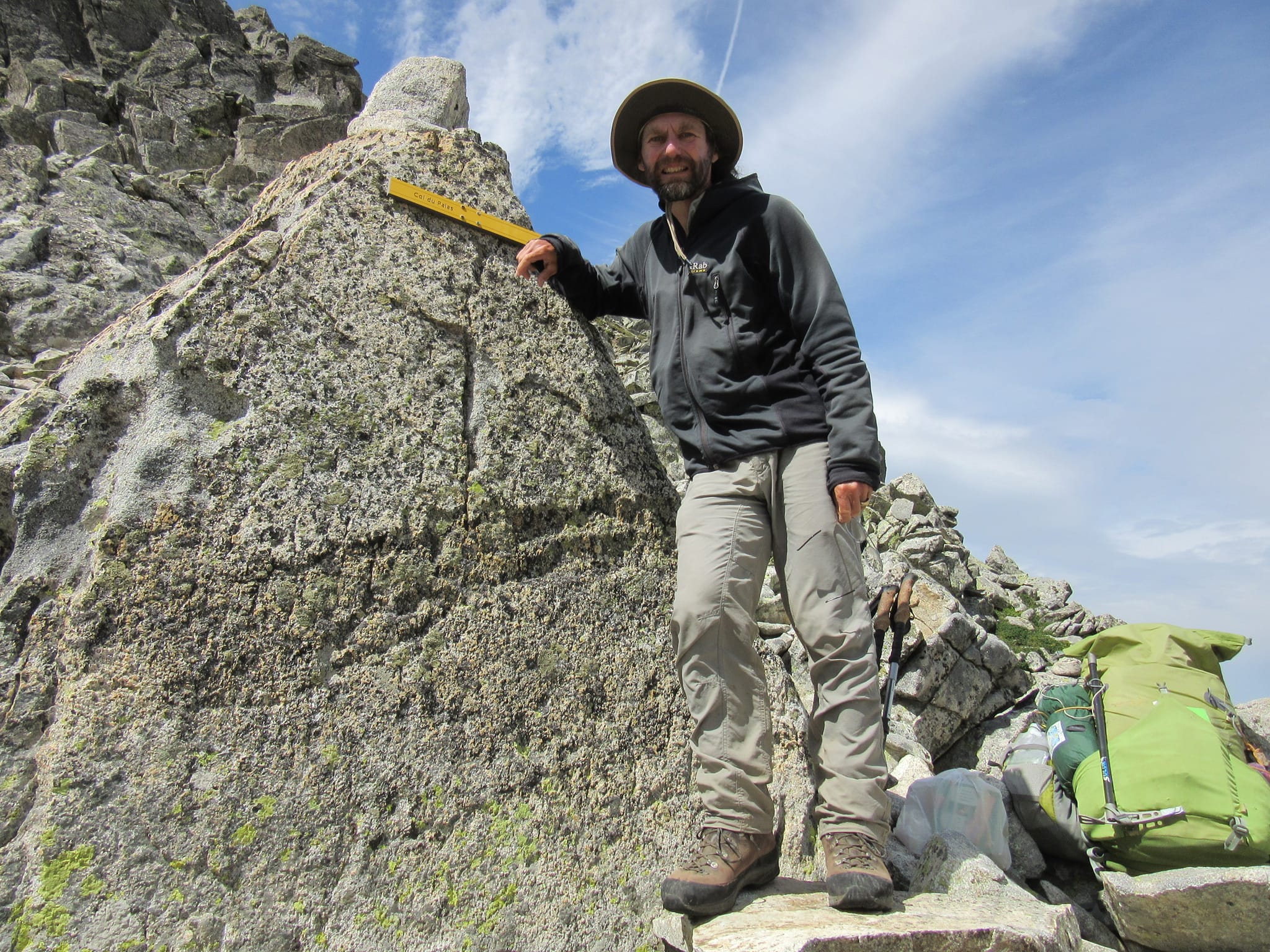
Above Lacs de Batcrabere over Port du Lavedan and Col du Palas.
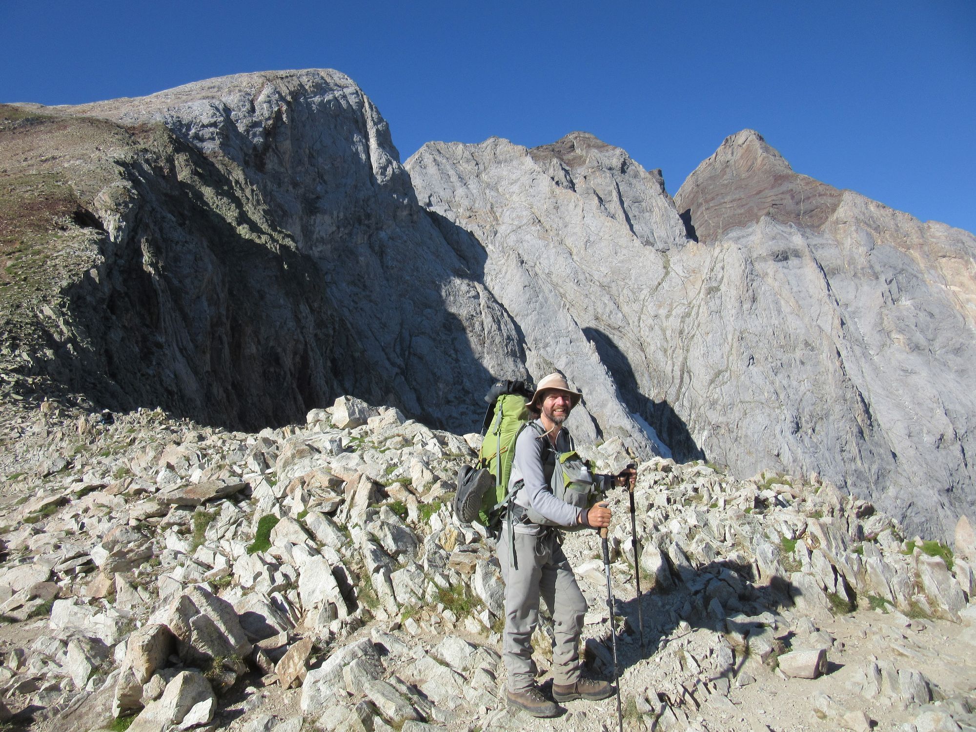
As expected the Refuge d'Arremoulit was a fenced-off building site. Which was a shame... I passed by just after midday and it would have been prime omelette time if it had been open! I was pleasantly surprised to bump into another east-to-west HRPer I'd met way back near Canigou. I'd thought they were going a lot faster and lighter than me, but my satisfaction at having kept up with them was somewhat deflated when they listed all the extra peaks they'd done along the way! A quick traverse of the over-hyped Passage d'Orteig followed.
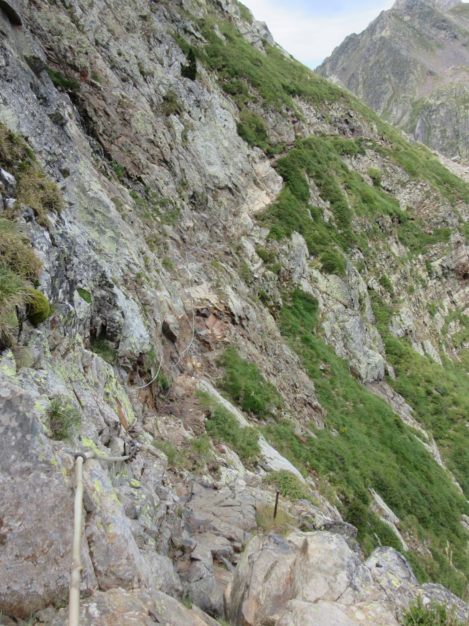
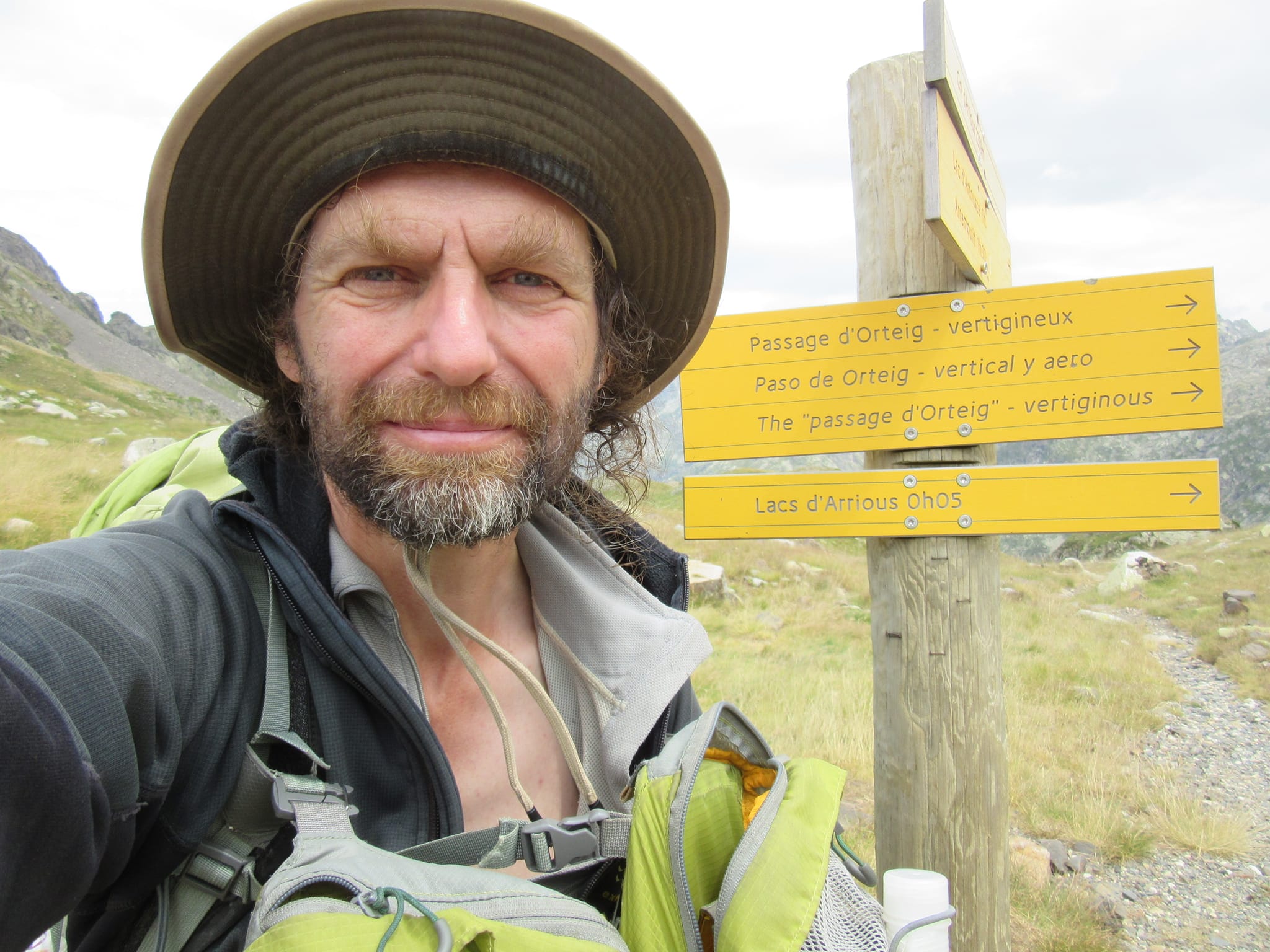
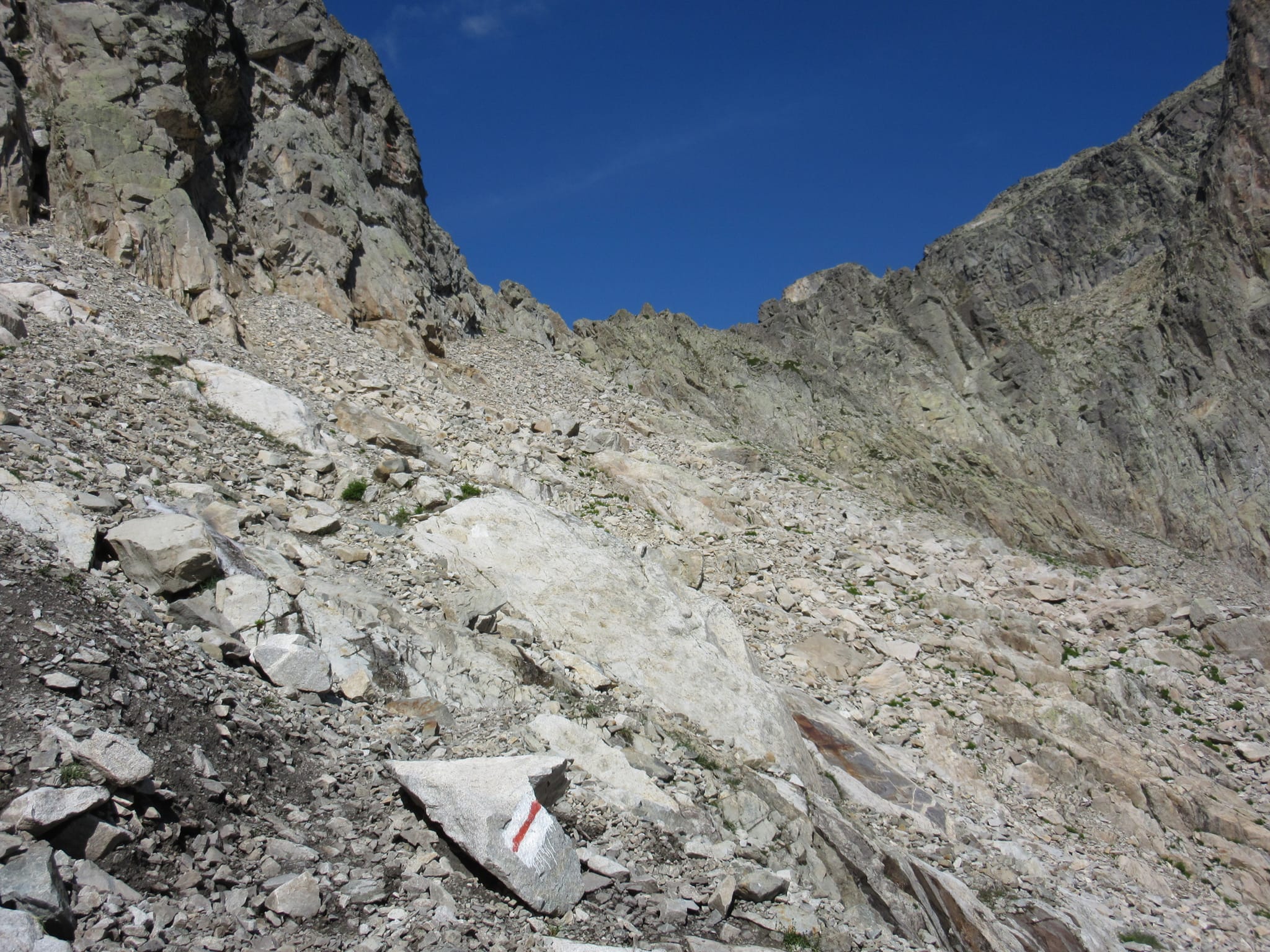
Successful traverse of the Passage d'Orteig.
From there it was a long descent to the D934 (hot, but with some cooling beech forest sections) and a climb to Refuge de Pombie. I'd originally intended to camp somewhere below the refuge, but the valley is in such a mess from animals (cows, sheep and horses all here in number) I just let the idea of a cold beer carry me on up. There were quite a few folks camped around Lac de Pombie.
Day 31: Lac de Pombie to Ibon de Astanes
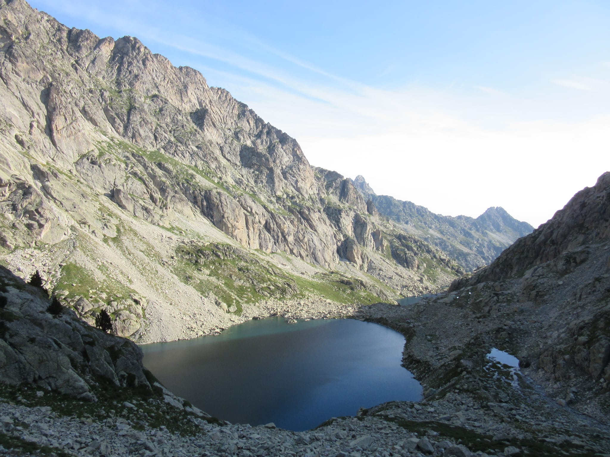
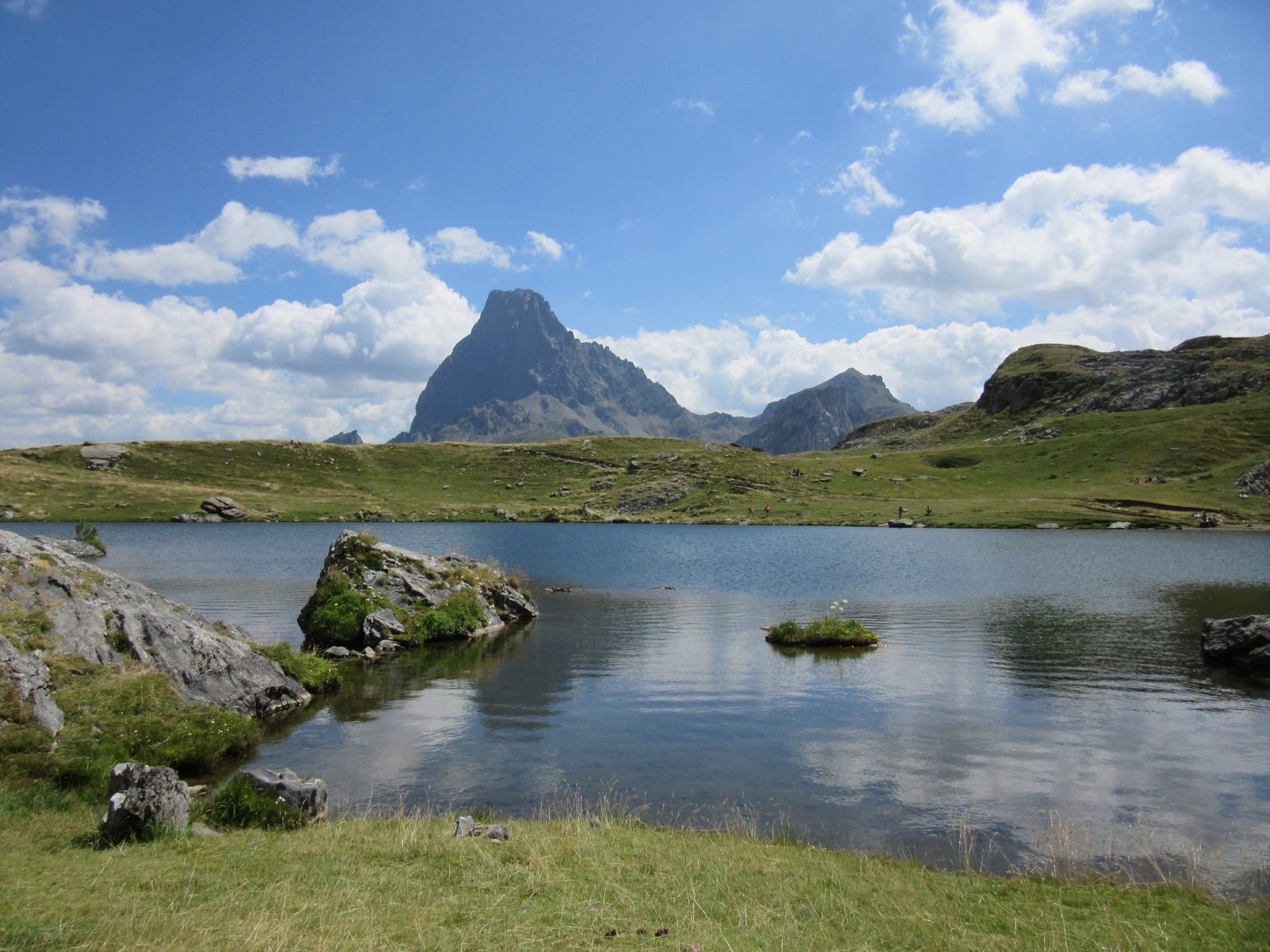
From the Lac de Pombie it was up over Col de Peyreget and down past Lac de Peyreget. I'd camped by Lac de Peyreget in 2018 - great views of Pic du Midi d'Ossau's best side in the sunset light - but this time the lake looked so shrunken I didn't actually realize that was it... I thought it must be further on and didn't stop to take a photo. Stopped for lunch beside Lac Casterau (mobbed, as was Ibon del Escalar).
Then it was down to the weird grounded alien mothership of Astun. Had a quick ice-cream and coke, then marched down the tarmac to Candanchu.
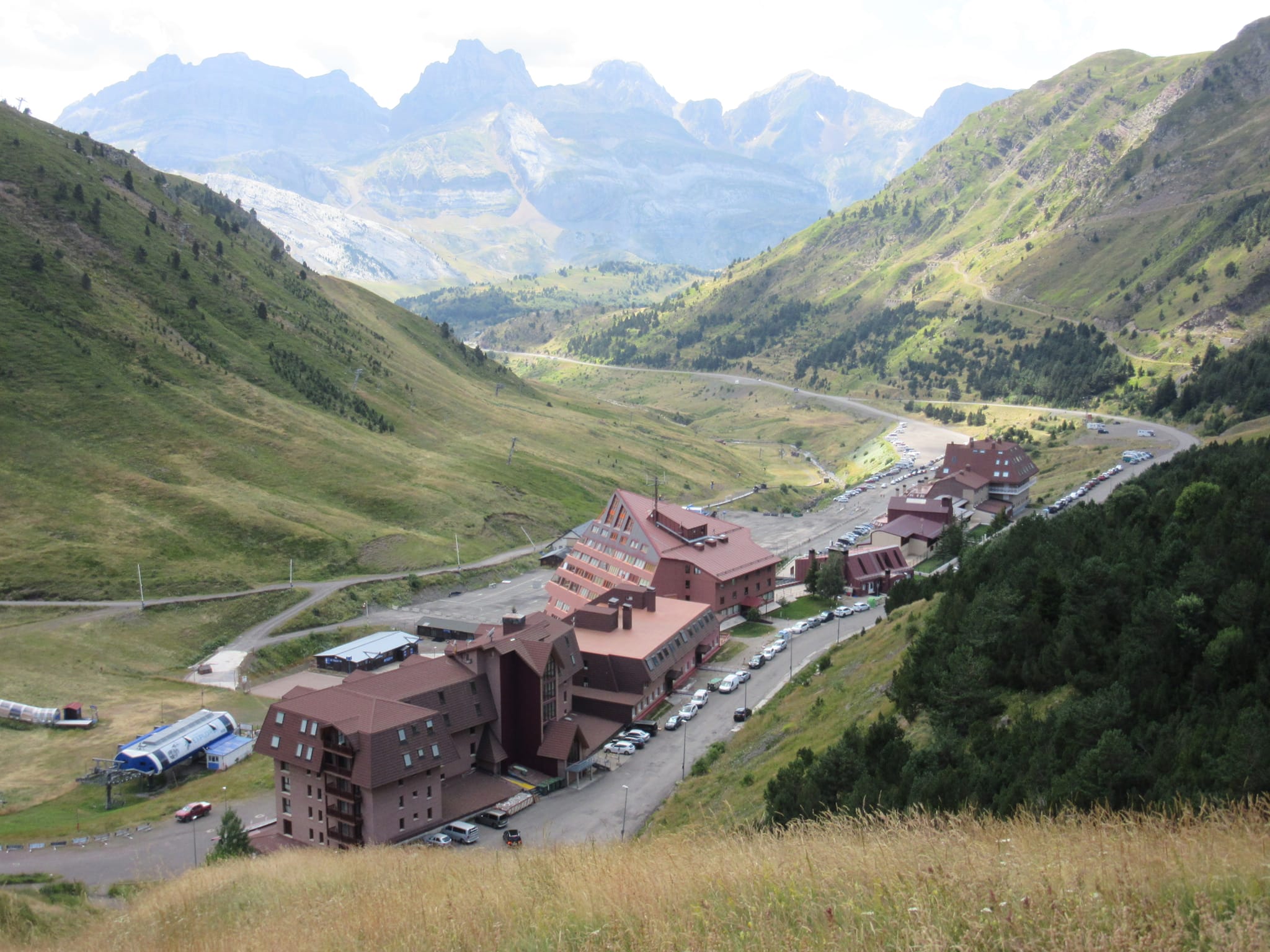
The Candanchu "El Bozo" supermarket is small but very good! I stopped for a burger at the nearby "Bar Nevada" and had just sent a comment to someone that out of season ski resorts feel a bit like UK out of season seaside resorts, but with better weather... when thick fog rolled in. I headed on with no real idea when or where I was going to stop, but unsurprisingly ended up besides the Ibon de Astanes. This was all in very thick fog, which was a shame as I remember it having an impressive backdrop. I also remember this lake being full when I camped beside it in 2018, but now its level seemed much reduced.
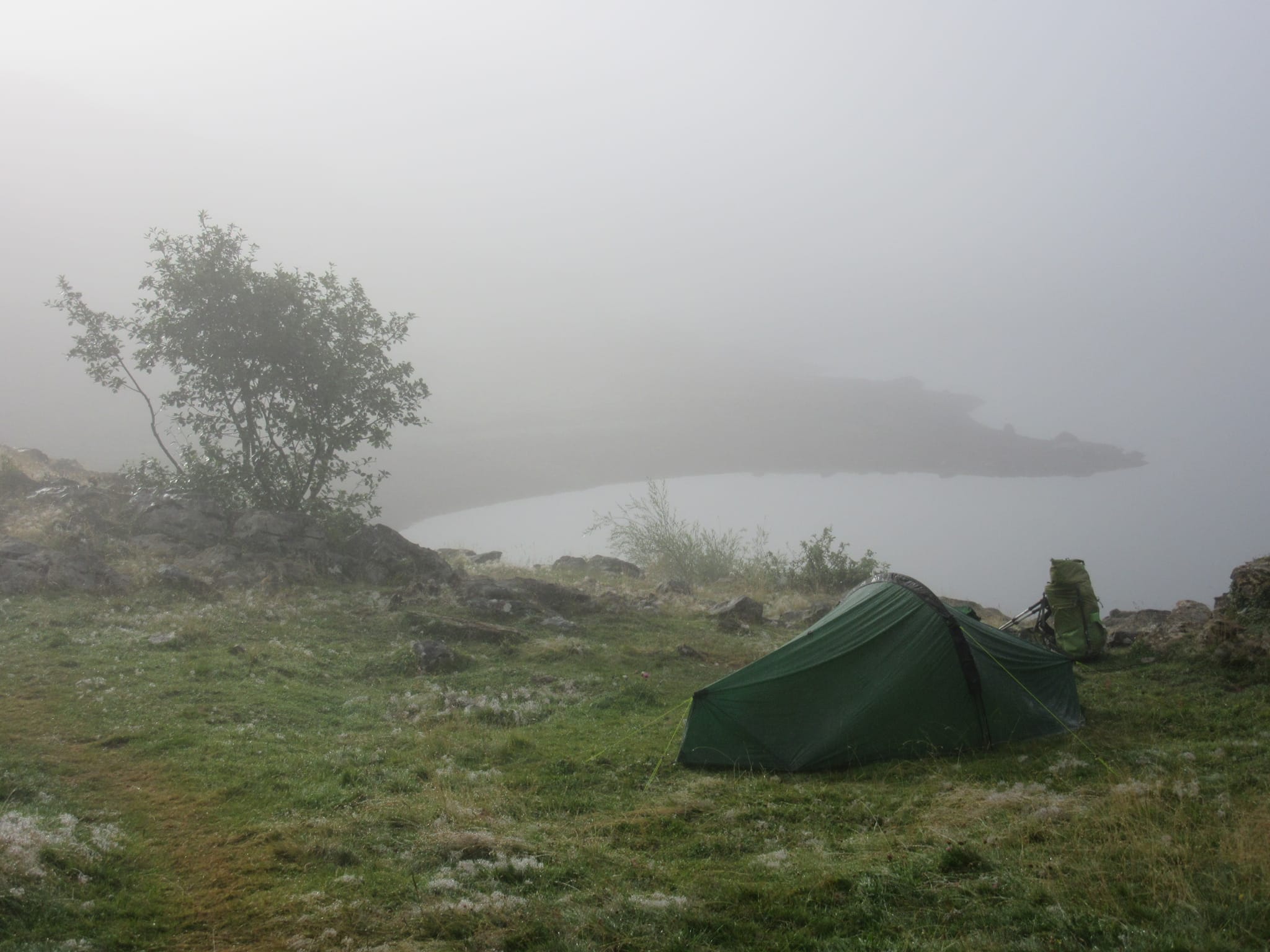
Through thick fog to camp besides the Ibon de Astanes.
Day 32: Ibon de Astanes to Punta O Risté
The fog persisted, but occasional hints of blue sky and sun. There was one brief clearance on the way to Refuge d'Arlet, revealing the great sweep from Pic du Midi d'Ossau to whatever all the stuff behind Candanchu is. I bumped into another member of Tom Martens' HRP Facebook group, eastbound, and finally got the second hut omelette of the trip at Refuge d'Arlet.
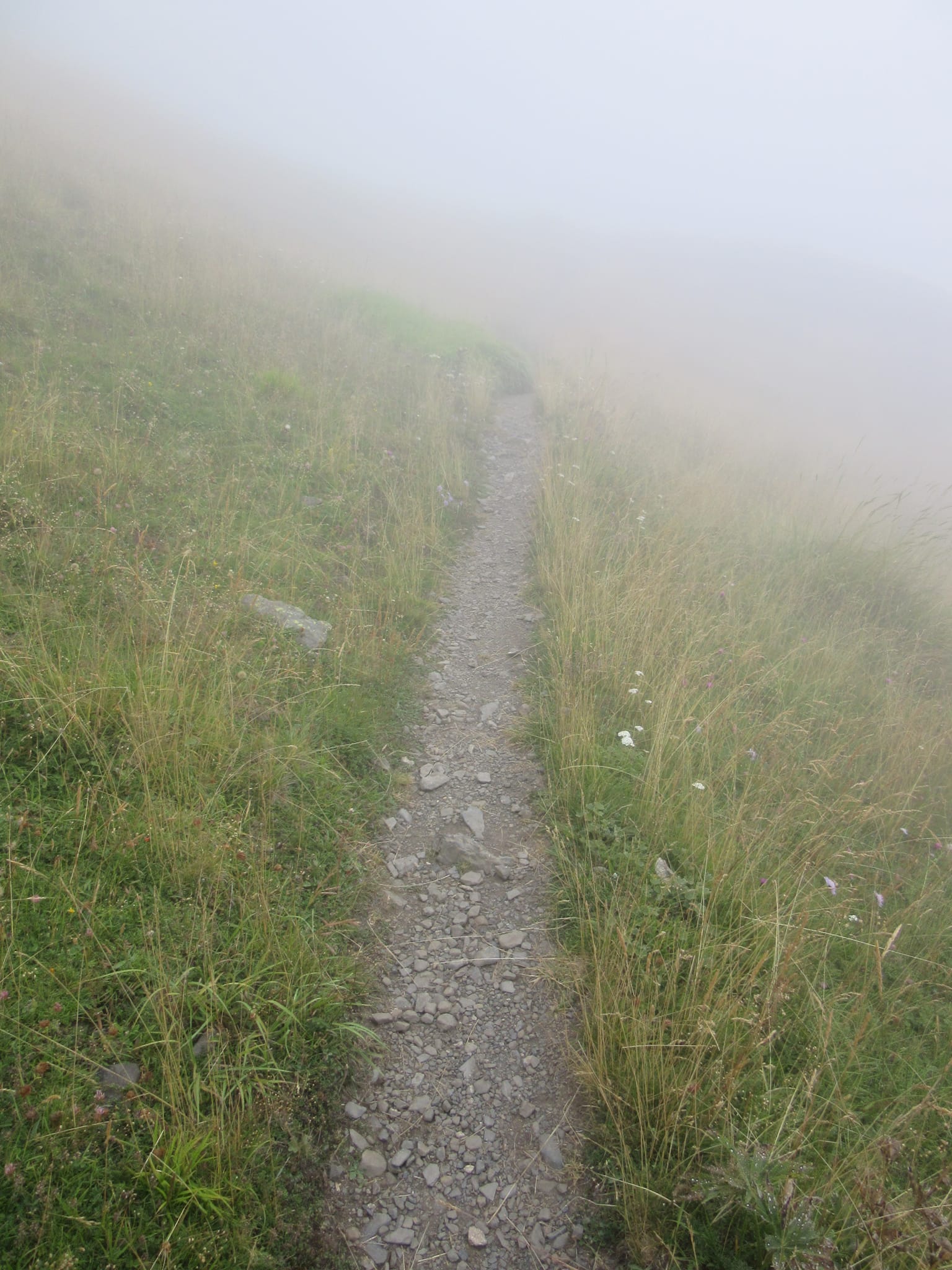
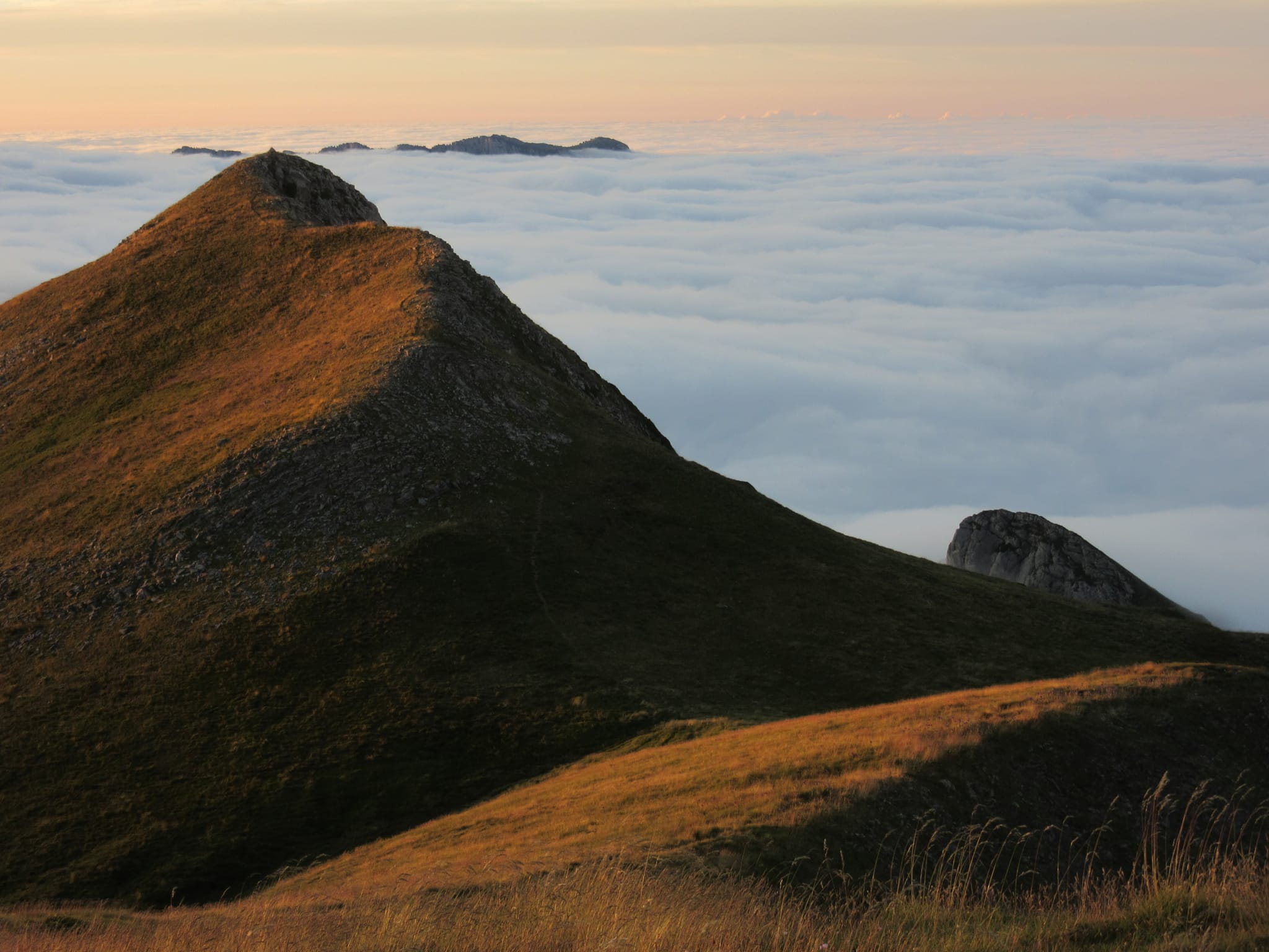
Visibility finally improved in the afternoon - along the "Le Chemin de la Liberté" section - with the French side of the ridge being a sea of cloud and the Spanish side clear.
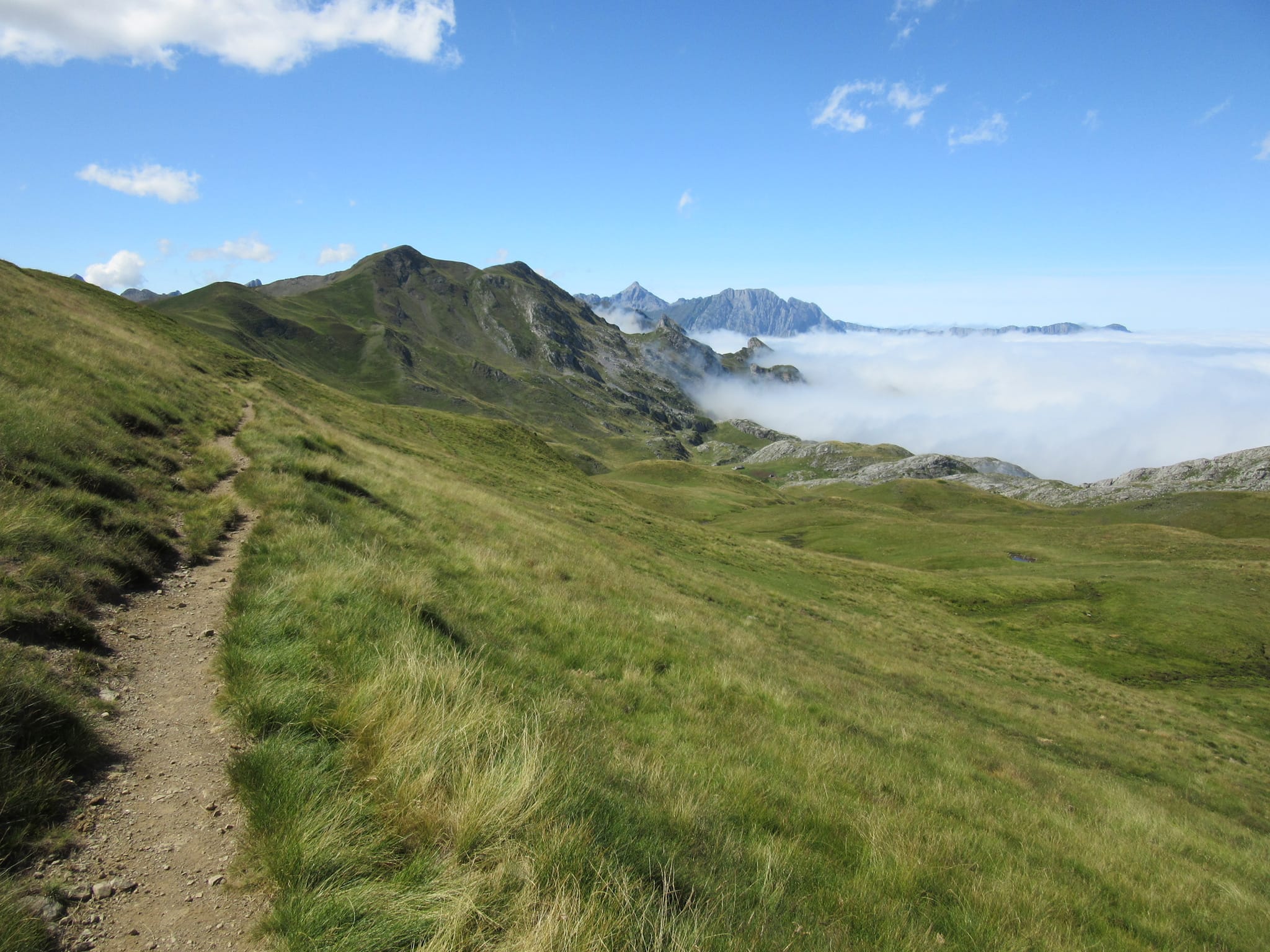
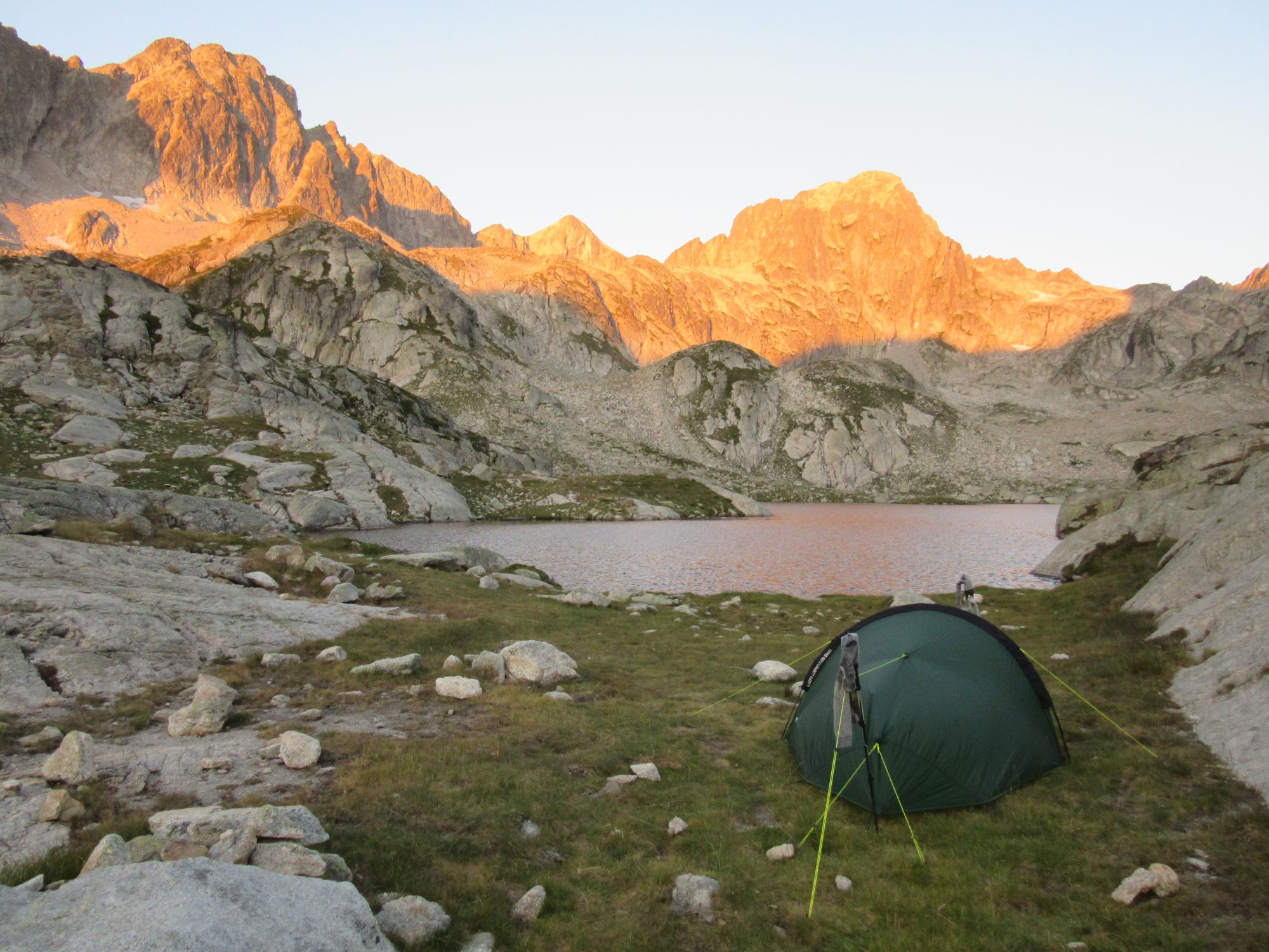
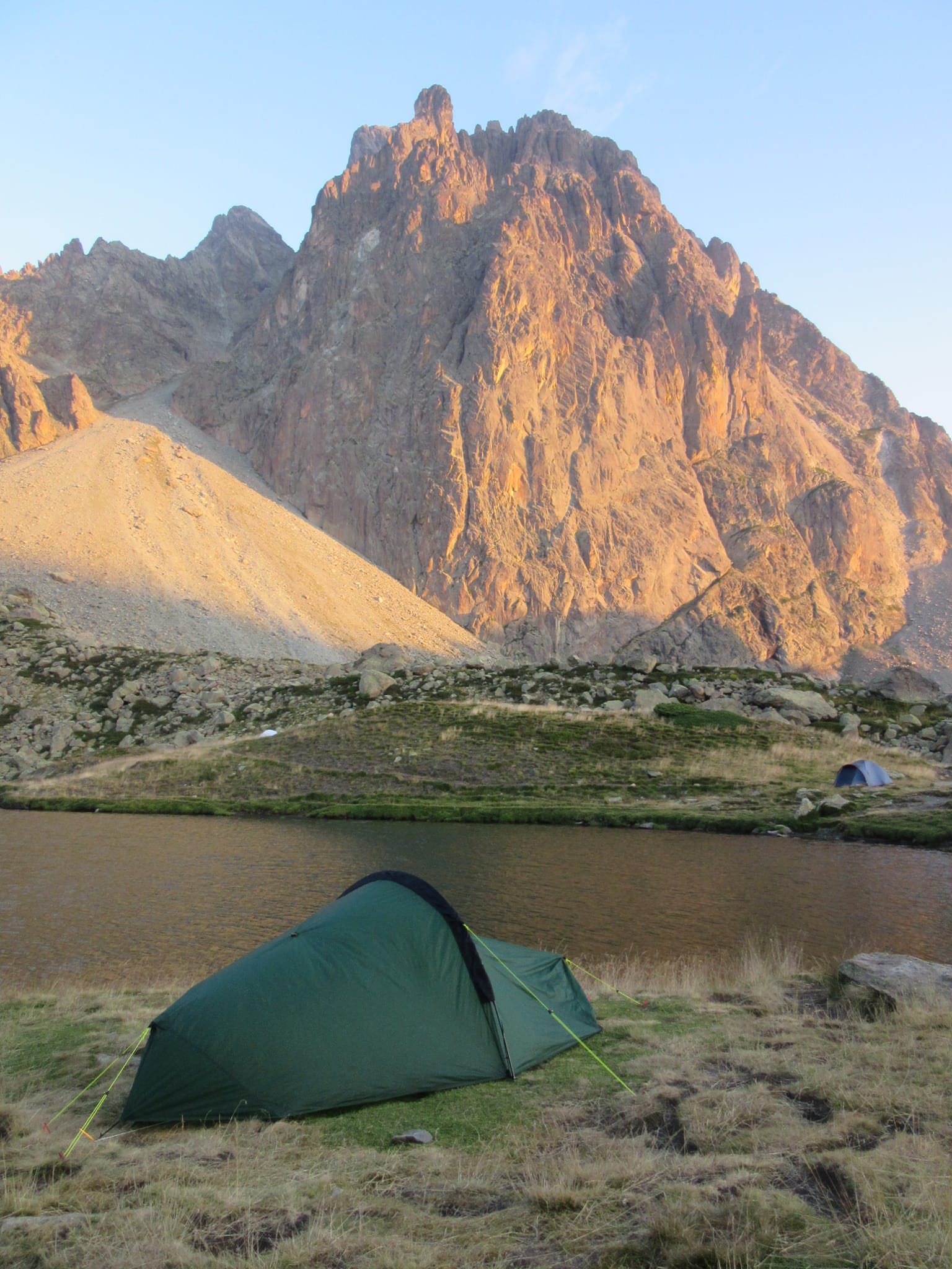
There was no way I was missing a chance to camp high above that, so approaching Pic de Burcq some water was filtered from a pretty manky looking pool and a reasonably flat and un-thistly pitch was located... on top of Punta O Risté adjacent to (and slightly higher than) Pic de Burcq (which was inspected, but too rocky). A fine sunset was enjoyed.
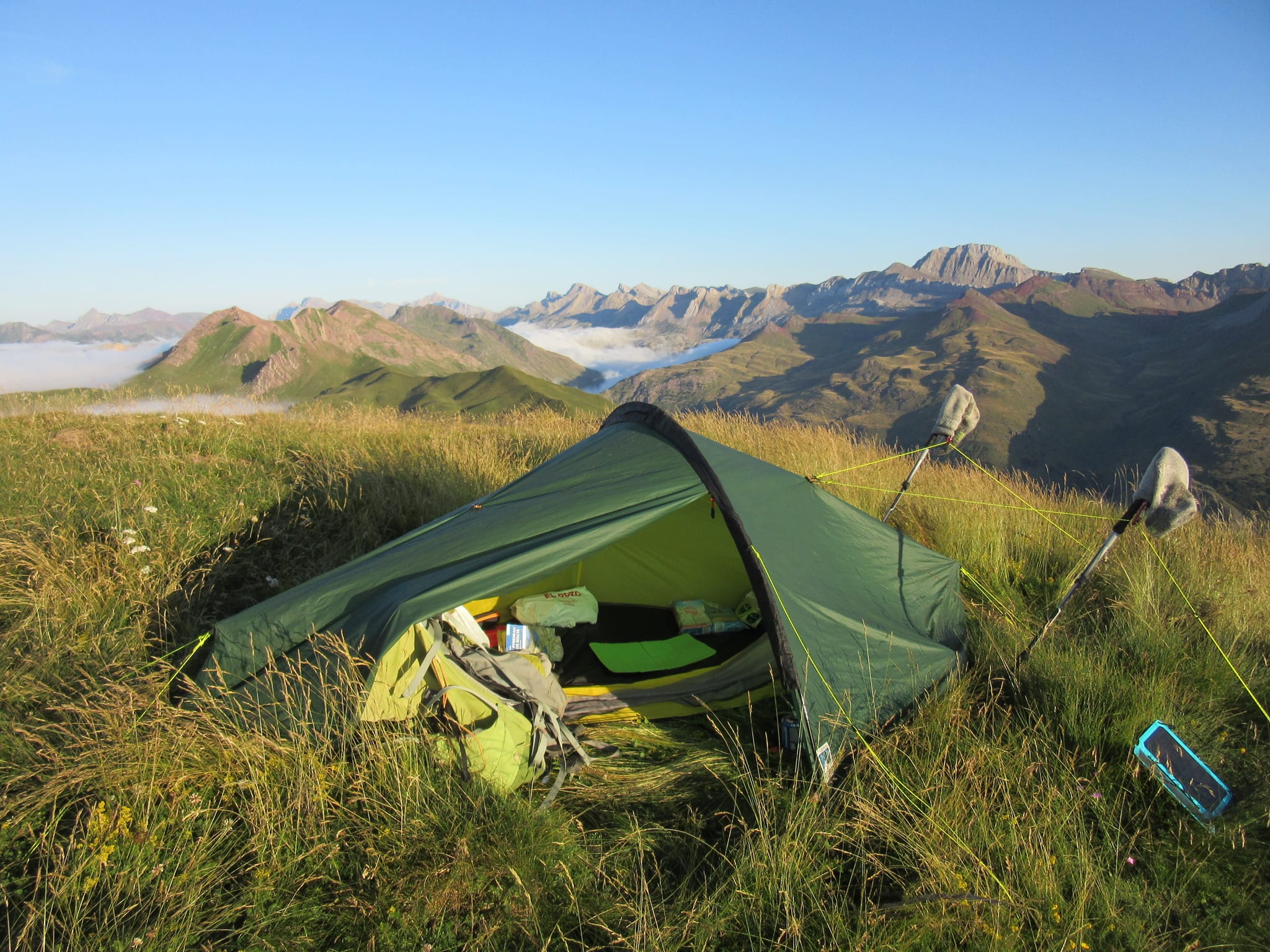
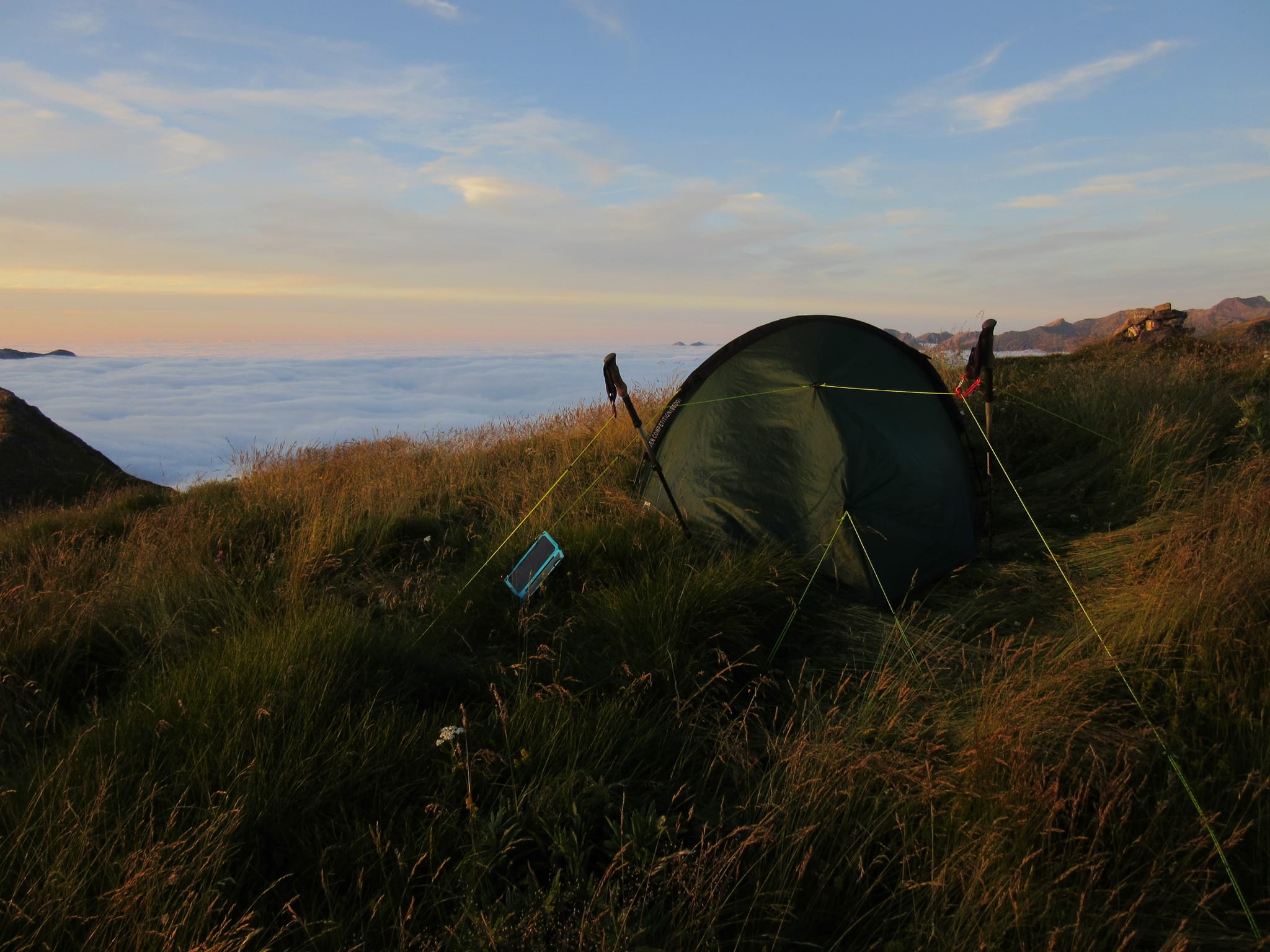
Camped above the clouds on Punta O Risté above Lescun.
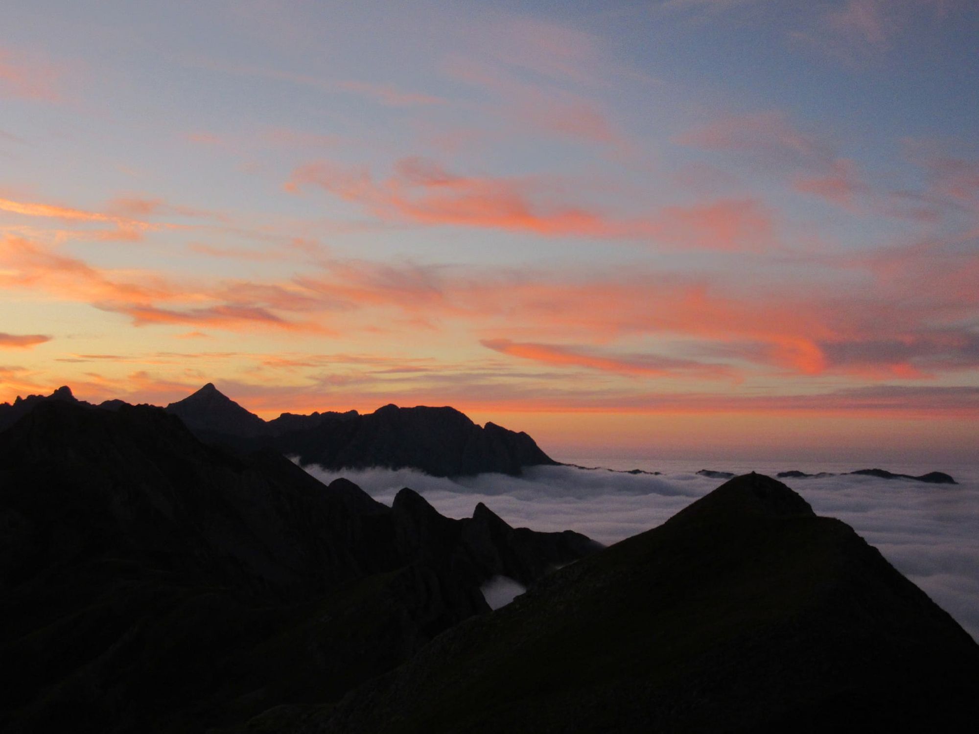
Sunset from Punta O Risté above Lescun.
Day 33a: Punta O Risté to Lescun
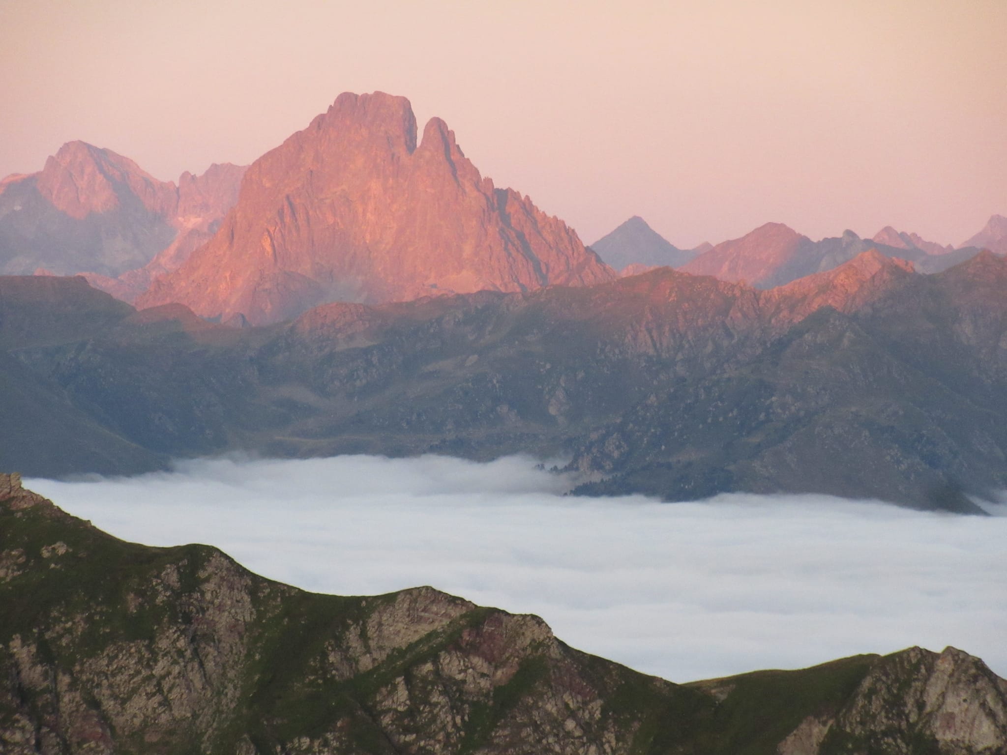
Woke to find that while I was still above cloud over France, it had retreated from the ridge and Lescun was clear.
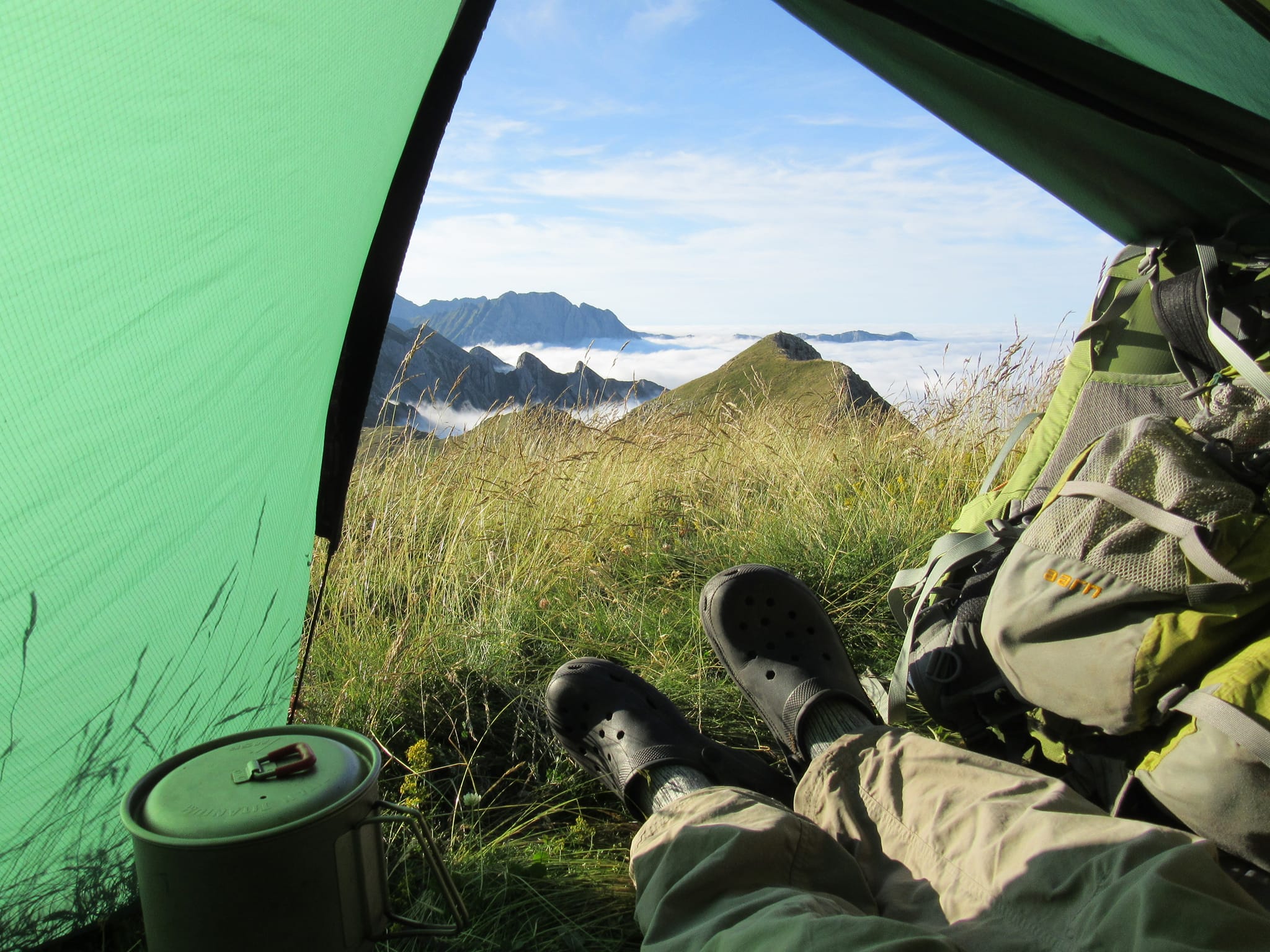
Camped on Punta O Risté in the morning.
Whizzed down to Lescun because I knew the shop was closed for a chunk of time from middayish and I didn't want to hang around. A sign at Col de Pau said it was 2hr30min to the car park... I was there in 80 mins, it was easy to go fast downhill on the dirt track. I got to Lescun in plenty of time for a bit of shopping (the muesli still had chocolate in it, went crazy and bought a Camembert) and a long lunch at the epicerie too.
The final stage to Hendaye is described here.