October 2025: Blair Atholl to Aviemore high level
A five nights out trans-Cairngorm trip during a spell of fantastic weather.
A five nights out trans-Cairngorm trip during a spell of fantastic weather, camping at 900m+ every night.
This trip was primarily motivated by a need to bag the remote pair of Munros Carn an Fhidhleir and An Sgarsoch - the only two remaining Cairngorm Munros still left for my second round - and also the Munro Top of Bynack Beag which I had somehow never managed to visit (not one I remember or recorded anyway). But the promise of some high camps - including the chance of one on Ben Macdui - in perfect conditions was at least as much of an attraction.
Day 1: Blair Atholl - Beinn Dearg
After what felt like weeks of storms continuously rolling in across Scotland the forecasts had finally delivered a promising looking break. I got off the train a little after midday at Blair Atholl on Friday 10th October.
From the train station, I made my way up the River Tilt and then climbed to pass by the rifle range - which was noisy as it was a day for "long range" shooting - and along the track beside the Allt Slanaidh. With the late start (and sunset comes early at this time of year), that seemed to be a shorter, quicker route for getting higher up on Beinn Dearg than the alternative of heading towards Glen Bruar and passing the Allt Scheicheachan bothy. It also eliminated the possibility of being tempted to stop in the bothy instead!
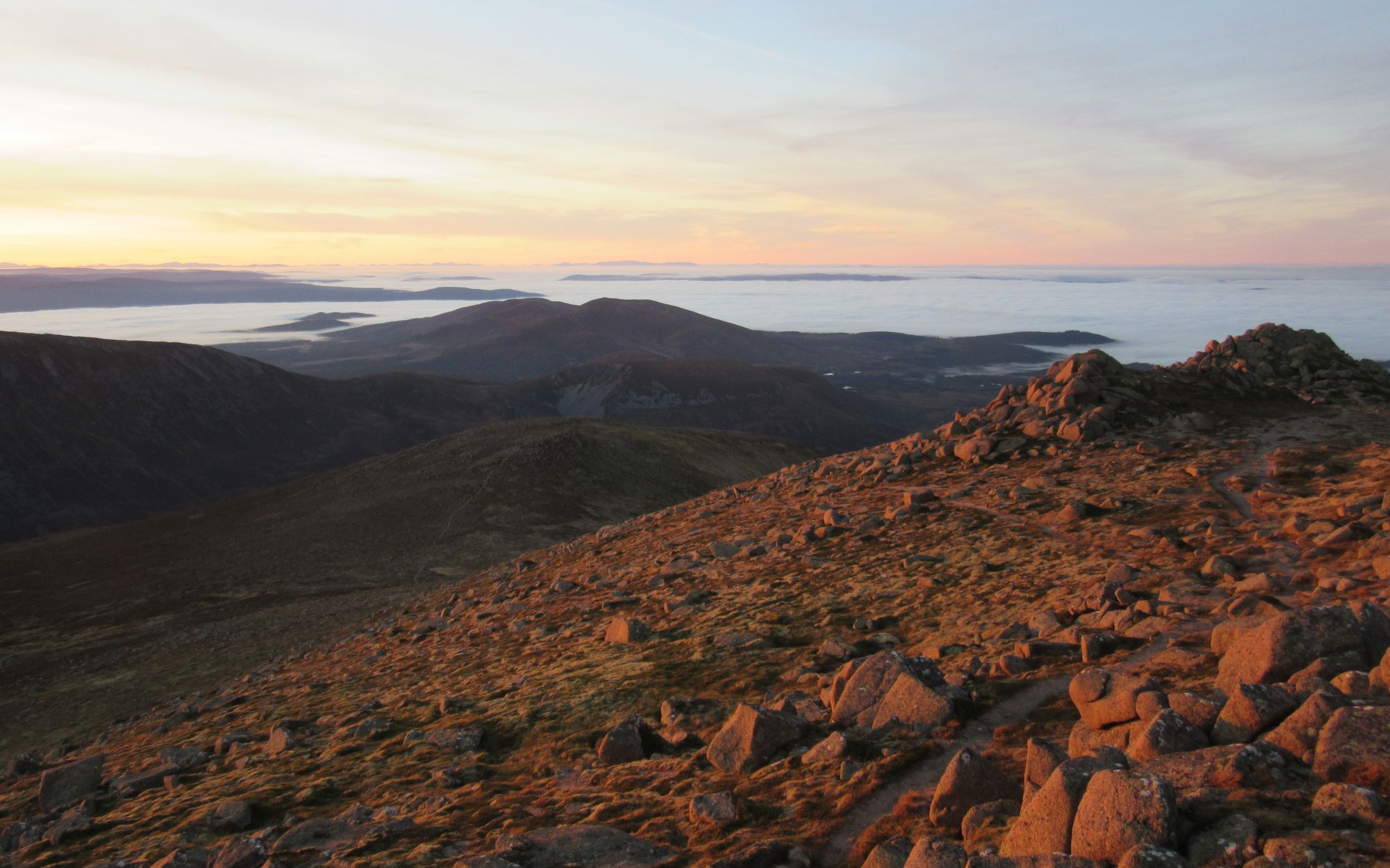
Views from the climb towards Beinn Dearg summit.
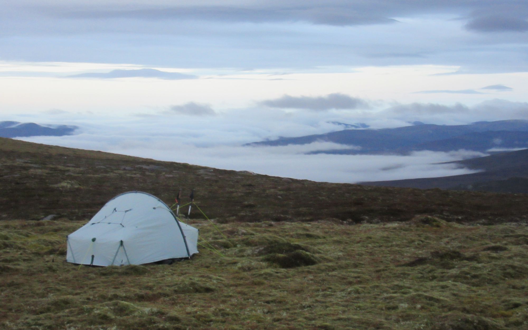
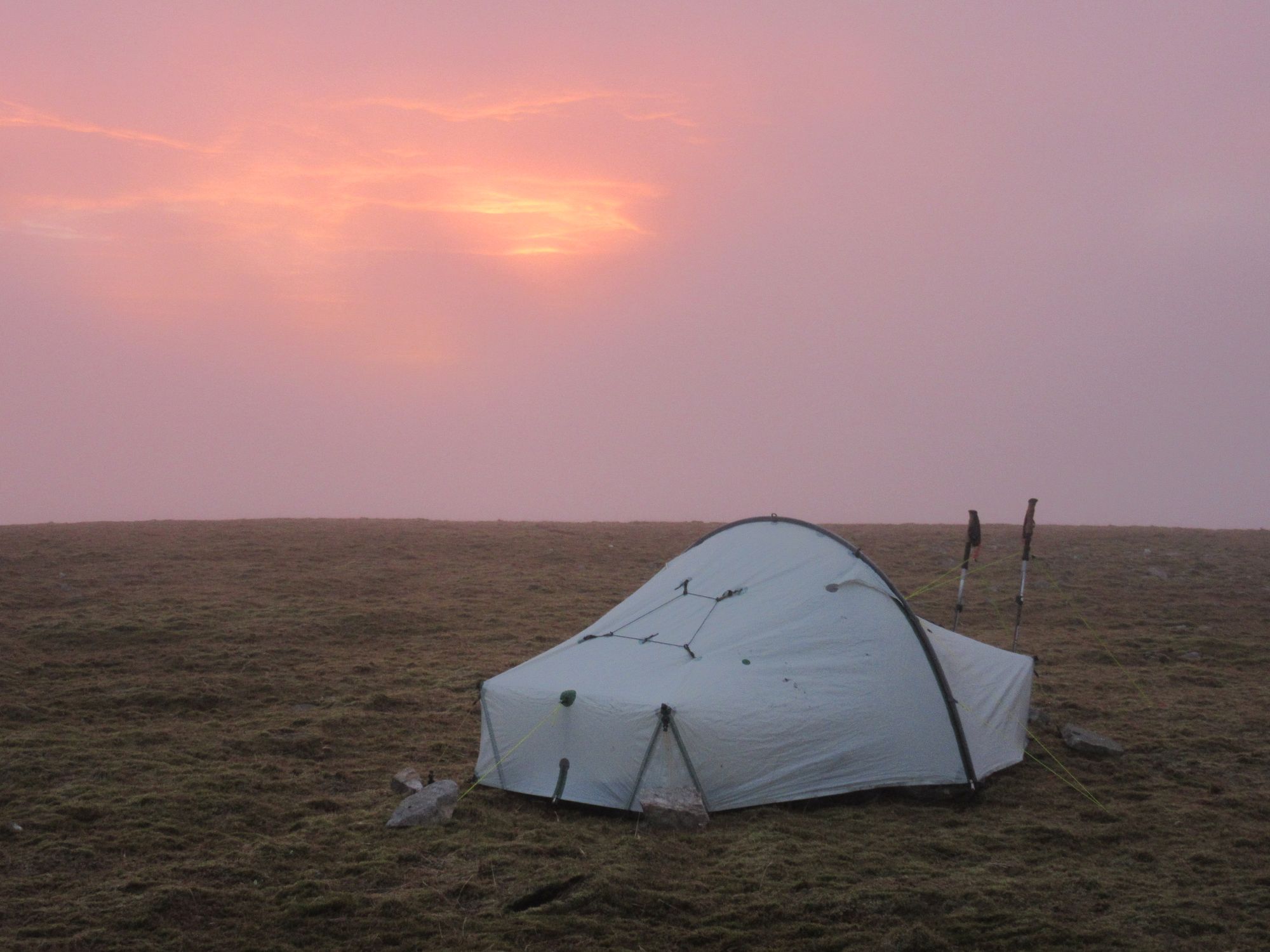
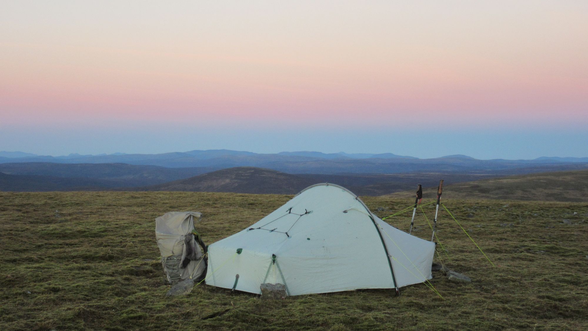
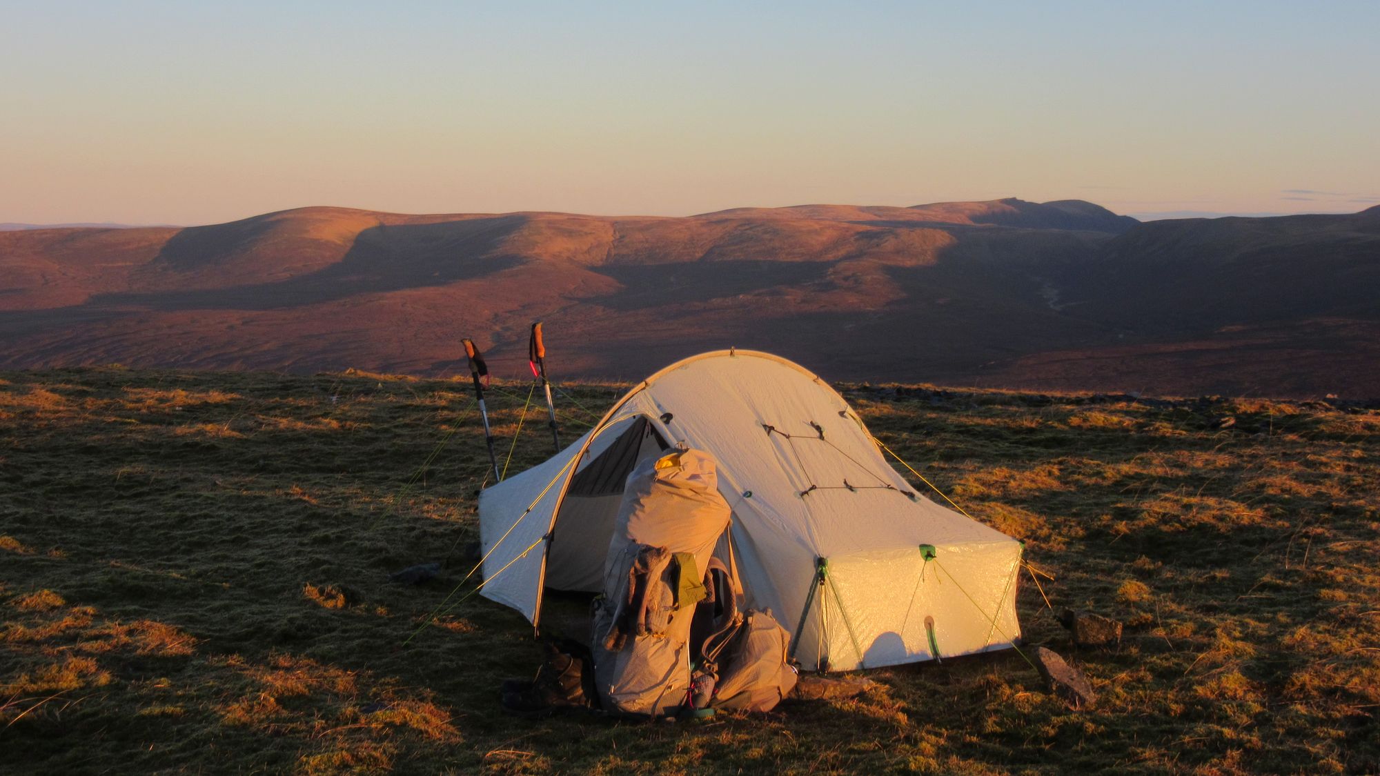
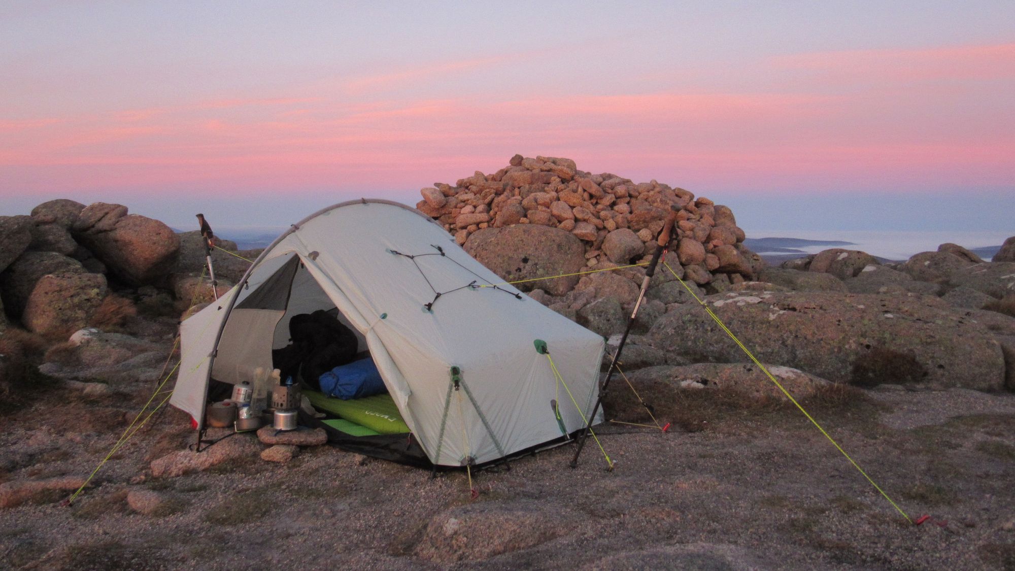
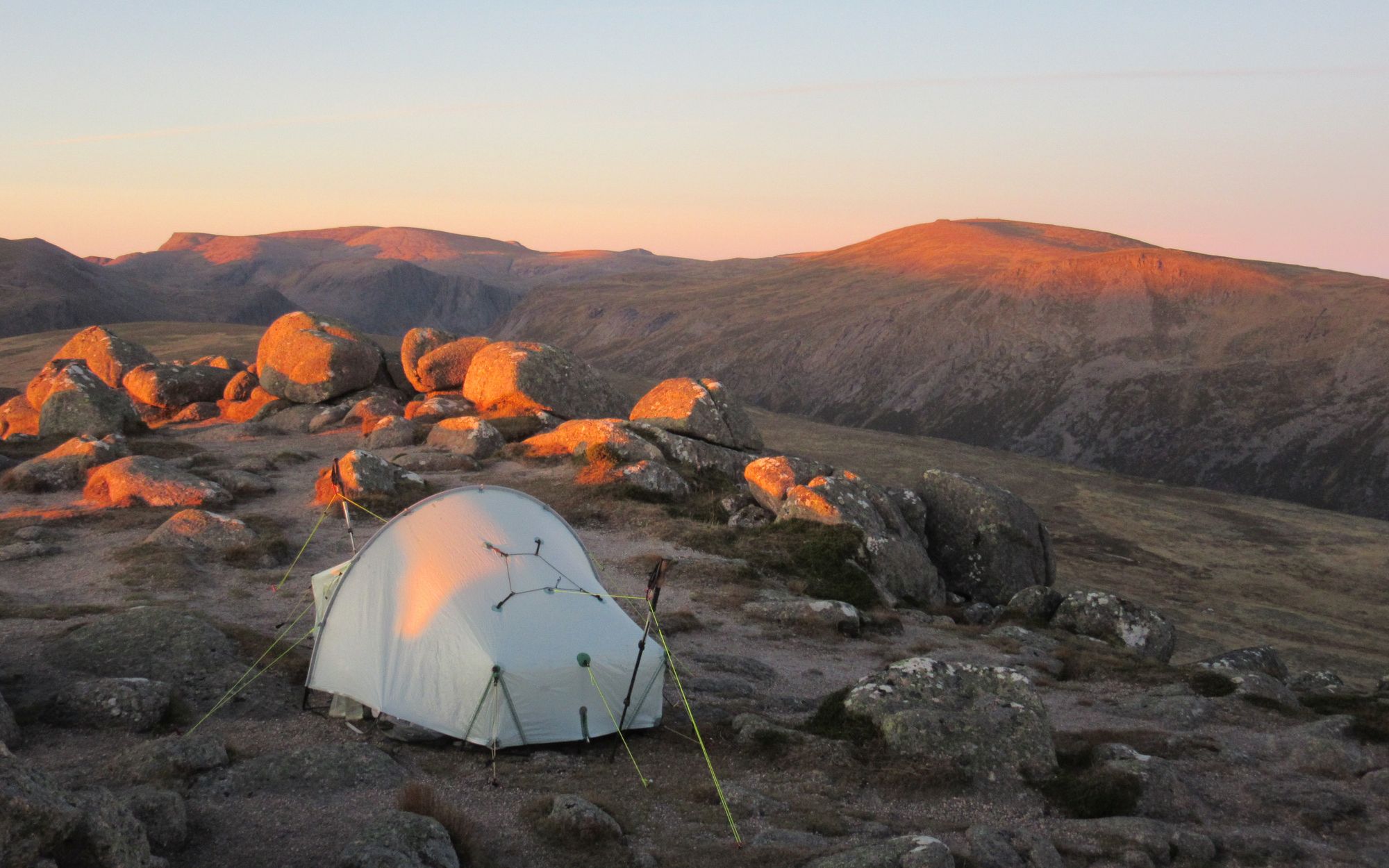
I drew some water for a camp when I crossed the Allt Scheicheachan (the bothy being a couple of km downstream) and got stuck into the final haul up. Beinn Dearg I remember as being quite rocky on top, so I opted to stop at ~920m on the flat grassy (and dry!) dip just north of Sliabh na Cloiche Moire.
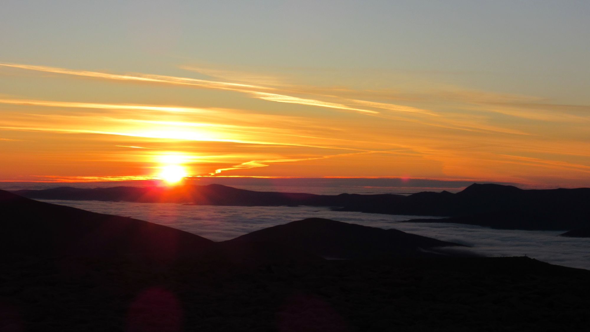
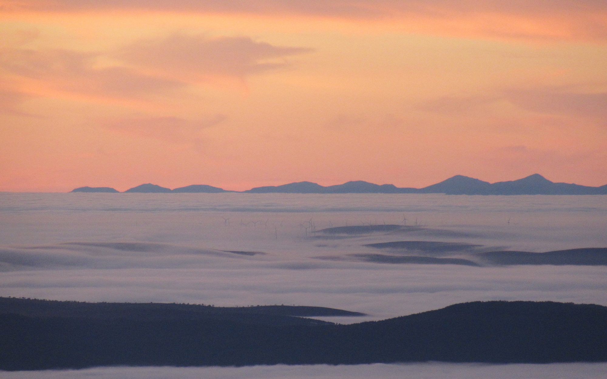
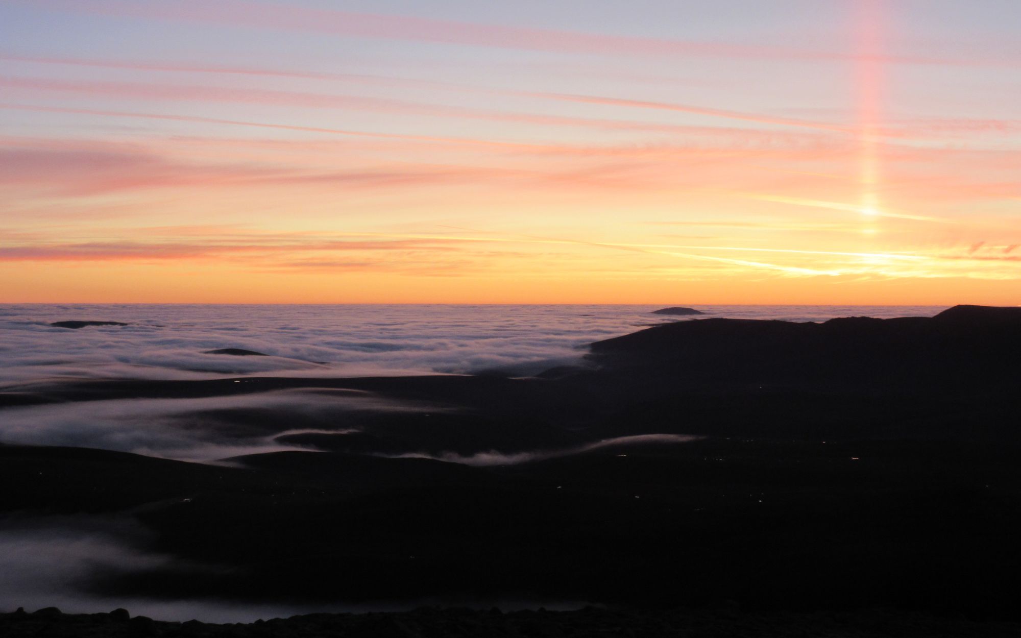
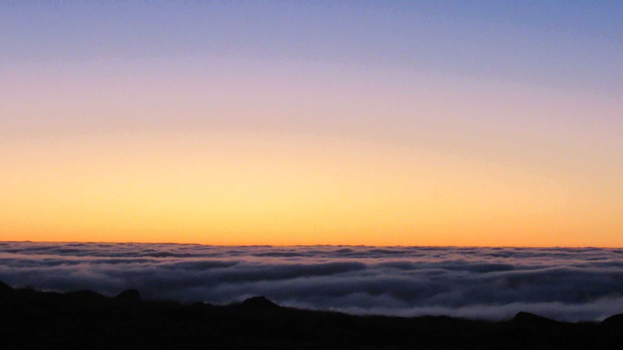
It was quite breezy, and cloud eventually blew in as the sun set.
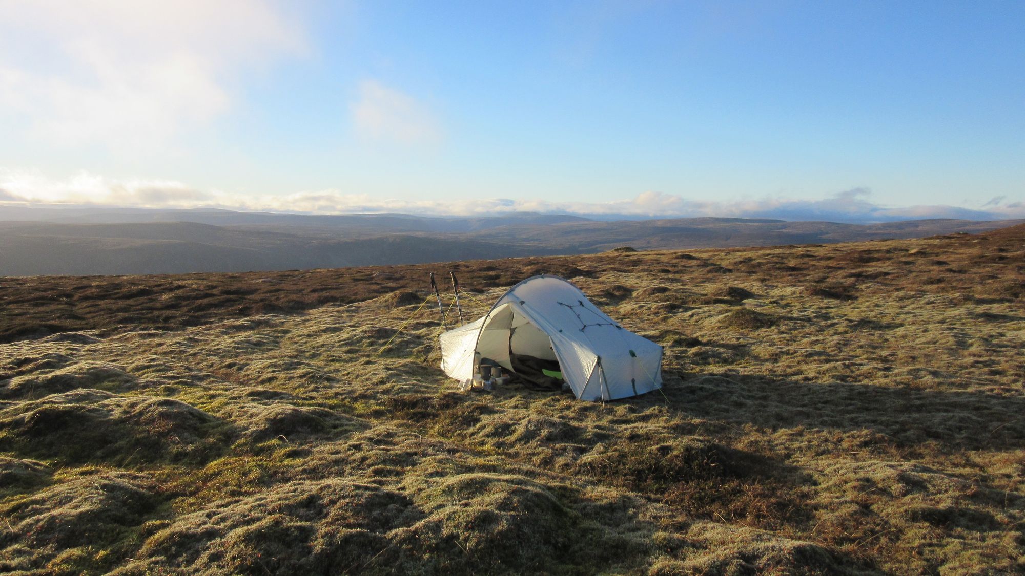
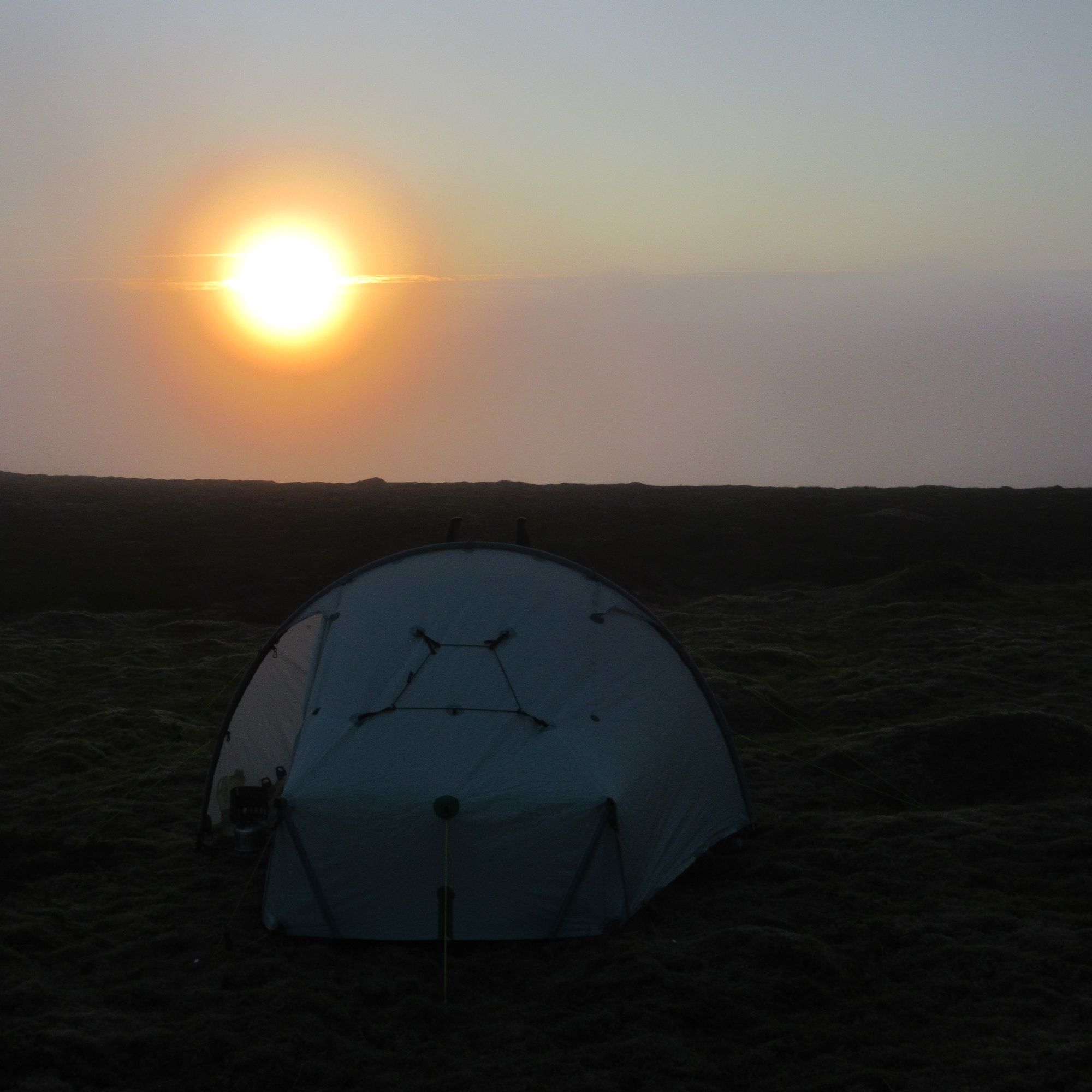
Beinn Dearg summit camp views.
Day 2: Beinn Dearg - An Sgarsoch
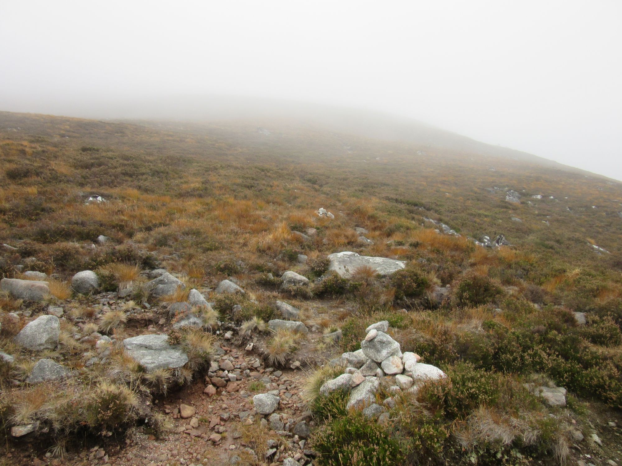
Cloud was coming and going next morning.
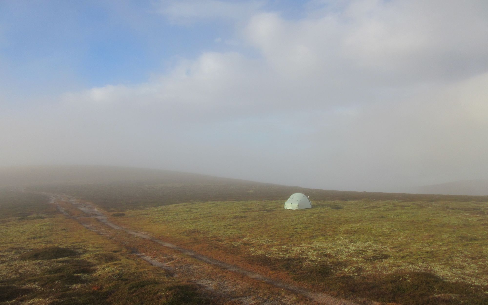
Camped on Beinn Dearg in the morning.
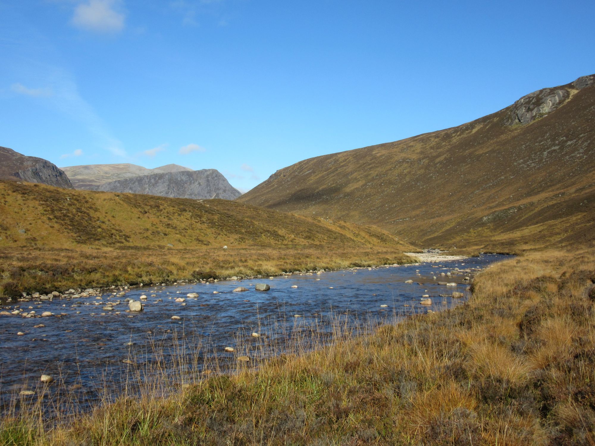
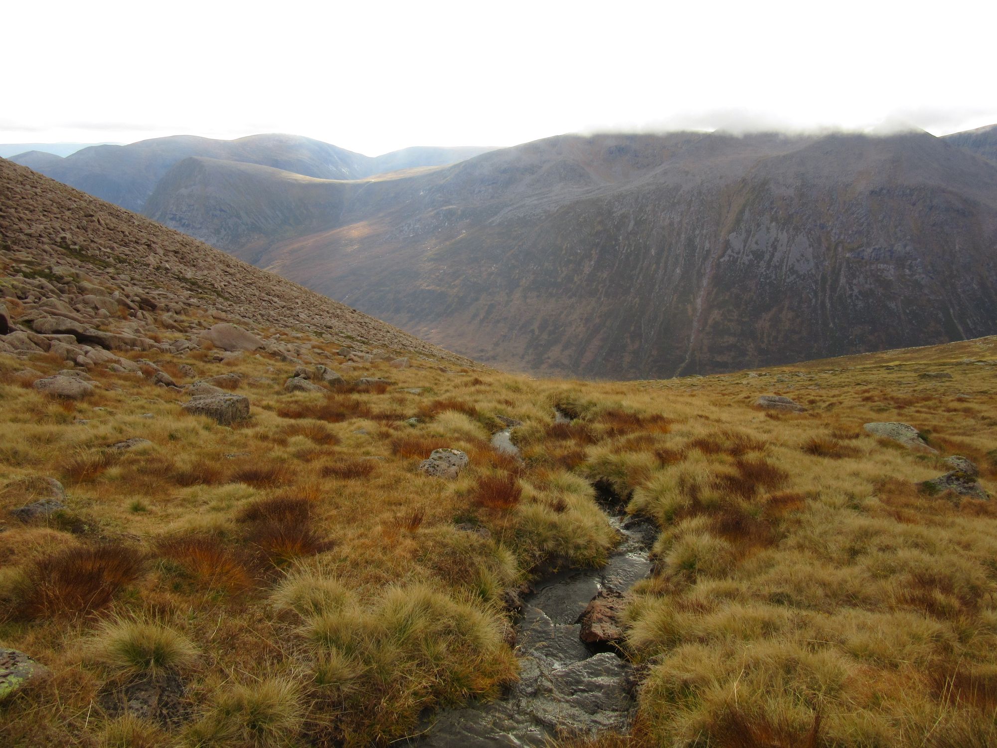
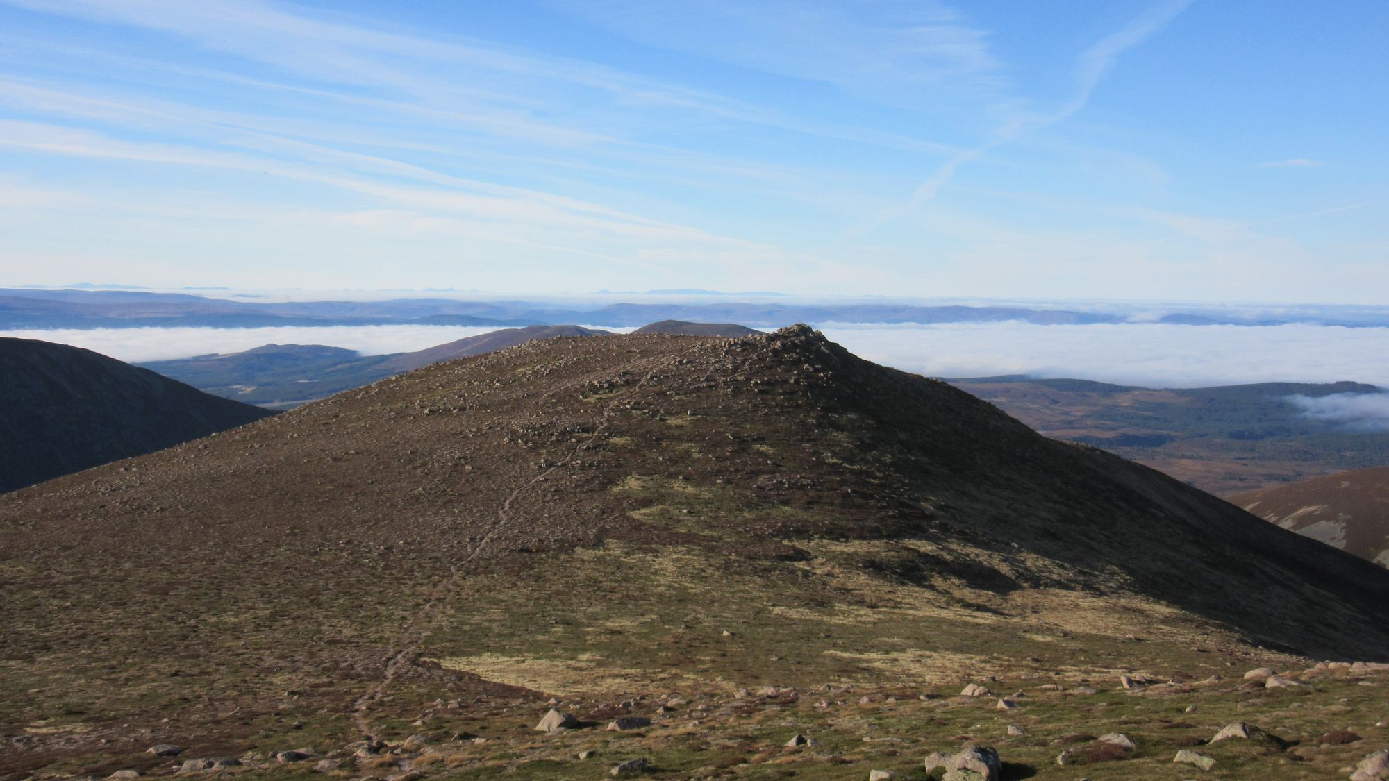
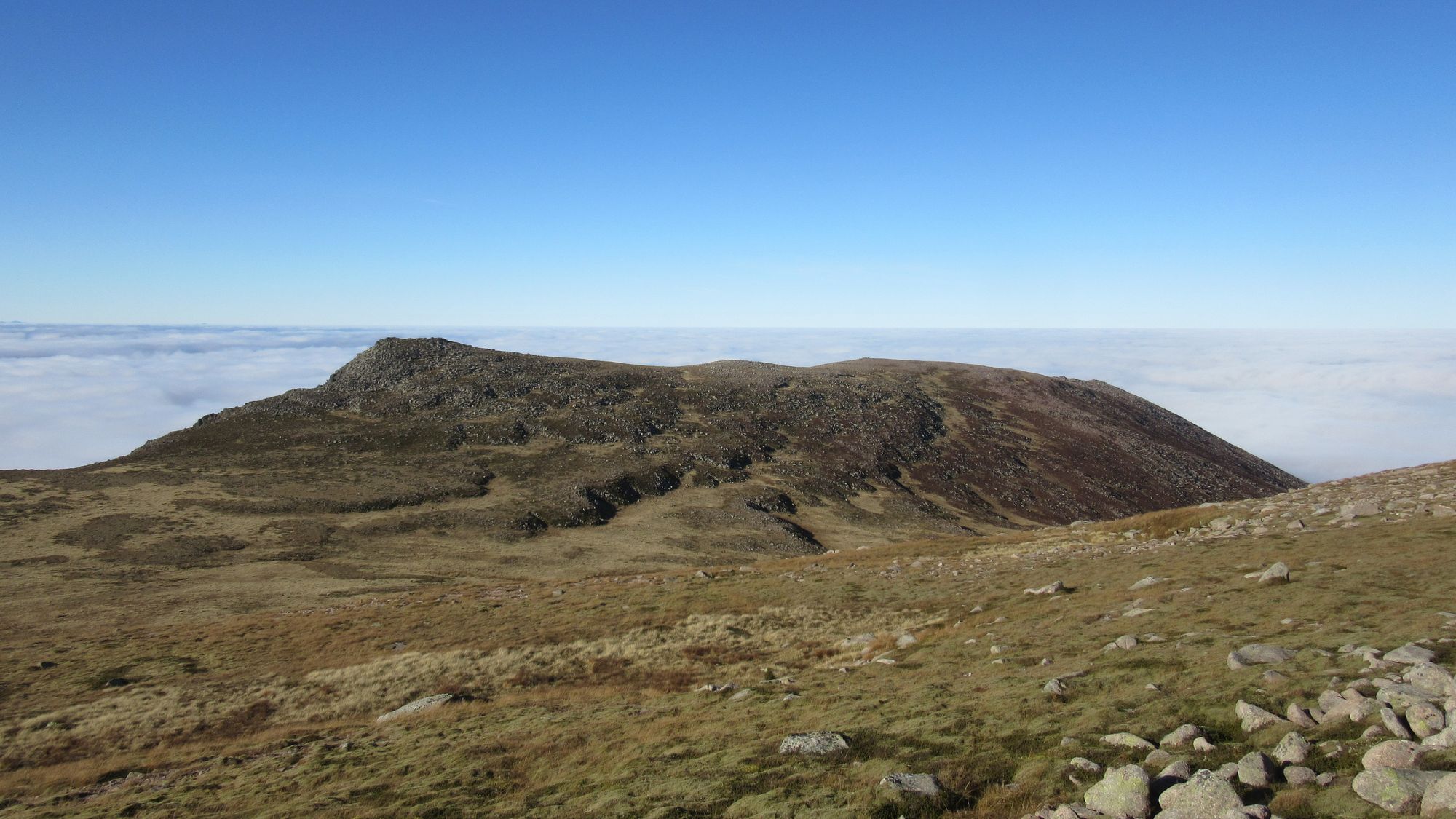
I climbed up to Beinn Dearg's summit trig in the clag, but the cloud was lifting nicely as I made my way down towards Beinn Gharbh and then the upper reaches of Tarf Water. The going was rough! Someone in the Tarf bothy once described this whole area to me as "MAMBA country: Miles And Miles of B***er All". The Tarf was easily crossed and I went over Beinn Bhreac (a Corbett) to get onto the high ground extending west from Carn an Fhidhleir.
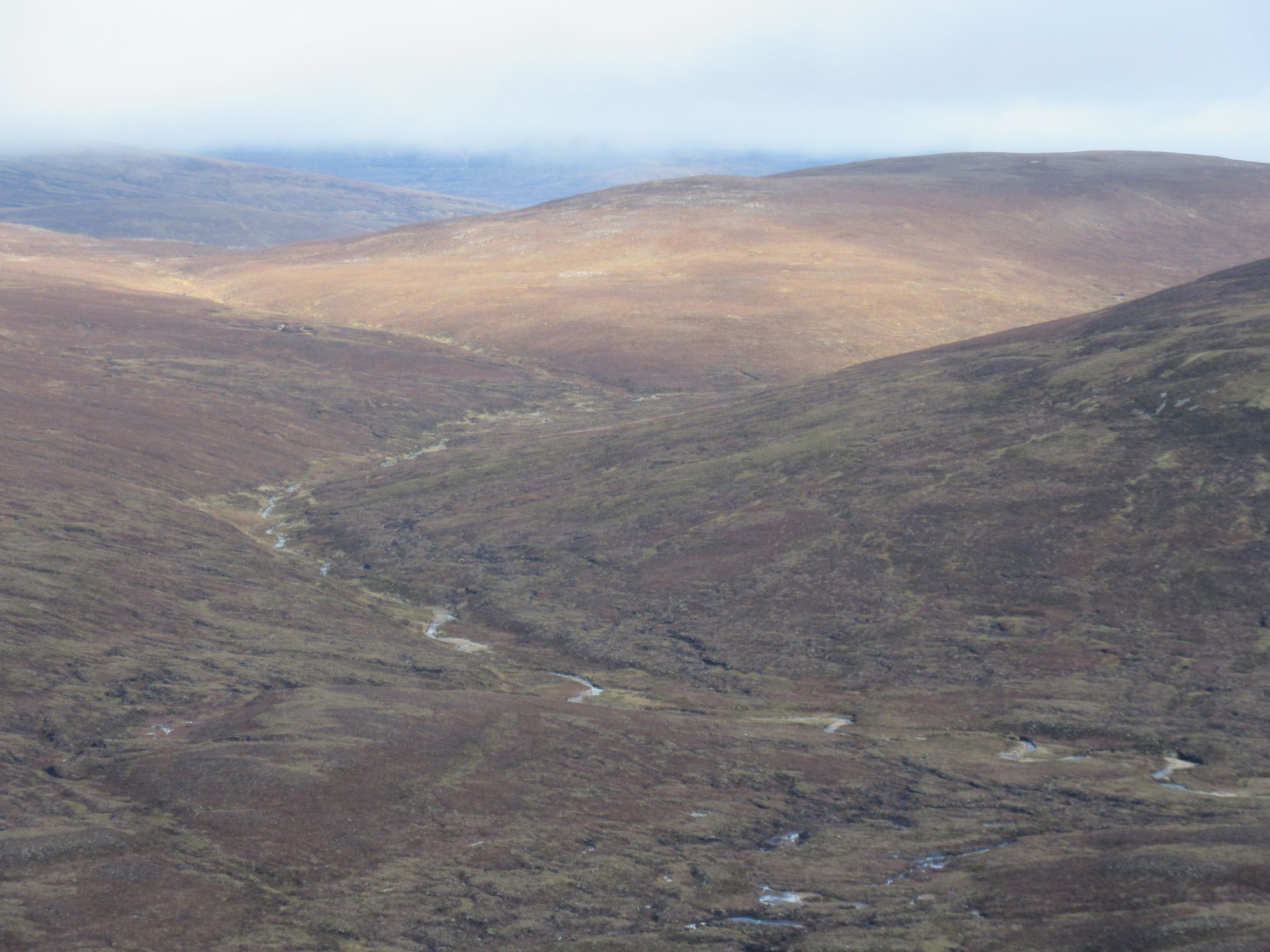
Beinn Dearg to An Sgarsoch.
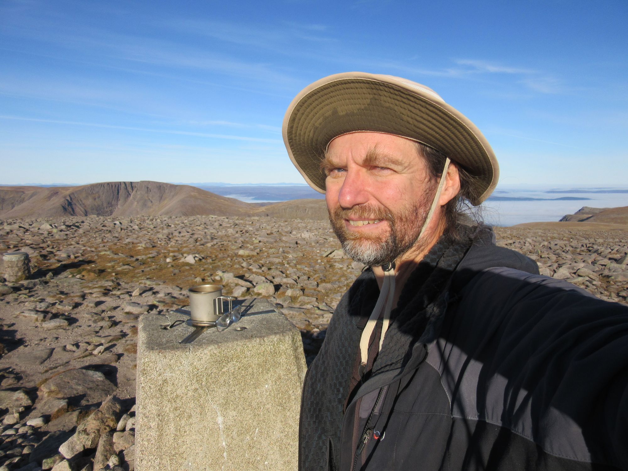
The crossing from Carn an Fhidhleir to An Sgarsoch was as rough and pathless as I remember it being from my first round's visit! There were a few other folks around, who all seem to have cycled in from Linn of Dee to Geldie Lodge.
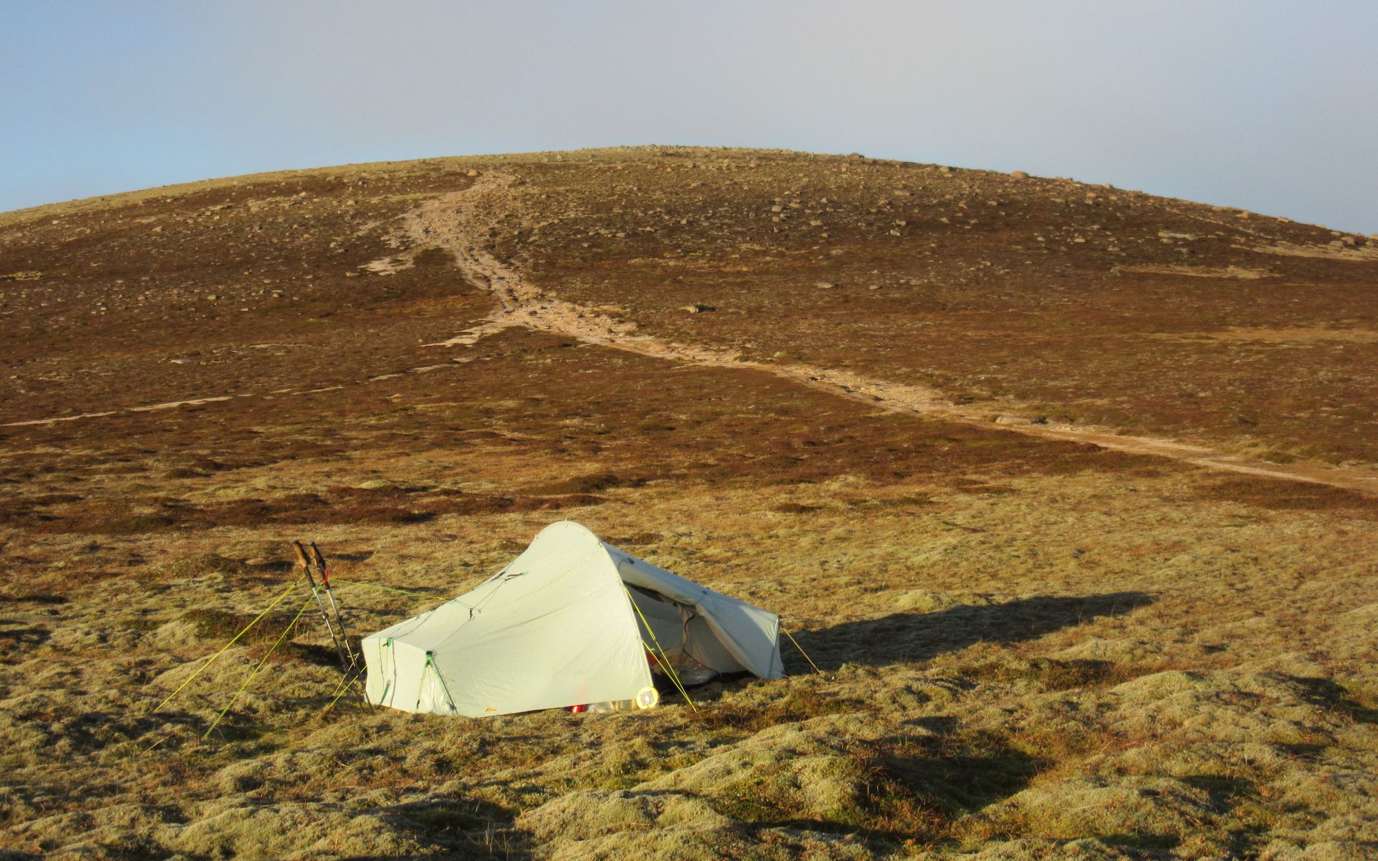
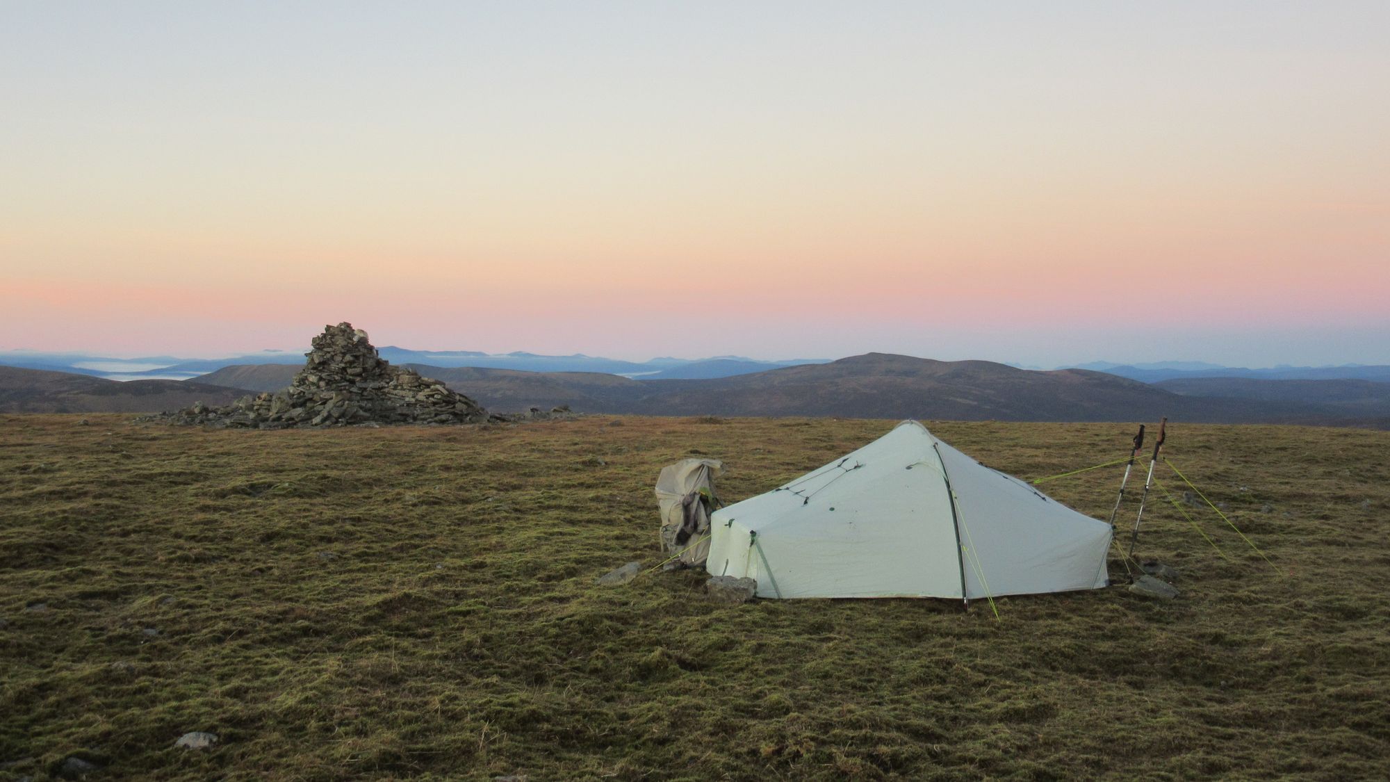
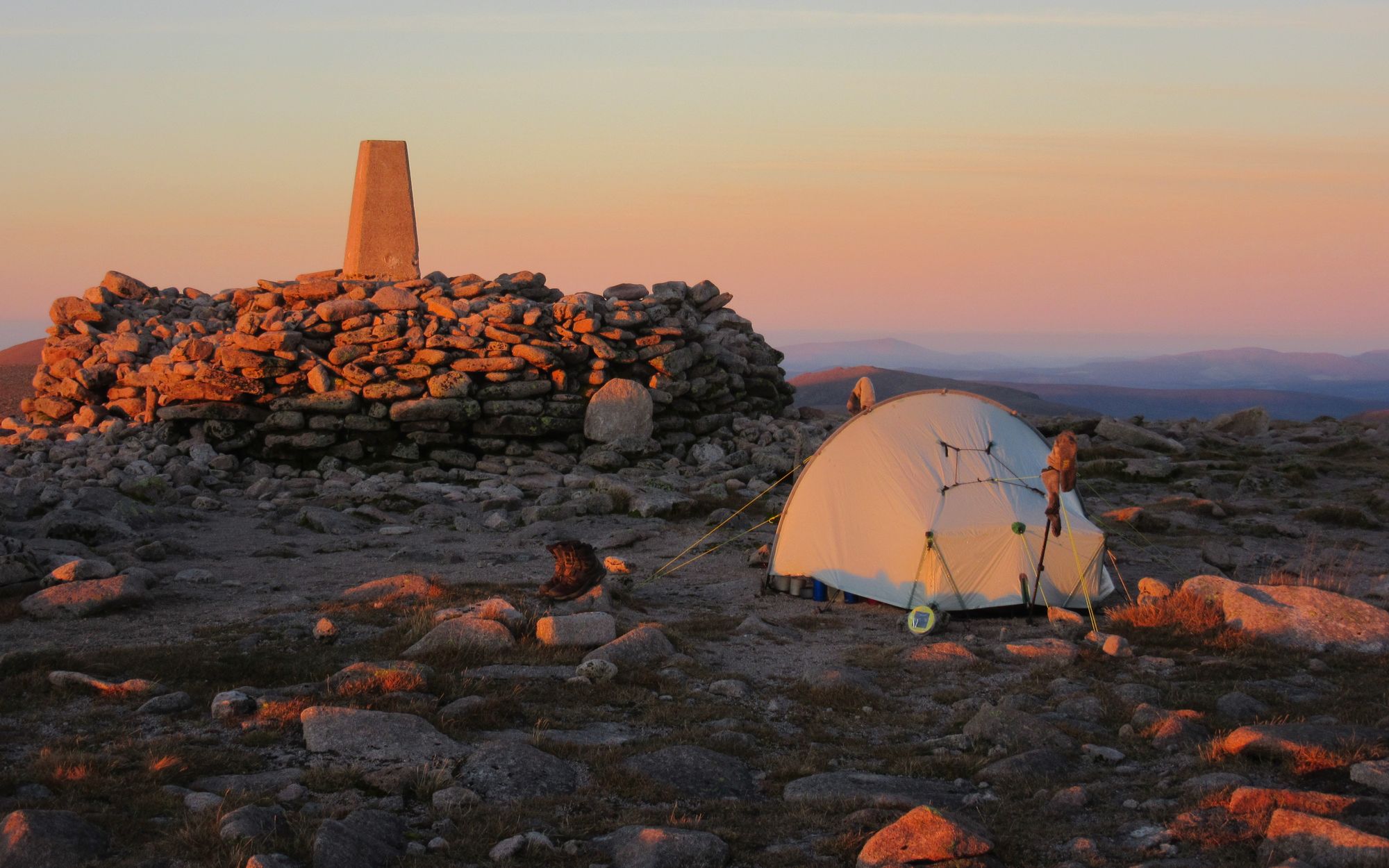
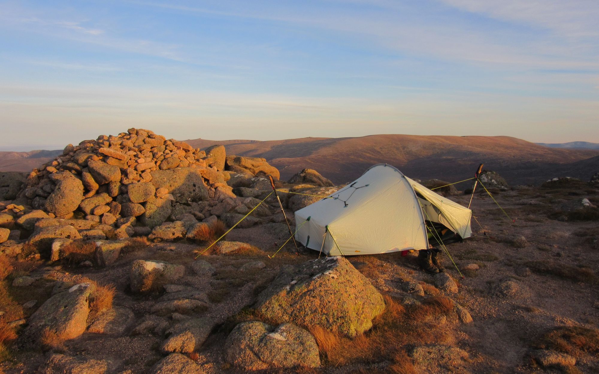
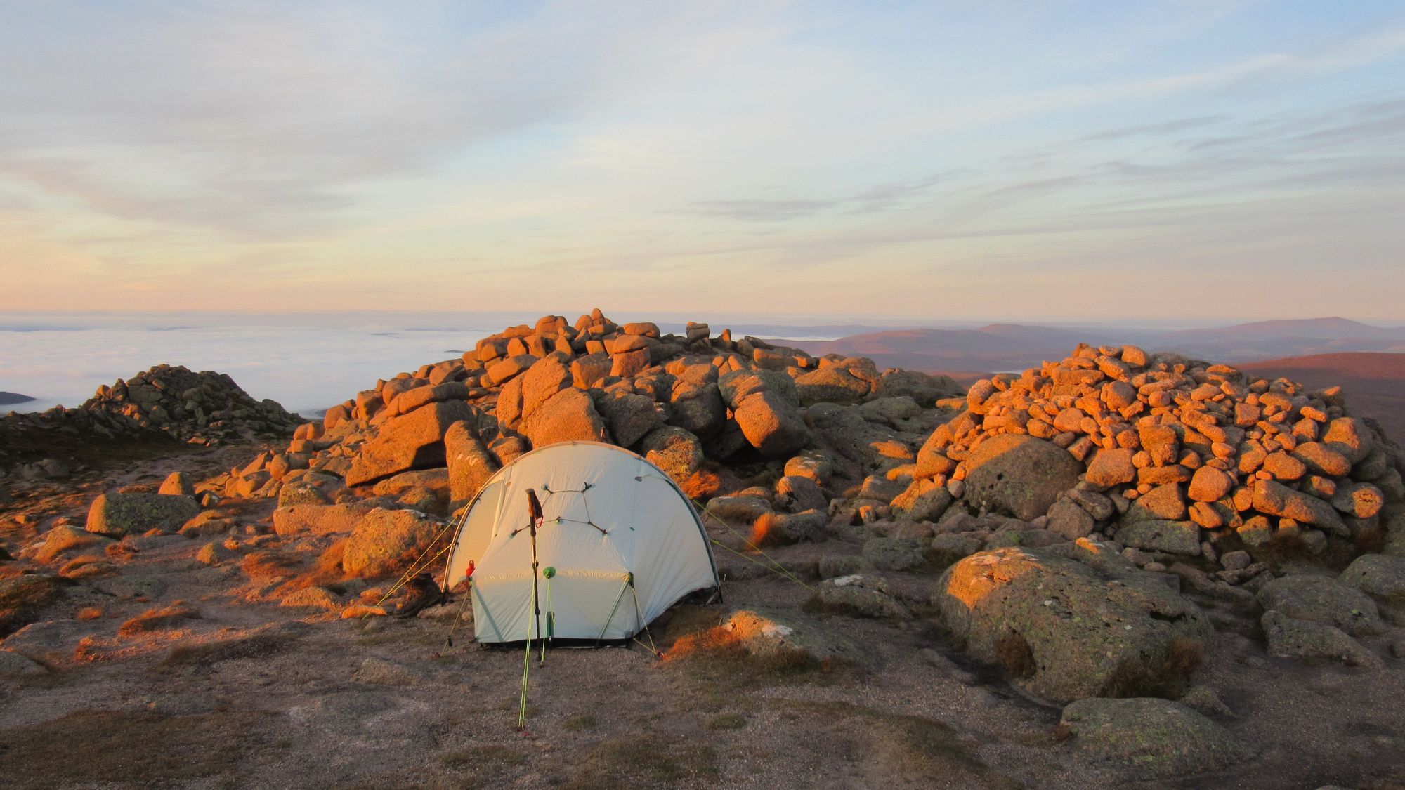
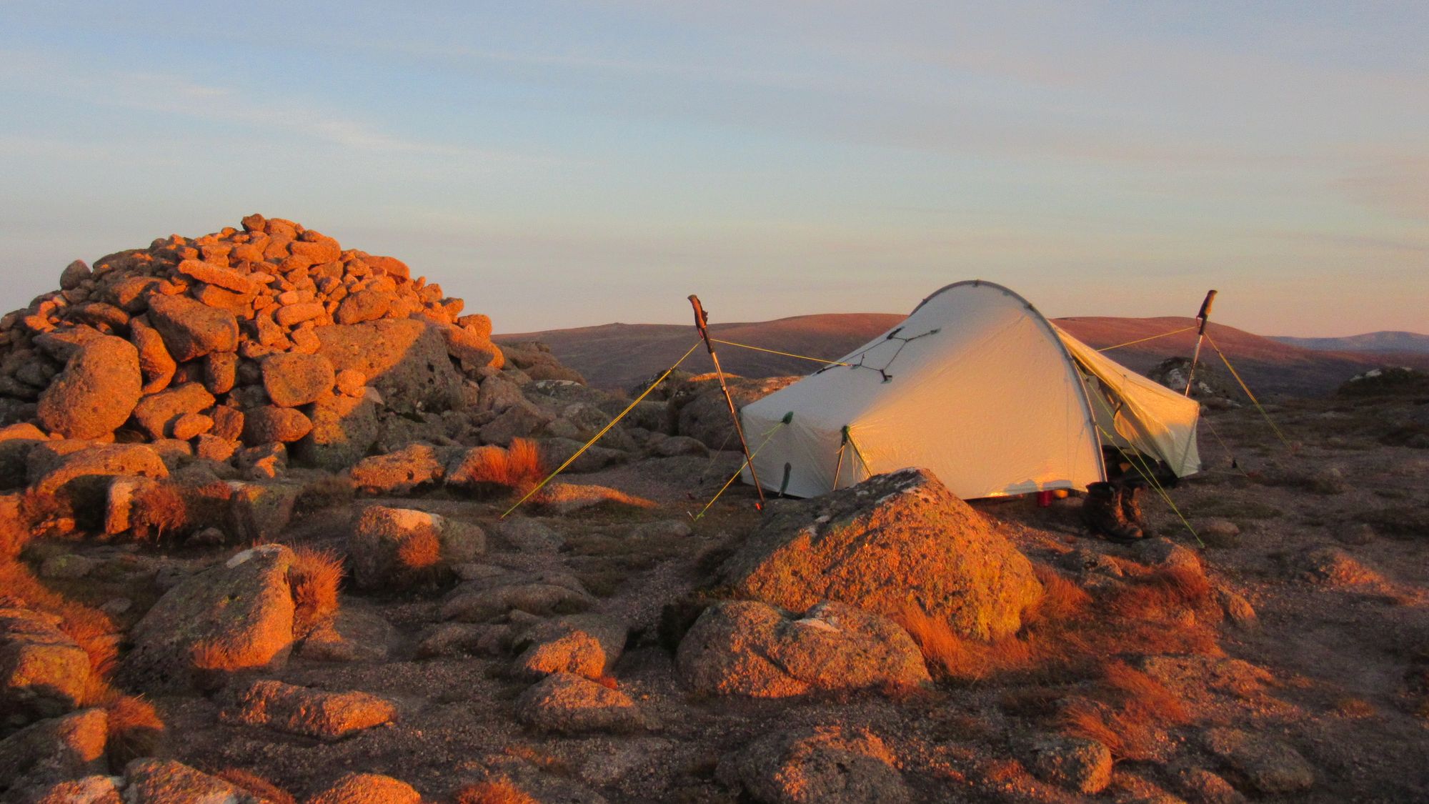
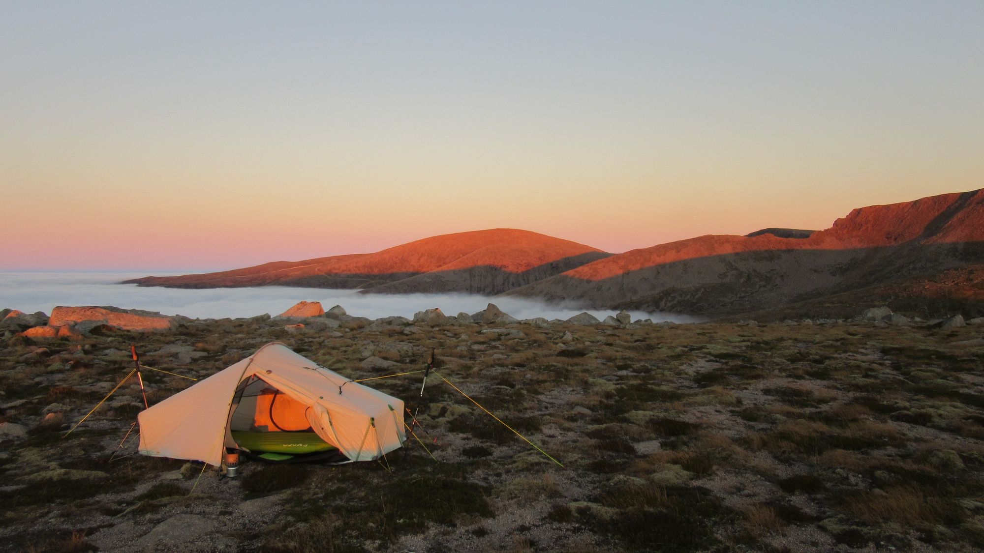
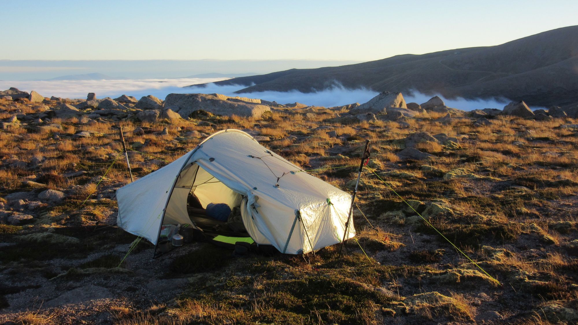
The summit area looks grassy, but is actually quite rocky below the superficial green covering. I found a not-too-stony pitch a little way away from the summit cairn. Poor peg placements were compensated for by piling some rocks on top.
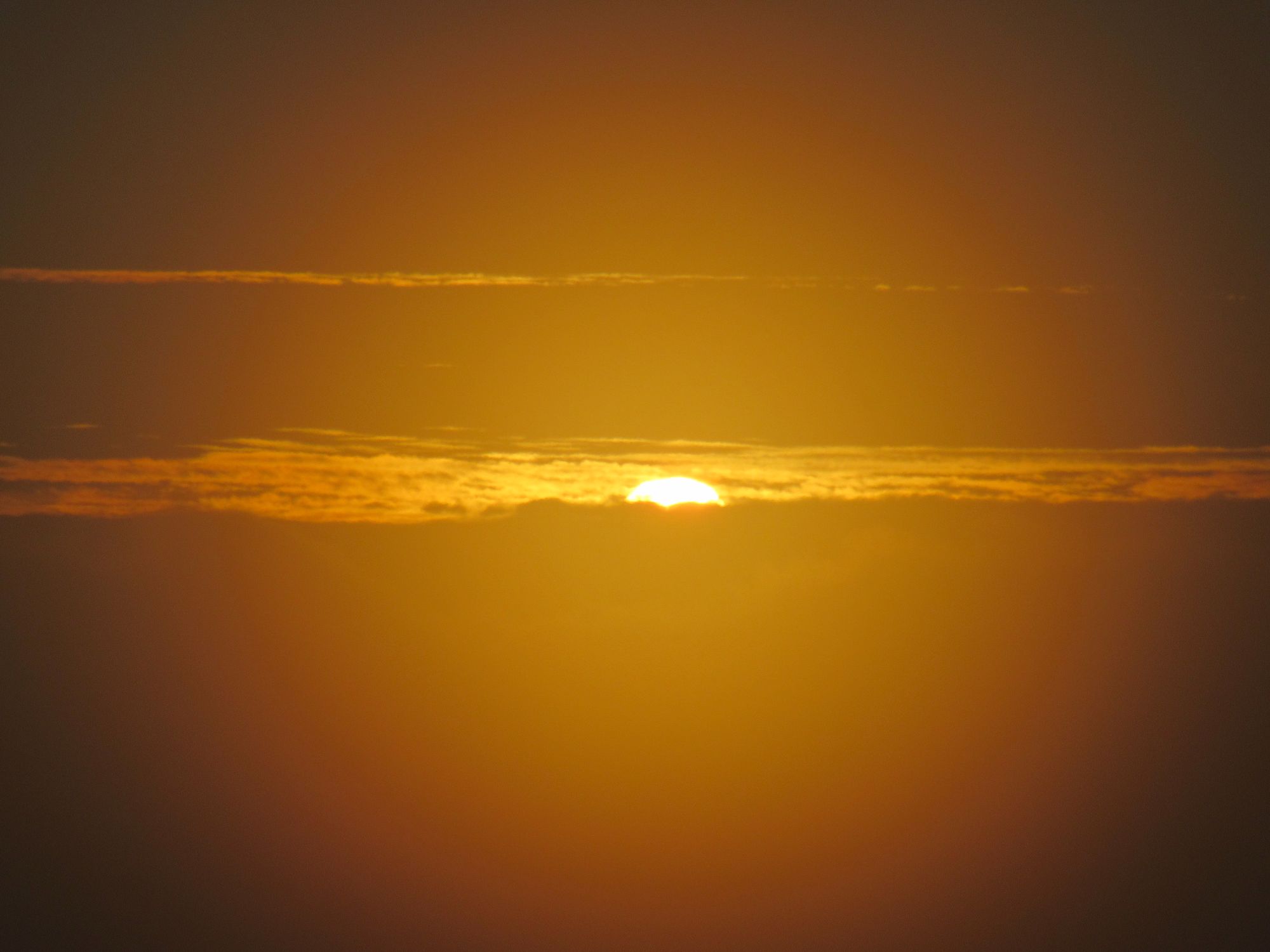
Camped at 1006m on An Sgarsoch.
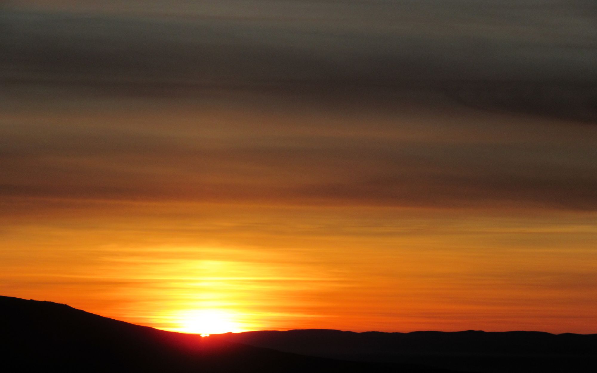
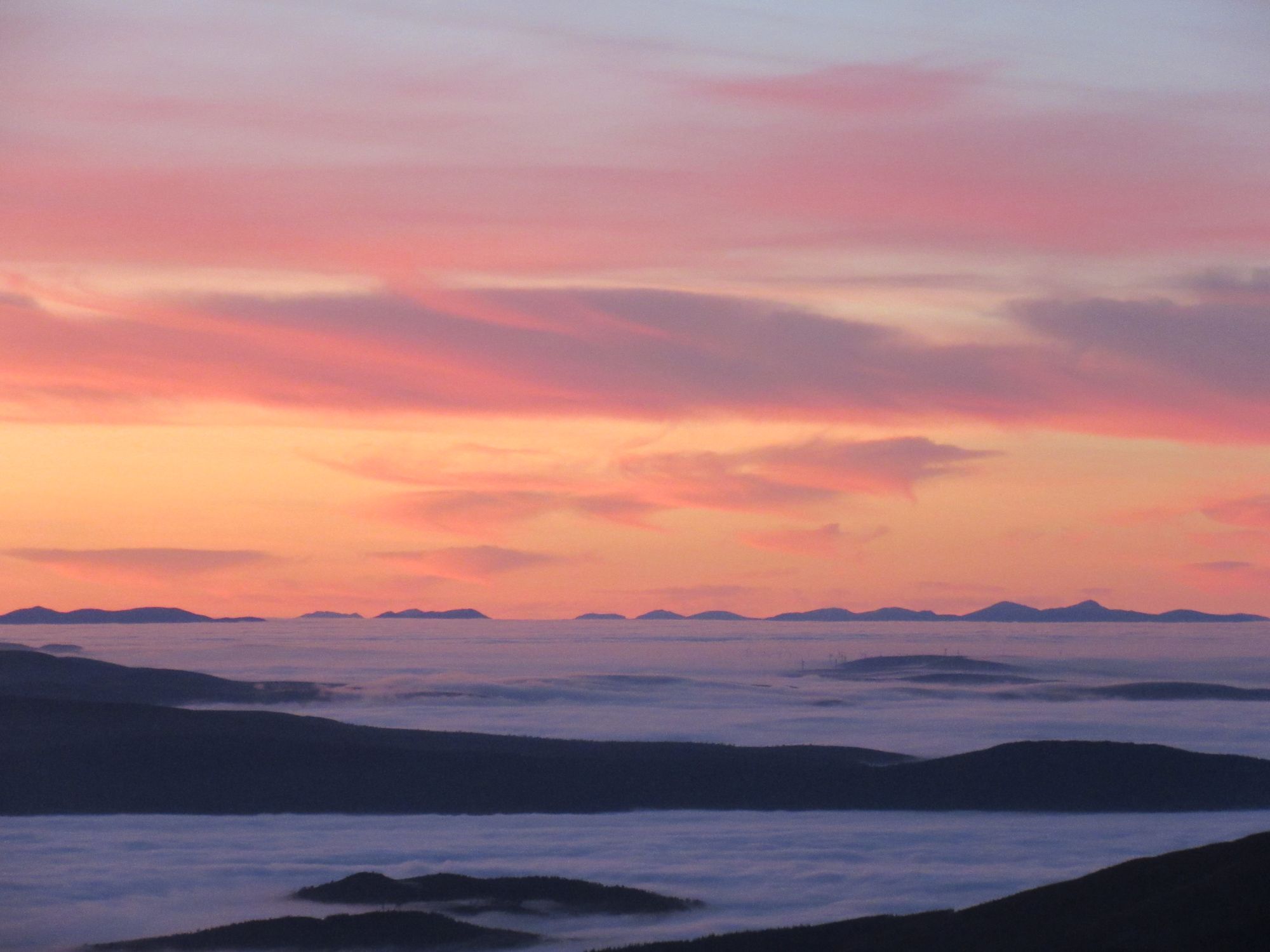
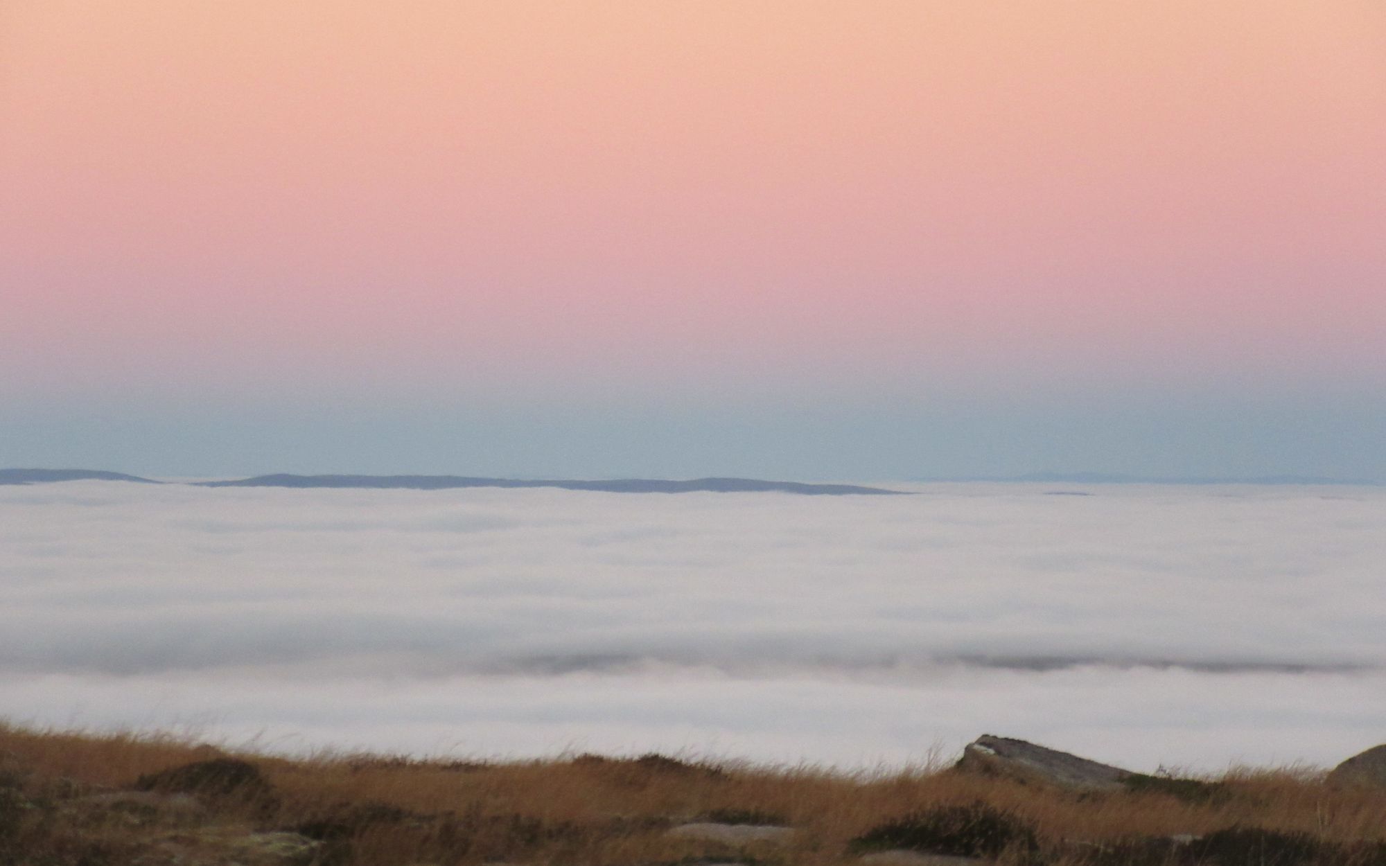
Sunset was obscured by cloud.
Day 3: An Sgarsoch - Ben Macdui
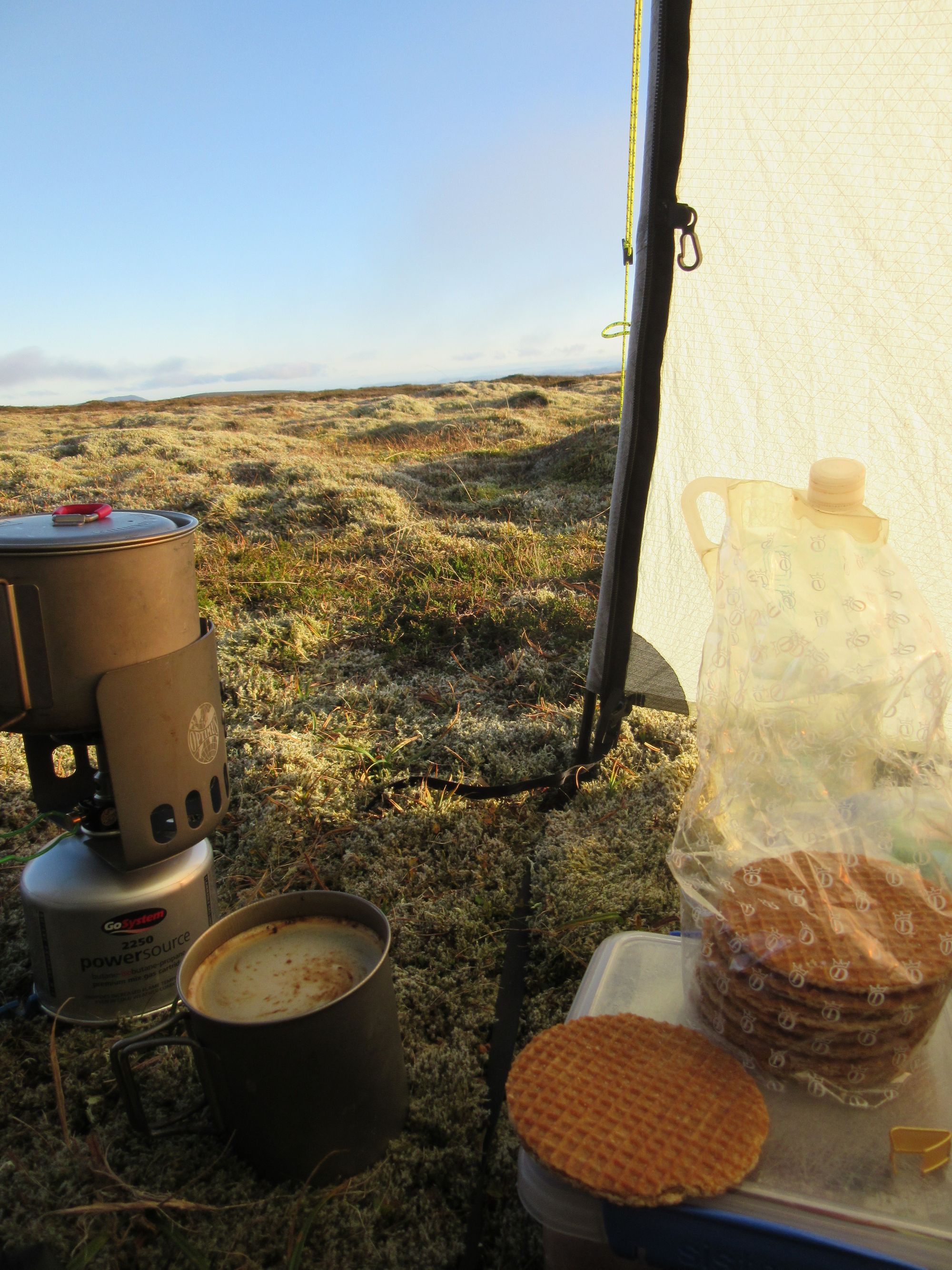
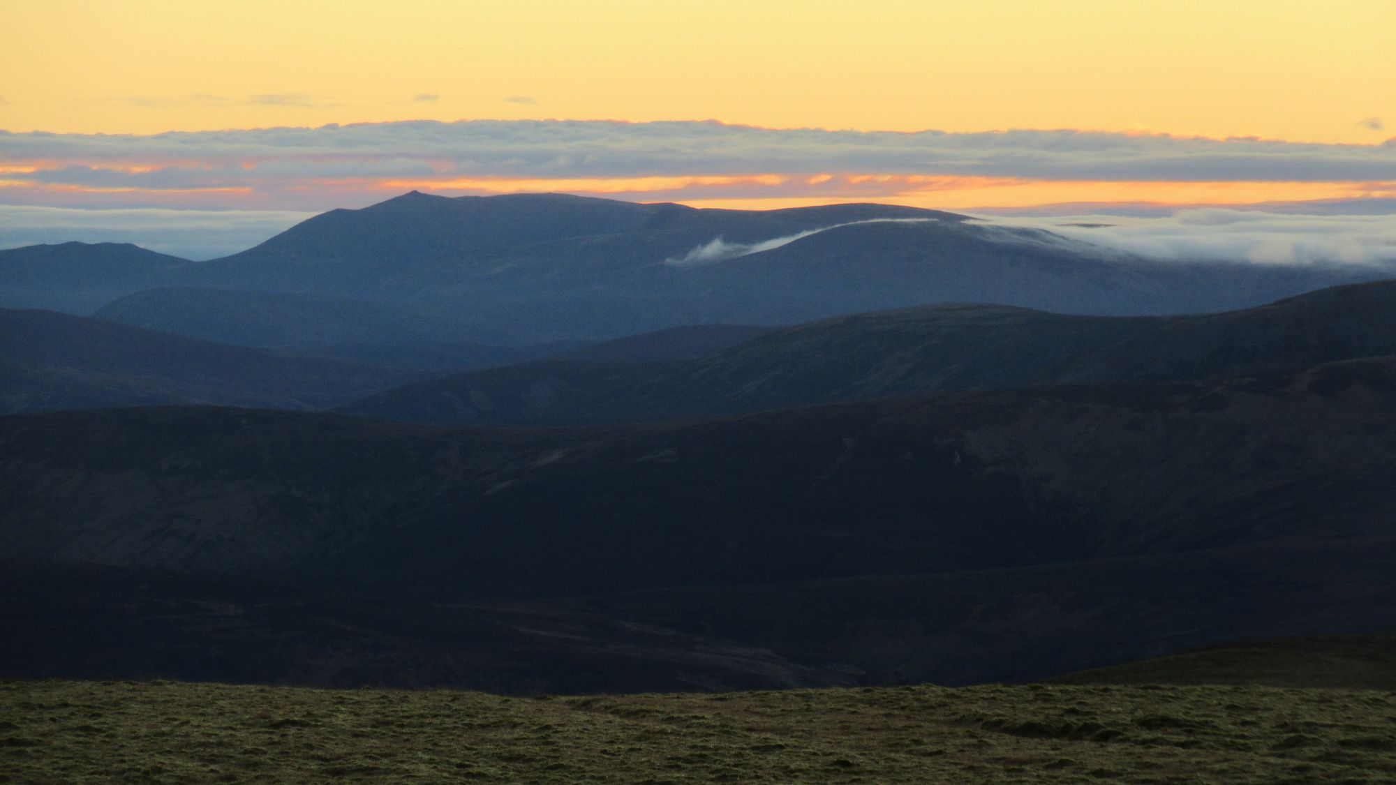
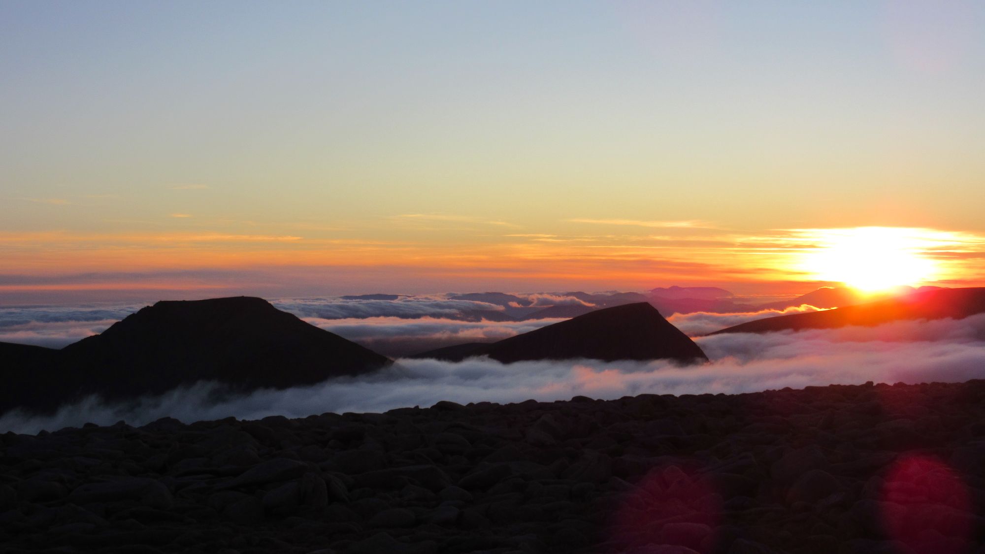
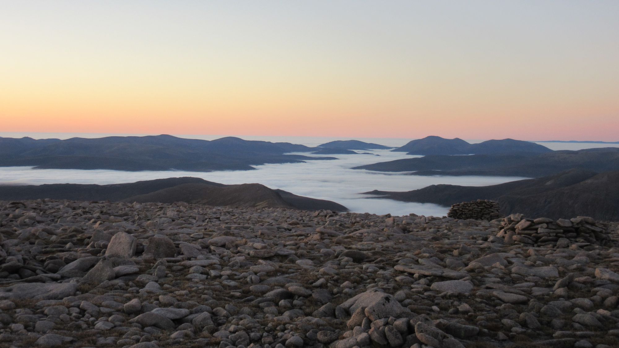
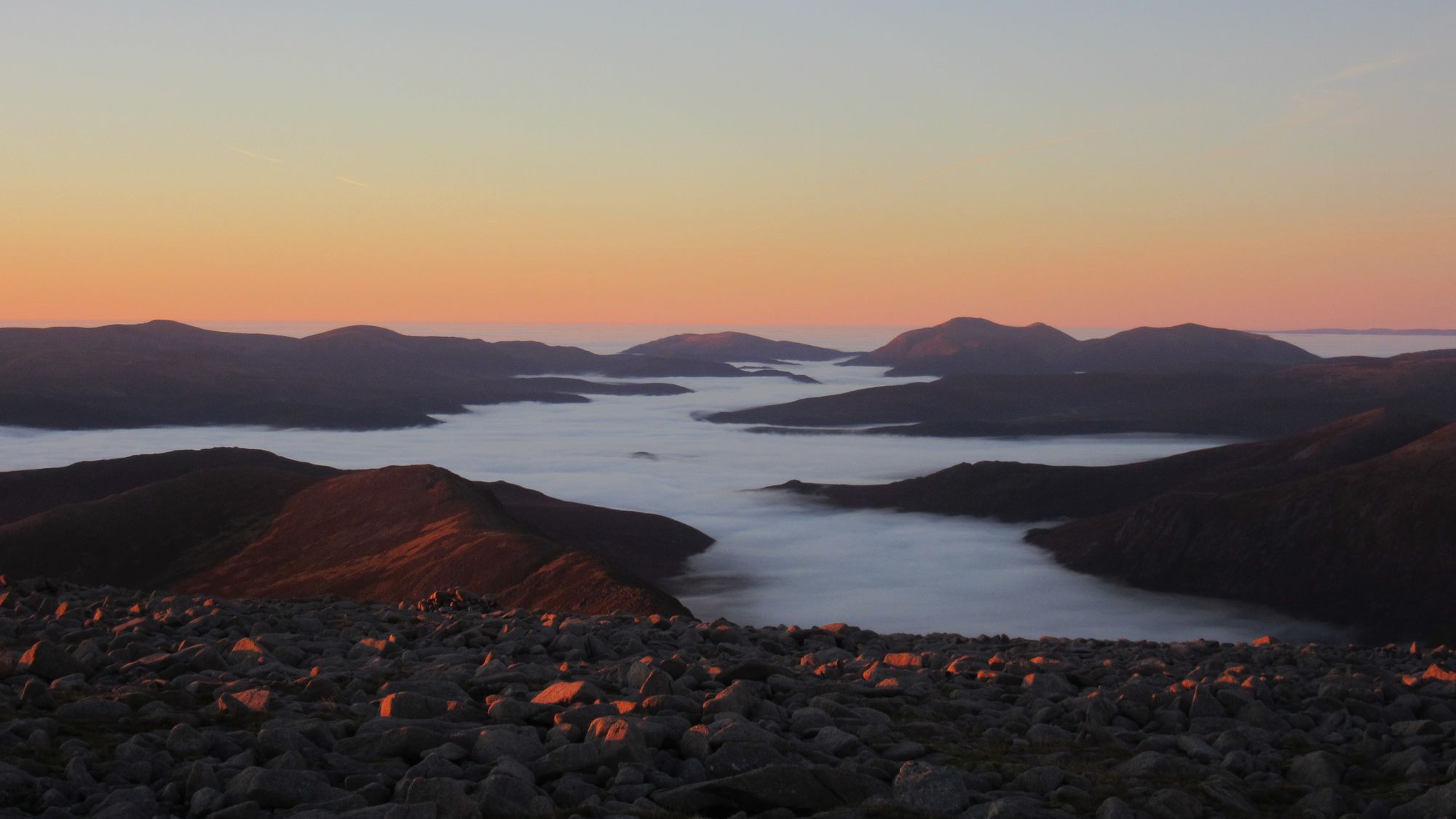
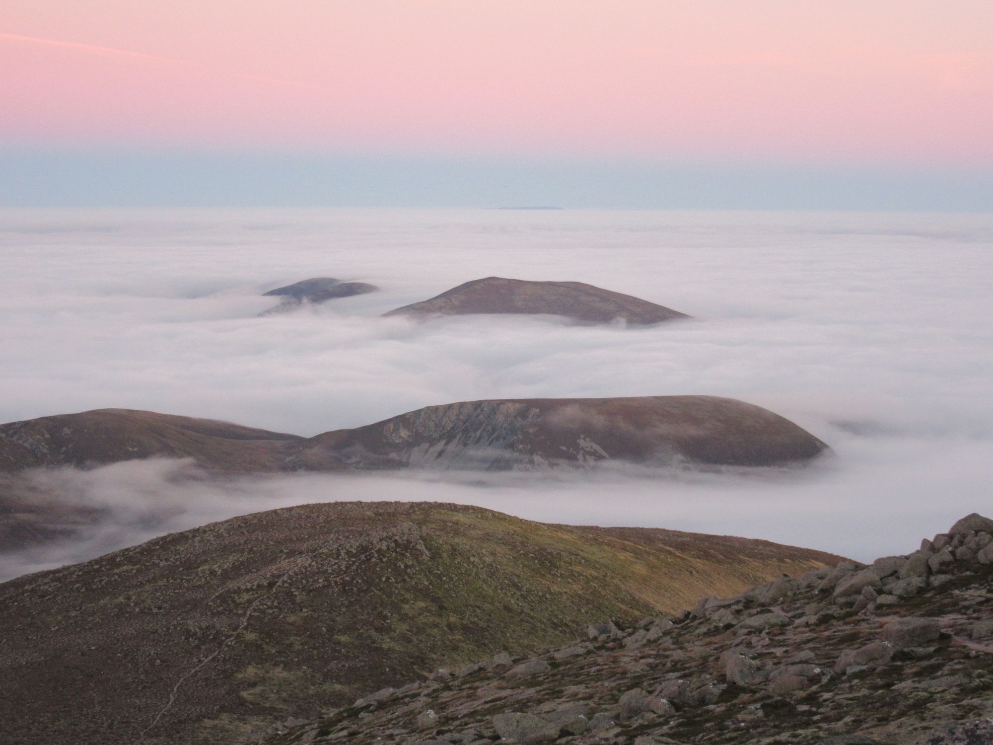
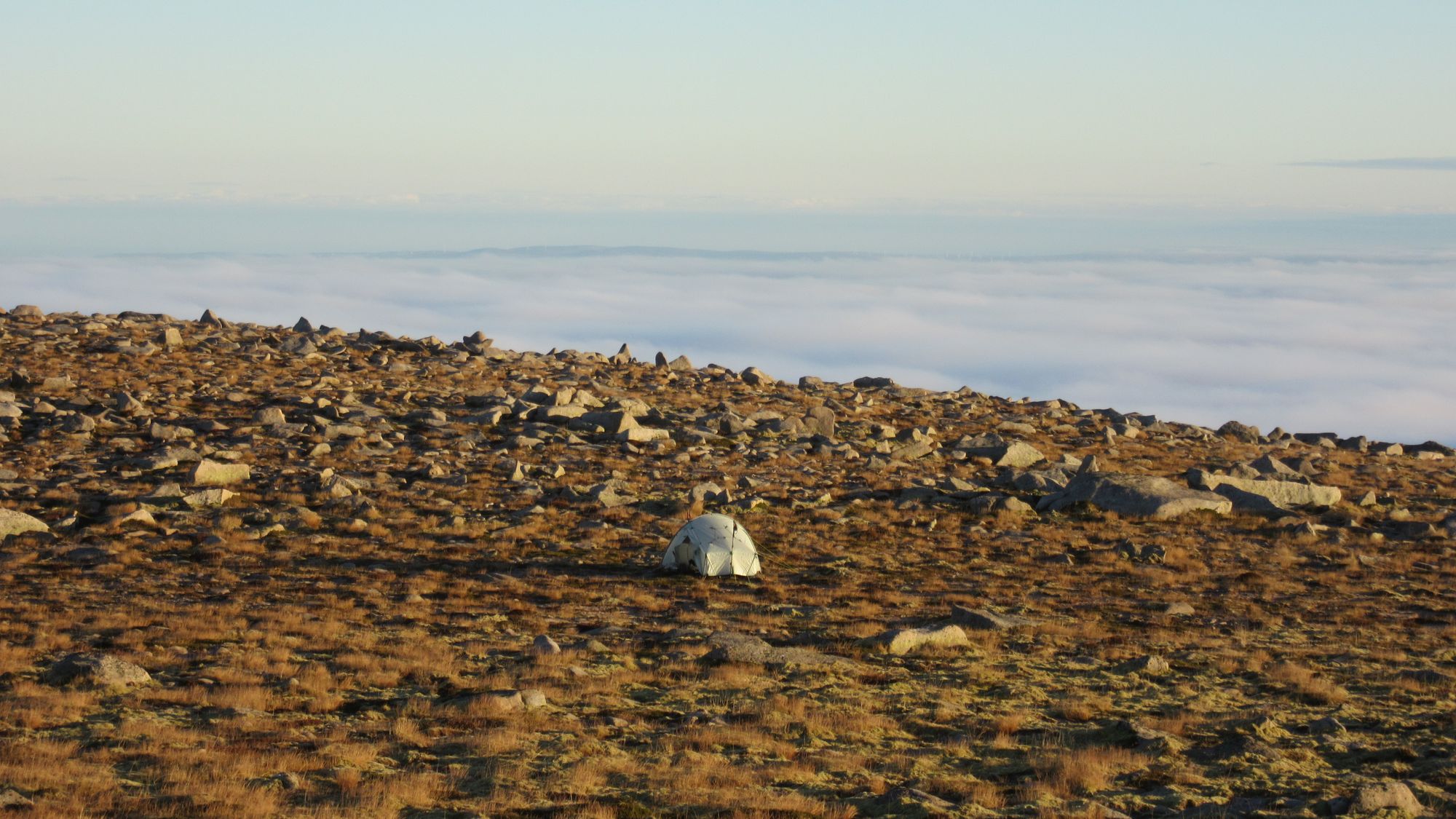
Woke to find clear skies, and spectacular views north to the main Cairngorm range.
Camped on An Sgarsoch in the morning.
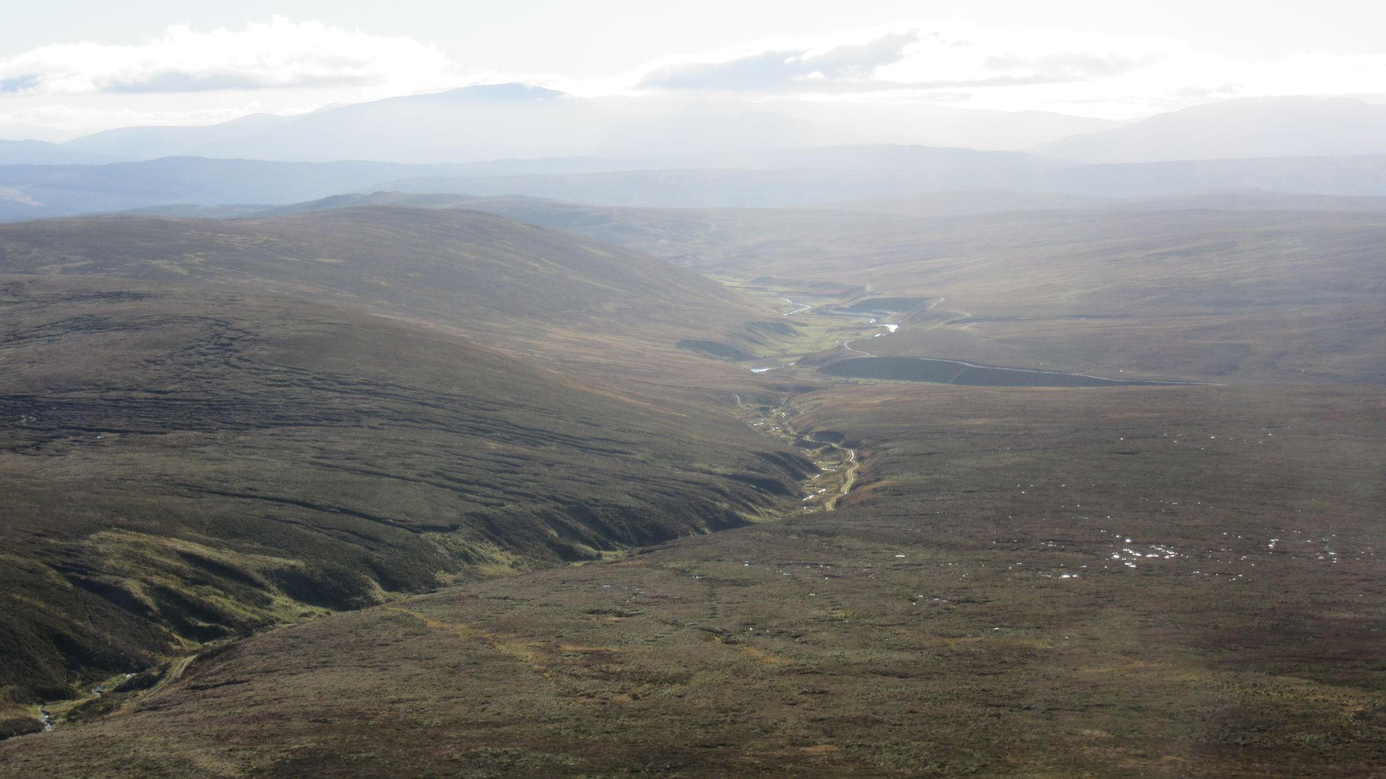
I packed up and headed down to the Geldie Lodge ruin. I was expecting the fording of the Geldie Burn to be a boots off job... but a passing park ranger in a truck gave me a ride across, saving me the hassle! From there I marched along the track past the Red House bothy (didn't call in this time) to White Bridge and turned north up Glen Dee.
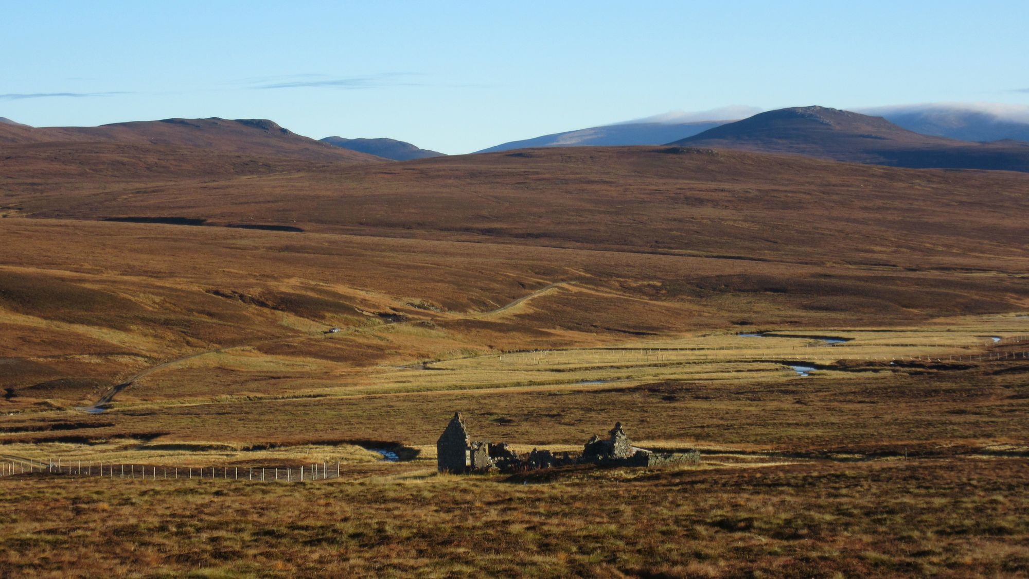
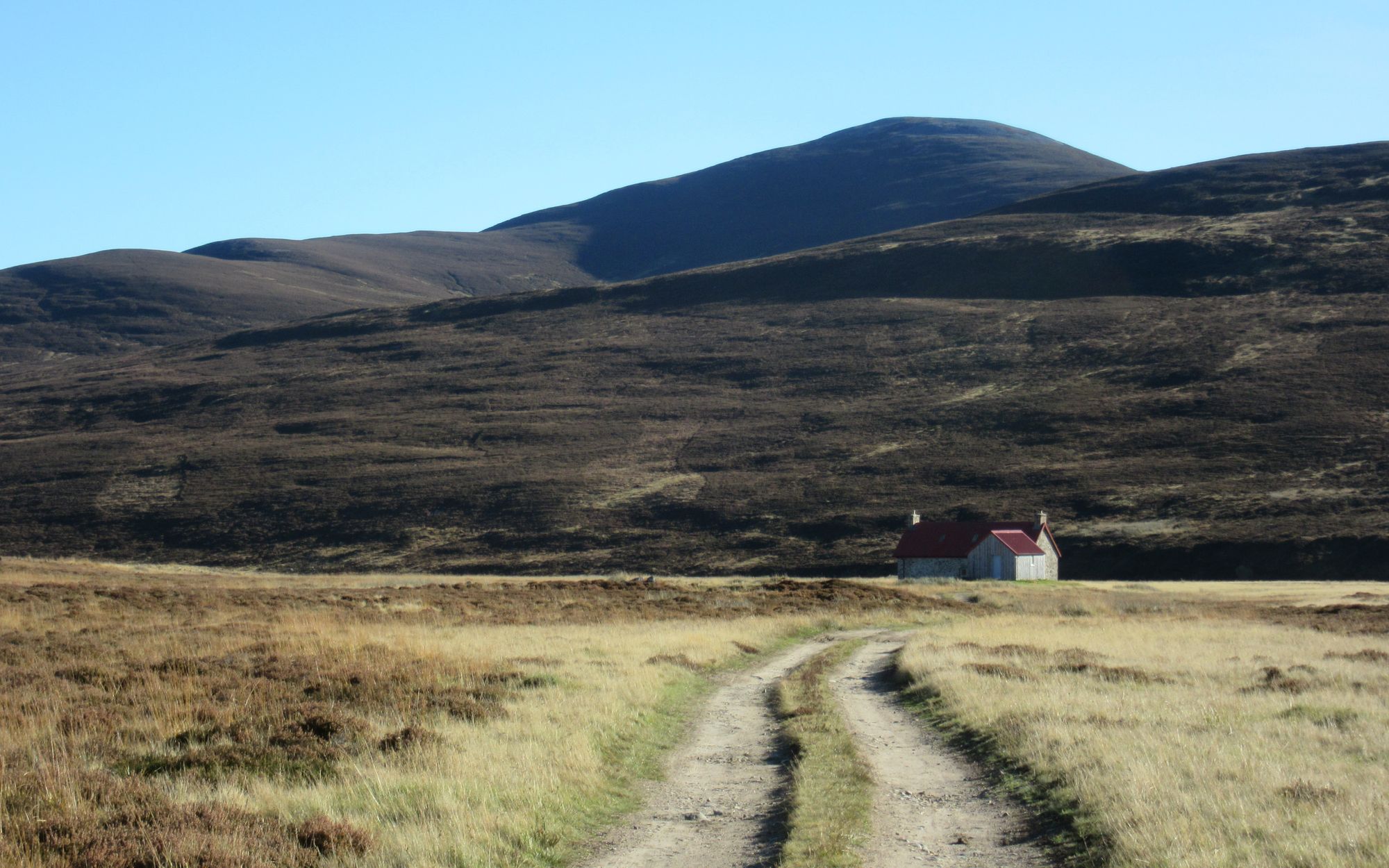
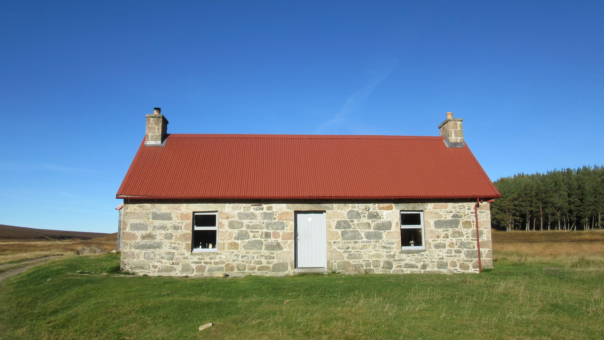
Geldie Lodge ruin, the Red House bothy and up Glen Dee.
The path up Glenn Dee took me below Beinn Bhrotain's eastern flanks, and then past The Devil's Point and Corrour Bothy. A little further north as the path climbed towards the Lairig Ghru I turned off right up the Taylors' Burn path.
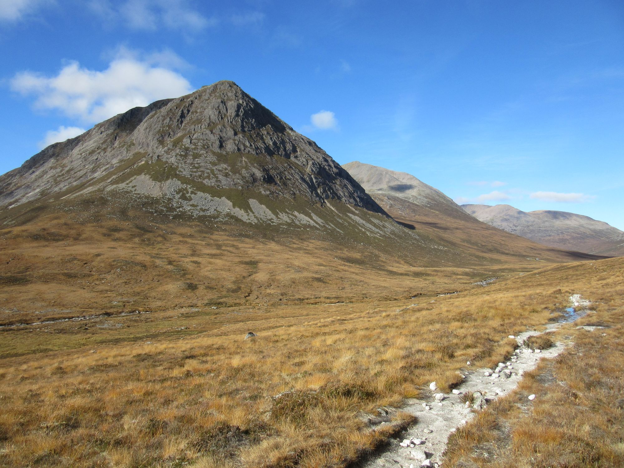
Passing The Devil's Point and climbing Ben Macdui by the Taylors' Burn path.
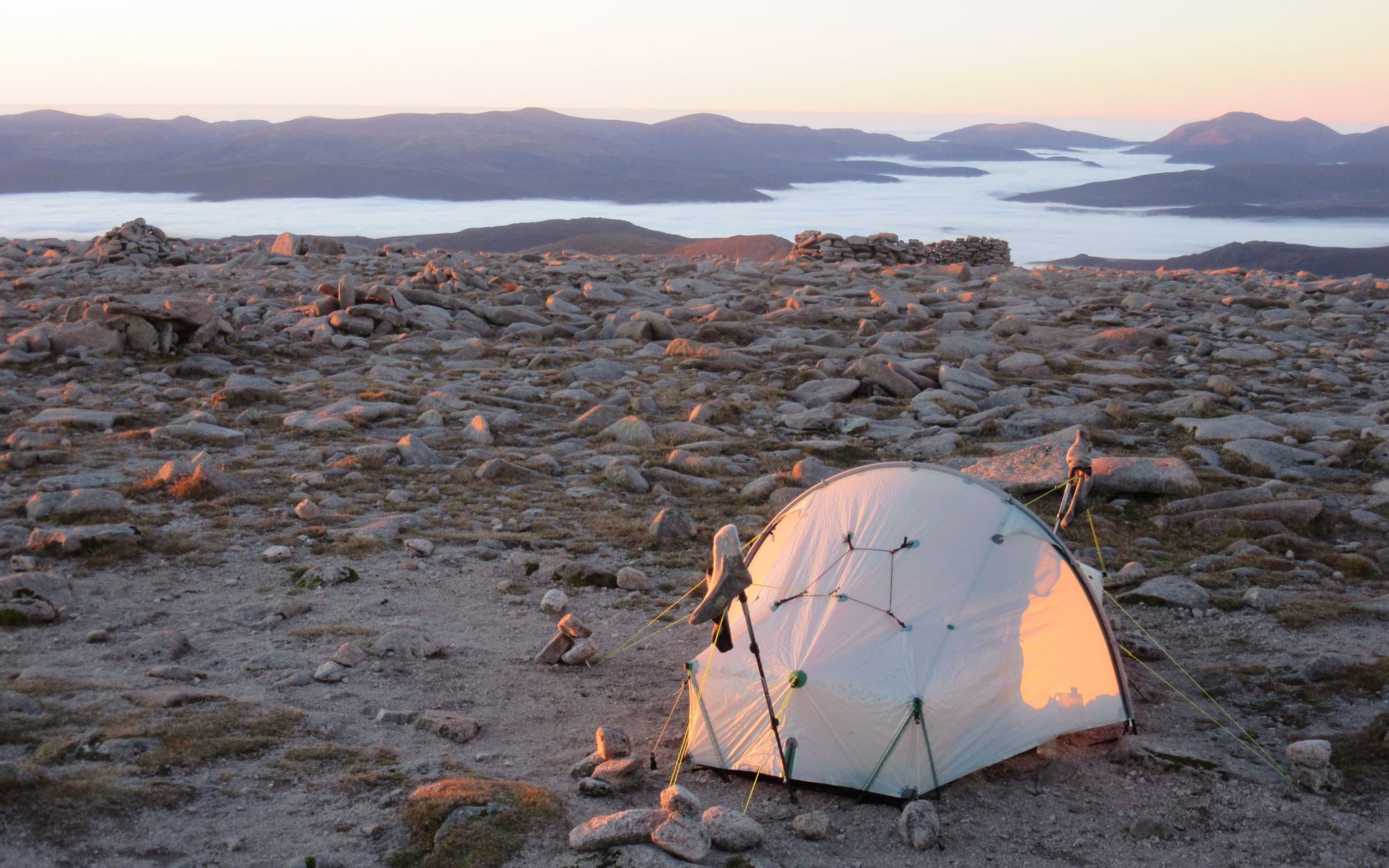
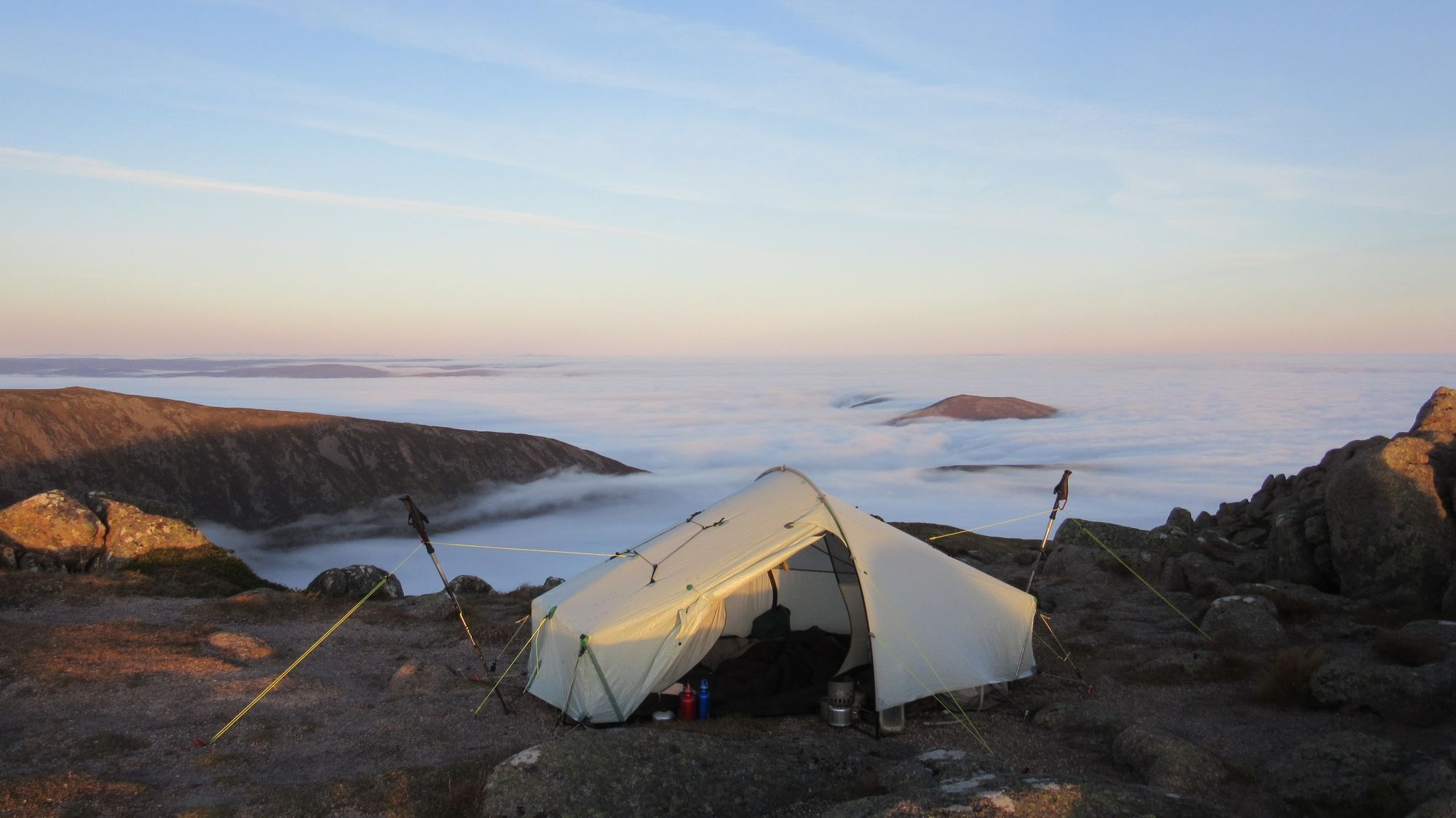
I drew water for a camp from the upper reaches of the Taylors' Burn before the final rocky climb to the summit. Cloud was blowing through when I got there, but it soon fell away to leave only lower level banks. I declined to occupy the pitch surrounded by the stone windbreak near the summit as it seemed a shame to block the views, and found a just big enough stone-free patch nearby instead. Initially there were just a few late daytrippers around, but later a chap from Stirling turned up to camp and occupied the windbreak spot.
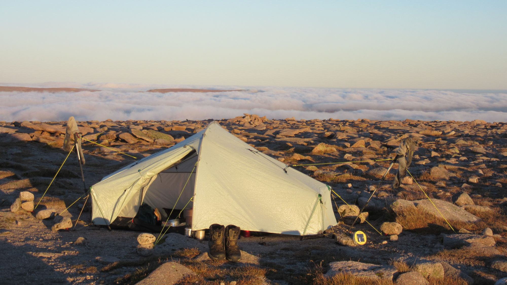
Camped at 1309m on Ben Macdui.
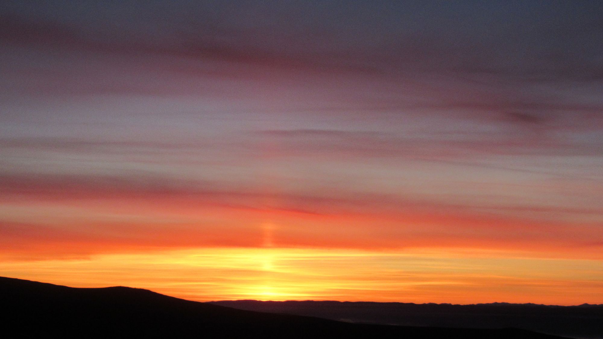
Sunset on Ben Macdui.
Day 4: Ben Macdui - Bynack More
The morning was clear again; winds were light and the inversion conditions persisted! Just fantastic!
Camped on Ben Macdui in the morning.
I had a relatively leisurely day planned today: Bynack More is not that far away and I could afford to take my time.
I eventually managed to tear myself away from enjoying the view from Macdui and headed down towards Loch Etchachan and then more steeply to the west end of Loch Avon.
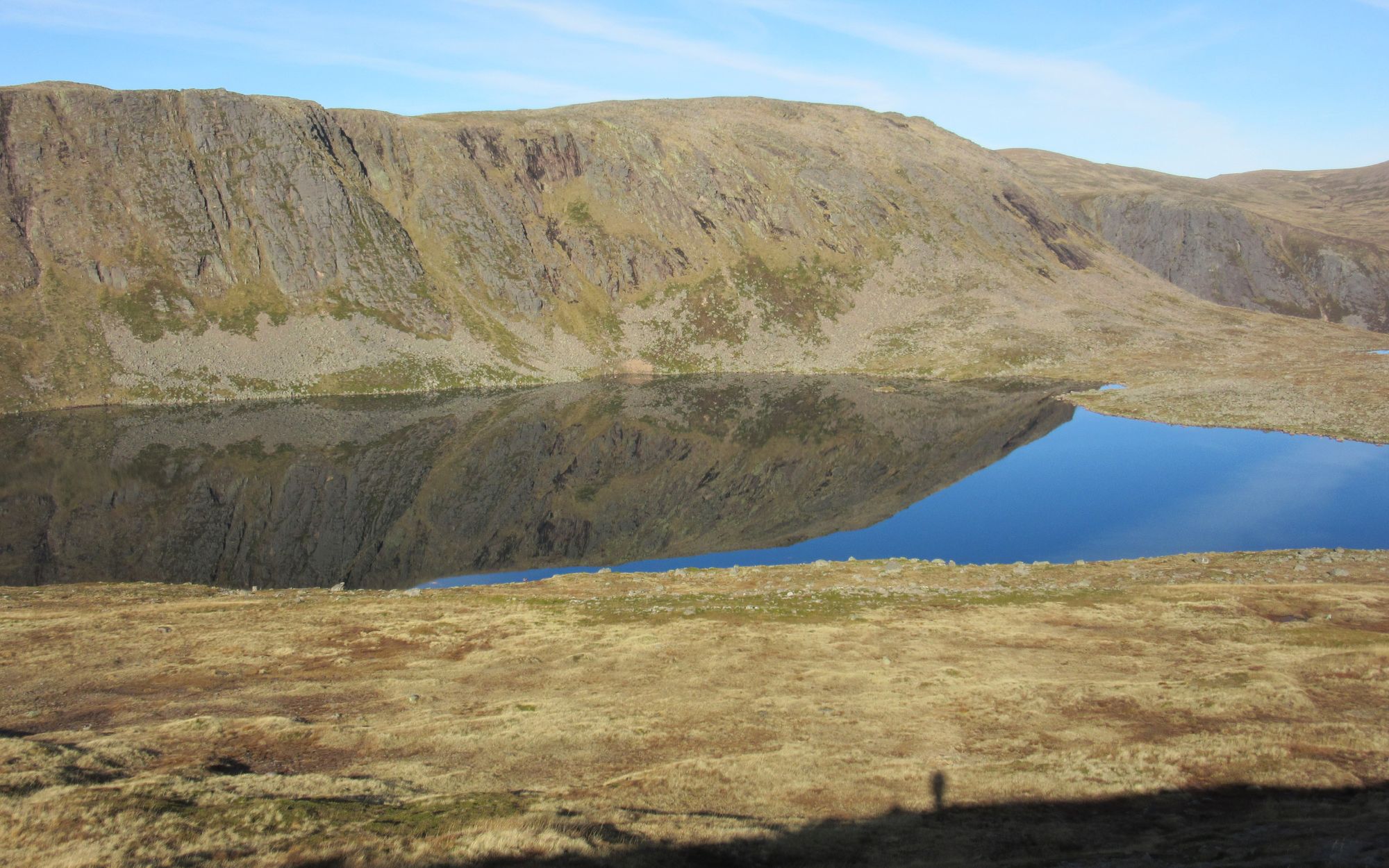
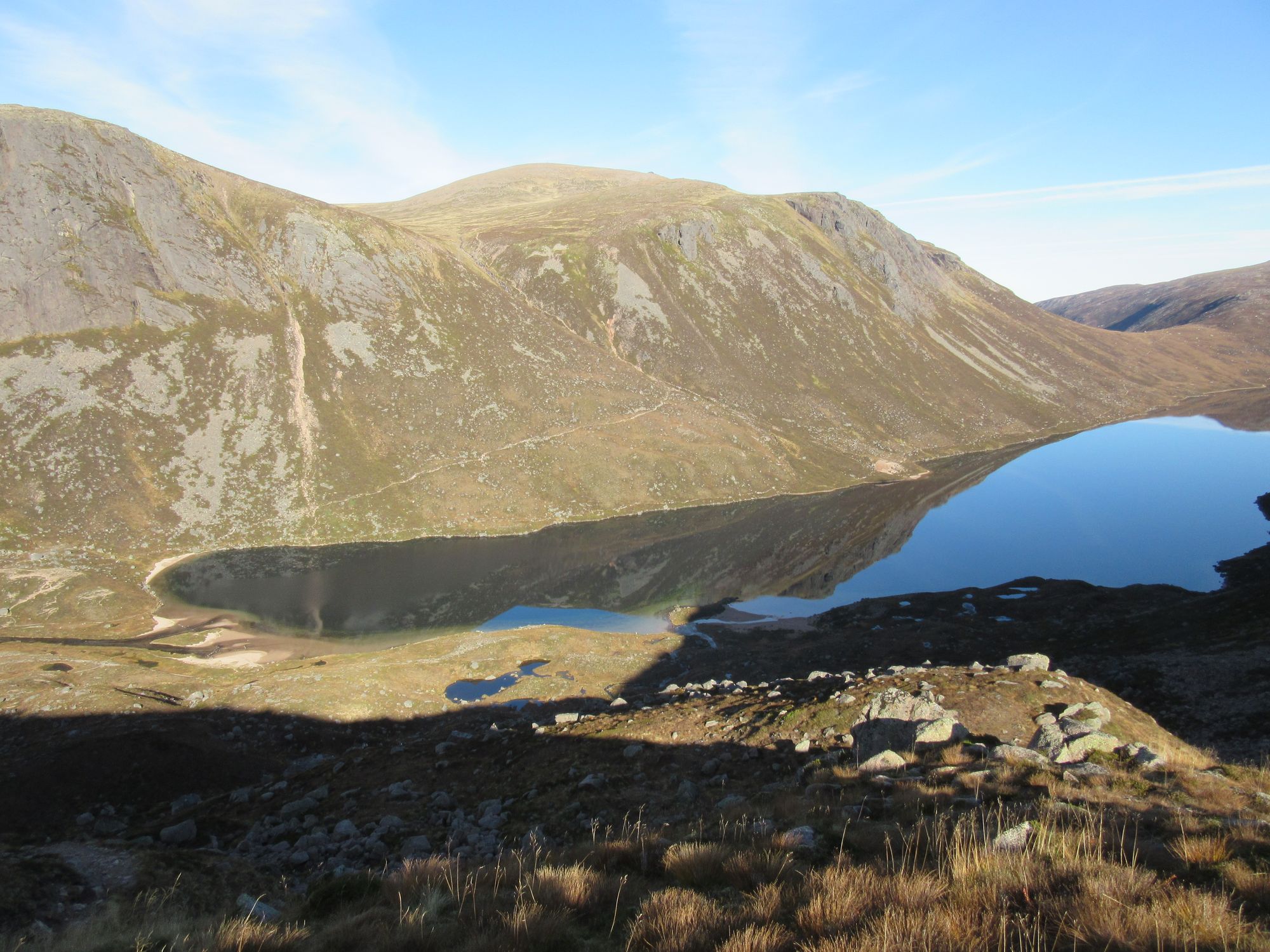
Descending from Ben Macdui towards Loch Avon via Loch Etchachan.
This was new-to-me territory, so I could not resist taking the short detour to visit the famous "Shelter Stone".
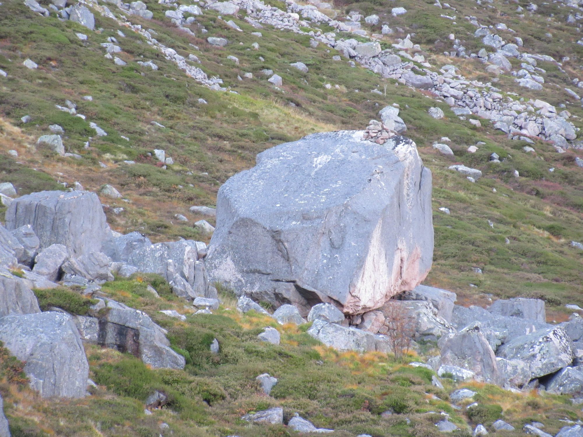
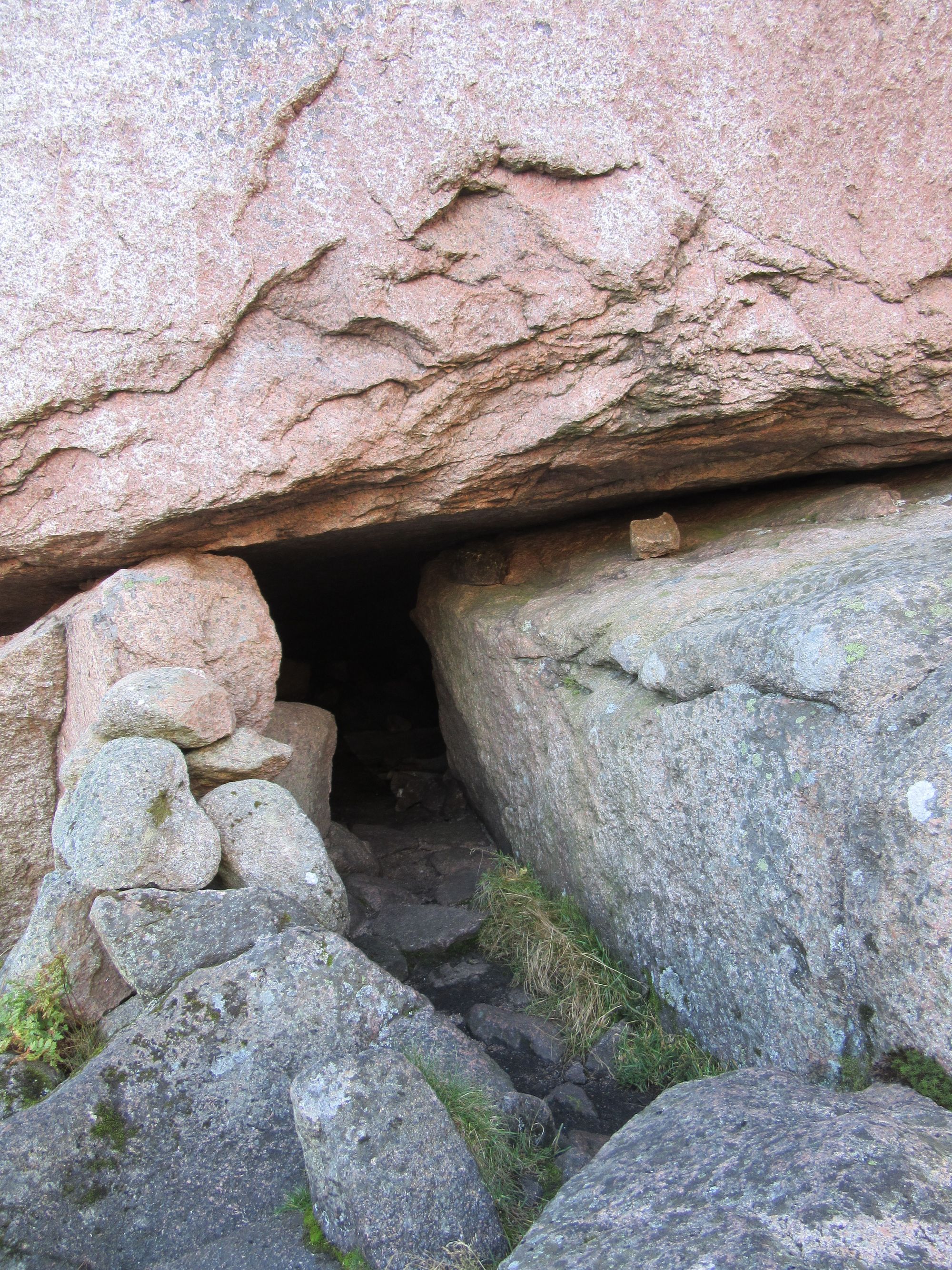
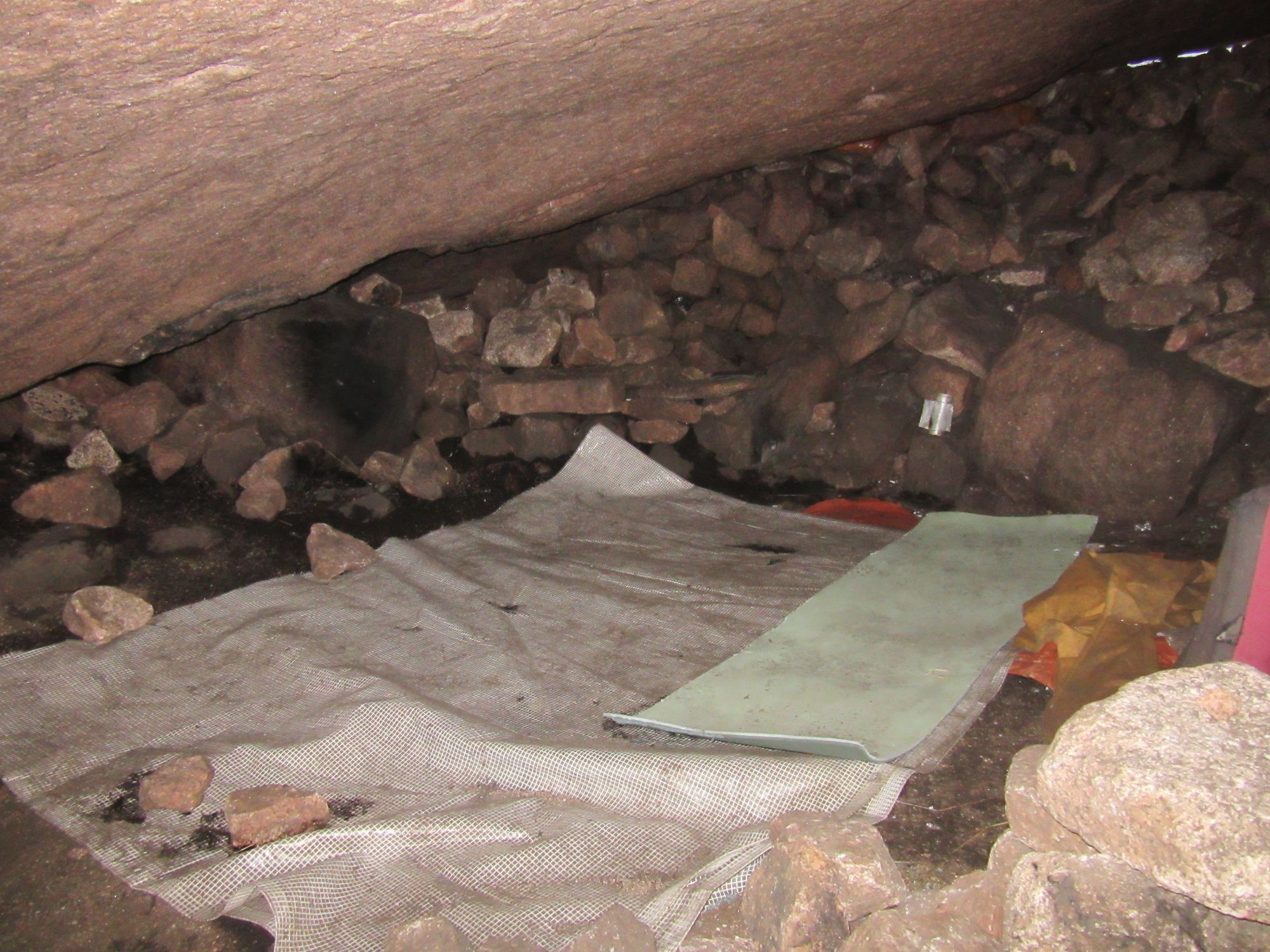
Approaching - and inside - the Shelter Stone.
I think I'll stick to using my tent!
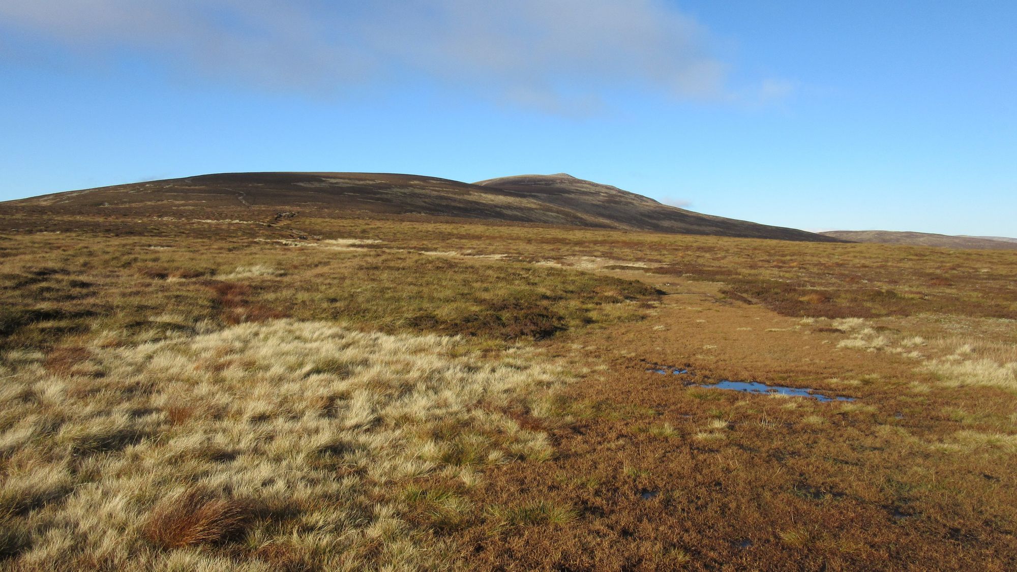
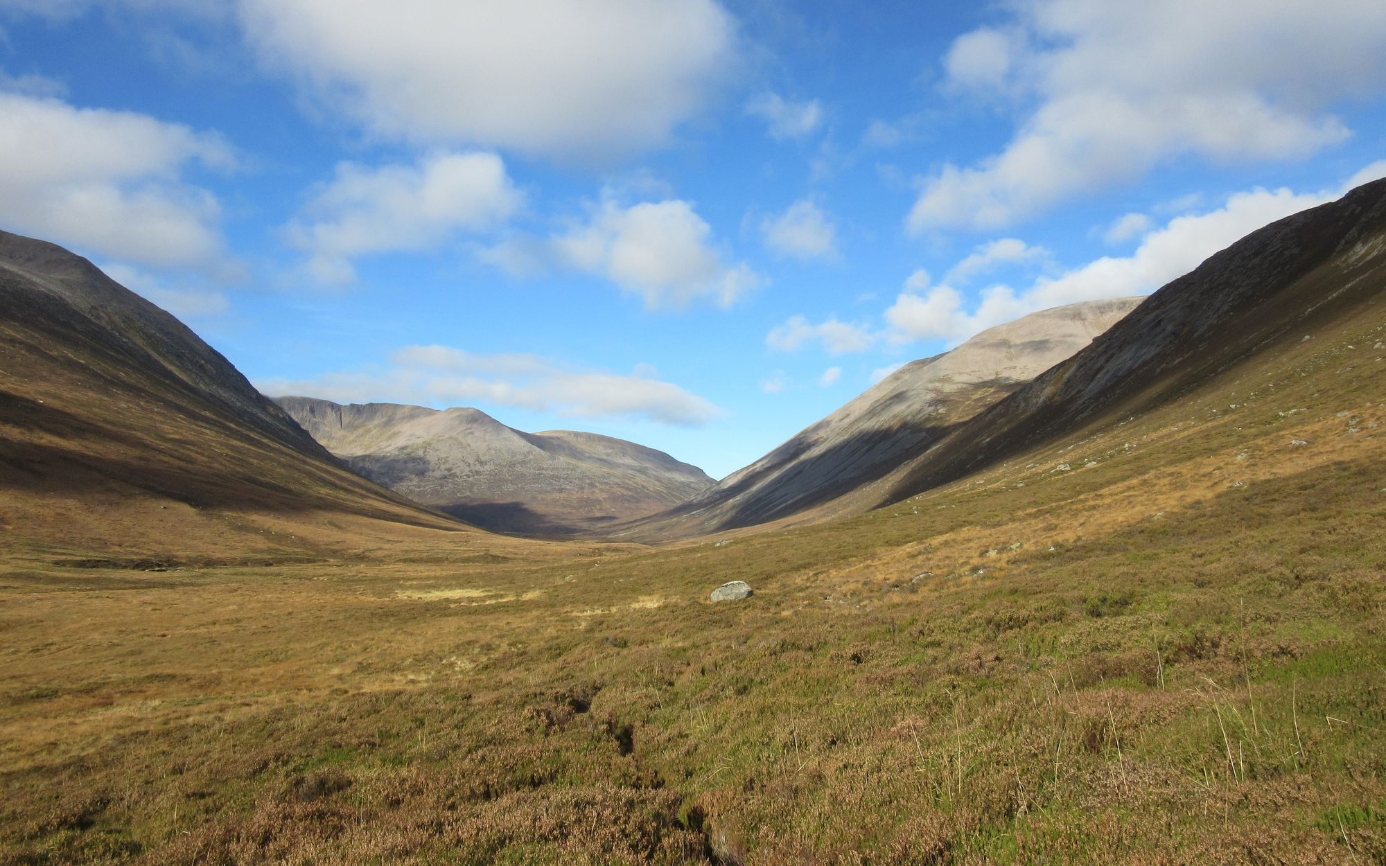
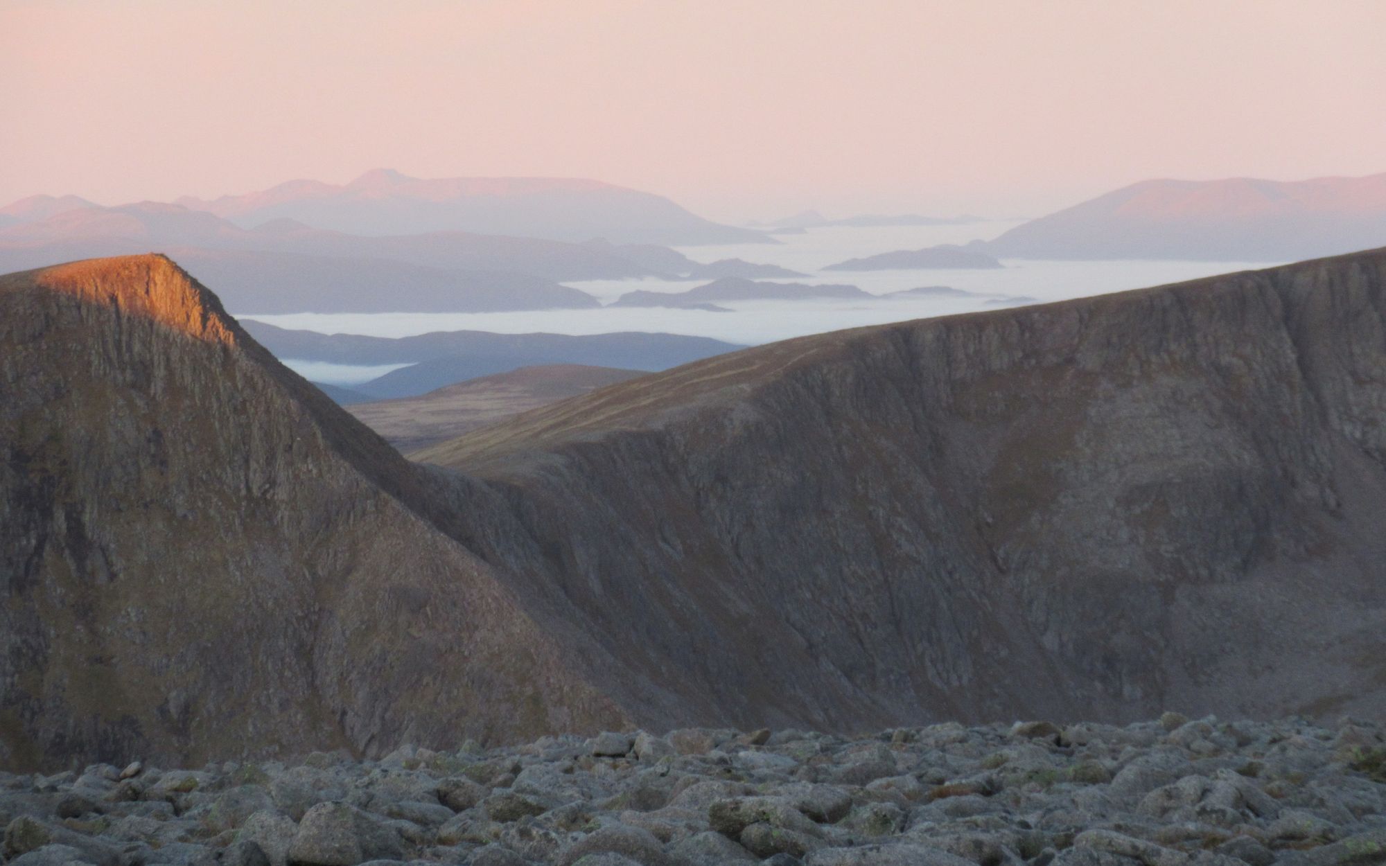
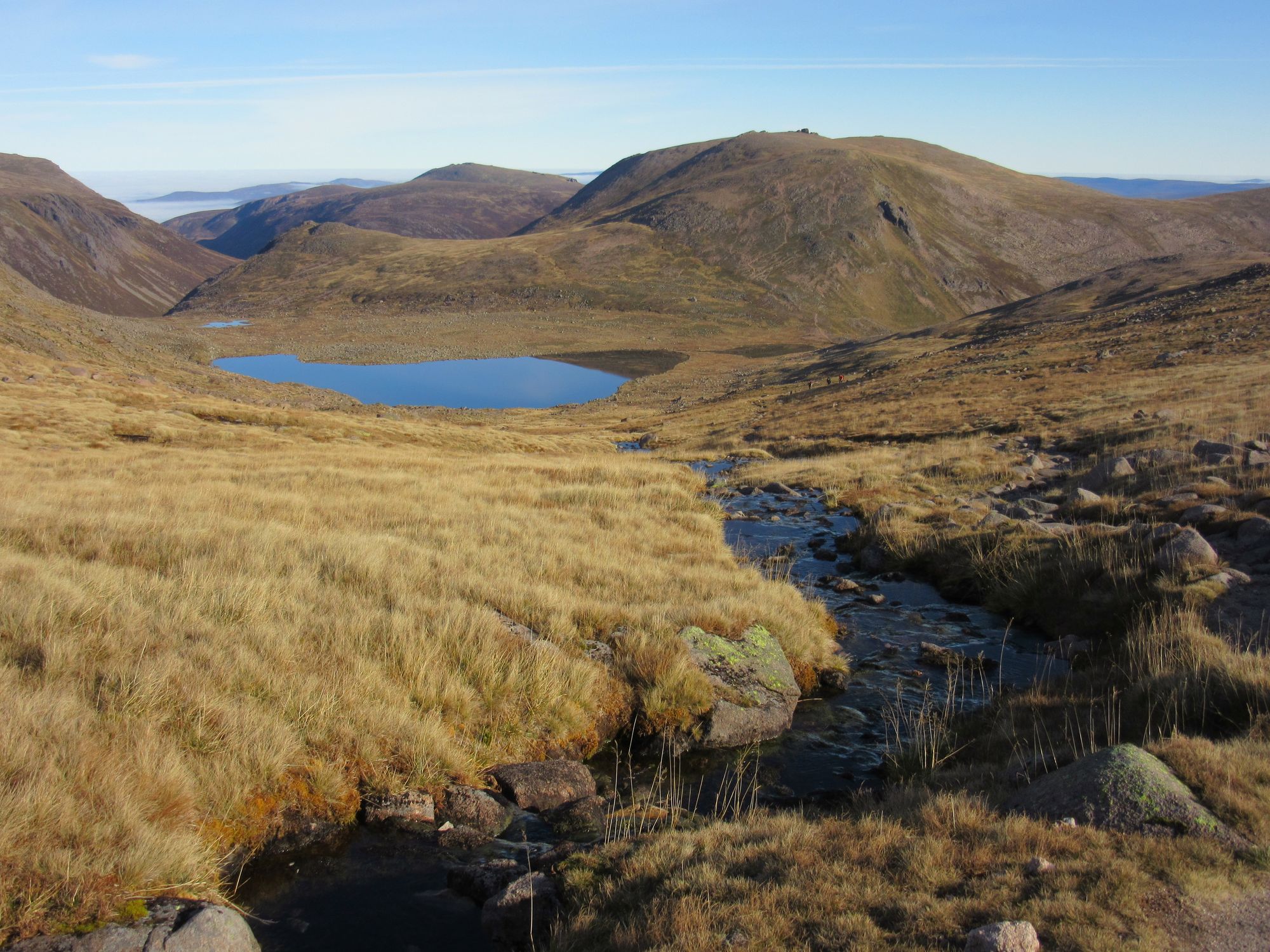
From there I made my way along the rough track on the north side of Loch Avon. It got better as I climbed to The Saddle east of Cairn Gorm and then over A'Choinneach to my still needed Munro Top of Bynack Beg, drawing water for a camp when the All a'Choire Dheirg was crossed.
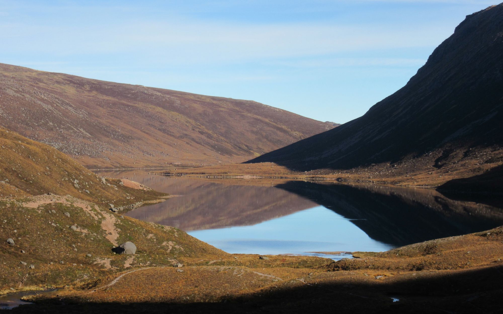
Loch Avon to Bynack Beg
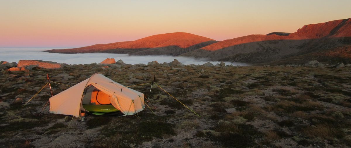
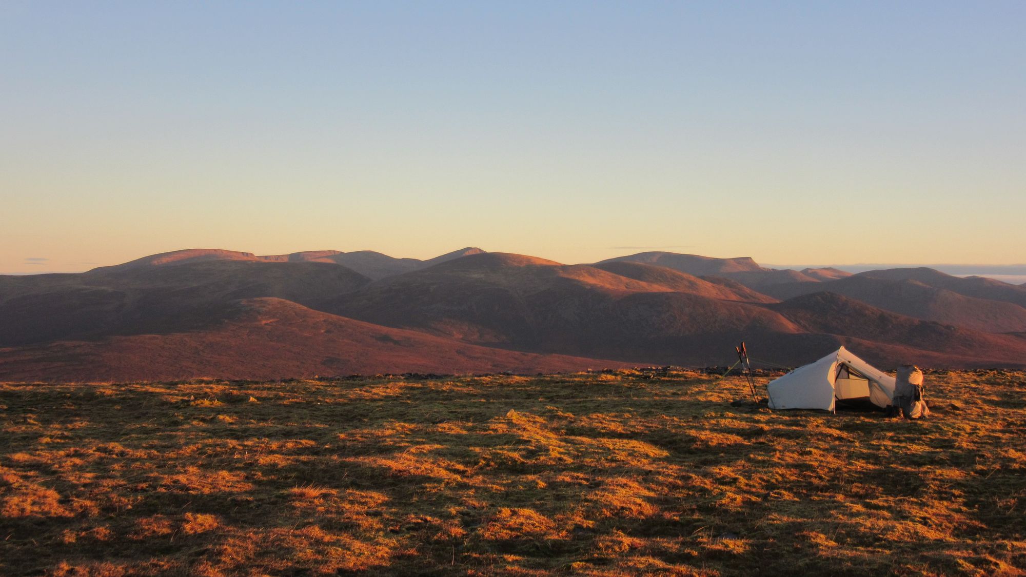
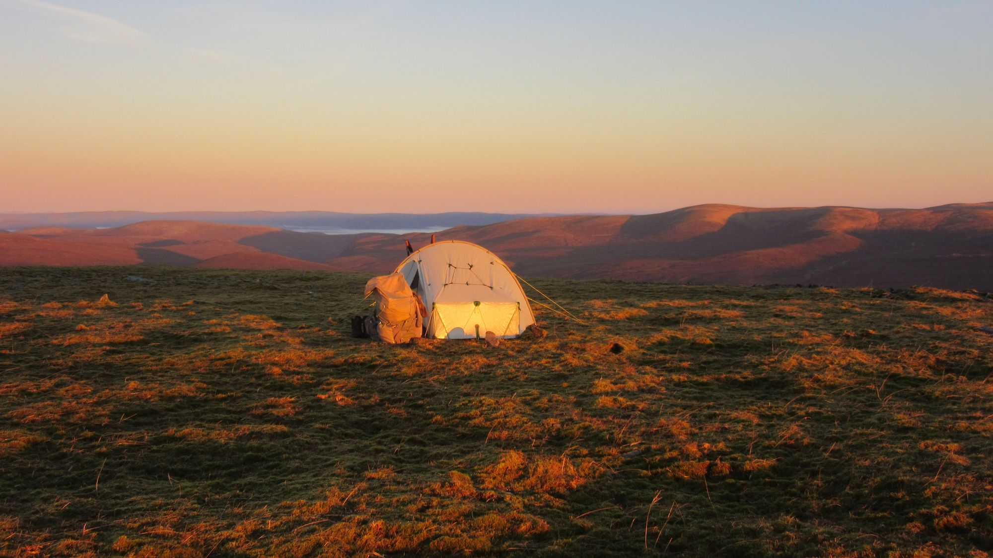
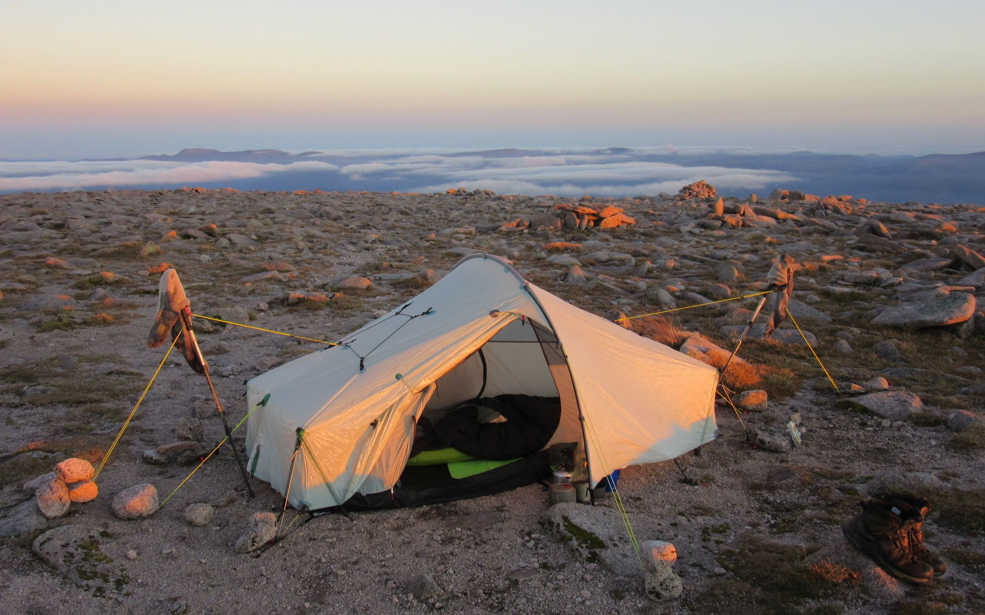
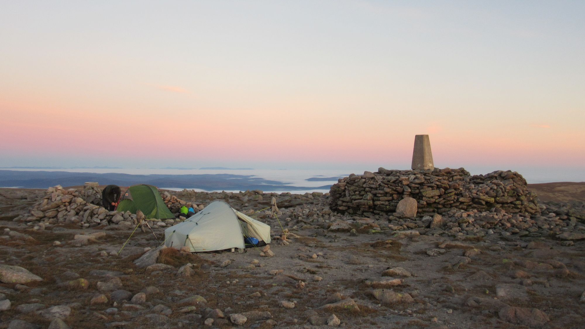
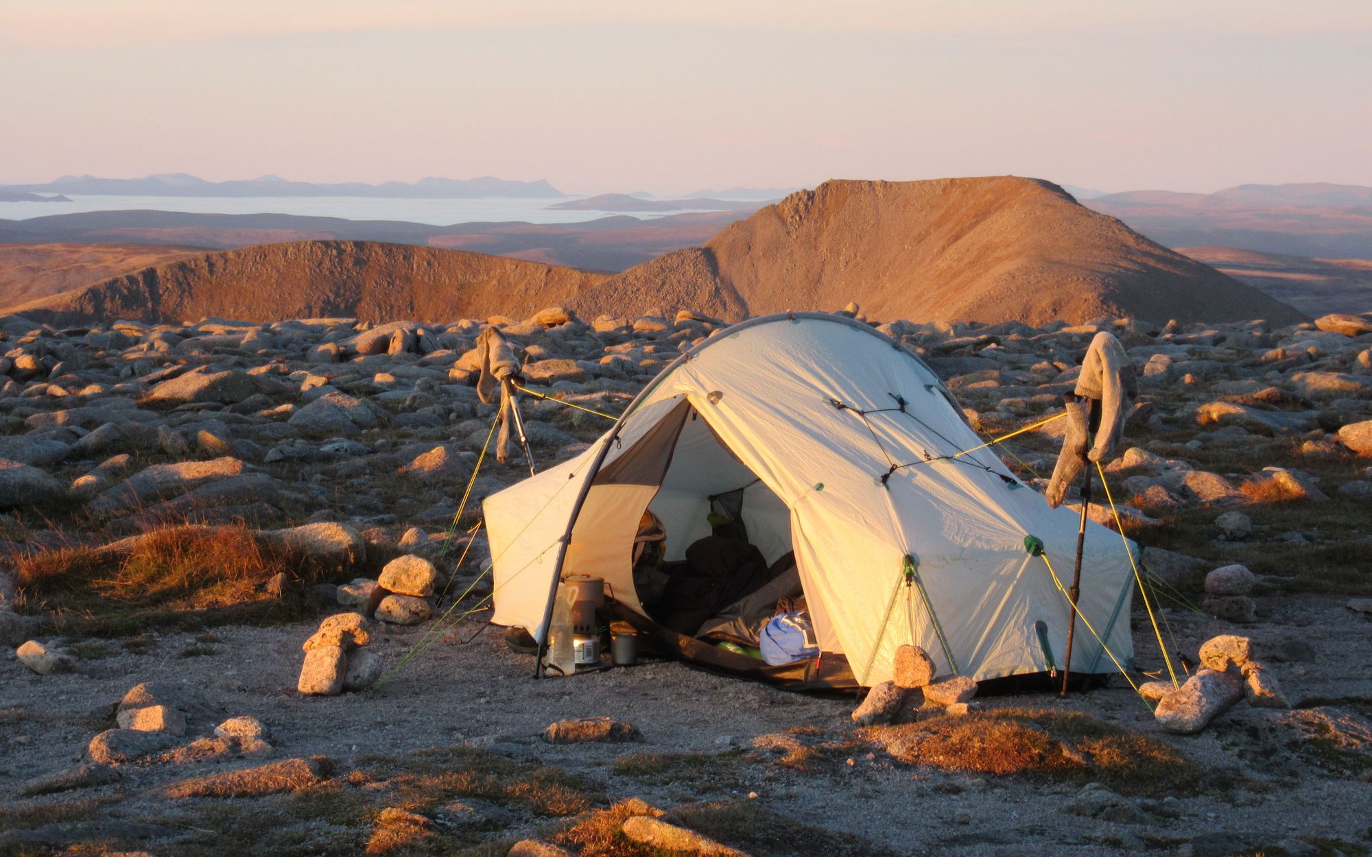
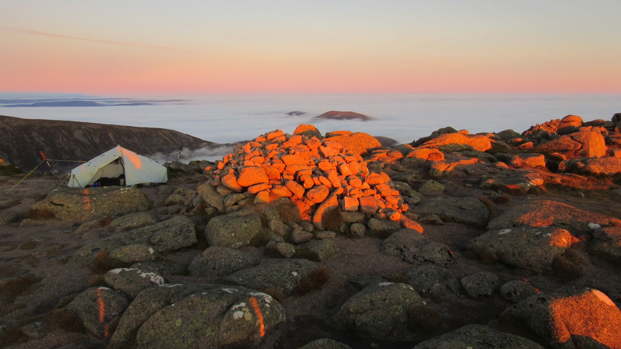
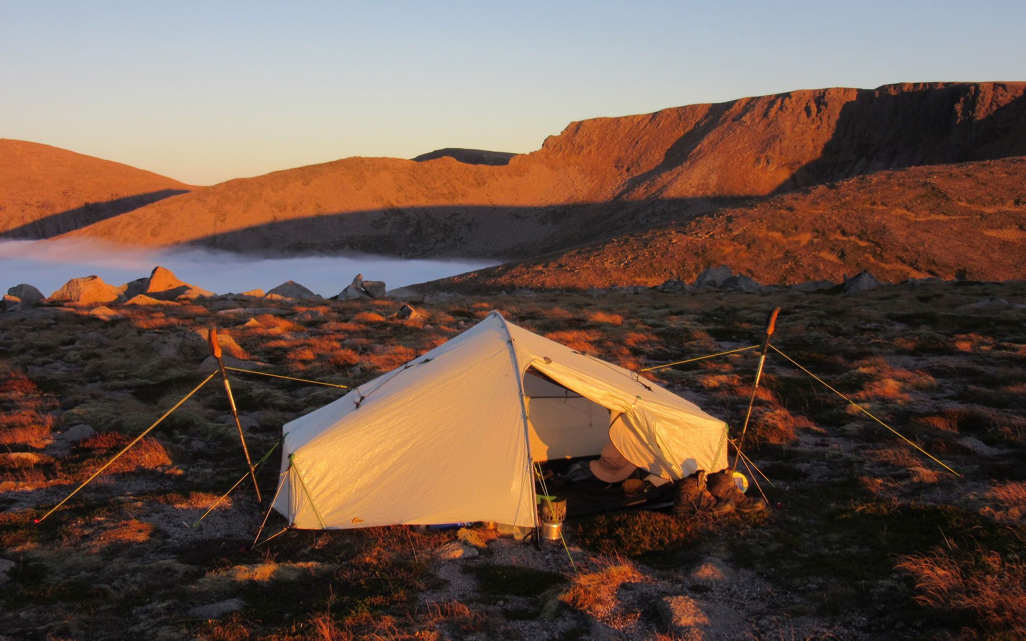
I was not optimistic that a summit camp on Bynack More was going to be possible as my memory from previous visits was that there's just a lot of rocky tors and I was expecting to have to go down to the flatter grassy surroundings to find anything. But amazingly there was a rock-free gritty pitch right next to the summit cairn! It was a fabulous spot camped above the sea of cloud to the north.
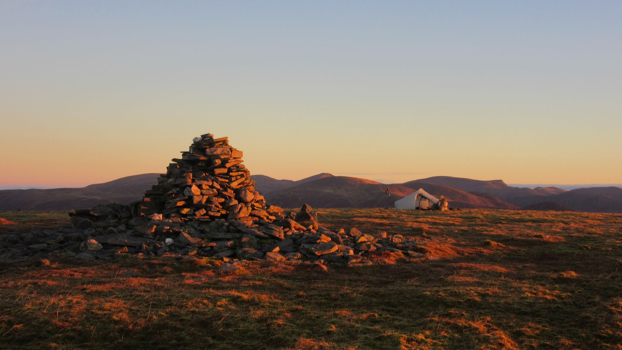
Camped at 1090m on Bynack More.
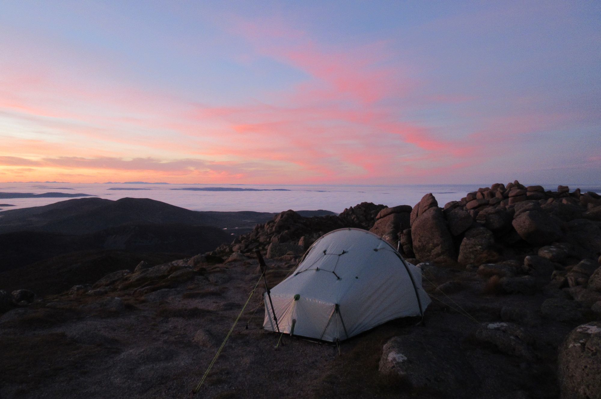
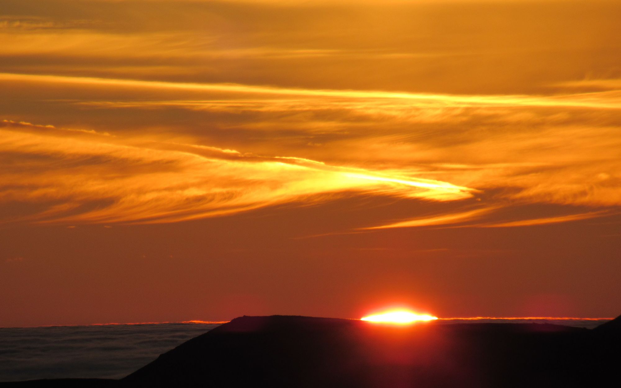
Sunset on Bynack More.
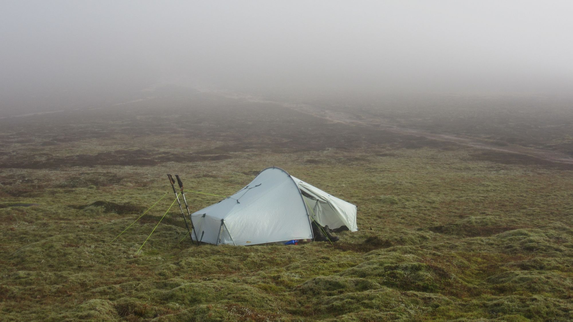
Day 5: Bynack More - Lurcher's Crag
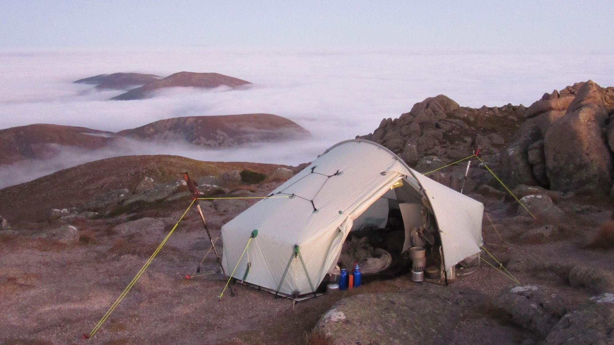
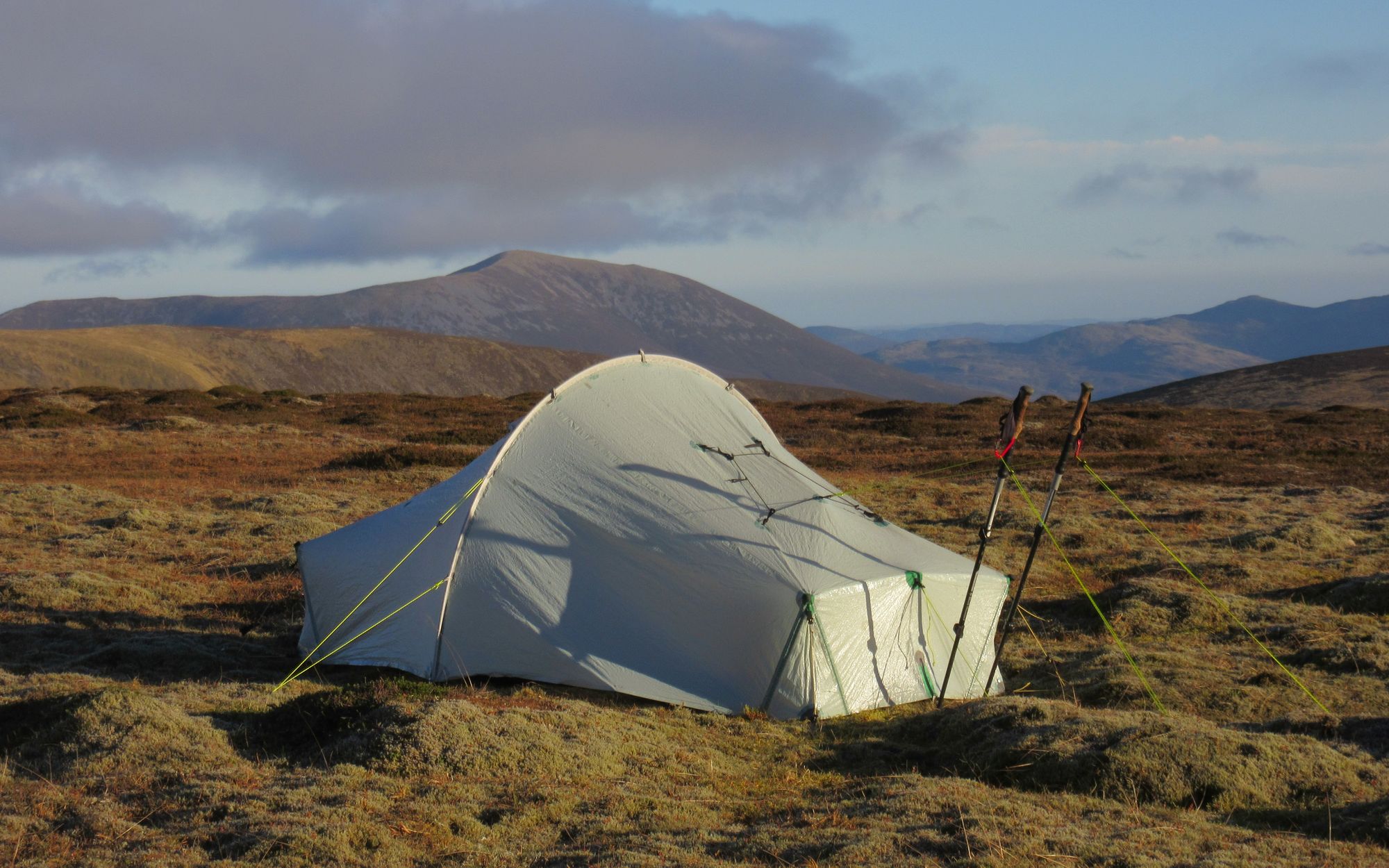
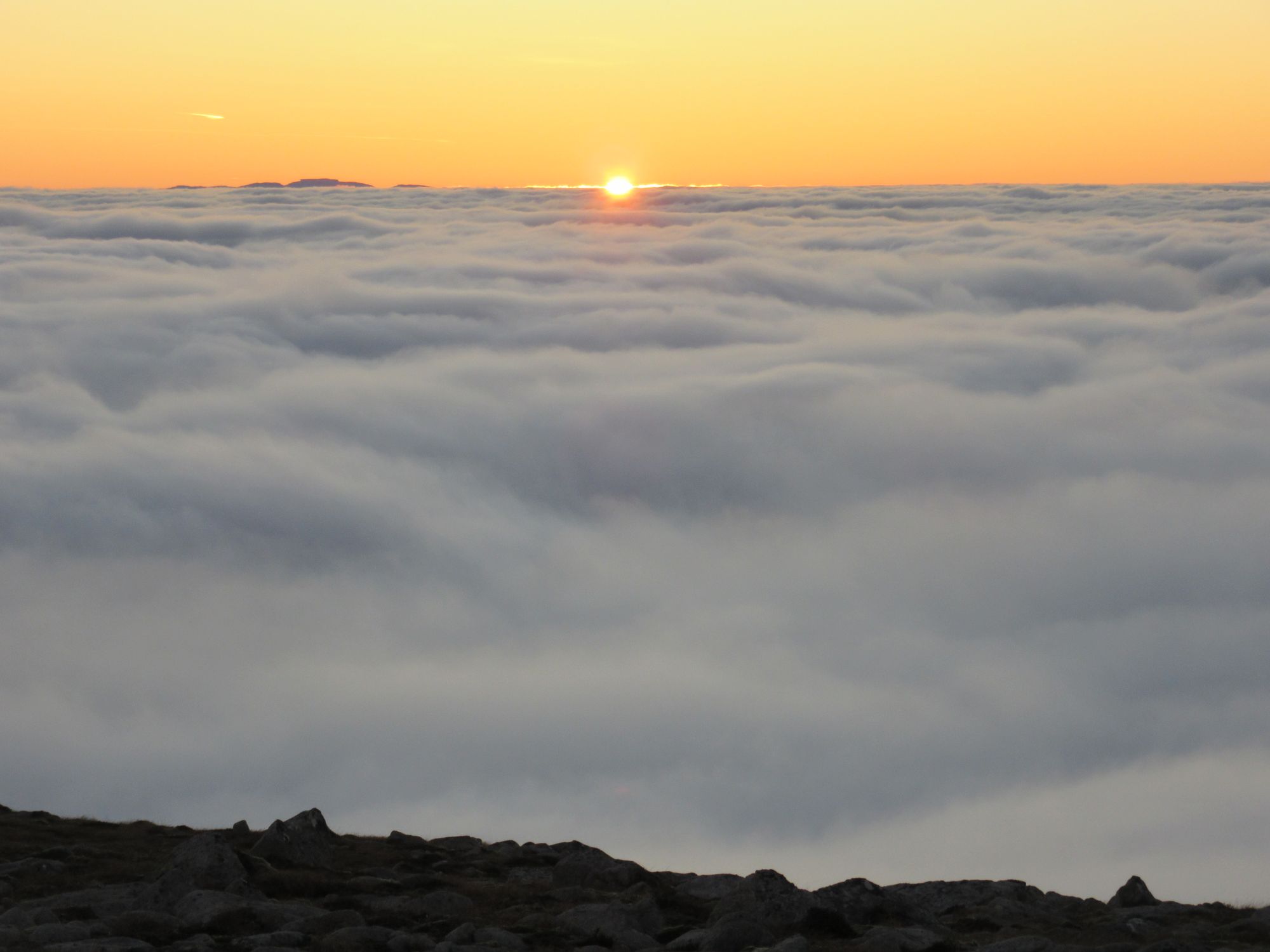
Conditions were just as amazing in the morning, with the inversion conditions persisting.
Camped on Bynack More in the morning.
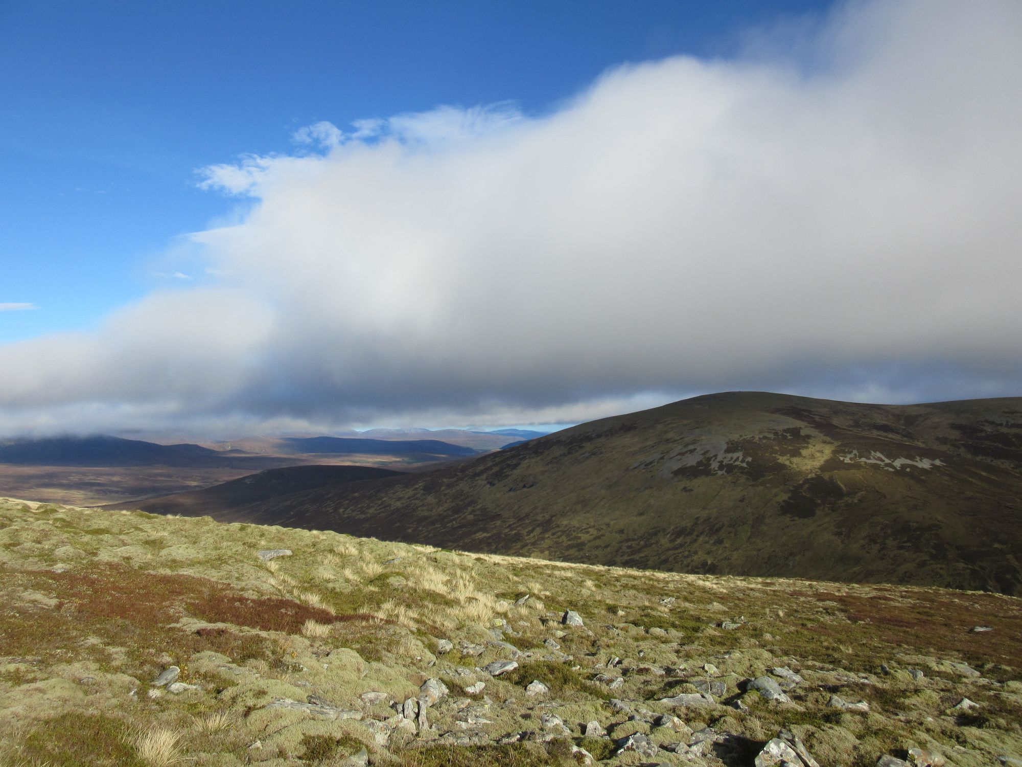
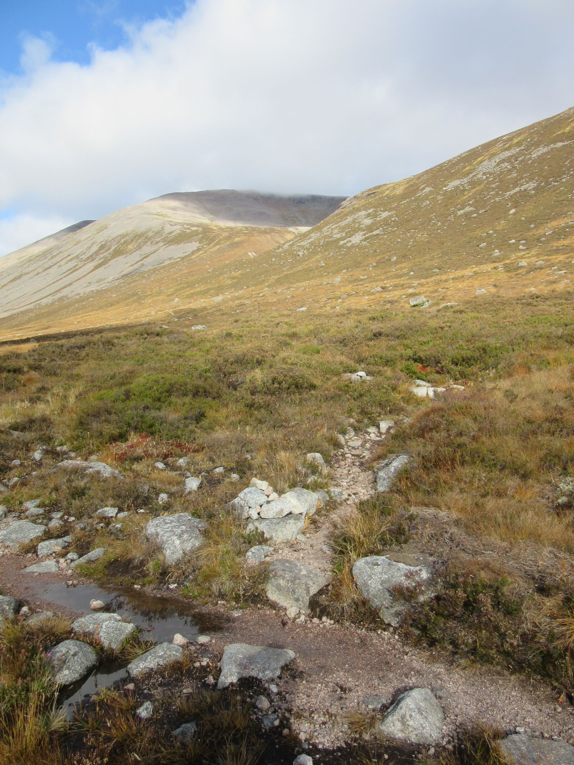
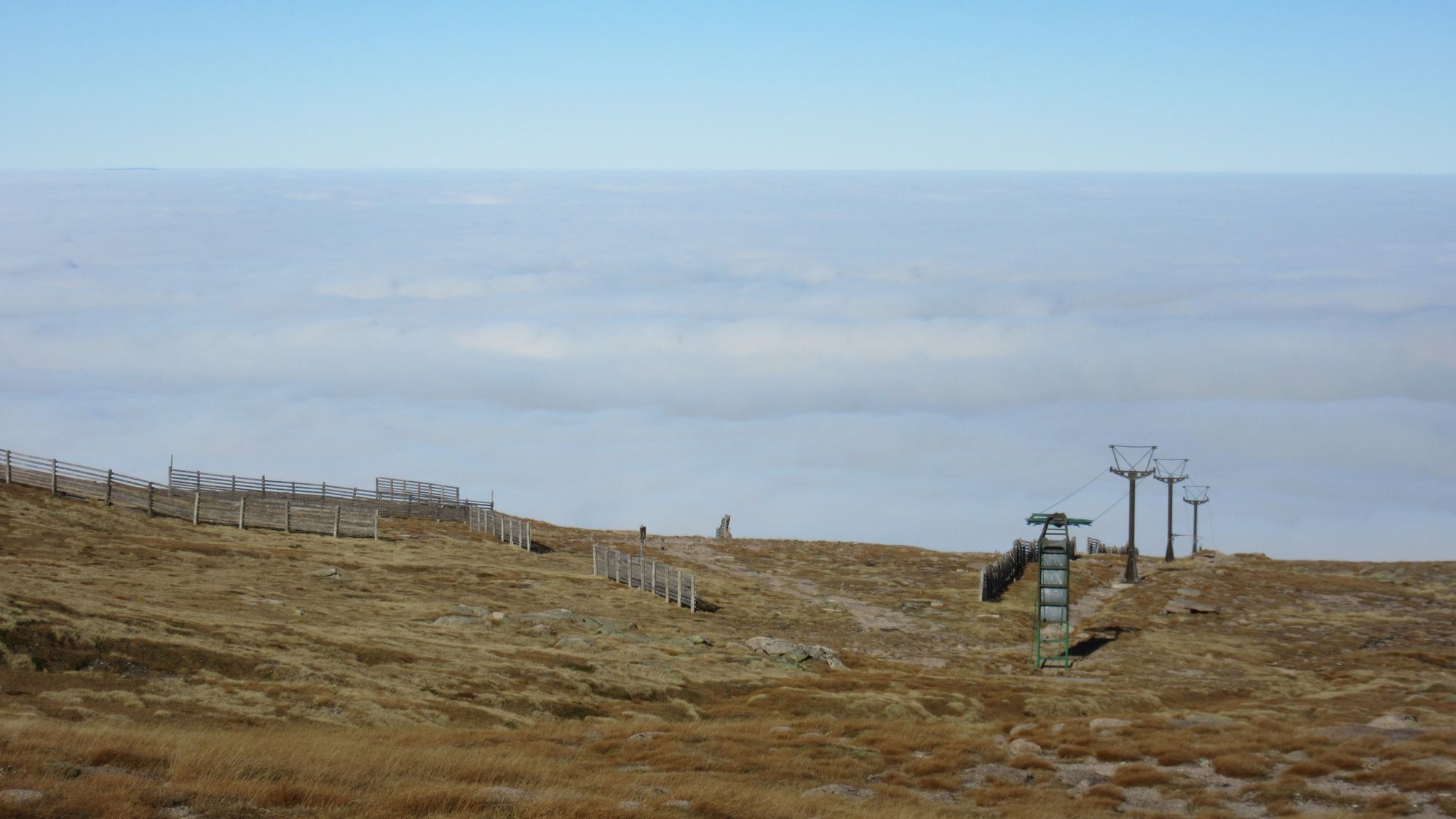
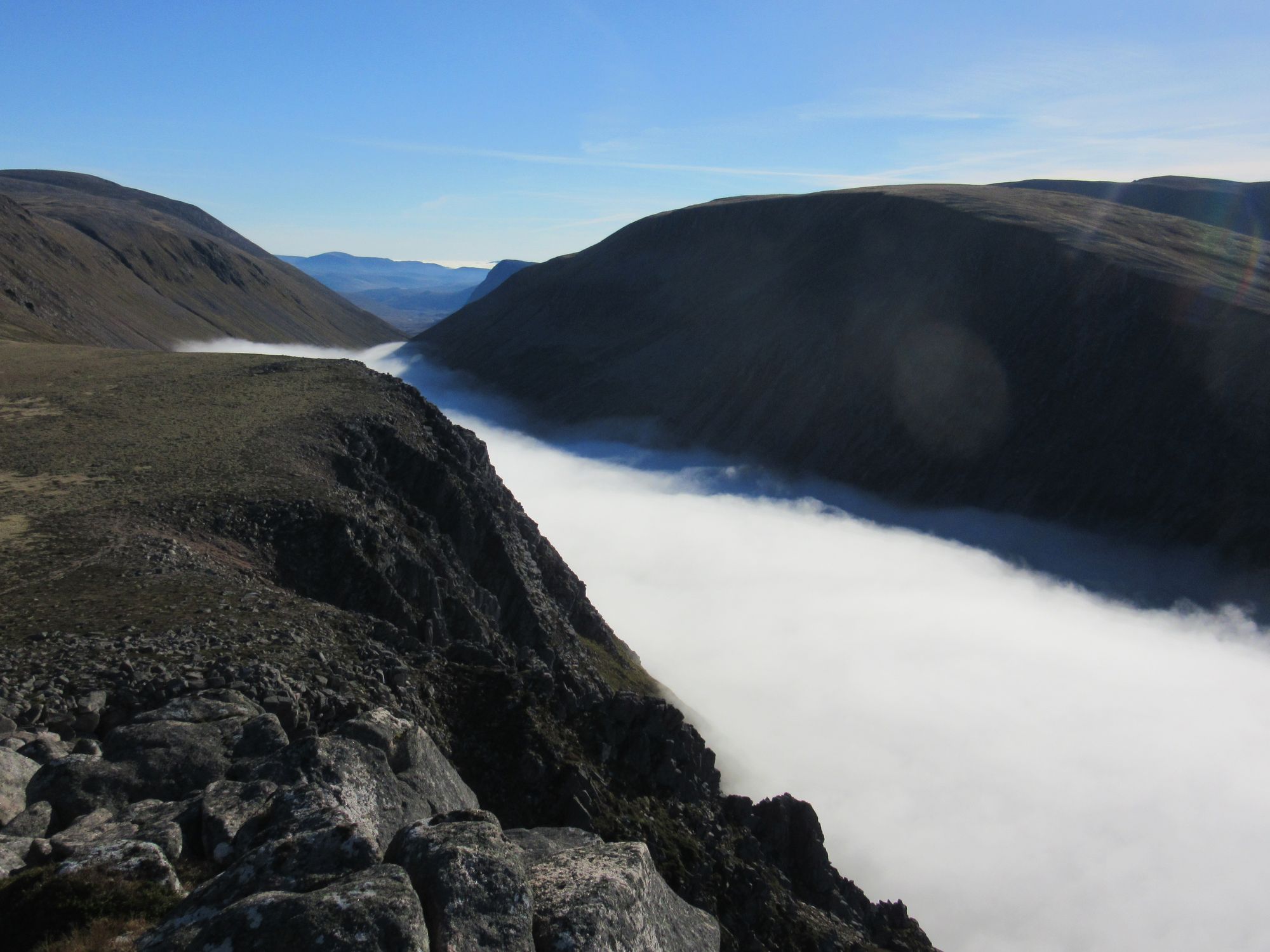
With all bagging objectives for the trip completed and the weather stable there was no pressure to do anything or be anywhere other than to get myself into position to get out to Aviemore for a train home the next day. I headed down from Bynack More back to The Saddle and then over Cairn Gorm (quite busy) and along the rim of the Northern Corries to Lurcher's Crag, which was an obvious opportunity for a last high camp before heading down into the Rothiemurchus Forest (and the cloud!). Water for a camp was obtained from a burn flowing off north-east from the dip before Lurcher's Crag.
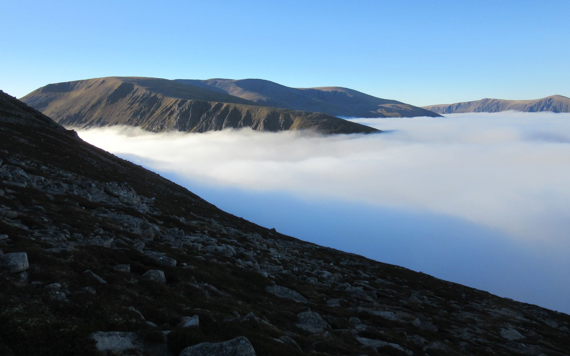
Cairn Gorm to Lurcher's Crag.
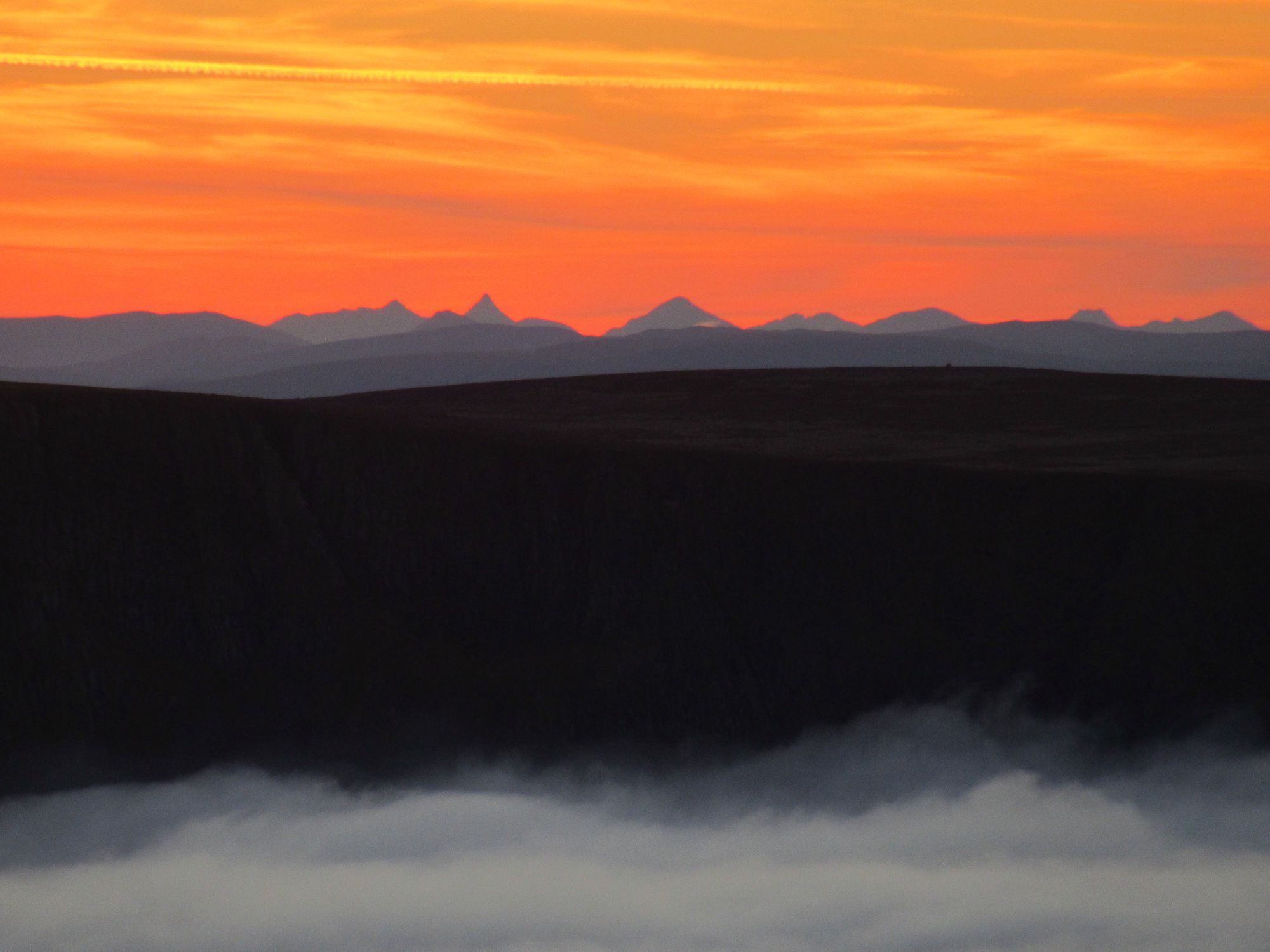
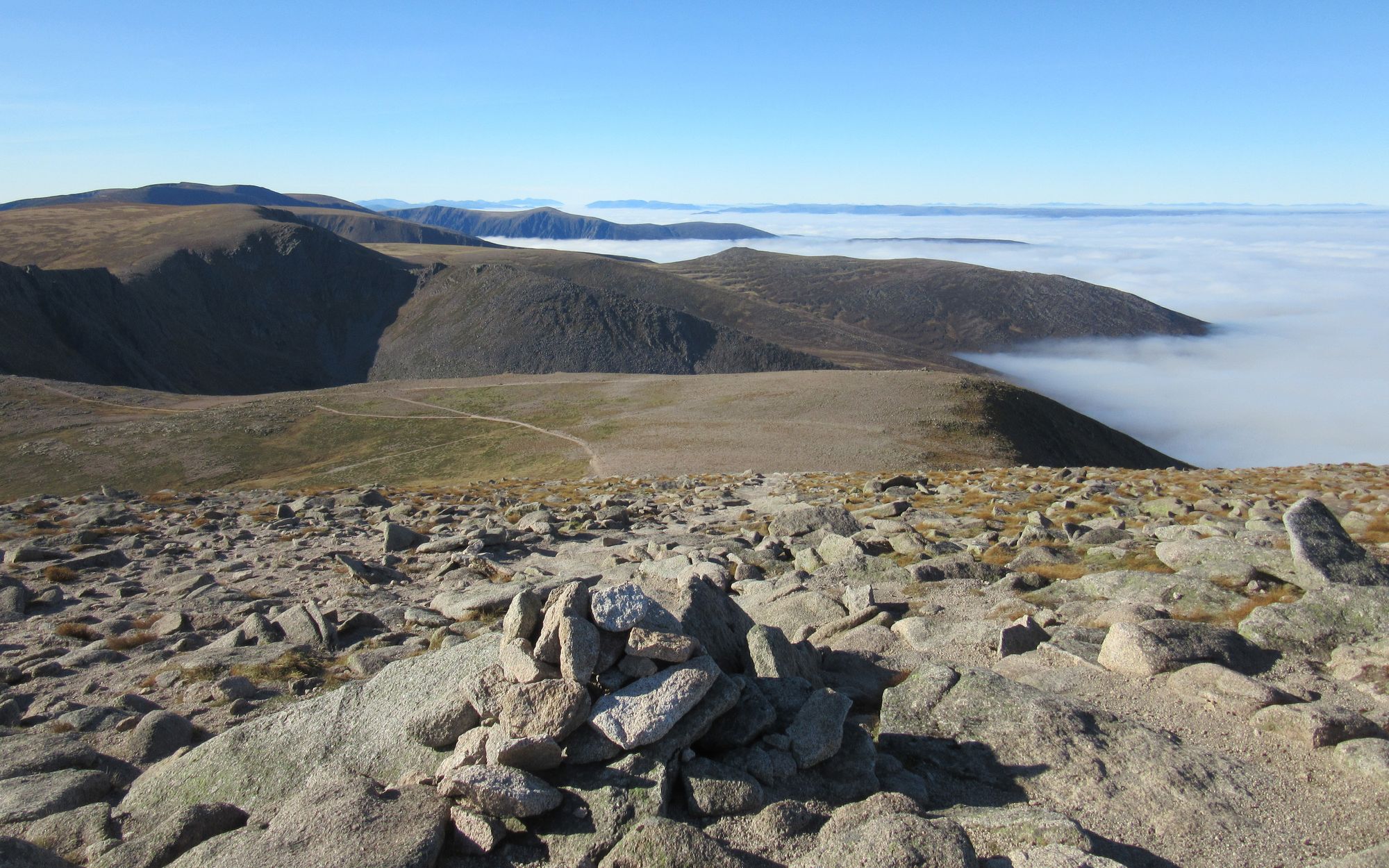
The layer of cloud was flowing through the Lairig Ghru like a river!
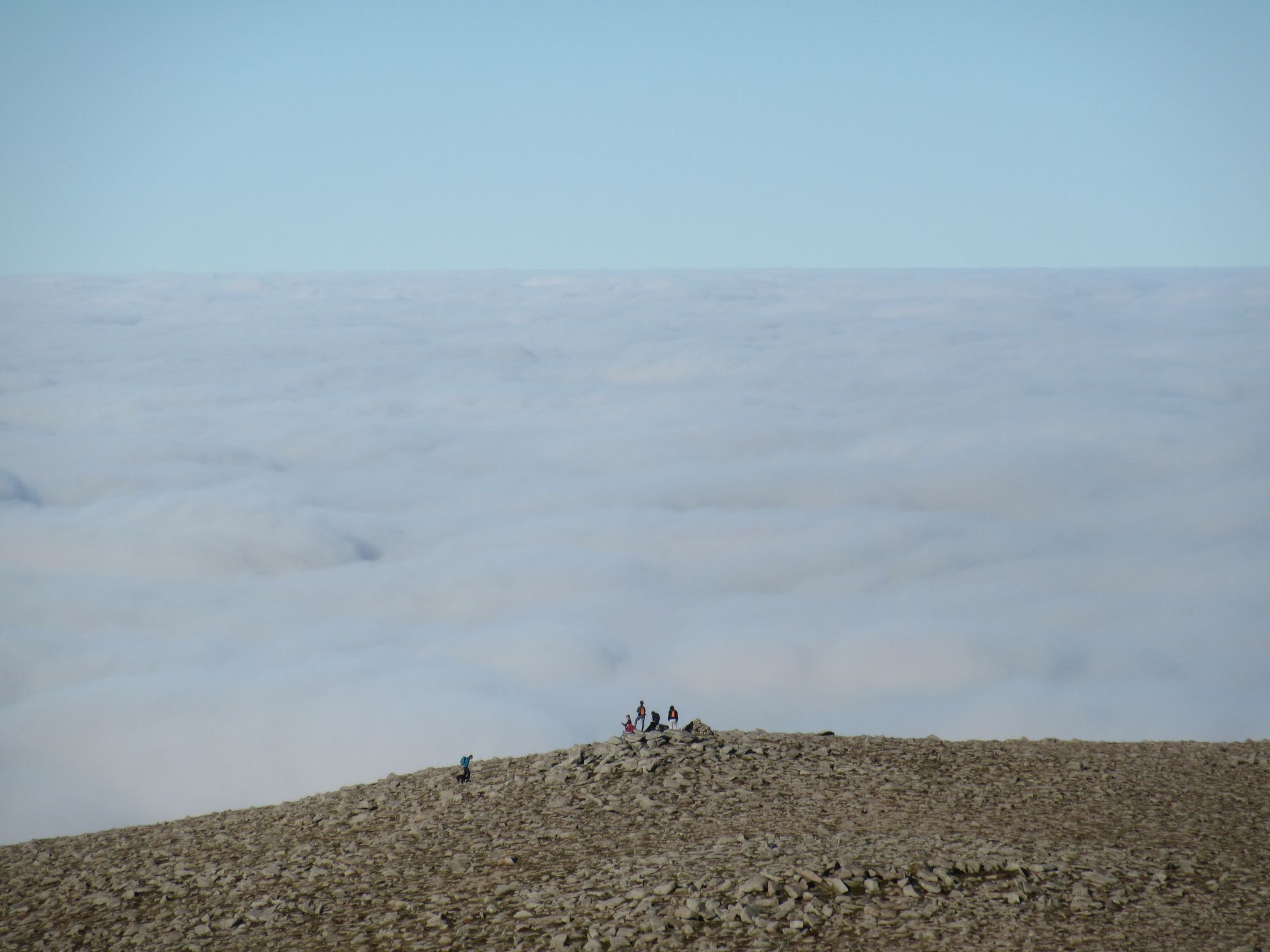
Sights from Lurcher's Crag.
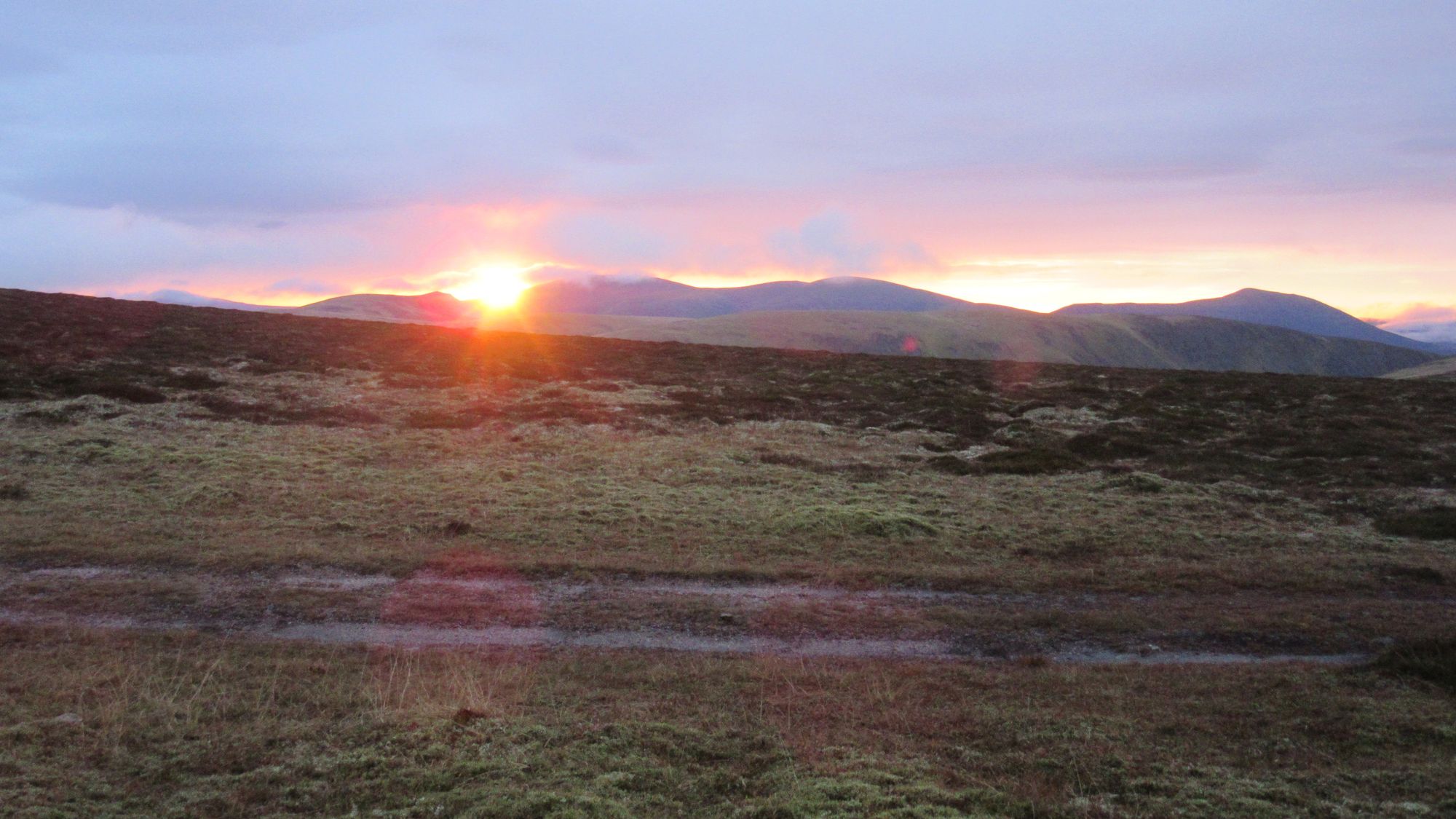
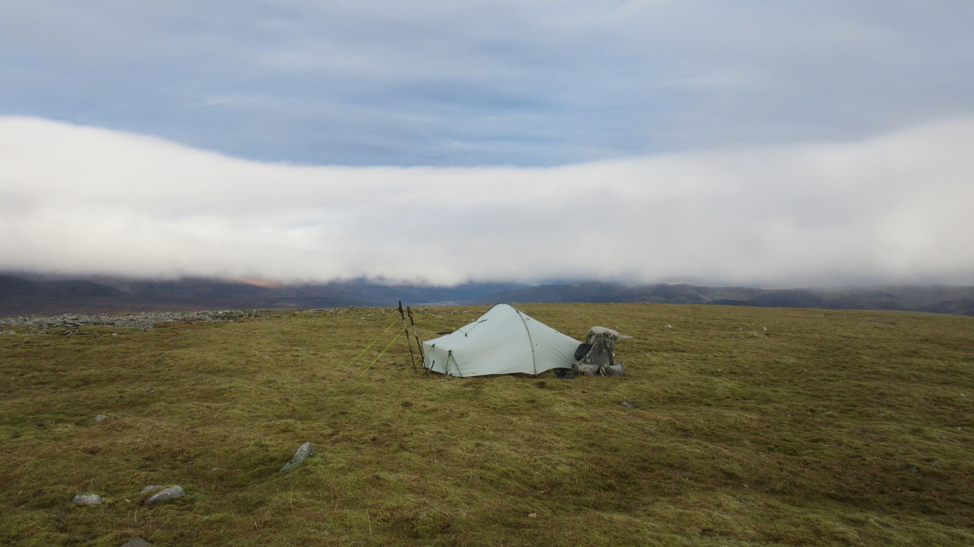
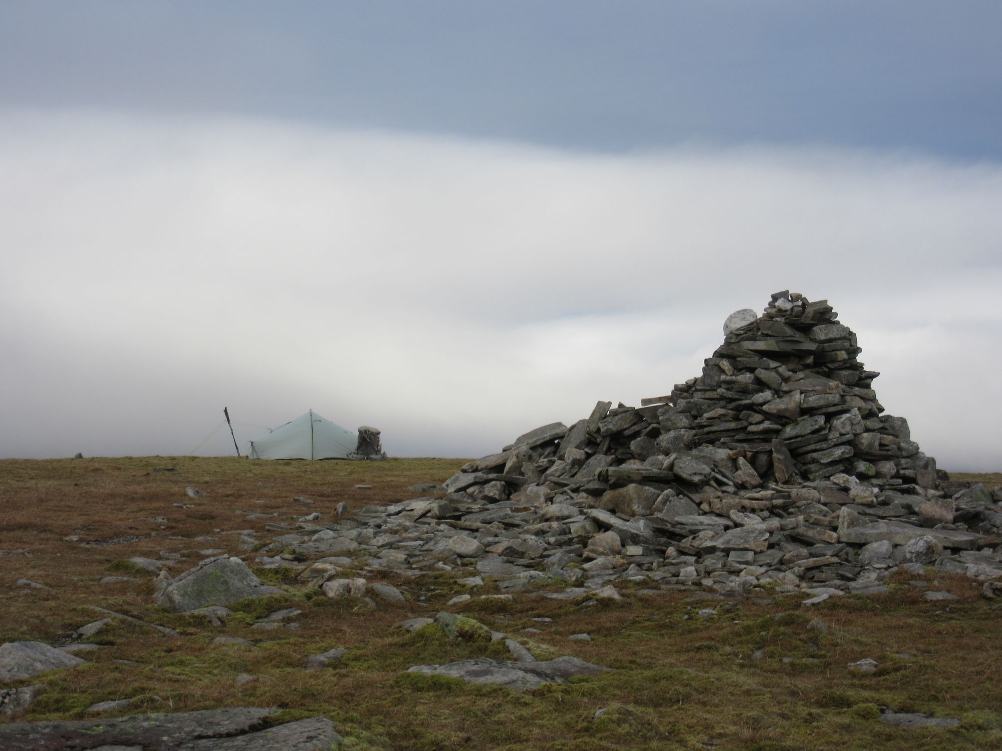
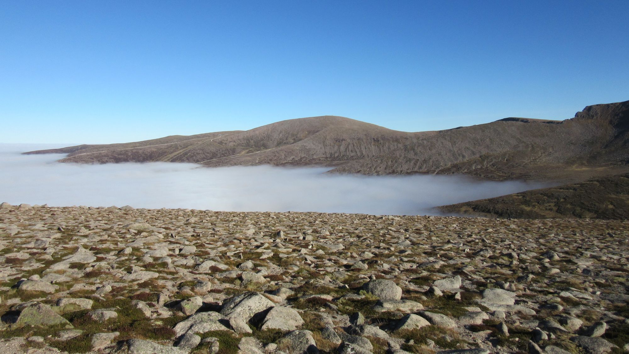
The dips between the rocky high point and the couple of lumps to its north were flat enough for a camp and with good views, but still very stony. After quite a bit of searching I was able to find a stone free gritty patch providing a good pitch and a fine camp was made with the sun setting into a sea of clouds again.
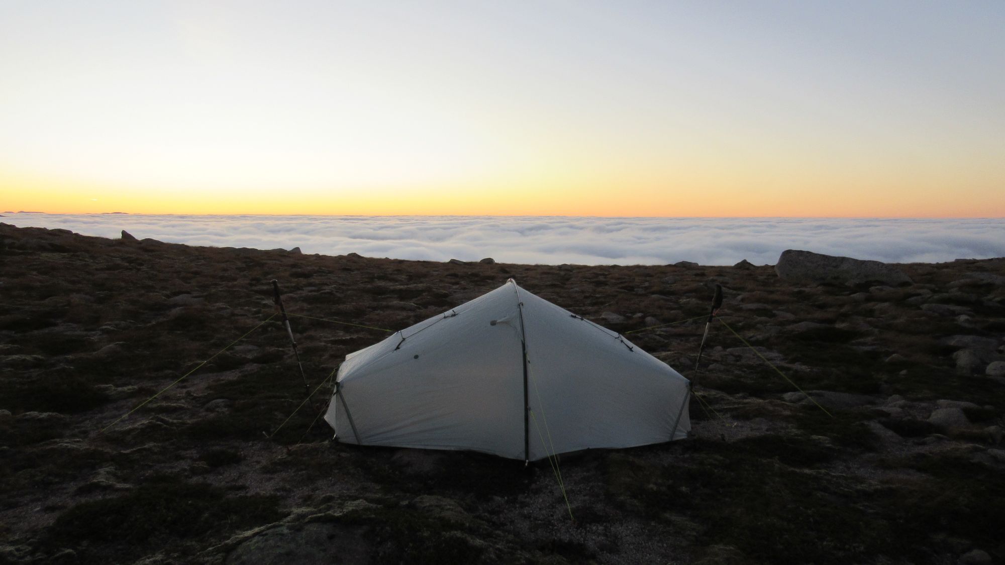
Sunset on Lurcher's Crag.
Day 6: Lurcher's Crag - Aviemore
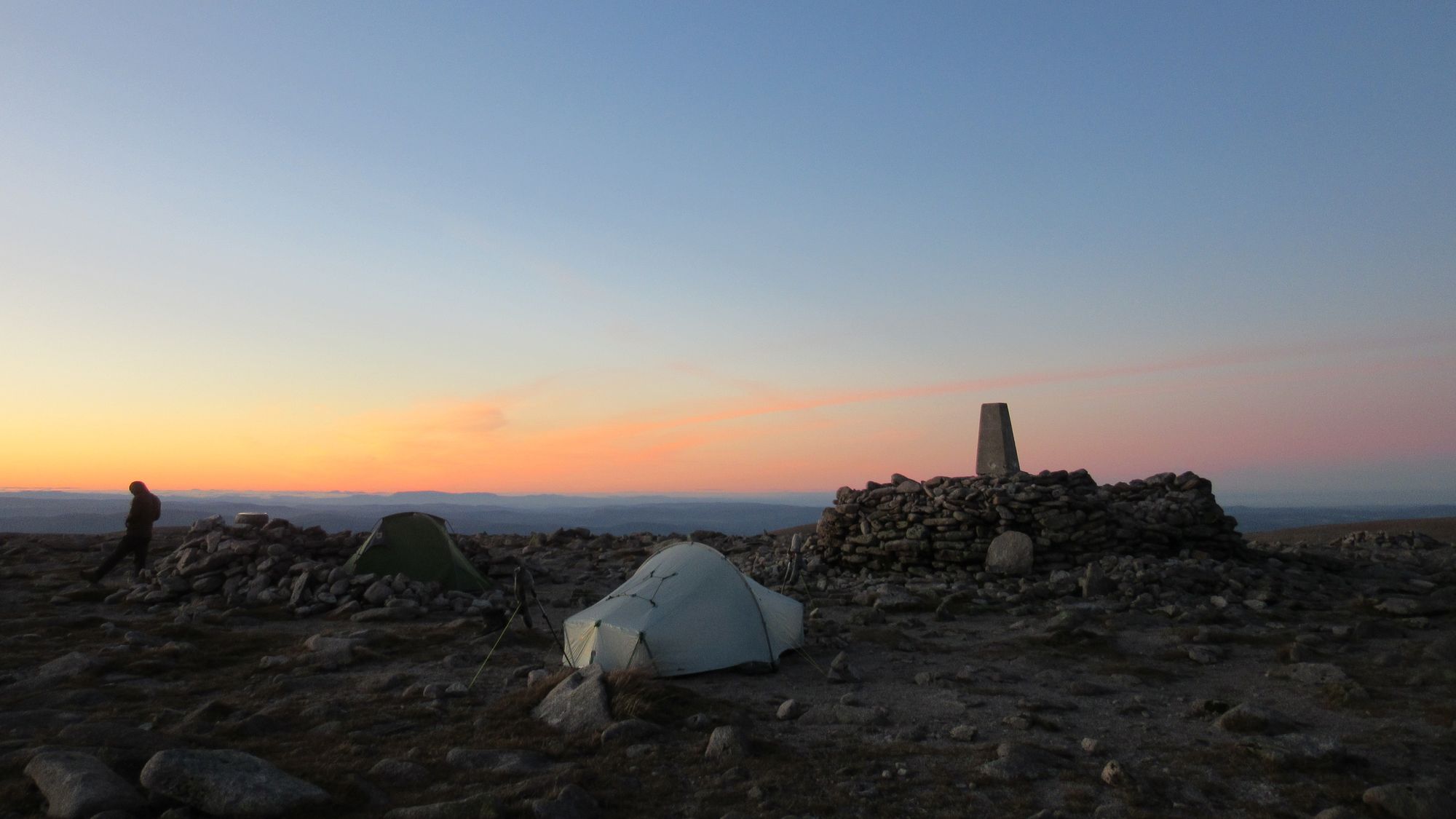
Morning camped on Lurcher's Crag.
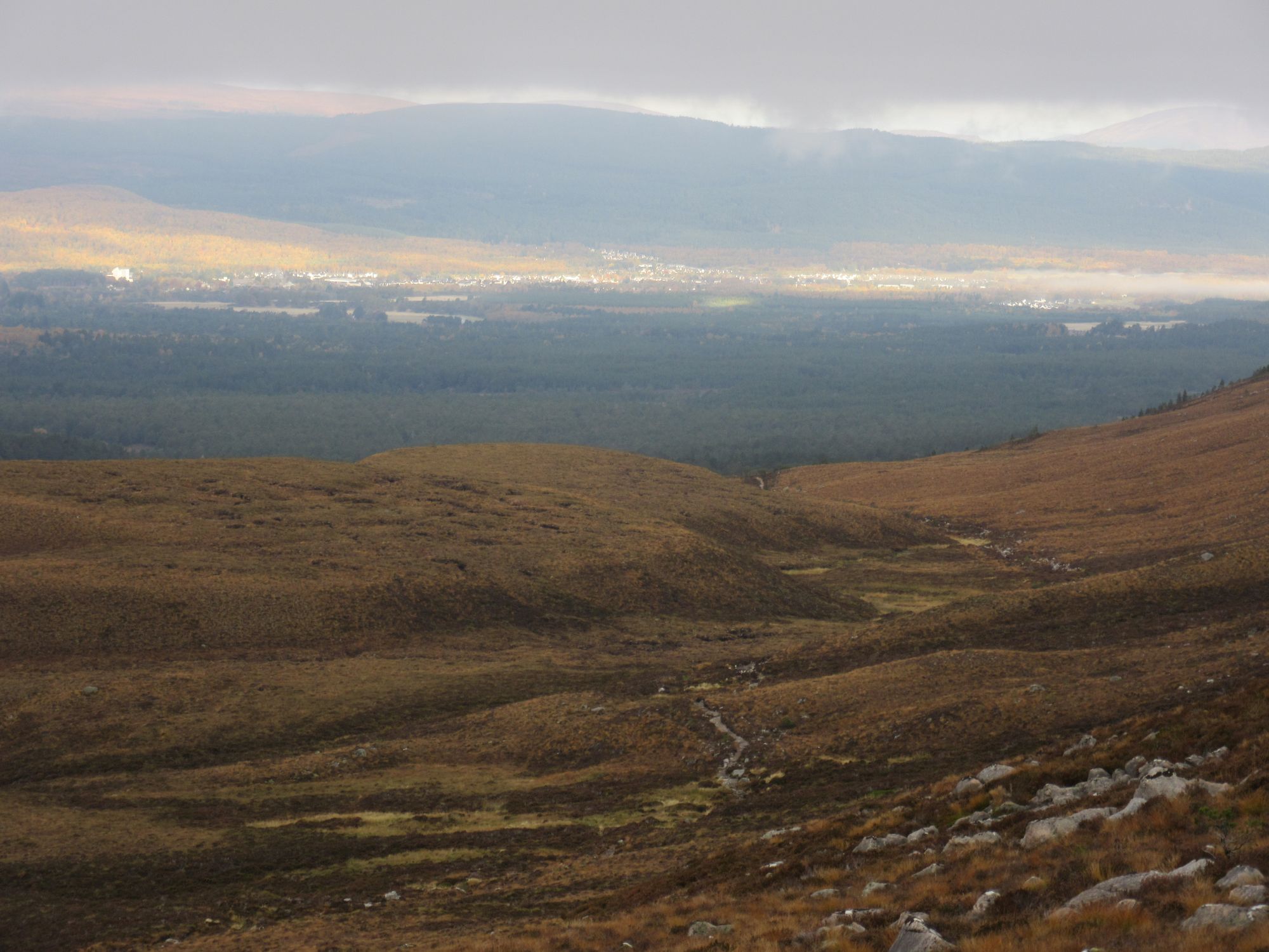
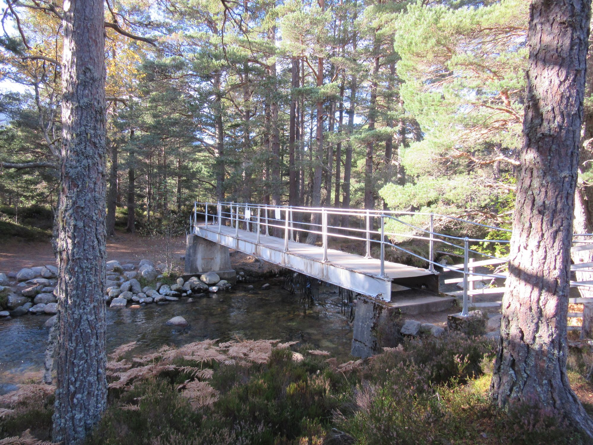
It was finally time to head for home. I didn't have enough food for another night out, but the weather forecast showed the stunning conditions would not last much longer so I did not mind heading out from the hills too much. I descended from Lurcher's Crag through the layer of cloud (a couple of hundred metres thick) and down into the Rothiemurchus Forest, crossing the Cairngorm Club footbridge and going out to Coylumbridge and heading into Aviemore via the "Logging Road".
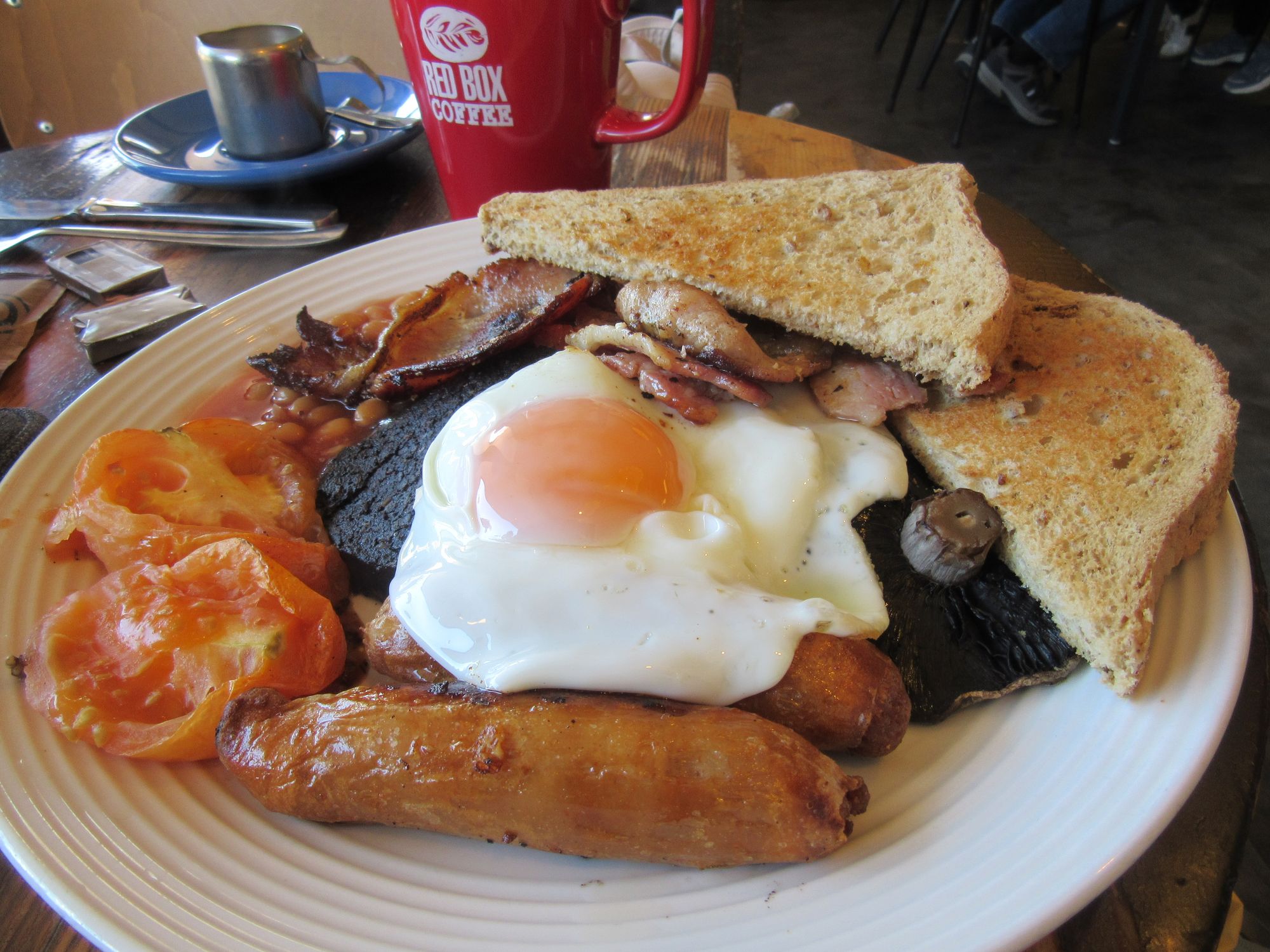
I got into town about 12:30; the next train was around 13:30 so I had time for a fry-up from the Cobbs cafe near the station.
The route
This map shows my trail of Garmin inReach pings, at ~30 minute intervals plus camps and summits (went south to north, from Blair Atholl to Aviemore):
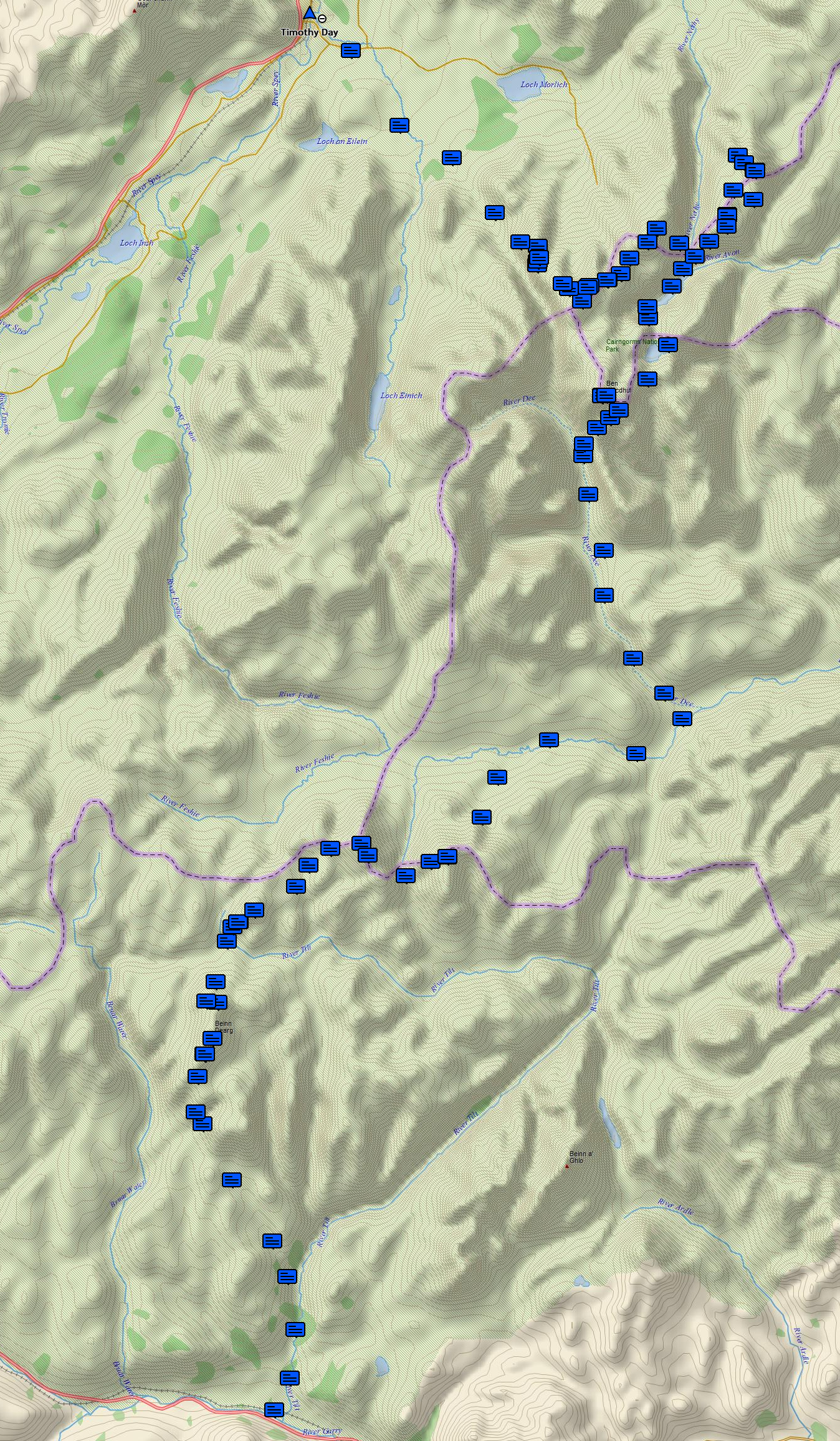
This was a fairly leisurely pace compared with most "bagging" trips I've done: a total of 95km and 4300m of ascent, over the equivalent of about 5 full days (taking into account the first and last days were really just half days). The biggest day by both distance and climbing was from An Sgarsoch to Ben Macdui which was ~26km and 1030m ascent.